







Circular hike to Baier
Circular hiking trail from Dietlas via Martinroda-Hohenwart-Baier-Weilar-Stadtlengsfeld-Menzengraben back to Dietlas

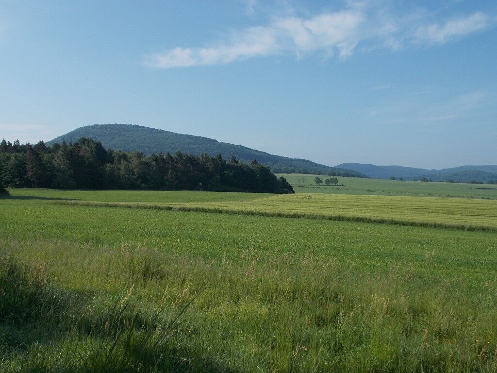
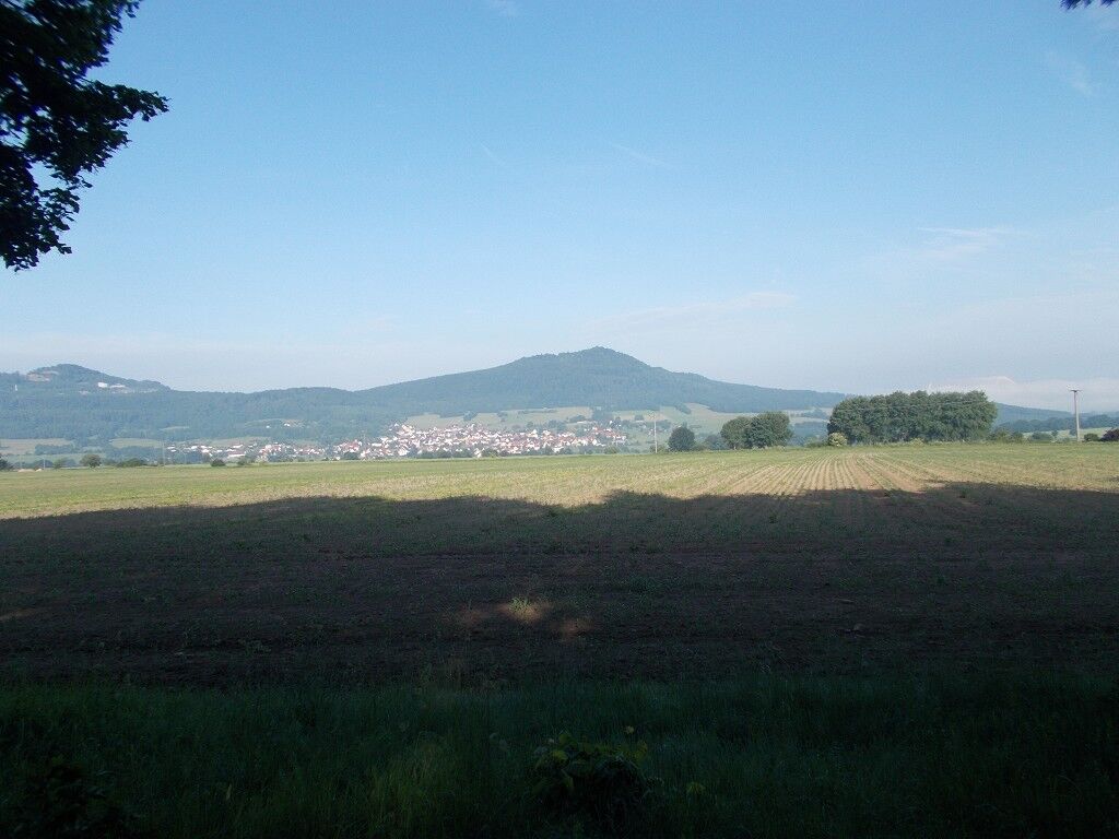
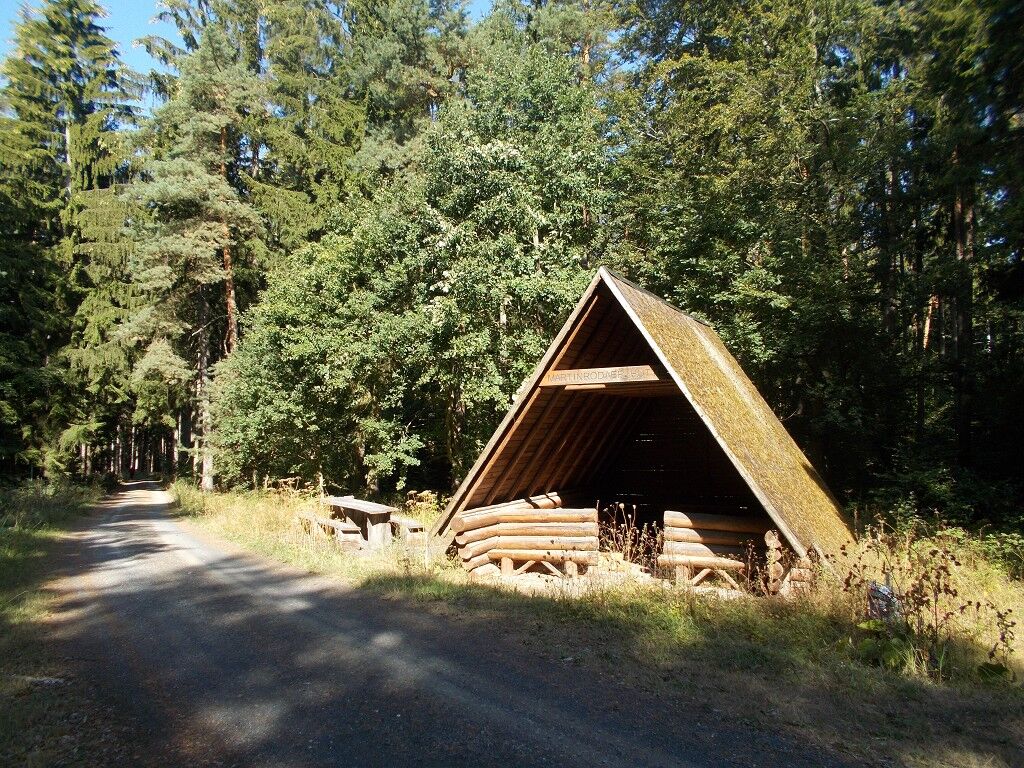
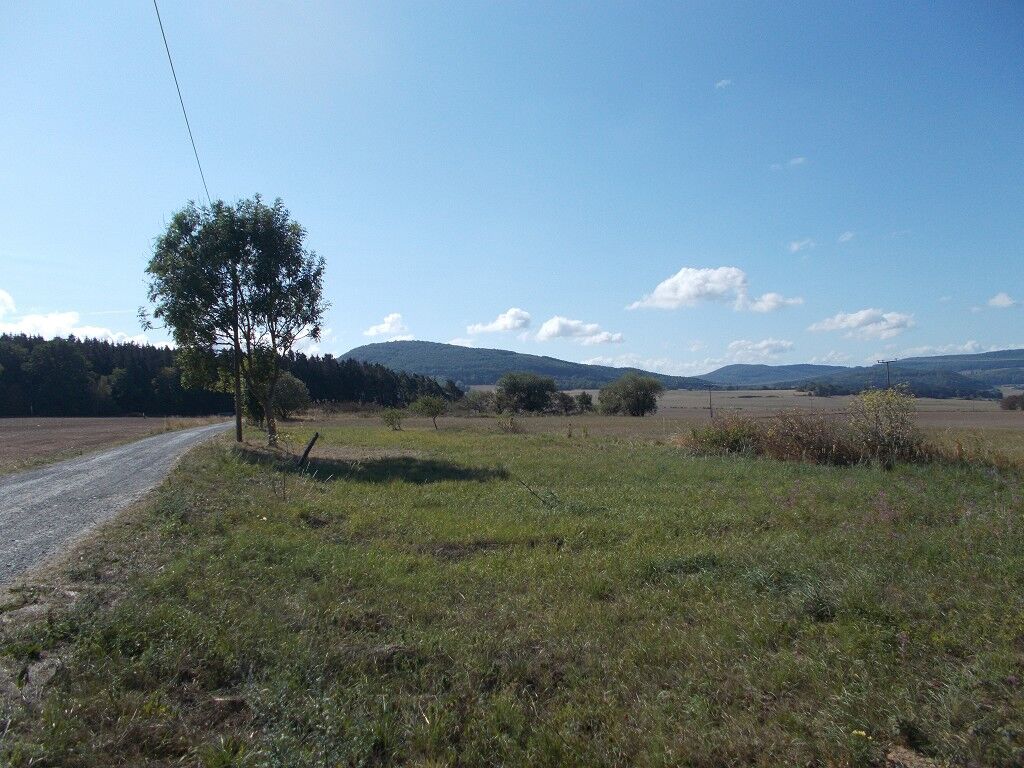
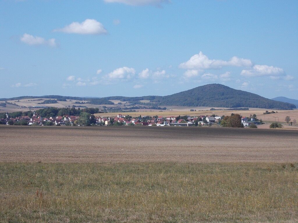
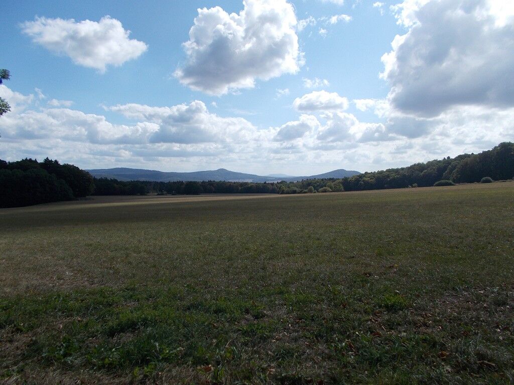
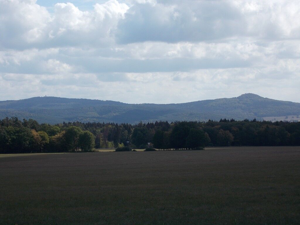
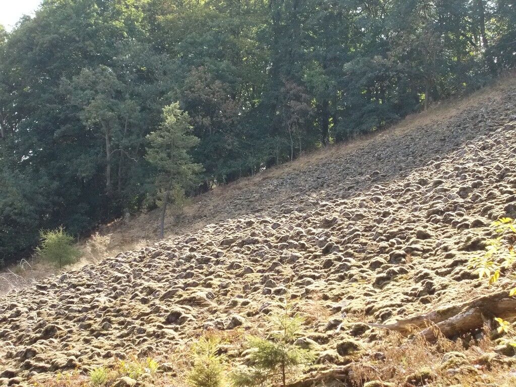
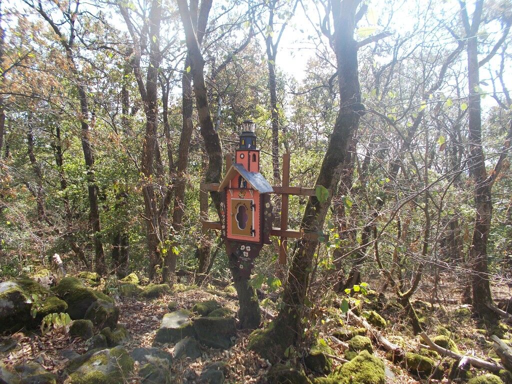
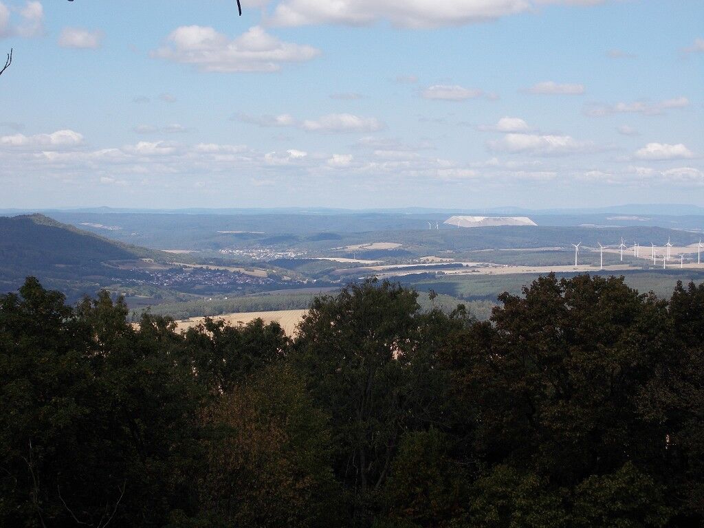
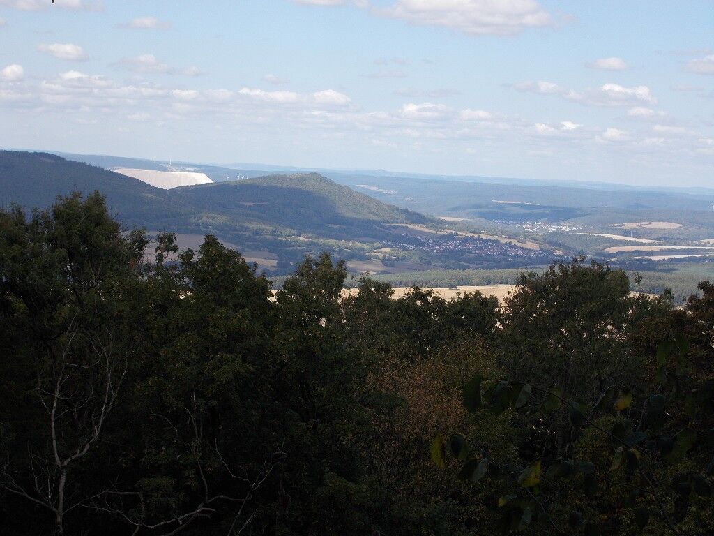
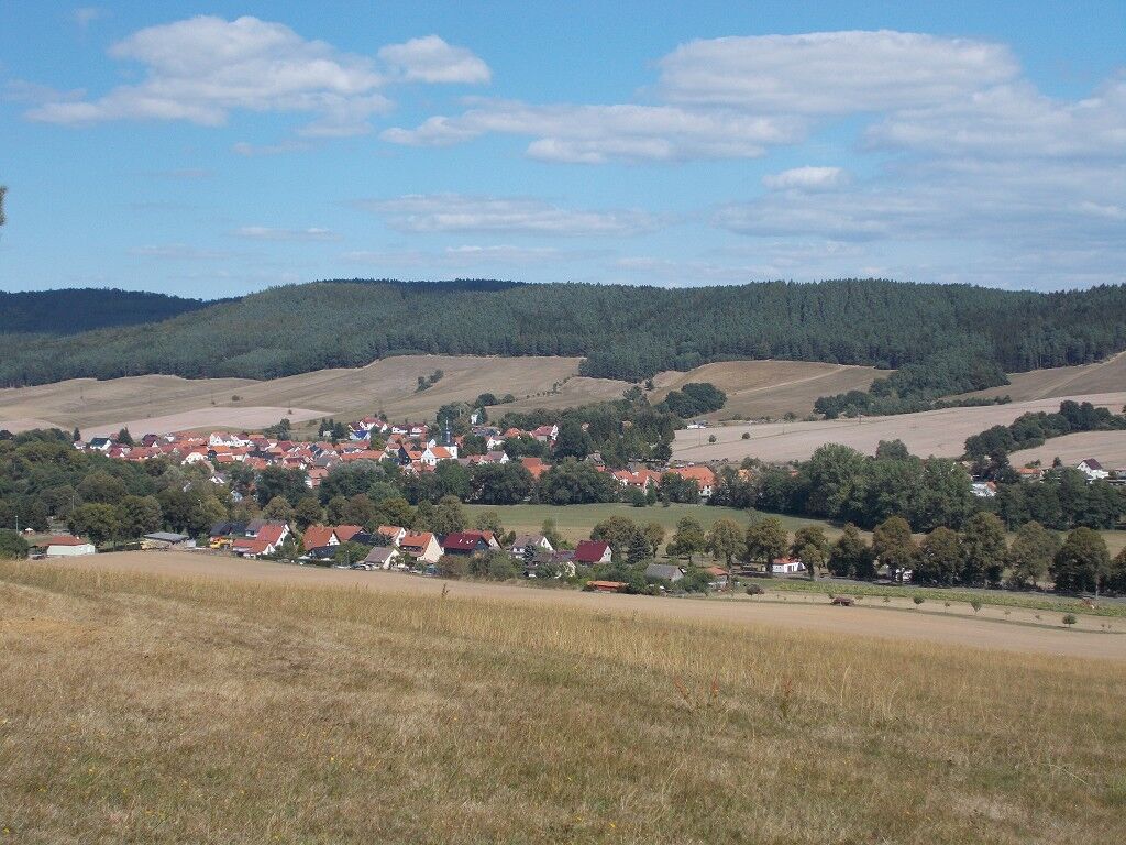
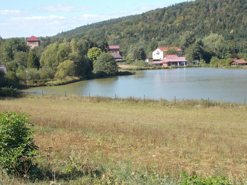

The hike starts in Dietlas in the village center at the linden tree. We follow the hiking marker (EH) to Martinroda. This is the first challenging ascent. Afterwards, the path runs more pleasantly without major height differences up to Baiershof. From Martinroda, you can see far into the distance. You can see the Rhön mountains and the Kali hills. Next, continue from Martinroda towards Hohenwart. Here, you switch from the (EH) trail marker to the red wedge. After passing the small village of "Hohenwart," cross the main road and continue along the paved forest path towards Baiershof. Along the way, after about 9.7 km, we pass the Fischbachlinden tree, where there is also a shelter hut where you can take a break. From here, it is not far to the hiking hostel at Baier, which welcomes guests with homemade cakes and bread on Sunday afternoons from spring to autumn. Next, continue to Baiershof; after about 350 m, you reach a crossroads where you turn right to reach the summit. Along the way to the summit, there are various signposts and a recurring white dot on the trees. The path leads past the stone sea, which is a deposit from the volcanic activities of Baier. The ascent is partly very arduous and strenuous. Upon reaching the summit (719 m), there is a seating area and a summit book in which you can register. Unfortunately, the view is very limited due to the dense tree growth. You can only look towards Martinroda and Philippsthal. The descent is somewhat easier, and we return to the crossroads. From there, continue downhill. Then follow the Rhönpaulusweg to Weilar. The trail marking is a white field with half-filled green wedges. Upon arrival in Weilar, cross the main road and head towards the village. There is also a restaurant on the left side of the main road. Arriving in the village, turn left towards the orchards in the direction of Stadtlengsfeld. In Stadtlengsfeld, follow the field bike path to Menzengraben, then continue along the forest edge and go through the forest back to Dietlas.
Tak
Sturdy footwear
Parking available at the linden tree in Dietlas
On Sundays and public holidays, the hiking hostel at Baiershof is open in the afternoon.
There are restaurants in Weilar, Stadtlengsfeld, Menzengraben, and Dietlas. Opening hours need to be inquired about.
Uzyskaj wgląd
Zawsze na żywo z ponad 9 500 kamer internetowych. bergfex Jako użytkownik Pro, możesz teraz zobaczyć odpowiednie kamery internetowe dla wielu wycieczek w aplikacji wycieczki od. Pozwala to na bezpośredni podgląd aktualnych warunków.
Popularne wycieczki w okolicy
-
4,0
Hiking - Stork Trail Bad Salzungen
światłoTrasa tematyczna 5,89 km -
Circular route - In the Footsteps of the Old Knights to Frankenburg - Breitungen
średniWędrówka 14,3 km -
Cycle path - Rosatal cycle path - Wernshausen to Weilar - Thuringian Forest
średniJazda na rowerze 21,8 km -
Werra Wasser Wandern 4: Bad Salzungen - Vacha
średniKajak / Canoe 21,5 km -
Long-distance hiking trail - Werra Castle Trail X5 - From Fehrenbach to Hann. Münden
ciężkiWędrówka 359,1 km -
Bike round trip - Great Viba route - Breitungen-Bad Liebenstein-Schmalkalden-Thuringian Forest
ciężkiJazda na rowerze 64,2 km -
Circular hike to Krayenburg
średniWędrówka 15,0 km -
Circular hike - city route - Bad Salzungen
światłoWędrówka 9,74 km -
Circular hike - Frankenstein - Bad Salzungen
światłoWędrówka 4,26 km -
5,0
BAD SALZUNGEN | Frankenstein-Tour
światłoWędrówka 10,9 km
Wędrówki i tropienie


Nie przegap ofert i inspiracji na następne wakacje
Twój adres e-mail została dodana do listy mailingowej.





