






Nature Park path - Ski jump views - Panorama path - Brotterode - Thuringian Forest
Poziom trudności: T1
The Nature Park path is a moderate route around Brotterode and offers nearly nonstop picturesque panoramas of the impressive ski jump facilities, the town of Brotterode stretching into the Rhön, and of...
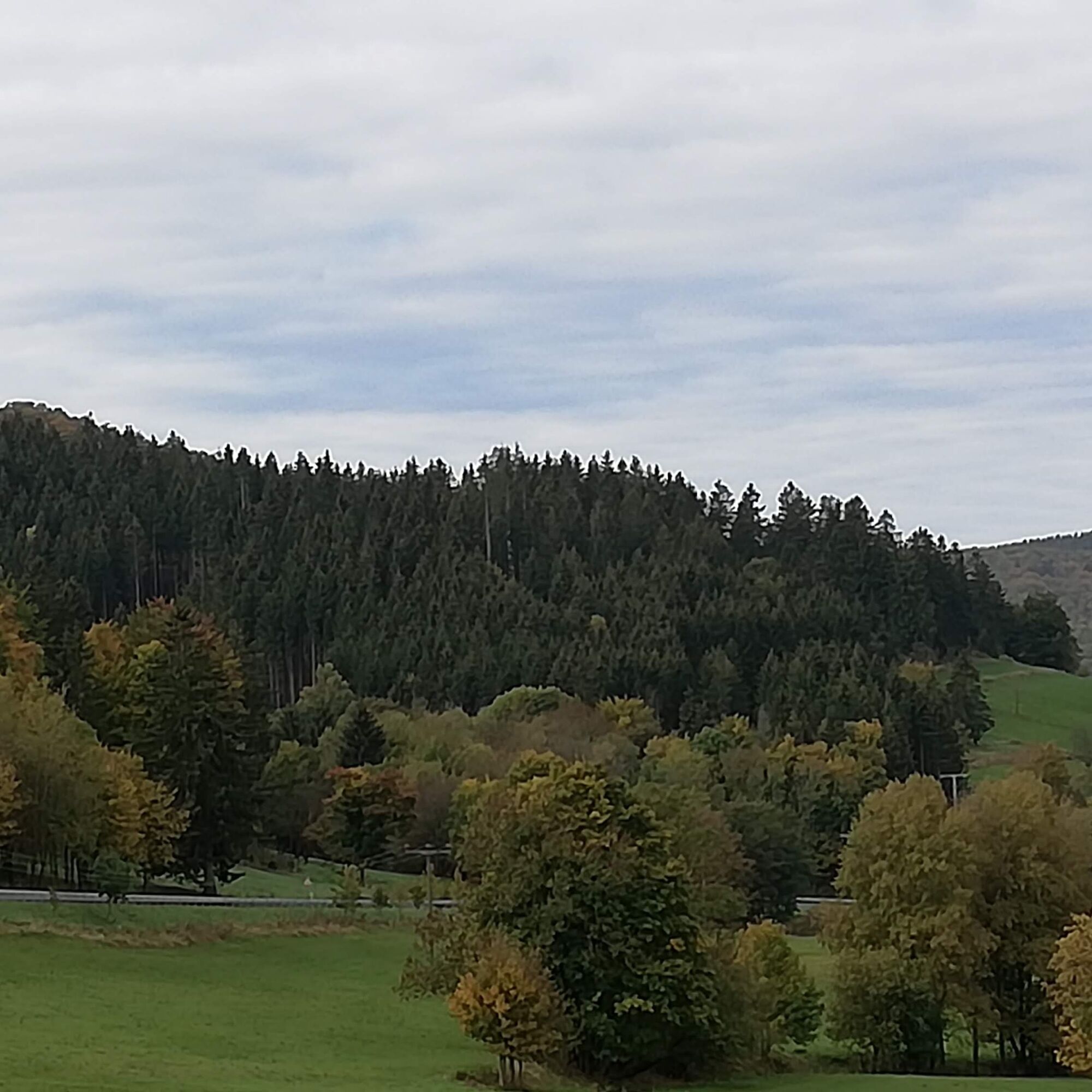
The Nature Park path is a moderate route around Brotterode and offers nearly nonstop picturesque panoramas of the impressive ski jump facilities, the town of Brotterode stretching into the Rhön, and of course the distinctive Inselsberg.
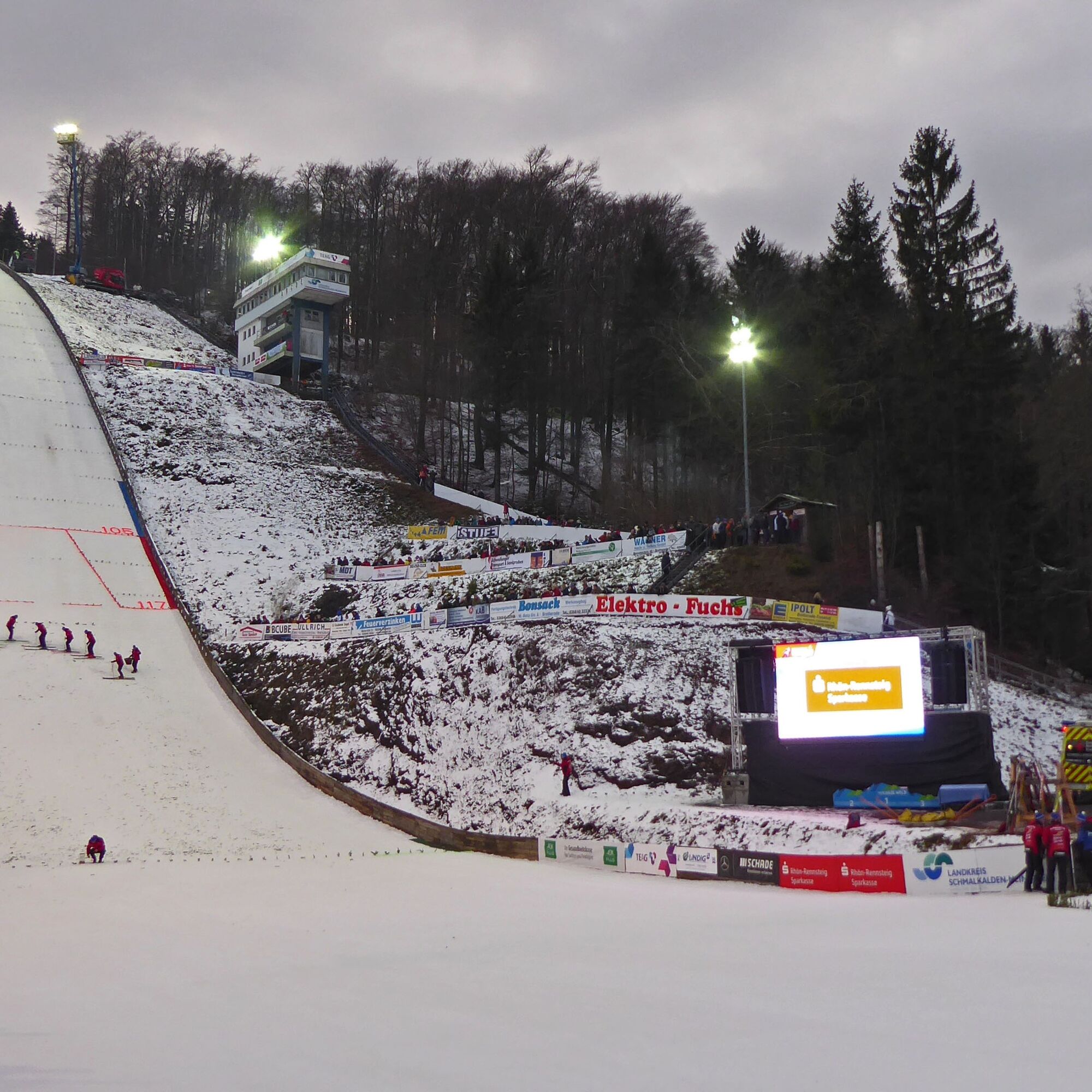
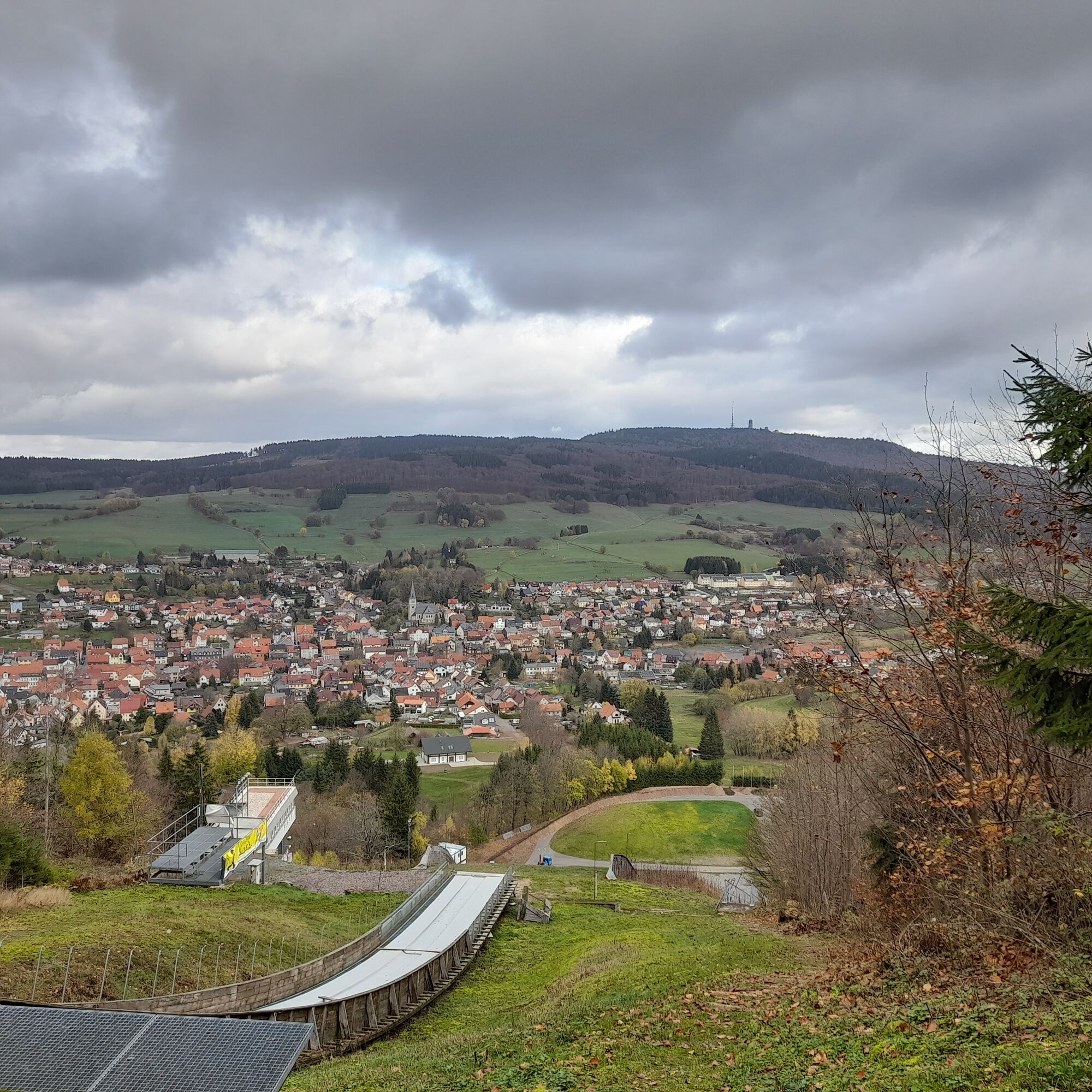
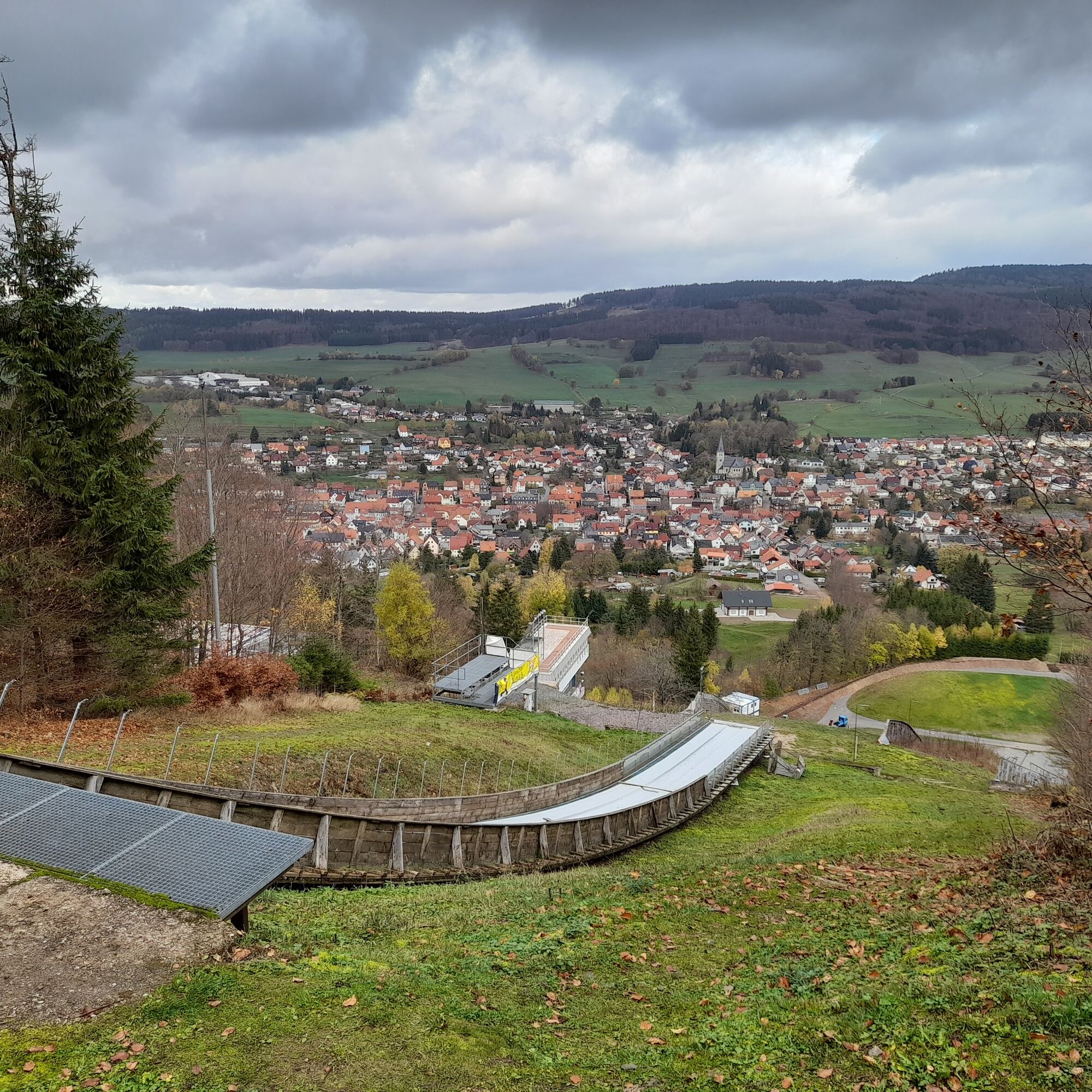
Already at the Nature Park gate Axdorf, the view is drawn to the large Inselsberg ski jump on the opposite Seimberg. Brotterode and winter sports have been inseparable since 1900: cross-country skiing, bobsleigh, luge, and of course ski jumping. The ski jump, built in 1920, is one of the oldest facilities in Germany where international ski jumping events still regularly take place today.
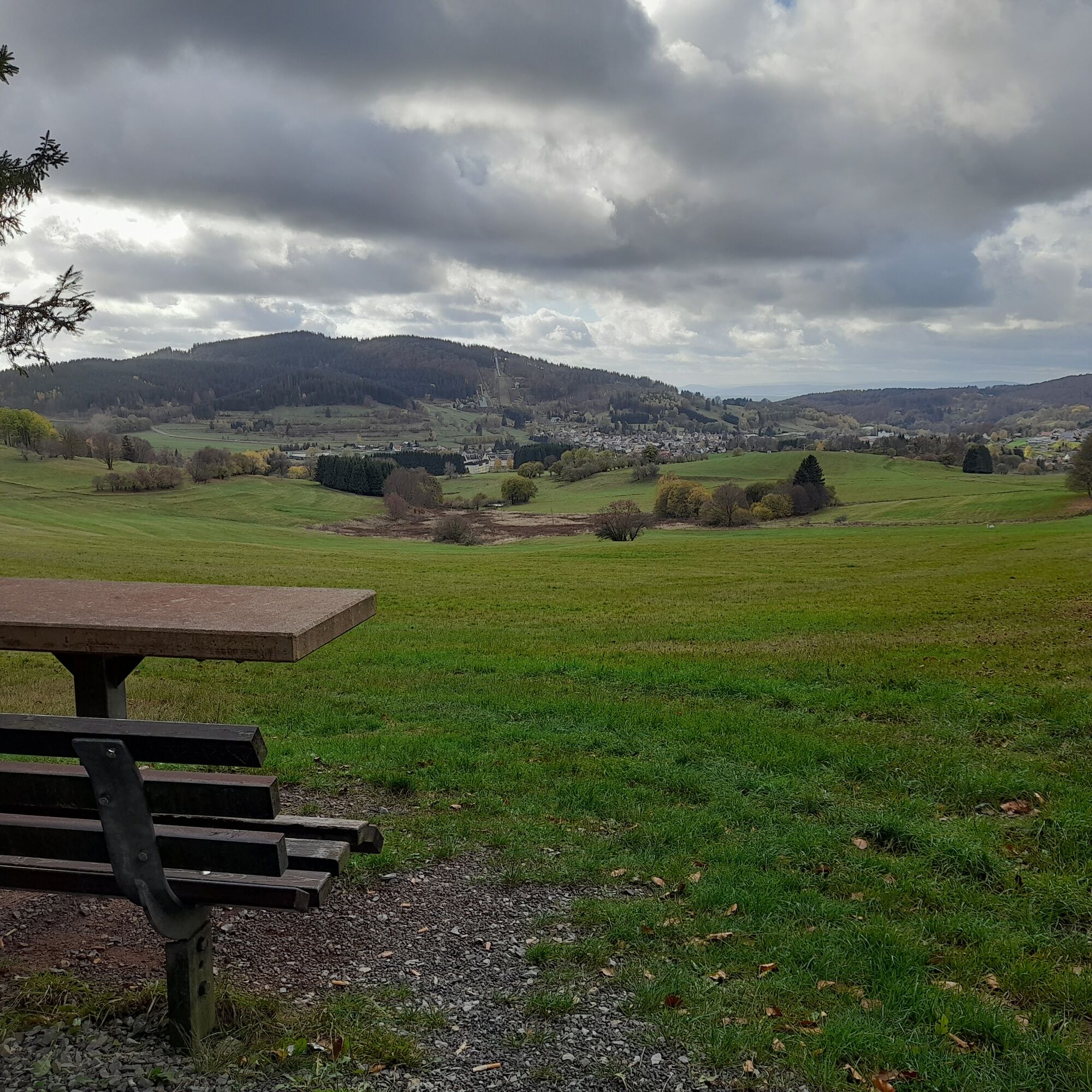
The Nature Park path leads leisurely along the heights and offers an unobstructed view of Brotterode and the ski jump facility. The district lies as an almost circular clearing island in a valley basin on the southern slope of the Inselsberg. The town is surrounded by meadows and framed like a painting by the surrounding mountains.
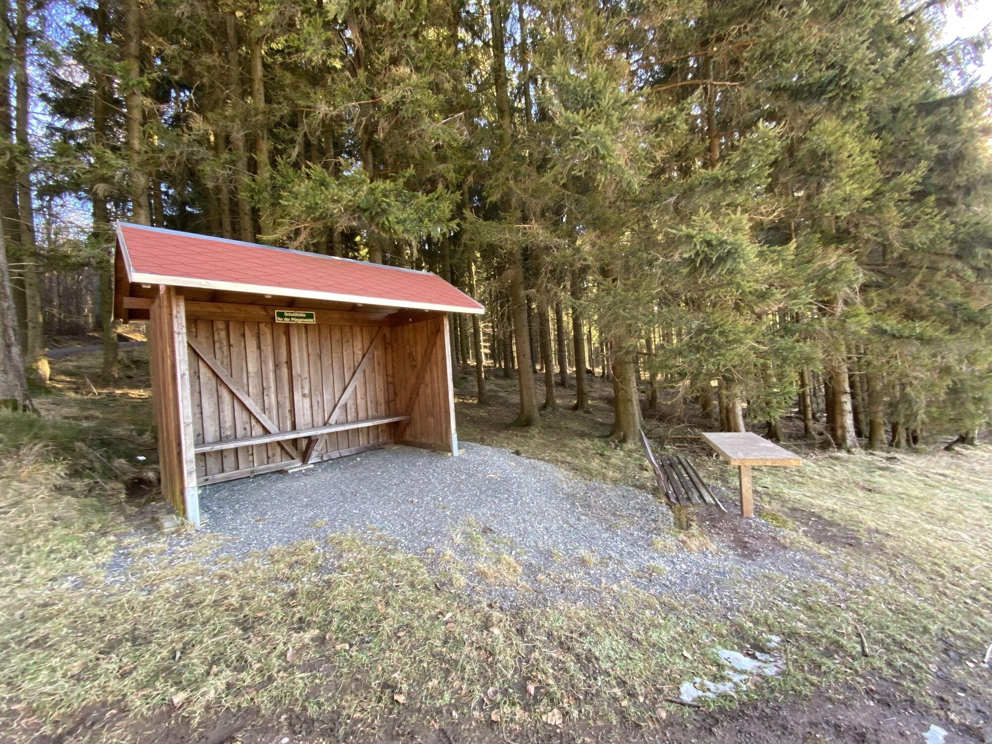
Following the edge of the forest, the path continues to the Pfingstweide. A hut invites you to rest. The view sweeps over the town and reveals the mountain ranges of the Rhön in the distance. The Kugliches Köpfchen is circled and the Nature Park path reaches the Alttal. Along the idyllic, rock-lined stream valley past the Hörberg spring, the path climbs up to the Rohquelle, whose water is said to be healing. At the WSV starter hut, there is a beautiful panorama of the Brotterode valley basin and the Inselsberg.
After a stretch through the forest, the Nature Park path meets the lift facility and the toboggan run at Gänsberg. The popular Hörner sled races are held here every year. The view over Brotterode towards the Inselsberg is unique.
Steeply downhill, the path leads to the shelter at Hohe Wiese with wide views of the Werra valley and the Hohe Rhön. The Nature Park path now leads down into the town, past the Haus des Gastes and climbs back up through meadows along a deciduous tree avenue to the starting point at the Nature Park gate Axdorf.


Bad Vilbeler Platz Brotterode - Alte Ruhlaer Straße (0.5km) - hiking parking lot at OA (0.9km) - toward enclosure past the shooting house to Axdorf (1.5km) - harvest path (2.5km) - Lower Beerberg (3.5km) - Pfingstweide (4.2km) - Kugliches Köpfchen (5km) - Alttal (6km) - Rohquelle (7.9km) - Wiebach (8km) - Gänsberg (9km) - Holzplatz - takeoff tower Inselsberg ski jump (9.8km) - Hohe Wiese / Protestant Family Recreation (10.5km) - Brotterode via ice stadium and local history room (11.5km) - back to starting point (12km)
Marked Blue 10
Sturdy footwear and rainwear are advantageous at the altitude.
Winter lasts longer in the mountains. Please be careful on icy and slippery sections of the path.
From the south via the A71 at the Meiningen Nord exit, continue on the B19 to Fambach and from there towards Brotterode-Trusetal.
Coming from the north, leave the A4 at the Walterhausen exit and go via the Inselsberg to Brotterode.
The route starts not far from the bus stop.
There are sufficient and free parking spaces available in Brotterode.
T1
The sight from the jumping table of the Inselsberg ski jump, reached at Seimberg, promises pure goosebumps - the highlight of the route. Visiting a ski jumping competition is a unique experience.
Uzyskaj wgląd
Zawsze na żywo z ponad 9 500 kamer internetowych. bergfex Jako użytkownik Pro, możesz teraz zobaczyć odpowiednie kamery internetowe dla wielu wycieczek w aplikacji wycieczki od. Pozwala to na bezpośredni podgląd aktualnych warunków.
Popularne wycieczki w okolicy
-
4,4
Circular hike "Old Tambach Dam", Tambach-D., Thuringian Forest
średniWędrówka 8,33 km -
4,5
Summit and panoramic route - Route 1 - Bad Tabarz
średniWędrówka 10,9 km -
3,8
Wanderung zum Spitterfall
średniWędrówka 14,6 km -
4,5
Circular hike - Legendary Hörselberge - Great Hörselberg near Eisenach - Thuringian Forest
średniWędrówka 10,6 km -
Tabarzer Vulkansteig
średniWędrówka 9,91 km -
4,8
Inselsberg tour - Tour 2 - Bad Tabarz
ciężkiWędrówka 15,1 km -
3,2
Von Friedrichroda zum großen Inselsberg
średniWędrówka 22,4 km -
4,5
Circular hiking trail - "Trusetal Landmark Route" - Thuringian Forest
światłoWędrówka 4,02 km -
3,5
Backofenloch circular route - route 6 - Bad Tabarz
średniWędrówka 6,94 km -
4,0
Circular route - Tanzbuche - Friedrichroda - Thuringian Forest
średniWędrówka 10,2 km
Wędrówki i tropienie


Nie przegap ofert i inspiracji na następne wakacje
Twój adres e-mail została dodana do listy mailingowej.





