


Circular route Geo-trail Zechstein Reef Pinsenberg - Thuringian Forest
The hike leads around several former underwater reefs. It starts either at the foot of the Ranis castle hill, which also represents a reef, or at the Krölpa-Ranis stop. From there, you hike along the reefs...
The hike leads around several former underwater reefs. It starts either at the foot of the Ranis castle hill, which also represents a reef, or at the Krölpa-Ranis stop. From there, you hike along the reefs of Devil's Pulpit, Pinsenberg, Buchenberg, and Hausberg.
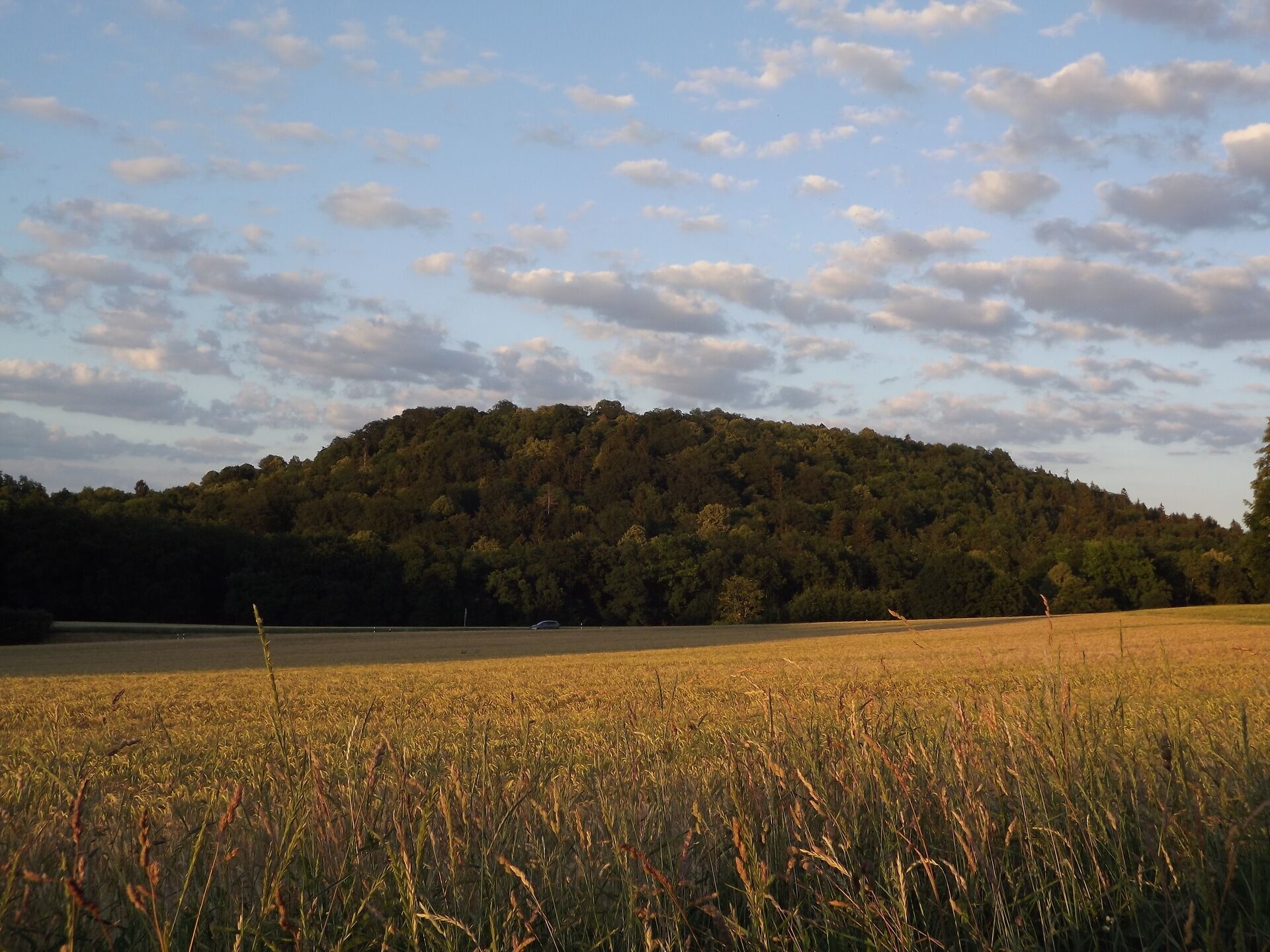
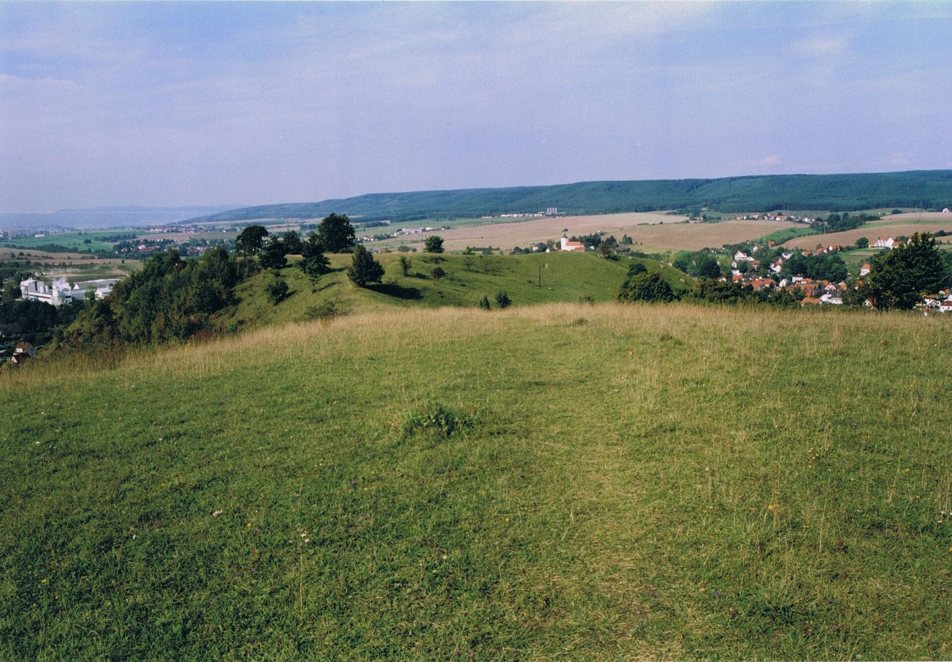
At the time of the Zechstein (Upper Perm, about 258 - 252 million years ago), this area was the coast of a sea. Ahead of this coast were reefs that grew in the warmer lagoon water from cyanobacteria and bryozoans. For the attentive observer, these reefs that existed millions of years ago are still visible in the landscape between Könitz (Schlossberg) and Neustadt an der Orla. They form distinct elevations, mountains, and cliffs made of light limestone conglomerate. Some are forested. Others have dry and semi-dry grasslands with a lime-loving plant community.
Pinsenberg and Buchenberg are therefore designated nature reserves.
Bats and other protected species live in the caves of the limestone rocks. The varied landscape and diverse fauna and flora of these former reefs create the charm of the Orla Valley in the Pößneck-Ranis-Krölpa area and beyond.
Along the adventure trail are two optional side paths that connect the hike on one hand with the Devil's Pulpit and Hertha Cave, and on the other hand with Castle Ranis and Ilsen Cave at the end of the route.

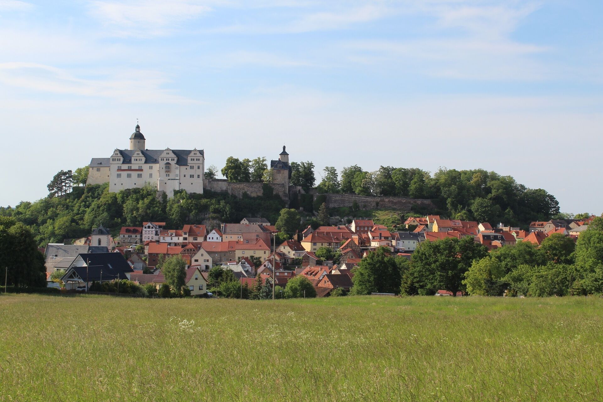
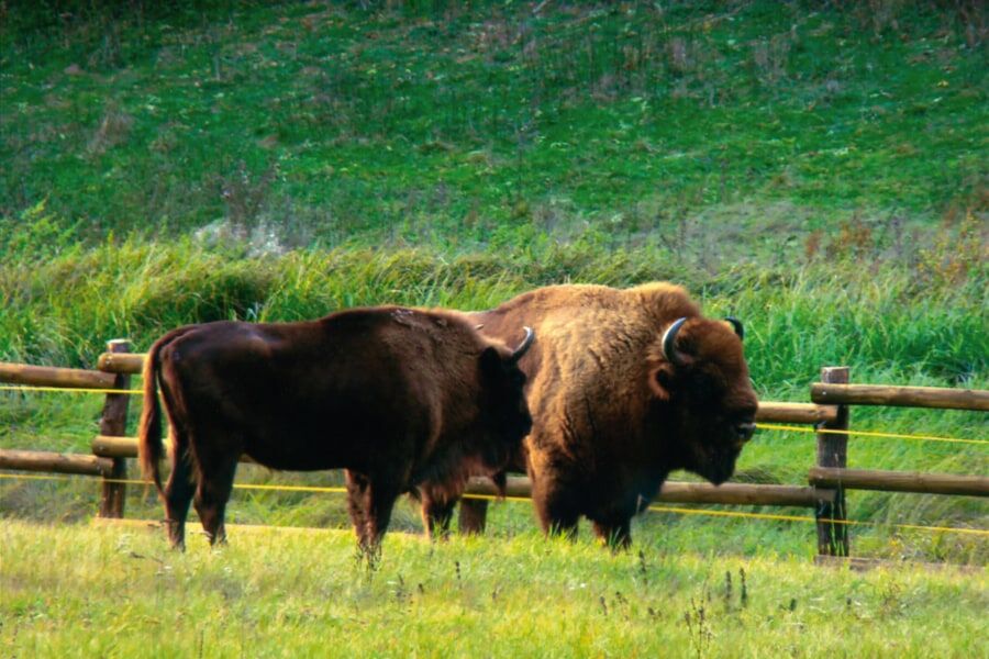
Parking lot Town and Castle Ranis - Wisent Open-Air Enclosure - (Devil's Pulpit - Hertha Cave) - Krölpa - Pinsenberg - Buchenberg "Green Classroom" - Hausberg - Castle district Brandenstein - Brandenstein Pond - Pfaffensteig - Parking lot Town and Castle Ranis
Tak
Tak
sturdy footwear
weatherproof clothing
drink supply
first aid kit
Note the typical dangers of the forest!
Walking is at your own risk!
We wish you a relaxing and exciting hike!
Coming from the A9 you can reach Krölpa or Ranis via exit 26 Triptis.
Continue on B281 past Neustadt an der Orla and Pößneck to Krölpa.
At the hiking start in Ranis, drive from Pößneck further on Raniser Straße to the destination.
Coming from the A4, take exit 53-Jena-Göschwitz and drive on B88 towards Kahla.
Then drive through Kahla to Zeutsch on L1107. On K204 via Hütten, Herschdorf, and Tannroda you arrive directly at the start in Krölpa or continue on L2367 to Ranis for the start of the circular hike.
Starting in Krölpa - by train to Krölpa-Ranis station (line RB22 or RE12) or bus (line SEV)
Starting in Ranis - by bus to the stop Ranis, Under the Castle (lines 965 or 966)
Tip: For planning your train trip, use the DB Navigator of Deutsche Bahn to the destination station Krölpa-Ranis (DB Navigator).
At both starting points, there are sufficient parking spaces for cars.
The path is well suited for families with children, but only partially paved and therefore only limitedly usable for strollers or wheelchairs.
Further information can be found at:
Geopark Schieferland - Geo-adventure trail Zechstein Reef Pinsenberg
A clockwise hike is recommended.
Complementing the hike, a visit to the permanent exhibition "Geology and Mining of the Orla Valley" and "View into the Ice Age" at the Museum Castle Ranis is suggested.
The Café Ilse in Ranis is directly on the route and invites you to linger with homemade ice cream and delicious cakes.
Alternatively, the "Snack Ranis" at the castle parking lot can be used for a refreshment.
Popularne wycieczki w okolicy
-
4,9
Circular hiking trail - H5 "The Water Route" - Thuringian Forest
średniWędrówka 6,58 km -
4,7
Circular hiking route - H3 "The Bird's Eye View" - Thuringian Forest
średniWędrówka 8,78 km -
4,0
Zur Jagdanlage Rieseneck bei Hummelshain
światłoWędrówka 5,21 km -
4,0
Circular route - "Wichtelweg" - Wilhelmsdorf
światłoTrasa tematyczna 2 km -
5,0
Hohenwarte Reservoir Way - Section 2 - Camping Wilhelmsdorf Portenschmiede → Ziegenrück
ciężkiWędrówka 18,2 km -
4,0
Von Ziegenrück zur Fernsicht
średniWędrówka 5,50 km -
5,0
Urwaldpfad Leutenberg - Thuringian Urwaldpfade
średniWędrówka 6,82 km -
5,0
Zwischen Leubengrund und Hummelshain
światłoWędrówka 9,28 km -
5,0
Circular hiking trail - Saale, Wisenta Valley and Plothengrund - Ziegenrück
średniWędrówka 20,6 km -
5,0
Kulm route
średniWędrówka 9,39 km
Wędrówki i tropienie


Nie przegap ofert i inspiracji na następne wakacje
Twój adres e-mail została dodana do listy mailingowej.