


Circular hiking trail - "Gerberstein" - Ruhla - Thuringian Forest
This hike takes you high up to the third highest elevation of the Wartburg district – the Gerberstein. The granite block summit is not the highest mountain in our district, but it is the first historically...
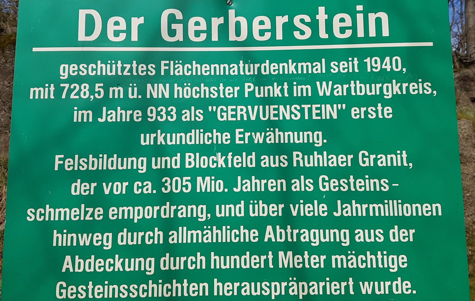
This hike takes you high up to the third highest elevation of the Wartburg district – the Gerberstein. The granite block summit is not the highest mountain in our district, but it is the first historically documented mountain in the entire Thuringian Forest area and has been a natural monument since 1940. Already in the year 933, the name "Gervuenestein" appears in a boundary description of the Mark Breitungen. And today, over 1,000 years later, we take you on a hike to this historically significant place, as the name of the stone is derived from the Germanic spear god Gerwin. The start and end point of the circular route is at the "Ruhla ski hut." Alternative starting points are the car park of the forest tavern "Dreiherrnstein" or the hiking car park "Imbiss zur Wallfahrt am Rennsteig." You should not miss the detour to the Glasbach deserted village. This is the cradle of the mining town of Ruhla; once a chapel stood here, today only ruins can be seen.

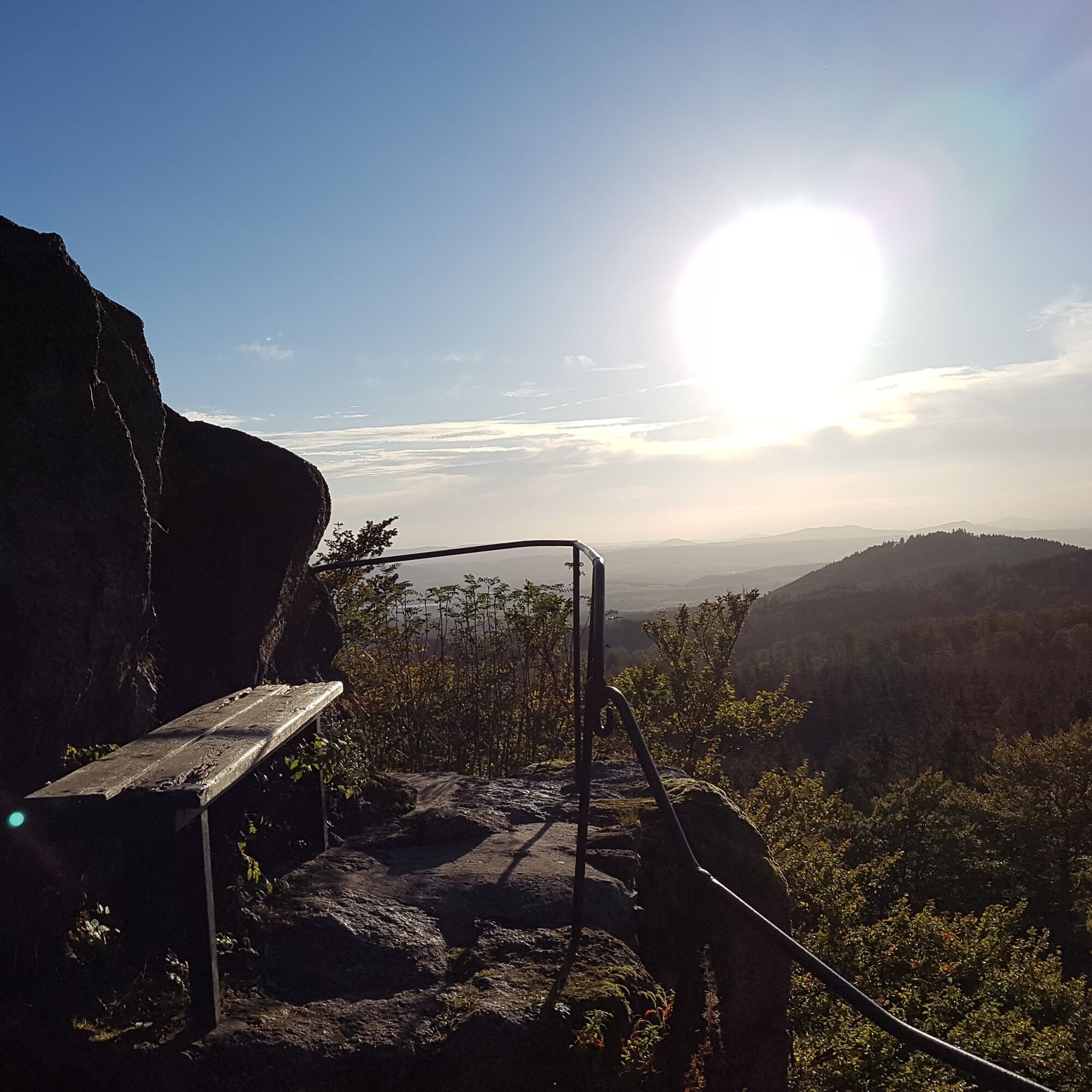
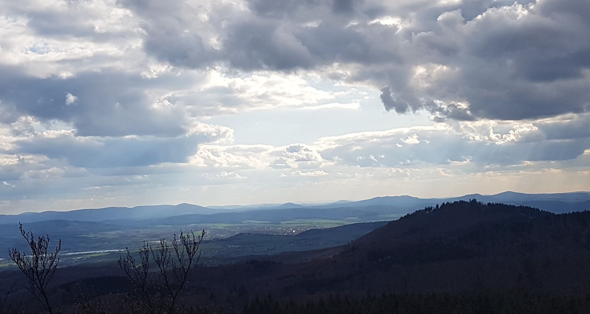
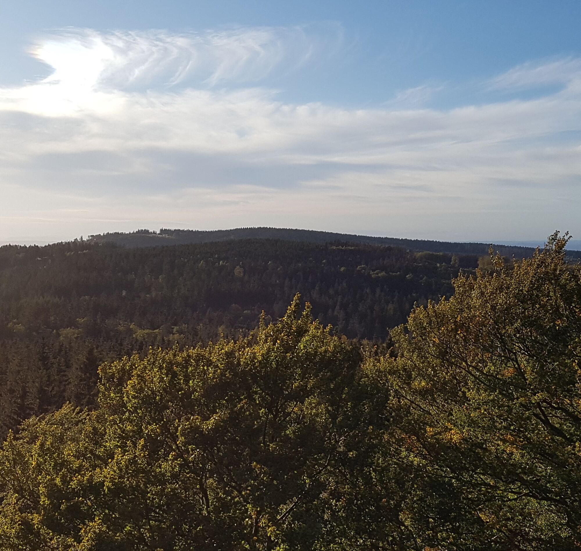
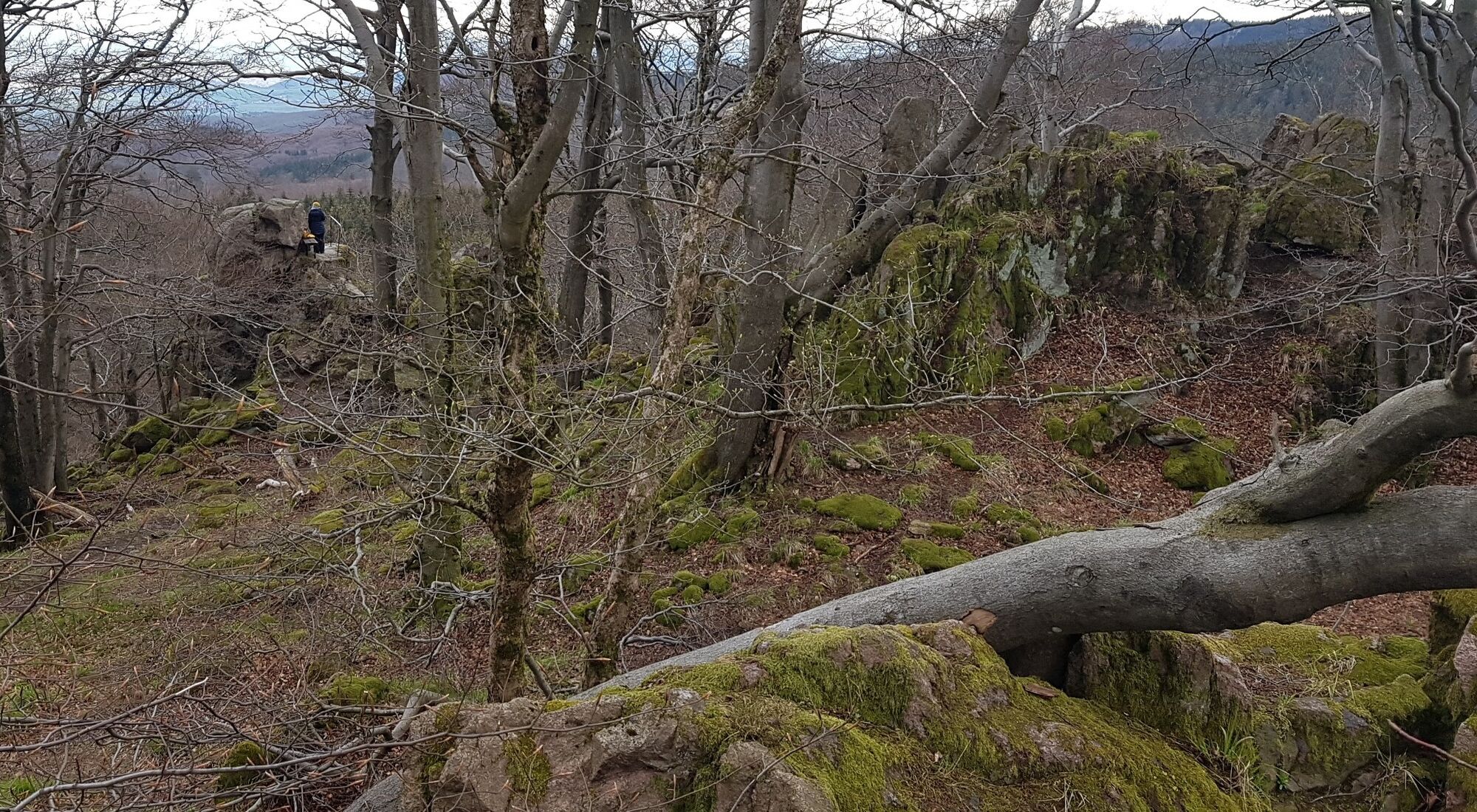
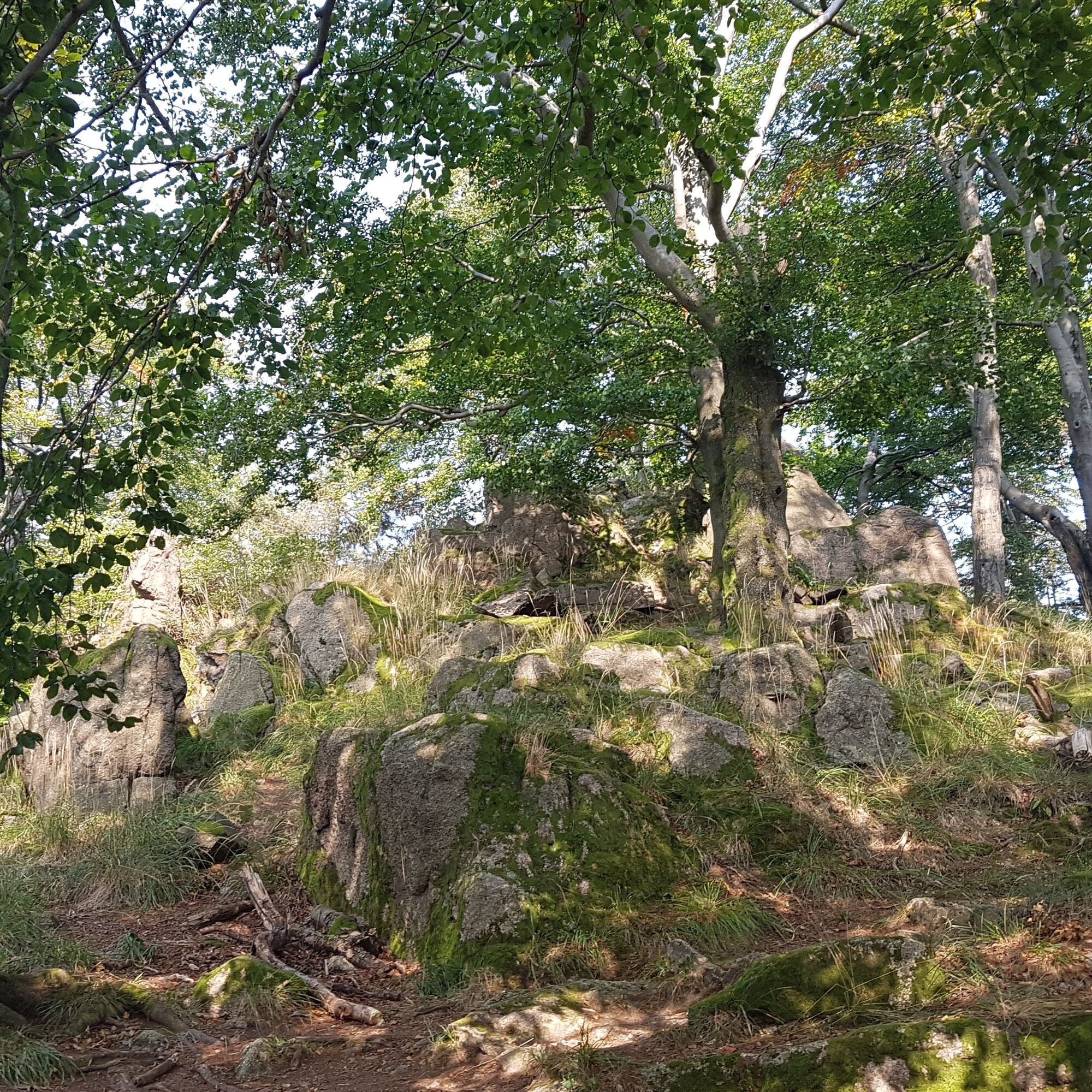
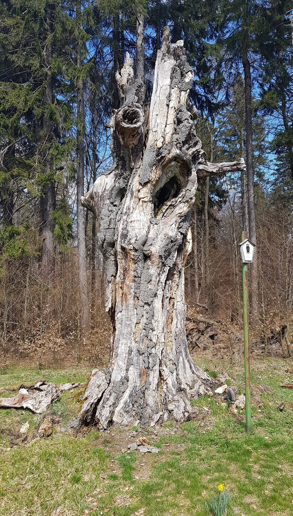
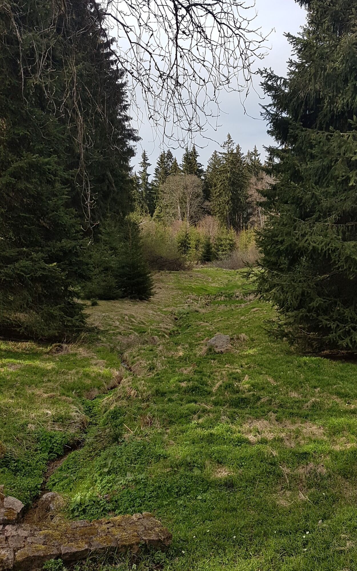
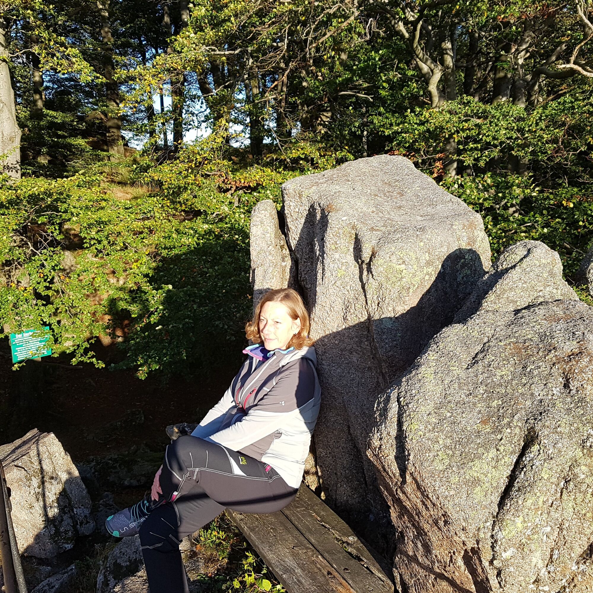
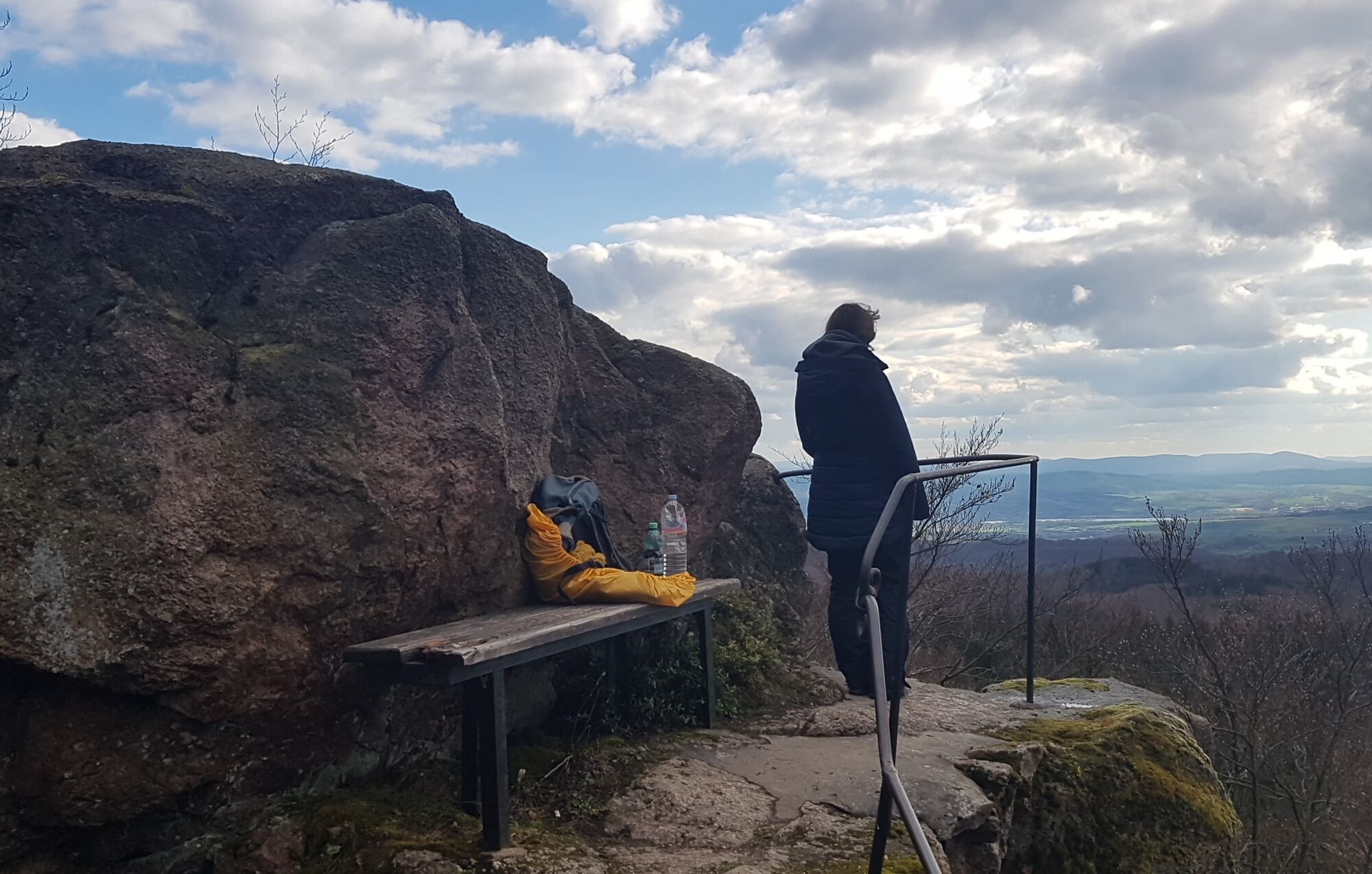
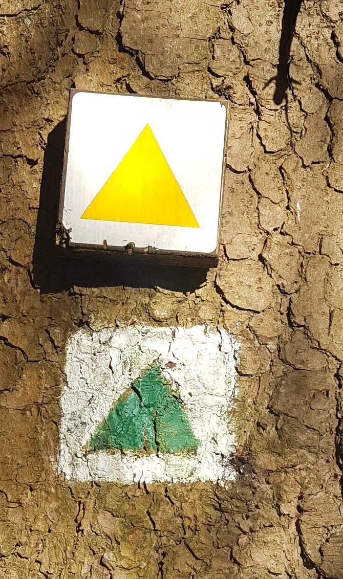
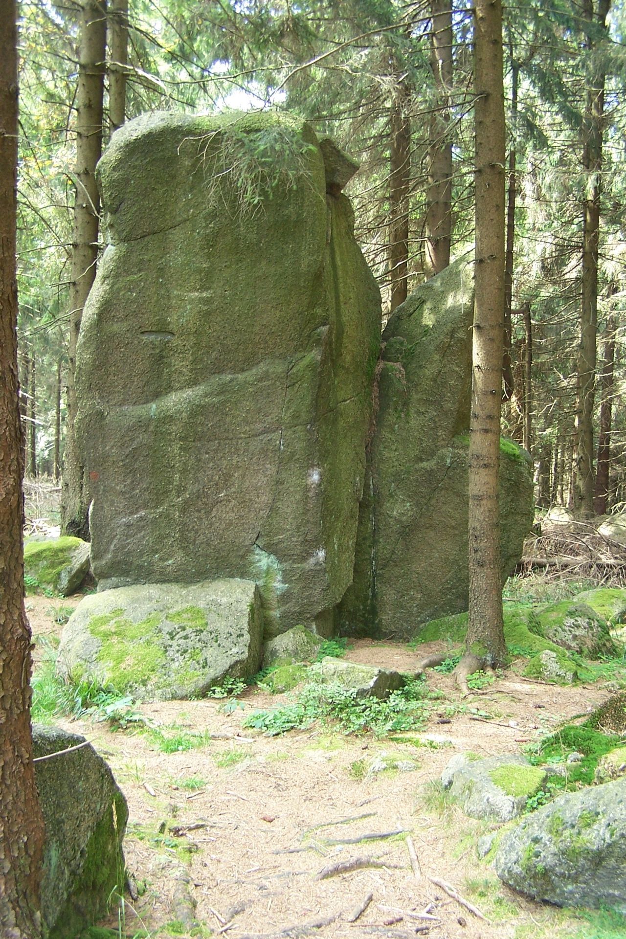
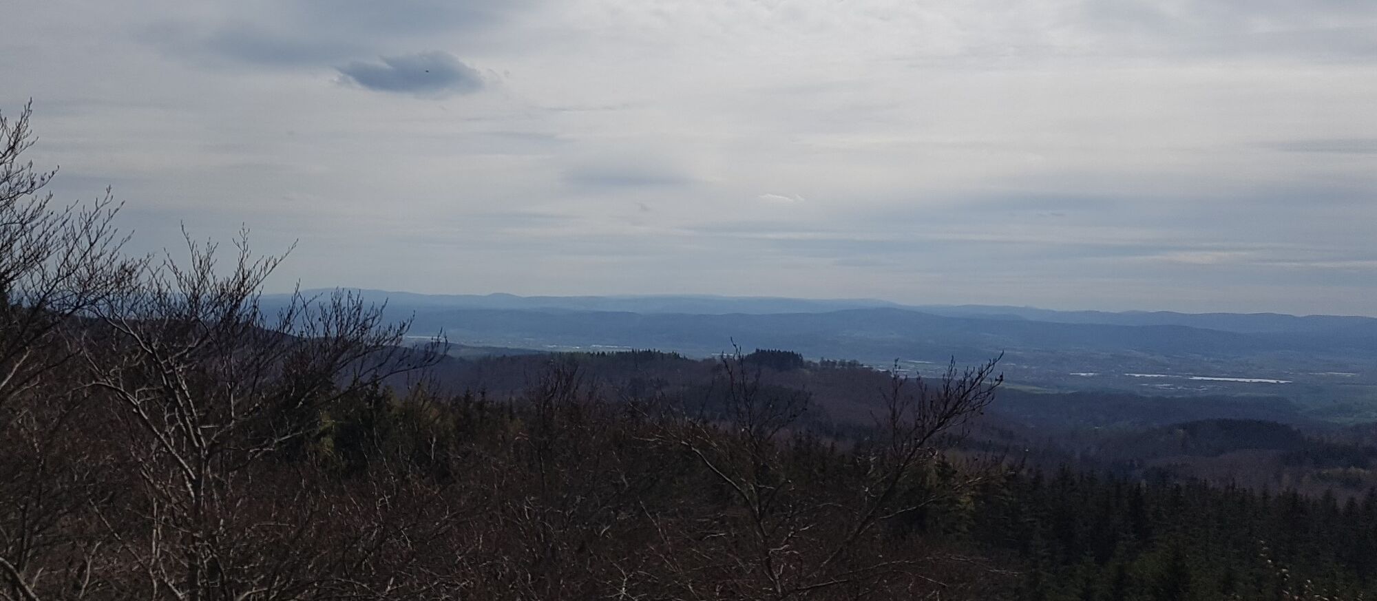
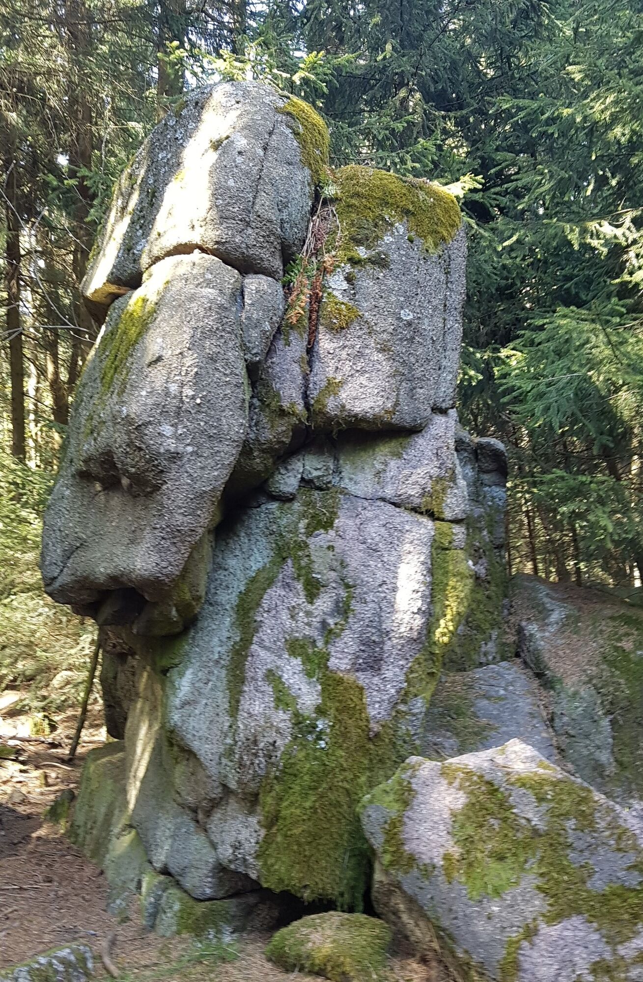
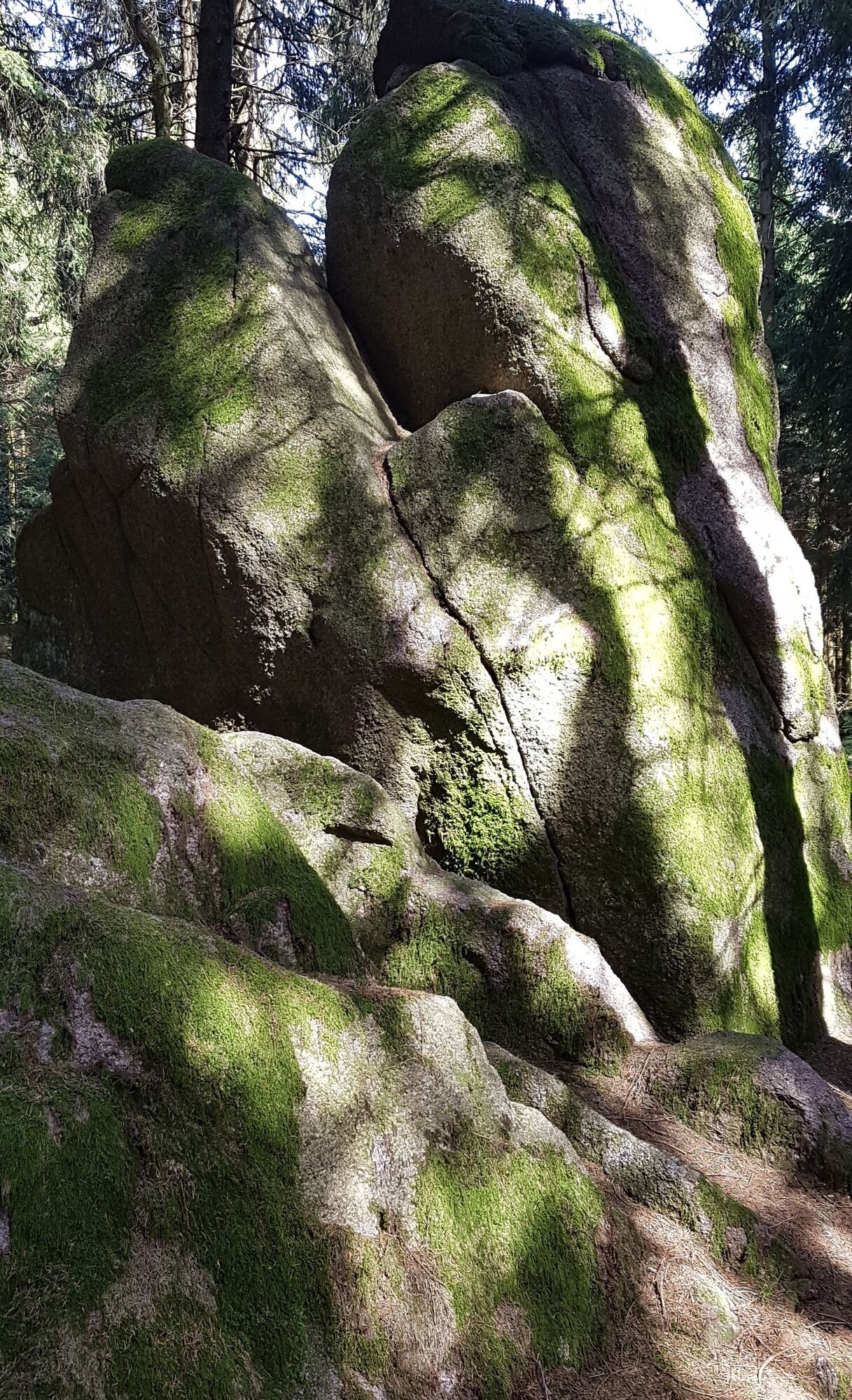
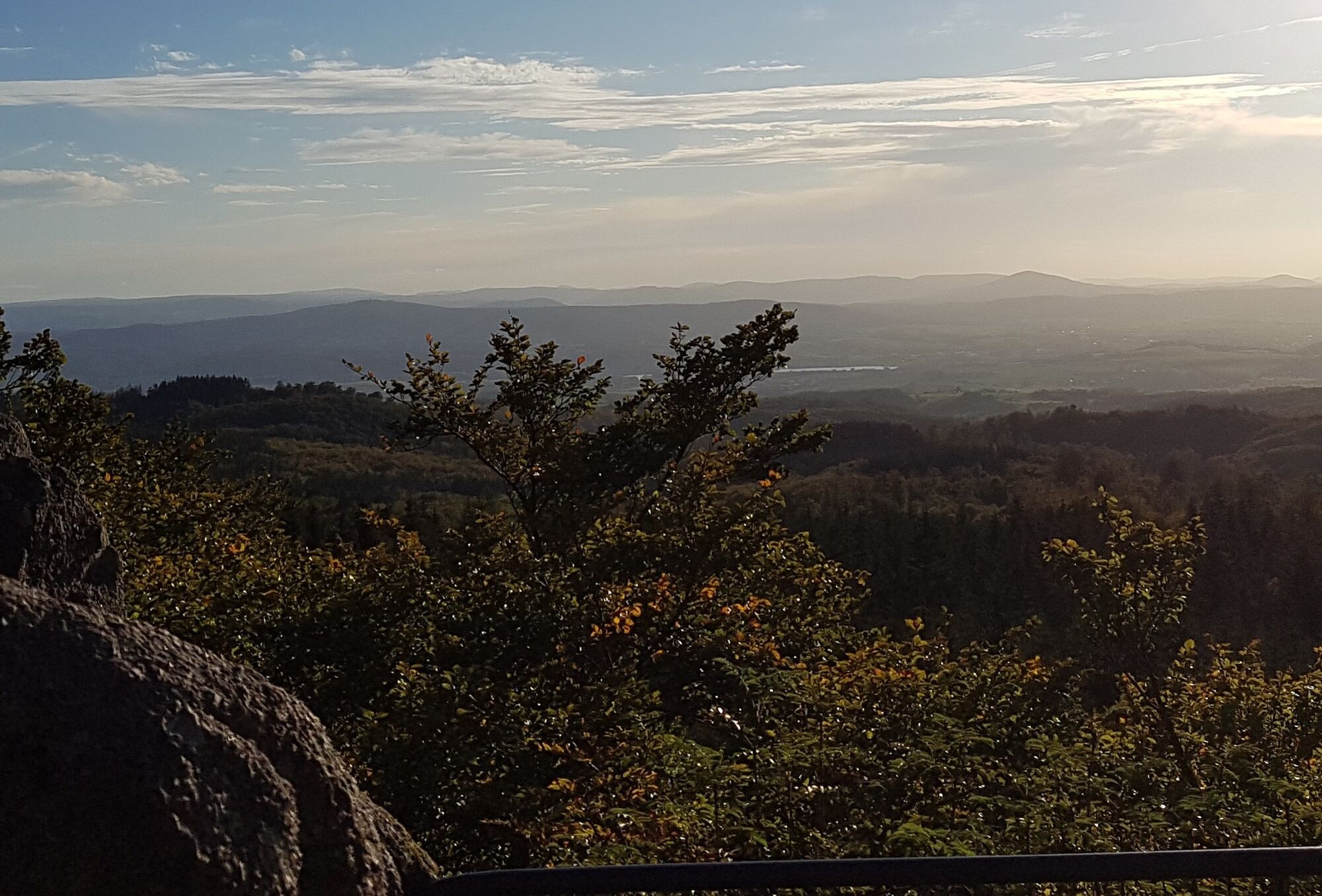
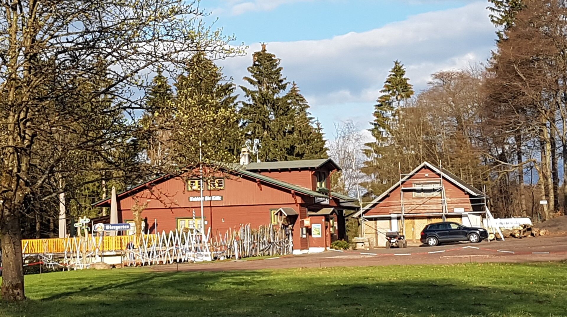
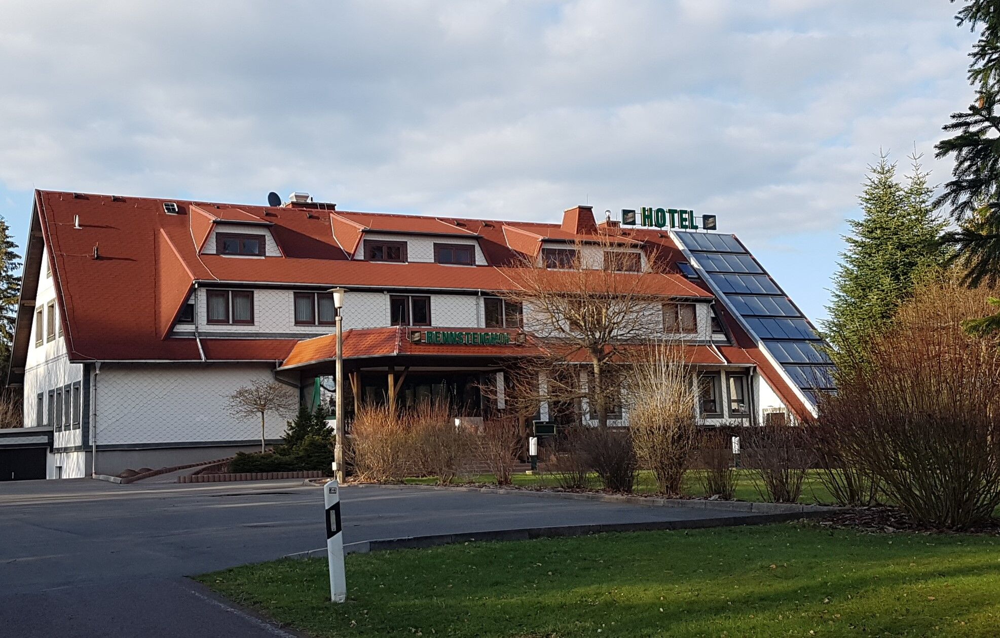
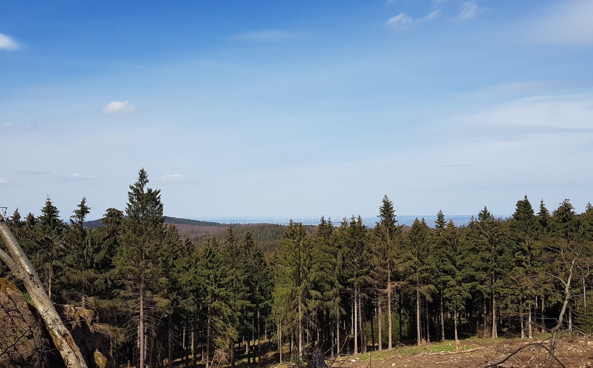
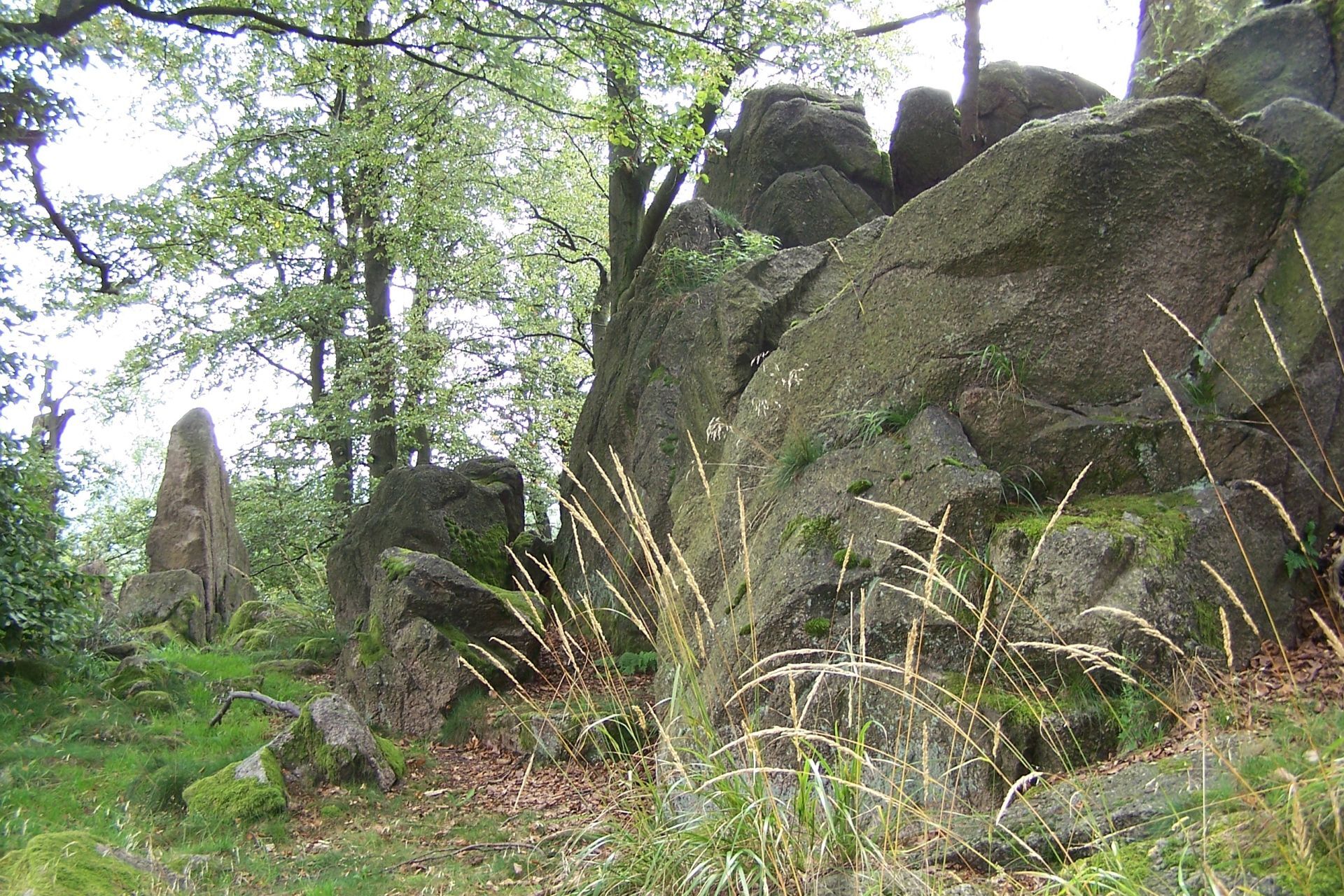
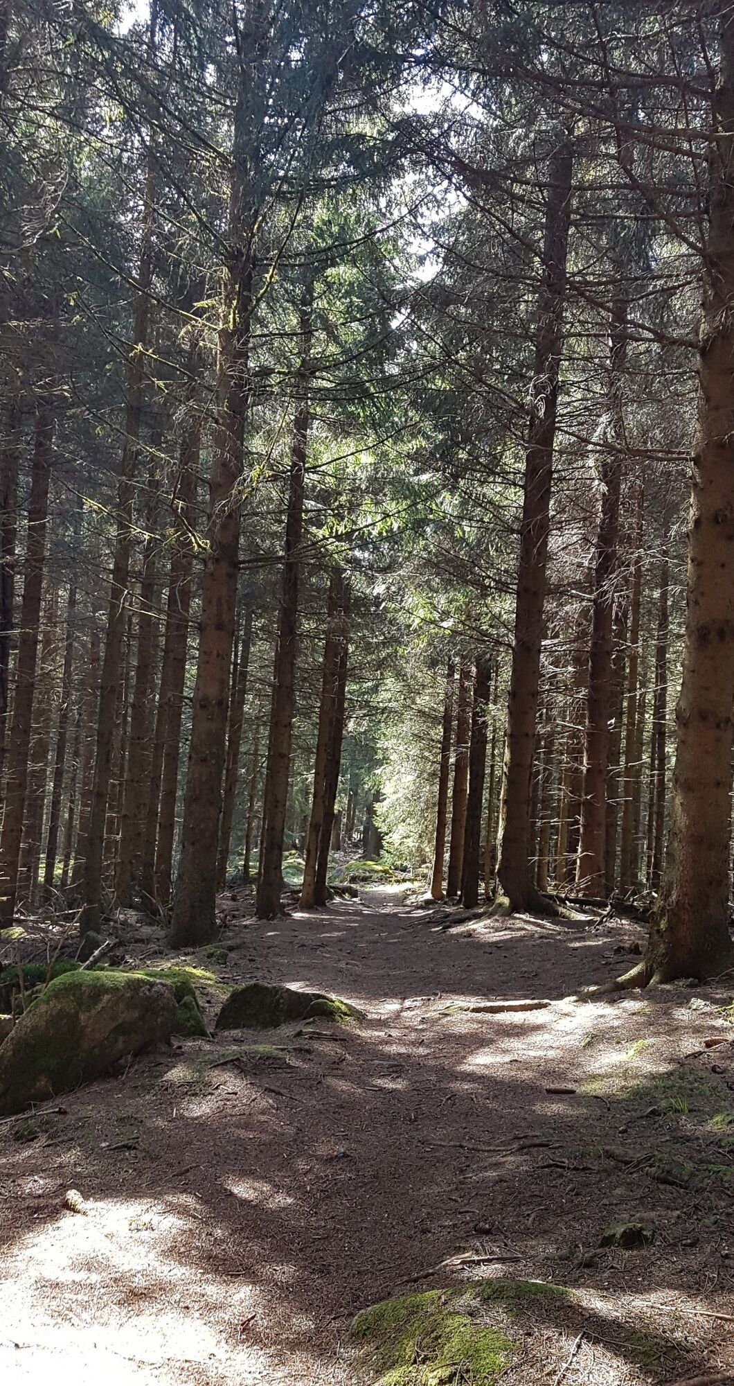
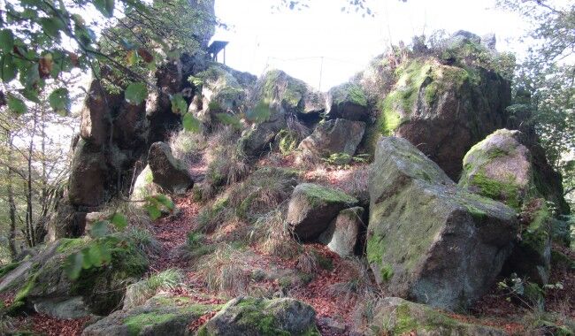
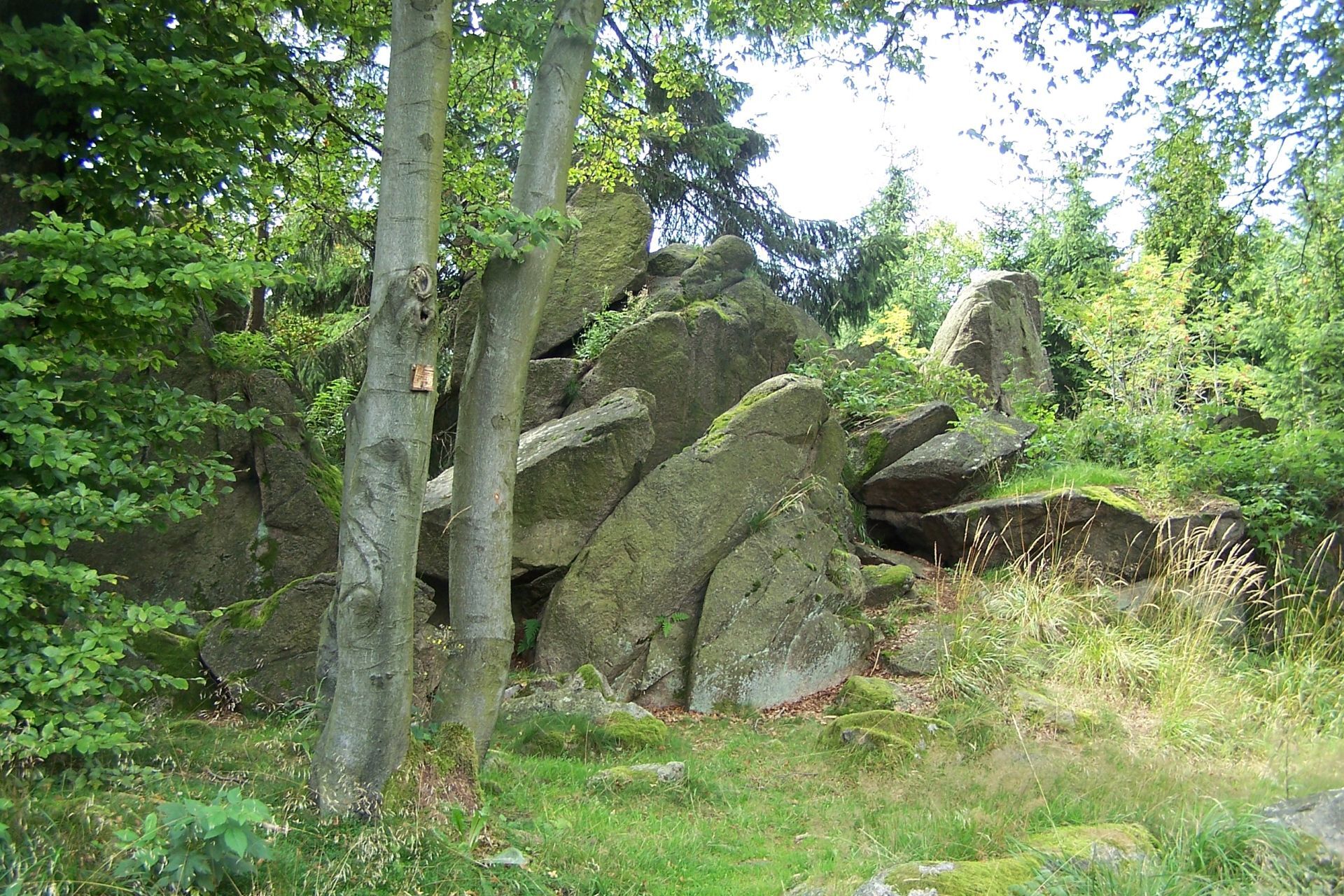
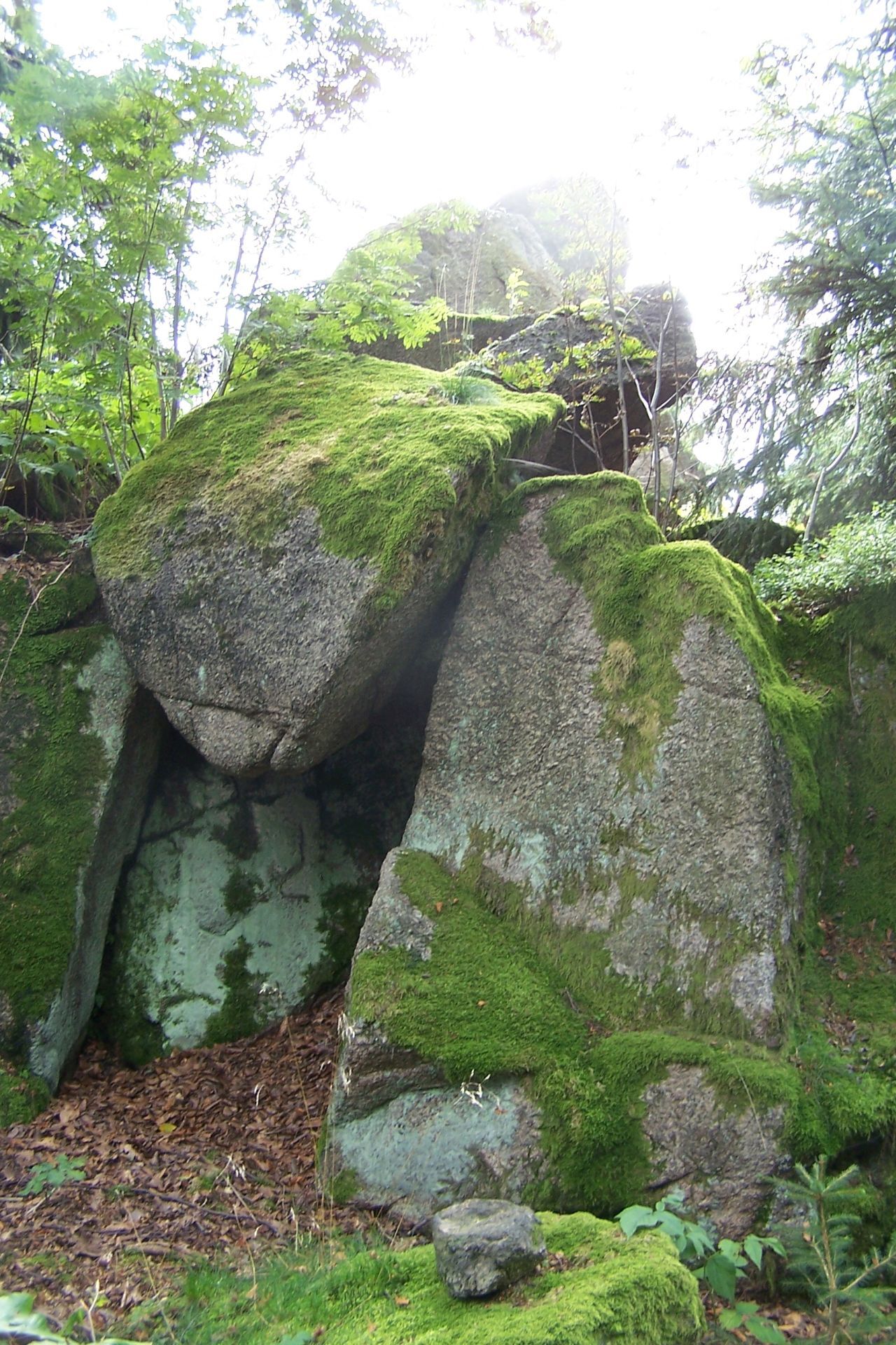
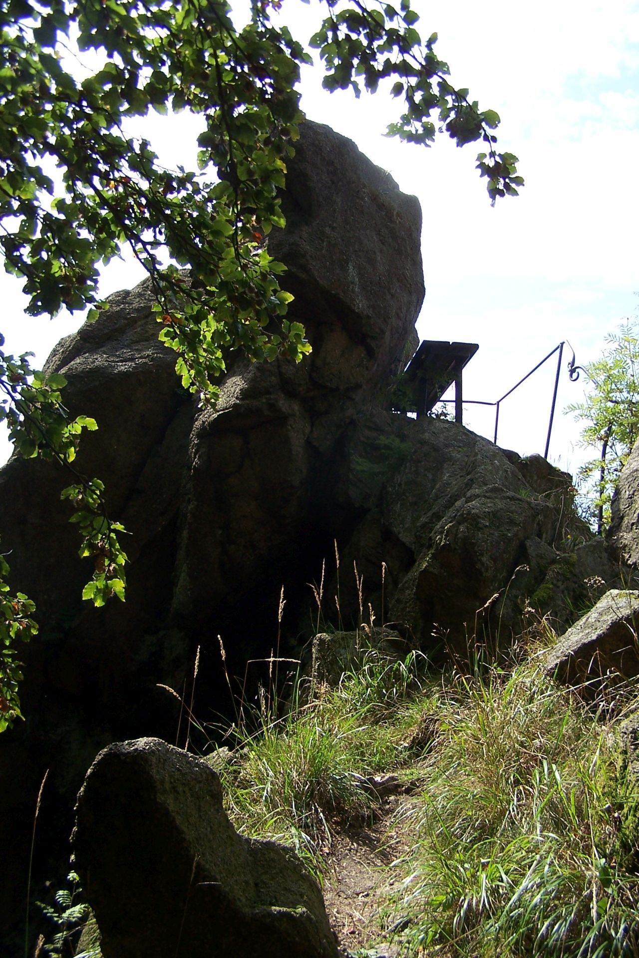
The start point of the approximately 5.5-kilometer route is the Ruhla ski hut. From there, follow the yellow triangle marking along the Gastrasse to the district boundary. Crossing the road, you are now on the Brotteröder Weg heading towards Dreiherrnstein. After about one kilometer, turn right towards Gerberstein. As an extension of the tour, it is possible to make a detour to the "Waldschänke Dreiherrnstein". For this purpose, follow the Brotteröder Weg for another kilometer. Then return to the Gerberstein turnoff. Along the way, there are some remarkable boulders that make very nice photo motifs. After a few meters, you reach the granite rock formation. Several steps lead up to the viewing platform. Once there, you can let your gaze wander over the Werra valley and see as far as the Rhön. Presumably, a castle once stood on the Gerberstein, although no remnants are visible today. After descending from the Gerberstein, cross the road again. After about 100 meters, the Glasbach deserted village is on the left. Here, the remains of the former "Wallfahrt" chapel, which stood here in the Middle Ages, can still be seen. After about 400 m, you reach the snack bar "Zur Wallfahrt am Rennsteig." Here is also a hiking car park, which is an ideal starting point for numerous hikes on the Rennsteig. Locals also call this location "Schillerbuche", as there is an old beech tree opposite the car park. Cross the road again to return to the Gastrasse. Halfway along, you can make a detour to the "Erbstromquelle." Take a moment to linger before starting the return to the "Ruhla ski hut." Once back at the starting point, you can stop for refreshment at the Hotel "Rennsteighof" or the hiking restaurant "Ruhla ski hut." You can also visit the falconry "Falknerei am Rennsteig" here and attend a flight show.
Tak
Tak
Sturdy footwear
Binoculars
Camera
Coming from the direction of Eisenach, pass through the town of Ruhla and drive towards Bad Liebenstein (on L2119). At the forest intersection (large stone in the middle of the intersection, called Glasbachstein), turn left towards Brotterode/Winterstein (on L1027). The "Imbiss zur Wallfahrt am Rennsteig" car park is located a few meters on the right. Follow the road towards Winterstein (L1027) for approx. 2 km to the Ruhla ski hut. The car park is on the left.
Coming from the direction of Bad Liebenstein, follow the signs to Ruhla (on L1027) and at the forest intersection (large stone in the middle of the intersection, called Glasbachstein), turn right towards Brotterode/Winterstein (on L1027). The "Imbiss zur Wallfahrt am Rennsteig" car park is located a few meters on the right. Follow the road towards Winterstein (L1027) for approx. 2 km to the Ruhla ski hut. The car park is on the left.
Bus lines 140 or 142 to the Glasbach/Wallfahrt am Rennsteig stop. Timetables for the bus lines can be found at: Bus 140 Eisenach-Seebach-Ruhla-Bad Liebenstein and Bus 142 Eisenach-Ruhla-Brotterode-kl. Inselsberg-Tabarz If you travel by public transport, it is recommended to start and end the hike at Glasbach/Wallfahrt am Rennsteig.
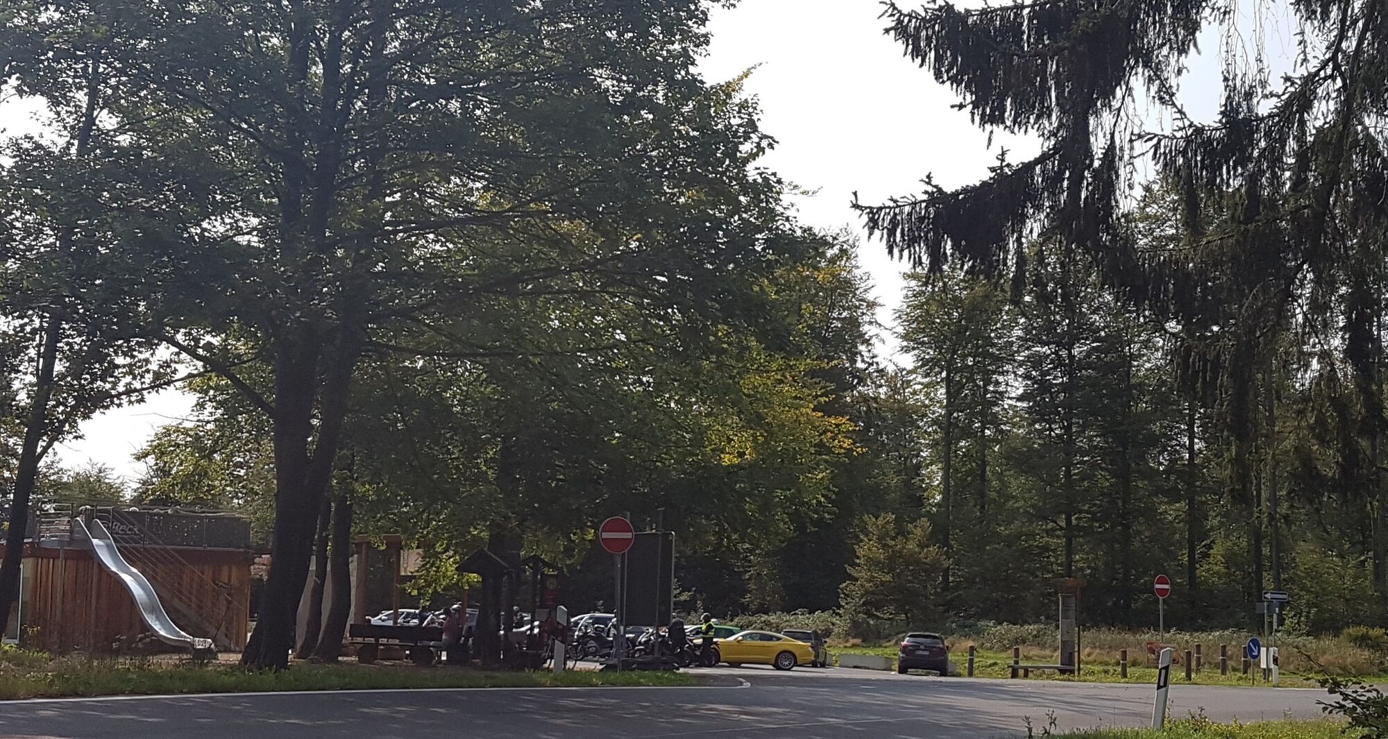
At the Ruhla ski hut (approx. 20 cars). Alternatively, you can park at the "Imbiss zur Wallfahrt am Rennsteig" hiking car park (paid – approx. 50 cars) or at the forest tavern "Dreiherrnstein" (free – approx. 15 cars).
Ruhla – the mining town in the Thuringian Forest
Tourist Information Ruhla
Neuer Markt 1
99842 Ruhla
036929 89013
tourist@ruhla.de
The numerous boulders along the way to Gerberstein offer a beautiful photo motif. A visit to the falconry is worthwhile.
Popularne wycieczki w okolicy
- 5,0
EA1 - Circular route - Gorge tour near Eisenach - Thuringian Forest
średniWędrówka 9,68 km - 4,5
Summit and panoramic route - Route 1 - Bad Tabarz
średniWędrówka 10,9 km - 4,7
IVV PW + GTW "In Luther's footsteps - Luther, dragons, landgraves, rose miracle..."
średniWędrówka 15,8 km - 3,7
EA2 - circular hiking route - "The Beauties of Eisenach" - Thuringian Forest
średniWędrówka 9,96 km - 3,8
Wanderung zum Spitterfall
średniWędrówka 14,6 km - 5,0
Wartburg und Drachenschlucht
średniWędrówka 15,1 km - 4,8
Hike - "Rennsteig-Leiter Eisenach" Thuringian Forest
średniWędrówka 3,58 km - 5,0
Trasa okrężna 3 - Mariental/Smoczy Wąwóz/Grotta Elfów
średniWędrówka 3,54 km - 4,5
Circular hike - Legendary Hörselberge - Great Hörselberg near Eisenach - Thuringian Forest
średniWędrówka 10,6 km Tabarzer Vulkansteig
średniWędrówka 9,91 km
Wędrówki i tropienie


Nie przegap ofert i inspiracji na następne wakacje
Twój adres e-mail została dodana do listy mailingowej.