


Circular hiking trail - "Mountain villages & wide views" - Thuringian Forest
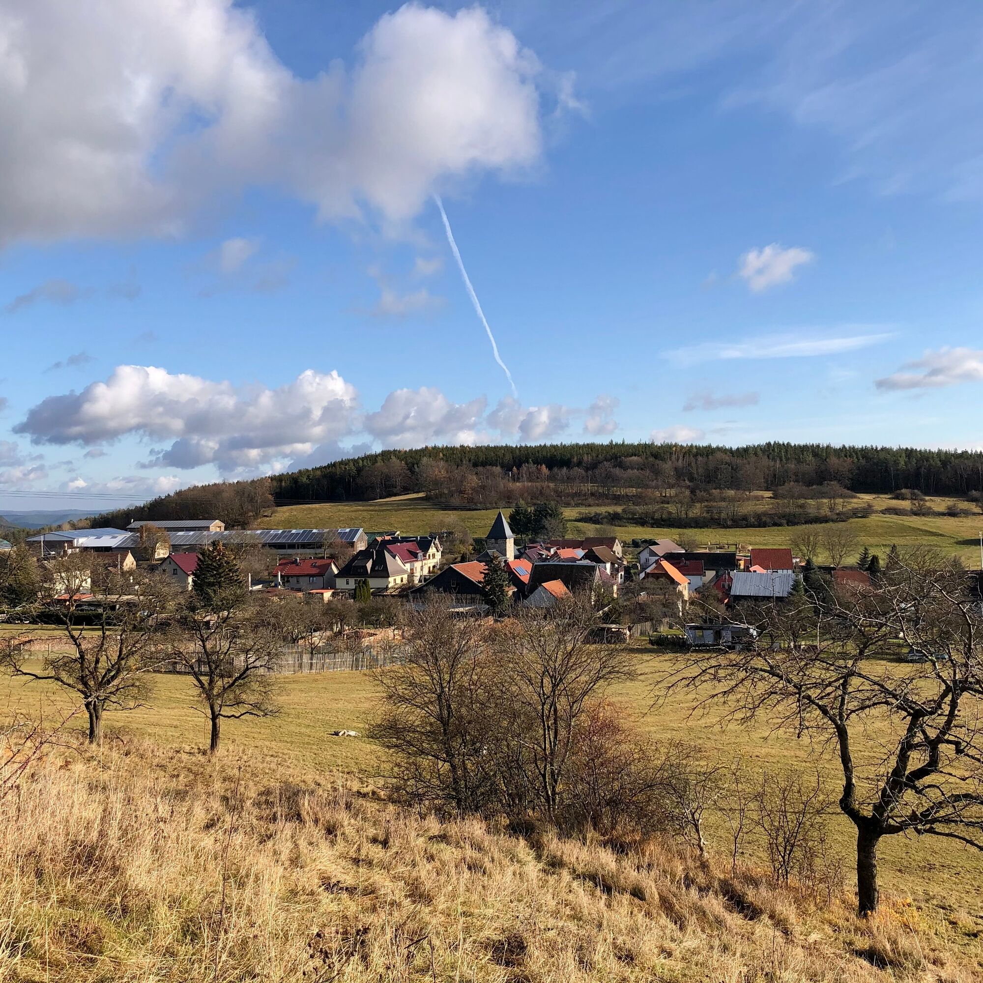
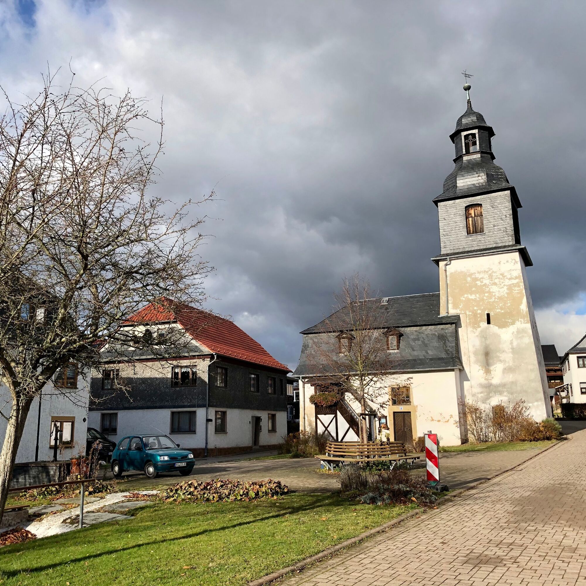
On this route you get to know the villages Böhlscheiben, Cordobang and Watzdorf, which today are districts of Bad Blankenburg. Watzdorf is home to one of the oldest breweries in Germany. Since 1411, fine...
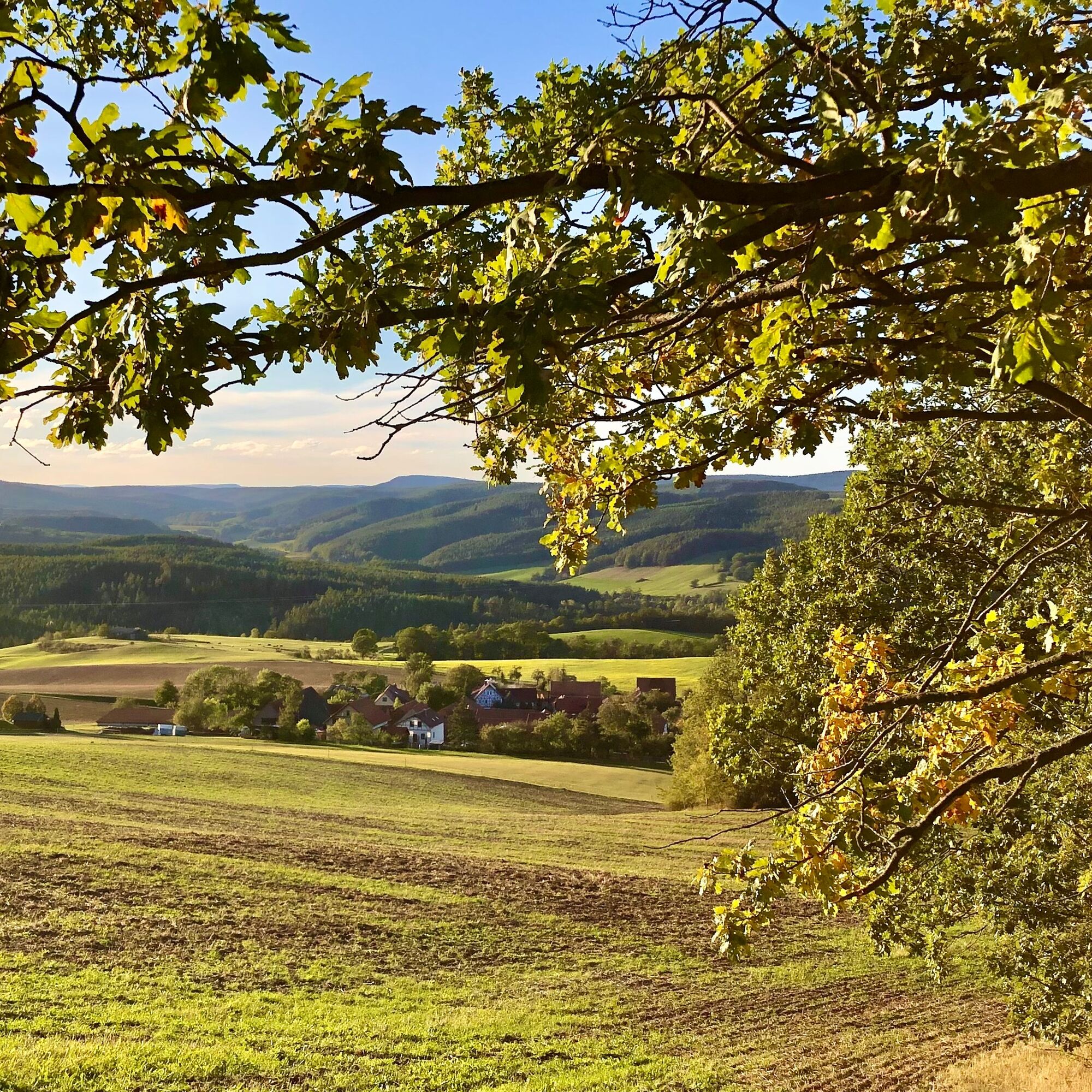
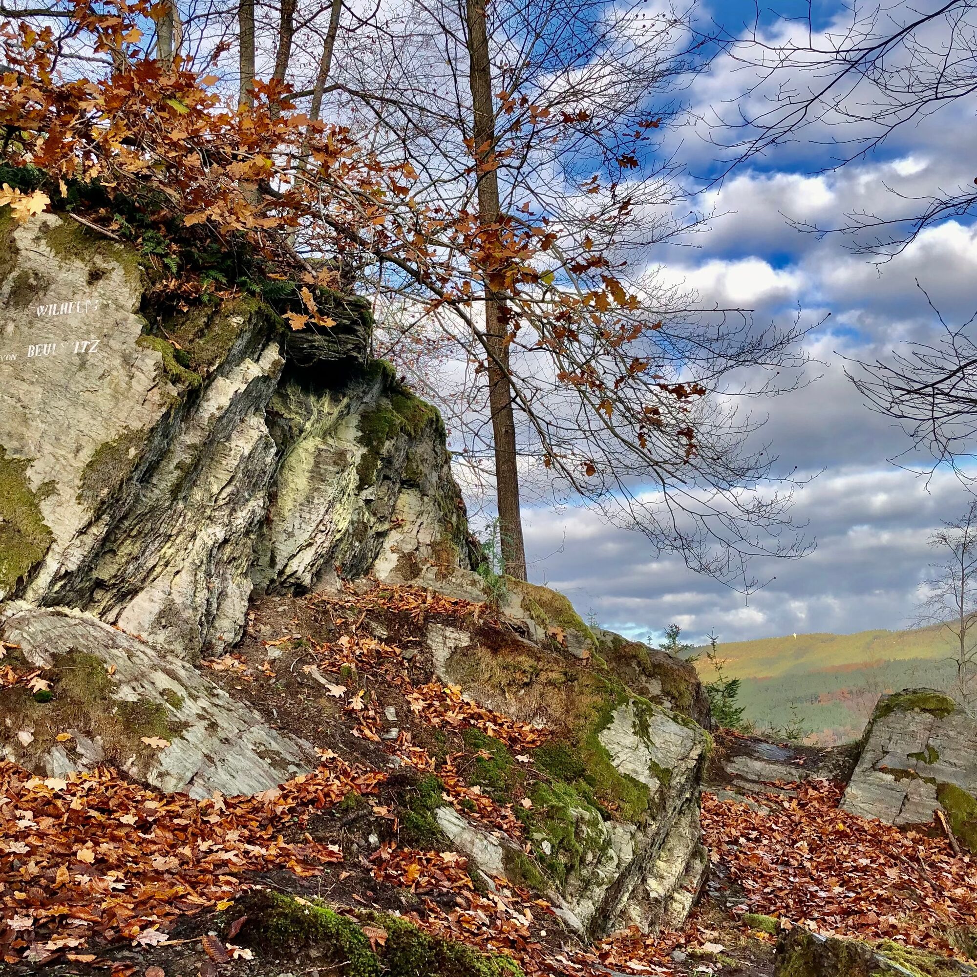
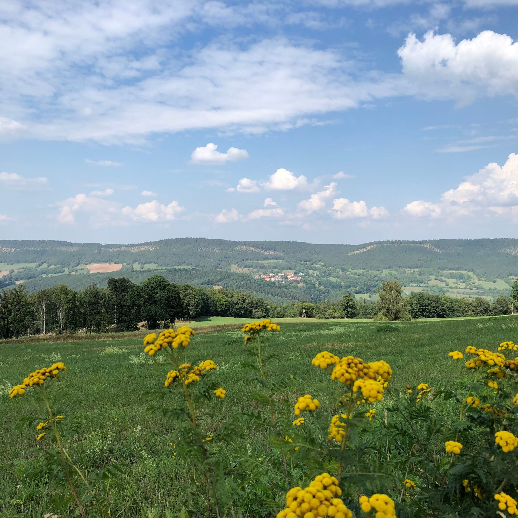
On this route you get to know the villages Böhlscheiben, Cordobang and Watzdorf, which today are districts of Bad Blankenburg. Watzdorf is home to one of the oldest breweries in Germany. Since 1411, fine beers have been brewed here. Historically, there are two special features right at the start of the route: Beulwitzfelsen and the nearby Klingenaussicht. Both were popular excursion destinations in the 19th and early 20th centuries. Overgrown and forgotten for many years, they have been clear again since Storm "Fabienne" in September 2018. The path from there towards Böhlscheiben was also cleared by volunteers according to the old route and model.

Route description:
Griesbachstraße car park - hollow path towards Griesbachfelsen up to Klingenaussicht junction - Beulwitzfelsen - Klingenaussicht - Am Aschbach - Böhlscheiben - Schöne Aussicht junction - towards Ebene - Cordobang - shelter Halbe Welt - shelter Windschlösschen - Badestube - in front of Henkerskuppe - Kirchacker - Watzdorf - Axtwiese - Am Anger - An der Flecke - Griesbachstraße car park
Note: The path from Klingenaussicht towards Böhlscheiben is unfortunately no longer found on most hiking maps. Follow the path from Klingenaussicht uphill to the end. Then always turn left along the edge of the forest until you reach the path. Once on the path, turn right towards Böhlscheiben.
Tak
Sturdy footwear
Rainwear
First aid kit
GPS device / or smartphone
Beverages
Always stay on the designated hiking trails and be aware of typical forest hazards.
Coming from the A71 take exit 14b (Stadtilm) and then continue on the B90n towards Rudolstadt. In Rudolstadt change to the B85 / B88 and drive south towards Saalfeld / Bad Blankenburg.
You can reach Bad Blankenburg comfortably by trains of the Erfurt Railway. Simply use this link for travel planning:
Arrival at Bad Blankenburg in the DB travel planner
Griesbachstraße car park (Google NAV point)
Tourist and Service Center
(Main entrance Stadthalle)
Bahnhofstr. 23 | 07422 Bad Blankenburg
Tel. 03 67 41 - 26 67
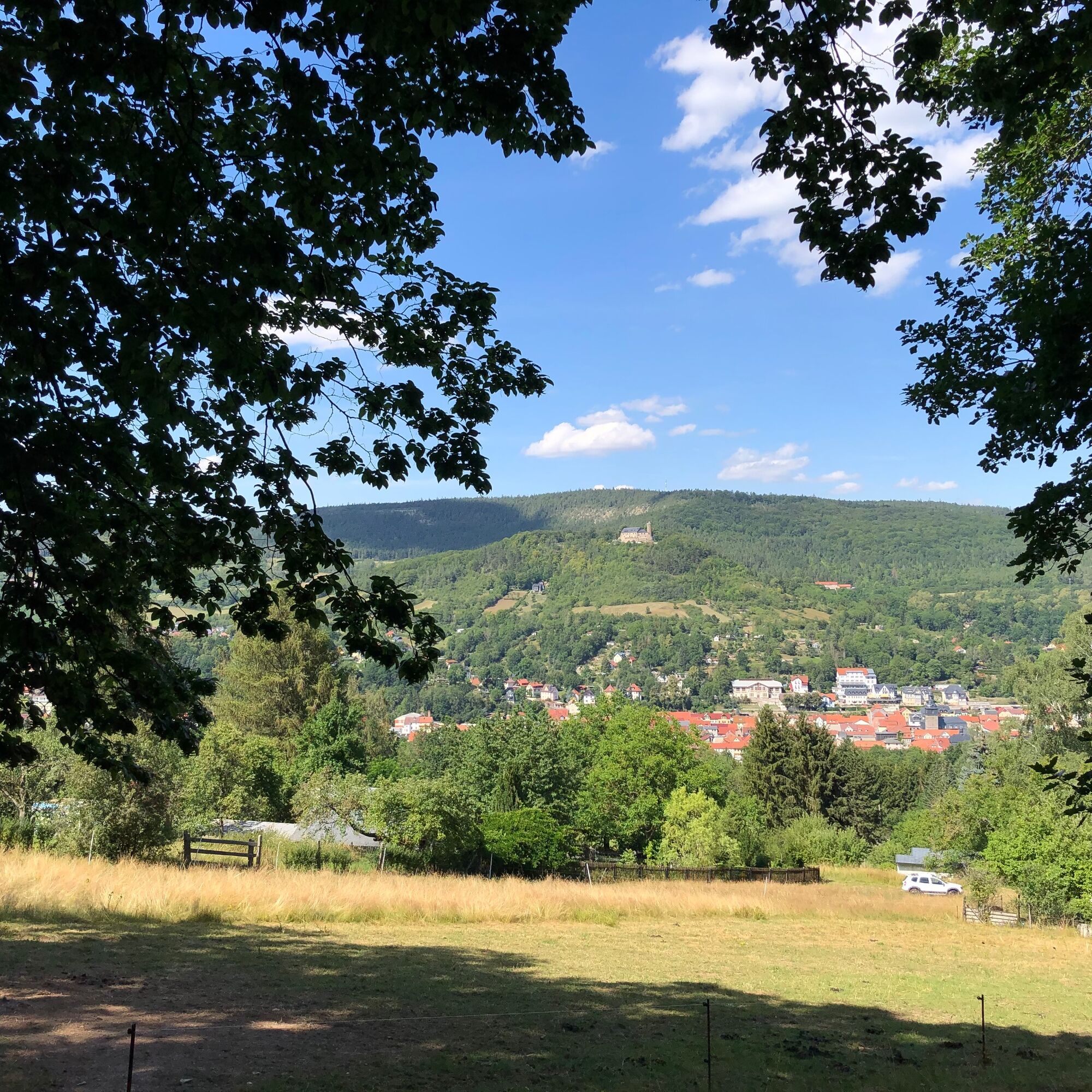
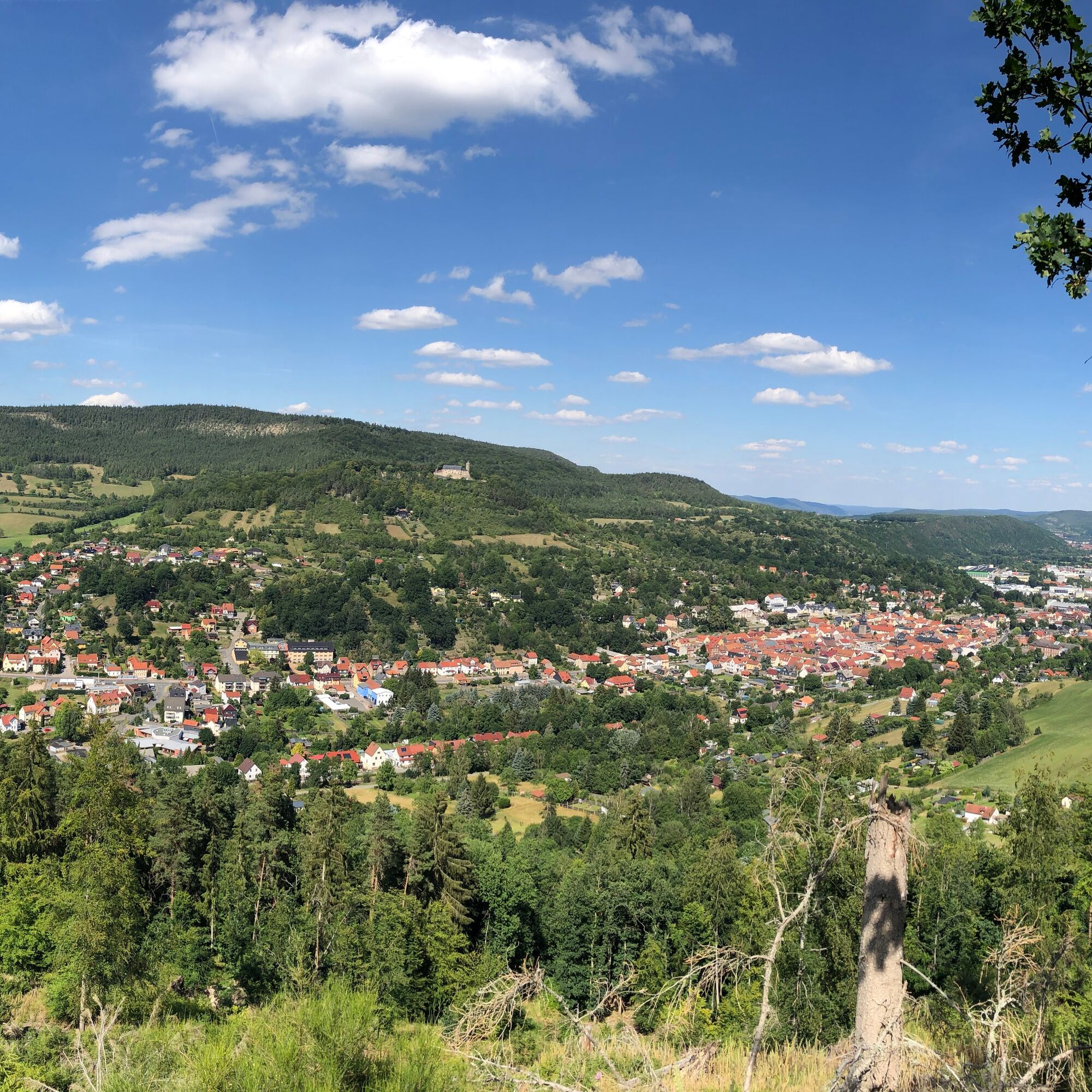
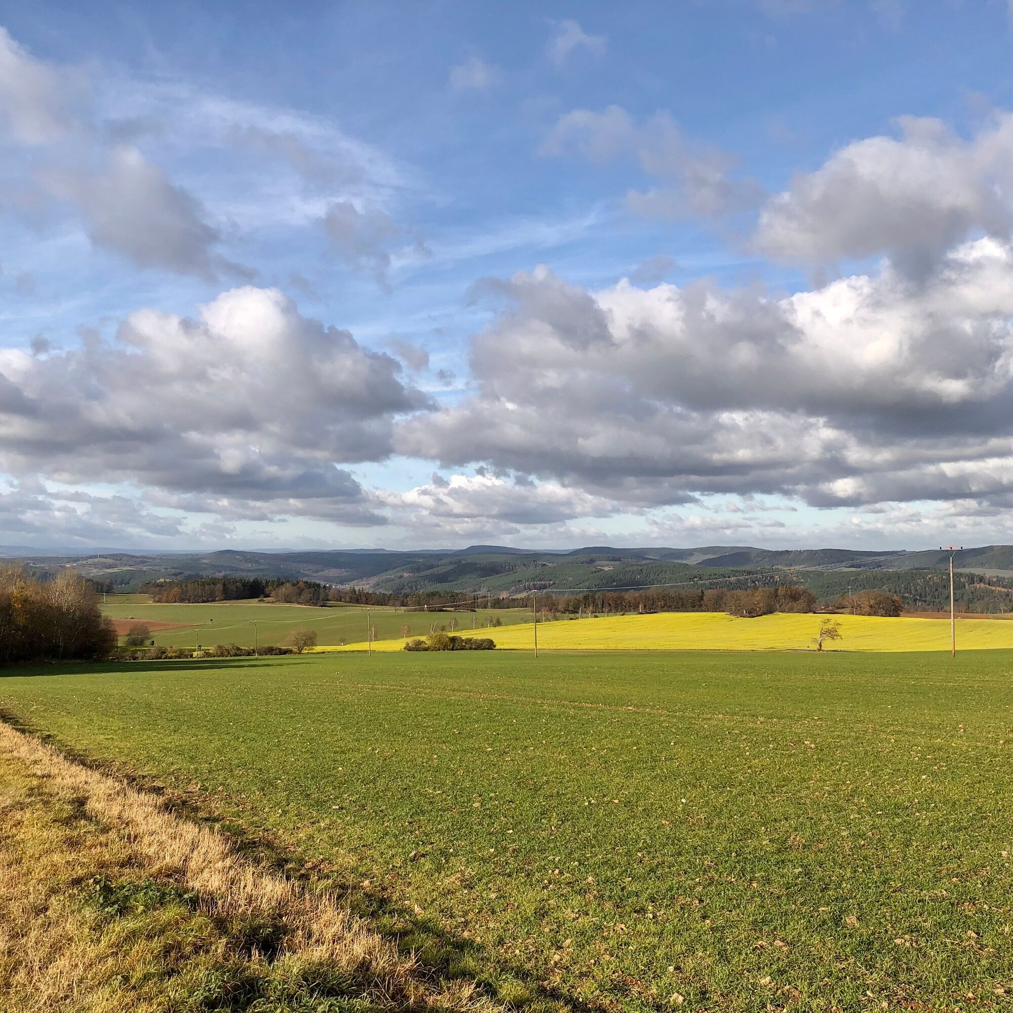
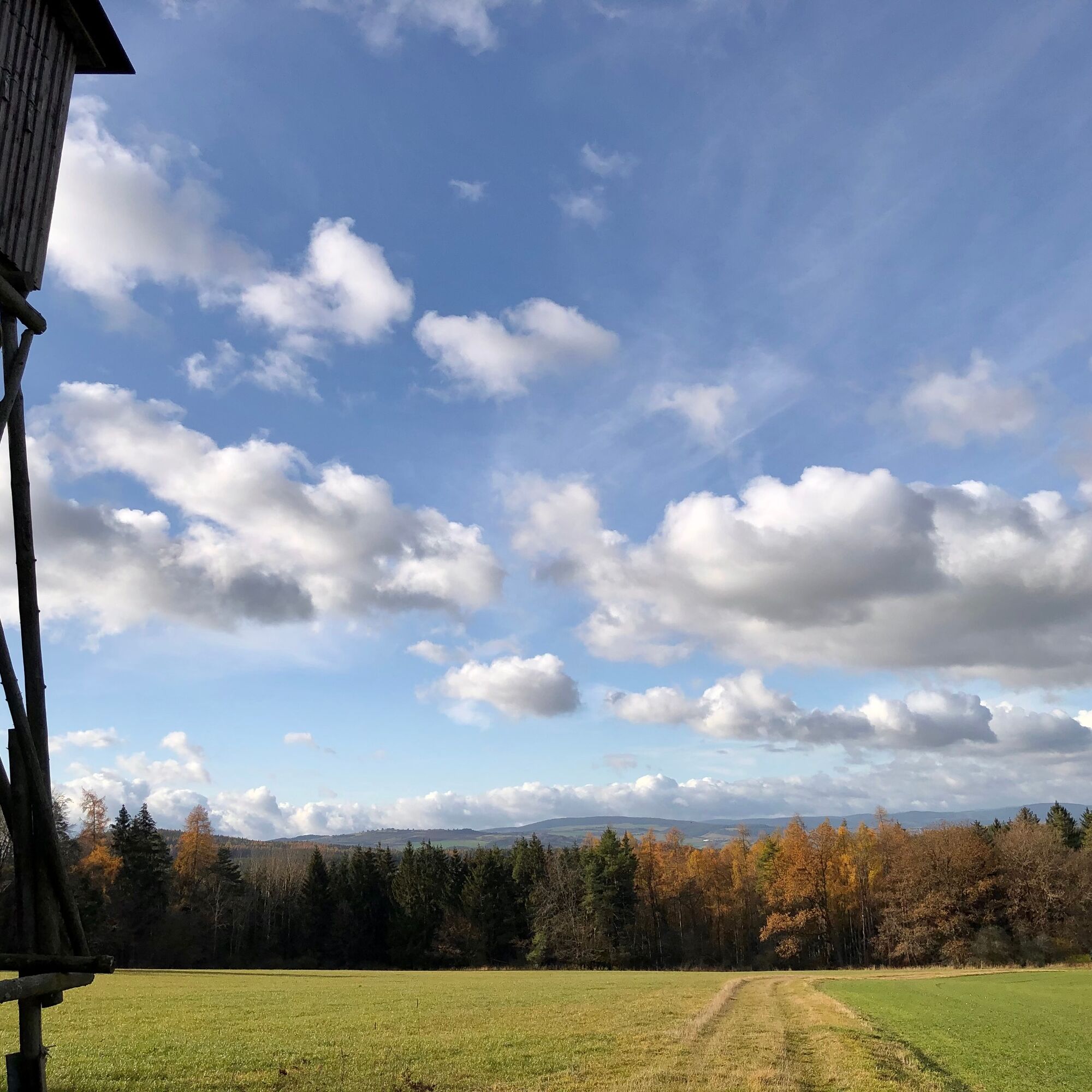
From Klingenaussicht you have a unique view of Bad Blankenburg and the surrounding area. During a rest at the shelter "Halbe Welt," you can let your gaze wander over the Rinnetal valley to the mountains of the Thuringian Forest.
Popularne wycieczki w okolicy
-
5,0
Circular hiking trail - "To the most beautiful viewpoints" - Thuringian Forest
średniWędrówka 12,8 km -
Circular hiking trail - "Sculpture Trail" - Hiking start Unterweißbach - Thuringian Forest
średniWędrówka 24,4 km -
4,0
Circular route - “To the Strudel pots of the Schwarza” - Starting point at the Chrysopras weir - Bad Blankenburg
średniWędrówka 9,01 km -
Circular hike - "Friedrich Fröbel" - Bad Blankenburg
ciężkiWędrówka 14,4 km -
Circular trail - Saugartenpfad - Hiking start at Chrysopraswehr - Bad Blankenburg
średniWędrówka 8,39 km -
5,0
Kulm route
średniWędrówka 9,39 km -
3,0
Circular route - "On archaeological trail of King Otto I." - Saale region
światłoWędrówka 6,55 km -
Panoramaweg Schwarzatal - Stage 1 Schwarza to Schwarzburg - Thuringian Forest
ciężkiWędrówka 15,4 km -
4,0
Circular hike - "Round route 3" - start and finish country hotel Edelhof Kolkwitz - Thuringia
średniWędrówka 9,42 km -
5,0
Circular hiking trail - Nature educational path Lichtenhain - Hiking start Lichtenhain
średniWędrówka 8,08 km

Wędrówki i tropienie


Nie przegap ofert i inspiracji na następne wakacje
Twój adres e-mail została dodana do listy mailingowej.