





Circular route - "On archaeological trail of King Otto I." - Saale region
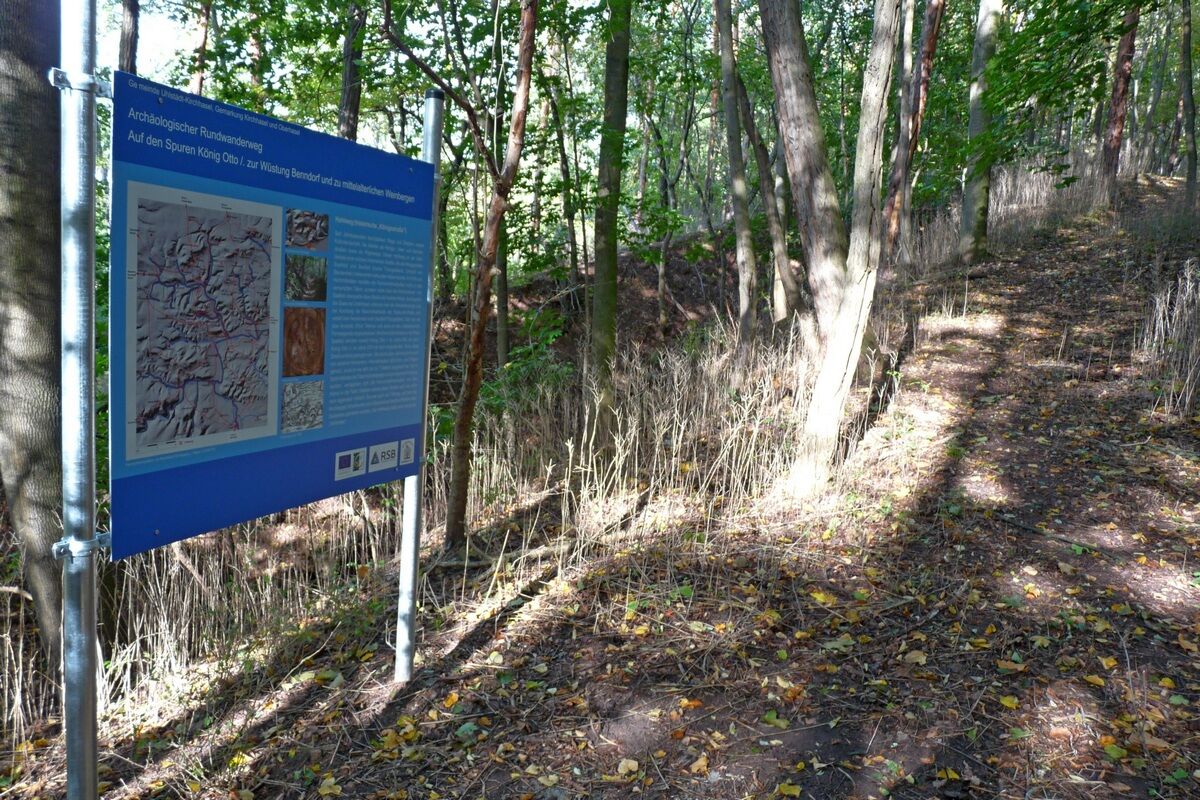
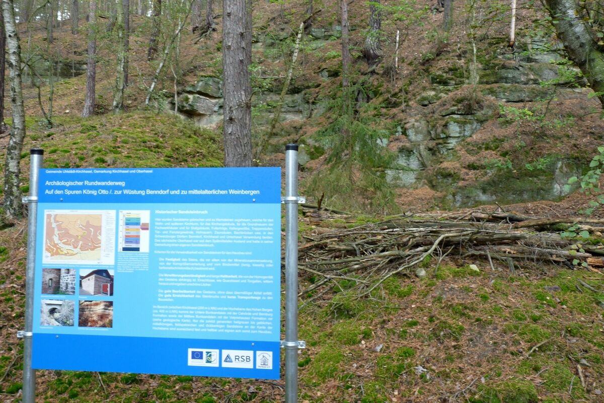
The regional historical theme path around Kirchhasel near Rudolstadt provides information with 6 large boards about the medieval “Royal Road,” a historic Buntsandstein quarry and the geology of the area,...
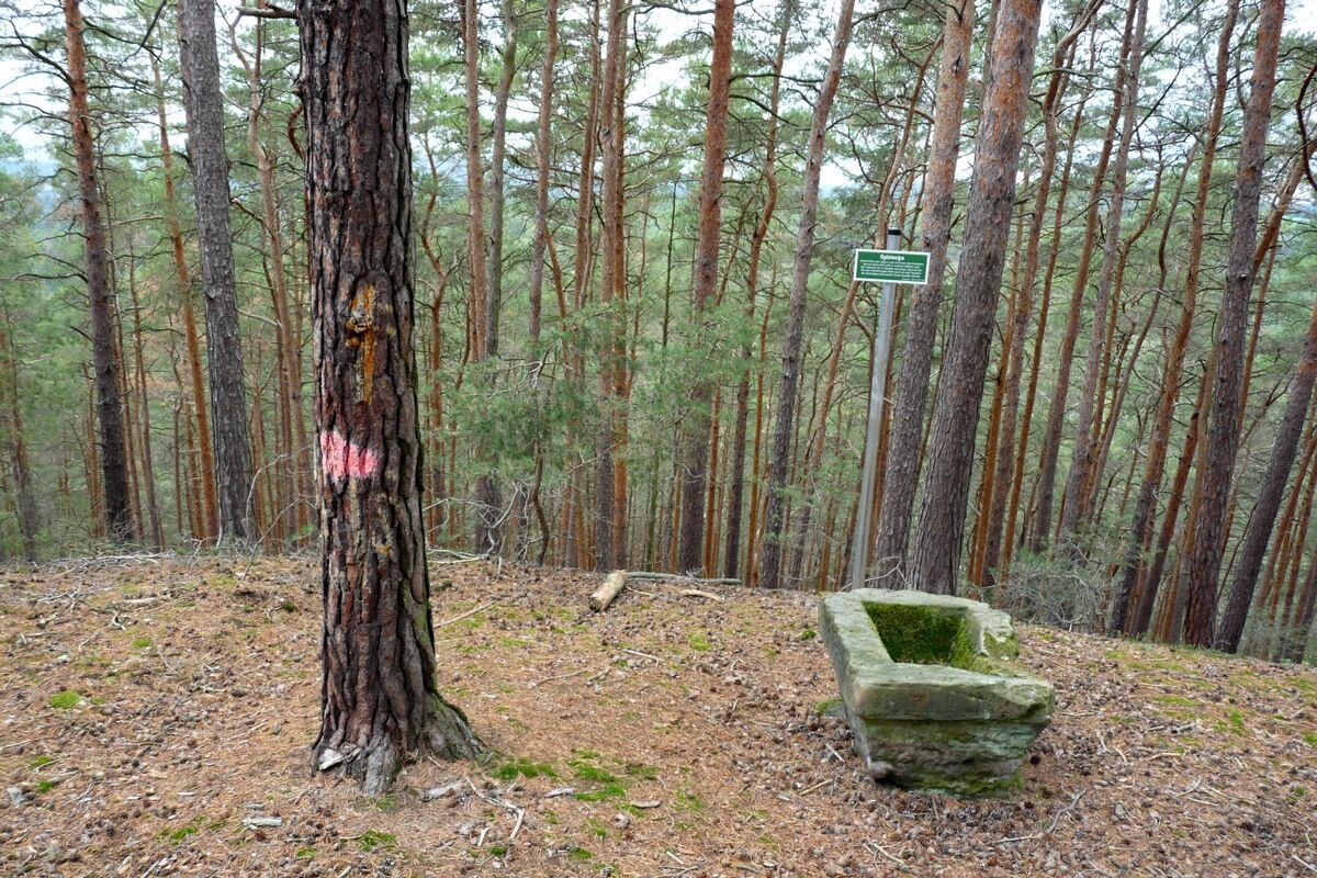
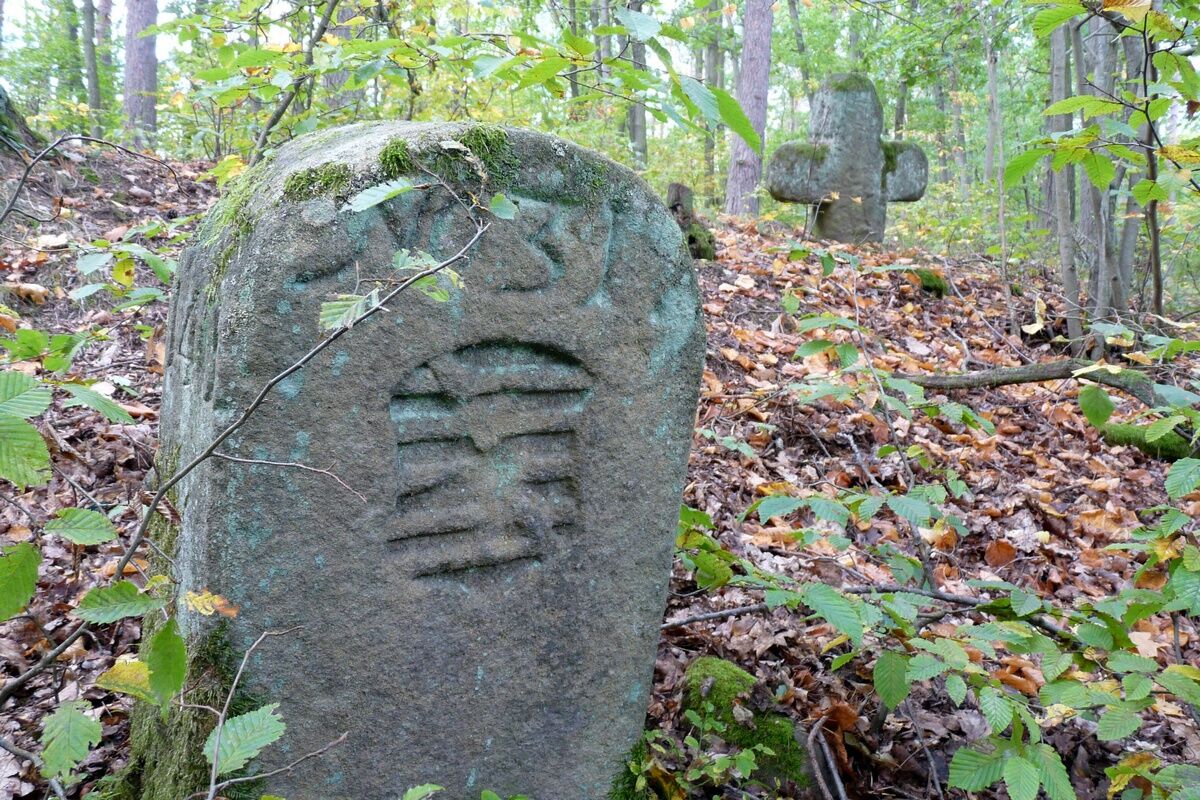
The regional historical theme path around Kirchhasel near Rudolstadt provides information with 6 large boards about the medieval “Royal Road,” a historic Buntsandstein quarry and the geology of the area, the deserted village of Benndorf and the division of the medieval field, the Hoher Berg (402 m above sea level), and medieval viticulture based on still existing vineyard terraces with interesting survey results. From there, it goes down on the historic Mötzelbacher Marktweg into the Haselbachtal (Hirschgrund) to the Oberhasel church (215 m above sea level). The Thuringian small state relations are addressed at an old boundary stone from 1740.
There are about 250 meters of elevation gain at the beginning. The route is family-friendly but not suitable for strollers and not accessible for people with disabilities. Rest points are available at the deserted village of Benndorf and at Blöschütz.

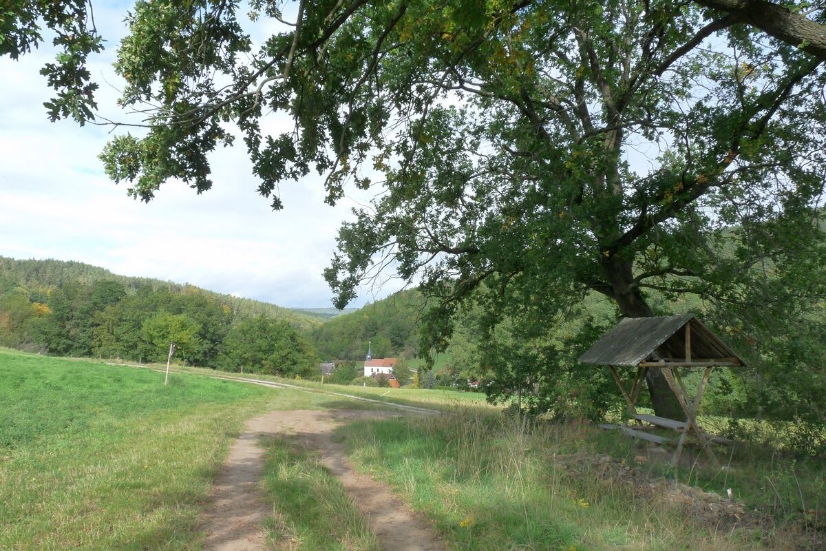
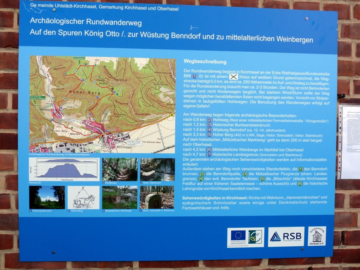
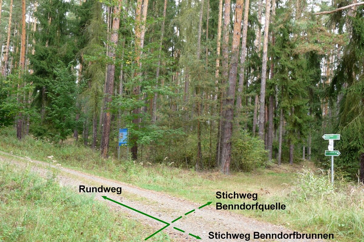
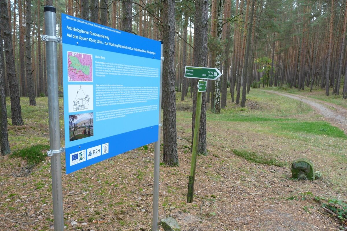
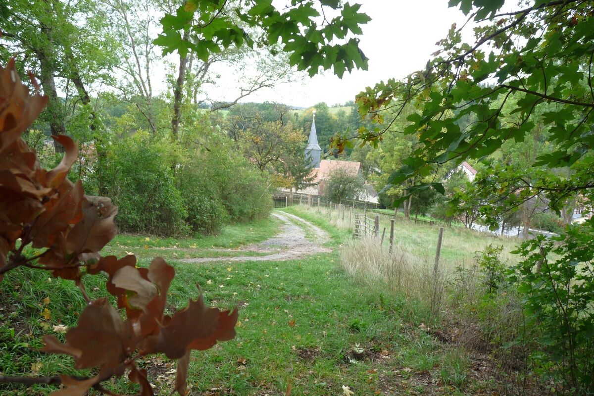
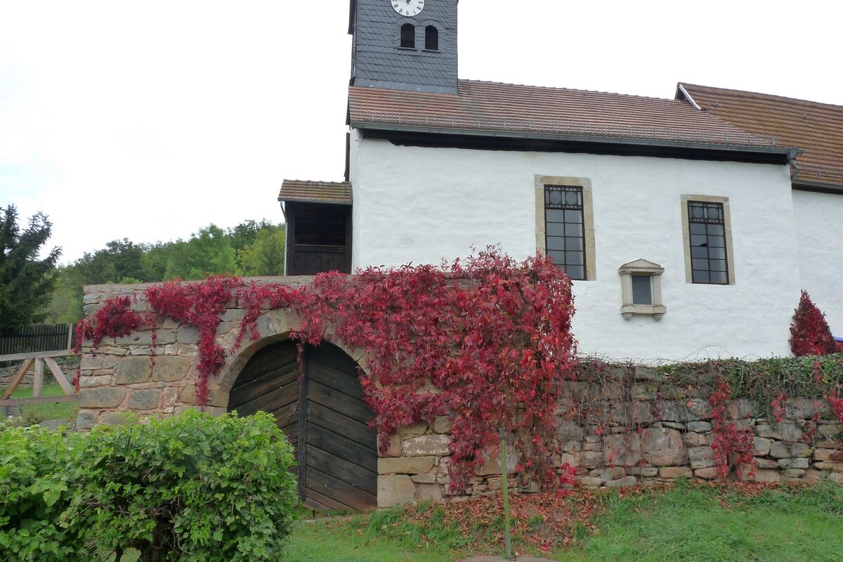
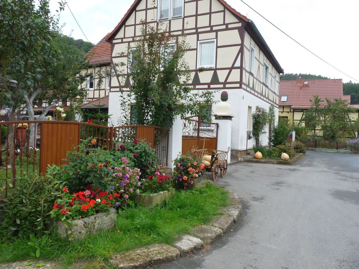
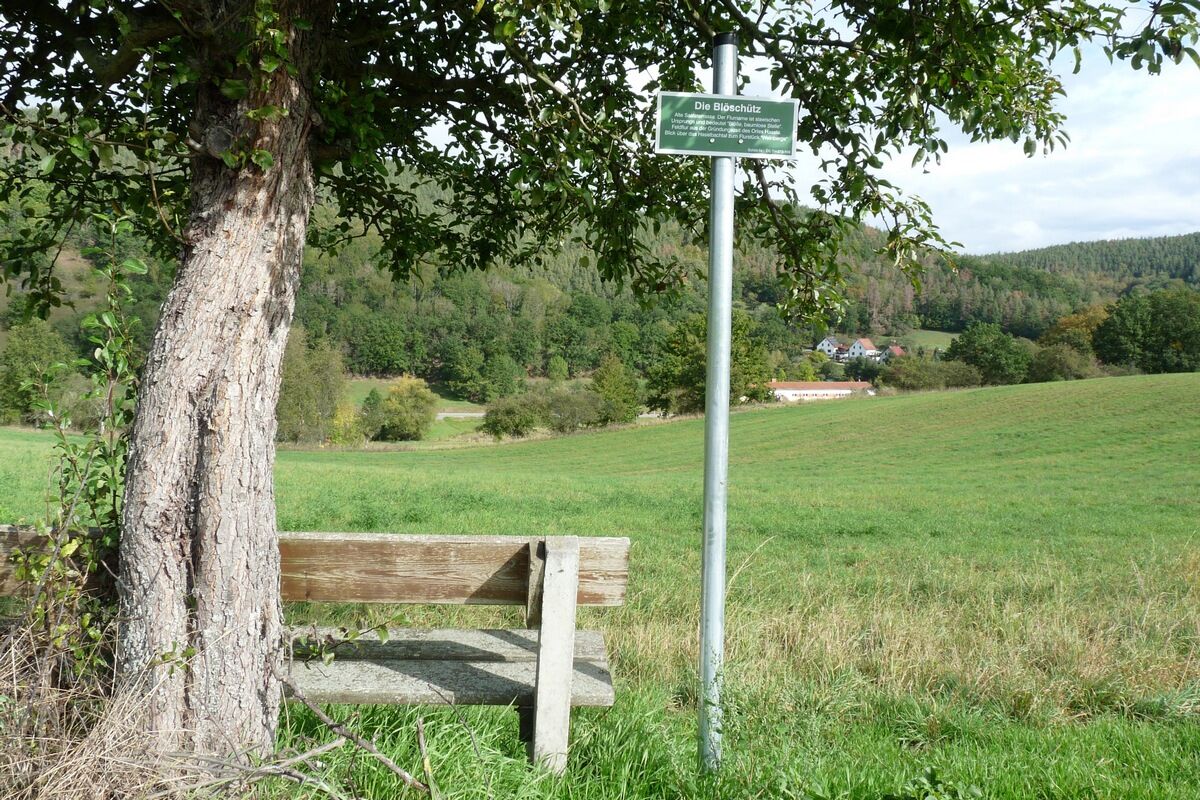


The starting point is located in the village of Kirchhasel (200 m above sea level) at the street corner of the federal road B88/ Riethtalgasse. There is an information board with a hiking map and route description. The path is well signposted with 24 signposts and 50 trail markers (green cross on a white square). First, the path runs to the end of Riethtalgasse, then turns right at a signpost. From there, it goes about 120 m uphill to the Buntsandstein plateau, circles the mountain plateau with a slight incline to the Hoher Berg (385 m above sea level). From there, it descends on the historic Mötzelbacher Marktweg into the Haselbachtal (Hirschgrund) to the Oberhasel church (215 m above sea level). After crossing the Haselbach bridge in the village center, the path continues through a hollow way (Mötzelbacher Marktgasse) 35 m uphill to an old Saale terrace (Blöschütz). Where the Mötzelbacher Marktweg crosses the path running over Blöschütz from Kirchhasel to Teichweiden (connecting to the Lutherweg), turn left towards Kirchhasel. From here, it is only 1 km through the fields to Kirchhasel. The circular route ends at the junction of Blöschützgasse with the federal road B88.
Tak
Tak
Sturdy footwear
Rainwear
First aid kit
GPS device or smartphone
Drink supply
Via A71 exit 14b Stadt Ilm, continue on B90n to Bad Blankenburg, then on B 88 to 07407 Kirchhasel.
You can take the train to Rudolstadt and from there by bus (KomBus line 121/122, www.kombus-online.eu) to Kirchhasel.
→ Arrival at Kirchhasel
Parking is available at the village square (Google NAV point)
Parking is available at the village square Kirchhasel in immediate proximity to the start and end point.
You can dine and stay overnight in Kirchhasel at the restaurant Thüringer Bauernstube: Kirchstraße 5, Tel. 03672-427440. Coffee and cake are available at the coffee shop with a small village gallery of the Kraft bakery: Catharinauer Str. 1, open Tue-Sat.
The trail sponsor is the Backhausverein Oberhasel e.V., Jürgen Weyer, contact weyerkirchhasel.jimdofree.com for guided tours for hiking or school groups.


Popularne wycieczki w okolicy
-
4,8
Circular hiking trail - "To the most beautiful viewpoints" - Thuringian Forest
średniWędrówka 12,8 km -
4,5
Circular route - “To the Strudel pots of the Schwarza” - Starting point at the Chrysopras weir - Bad Blankenburg
średniWędrówka 9,01 km -
4,0
Zur Jagdanlage Rieseneck bei Hummelshain
światłoWędrówka 5,21 km -
Circular hike - "Friedrich Fröbel" - Bad Blankenburg
ciężkiWędrówka 14,4 km -
Circular trail - Saugartenpfad - Hiking start at Chrysopraswehr - Bad Blankenburg
średniWędrówka 8,39 km -
5,0
Kulm route
średniWędrówka 9,39 km -
Panoramaweg Schwarzatal - Stage 1 Schwarza to Schwarzburg - Thuringian Forest
ciężkiWędrówka 15,4 km -
4,0
Circular hike - "Round route 3" - start and finish country hotel Edelhof Kolkwitz - Thuringia
średniWędrówka 9,42 km -
5,0
Bachtälchen Path - No. 1
światłoTrasa tematyczna 2,96 km -
4,0
Terrain therapy trail Saalfeld - No. 5
średniTrasa tematyczna 5,31 km
Wędrówki i tropienie


Nie przegap ofert i inspiracji na następne wakacje
Twój adres e-mail została dodana do listy mailingowej.





