







Small border hike at the Green Belt
The circular path is well signposted. It leads for the first few meters along the Rennsteig and turns south behind the relics of the border fence to the Altjägermoor. At the Altjägermoor there is a viewing...
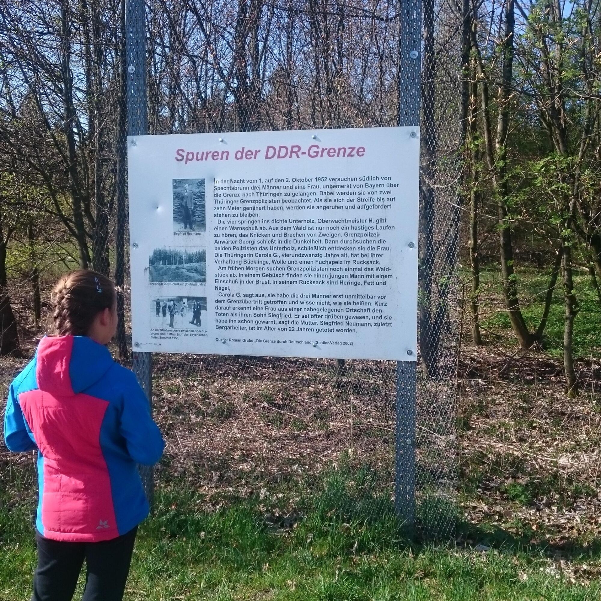
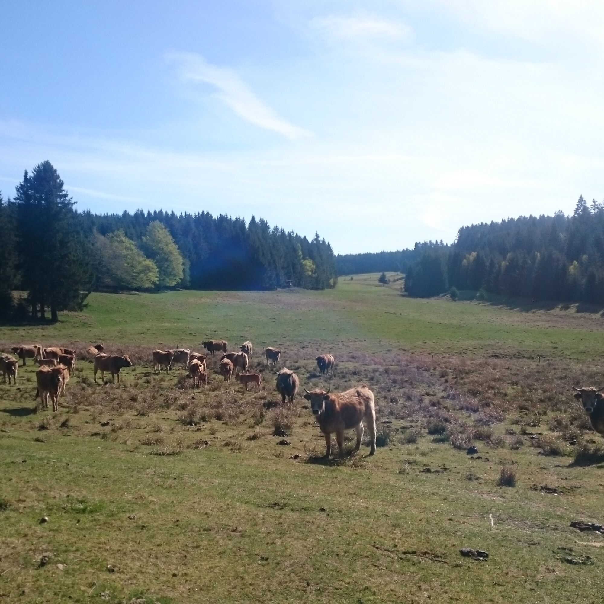
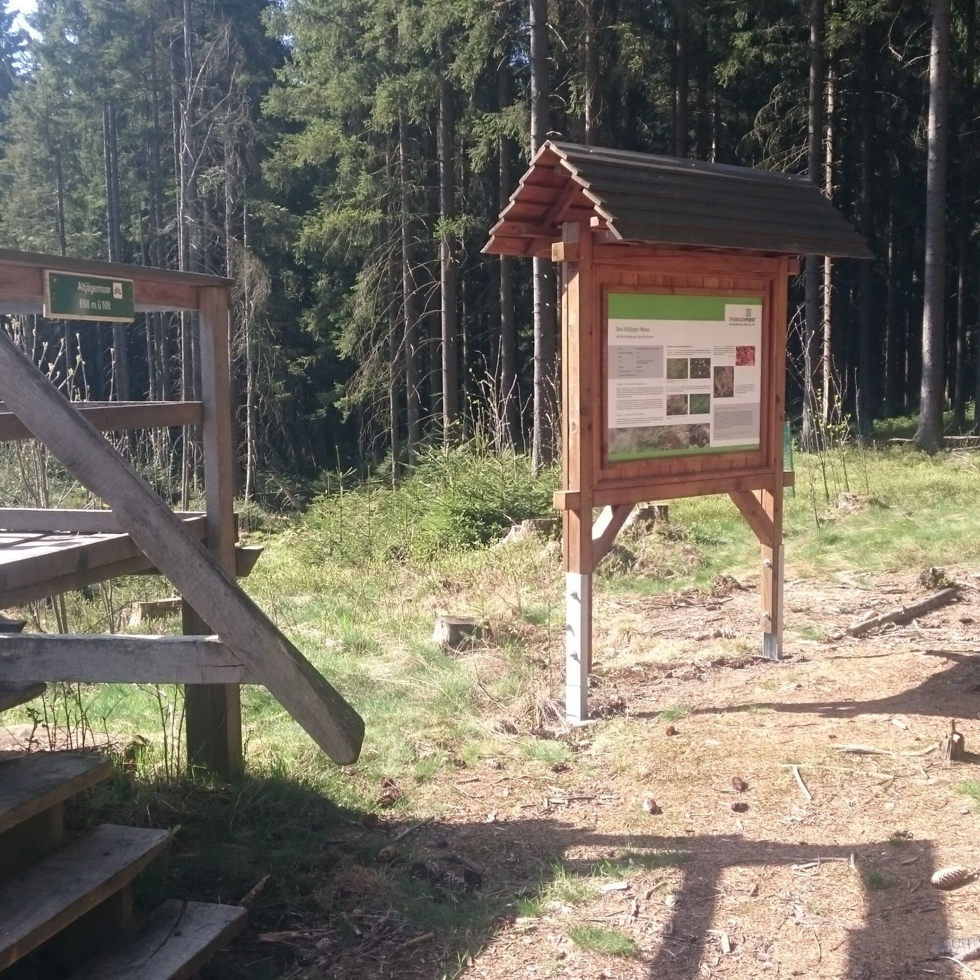
The circular path is well signposted. It leads for the first few meters along the Rennsteig and turns south behind the relics of the border fence to the Altjägermoor. At the Altjägermoor there is a viewing tower over the moor, and an information panel explains the formation of a moor on the slate mountain plateau. On a forest path, you continue parallel to the state border Bavaria Thuringia. Until 1989, the "Iron Curtain" stood here. Today, large herds of Aubrac cattle graze peacefully on the mountain pastures. The paths in this area are partly ancient. They belonged to the old military and trade route, used by Martin Luther and Napoleon.
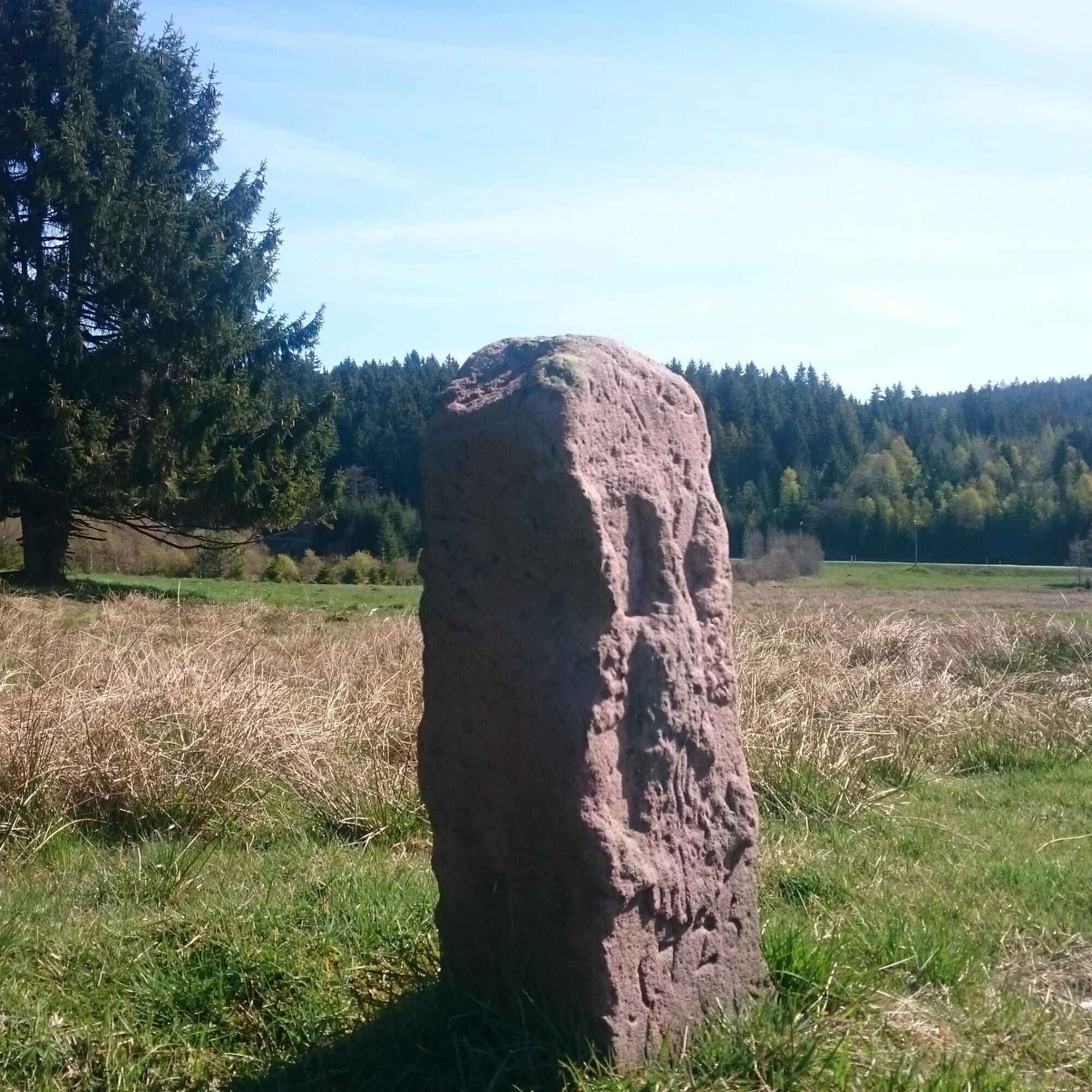
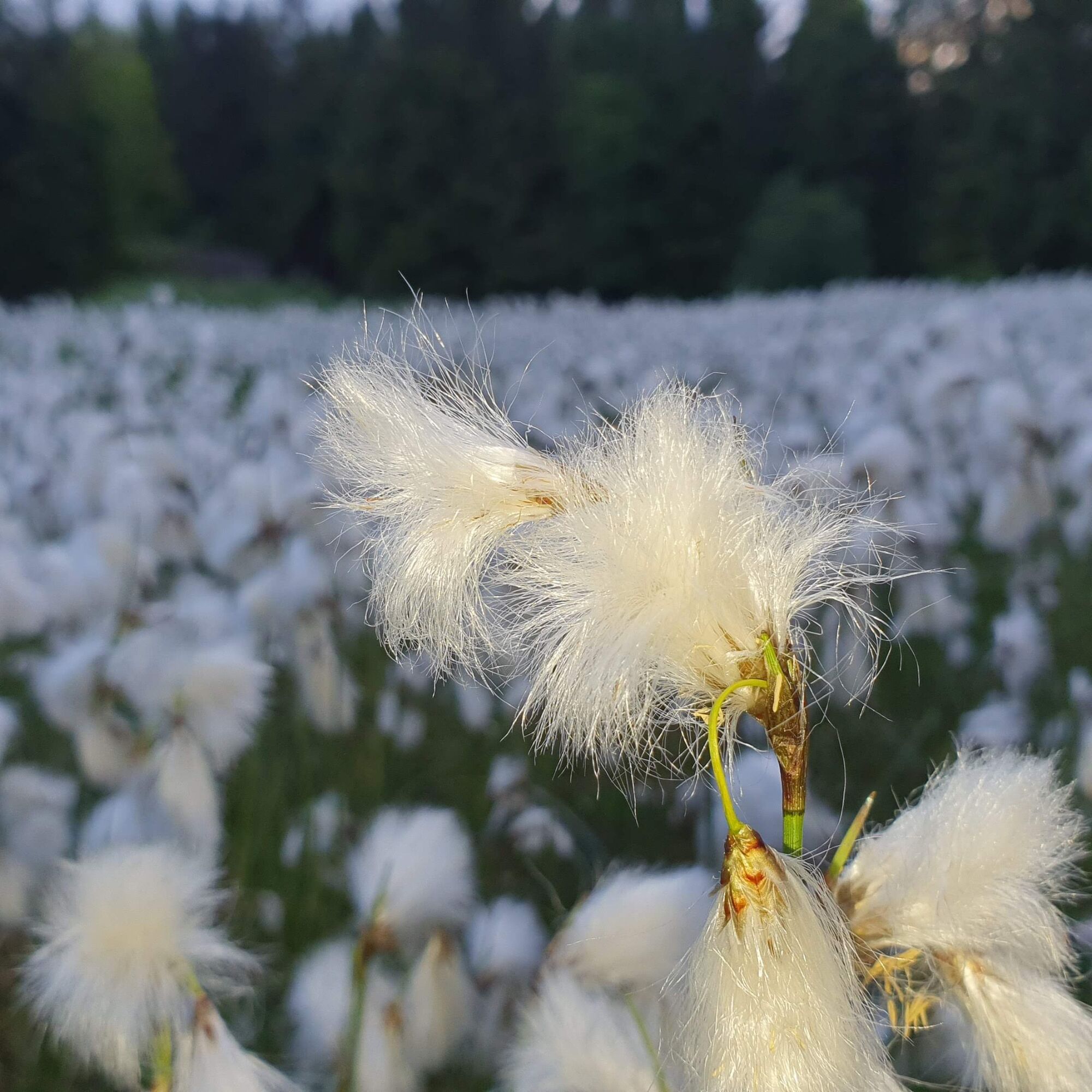
The Kolonnenweg, the patrol path of the border troops, is not so easy to walk. Coat of arms stones and memorial stones recall the past in the border area. Bear root meadows and fragrant wild thyme are part of the biotope network at the "Green Belt".





The route runs entirely on paved paths. The path is marked with weather-resistant signs with blue arrows.
Tak
Sturdy footwear
Rainwear
Drink supply
GPS navigation device or smartphone
Please do not leave the designated paths in the former border area.
Coming from the A73 take exit 8 (Neustadt bei Coburg) and continue on the B4 towards Sonneberg with a change to the B89. Turn right before Unterlind and bypass Sonneberg on the south side to Malmerz. At the roundabout, take the second exit to Neuhäuser Straße. Follow the L1150 north through Blechhammer, Eschenthal, Friedrichsthal, Hasenthal to Spechtsbrunn and onward to "Kalte Küche".
You can reach the nature park information center by bus 706 from Sonneberg (connection Deutsche Bahn) to the Spechtsbrunn, Teich stop. From there it is about a 20-minute walk to the "Kalte Küche" information center. Simply use the following link for travel planning:
→ Travel to Spechtsbrunn, Teich
Just enter your starting point and desired date
Use the parking spaces directly at the nature park information center (Google NAV point)
The backpack school on the topic "Green Belt - from Death Strip to Habitat" - a hike through history and the present for 3rd/4th grade is available at the Spechtsbrunn Nature Park Information Center.
In winter, you can do the route with snowshoes. At the nature park info center, there is an entry to the Rennsteig cross-country ski trail and a groomed circular trail "Trail of German Unity".
Uzyskaj wgląd
Zawsze na żywo z ponad 9 500 kamer internetowych. bergfex Jako użytkownik Pro, możesz teraz zobaczyć odpowiednie kamery internetowe dla wielu wycieczek w aplikacji wycieczki od. Pozwala to na bezpośredni podgląd aktualnych warunków.
Popularne wycieczki w okolicy
-
5,0
Circular route around the "Slate Lake" - Lehesten - Thuringian Forest
światłoWędrówka 2,99 km -
Circular hiking trail - "Sculpture Trail" - Hiking start Unterweißbach - Thuringian Forest
średniWędrówka 24,4 km -
Circular route - "When Rennsteig meets the Schwarzatal panorama path" - Limbach
średniWędrówka 9,68 km -
5,0
Meurasteine, Talsperre Leibis-Lichte
średniWędrówka 13,4 km -
Circular hiking trail - To the Leibis/Lichte drinking water reservoir - Hiking start Lichtenhain
średniWędrówka 12,7 km -
Circular hiking trail - Slate Trail on the "Green Belt" - Probstzella - Thuringian Forest
ciężkiWędrówka 56,6 km -
Nature Park Trail - Griffel Path in the Thuringian Forest
ciężkiTrasa tematyczna 6,45 km -
On the Track of the Buckelapotheker - Starting Point Lichtenhain Nature Park Trail
średniWędrówka 9,76 km -
Nature park path Meurasteine in the Thuringian Forest
ciężkiWędrówka 11,7 km -
Circular Hike - "Schaumberger Land Panorama Trail" - Eisfeld - Thuringian Forest
ciężkiWędrówka 74,2 km

Wędrówki i tropienie


Nie przegap ofert i inspiracji na następne wakacje
Twój adres e-mail została dodana do listy mailingowej.





