







Circular route around the "Slate Lake" - Lehesten - Thuringian Forest
Poziom trudności: T1
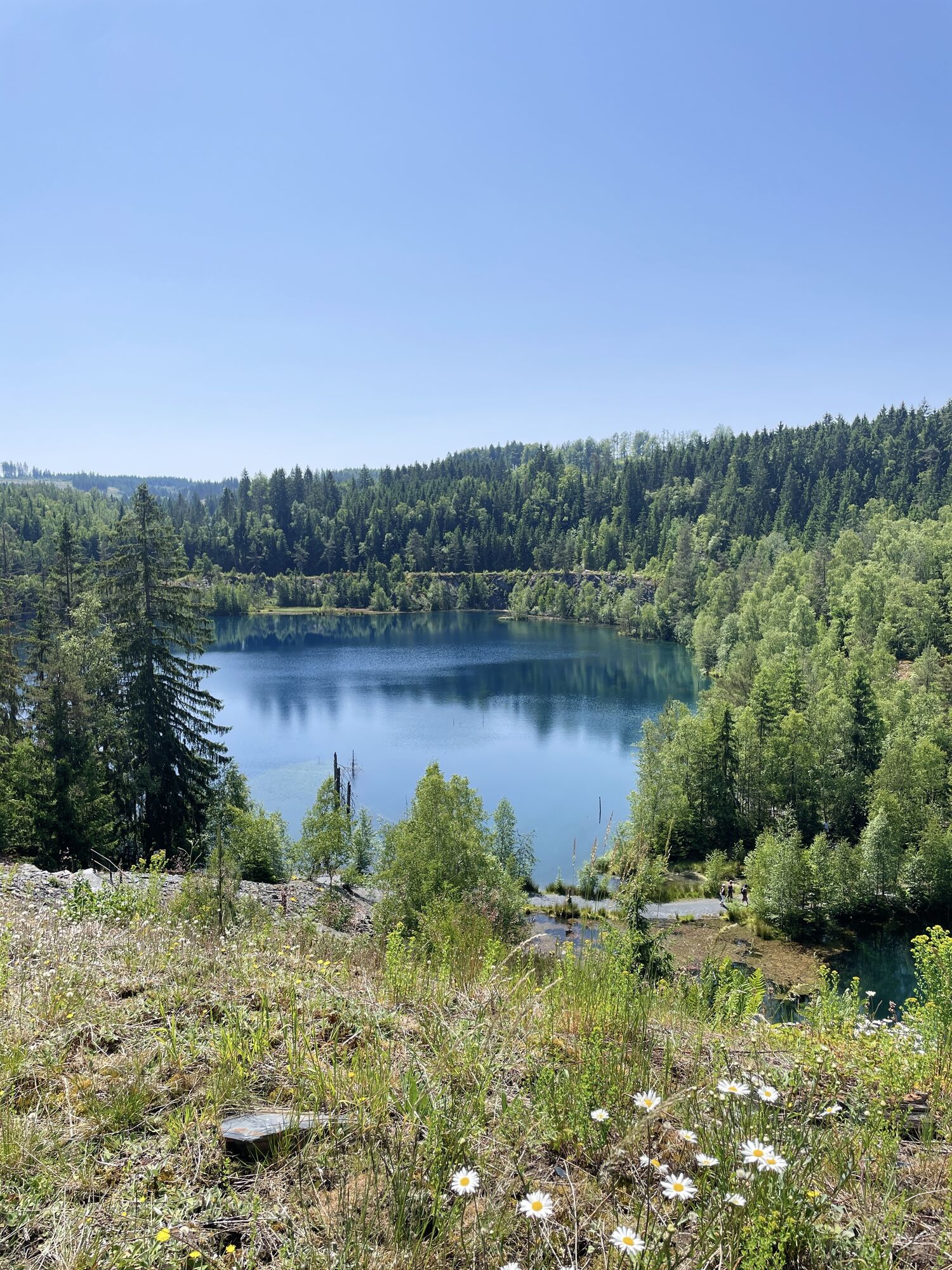
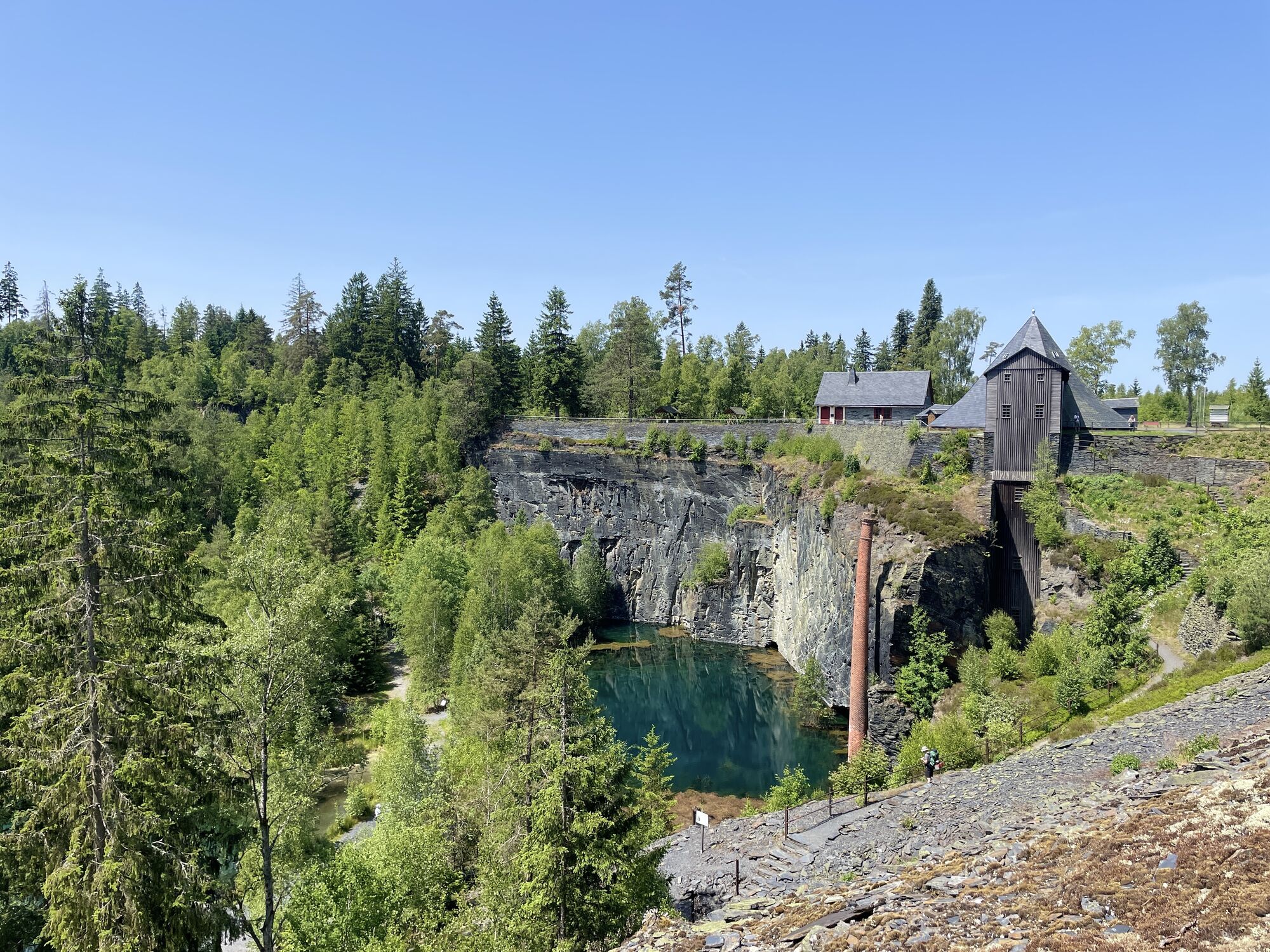
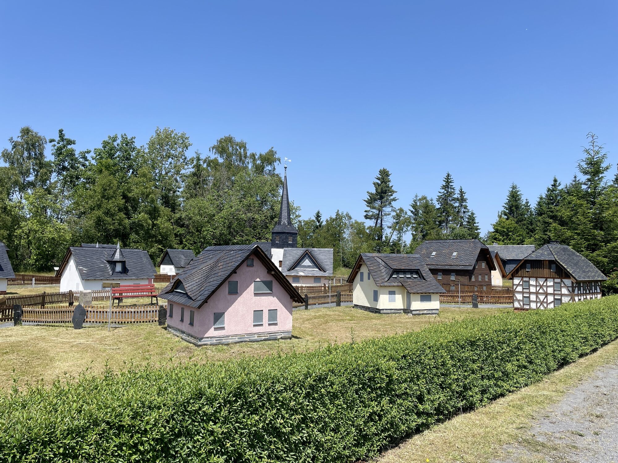
In the opencast mine abandoned in 1974, the approx. 45m deep "Slate Lake" has formed. Around it runs a former service road embedded by dumps, mining relics, and unique flora.
The circular trail is an easy...
In the opencast mine abandoned in 1974, the approx. 45m deep "Slate Lake" has formed. Around it runs a former service road embedded by dumps, mining relics, and unique flora.
The circular trail is an easy path with beautiful views. You can start at the Technical Monument "Historic Slate Mining Lehesten" or in the Slate Park. Along the well-signposted path are several historic functional buildings, of which the Shaft IV complex stands out. Information boards provide details about the history.

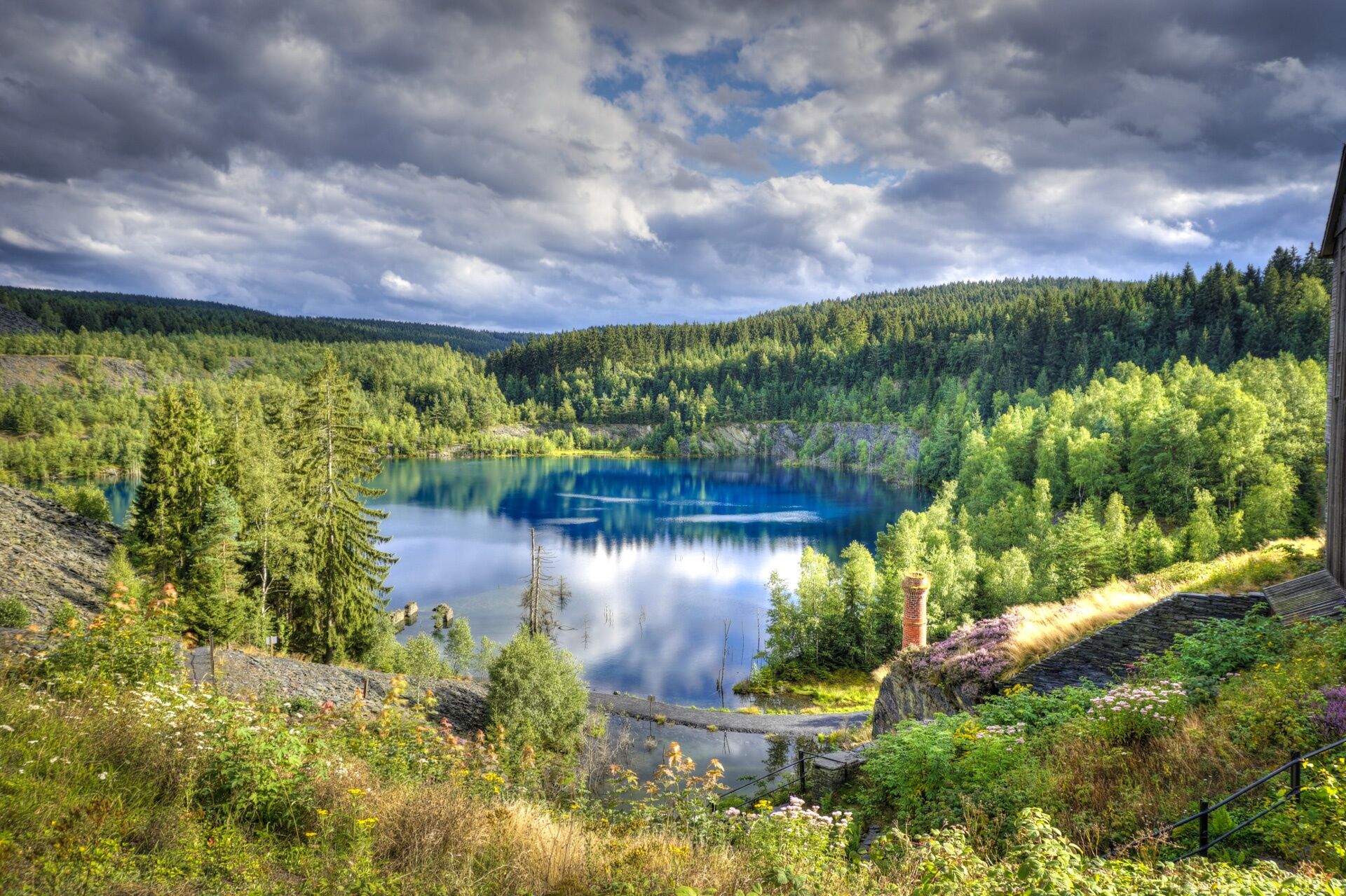
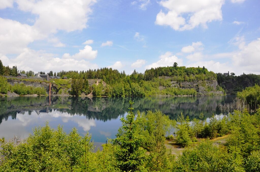
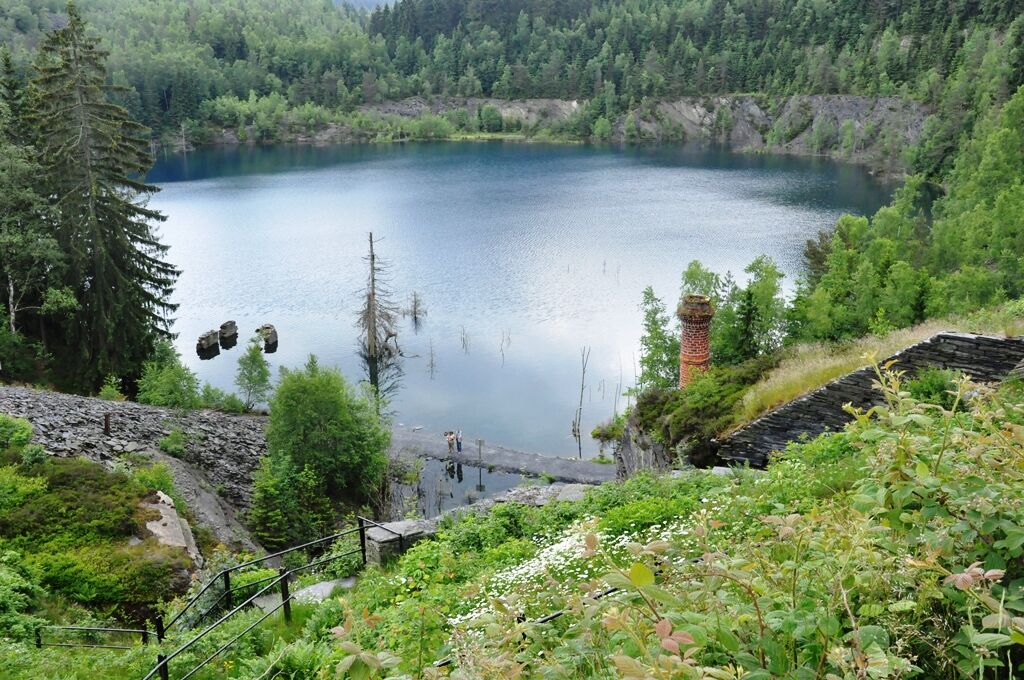
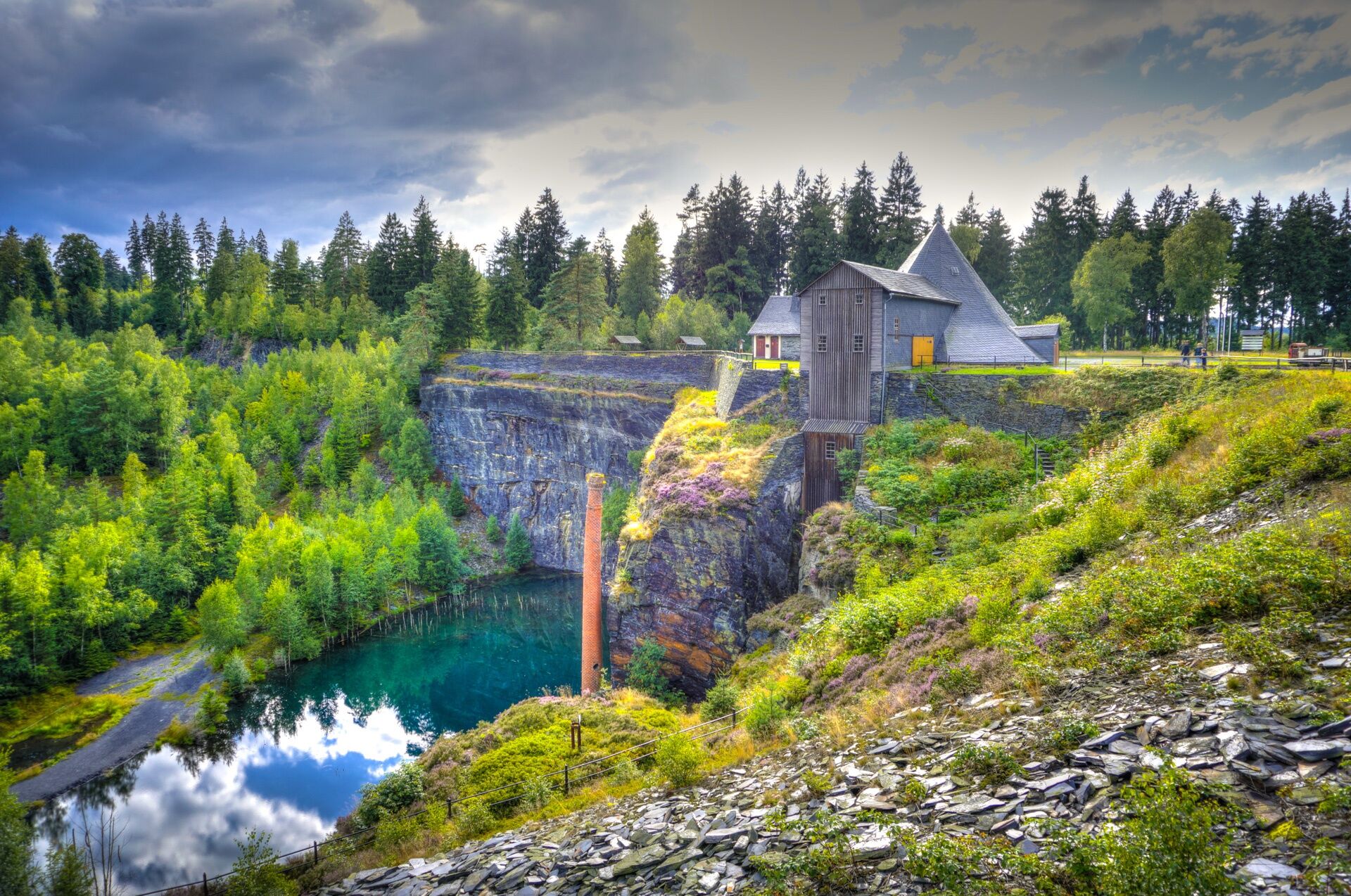
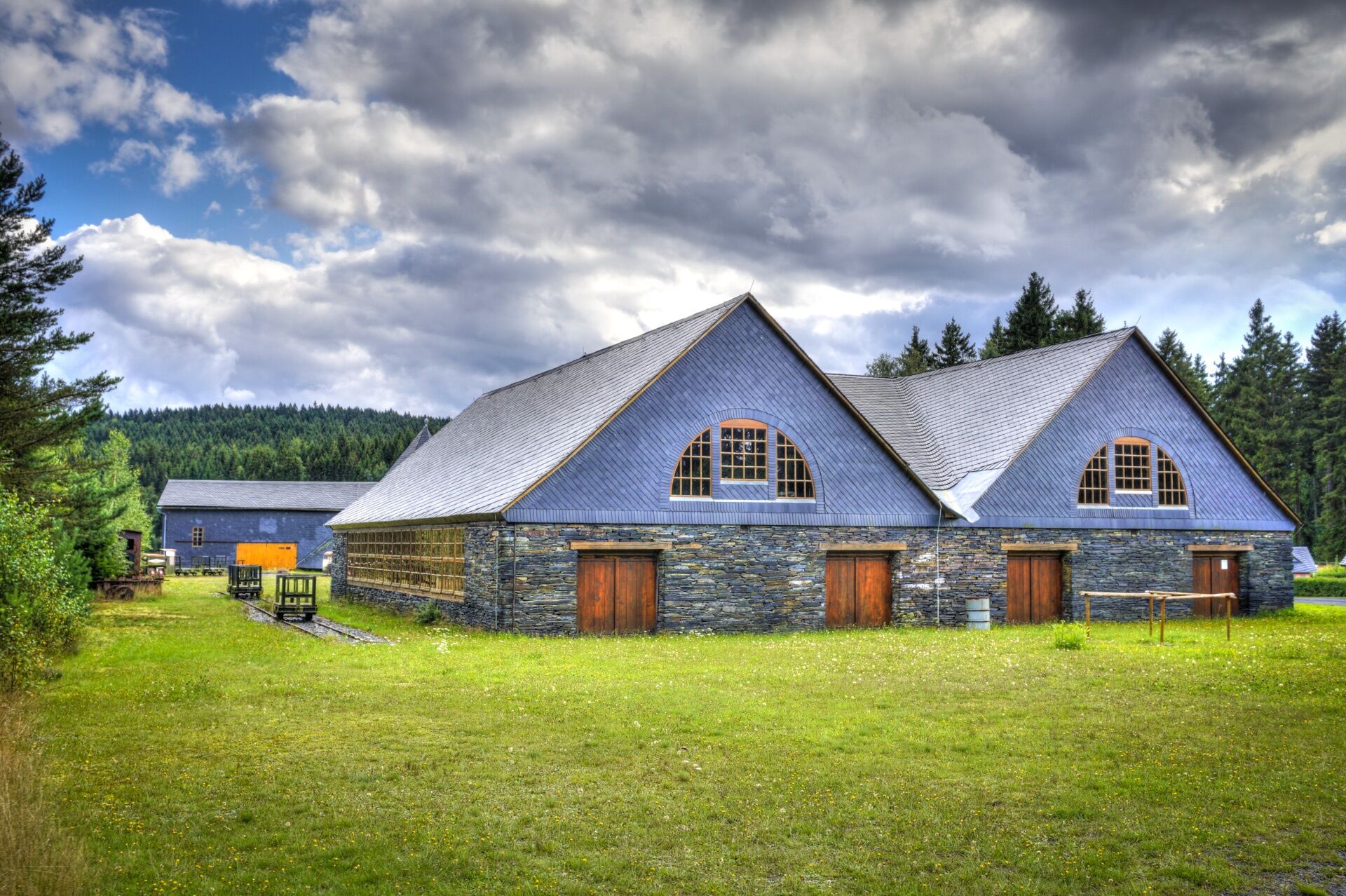
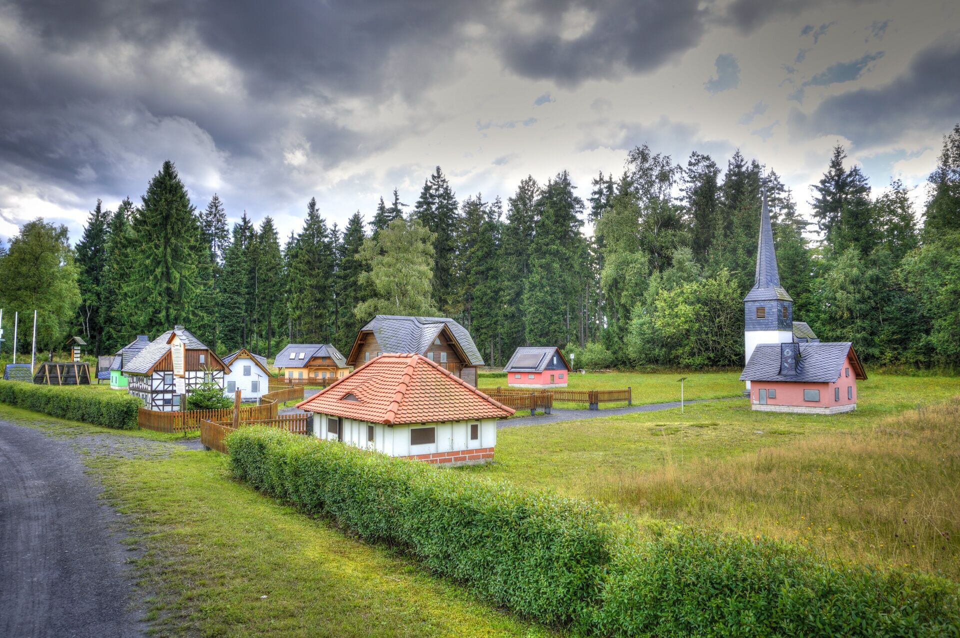
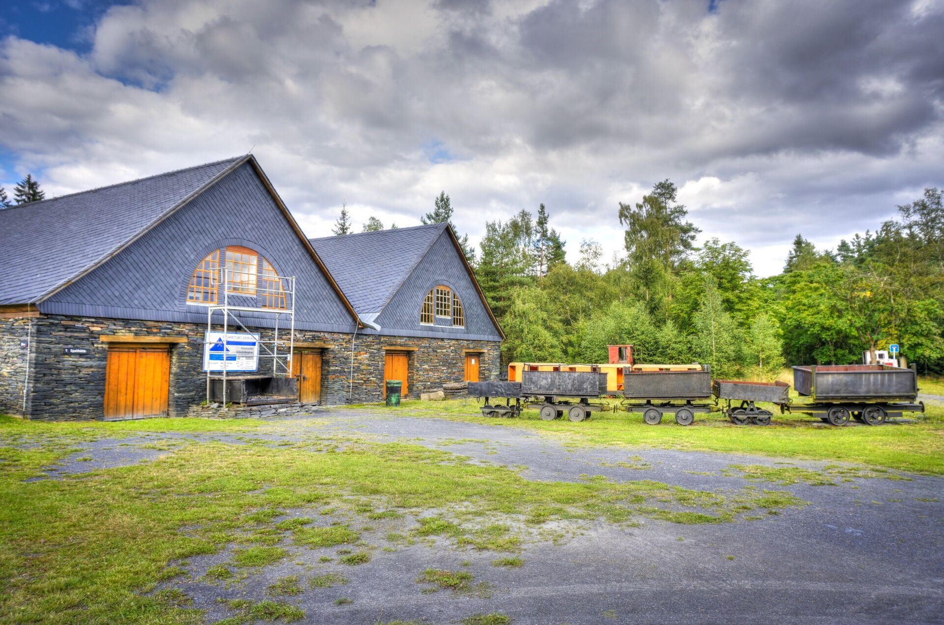
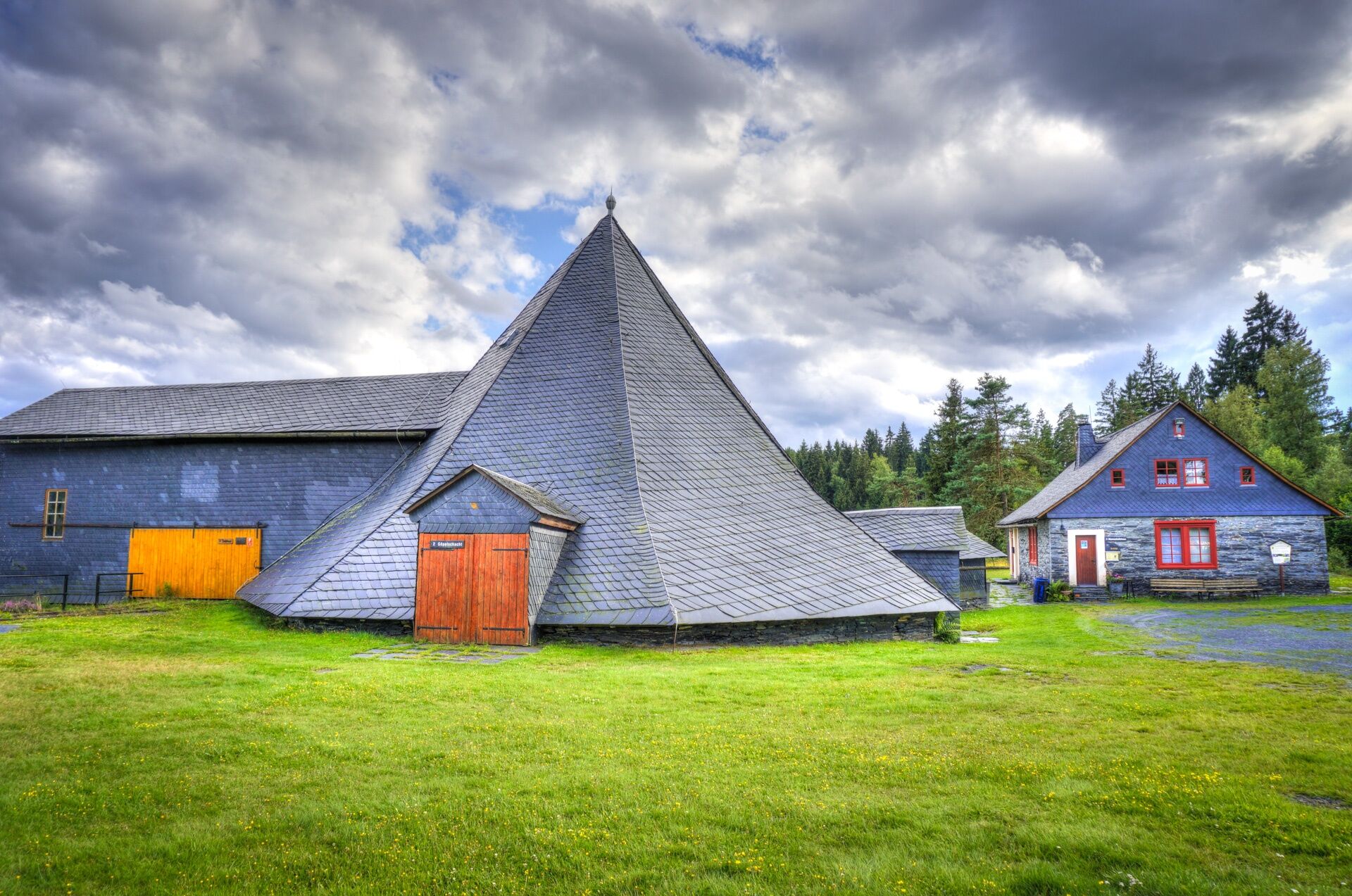
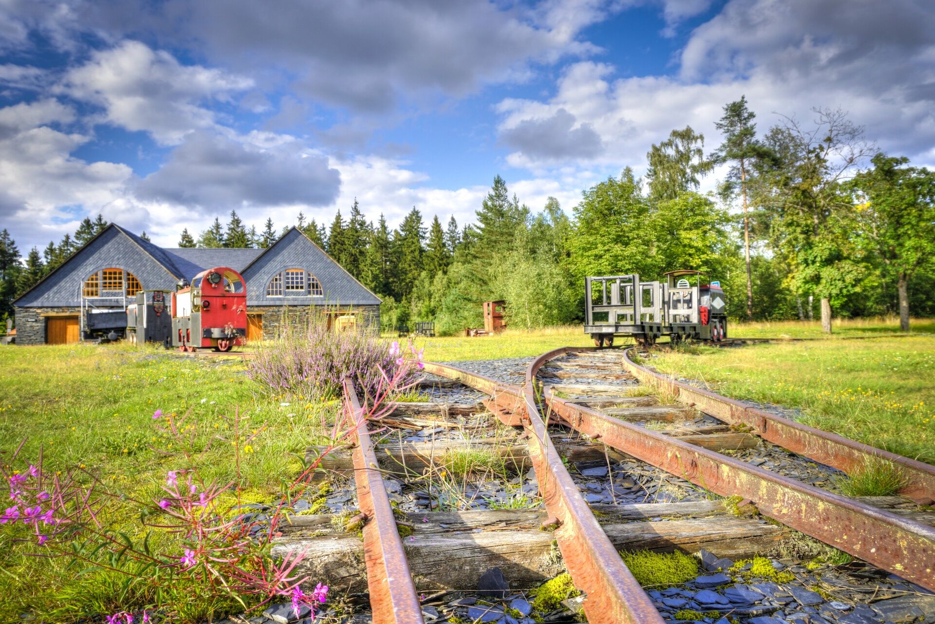
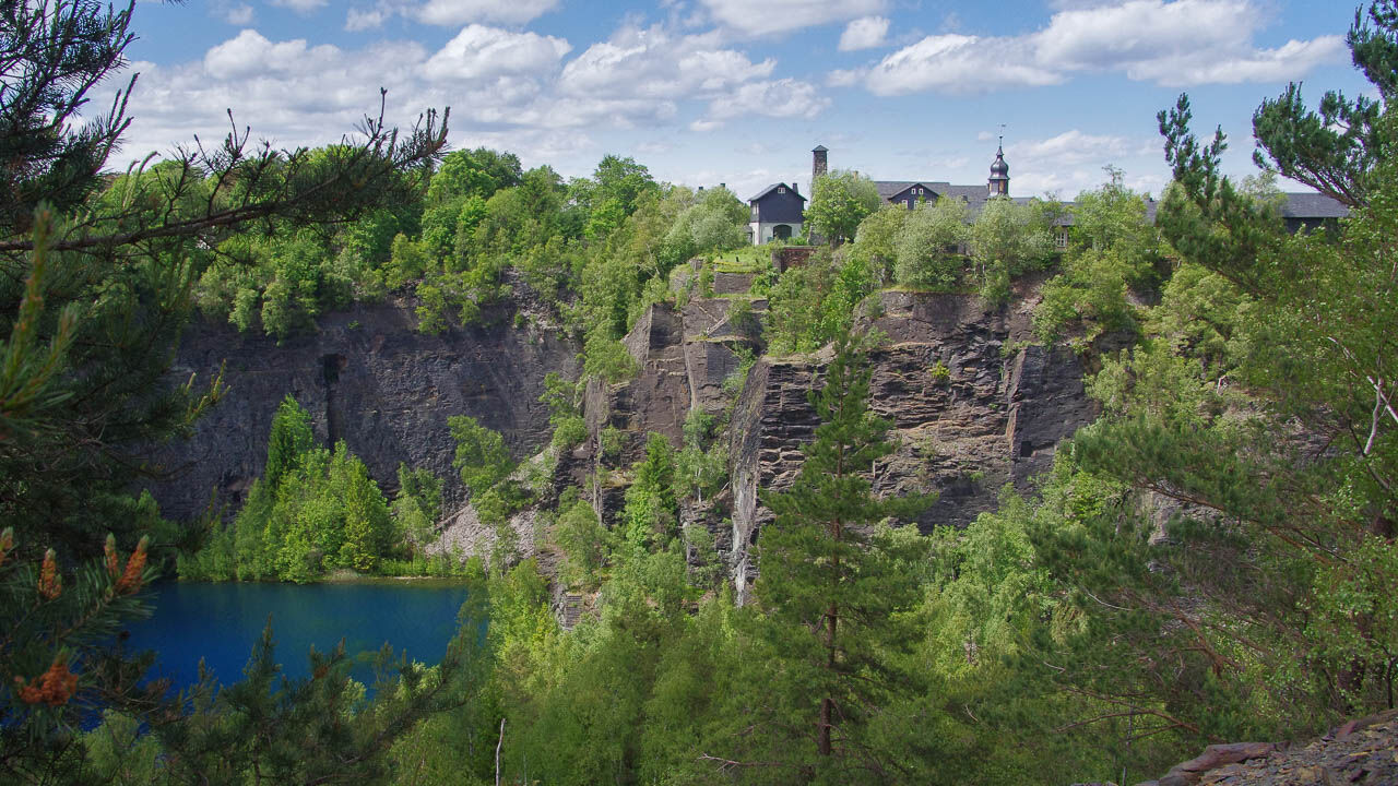
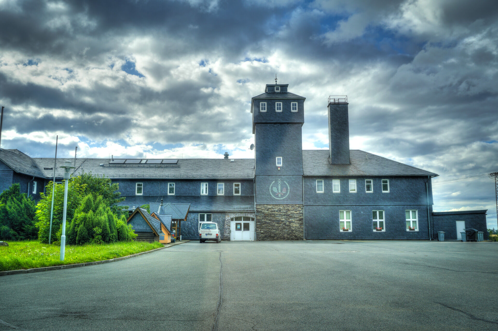
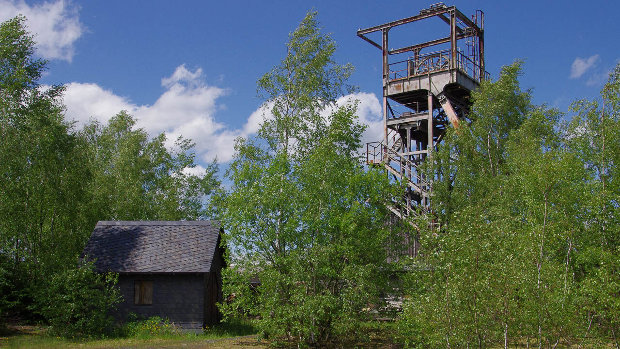
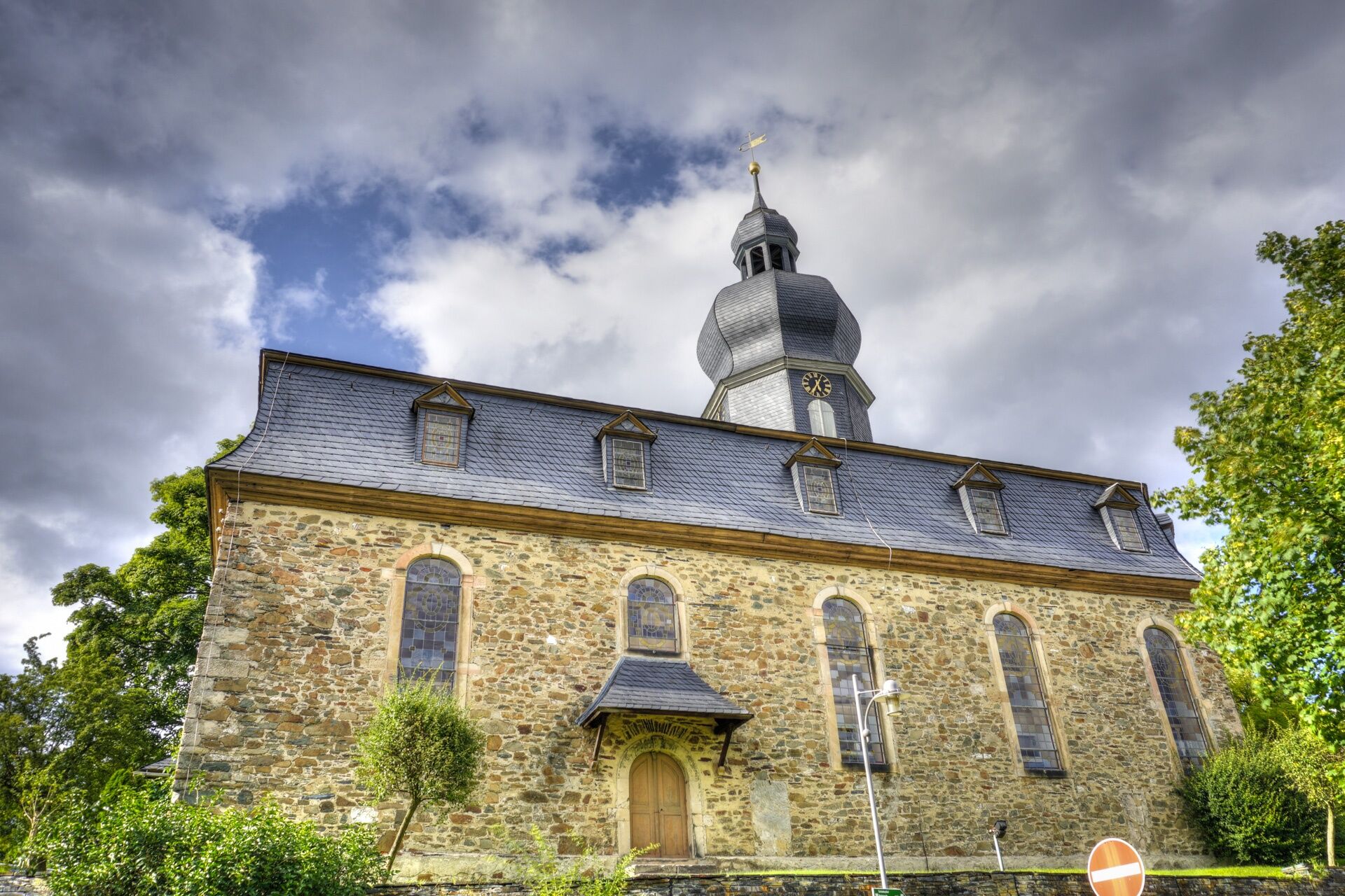

Technical Monument "Historic Slate Mining Lehesten" - Slate Lake viewpoint - playground - Staatsbruch - around the lake - back to the Technical Monument
Trail marking: green mining symbol on white background
Tak
Tak
Sturdy footwear
Rain gear
First aid kit
GPS device / smartphone
Drinks
Please stay on the marked hiking trails.
Access to the Technical Monument "Historic Slate Mining Lehesten" is possible from all directions via the L 1096.
Parking is available in front of the barriers.
Group travelers as well as people with disabilities can access the museum by prior arrangement.
T1
Technical Monument "Historic Slate Mining Lehesten"



Popularne wycieczki w okolicy
-
5,0
Um die Ködeltalsperre
światłoWędrówka 12,2 km -
5,0
Urwaldpfad Leutenberg - Thuringian Urwaldpfade
średniWędrówka 6,82 km -
Hike - Rennsteig - Stage 8 - From Brennersgrün to Blankenstein
średniWędrówka 20,8 km -
Children's path in Leutenberg "On the trail of the fire salamander"
światłoWędrówka 5,37 km -
5,0
Circular hiking route - H2 Nature and Structure - Thuringian Forest
średniWędrówka 10,0 km -
4,0
Von Wurzbach zum Häslich
światłoWędrówka 6,70 km -
Rennsteig stage run - 5th stage Spechtsbrunn - Blankenstein
ciężkiTrailrunning 40,2 km -
Circular hiking trail - Slate Trail on the "Green Belt" - Probstzella - Thuringian Forest
ciężkiWędrówka 56,6 km -
5,0
Von Rodacherbrunn zum Titschendorfer Floßteich
światłoWędrówka 6,29 km -
Circular hike - Glass and porcelain tradition on the Rennsteig - Spechtsbrunn
średniWędrówka 13,4 km
Wędrówki i tropienie


Nie przegap ofert i inspiracji na następne wakacje
Twój adres e-mail została dodana do listy mailingowej.





