


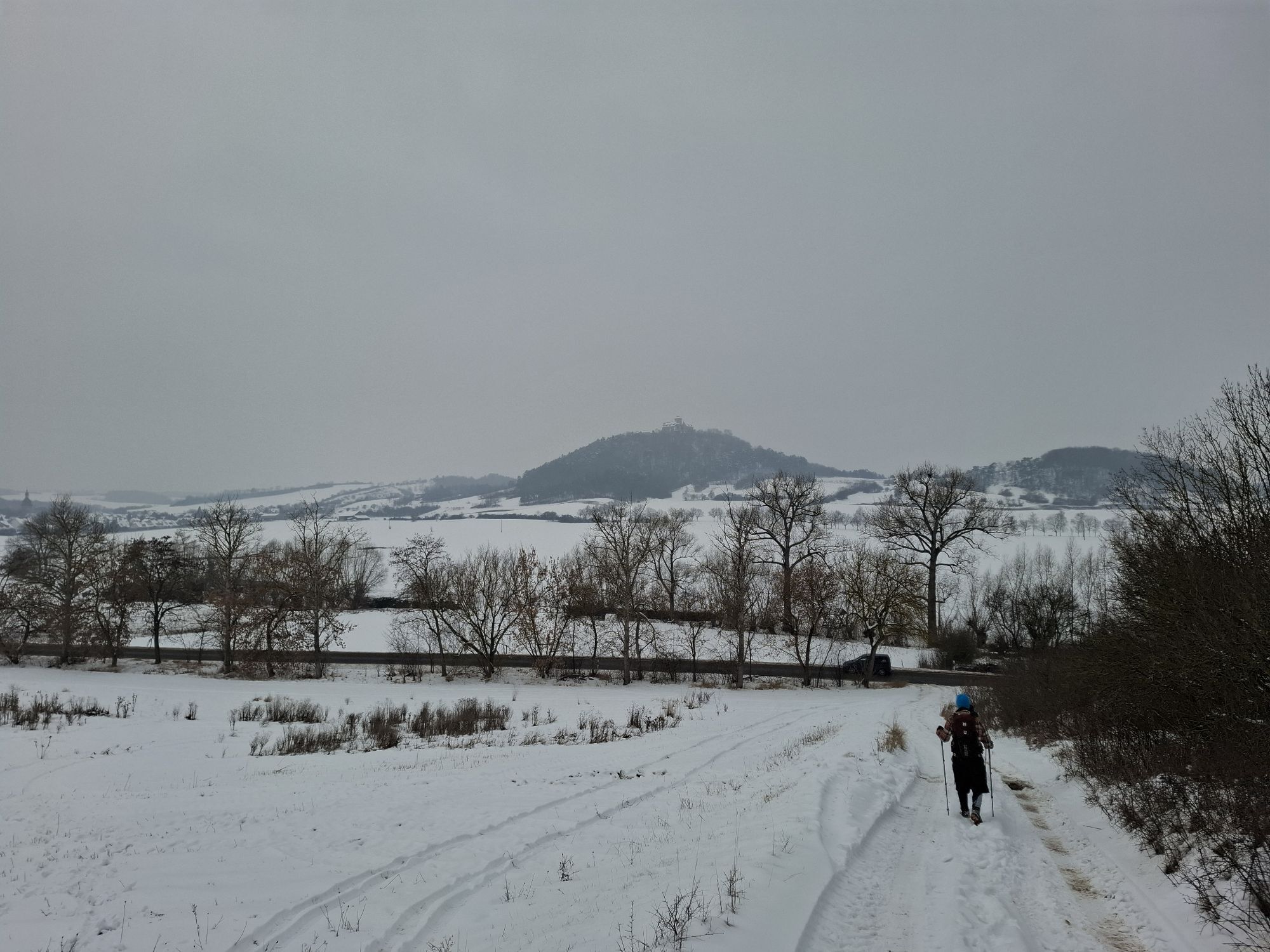
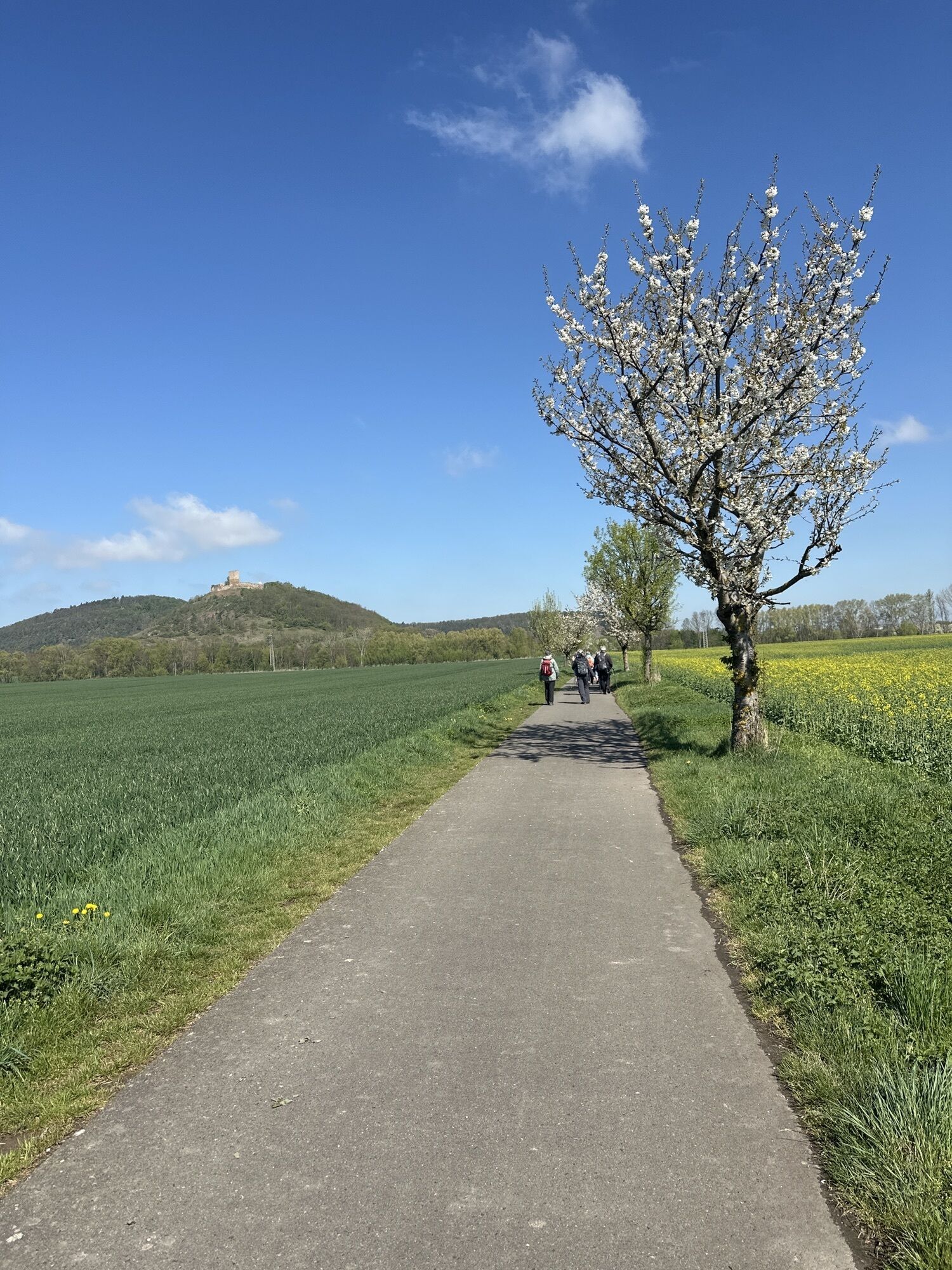
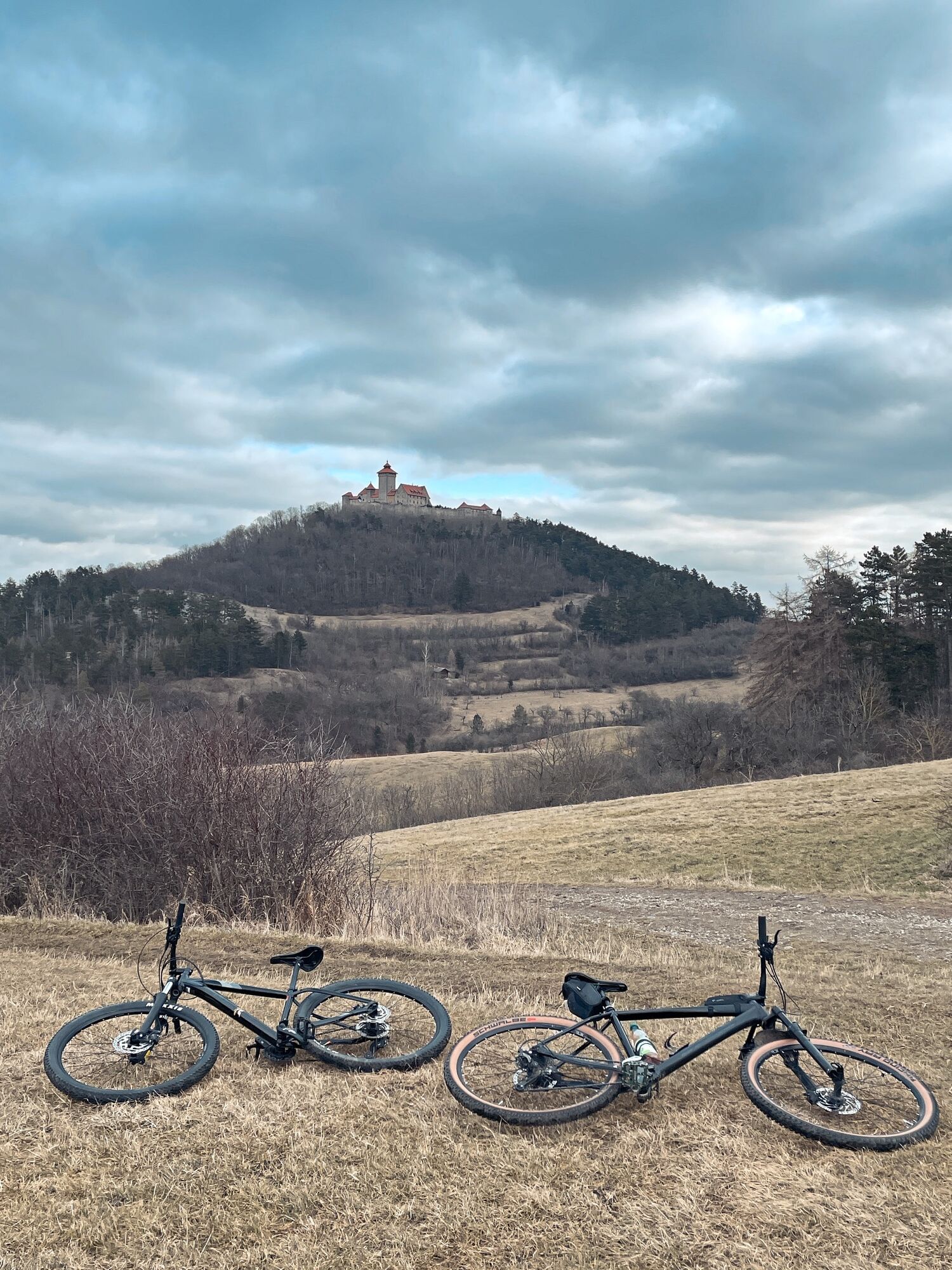
GeoRoute 3 - "Castle Route" - UNESCO Global Geopark Thuringia Inselsberg - Drei Gleichen
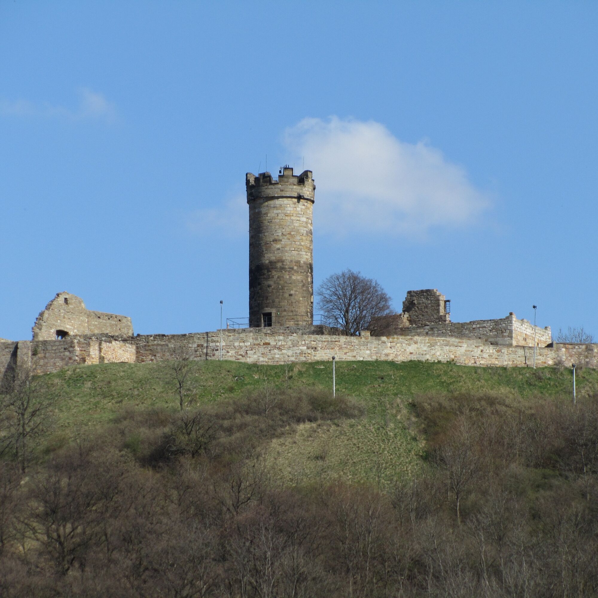
Although they were built in different centuries and do not look alike, they most likely owe their name to one of the countless legends and myths about the castles. According to this, in May 1231 a severe...
Although they were built in different centuries and do not look alike, they most likely owe their name to one of the countless legends and myths about the castles. According to this, in May 1231 a severe storm swept over this gentle hilly landscape. Suddenly, three terrible lightning bolts struck all three castles (according to other accounts, it was only a single (ball) lightning). The castles went up in flames, so it seemed as if three huge torches were blazing on the three hills. And ever since, so the legend says, the people called the castles and the surrounding land only the “Three Gleichen.”
Legends about devastating fires, cruel robber knights, kidnapped king’s daughters or medieval bigamy surround the three castles. At the same time, they "watch" over an exciting piece of earth history from over 200 million years ago. Back then, the first large dinosaurs, such as the six-meter-long “Franconian Lindwurm” Plateosaurus engelhardti, roamed the area of today’s Drei Gleichen. This is evidenced by fossil finds (bones, teeth) in the so-called Hasenwinkel at Kallenberg, near Burg Gleichen. A replica of this herbivore can be seen along the Dinosaur Adventure Path (GeoRoute 6). Although the Thuringian castle land is known for its gentle and romantic landscape, it also has its rough sides. These are the badlands, large nearly vegetation-free red and green-gray slopes made of clay and marl stones on the south side of all three castle hills. They are very nutrient-poor, so only grass and steppe landscapes can form here, which in turn provide the natural basis for special animal and plant life. Badlands are a very rare landscape type in Germany.

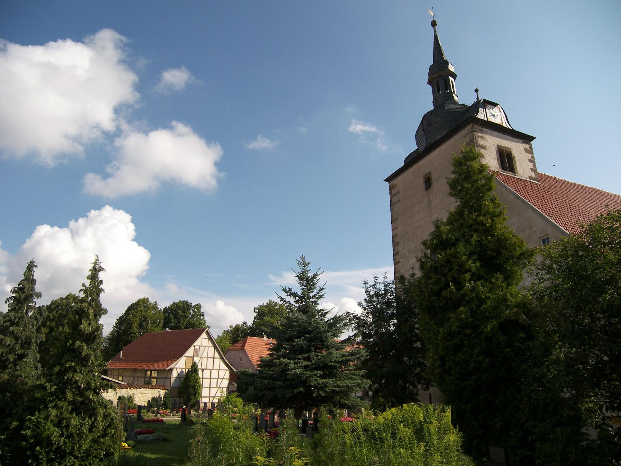


Mühlberg - Mühlburg - Wachsenburg - Holzhausen - Bittstädt - Arnstadt - Wachsenburg community - Ruin Burg Drei Gleichen - Mühlberg
Tak
- sturdy footwear
- rain clothing
- first aid kit
- GPS navigation device or smartphone
Be aware of the typical dangers of the forest!
Walking is at your own risk!
We wish you a relaxing and adventurous hike!
Arrival by train: Wandersleben Station or Haarhausen Station. Timetable information: www.bahn.de
Arrival by bus: Bus lines 870, 871, 354 with bus stops in Mühlberg and Röhrensee
Timetable information: www.vmt-thueringen.de , www.rbarnstadt.de
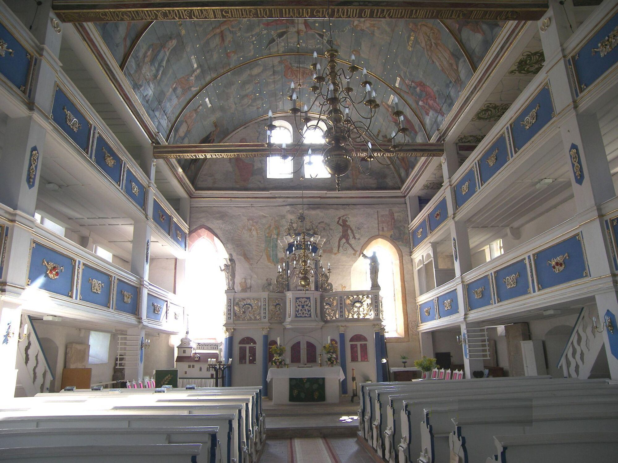
Tourist Information and GeoInfo Center Kulturscheune Mühlberg
Thomas-Müntzer-Str. 4
99869 Drei Gleichen, OT Mühlberg
Tel. & Fax: 036256-22846
E-Mail: touristinfo-kulturscheune@drei-gleichen.de
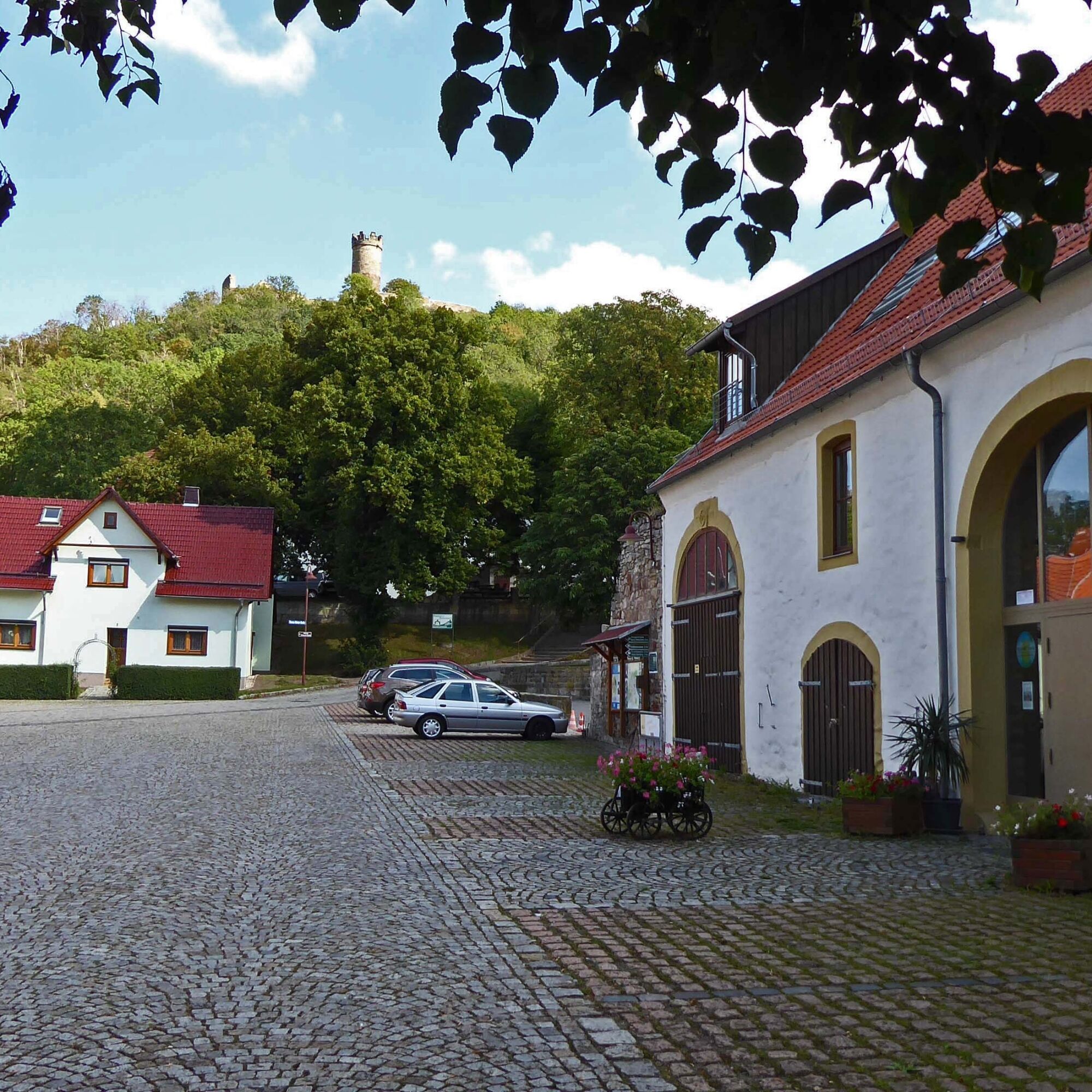
Burg Gleichen
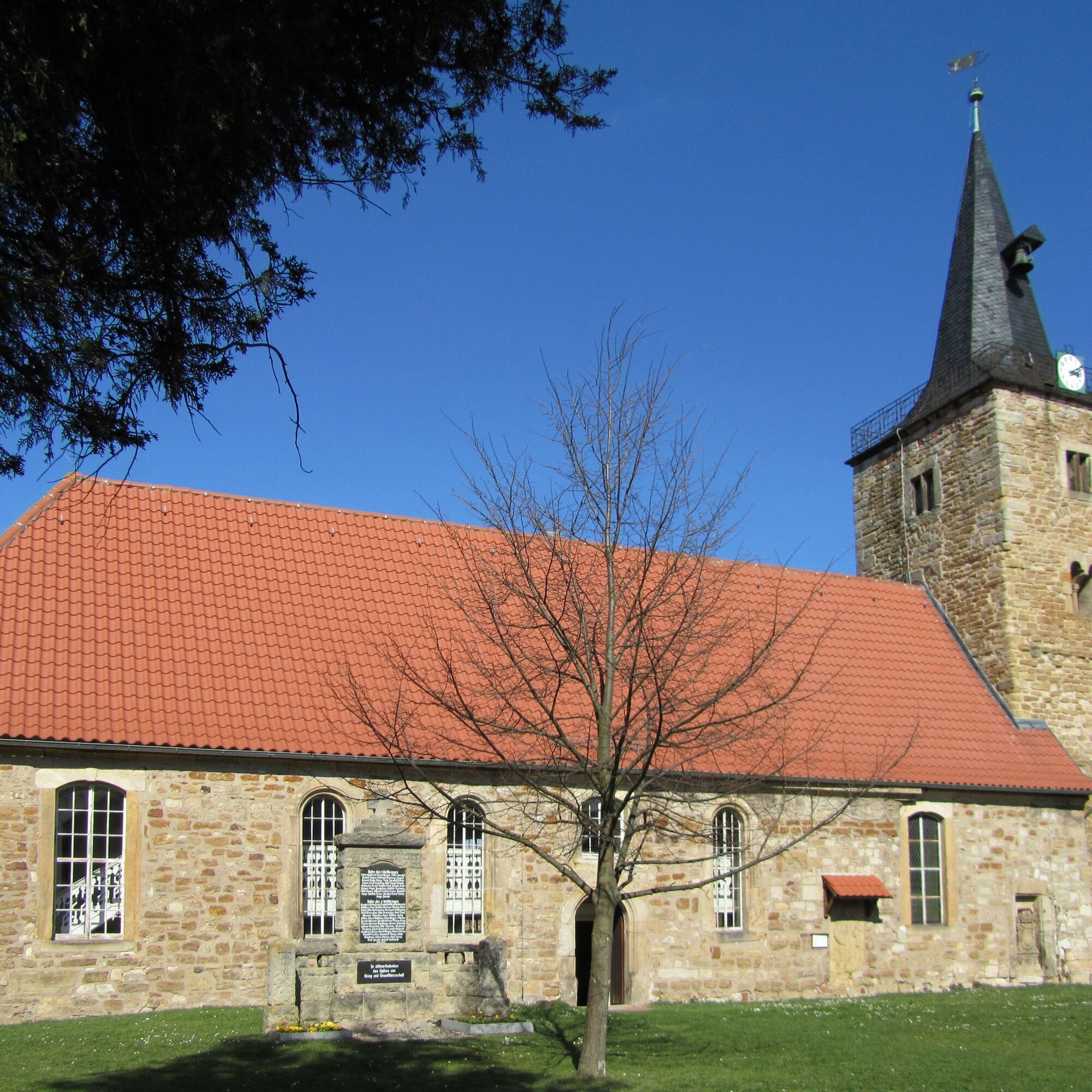
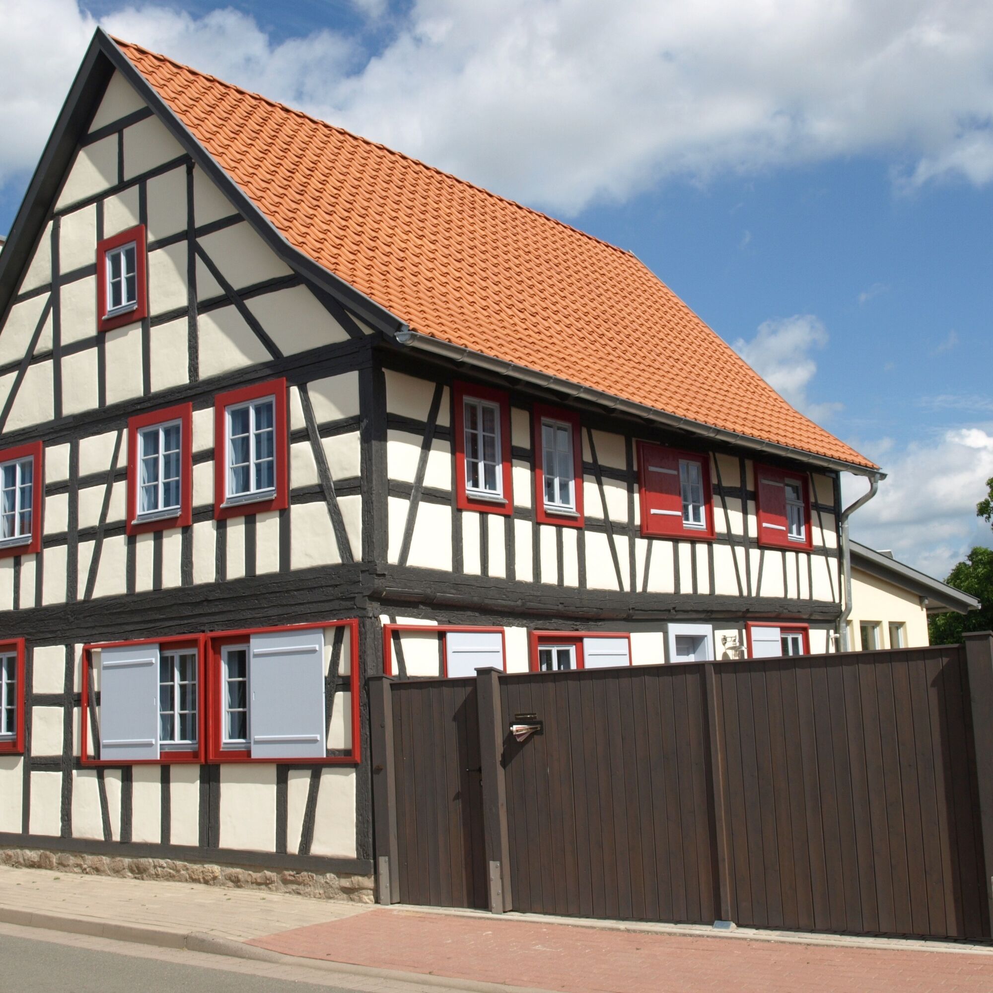
Mühlberg: Mühlburg
Holzhausen: Veste Wachsenburg
Popularne wycieczki w okolicy
- 4,0
Arnstadt - Bittstadt - Holzhausen - Haarhausen
średniWędrówka 20,1 km - 4,0
Bach-Rad-Erlebnisroute
średniJazda na rowerze 64,5 km „Auf den Spuren starker Frauen" - Pilgern in Thüringen
średniTrasa pielgrzymki 54 km„Von Bach zu Goethe"
średniWędrówka 32 kmCircular hiking trail - Arnstadt - Jungfernsprung - Alteburg
średniWędrówka 10,7 km- 5,0
Grafen cycle route Drei Gleichen – circular route – Mühlberg
światłoJazda na rowerze 21,1 km - 5,0
Kleinbreitenbach Art Walking Route
światłoTrasa tematyczna 2,88 km - 3,0
Circular hiking route - "Walter Schütz" - Ohrdruf - Thuringian Forest
średniWędrówka 12,0 km Hike - "From Bach to Goethe" - From Arnstadt to Ilmenau - Thuringian Forest
ciężkiWędrówka 24,7 km- 5,0
Rundwanderweg - "Gräfenhainer Runde" - Thüringer Wald
światłoWędrówka 6,50 km

Wędrówki i tropienie


Nie przegap ofert i inspiracji na następne wakacje
Twój adres e-mail została dodana do listy mailingowej.