


Circular hiking trail - Arnstadt - Jungfernsprung - Alteburg
Poziom trudności: T1
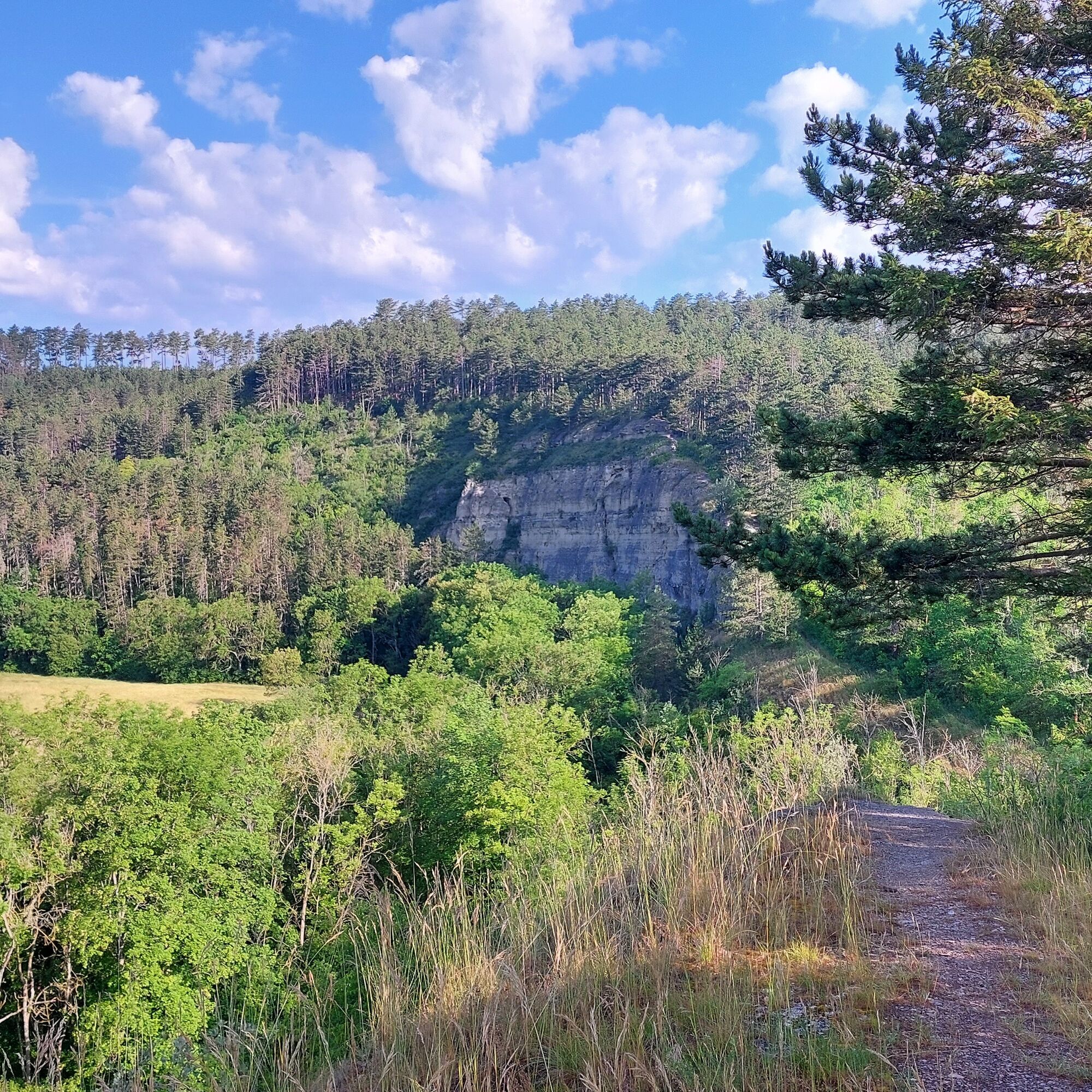
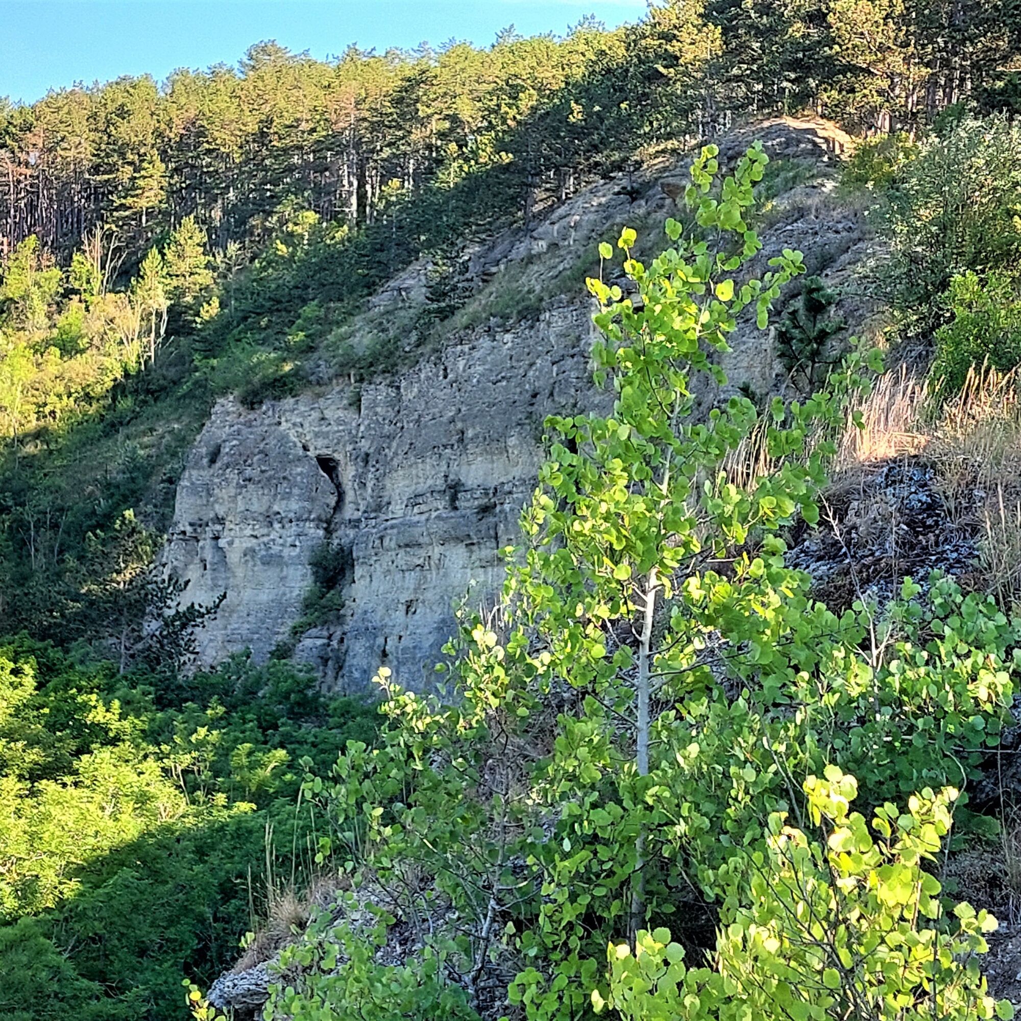
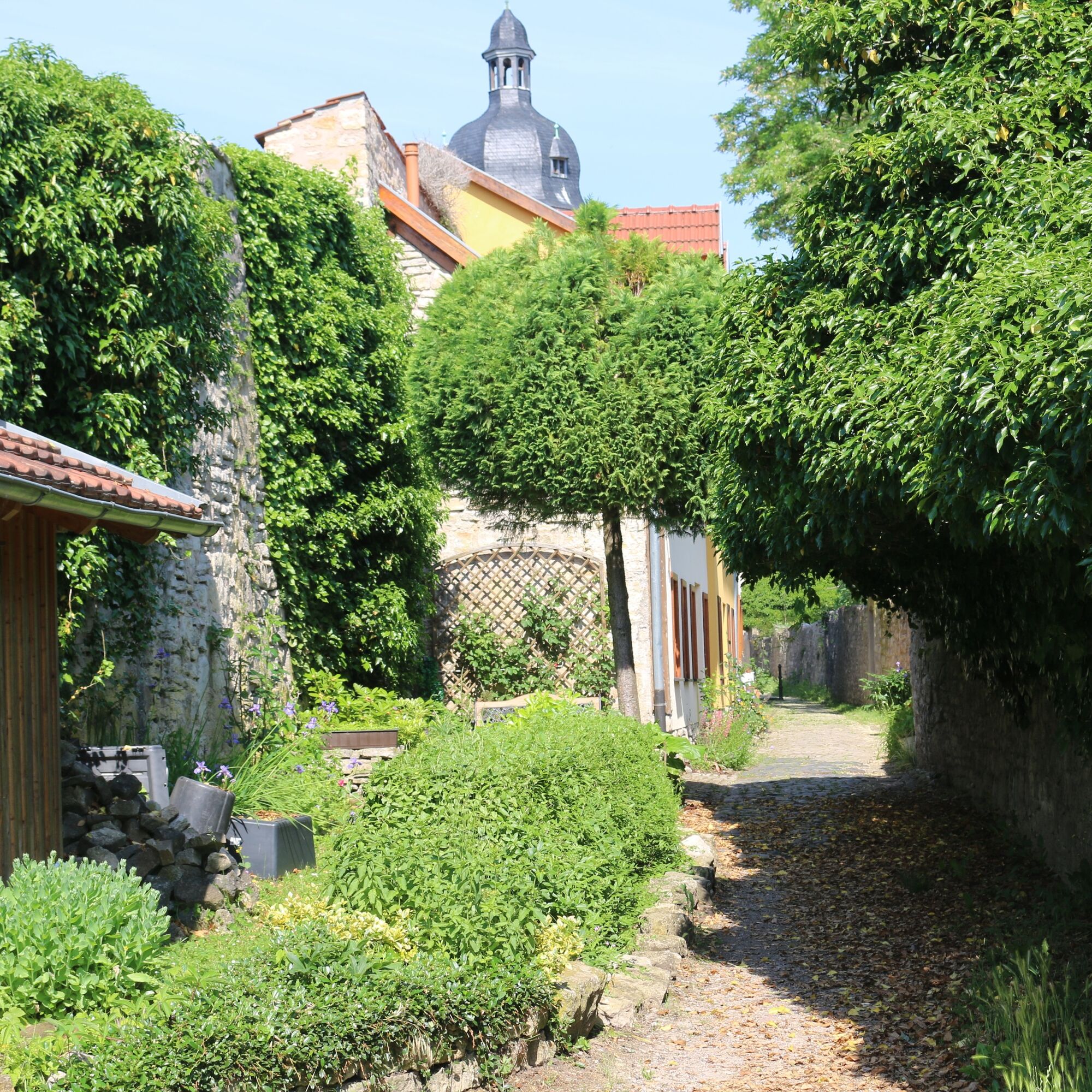
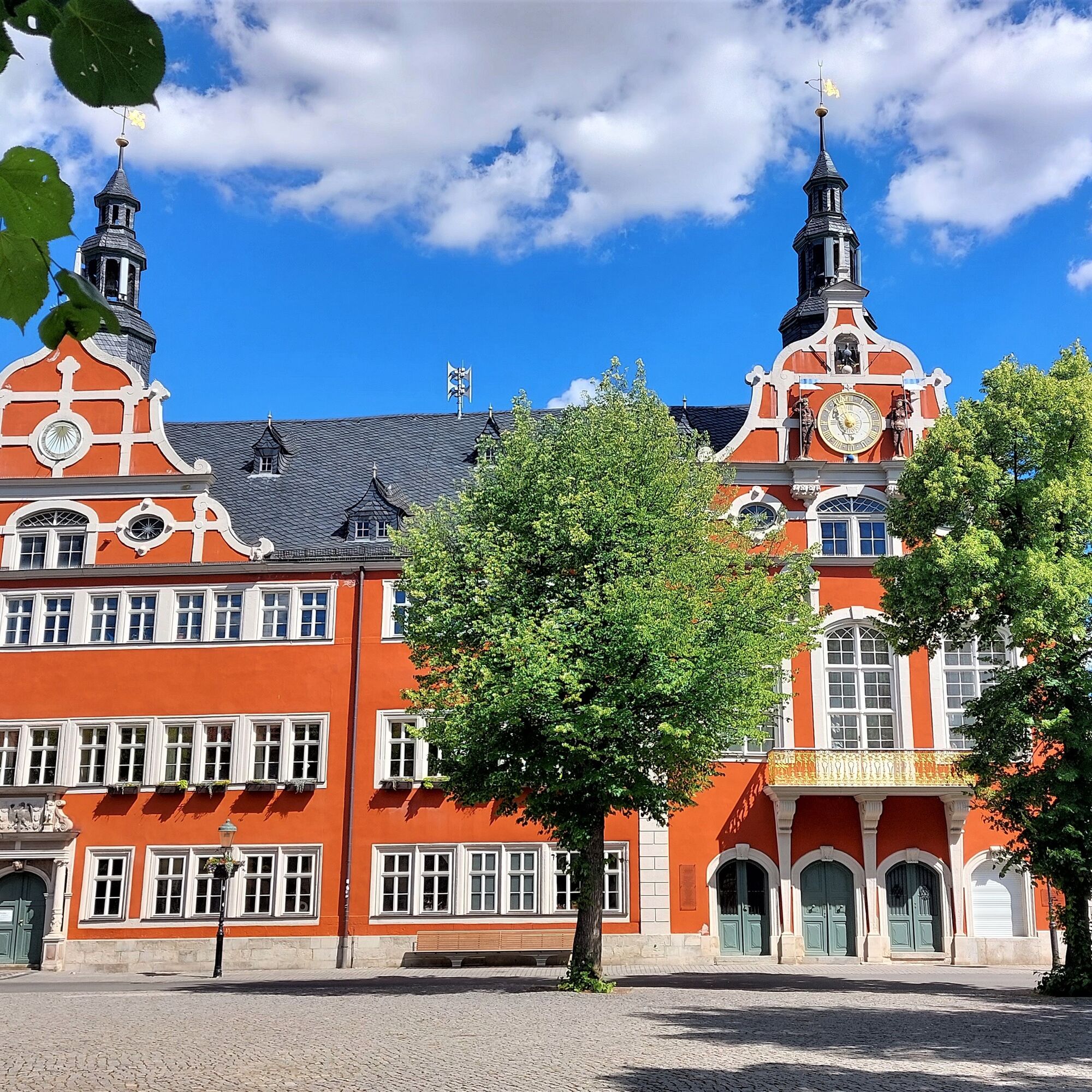
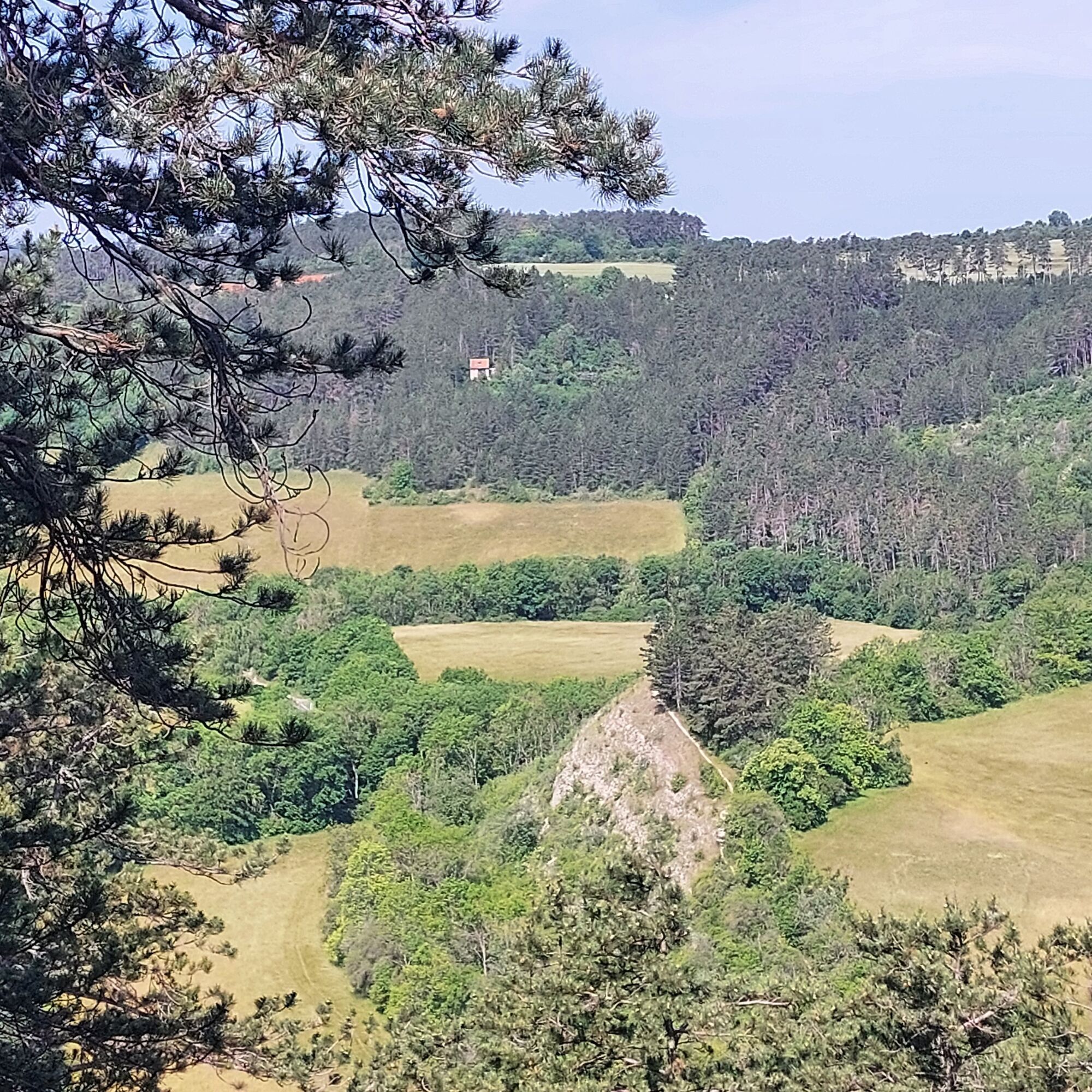
The route begins at the historic market square of Arnstadt and passes the Liebfrauenkirche to the streambed of the Wilde Weiße. The valley is left at the Jungfernsprung, an impressive scarp. At the mountain...
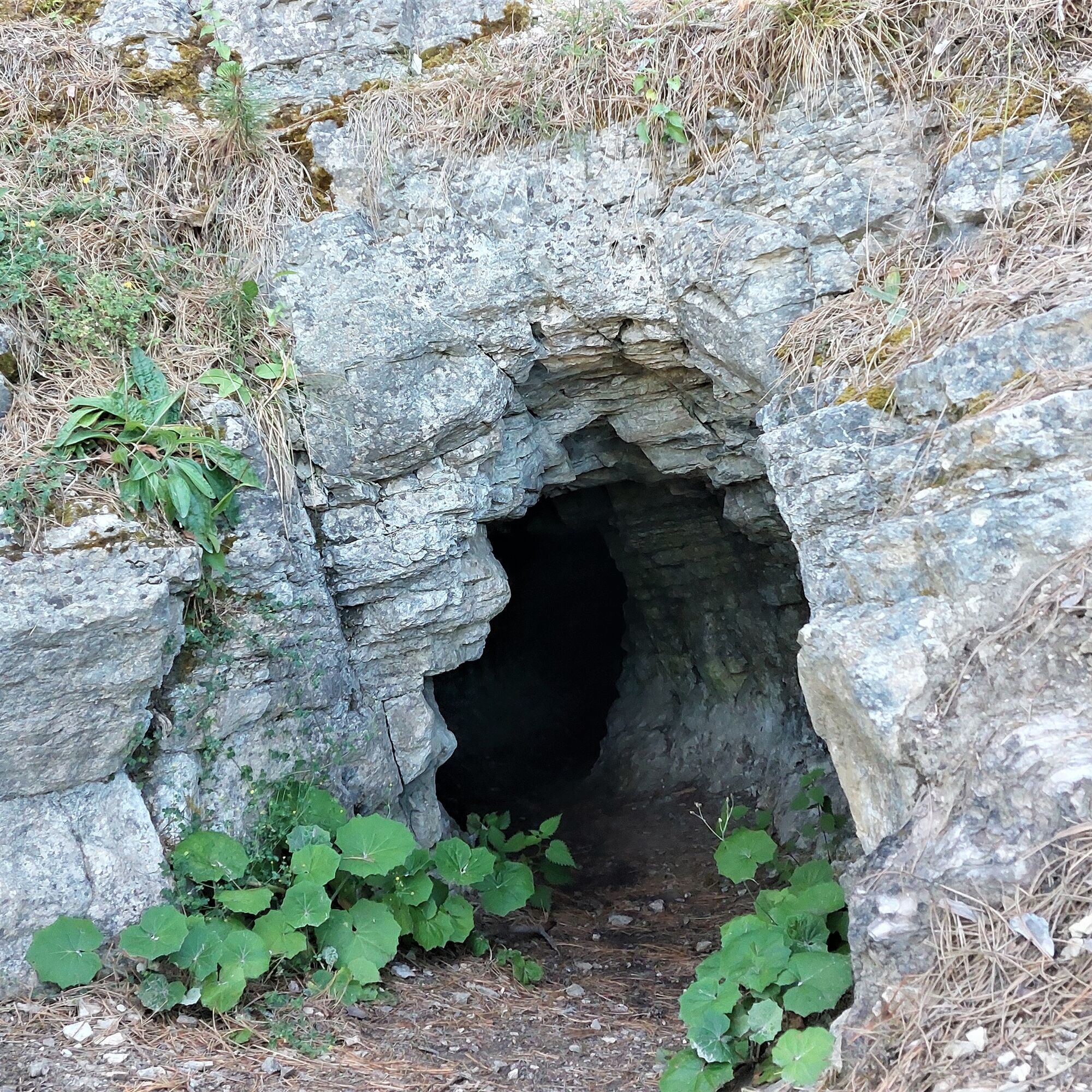
The route begins at the historic market square of Arnstadt and passes the Liebfrauenkirche to the streambed of the Wilde Weiße. The valley is left at the Jungfernsprung, an impressive scarp. At the mountain edge to the Jonastal, the path continues to the Böhlershöhle. This is a small karst cave where the Böhlersmännchen once lived.
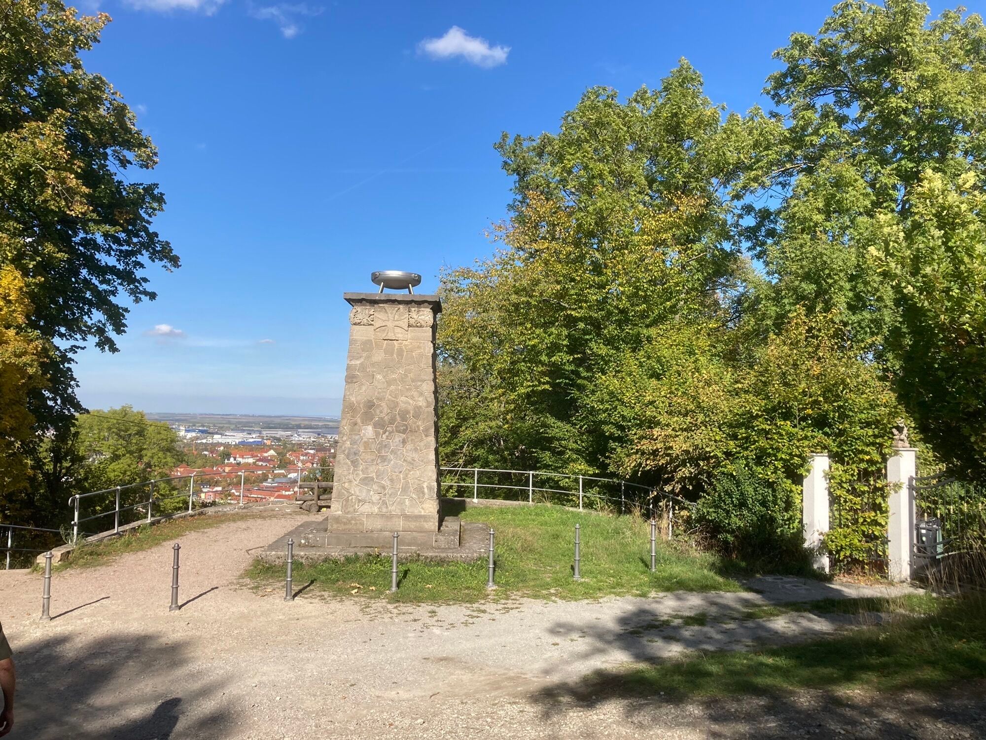
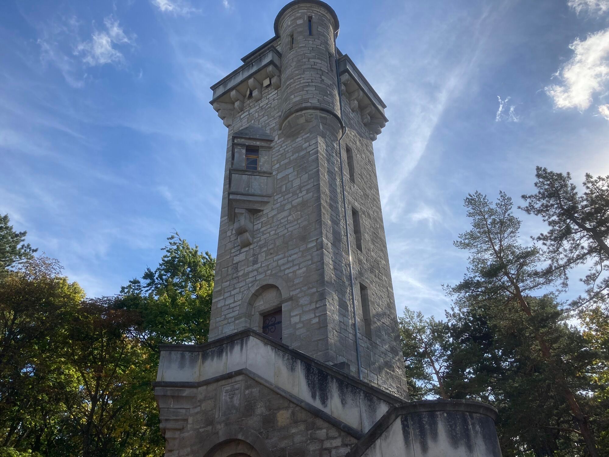
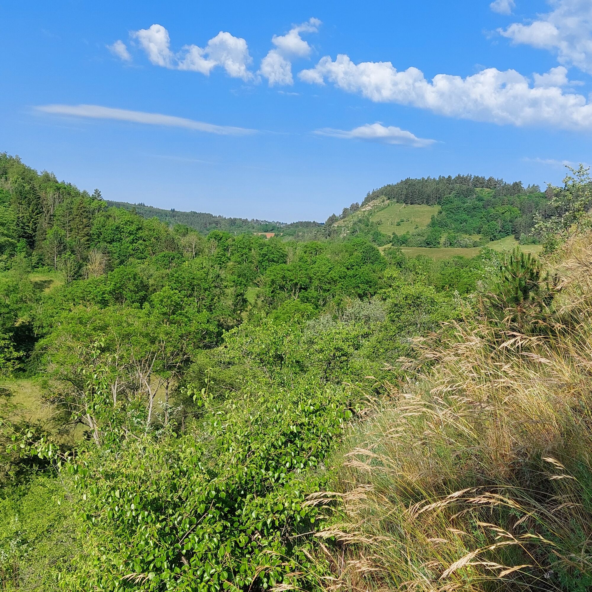
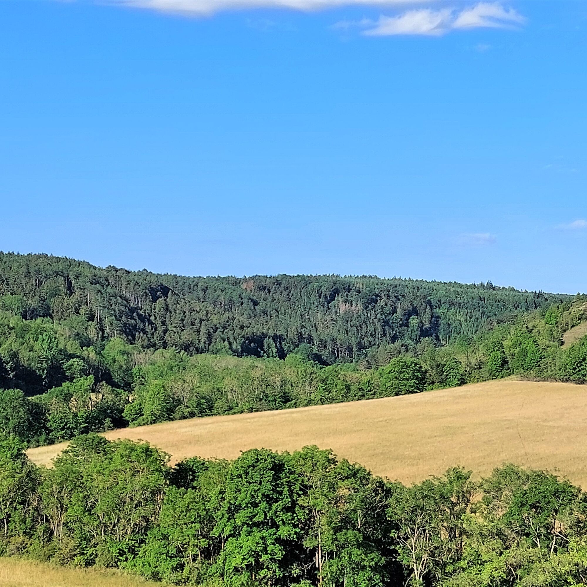
After crossing the Jonastal, it goes up to the Alteburg Plateau. Several small viewpoints, such as the Frankebank, the Königsstuhl, and the Felseck, are visited before reaching the Alteburg tower. Afterwards, the path leads downhill past the Hülsemann monument and the parsonage back to the starting point of the hike.
This hiking route has no signage and can only be walked using a smartphone app or GPS device.
The route was created by the Hiking and Leisure Association Arnstadt e.V..


Tak
Sturdy footwear; hiking poles are advantageous.
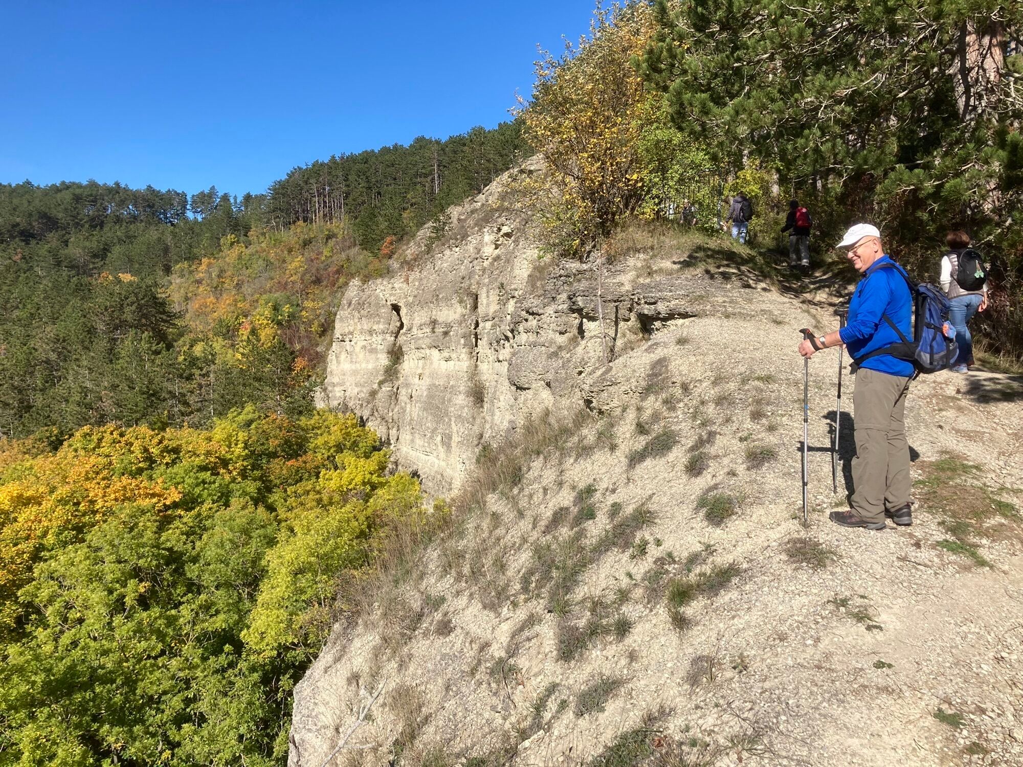
In the area of the Jungfernsprung, the Böhlersloch, and the Königsstuhl, surefootedness is required. Sturdy footwear is recommended.
Over half of the hiking route leads on natural paths/trails.
Arnstadt is located near the A4 and A71 motorways. There are several exits for the city on these motorways.
Arrival by train is possible via Arnstadt main station and Arnstadt-Süd station. The walk to the starting point of the hike is about 1.5 km.
The bus station is about 0.5 km from the start and end point.
There is no public parking directly at the starting point of the hike. The parking lots on "Krappgarten Street", "Schönbrunn Street", and "Unterm Markt" are at most 1 km from the starting point.
T1
The hiking trail is currently not marked/signposted. The hike can alternatively be guided by the Hiking and Leisure Association Arnstadt e.V.. GPS devices with a pre-installed route can be rented.
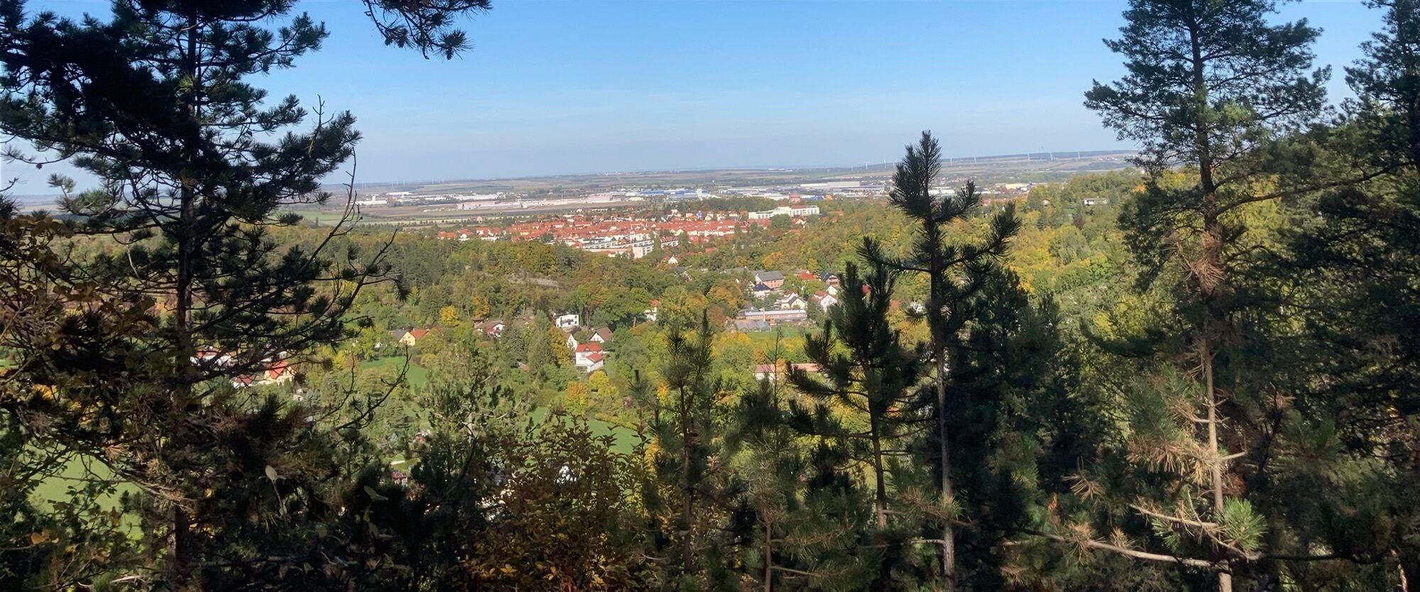
Scenic route with numerous distant views over Arnstadt, into the Drei-Gleichen area, as well as to the heights of the Thuringian Forest.
Popularne wycieczki w okolicy
- 4,4
Circular route - Around the Heyda Dam - Thuringian Forest
średniWędrówka 7,59 km - 4,0
Arnstadt - Bittstadt - Holzhausen - Haarhausen
średniWędrówka 20,1 km - 4,0
Bach-Rad-Erlebnisroute
średniJazda na rowerze 64,5 km „Auf den Spuren starker Frauen" - Pilgern in Thüringen
średniTrasa pielgrzymki 54 km„Von Bach zu Goethe"
średniWędrówka 32 km- 5,0
Rundwanderung Geschwenda, Gräfenroda, ausgebrannter Stein
średniWędrówka 18,2 km Bad Berka nach Oberhof
średniE-Bike 61,3 kmHeyda Über Felder zum See
Wędrówka 12,7 km- 5,0
Grafen cycle route Drei Gleichen – circular route – Mühlberg
światłoJazda na rowerze 21,1 km - 5,0
Kleinbreitenbach Art Walking Route
światłoTrasa tematyczna 2,88 km
Wędrówki i tropienie


Nie przegap ofert i inspiracji na następne wakacje
Twój adres e-mail została dodana do listy mailingowej.