






GeoRoute 11 - "Thuringian Raw Materials Trail" - UNESCO Global Geopark Thuringia Inselsberg - Drei Gleichen

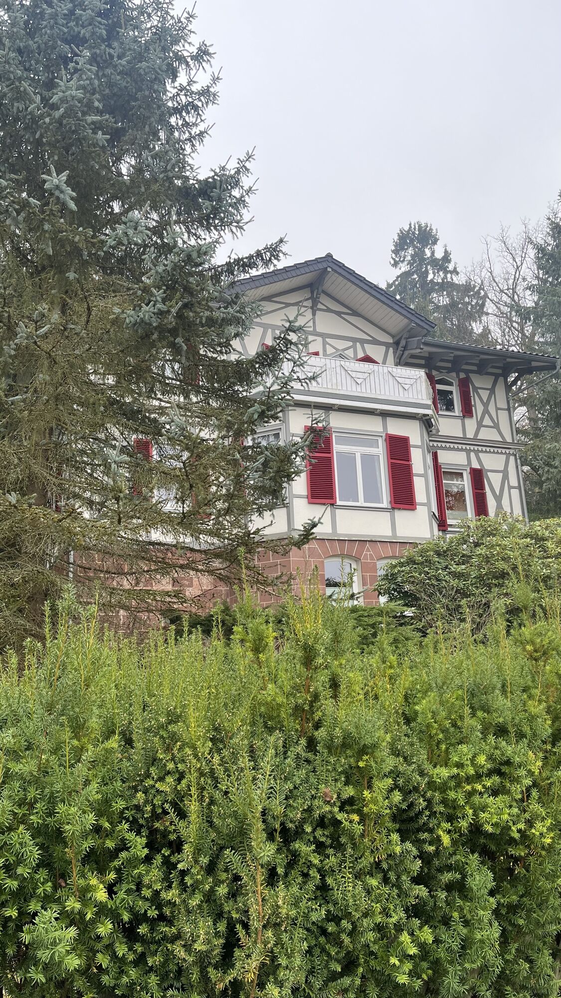
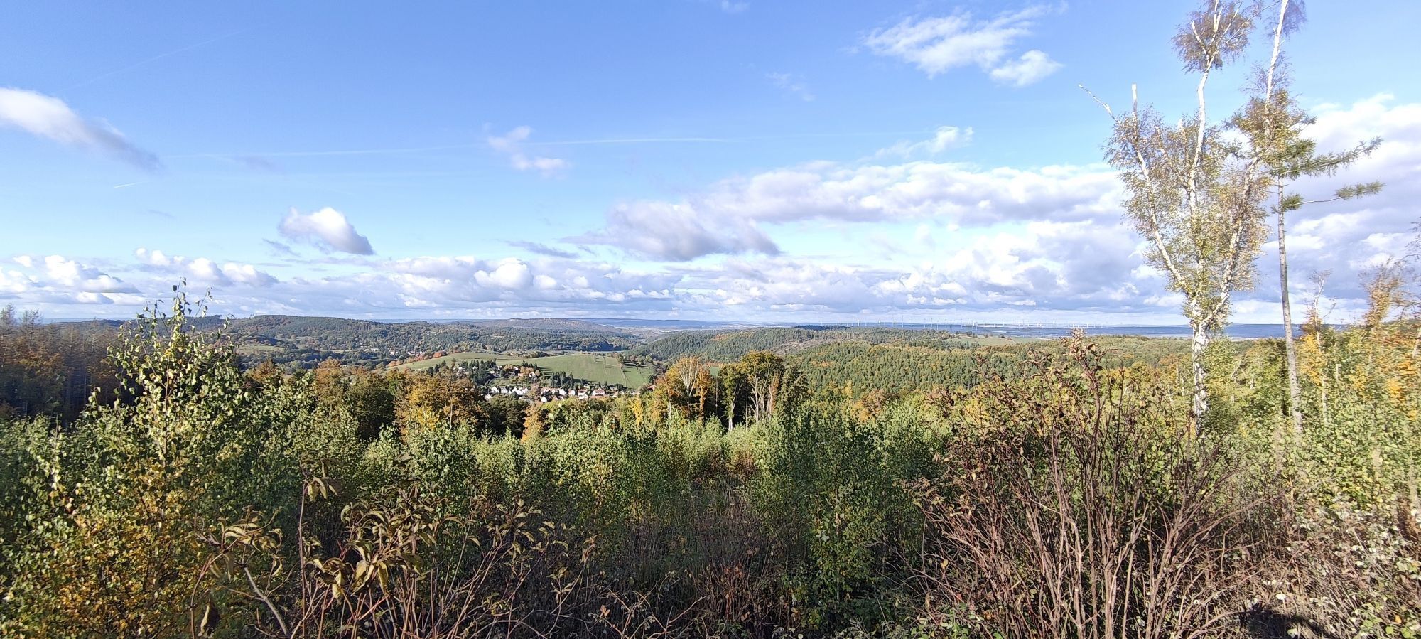
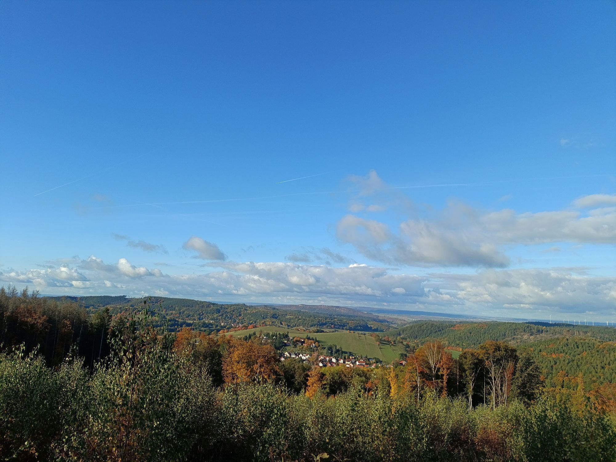
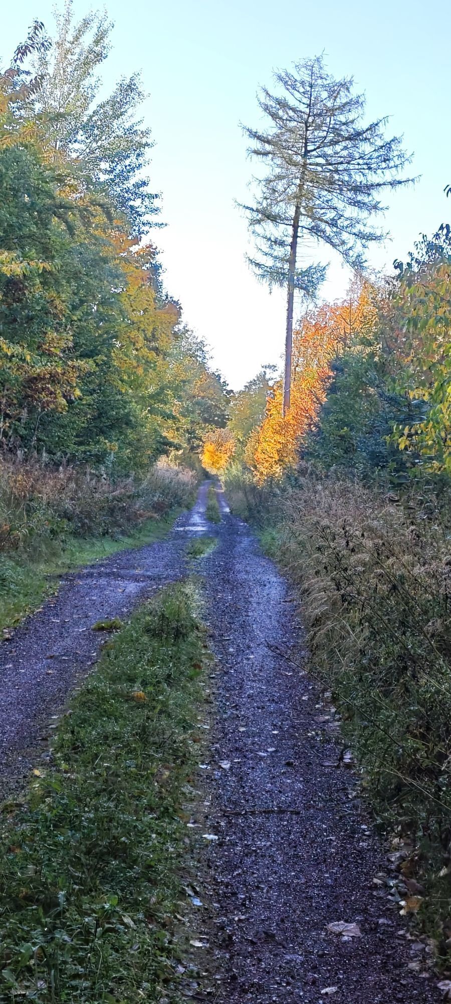
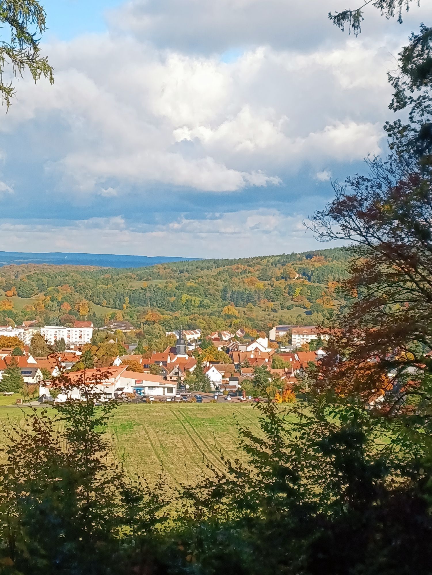
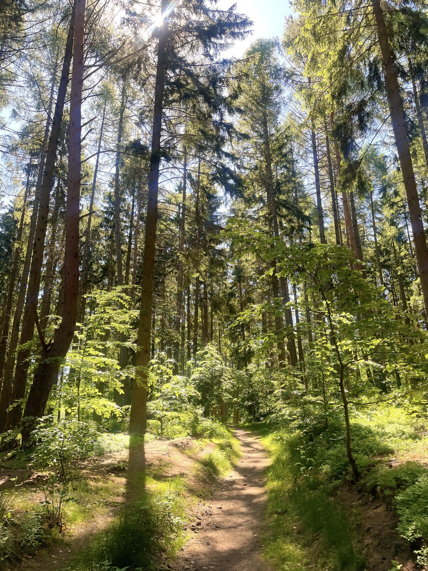
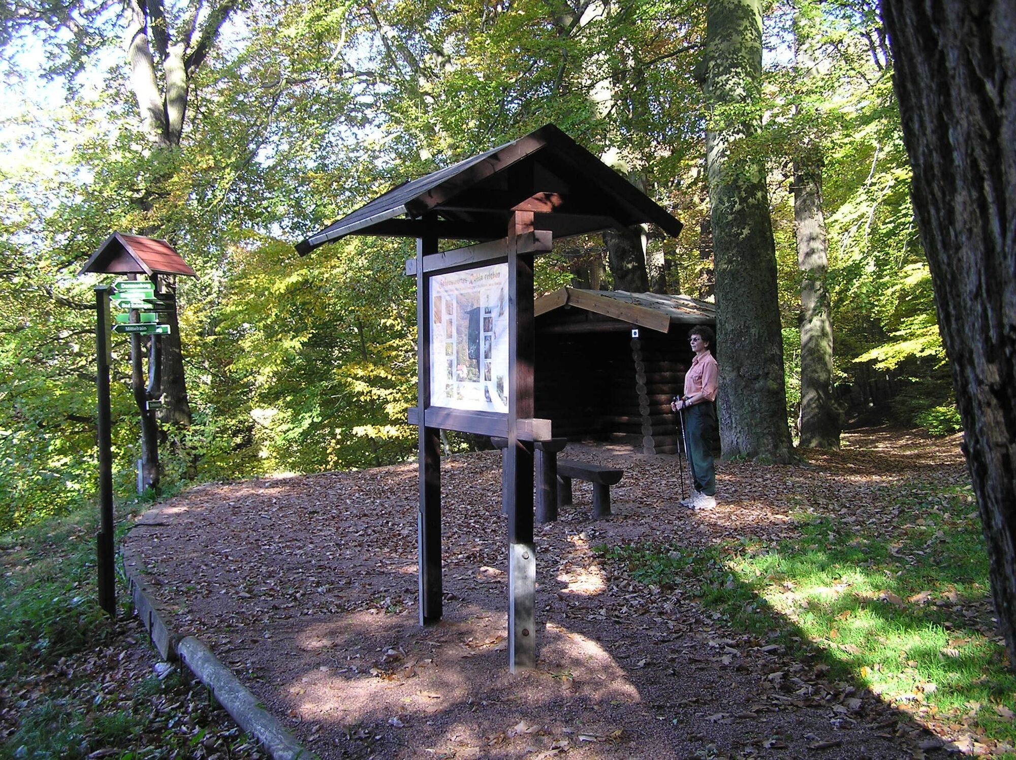
Some, such as sandstone, are still quarried today. Numerous overview and explanatory boards along the path provide information about the formation, occurrence, extraction, and use of the respective raw...
Some, such as sandstone, are still quarried today. Numerous overview and explanatory boards along the path provide information about the formation, occurrence, extraction, and use of the respective raw material (e.g., gypsum, coal, salt, or cobalt). By the way: Regarding the variety of once mined raw materials, the Thuringian Forest and the Ore Mountains hardly differed. However, the Saxon deposits were far more abundant than the Thuringian ones.

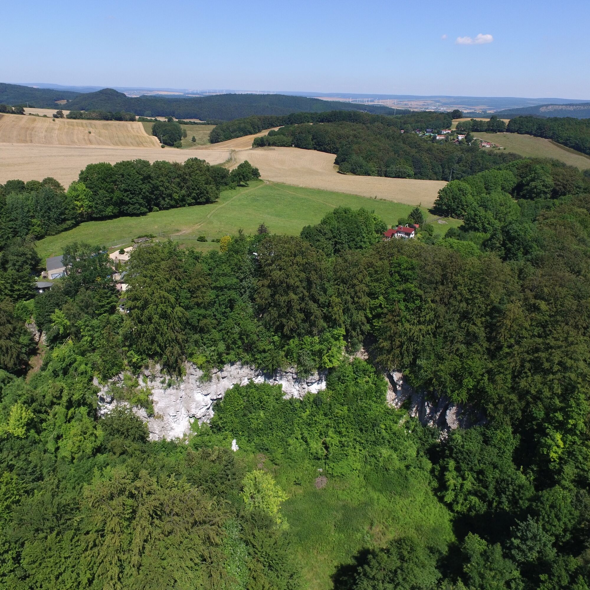
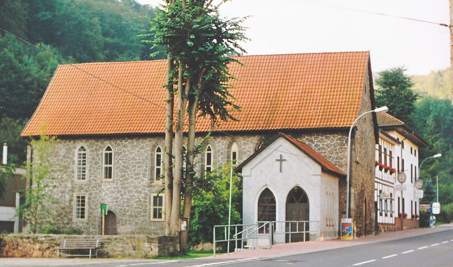
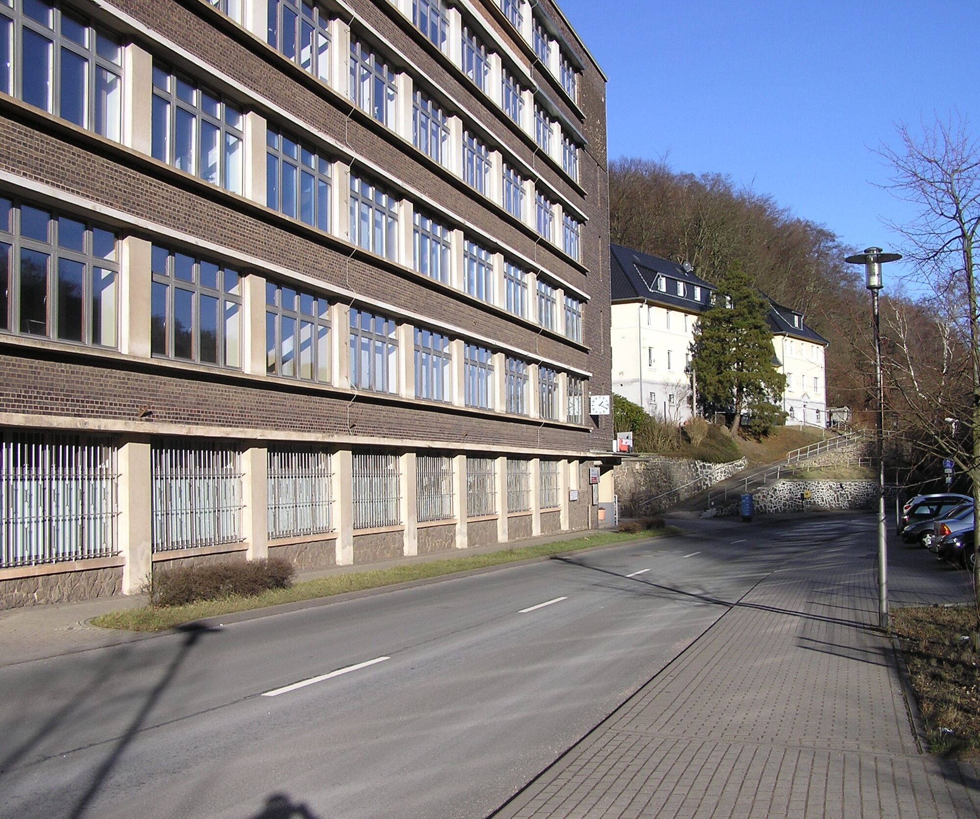
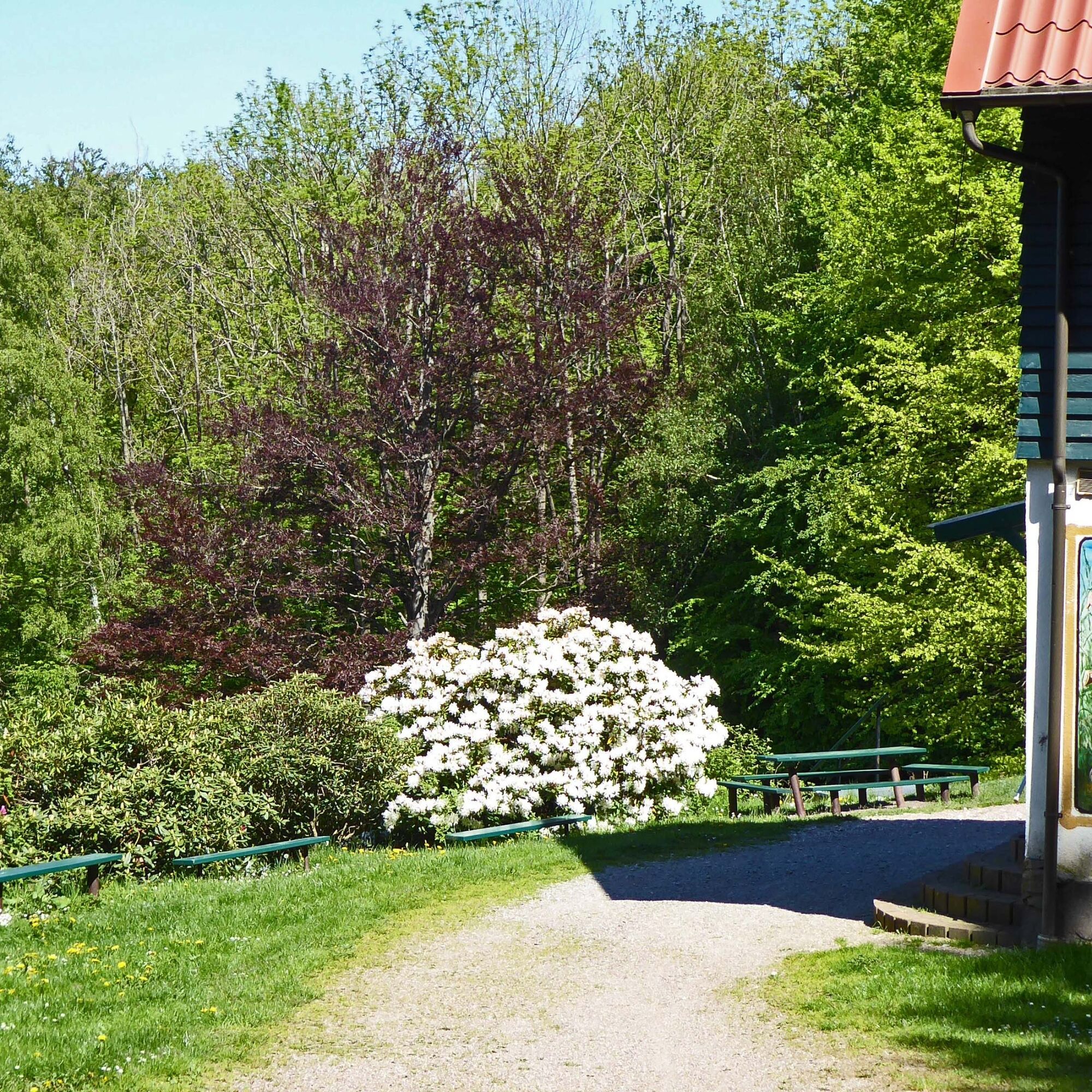
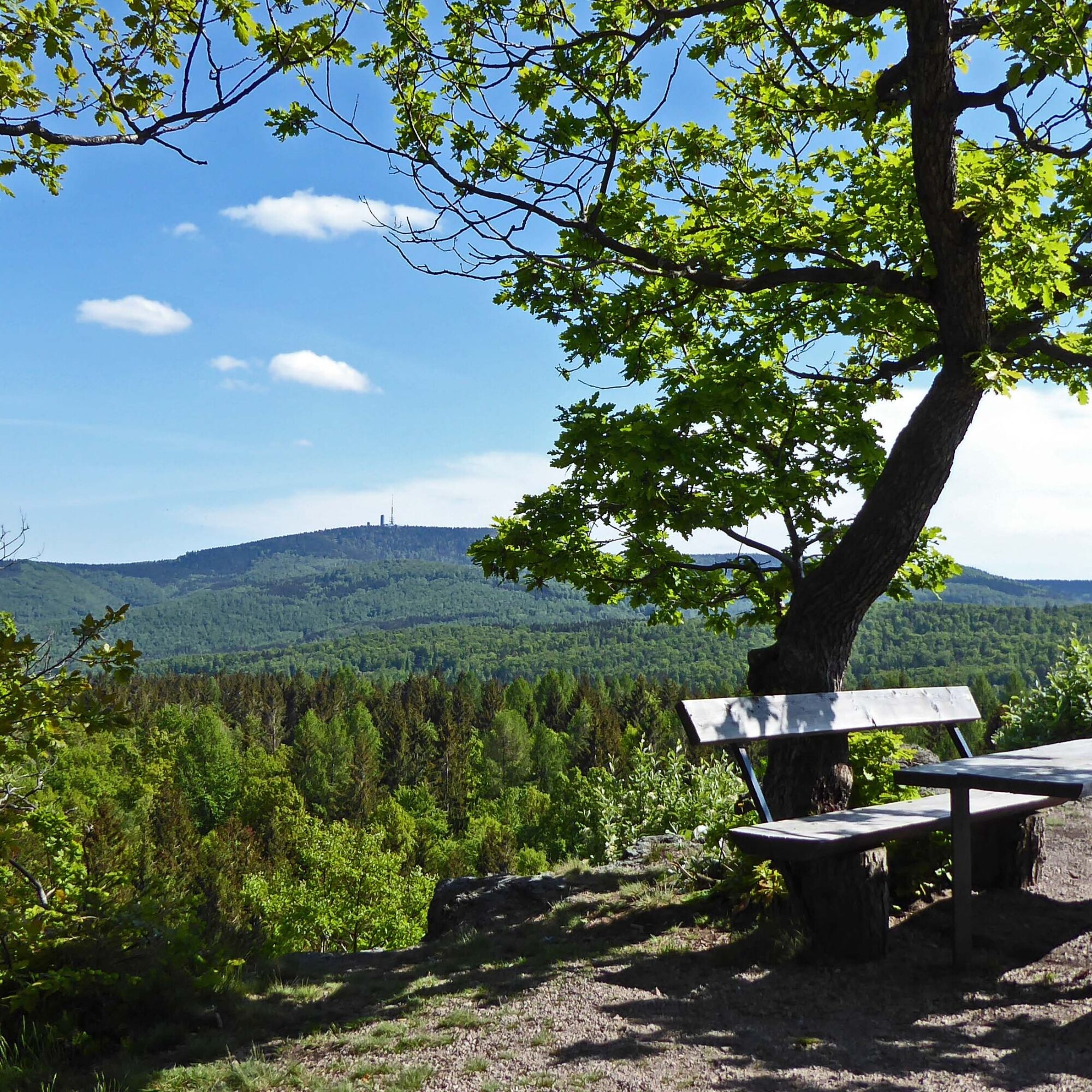
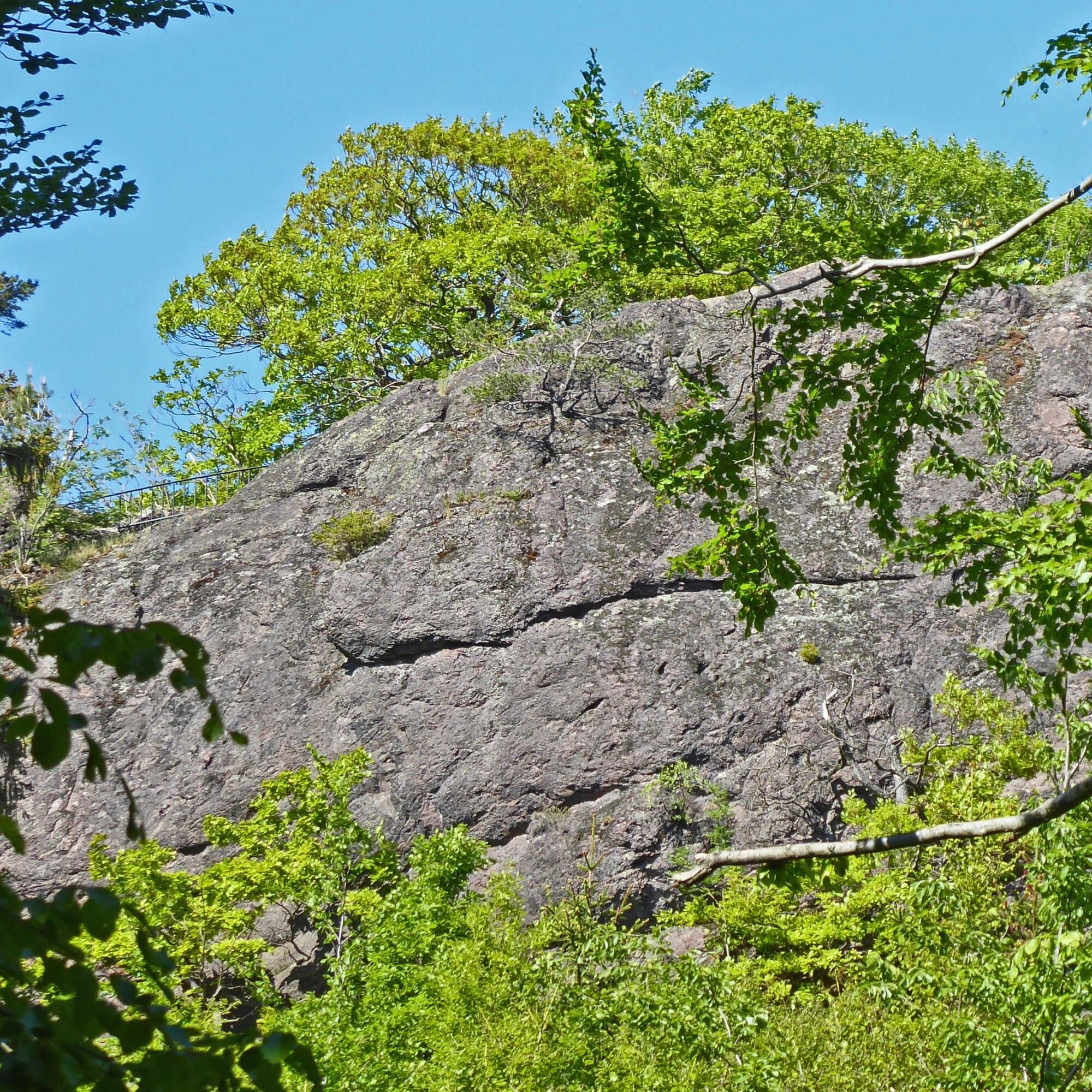
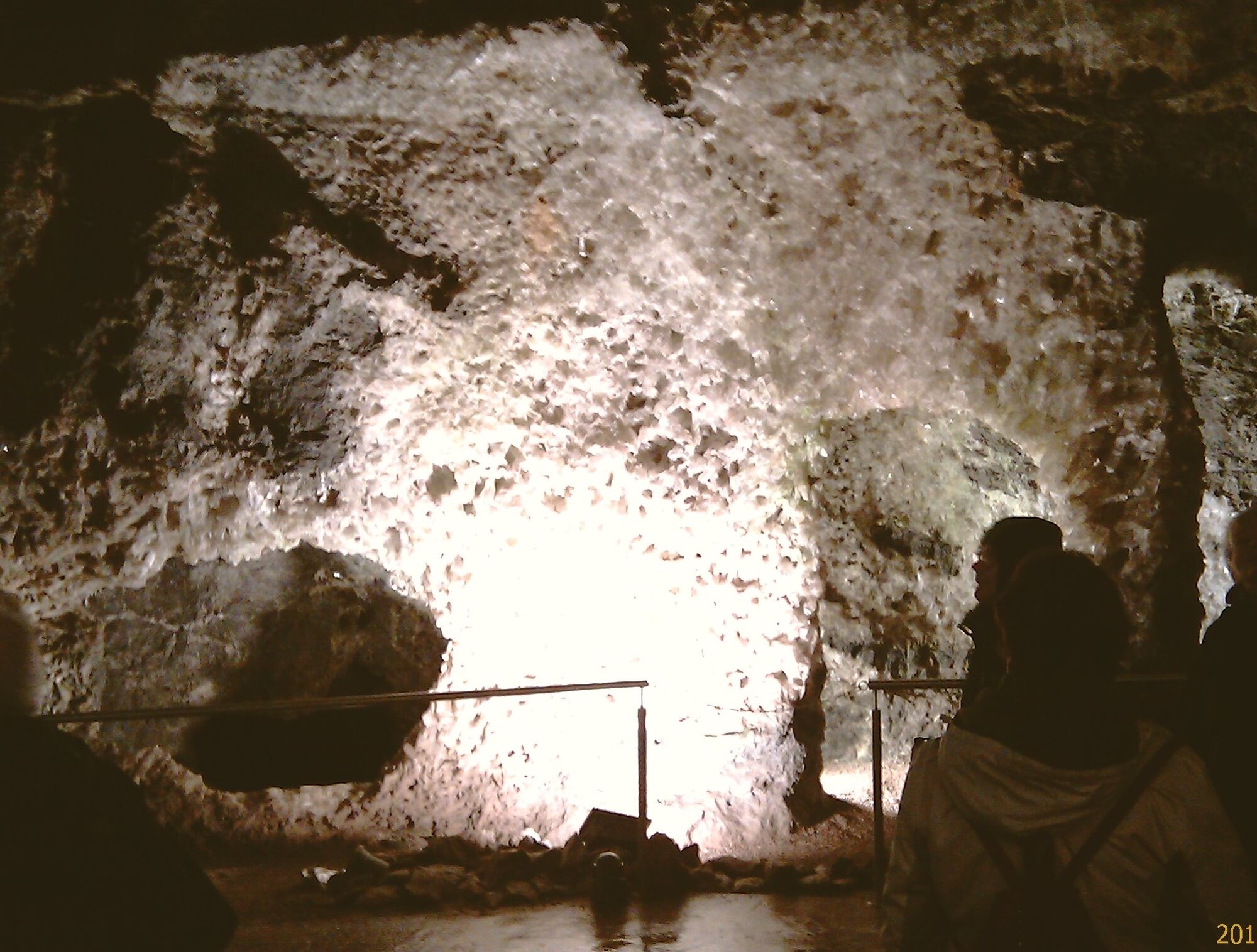
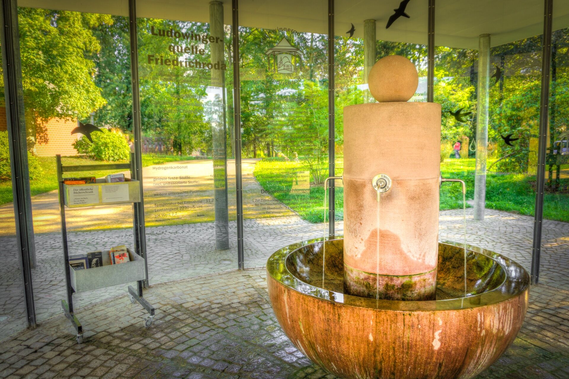

Ruhla, Schmerbach, Winterstein, Fischbach, Bad Tabarz, Friedrichroda, Engelsbach, Catterfeld, Georgenthal
Tak
- sturdy footwear
- rainwear
- first aid kit
- GPS navigation device or smartphone
Be aware of the typical dangers of the forest!
Entering is at your own risk!
We wish you a relaxing and eventful hike!
Tourist information & GeoInfo centers in Ruhla, Bad Tabarz, Friedrichroda, and GeoInfo point Georgenthal
and much more...
Kamery internetowe z trasy

Popularne wycieczki w okolicy
-
5,0
EA1 - Circular route - Gorge tour near Eisenach - Thuringian Forest
średniWędrówka 9,68 km -
4,6
Summit and panoramic route - Route 1 - Bad Tabarz
średniWędrówka 10,9 km -
4,4
Circular hike "Old Tambach Dam", Tambach-D., Thuringian Forest
średniWędrówka 8,33 km -
4,7
IVV PW + GTW "In Luther's footsteps - Luther, dragons, landgraves, rose miracle..."
średniWędrówka 15,8 km -
3,8
Wanderung zum Spitterfall
średniWędrówka 14,6 km -
Tabarzer Vulkansteig
średniWędrówka 9,91 km -
4,5
Circular hike - Legendary Hörselberge - Great Hörselberg near Eisenach - Thuringian Forest
średniWędrówka 10,6 km -
4,4
Circular hiking trail - "Trusetal Landmark Route" - Thuringian Forest
światłoWędrówka 4,02 km -
4,8
Inselsberg tour - Tour 2 - Bad Tabarz
ciężkiWędrówka 15,1 km -
3,7
Backofenloch circular route - route 6 - Bad Tabarz
średniWędrówka 7,04 km
Wędrówki i tropienie


Nie przegap ofert i inspiracji na następne wakacje
Twój adres e-mail została dodana do listy mailingowej.





