







Road bike route - "Goethe & Kehltal" - Thuringian Forest

Poziom trudności: 4
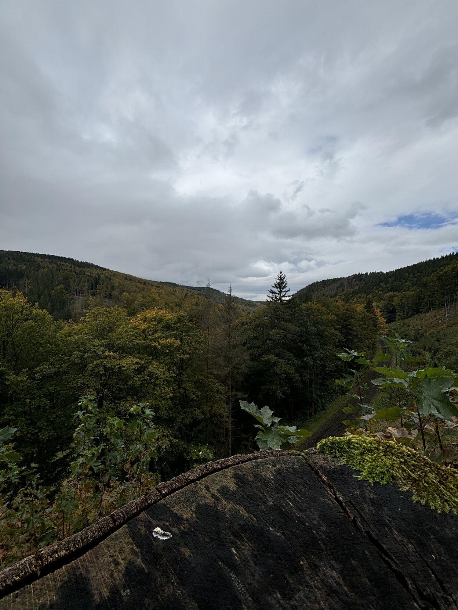
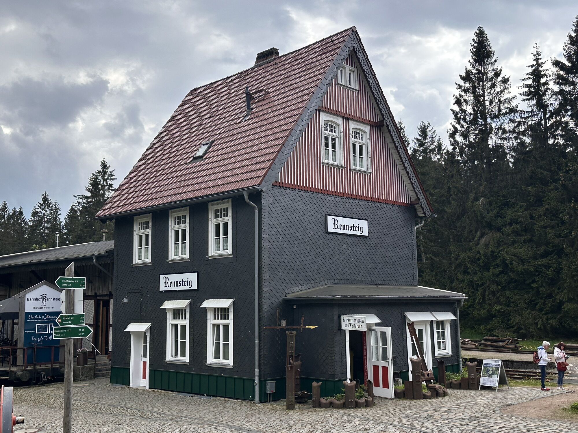
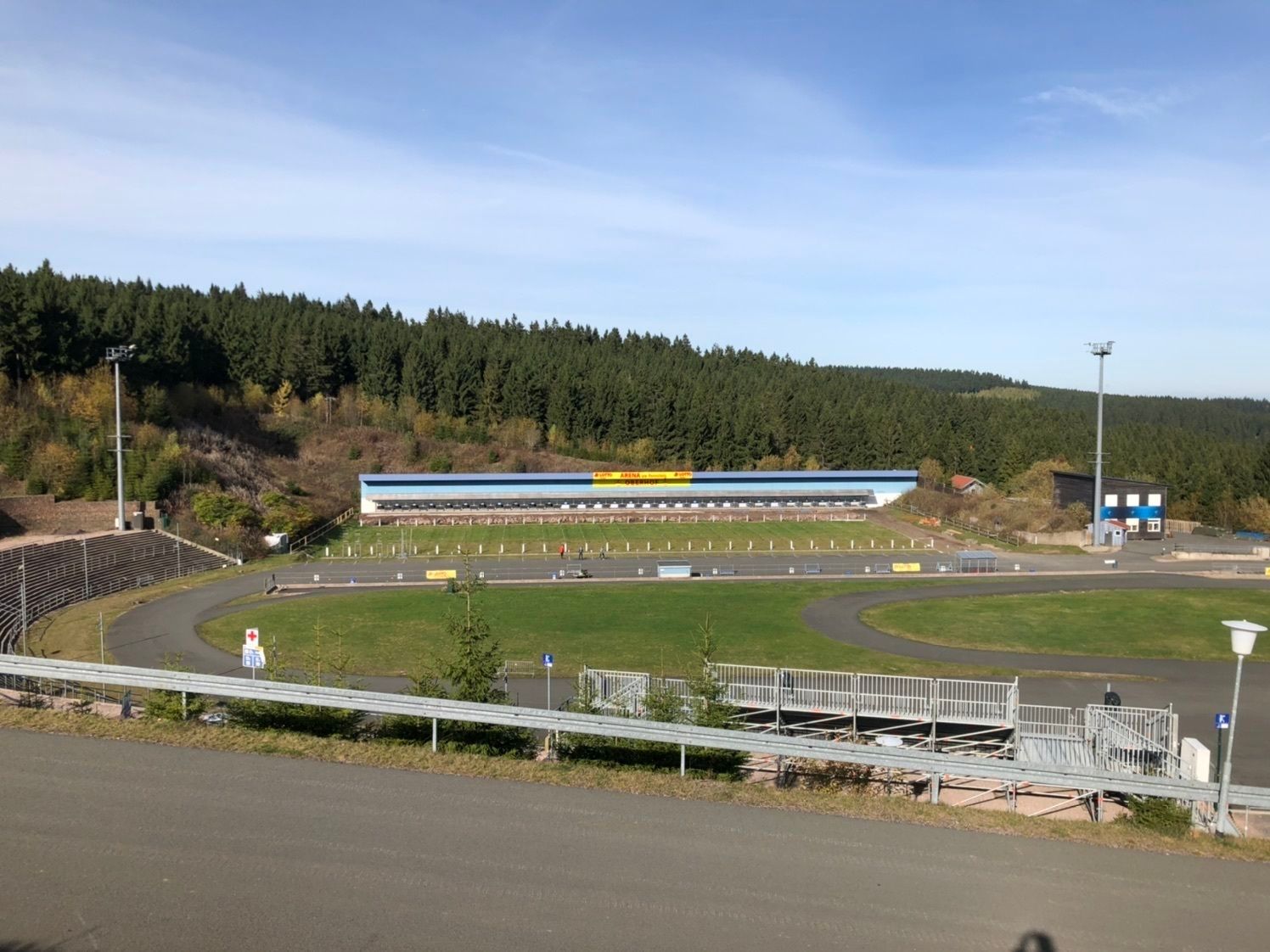
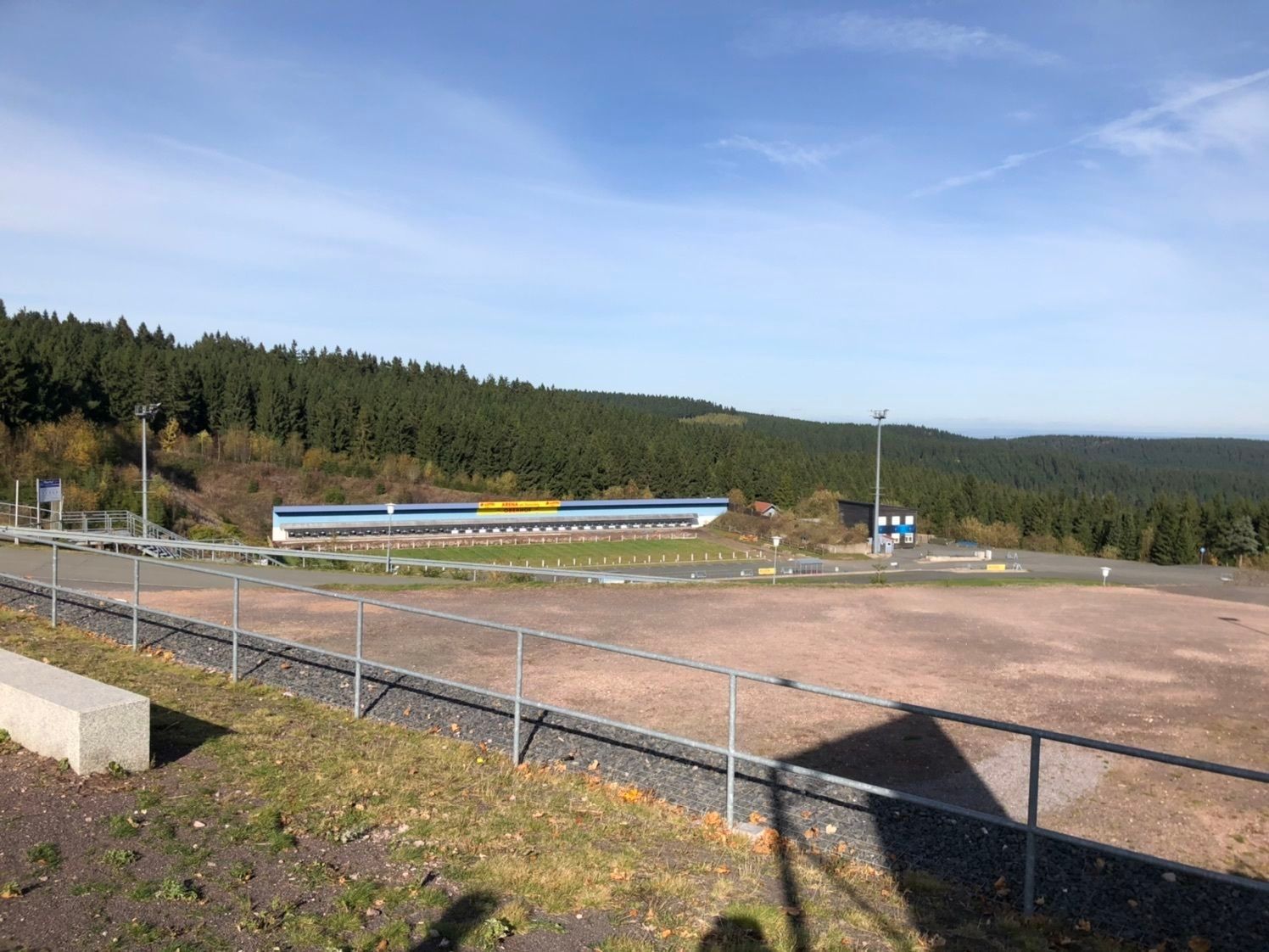
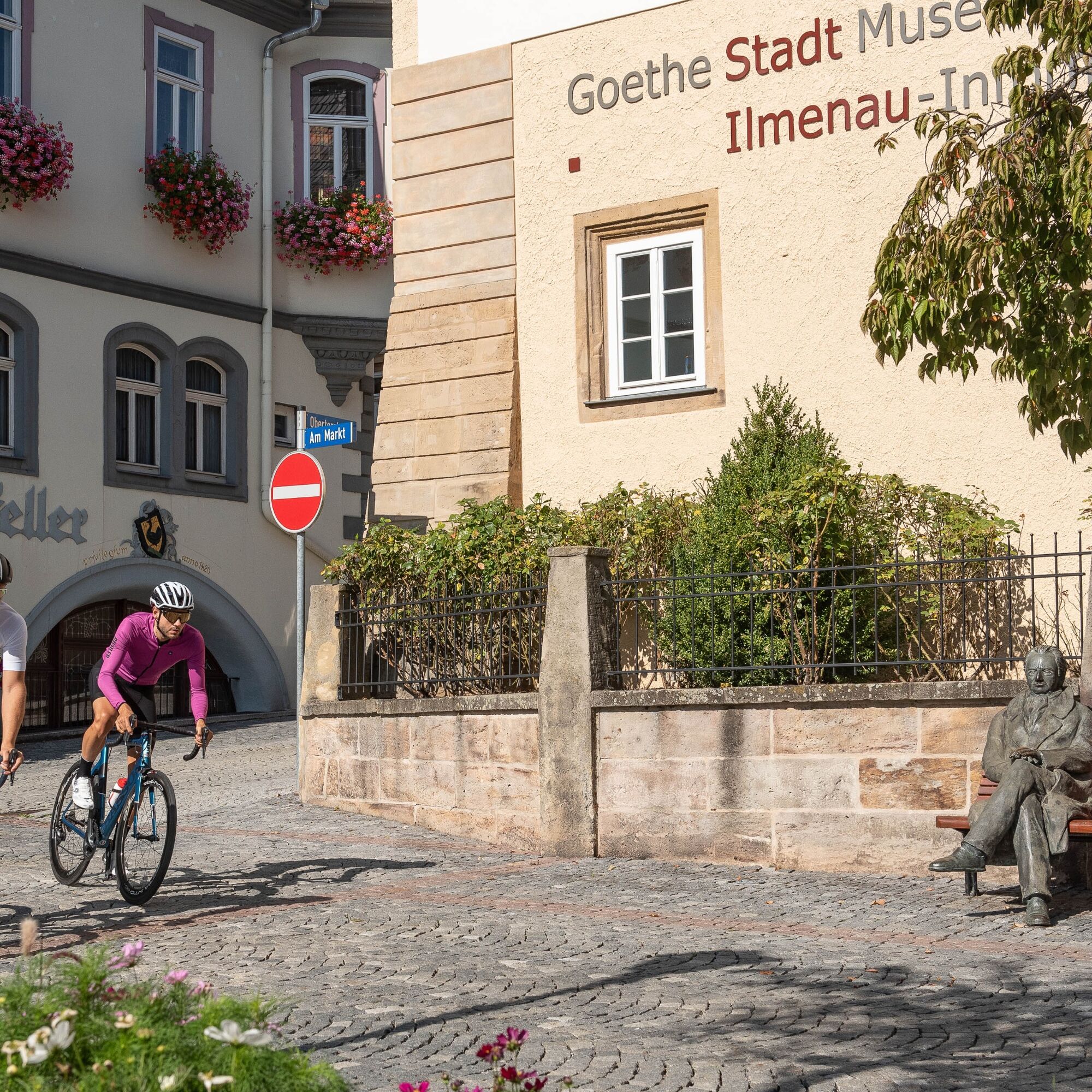
Afterwards, there is a fast descent to Ilmenau. There you can have your photo taken on a bench with the Goethe statue. Return goes via Elgersburg, Geschwenda to Gräfenroda. Then continue through the beautiful...
Afterwards, there is a fast descent to Ilmenau. There you can have your photo taken on a bench with the Goethe statue. Return goes via Elgersburg, Geschwenda to Gräfenroda. Then continue through the beautiful Kehltal - a narrow forest road up the last climb to Oberhof.

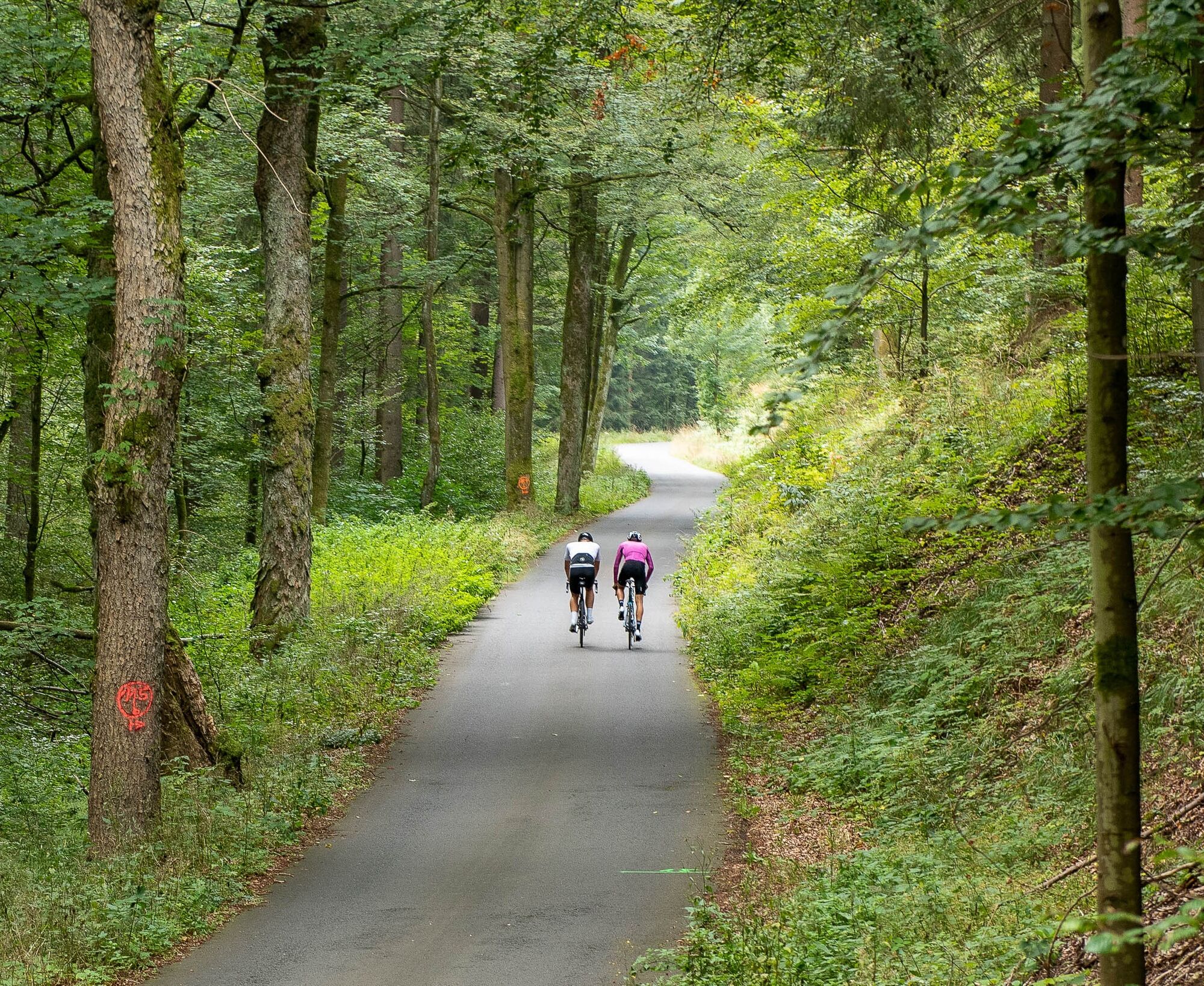
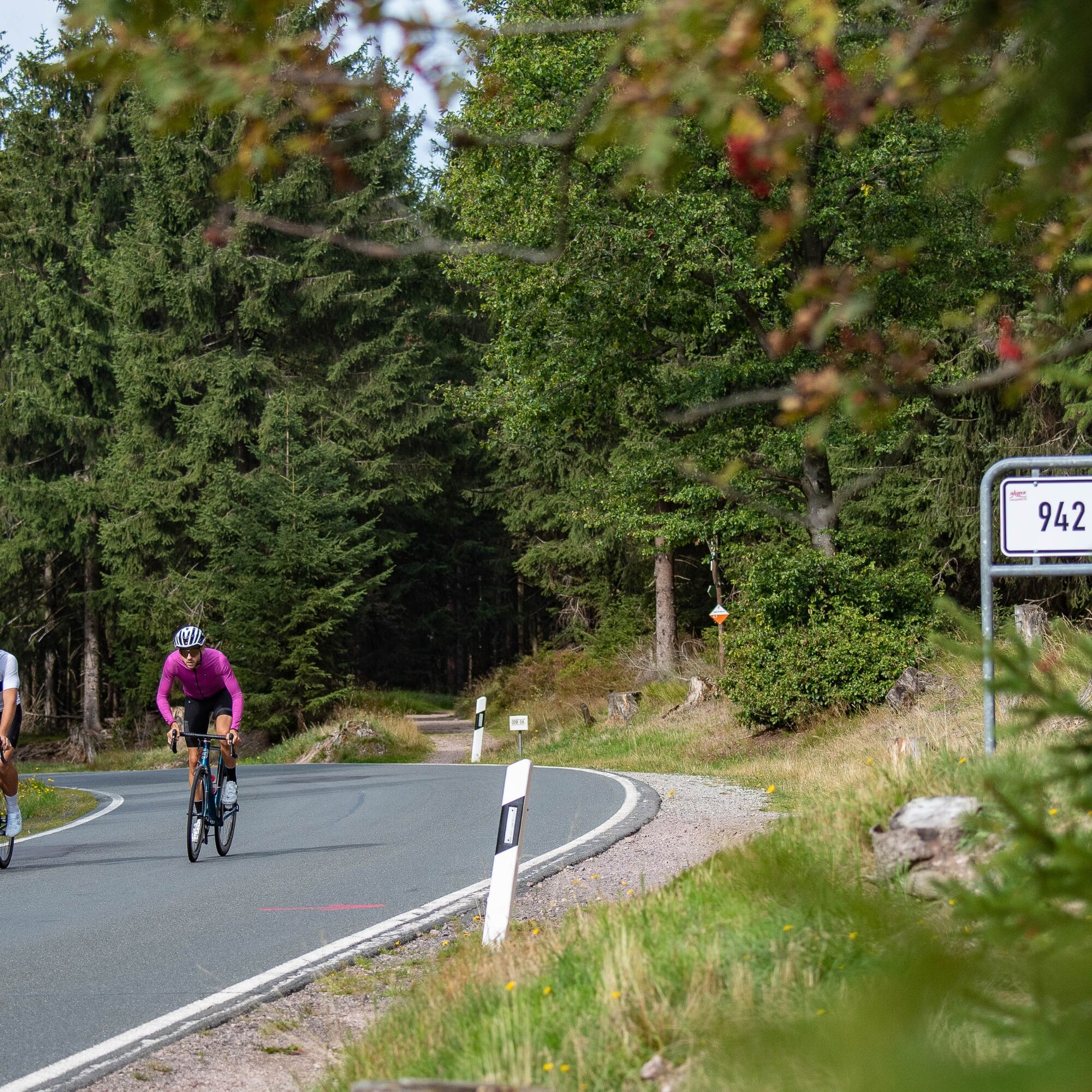
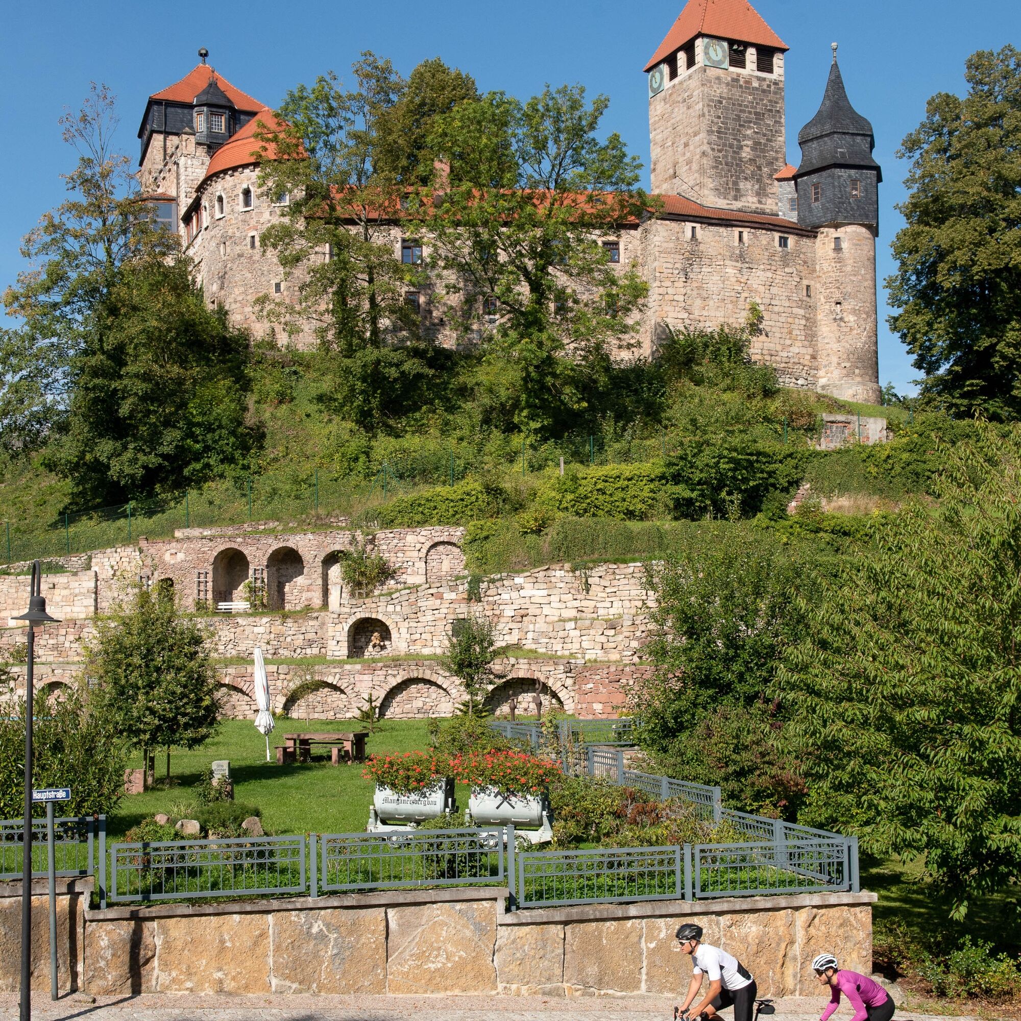
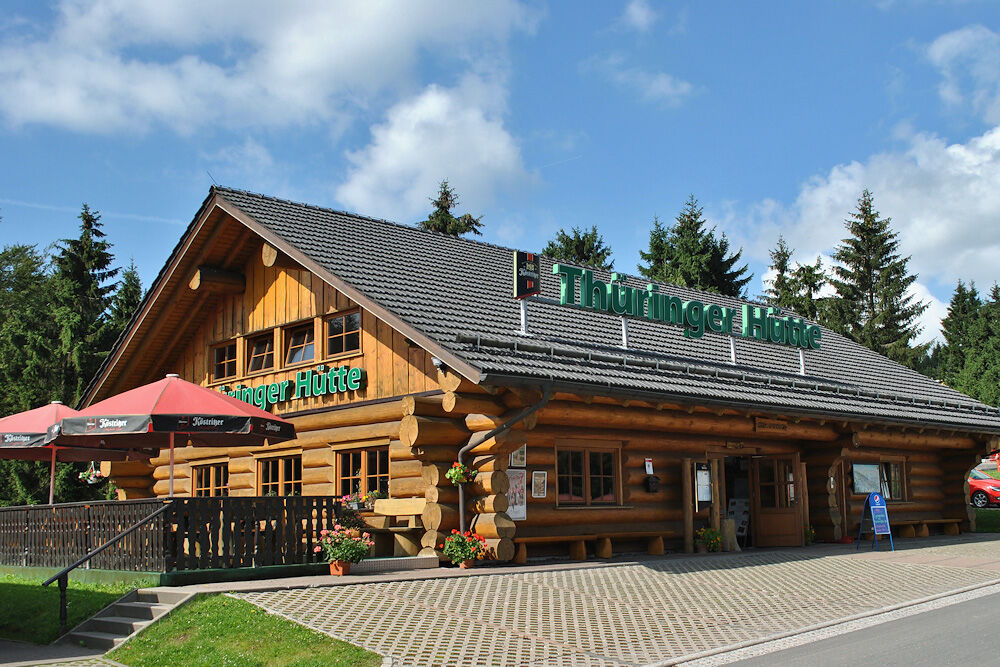
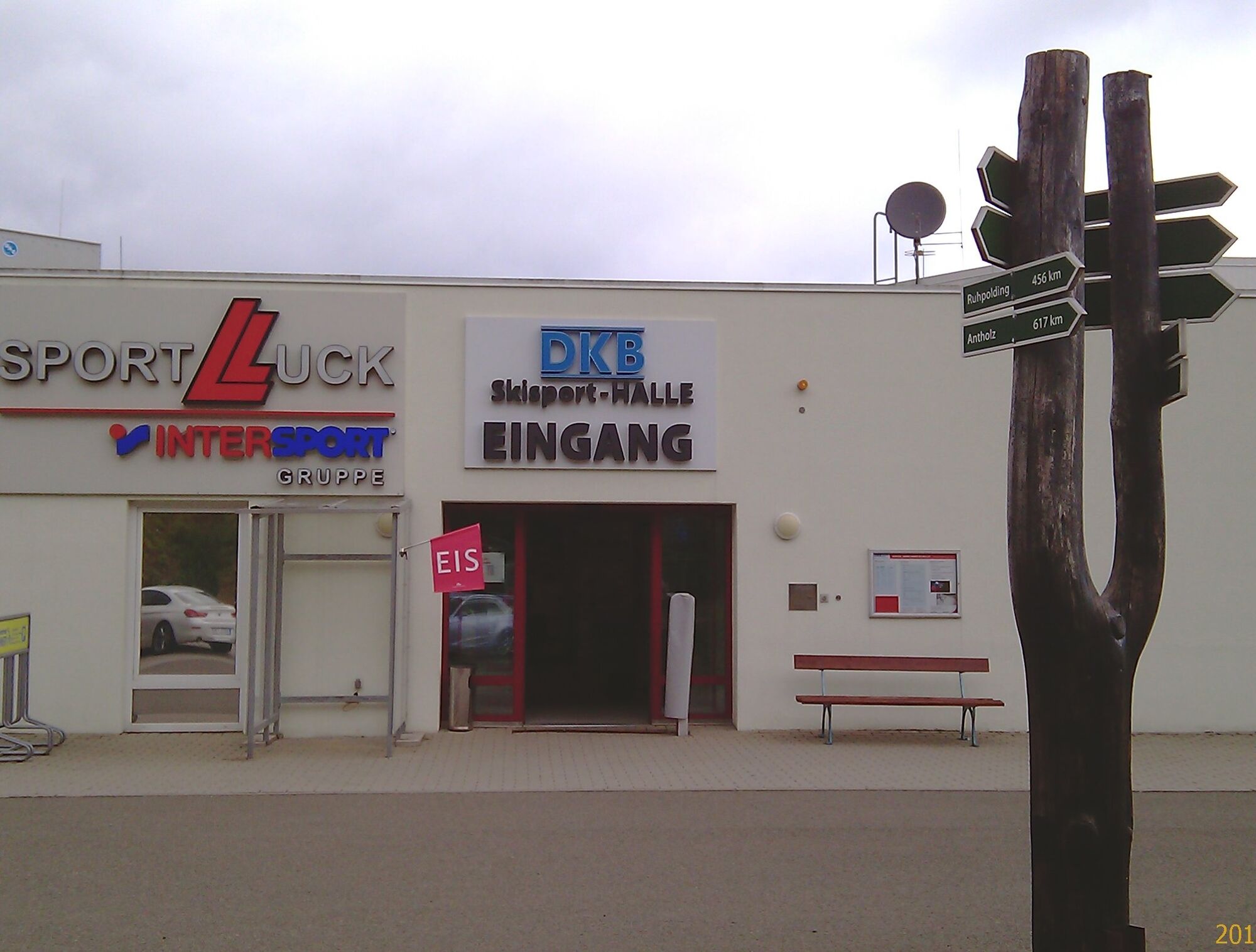
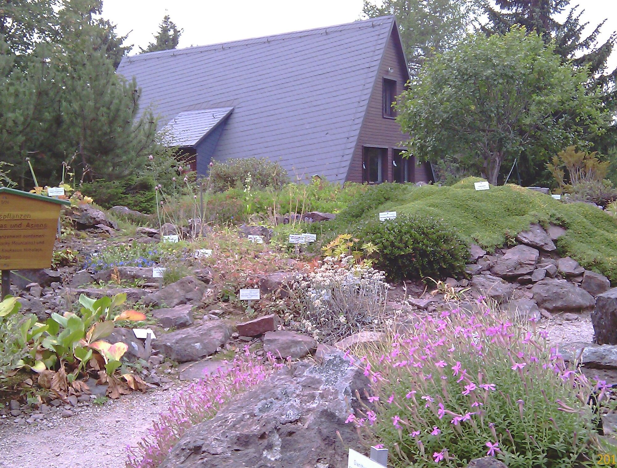
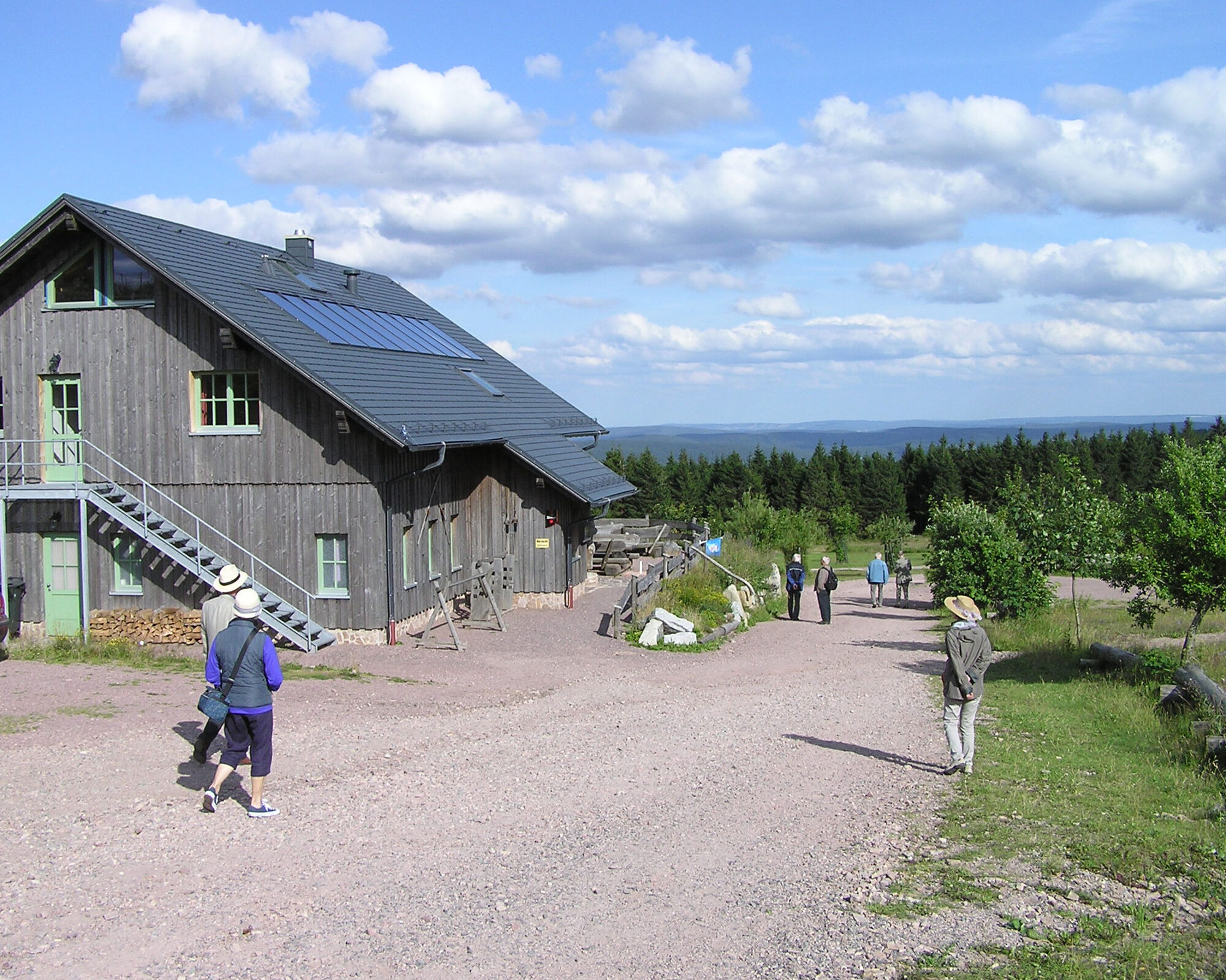
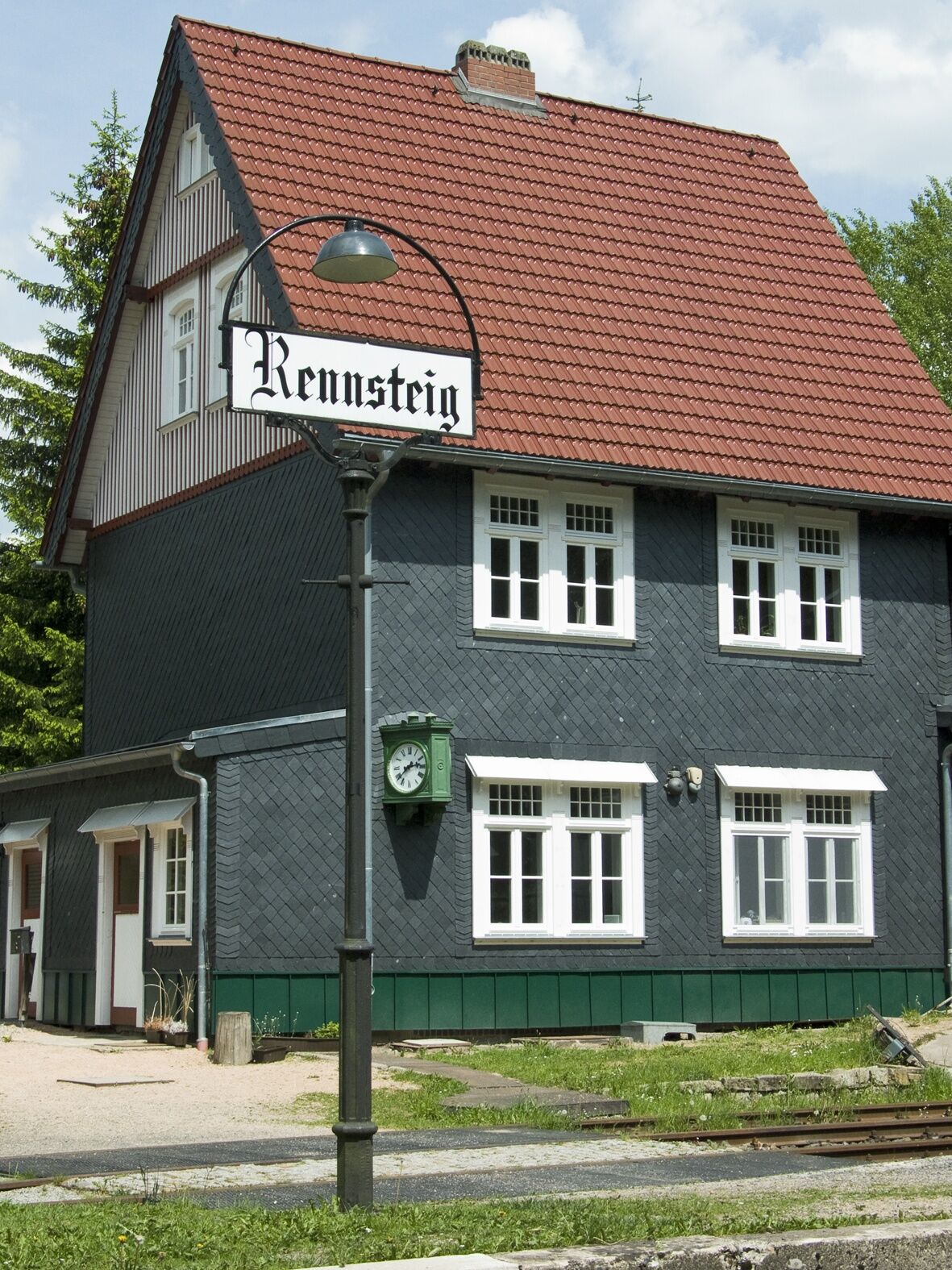
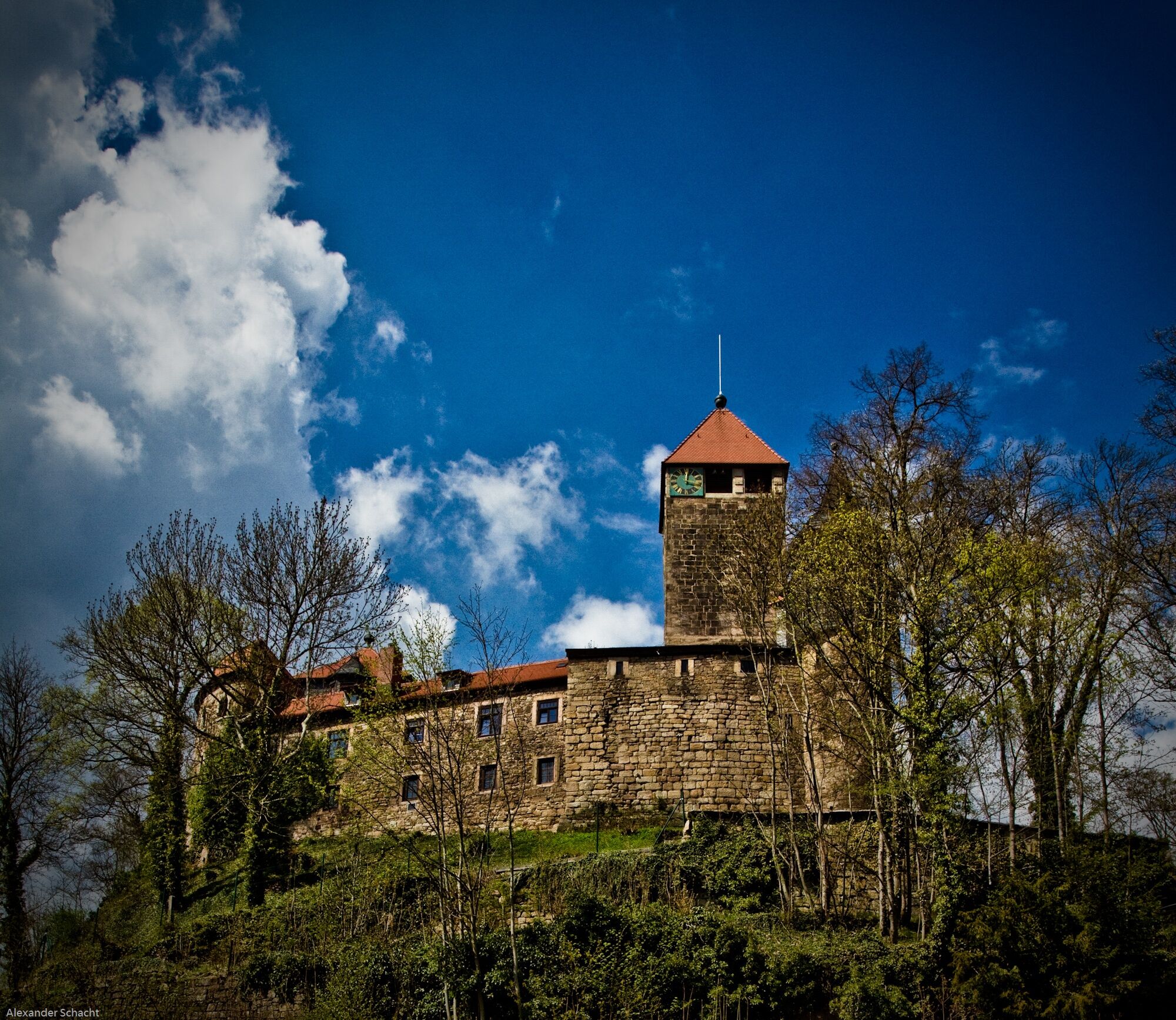
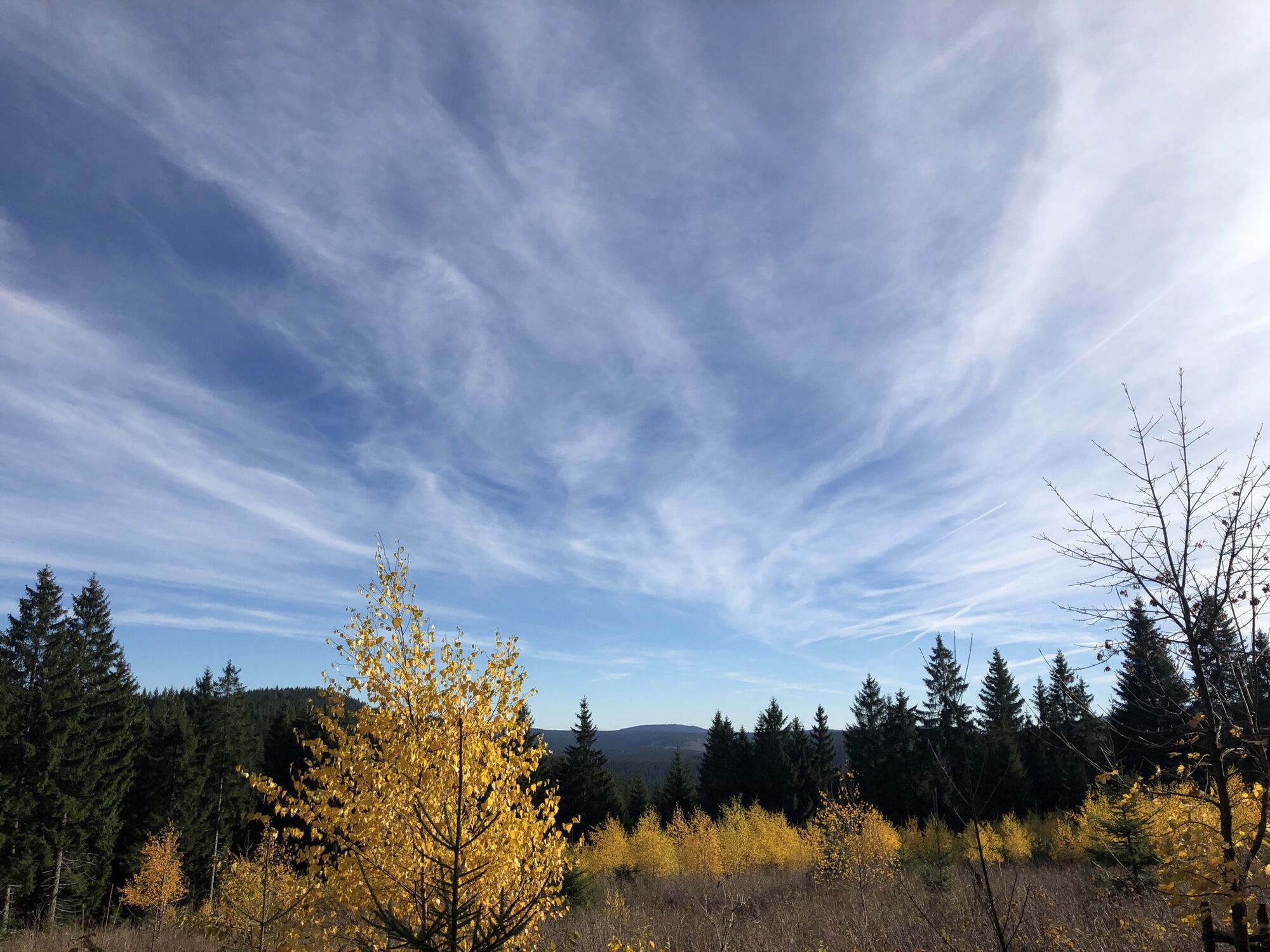

Oberhof - Rennsteig - Manebach - Ilmenau - Elgersburg - Gräfenroda - Kehltal - Oberhof
Keep in mind that a properly adjusted protective helmet can save your life in case of doubt.
Always pay attention to the safety of your bike. The bike path partially runs on public roads. Watch out for other road users and ride with foresight. The traffic regulations (StvO) apply.
Especially during the hot summer months, always carry some drinking water to prevent dehydration. A sunscreen with high SPF is also recommended.
Coming from the A71 take exit 18 (Oberhof) and continue on the L3247 towards Oberhof. From the country road, turn right at the first opportunity towards Oberhof (center).
You can reach Oberhof from the direction of Zella-Mehlis. From there, take the bus line 422 to Grenzadler, Oberhof. Simply use the travel information system of Deutsche Bahn for your travel planning at this link:
→ Arrival at Oberhof, Grenzadler
(Please enter your starting point and desired travel period in the following form)
There is a parking lot at the start and end points, these are subject to charges:
Grenzadler (Google NAV Point) Rondel (Google NAV Point)You are also welcome to use the free hiking parking spaces in Oberhof, which you can find via the signposted parking guidance system in Oberhof.
4
Ilmenau Goethe City
Kamery internetowe z trasy
-
Fallbachhang Bergstation
-
Haus des Gastes in Oberhof
-
Frauenwald am Rennsteig
-
TU Ilmenau
-
Rennsteiggarten Oberhof
-
Elgersburg - Hohe Warte
-
Crawinkel
-
Pension Schmiechen Oberhof
-
Rennsteig - Loipe am Stein 16
-
Oberhof - Schneekopfturm
-
Rennsteig Bahnhof
-
Sportgymnasium Oberhof
-
Ilmenau - Kickelhahn Turm
-
Golfkletterpark Oberhof
-
Manebach Berggrabenweg
-
Ilmenau ITZBund
-
Schlossberg Stützerbach
-
Ilmenau

Popularne wycieczki w okolicy
-
4,4
Circular route - Around the Heyda Dam - Thuringian Forest
średniWędrówka 7,59 km -
4,7
Hike over the Rennsteig & the Schneekopf to the Schmücke
ciężkiWędrówka 21,0 km -
3,0
Circular hike - "4 ponds hike" Neustadt am Rennsteig - Thuringian Forest
ciężkiWędrówka 12,6 km -
3,8
Rundweg Talsperre
średniJazda na rowerze 14,5 km -
The Rennsteig - long-distance hiking trail from Hörschel to Blankenstein - Thuringian Forest
ciężkidługodystansowy szlak pieszy 169,0 km -
4,0
Zu den Schanzen im Kanzlersgrund
średniWędrówka 9,58 km -
5,0
Hiking - Summit hiking trail - Suhl-Goldlauter - Thuringian Forest
ciężkiWędrówka 32,1 km -
4,5
Circular hike to Bärenstein & Pfanntalsteich
średniWędrówka 9,10 km -
4,2
TOP 5 - circular hiking route - "Forsthaus Sattelbach" - Oberhof
światłoWędrówka 3,67 km -
4,7
Circular hike to Lütschetalsperre
średniWędrówka 13,0 km
Wędrówki i tropienie


Nie przegap ofert i inspiracji na następne wakacje
Twój adres e-mail została dodana do listy mailingowej.





