







Cycle route - "Mill ferry round" - Thuringian Forest
Poziom trudności: 2
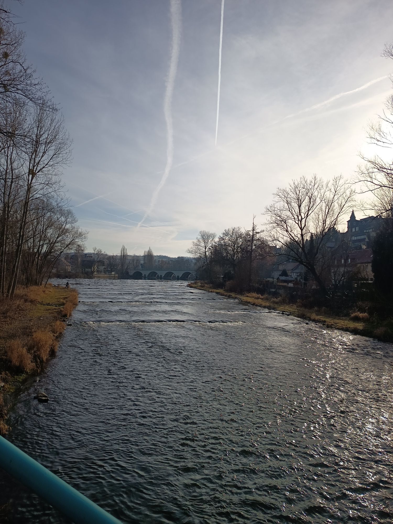
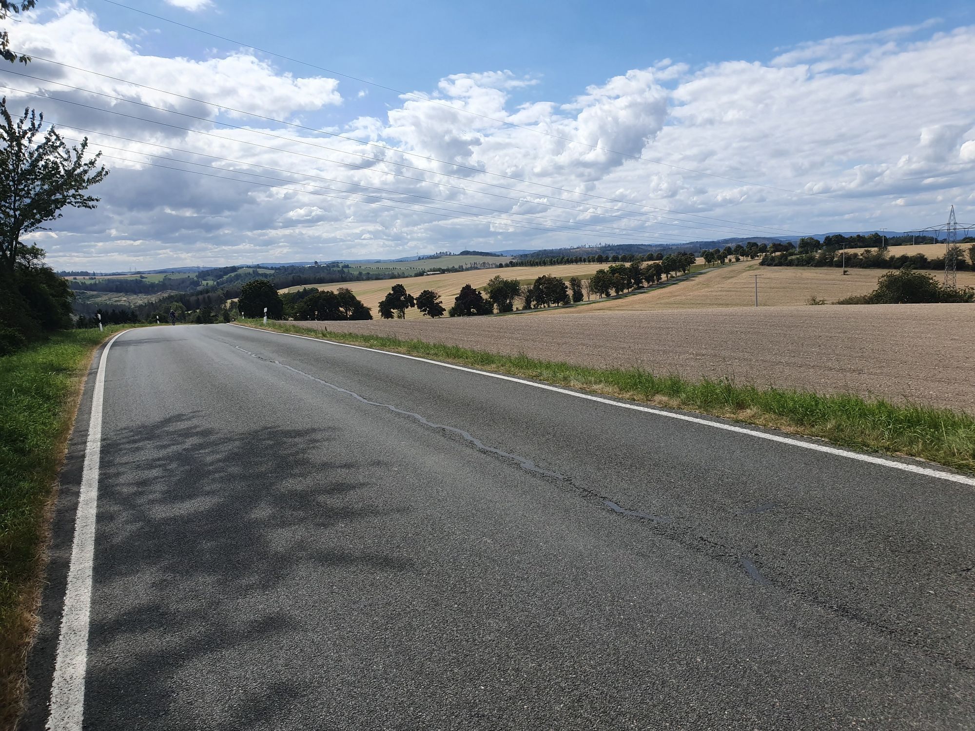
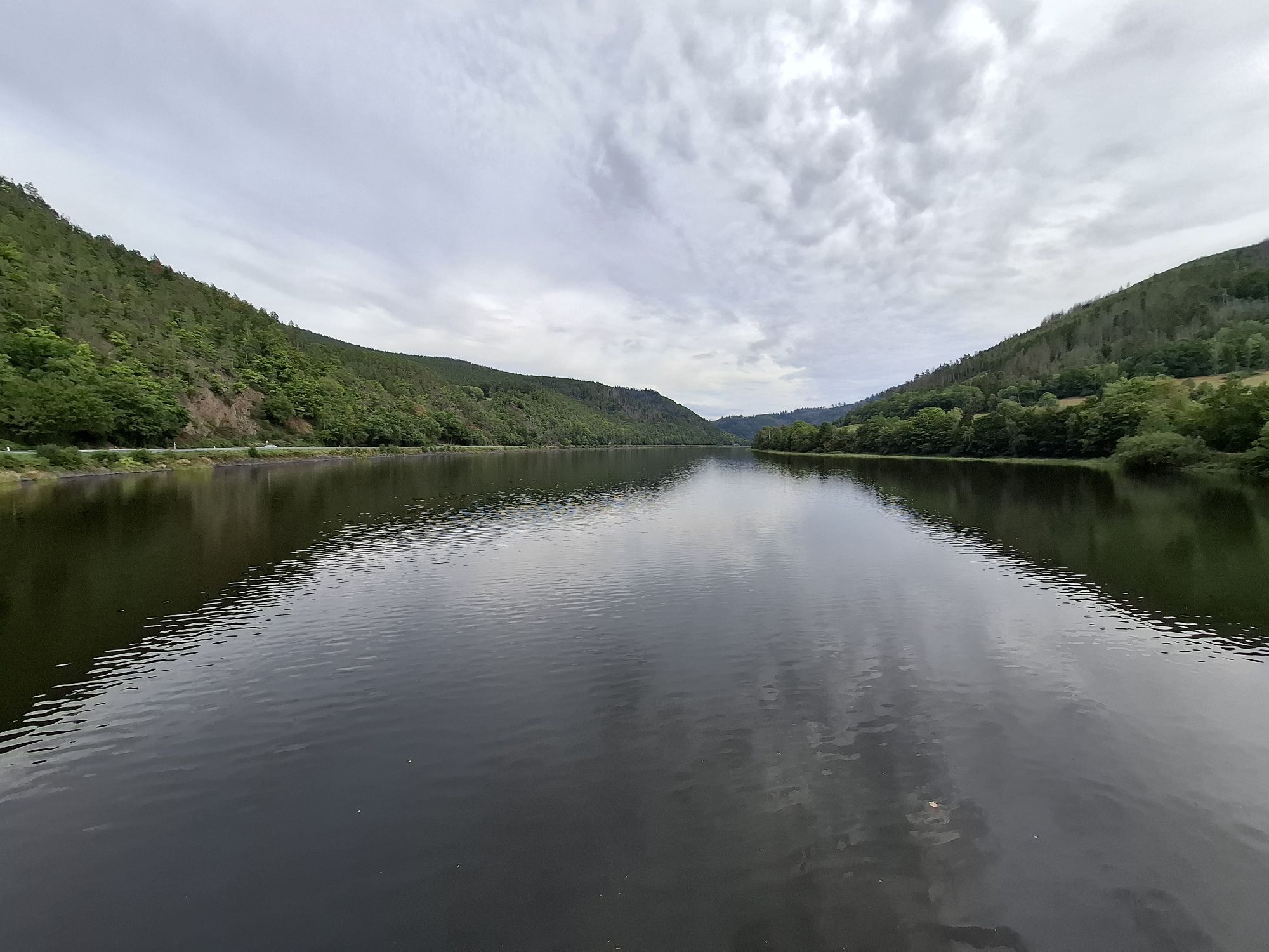
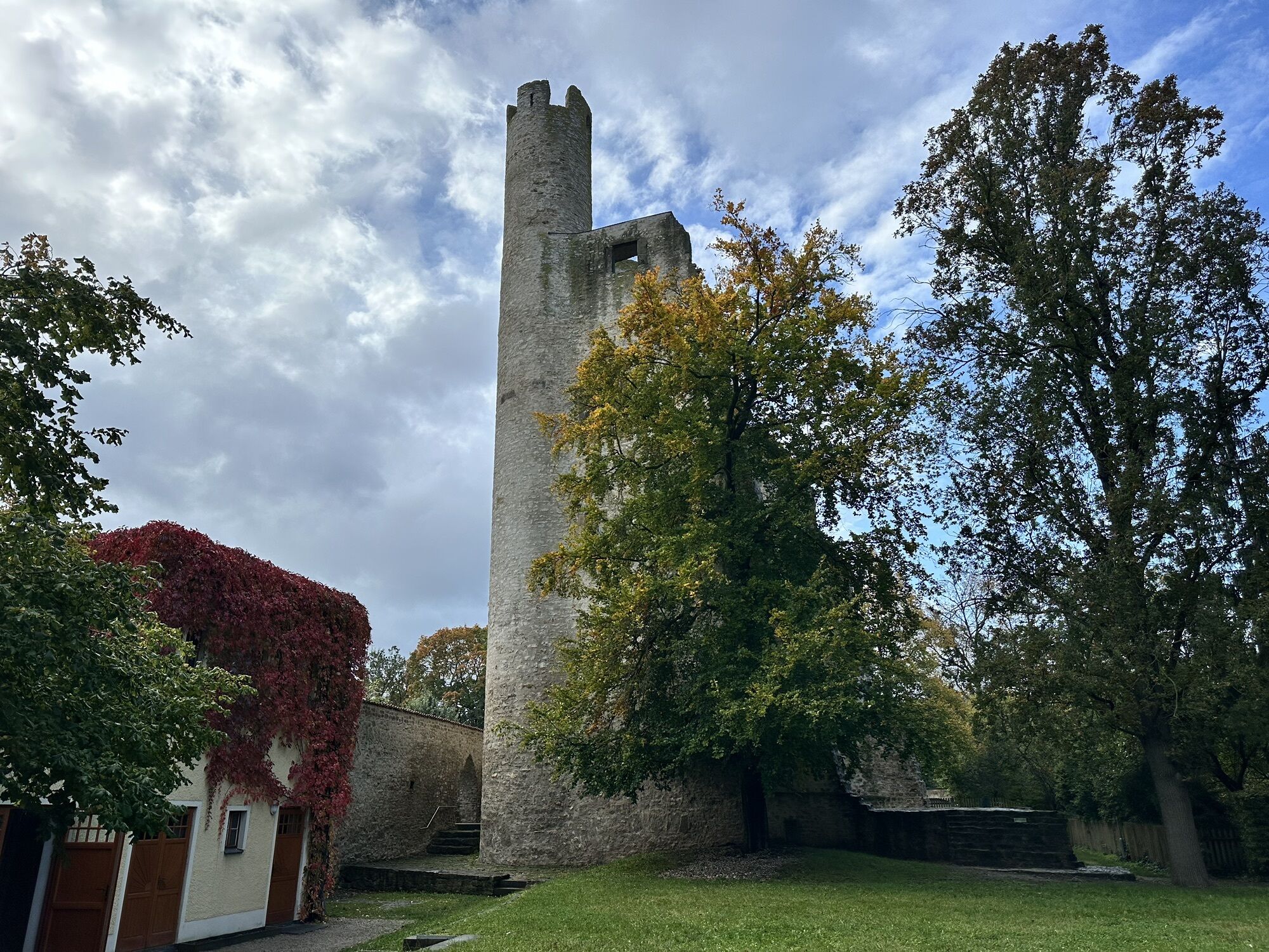
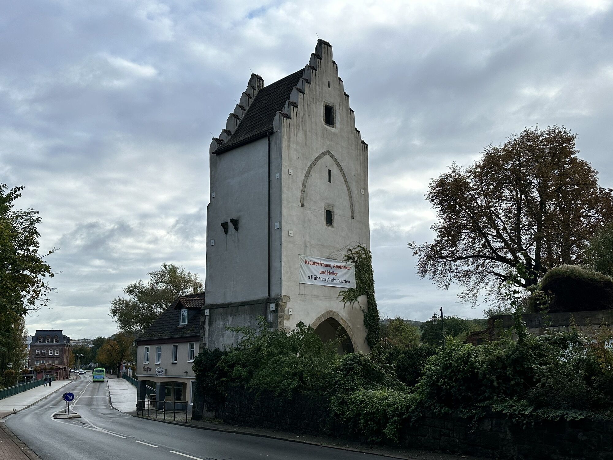
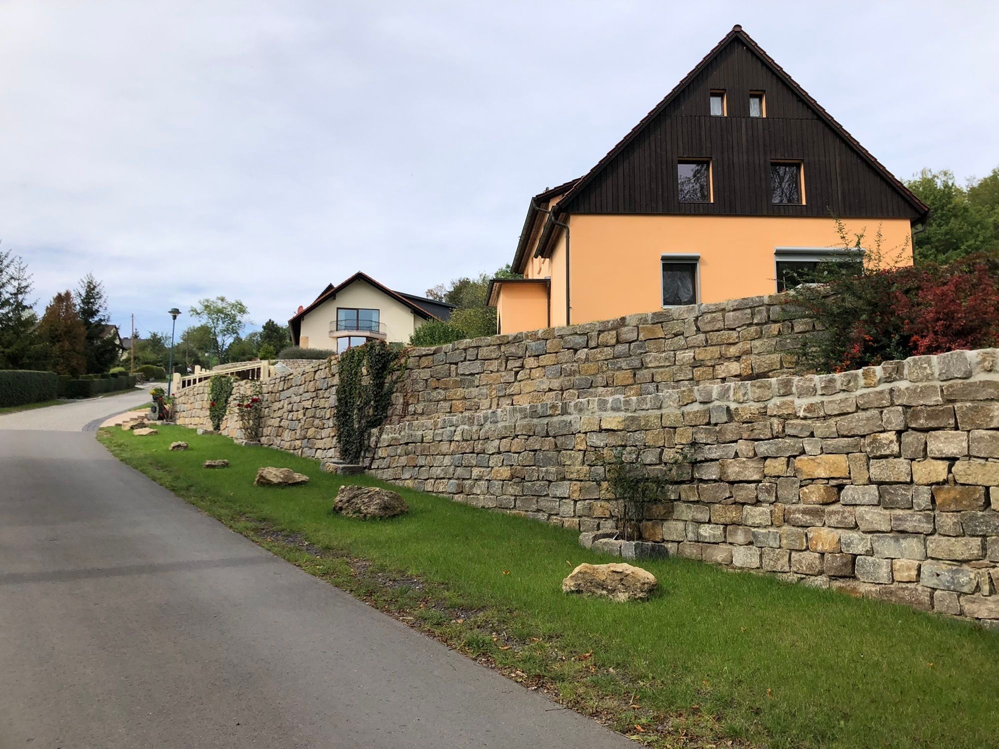
The cycling route starts and ends in Saalfeld/Saale, a historic town with a medieval old town, well-developed infrastructure, and the famous Feengrottenpark. From Bahnhofstraße, it leads out of the town...
The cycling route starts and ends in Saalfeld/Saale, a historic town with a medieval old town, well-developed infrastructure, and the famous Feengrottenpark. From Bahnhofstraße, it leads out of the town towards Unterwellenborn, where the industrial museum and the history of the steelworks recall the region's industrial past.
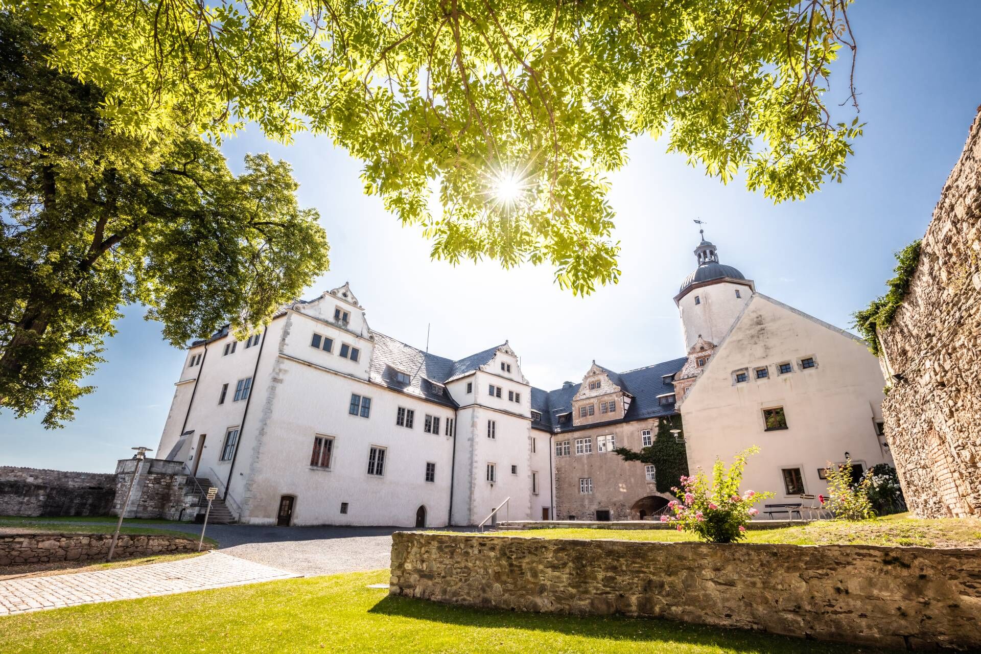
Afterwards, the path takes you through gently rolling landscapes to Krölpa and Ranis. In Ranis, a detour to Ranis Castle is worthwhile, one of Thuringia’s best-preserved castles with an archaeological museum and spectacular views over the Orla valley. This area marks the transition from the agriculturally dominated areas to the first elevations of the Thuringian Slate Mountains.
The route continues over Schmorda and Gössitz, two small, tranquil villages with beautiful views of the surrounding forests and valleys. The route here is rural and relatively quiet – ideal for taking a deep breath.
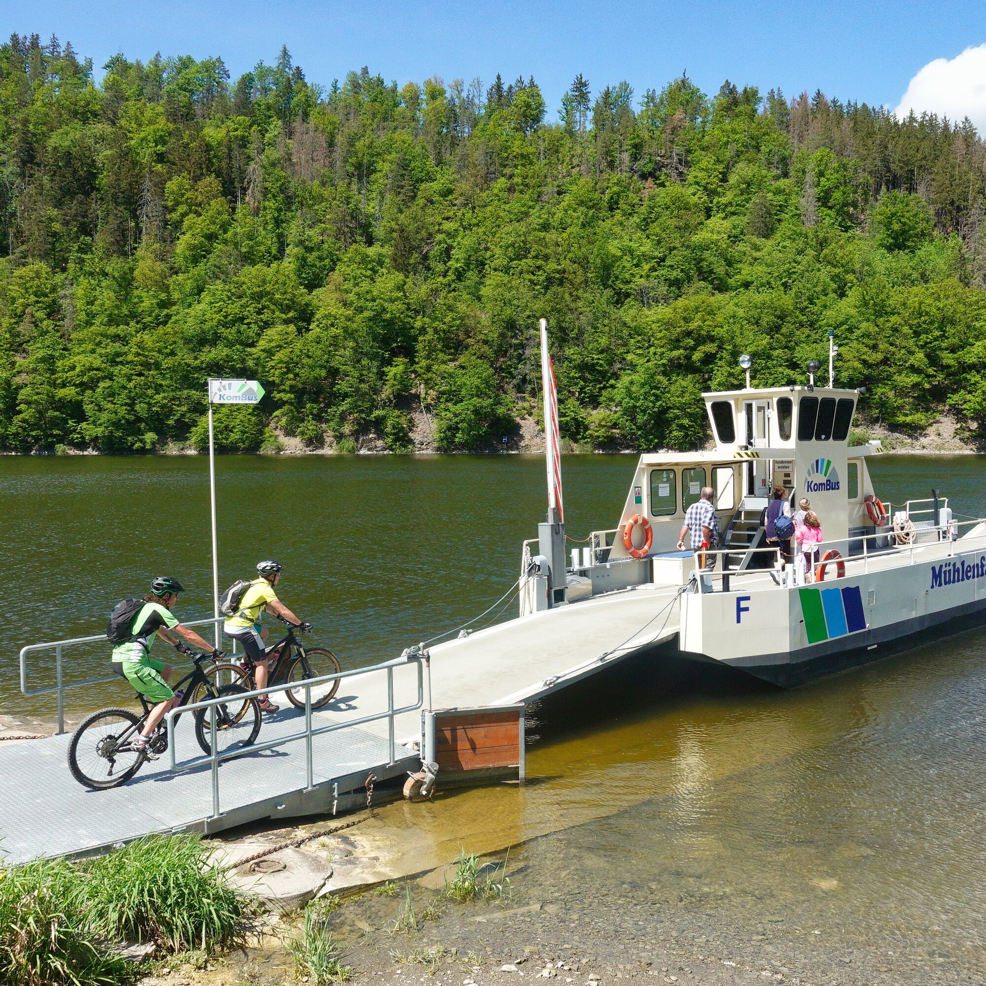
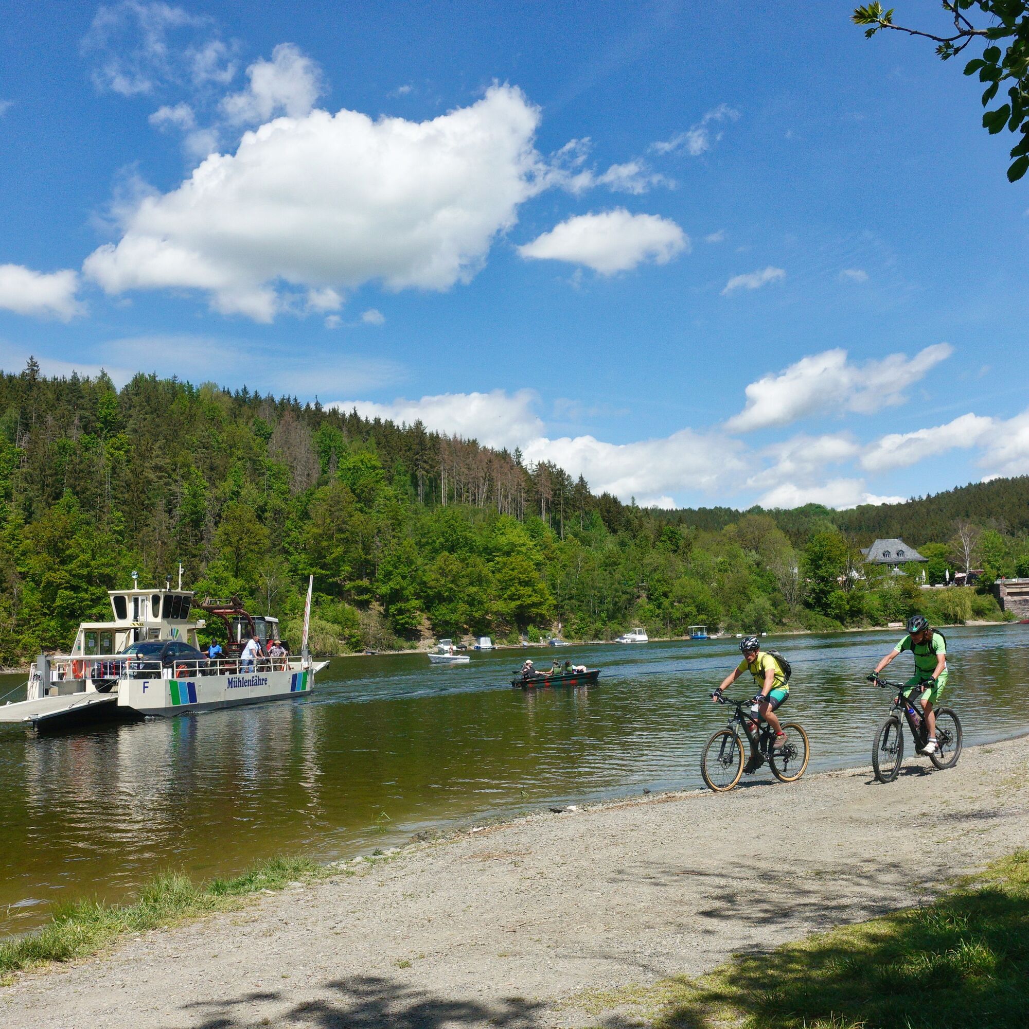
Afterwards, you cross the Saale via the only car ferry in Thuringia between Linkenmühle and Altenroth.
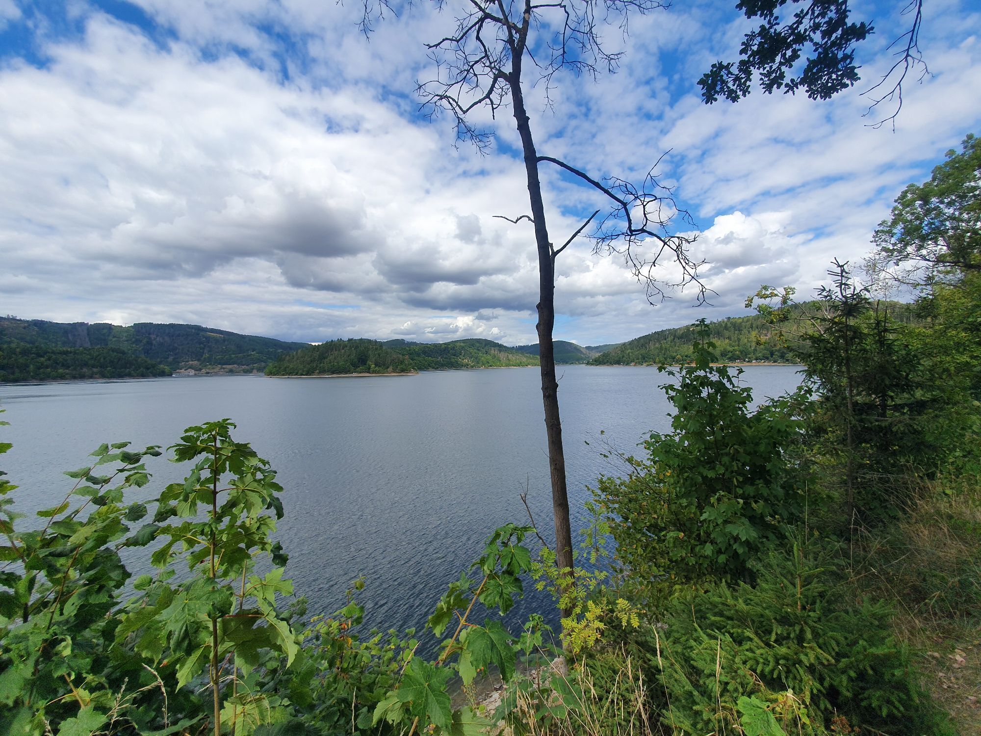
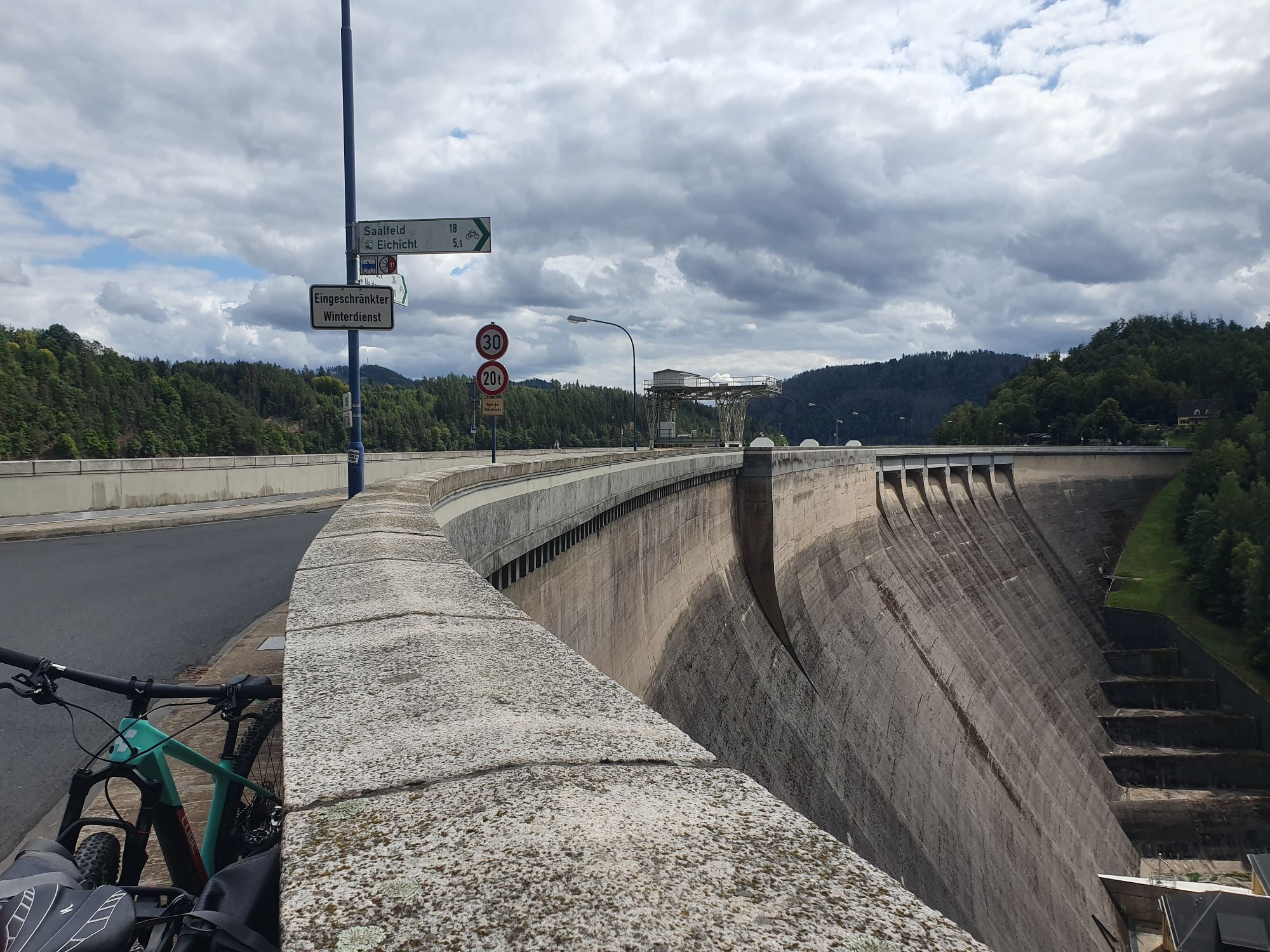
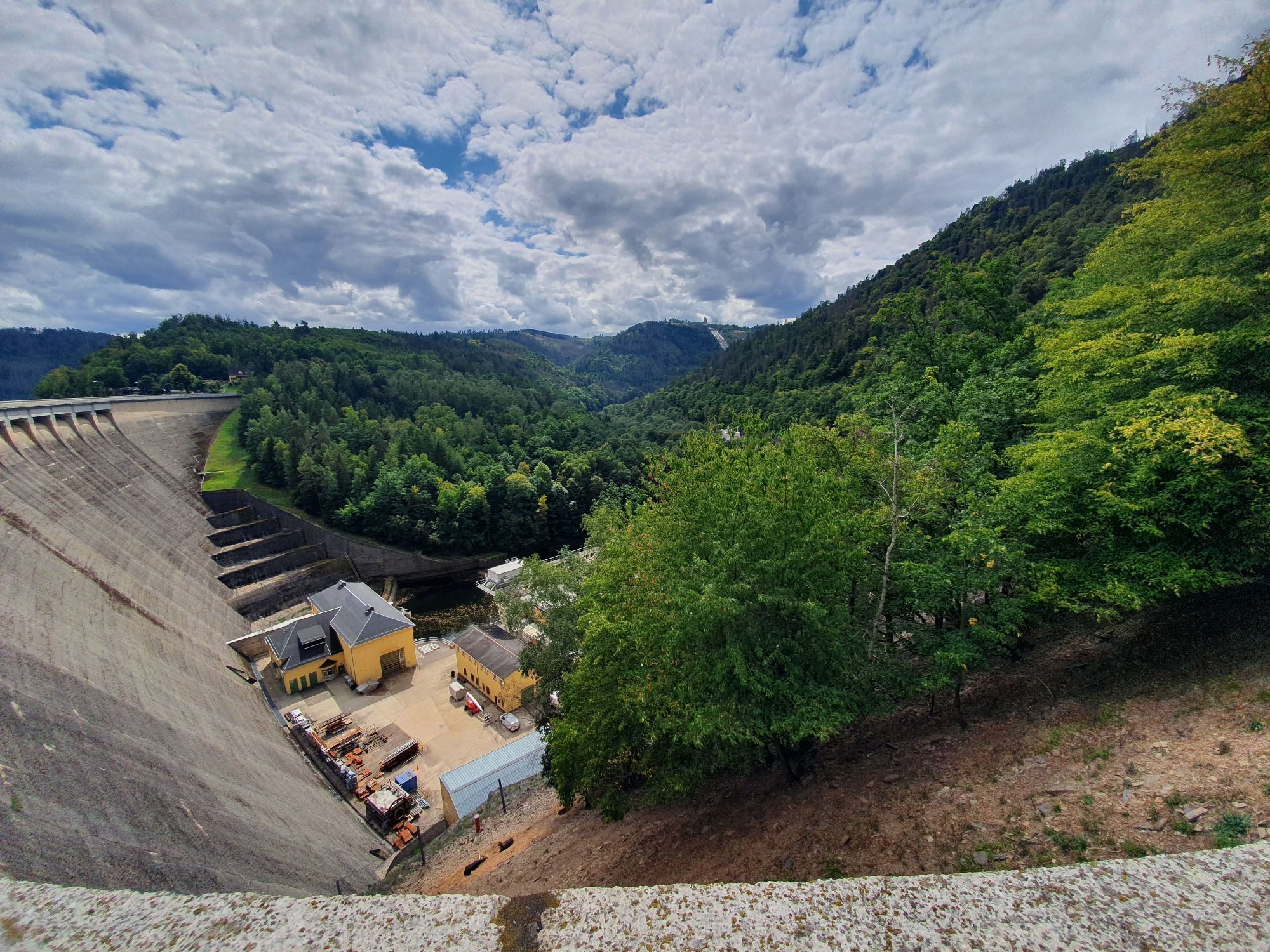
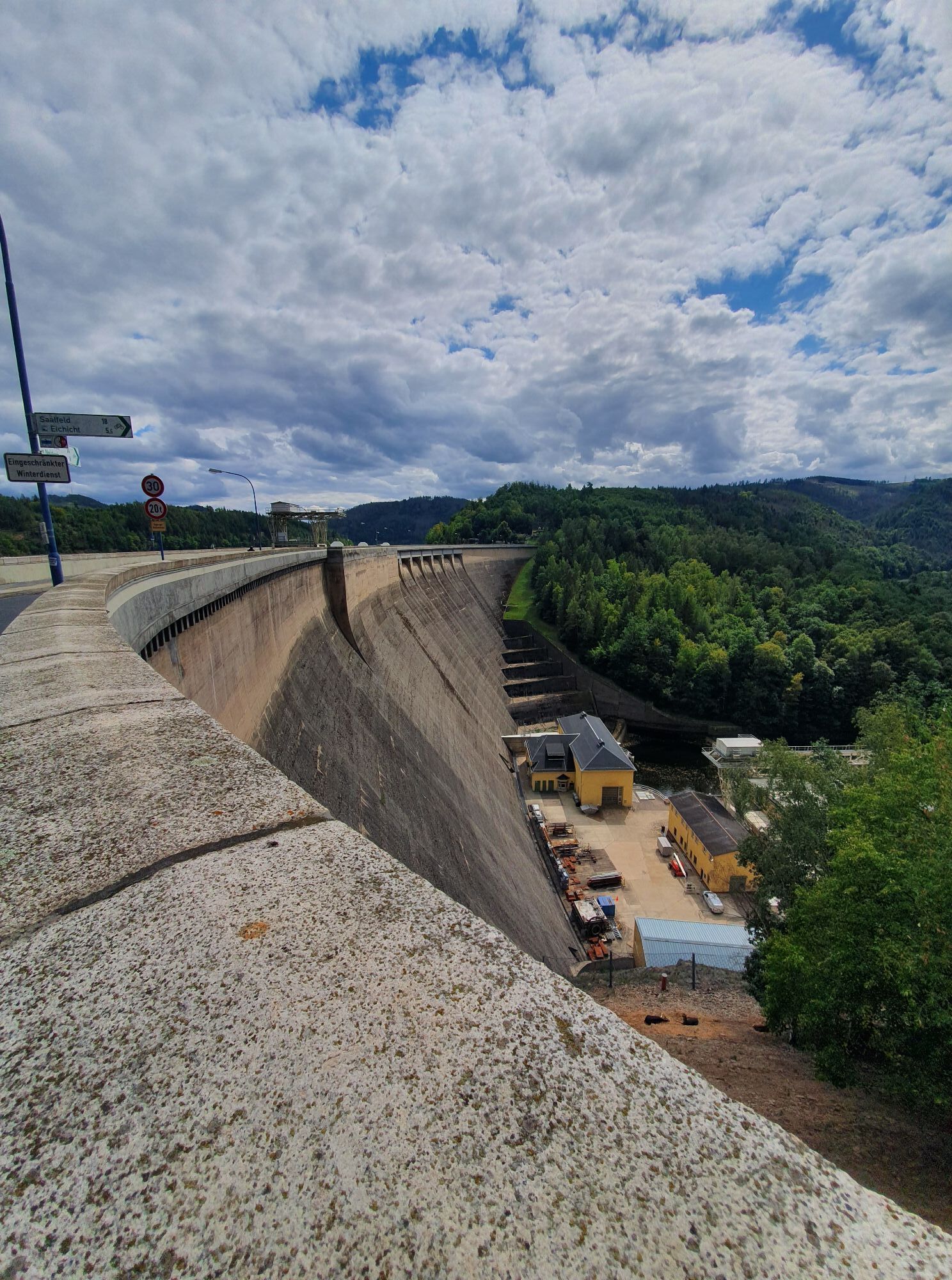
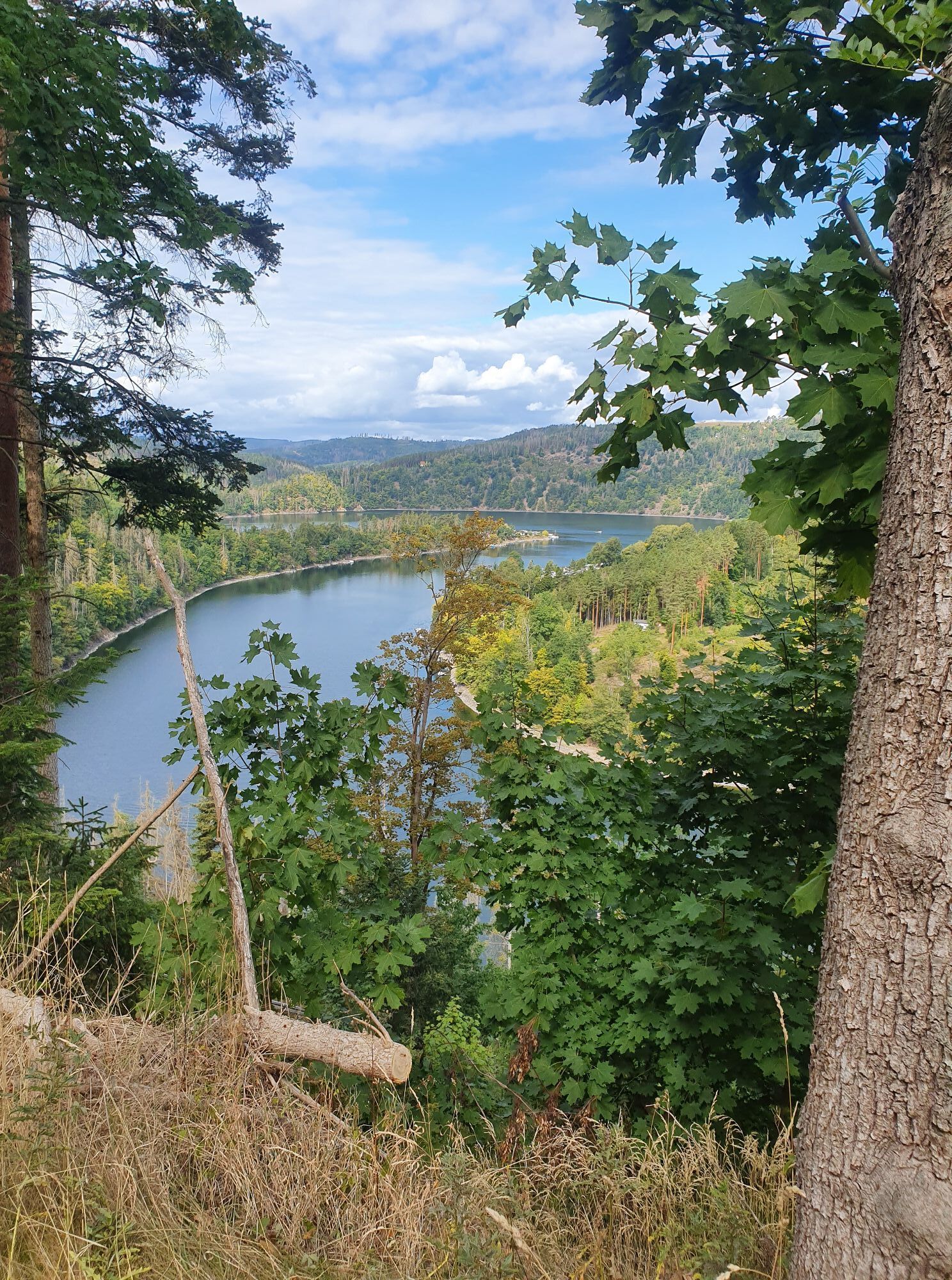
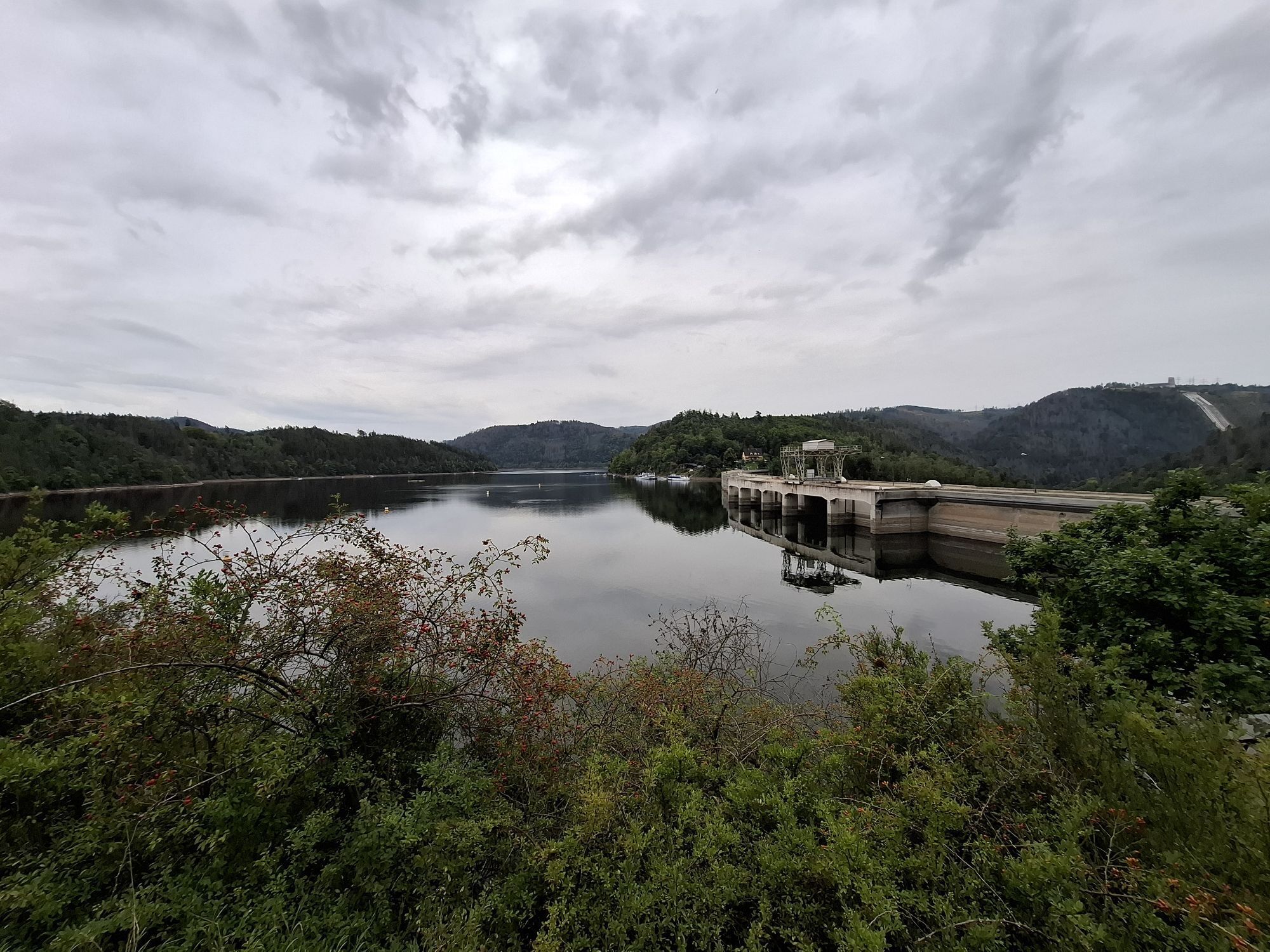
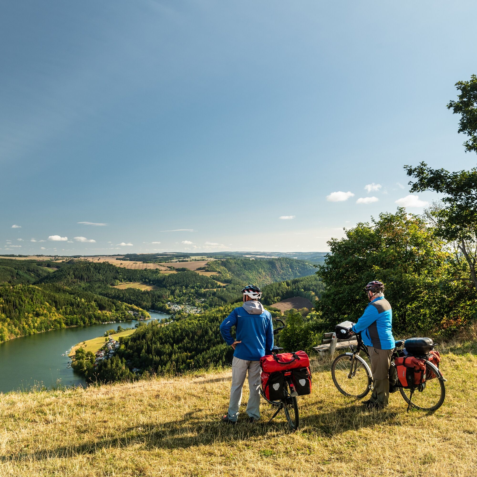
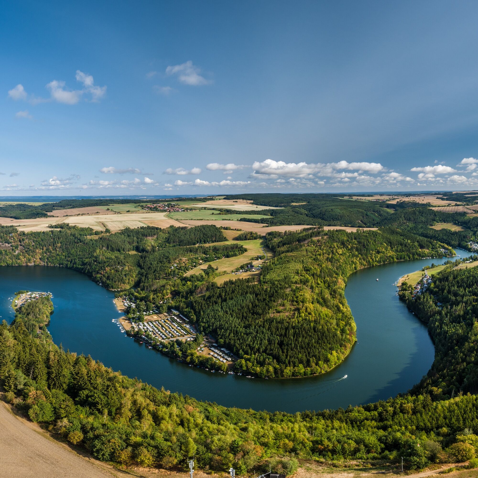
After a steep climb, you reach the picturesque town of Altenbeuthen. The region around Hohenwarte is characterized by forests, winding roads, and the interplay of water and elevations. The dam of the Hohenwarte reservoir is an impressive technical structure and an ideal spot for a break by the water.
The return ride to Saalfeld goes via Kaulsdorf, where you reach the Saale valley again. From there, it is relatively flat along the river back to Saalfeld.



Bahnhofstraße Saalfeld/Saale - Unterwellenborn - Krölpa - Ranis - Schmorda - Gössitz - Altenbeuthen - Drognitz - Hohenwarte - Kaulsdorf - Breternitz - Weischwitz -- Obernitz - Bahnhofstraße Saalfeld/Saale
Tak
Bicycle helmet
First aid kit
Drink supply
GPS navigation device or smartphone
Please ensure your bicycle is properly equipped for road use.
From the A9 exit Triptis - B 281 Pößneck - Könitz towards Saalfeld
From the A71 exit Stadtilm - B90 towards Saalfeld
You can comfortably reach Saalfeld by trains of the Erfurt railway. Simply use this link for travel planning:
Visitor mine Kamsdorf (Google navigation point)
Saalfeld train station (Google navigation point)
Saalfeld fire brigade (Google navigation point)
Café Ranis (Google navigation point)
Hohenwarte reservoir (Google navigation point)
2
Attention! The cycling tour requires using the ferry. (Usually May - October)
Tickets and ferry times can be found here!
Please note that there may be weather and water level related restrictions. If necessary, get information in advance from the KomBus service phone or directly from the ferryman.
The tour proposal is signposted on-site with 95% cycle path markings. Nevertheless, we recommend downloading the tour onto your mobile phone or GPS device for better coordination.
Popularne wycieczki w okolicy
-
4,9
Circular hiking trail - H5 "The Water Route" - Thuringian Forest
średniWędrówka 6,58 km -
Circular route - Otter Bay and Devil's Pulpit - Ziegenrück
średniWędrówka 16,8 km -
4,7
Circular hiking route - H3 "The Bird's Eye View" - Thuringian Forest
średniWędrówka 8,78 km -
5,0
Hohenwarte Reservoir Way - Section 2 - Camping Wilhelmsdorf Portenschmiede → Ziegenrück
ciężkiWędrówka 18,2 km -
4,0
Circular route - "Wichtelweg" - Wilhelmsdorf
światłoTrasa tematyczna 2 km -
4,0
Von Ziegenrück zur Fernsicht
średniWędrówka 5,50 km -
5,0
Urwaldpfad Leutenberg - Thuringian Urwaldpfade
średniWędrówka 6,82 km -
4,0
Hohenwarte Reservoir Trail - Stage 3 - Ziegenrück → Drognitz
ciężkiWędrówka 14,1 km -
5,0
Circular hiking trail - Saale, Wisenta Valley and Plothengrund - Ziegenrück
średniWędrówka 20,6 km -
5,0
Kulm route
średniWędrówka 9,39 km
Wędrówki i tropienie


Nie przegap ofert i inspiracji na następne wakacje
Twój adres e-mail została dodana do listy mailingowej.





