


Cycling route - Everyone's Tour 2019 - Short route - From Erfurt to Wechmar
Poziom trudności: 2
Erfurt Roller Coaster – 64 kilometers
With its hilly profile and 550 meters of elevation, the “Erfurt Roller Coaster” is ideal for beginners and is also open for tandem rides and leisurely cycling without...
Erfurt Roller Coaster – 64 kilometers
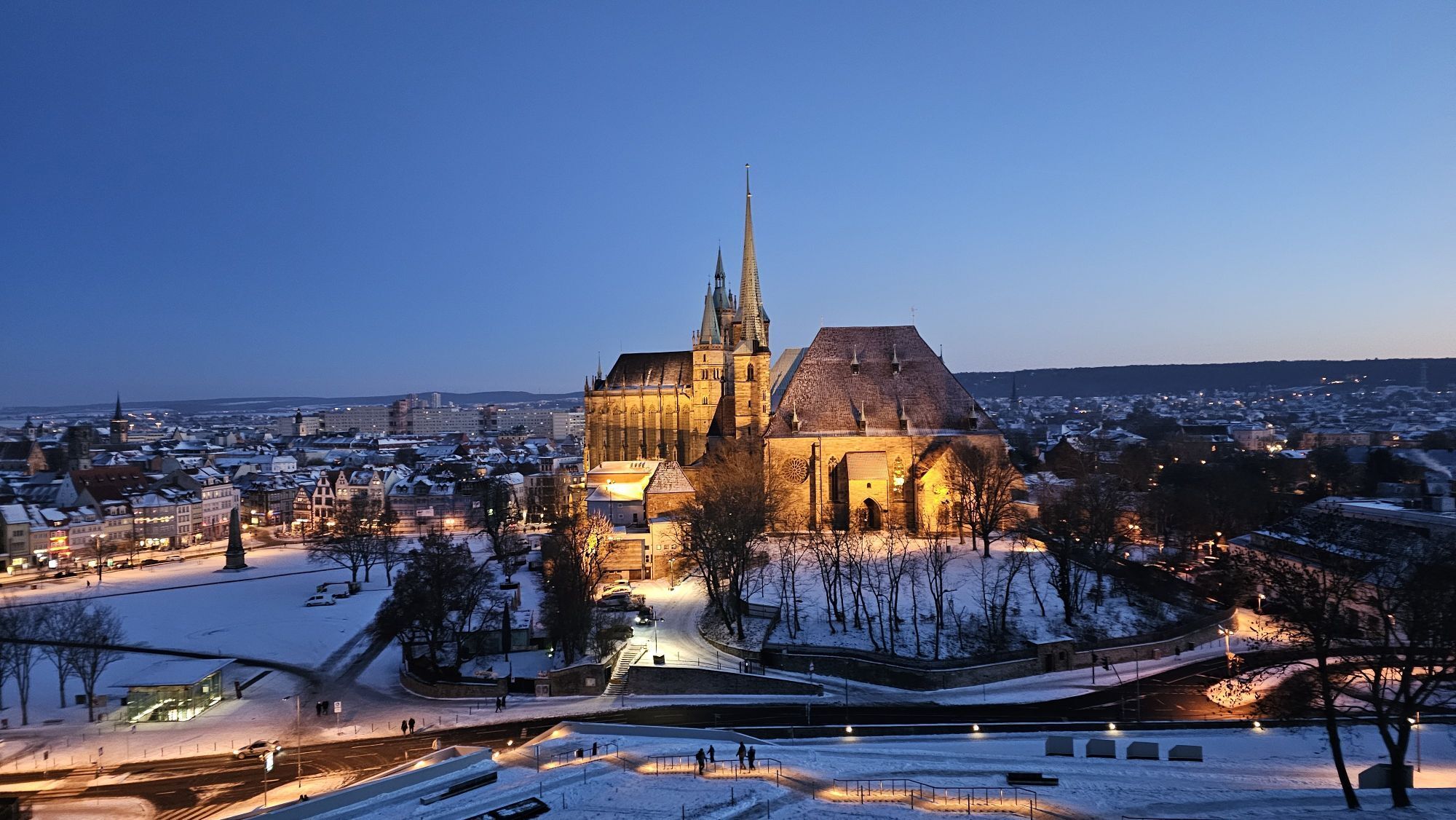
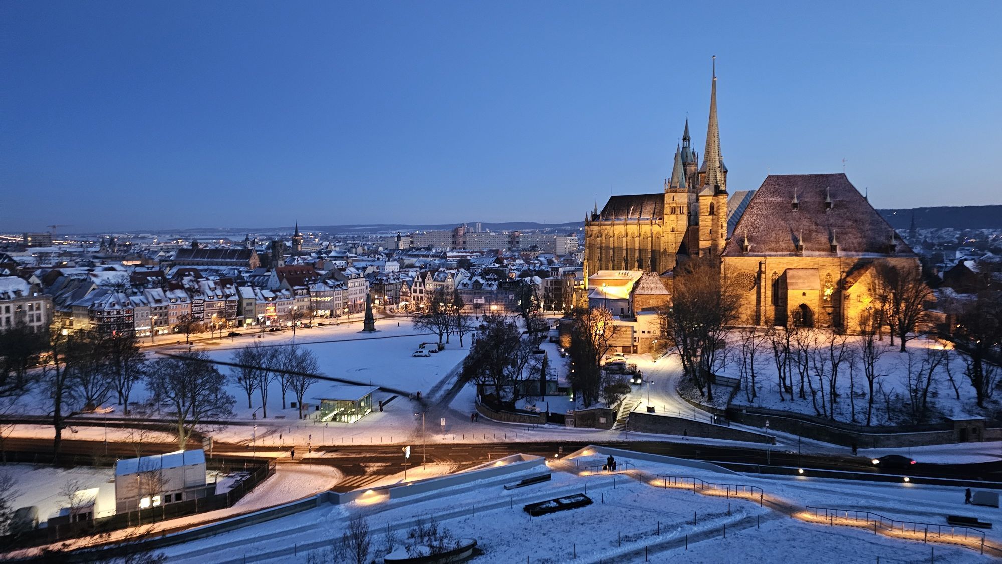
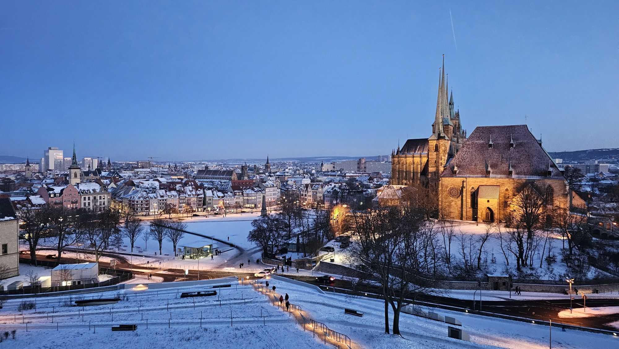
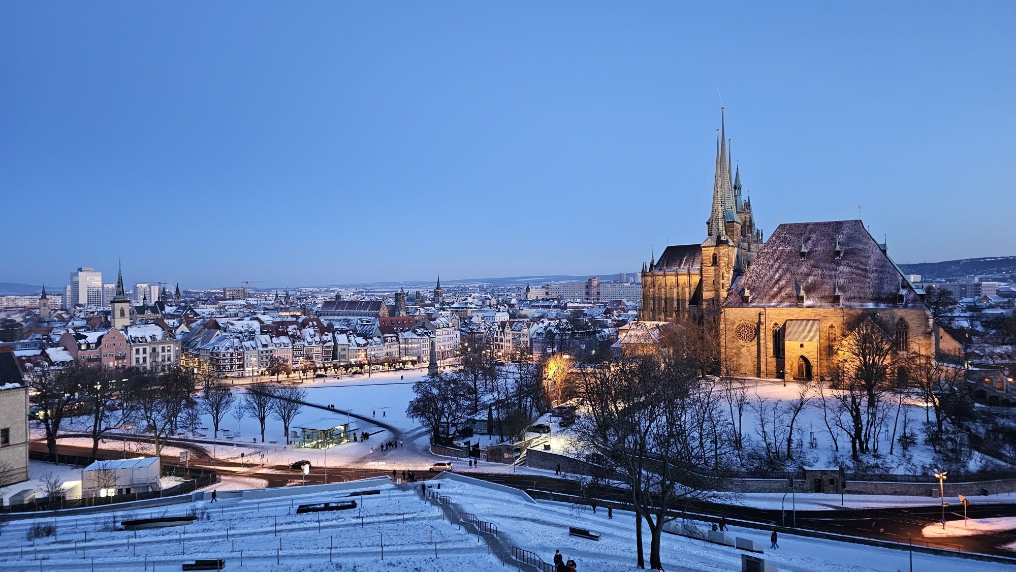
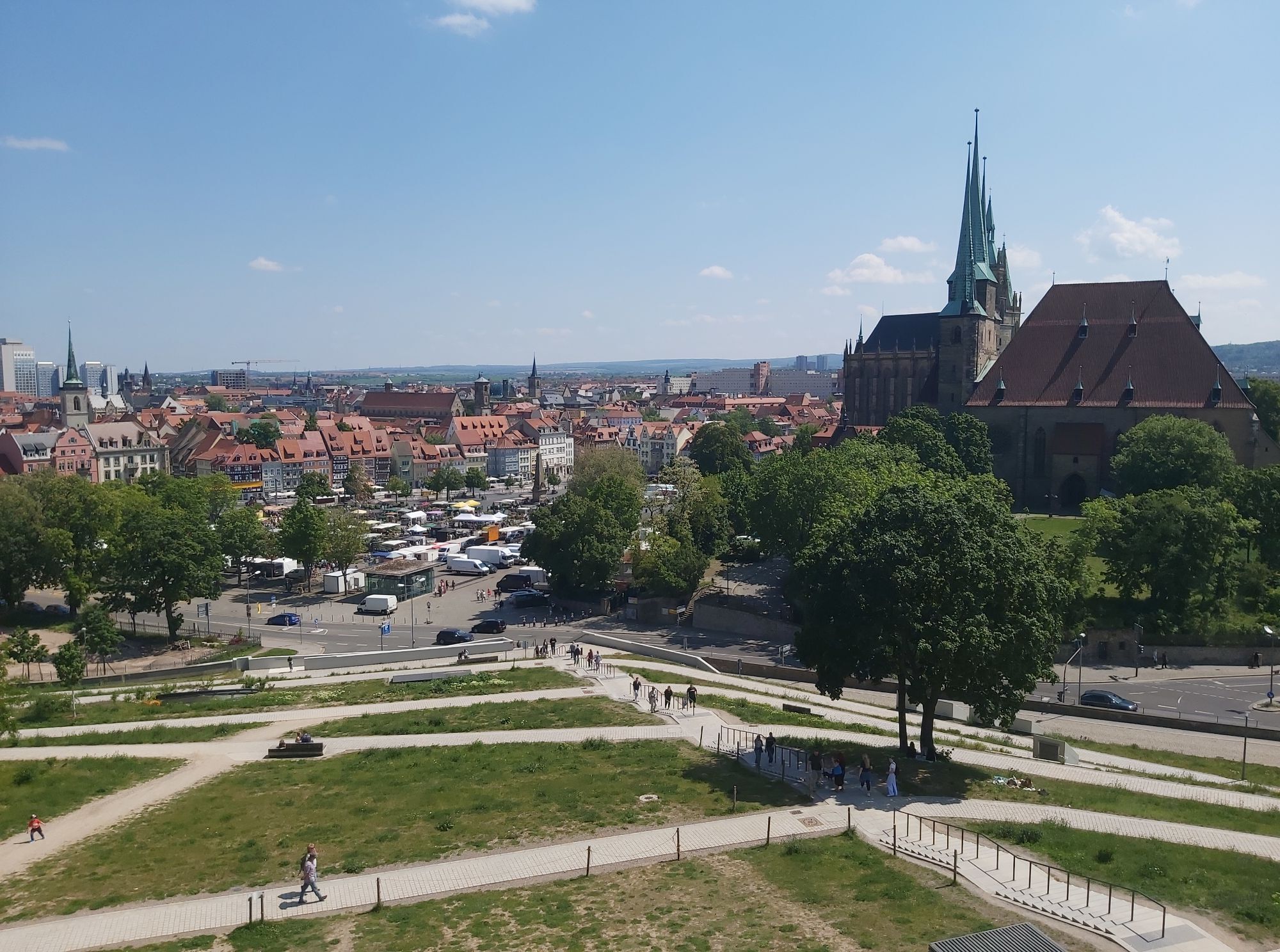
With its hilly profile and 550 meters of elevation, the “Erfurt Roller Coaster” is ideal for beginners and is also open for tandem rides and leisurely cycling without timing. The start is at Erfurt Cathedral Square. Along the Gera river, cyclists from the state capital are led towards Bischleben-Stedten. After 8 kilometers, the short route splits from the long one.
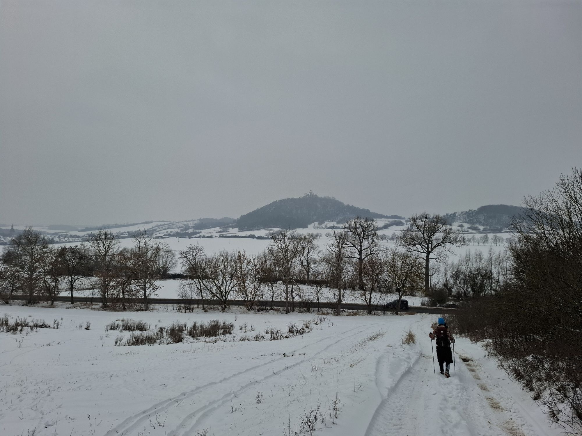
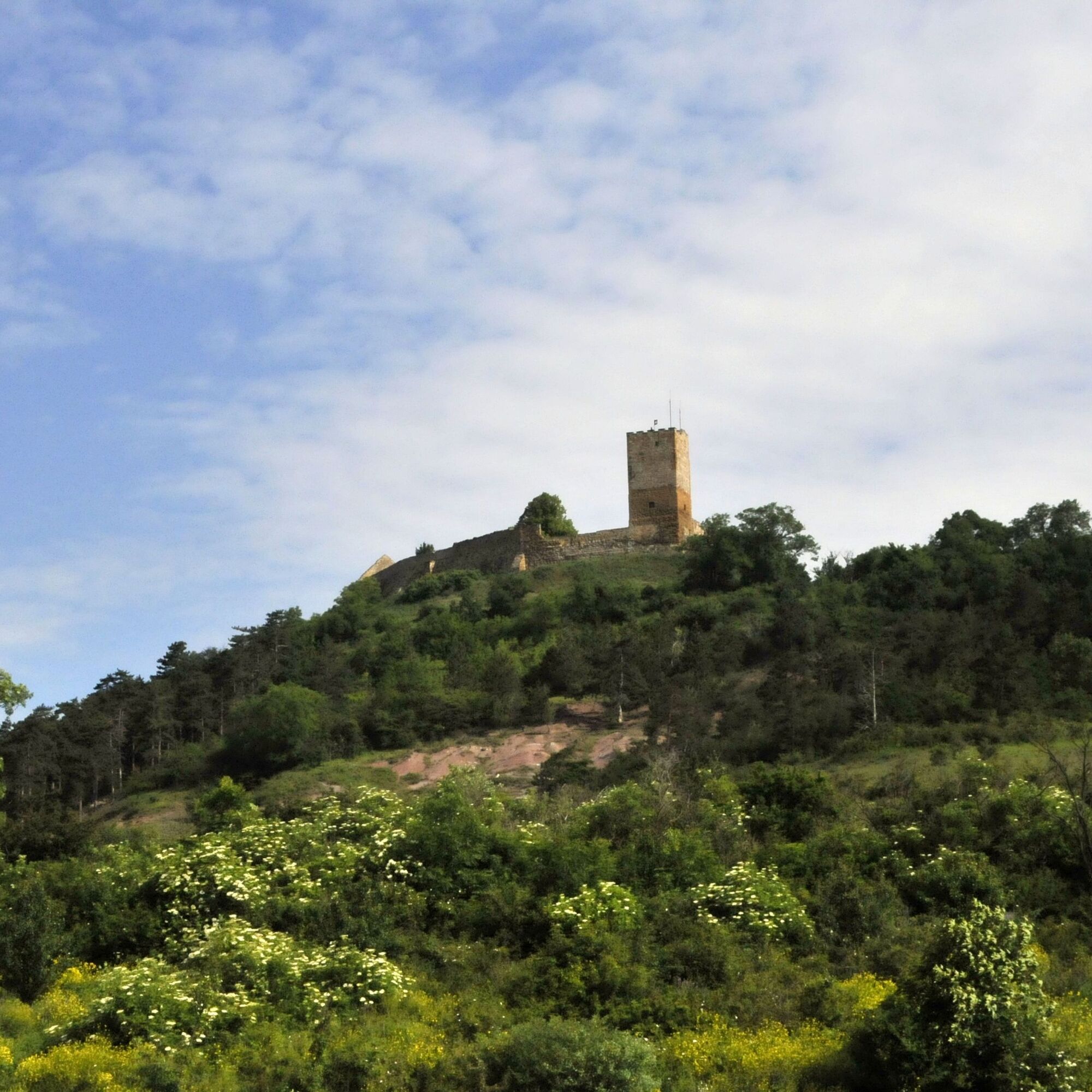
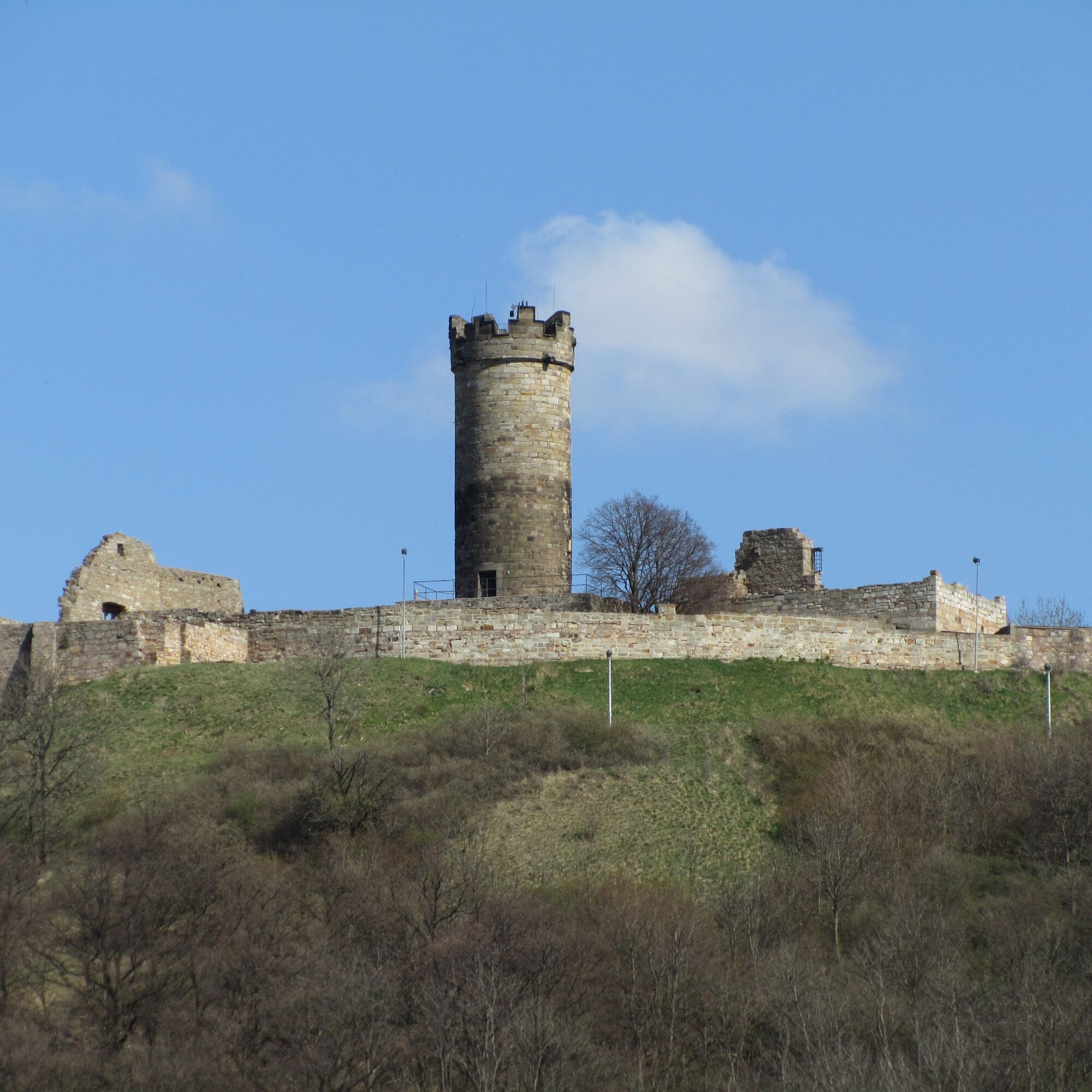
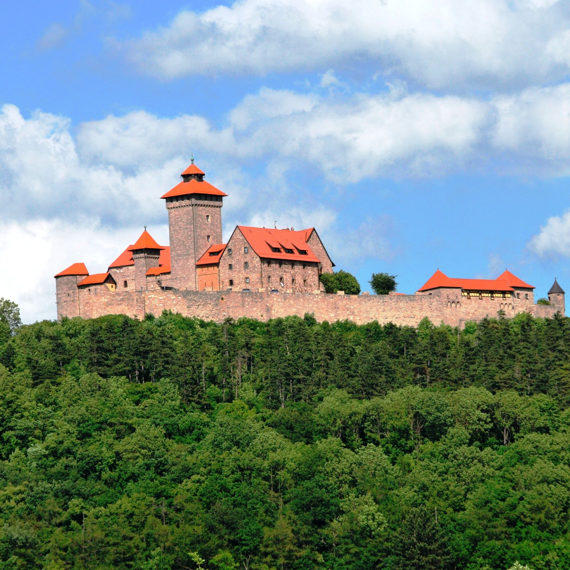
Riders who choose the shorter section head through Ingersleben and Neudietendorf on a scenic loop through the Drei Gleichen municipality. The castle ensemble of the same name, consisting of Gleichen Castle, Mühlburg, and Veste Wachsenburg, is the highlight of the route. Hobby cyclists circle the three hills on which the castles stand.
Halfway through the route, the refreshment station in Mühlberg offers a chance to refuel. Shortly thereafter, just before Holzhausen, the highest point of the route is reached. From Apfelstädt, the path heads back toward Erfurt. At Gothaer Platz, the final mood sets in for amateur cyclists, as only the slightly ascending Gothaer Street separates the participants from the finish line at the trade fair, where spectators await them.


Erfurt - Hochheim - Bischleben - Mariental - Ingersleben - Neudietendorf - Kornhochheim - Wandersleben - Seebergen - Wechmar - Mühlberg - Röhrensee - Holzhausen - Haarhausen - Sülzenbrücken - Kornhochheim - Neudietendorf - Ingersleben - Mariental - Bischleben - Hochheim - Erfurt
Road-legal bicycle
Bike helmet
First aid kit
Drink reserve
GPS navigation device or smartphone
Energy bars / gels
The route is mostly on public roads. Always pay attention to your safety, the roadworthiness of your bike, and other road users.
Coming from the A4 take exit 46 (Erfurt West) and then continue via the L3004 towards Erfurt city center.
You can reach Erfurt with trains of the Deutsche Bahn in local and long-distance traffic. Simply use the Deutsche Bahn travel planner at bahn.de for your travel planning.
Use the parking guidance system of the city of Erfurt. When transporting bicycles on the roof of your car, pay attention to the clearance heights of underground garages.
2
The route circles the Drei Gleichen - three castles that are the hallmark of the Erfurt basin.
Popularne wycieczki w okolicy
-
4,0
Arnstadt - Bittstadt - Holzhausen - Haarhausen
średniWędrówka 20,1 km -
4,0
Bach-Rad-Erlebnisroute
średniJazda na rowerze 64,5 km -
„Auf den Spuren starker Frauen" - Pilgern in Thüringen
średniTrasa pielgrzymki 54 km -
5,0
Grafen cycle route Drei Gleichen – circular route – Mühlberg
światłoJazda na rowerze 21,1 km -
Circular hiking trail - Arnstadt - Jungfernsprung - Alteburg
średniWędrówka 10,7 km -
4,5
GeoRoute 2 - "Panorama Route" - UNESCO Global Geopark Thüringen Inselsberg - Drei Gleichen
światłoTrasa tematyczna 18,2 km -
GeoRoute 3 - "Castle Route" - UNESCO Global Geopark Thuringia Inselsberg - Drei Gleichen
średniTrasa tematyczna 30,4 km -
4,0
Drei Gleichen
średniWędrówka 12,9 km -
Circular hiking trail - Around Arnstadt - Northeast route
średniWędrówka 25,7 km -
GeoRoute 5 - "Seeberg Route" - UNESCO Global Geopark Thuringia Inselsberg - Drei Gleichen
światłoWędrówka 29,3 km
Wędrówki i tropienie


Nie przegap ofert i inspiracji na następne wakacje
Twój adres e-mail została dodana do listy mailingowej.