






Bike Tour - "Mining Route" Saalfeld-Könitz-Saalfeld - Thuringian Forest
Poziom trudności: 2
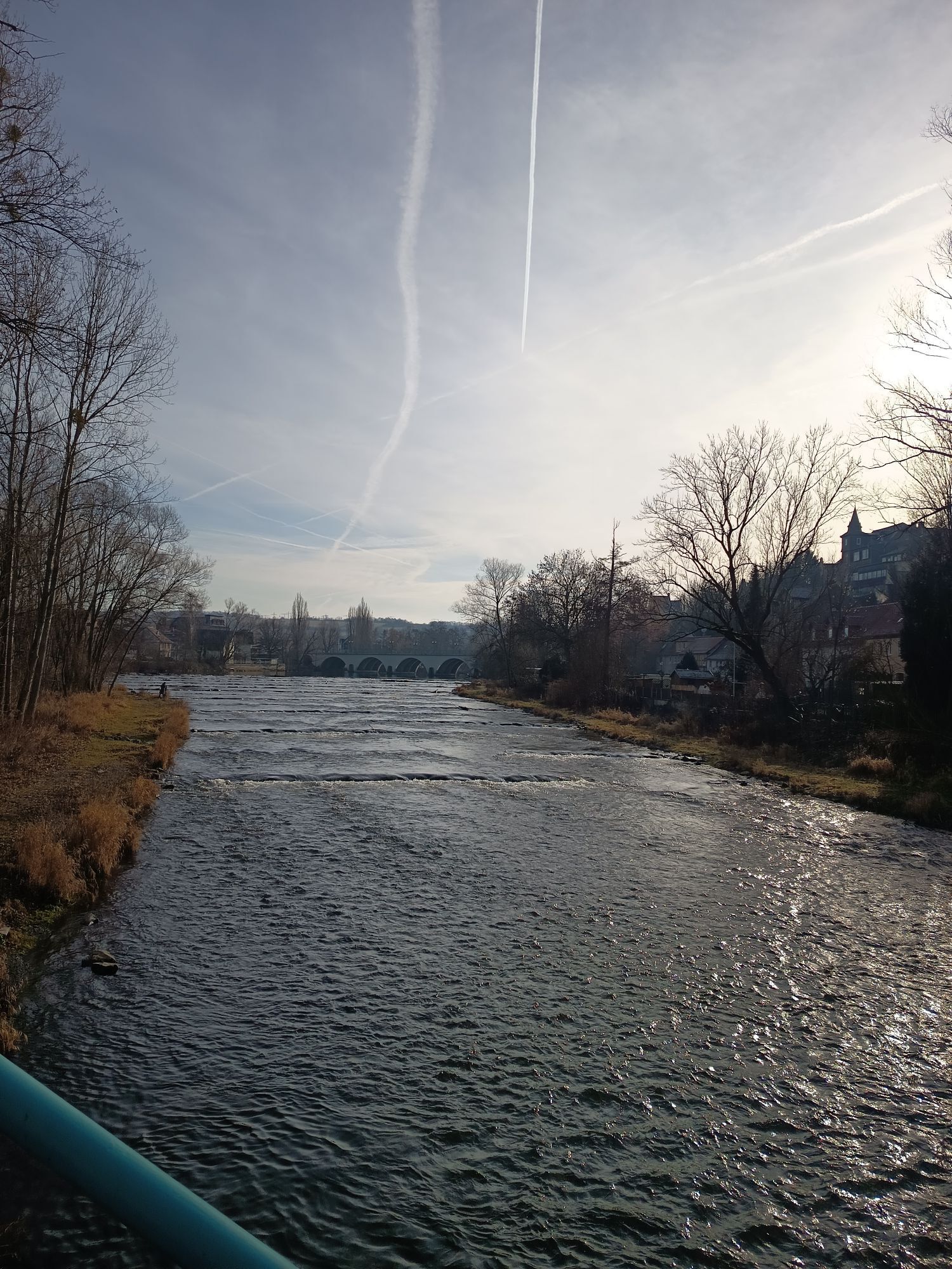
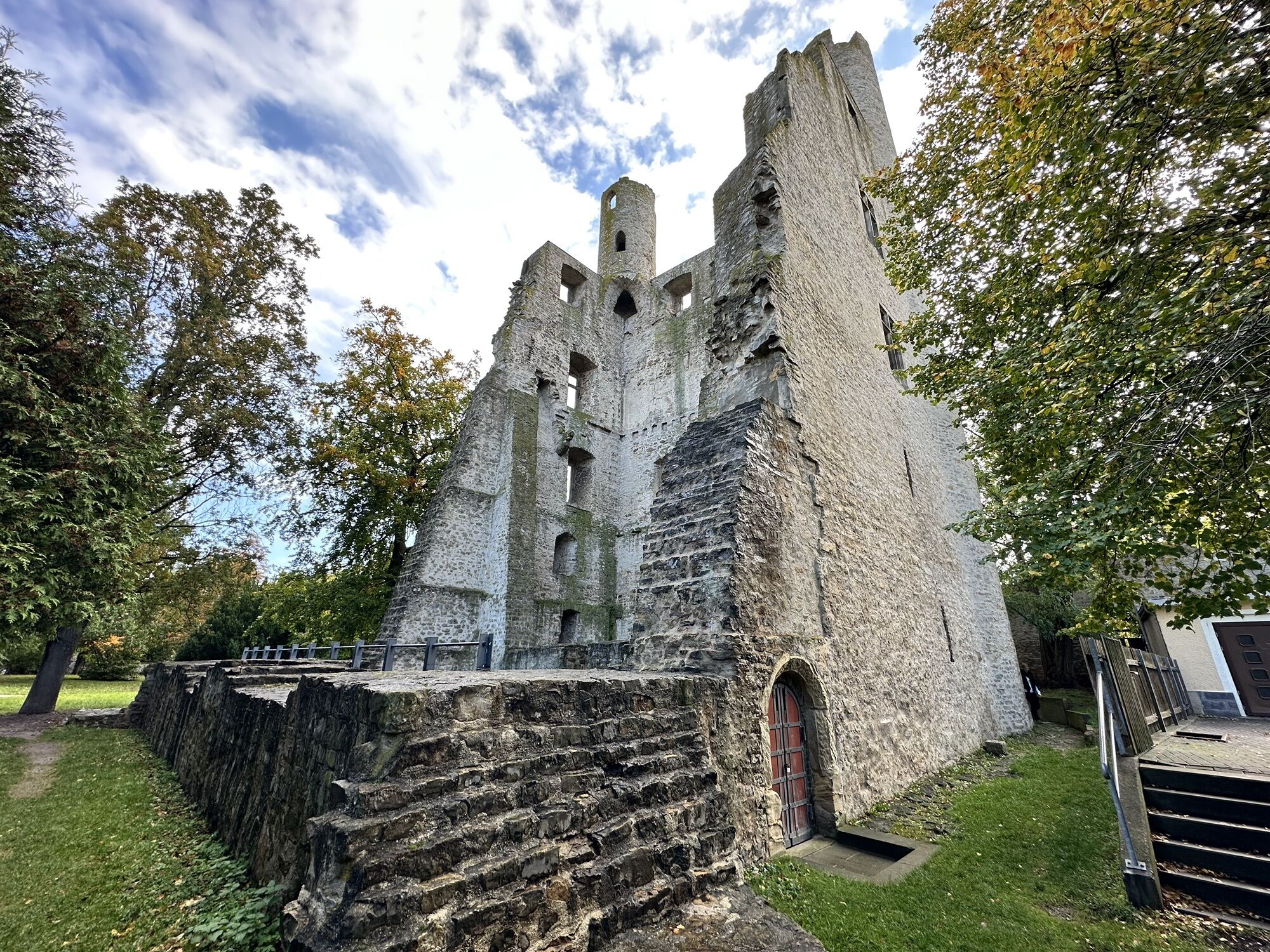
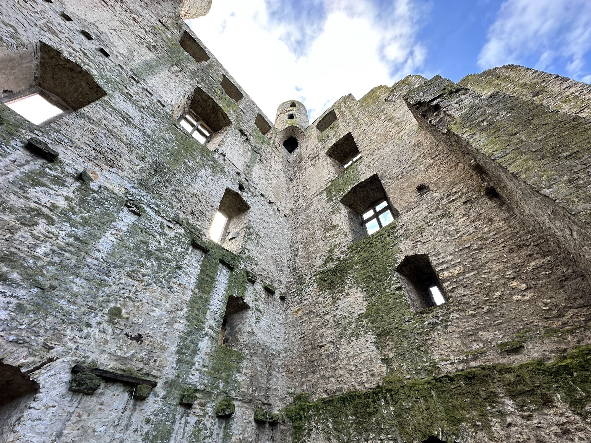
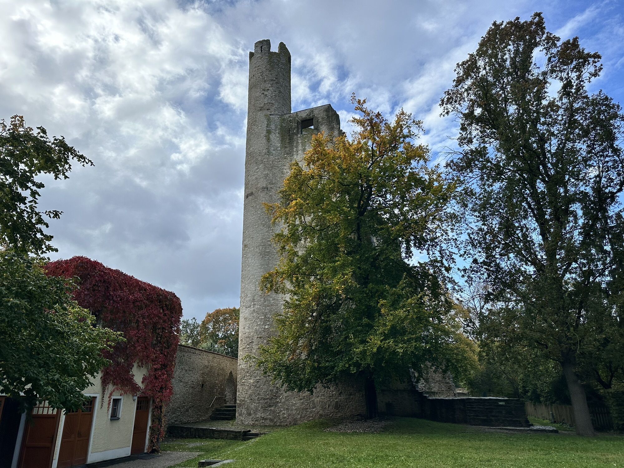
The Bergbahnroute bike loop passes through the towns of Saalfeld, Unterwellenborn, Könitz, and Kamsdorf. The route marking shows a cyclist on brown rock with the logo "Pick and Hammer".
Along the route,...
The Bergbahnroute bike loop passes through the towns of Saalfeld, Unterwellenborn, Könitz, and Kamsdorf. The route marking shows a cyclist on brown rock with the logo "Pick and Hammer".
Along the route, you will find numerous references to the mining that gave the trail its name. This is still visible today in the variety of exposed rock types. It's not just about extracting building materials, as seen in the large-scale mine at Kamsdorf, but also about mining ore used as a metal and pigment raw material. This led to the development of the smelting industry in the region, with a significant example being the history of the Thuringia steelworks in Unterwellenborn.
The famous Saalfeld Fairy Grottoes, considered the most colorful grottos in the world, are also an impressive result of the former mining activity.
A particularly interesting starting point for your route is the visitor mine in Kamsdorf. Through two cleverly designed underground loops, you gain impressive insights into different mining periods. If you are adventurous, you can even explore the southern mining area underground over more than 500 meters by train in original crew cars.
From the visitor mine, you can continue your bike route via Eisenstraße and then via Rote-Berg-Straße towards Saalfeld.
Along the way, you will encounter many beautiful views – for example, from the "Wernburg" viewpoint into the scenic natural park area "Thuringian Slate Mountains/Upper Saale", or from the "Schwedenschanze" over the town of Saalfeld.
In Unterwellenborn-Röblitz, at Talbachweg, there is also a worthwhile view of the industrial site "Maxhütte" with the impressive industrial monument "Gas Engine Central".

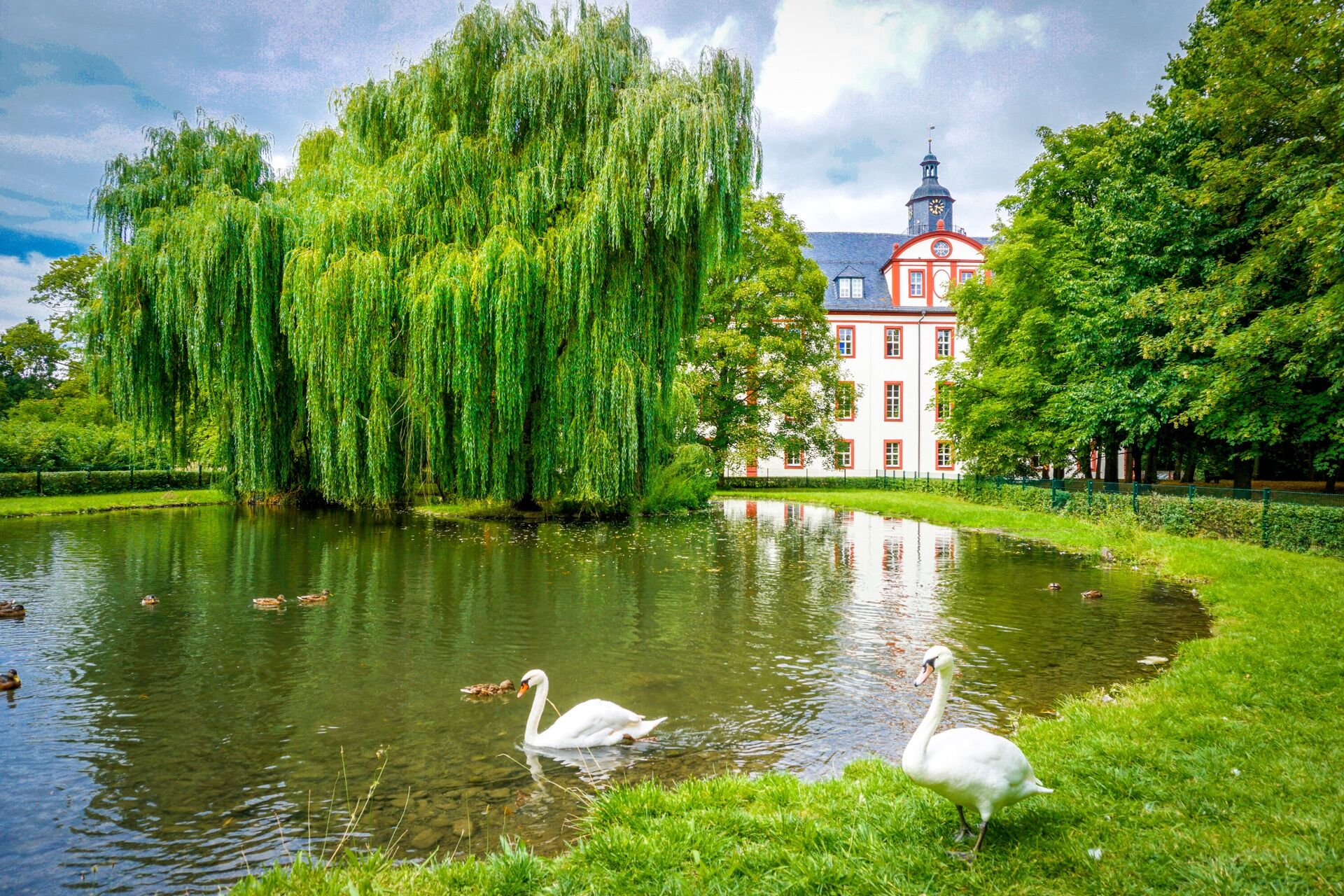
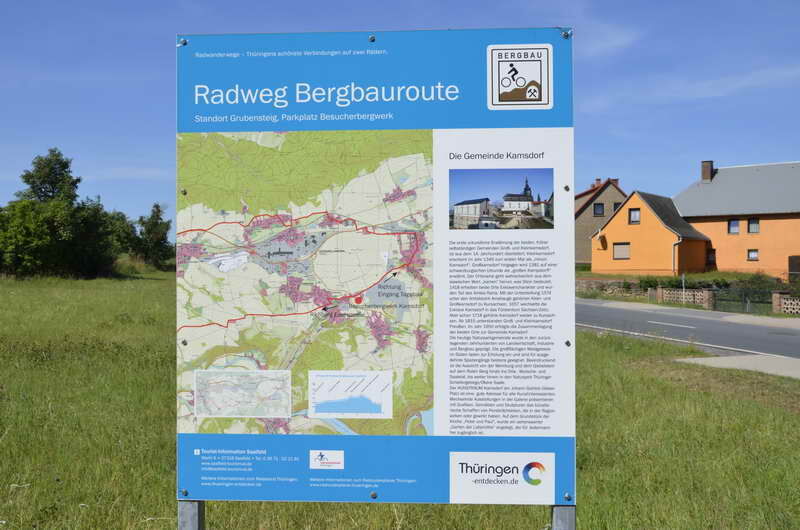
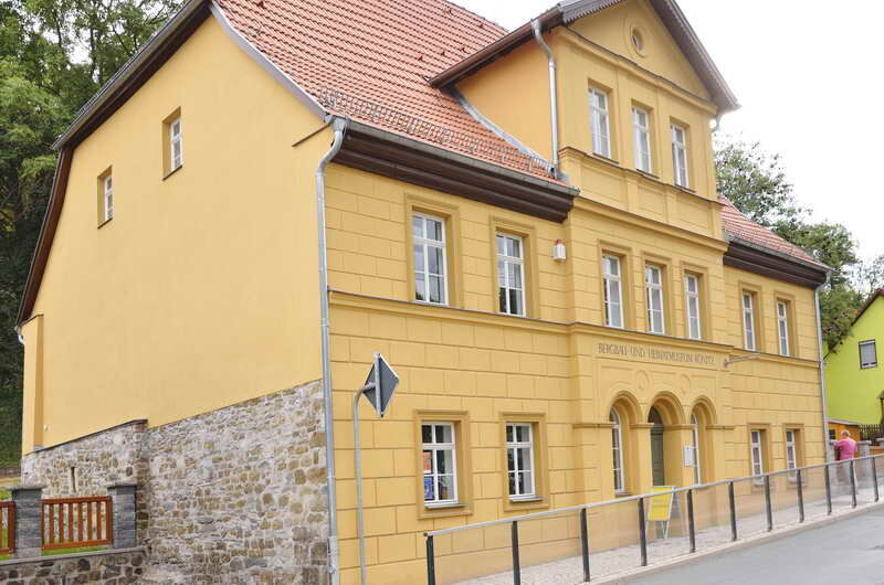
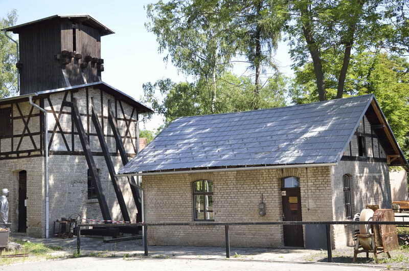
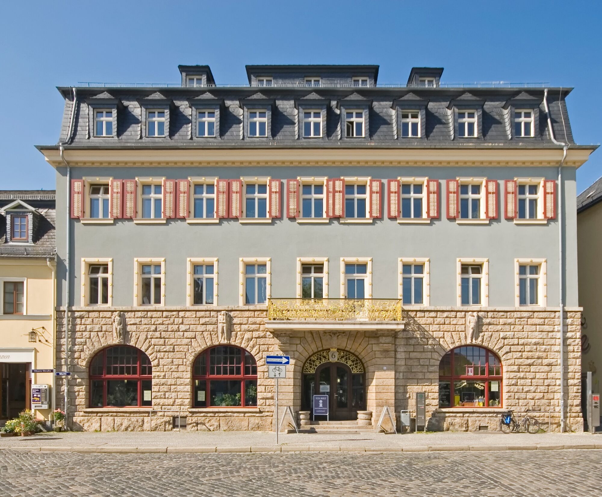
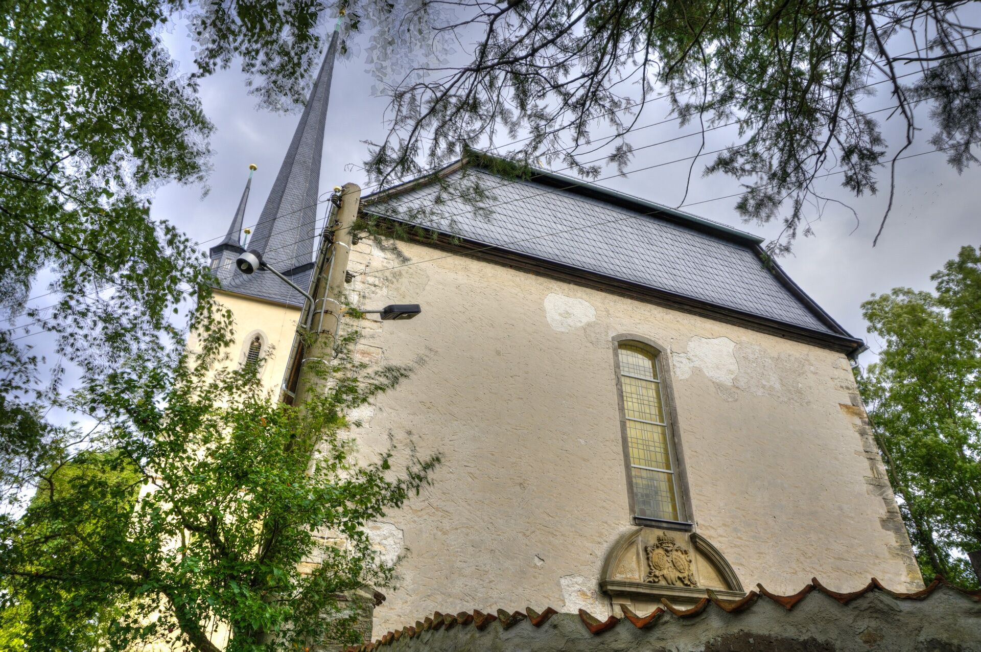
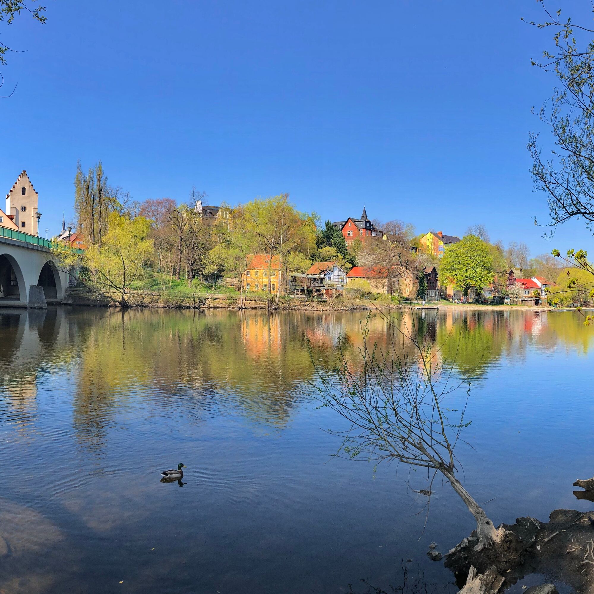

Saalfeld, Zeisssteg - Saale riverbank upstream - Saale crossing - Altsaafeld - railway curve - towards Unterwellenborn - Röblitz - Oberwellenborn - bird protection area - village of Könitz - large-scale opencast mine Kamsdorf - visitor mine Kamsdorf - village of Kamsdorf - towards Saalfeld - Saalfeld district Köditz - Saale bridge - stadium - Saale meadows - Saalfeld Zeisssteg
Tak
Tak
Functional clothing
adequate beverage supplies
first aid kit
GPS navigation device
flat tire repair kit
The route partially follows public roads. Please always pay attention to other road users and observe the traffic regulations.
Check your bike for roadworthiness before departure (lights [front / rear], reflectors)
The route is fully approved for use with e-bikes and pedelecs.
From the A9, exit Triptis - B 281 Pößneck - Könitz heading towards Saalfeld
From the A71, exit Stadtilm - B90 towards Saalfeld
For those arriving by train, the route can begin at the stations in Saalfeld, Unterwellenborn, or Könitz.
Bus connections are available in Saalfeld, Unterwellenborn, Oberwellenborn, Könitz, and Kamsdorf.
Information on bike transport by bus or train:
Train: www.bahn.de
Bus: From 01.05. - 31.10., the bike buses of Kombus operate in the Saalfeld-Rudolstadt and Saale-Orla districts, linking to Jena, Gera, Erfurt, Weimar, Ilmenau, and Neuhaus am Rennweg.
Information is available at https://www.kombus-online.eu/angebote/Fahrrad/Rad_allgemein/
Visitor Mine Kamsdorf
Saalfeld Train Station
Saalfeld Fire Department
2
A detour to the Saalfeld Fairy Grottoes, the Visitor Mine Kamsdorf or an MTB underground tour in the visitor mine
Popularne wycieczki w okolicy
- 4,8
Circular hiking trail - "To the most beautiful viewpoints" - Thuringian Forest
średniWędrówka 12,8 km - 4,8
Circular hiking trail - H5 "The Water Route" - Thuringian Forest
średniWędrówka 6,58 km - 4,7
Circular hiking route - H3 "The Bird's Eye View" - Thuringian Forest
średniWędrówka 8,78 km - 4,0
Circular route - “To the Strudel pots of the Schwarza” - Starting point at the Chrysopras weir - Bad Blankenburg
średniWędrówka 9,01 km - 4,0
Circular route - "Wichtelweg" - Wilhelmsdorf
światłoTrasa tematyczna 2 km - 5,0
Hohenwarte Reservoir Way - Section 2 - Camping Wilhelmsdorf Portenschmiede → Ziegenrück
ciężkiWędrówka 18,2 km Circular hike - "Friedrich Fröbel" - Bad Blankenburg
ciężkiWędrówka 14,4 km- 5,0
Urwaldpfad Leutenberg - Thuringian Urwaldpfade
średniWędrówka 6,82 km Circular trail - Saugartenpfad - Hiking start at Chrysopraswehr - Bad Blankenburg
średniWędrówka 8,39 km- 5,0
Kulm route
średniWędrówka 9,39 km

Wędrówki i tropienie


Nie przegap ofert i inspiracji na następne wakacje
Twój adres e-mail została dodana do listy mailingowej.





