






MTB Saalfeld 01: circular route - great panoramas around Saalfeld
Poziom trudności: S2
⚠️ Riding the route counterclockwise.
The tour of many beautiful views around the still secret mountain bike paradise in southeastern Thuringia begins with the ascent to Eyba via Fox tower. This continues...
â ï¸ Riding the route counterclockwise.
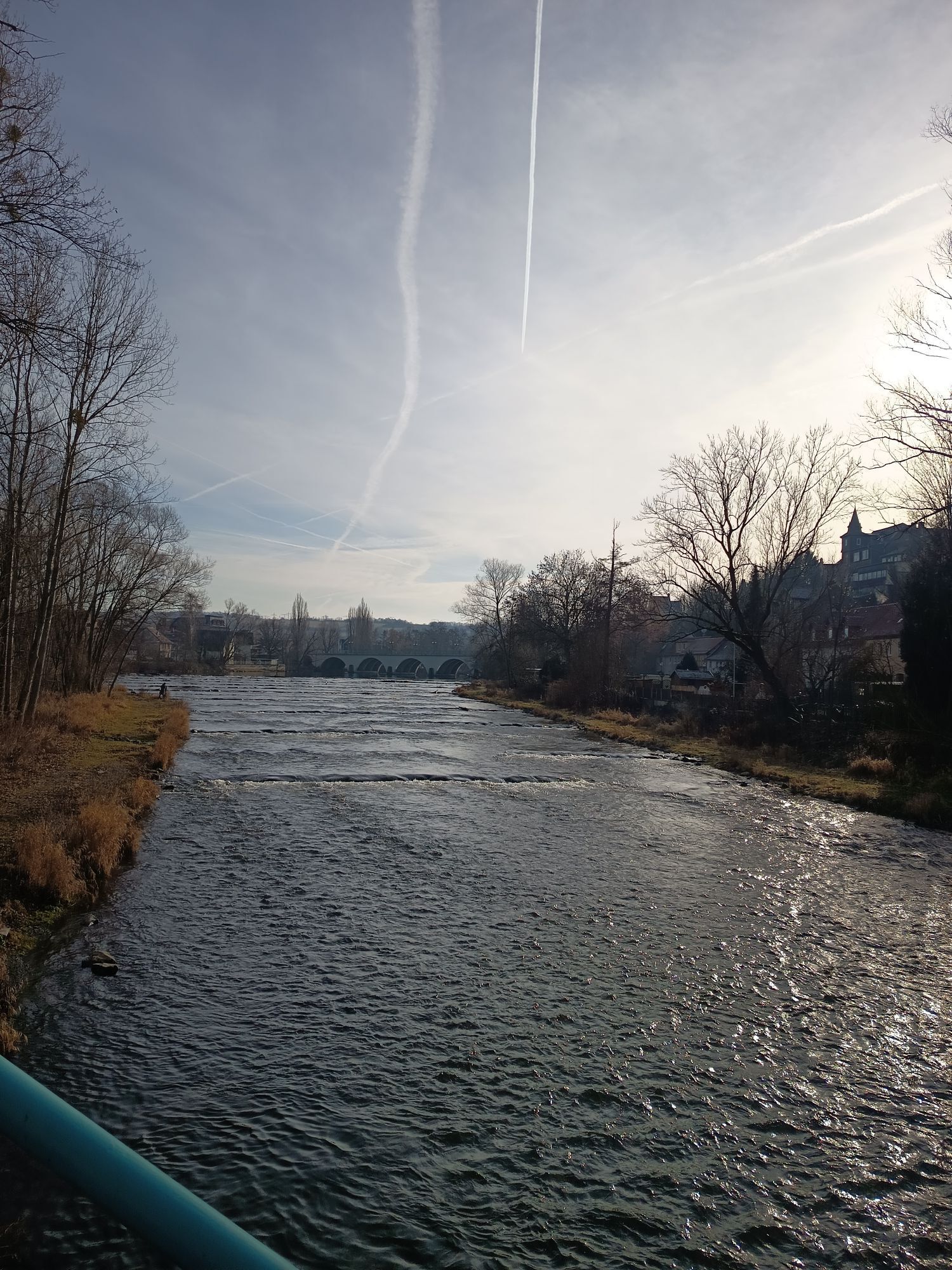
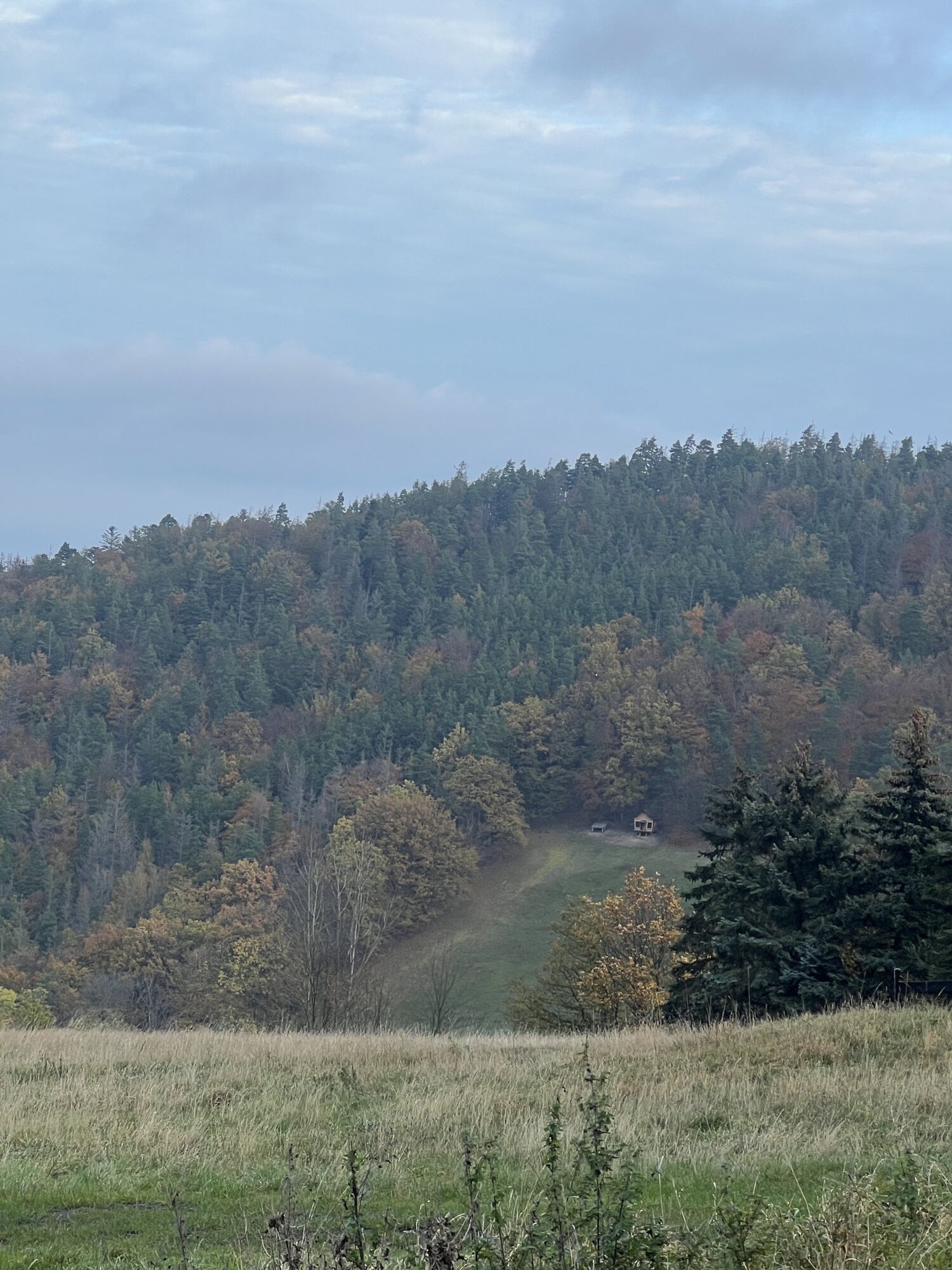
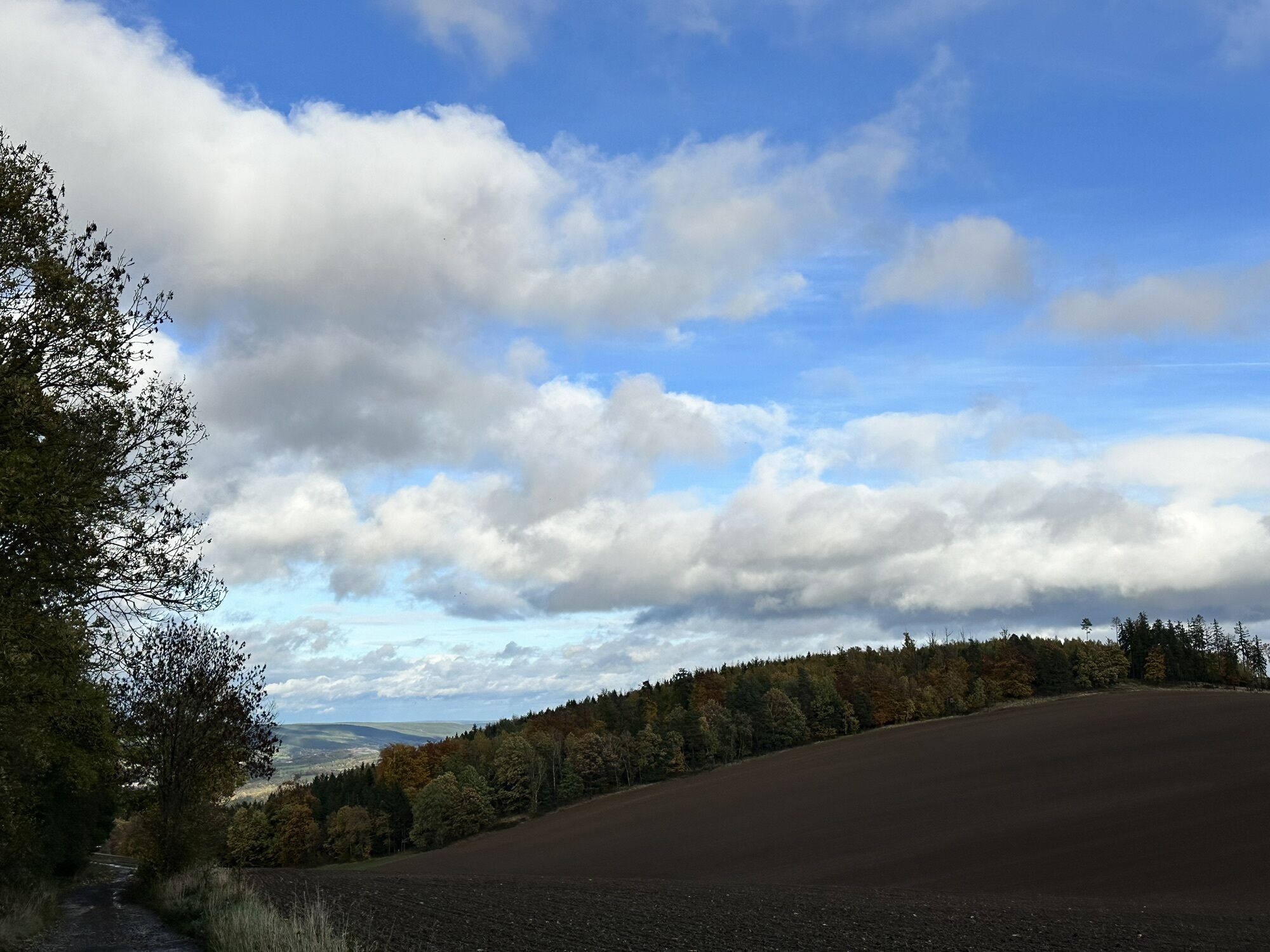
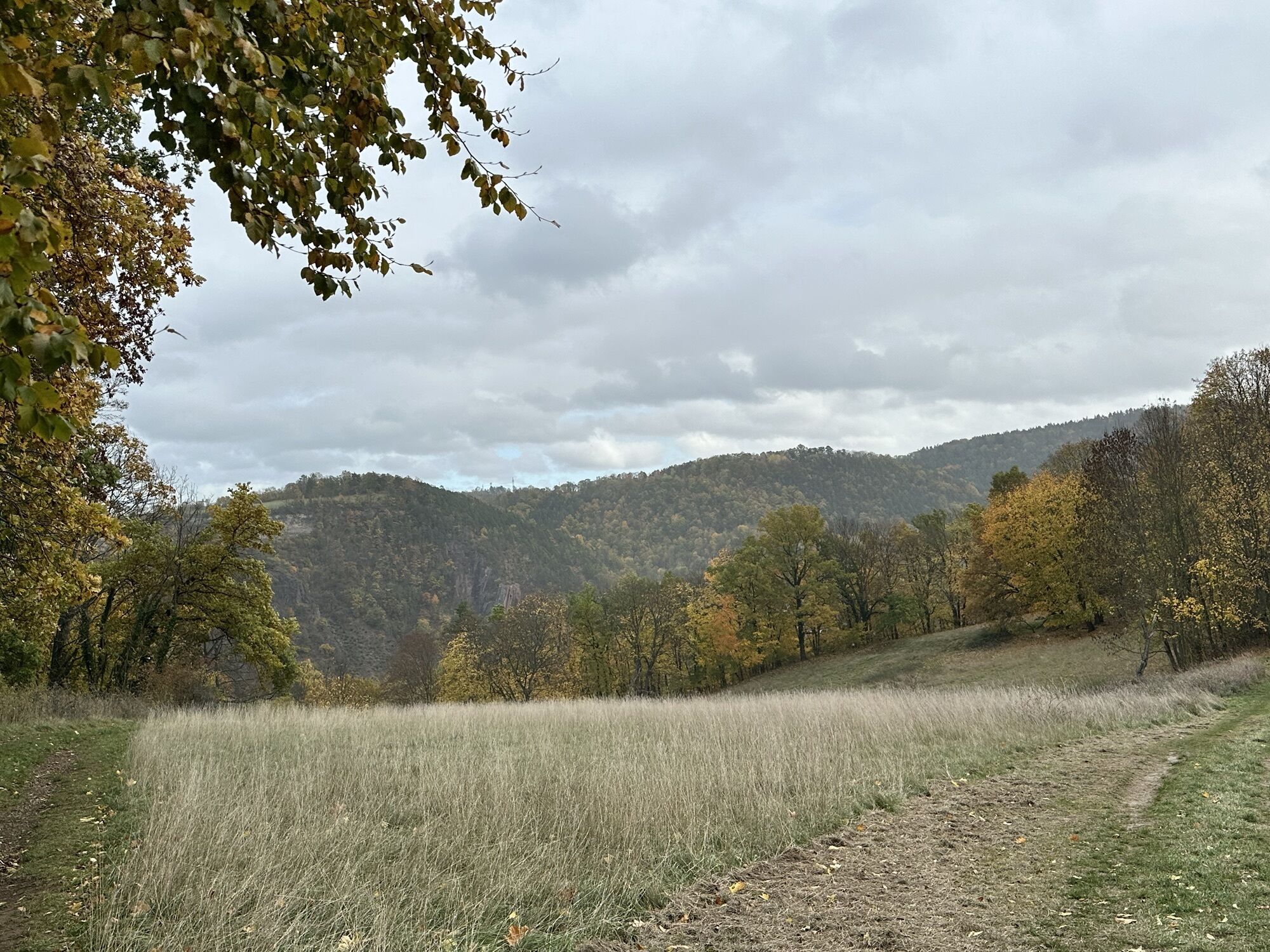
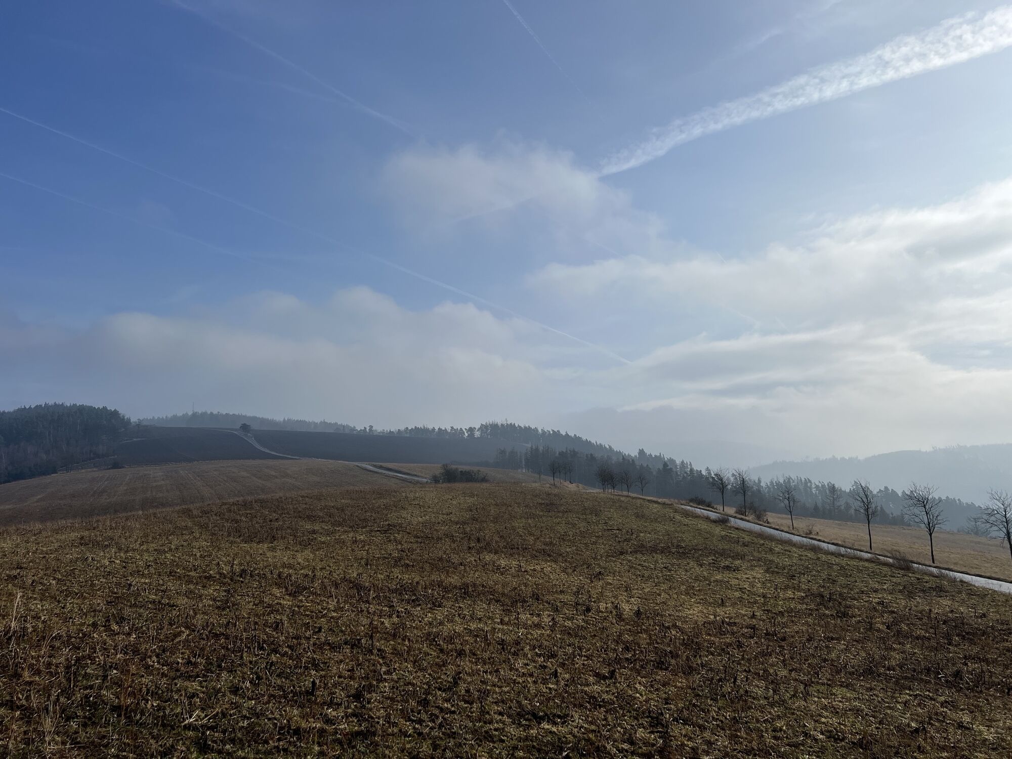
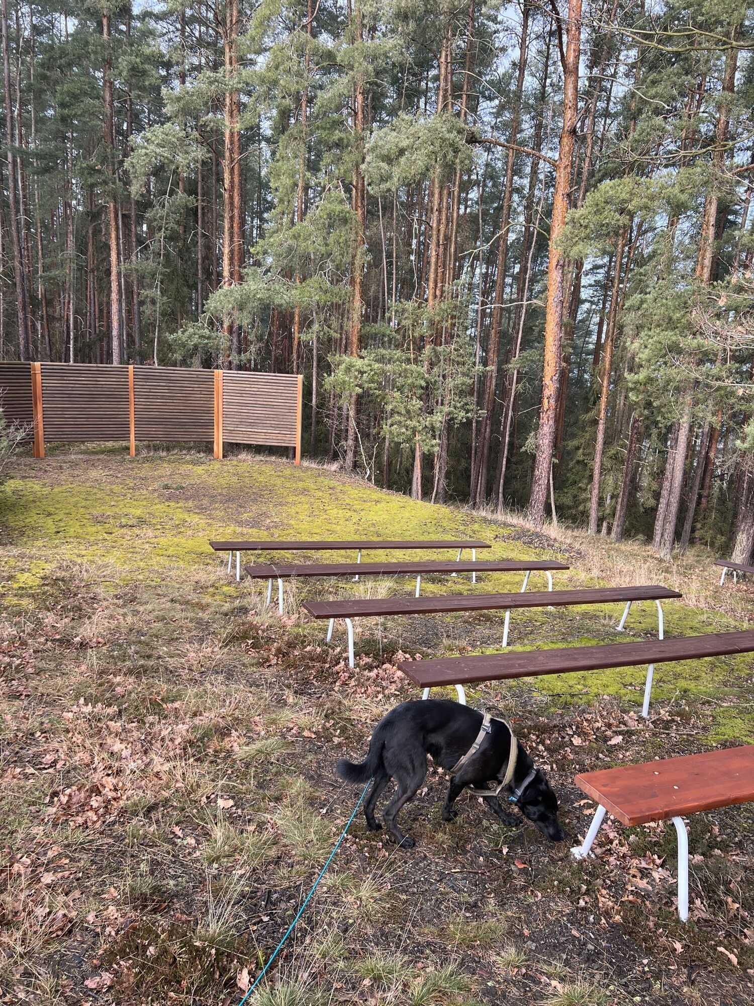
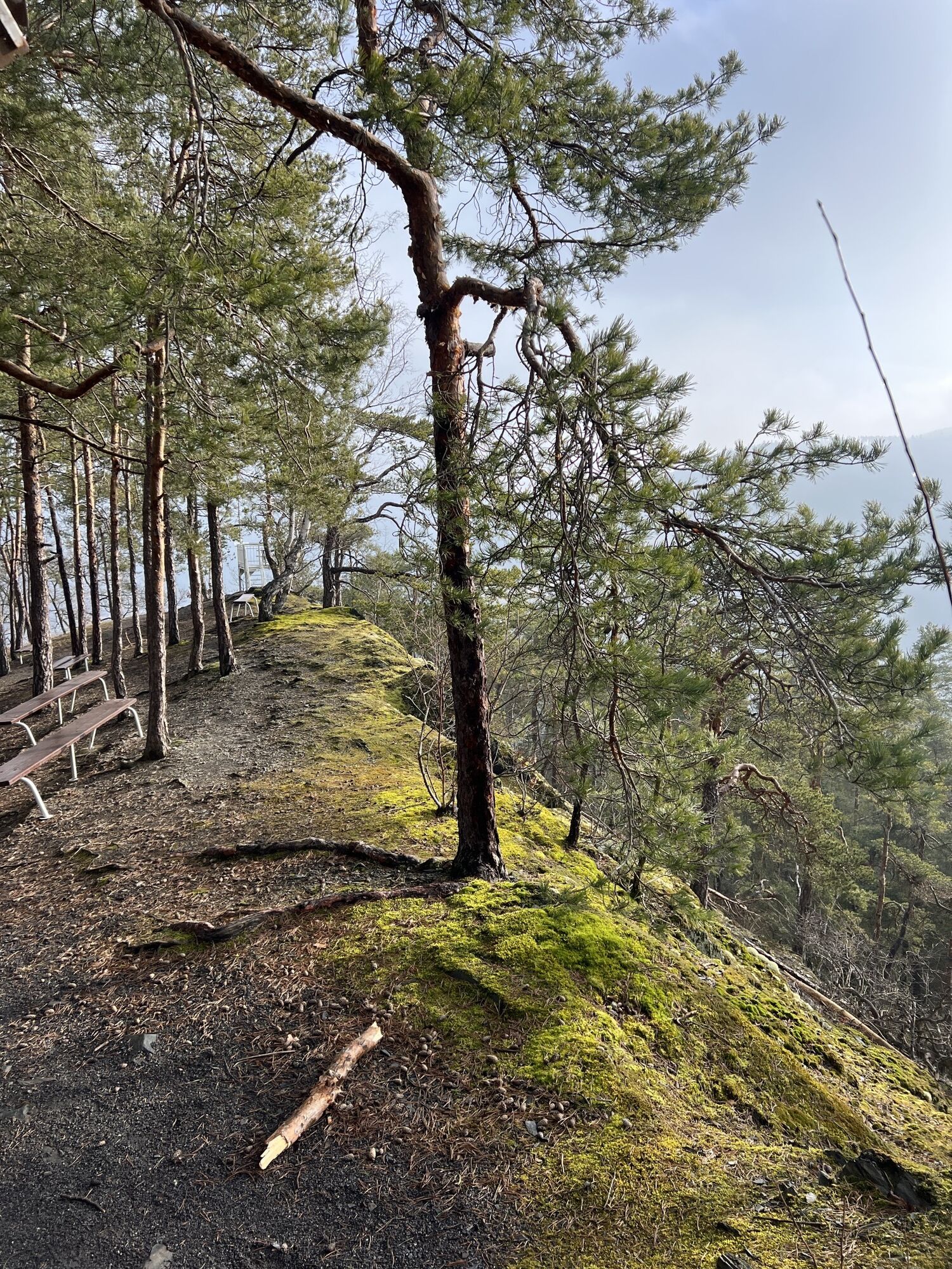
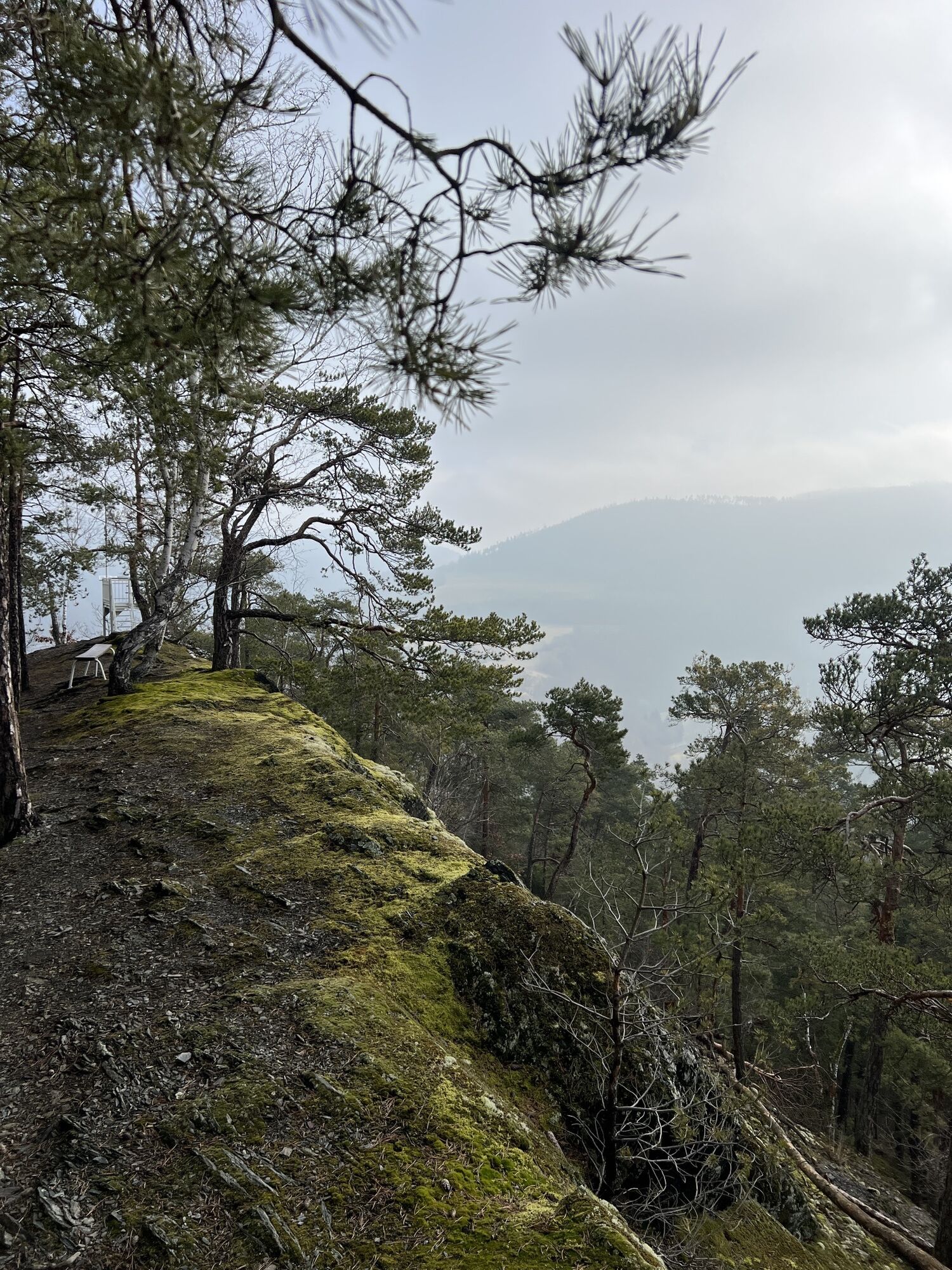
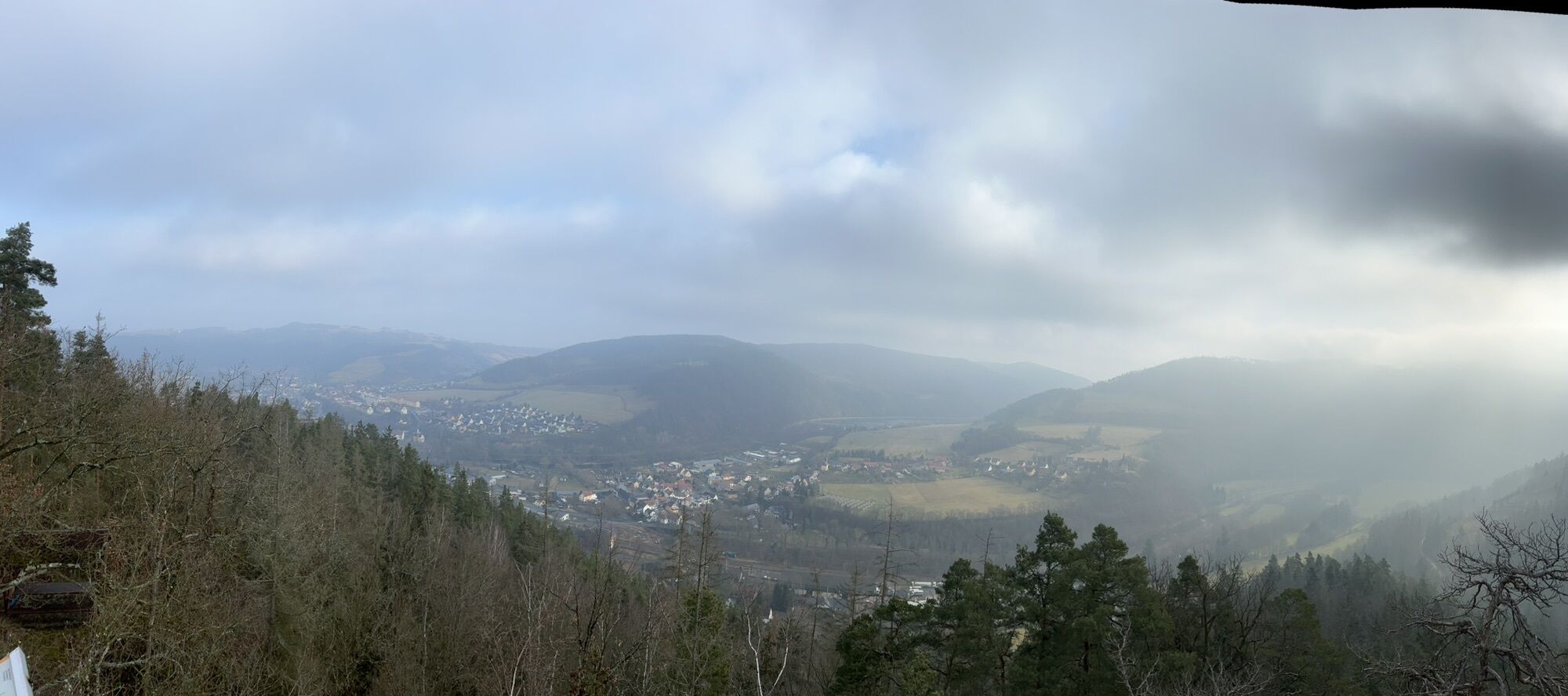
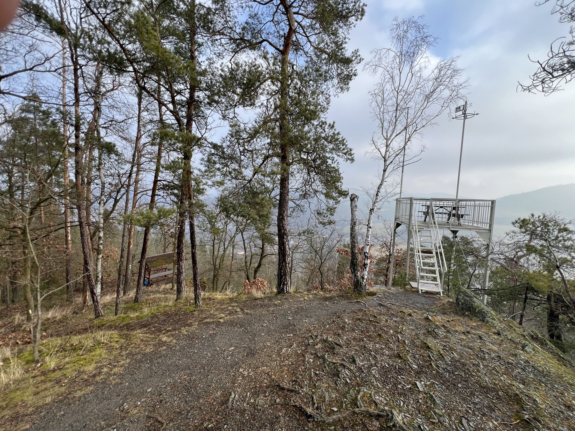
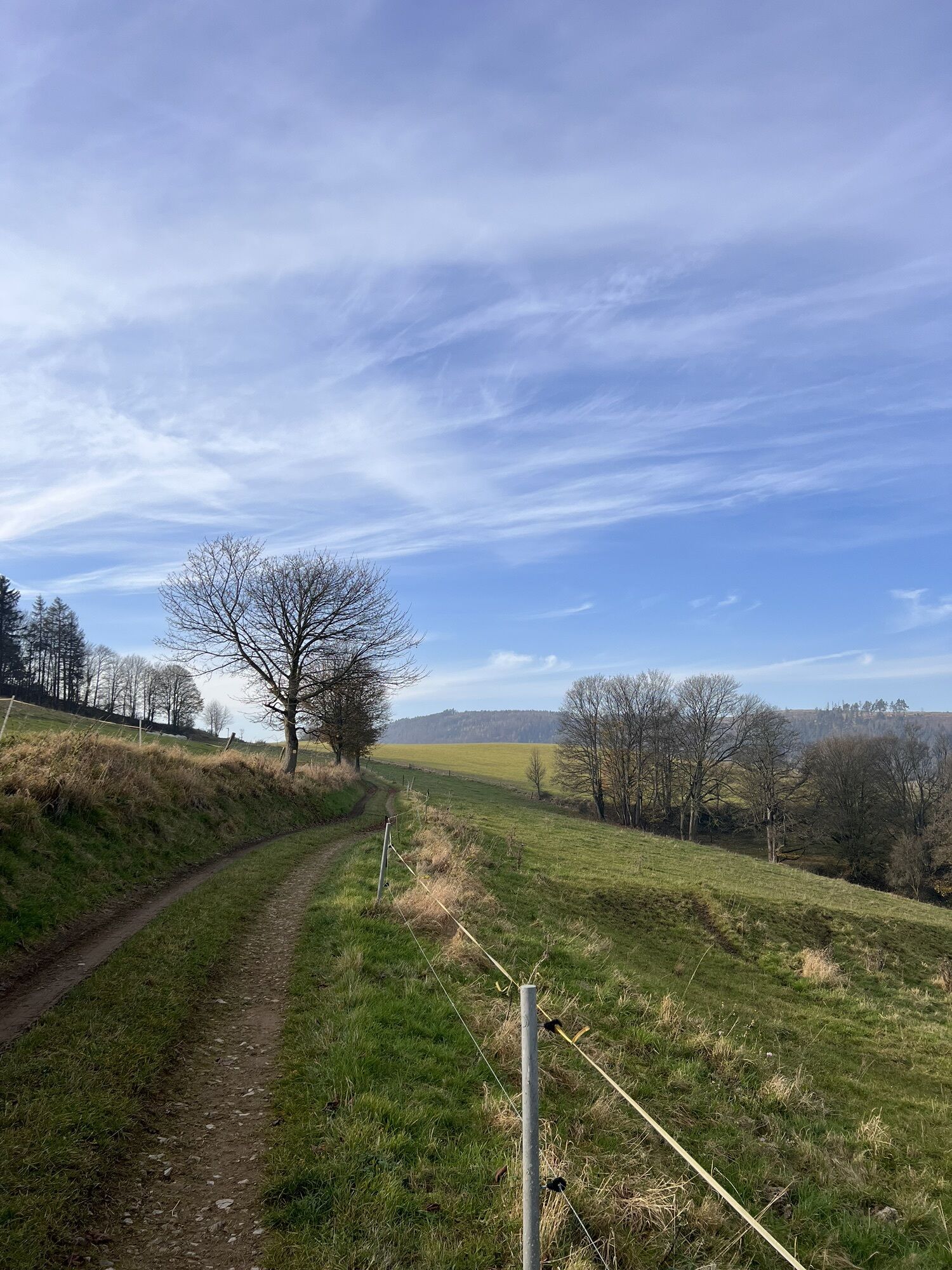
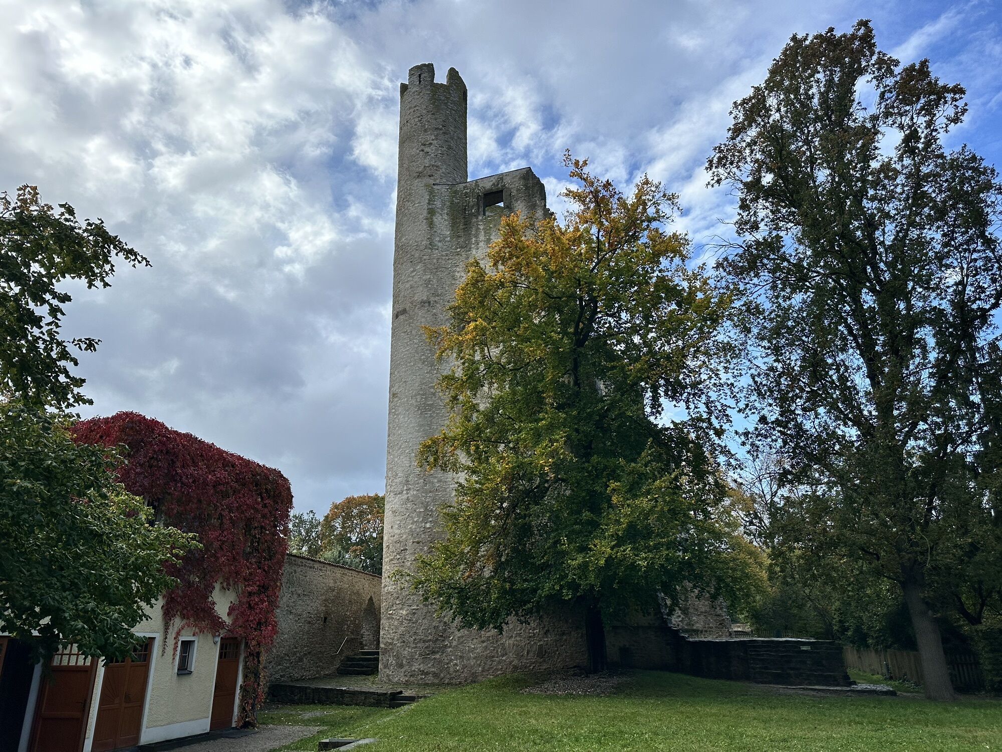
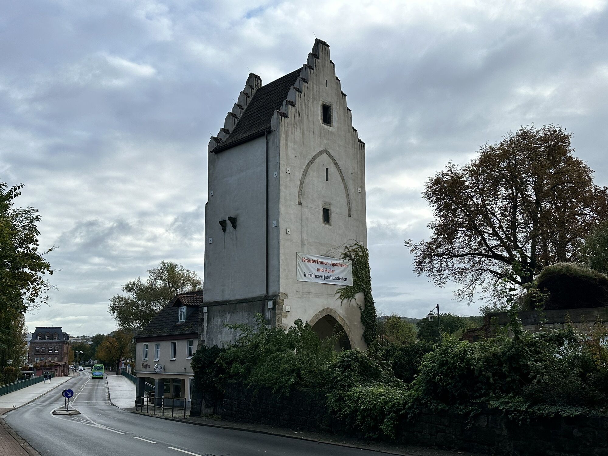
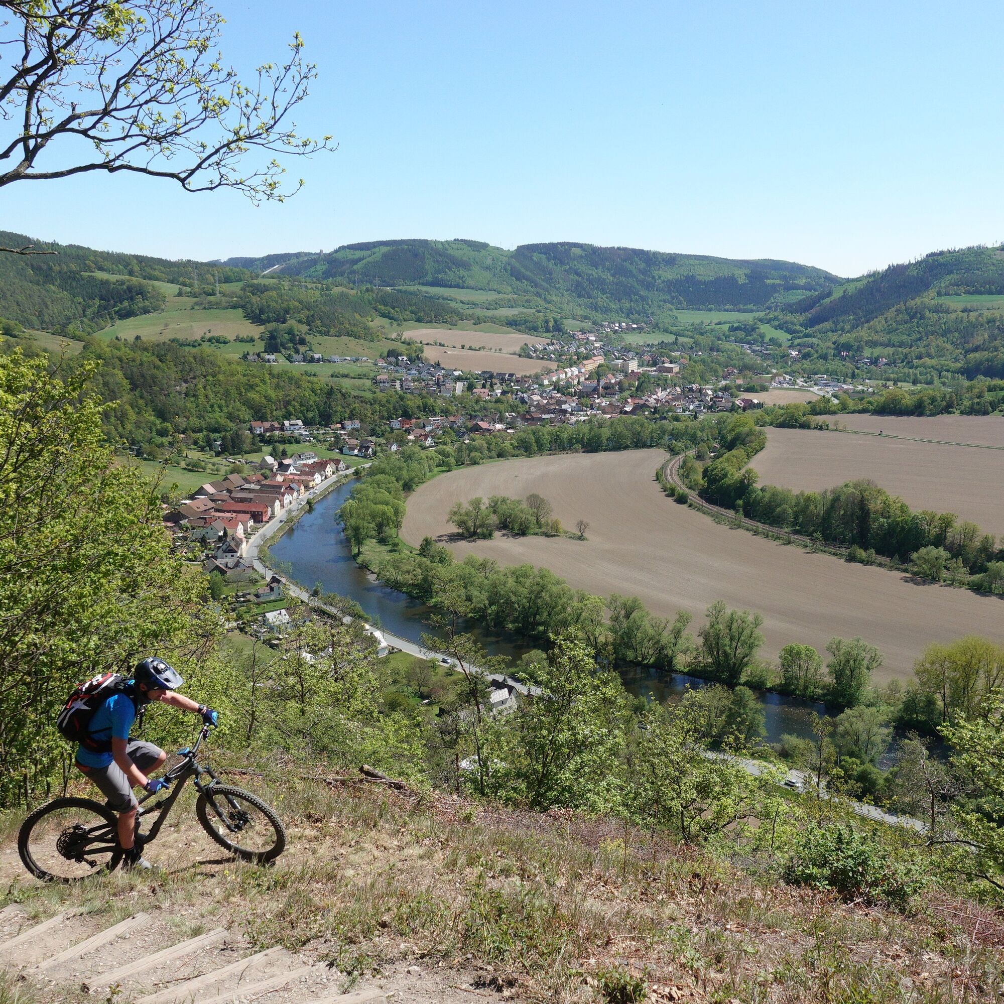
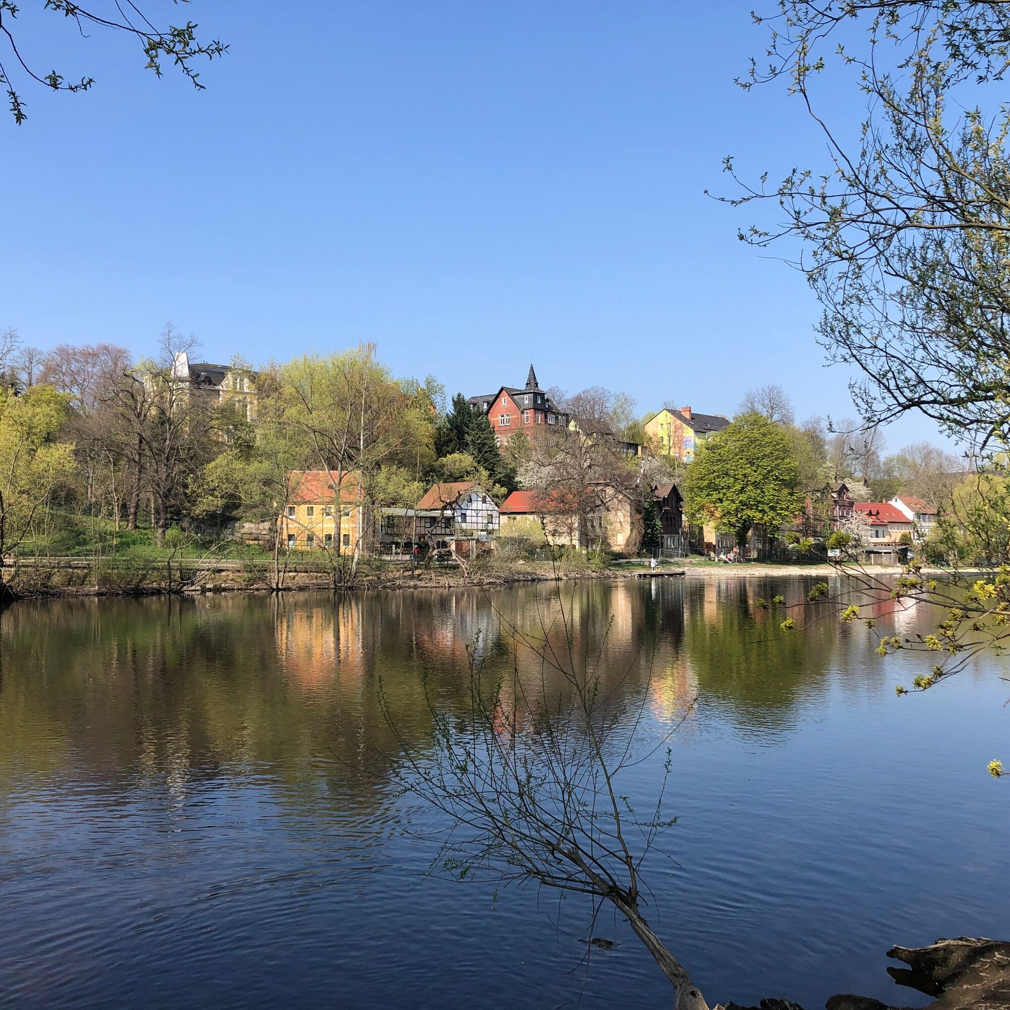
The tour of many beautiful views around the still secret mountain bike paradise in southeastern Thuringia begins with the ascent to Eyba via Fox tower. This continues on the route that now leads along a rarely used, scenically appealing path to the idyllic village of Lositz. Is the Halleluja hut with the 360-degree panorama on Raven hill the highlight of this tour? Or perhaps the Lohm tower with a view towards the reservoir or the "Shelter Zur Nase" with its views into the Saale valley? In between is also the Holzberg as a starting point for hang gliders with its free view field towards its counterpart - the cableway. To find out which is the personal highlight of this tour, you have to ride this route.
Along the way, the Mandarin ice café in Kaulsdorf invites you to a nice stop at just the right place. And if you are not done after this tour, you might add the short variant of the Kulm double trail tour. This is quickly reached via the Saale cycle route to Remschütz.

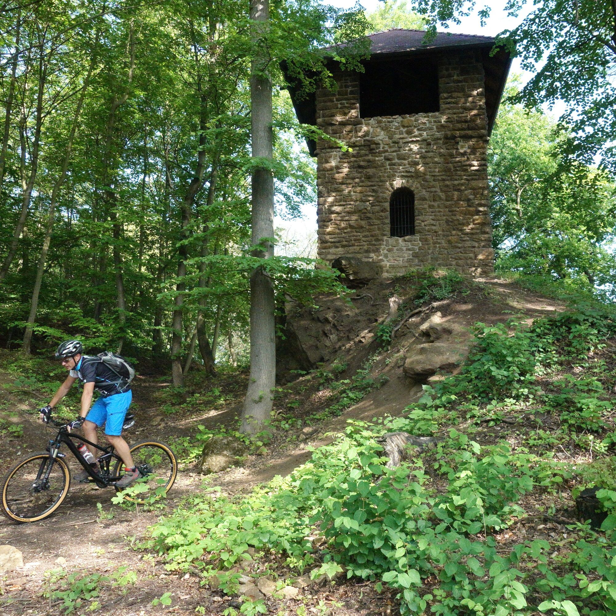
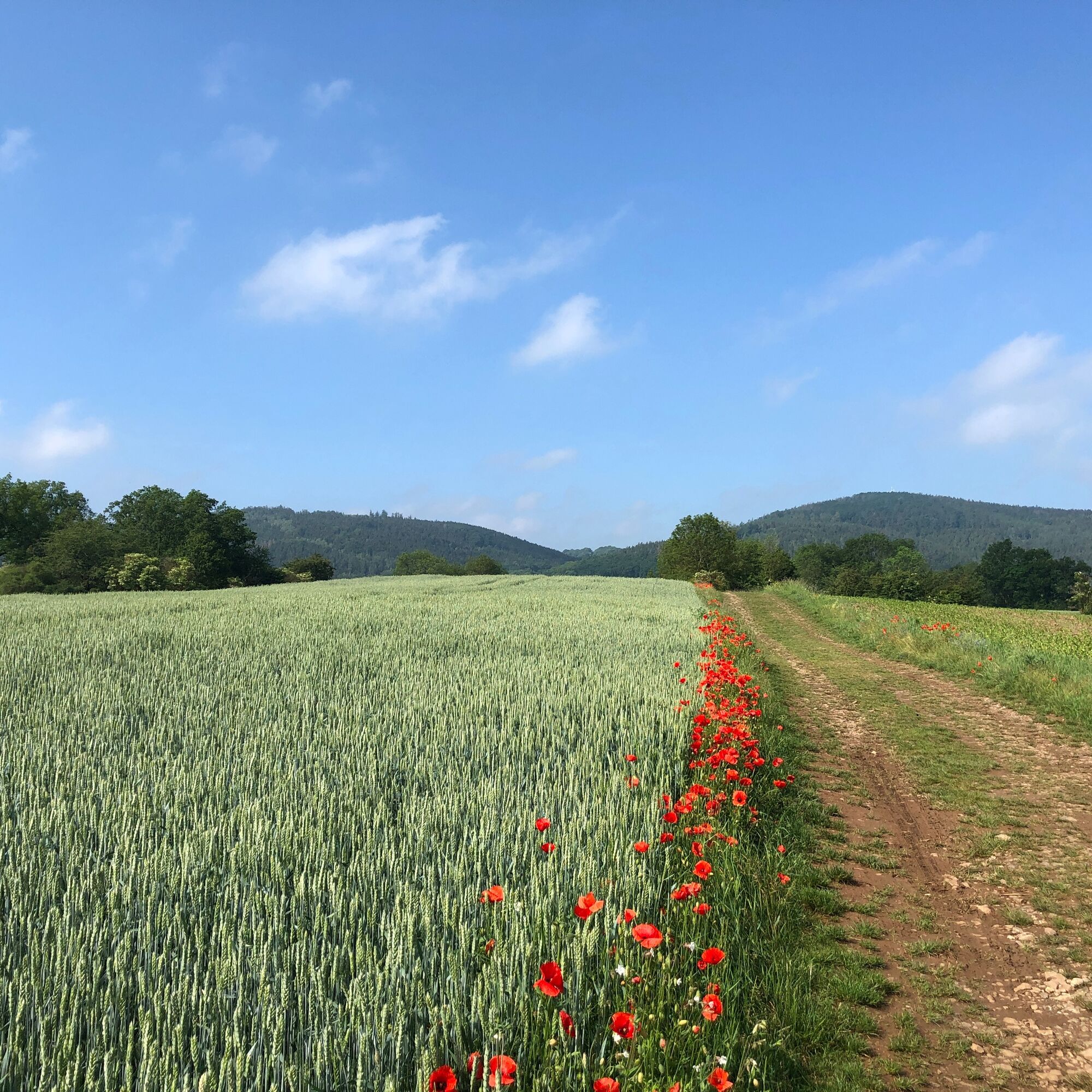
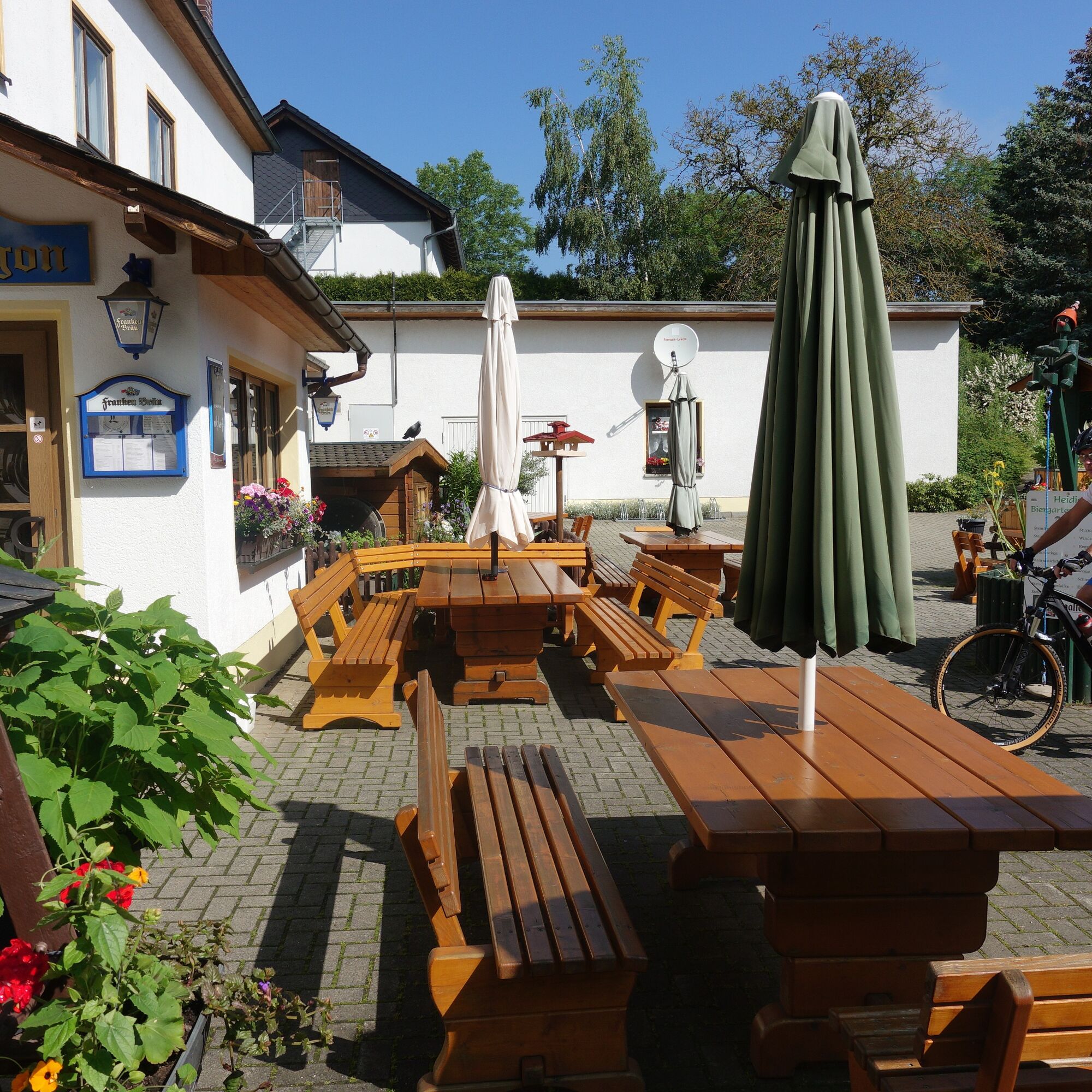
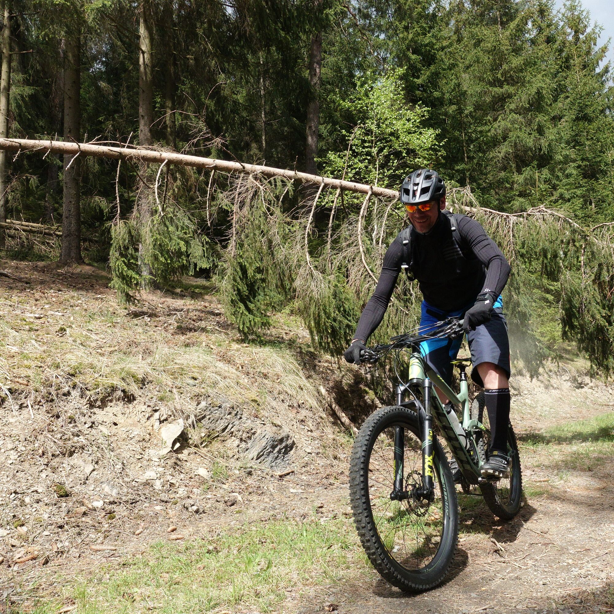
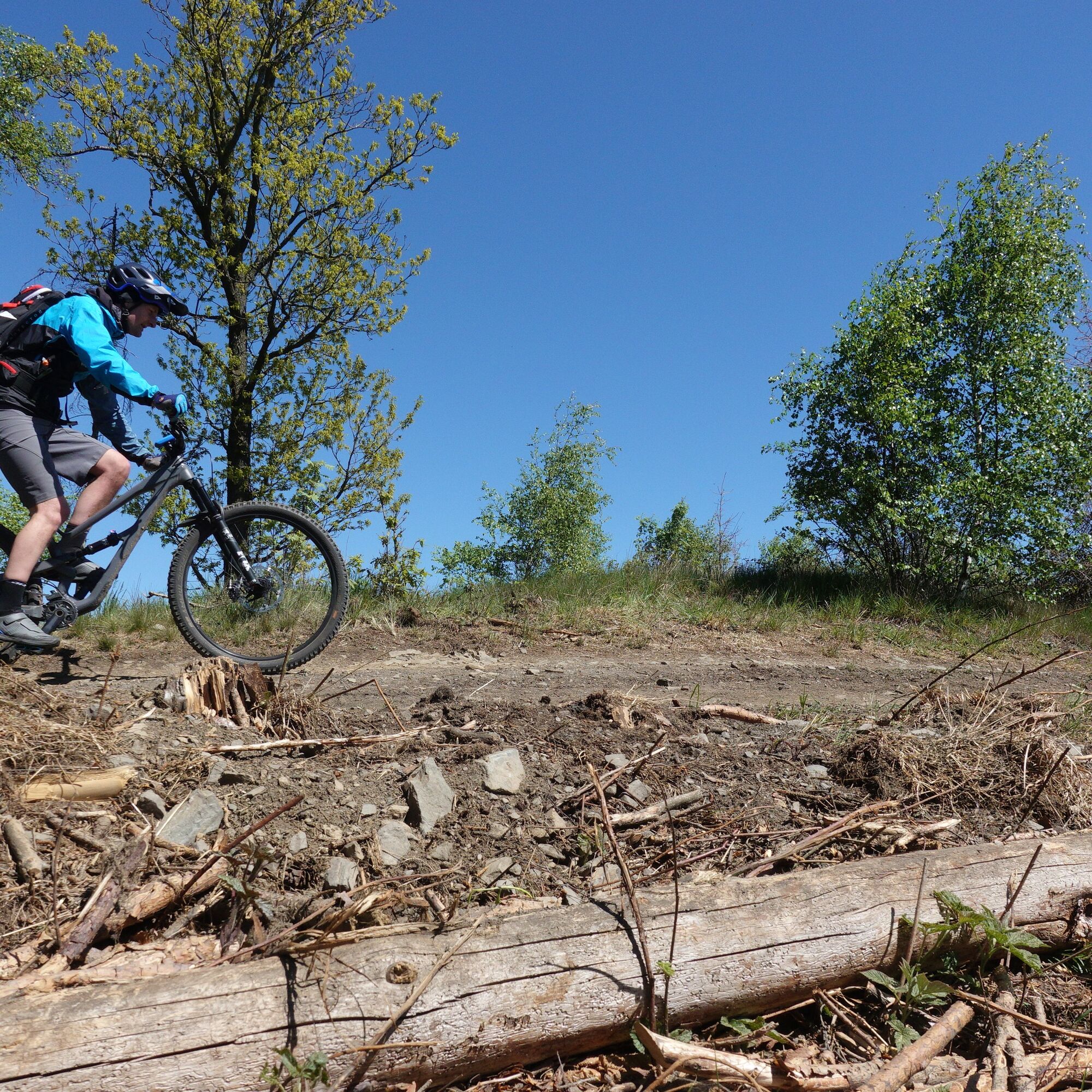
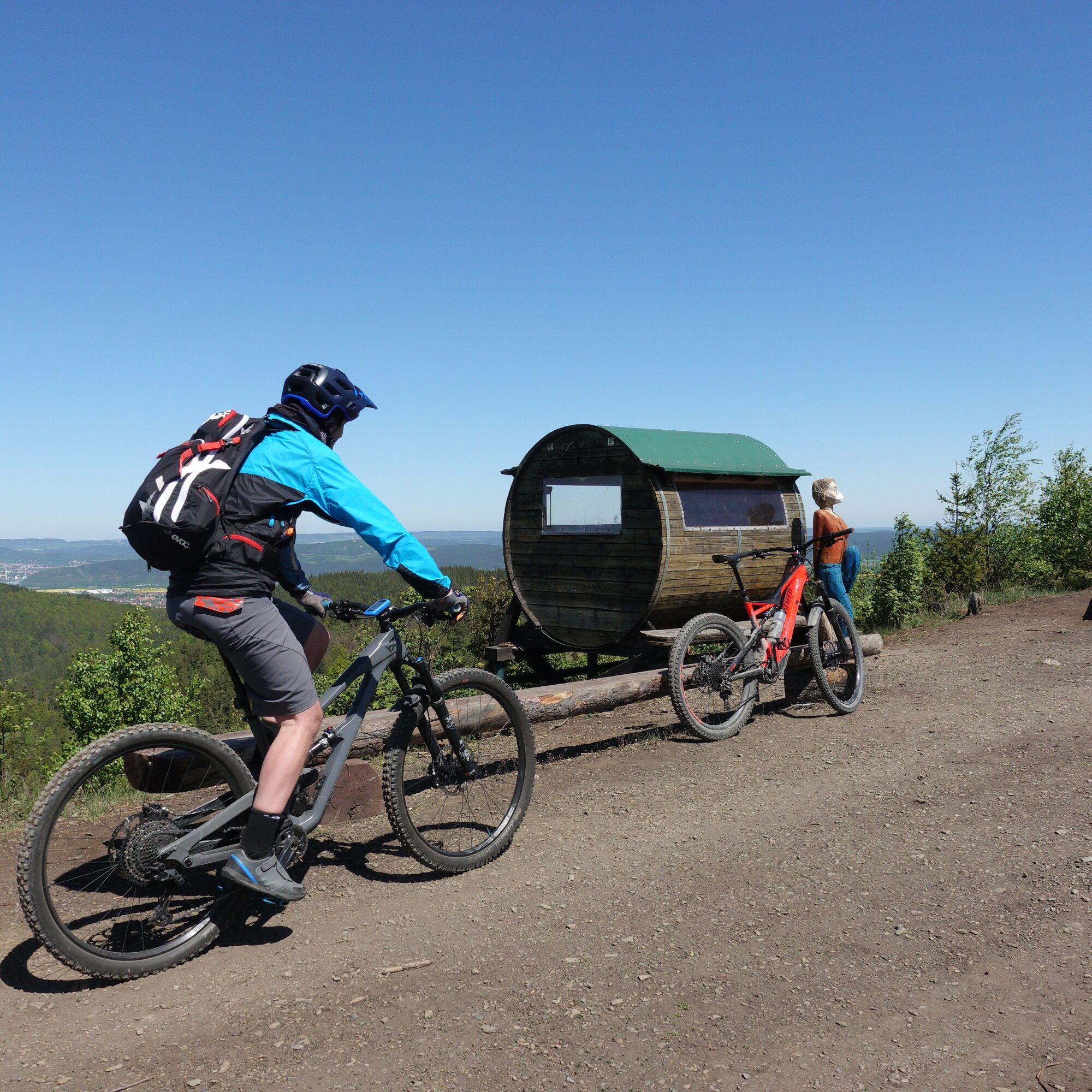
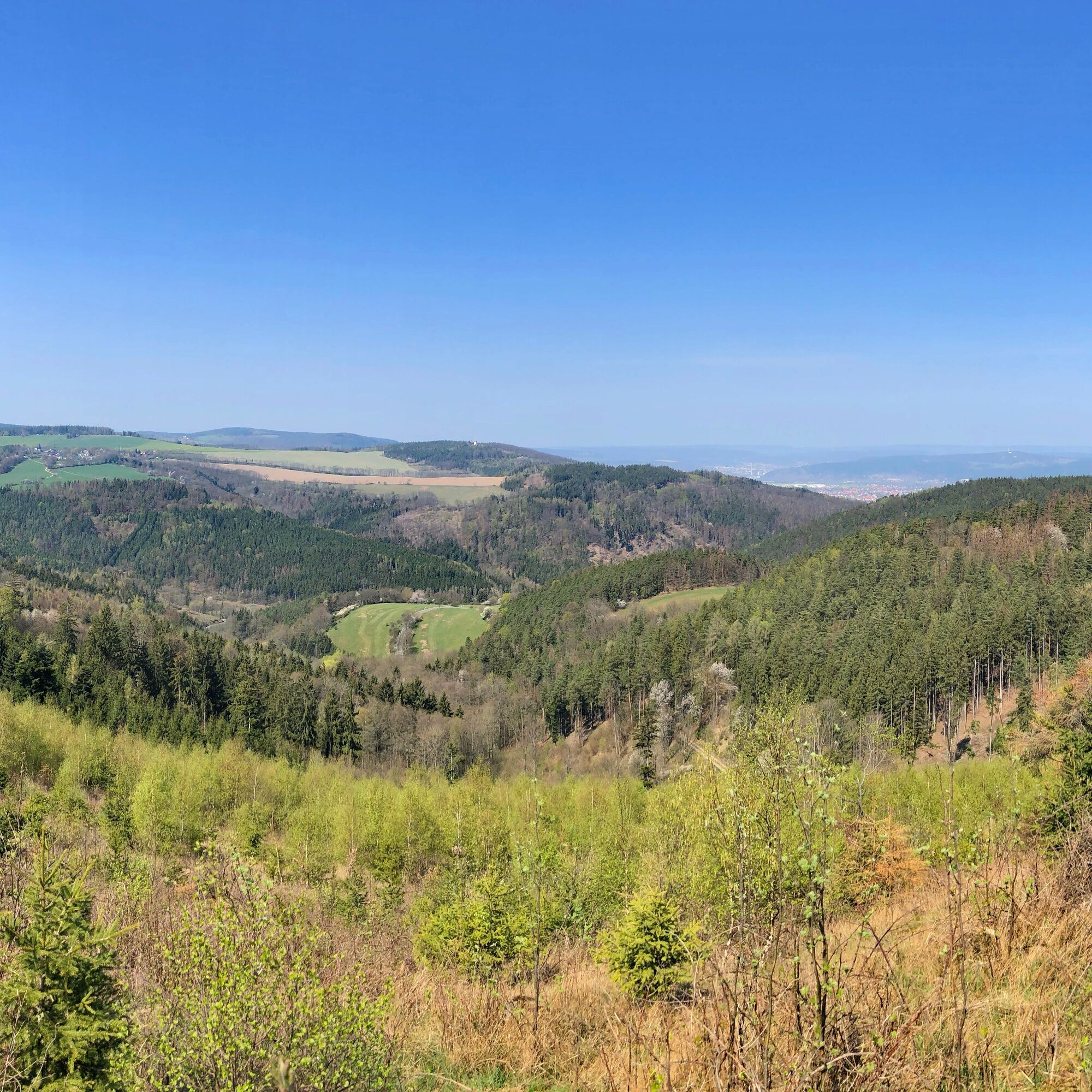
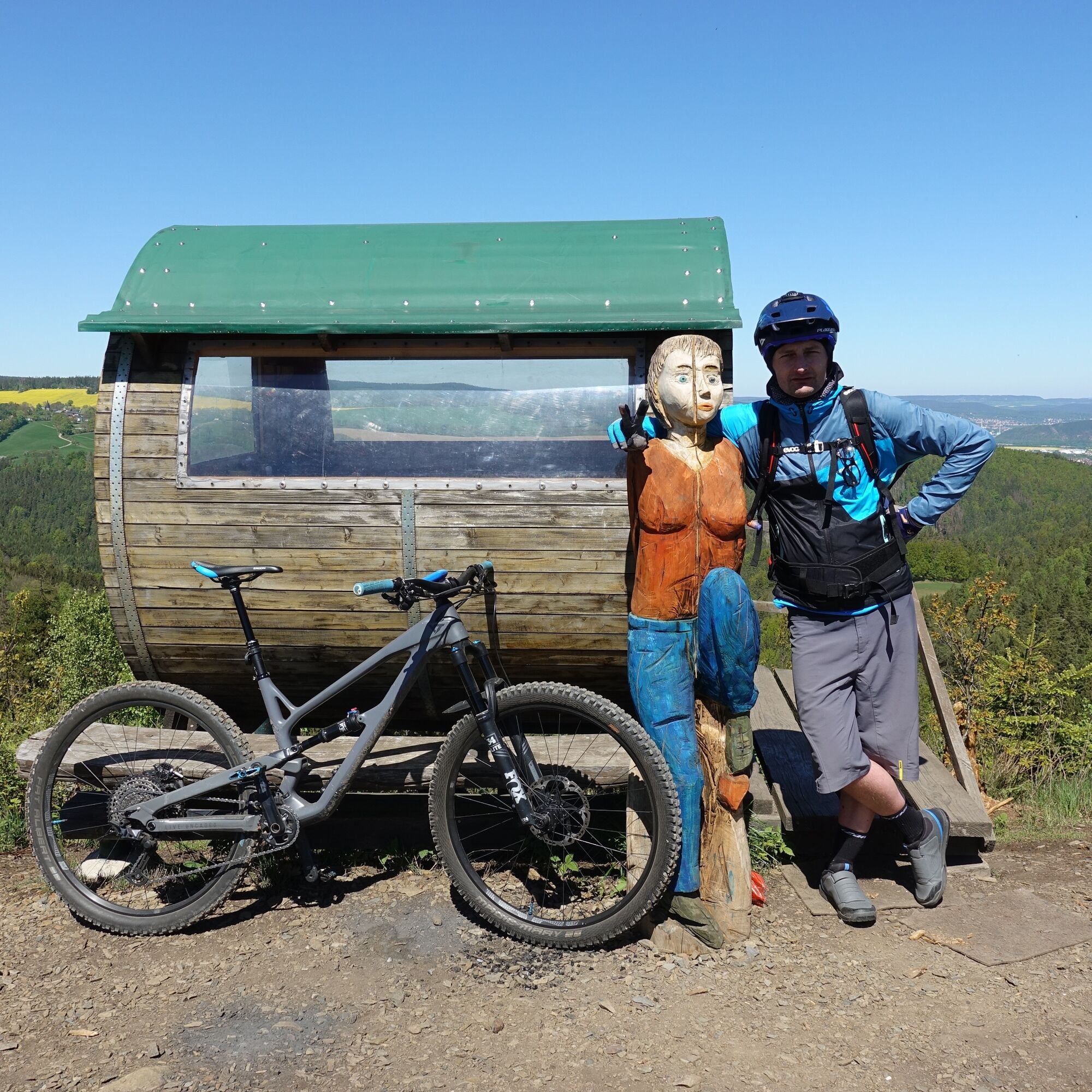
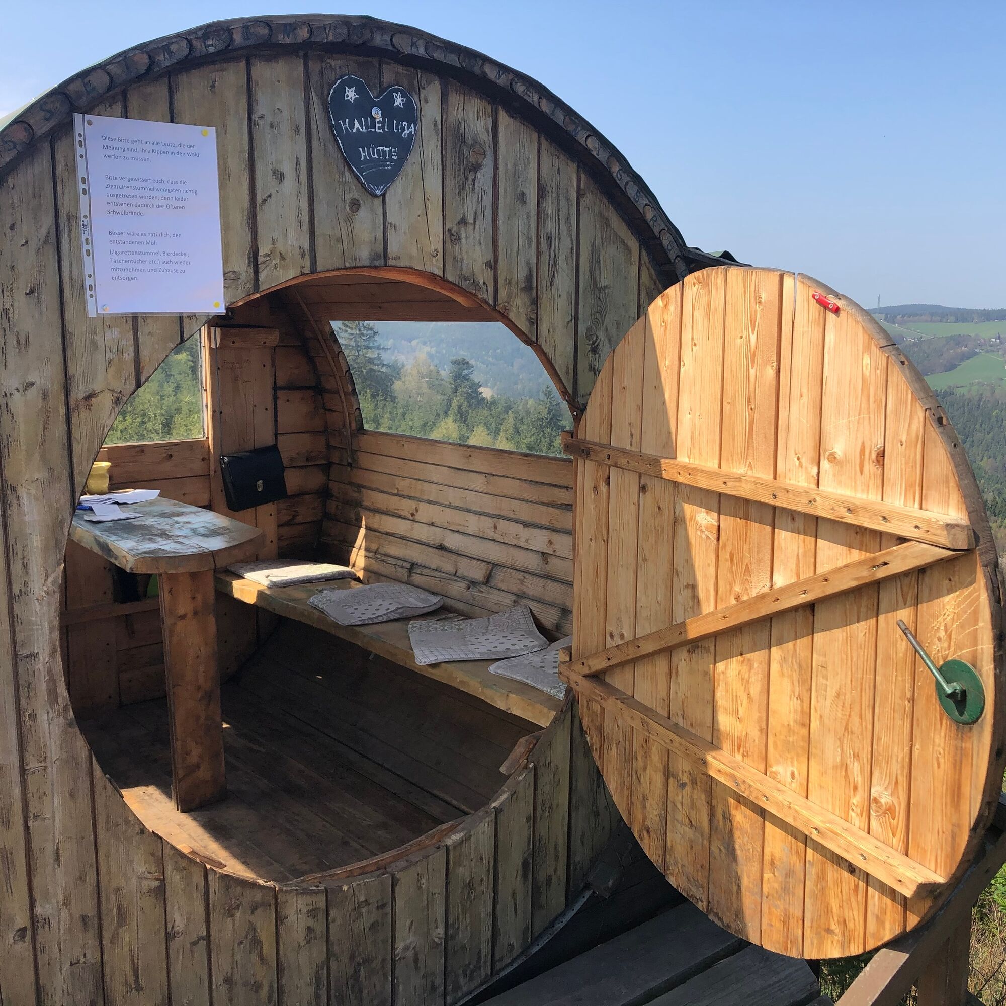
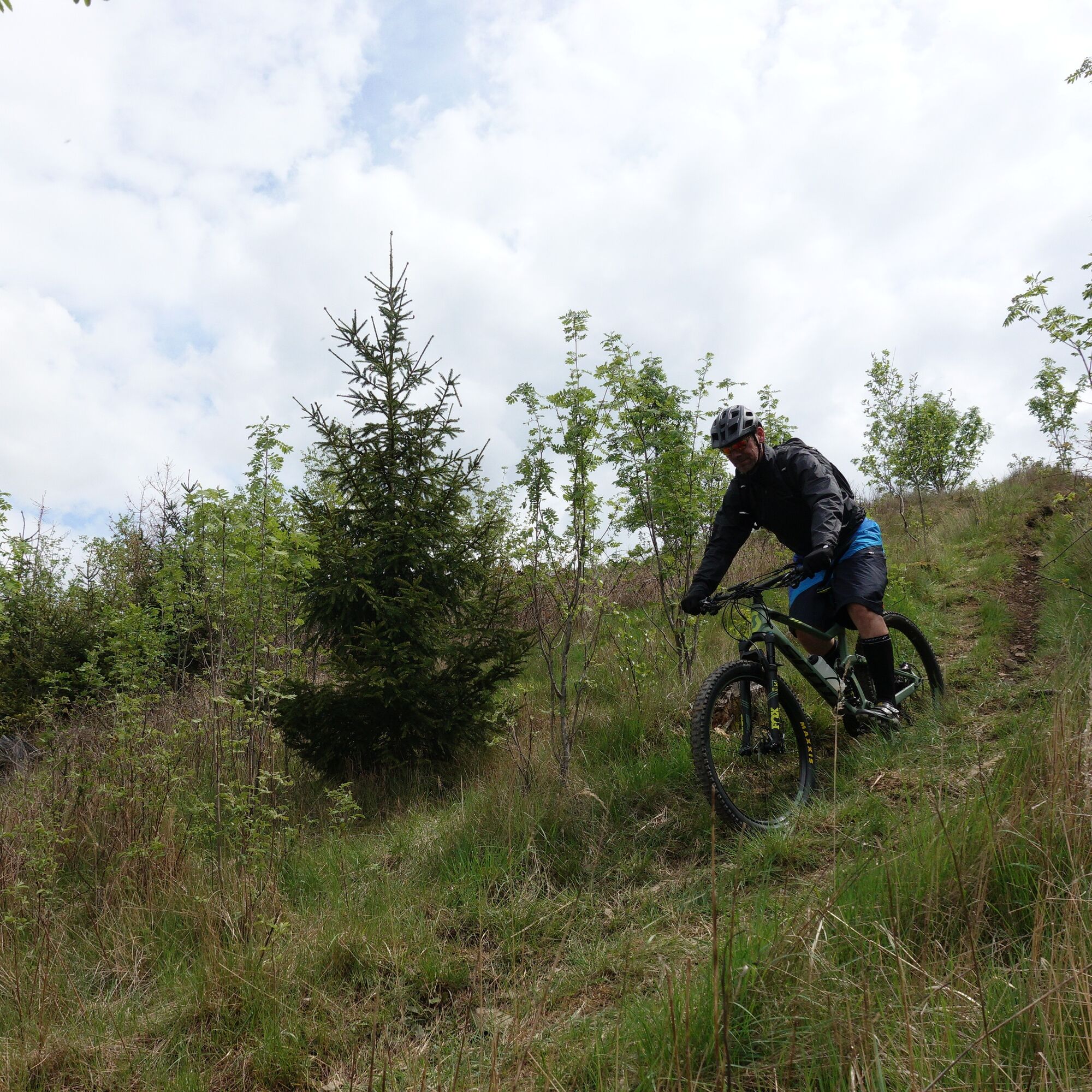
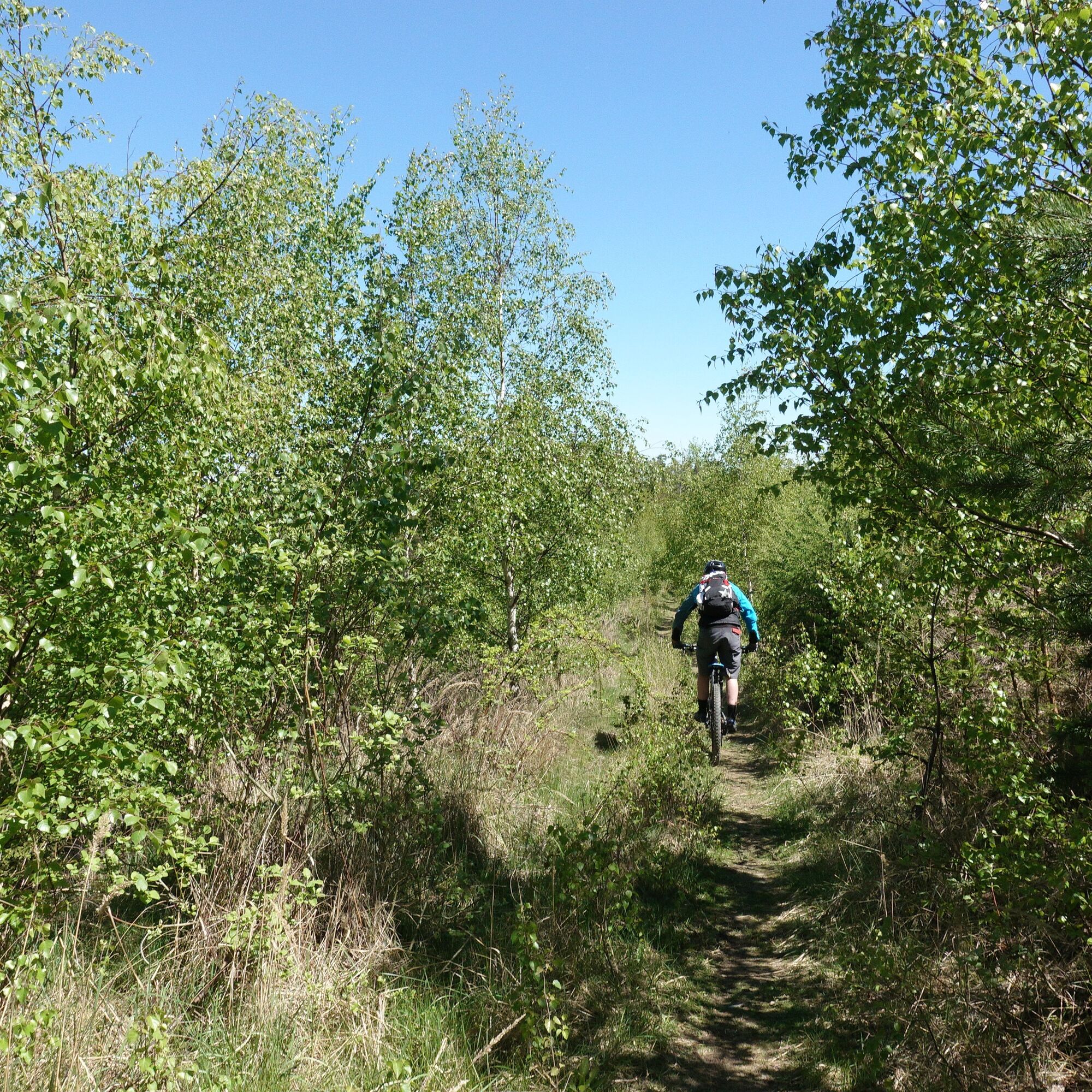
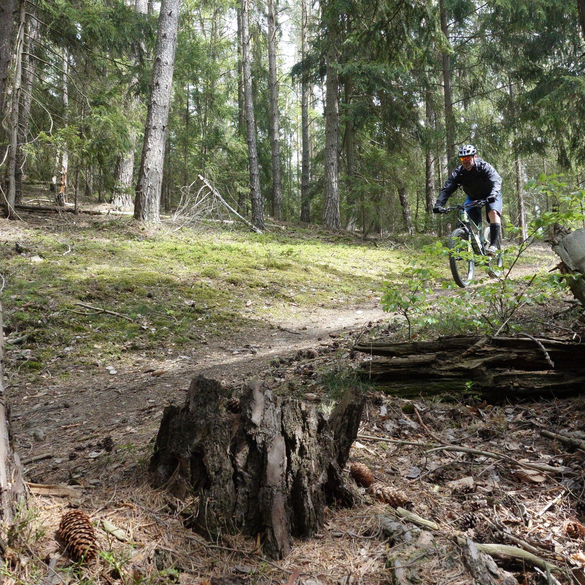
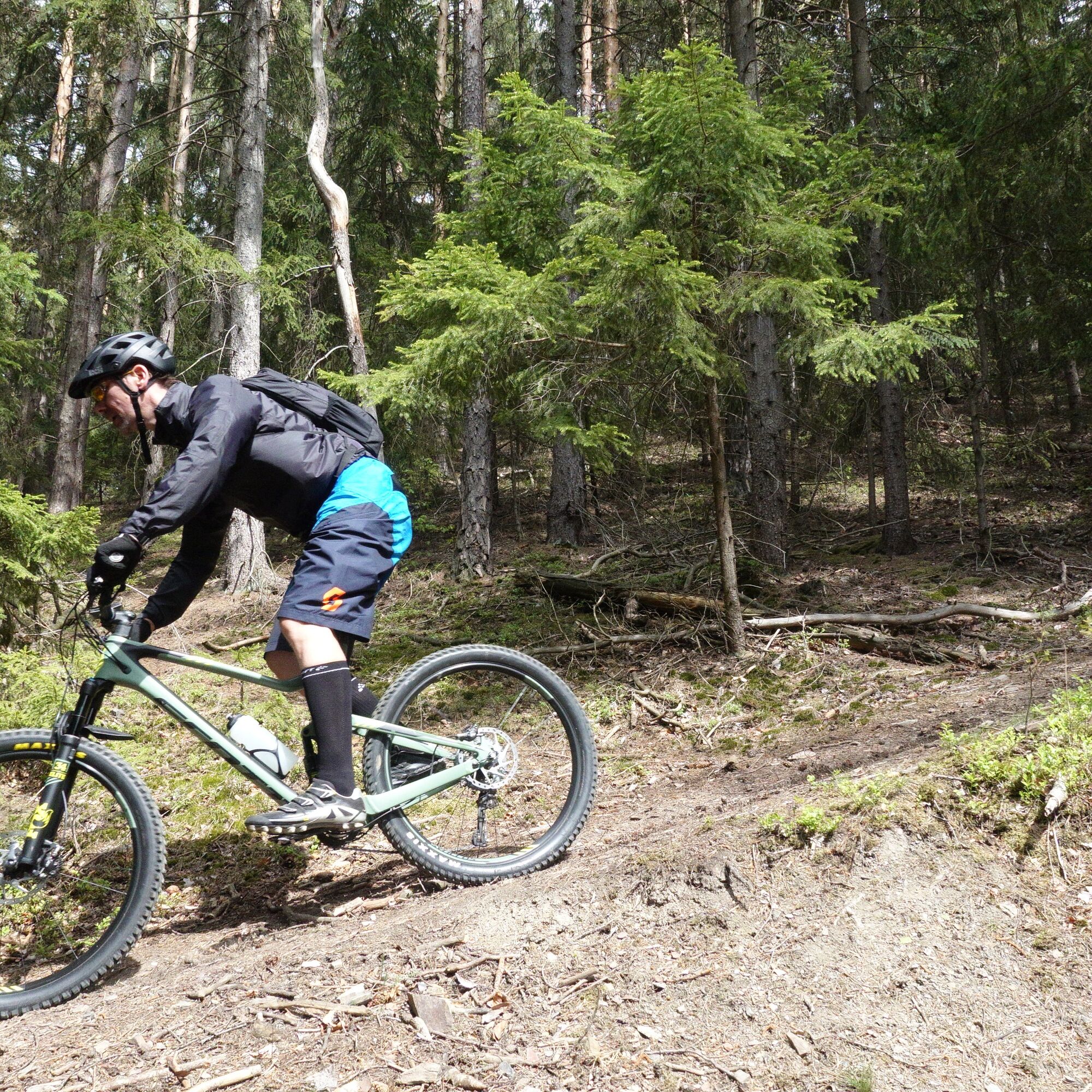
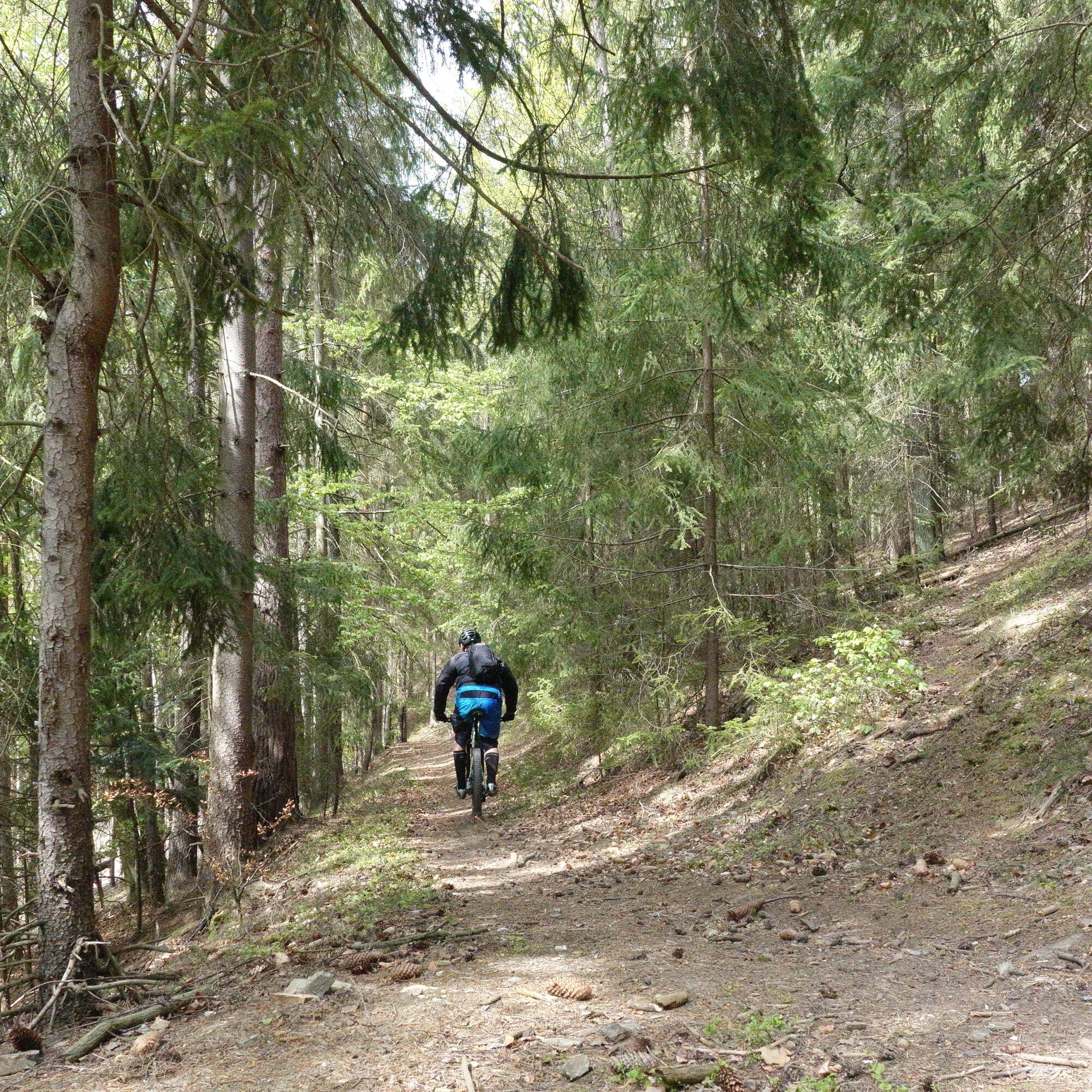
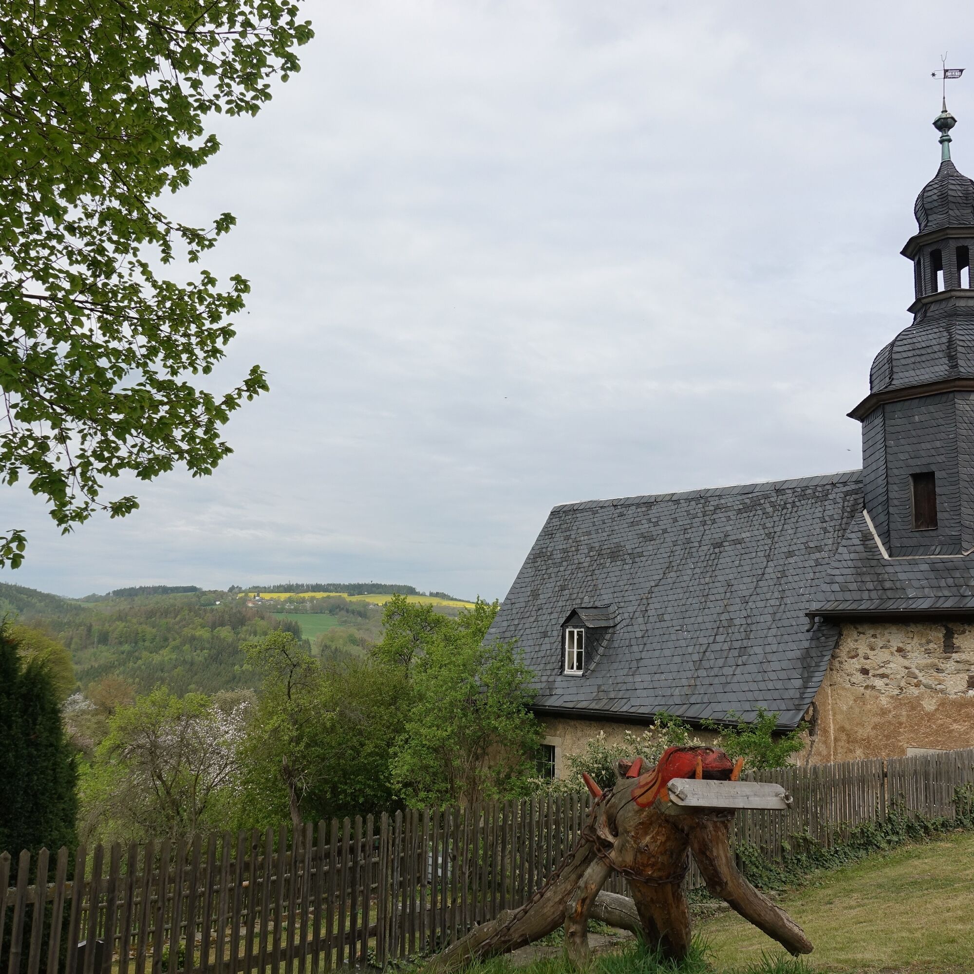
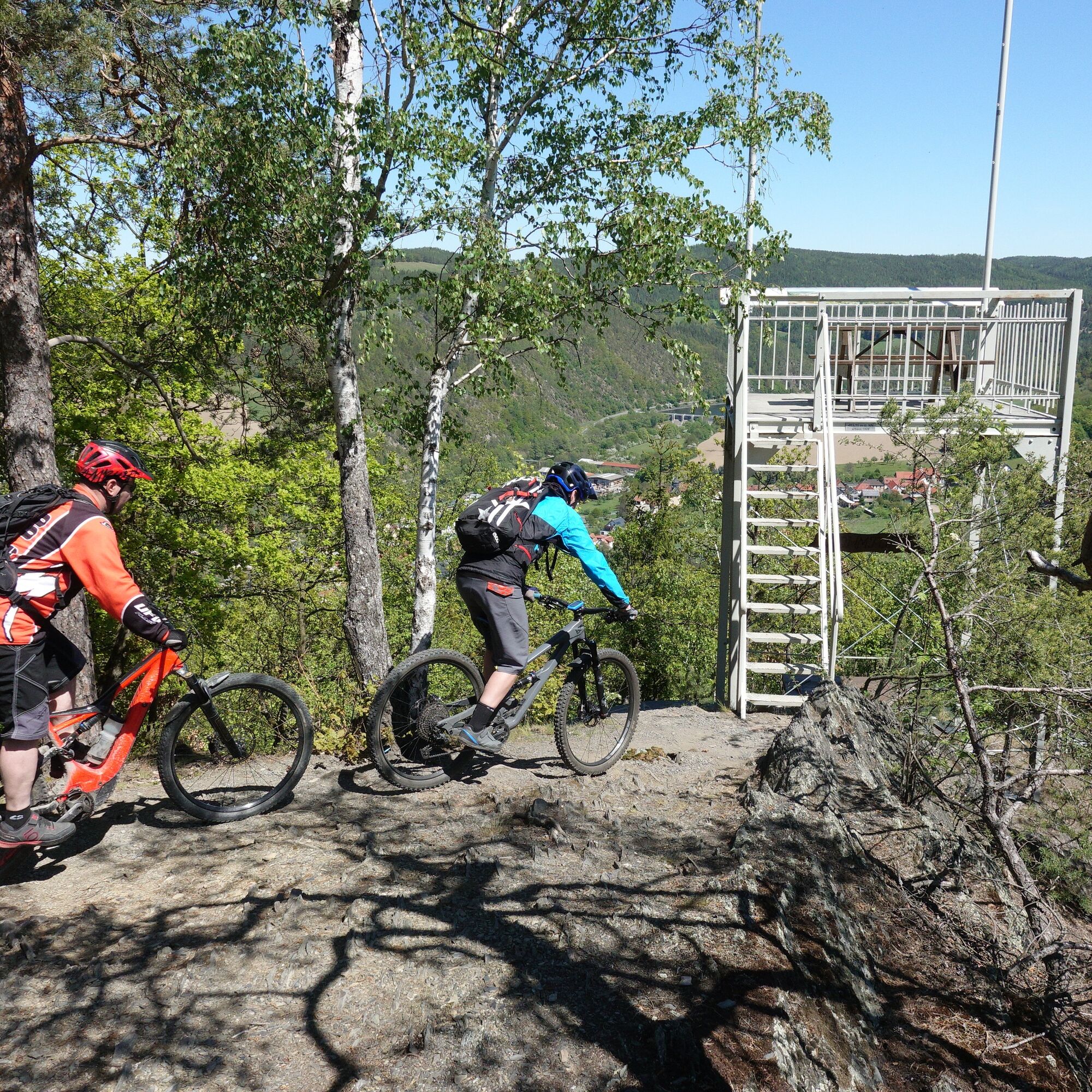
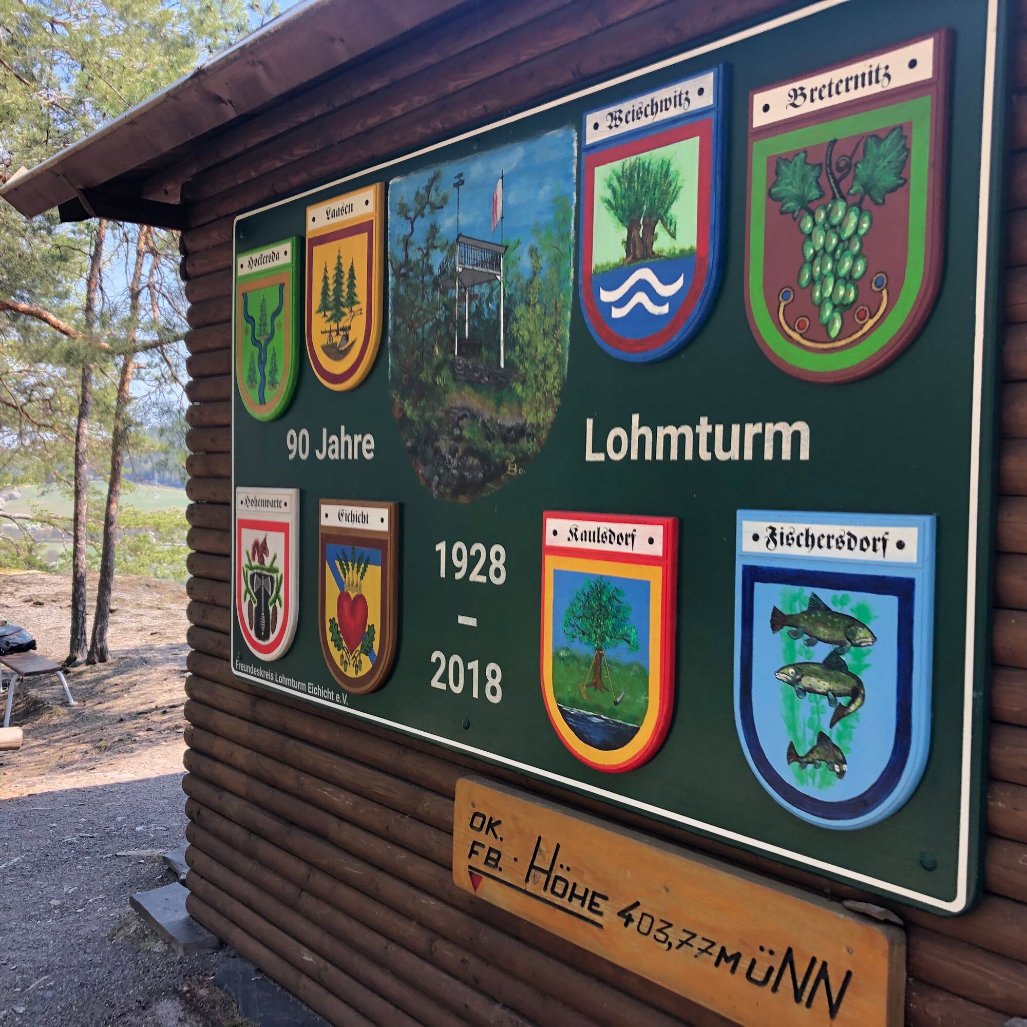
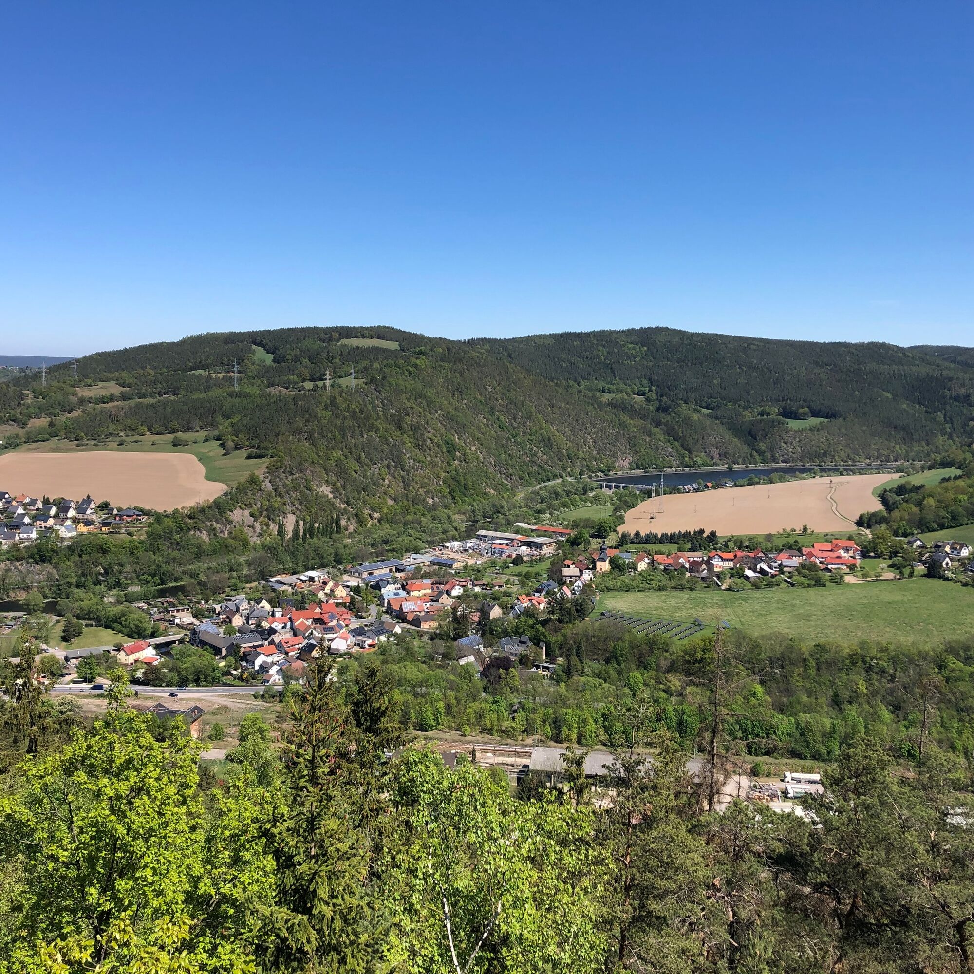
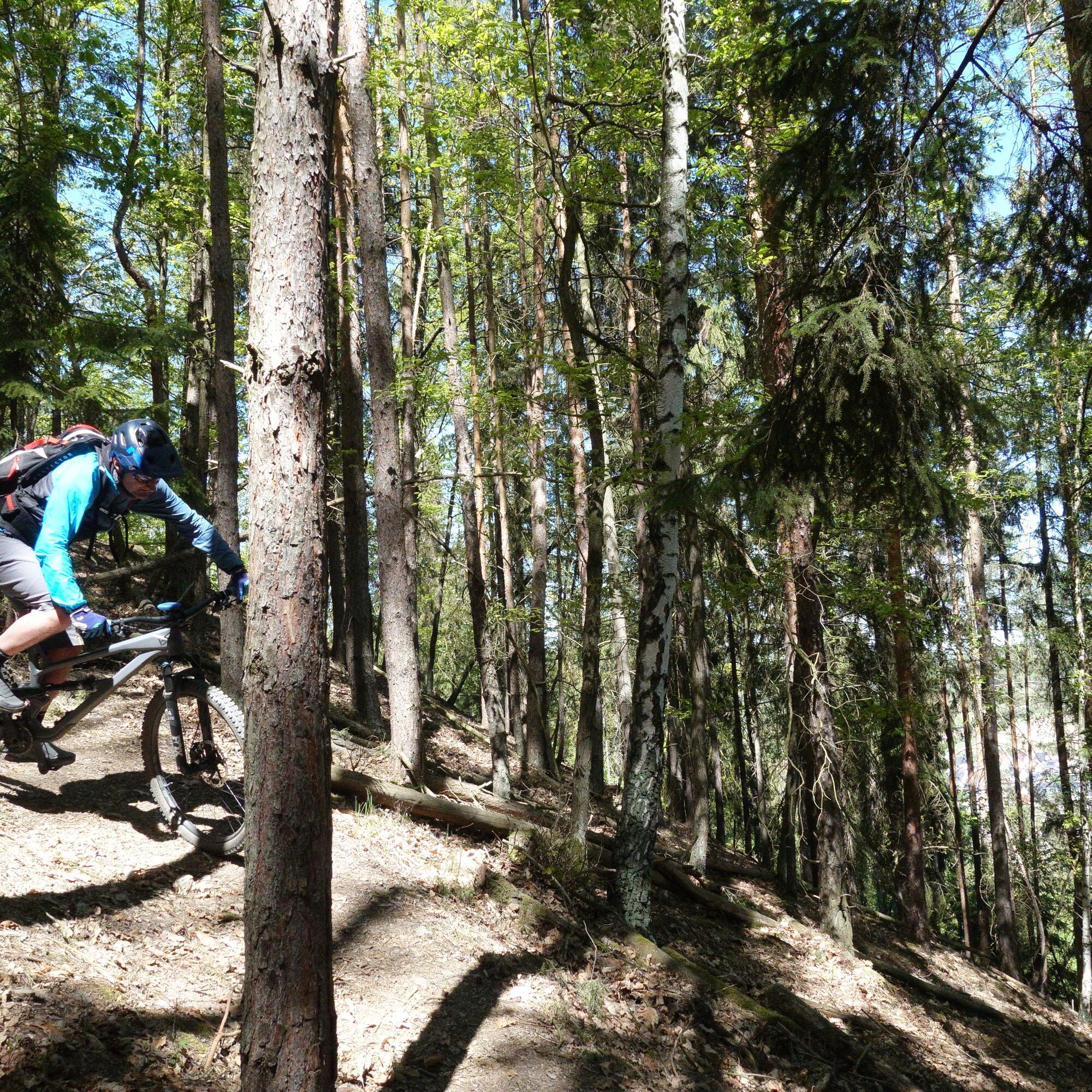
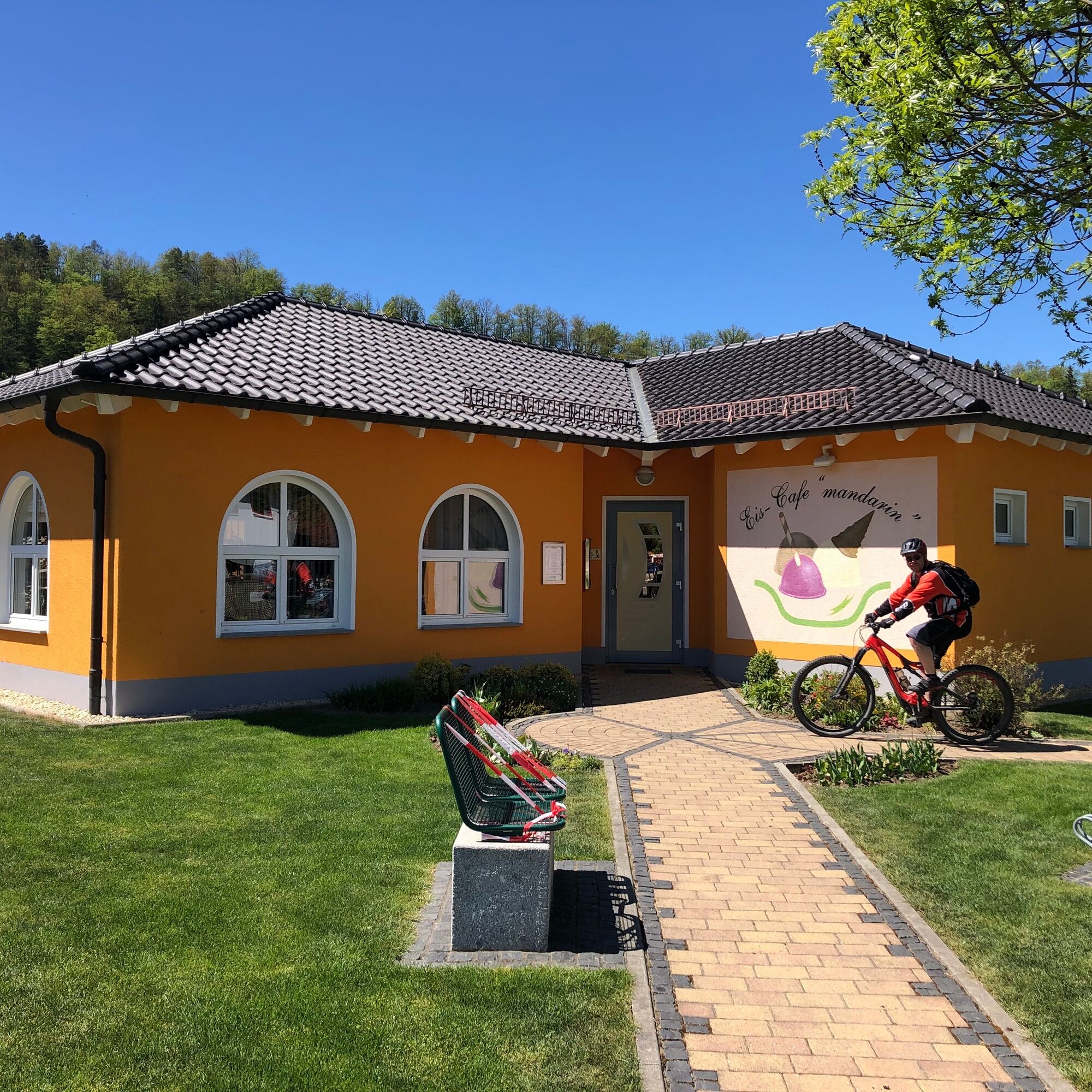
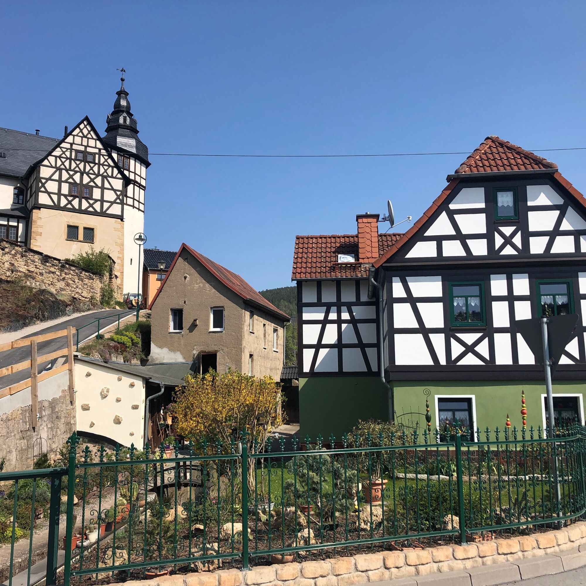
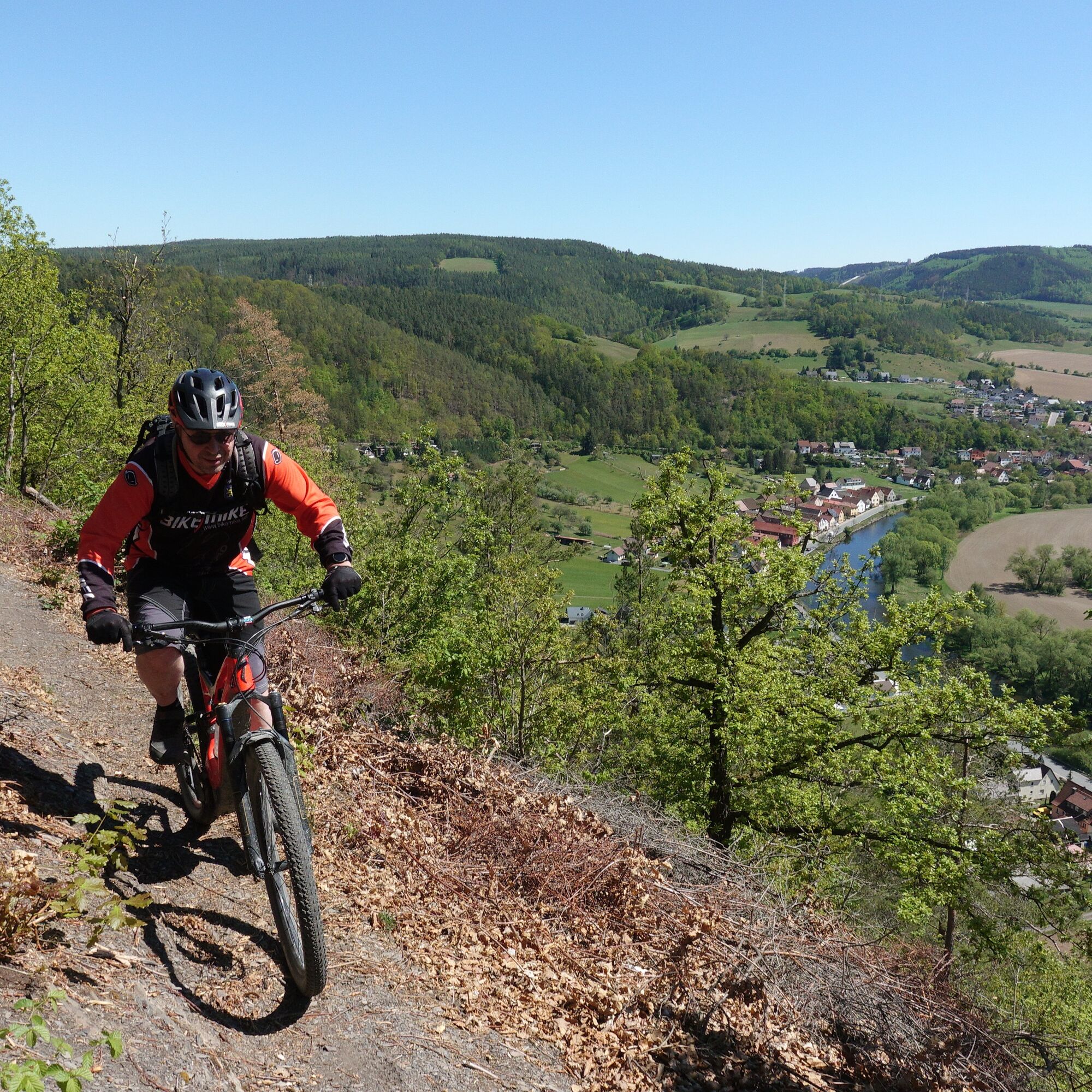
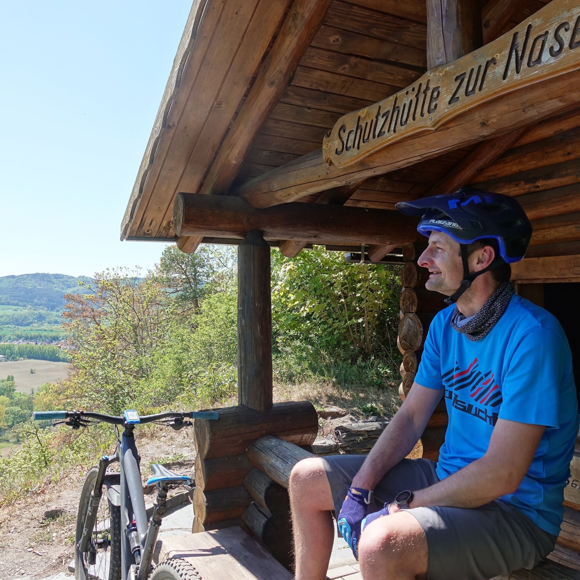
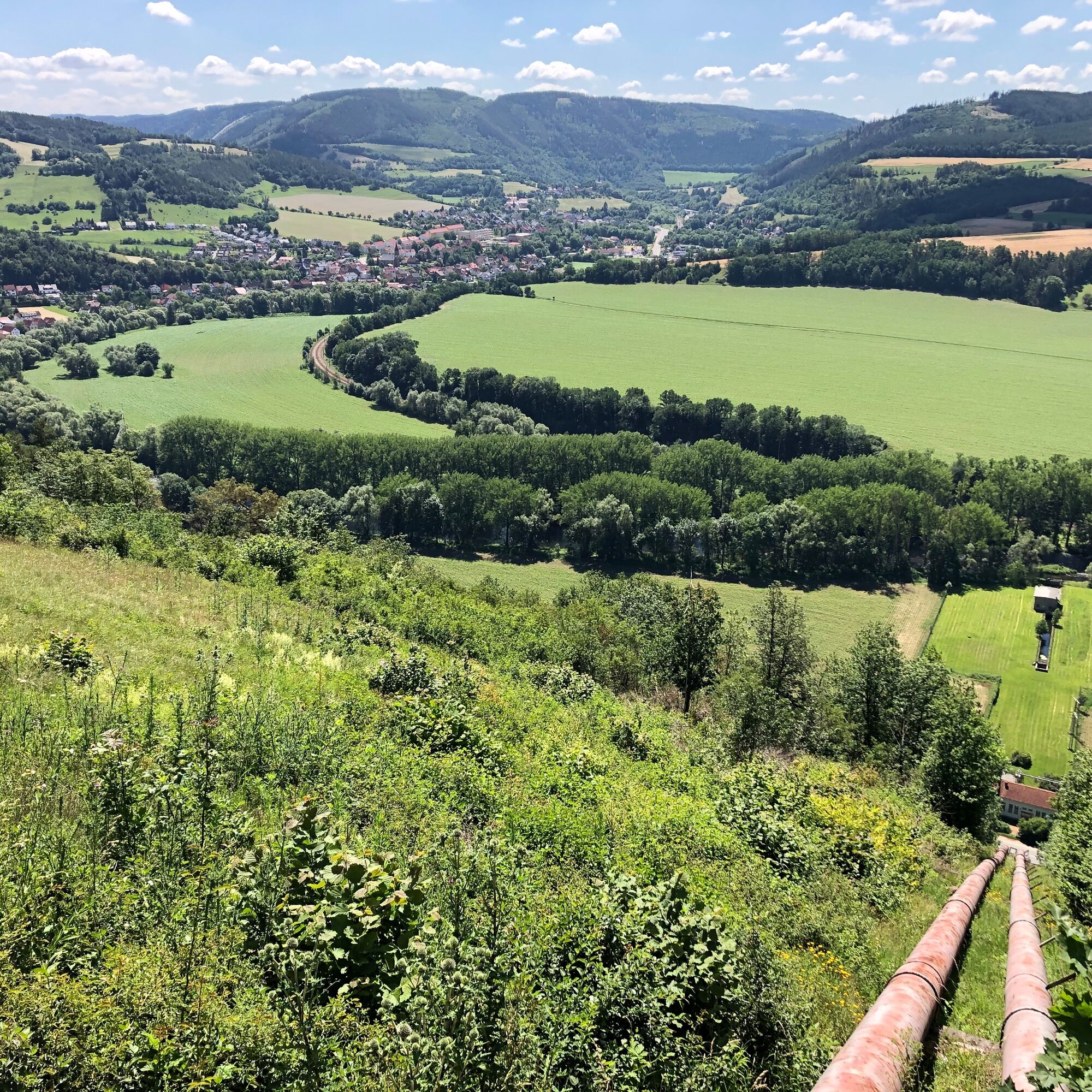
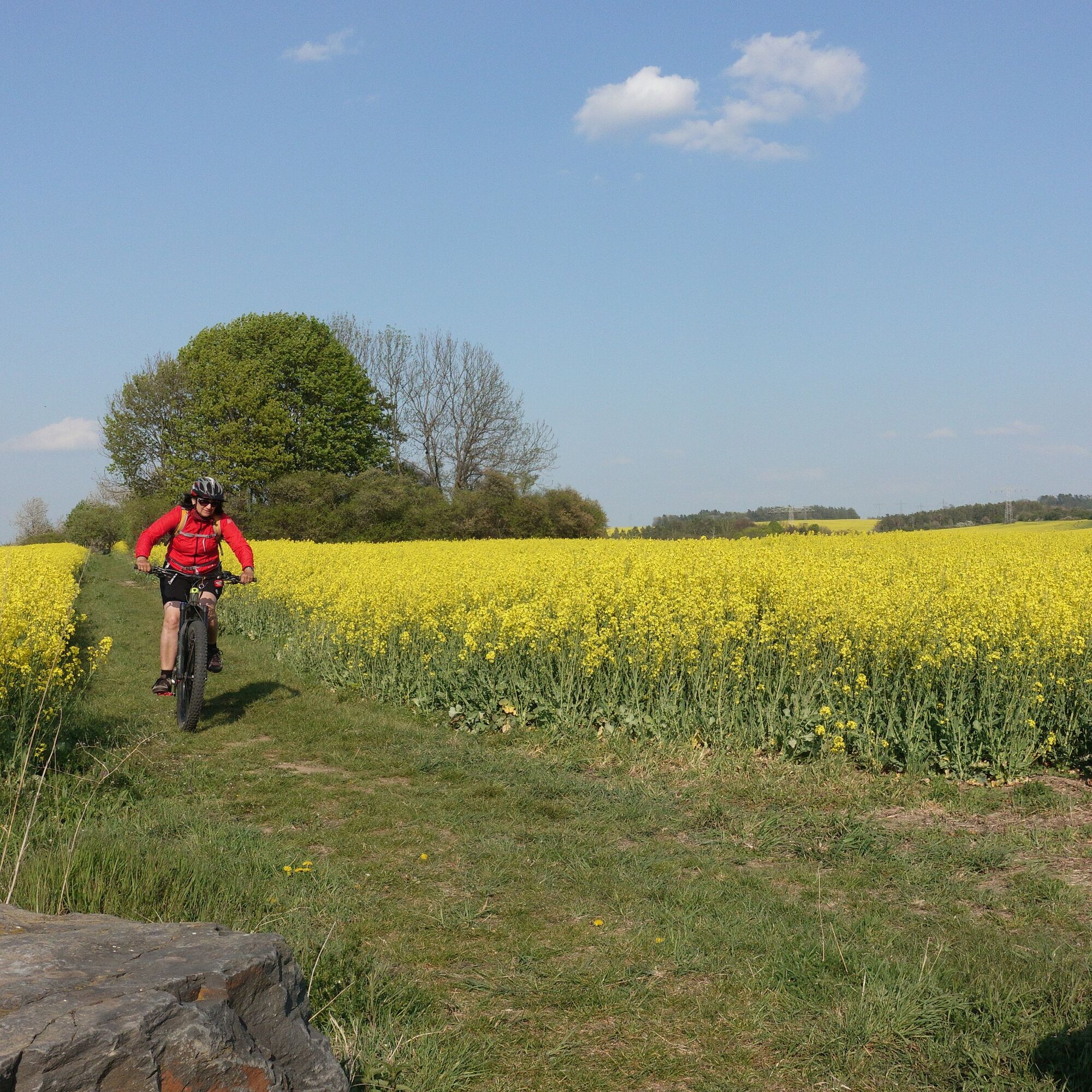

Saalfeld station - Carl Zeiss Bridge - Saale cycle route - Caravan parking lot at Saalfeld swimming pool - Fox tower - Wine valley - Eyba - upper Gissra valley - At the witches' cauldron - Lositz - Kreuzrasen - Raven hill with Halleluja hut - Trail to Knobelsdorf - Holzberg loop - Laasen - Lohm tower - Eichicht - Kaulsdorf - Shelter Zur Nase - Cableway - Swedish rampart - Köditz - Saalfeld station
Tak
Full-suspension mountain bike recommended but not mandatory. A bike helmet is part of the essential basic equipment. Cycling glasses and gloves are advisable. A small daypack with some provisions and drinks can be helpful.
â Professional bike recommendation: All routes are, of course, also rideable with a modern and well-equipped e-mountain bike.
The route is not marked by signposts.
Riding the route is at your own risk.
Currently, there is an increased danger from dying trees in the forest.
Further information can be found in the Thuringian Forest Act.
Trail tolerance: On large parts of the route, you will be traveling alone. Naturally, there will also be sections or places where you will meet other nature lovers, such as hikers, riders, etc. All user groups in the forest share the joy of being active outdoors. Therefore, a friendly and respectful interaction is natural. As a mountain biker, you ride defensively when you meet others. A brief stop and a friendly greeting contributes a lot to a good image of mountain bikers!
From the west:
exit the A71 at the Stadilm exit and continue on the B90 to SaalfeldFrom the south:
exit the A73 at the Eisfeld exit and follow the B281 towards Neuhaus am Rennweg on the B85 from KronachFrom the east:
exit the A9 at the Lobenstein exit and follow the B90 towards Lobenstein exit the A9 at the Triptis exit and follow the B281 towards PößneckFrom the north:
exit the A4 at the Jena-Göschwitz exit and follow the B88 towards Rudolstadt (Note: still a permanent construction site in Rothenstein)By train to Saalfeld station. Saalfeld is very well and regularly accessible by various regional express connections with bike transport from the areas: Erfurt, Leipzig, and Nuremberg.
Please use the German railway travel portal for travel planning at the following link:
From Saalfeld station, follow the signposts to the Saale cycle route: after about 800 m, you reach the cycle path via Carl Zeiss Bridge, now upstream
Various free and paid parking lots in the city area of Saalfeld. There are sufficient parking spaces at the station (Google NAV point)
S2
Further professional tours for mountain bikes can be found here:
For a stress-free following of the route, the author recommends using the GPS track of the route (GPX). Navigation using a GPS device or a smartphone app significantly facilitates wayfinding in some sections.
Popularne wycieczki w okolicy
-
4,9
Circular hiking trail - H5 "The Water Route" - Thuringian Forest
średniWędrówka 6,58 km -
4,8
Circular hiking trail - "To the most beautiful viewpoints" - Thuringian Forest
średniWędrówka 12,8 km -
Circular hiking trail - "Sculpture Trail" - Hiking start Unterweißbach - Thuringian Forest
średniWędrówka 24,4 km -
4,7
Circular hiking route - H3 "The Bird's Eye View" - Thuringian Forest
średniWędrówka 8,78 km -
4,0
Circular route - “To the Strudel pots of the Schwarza” - Starting point at the Chrysopras weir - Bad Blankenburg
średniWędrówka 9,01 km -
4,0
Circular route - "Wichtelweg" - Wilhelmsdorf
światłoTrasa tematyczna 2 km -
5,0
Hohenwarte Reservoir Way - Section 2 - Camping Wilhelmsdorf Portenschmiede → Ziegenrück
ciężkiWędrówka 18,2 km -
Circular hike - "Friedrich Fröbel" - Bad Blankenburg
ciężkiWędrówka 14,4 km -
5,0
Urwaldpfad Leutenberg - Thuringian Urwaldpfade
średniWędrówka 6,82 km -
Circular trail - Saugartenpfad - Hiking start at Chrysopraswehr - Bad Blankenburg
średniWędrówka 8,39 km

Wędrówki i tropienie


Nie przegap ofert i inspiracji na następne wakacje
Twój adres e-mail została dodana do listy mailingowej.





