






Saale - Water hiking from Saalfeld to Uhlstädt - Stage 6
Poziom trudności: 2
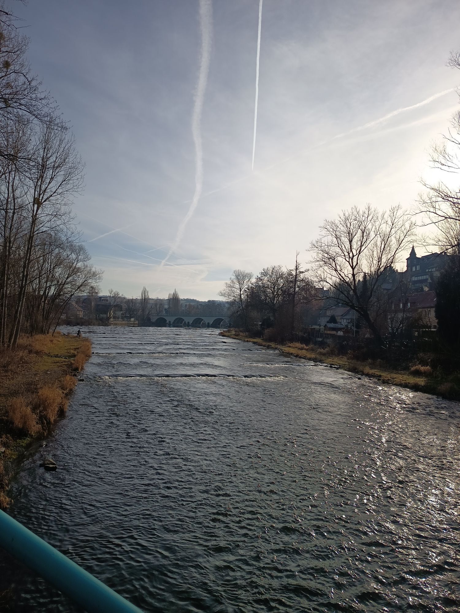
From Saalfeld the character of the landscape changes. You leave the relatively narrow valley of the upper Saale, the valley widens and agricultural areas increasingly border the shores.
You pass the first...
From Saalfeld the character of the landscape changes. You leave the relatively narrow valley of the upper Saale, the valley widens and agricultural areas increasingly border the shores.
You pass the first weir at the Göritzmühle. The ramp is navigable but recommended only for very experienced canoeists. Then the Saale carries you swiftly through Remschütz and offers a beautiful view of Greifenstein Castle near Bad Blankenburg. After the rapids at the Schwarzamündung you pass the industrial facilities in Schwarza. Then the Unterpreilipp weir awaits you (left). A boat trolley is required for the approx. 300 m long portage path. Families with small children are advised to start only at Unterpreilipp.
At the Volkstedt weir you will find the Rudolstadt canoe club’s boathouse (left) and the portage site (right). The boat channel is currently not navigable.
Above the old town of Rudolstadt, the Heidecksburg Residential Castle towers visibly. Inside, the three-winged baroque castle holds architecturally and culturally valuable treasures. It is thus worthwhile to get off at the Bleichwiese (right) to visit the castle and the town.
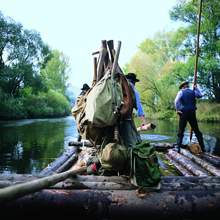
Then the Saale carries you past meadows and fields into the raftsman’s area. The oldest record of rafting on the Thuringian Saale was found in a document from 1258. Only on the Rhine is rafting recorded earlier. Today tourist rafts run between Kirschhasel and Uhlstädt.
Route of the trip:
Göritzmühlen weir (entry point) - Ramp should not be navigated! Remschütz Am Anger (official entry and exit point/ rest area) Unterpreilipp weir (portage) Volkstedt weir (portage) - boat channel currently closed! Rudolstadt-Cumbach Bleichwiese (official entry and exit point) Unterhasel Bridge (entry and exit point/ rest area) Weißen (rest area) Uhlstädt weir (portage) Uhlstädt campsite (entry and exit point/ rest area)

Shortly after your start in Saalfeld you first pass the weir at the Göritzmühle (left, only for experienced paddlers. Danger to life!) before the Saale carries you swiftly through Remschütz and offers a beautiful view of Greifenstein Castle near Bad Blankenburg. After the rapids at the Schwarzamündung you pass the industrial facilities of Schwarza. Then the weir at Unterpreilipp awaits you (left). A boat trolley is required for the approx. 300 m long portage. At the Volkstedt weir you will find the Rudolstadt canoe club’s boathouse (left) and the portage site (right).
Above the old town of Rudolstadt, the Heidecksburg Residential Castle towers visibly. Inside, the three-winged baroque castle holds architecturally and culturally valuable treasures. It is thus worthwhile to get off at the Bleichwiese (right) to visit the castle and town. Every year in early July, Germany’s largest folk roots world music festival attracts thousands of visitors to Rudolstadt.
Then the Saale carries you past meadows and fields into the raftsman’s area. The oldest record of rafting on the Thuringian Saale was found in a document from 1258. Only on the Rhine is rafting recorded earlier. Today tourist rafts run between Kirchhasel and Uhlstädt. In Uhlstädt you should definitely visit the rafting museum, which is located immediately at the weir (left) and vividly presents the history of long timber rafting on the Saale.
Tak
Life jackets, bathing shoes
The weirs and hydroelectric plants on the Saale must be carried around unless otherwise indicated. To carry canoes, you should be at least two people, with inflatable boats at least four people are needed.
Please note that the flow speed of the Saale depends on the water level. We advise against water hiking if the water level is too high after heavy rainfall.
Current water level data at the Saalfeld-Remschütz gauge can be found here
2
Long timber rafting on the Saale has a tradition going back centuries. In Uhlstädt you can visit the rafting museum that commemorates this era.
Popularne wycieczki w okolicy
-
4,9
Circular hiking trail - H5 "The Water Route" - Thuringian Forest
średniWędrówka 6,58 km -
4,8
Circular hiking trail - "To the most beautiful viewpoints" - Thuringian Forest
średniWędrówka 12,8 km -
4,5
Circular route - “To the Strudel pots of the Schwarza” - Starting point at the Chrysopras weir - Bad Blankenburg
średniWędrówka 9,01 km -
4,7
Circular hiking route - H3 "The Bird's Eye View" - Thuringian Forest
średniWędrówka 8,78 km -
4,0
Circular route - "Wichtelweg" - Wilhelmsdorf
światłoTrasa tematyczna 2 km -
Circular hike - "Friedrich Fröbel" - Bad Blankenburg
ciężkiWędrówka 14,4 km -
Circular trail - Saugartenpfad - Hiking start at Chrysopraswehr - Bad Blankenburg
średniWędrówka 8,39 km -
5,0
Kulm route
średniWędrówka 9,39 km -
Panoramaweg Schwarzatal - Stage 1 Schwarza to Schwarzburg - Thuringian Forest
ciężkiWędrówka 15,4 km -
3,0
Circular route - "On archaeological trail of King Otto I." - Saale region
światłoWędrówka 6,55 km
Wędrówki i tropienie


Nie przegap ofert i inspiracji na następne wakacje
Twój adres e-mail została dodana do listy mailingowej.





