


Tegna-Colma-Streccia-Verscio
Poziom trudności: T2
Zdjęcia naszych użytkowników

 © Luca BonzaniUtworzono dnia 03.06.2023
 © Monique TroxlerUtworzono dnia 05.02.2025
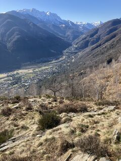 © Monique TroxlerUtworzono dnia 05.02.2025
 © Monique TroxlerUtworzono dnia 05.02.2025
 © Monique TroxlerUtworzono dnia 05.02.2025
 © Monique TroxlerUtworzono dnia 05.02.2025
 © Monique TroxlerUtworzono dnia 05.02.2025
 © Monique TroxlerUtworzono dnia 05.02.2025
 © Monique TroxlerUtworzono dnia 05.02.2025
 © Monique TroxlerUtworzono dnia 05.02.2025
 © Monique TroxlerUtworzono dnia 05.02.2025
 © Luca BonzaniUtworzono dnia 03.06.2023
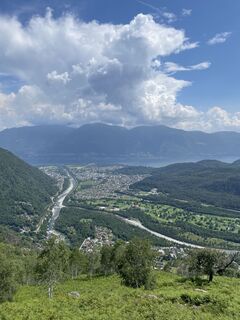 © Luca BonzaniUtworzono dnia 03.06.2023


The hike starts at Tegna, reachable by car or with the Ferrovia Vigezzina-Centovalli train (Locarno-Domodossola). From Tegna, the relatively steep but easily walkable trail leads to the panoramic viewpoint...
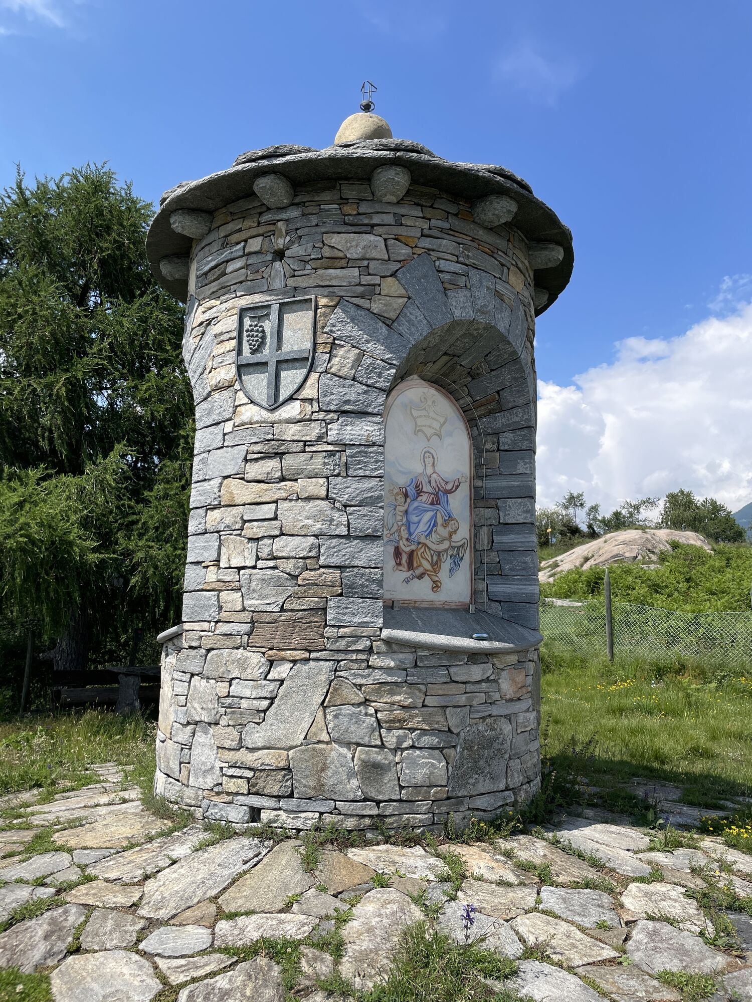
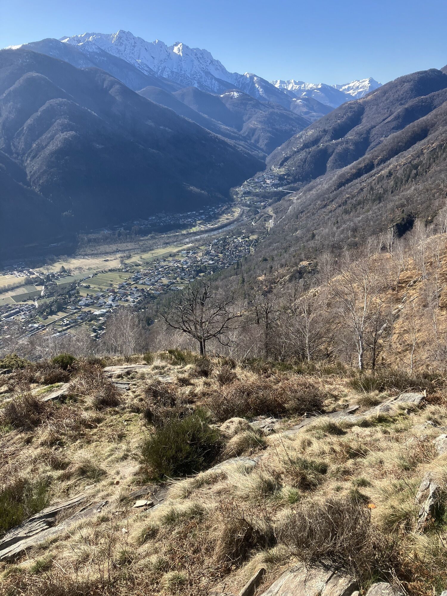
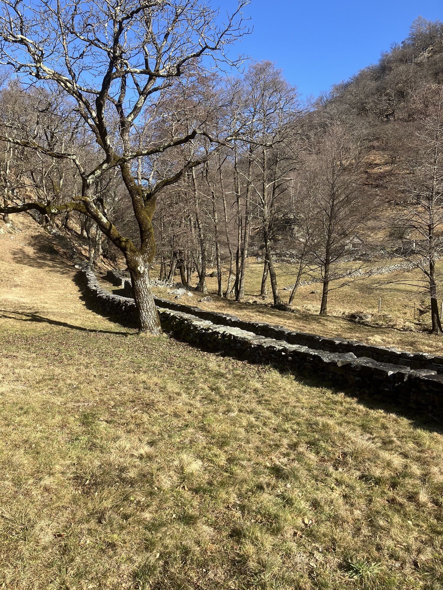
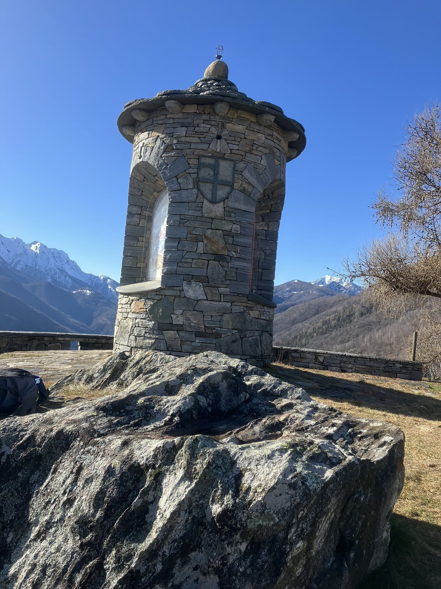
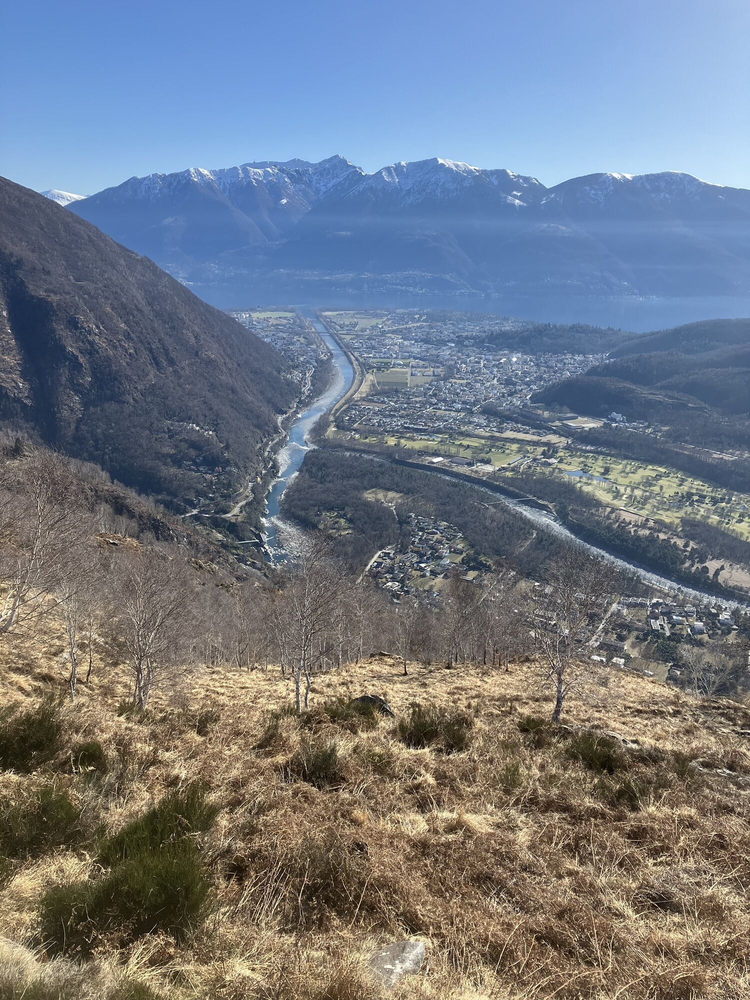
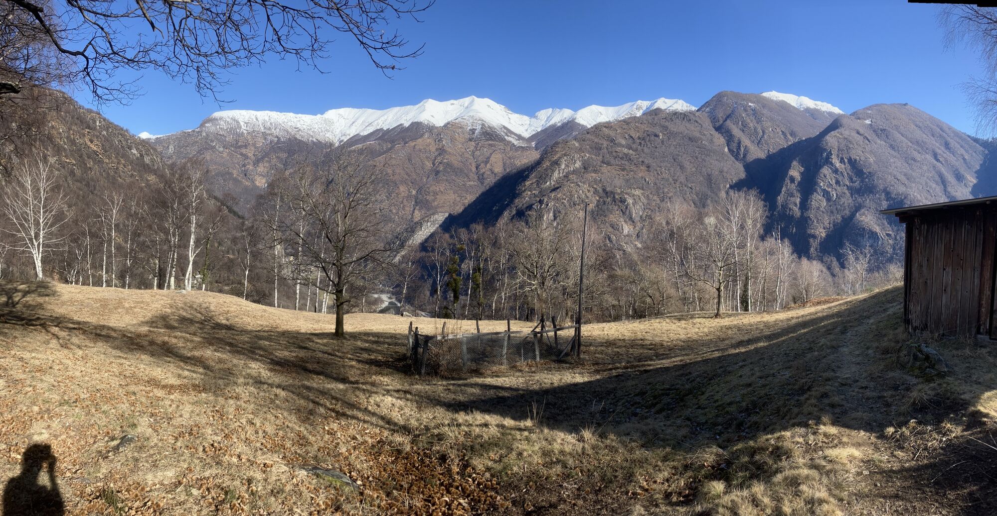
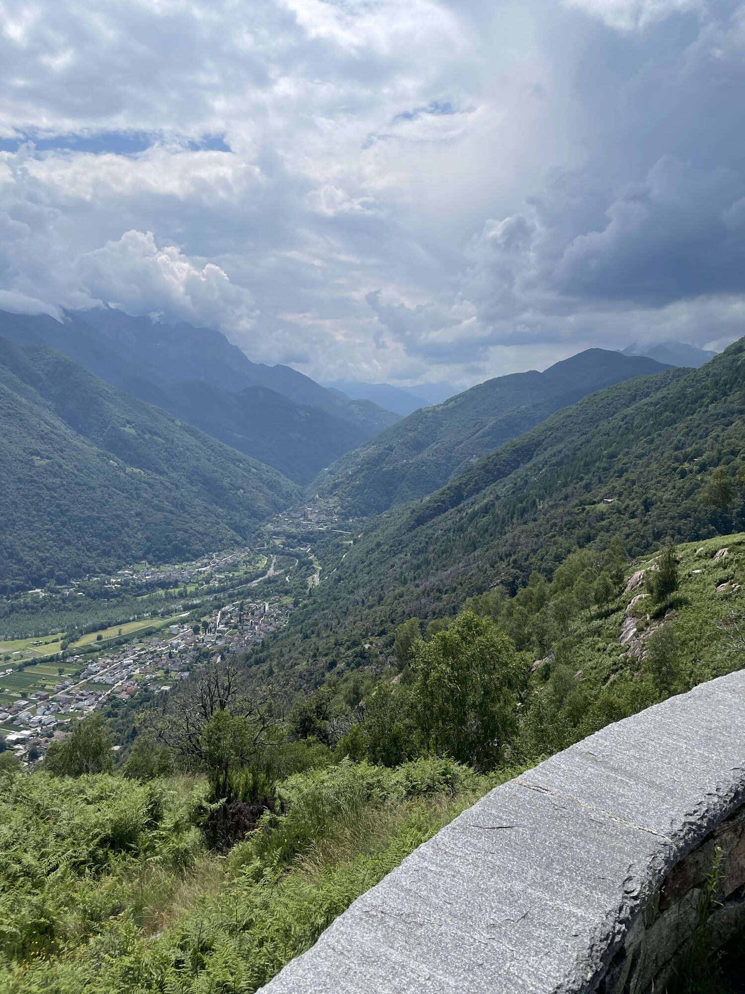
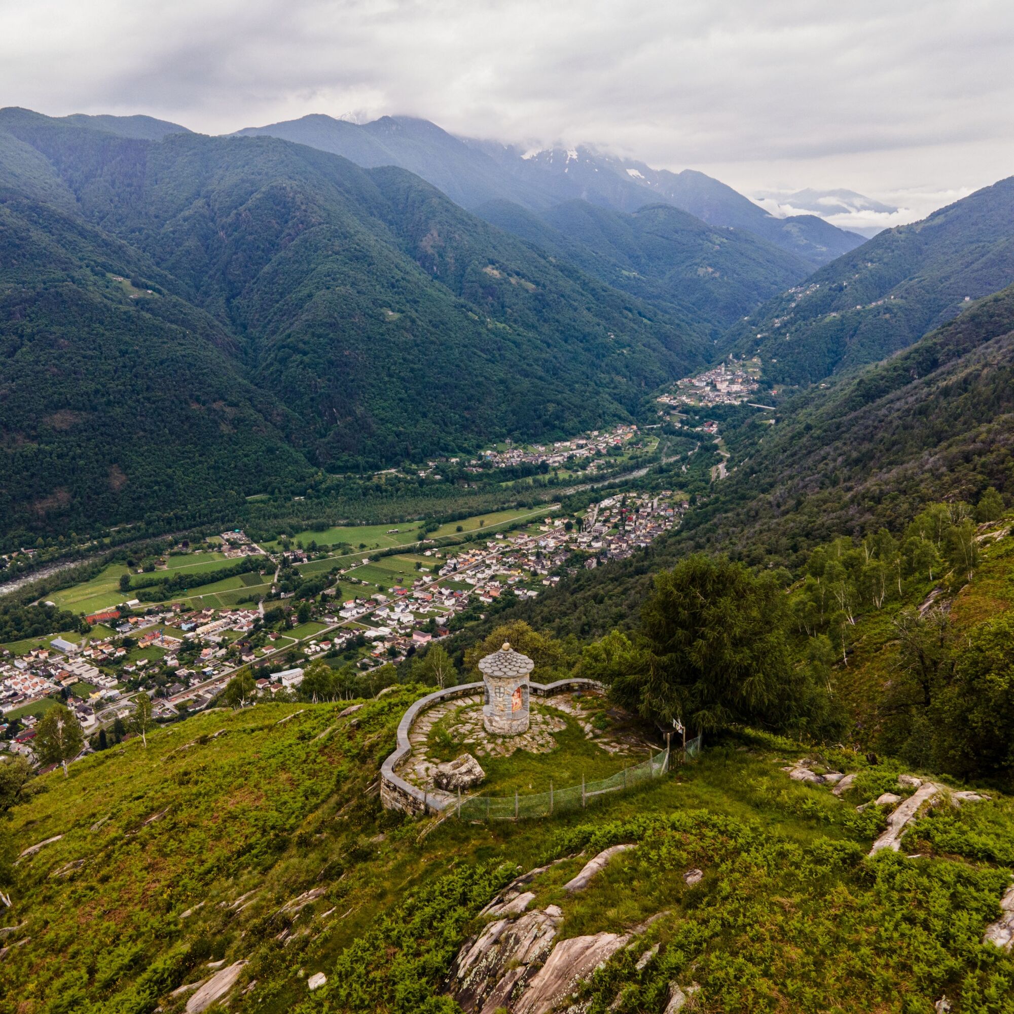
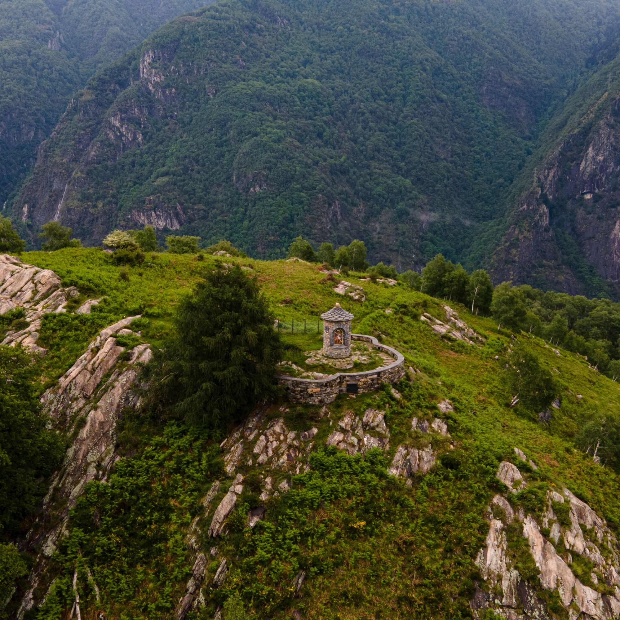
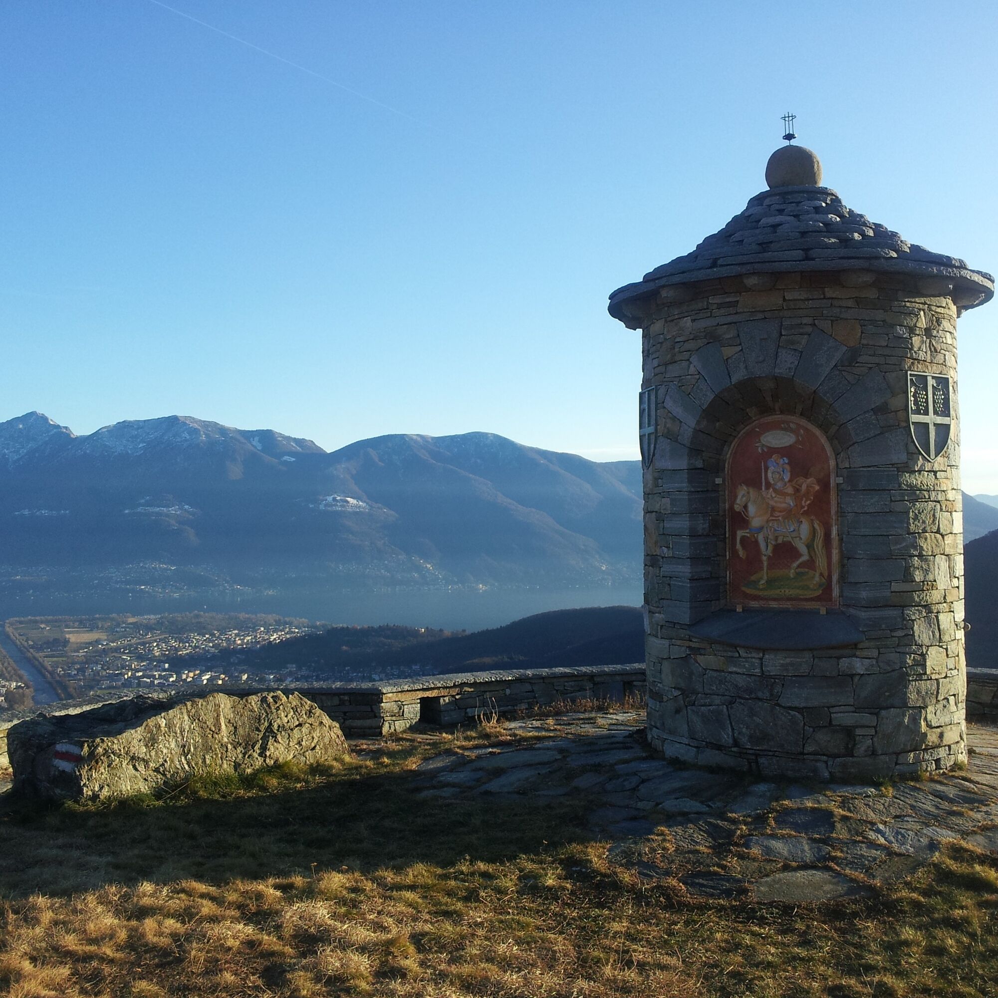
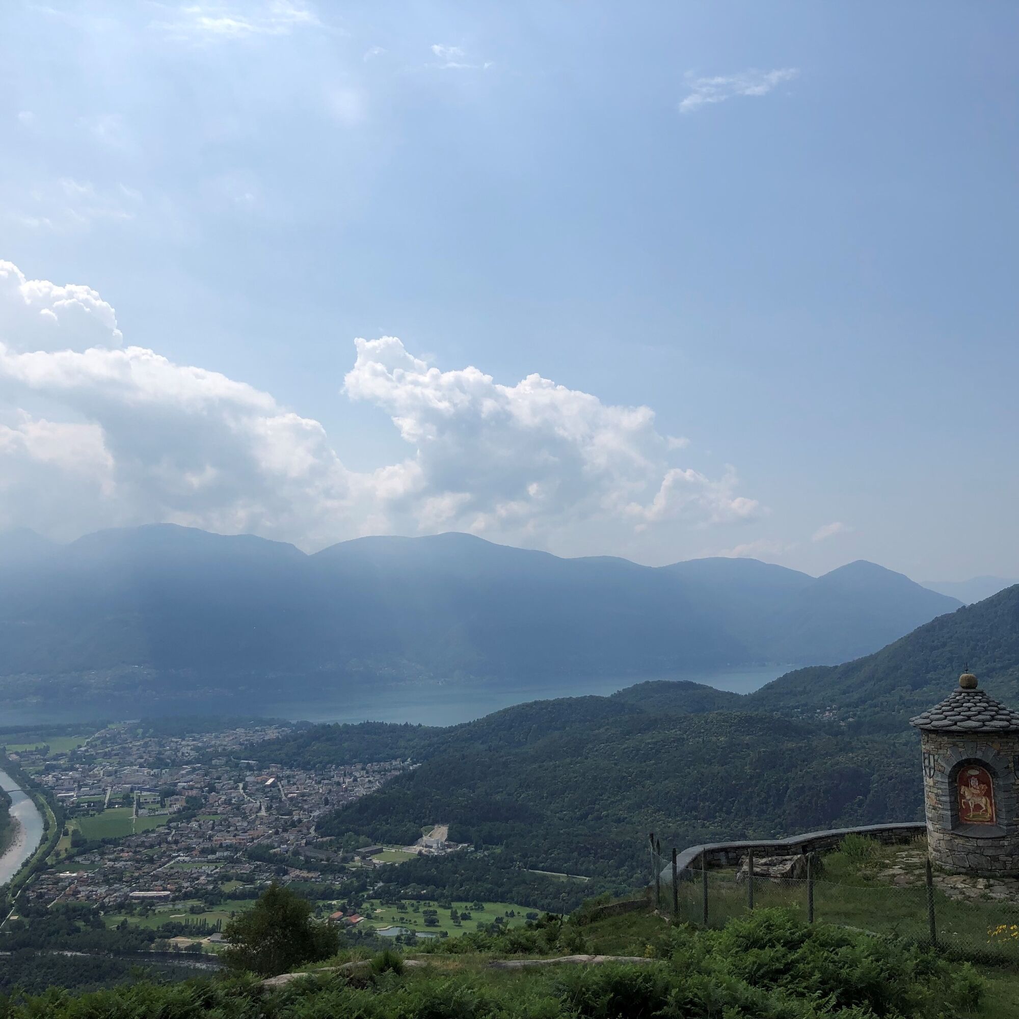
The hike starts at Tegna, reachable by car or with the Ferrovia Vigezzina-Centovalli train (Locarno-Domodossola). From Tegna, the relatively steep but easily walkable trail leads to the panoramic viewpoint of Colma. At Forcola, it is worth making a short detour to the prehistoric ruins of Castelliere, whose restoration was completed in 2018. At Colma, a terrace and a small chapel invite you to take a break to enjoy the extraordinary view of Centovalli and Lake Maggiore. In the forest, the trail gently descends to Streccia, with a view over Vallemaggia. Like a fairy tale, you walk an ancient mule track that passes over a small stone bridge and crosses the wild wooded valley along the stream “Ri da Riei” towards Riei. The further descent towards Verscio, from where the train passes, is quite steep.

Tegna-Vigneta-Rompidèe-Riei Canvetti-Riei-Frassineto-Streccia-Molinera-Costa di sotto-Colma-Comoi-Monte Forcola-Chiosso di sopra-Tegna
Hiking backpack (approx. 20 liters) with rain cover
Sturdy and comfortable shoes
Clothing suitable for weather conditions and durable, layering principle and possibly trekking poles
Protection from sun and rain
Provisions and drinking water
First aid kit
Pocket knife
Mobile phone, possibly headlamp
Map material
From Locarno station: take the Centovallina towards Domodossola. Get off at Tegna stop (stop on request).
Return from Verscio: take the Centovallina towards Locarno. Get off at the station. More information: www.sbb.ch
T2
Popularne wycieczki w okolicy
- 4,8
Verzasca Dam-Mergoscia-Corippo-Lavertezzo
średniWędrówka 13,0 km - 3,3
Entlang der Verzasca von Sonogno via Brione nach Lavertezzo
światłoWędrówka 14,5 km - 4,8
Avegno-Ponte Brolla-Avegno
średniWędrówka 8,56 km - 5,0
Lavertezzo-Brione Verzasca
światłoWędrówka 6,50 km - 5,0
Valle del Salto round route (SvizzeraMobile 611)
średniWędrówka 8,84 km - 4,3
Revöira Ethnographic Trail (SwitzerlandMobile 629)
średniWędrówka 7,97 km - 3,8
Cannobio zu Sant’Aagata
światłoWędrówka 5,85 km - 4,0
Cardada Bike (SwitzerlandMobility 397)
ciężkiMountainbike 30,6 km - 5,0
Verzasca Dam-Monti di Motti-Verzasca Dam
średniWędrówka 9,31 km Maggia-Someo-Maggia
światłoWędrówka 15,5 km

Wędrówki i tropienie


Nie przegap ofert i inspiracji na następne wakacje
Twój adres e-mail została dodana do listy mailingowej.