


Valle Verzasca Trail
Poziom trudności: T2
Zdjęcia naszych użytkowników
-
 © KAMartinUtworzono dnia 15.12.2024
 -
 © KAMartinUtworzono dnia 15.12.2024
 -
 © KAMartinUtworzono dnia 15.12.2024
 -
 © Silvia CapelliUtworzono dnia 05.11.2021
 -
 © Silvia CapelliUtworzono dnia 05.11.2021
 -
 © Silvia CapelliUtworzono dnia 05.11.2021
 -
 © Silvia CapelliUtworzono dnia 05.11.2021
 -
 © Silvia CapelliUtworzono dnia 05.11.2021
 -
 © Silvia CapelliUtworzono dnia 05.11.2021
 -
 © Silvia CapelliUtworzono dnia 05.11.2021


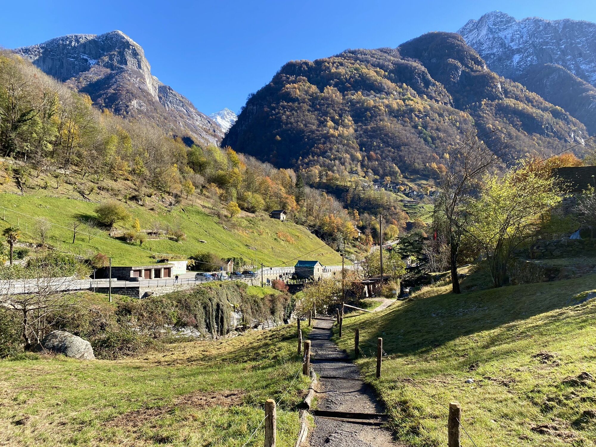
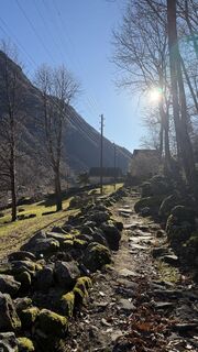
The route can start either from Mergoscia (735 m) or from the Verzasca Dam (478 m). In the first case, you reach Corippo (563 m) walking about a hundred meters above the artificial lake. Then you descend...
The route can start either from Mergoscia (735 m) or from the Verzasca Dam (478 m). In the first case, you reach Corippo (563 m) walking about a hundred meters above the artificial lake. Then you descend to the "Corippo Junction".
In the second case, starting from the dam, after a long stretch of forest, you pass through the many hamlets of Vogorno before returning to the forest to reach the "Corippo Junction" as well.
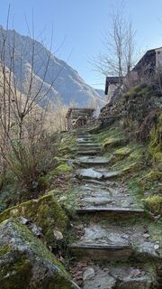
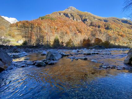
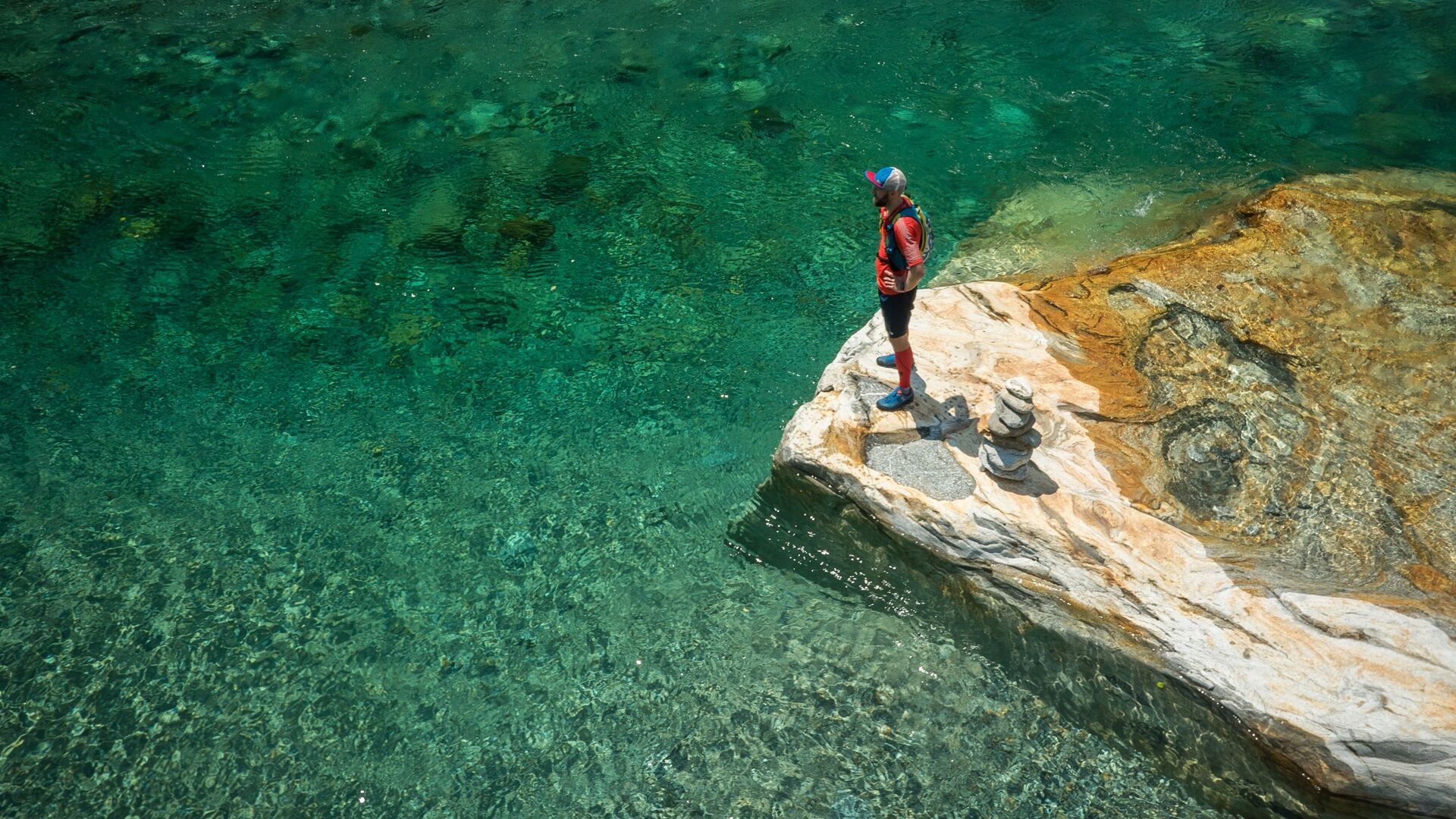
From here, the route continues flat to the village of Lavertezzo (536 m), very famous for its double-arched bridge and its magnificent green water pools.
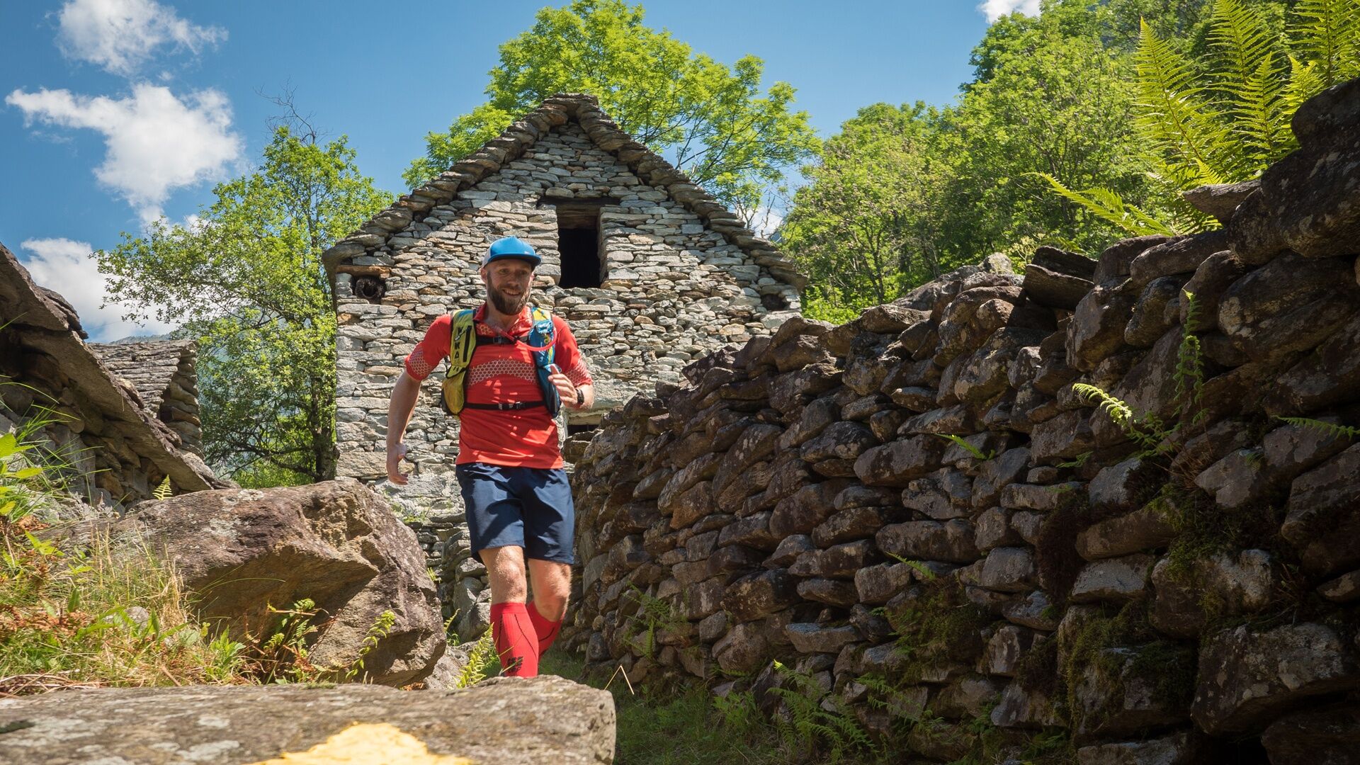
Continue to Brione (756 m) along a section where a few years ago an "Art Trail" was created, of which some contemporary artists' sculptures can still be seen, set in a truly happy natural context. These works vary in style, techniques, and materials (ceramics, wood, metal, glass, and stone). As expected, some of these sculptures have "merged" with nature, while others have kept their original appearance.
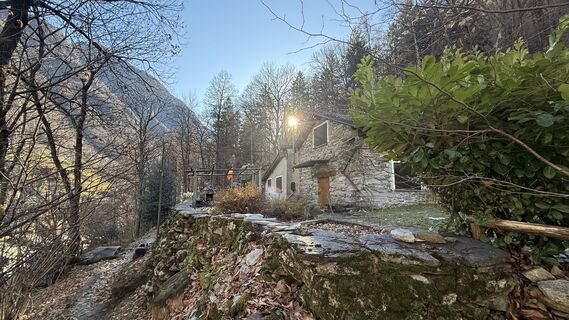
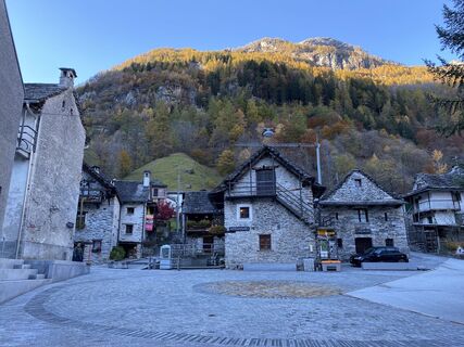
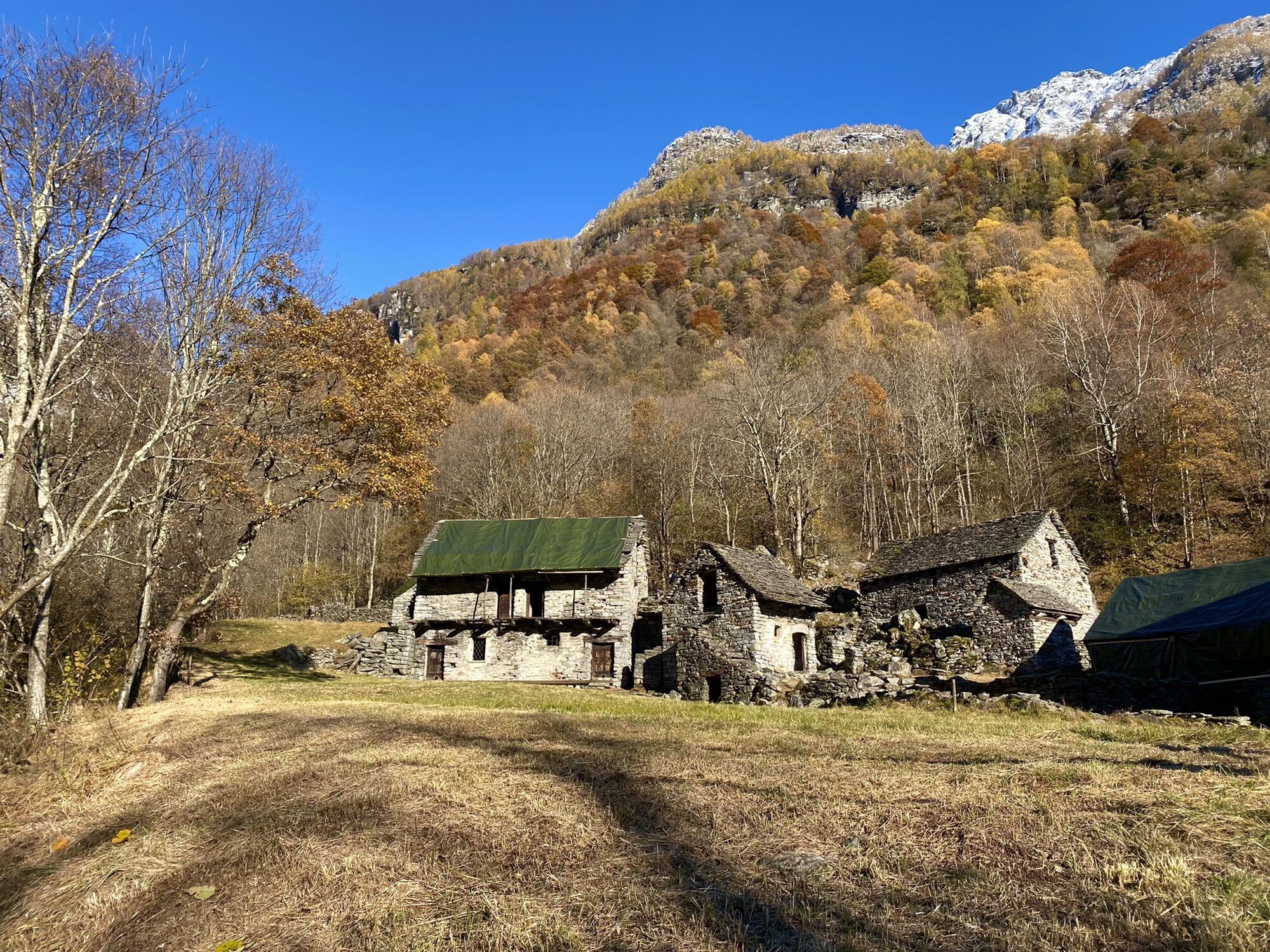
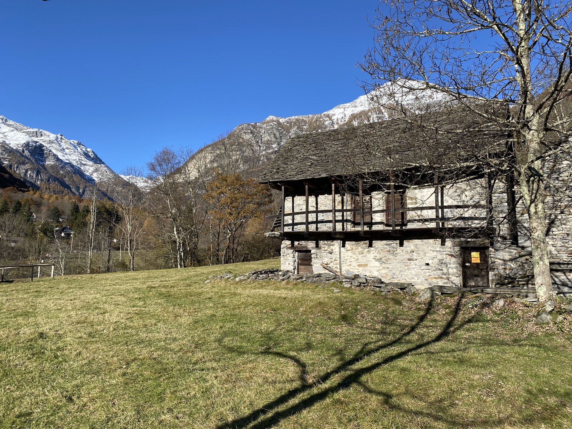
The route continues among old buildings and chapels – you can even see recently highlighted wolf traps – up to the last village. Sonogno (917 m) hosts the "Wool House" and the ethnographic museum, which collects the memories of the valley and the history of chimney sweeps. From Sonogno you return by postal bus.

Verzasca Dam (Wild)-Fontöbbia-Berzona-Vogorno-S.Bartolomeo-Bridge of Corippo-Campiòi-Oviga di Fuori-Lavertezzo-Oviga-Piano-Listra-Piee-Alnasca-Motta-Lorentino-Al Cortásc-Frasco-Alnedo-Sonogno
Tak
ð Clothing:
Breathable technical t-shirt Trail shorts or leggings Anti-blister sports socks Light windproof/rainproof jacket Cap or headband Sunglasses with UV protectionð Shoes:
Trail shoes with good grip𥤠Hydration and nutrition:
Trail running backpack or belt At least 1 litre of water Energy snacks: bars, gels, or dried fruitð§ Safety and navigation:
Charged mobile phone Map or GPS track of the route Emergency whistle Mini first aid kit Emergency thermal blanketâï¸ Other advice:
Sunscreen Anti-chafing cream Trail poles (optional)Excellent mobile phone reception along the whole route.
Outbound from Locarno, Station: take bus 321 towards Sonogno. Get off at the Verzasca Dam stop.
Return from Sonogno: take bus 321 towards Locarno, Station. Get off at Locarno, Piazza Stazione stop.
For more information: www.sbb.ch
T2


Popularne wycieczki w okolicy
-
3,3
Entlang der Verzasca von Sonogno via Brione nach Lavertezzo
światłoWędrówka 14,5 km -
4,8
Avegno-Ponte Brolla-Avegno
średniWędrówka 8,56 km -
4,8
Verzasca Dam-Mergoscia-Corippo-Lavertezzo
średniWędrówka 13,0 km -
5,0
Valle del Salto round route (SvizzeraMobile 611)
średniWędrówka 8,84 km -
5,0
Lavertezzo-Brione Verzasca
światłoWędrówka 6,50 km -
4,3
Revöira Ethnographic Trail (SwitzerlandMobile 629)
średniWędrówka 7,97 km -
4,0
Cardada Bike (SwitzerlandMobility 397)
ciężkiMountainbike 30,6 km -
5,0
Verzasca Dam-Monti di Motti-Verzasca Dam
średniWędrówka 9,31 km -
Maggia-Someo-Maggia
światłoWędrówka 15,5 km -
Cardada-Cimetta-Alpe Vegnasca-Cardada
średniWędrówka 6,86 km
Wędrówki i tropienie


Nie przegap ofert i inspiracji na następne wakacje
Twój adres e-mail została dodana do listy mailingowej.