







Colma Trail
Poziom trudności: T3
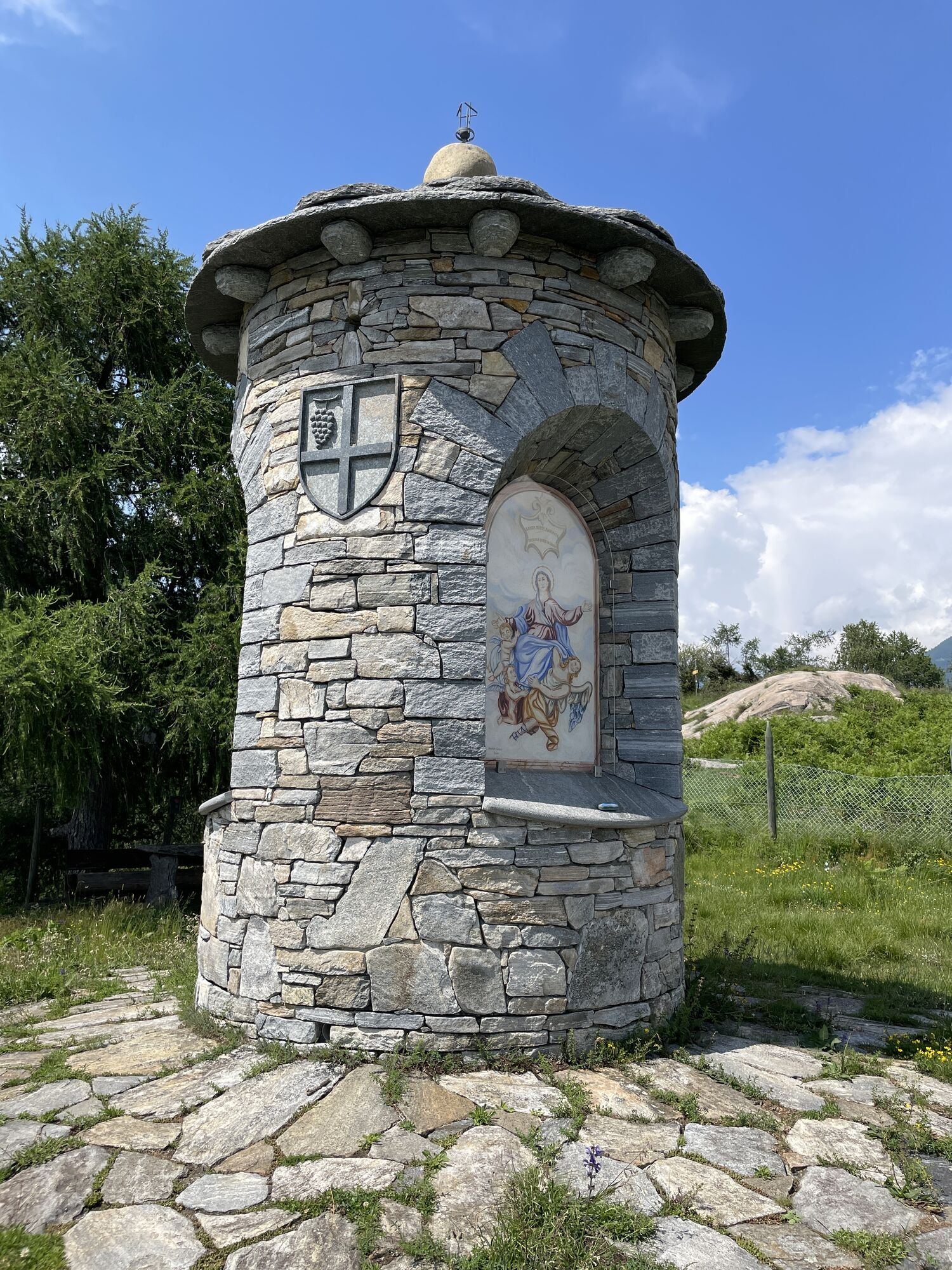
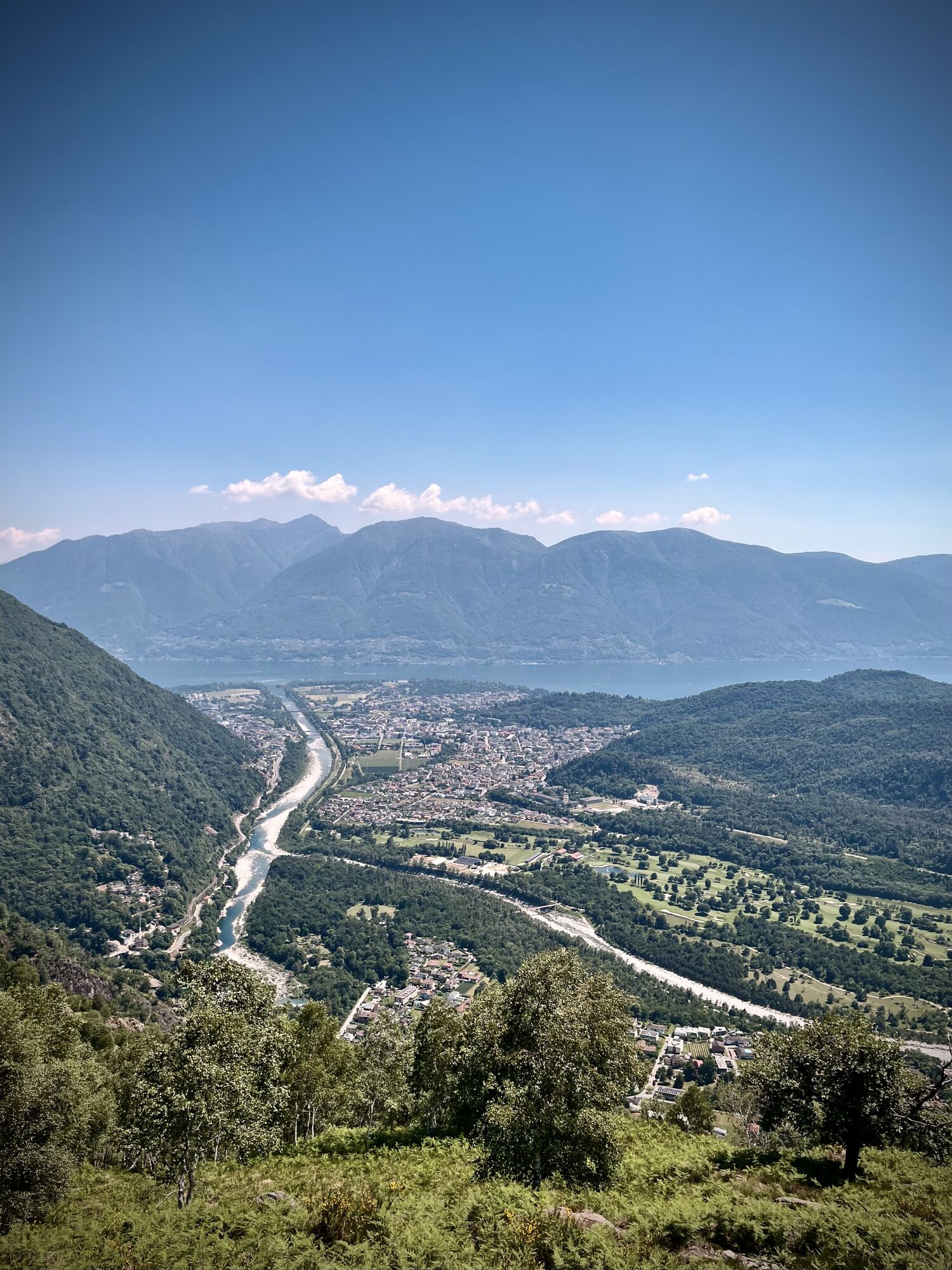
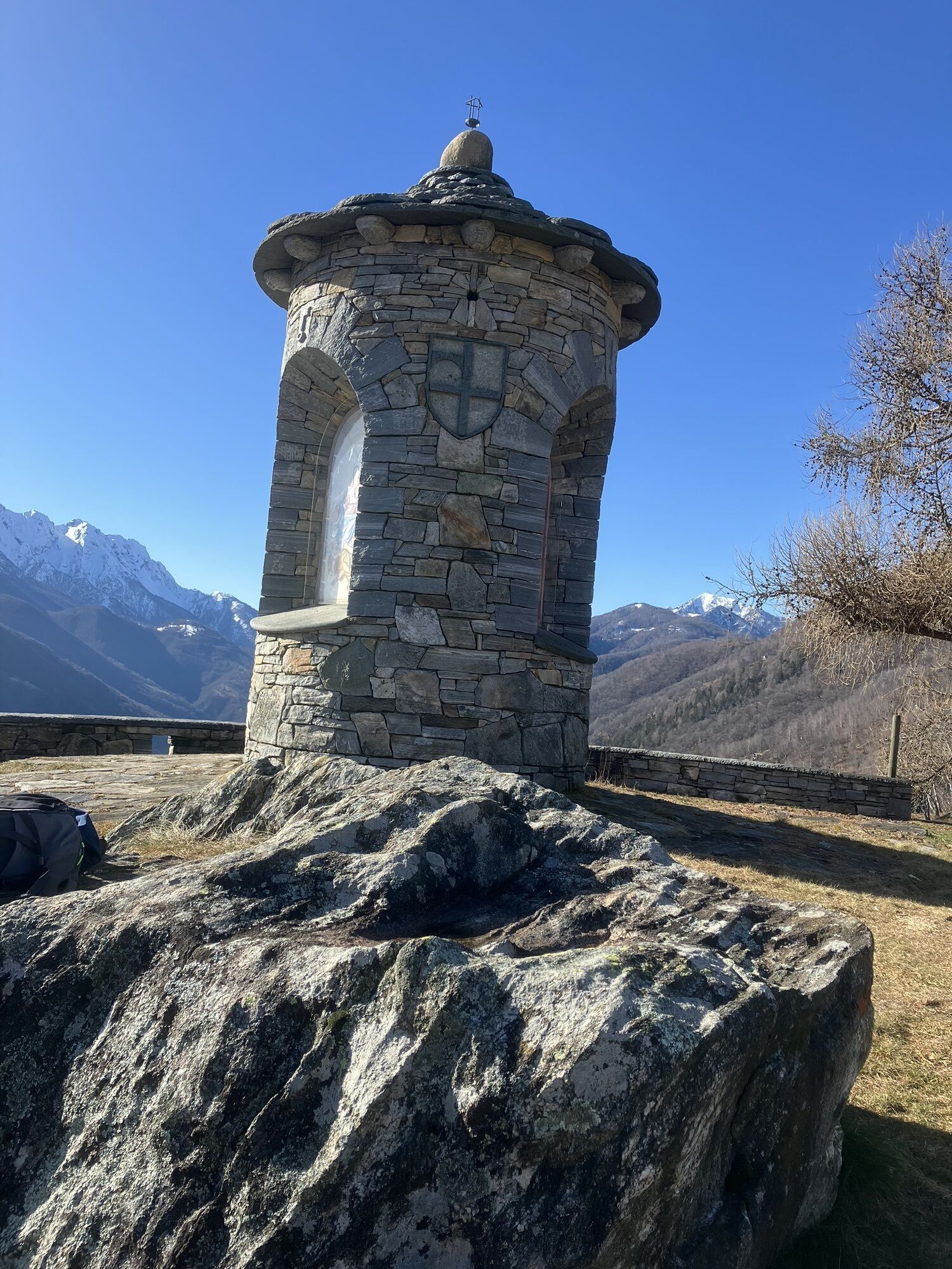
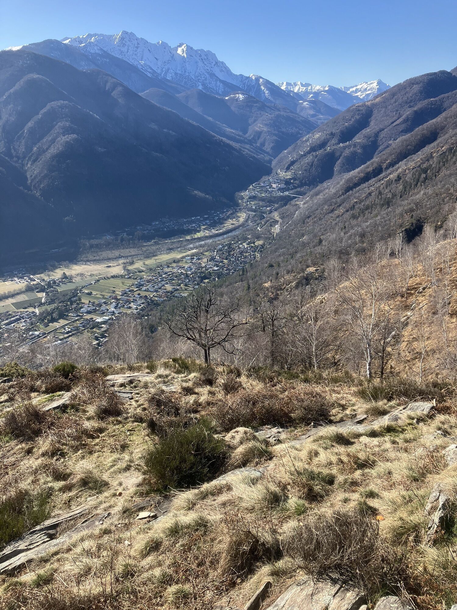
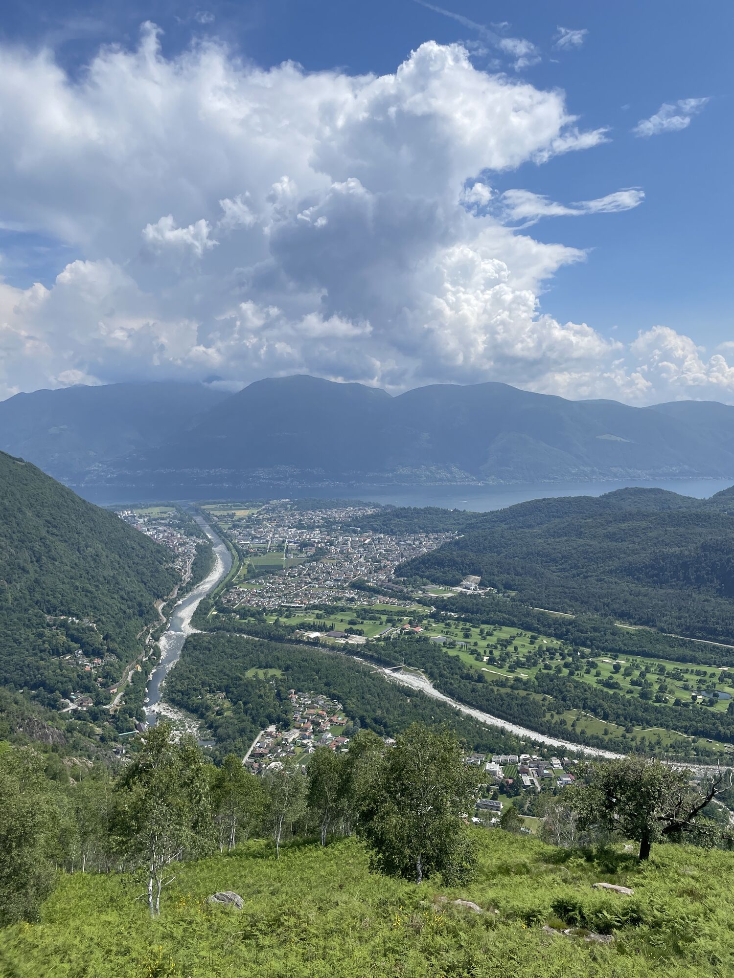
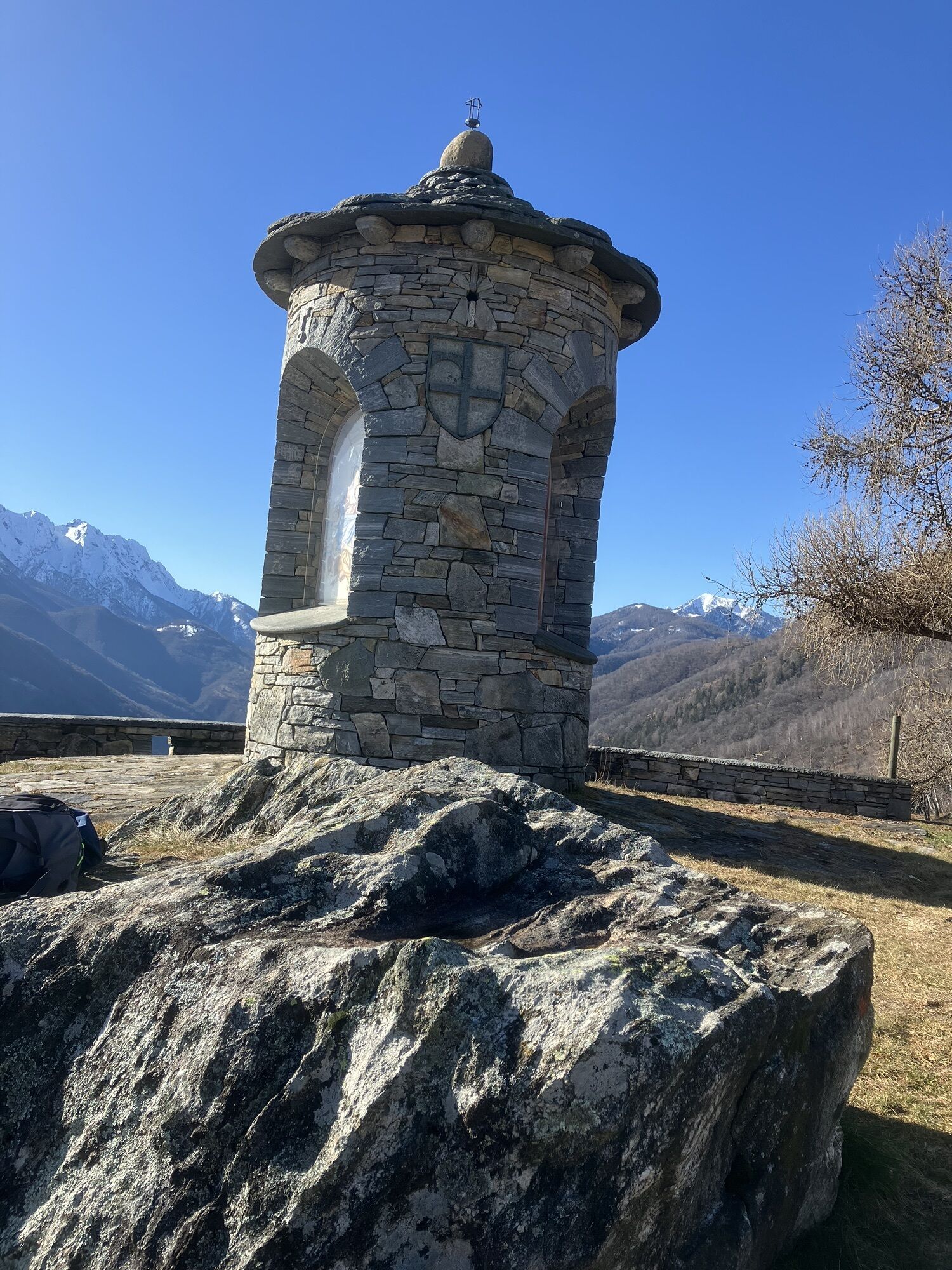
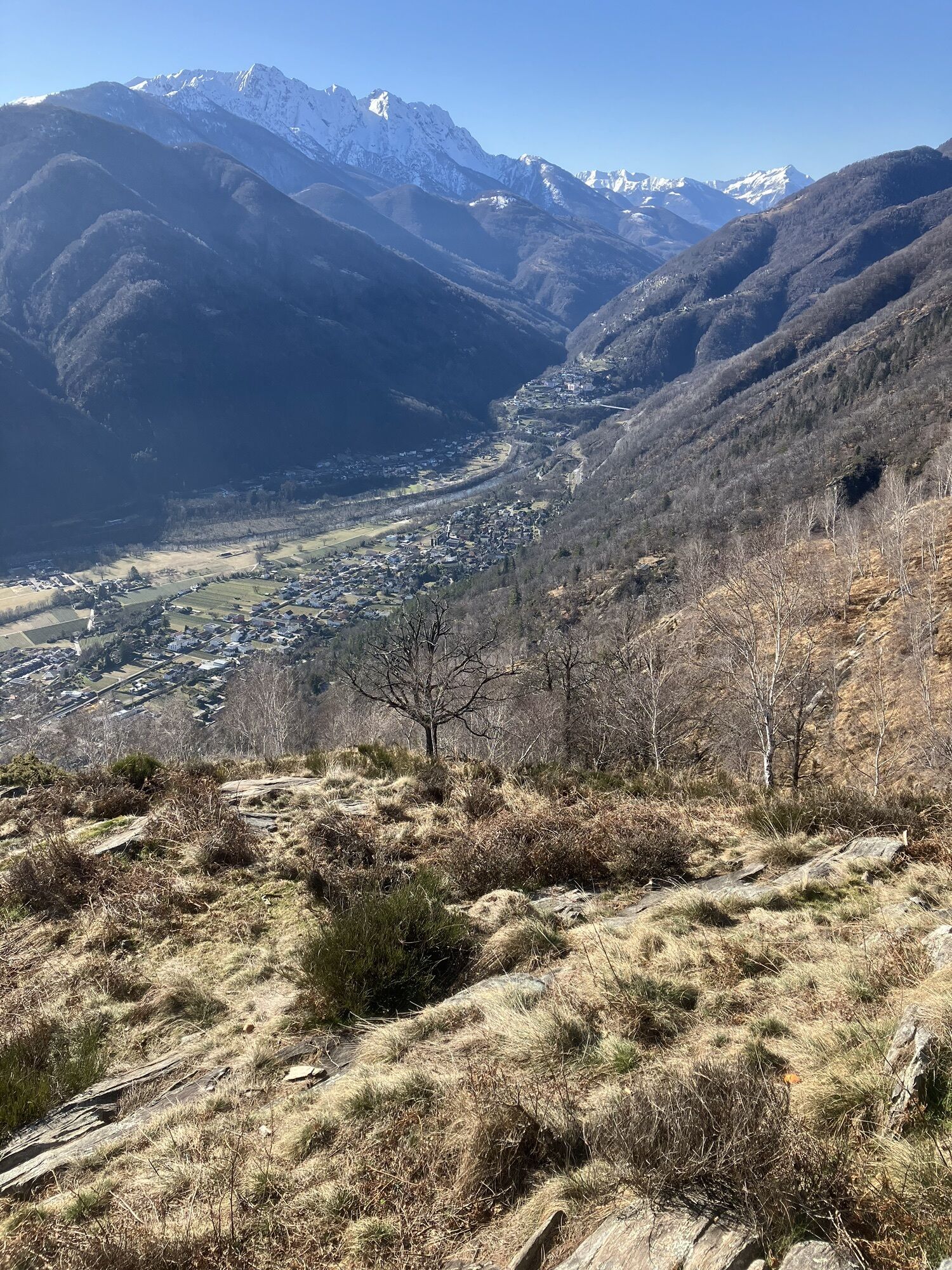
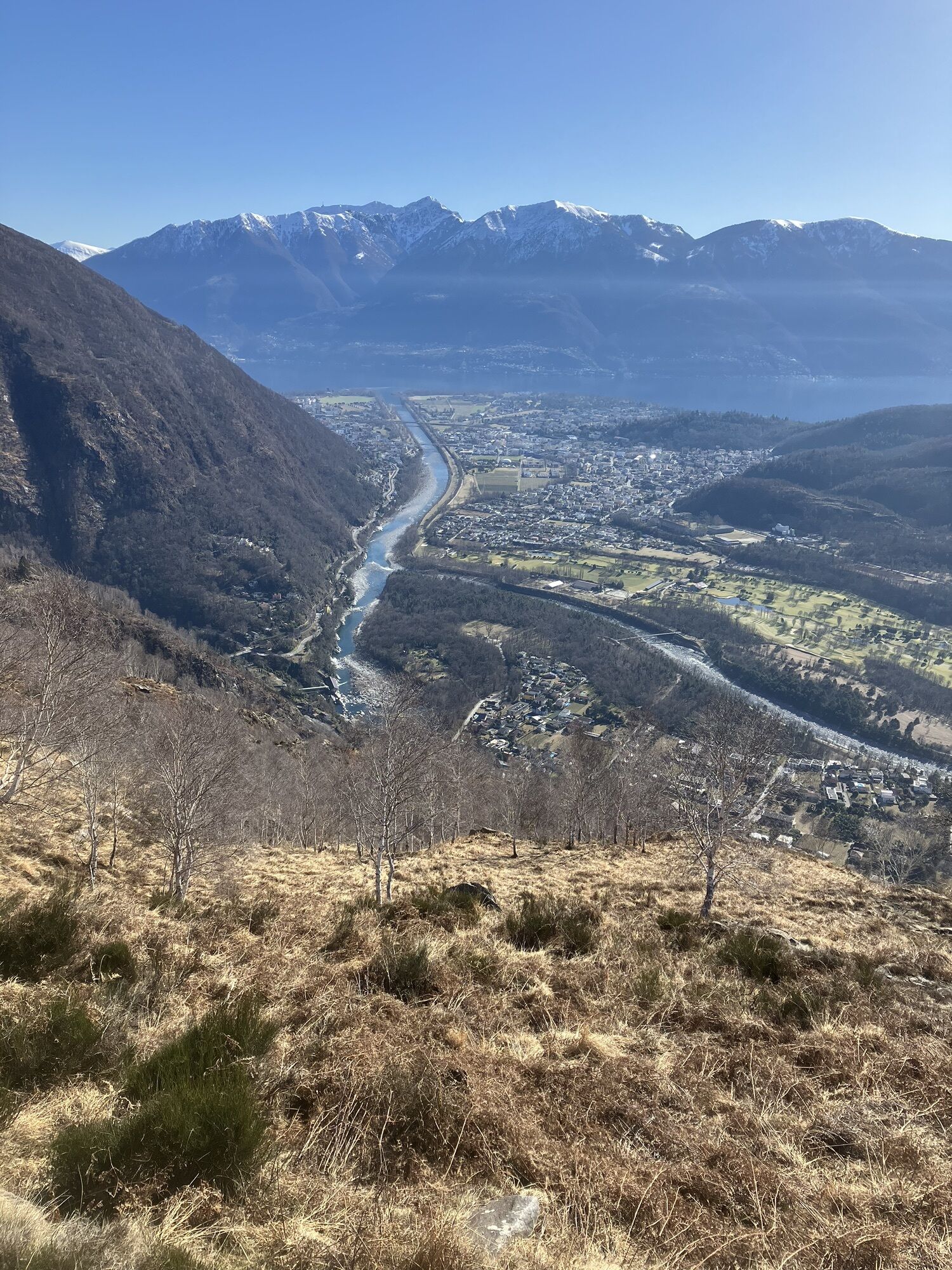
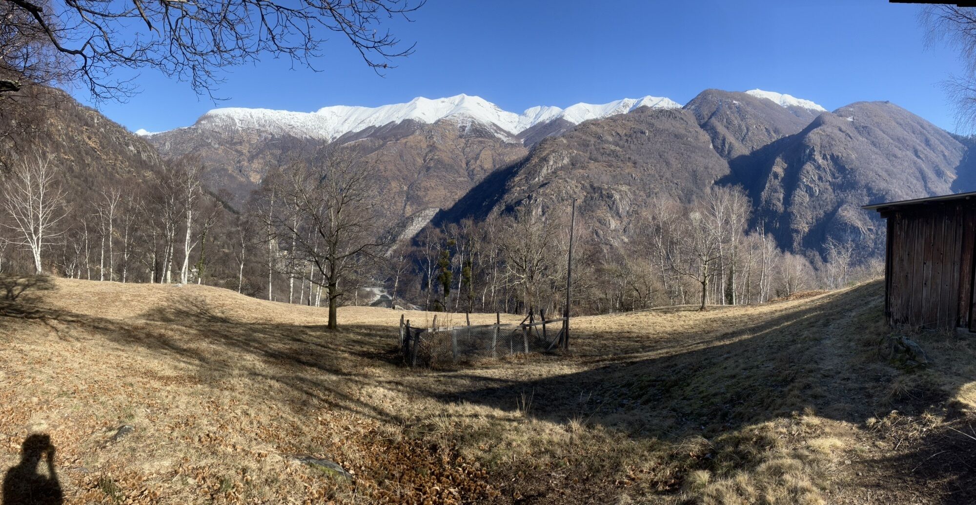
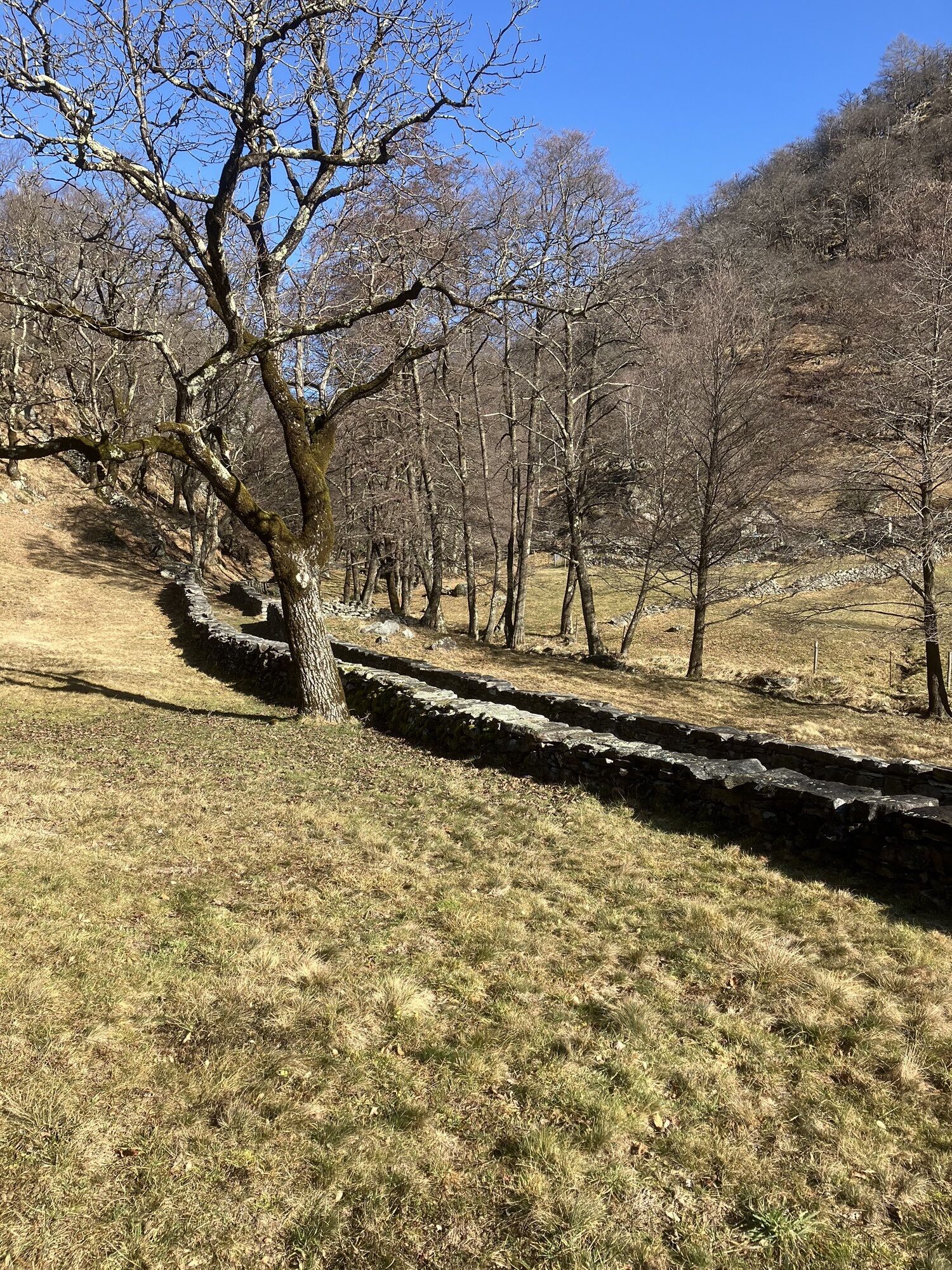

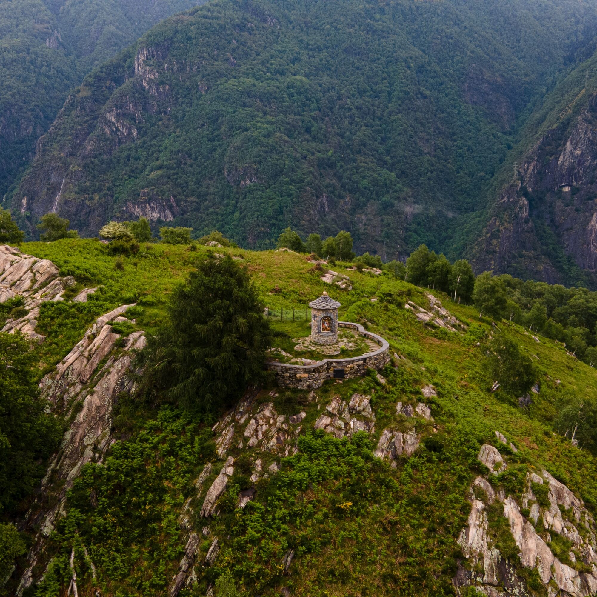
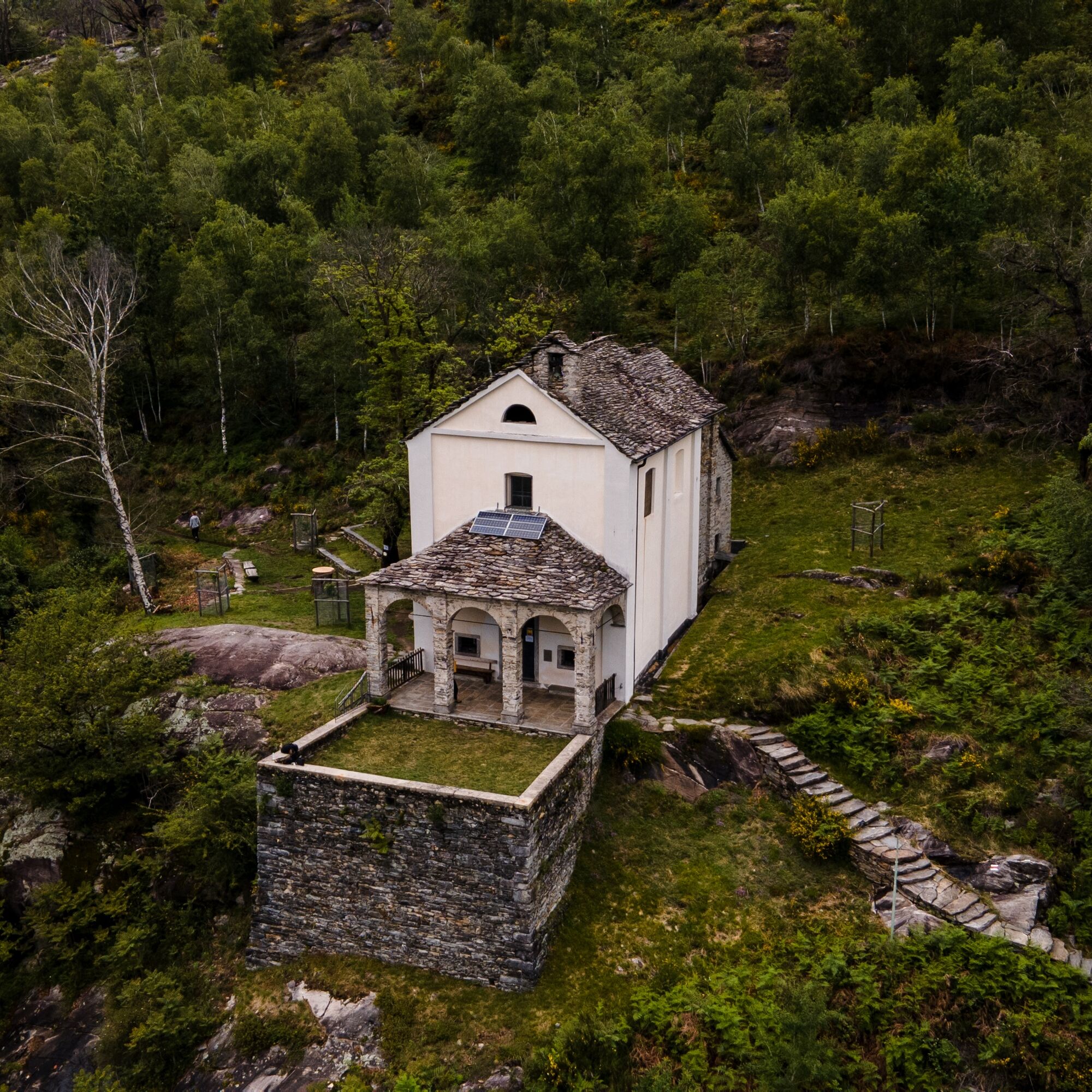
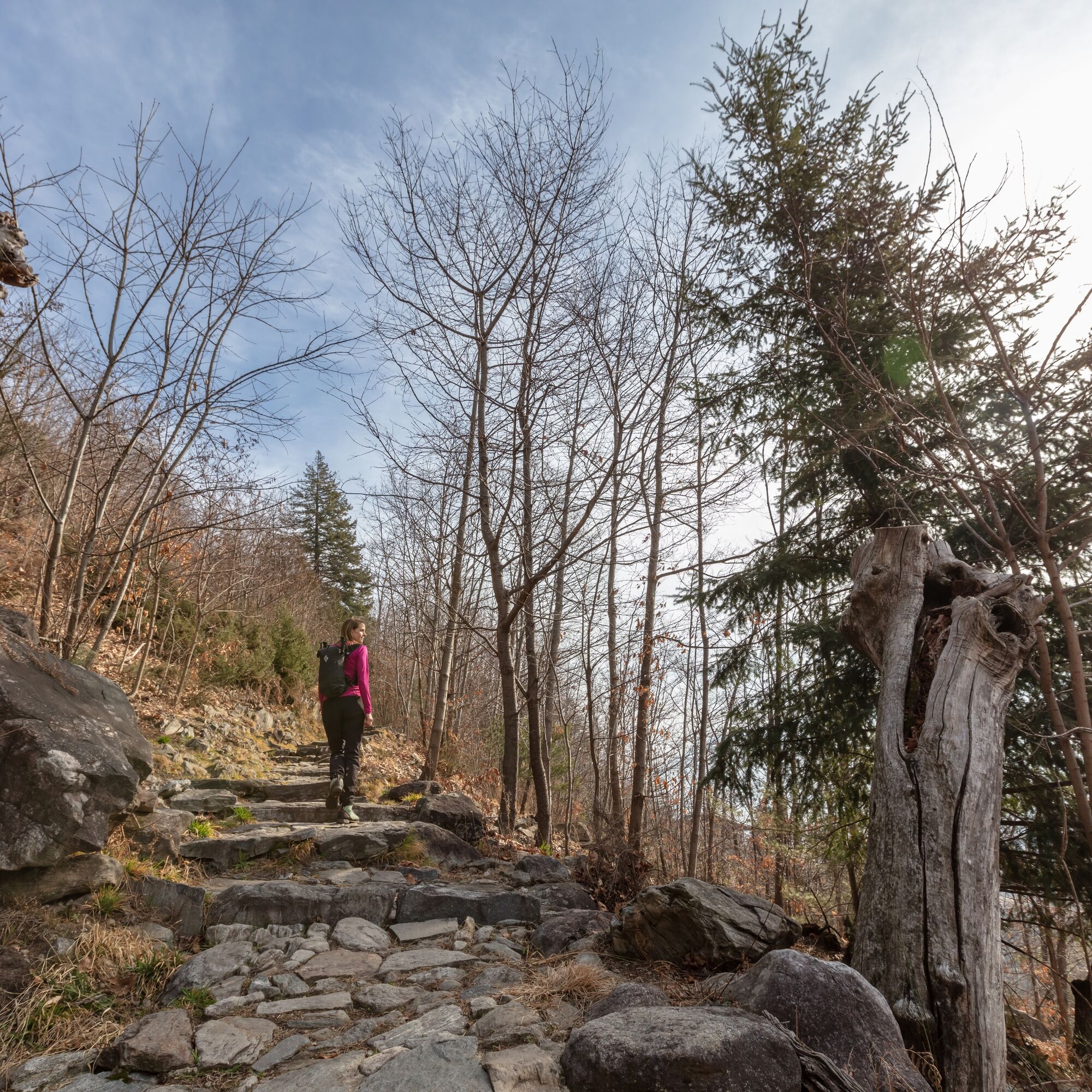
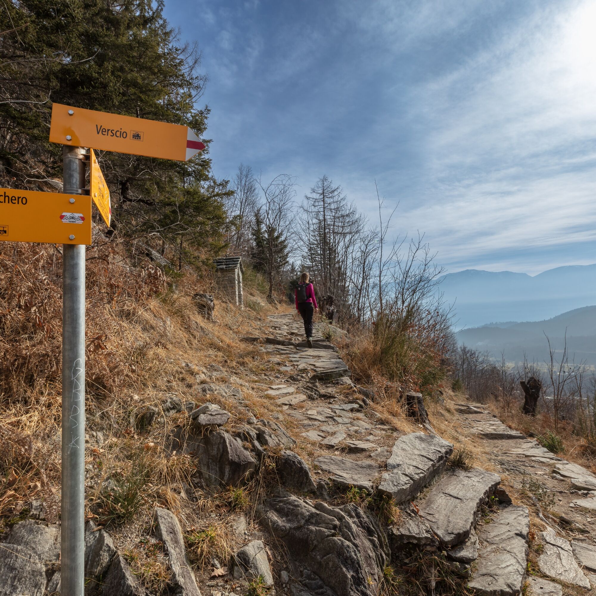
From the picturesque village of Verscio, take a stone-paved hiking path that winds with a gentle slope up to the Sant'Anna oratory, a charming chapel dating back to the 17th century. After a short descent...
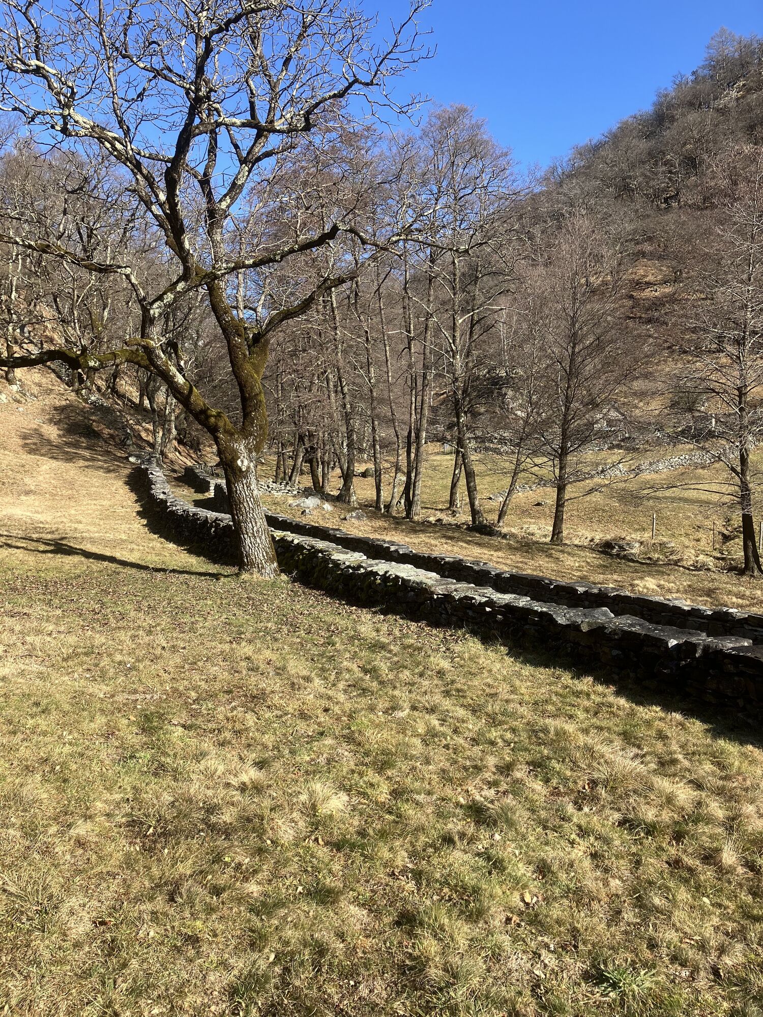
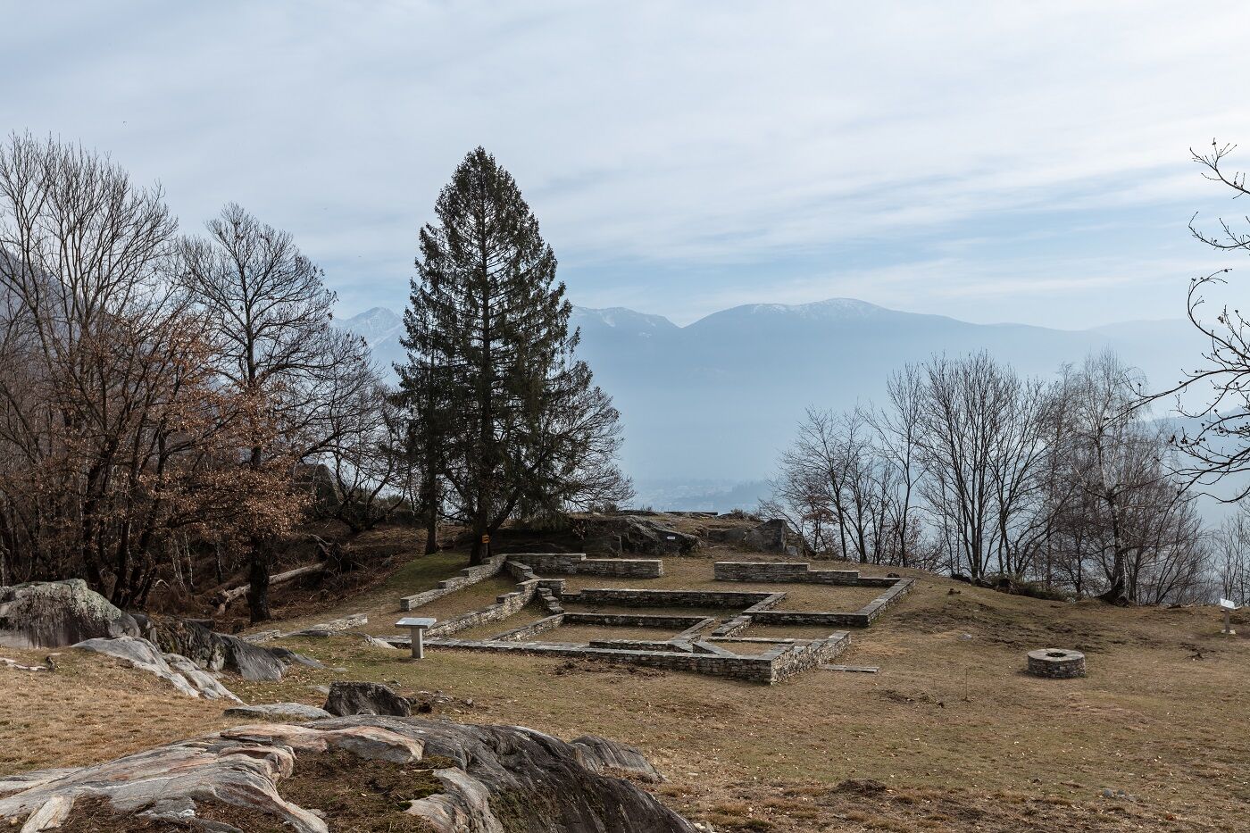
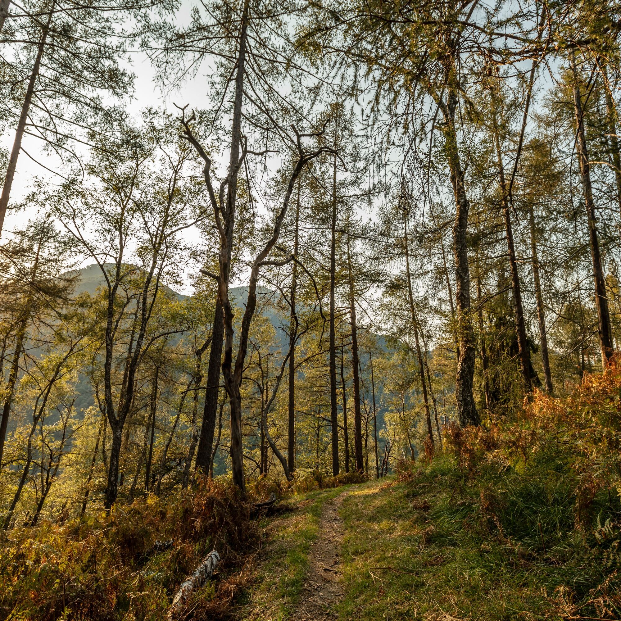
From the picturesque village of Verscio, take a stone-paved hiking path that winds with a gentle slope up to the Sant'Anna oratory, a charming chapel dating back to the 17th century. After a short descent on stone steps, the path climbs again towards Monte Forcola. Here a short detour is recommended to visit the prehistoric ruins of Castelliere, one of the most fascinating archaeological sites in the Locarno area.
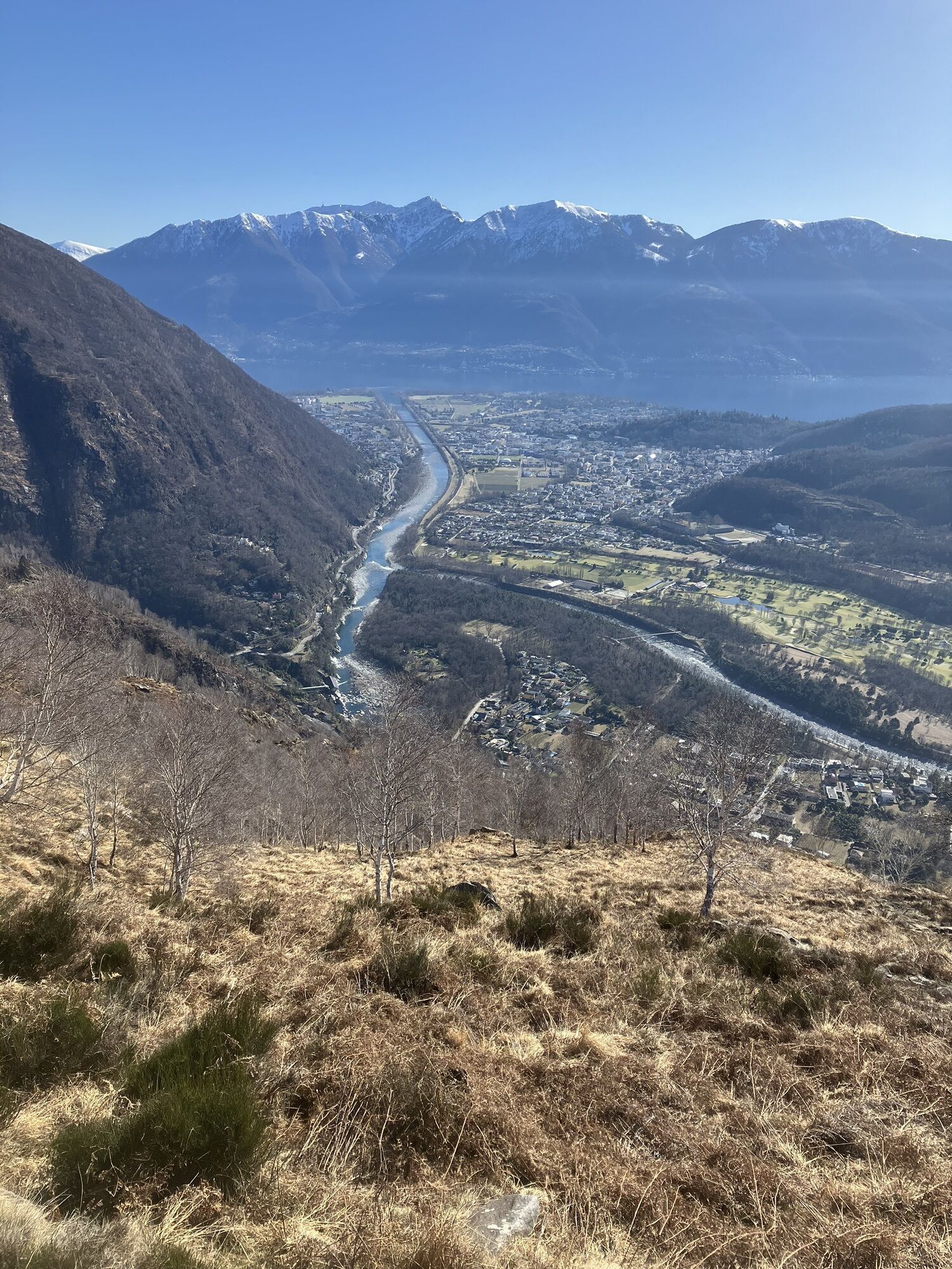
The following climb to Colma is steep and technical, ideal for those who want to train on a path with a significant slope. Upon reaching Colma, a large terrace and a small chapel offer the perfect opportunity for a break, with a breathtaking view stretching from the Centovalli to Lake Maggiore.
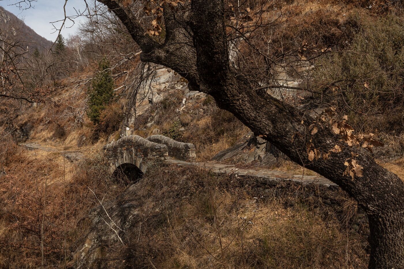
The route then continues with a technical descent to the locality of Streccia, where an ancient mule track runs alongside the stream “Ri da Riei”, finally leading back to the starting point at Verscio.


ð Clothing:
Technical breathable t-shirt Trail shorts or leggings Anti-blister sports socks Light windproof/rainproof jacket Cap or headband Sunglasses with UV protectionð Shoes:
Trail shoes with good grip𥤠Hydration and nutrition:
Trail running backpack or belt At least 1 liter of water Energy snacks: bars, gels, or dried fruitð§ Safety and navigation:
Charged mobile phone Map or GPS track of the route Emergency whistle Mini first aid kit Emergency thermal blanketâï¸ Other advice:
Sunscreen Anti-chafing cream Trail poles (optional)T3
 Uzyskaj wgląd
Zawsze na żywo z ponad 9 500 kamer internetowych. bergfex Jako użytkownik Pro, możesz teraz zobaczyć odpowiednie kamery internetowe dla wielu wycieczek w aplikacji wycieczki od. Pozwala to na bezpośredni podgląd aktualnych warunków.
Uzyskaj wgląd
Zawsze na żywo z ponad 9 500 kamer internetowych. bergfex Jako użytkownik Pro, możesz teraz zobaczyć odpowiednie kamery internetowe dla wielu wycieczek w aplikacji wycieczki od. Pozwala to na bezpośredni podgląd aktualnych warunków.
Popularne wycieczki w okolicy
-
4,6
Verzasca Dam-Mergoscia-Corippo-Lavertezzo
średniWędrówka 13,0 km -
4,8
Valle del Salto round route (SvizzeraMobile 611)
średniWędrówka 8,84 km -
4,8
Avegno-Ponte Brolla-Avegno
średniWędrówka 8,56 km -
3,3
Entlang der Verzasca von Sonogno via Brione nach Lavertezzo
światłoWędrówka 14,5 km -
5,0
Lavertezzo-Brione Verzasca
światłoWędrówka 6,50 km -
4,5
Revöira Ethnographic Trail (SwitzerlandMobility 629)
średniWędrówka 7,97 km -
3,8
Cannobio zu Sant’Aagata
światłoWędrówka 5,85 km -
4,0
Cardada Bike (SwitzerlandMobility 397)
ciężkiMountainbike 30,6 km -
5,0
Verzasca Dam-Monti di Motti-Verzasca Dam
średniWędrówka 9,31 km -
Cardada-Cimetta-Alpe Vegnasca-Cardada
średniWędrówka 6,86 km
Wędrówki i tropienie


Nie przegap ofert i inspiracji na następne wakacje
Twój adres e-mail została dodana do listy mailingowej.





