


Via Francisca del Lucomagno
Stage 1: before reaching the Lukmanier Pass
After Constance, the Via Francisca del Lucomagno enters Switzerland at Kreuzlingen and then continues along the lakeshore to Romanshorn and Arbon. From there,...
Stage 1: before reaching the Lukmanier Pass
After Constance, the Via Francisca del Lucomagno enters Switzerland at Kreuzlingen and then continues along the lakeshore to Romanshorn and Arbon. From there, it continues to St. Gallen and then on to the Principality of Liechtenstein. The subsequent stages lead to the border with Canton Grisons (at Maienfeld) and then on to Chur. Follow along the Vorderrhein to reach Bonaduz, the gateway to the Grand Canyon of Switzerland, which, with its spectacular gorges, points the way to Ilanz.
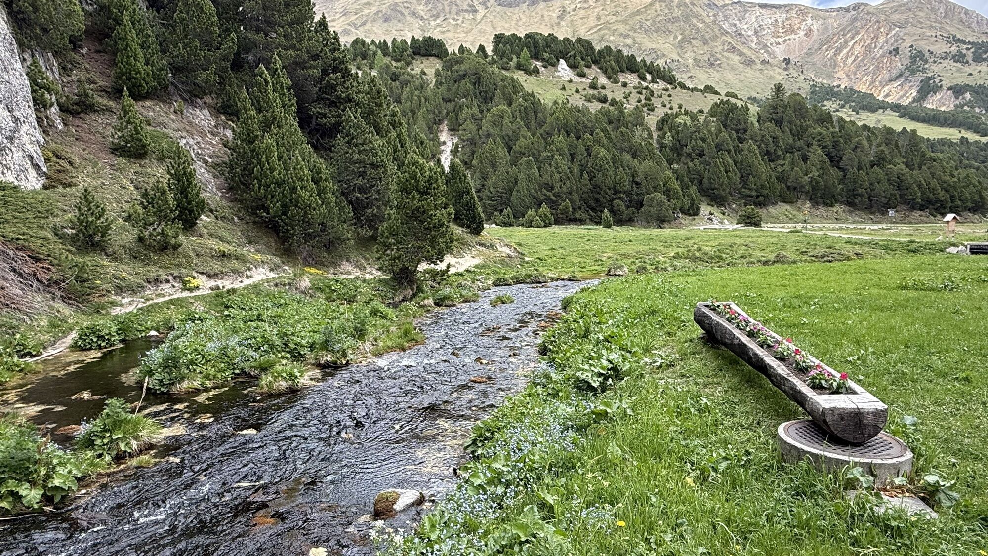
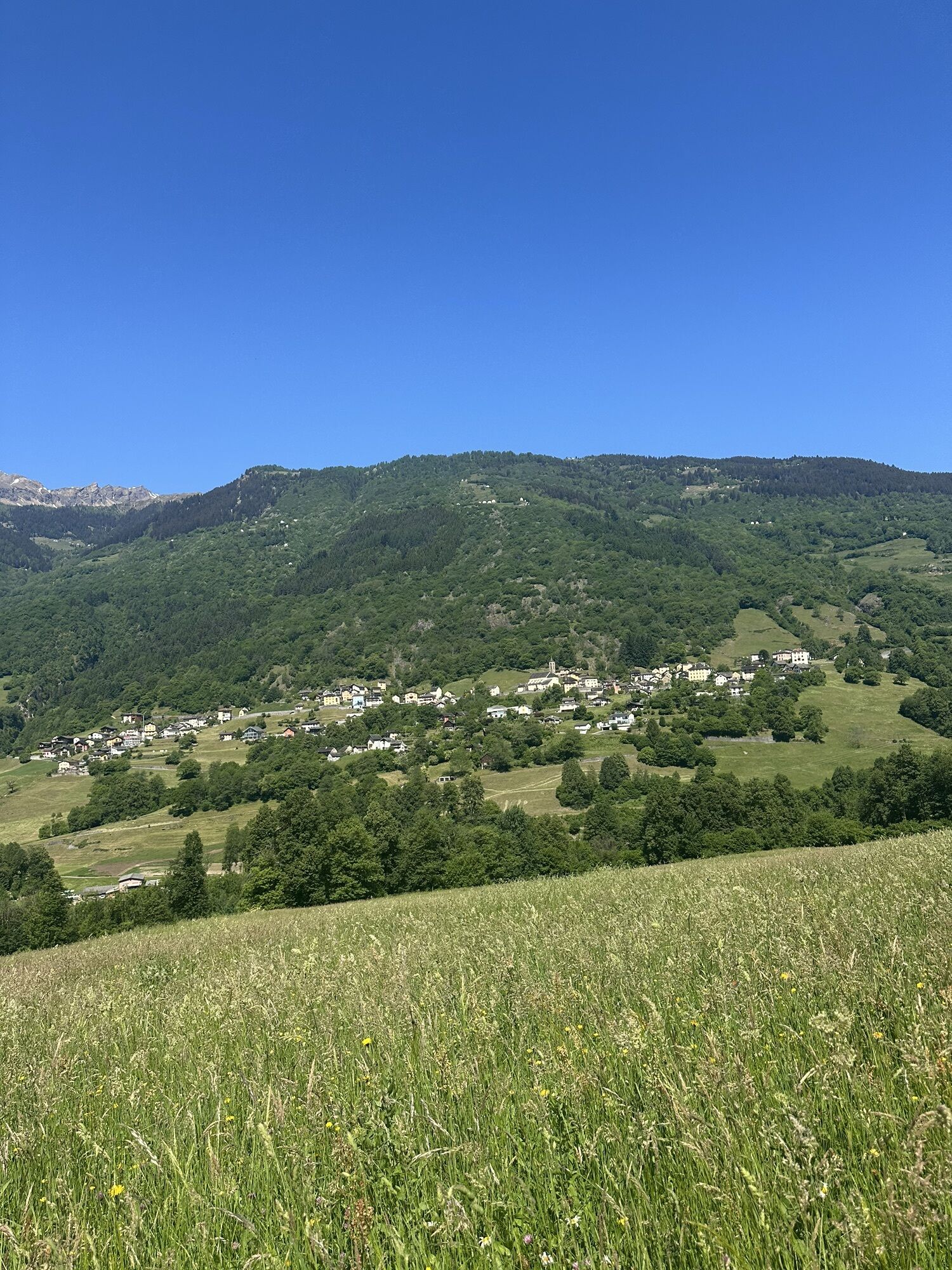
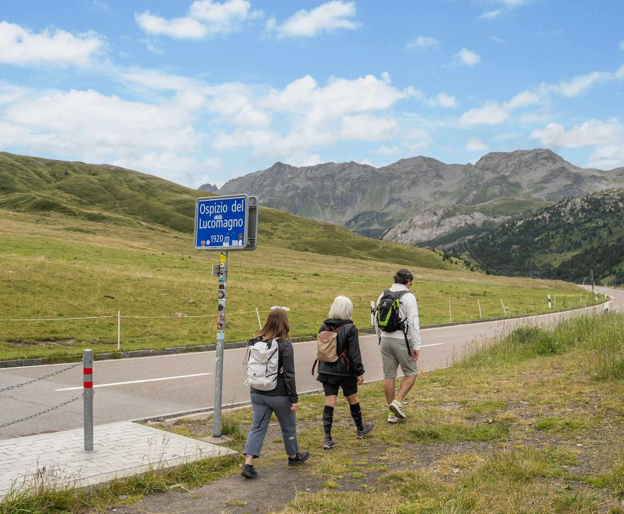
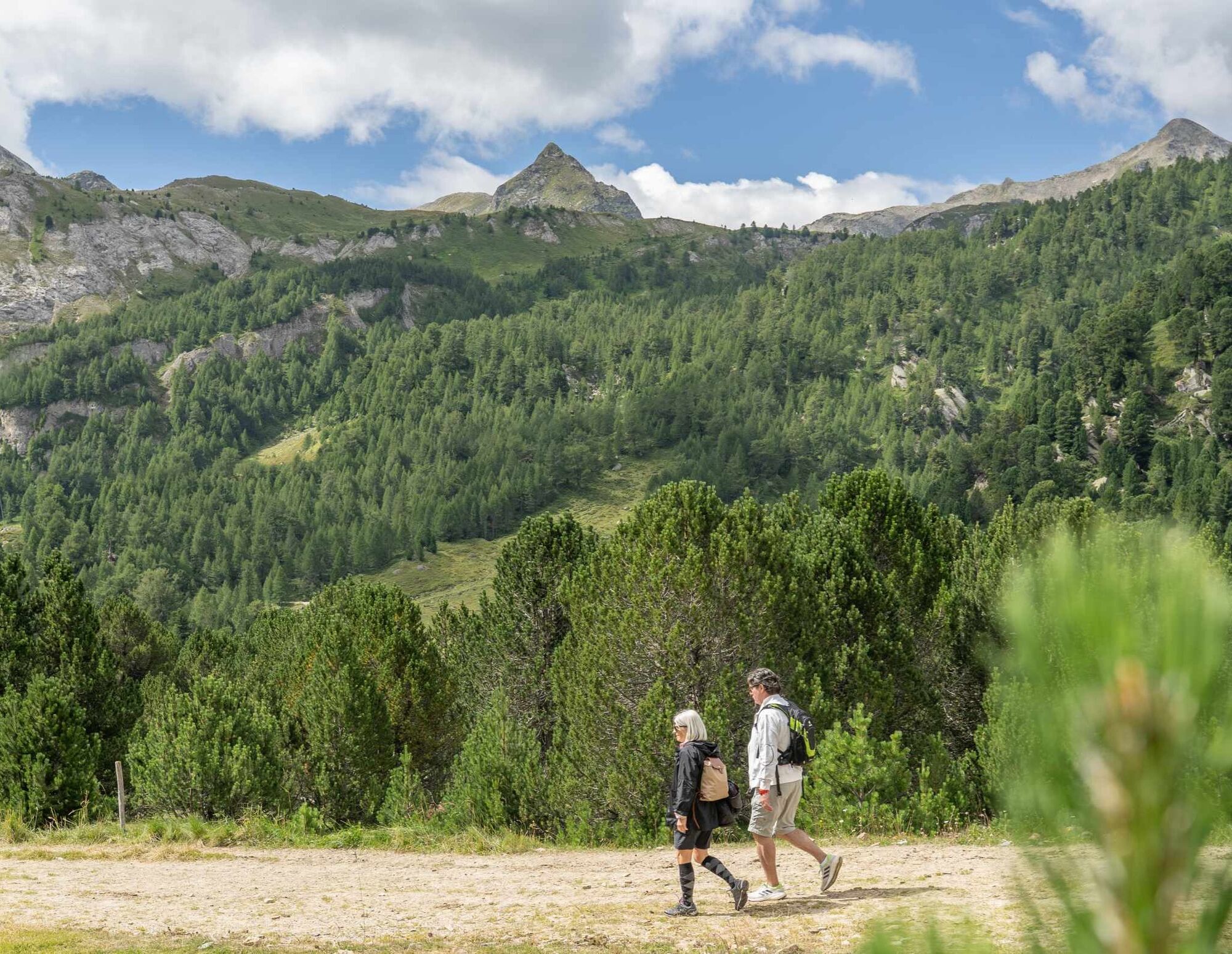
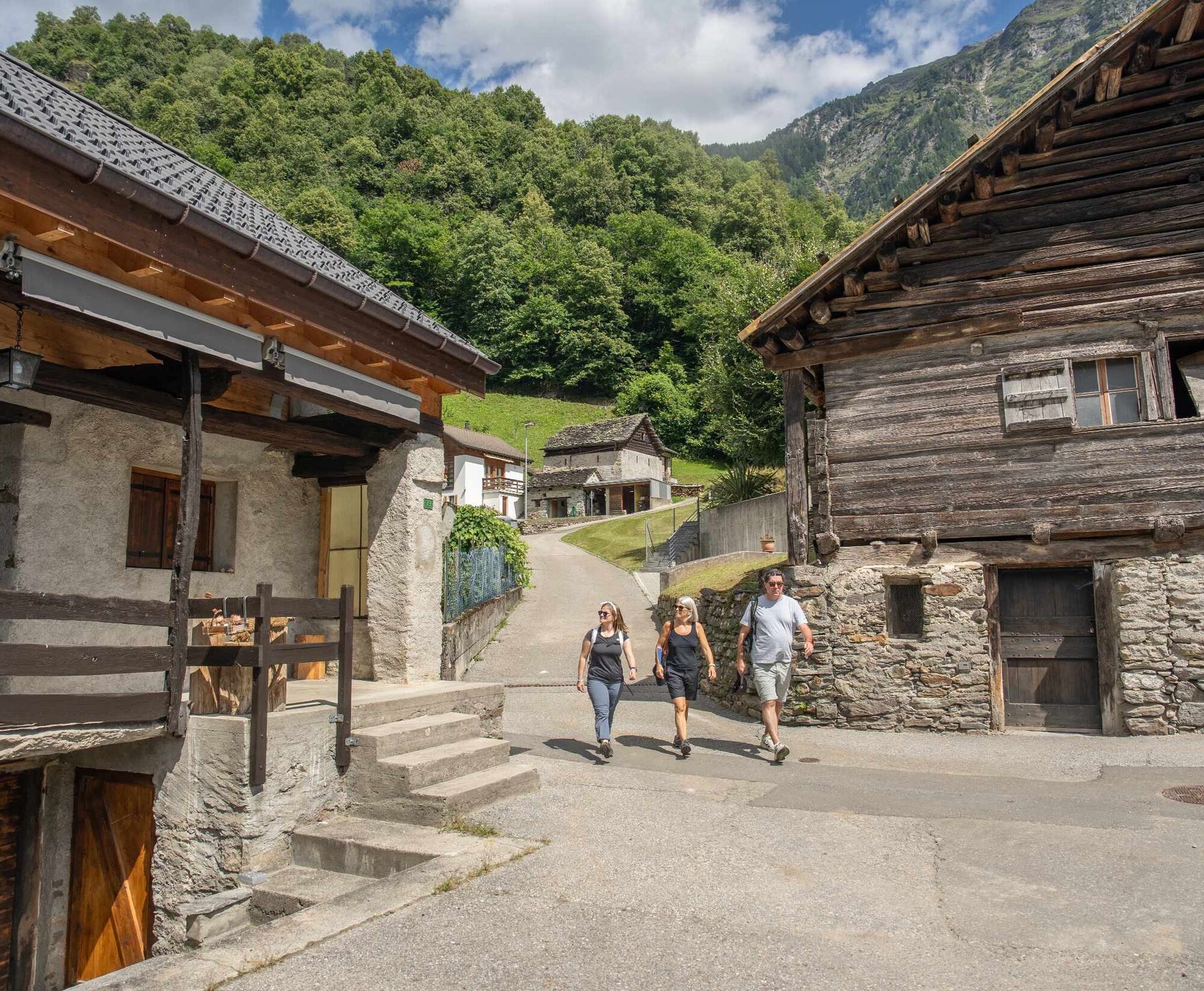
Here begins the ascent towards the Lukmanier Pass with the Disentis Abbey being the first goal to reach, after passing the villages of Brigels, Trun, Rabius and Sumvitg.
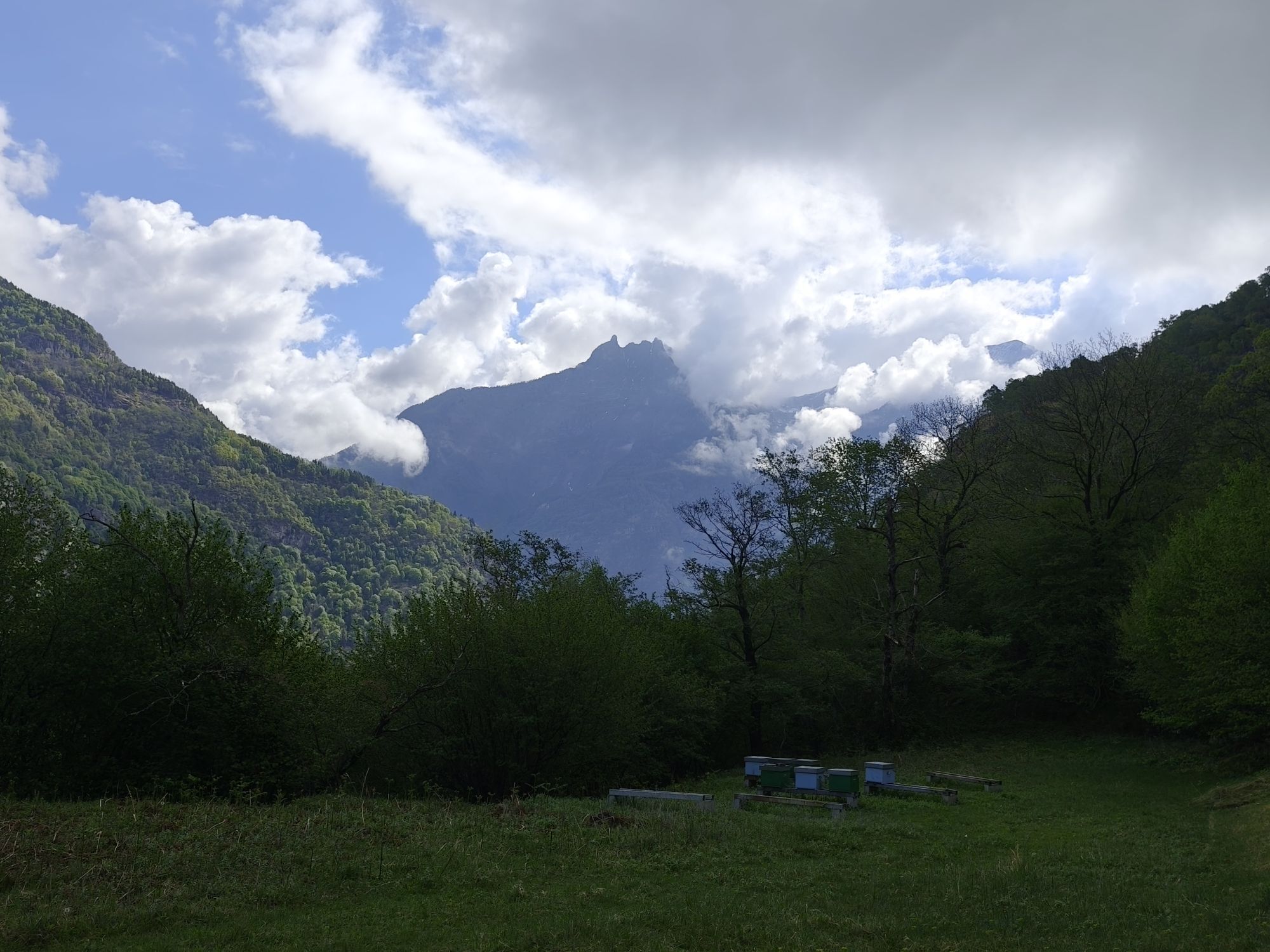
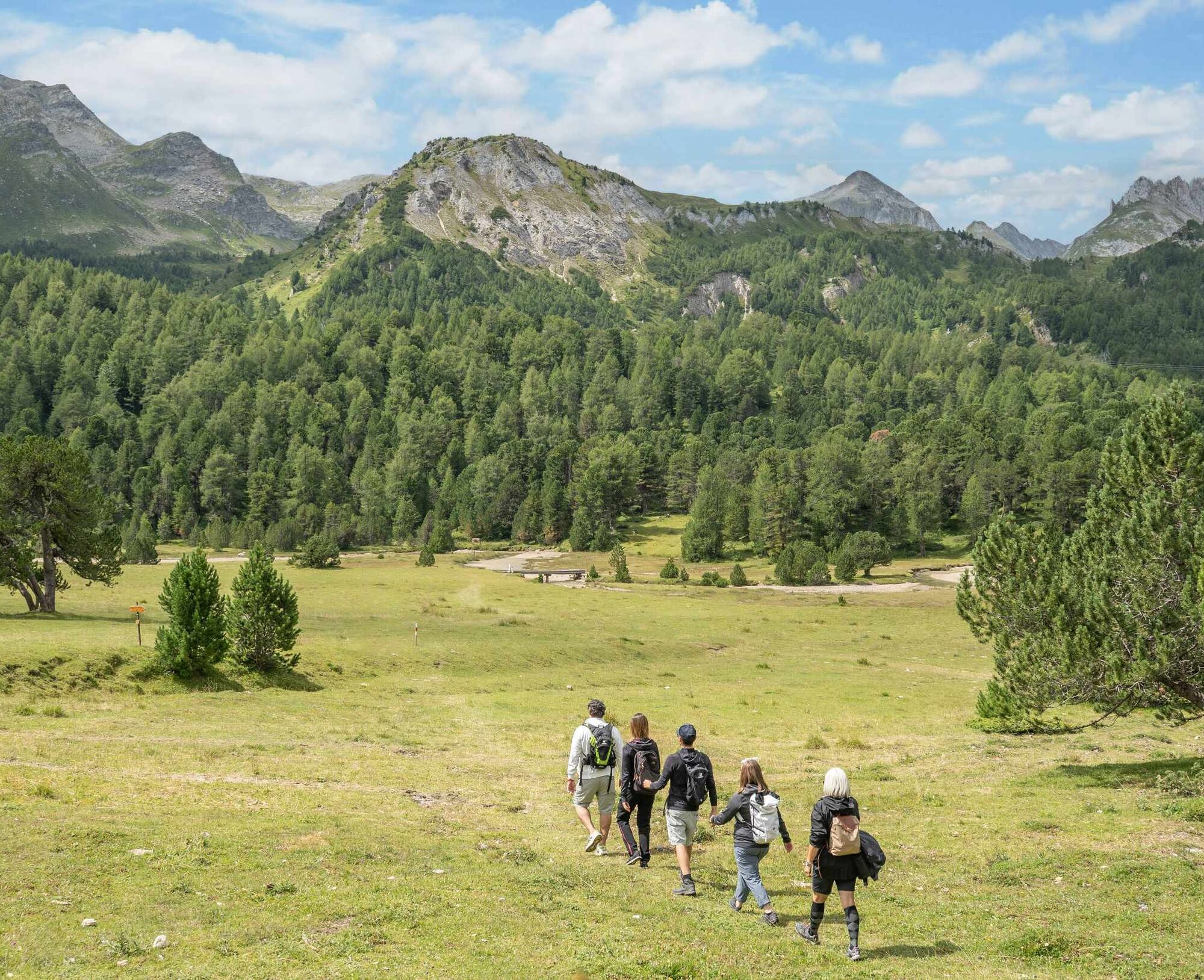
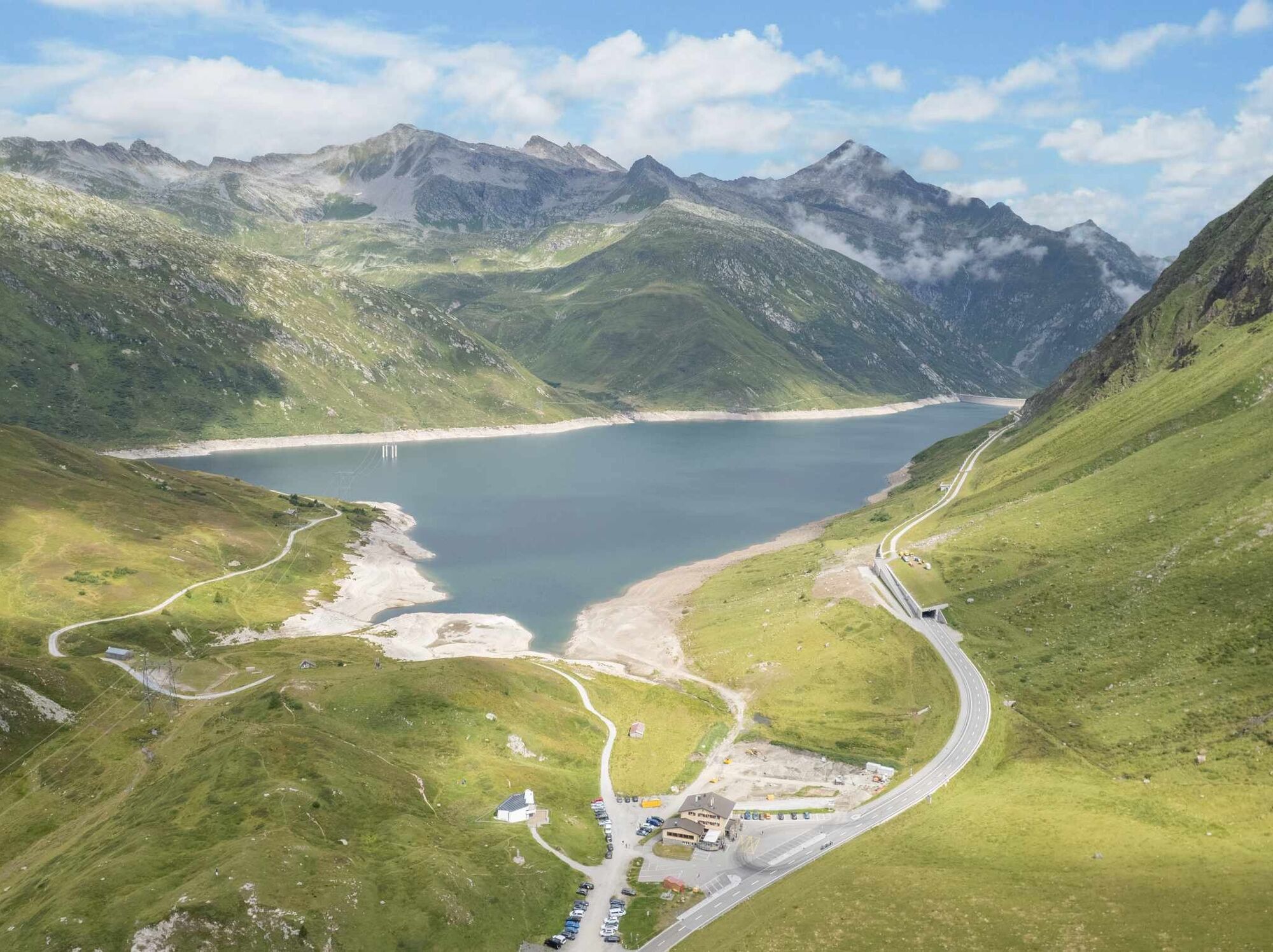
The last stage in the Grisons starts with an ascent to Mumpé Medel and then continues on to Acla, Platta and Sogn Gions. Shortly after, the Santa Maria Dam appears on the horizon, but there is still a long way to go before reaching its base. After completing the last climb, the new Ospizio Santa Maria appears in the distance as does the vista towards the Blenio Valley.
If needed, along the entire route it is possible to reach the next intermediate destination using public transport.
Stage 2: Lukmanier Pass - Olivone
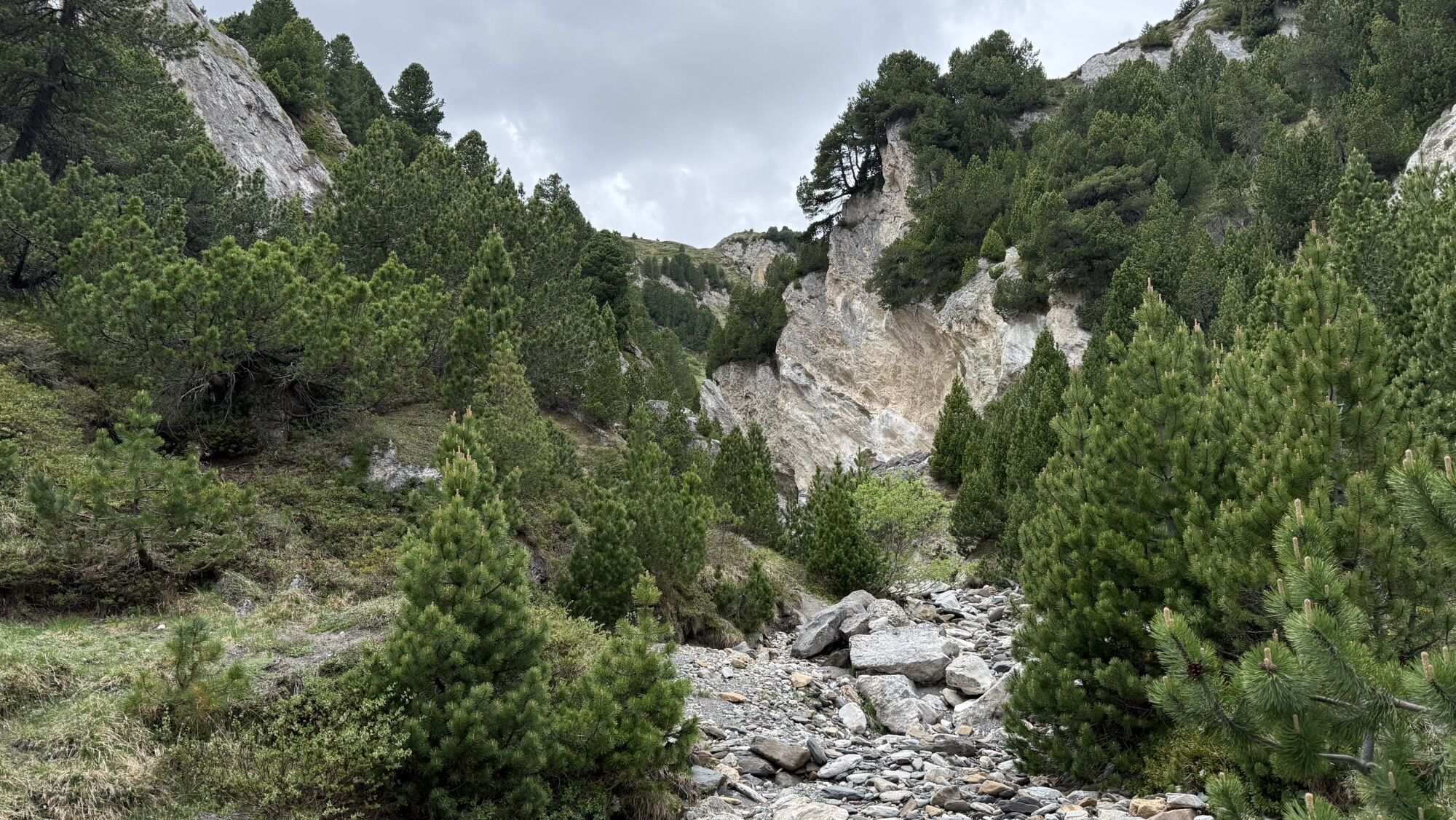
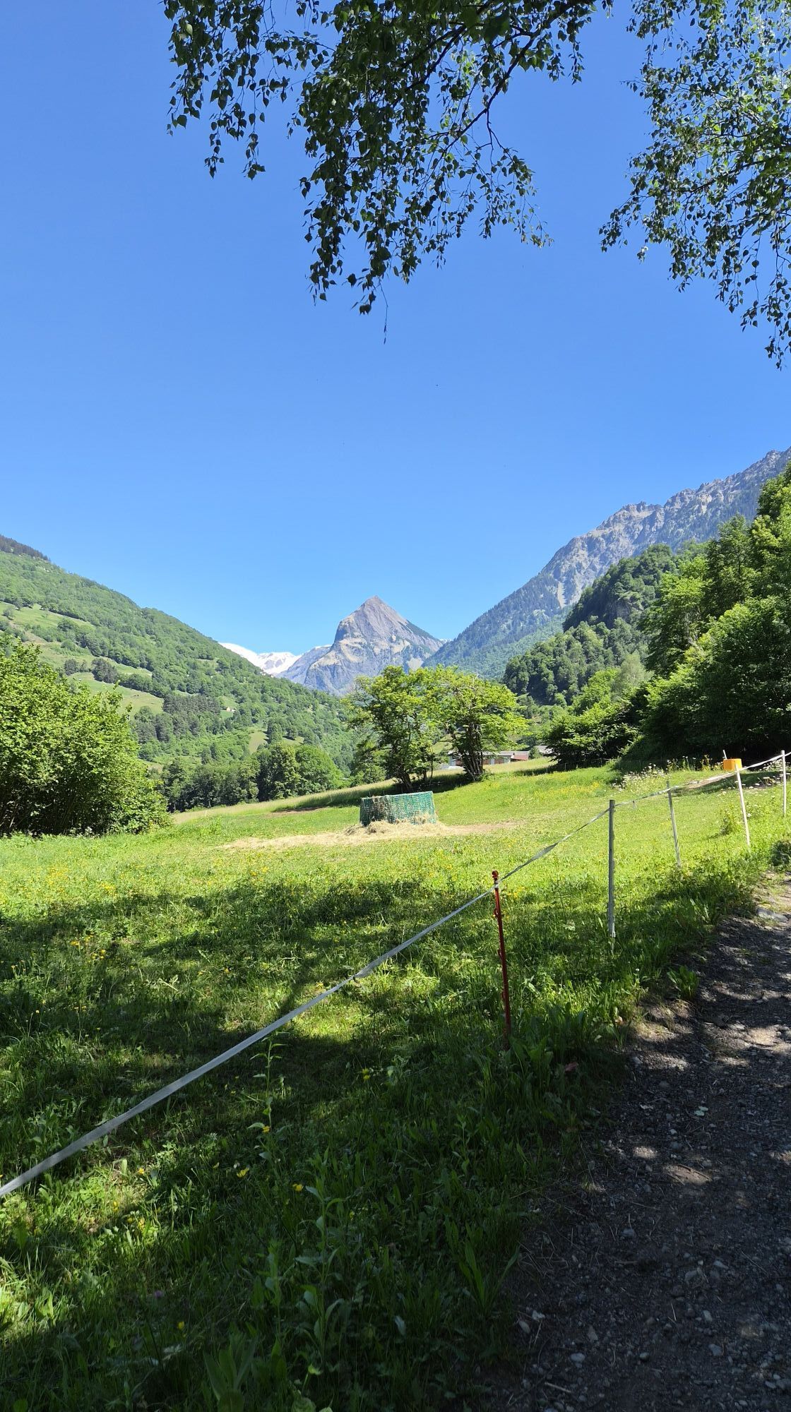
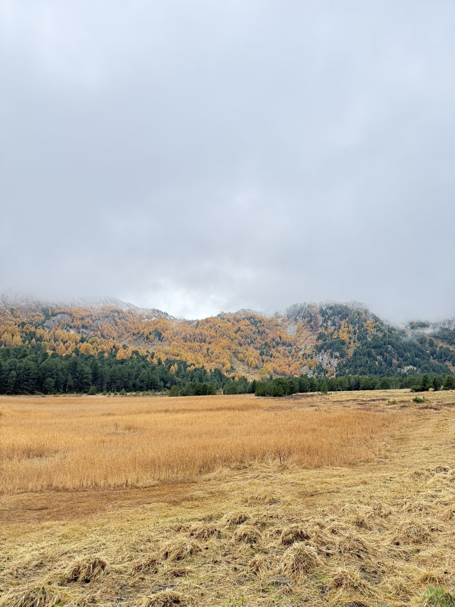
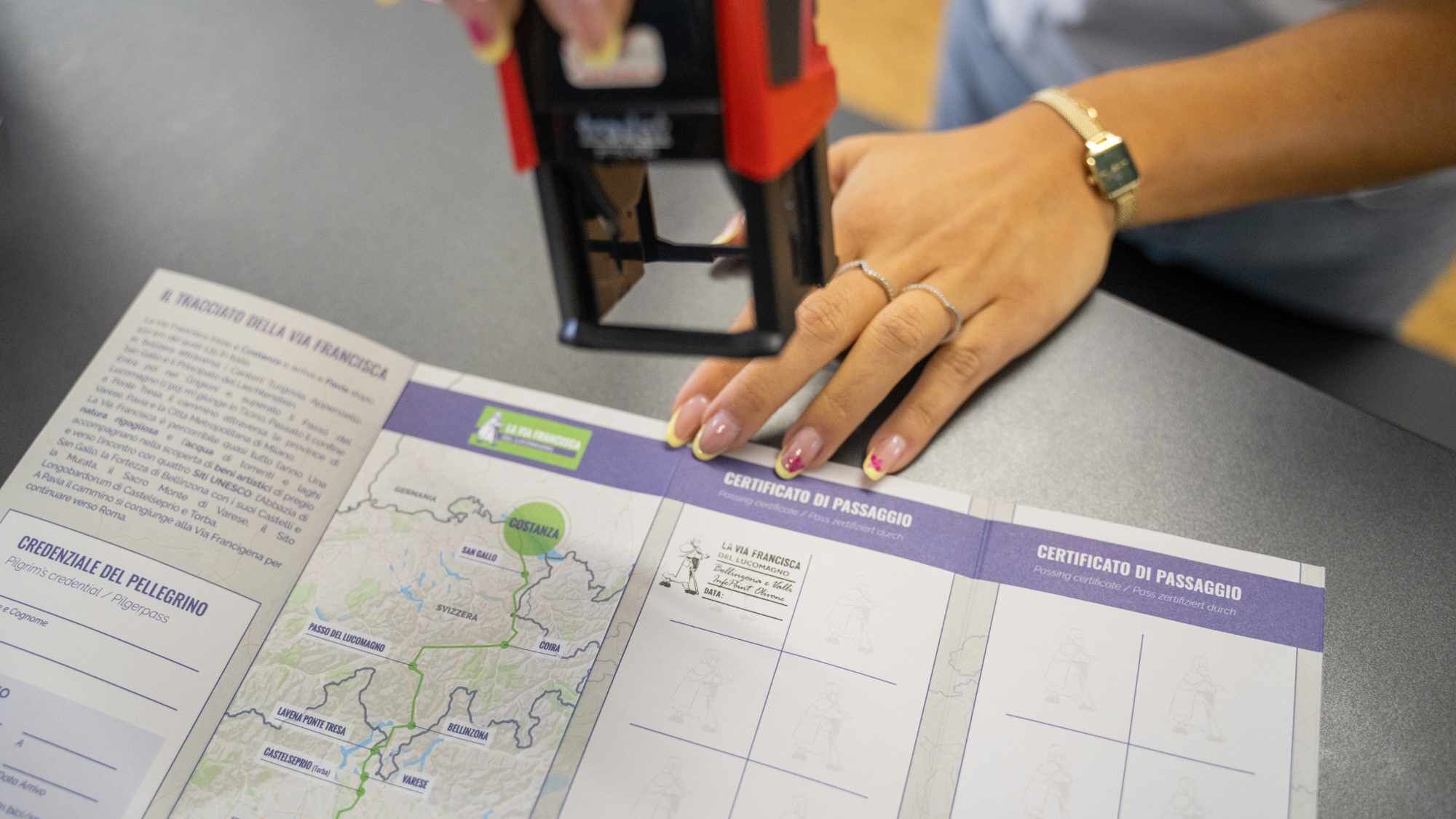
After a stop at the Ospizio Santa Maria, the route towards Olivone is made up of long, flat stretches interrupted by a few descents. From here on, the Via Francisca del Lucomagno is signposted as a thematic trail (white arrows with an image of a pilgrim).
After the first descent, the source of the Brenno River is located near Alpe Pertusio. Then continue towards Casaccia (location of an ancient hospice) and the Centro Pro Natura in Acquacalda. Immediately afterwards, the climb leads to Pian Segno at the end of which, having passed the cantonal road, descends towards Campra and its Alpine Lodge and Spa. Then continue towards the Ospizio di Camperio, from where the descent towards Olivone begins. At the edge of the village sits the Oratorio di Scona, dedicated to Saint Columbanus. Conclude the hike with a visit to Cà da Rivöi, a museum attesting to the culture and traditions of Olivone and the upper Blenio Valley.
Stage 3: Olivone - Biasca
The stage to Biasca is challenging due to its length (approx. 30 km). An intermediate stop in Acquarossa is possible, and there are Autolinee Bleniesi bus stops along the way (or just a short distance away).
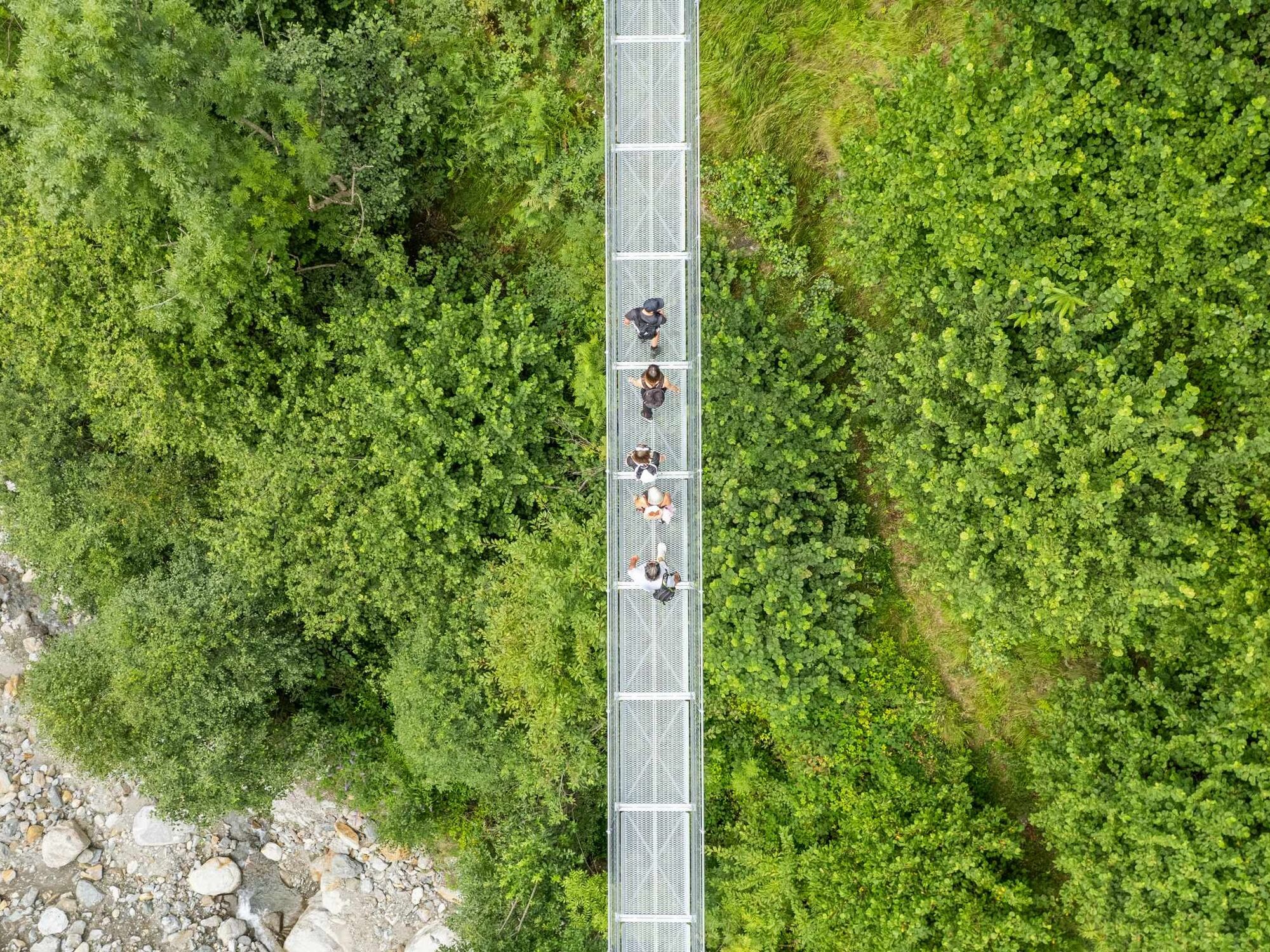
After Cà da Rivöi, the route passes the hamlets of Solario and Sallo, the Tibetan bridge over the Riasc and the hamlet of Pinaderio. It then descends towards Ponto Aquilesco and Aquila before climbing again towards the former Cima Norma factory in Dangio and the ruins of Castel Curtero above Torre. The route then continues to Grumo to pass the native land of Maestro Martino de Rossi and then heads towards Lottigna and the Palazzo dei Landfogti, home of the Blenio Valley Museum.
After the descent to Acquarossa, the route continues along the right bank of the Brenno River where the Oratorio di San Remigio, the remains of the Monastero di Santa Maria (also an ancient hospice) and the ruins of the Castello di Serravalle stand before the last stretch towards the Buzza di Biasca, this stage’s end point.
Stage 4: Biasca - Bellinzona
Before leaving Biasca behind, be sure to visit the church dedicated to Saints Peter and Paul, a masterpiece of 12th century Romanesque architecture and a historical monument of national importance. Following the stations of the cross, the Santa Petronilla waterfall is visible from above.
From the Biasca FFS railway station, after crossing the plain, the Via Francisca del Lucomagno follows along the right bank of the Ticino River crossing the riverside woodland to Lodrino, where the "tobleroni" were laid as part of the Via Lona, a fortification built between Lodrino and Osogna during World War II to defend access to the St. Gotthard.
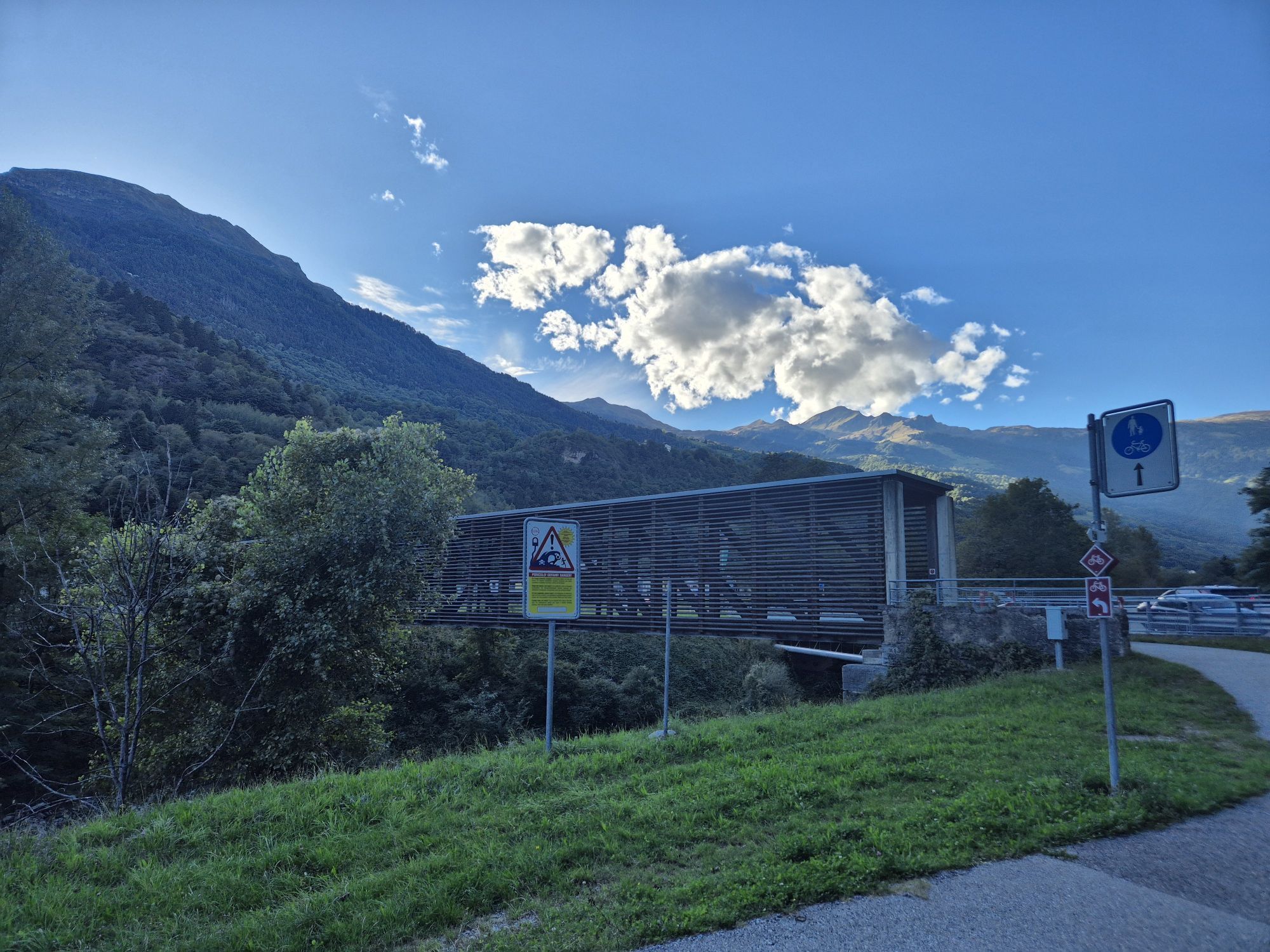
Then continue along the left bank of the Ticino River and soon note on the horizon the castles of Castelgrande, Montebello and Sasso Corbaro which together form the Fortress of Bellinzona.
After Arbedo, continue along the Ticino River floodplain to the municipal swimming pool, then turn to enter the city.
Stage 5: Bellinzona - Monte Ceneri
From the Bellinzona FFS railway station, the Via Francisca del Lucomagno follows the Antica Via del Ceneri built by the municipalities of Bellinzona, S. Antonino and Cadenazzo to "unite the history, natural environment and culture of their territories".
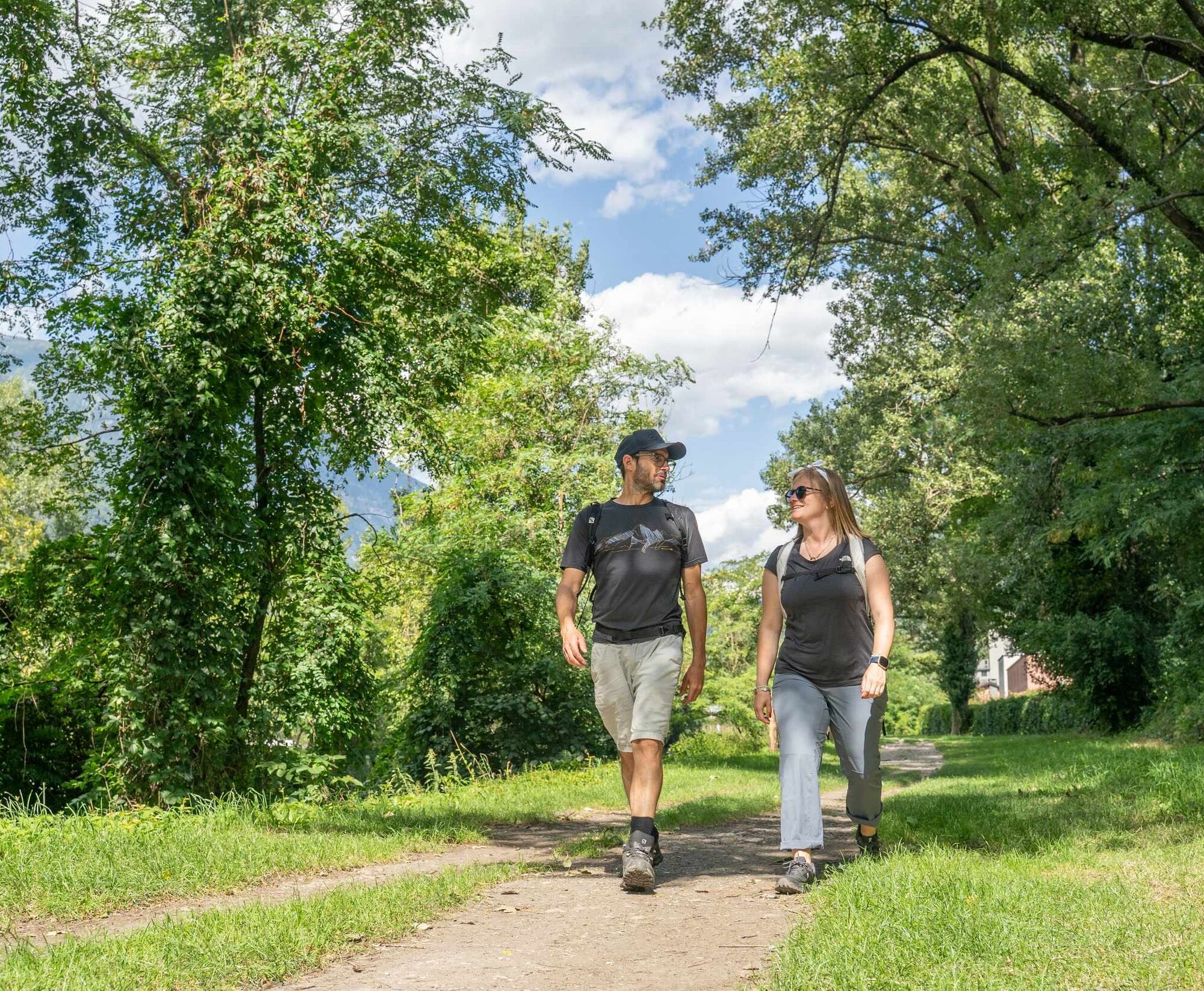
Walk almost exclusively on secondary roads (with little traffic) as far as Cadenazzo: the view spans the Magadino Plain. The last stretch is along wooded hiking trails and through a beautiful chestnut forest.
Several information panels recount the past events of Ticino, of bandits and emigration, of land management practices, the development of communication routes and radio transmissions.
Reach Piazza Ticino, a space created as a meeting point between the Sopra- and Sottoceneri but also to recall the utopia of Stefano Franscini, who wanted to build a city called Concordia on Monte Ceneri, which he hoped would become a meeting place for all of Ticino’s citizens.
Stage 6: Monte Ceneri - Ponte Tresa
From Piazza Ticino, the Via Francisca continues in the direction of Rivera-Soresina passing by the Grotto Ceneri. It is also possible to descend towards the Rivera-Bironico FFS railway station by following the dirt road behind the former Ristorante delle Alpi. Once in Soresina, continue through the woods towards Sorencino, Vira and Mezzovico and then Sigirino and the village of Osignano. After ascending over Monte Barro, arrive in Torricella. Passing behind the Torricella Castle, the route heads towards the village of Manno and then continues above with long stretches in the woods running parallel to the cantonal road.
Once in Bioggio, cross the Vedeggio plain and then walk along the river and the banks of the Ceresio to Magliaso. From Magliasina it is advisable to ascend towards Pura to reach Ponte Tresa "from above". However, it is also possible to reach Ponte Tresa by a "lower route" that runs along the cantonal road (often heavily trafficked).
Stage 7: From Ponte Tresa to Pavia
After crossing the Tresa River and customs, immediately notice the pilgrim trail signs indicating the Via Francisca del Lucomagno.
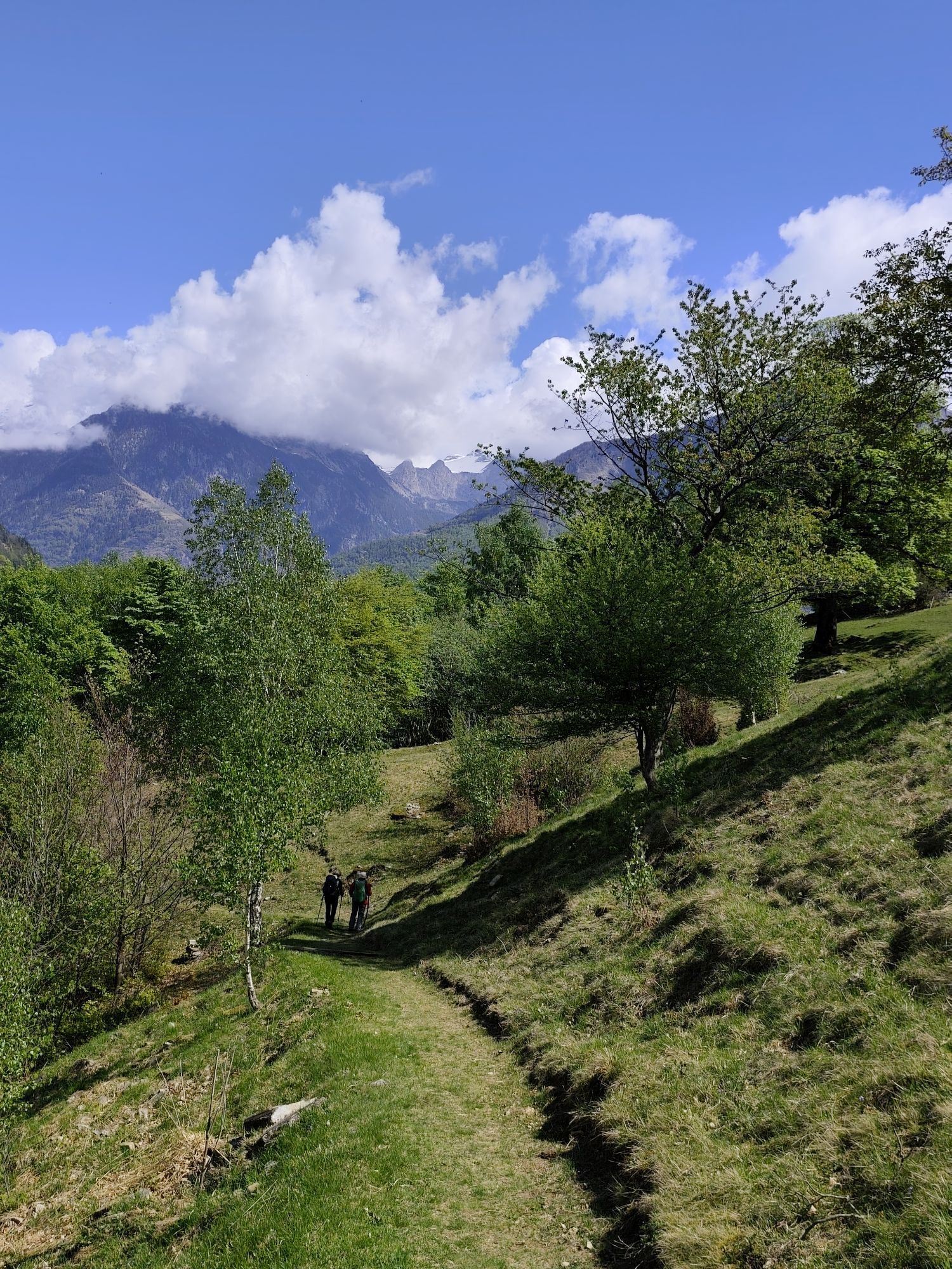
After skirting the lake, the route continues towards Marchirolo and Val Ganna before reaching Varese. After a visit to the Sacro Monte, continue towards Castiglione Olona and then Castellanza and Castelletto di Cuggiogno.
Having now reached the Po Valley, head in the direction of Abbiategrasso to walk alongside the Naviglio, and then leave it behind to continue towards Bereguardo. The last stage leads to Pavia where, to receive the Testimonium certificate, present the Credential or “pilgrim passport” at the sacristy of the Basilica di San Pietro in Ciel d'Oro (which houses the tomb of Saint Augustine).
All information on the Via Francisca in Italy is available on the La Via Francisca del Lucomagno website.
In Pavia, the Via Francisca del Lucomagno meets the Via Francigena, which leads to Rome. To find out more: Il percorso - Via Francigena (viefrancigene.org).
Popularne wycieczki w okolicy
- 3,3
Entlang der Verzasca von Sonogno via Brione nach Lavertezzo
światłoWędrówka 14,5 km - 5,0
Lavertezzo-Brione Verzasca
światłoWędrówka 6,50 km - 4,5
Revöira Ethnographic Trail (SwitzerlandMobile 629)
średniWędrówka 7,97 km - 5,0
Valle Verzasca Trail
średniTrailrunning 24,1 km - 4,5
Brione Verzasca-Sonogno
światłoWędrówka 8,28 km Lago di Canée
Wędrówka 14,2 kmFrasco-Efra Hut-Frasco
ciężkidługodystansowy szlak pieszy 17,6 kmAlta Verzasca Bike (SwitzerlandMobility 399)
średniMountainbike 8,92 km- 5,0
Sonogno-Corte-Sonogno
średniWędrówka 5,64 km Via Alta della Verzasca
ciężkiWędrówka 53,1 km
Wędrówki i tropienie


Nie przegap ofert i inspiracji na następne wakacje
Twój adres e-mail została dodana do listy mailingowej.