







Brione Verzasca-Sonogno
Poziom trudności: T1
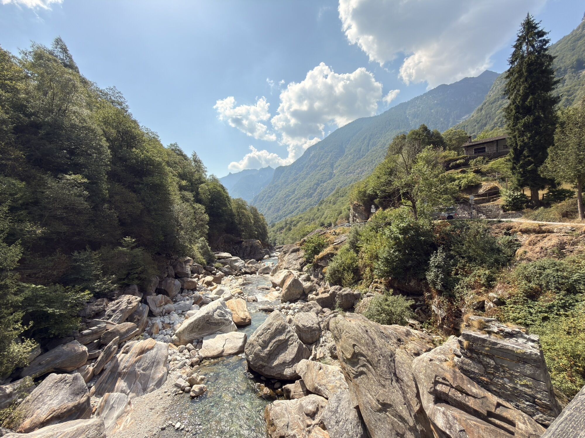
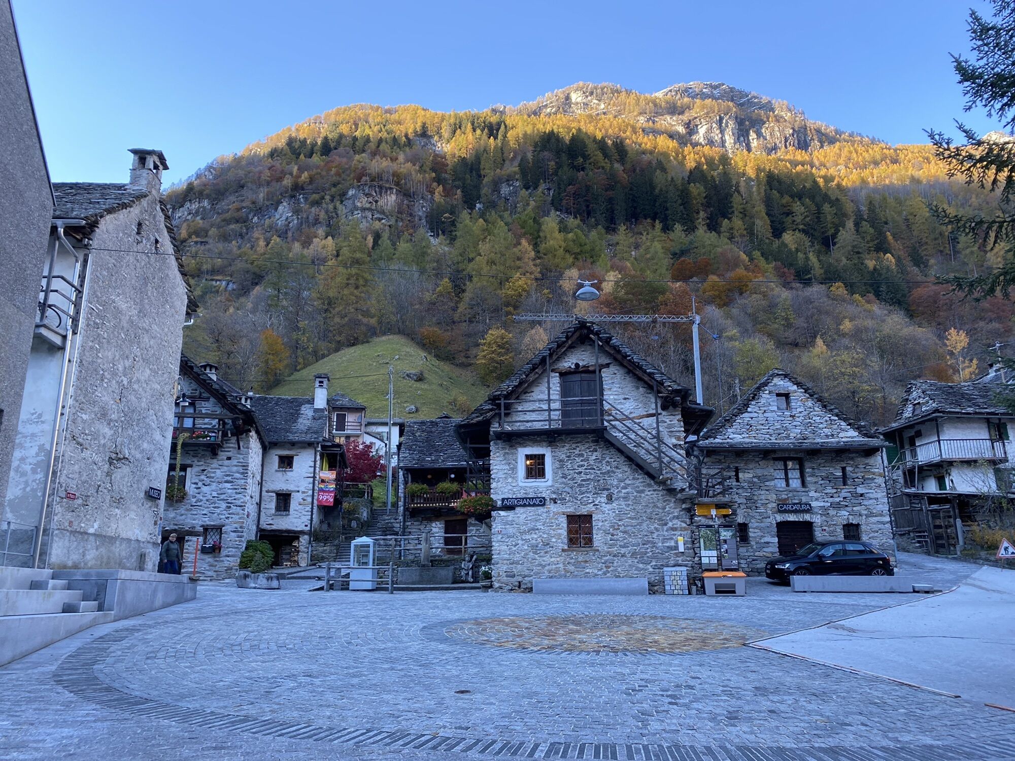
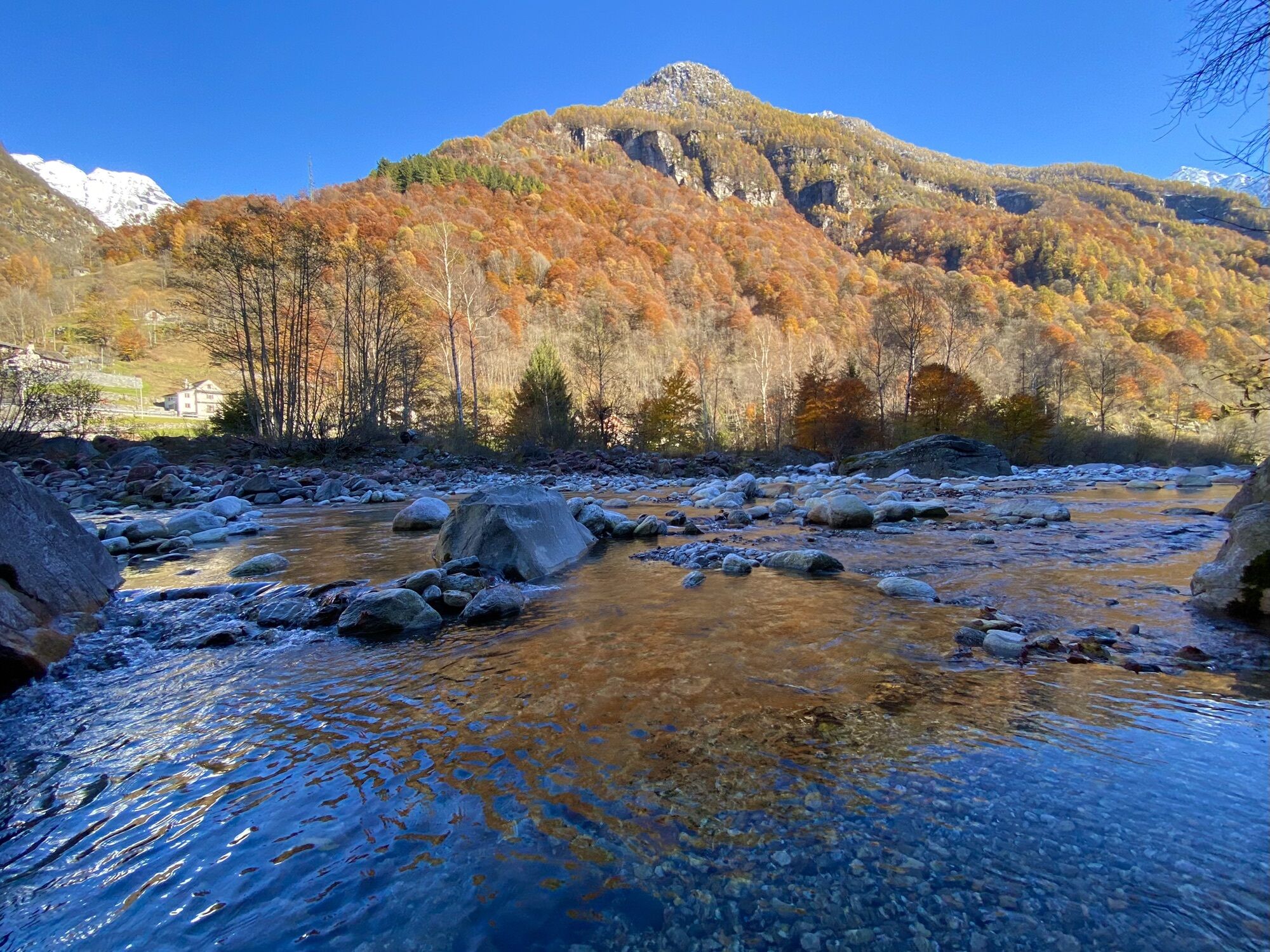
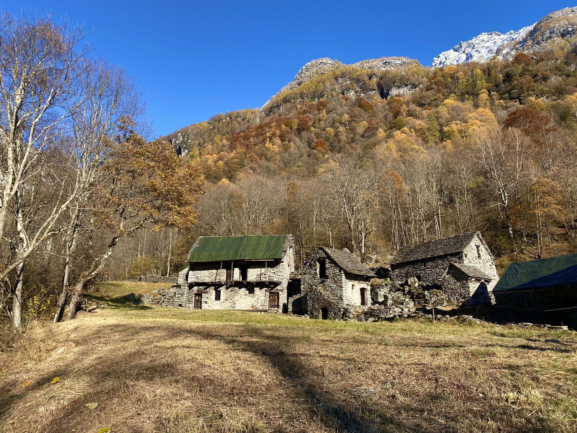
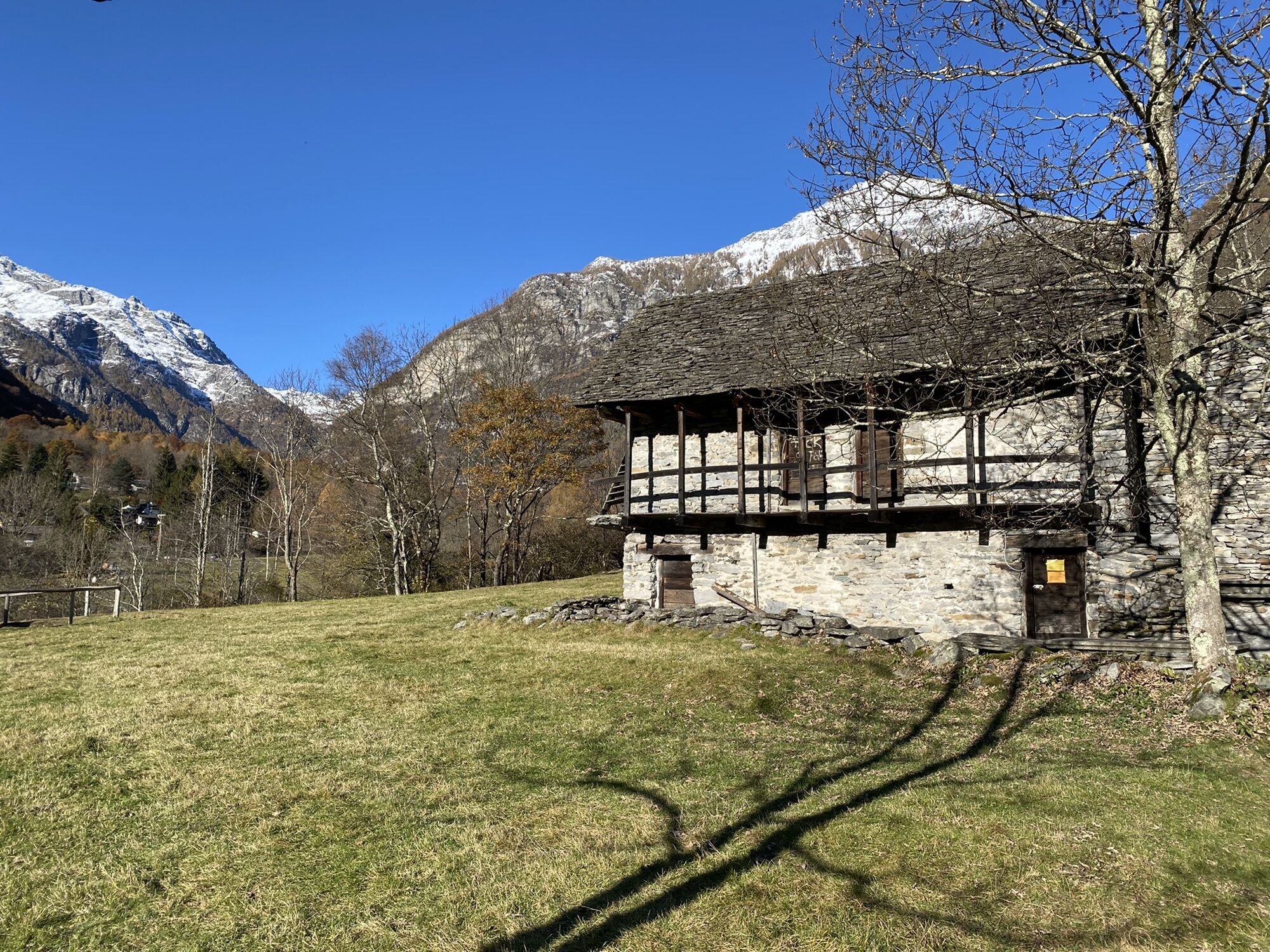
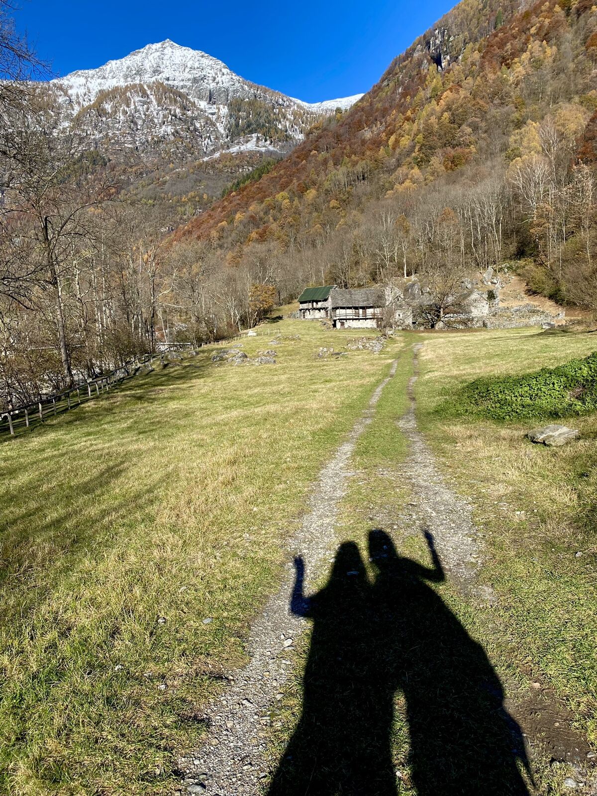
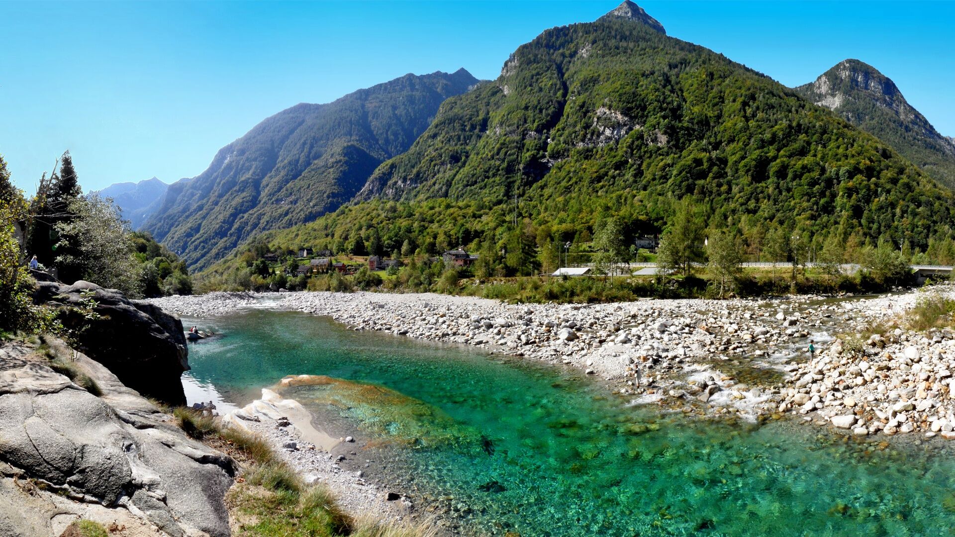
This easy hike (marked in yellow) starts at Brione Verzasca, which, due to its impressive granite blocks and bathing spots, is a paradise for bouldering and sun lovers. Shortly after the start between...
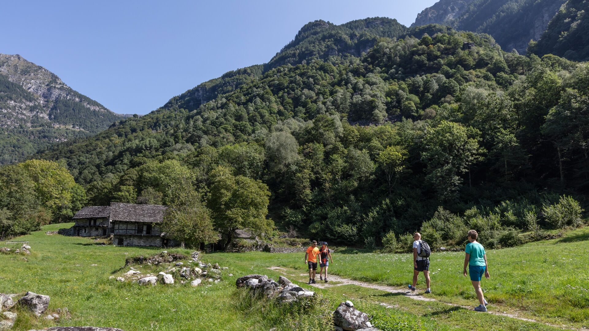
This easy hike (marked in yellow) starts at Brione Verzasca, which, due to its impressive granite blocks and bathing spots, is a paradise for bouldering and sun lovers. Shortly after the start between Brione and Alnasca, there is a nice chalet ideal for a picnic. Just before Gerra, there is a beautiful waterfall with another chalet for picnics.
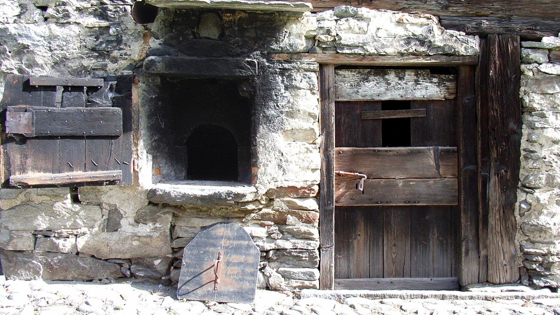
Along the mostly flat path, there are many things to discover: Verzasca black goats, stones polished by the river, and typical houses. In Gerra there is also a playground and the Legends Trail. In Frasco, slightly above the path, there is a mill and a small hydropower plant.
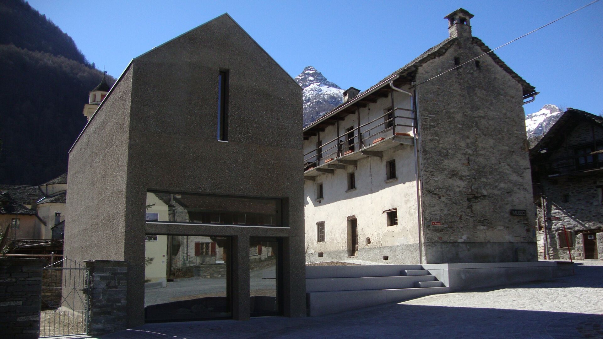
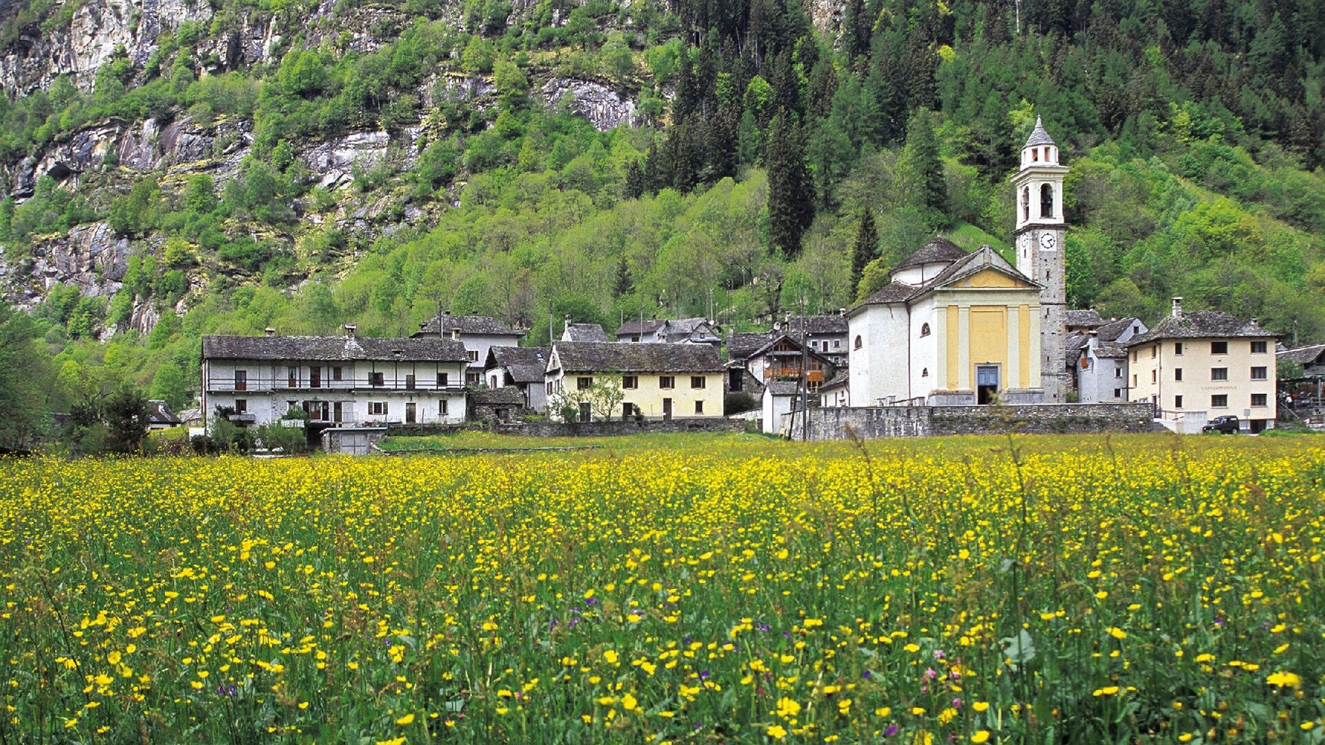
The destination of the hike is Sonogno, a real gem. It is definitely worth visiting the Museum or the Wool House. The route can be done in both directions. There are restaurants in Brione, Gerra, Frasco, and Sonogno. Return is possible by bus, Locarno-Tenero-Sonogno line.
Tip: those doing the route from Brione Verzasca towards Lavertezzo can try the "Boccia al bosco", a wooden bocce course with ten stations.


Brione Verzasca, Piee-Alnasca-Permaioo-Lorentino-Frasco-Sonogno
Tak
Hiking backpack (approx. 20 liters) with rain cover
Sturdy and comfortable shoes
Clothing suitable for the weather conditions and durable, layering principle and possibly trekking poles
Sun and rain protection
Provisions and drinking water
First aid kit
Pocket knife
Mobile phone, possibly headlamp
Map materials
Swiss Trails - Safe hikes
T1
Suisse Rando - Marcher en toute sécurité



Popularne wycieczki w okolicy
-
4,6
Verzasca Dam-Mergoscia-Corippo-Lavertezzo
średniWędrówka 13,0 km -
4,8
Valle del Salto round route (SvizzeraMobile 611)
średniWędrówka 8,84 km -
3,3
Entlang der Verzasca von Sonogno via Brione nach Lavertezzo
światłoWędrówka 14,5 km -
5,0
Lavertezzo-Brione Verzasca
światłoWędrówka 6,50 km -
4,5
Revöira Ethnographic Trail (SwitzerlandMobility 629)
średniWędrówka 7,97 km -
4,0
Cardada Bike (SwitzerlandMobility 397)
ciężkiMountainbike 30,6 km -
5,0
Verzasca Dam-Monti di Motti-Verzasca Dam
średniWędrówka 9,31 km -
Cardada-Cimetta-Alpe Vegnasca-Cardada
średniWędrówka 6,86 km -
Maggia-Someo-Maggia
światłoWędrówka 15,5 km -
Via Alta Vallemaggia - 1st stage: Cimetta-Capanna Alpe Nimi
ciężkiWędrówka 10,2 km

Wędrówki i tropienie


Nie przegap ofert i inspiracji na następne wakacje
Twój adres e-mail została dodana do listy mailingowej.





