





Herrainpäivien lankonki in Yyteri (accessible)

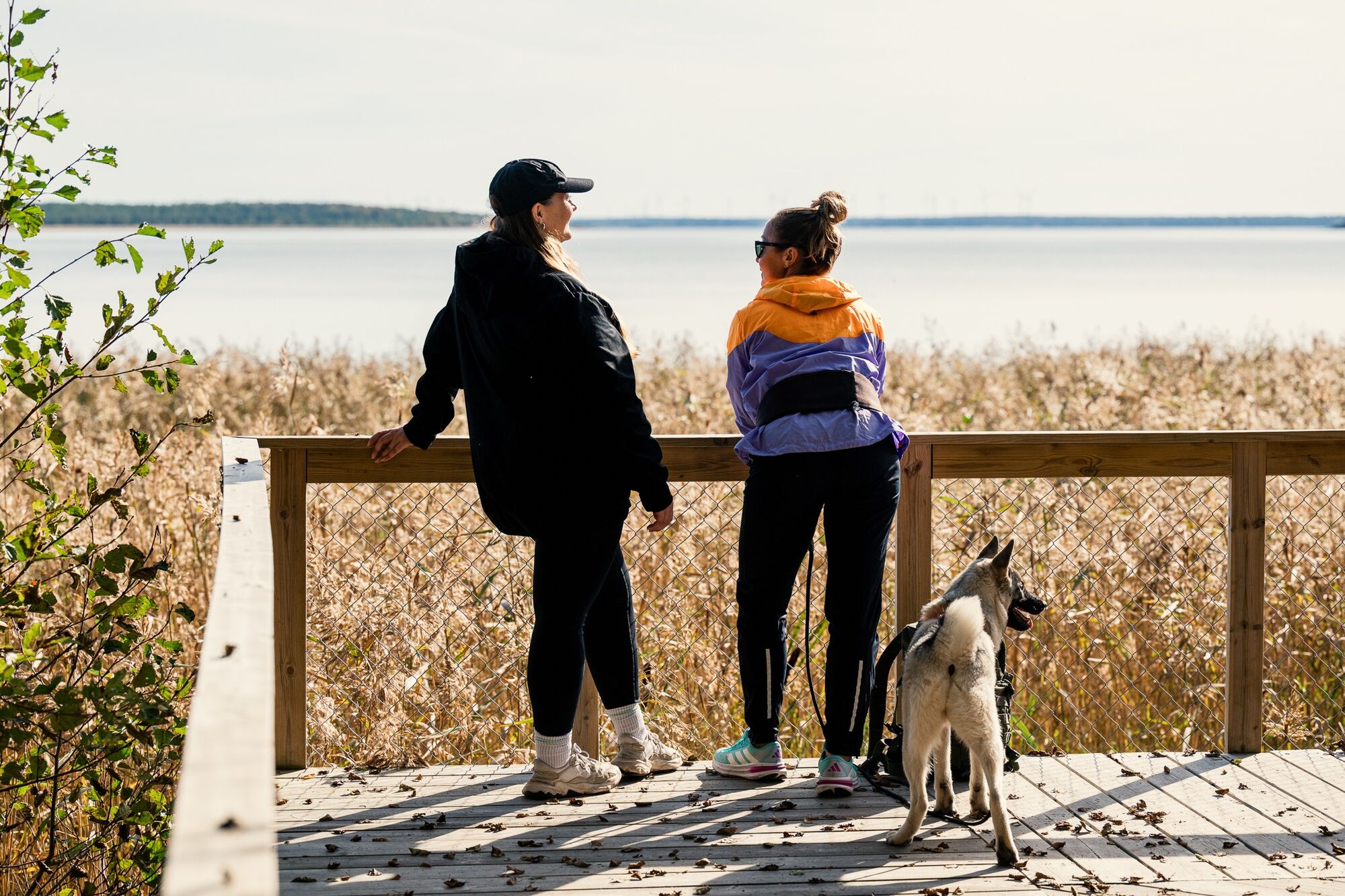
Herrainpäivien lankonki provides a great opportunity to enjoy the views offered by Yyteri and is also a wonderful place for photography. Lankonki is a short accessible route, the starting point of which...
Psst! Who is that winged one chirping here? The route has marked bird sound recording points, so we recommend downloading the Spring Migration Birds app on your phone. By listening and learning, you also contribute important citizen science! There are several recording points, and each recording lasts 5 minutes. You should allocate more time than usual for the trip if you want to make multiple recordings.


Accessibility:
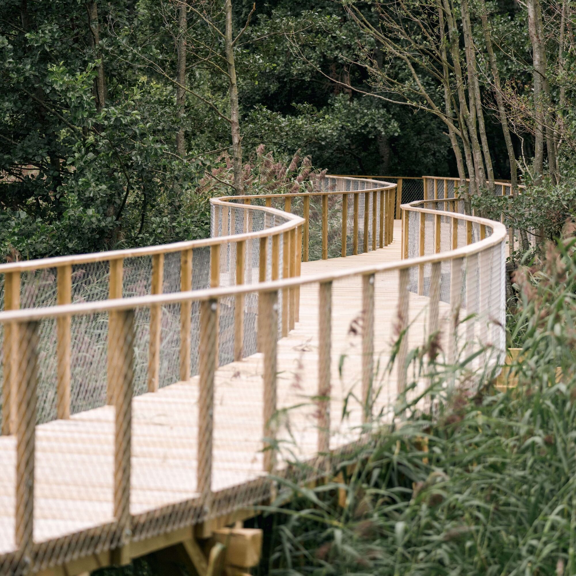
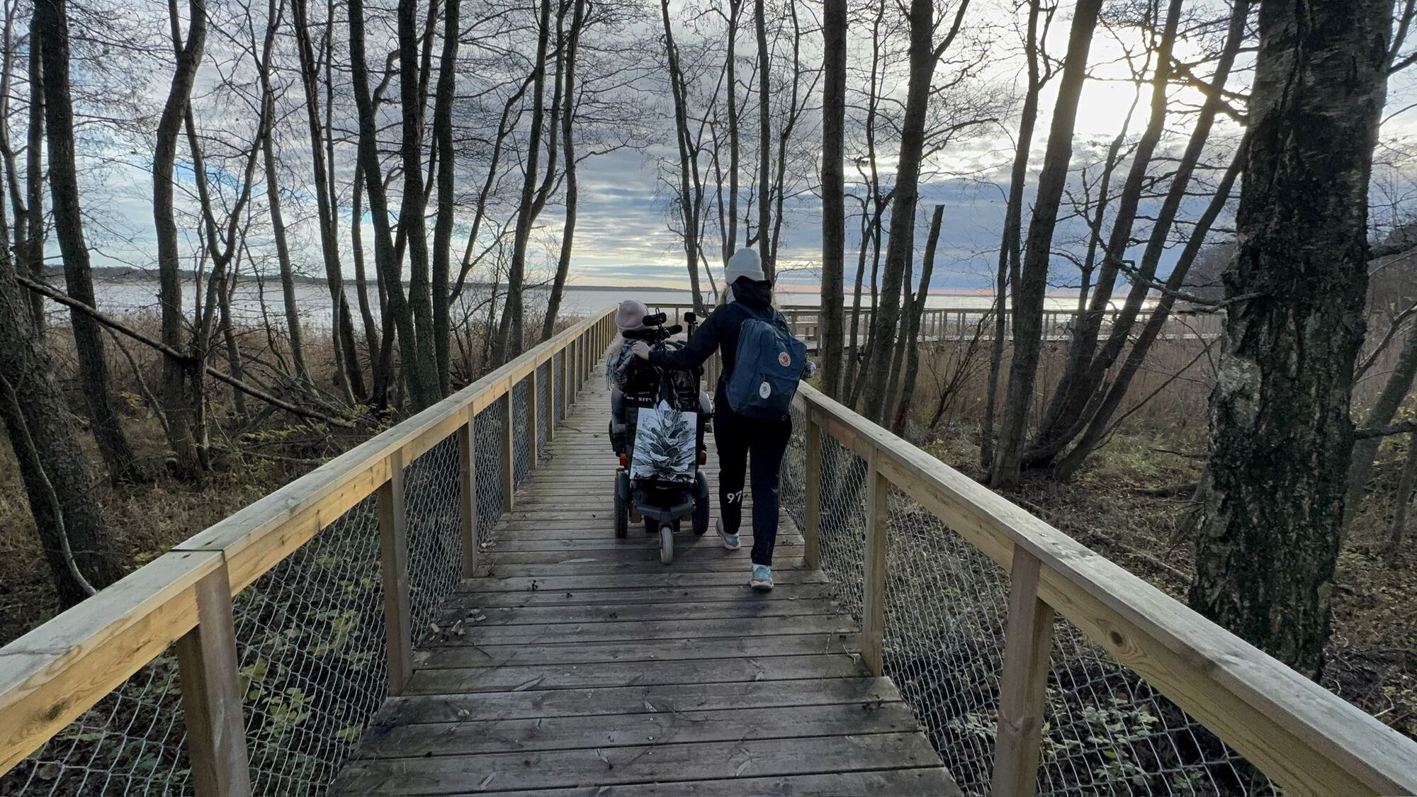
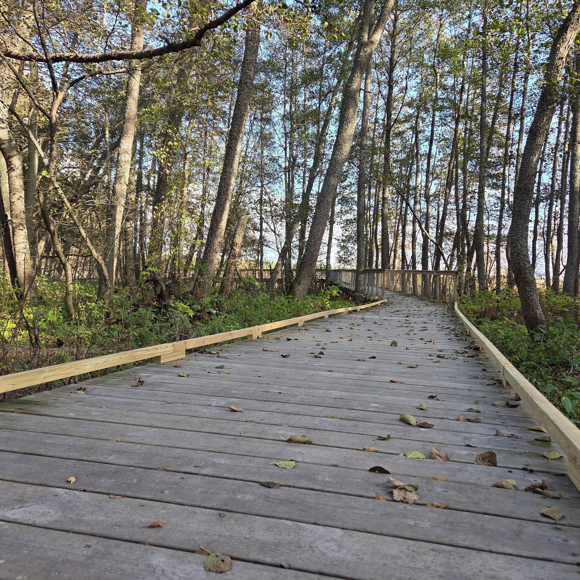
From the parking lot to the boardwalk, there is a flat gravel path, partly with fine sand. The sand may sink wheelchair tires. the boardwalk is a wooden bridge structure with planks laid crosswise.
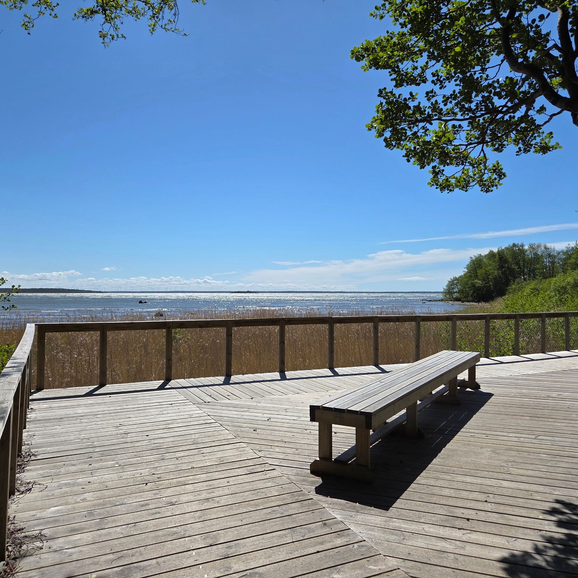
The beginning section (approx. 10 m) of the route has a protective edge and one guardrail (path width 180 cm) and at the end section (approx. 90 m) to the viewing platform, there are guardrails on both sides (path width 156-165 cm), height 106 cm. The viewing platform is also protected by rails.
The section narrower than 180 cm has no passing places. The viewing platform has a bench with a seat height of 50 cm. The bench can be accessed from the front and sides. There is sufficient space on the platform for free turning (≥ 1.5 m x 1.5 m).
The route handrail is continuous past the viewing platform; at the end section, the handrail is missing. A protective edge about 5 cm runs where there is no handrail.
The parking area has space for a few vehicles requiring accessible parking. Accessible parking spaces are marked with signs, but they do not currently meet all the criteria for accessible parking.
There is also an accessible dry toilet at the parking area.
Tak
Tak
Tak
We recommend downloading the 112 Finland app on your phone in case something happens along the route.
At the Yyteri Visitor Centre, you can rent a Hippocampe all-terrain wheelchair during the centre’s opening hours. Read more here: Accessibility in Yyteri - Visit Pori | Tourist informationFollow general safety rules.
There is no winter maintenance on the route.
From Highway 2, turn left in Mäntyluoto onto Karhuluodontie. Along that road, you pass Yyteri Golf, and when the last golf hole stays to the left, immediately after is a left turn with a sign saying Purjelautaranta. At the end of that road is the parking area, next to which the Lankongi begins.
The route is not served by public transport. You can check the nearest bus line at Schedules and routes - Pori Public Transport
At the start of the route is the free parking area of the old surf beach at Kuoppientie 90, 28840 Pori
The route offers a place for photography.
In nature, you are an honored guest. Thank you for following hiking etiquette so that our valuable nature sites are preserved for the future! Read more at Hiking Etiquette - Luontoon.fiPlease also remember that
Cycling is prohibited on this route. Herrainpäivät is a nature reserve. Do not disturb bird nesting or animals.This trail offers a wonderful spot for photography and birdwatching!
Popularne wycieczki w okolicy
-
Santojen lenkki in Yyteri
średniWędrówka 5,47 km -
Karhuluodon kierros in Yyteri (MTB)
światłoMountainbike 10,5 km -
Kallon reitti in Yyteri
światłoWędrówka 4,85 km -
Lietteiden reitti in Yyteri
światłoWędrówka 4,14 km -
Golfpolku in Yyteri (demanding accessible)
światłoWędrówka 2,69 km -
Herrainpäivät nature trail in Yyteri
światłoTrasa tematyczna 1,26 km -
Keisarin kierros in Yyteri
światłoWędrówka 2,68 km -
Accessible route at Langoura in Yyteri
światłoWędrówka 0,13 km -
Munakarin kierros in Yyteri (MTB)
światłoMountainbike 9,70 km -
Reposaari Fortress Park
światłoTrasa tematyczna 0,50 km
Wędrówki i tropienie


Nie przegap ofert i inspiracji na następne wakacje
Twój adres e-mail została dodana do listy mailingowej.





