


Lietteiden reitti in Yyteri
Poziom trudności: T1
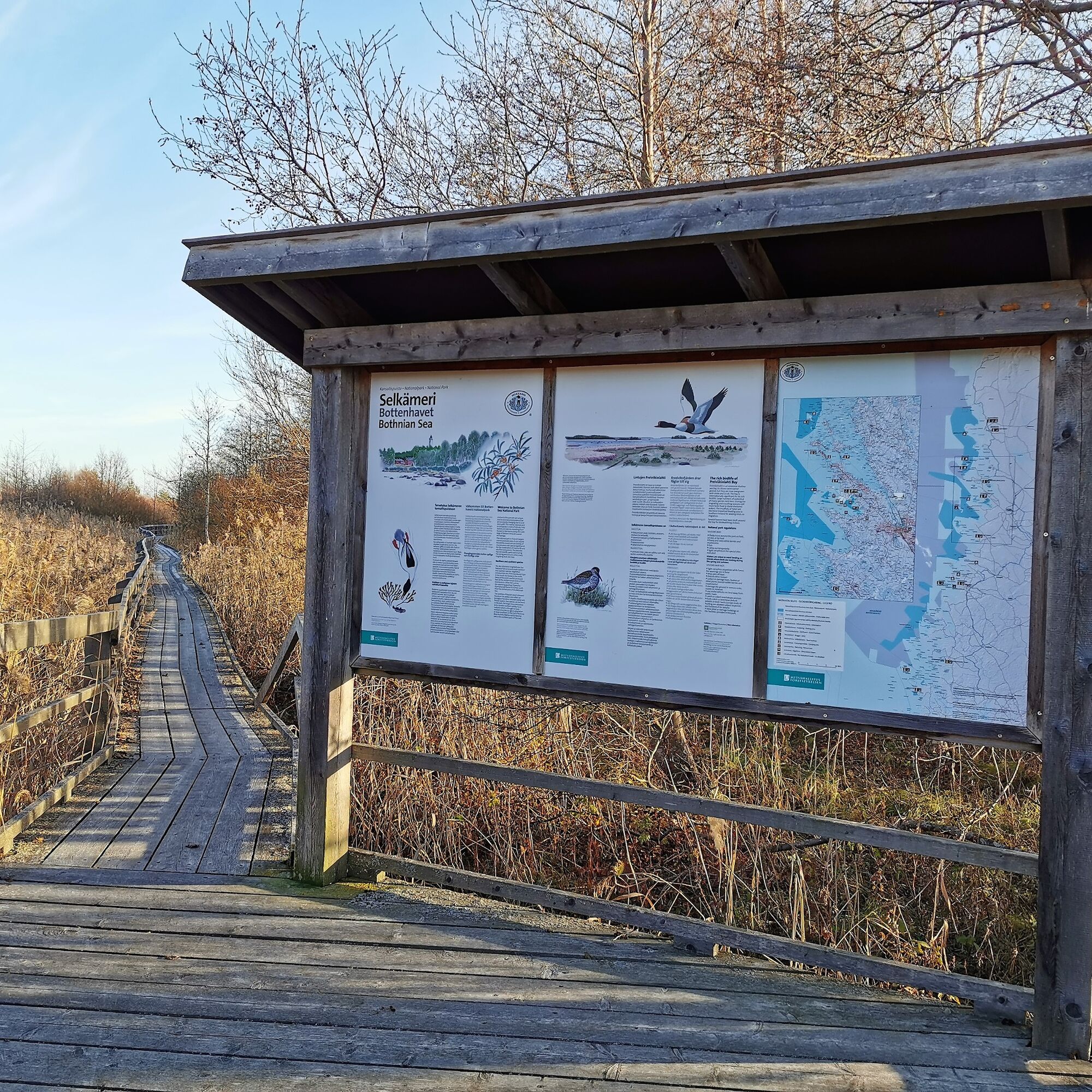
Lietteiden reitti (The mudflat route) introduces you to the finest natural sites of the Yyteri Peninsula and reaches all the way to the boundary of the Bothnian Sea National Park. Enjoy the magical atmosphere...
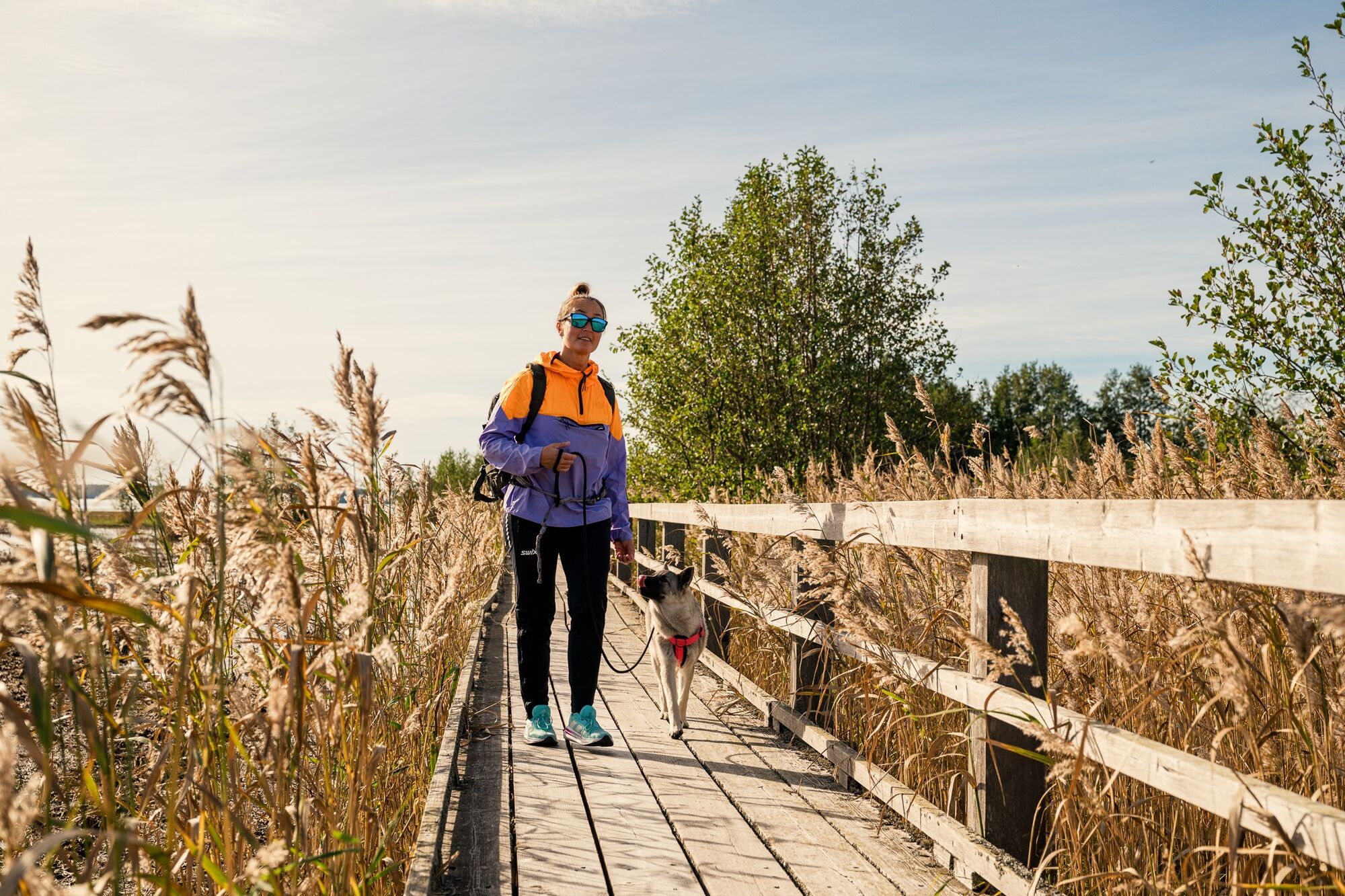
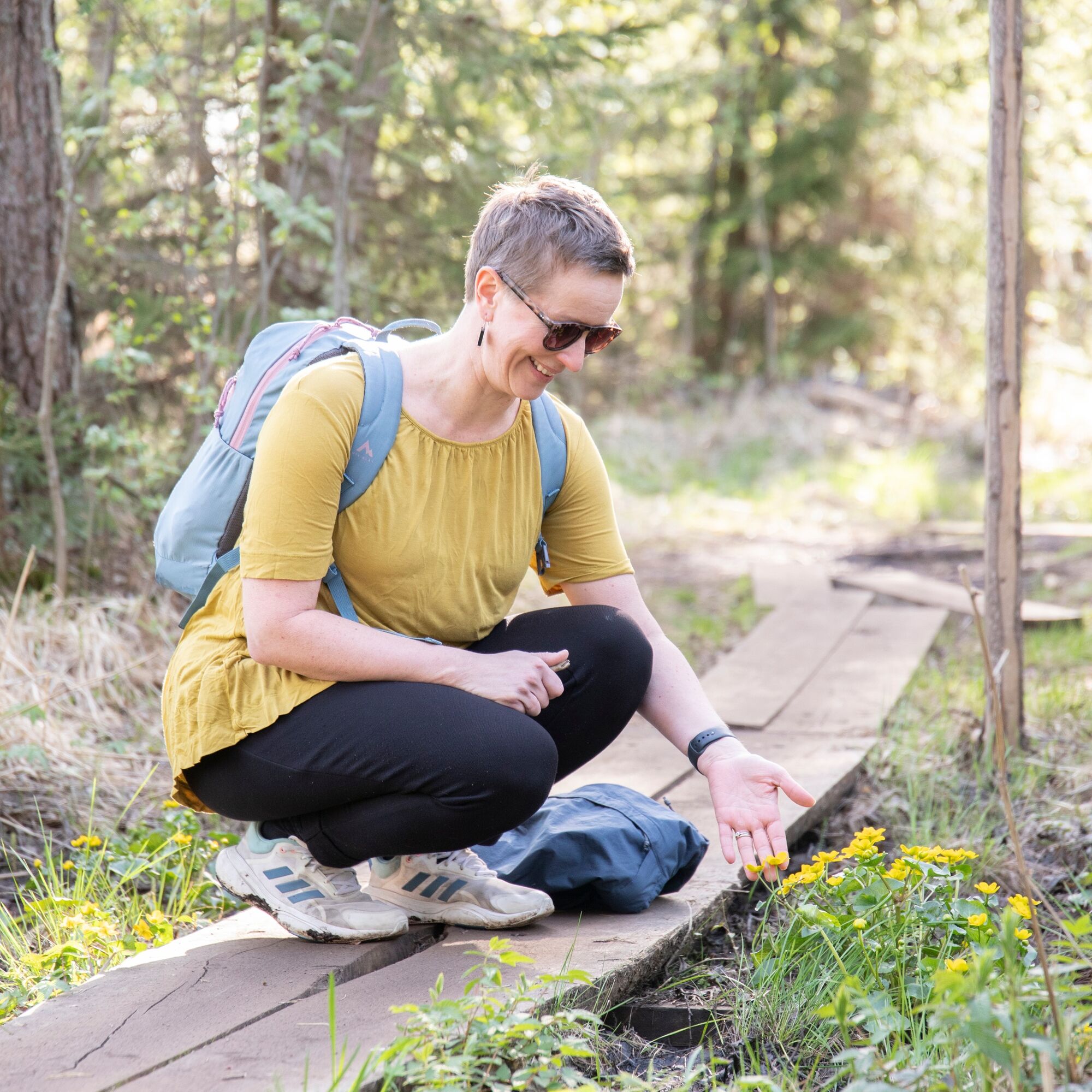
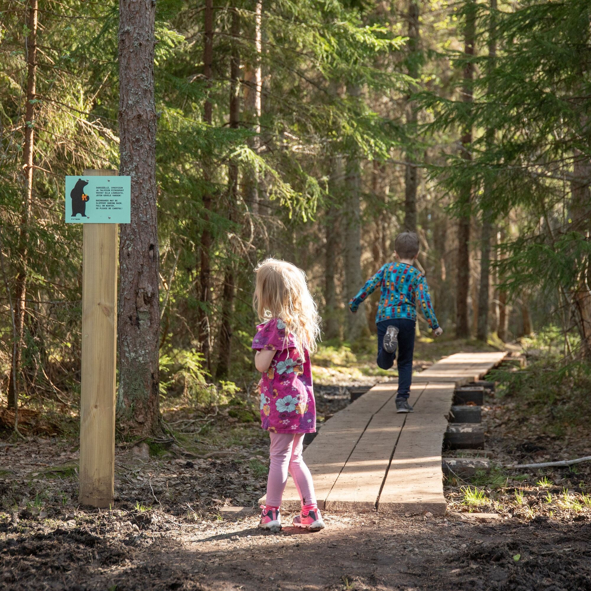
Several nature platforms and boardwalk sections break up the walk on this route. You can walk as far as suits you and return the same way to the starting point or make a longer trip and walk the entire route back and forth.
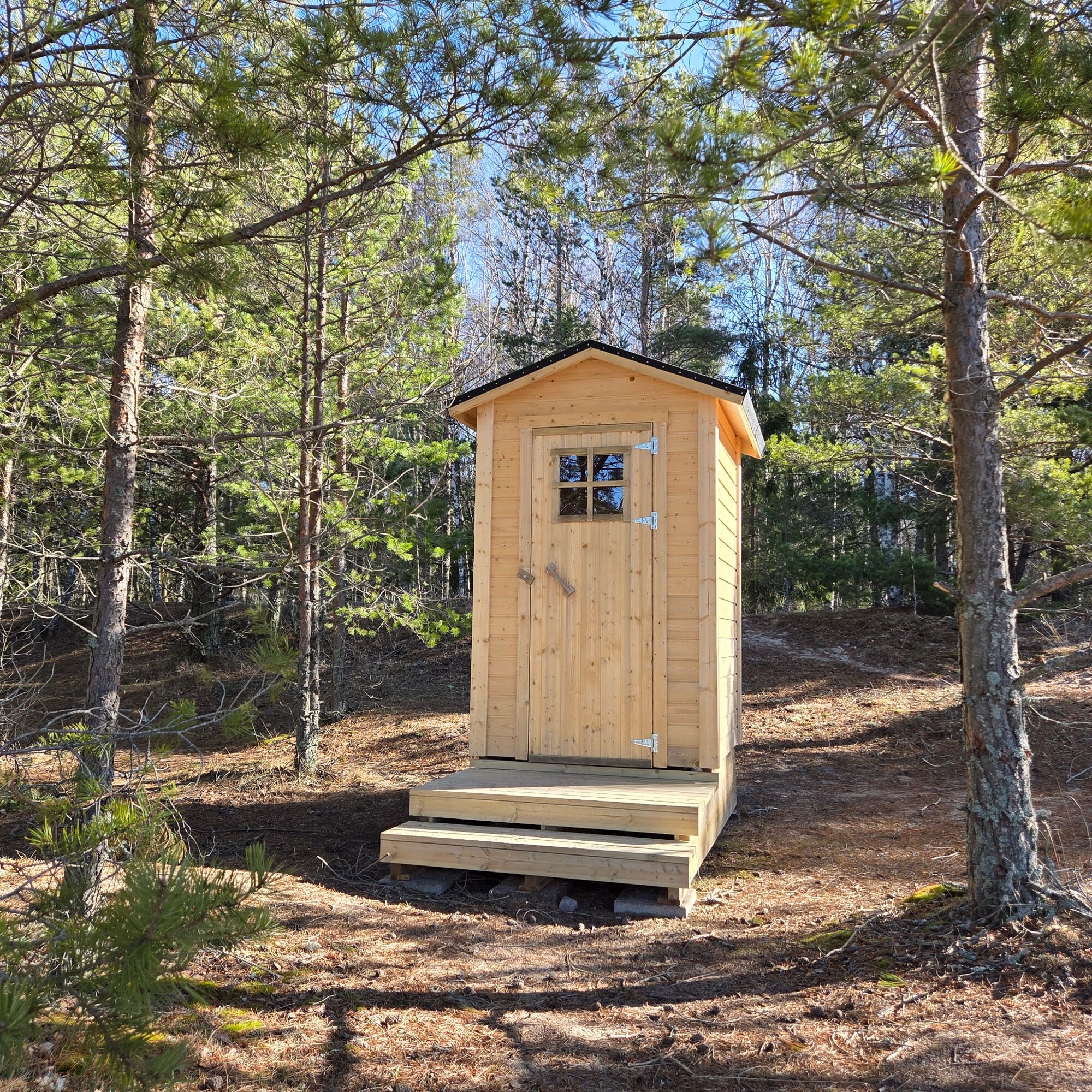
You can enjoy your own picnic on the nature platforms while admiring the views or at the Munakarinsäikän rest stop at the northern end of the route by the campfire and sea views. There is also a dry toilet at the rest area.
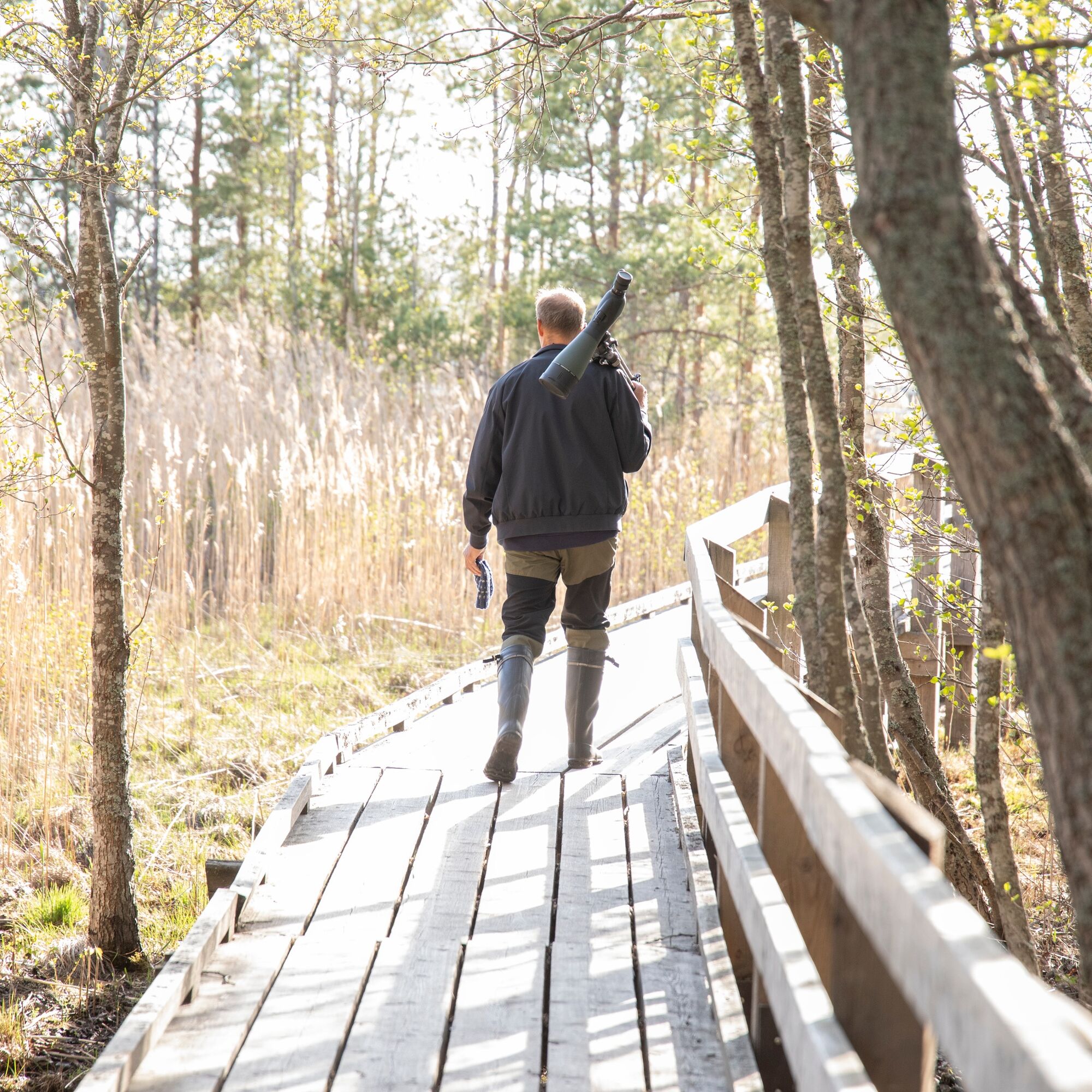
Psst! Who's chirping here? This route has marked bird sound recording spots, so we recommend downloading the Spring Migratory Birds app to your phone. By listening and learning, you also contribute important citizen science! There are several recording points, and one recording lasts 5 minutes. Plan for a longer trip than usual if you want to make multiple recordings.

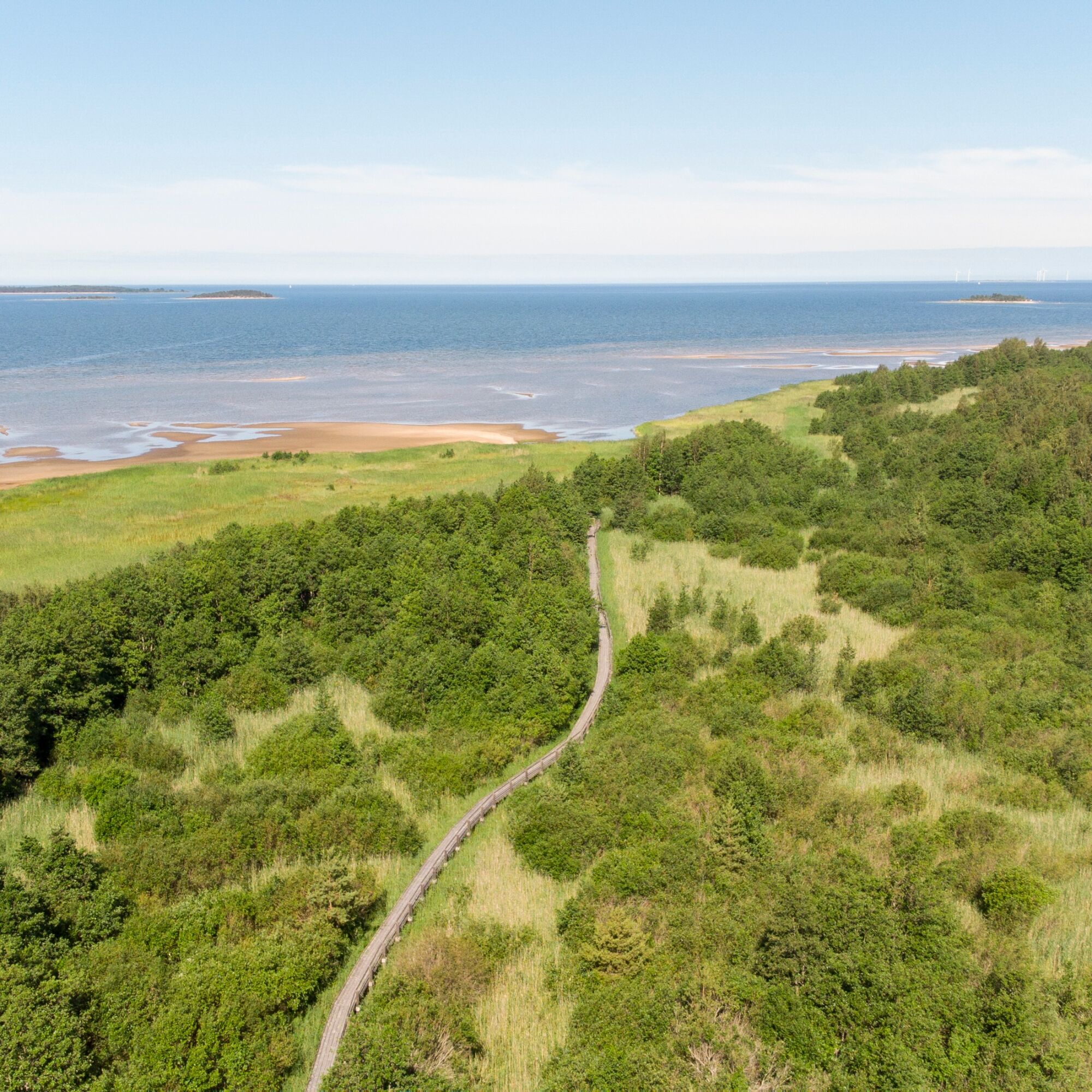
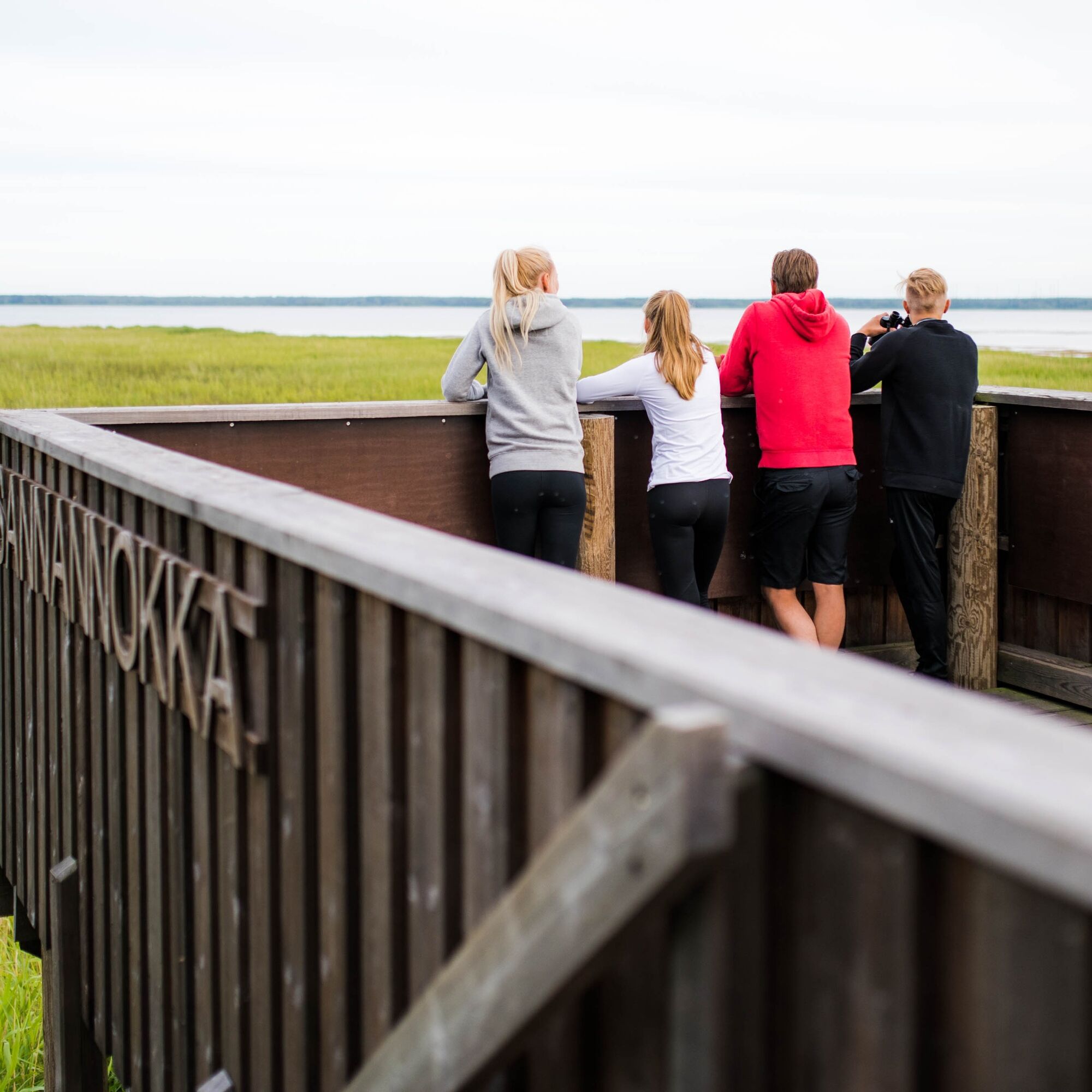
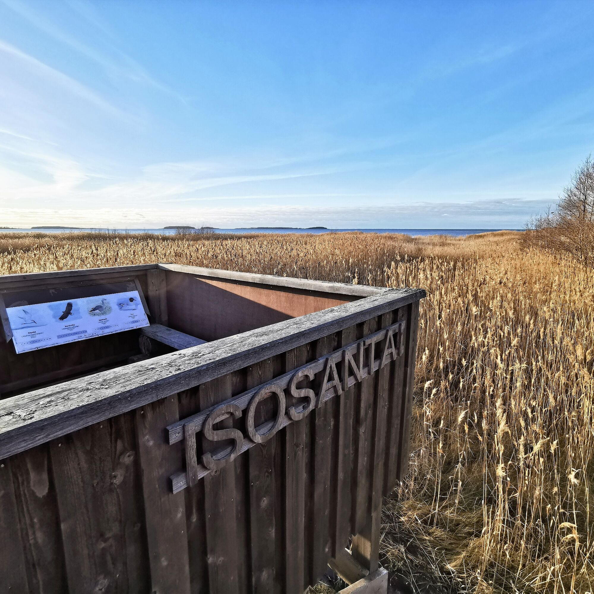
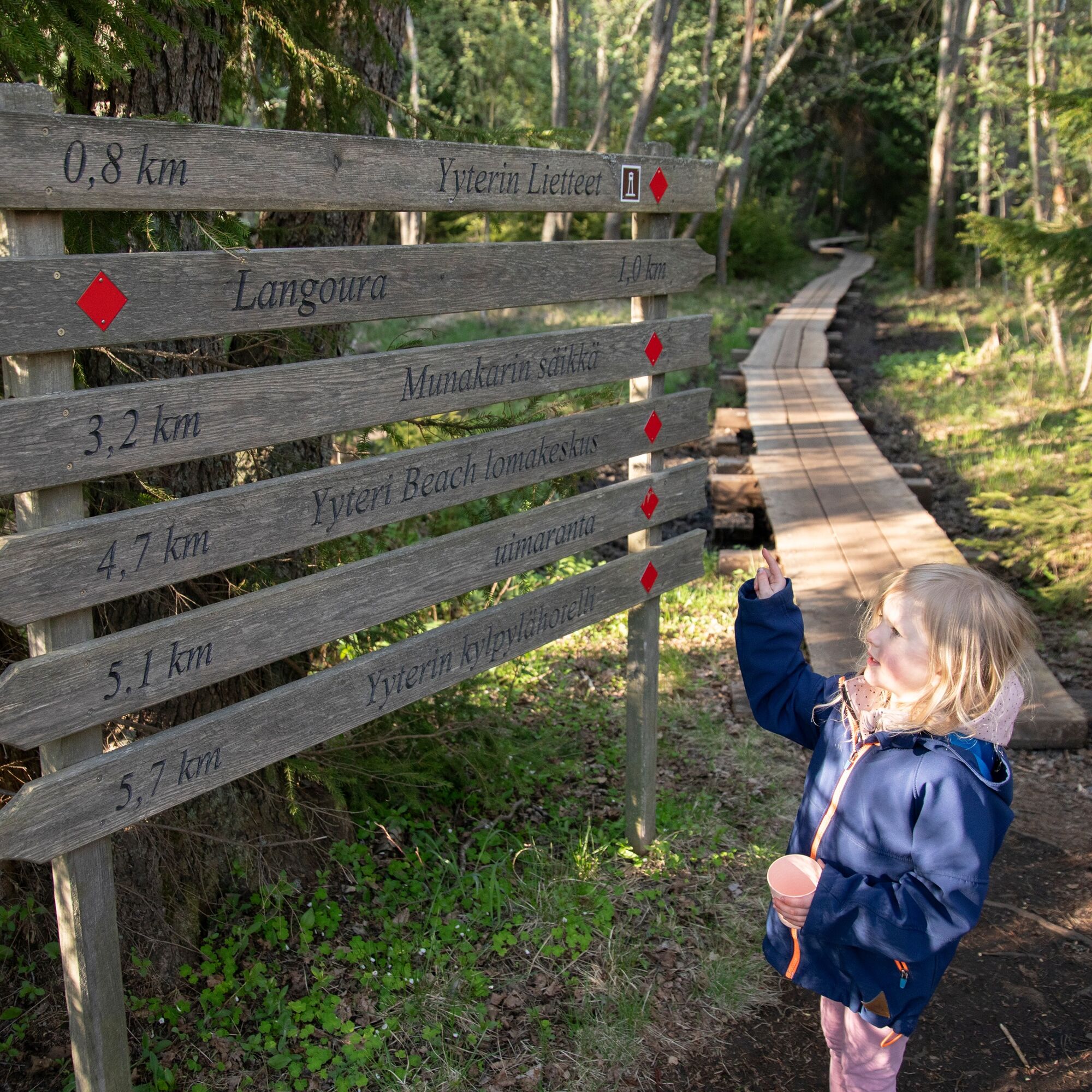
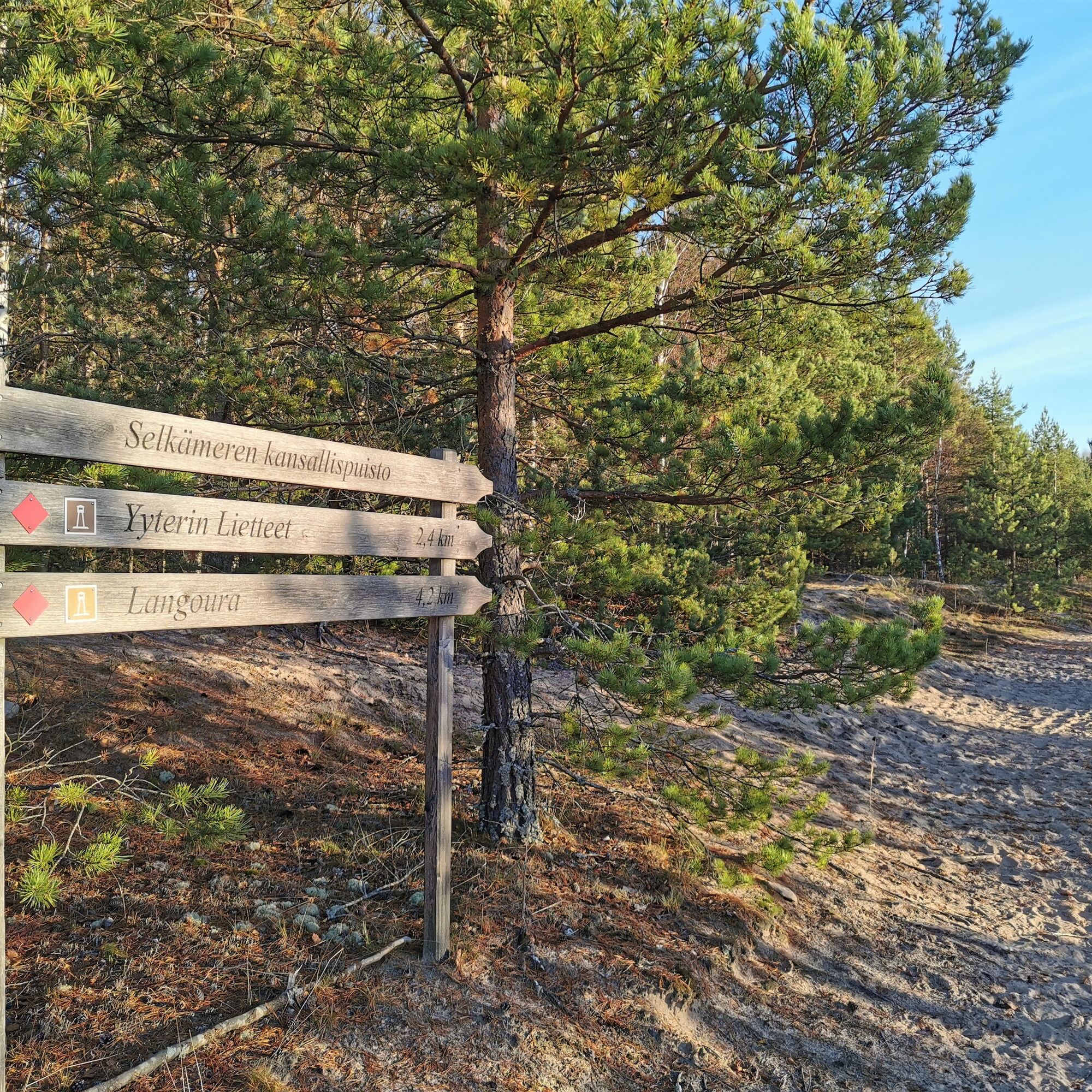

The route is most conveniently accessed from the Langoura parking area along Huhtalanraitti, but also from the Seikkailupuisto Huikee parking area, although this increases the total length of the route. There are several nature platforms on the Yyteri mudflats and to the north of them, offering views of the sea, mudflats, and coastal meadows. The very northern part of the route runs on sand, where it meets the Santojen loop.
Route marking: red color code on wooden posts and signposts.
Binoculars are also a good addition for the birds visible in nature.
We recommend downloading the 112 Finland app in case something happens along the route.
Boardwalks, stairs of the nature platforms, roots, and stones may be slippery in wet weather.
In spring and autumn, large puddles may accumulate on the section between Langoura and the mudflats.
You can arrive by car
to the Langoura nature platform parking area at Huhtalanraitti 206, 28800 Pori (recommended)
OR
to the Seikkailupuisto Huikee parking area at Hiekkarannantie 189, 28800 Pori
The nearest local bus stop for Pori public transport is on road 2 at the start of Huhtalanraitti; more information: Schedules and routes - Pori Public Transport
There is plenty of free parking space available at both starting points!
T1
From the Huhtalanraitti parking area, an accessible Langoura route also continues in the other direction, plus an additional 400 meters to the Huhtala nature tower.
Popularne wycieczki w okolicy
Karhuluodon kierros in Yyteri (MTB)
światłoMountainbike 10,5 kmHerrainpäivien lankonki in Yyteri (accessible)
światłoWędrówka 0,32 kmLuotojen lenkki (Luotojen route)
światłoWędrówka 3,33 kmSantojen lenkki in Yyteri
średniWędrówka 5,47 kmSauvakävelyreitti (Nordic walking route)
średniWędrówka 6,88 kmKalafornian pyöräilyreitti (Kalafornia cycling route)
światłoMountainbike 4,02 kmGolfpolku in Yyteri (demanding accessible)
światłoWędrówka 2,69 kmKeisarin kierros in Yyteri
światłoWędrówka 2,68 kmPolsanluodon polku (Polsanluoto trail)
światłoTrasa tematyczna 1,10 kmKallon reitti in Yyteri
światłoWędrówka 4,85 km
Wędrówki i tropienie


Nie przegap ofert i inspiracji na następne wakacje
Twój adres e-mail została dodana do listy mailingowej.