Nawigacja
Pobierz tę trasę na swój telefon komórkowy
Mapa
Winter hiking trail: Hüttschlag to valley end
światło
Wędrówka zimą
12,35 km
Zeskanuj kod QR i rozpocznij nawigację w aplikacji bergfex.
QR Code
Wędrówki i tropienie

Winter hiking trail: Hüttschlag to valley end
światło
Wędrówka zimą
Odległość
12,35 km
Czas trwania
03:15 h
Ascent
129 hm
Poziom morza
981 - 1 040 m
Ścieżka do pobrania
Mapa
Winter hiking trail: Hüttschlag to valley end
światło
Wędrówka zimą
12,35 km

From the center of Hüttschlag, take a leisurely walk through the village, past the elementary school, to the Wolfau district. From here, the Großarler Ache river accompanies you to the Karteiskapelle and...

Opis
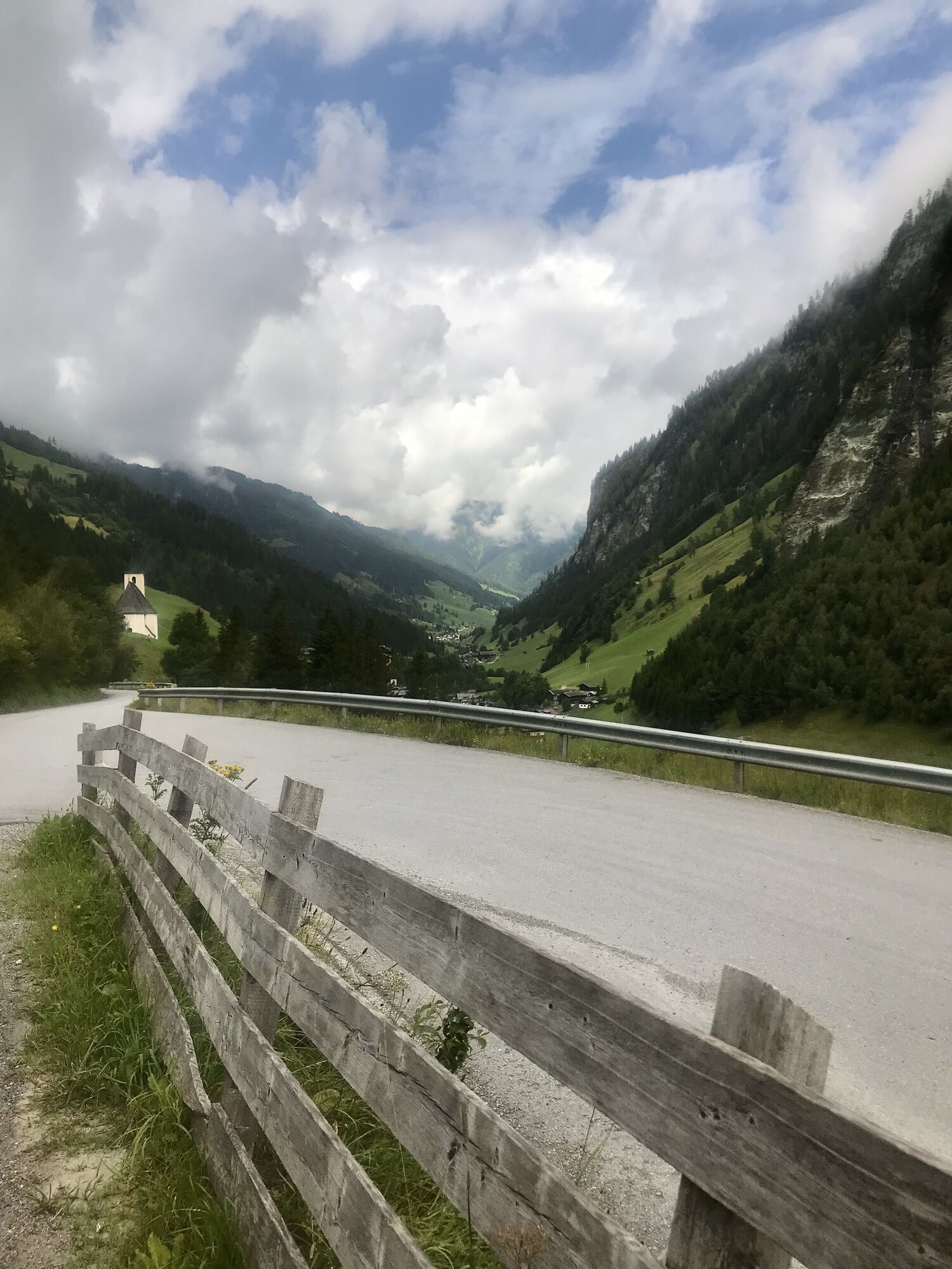
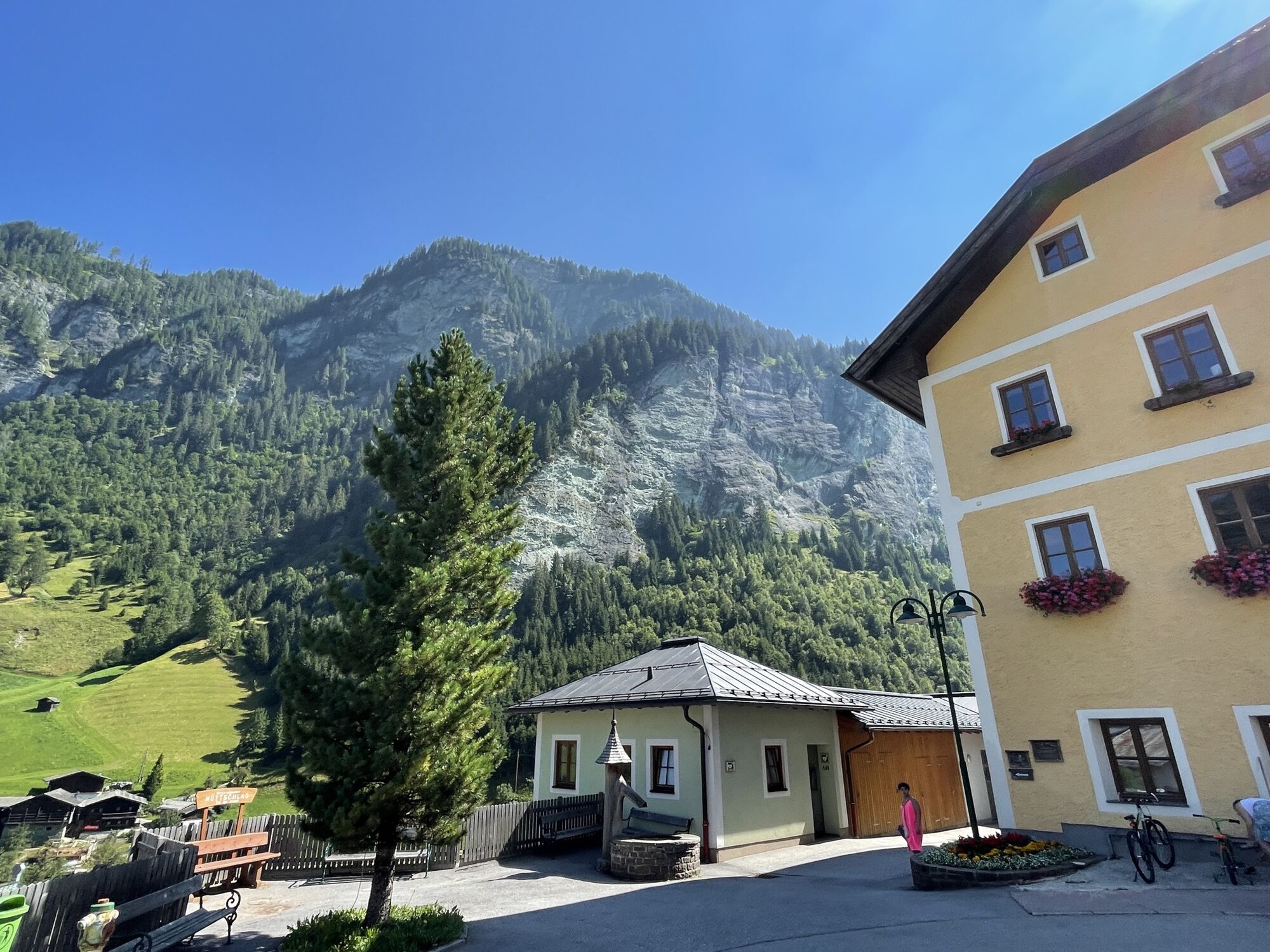
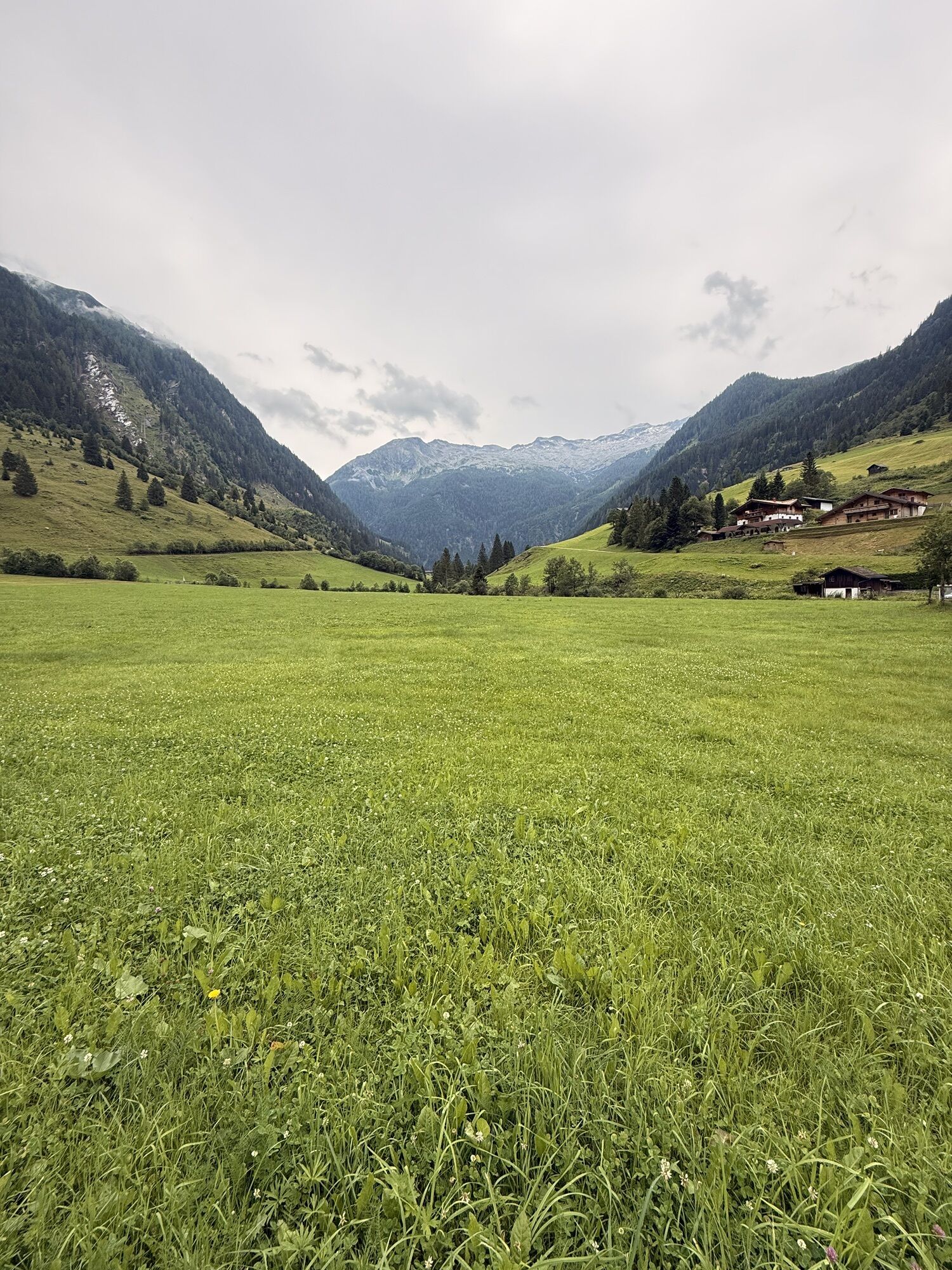
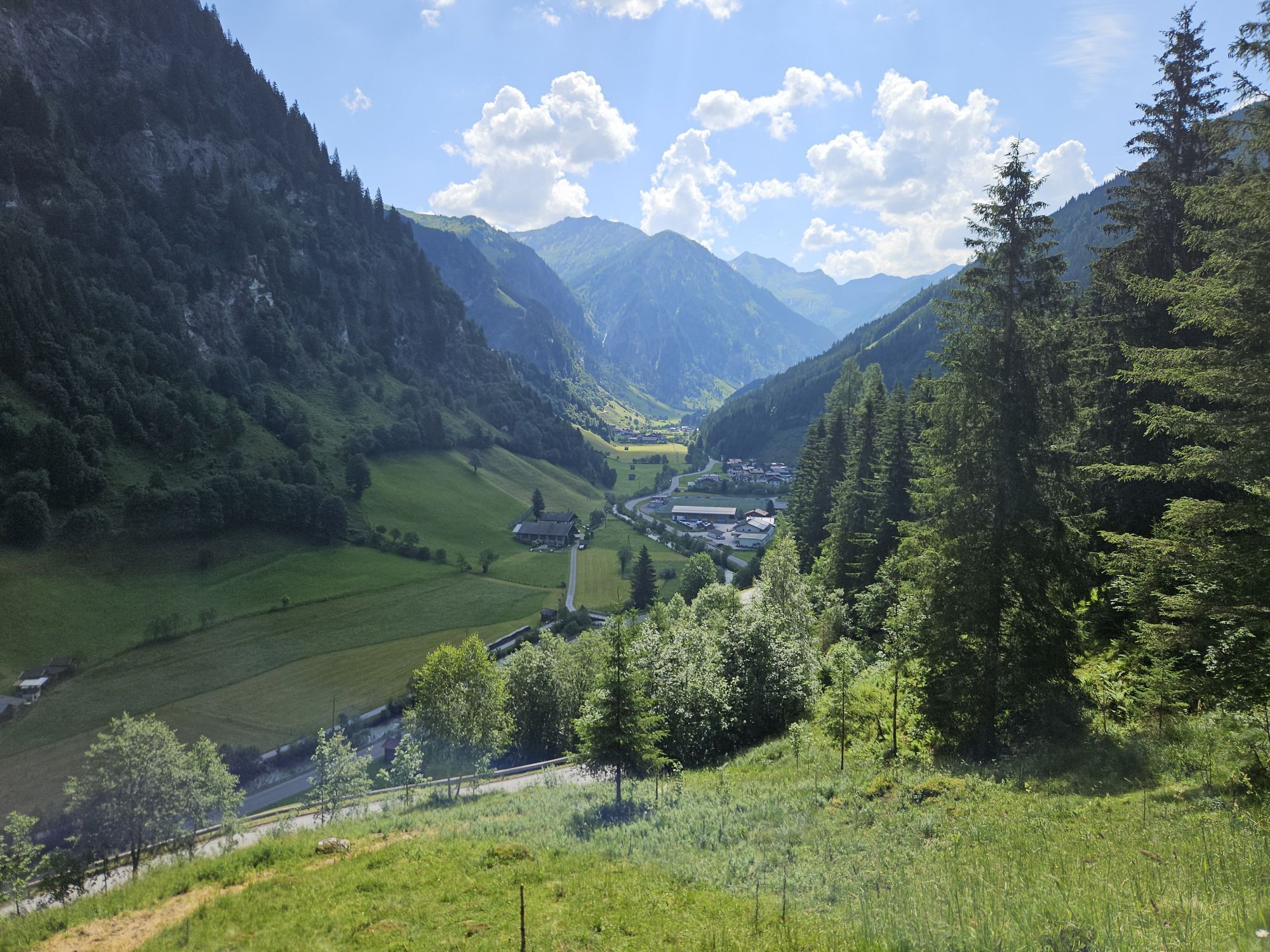
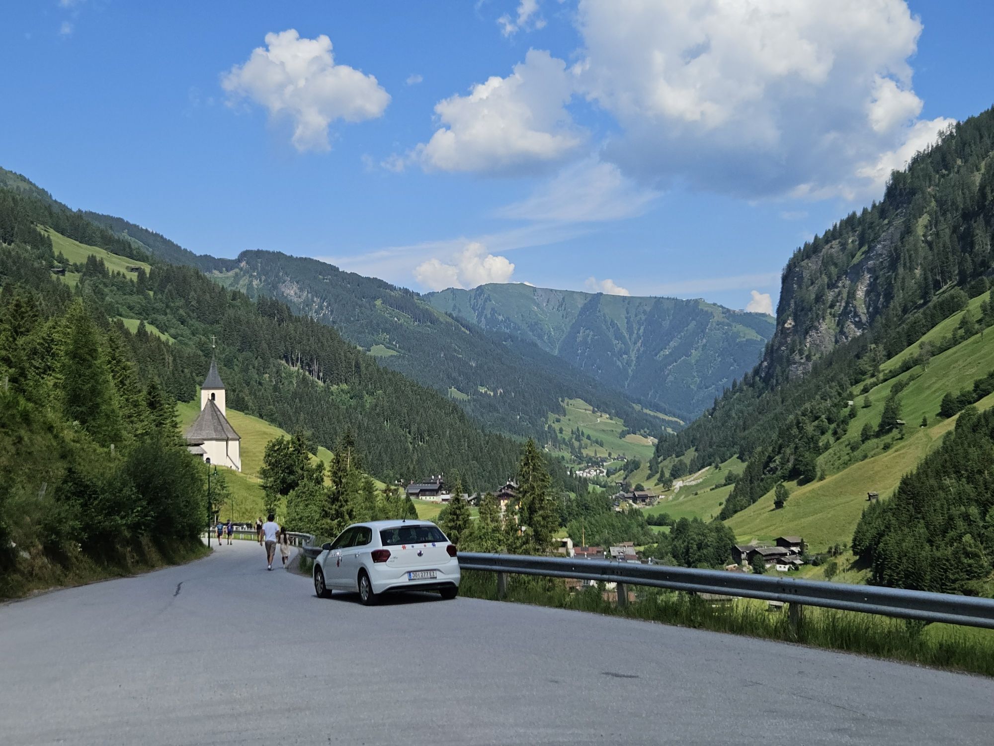
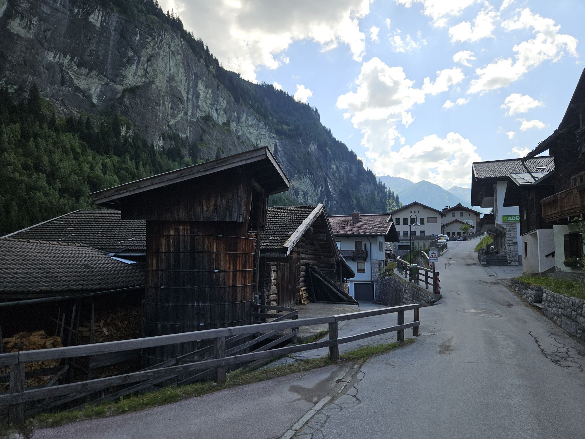
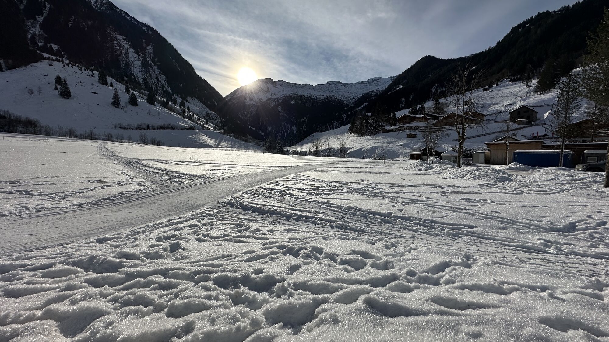
From the center of Hüttschlag, take a leisurely walk through the village, past the elementary school, to the Wolfau district. From here, the Großarler Ache river accompanies you to the Karteiskapelle and further to the Maurachkapelle.

At the Aschaustüberl there is an opportunity to rest and enjoy a cozy break. Those who prefer to continue walking right away follow the valley hiking trail to the valley end of Hüttschlag, where you can stop at the Gasthof Talwirt. Along the way, you will pass numerous farms nestled deep in the snow, creating a very special atmosphere.

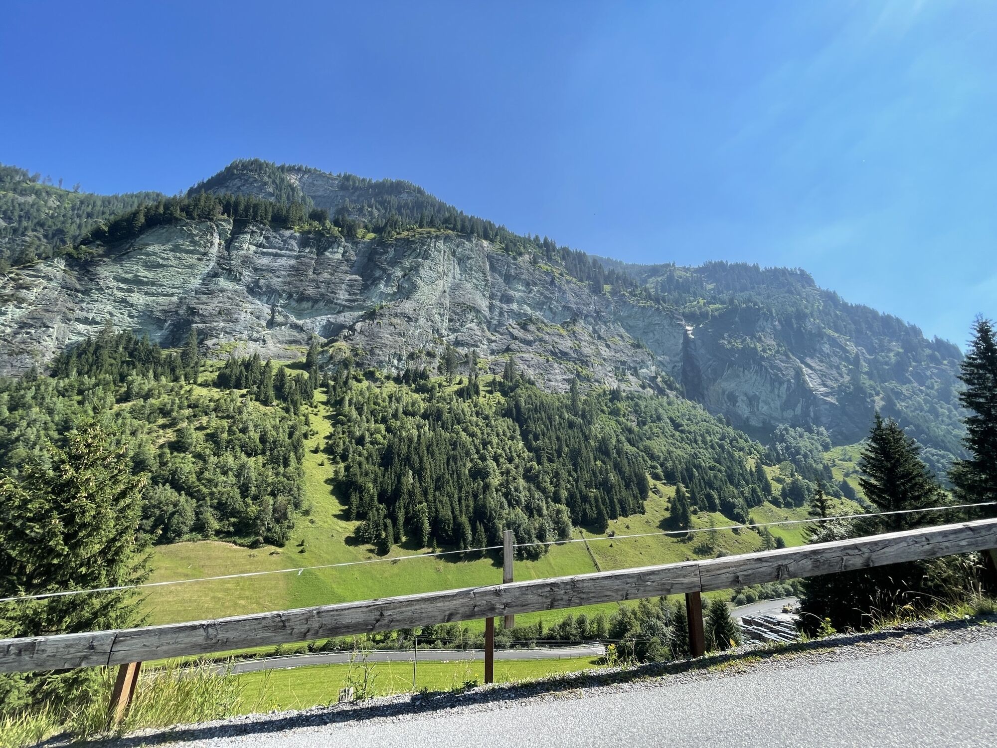
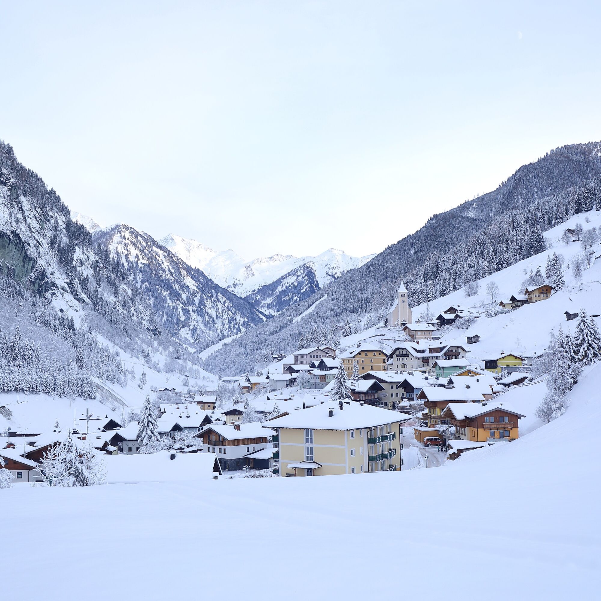
The winter surroundings of Hüttschlag combine silence and nature - making this hike a special experience.

Here you can find all the dining options in Großarl Valley.

Trasa
Hüttschlag
(983 m)
Wioska
0,2 km
Pfarrkirche Hüttschlag
(1 030 m)
Miejsce kultu
0,3 km
Karteiskapelle
(998 m)
Miejsce kultu
2,5 km
Maurachkapelle
(1 025 m)
Miejsce kultu
4,1 km
Maurachkapelle
(1 025 m)
Miejsce kultu
8,2 km
Karteiskapelle
(998 m)
Miejsce kultu
9,6 km
Pfarrkirche Hüttschlag
(1 030 m)
Miejsce kultu
11,9 km
Trasa
Mapa
Winter hiking trail: Hüttschlag to valley end
światło
Wędrówka zimą
12,35 km
Hotel Almrösl
(986 m)
Restauracja
0,1 km
Hüttenwirt
(1 000 m)
Restauracja
0,2 km
Hüttschlag
(983 m)
Wioska
0,2 km
Pfarrkirche Hüttschlag
(1 030 m)
Miejsce kultu
0,3 km
Schrambach
(979 m)
Sąsiedztwo
1,2 km
Wolfau
(984 m)
Rozliczenie
1,6 km
Gruberwirt
(985 m)
Restauracja
1,7 km
Karteiskapelle
(998 m)
Miejsce kultu
2,5 km
Karteis
(1 009 m)
Rozliczenie
2,8 km
Maurach
(1 030 m)
Sąsiedztwo
4,1 km
Maurachkapelle
(1 025 m)
Miejsce kultu
4,1 km
Aschlreit
(1 077 m)
Sąsiedztwo
4,8 km
Kree
(1 035 m)
Sąsiedztwo
7,1 km
Aschlreit
(1 077 m)
Sąsiedztwo
7,3 km
Maurach
(1 030 m)
Sąsiedztwo
8,1 km
Maurachkapelle
(1 025 m)
Miejsce kultu
8,2 km
Karteis
(1 009 m)
Rozliczenie
9,5 km
Karteiskapelle
(998 m)
Miejsce kultu
9,6 km
Gruberwirt
(985 m)
Restauracja
10,5 km
Wolfau
(984 m)
Rozliczenie
10,6 km
Schrambach
(979 m)
Sąsiedztwo
11,0 km
Pfarrkirche Hüttschlag
(1 030 m)
Miejsce kultu
11,9 km
Hüttschlag
(983 m)
Wioska
12,1 km
Hüttenwirt
(1 000 m)
Restauracja
12,1 km
Hotel Almrösl
(986 m)
Restauracja
12,3 km
Informacje o wycieczce

Winter hiking trail through the mountaineering village of Hüttschlag.

Technologia
n.d.
Stan
2 / 6
Krajobraz
3 / 6
Doświadczenie
3 / 6
Najlepsza pora roku
Sty
Lut
Mar
Kwi
Maj
Cze
Lip
Sie
Wrz
Paź
Lis
Gru
Udostępnij trasę
Mapa
Winter hiking trail: Hüttschlag to valley end
światło
Wędrówka zimą
12,35 km
Błąd
Wystąpił błąd. Spróbuj ponownie.
Informacje o trasie
Trasa
Drive with your own car to Hüttschlag (parking available) or take the Postbus No. 540 to the bus stop Hüttschlag Ortsmitte. From there, trail No. 26 leads uphill past the elementary school to the Wolfau district. Here you first need to walk a short distance to the left before you can cross the bridge. Then you continue a short distance alongside the cross-country ski trail until you reach the Karteiskapelle. From there, the valley hiking trail takes you to the Maurachkapelle and the Aschaustüberl. Along the Großarler Ache river, the route continues to the valley end of Hüttschlag - return is the same way.
Odpowiedni dla rodzin

Tak

Wycieczka w jedną stronę

Tak

Sprzęt

Sturdy footwear with profile sole

Informacje o przyjeździe
Przybycie

Take the Postbus line No. 540 to the bus stop Hüttschlag Ortsmitte or drive by car to Hüttschlag (parking available).

Transport publiczny
Parking

Parking options in the center of Hüttschlag

Dodatkowe informacje i wskazówki
Dodatkowe informacje
Nie ma jeszcze recenzji
Napisz recenzję

Recenzje pomagają innym użytkownikom wybrać kolejną przygodę. Oceniaj tylko trasę, a nie pogodę lub przekąskę.

Wybierz jedną z gwiazdek, aby ocenić wycieczkę
Zła trasa
Słaba trasa
Przeciętna wycieczka
Dobra wycieczka
Doskonała wycieczka

Kamery internetowe z trasy

bergfex logo Uzyskaj wgląd Zawsze na żywo z ponad 9 500 kamer internetowych. bergfex Jako użytkownik Pro, możesz teraz zobaczyć odpowiednie kamery internetowe dla wielu wycieczek w aplikacji wycieczki od. Pozwala to na bezpośredni podgląd aktualnych warunków.
Wędrówki i tropienie

Wędrówki i tropienie

Wędrówki i tropienie
Ponad 550.000 propozycji wycieczek, szczegółowe mapy i intuicyjny planer tras sprawiają, że aplikacja jest niezbędna dla wszystkich entuzjastów przyrody.
bergfex