


Winter long-distance hiking stage 2 from Maria Alm to Hinterthal to the Triefen
Poziom trudności: 2
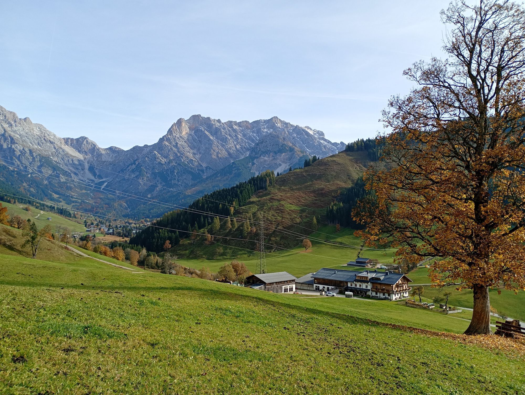
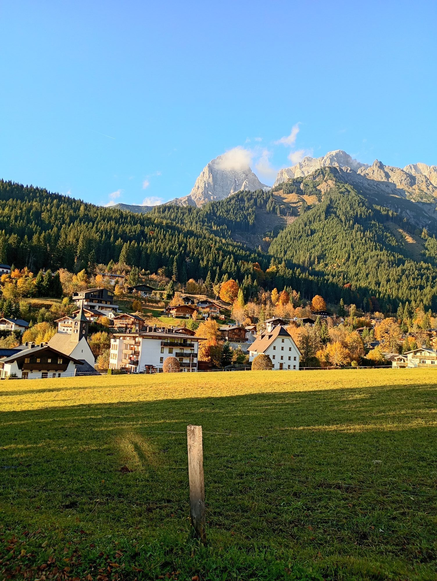
Experience the magic of winter on a hike from Maria Alm to Jufenalm and then to Hinterthal. Snow-covered landscapes, impressive views of the Steinernes Meer, and the majestic Hochkönig accompany you every...
Experience the magic of winter on a hike from Maria Alm to Jufenalm and then to Hinterthal. Snow-covered landscapes, impressive views of the Steinernes Meer, and the majestic Hochkönig accompany you every step of the way. At Jufenalm, you can refresh yourself with regional delicacies and perhaps take a look at the nearby red deer enclosure. Then continue through snowy valleys, past idyllic farms, until you reach the Triefen with its roaring waterfall and sparkling ice formations – perfect moments for unforgettable photos. Afterwards, the path leads back to the center of Maria Alm, where the ski bus conveniently takes you to your accommodation. Enjoy the tranquility, the clear winter air, and the impressive nature – a hike that enchants winter fans!

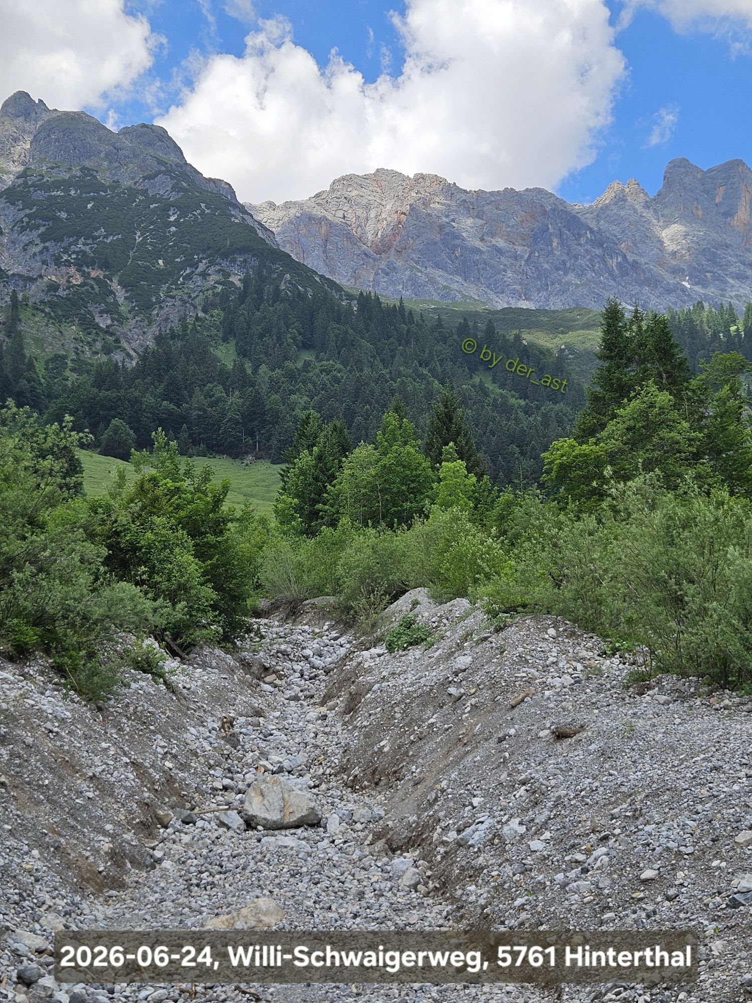
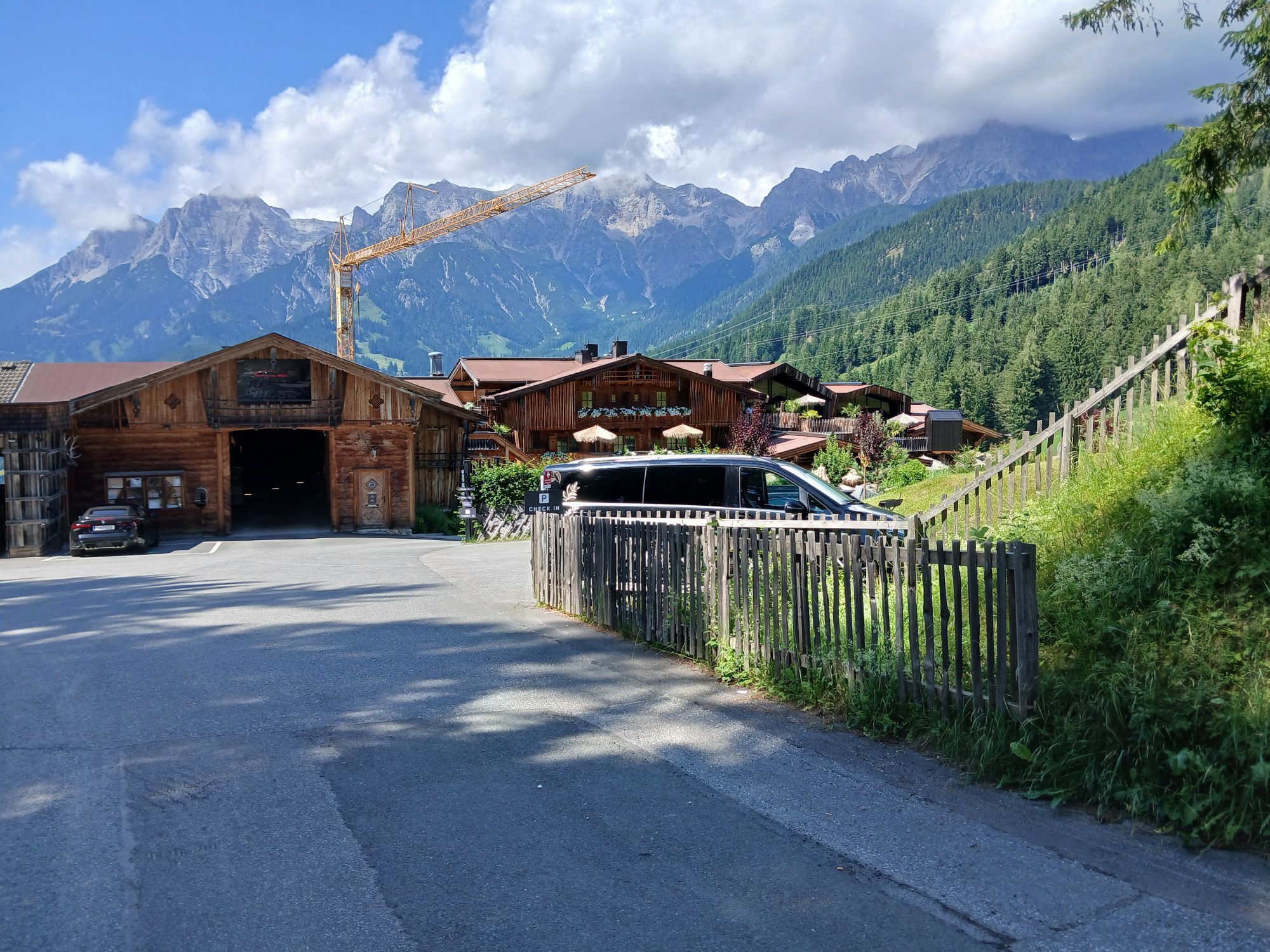
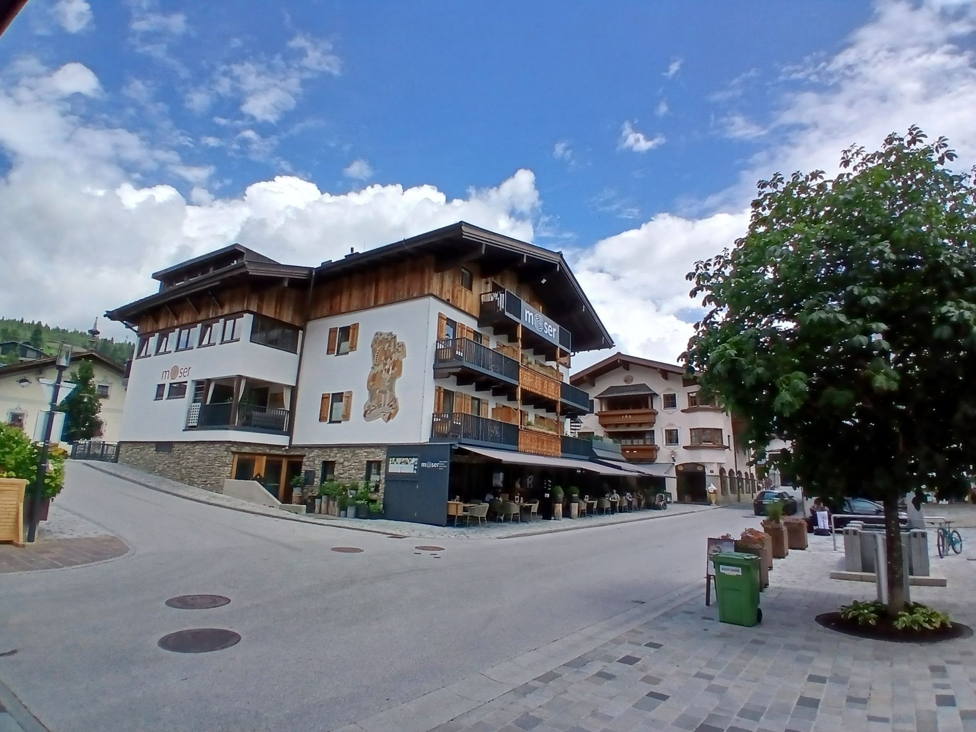
Start your winter hike at the information office in Maria Alm and set out on one of the most beautiful winter hiking trails in the region. Your path takes you past the valley station of the Natrunbahn and further into Oberdorf (trail no. 104A). Follow the village street into Krallerwinkl and turn right at the fork in the road into Enterwinkl. From there, follow the well-signposted winter hiking trail no. 25 up to the Jufenalm.
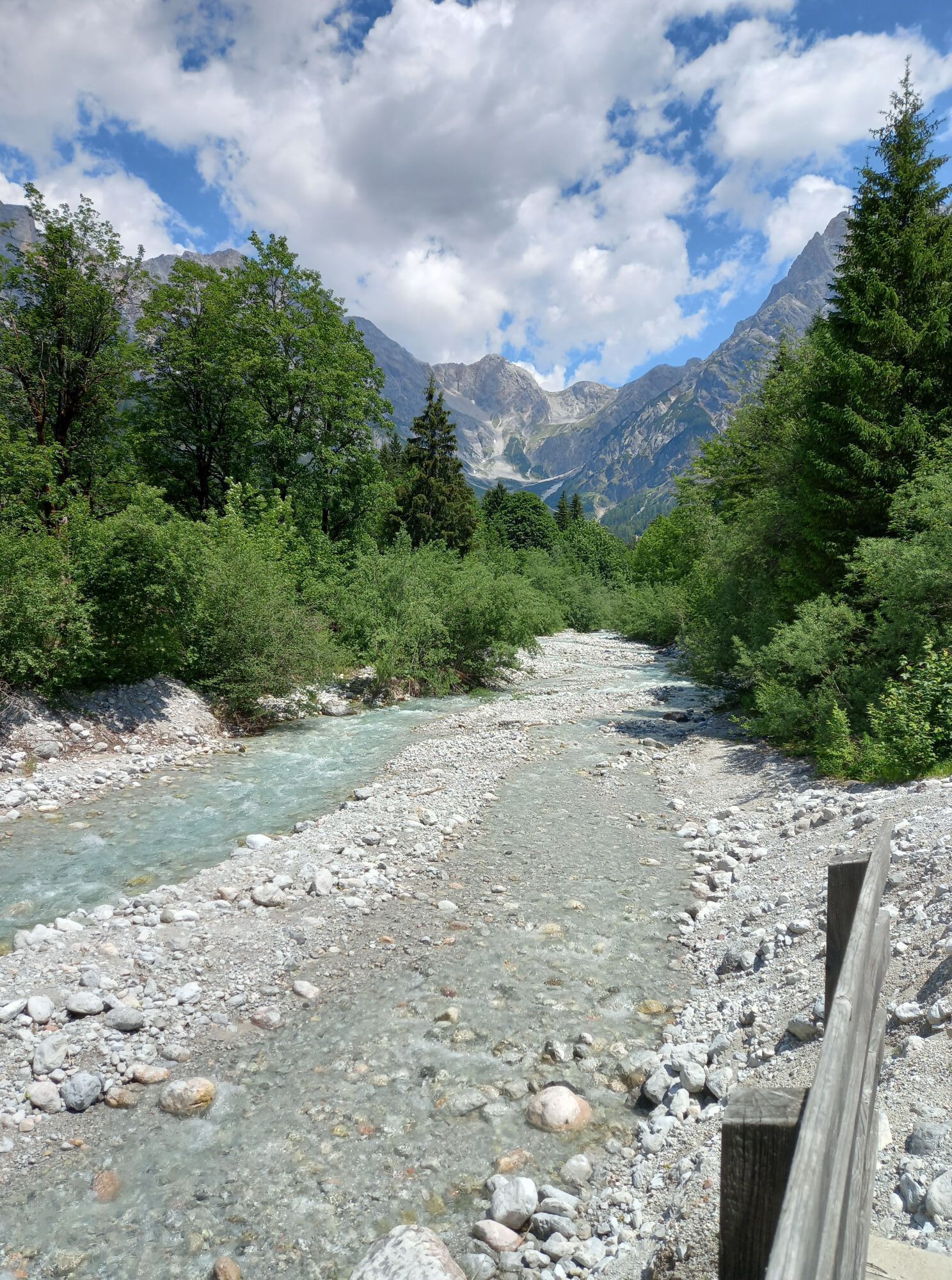
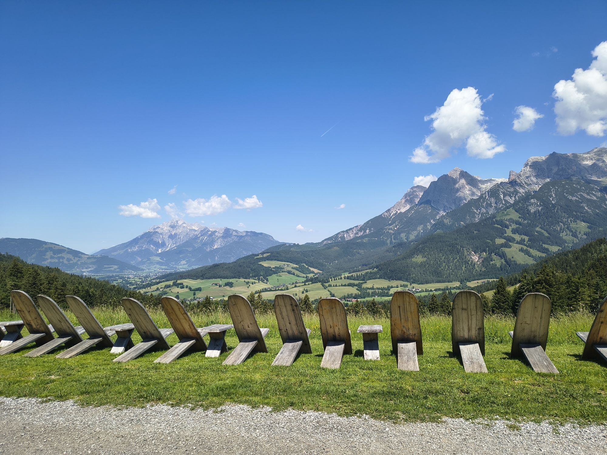
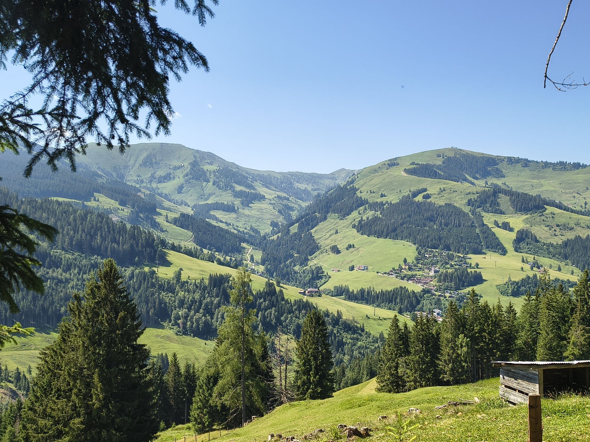
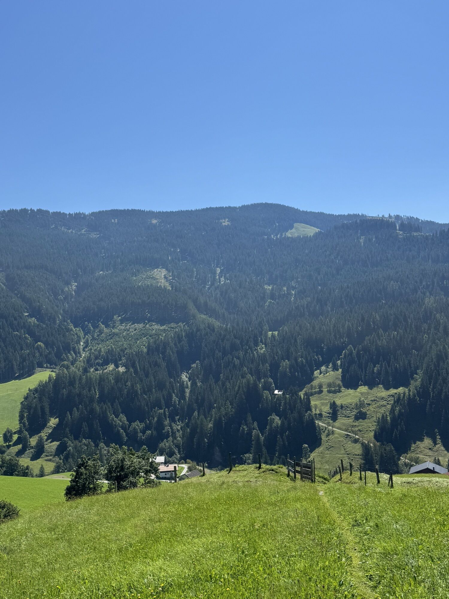
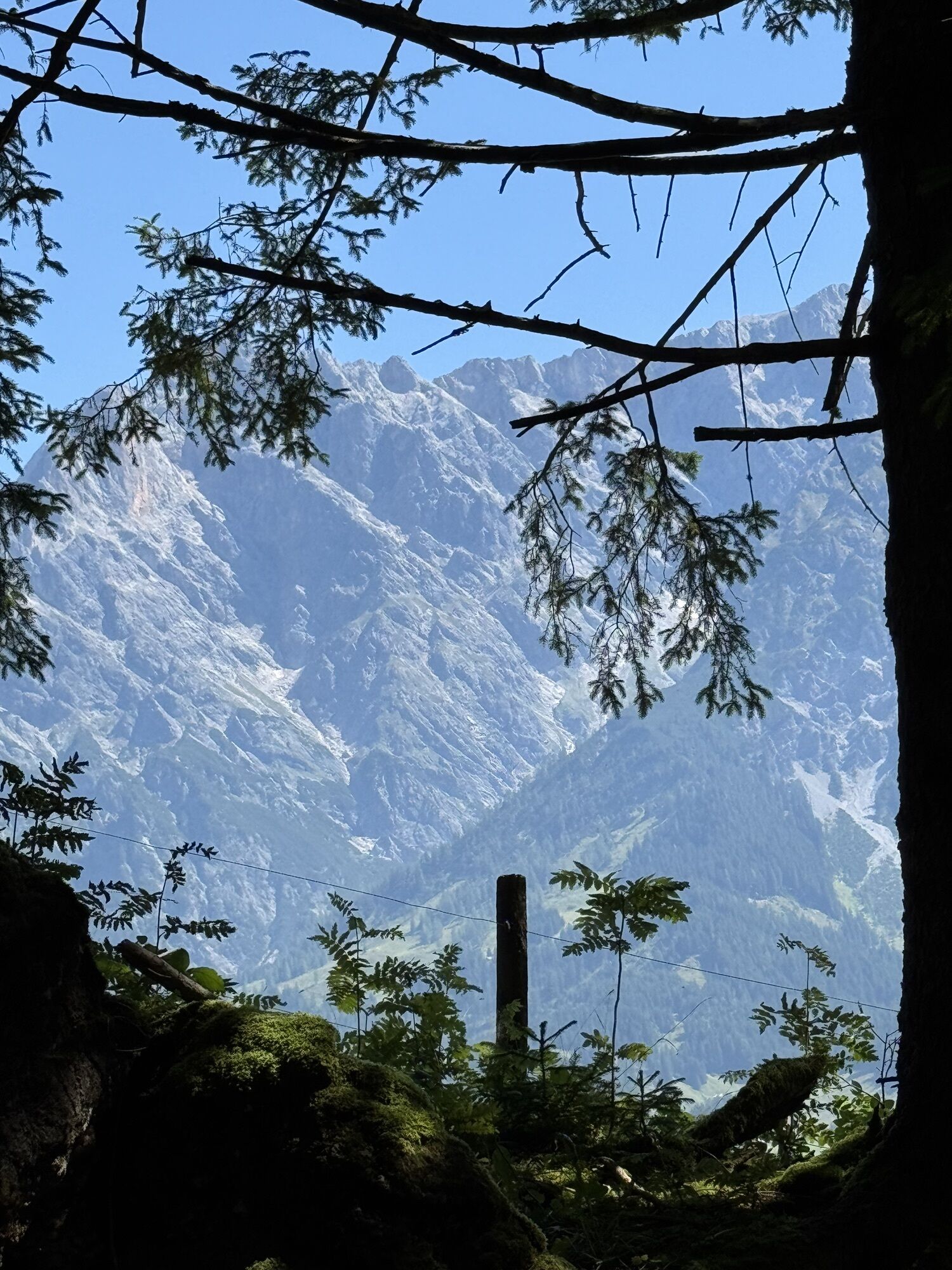
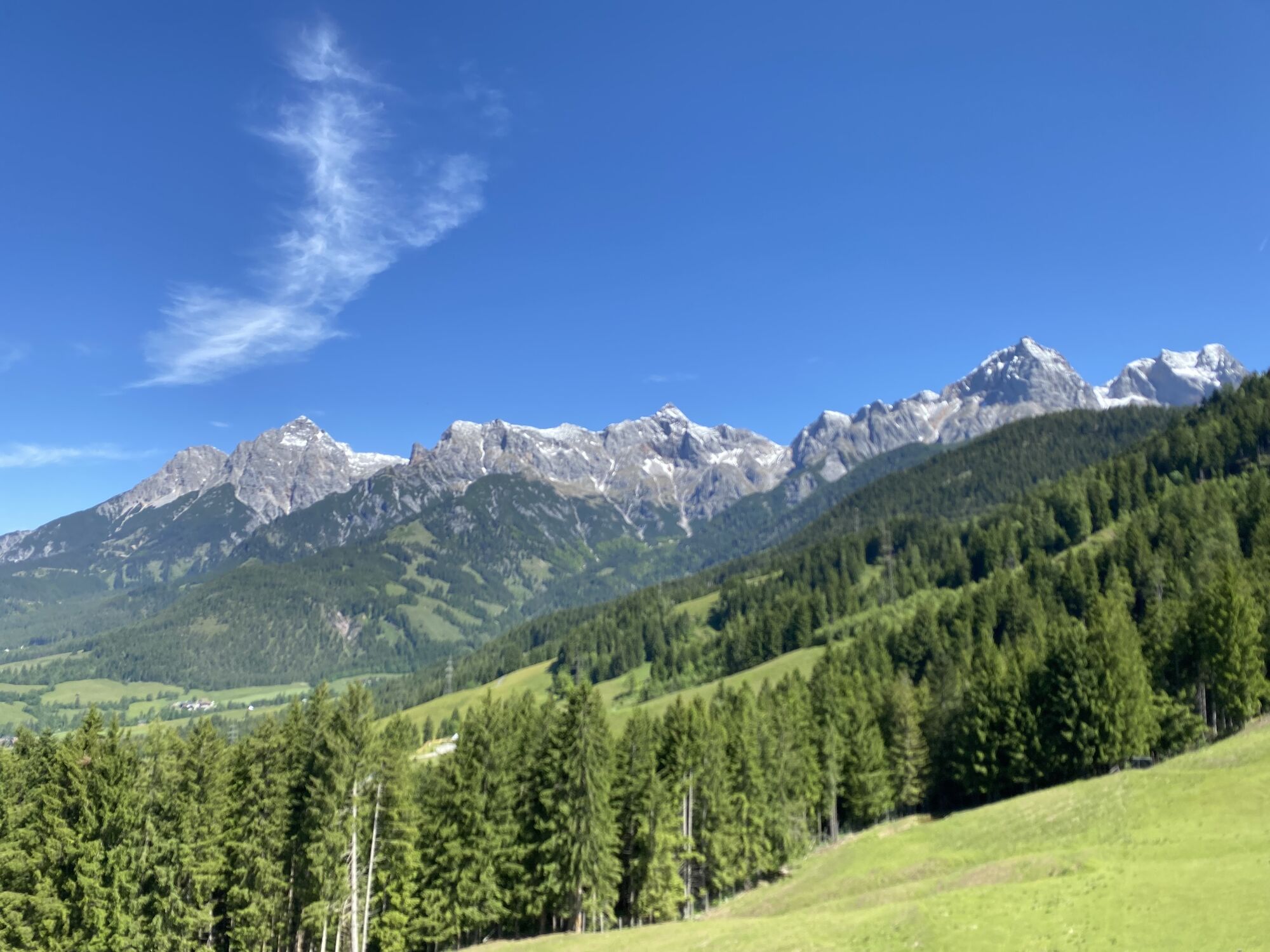
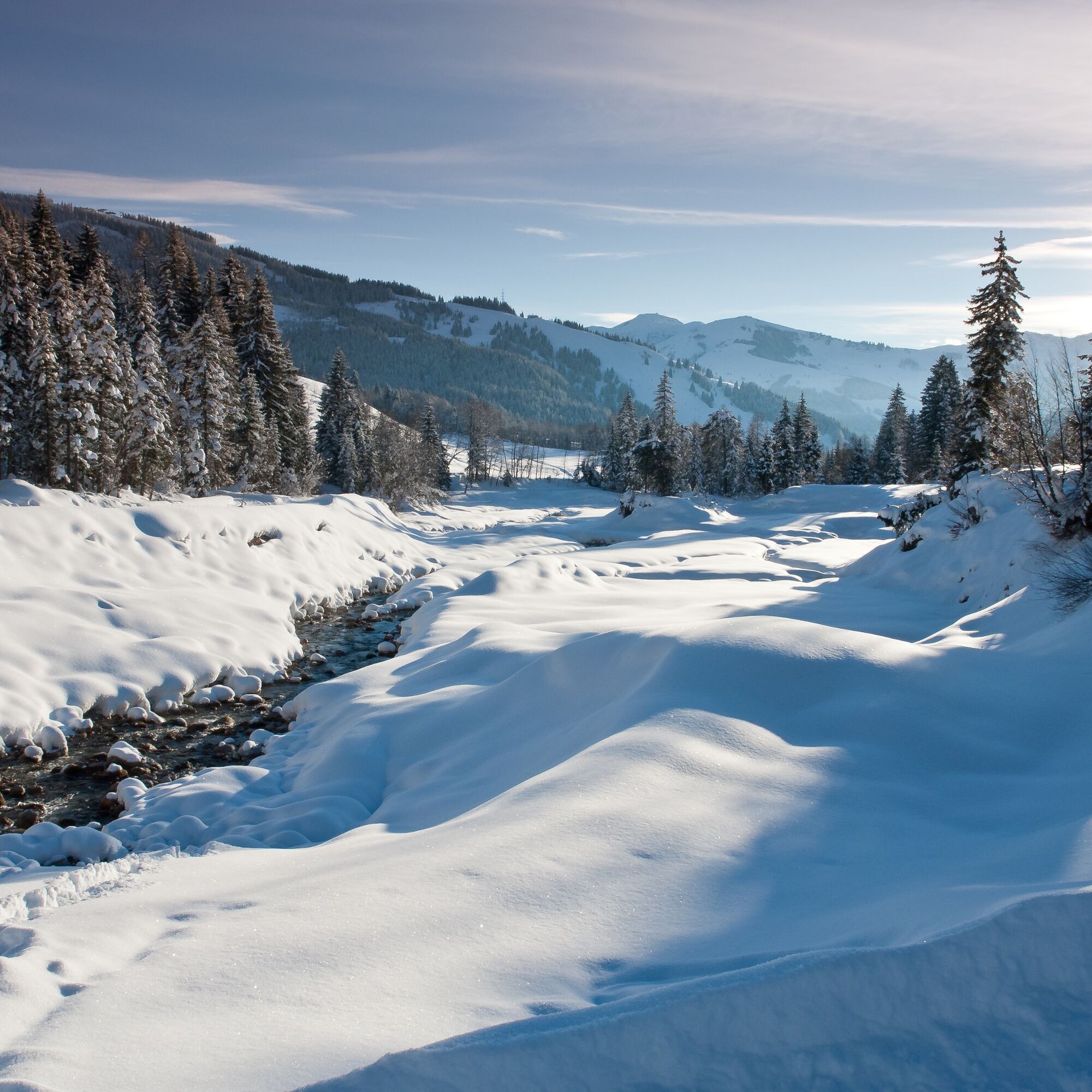
During the hike, you will repeatedly enjoy impressive views of the surrounding peaks of the Steinernes Meer. Take your time to let the tranquility of the snow-covered landscape affect you – winter endows nature with a very special magic!
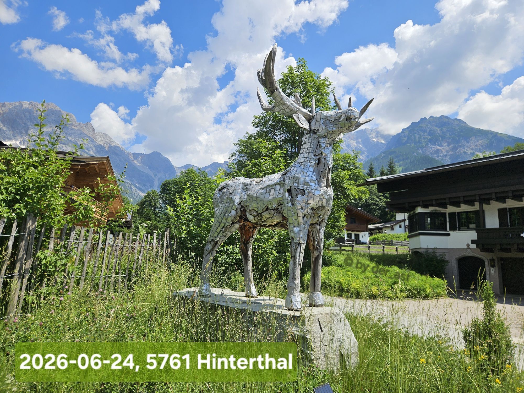
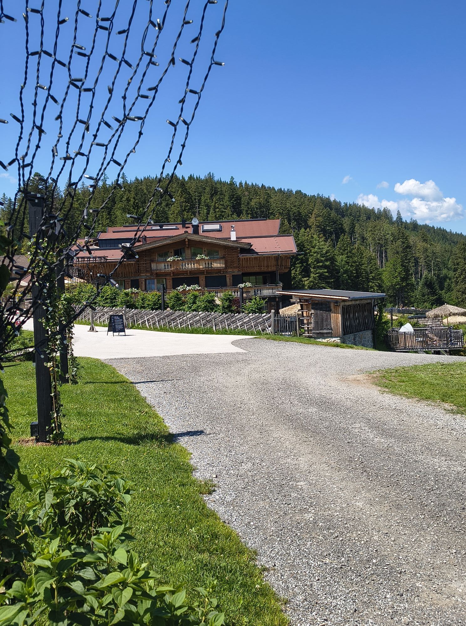
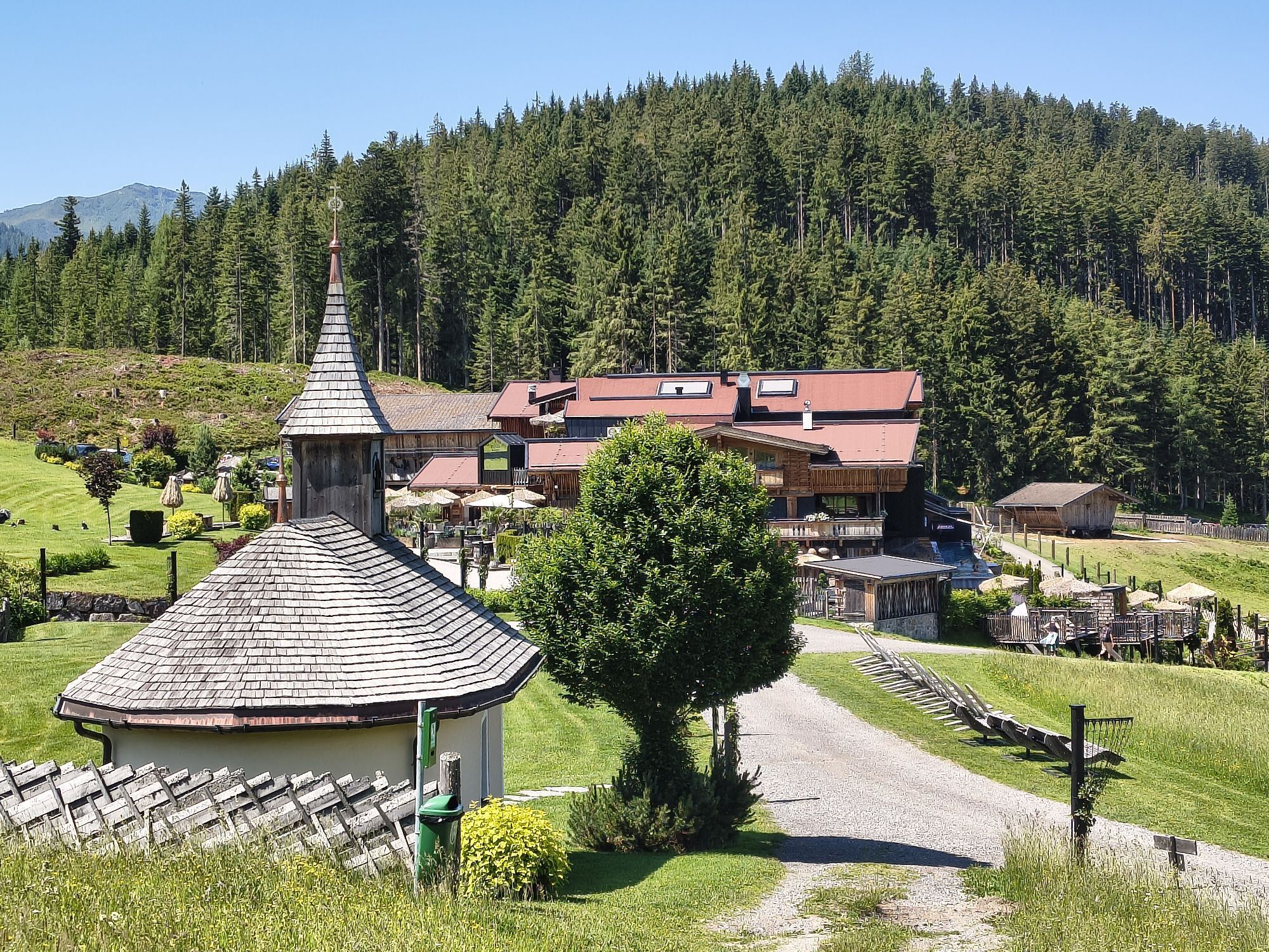
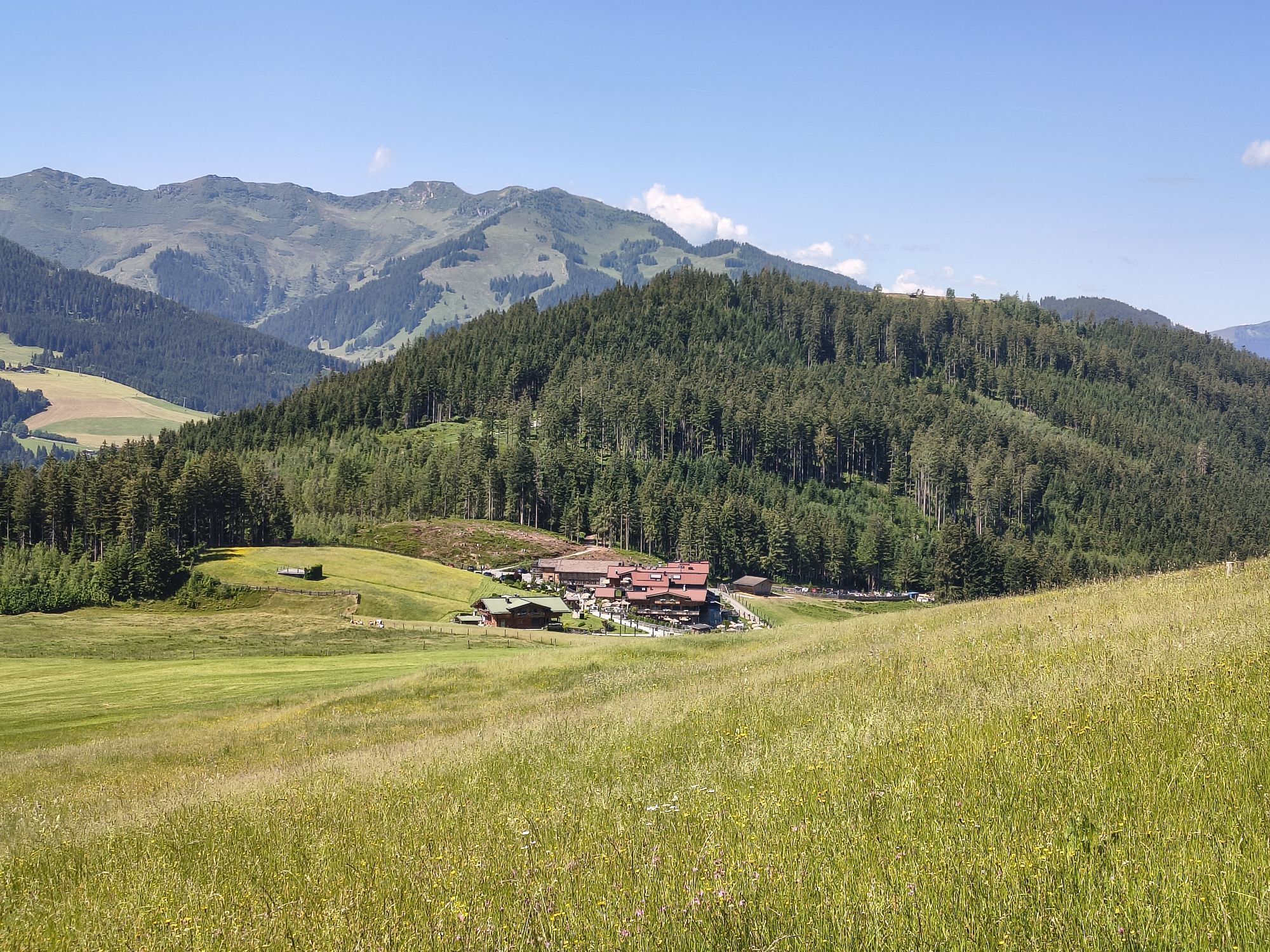
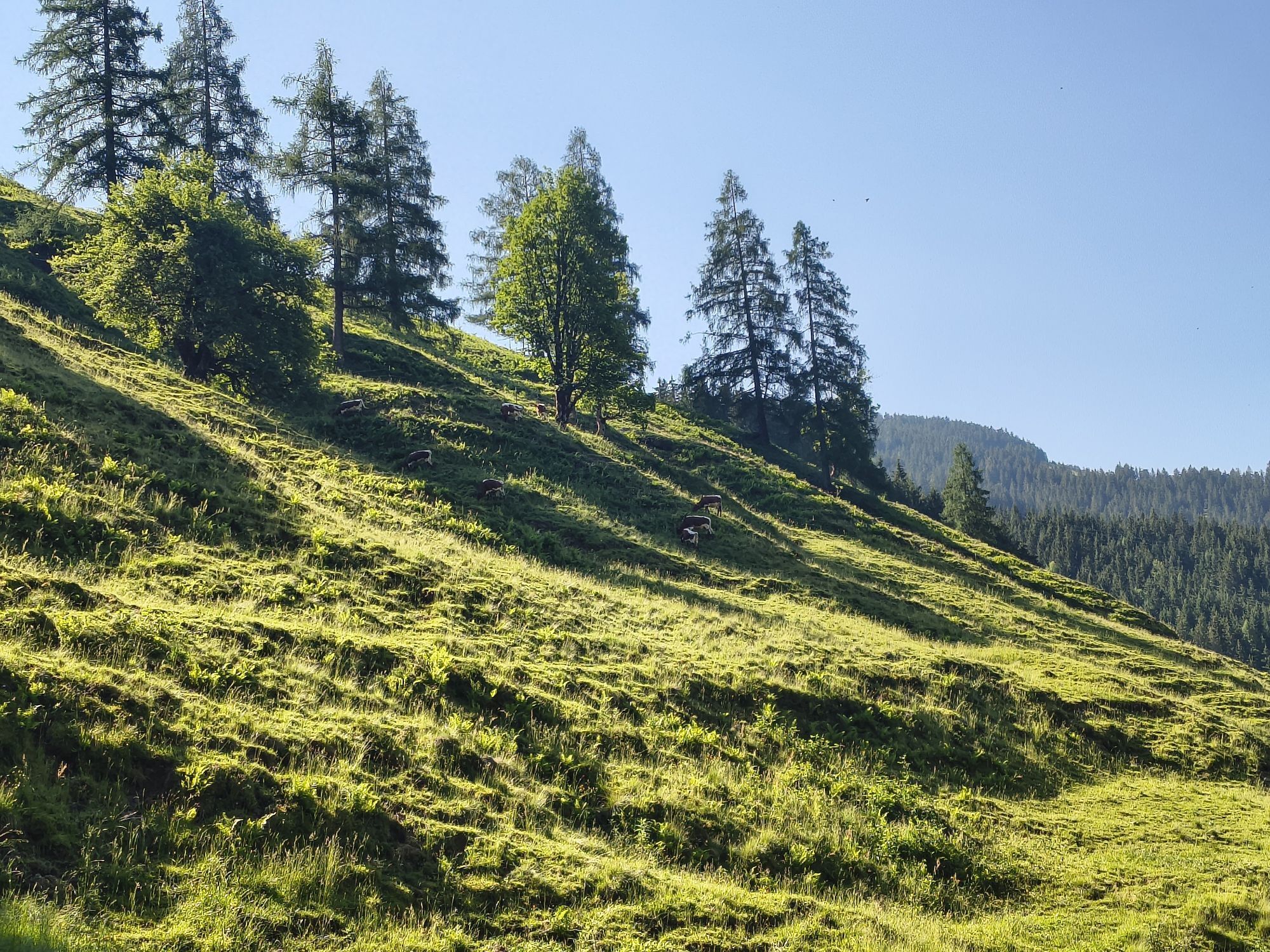
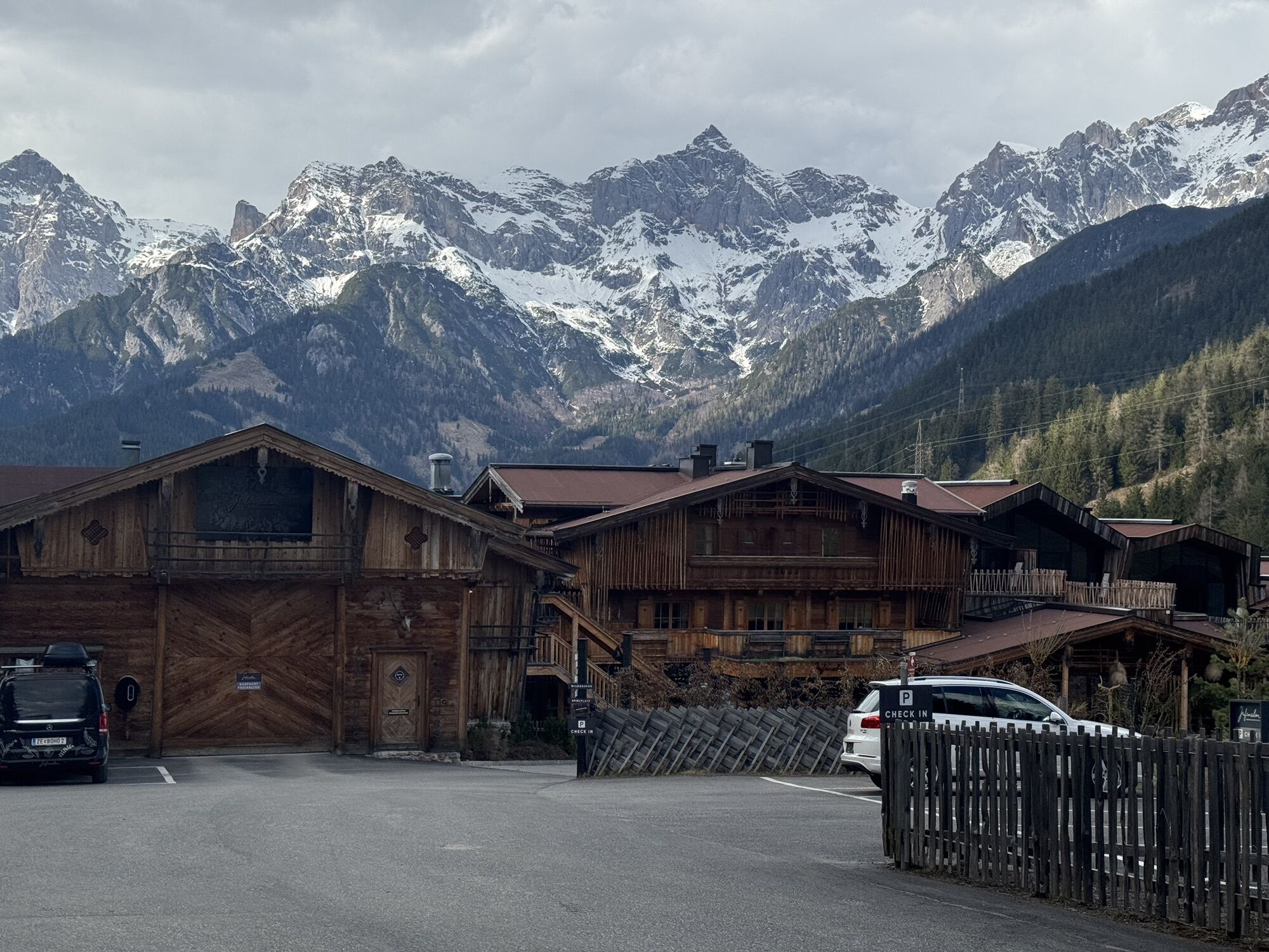
A well-deserved break awaits you at the Jufenalm in a cozy atmosphere. Treat yourself to regional delicacies and enjoy the charm of the inn. A small detour to the nearby wildlife enclosure is worthwhile: maybe you will spot the majestic red deer up close.
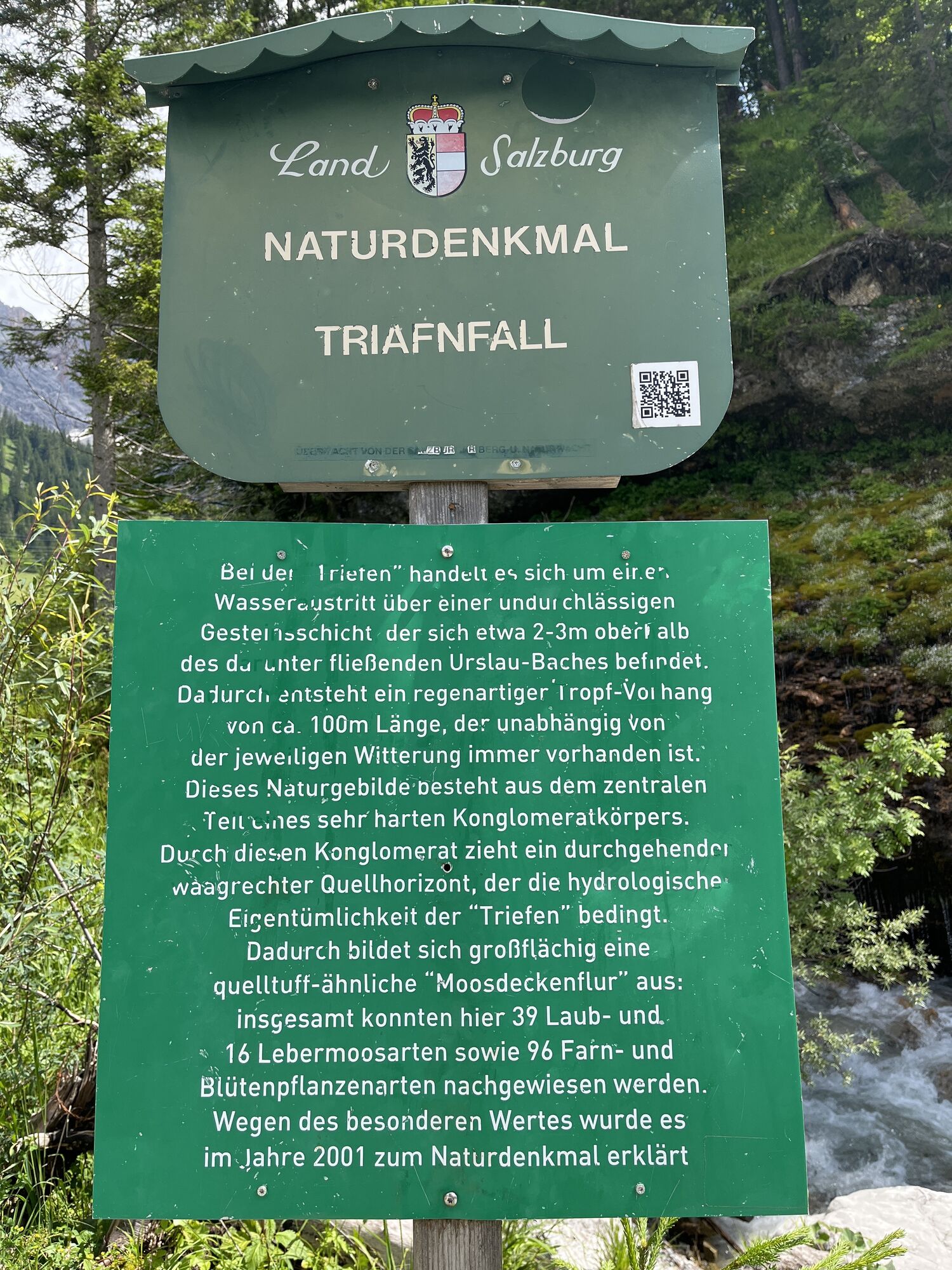
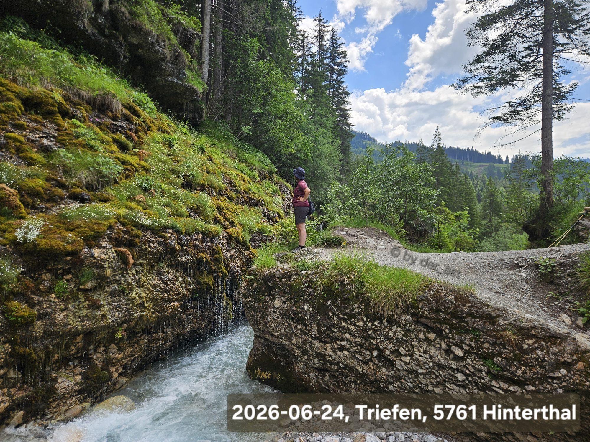
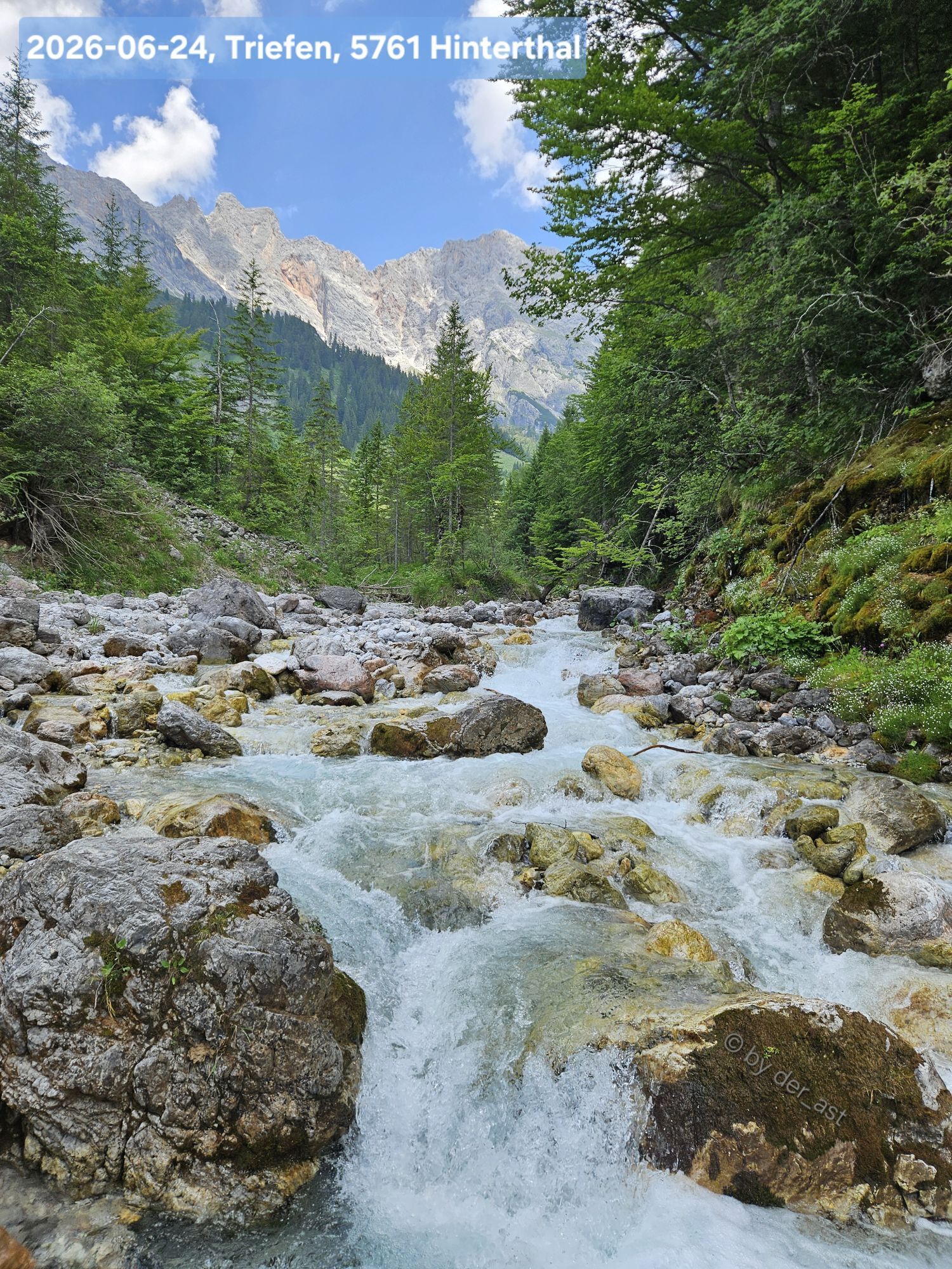
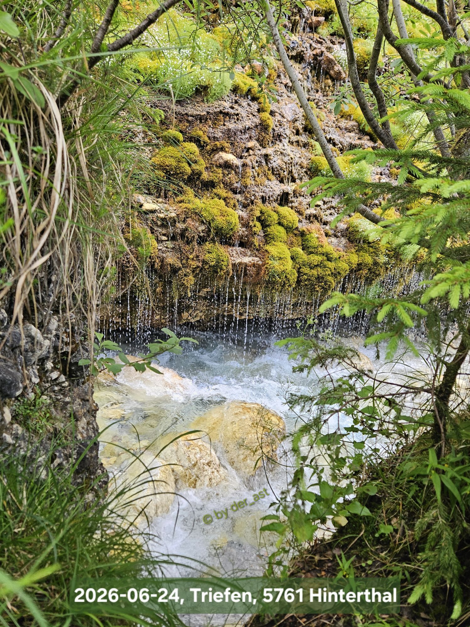
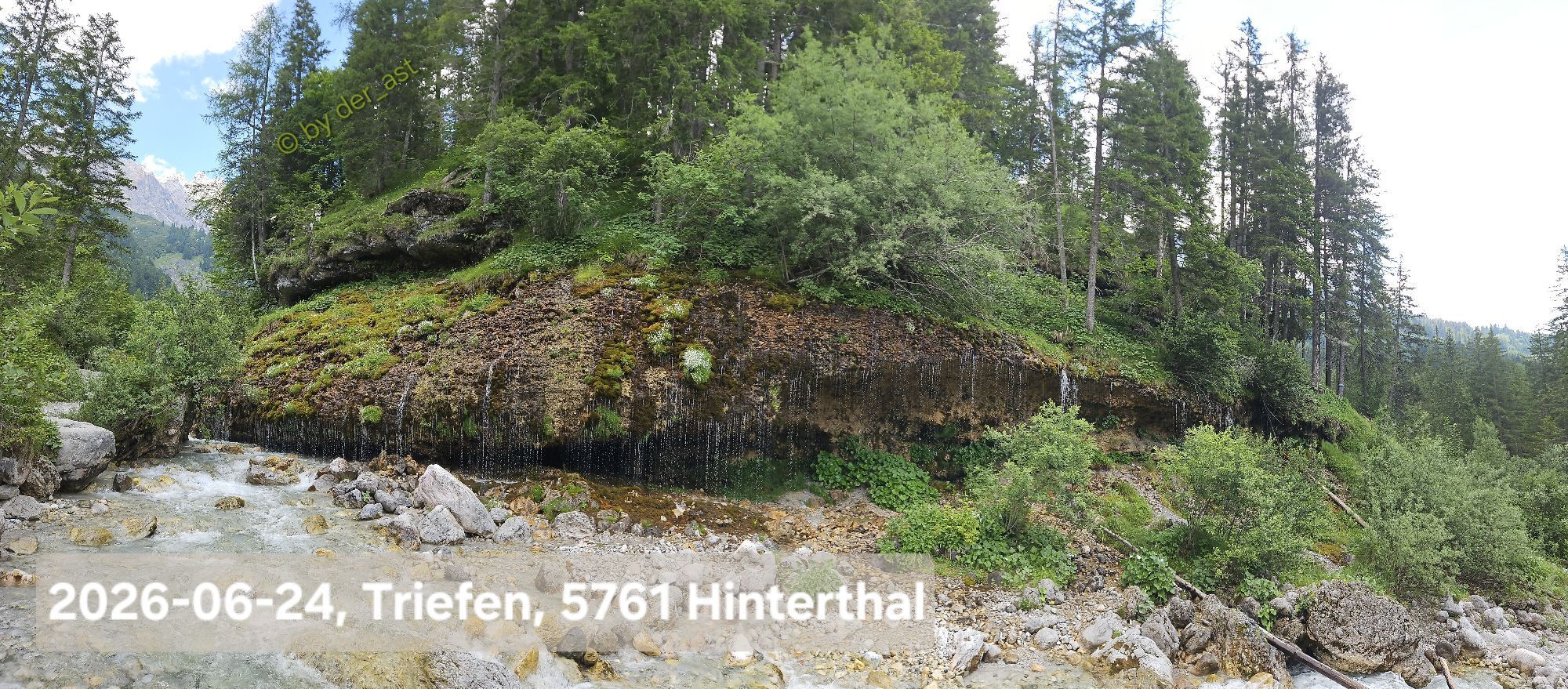
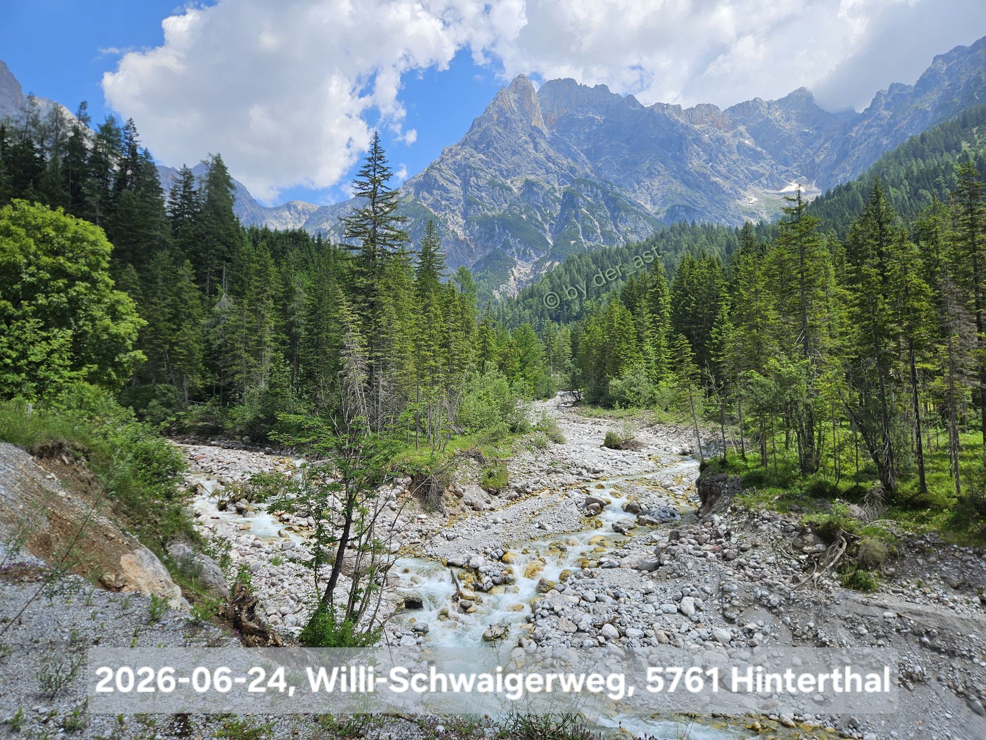
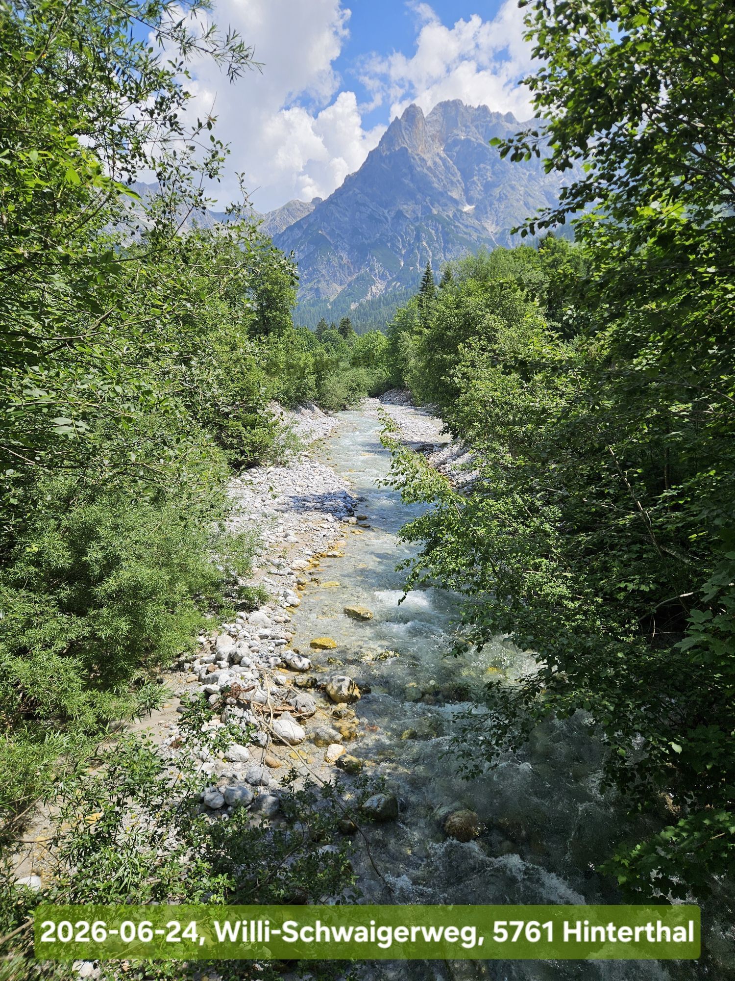
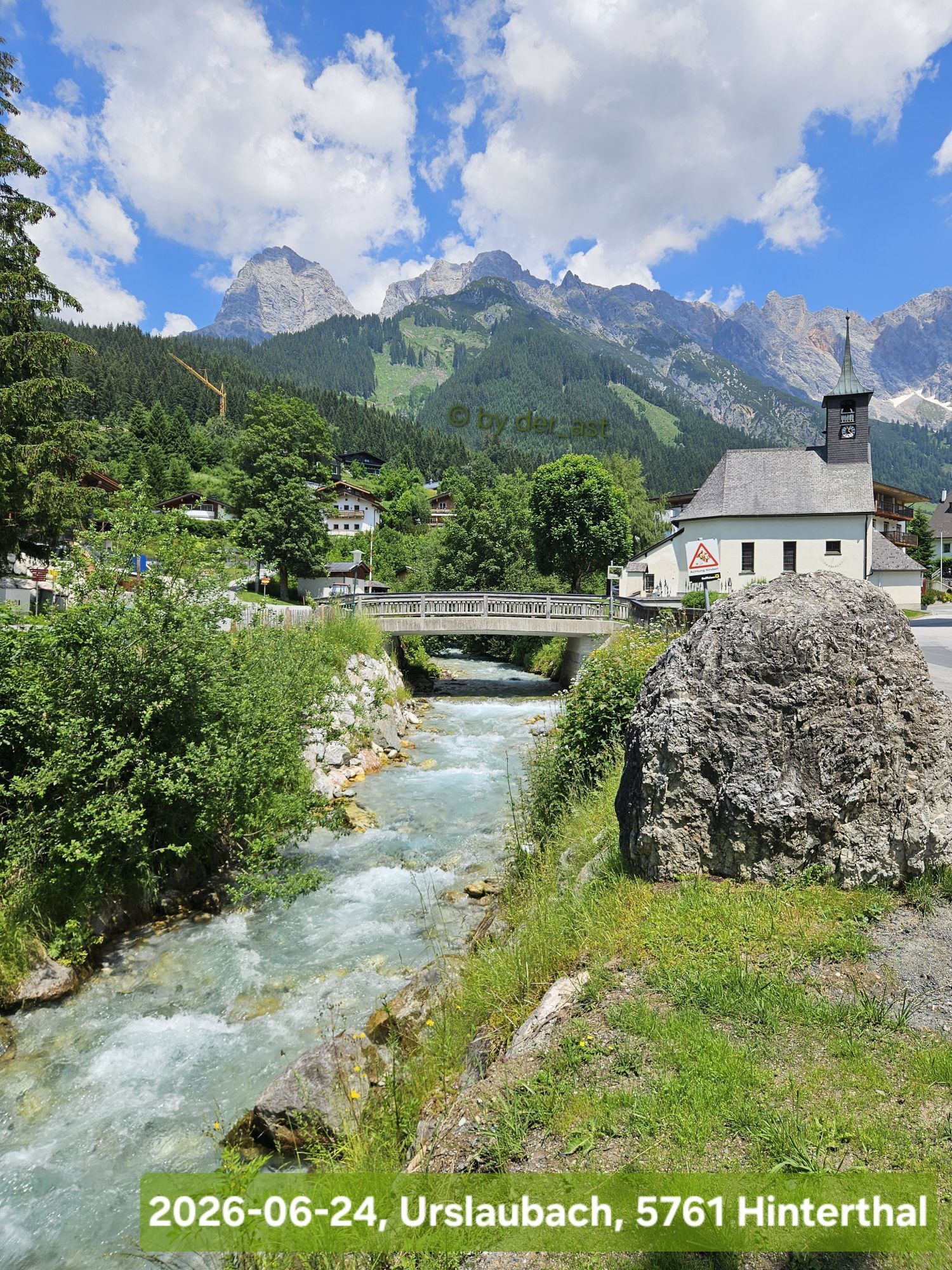
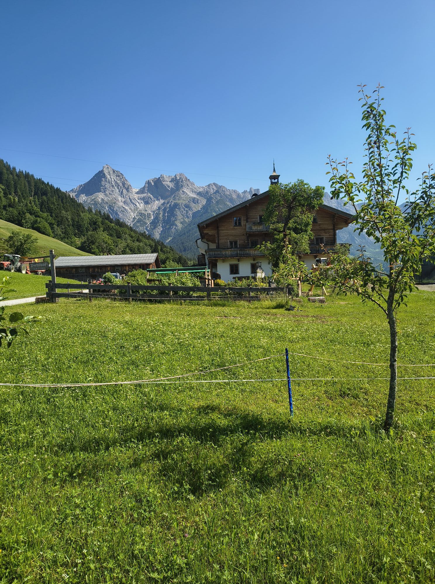
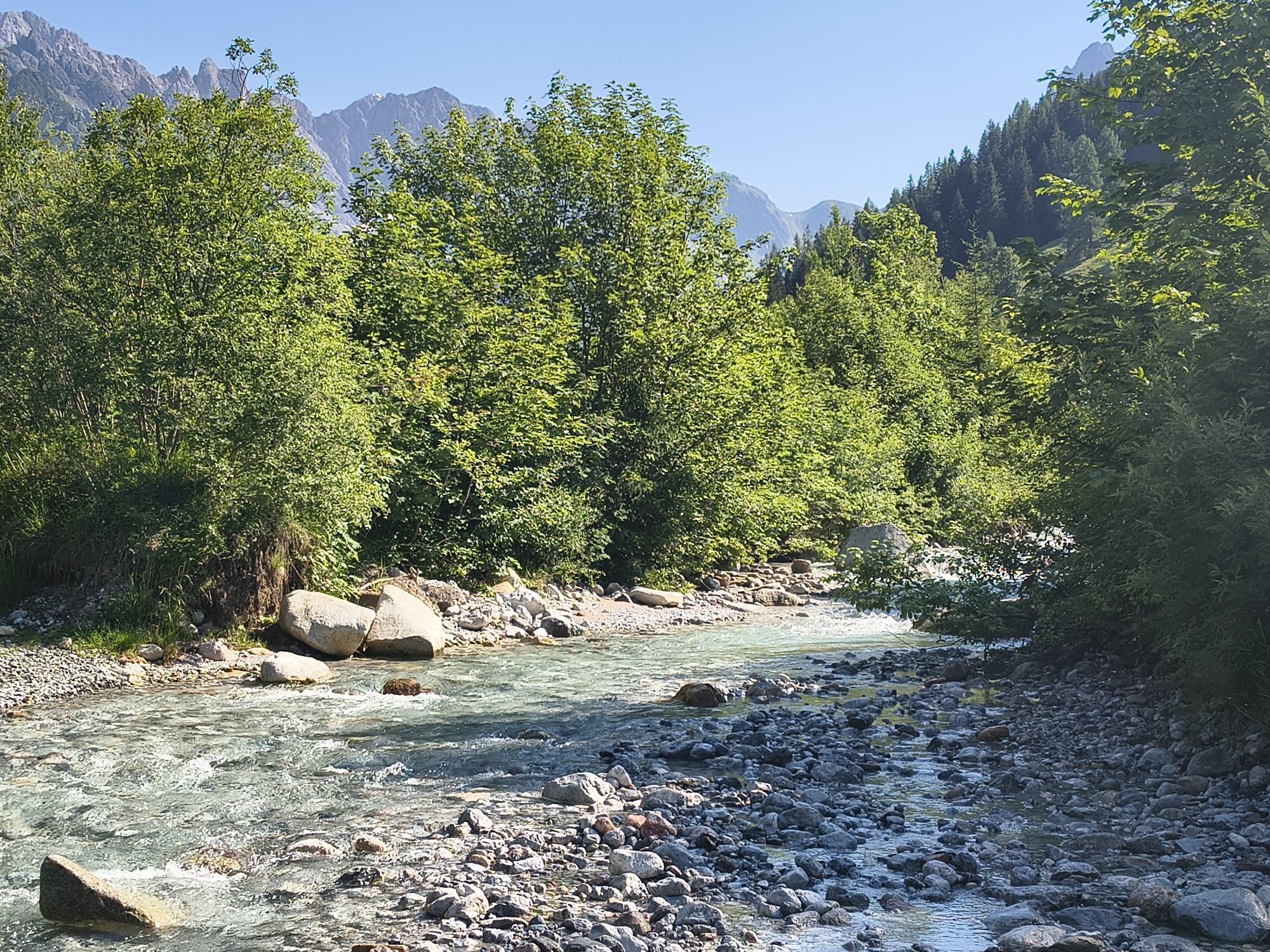
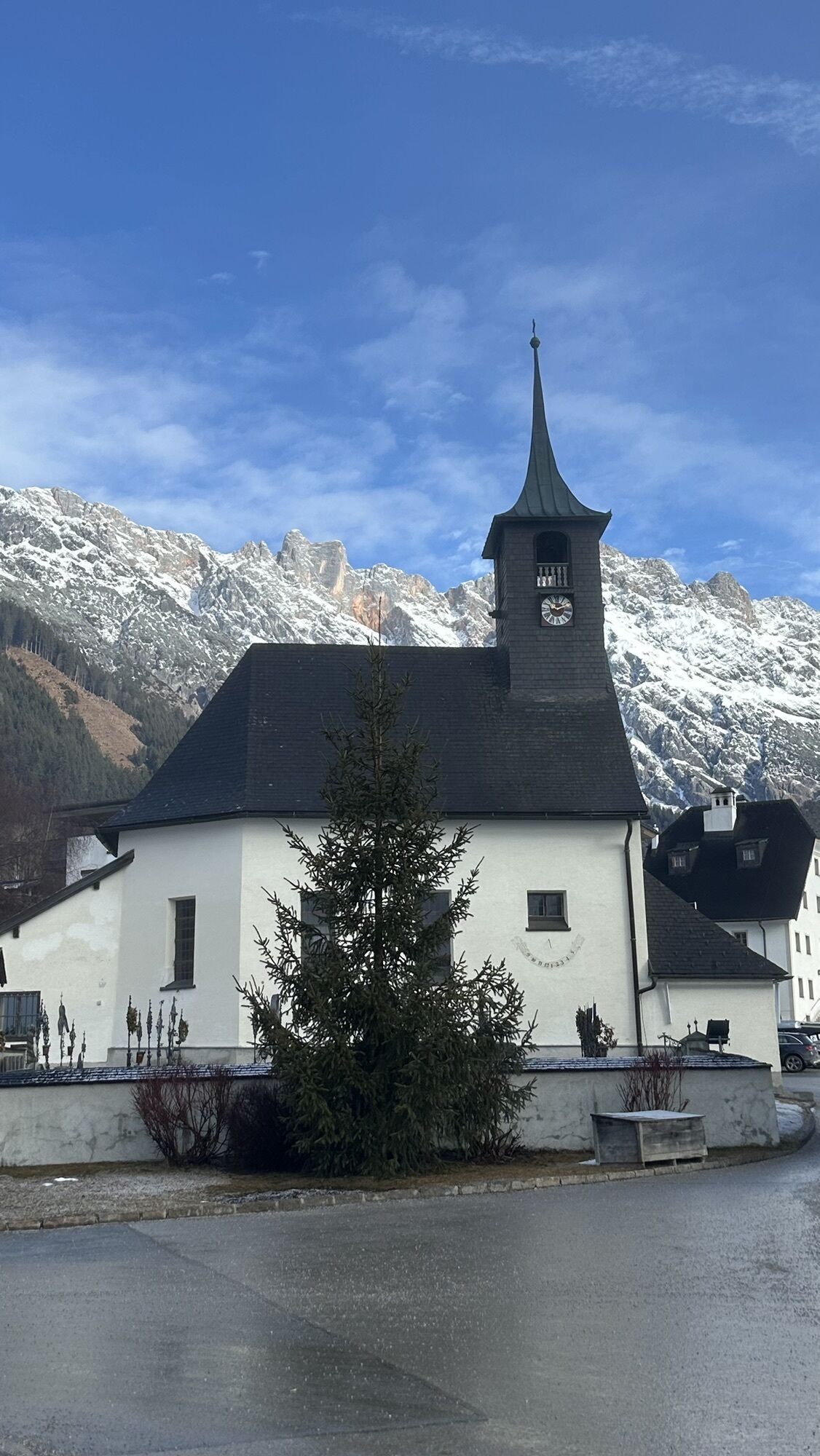
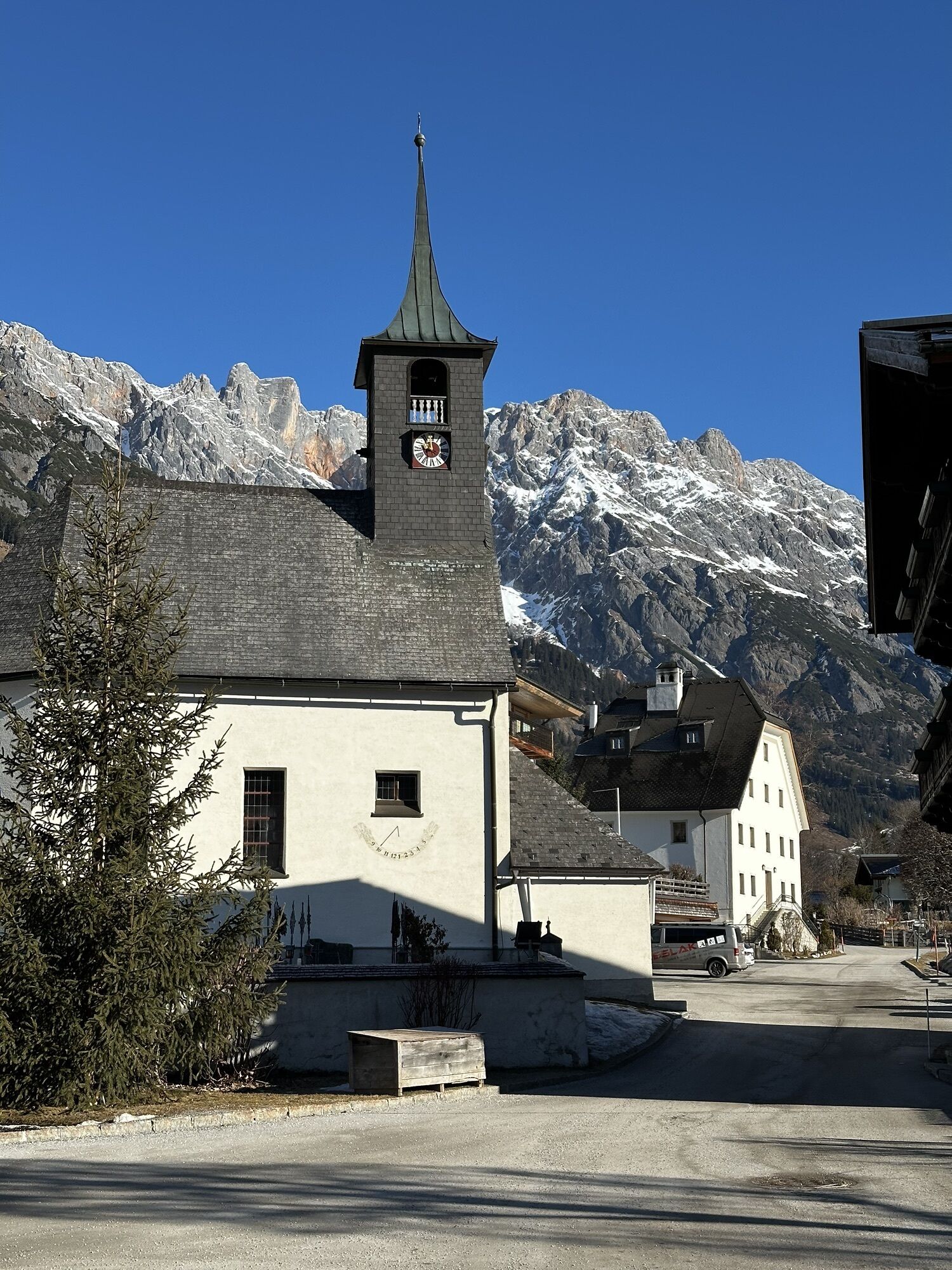
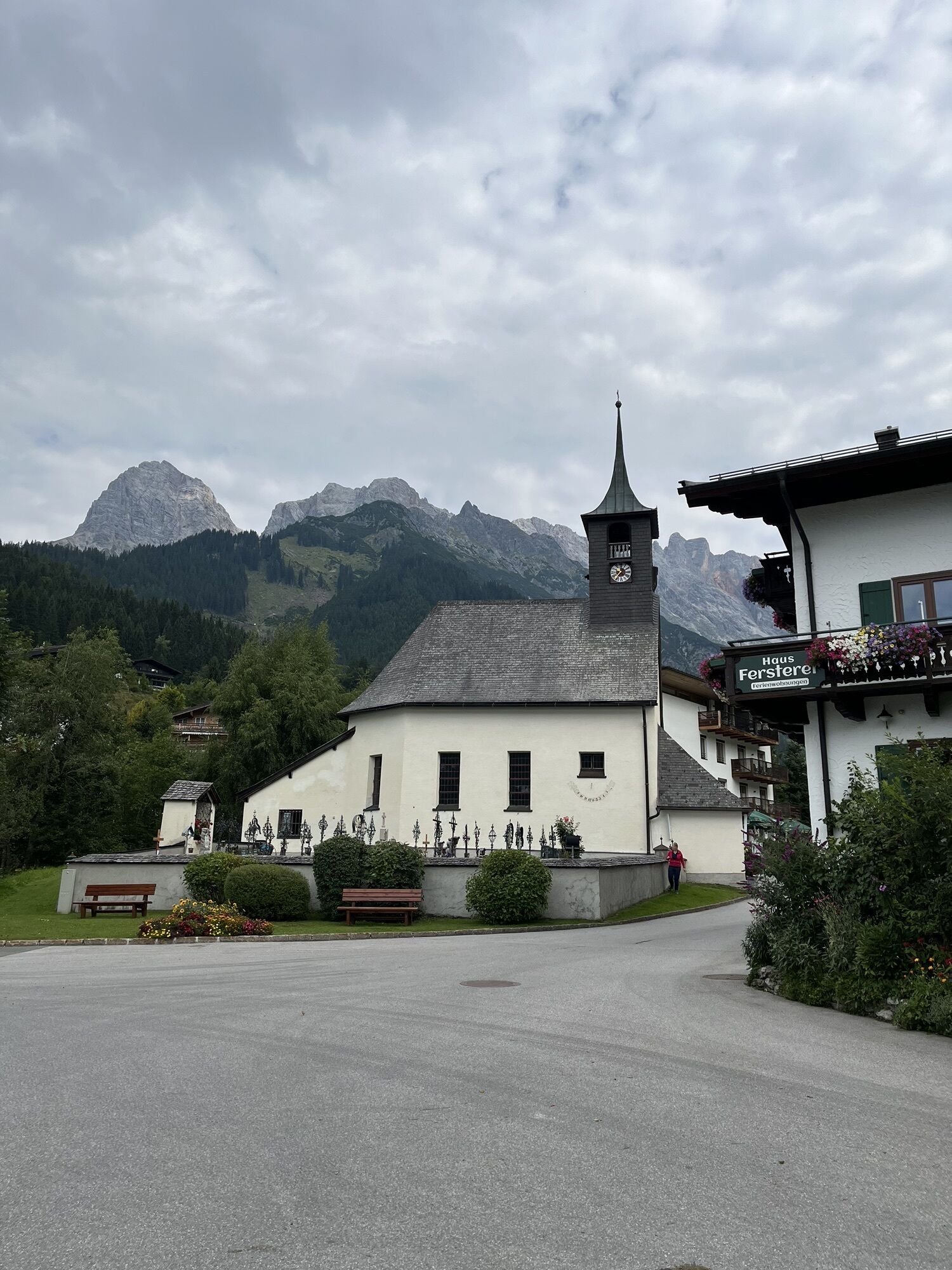
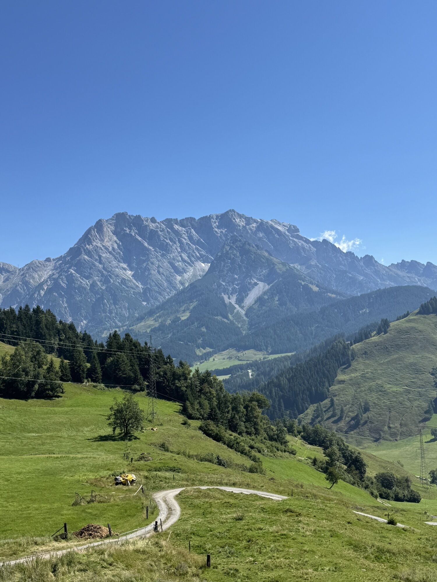
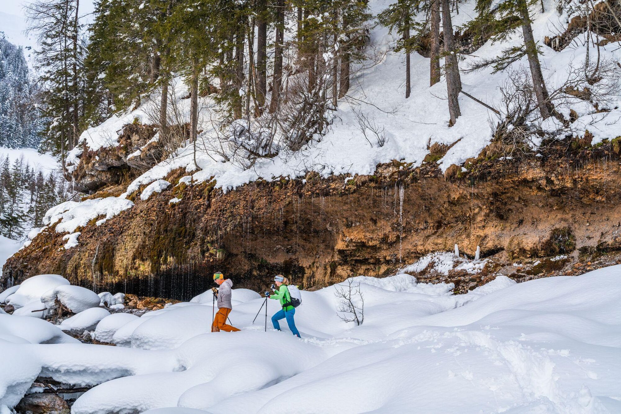
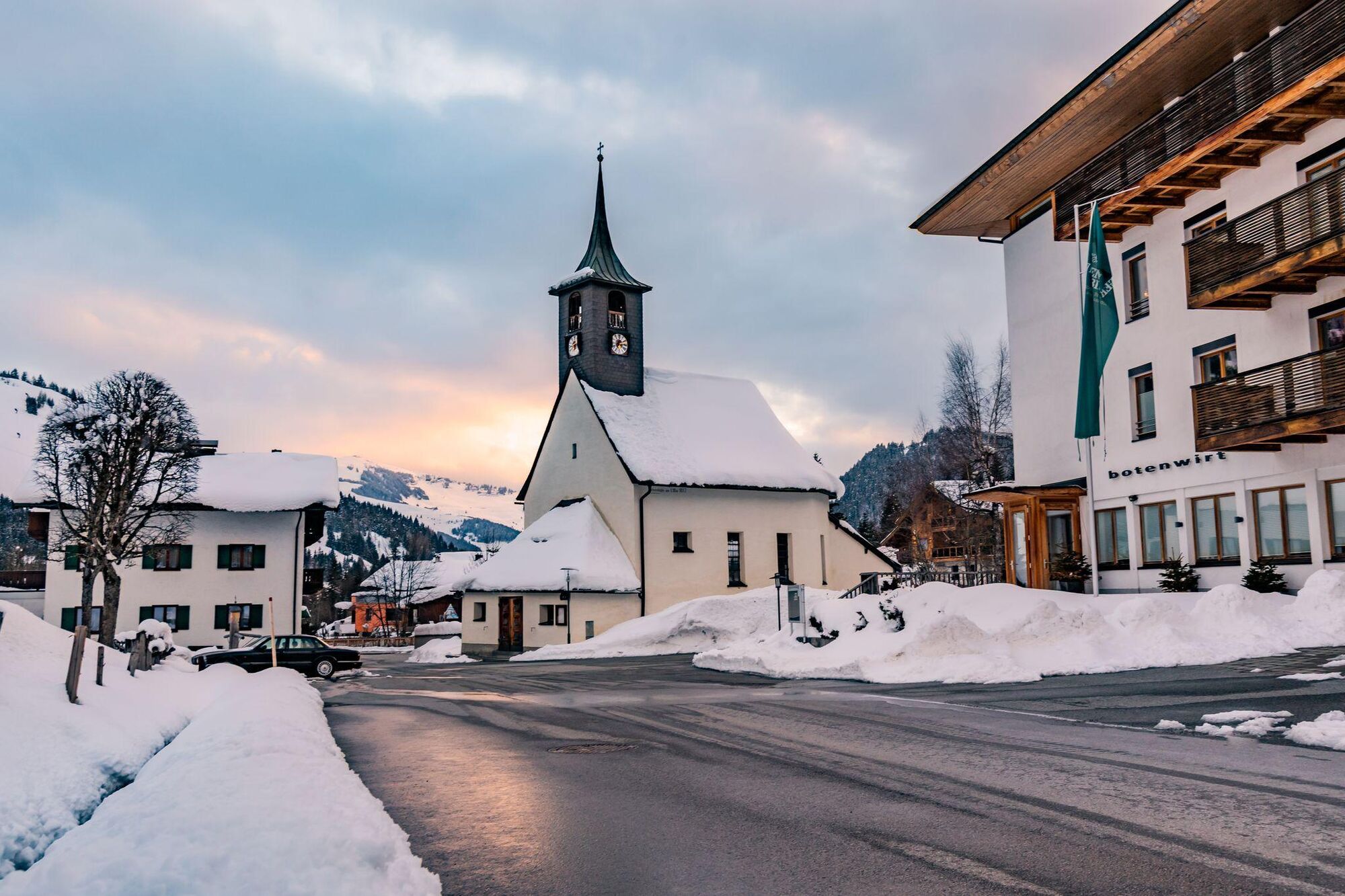
Refreshed, you then head downhill towards Hinterthal, passing idyllic farms and through snowy landscapes, always with the Hochkönig in view. In Hinterthal, follow the "Untere Sonnleiten" through a quiet residential area to the parish church of the Holy Trinity. From there, the path follows the right side of the Urslau brook to the Triefen.
Enjoy the peaceful winter landscape, the clear ice formations, and the roaring waterfall of the Triefen in the background – perfect moments for unforgettable photos!
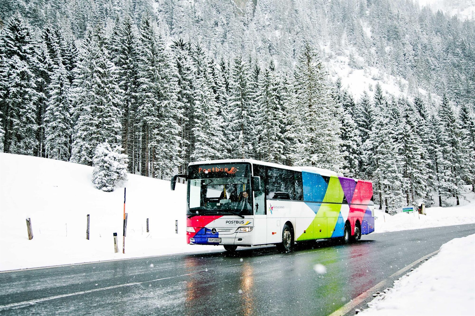
Return by the same route to the center of Hinterthal, where you take the ski bus back to your accommodation.
Arrival coming from Salzburg: Take the A10 motorway to the Bischofshofen exit, then on the B311 towards Bischofshofen. Follow the Hochkönig federal highway/B164 to Maria Alm.
Arrival coming from Innsbruck/Kufstein: Take the Loferer Straße/B178 towards St. Johann i.T., then via the Hochkönig federal highway/B164 via Saalfelden to Maria Alm.
A valid vignette is required for the use of the Austrian motorway and expressway network. Also, it is mandatory to carry a first aid kit, warning triangle, and safety vest. More information at Asfinag.
ÖBB-Scotty: timetable information
Bus line 620: timetable information
Ski bus: timetable information
Free parking available at the Hochmaisbahn parking lot or in the center of Hinterthal.
2
Further information on winter hikes and activities in the Hochkönig region:
For detailed information about hiking maps, opening hours of mountain lifts, as well as huts and alm in winter, we recommend visiting the service center on site. There you will not only get the hiking map but also valuable tips on the best winter hiking routes and current conditions.
Opening hours of mountain lifts in winter: The mountain lifts offer various opening hours during the winter months, which may vary depending on weather conditions and season. Please check the current operating times in advance.
Opening hours of huts & alm in winter: The huts and alm in the region are ideal rest stops for hikers. Here too, the opening hours can vary depending on the season and day of the week. Let the friendly hosts advise you about the offers and specialties on site.
For more information, please visit our website: www.hochkoenig.at.
If you have any questions or want to receive specific information, feel free to contact us:
Email: region@hochkoenig.at
Phone: +43 (0)6584 20388
We look forward to helping you and wish you lots of fun exploring the beautiful winter region Hochkönig!
Red deer watching at the Jufenalm.
Popularne wycieczki w okolicy
-
5,0
Königssee - Kärlinger-Haus
Wędrówka 10,1 km -
4,2
Maria Alm - Riemannhaus
Wędrówka 3,99 km -
4,8
Summit stormer route Lauskopf
ciężkiWędrówka 8,16 km -
4,8
Summit storming route Taghaube
ciężkiWędrówka 6,25 km -
4,7
Panorama hike to the Hochkeil
średniWędrówka 6,07 km -
4,7
About the "Four Huts circular route" to Windraucheggalm
średniWędrówka 10,1 km -
4,6
Steinalm
światłoWędrówka 2,71 km -
4,3
Schwalbenwand Nr. 80, 81, 82
średniWędrówka 13,0 km -
4,4
Peter-Wiechenthaler Hut
średniWędrówka 4,32 km -
4,8
Hochkönig - Gipfel der Gefühle - Matrashaus
ciężkiWędrówka 20,9 km
Wędrówki i tropienie


Nie przegap ofert i inspiracji na następne wakacje
Twój adres e-mail została dodana do listy mailingowej.