






Winter hiking circular route Hochmais
Poziom trudności: 1
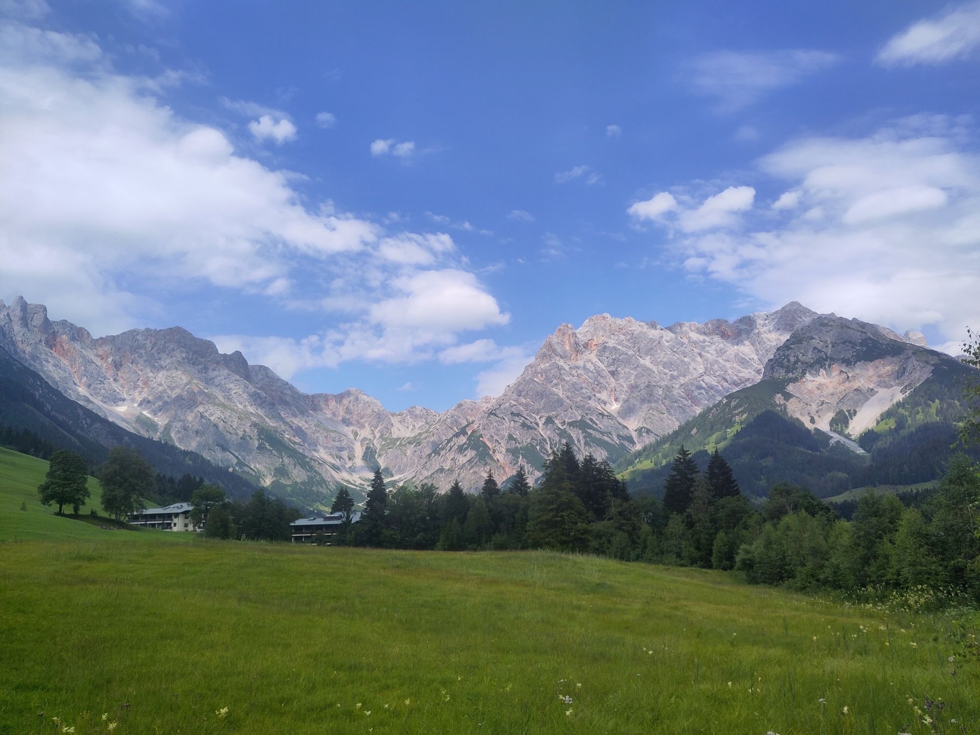
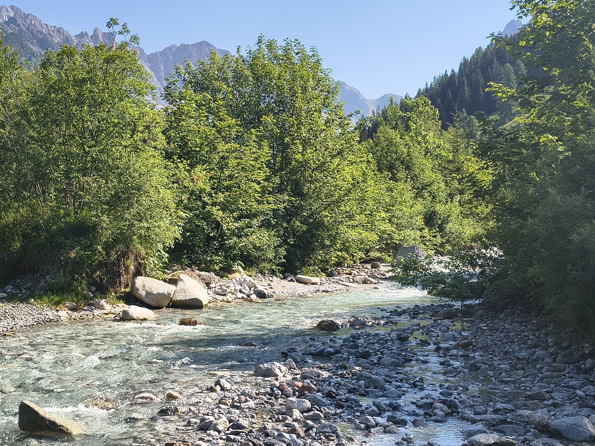
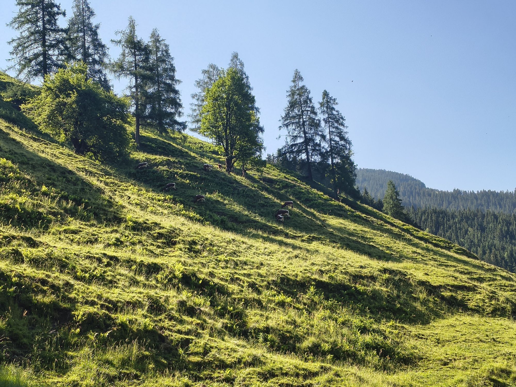
Winter hike from the Hochmaisbahn to Hinterthal. Start your winter adventure at the Hochmaisbahn and follow the scenic winter hiking trail that winds along the idyllic stream of the Urslau. The fresh,...
Winter hike from the Hochmaisbahn to Hinterthal. Start your winter adventure at the Hochmaisbahn and follow the scenic winter hiking trail that winds along the idyllic stream of the Urslau. The fresh, clear mountain air and the snow-covered landscape provide the perfect setting for your sporty hike. After about 30 minutes, you reach an important point: the federal road. Be careful and look both ways before safely crossing to the other side. Here begins the next stage of your hike, leading you along the slope. Leave the stress of everyday life behind and enjoy the peace of the winter nature around you. The path takes you through an impressive landscape that enchants with winter magic step by step. Stop often to enjoy the breathtaking views of the surrounding mountains and snow-covered forests – this is the perfect motivation to keep going. Finally, the hiking trail brings you back to your starting point in Hinterthal. The way back is not only a sporting challenge but also a wonderful opportunity to fully experience the beauty of nature. Get ready for an unforgettable winter adventure!

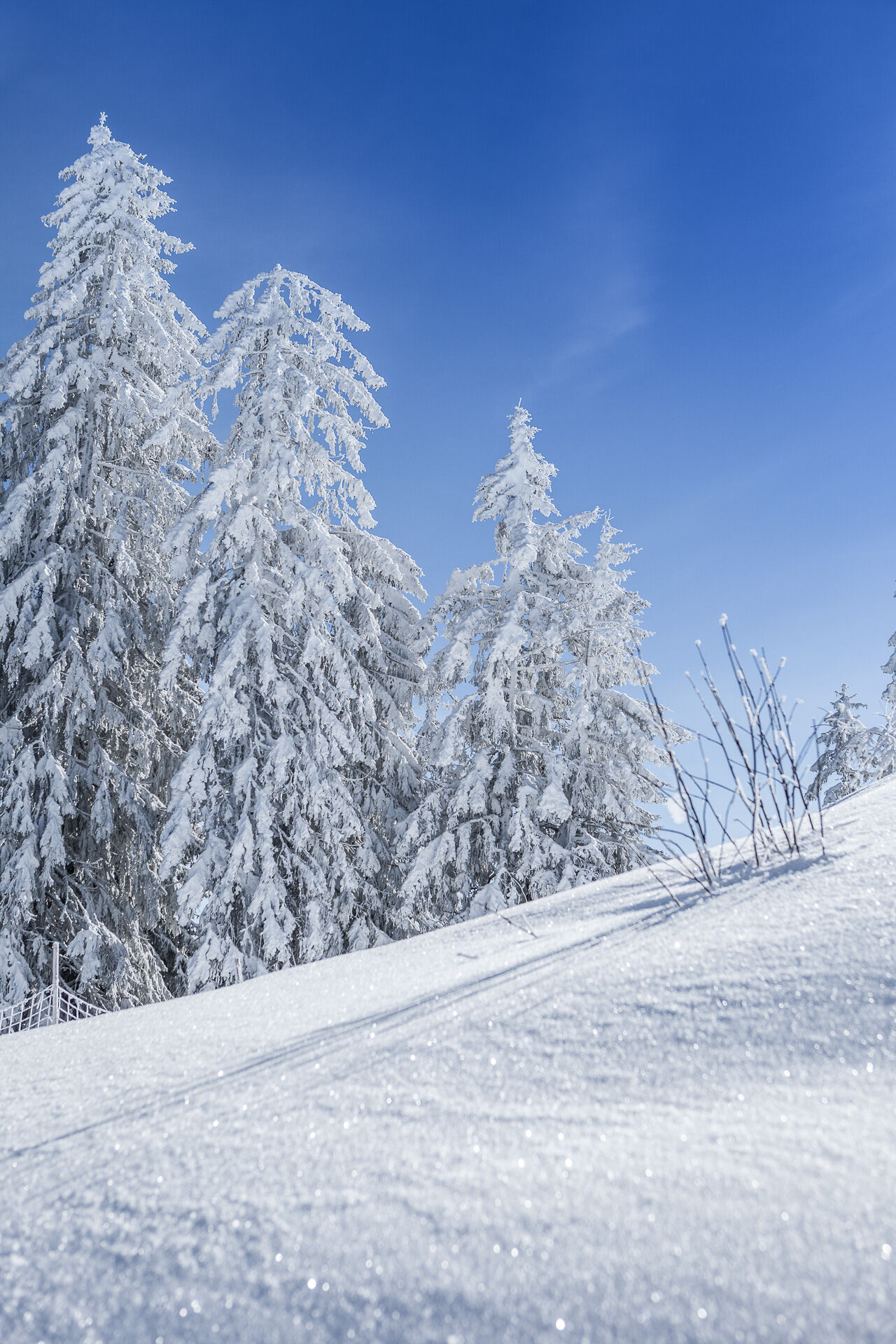
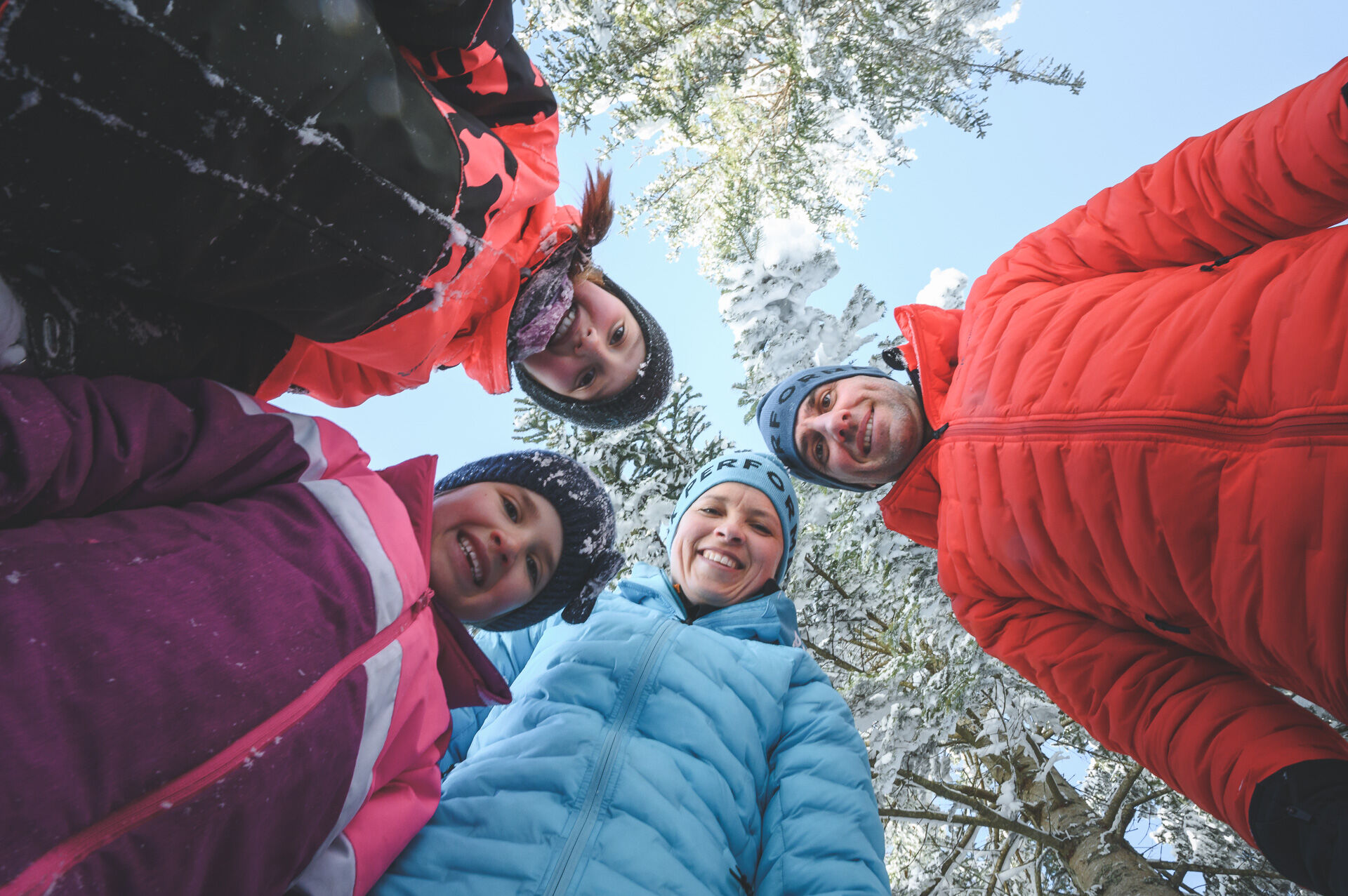
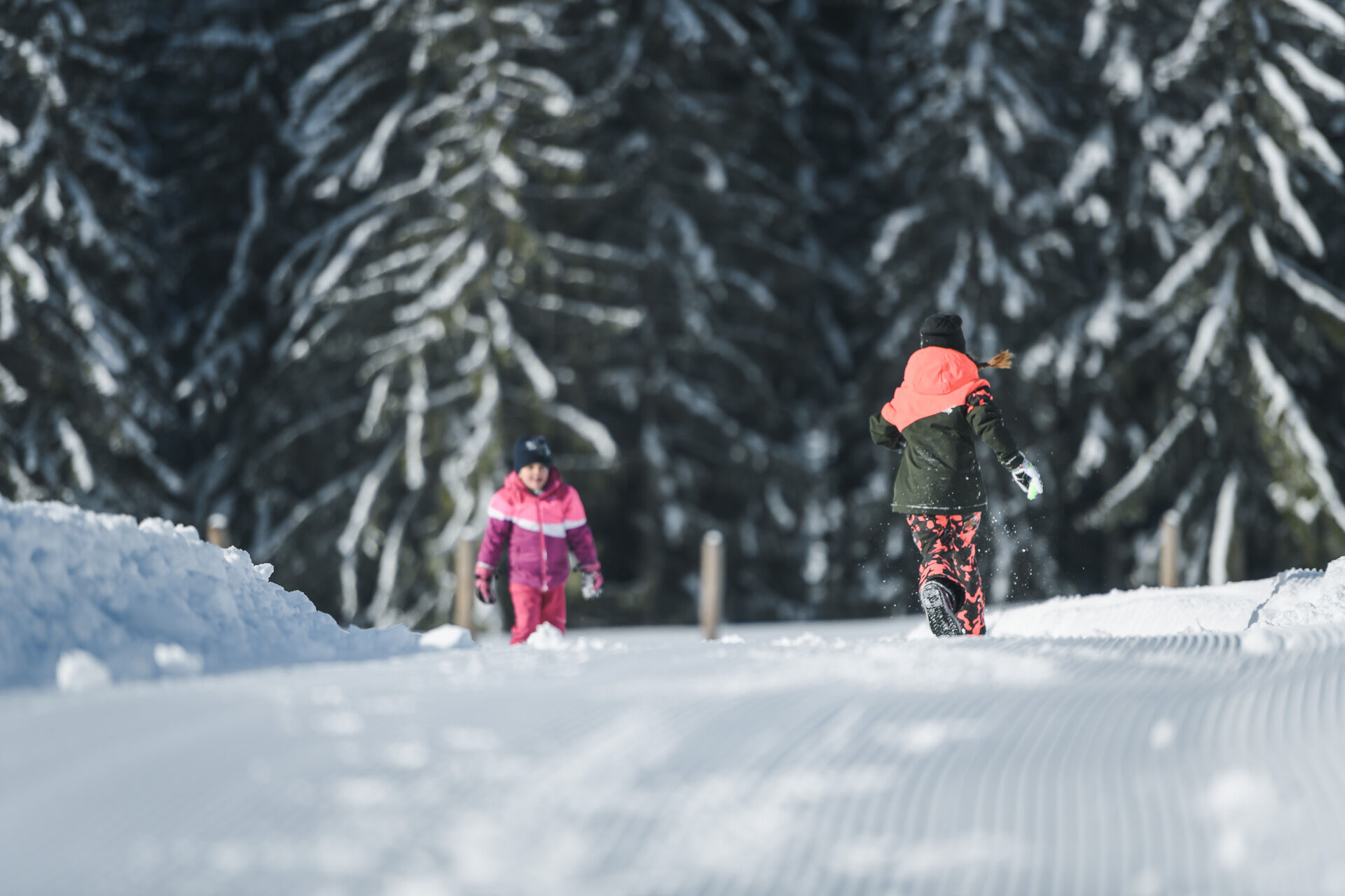
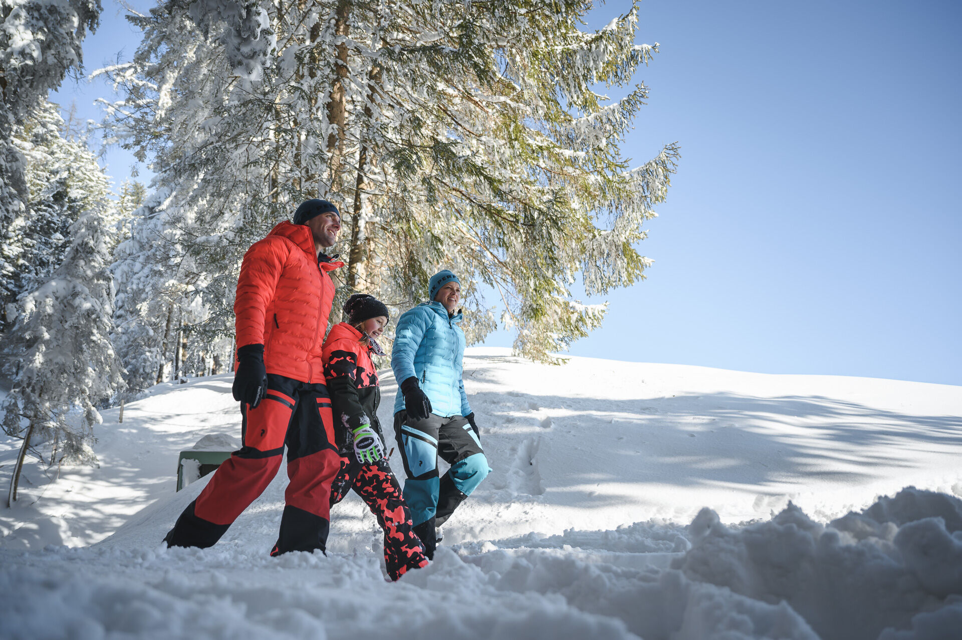

Start at the Hochmaisbahn. Follow the idyllic winter hiking trail that runs along the stream of the Urslau. Enjoy the fresh mountain air and the beautiful winter landscape around you. After about 30 minutes, you will notice the path ends. Be careful and cross the federal road. Make sure no vehicles are coming before you cross the road. After reaching the opposite side, continue your way. Follow the path along the slope and enjoy the view. The hiking trail will eventually bring you back to your starting point in Hinterthal.
Tak
Tak
Clothing: warm, layered clothing, hat, gloves, non-slip boots
Equipment: daypack, hiking poles, headlamp, possibly crampons or snowshoes
Safety & navigation: mobile phone, map/GPS, first aid kit, whistle
Food and drink: water, snacks, thermos flask
Optional: sunglasses, sun cream, seat pad
Check the weather: Obtain the latest weather and avalanche reports before setting off.
Wear the right clothing: Layers, waterproof, warm, with a hat, gloves and non-slip boots.
Equipment: Walking sticks, head torch, map/GPS, mobile phone, first aid kit. In case of ice or snow, possibly snowshoes or crampons.
Consider your fitness level: Adjust your pace to suit your fitness level.
Make use of daylight: Winter days are short – allow enough time.
Avoid slipping: Walk carefully, use poles and non-slip soles.
Food and drink: Take water, warm drinks and snacks with you.
Emergency plan: Tell someone your route and have emergency numbers to hand.
Respect nature: stay on the paths, avoid avalanche and wildlife protection areas.
Arrival coming from Salzburg: Take the A10 motorway to the Bischofshofen exit, then take the B311 towards Bischofshofen. Follow the Hochkönig federal road/B164 to Maria Alm.
Arrival coming from Innsbruck/Kufstein: Take the Loferer Straße/B178 towards St. Johann i.T., then take the Hochkönig federal road/B164 via Saalfelden to Maria Alm.
A valid vignette is required for the use of the Austrian motorway and expressway network. Carrying a first aid kit, warning triangle and safety vest is also mandatory. More info at Asfinag.
ÖBB-Scotty: timetable information
Bus line 620: timetable information
Ski bus: timetable information
Free parking at the Hochmaisbahn parking lot or at the church in Hinterthal
1
Further information on winter hikes and activities in the Hochkönig region:
For detailed information on hiking maps, the opening hours of the mountain railways and the huts and alpine pastures in winter, we recommend visiting the local service centre. There you will not only receive a hiking map, but also valuable tips on the best winter hiking routes and current conditions.
Opening hours of the mountain railways in winter: The mountain railways offer different opening hours during the winter months, which can vary depending on weather conditions and the season. Please check the current operating hours in advance.
Opening hours of huts and alpine pastures in winter: The huts and alpine pastures in the region are ideal rest stops for hikers. Here, too, opening hours may vary depending on the season and day of the week. Ask the friendly hosts for advice on what's on offer and local specialities.
For further information, please visit our website: www.hochkoenig.at.
If you have any questions or would like specific information, please feel free to contact us:
Email: region@hochkoenig.at
Telephone: +43 (0)6584 20388
We look forward to helping you and hope you enjoy exploring the beautiful Hochkönig winter region!
CAUTION: Be careful when crossing the federal road.
Uzyskaj wgląd
Zawsze na żywo z ponad 9 500 kamer internetowych. bergfex Jako użytkownik Pro, możesz teraz zobaczyć odpowiednie kamery internetowe dla wielu wycieczek w aplikacji wycieczki od. Pozwala to na bezpośredni podgląd aktualnych warunków.
Popularne wycieczki w okolicy
-
4,8
Königssee - Kärlinger-Haus
Wędrówka 10,1 km -
4,4
Maria Alm - Riemannhaus
Wędrówka 3,99 km -
4,8
Summit stormer route Lauskopf
ciężkiWędrówka 8,16 km -
4,8
Summit storming route Taghaube
ciężkiWędrówka 6,25 km -
4,7
About the "Four Huts circular route" to Windraucheggalm
średniWędrówka 10,1 km -
4,6
Panorama hike to the Hochkeil
średniWędrówka 6,07 km -
3,6
Wanderung zur Ostpreußenhütte in Werfen (1.630 m)
średniWędrówka 11,2 km -
4,6
Steinalm
światłoWędrówka 2,71 km -
4,3
Schwalbenwand Nr. 80, 81, 82
średniWędrówka 13,0 km -
4,4
Peter-Wiechenthaler Hut
średniWędrówka 4,32 km
Wędrówki i tropienie


Nie przegap ofert i inspiracji na następne wakacje
Twój adres e-mail została dodana do listy mailingowej.





