






Winter hiking trail Faistenau - Hamoosau
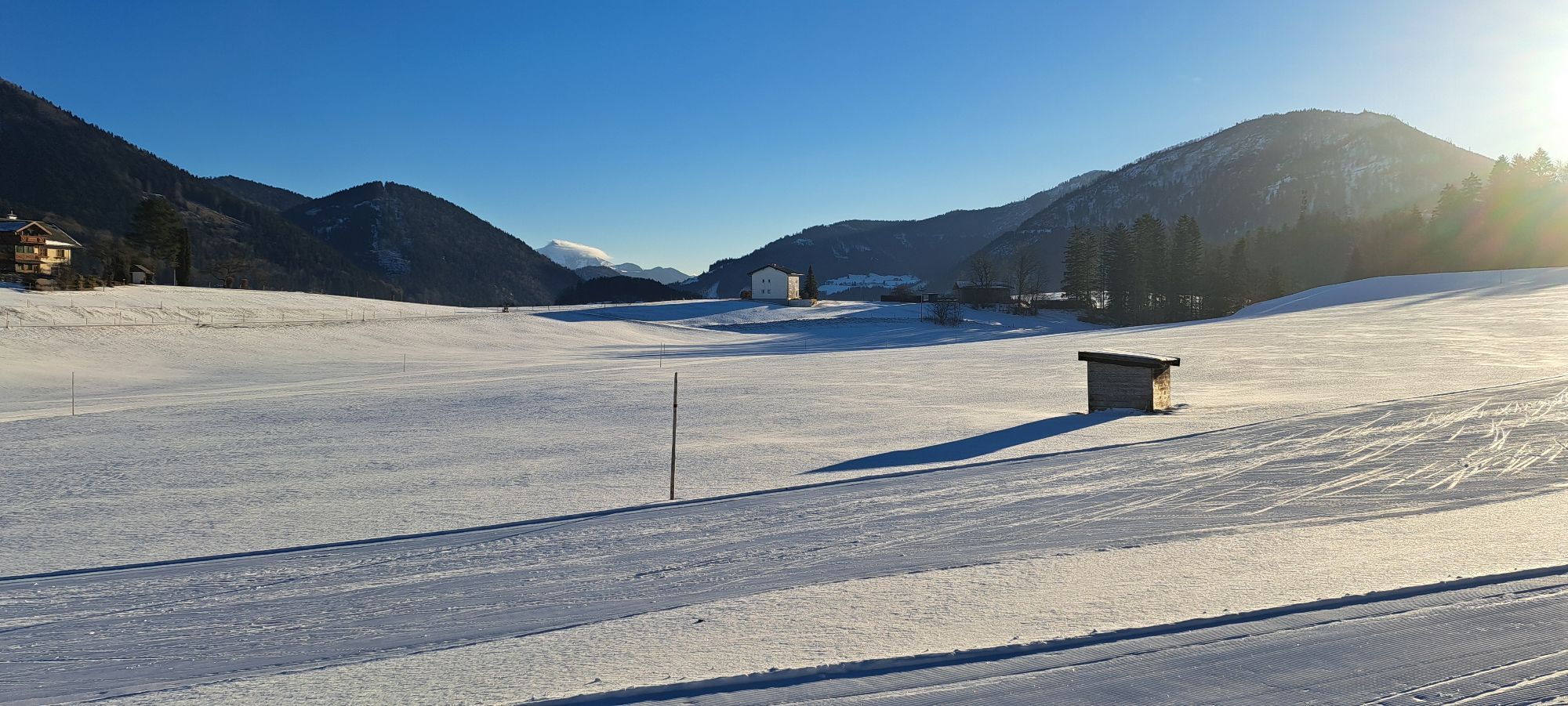


Faistenau is a true paradise for cross-country skiers. The network of trails extends from the floodlit trail at Kugelberg to the romantic Tiefbrunnau. Winter walkers are also considered, who may use marked...
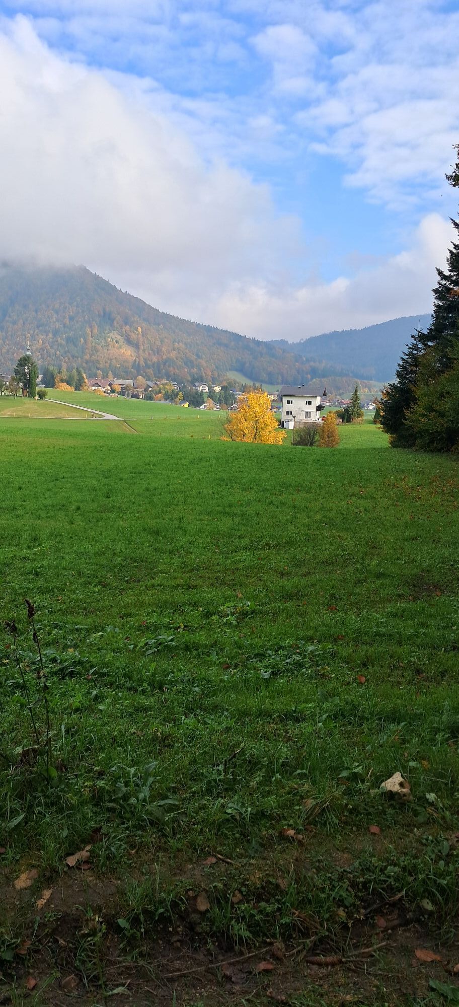
Faistenau is a true paradise for cross-country skiers. The network of trails extends from the floodlit trail at Kugelberg to the romantic Tiefbrunnau. Winter walkers are also considered, who may use marked sections along the trails. The best-known winter hiking route is the one-hour, continuously marked panorama trail. One access point is at the Faistenau Schule stop. Even when there is too little snow for accompanying trail walks, there are great winter hiking trails around Faistenau. One such is the eight-kilometer loop around the district of Hamoosau, which changes from the shaded side of Kugelberg to the sunny side. Because it also crosses ditches, it involves a fair amount of elevation gain. The circular route runs on cleared forestry and hiking paths as well as along access roads.


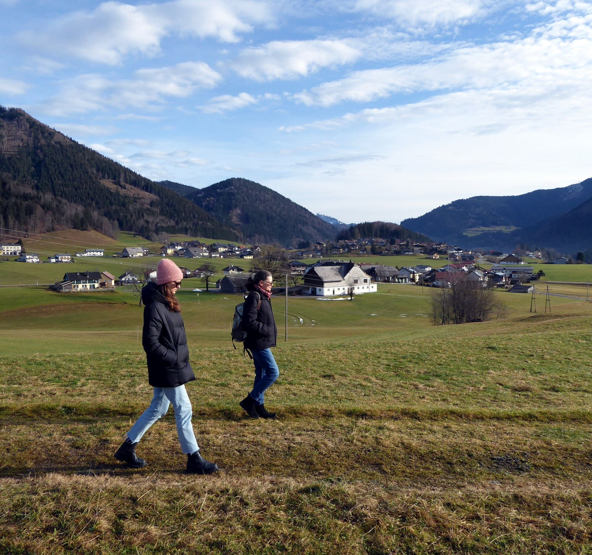
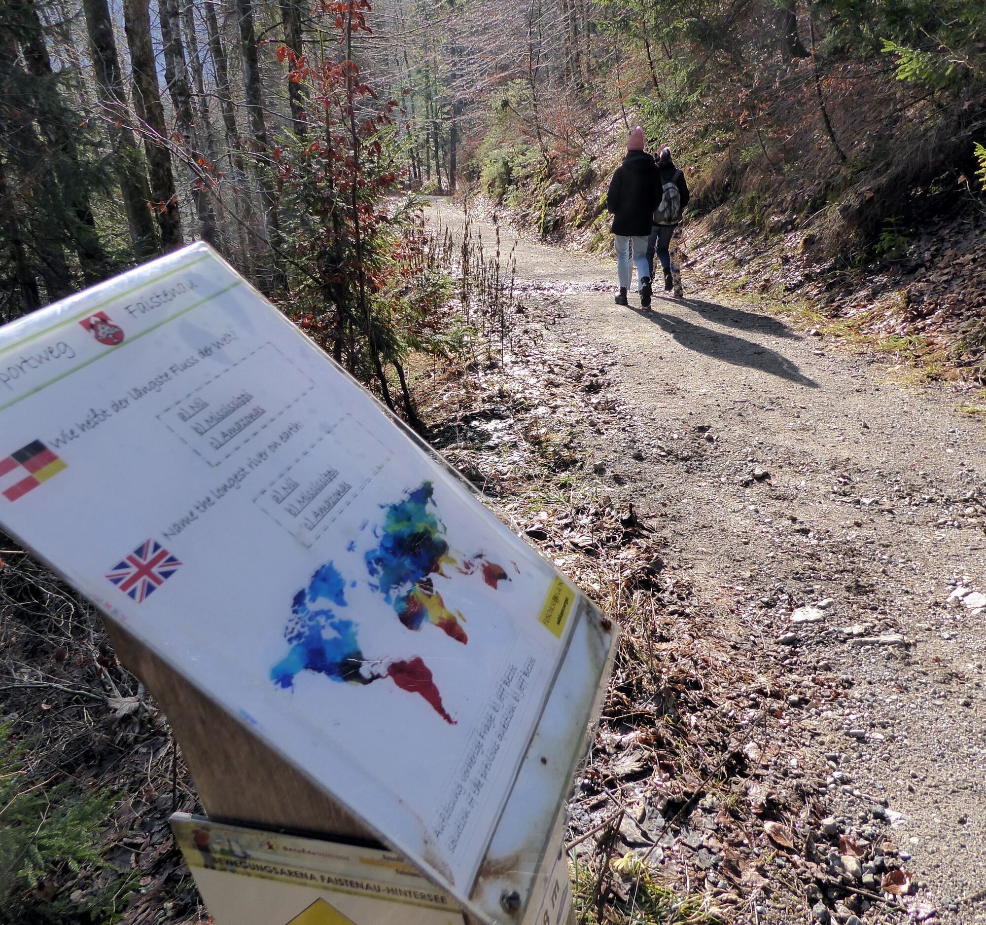
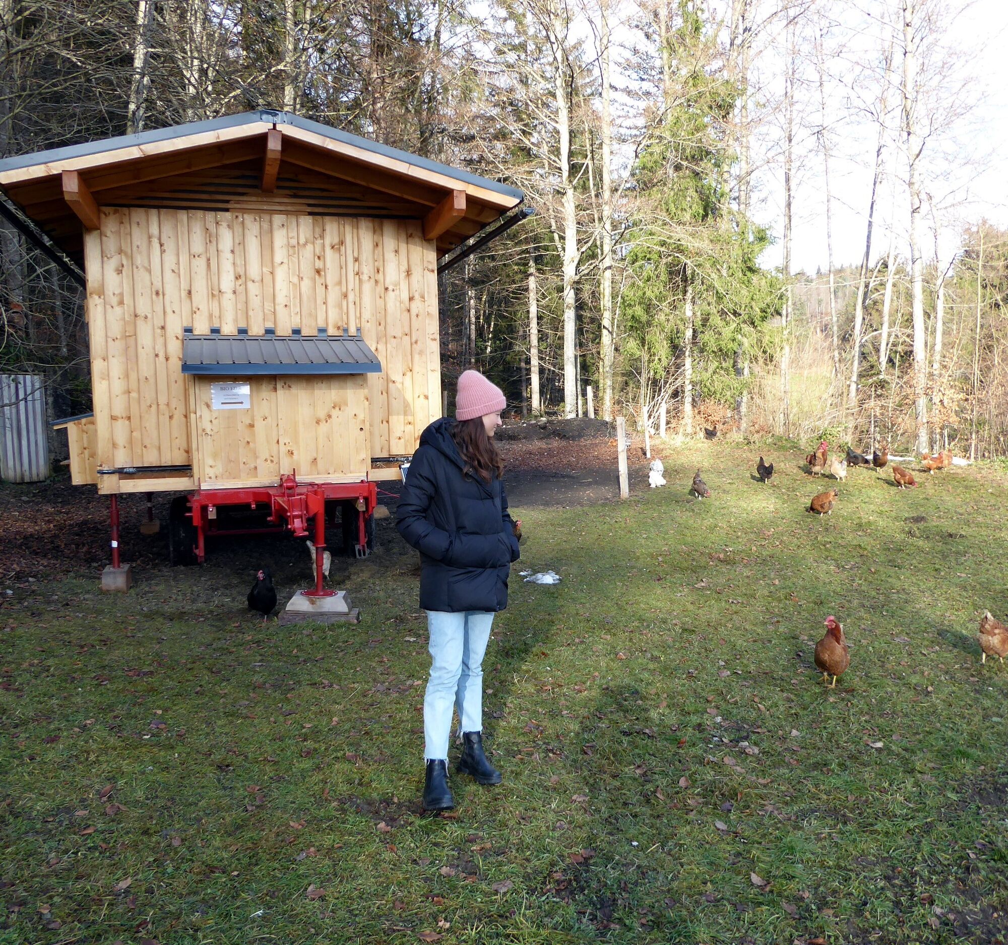
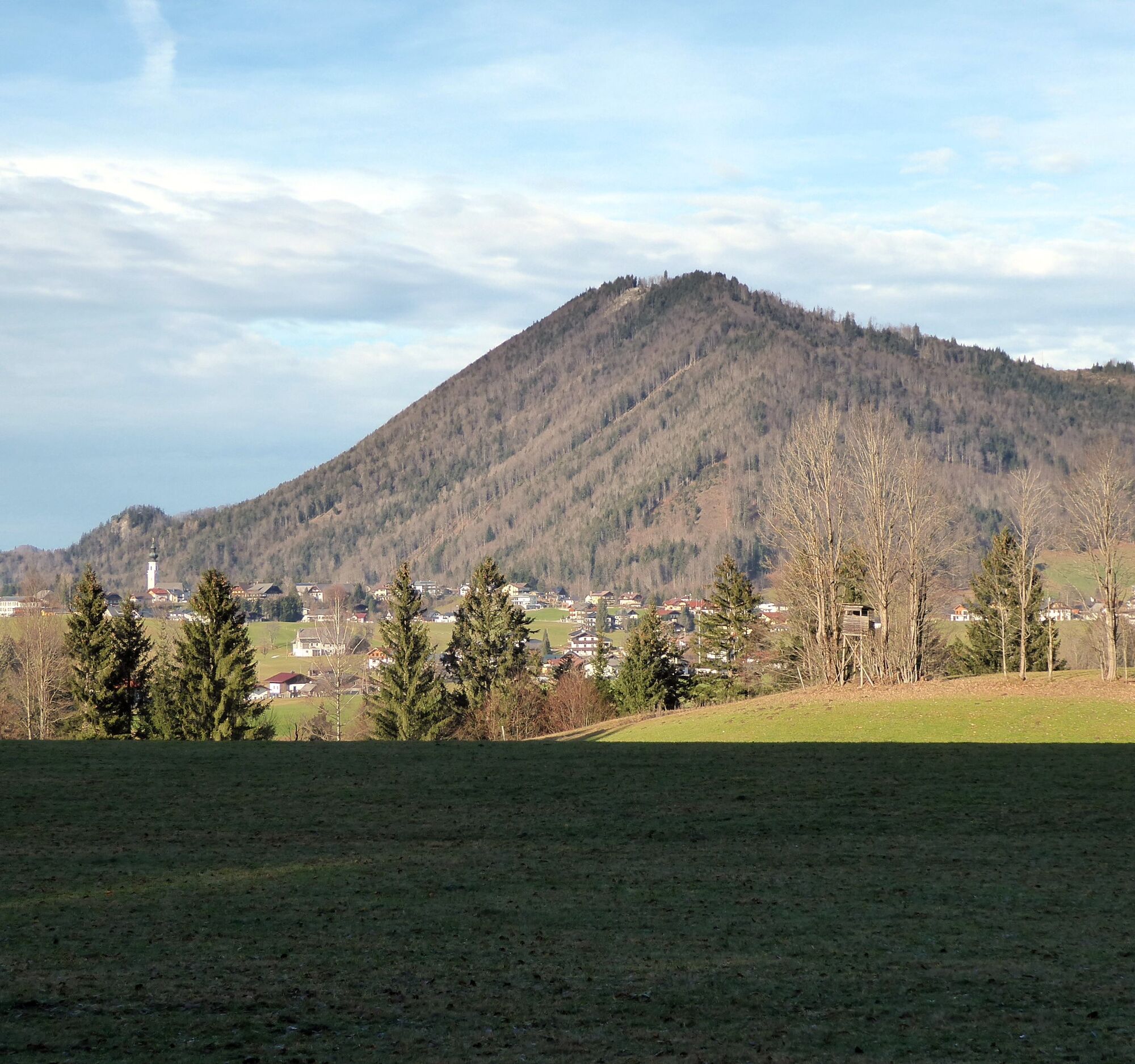
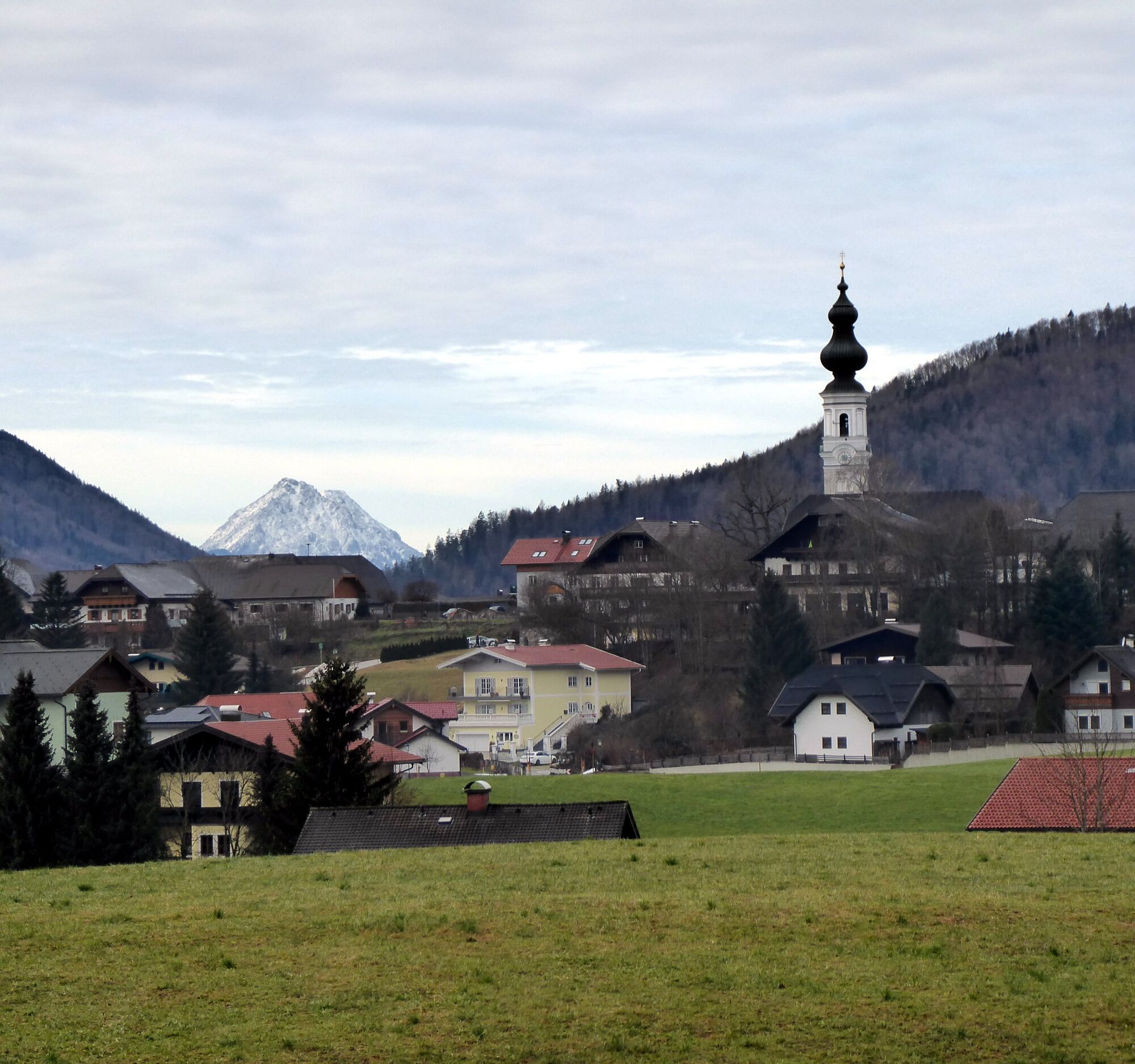


The starting point is the bus stop Faistenau Schule. From there, past the school and the trail entrance to the former Bramsaubräu and slightly above to the left, follow the Kugelberg circular trail. A short 40-minute variant branches off after 700 m downhill to the left onto Bichlstraße and follows it on the right side to Lohstraße, along which it returns to the village. The large loop leads on the Kugelberg circular trail with many quiz questions to a flock of happy chickens including a sales stand, shortly afterwards the path branches left towards Hintersee, crosses the state road at the Fischerwirt in Vordersee and now follows the signposting 46 “Faistenau via Hamoosau”. After the forest section, it goes up to the state road in Hamoosau (return travel possible from Hamoosau bus stop with bus 157), along it 300 m to the left and then uphill to the right into the Hochfeld settlement. Kathi's Flower Cafe could be a reason for a stopover, but our route diverges at the upper end of the Hochfeld settlement first to the left into Hausernweg, then after 200 m to the right into Kreuzbichlweg and finally left again into Ramsaustraße. After crossing the state road, the loop closes in the direction of Faistenau via Kirchenweg.
From Salzburg Main Station South Tyrol Square by bus 155 to Faistenau Schule (final stop).
Timetable information and download: Online at www.salzburg-verkehr.at or on your smartphone via the free Salzburg Verkehr app for Android and iOS.
www.fuschlseeregion.com; www.langlaufdorf.at;
Mag. Christian Heugl
5400 Hallein
Photo credit: Christian Heugl
Appreciate local treasures: Products from the Wucherpoint organic farm on Kugelbergrundweg and fine treats at Kathi's Flower Cafe (www.kathis-blumencafe.com) in the district of Hochfeld.

Kamery internetowe z trasy
Uzyskaj wgląd
Zawsze na żywo z ponad 9 500 kamer internetowych. bergfex Jako użytkownik Pro, możesz teraz zobaczyć odpowiednie kamery internetowe dla wielu wycieczek w aplikacji wycieczki od. Pozwala to na bezpośredni podgląd aktualnych warunków.


Popularne wycieczki w okolicy
-
4,8
Fuschl: Ruine Wartenfels - Schober - Frauenkopf
średniWędrówka 7,62 km -
4,2
Fuschlseewanderung
światłoWędrówka 11 km -
4,1
Pillstein Panorama Rundweg
światłoWędrówka 3,40 km -
4,9
Pleasure hike over the Falkenstein
średniWędrówka 9,81 km -
3,6
Mondsee: Rund um den Mondsee
światłoJazda na rowerze 26,3 km -
4,4
From Koppl to the Gaisberg summit
średniWędrówka 9,86 km -
4,8
Schober -Aussichtsplattform mit Seensicht
ciężkiWędrówka 2,65 km -
4,8
Gennerhorn über Lämmerbach
średniWędrówka 10,2 km -
4,8
Schafberg ab Winkl nahe Sankt Gilgen, Österreich
średniTrailrunning 6,12 km -
4,8
Salzkammergut: Die Drachenwand
ciężkiVia ferrata 4,32 km
Wędrówki i tropienie


Nie przegap ofert i inspiracji na następne wakacje
Twój adres e-mail została dodana do listy mailingowej.





