







Unterberghaus/Knappenstube
Poziom trudności: 3
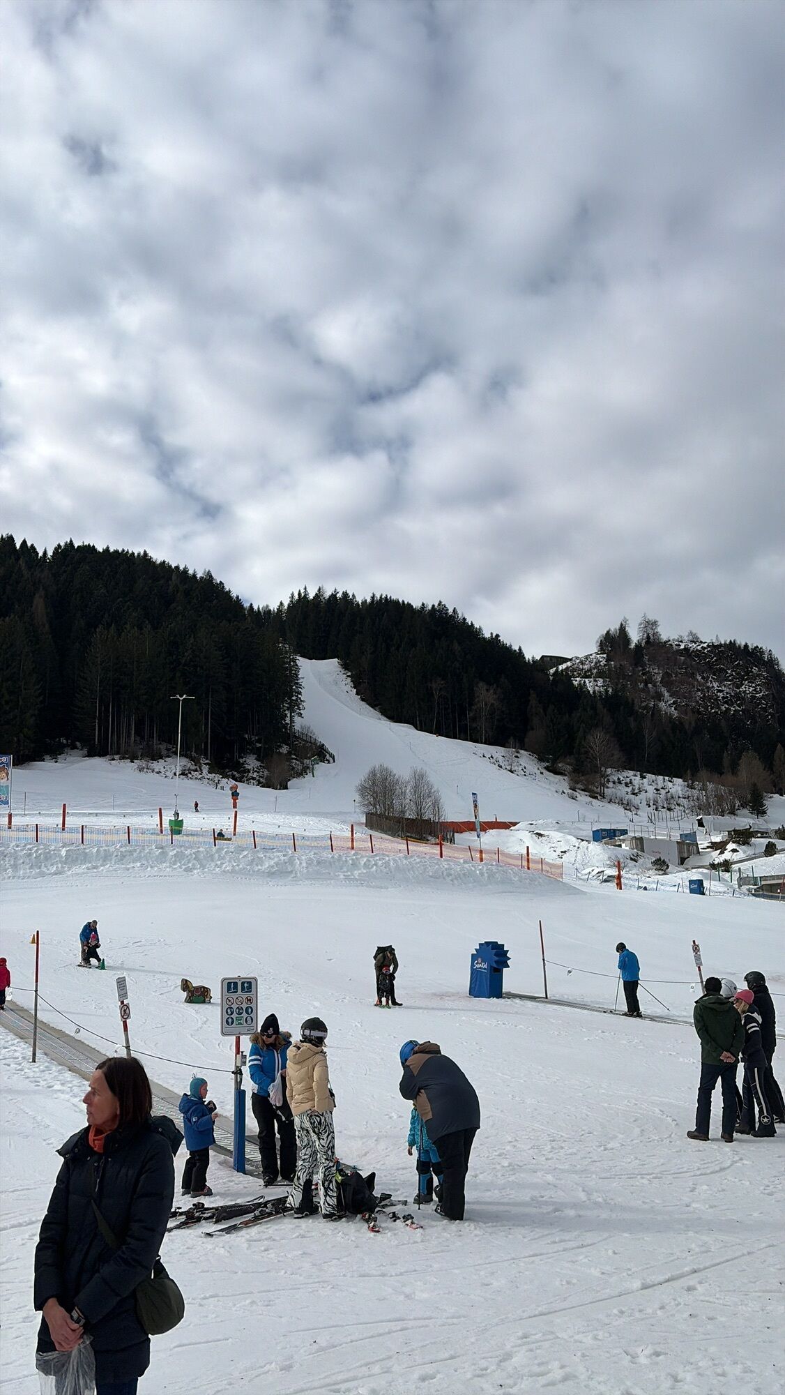
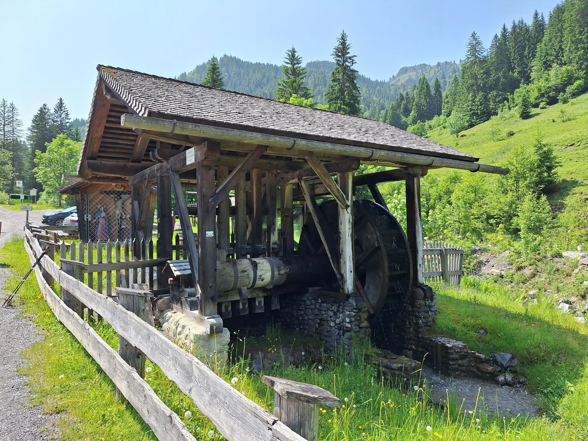
The starting point is the car park by the Asitz cable cars in Leogang. Continue towards the huts. Before the bridge to the Hütt chapel, follow the left side along the Leoganger Ache and past the farm....
The starting point is the car park by the Asitz cable cars in Leogang. Continue towards the huts. Before the bridge to the Hütt chapel, follow the left side along the Leoganger Ache and past the farm. After about 400 meters, cross the small bridge to the road. Continue on the road downhill to the Unterberghaus/Knappenstube/show mine (approx. 3 km). Return via the same route or by horse-drawn carriage.
Walking time: approx. 1.5 h (one way)/ 4 km
Refreshment options: Unterberghaus/Knappenstube, Hüttwirt or at the inns near the Asitz cable cars

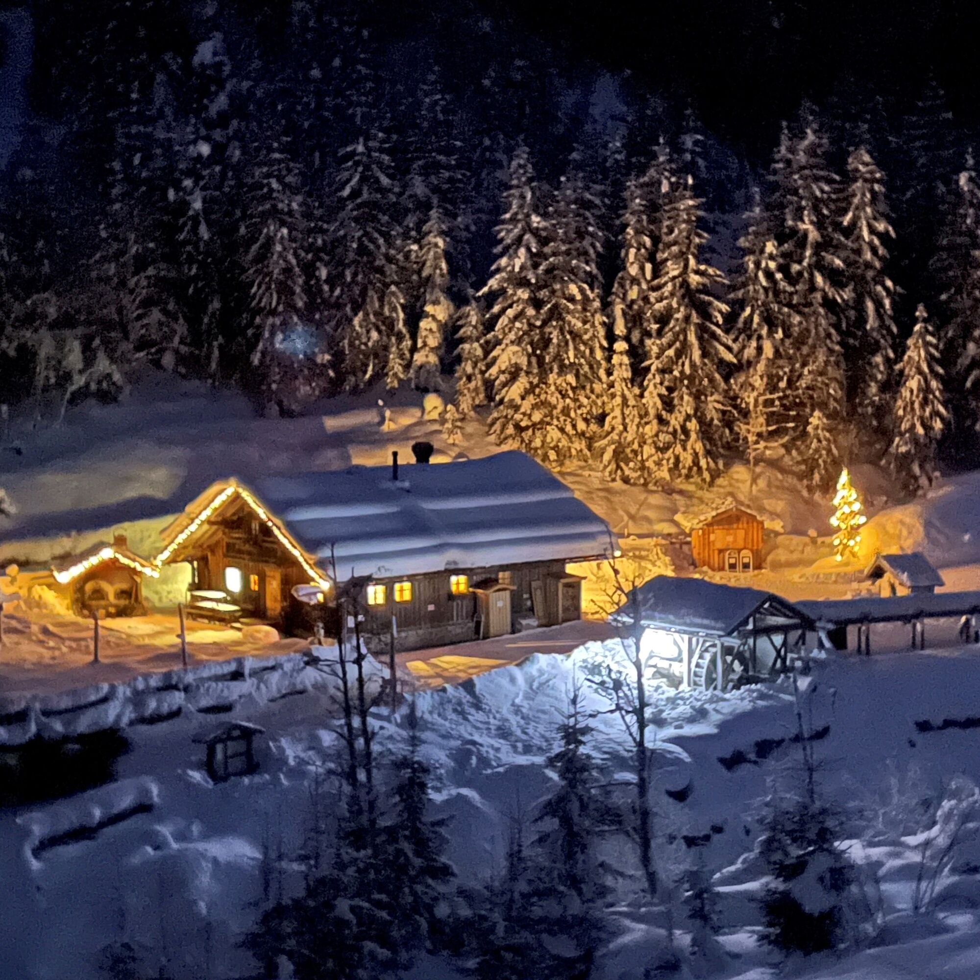
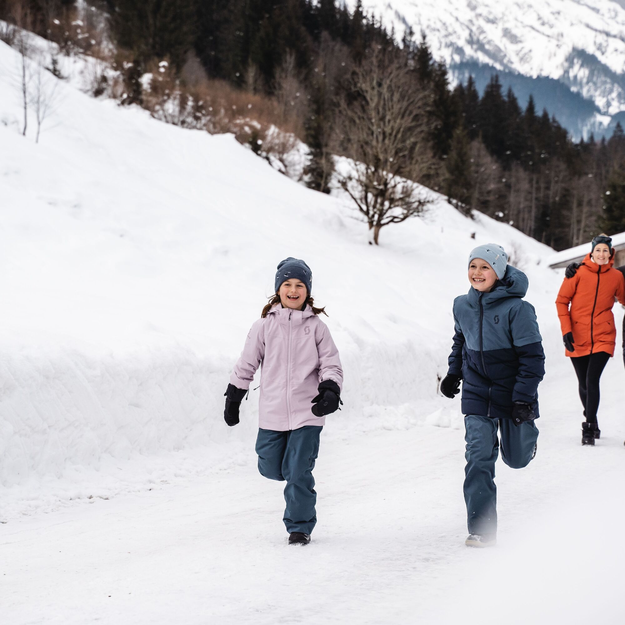

The starting point is the car park by the Asitz cable cars in Leogang. Continue towards the huts. Before the bridge to the Hütt chapel, follow the left side along the Leoganger Ache and past the farm. After about 400 meters, cross the small bridge to the road. Continue on the road downhill to the Unterberghaus/Knappenstube/show mine (approx. 3 km). Return via the same route or by horse-drawn carriage.
Walking time: approx. 1.5 h (one way)/ 4 km
Refreshment options: Unterberghaus/Knappenstube, Hüttwirt or at the inns near the Asitz cable cars
Tak
Coming from Saalfelden through the town area to the Leoganger Asitz cable cars.
Tip: Book the Loigom-Soifen shuttle at +436649271464. This way you can easily and comfortably get to the starting point from various districts of Leogang and Saalfelden.
at the Leoganger Asitz cable cars
3
Uzyskaj wgląd
Zawsze na żywo z ponad 9 500 kamer internetowych. bergfex Jako użytkownik Pro, możesz teraz zobaczyć odpowiednie kamery internetowe dla wielu wycieczek w aplikacji wycieczki od. Pozwala to na bezpośredni podgląd aktualnych warunków.
Popularne wycieczki w okolicy
-
4,6
Steinalm
światłoWędrówka 2,71 km -
4,4
Peter-Wiechenthaler Hut
średniWędrówka 4,32 km -
4,5
Seisenberg Gorge
światłoWędrówka 2,41 km -
4,8
Loferer Steinberge, zum Hinterhorn über die Schmid-Zabierow Hütte, 19.06.22
ciężkiWędrówka 14,0 km -
4,2
Maurerkogel (Top)
Wędrówka 10,5 km -
4,2
Passauer Hütte
ciężkiWędrówka 4,14 km -
4,6
MTB Tour Ramseiden-Round (Tour 1)
średniMountainbike 18,9 km -
4,5
Birnbachloch Leogang, Österreich
średniWędrówka 5,18 km -
4,0
Berg der Sinne
światłoWędrówka 4,39 km -
4,9
Hochsonnberg Runde
średniMountainbike 59,8 km
Wędrówki i tropienie


Nie przegap ofert i inspiracji na następne wakacje
Twój adres e-mail została dodana do listy mailingowej.





