






MTB route Ramseiden round (route 1)



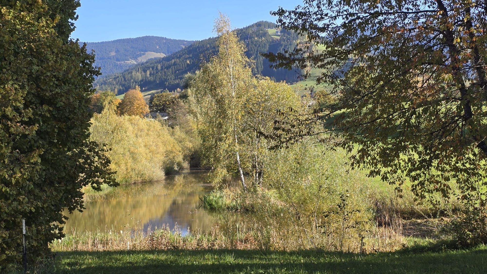
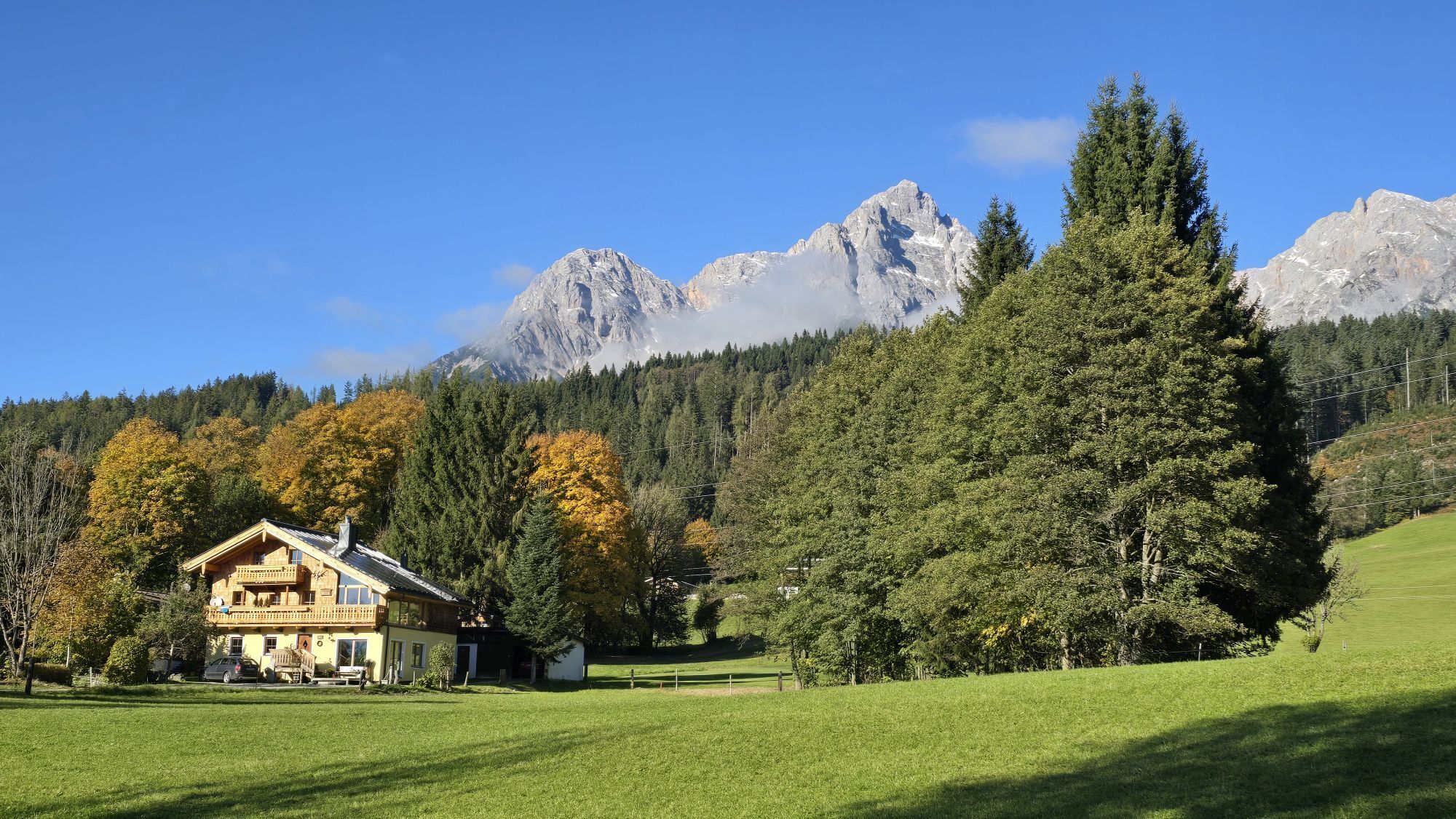
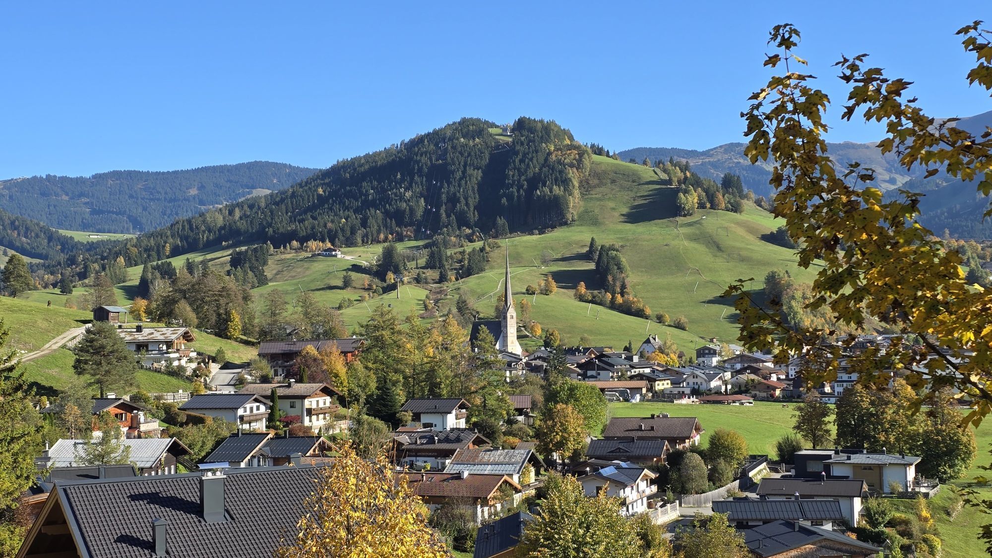
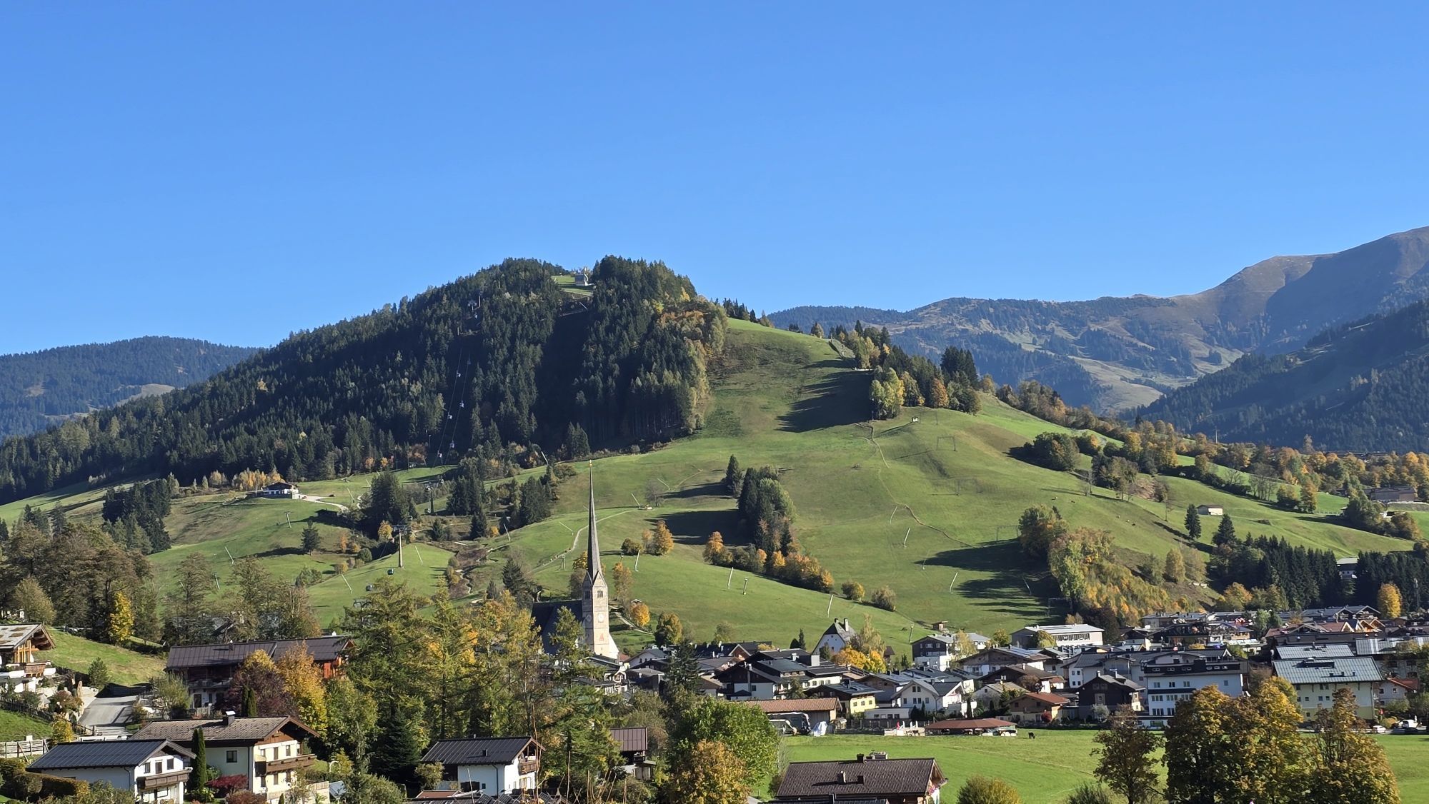
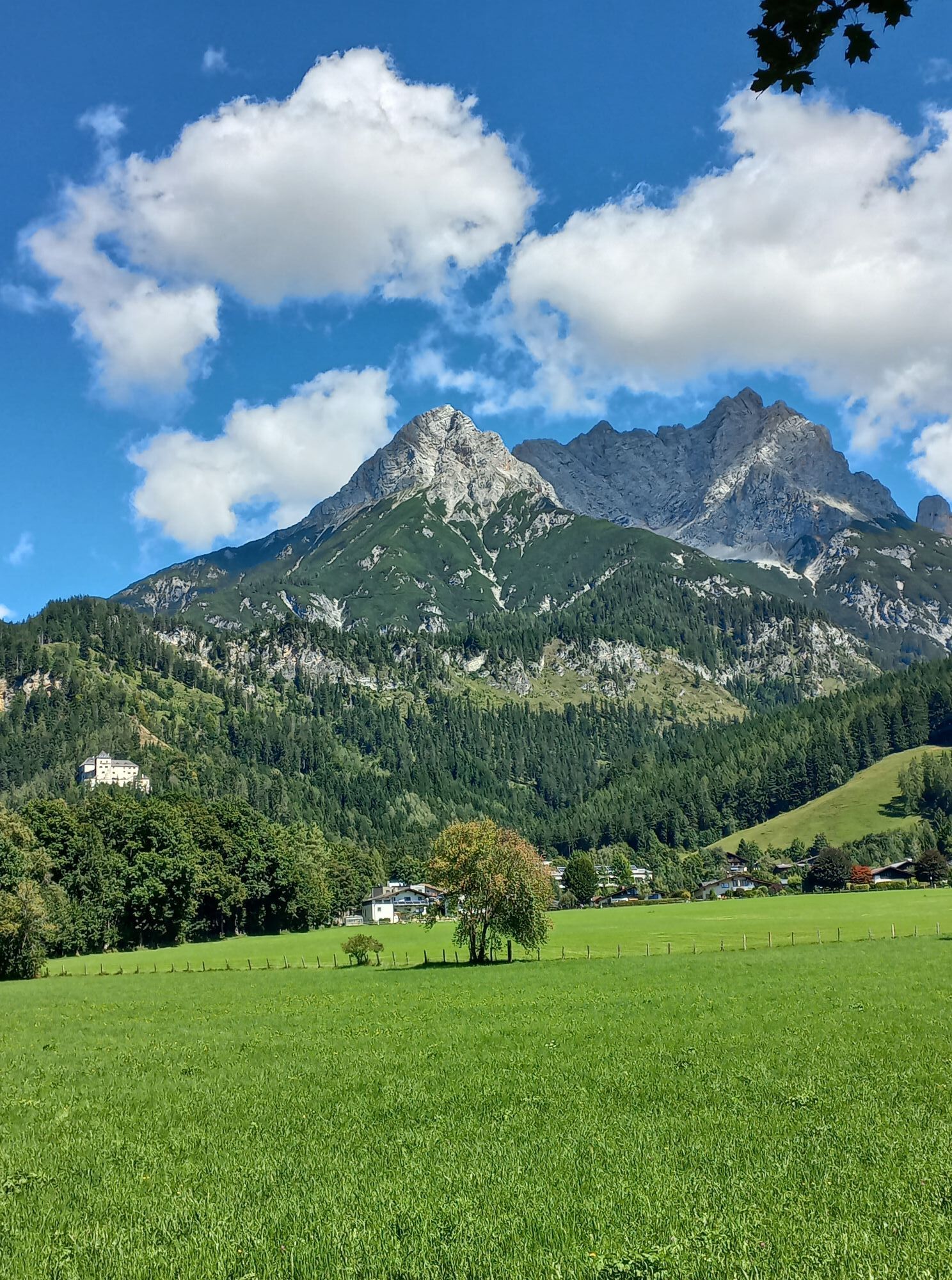
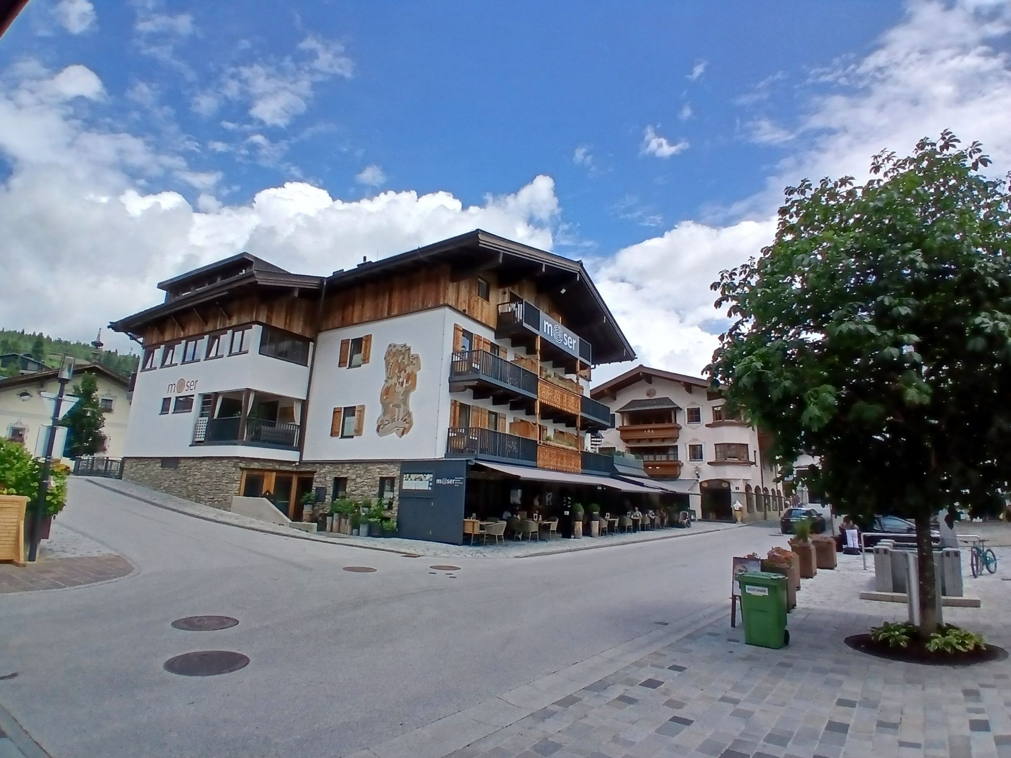
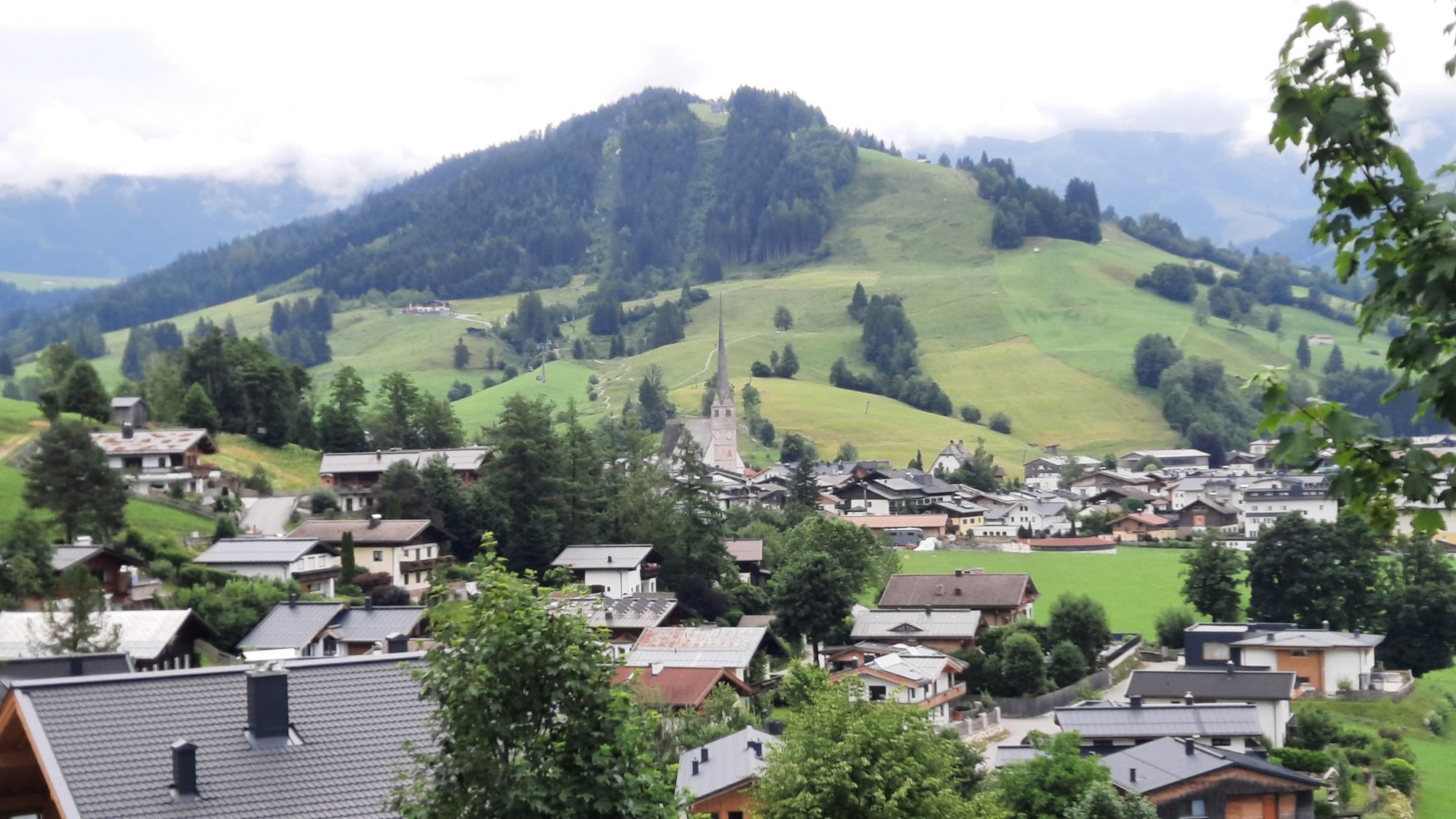
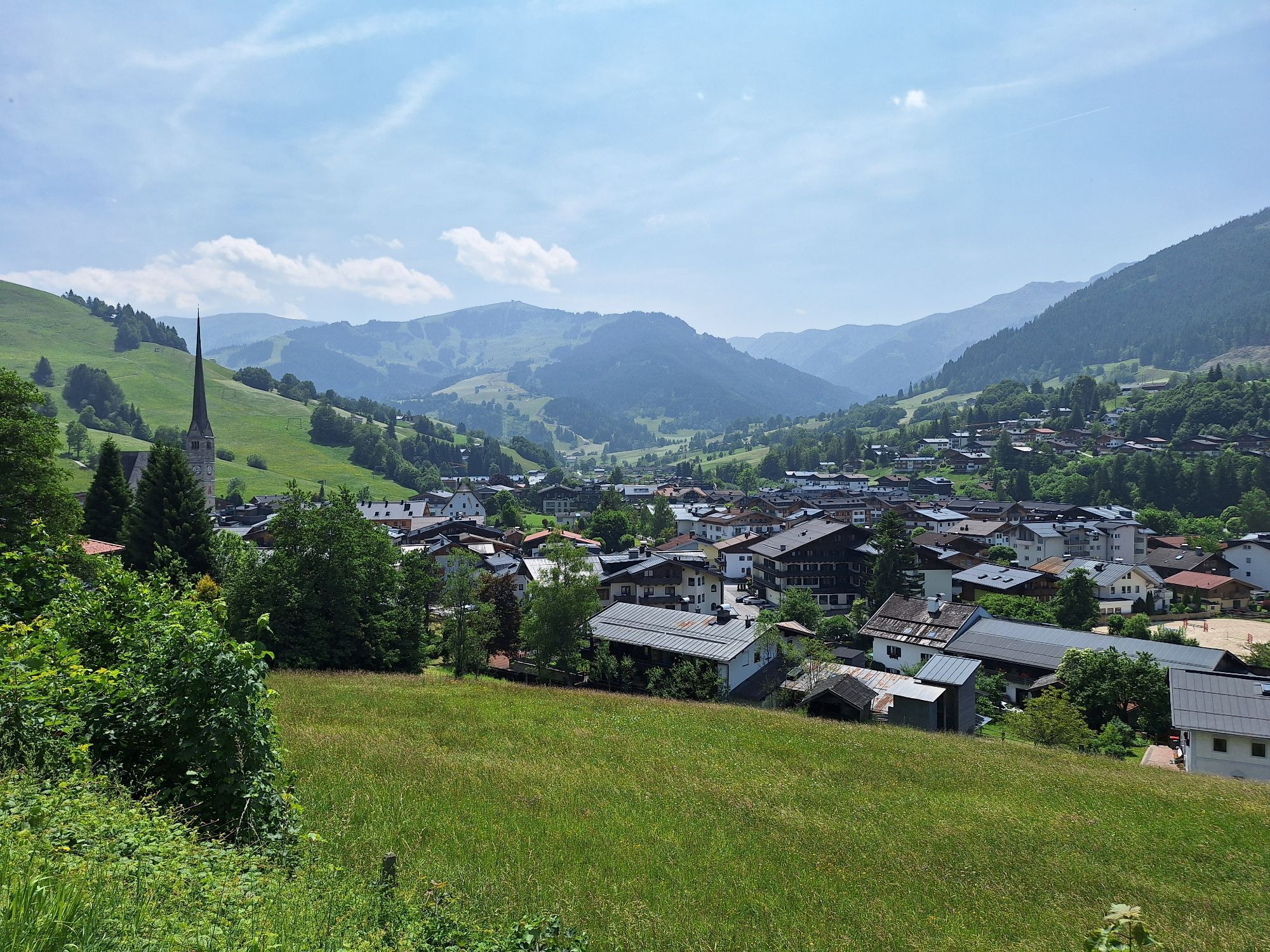
Start at the Gasthof Moserwirt and over the bridge – then left past the historic Almerwirt and onto the trails towards Gasteg! After 700 meters it immediately gets steep to the Gasteg chapel, but no worries,...
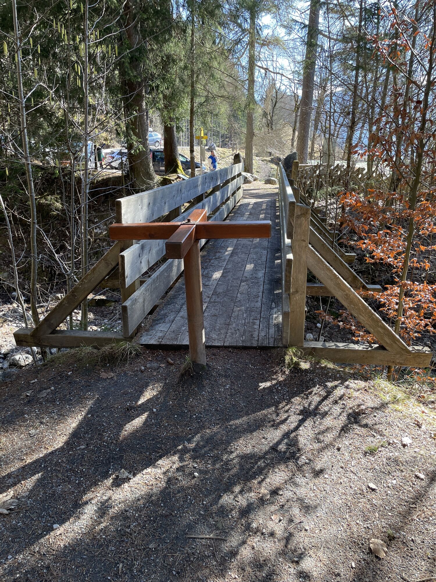
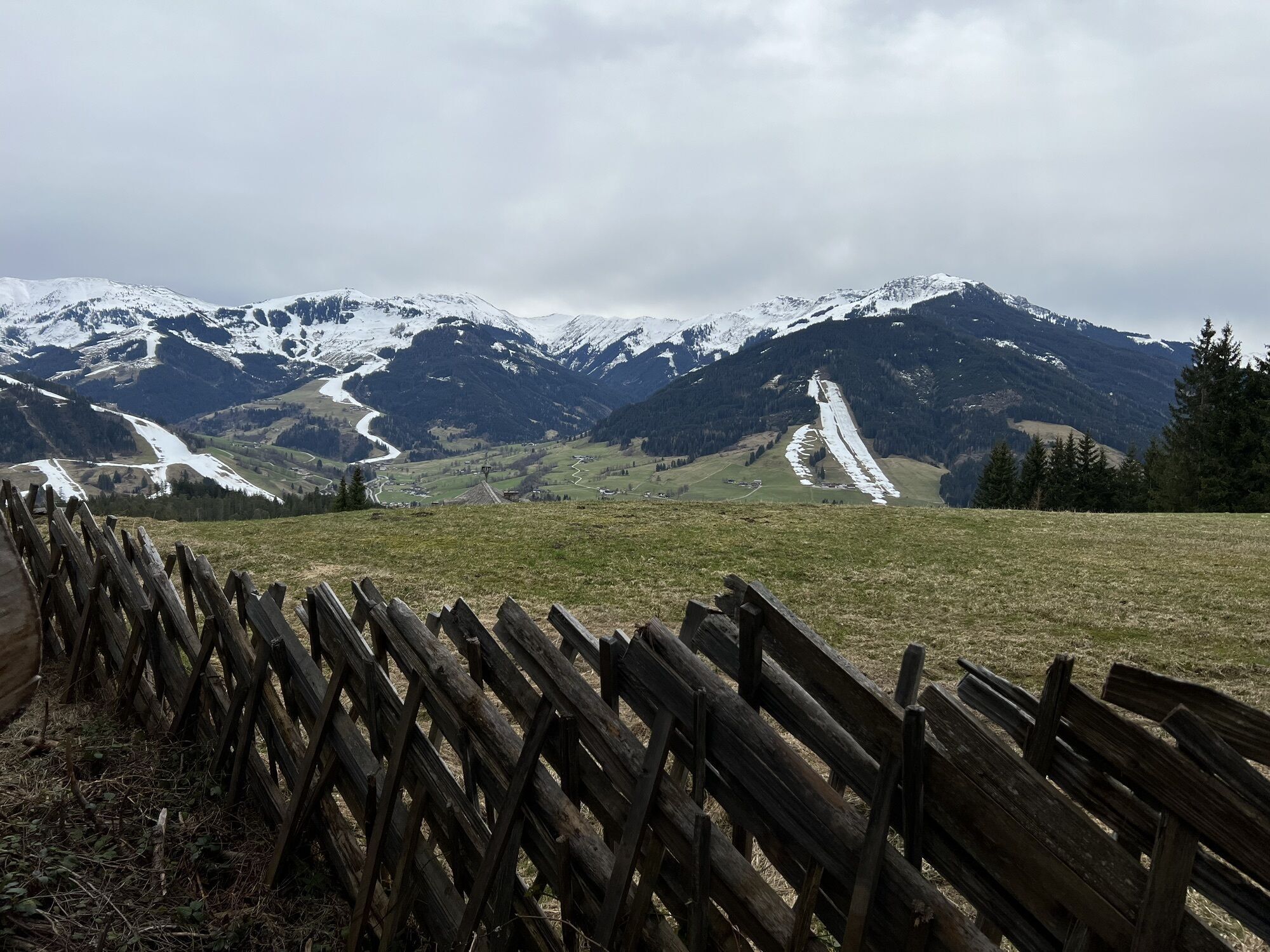
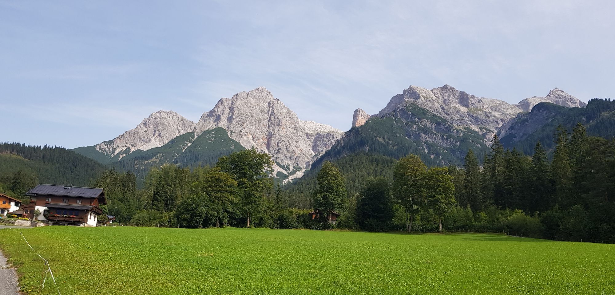
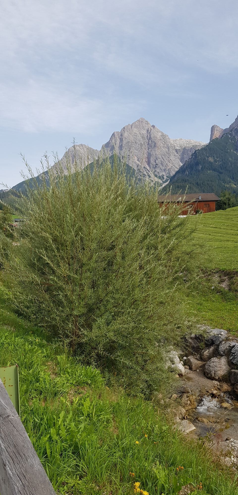
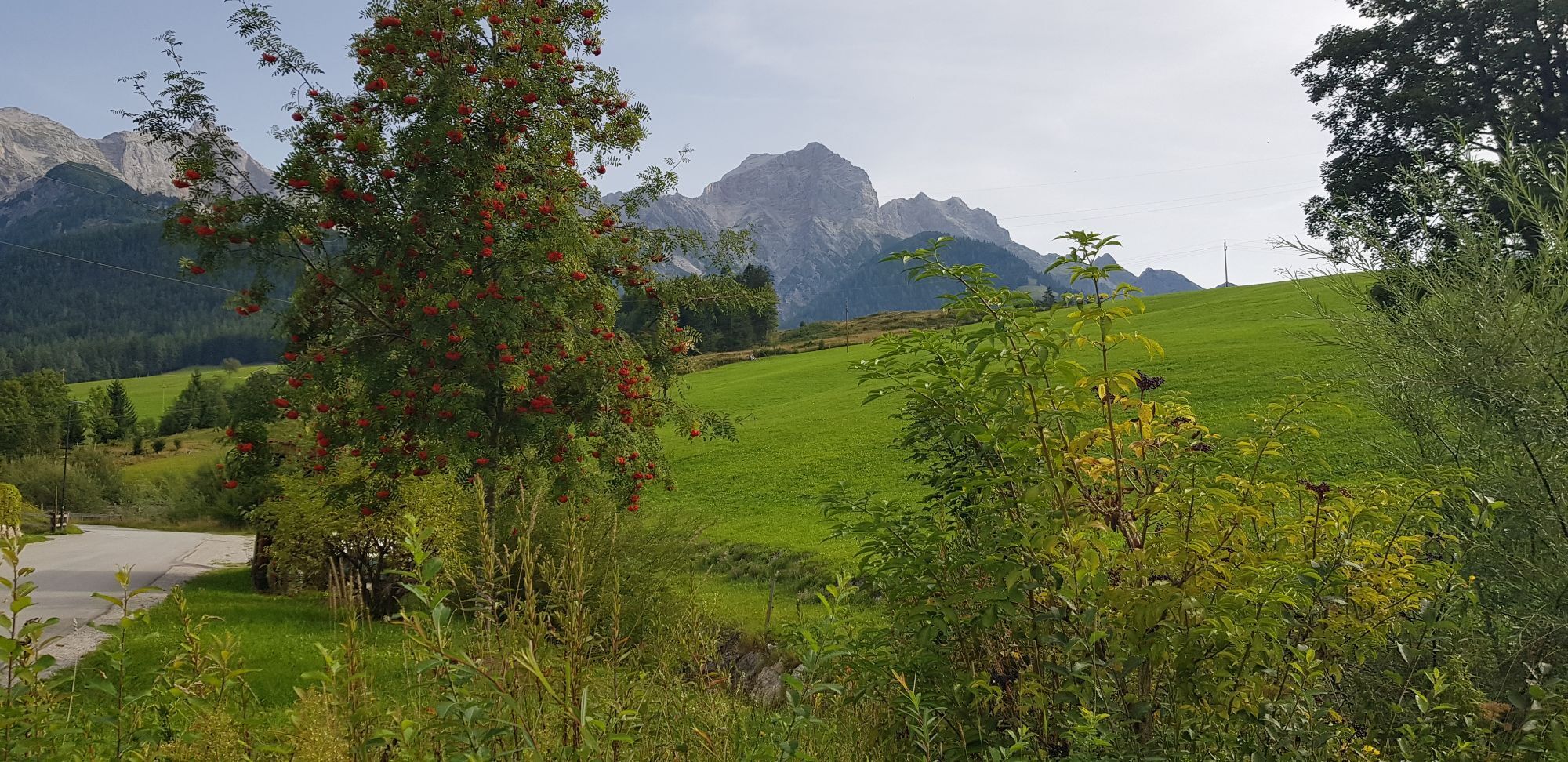
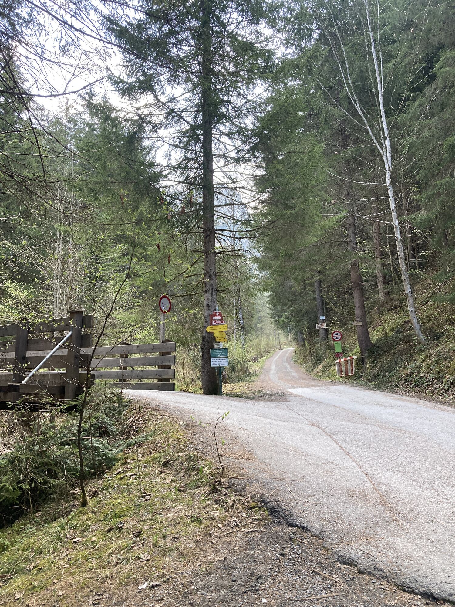
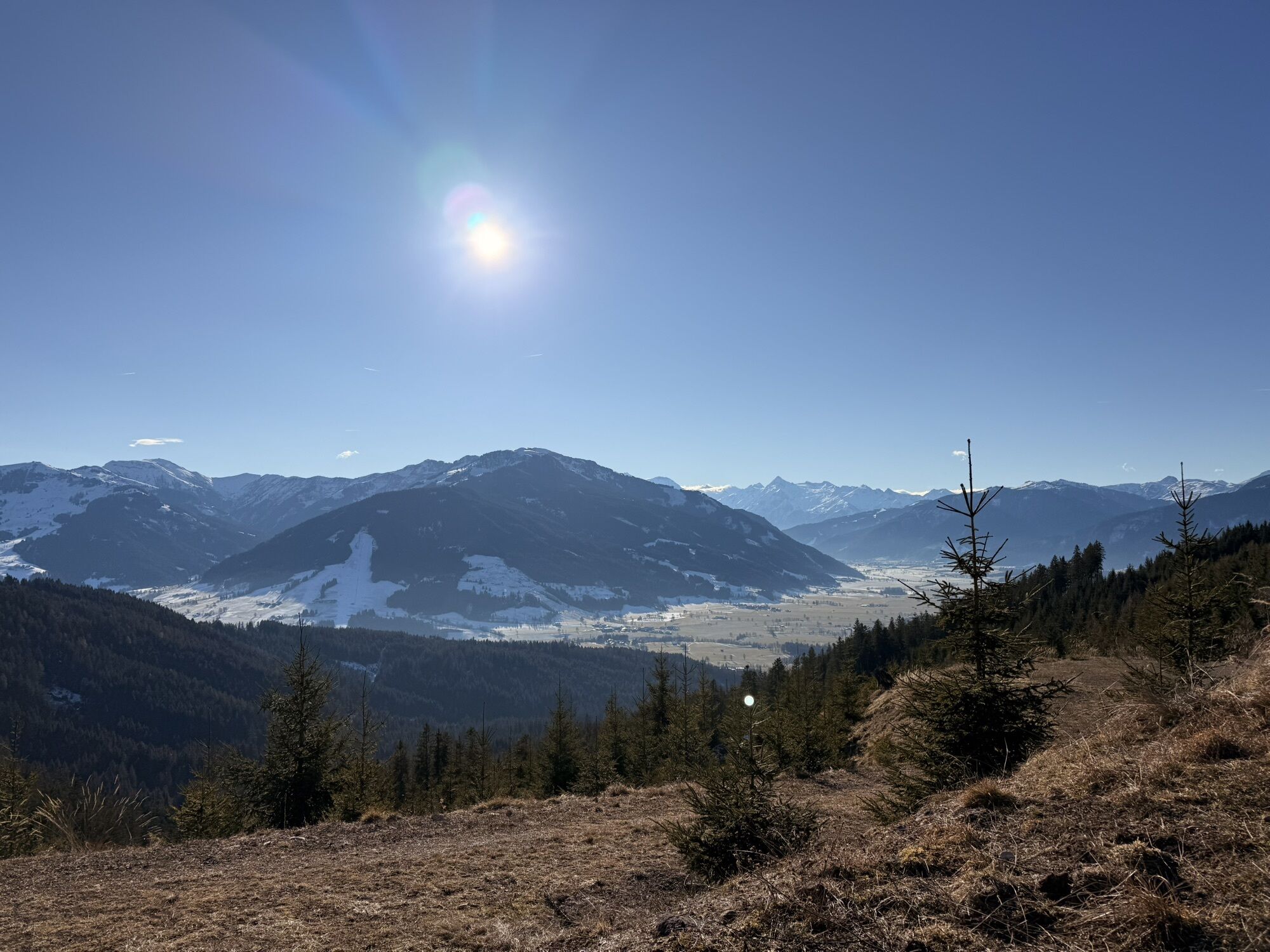
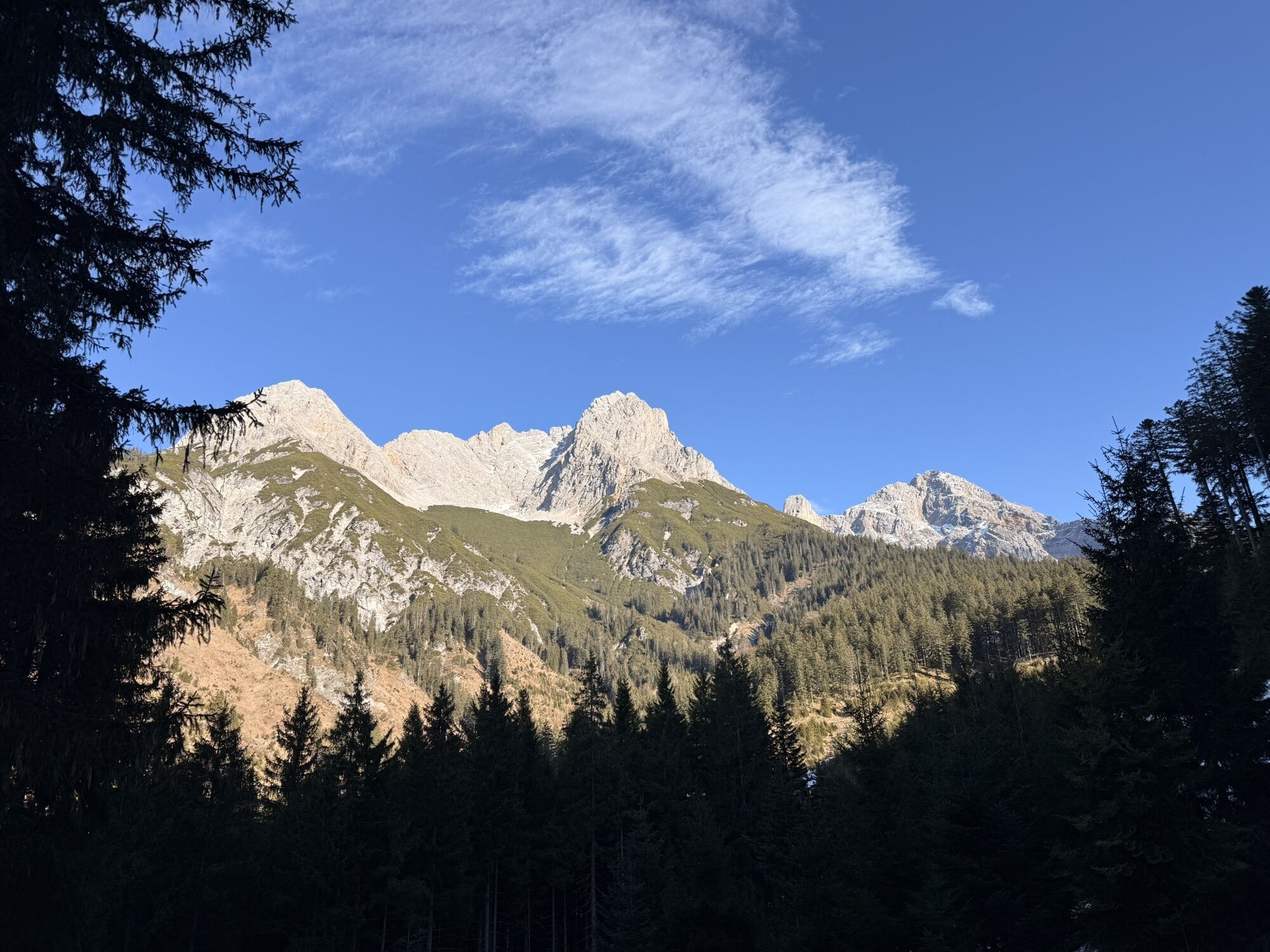
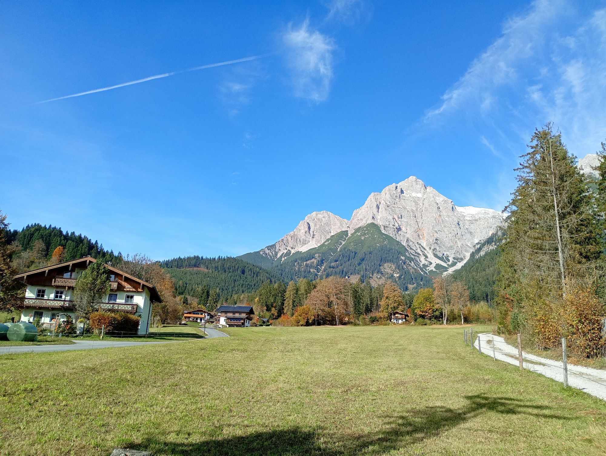
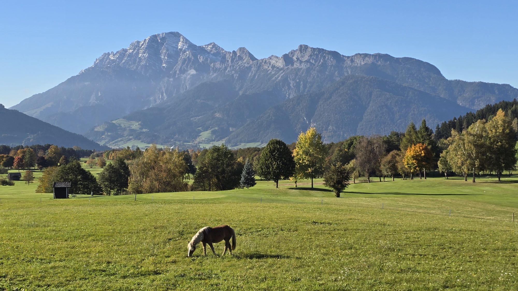
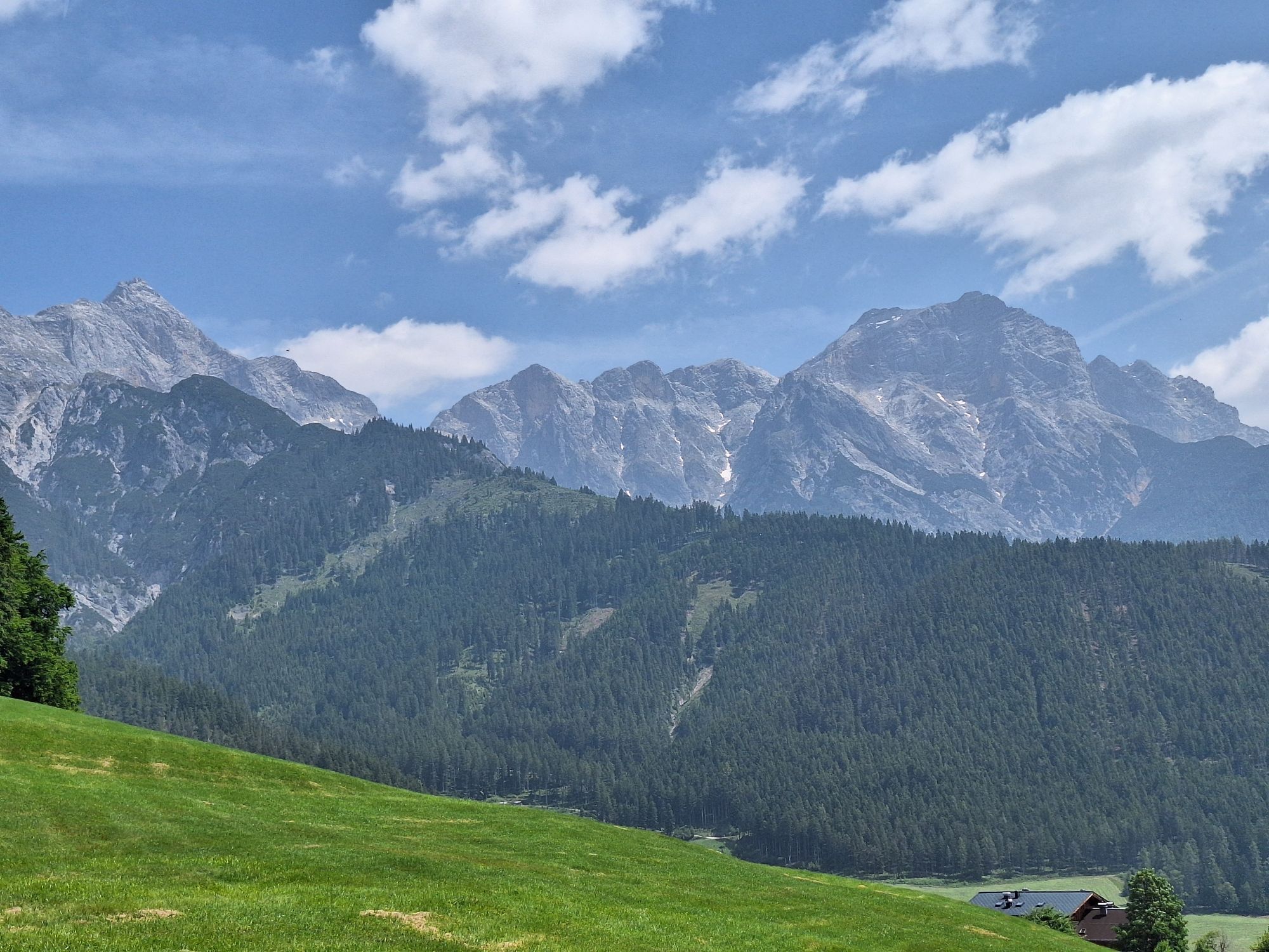
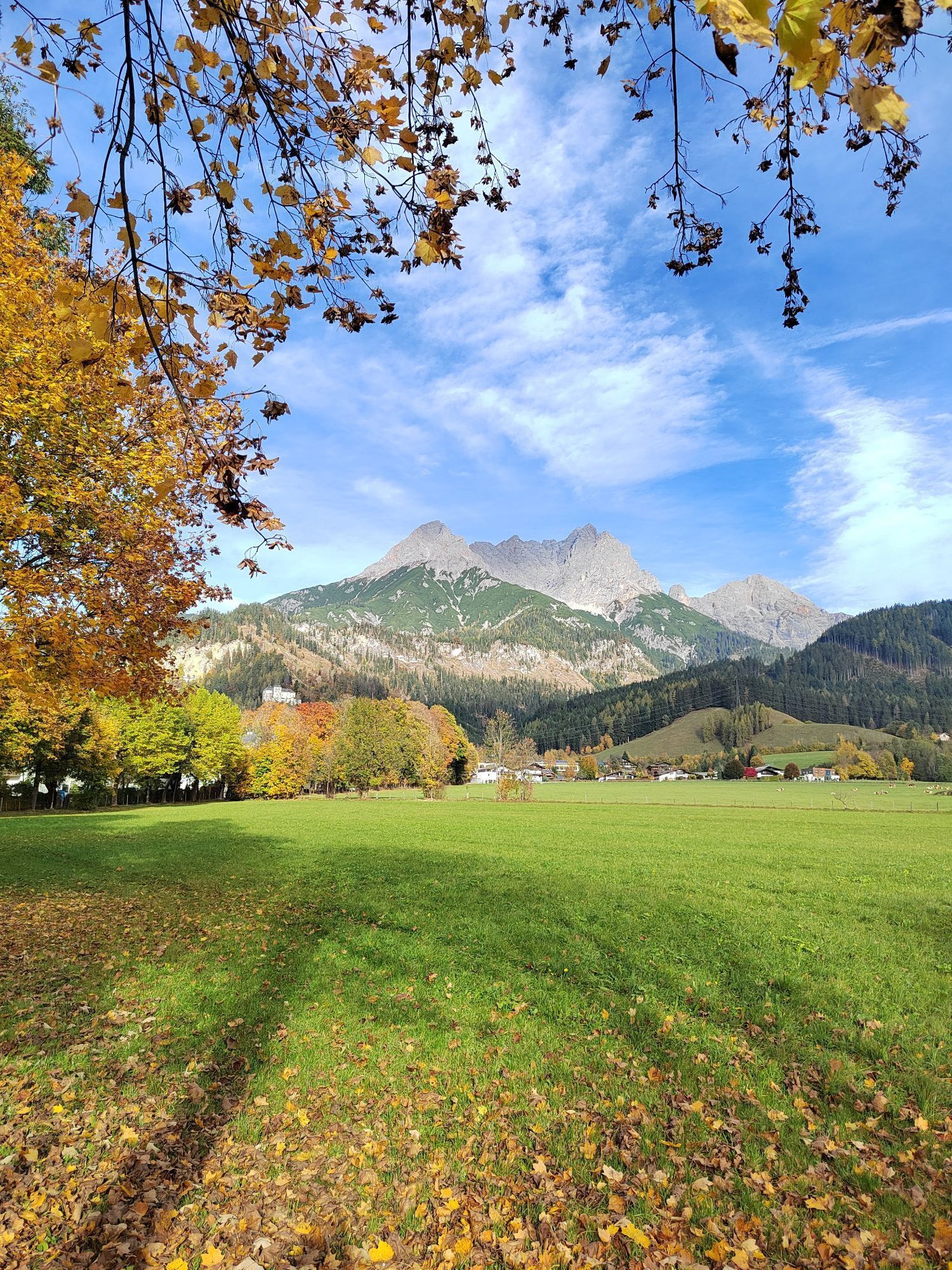
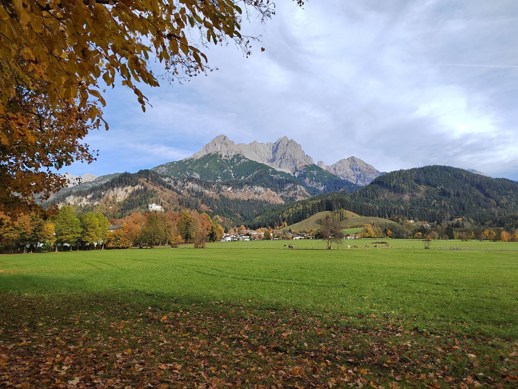
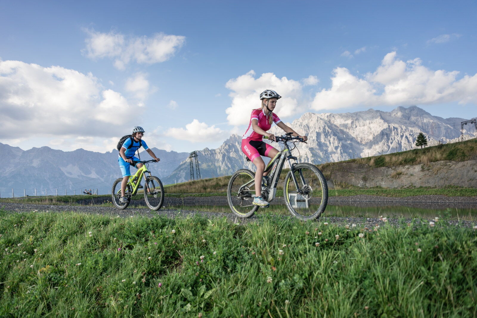
Start at the Gasthof Moserwirt and over the bridge – then left past the historic Almerwirt and onto the trails towards Gasteg! After 700 meters it immediately gets steep to the Gasteg chapel, but no worries, after 200 meters the first little effort is already over. Roll relaxed above the Urslautal golf course towards Ramseiden. Keeping the Leoganger Steinberge in view, you cycle leisurely to Saalfelden. Turn right at the Anton-Wallner barracks (Tauern cycle path towards Weißbach) and ignore the tempting cake display at Cafe Pichlmayr – that’s not the way now! Turn right onto Lichtenbergstraße and the climb begins! Along the avenue you pass the football stadium where FC Liverpool once played, the tennis courts, and the Saalfelden skiing school until you reach the Steinalm car park. Take a short break, maybe take off your jacket, because from here it gets gravelly and steep! The path alternates between steep and less steep – feel your pulse! After about a kilometer, you cross a small mountain stream in a hairpin bend. Time to chill, because it gets a bit flatter! Follow the signs for the Watzmann-Hochkönig route and after another 1.5 km cross the mountain ridge with an awesome view towards Maria Alm. Now comes the final sprint: The last 1000 meters uphill lie ahead of you! Even though it doesn't get really steep anymore, you have to bite down again until the Kronreith junction! Attention: Don't turn yet! The 150 meters straight on to the viewing platform are definitely worth it! Take a short break, enjoy the view of the Pinzgau grass mountains, and don’t forget the selfie at the “Bikepoint bench”! Now head back towards Maria Alm! The winding forestry path requires full concentration downhill. At the Hochreith plateau, enjoy the breathtaking view back to the Steinernes Meer and then roll down to the Gasthof Kronreith, where a small snack awaits you. Afterwards, cycle back to the starting point on the asphalt road.

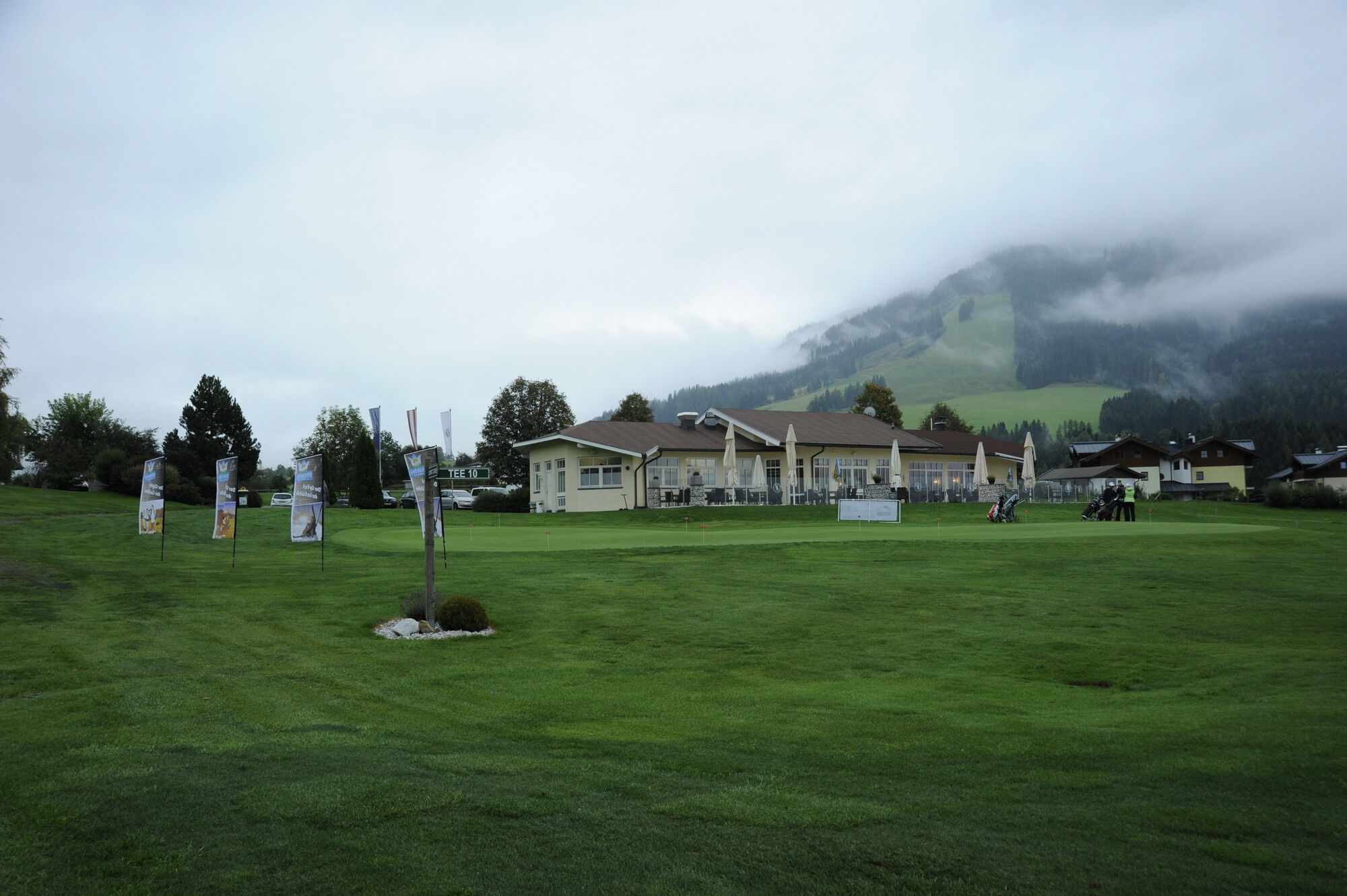
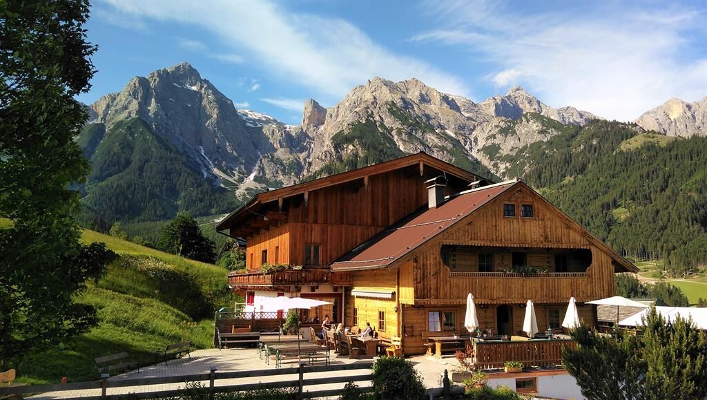
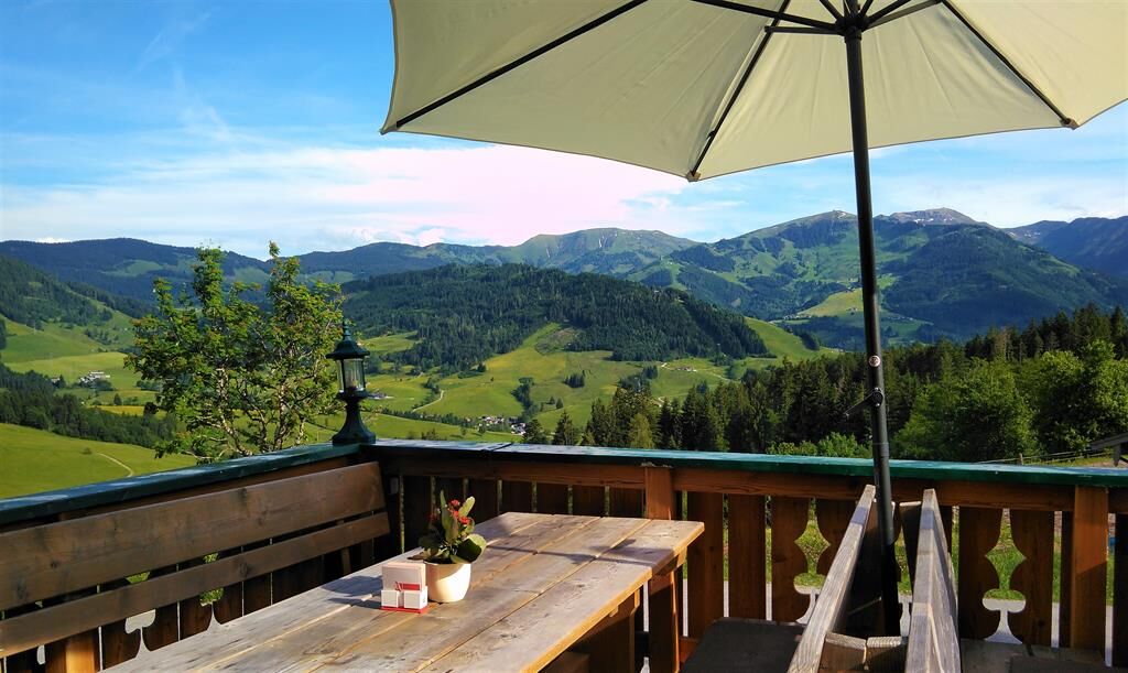
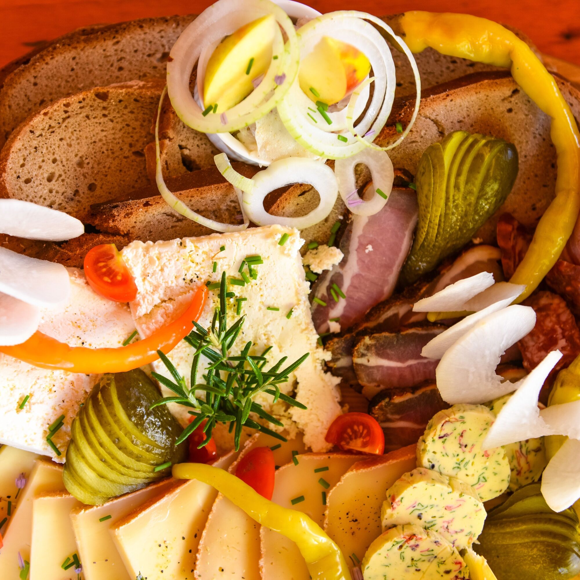

From the Servicecenter Maria Alm, after about 100m of driving (towards the village entrance, immediately after the Moserwirt hotel), turn right over a bridge onto path no. 12 and follow it to the district of Schinking (Saalfelden). There, turn left, pass the clubhouse of the Urslautal golf course, then after about 300m turn right to reach the district of Rain. A small side street leads you through the district of Oedt to Ramseiden. Opposite the Anton-Wallner barracks, turn right, follow the road for just over 1 km, and finally turn right into Lichtenbergstraße. You pass the Higher Federal Boarding School (HIB) and then follow the signs of the Watzmann-Hochkönig route (stage 4), which will lead you back to Maria Alm via the Gasthof Kronreith.
Checked bike equipment with helmet
Sunglasses
Sunscreen
Rain protection
Drinks and a small snack
Necessary medication
First aid kit
Bike map
Fair play!
Only ride on marked paths! Close all gates, barriers, and pasture gates! Observe the road traffic regulations! Only overtake at walking pace! Be respectful towards other nature users and forestry and hunting personnel! Take care of the animals! Leave no litter in nature! Act responsibly! Weather forecasts: Check the current weather conditions at: zamg.at or www.uwz.at.Emergency numbers: Alpine emergency: 140, International emergency: 112, Rescue: 144
Arrival from Salzburg: Take the A10 motorway to the Bischofshofen exit, then continue on the B311 towards Bischofshofen. Follow the Hochkönig federal road/B164 to Maria Alm.
Arrival from Innsbruck/Kufstein: Take the Lofer road/B178 towards St. Johann i.T., then via the Hochkönig federal road/B164 through Saalfelden to Maria Alm.
A valid toll sticker is required for the use of the Austrian motorway and expressway network. It is also mandatory to carry a first aid kit, warning triangle, and safety vest. More information is available at Asfinag.
ÖBB-Scotty: timetable information
Bus line 620: timetable information
Hiking bus: timetable information
Free parking at the entrance and in the town center of Maria Alm
Further information on bike routes and activities in the Hochkönig region:
For detailed information on hiking maps, opening hours of the mountain lifts as well as huts and alpine pastures in summer, we recommend visiting the local service center. There you will not only get the hiking map but also valuable tips on the best hiking routes and current conditions.
Summer opening hours of the mountain lifts: The lifts offer different opening times during the summer months, which may vary depending on weather and season. Please check the current operating times in advance.
Summer opening hours of the huts & alpine pastures: The huts and alpine pastures in the region are ideal rest stops for hikers. The opening hours can also vary depending on season and weekday. Let the friendly hosts advise you about the offers and specialties on site.
For more information please visit our website: www.hochkoenig.at.
If you have any questions or want to get specific information, feel free to contact us:
Email: region@hochkoenig.at Phone: +43 (0)6584 20388We look forward to helping you and wish you lots of fun exploring the beautiful hiking region Hochkönig!
Tip from the guide: Post the selfie at the bench on social media and pick up a little treat at the bike shop!


Kamery internetowe z trasy



Popularne wycieczki w okolicy
-
4,4
Maria Alm - Riemannhaus
Wędrówka 3,99 km -
4,8
Königssee - Kärlinger-Haus
Wędrówka 10,1 km -
4,9
Summit stormer route Lauskopf
ciężkiWędrówka 8,16 km -
4,8
Summit storming route Taghaube
ciężkiWędrówka 6,25 km -
4,6
Seisenberg Gorge
światłoWędrówka 2,41 km -
4,4
Schwalbenwand Nr. 80, 81, 82
średniWędrówka 13,0 km -
4,6
Peter-Wiechenthaler Hut
średniWędrówka 4,32 km -
4,6
Steinalm
światłoWędrówka 2,71 km -
5,0
Goldtoni - Wandern - Watzmann - Überschreitung
ciężkiWycieczka wysokogórska 25,3 km -
4,9
Hochkönig - Gipfel der Gefühle - Matrashaus
ciężkiWędrówka 20,9 km
Wędrówki i tropienie


Nie przegap ofert i inspiracji na następne wakacje
Twój adres e-mail została dodana do listy mailingowej.





