







Annaberg: Winter hike on the Rainischweg

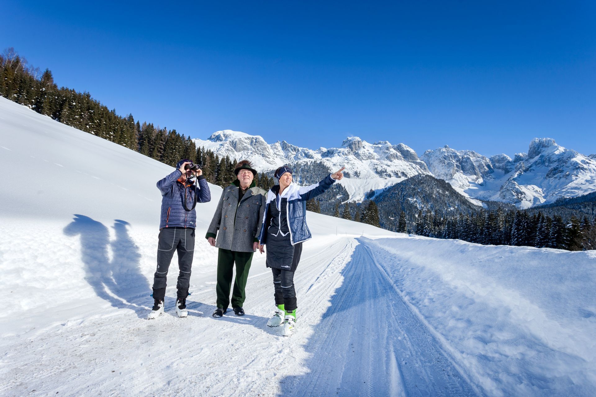
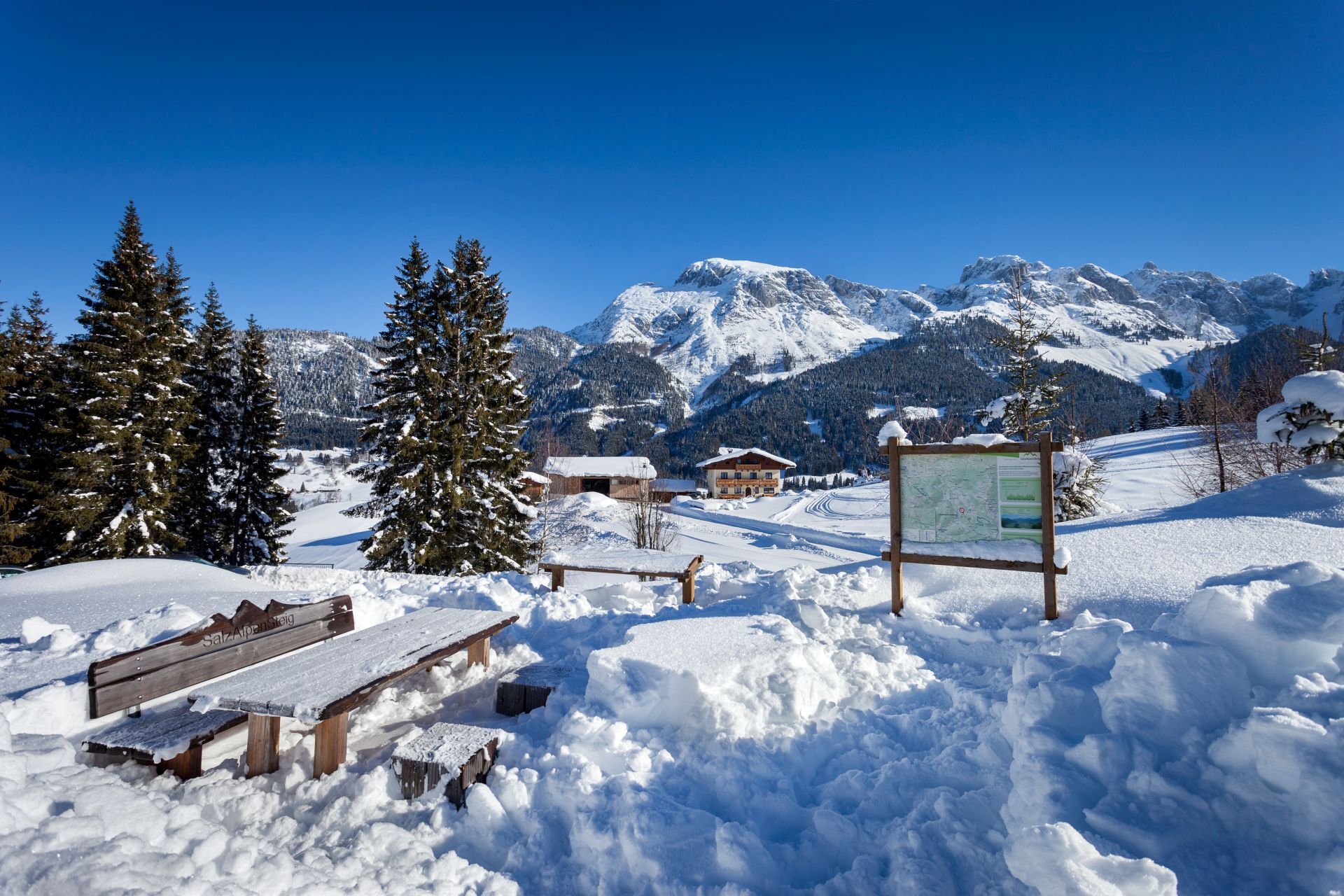

From the center of Annaberg, turn right after the bakery towards the local history museum Gererhof - then take the Rainischweg (No. 52/53) uphill to the street.
Alternatively, you can continue the way towards Salzburger Dolomitenhof and go downhill towards the Donnerkogelbahn. From there, either follow the road to Annaberg (approx. 1.5 hours walking time) or take the public bus back to the starting point (Astauwinkel stop directly at the Donnerkogelbahn - please observe the timetables).
Tak
Tak
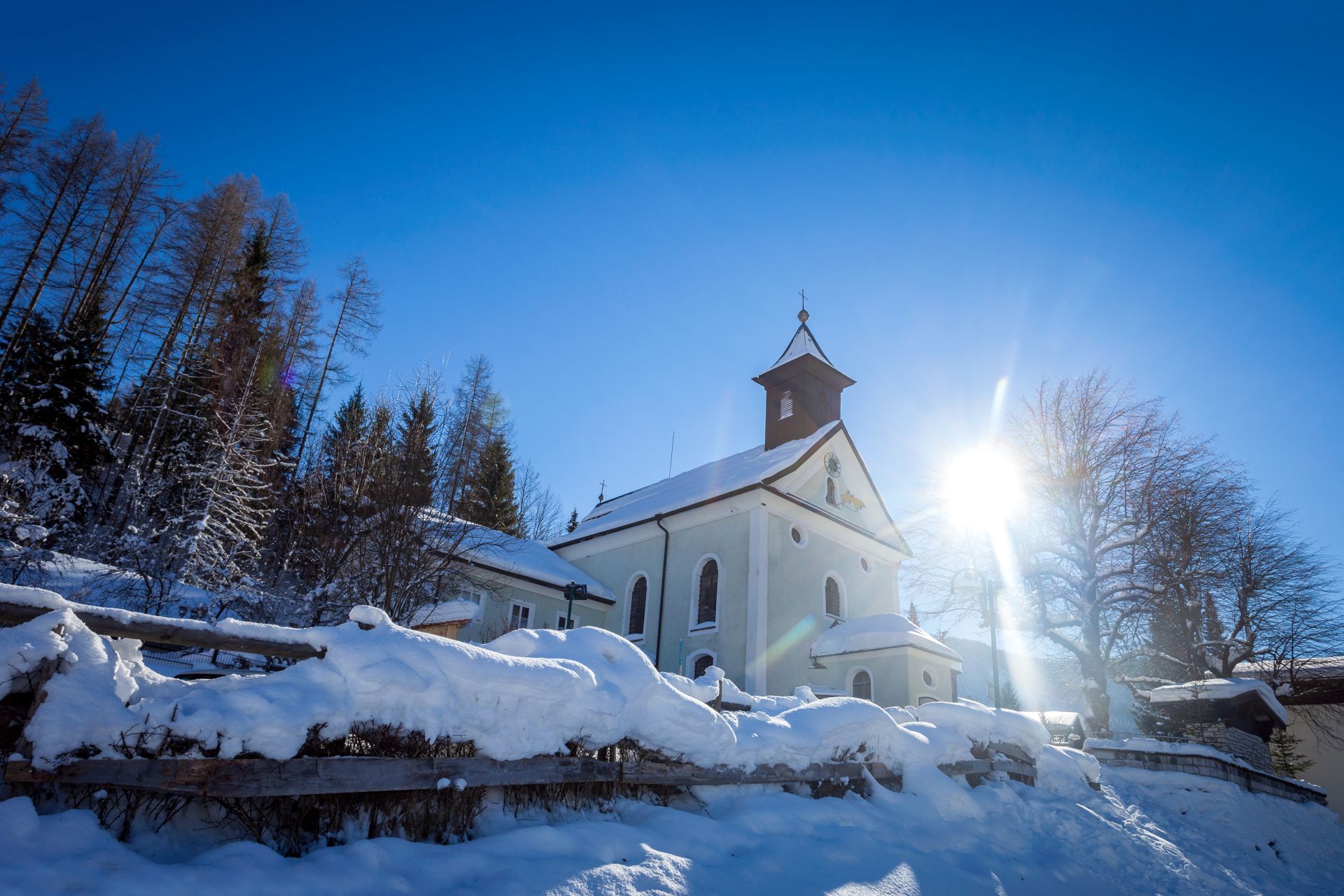
The path from Kopflackenmann down to the church is a steep section; the trail is not cleared. Therefore, it is only passable in summer. The return route in winter must be taken again on the forest road. Alternatively, you can continue the path towards Salzburger Dolomitenhof and go downhill towards the Donnerkogelbahn. From there, either follow the road back to Annaberg (approx. 1.5 hours walking time) or take the public bus back to the starting point (Astauwinkel stop directly at the Donnerkogelbahn - please pay special attention to the timetables).
From the A10 Tauern motorway exit Hüttau, then turn left into the Lammertal - via St. Martin - Lungötz - Annaberg town center.
Parking at the Kopfbergbahn (winter operation only) is free of charge.
The Rainischweg flows from the forest road into the street section located directly by the slope. If skiers want to meet with winter hikers, this is a good spot. Meeting points include Gasthof Dolomitenhof, Jausenstation Harreit, Cafe-Bistro Das Hannes, or Holzerhütte (observe opening hours).

Kamery internetowe z trasy
Uzyskaj wgląd
Zawsze na żywo z ponad 9 500 kamer internetowych. bergfex Jako użytkownik Pro, możesz teraz zobaczyć odpowiednie kamery internetowe dla wielu wycieczek w aplikacji wycieczki od. Pozwala to na bezpośredni podgląd aktualnych warunków.
Popularne wycieczki w okolicy
-
4,3
Filzmoos: Rötelstein (Rettenstein)
Wędrówka 9,50 km -
4,8
Werfenweng Mountainbikerunde Söldenhütte
średniMountainbike 18,8 km -
4,9
From Rußbach over the Gamsfeld
ciężkiWędrówka 11,5 km -
4,8
Tour around the Gosaukamm
średniWędrówka 20,9 km -
4,7
Tor-Wanderung
ciężkiWędrówka 14,2 km -
4,7
Tour around the Lake Gosau
światłoWędrówka 4,43 km -
4,5
Adamekhütte vom Vorderen Gosausee
średniWędrówka 23,2 km -
4,8
Hoher Dachstein
średniWycieczka wysokogórska 6,49 km -
4,7
Mühlenweg und Winnerfall Scheffau am Tennengebirge
średniWędrówka 4,79 km -
4,6
Sulzenschneid
średniWędrówka 9,51 km
Wędrówki i tropienie


Nie przegap ofert i inspiracji na następne wakacje
Twój adres e-mail została dodana do listy mailingowej.





