







Saalachtaler Höhenweg and Alpenrosenweg - Scenic ridge hike from Biberg to the Sausteige
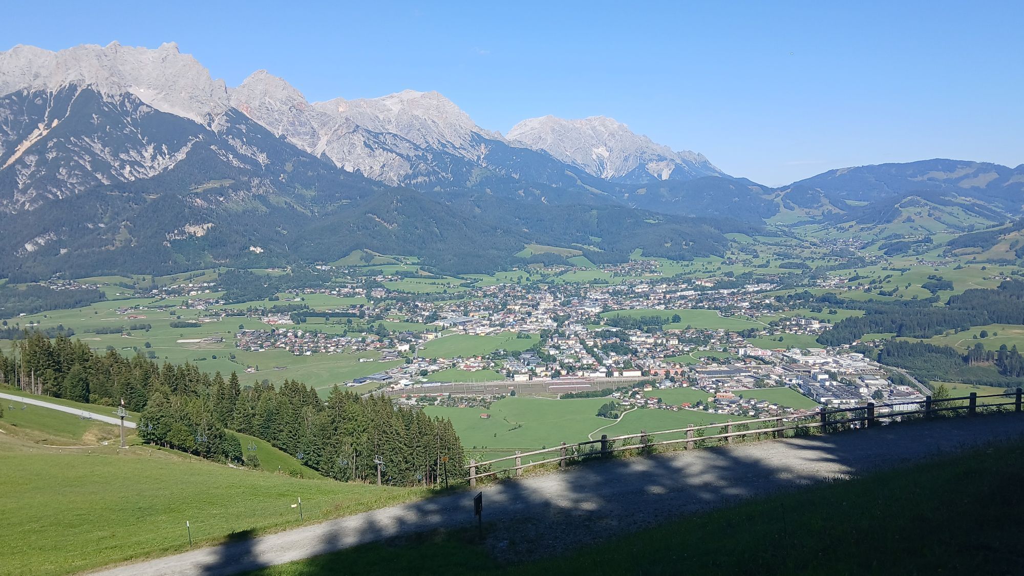
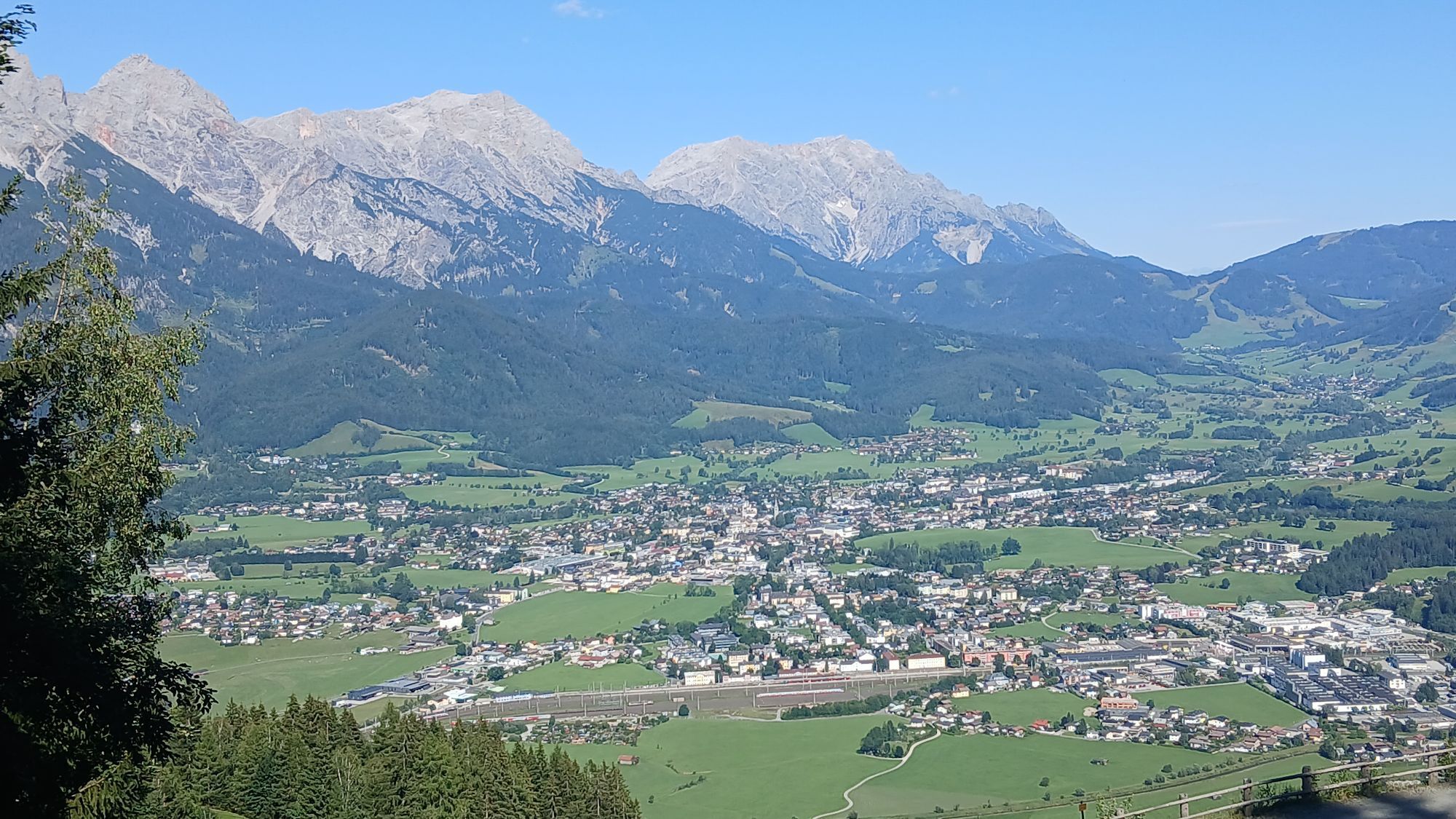
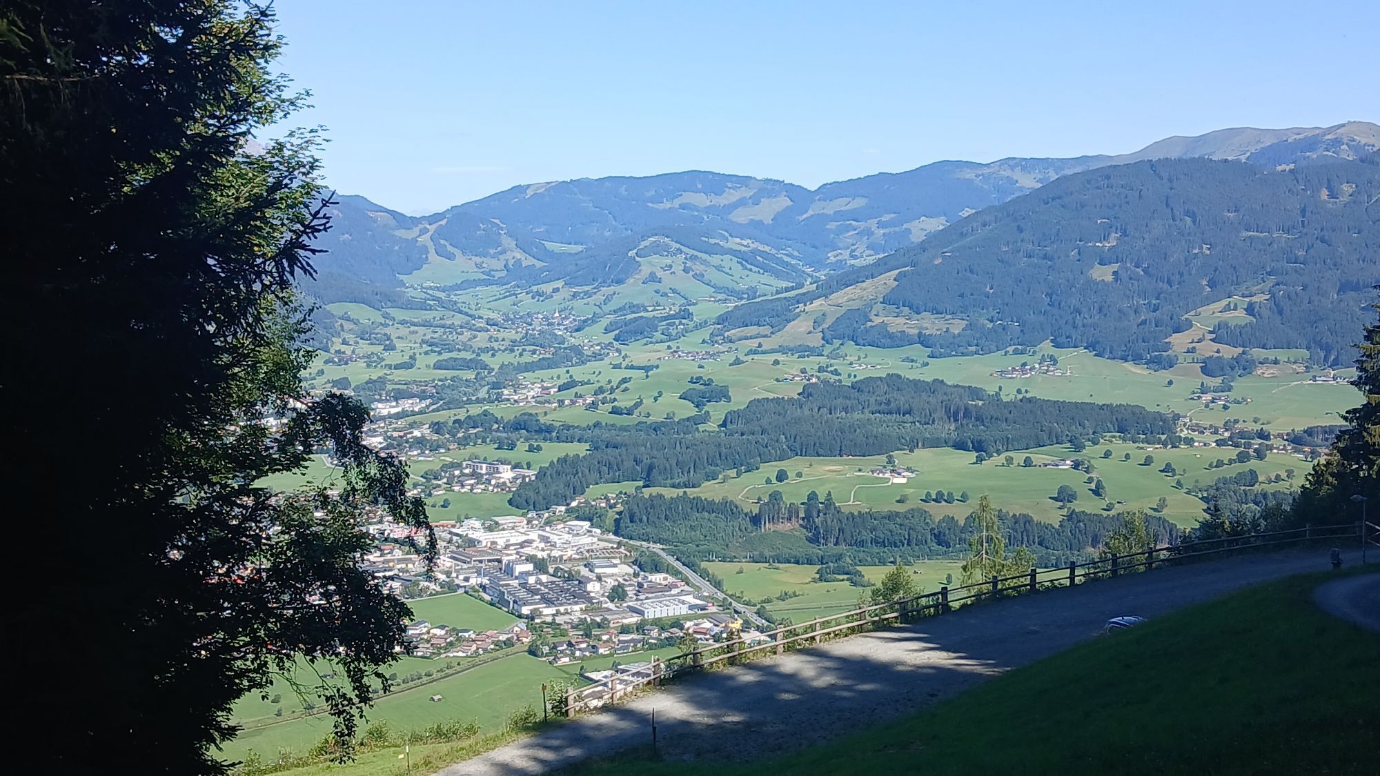
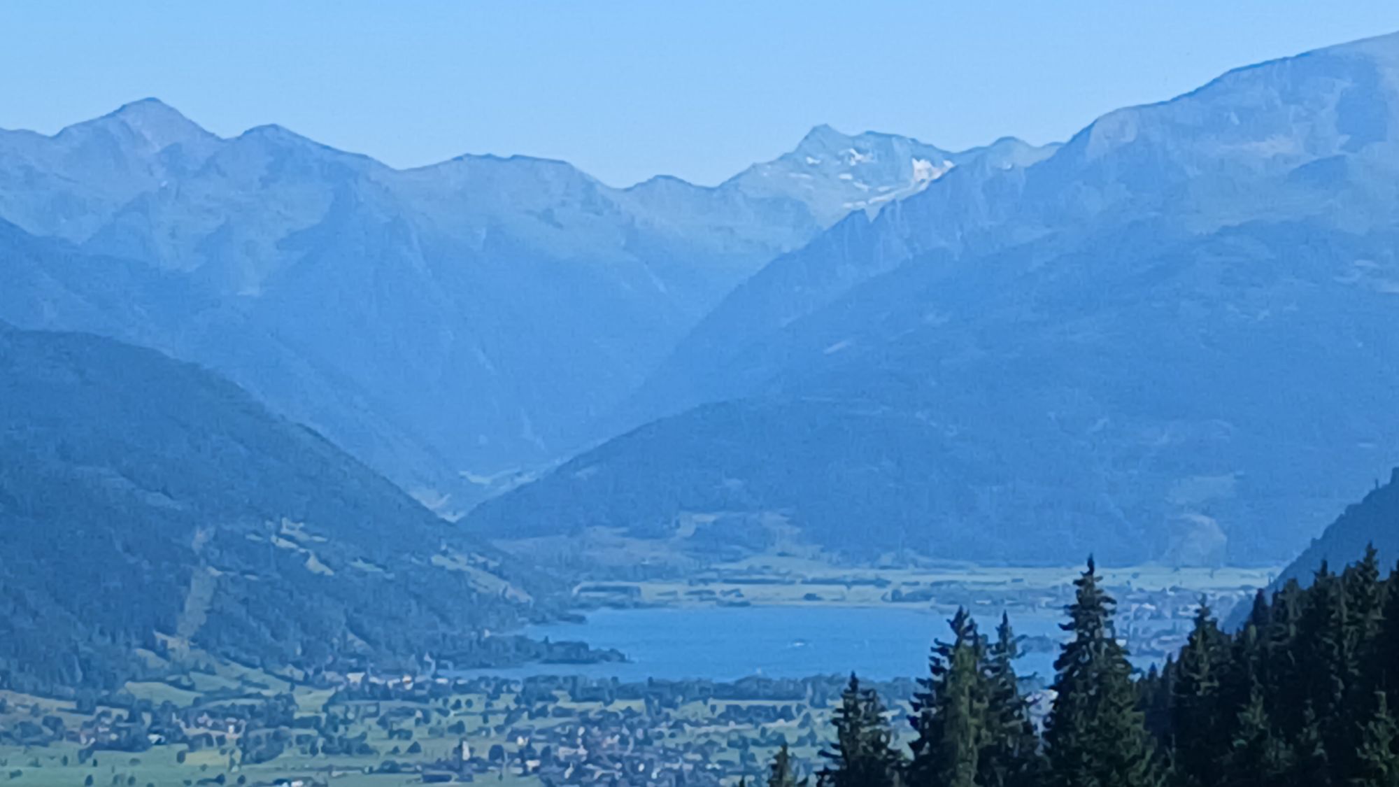
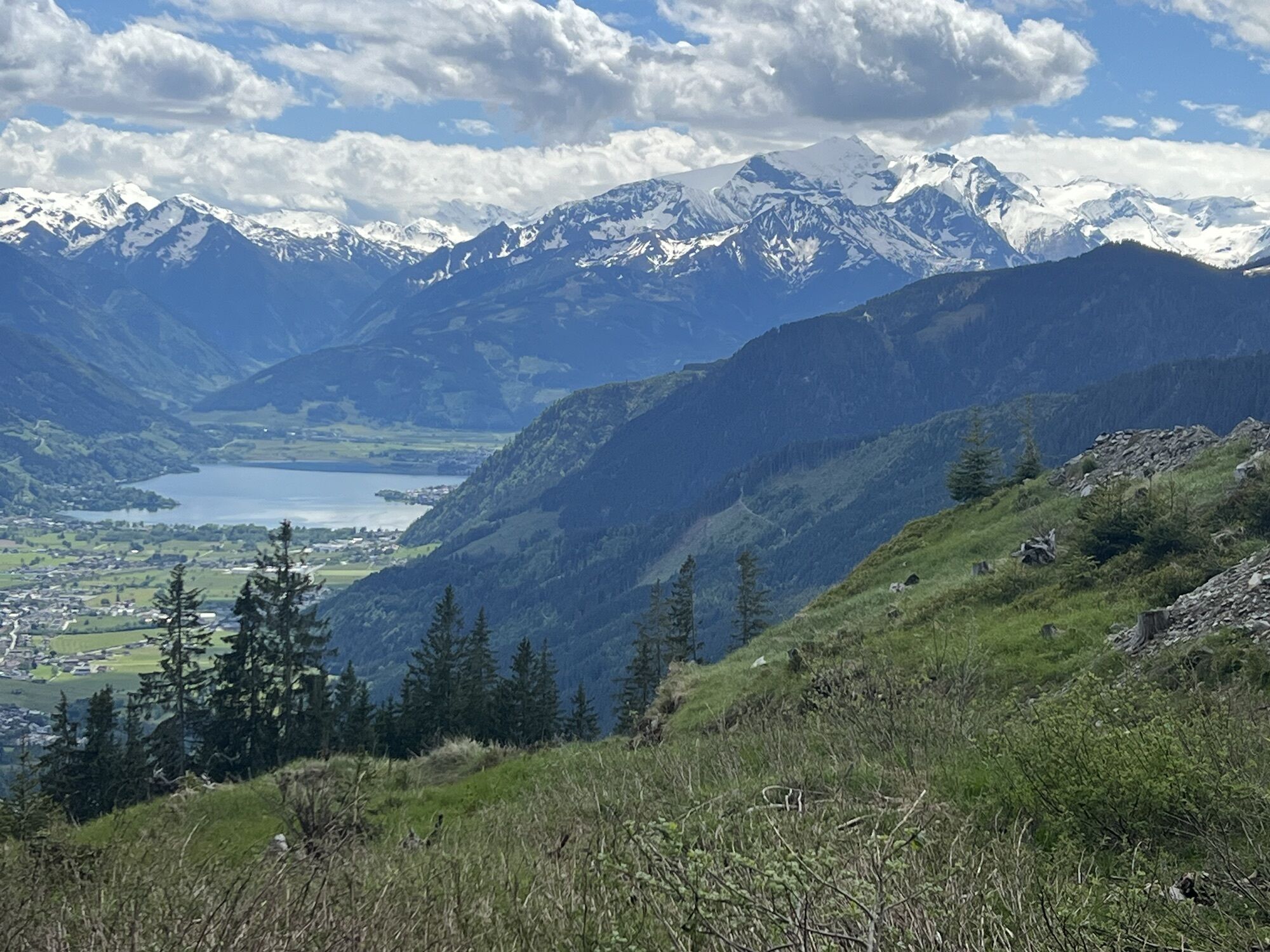
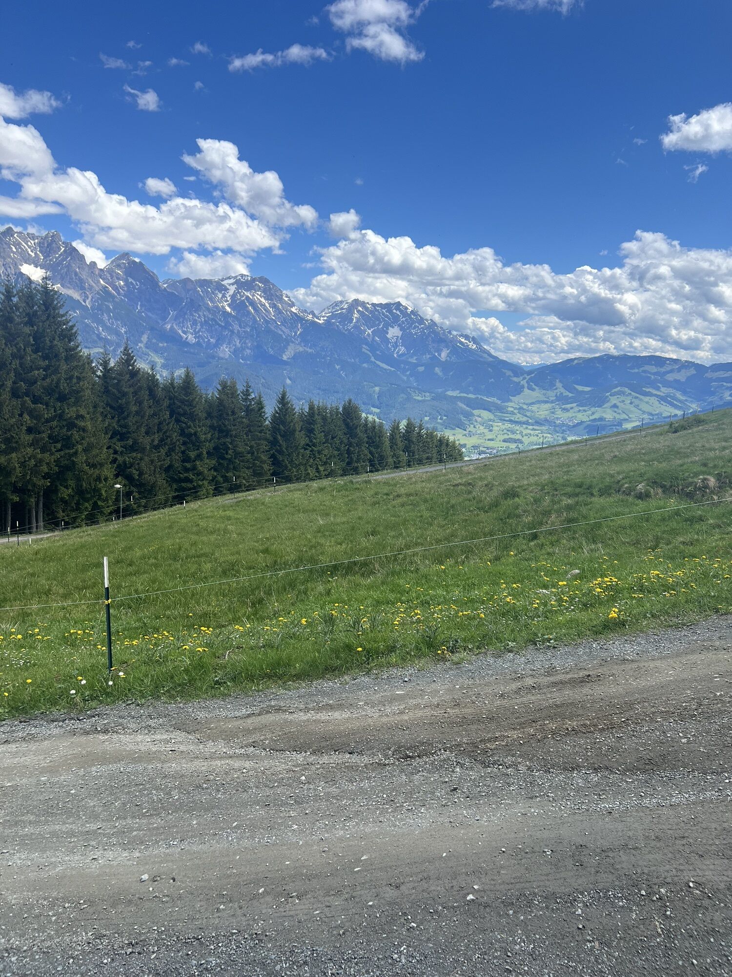
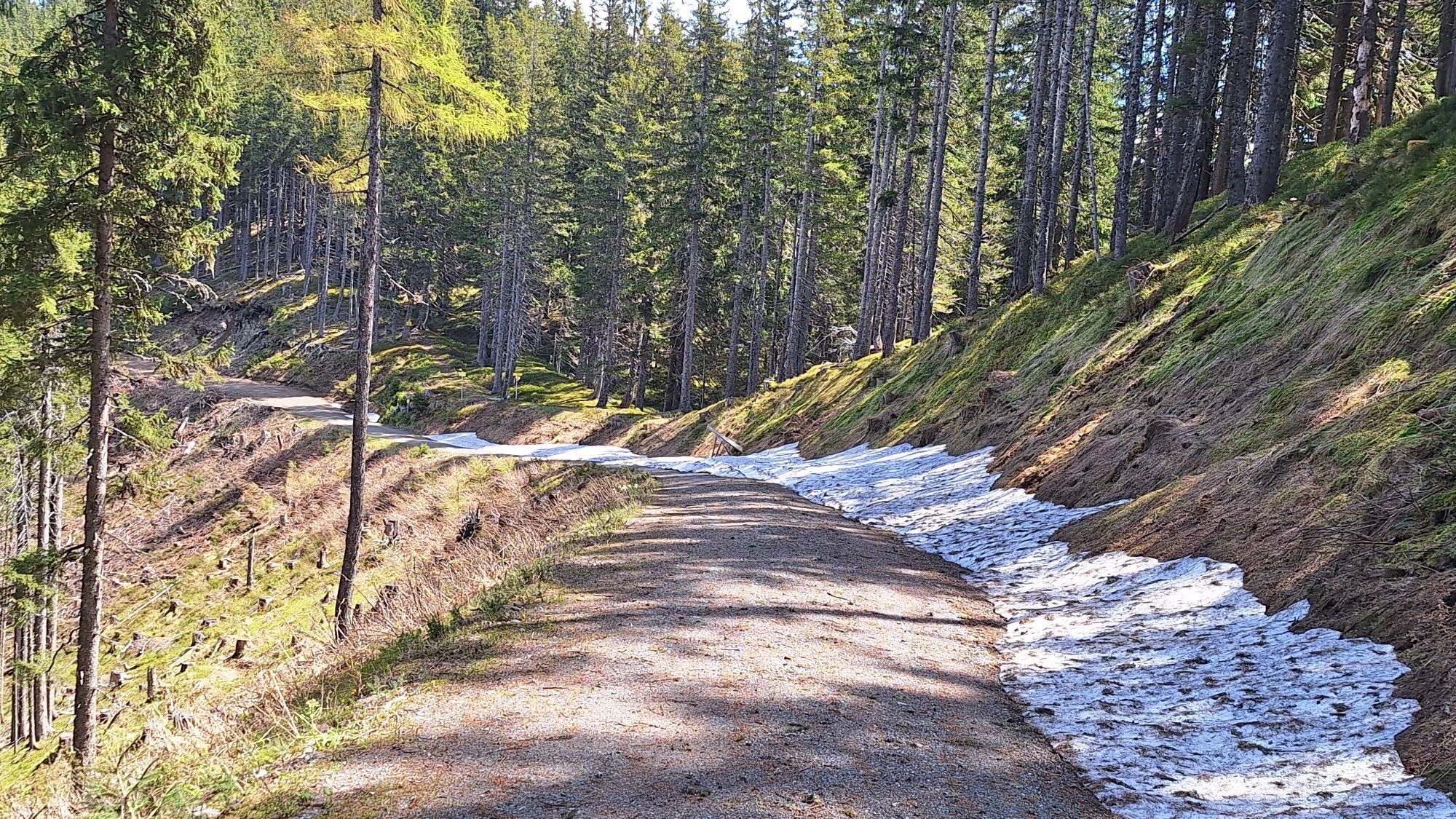
From the chairlift, you first hike comfortably over the forest road in several serpentine bends to the Biberg mountain inn. From here, continue uphill and after about 300 meters in a left hairpin bend,...
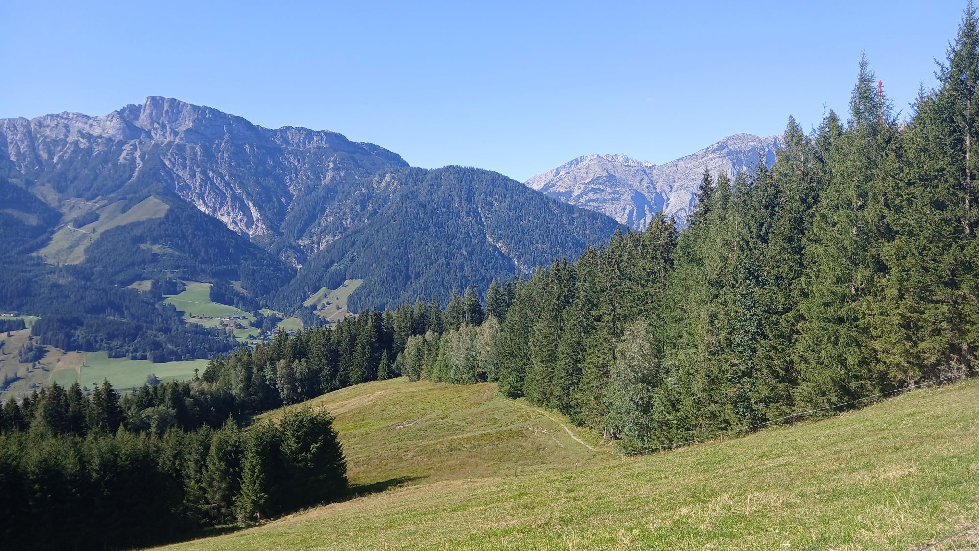
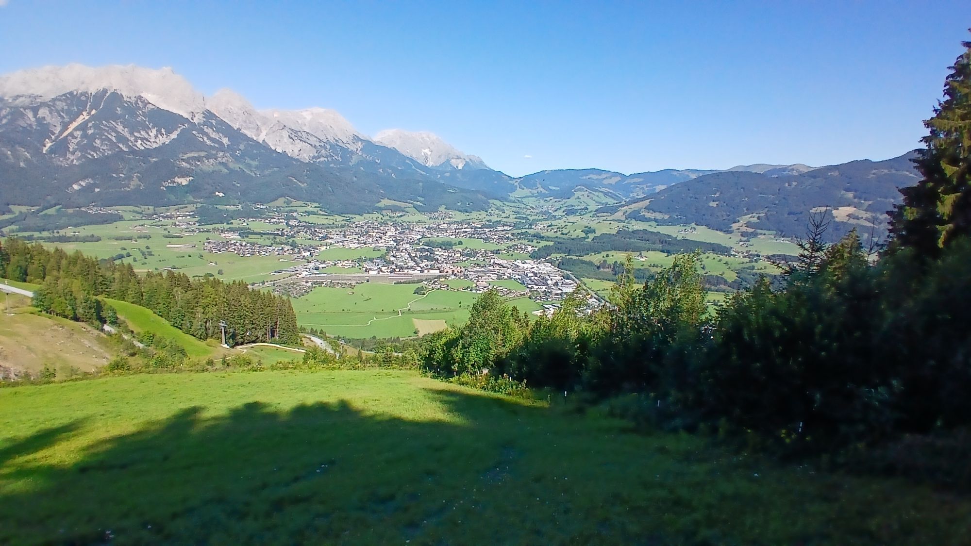
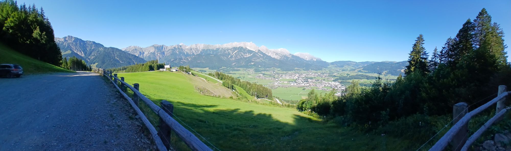
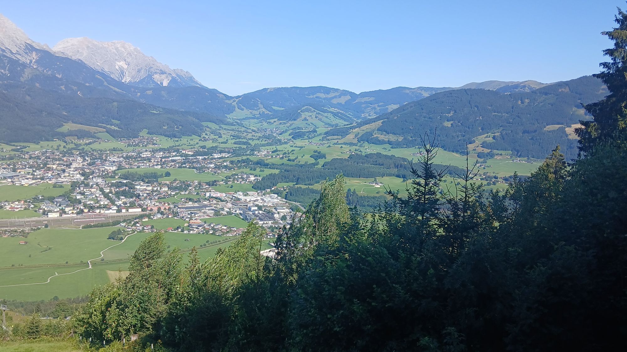
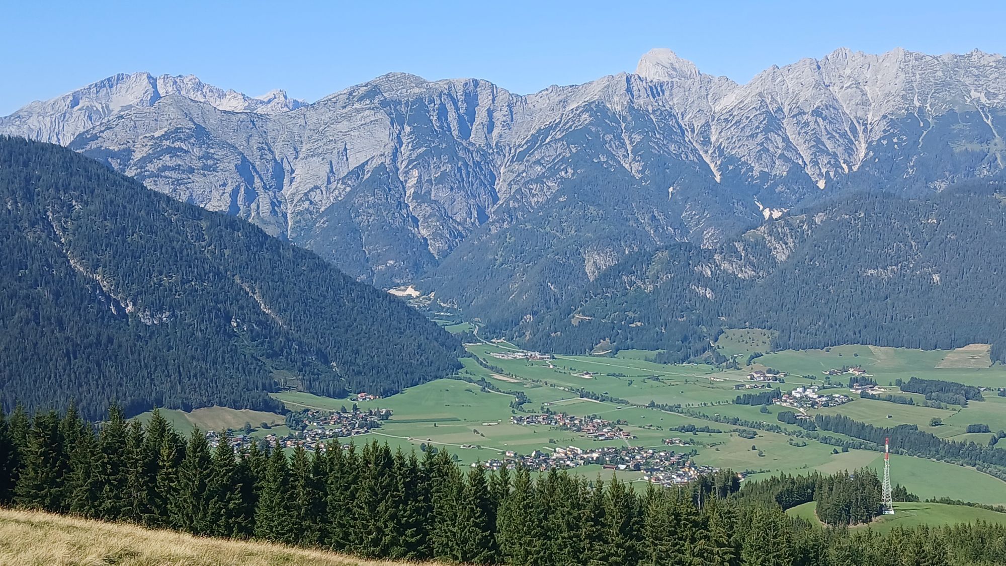
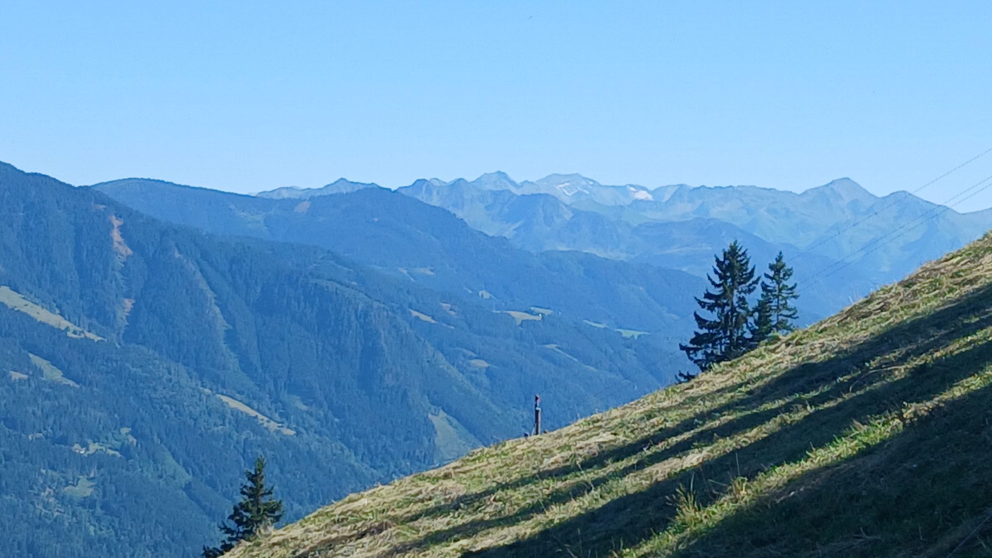
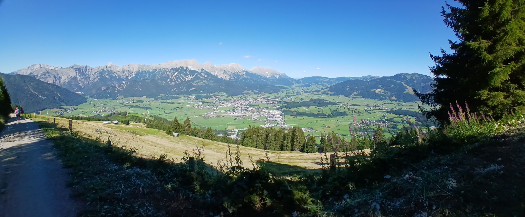
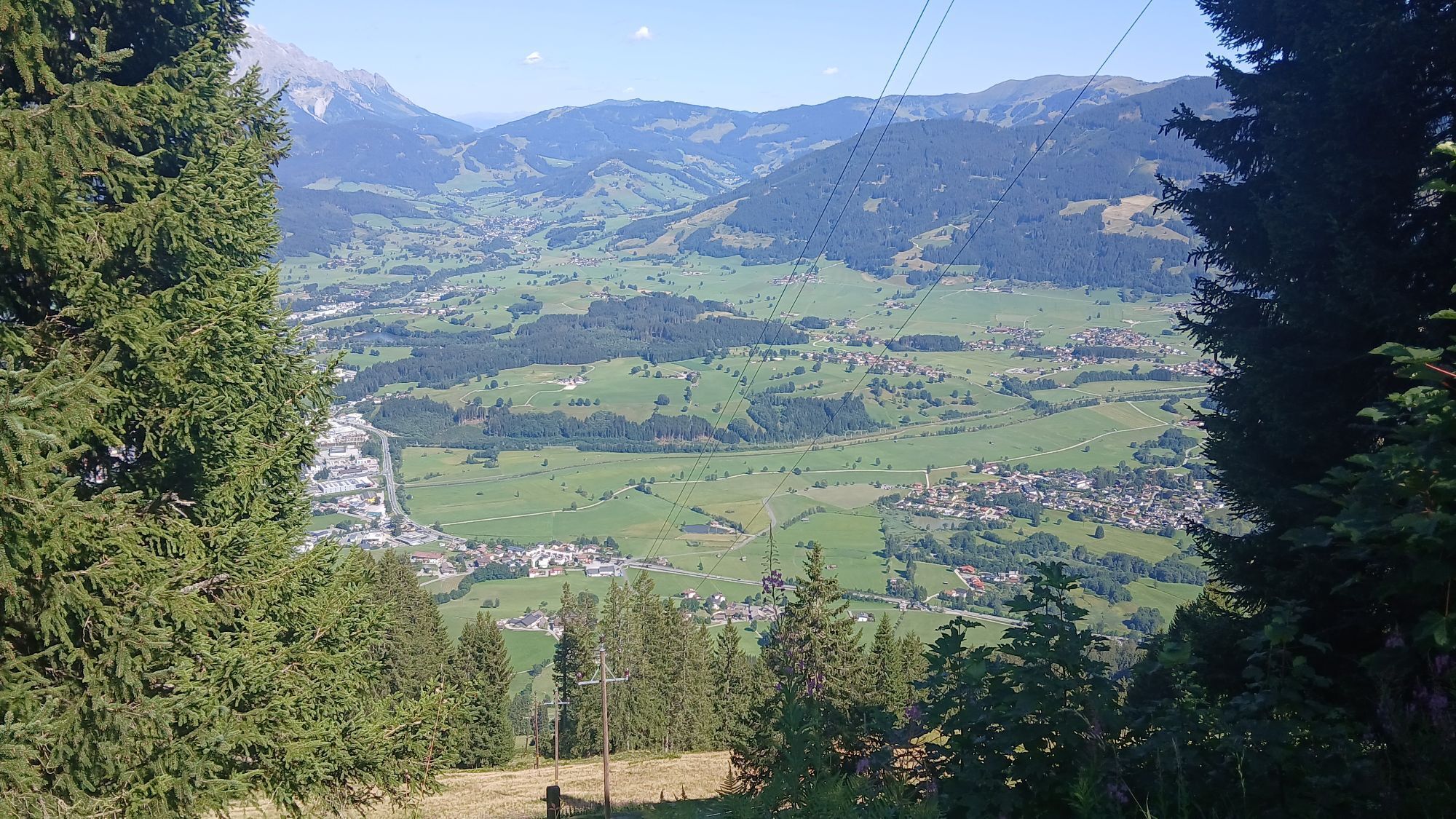
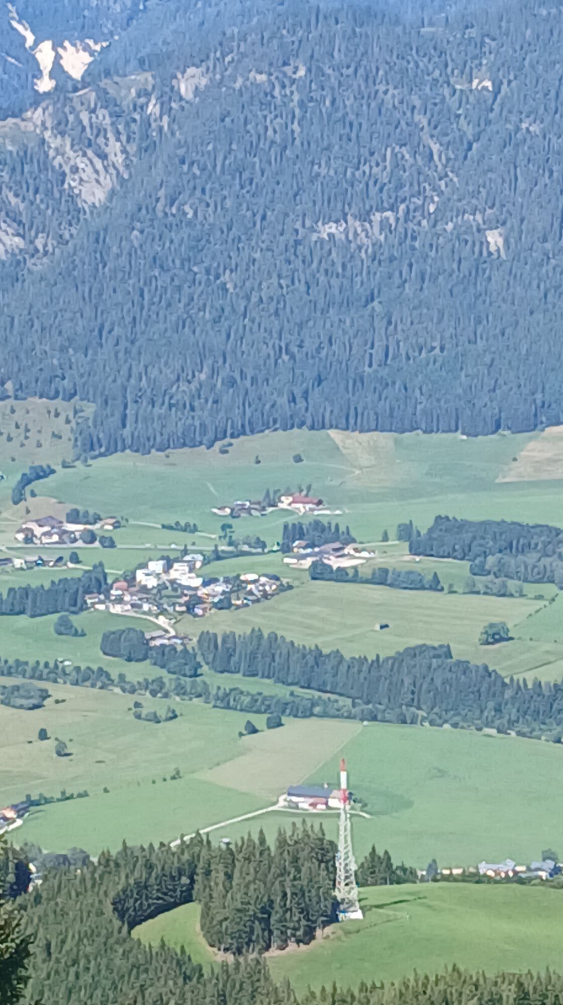
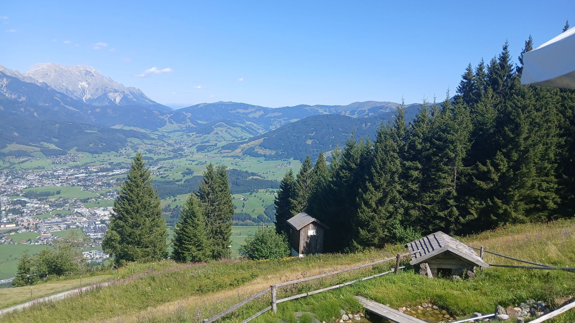
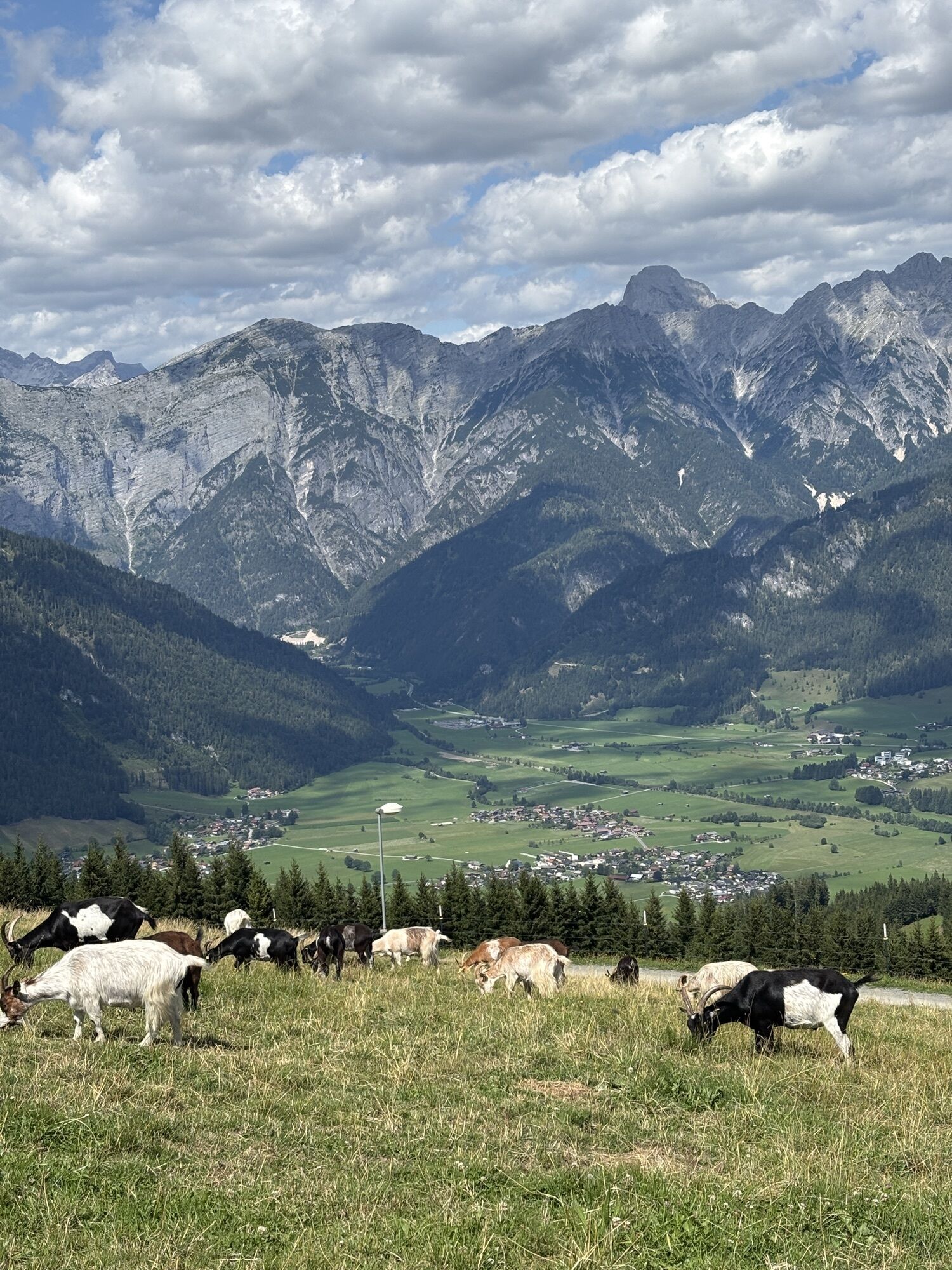
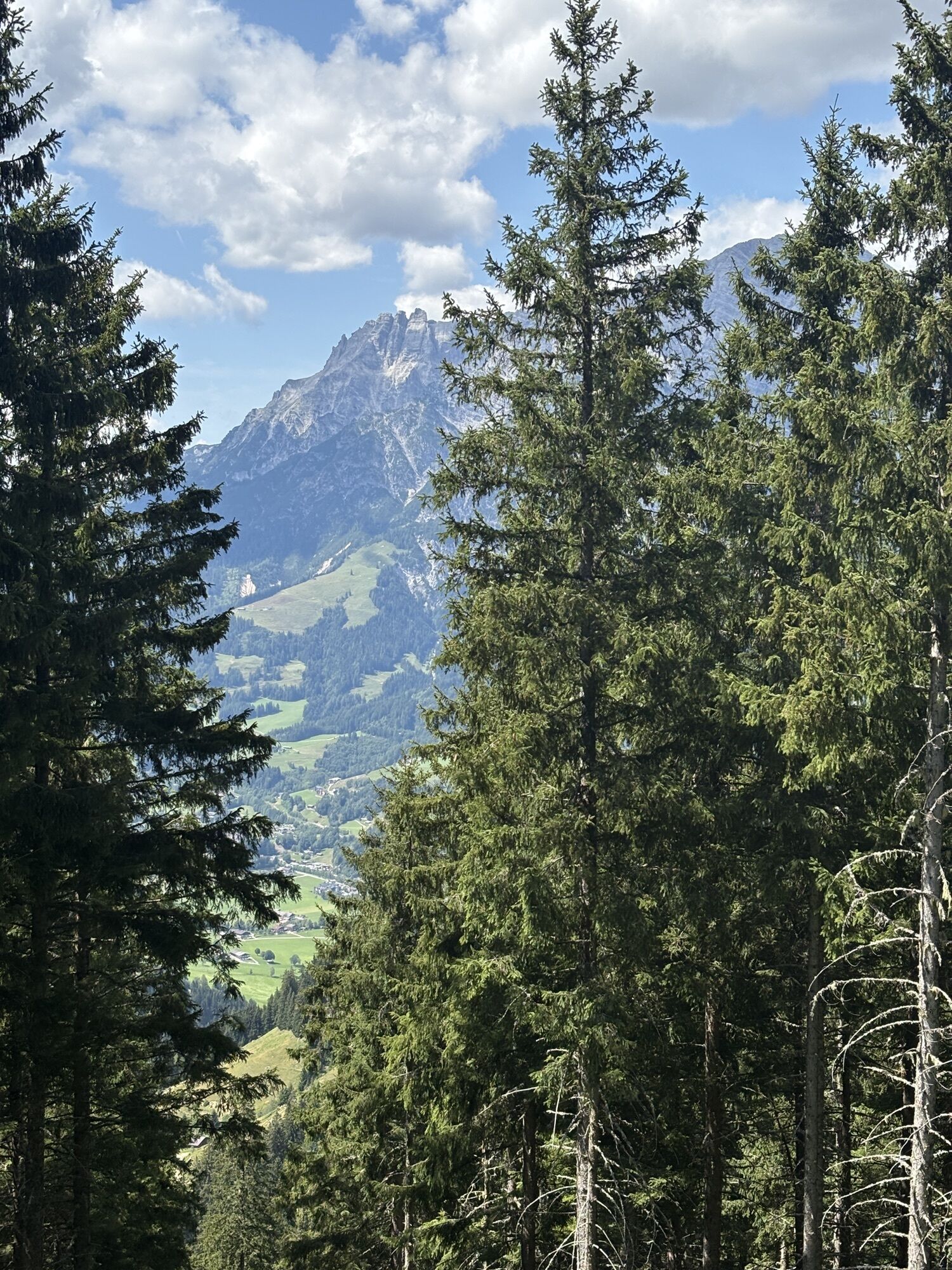
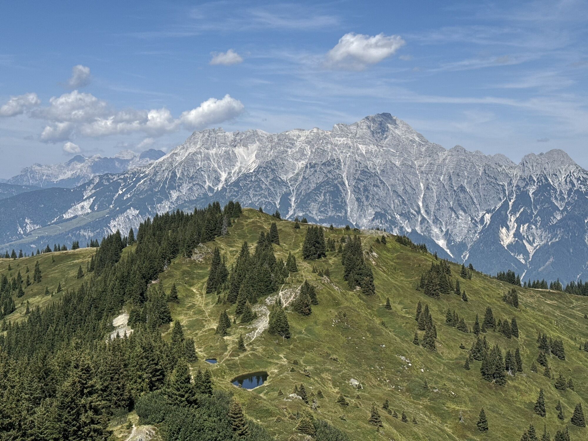
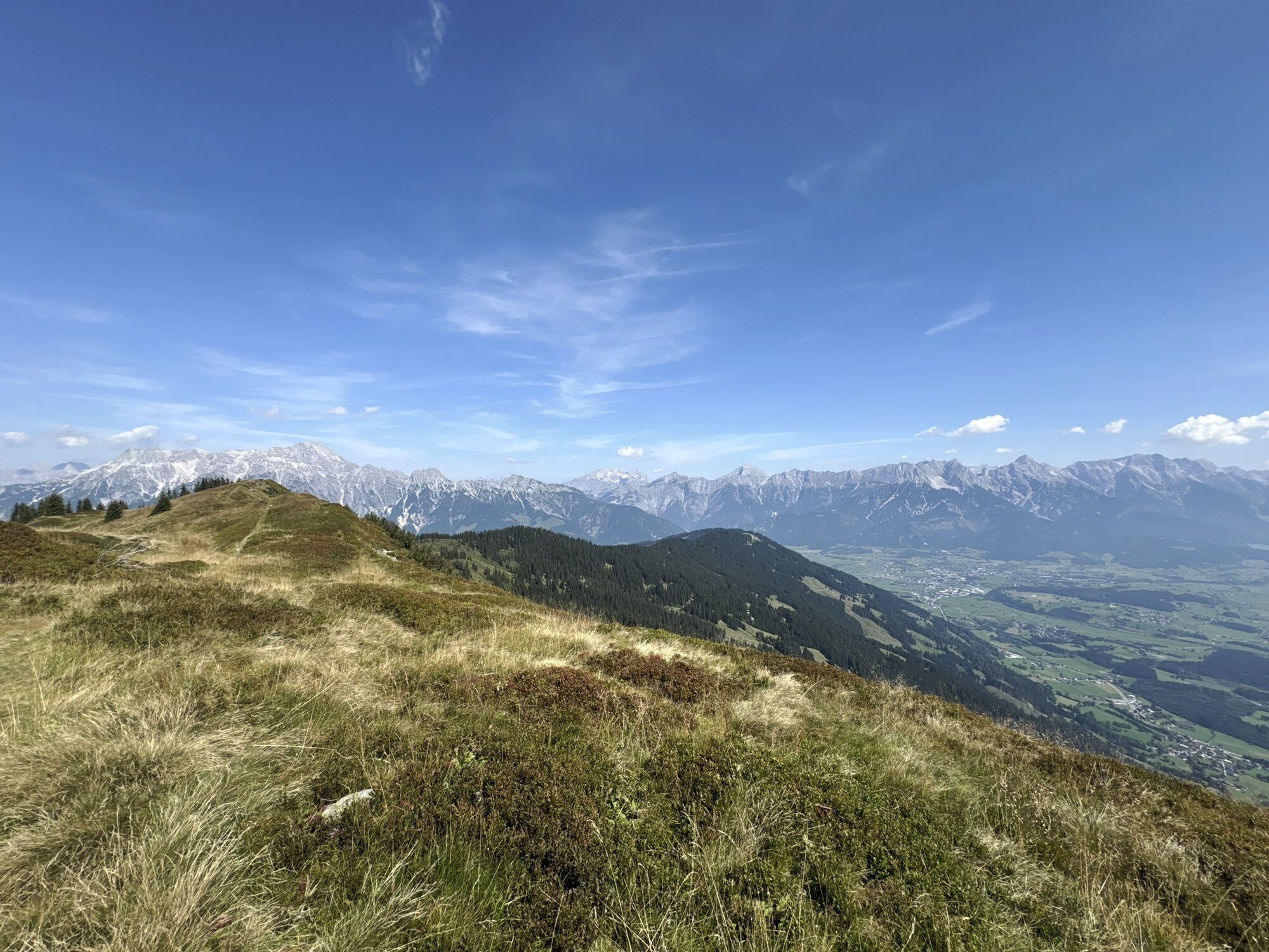
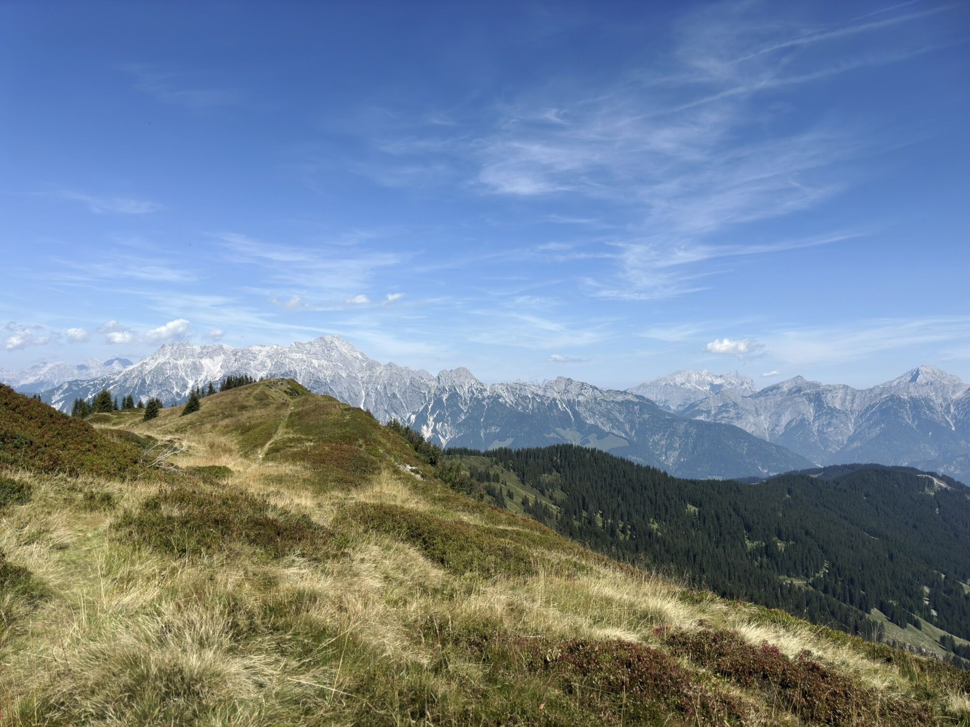
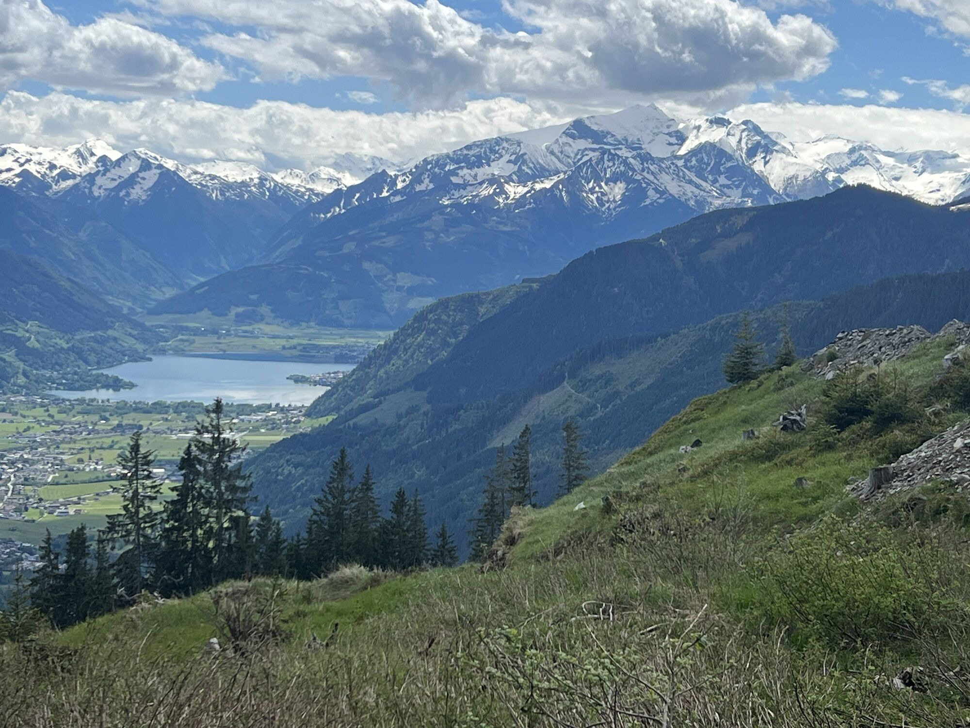
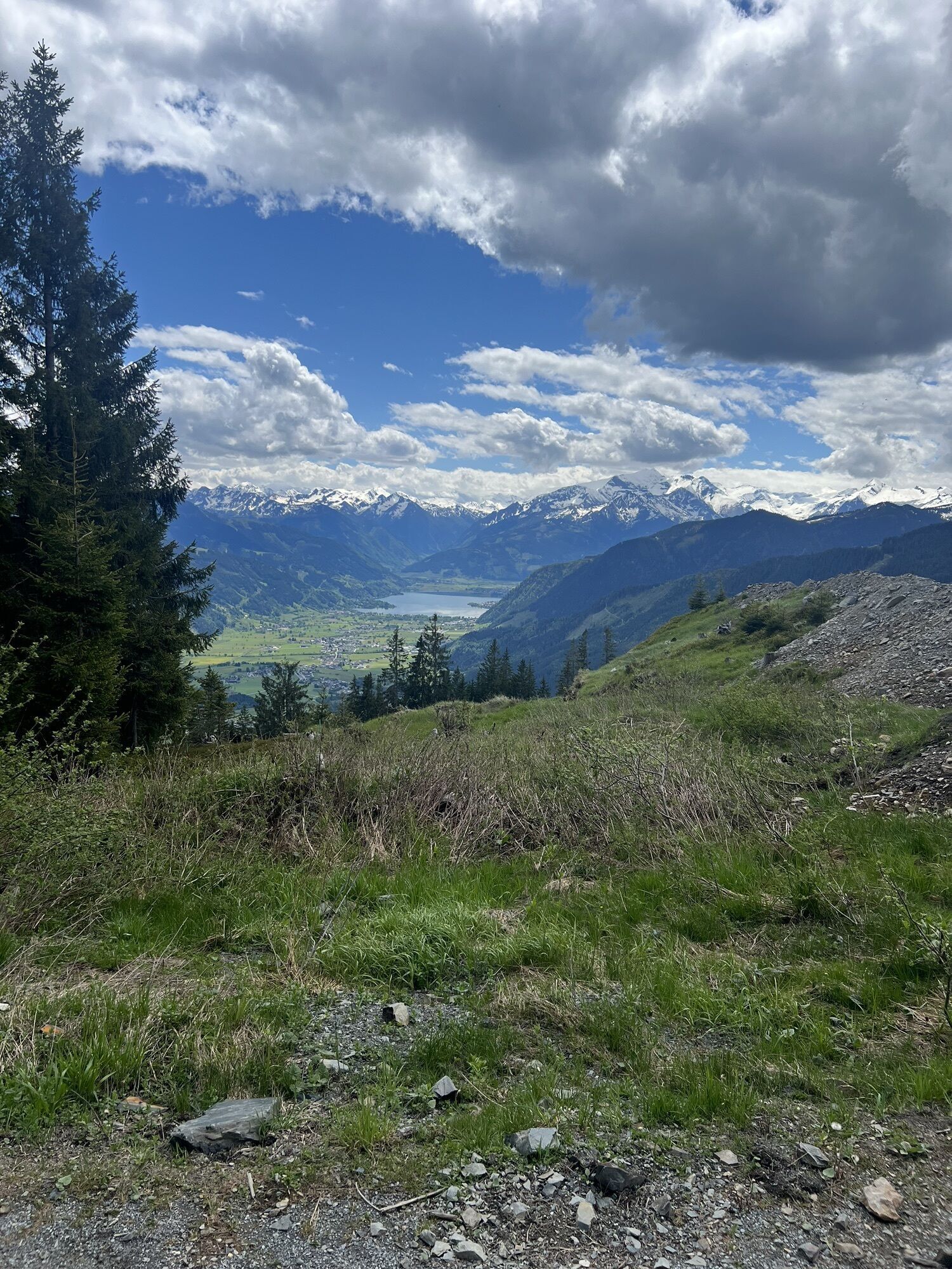
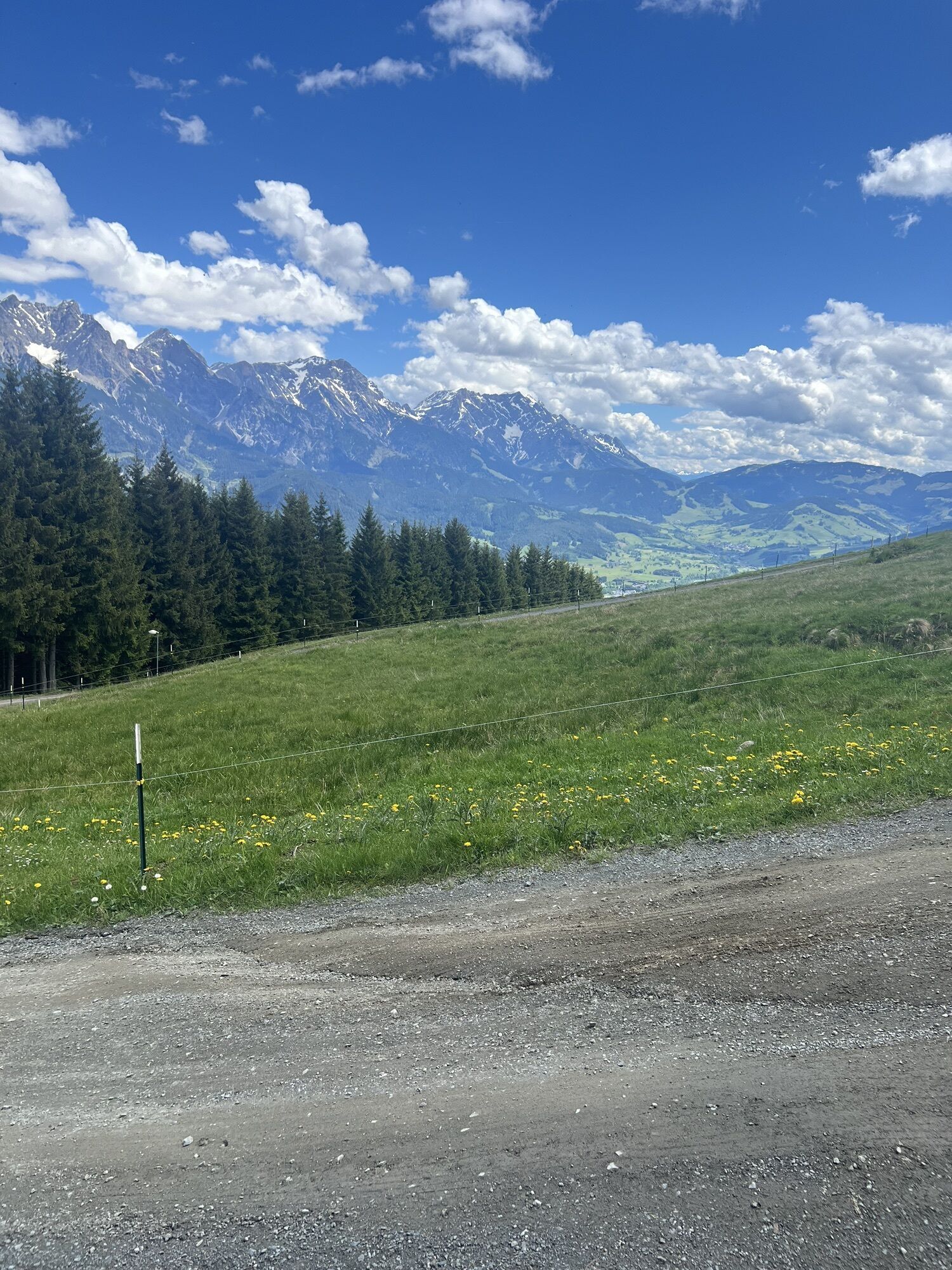
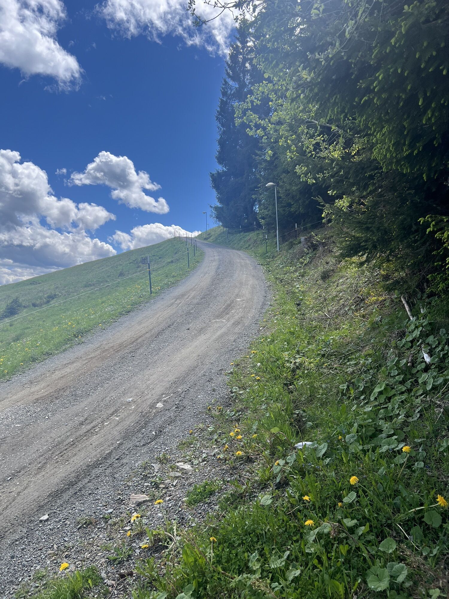
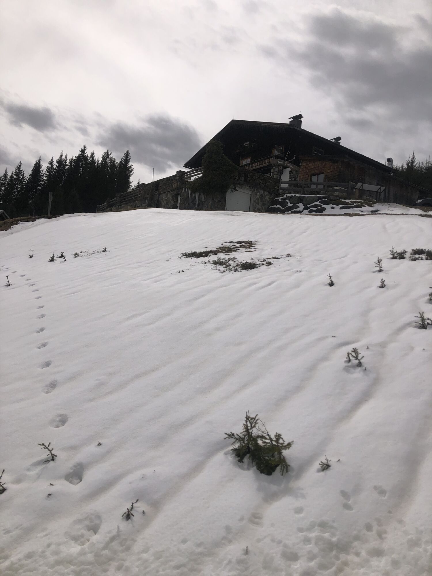
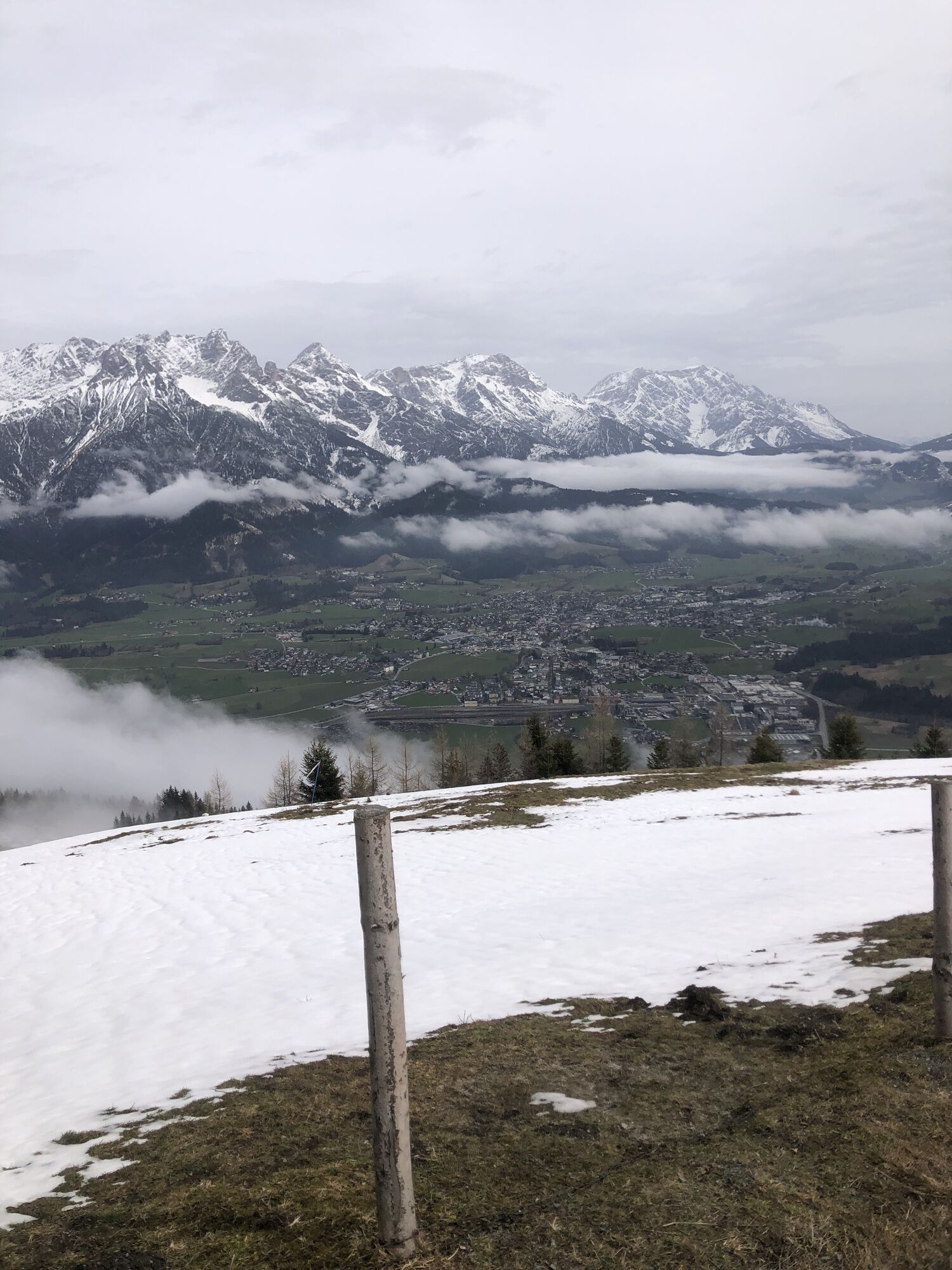
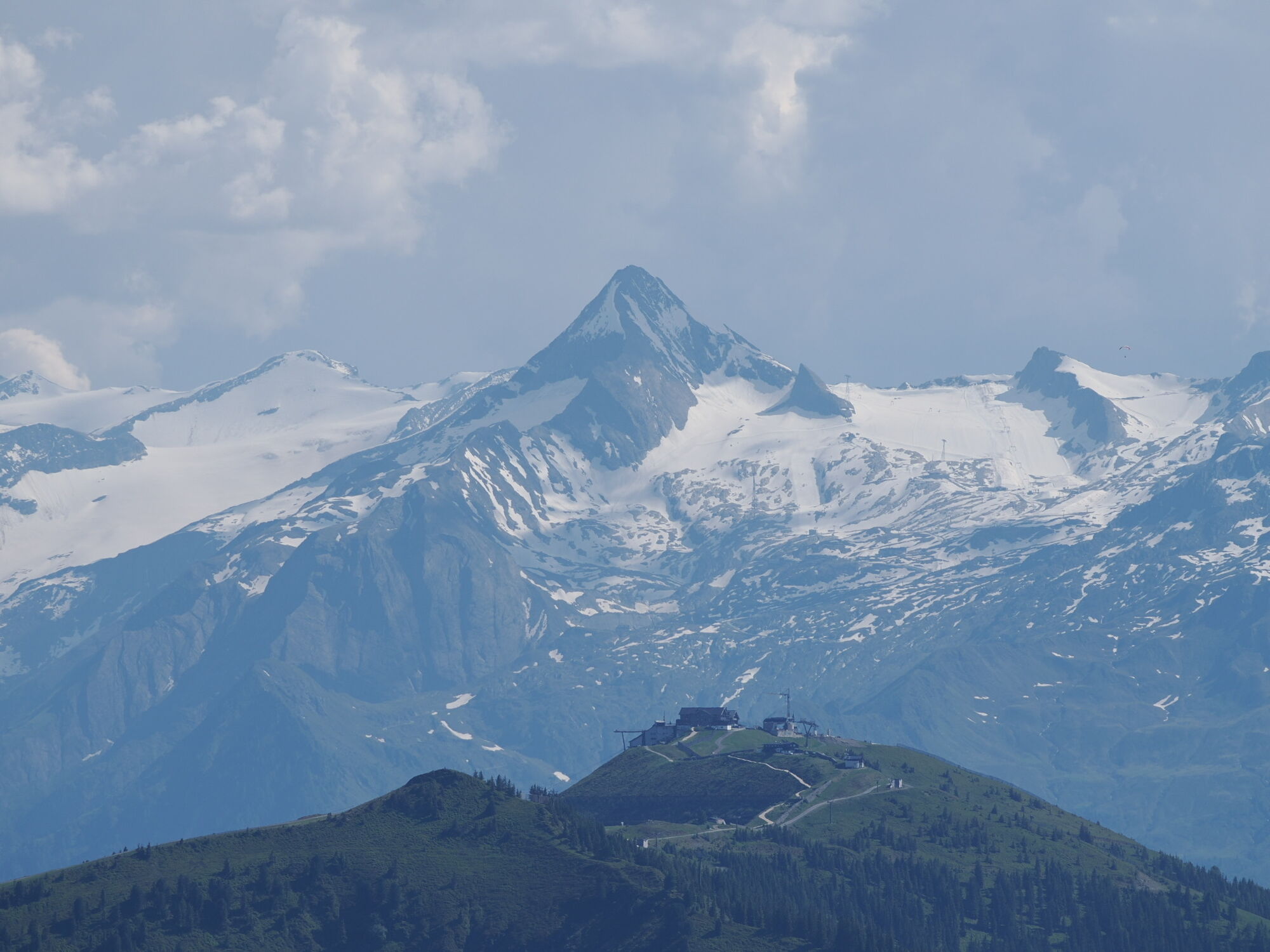
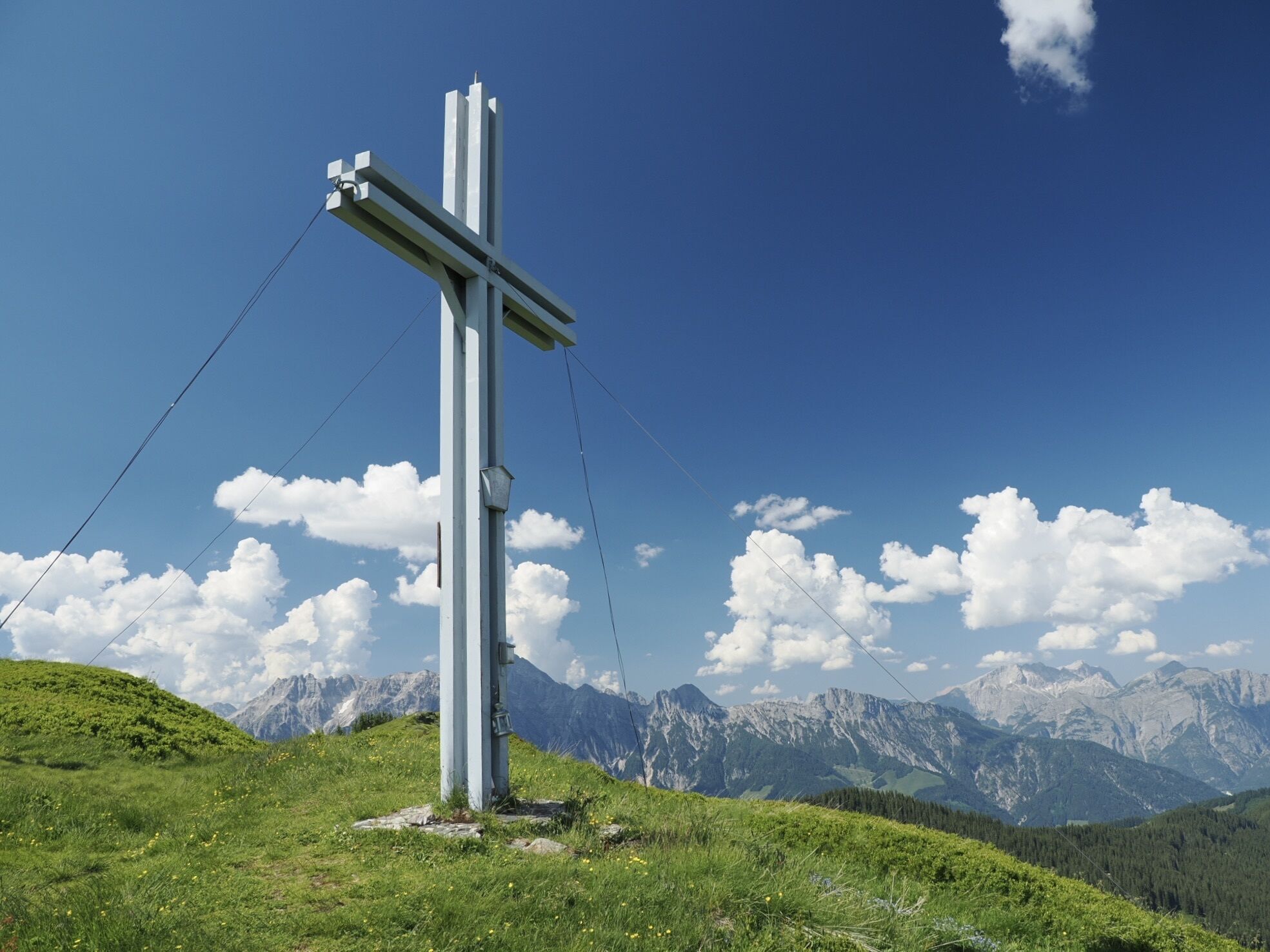
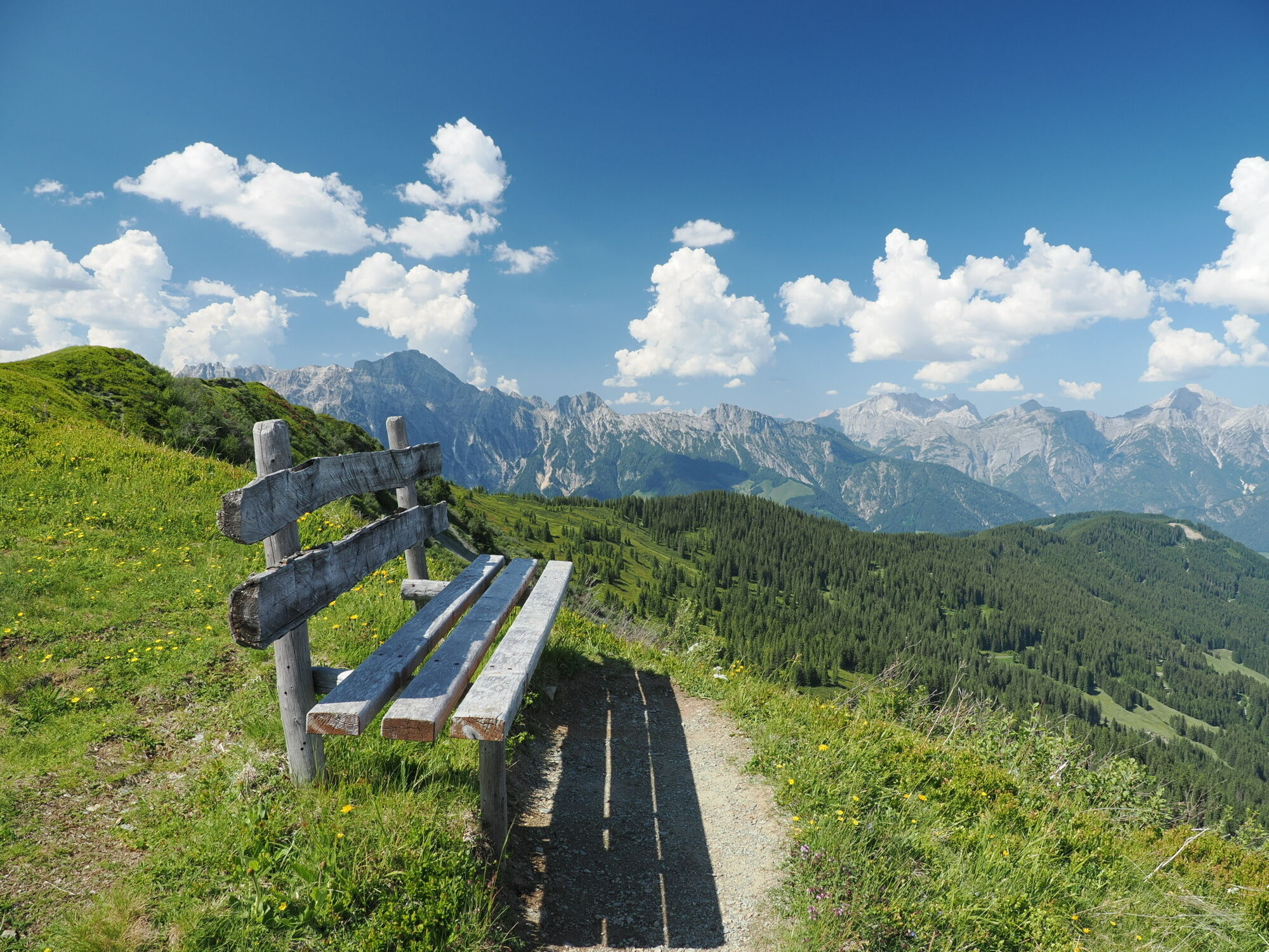
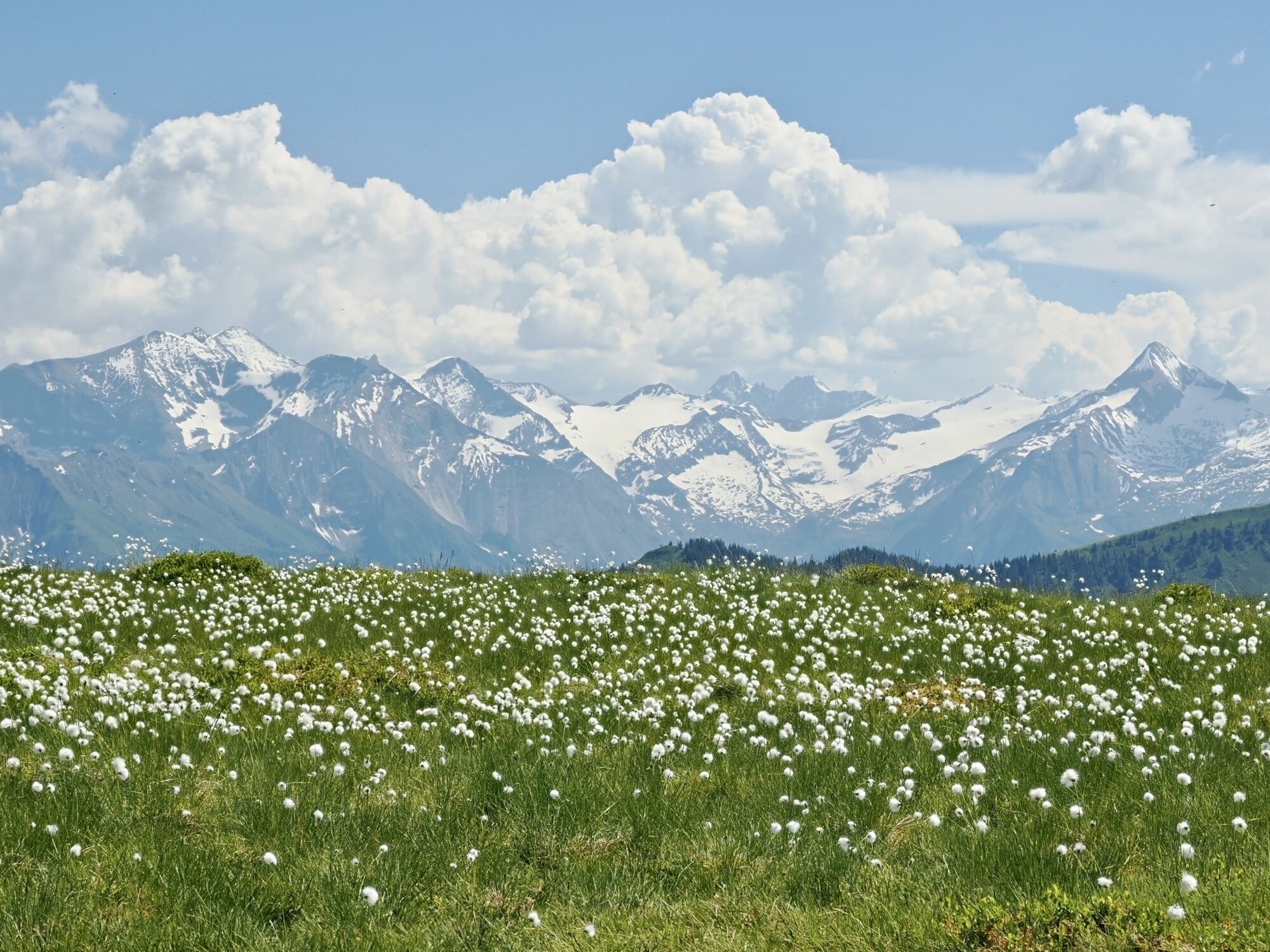
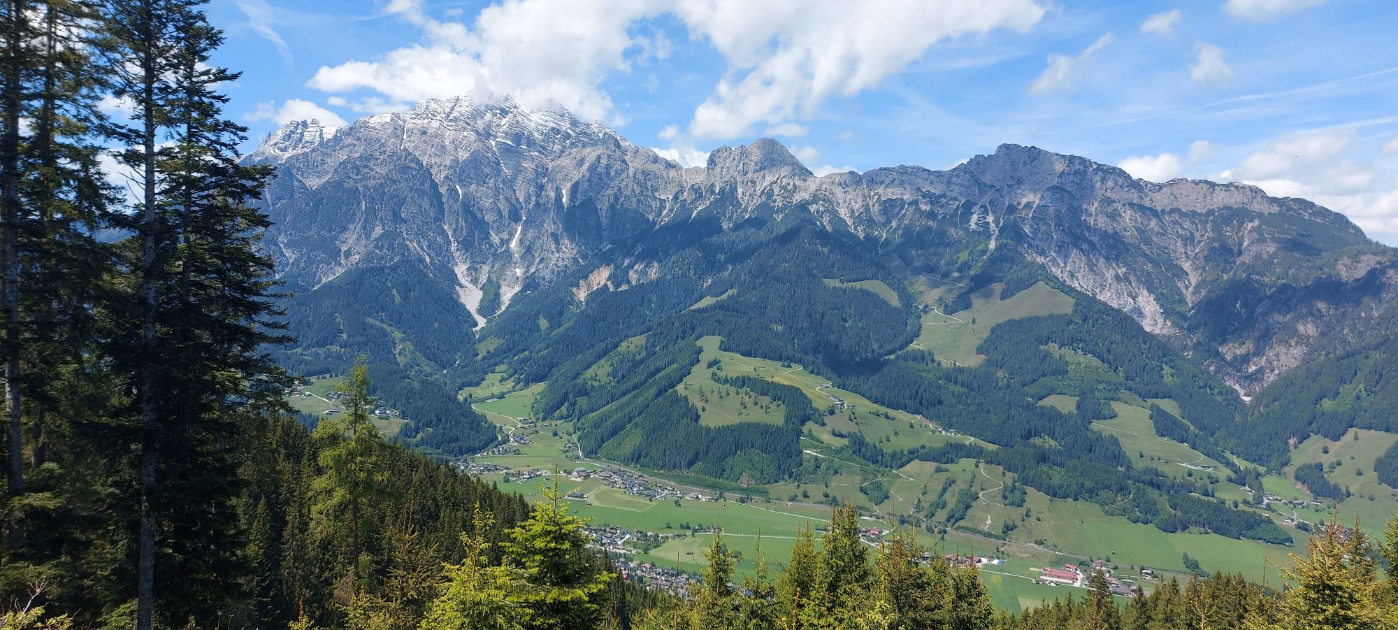
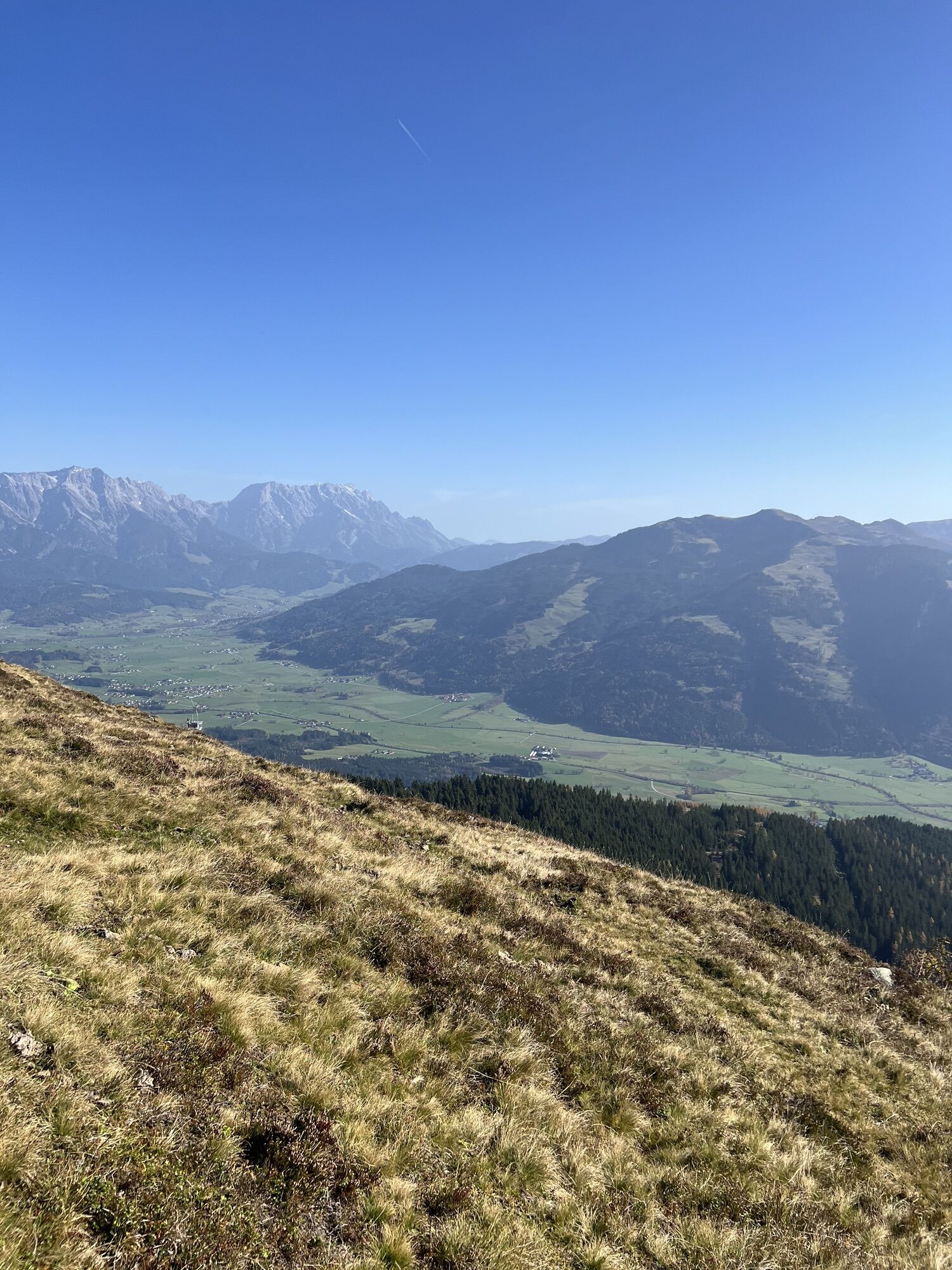
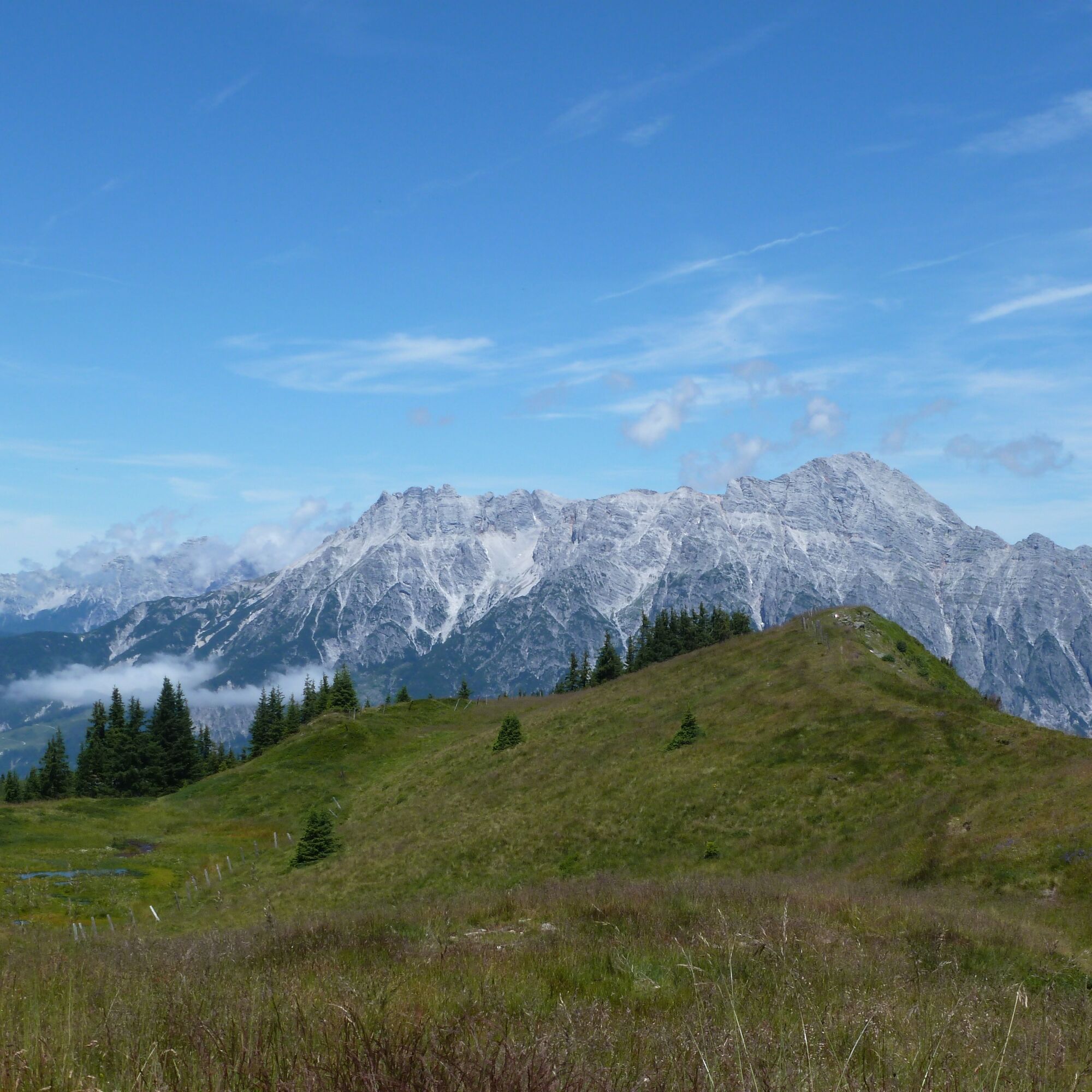
From the chairlift, you first hike comfortably over the forest road in several serpentine bends to the Biberg mountain inn. From here, continue uphill and after about 300 meters in a left hairpin bend, follow a narrower forest path uphill to the right. Continue over the Weikersbacher Kopf, always along the ridge on the Saalachtaler Höhenweg. Shortly before the Durchenkopf, the Alpenrosenweg branches off to the right (signposting, marking 77). The path now leads with gentle ups and downs mostly along the forest edge through a magnificent dwarf shrub heath below the Haiderbergkogel and the Sausteige. From May to July, the magnificent Alpenrosen, a rhododendron species native to the mountains of Europe, bloom here. But also later in the year, botany enthusiasts will enjoy the diverse flora, and those less interested in botany will certainly appreciate the richly laden blueberry bushes. Above the Gstallneralm, you reach the idyllic alpine meadows on the southern flank of the Sausteige and hike over these sometimes steeper, sometimes flatter to the scenic highlight of the tour. Along the Hüttenweg (marking 11), continue along the ridge over the Haderbergkogel and the Durchenkopf back towards the starting point. Always in view are the mighty Leoganger Steinberge with their highest peak, the 2634-meter-high Birnhorn, and the characteristic rock layering. Part of the view to the west reaches as far as the Wilder Kaiser. A variation is possible here by hiking northwest below the Saalachtaler Höhenweg along the slope (marking 773). Now the Biberg inn invites you to stop and the crowning finale of the tour is the ride down the 1.6 km long summer toboggan run back to the parking lot.

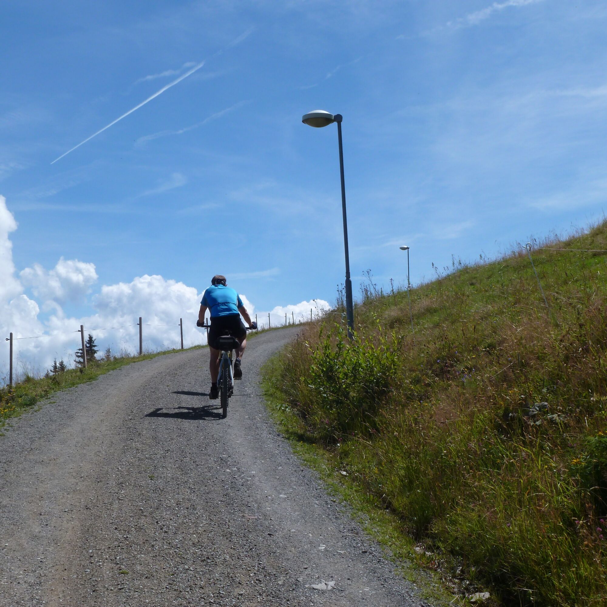
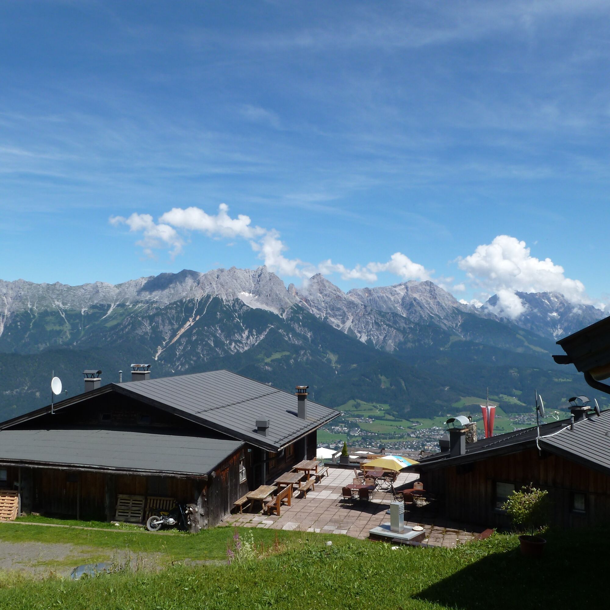
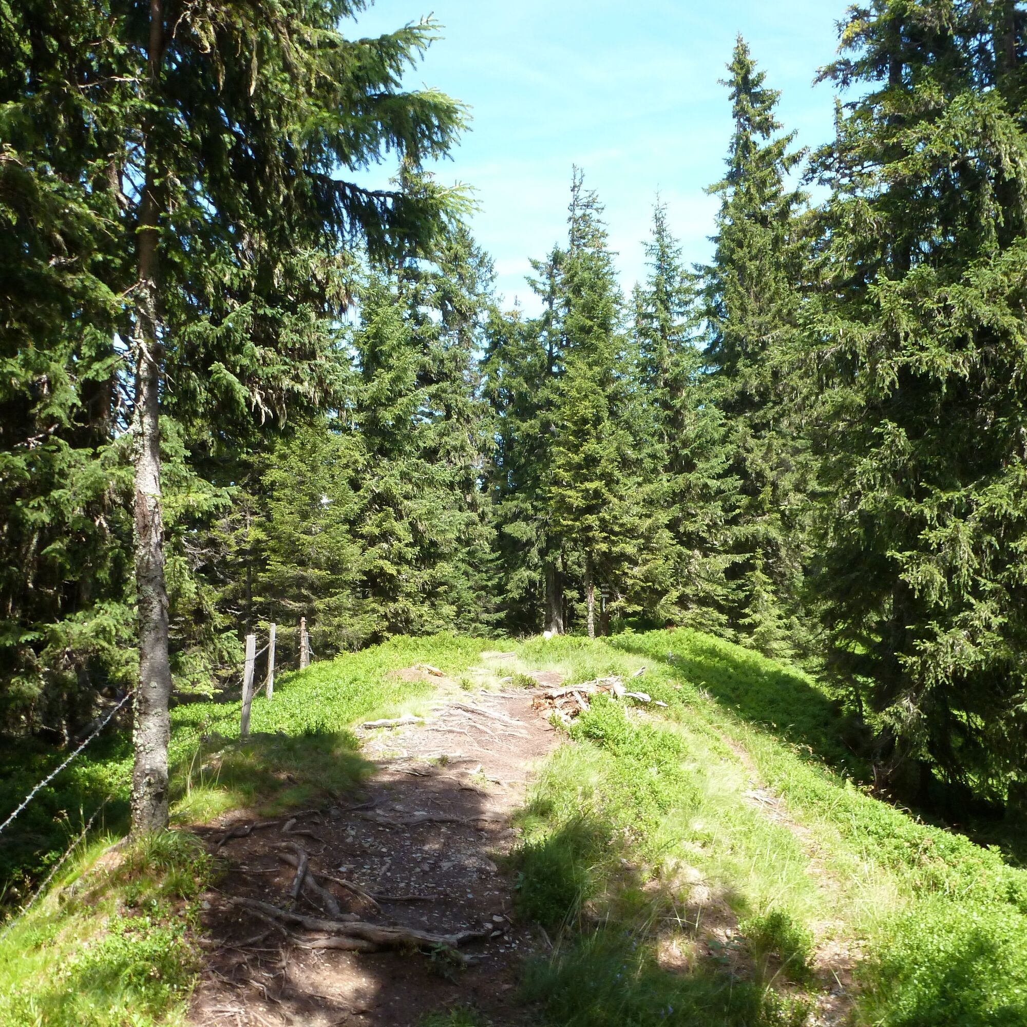
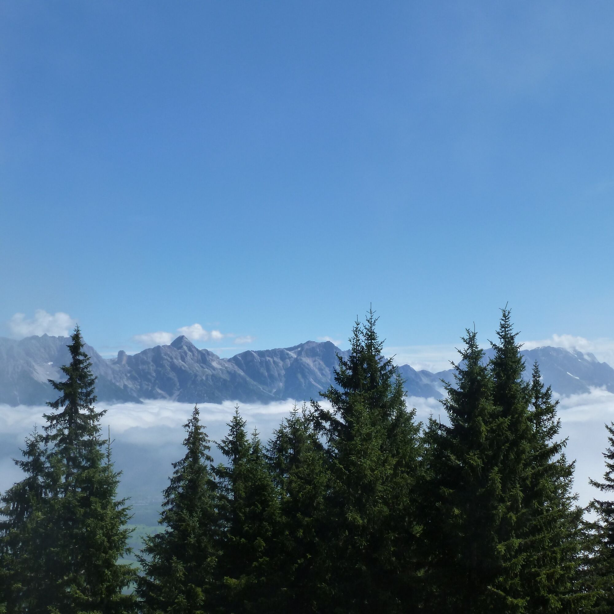
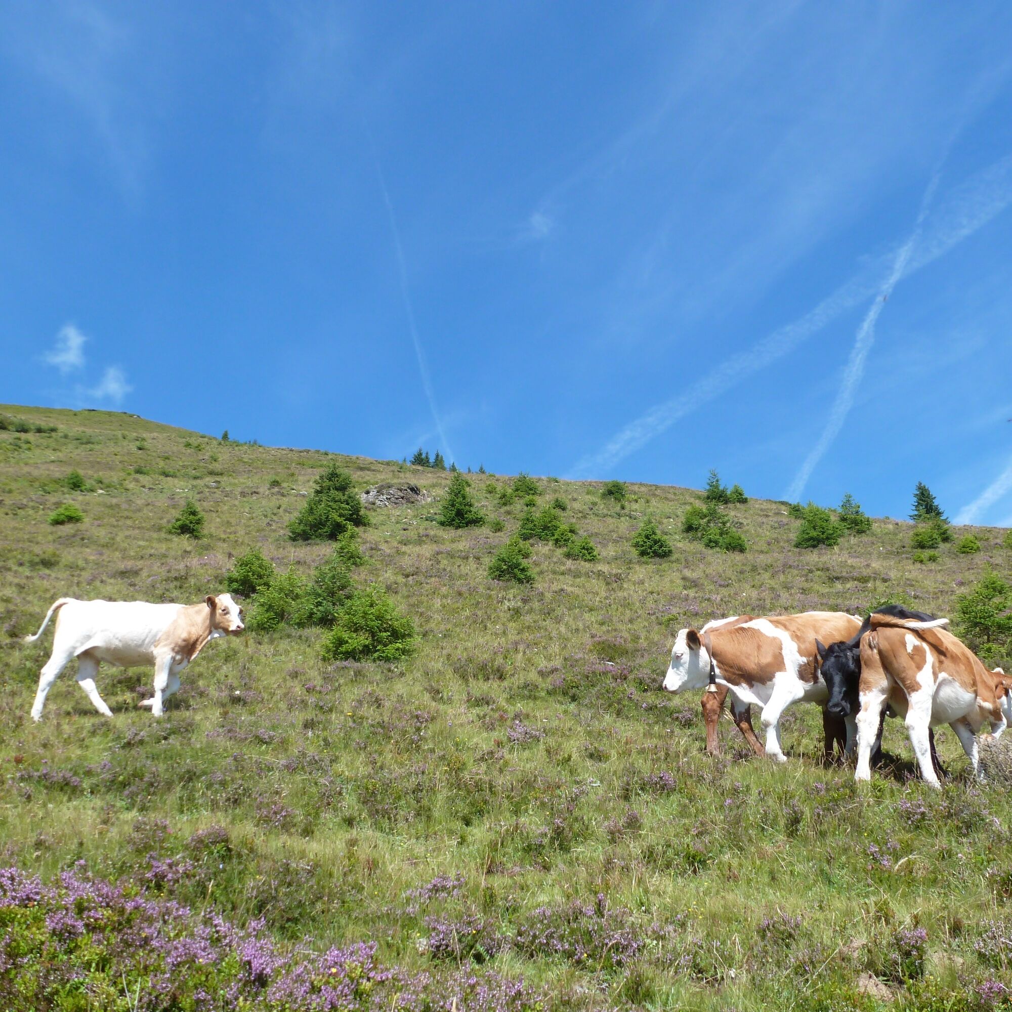
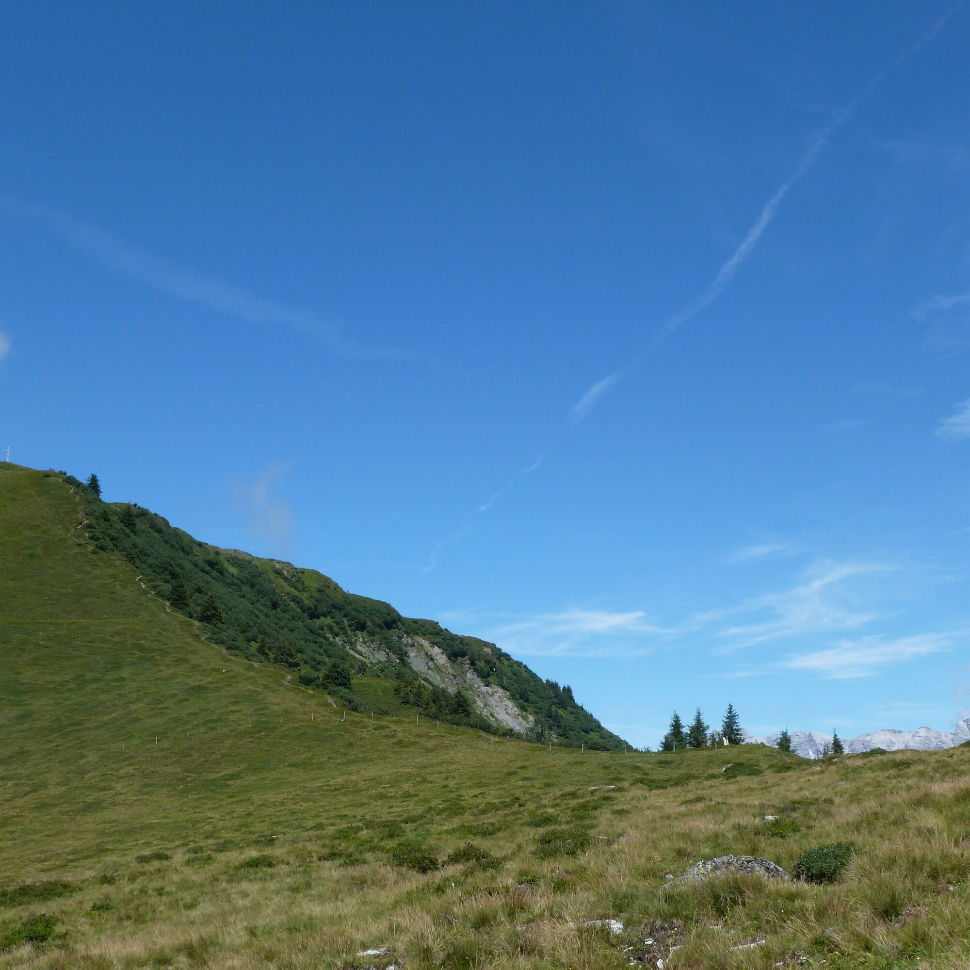
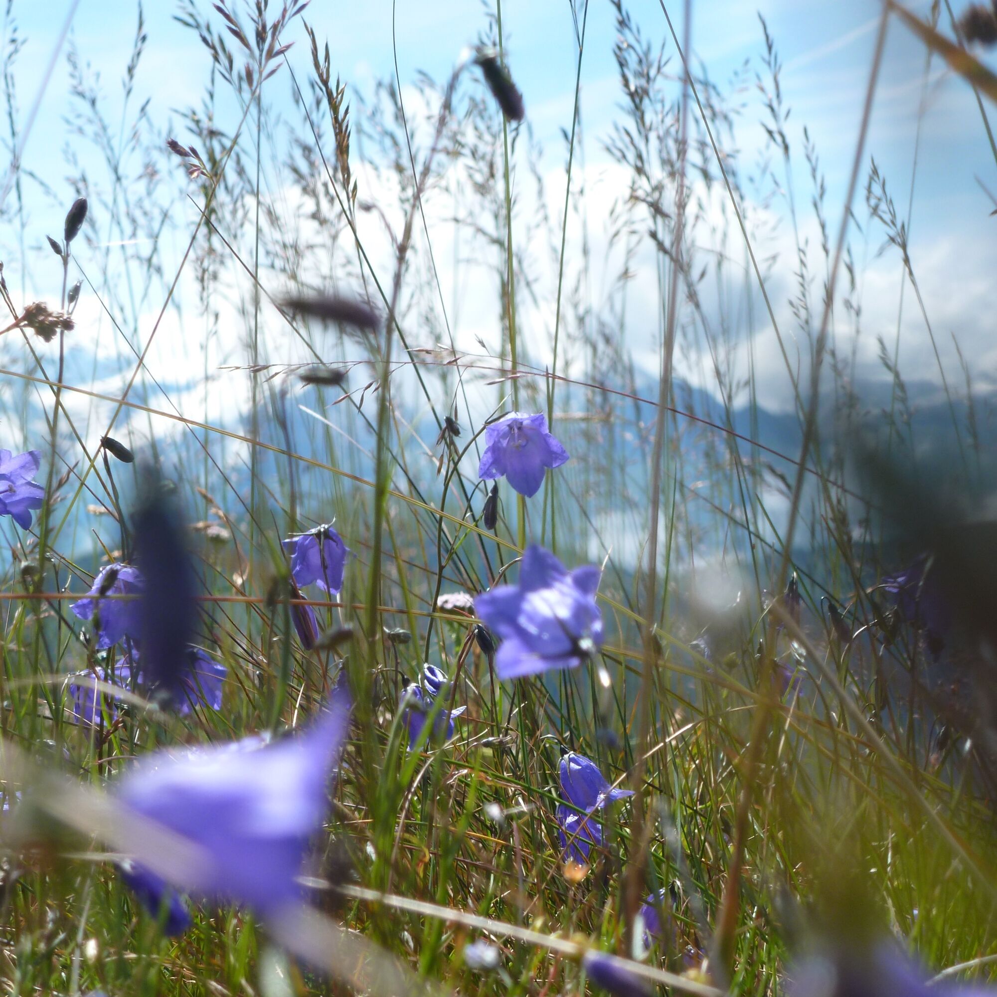
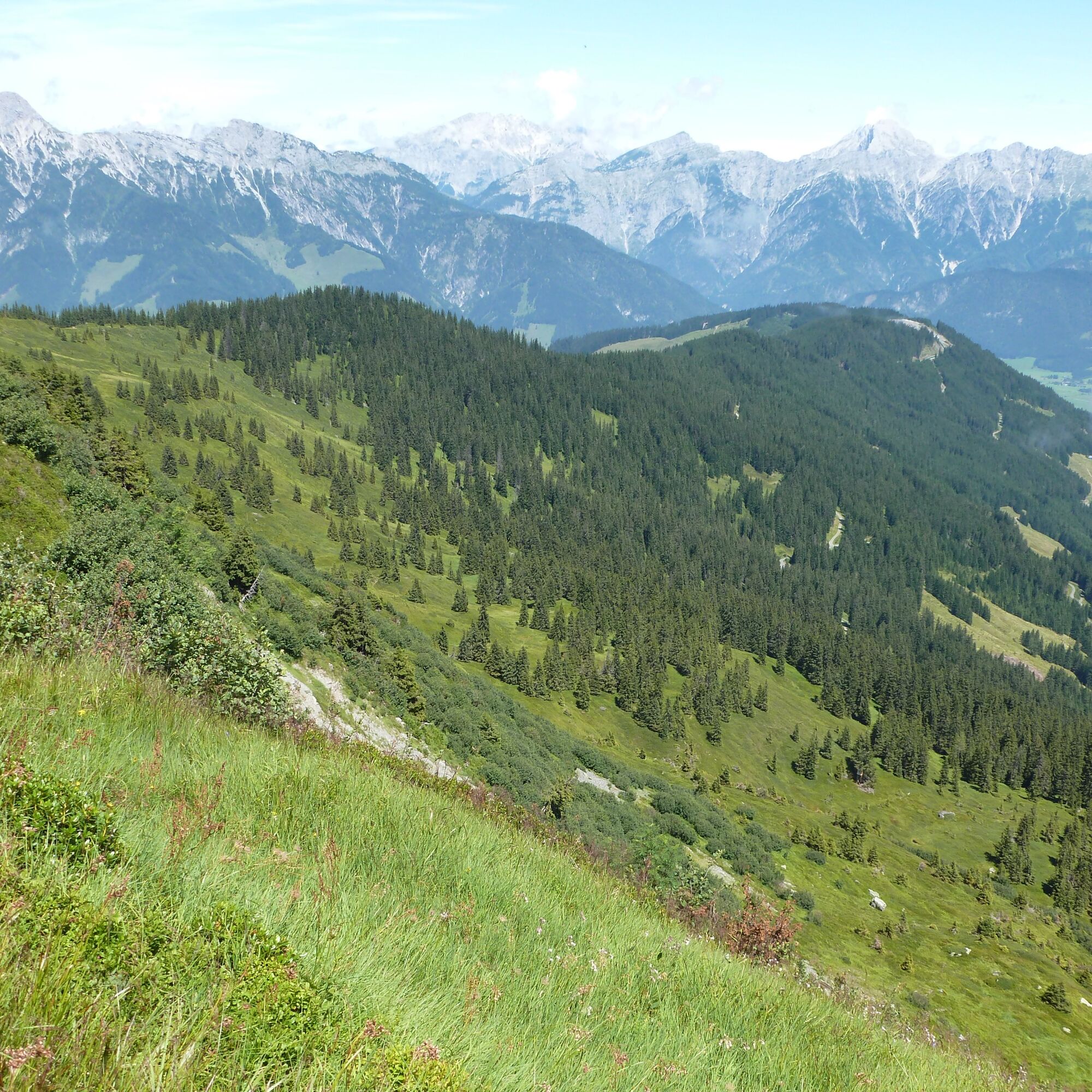

Forest road and paths. Mostly rather gentle inclines, partially steeper to the Biberg inn and to the summit of the Sausteige.
Tak
Tak
Tak
Tak
Since the route mostly follows a ridge and the hike is overall relatively long, hiking during thunderstorms is strongly discouraged. On hot days, bring enough fluids as there are hardly any opportunities to refill drinking water supplies along the way.
On the B311 direction Lofer/Saalfelden. Shortly before Saalfelden turn left towards Biberg. Drive the road to the end at the parking lot by the chairlift. About 8 km, 10 minutes.
Parking lot at the valley station of the Huggenberg chairlift.
Summer toboggan run info and dining options: www.biberg.at/index.php?option=com_co...
Turning back earlier is possible at any time. A shorter and also very scenic alternative is the Saalachtaler Höhenweg up to the Durchenkopf. From the Sausteige, you can also follow the ridge further west to the Großer Asitz and descend to Leogang with the cable car (bus connection to the starting point).

 Uzyskaj wgląd Zawsze na żywo z ponad 9 500 kamer internetowych. bergfex Jako użytkownik Pro, możesz teraz zobaczyć odpowiednie kamery internetowe dla wielu wycieczek w aplikacji wycieczki od. Pozwala to na bezpośredni podgląd aktualnych warunków.
 Popularne wycieczki w okolicy
- 4,4
Maria Alm - Riemannhaus
Wędrówka 3,99 km - 4,3
Schwalbenwand Nr. 80, 81, 82
średniWędrówka 13,0 km - 4,6
Steinalm
światłoWędrówka 2,71 km - 4,5
Peter-Wiechenthaler Hut
średniWędrówka 4,32 km - 4,9
Breithorn
średniWędrówka 10,0 km - 4,3
Persailhorn South via ferrata
średniVia ferrata 6,83 km - 4,2
Passauer Hütte
ciężkiWędrówka 4,14 km - 4,2
Maurerkogel (Top)
Wędrówka 10,5 km - 4,1
Berg der Sinne
światłoWędrówka 4,39 km - 4,6
MTB route Ramseiden round (route 1)
średniMountainbike 18,9 km

Wędrówki i tropienie


Nie przegap ofert i inspiracji na następne wakacje
Twój adres e-mail została dodana do listy mailingowej.





