






🌄 Pinzgau walk via Viehhofen - lift support
Poziom trudności: T1
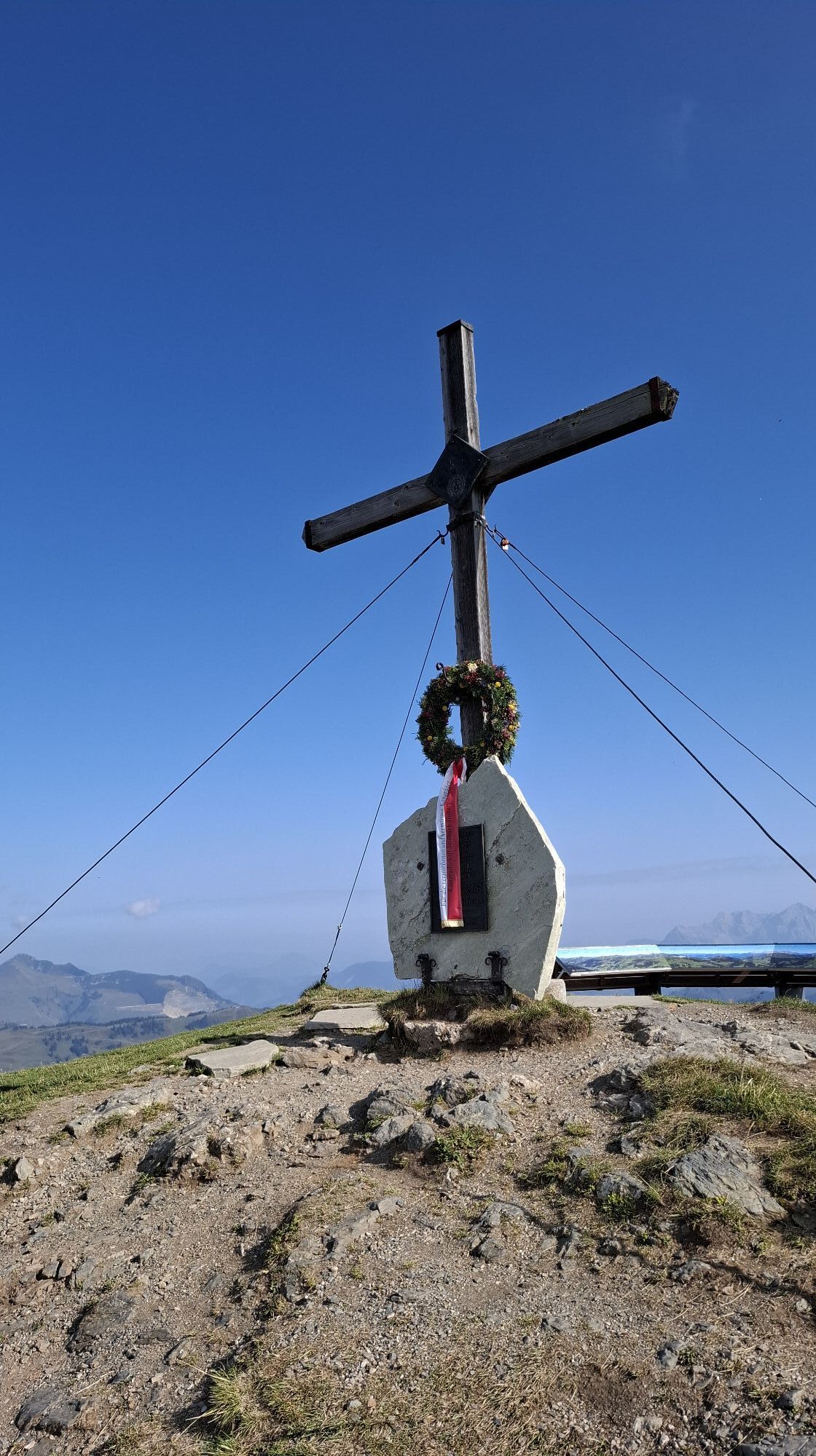
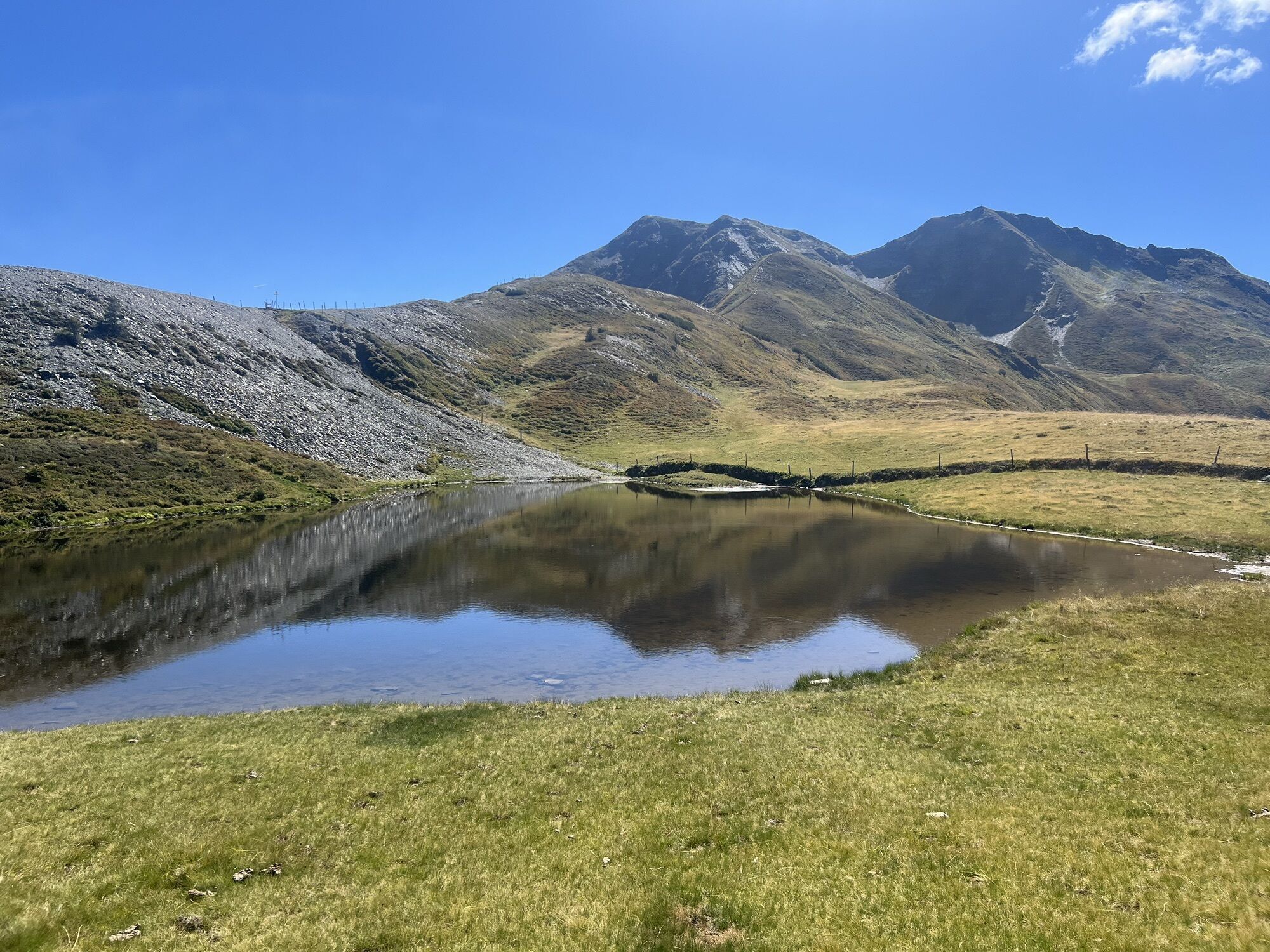
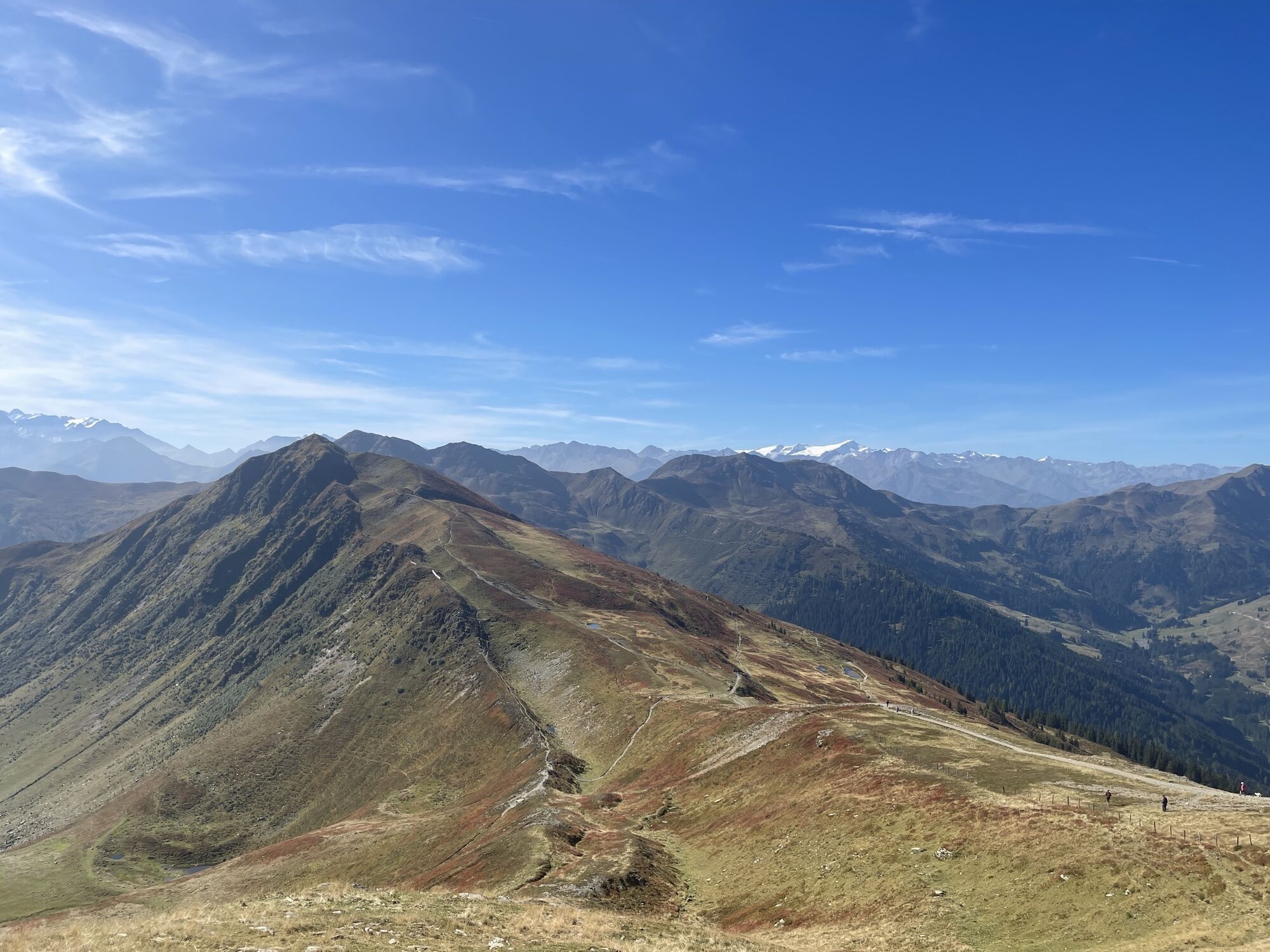
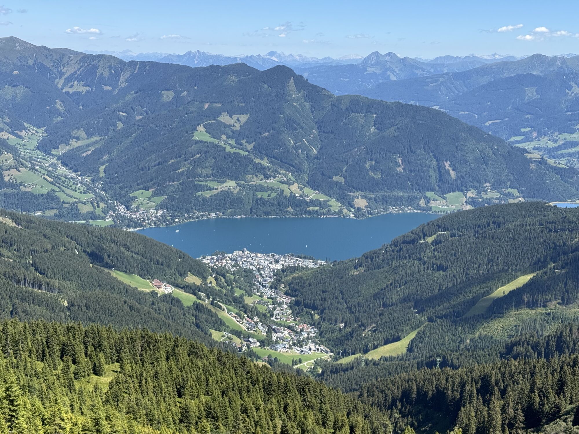
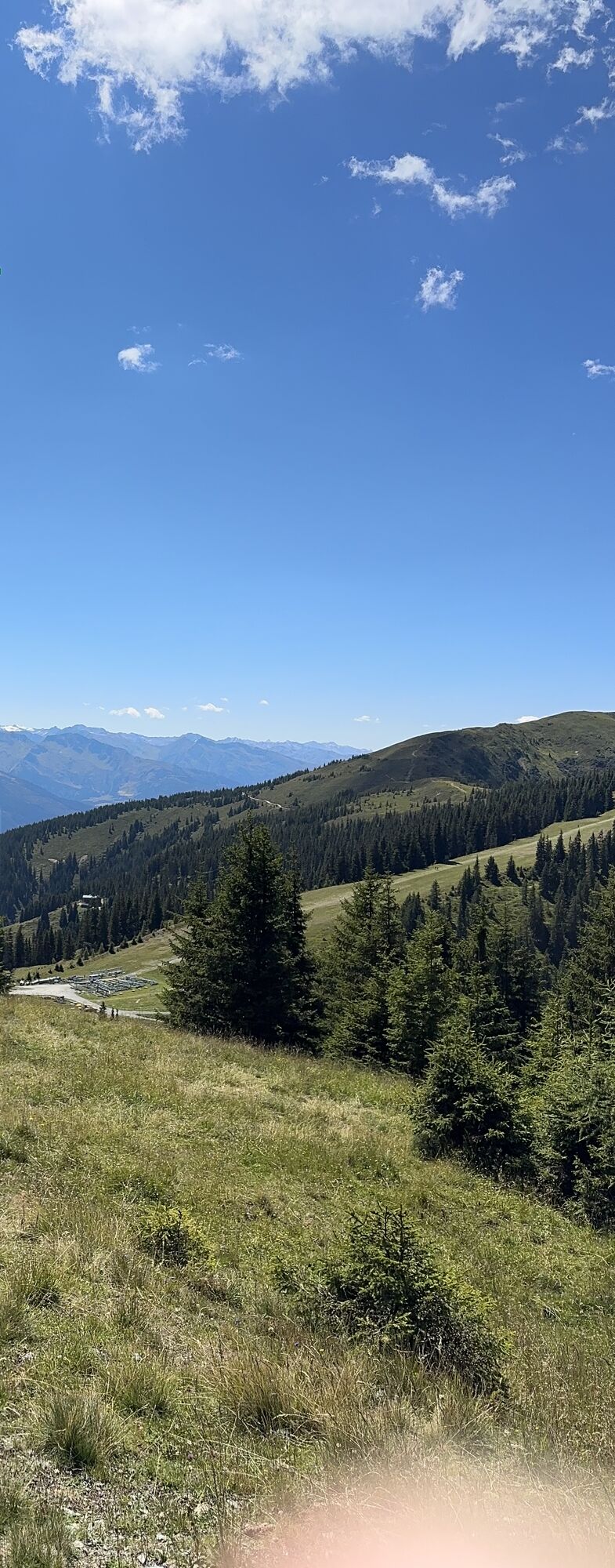
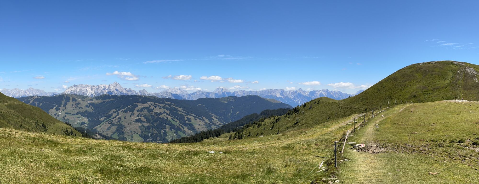
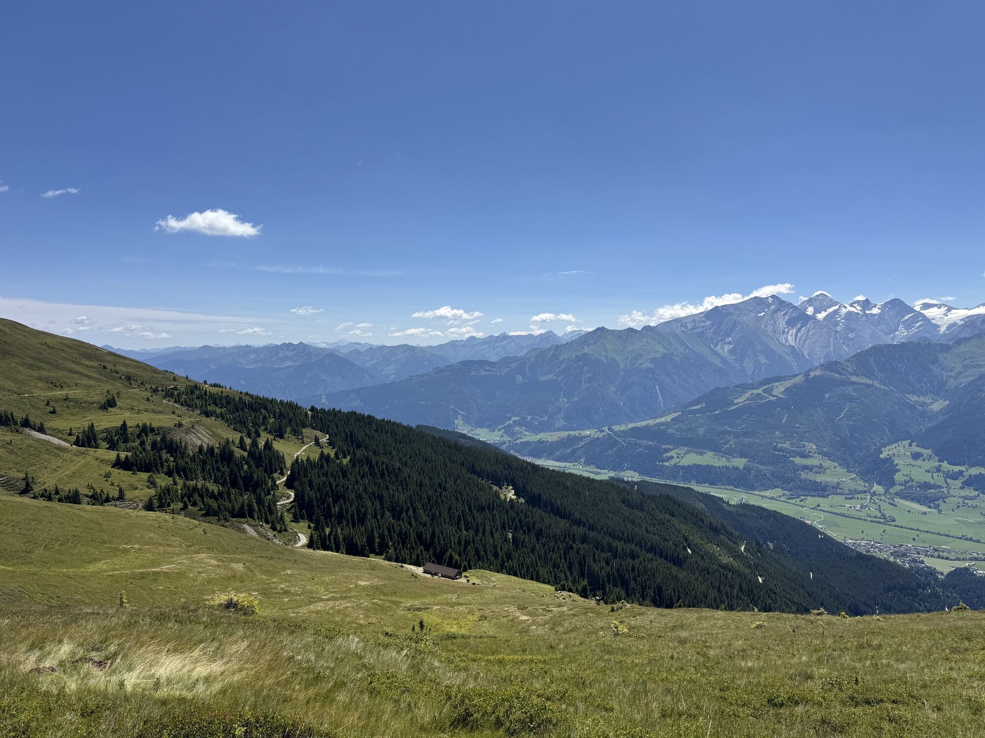
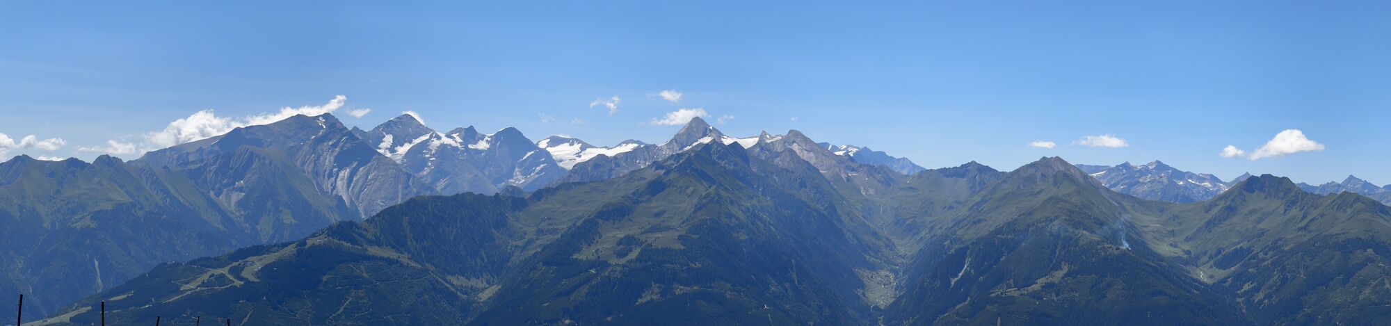
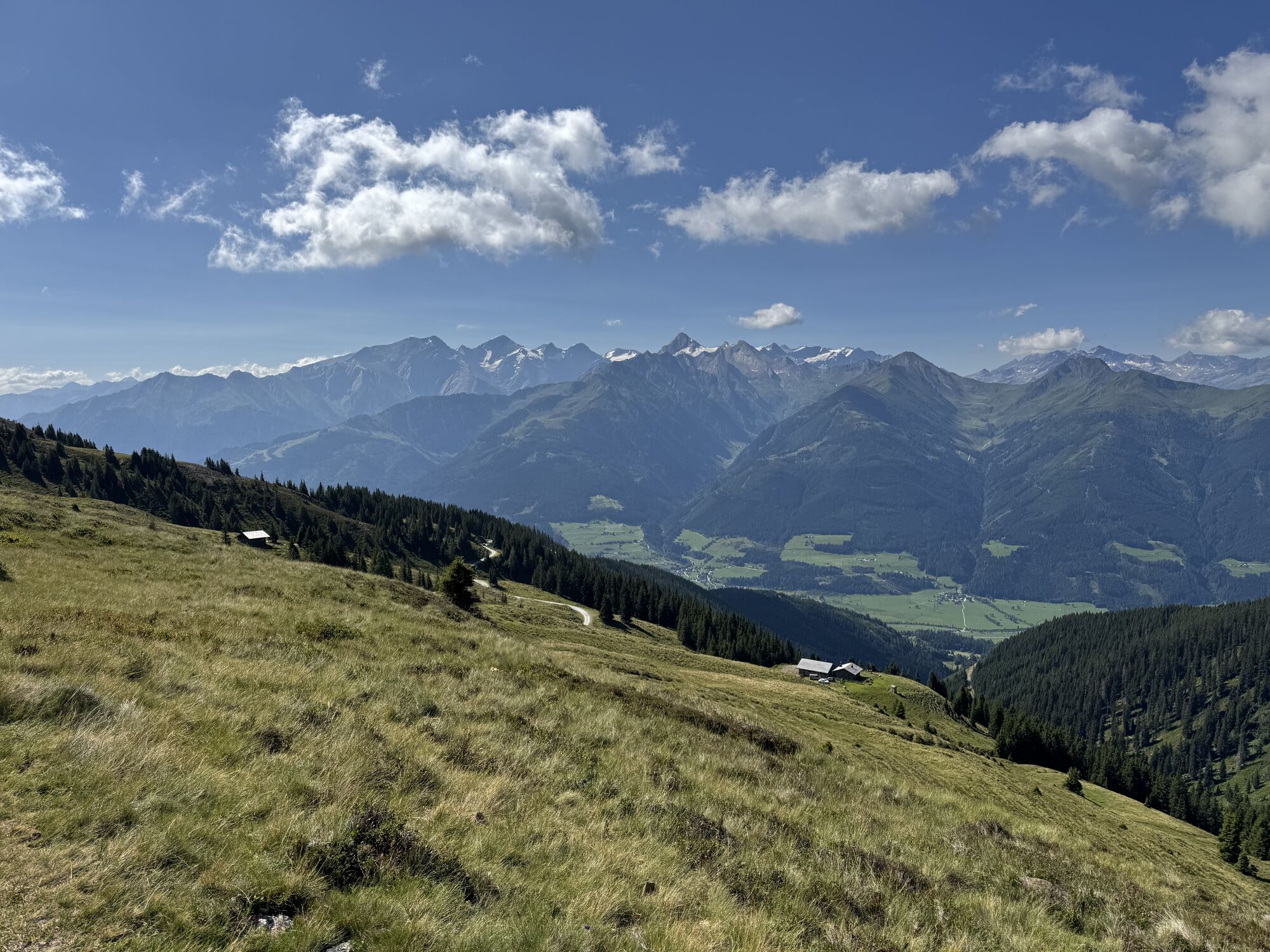
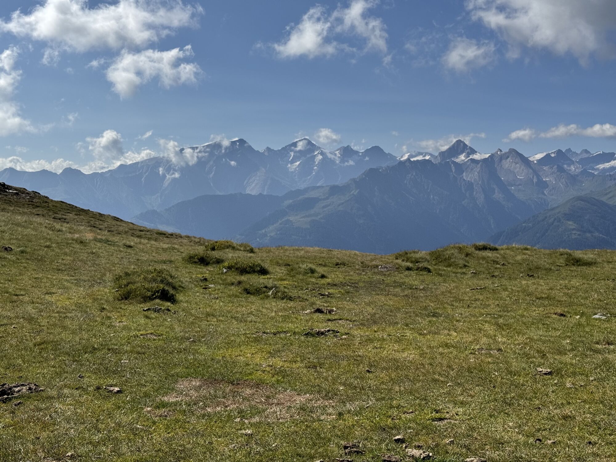
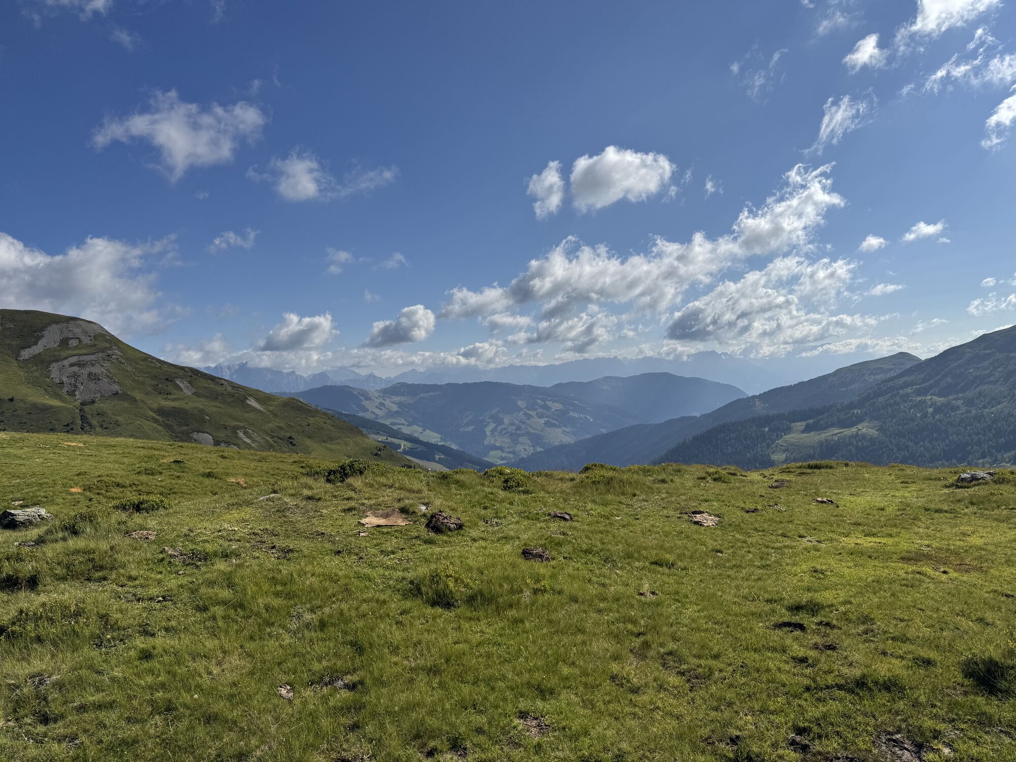
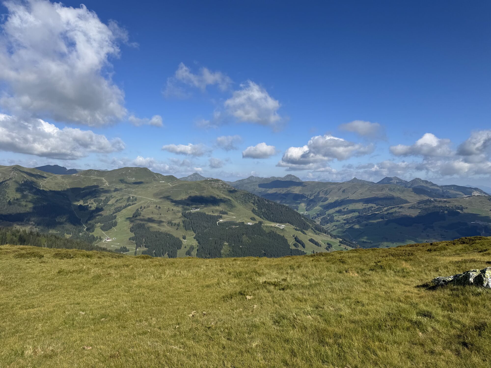
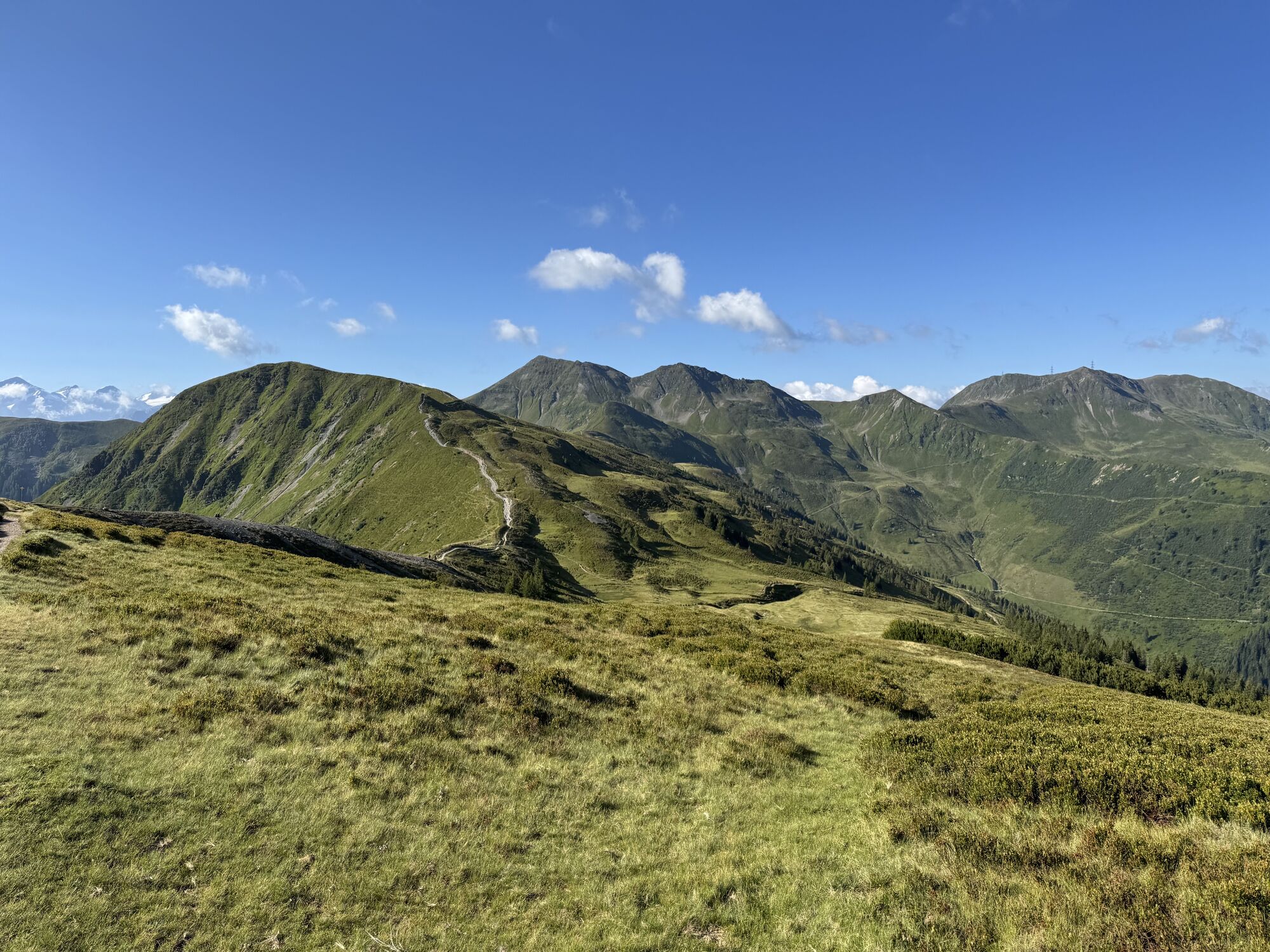
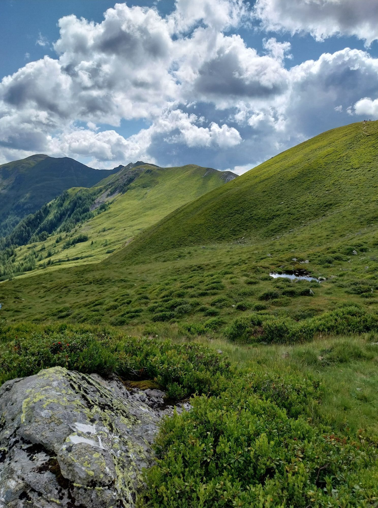
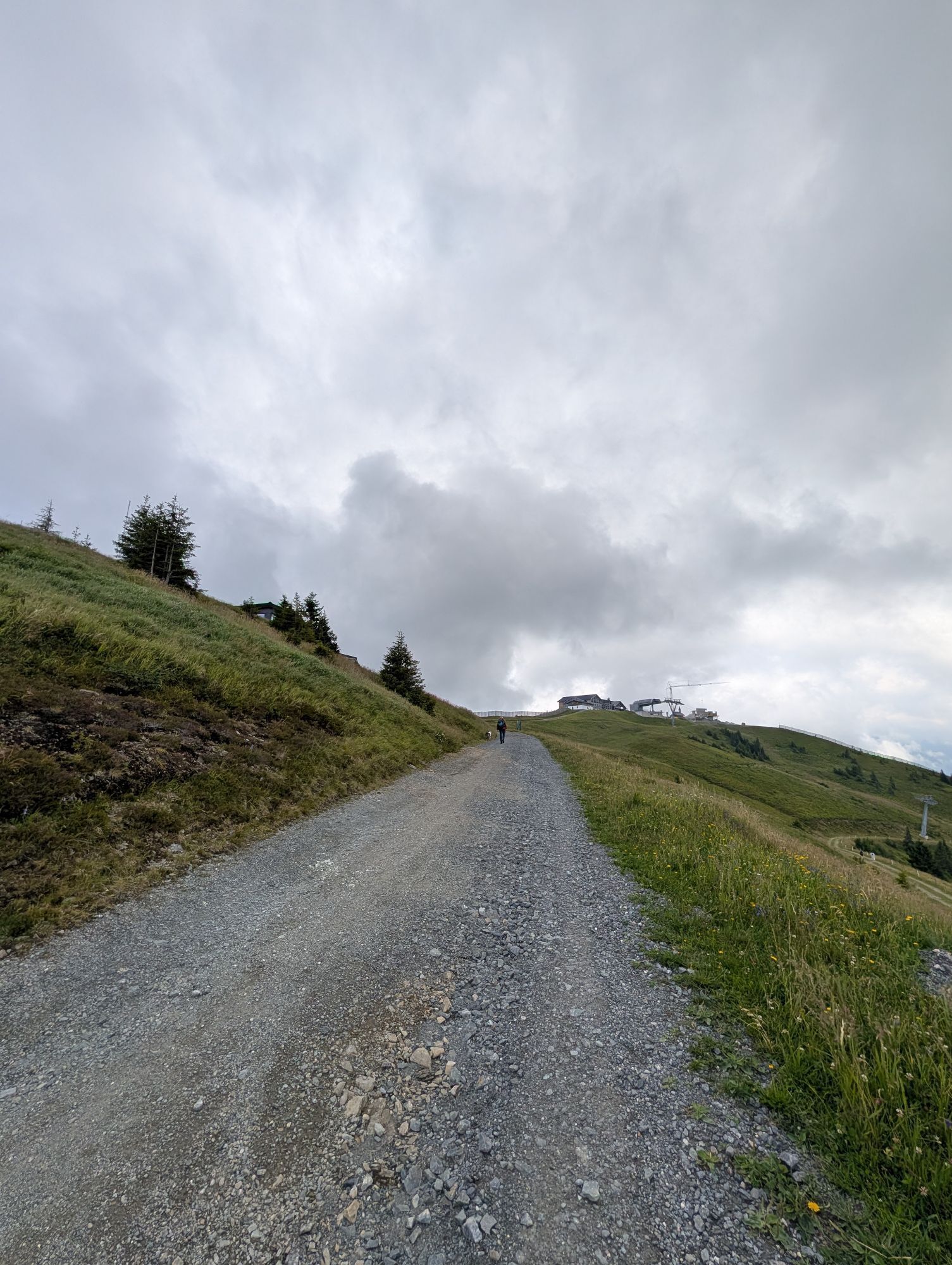
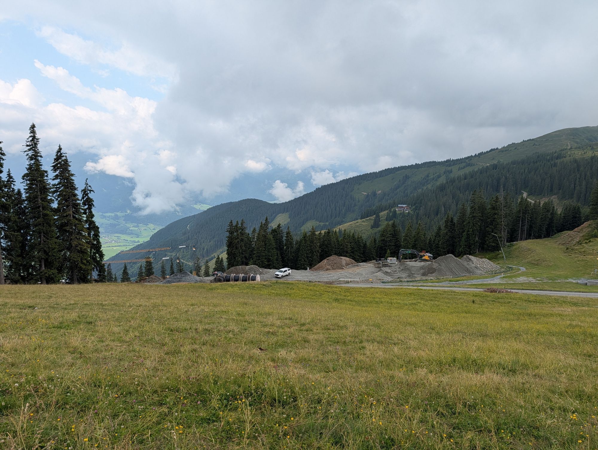
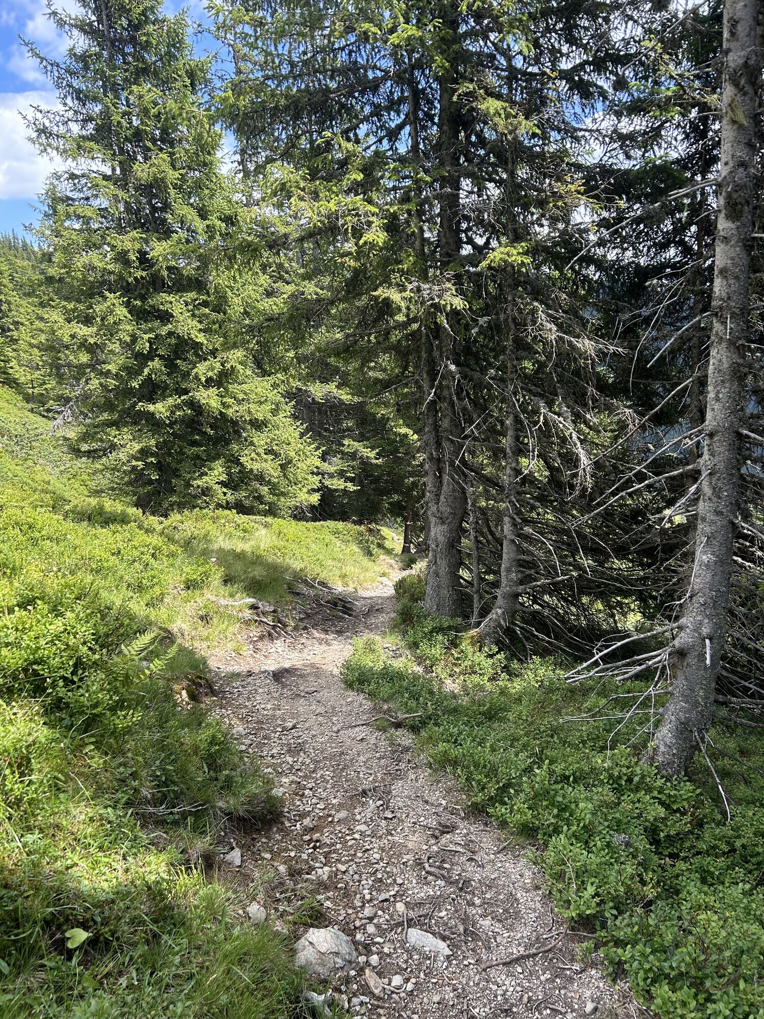
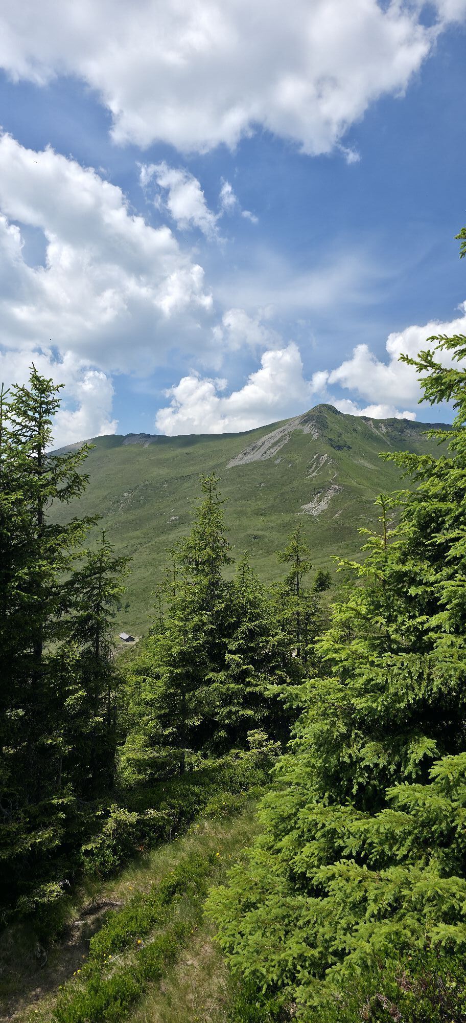
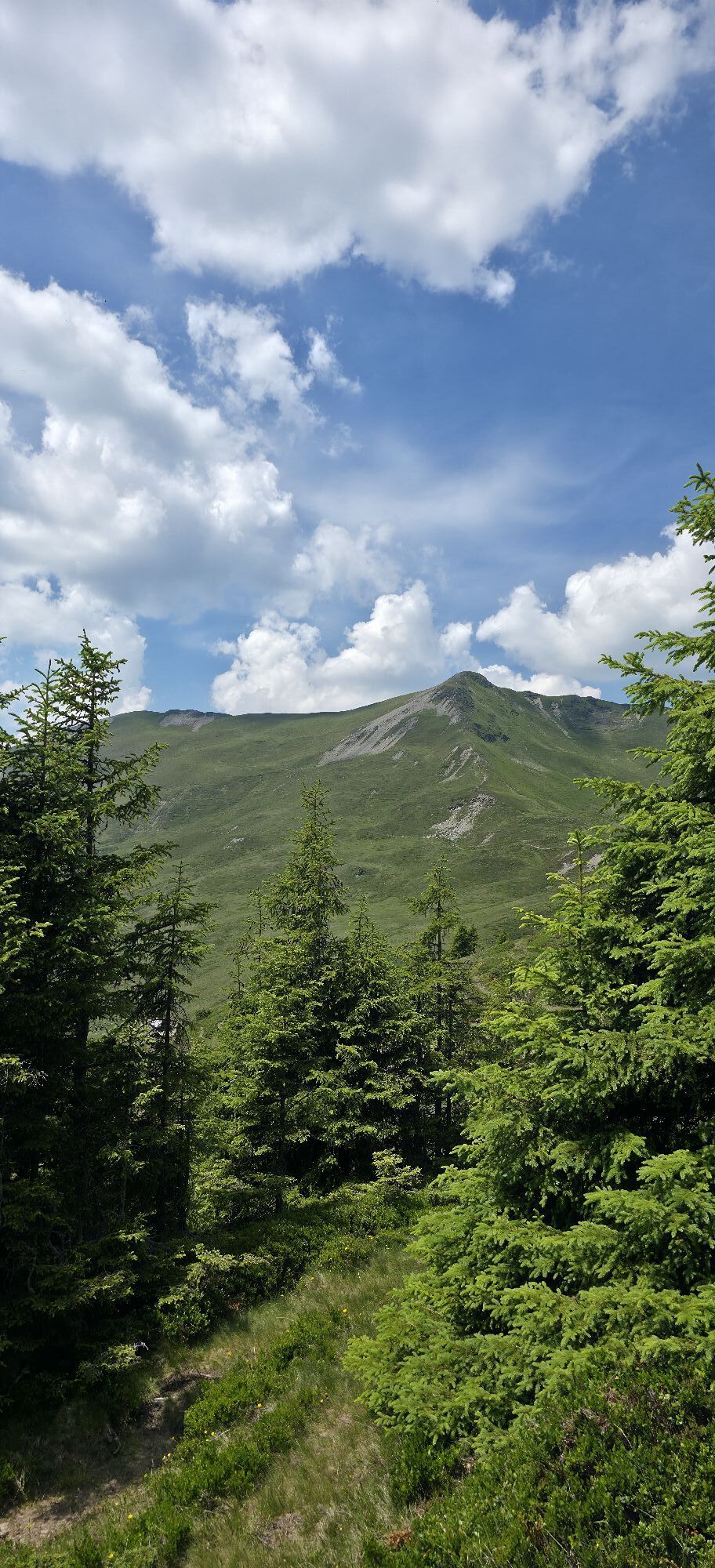
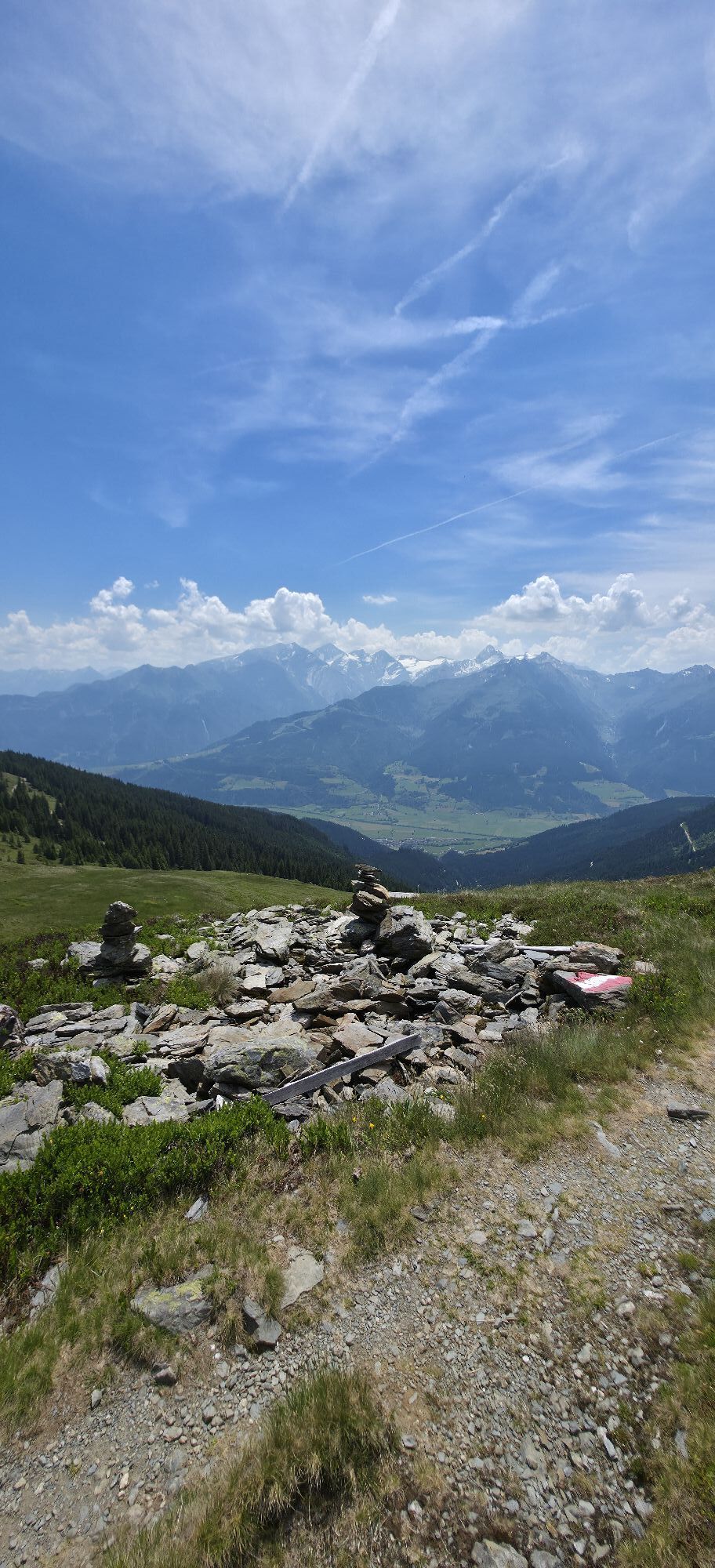
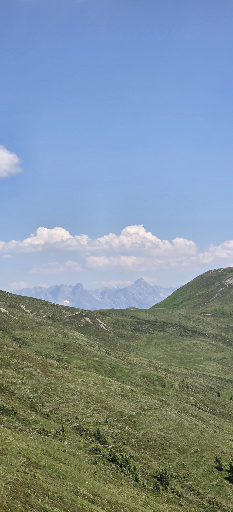
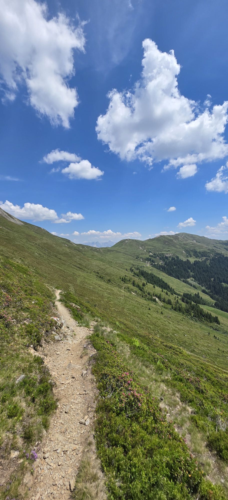
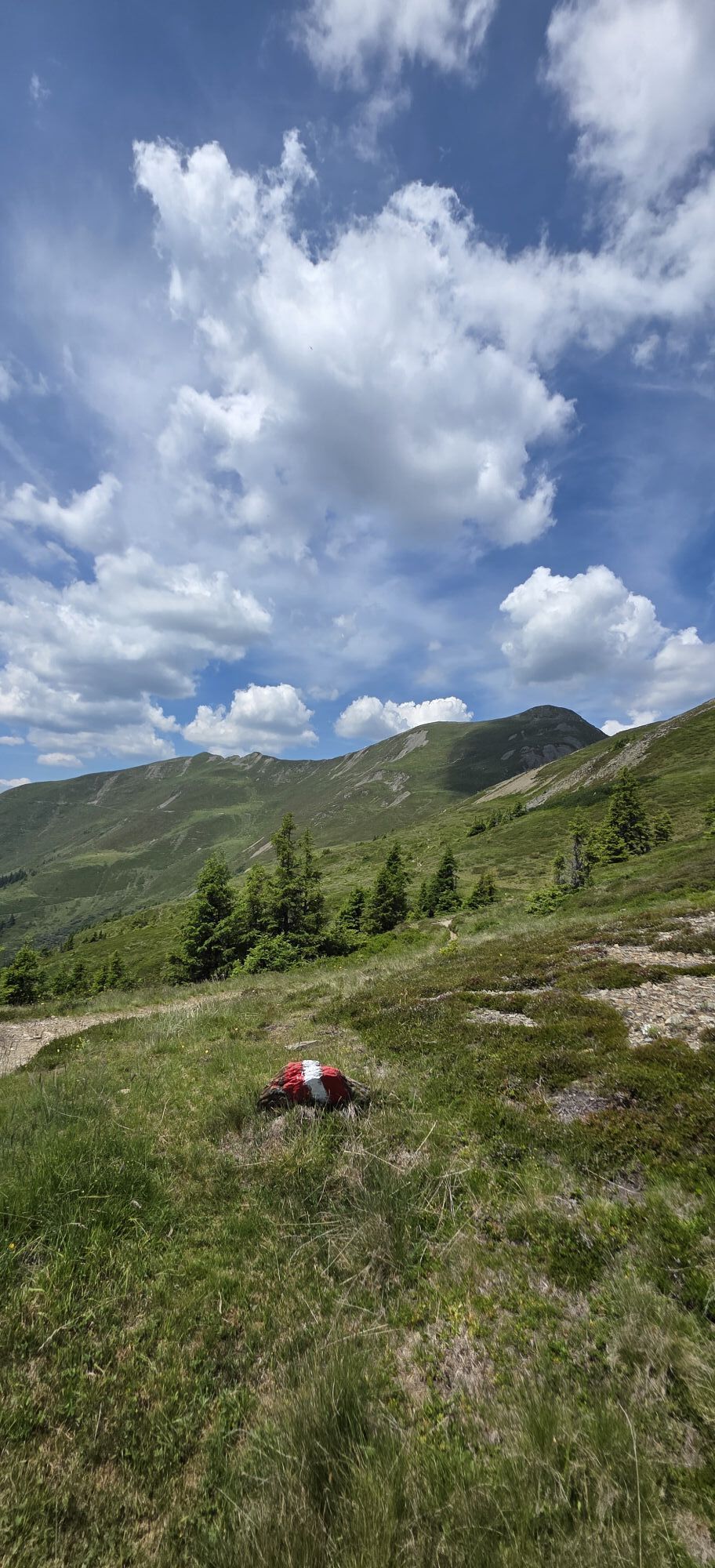
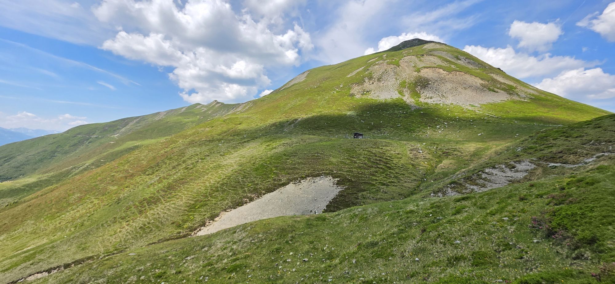
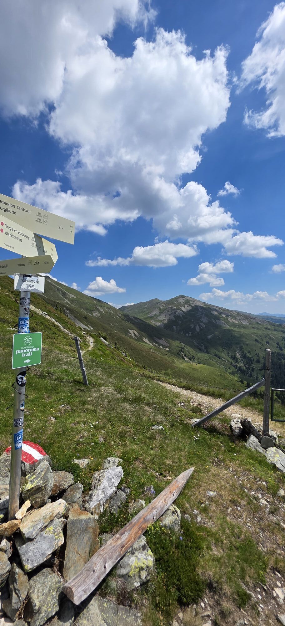
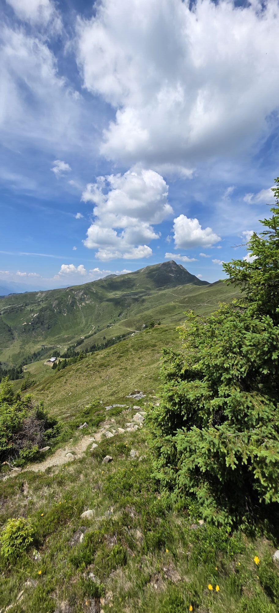
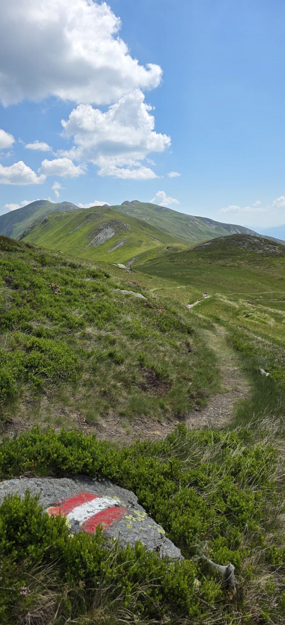
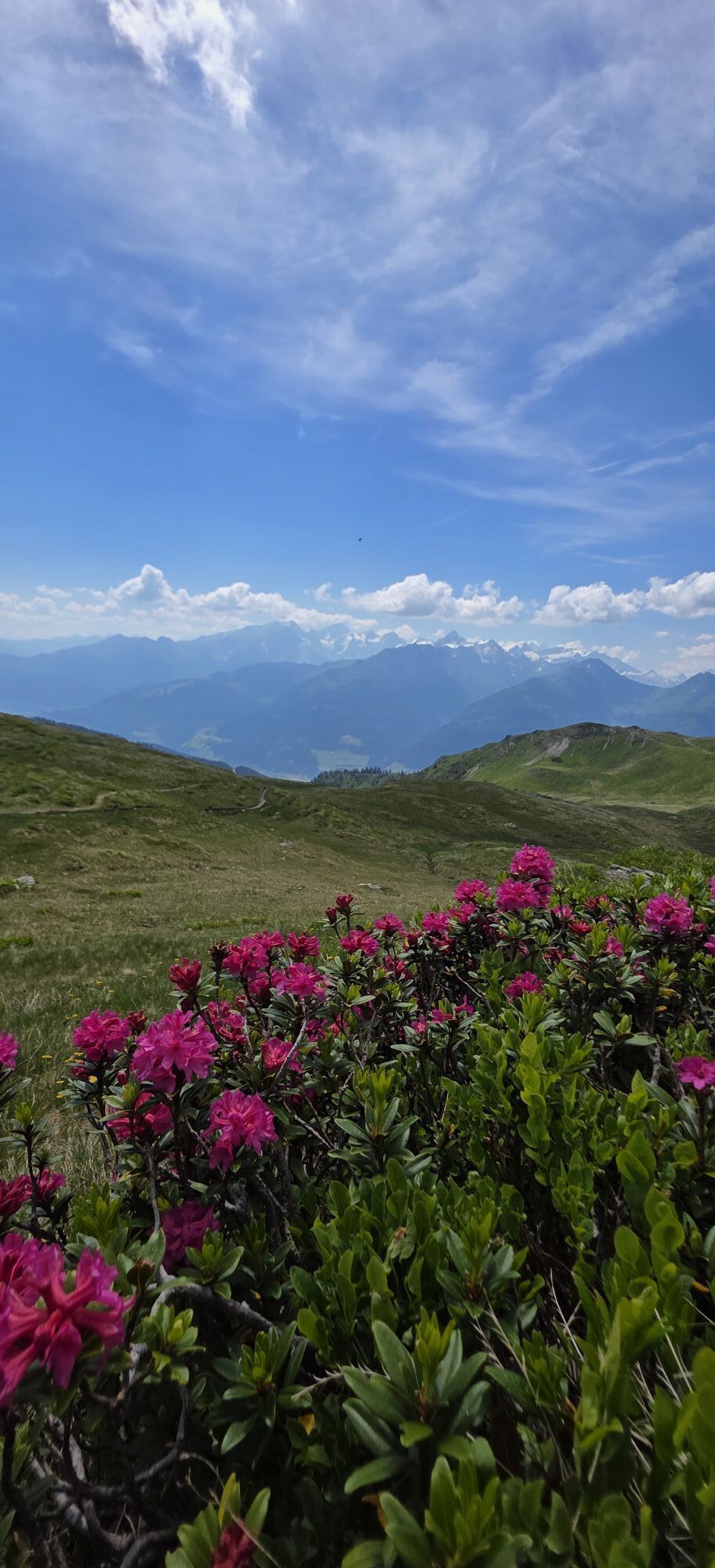
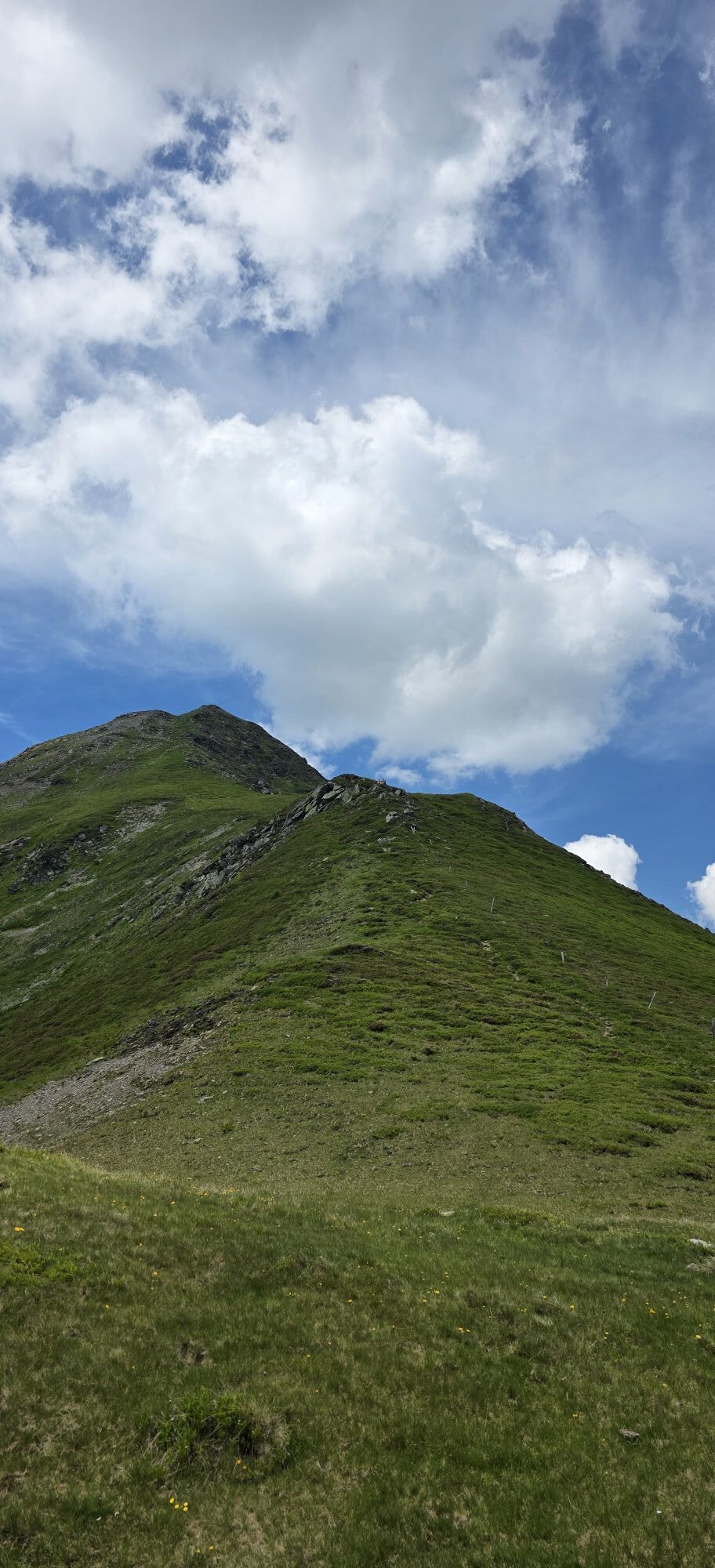
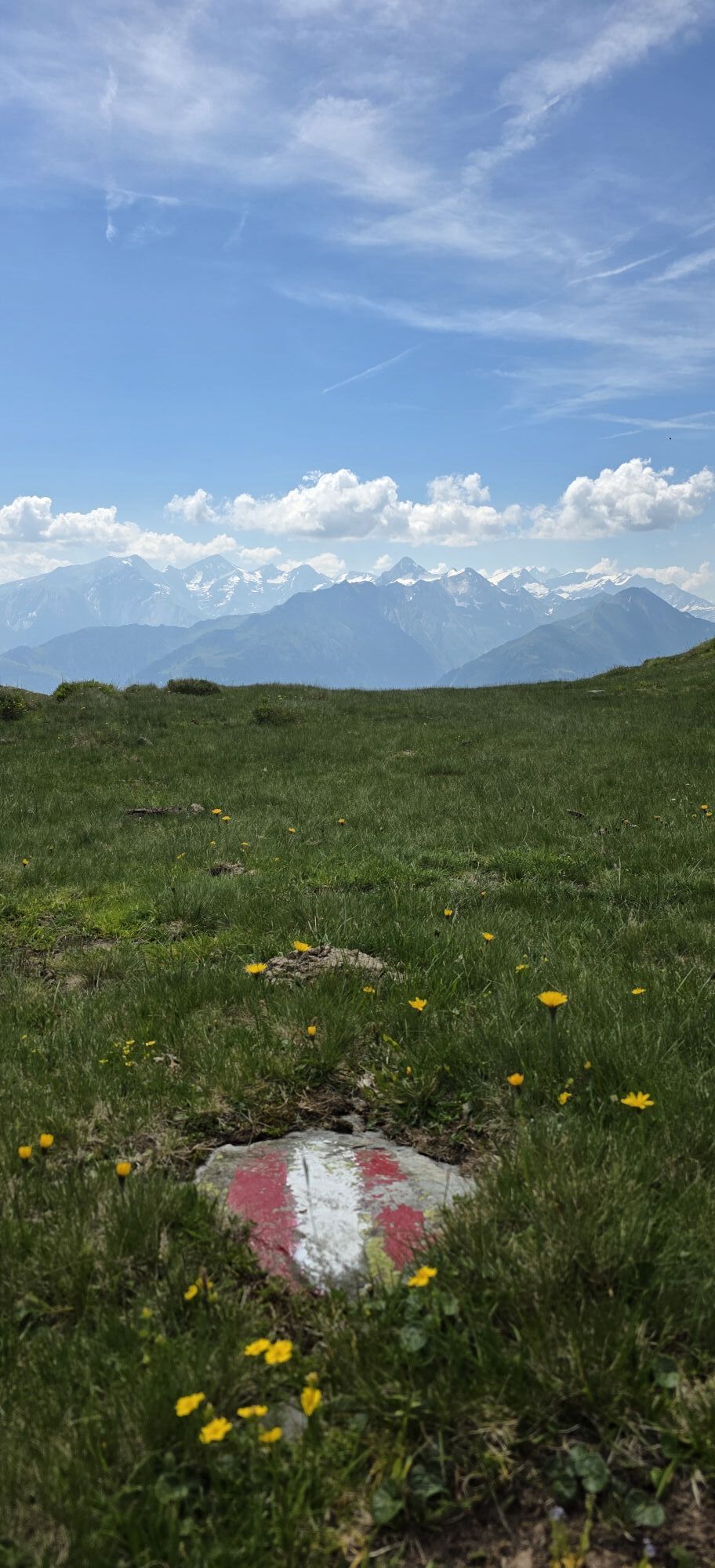
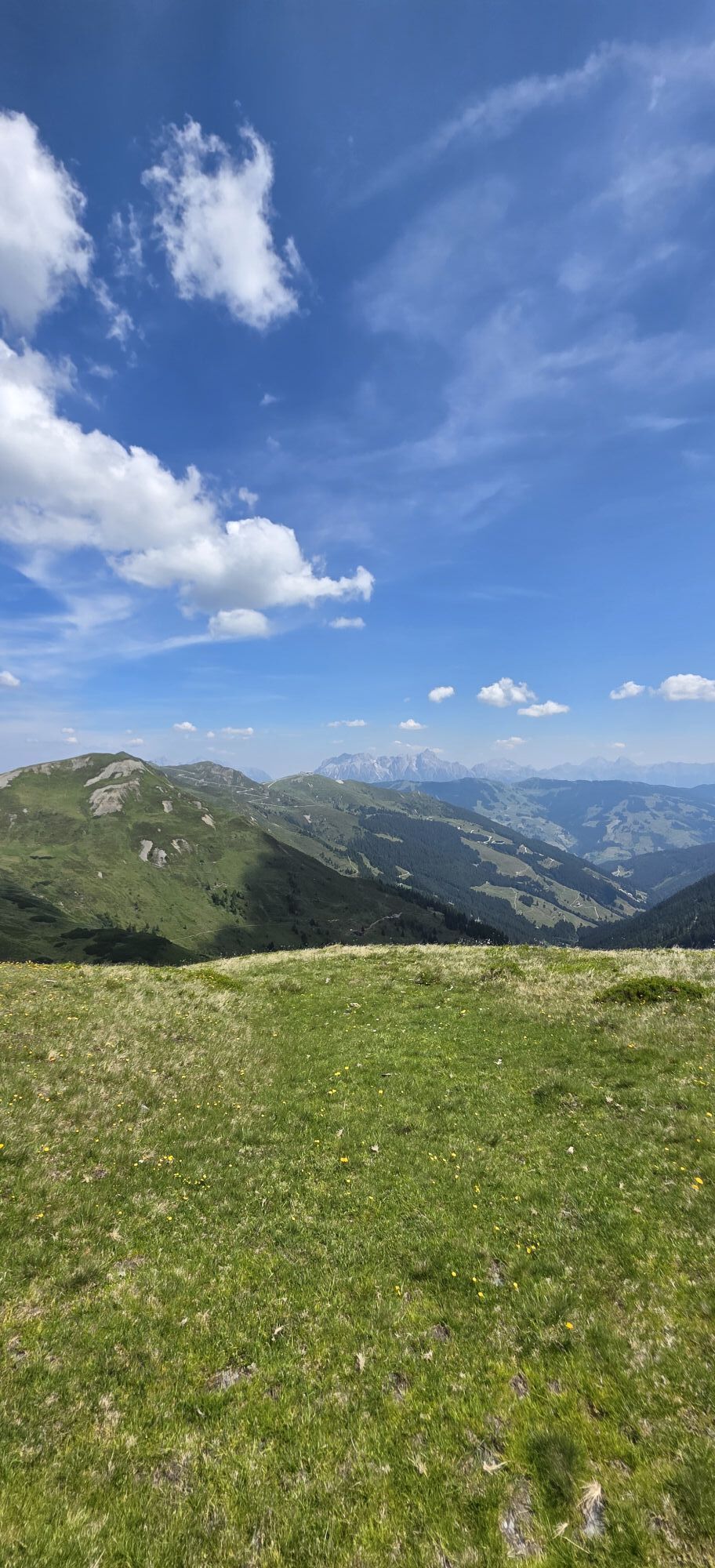
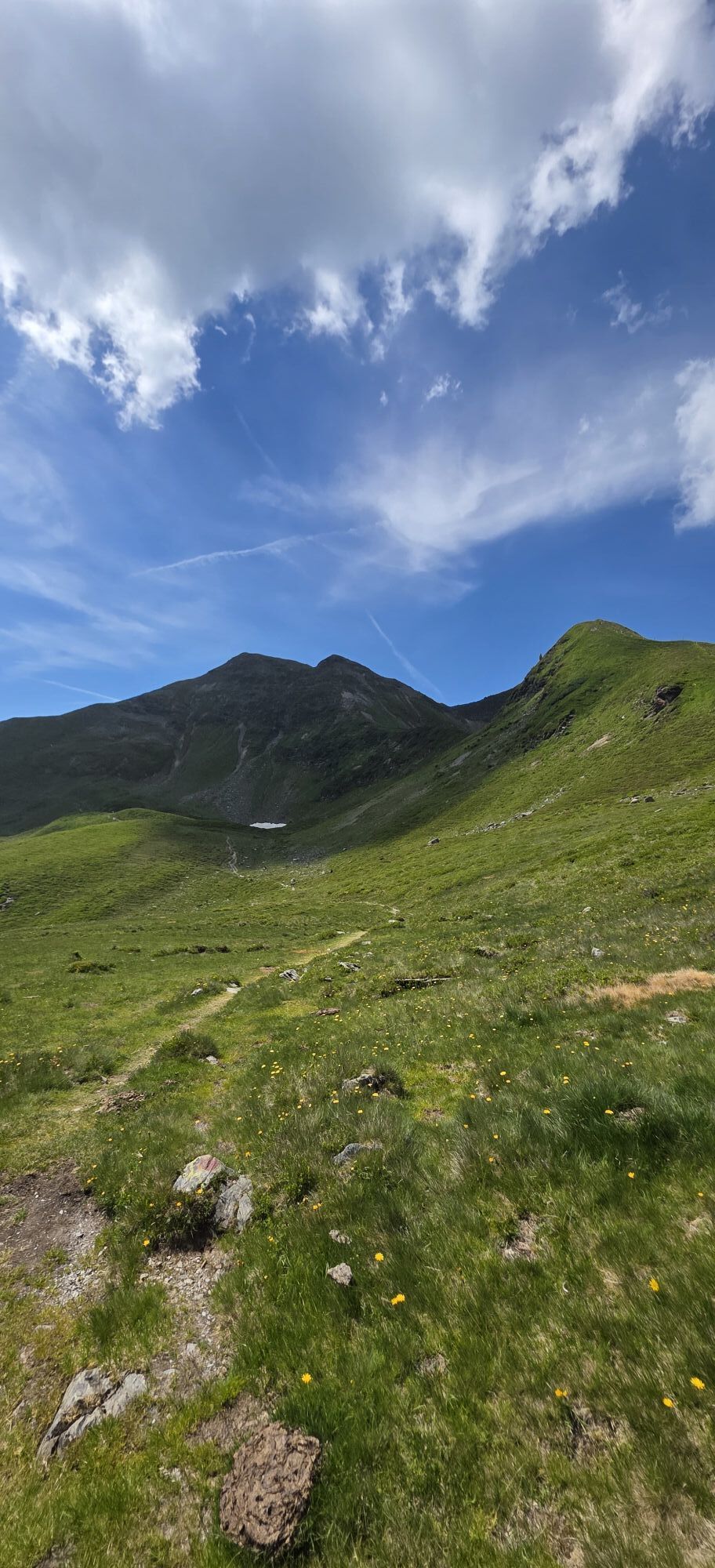
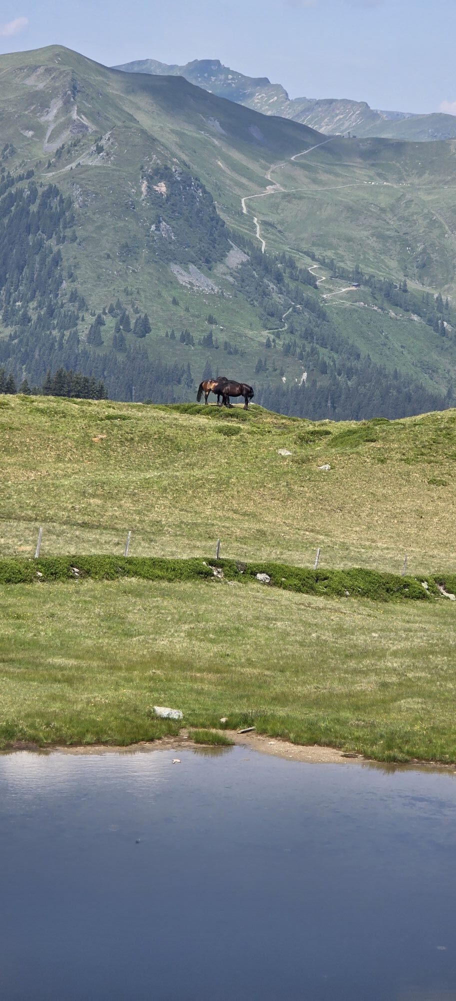
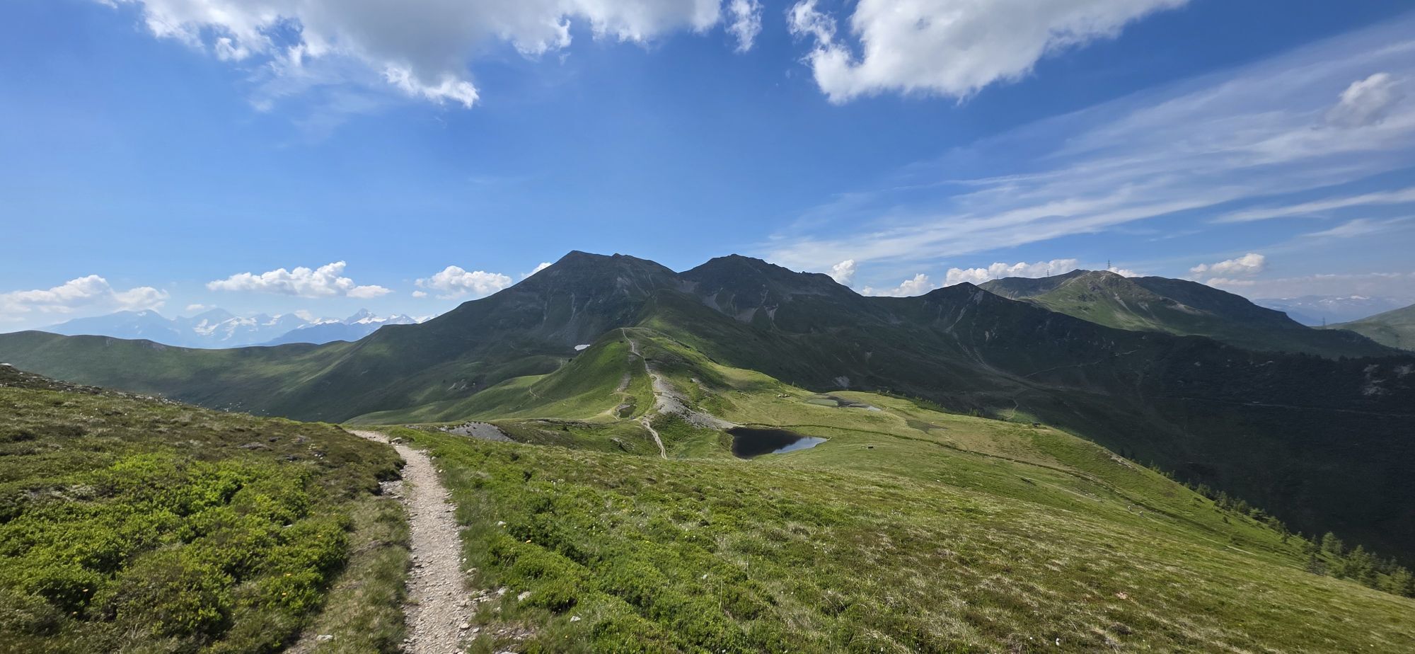
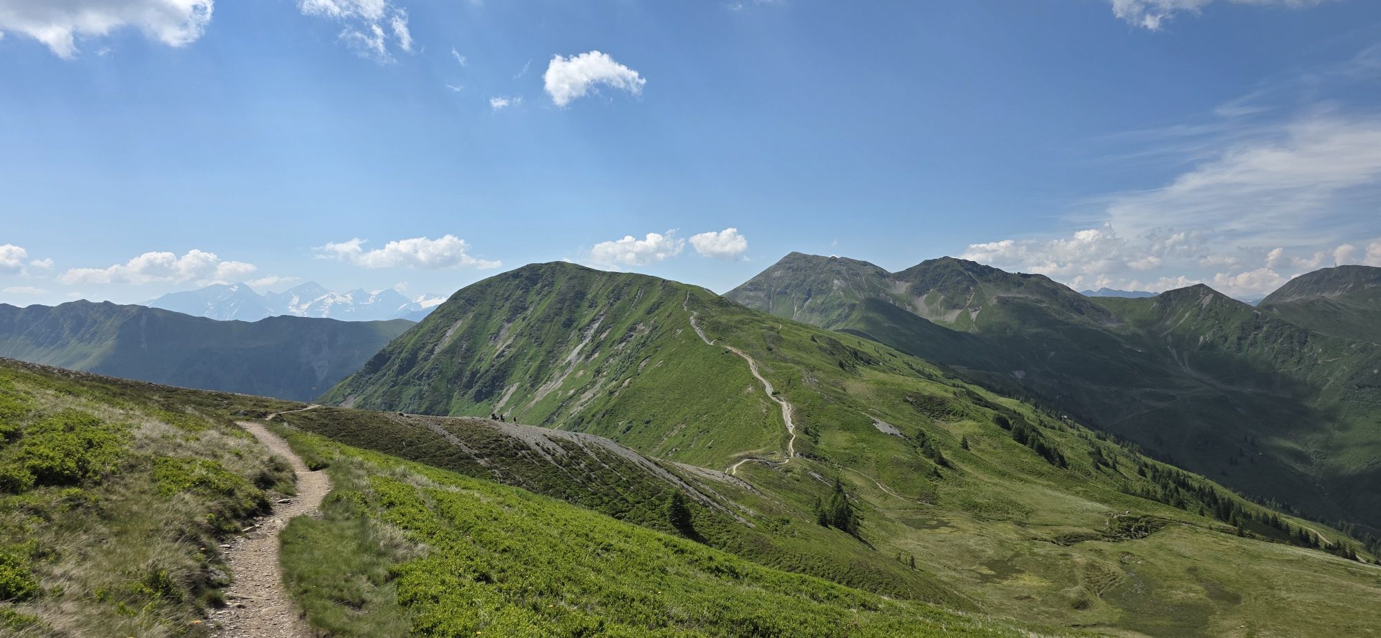
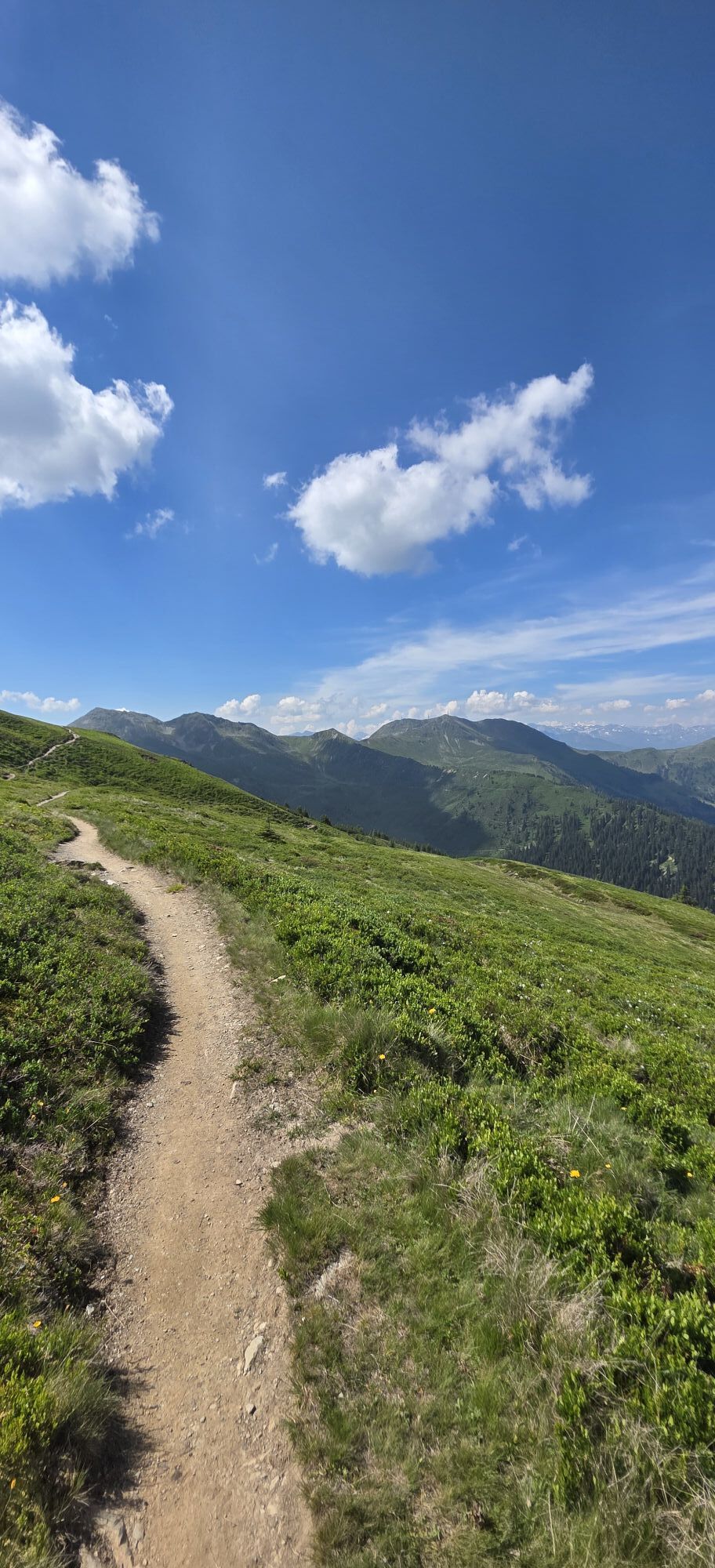
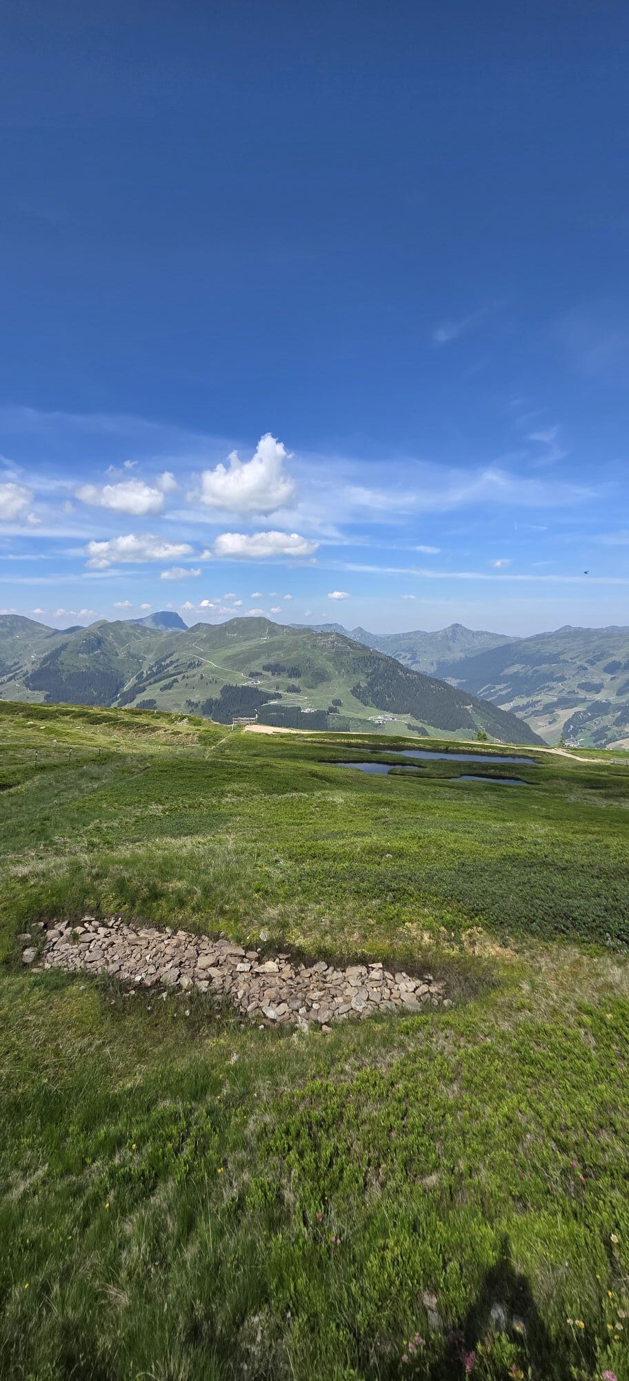
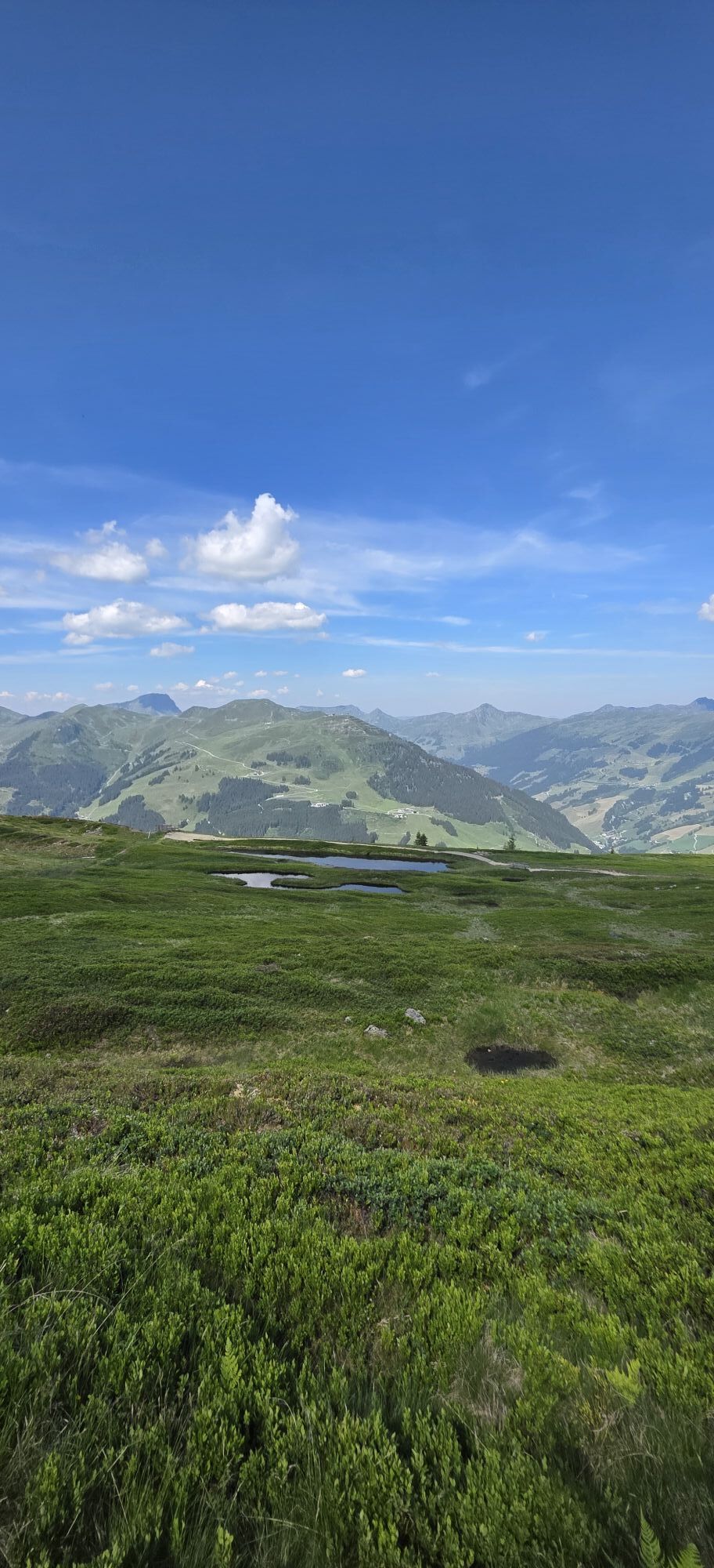
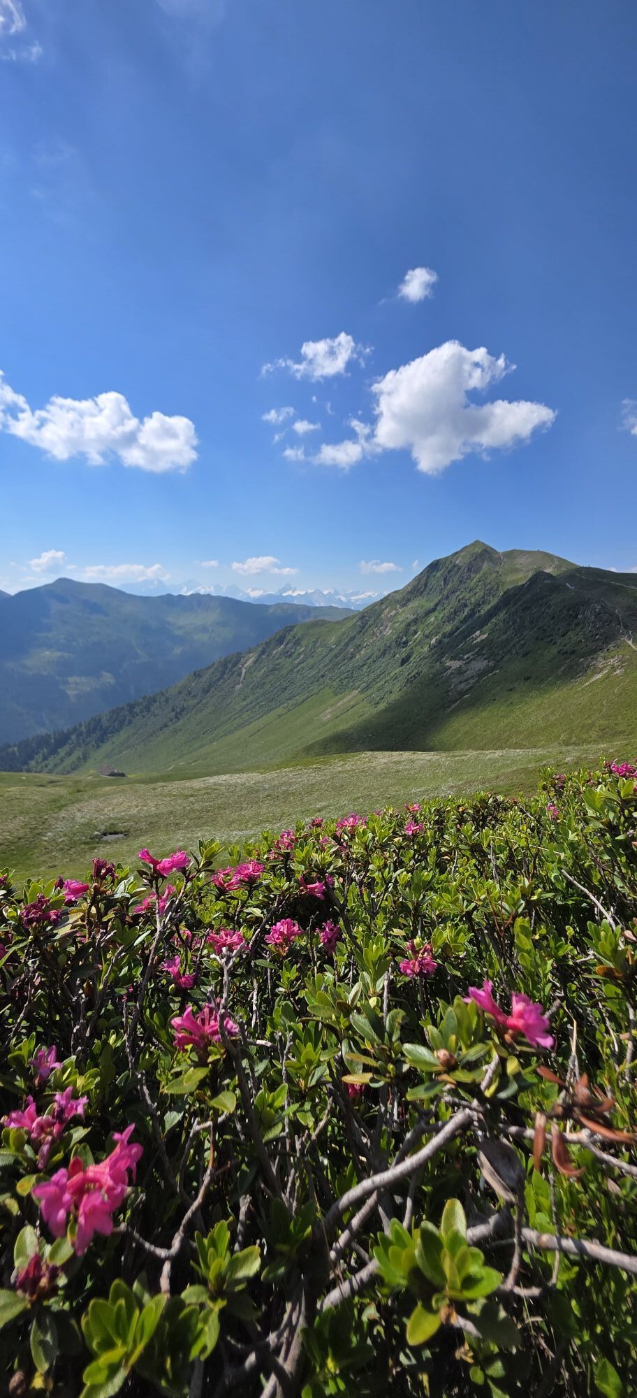
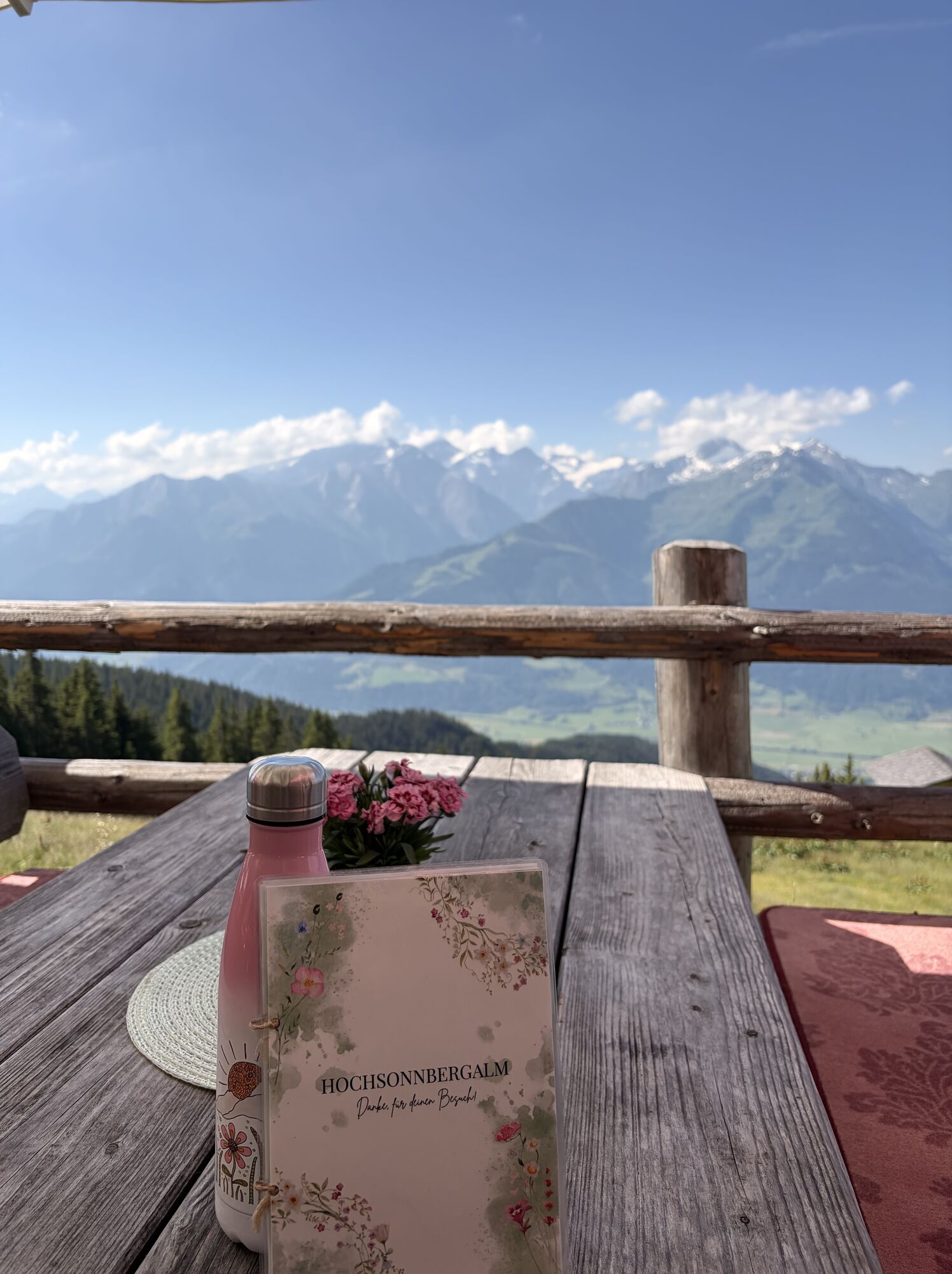
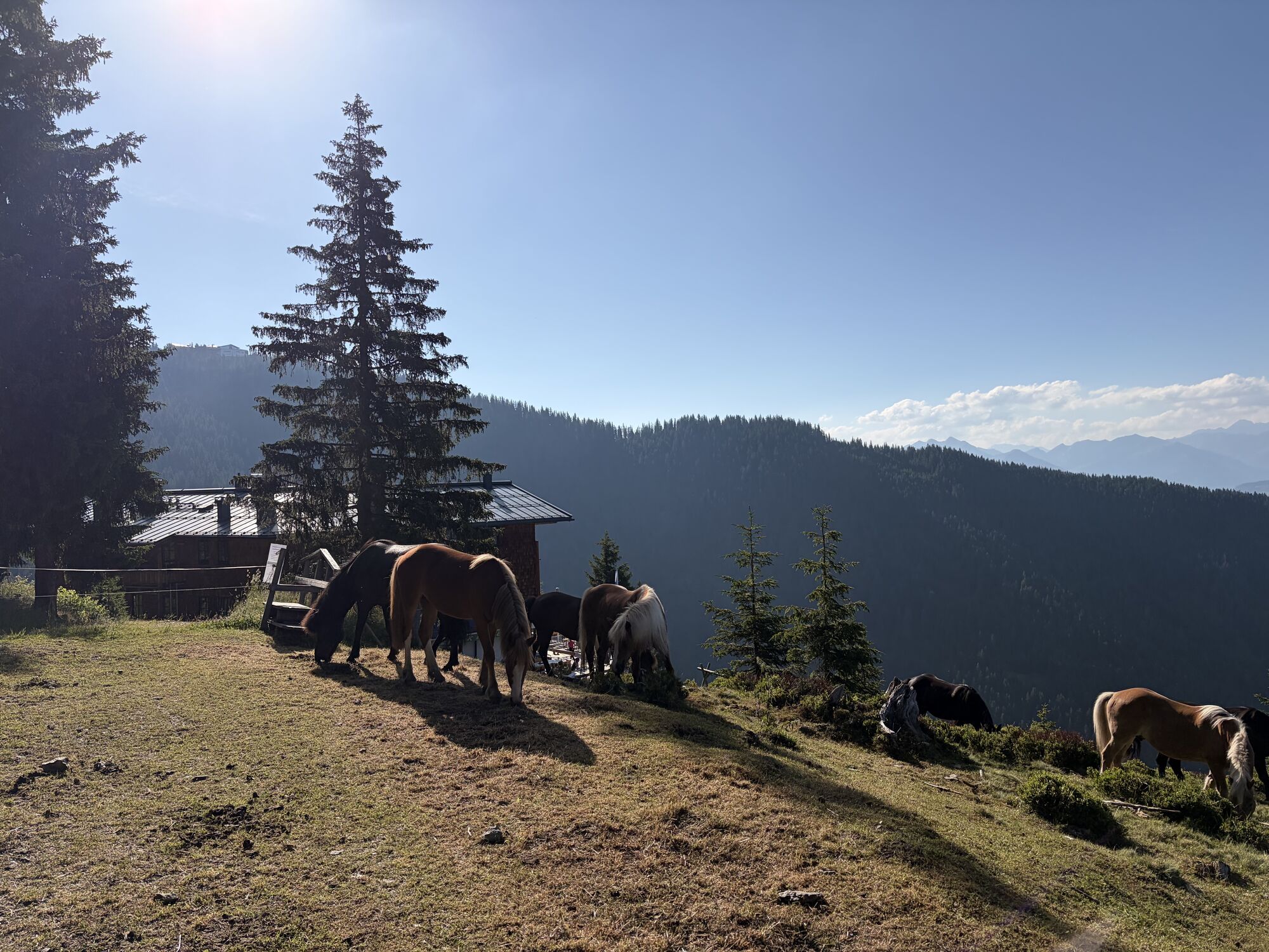
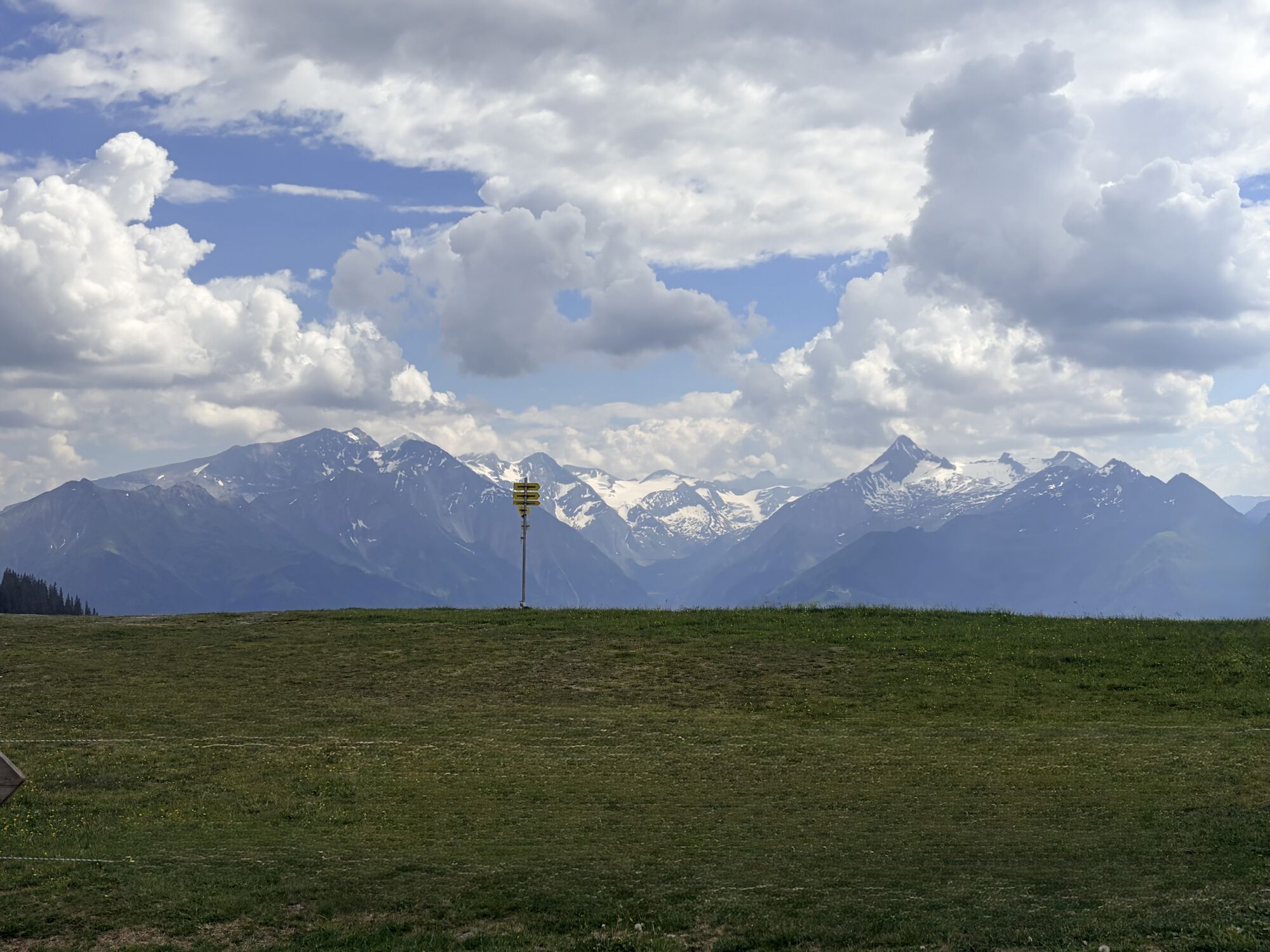
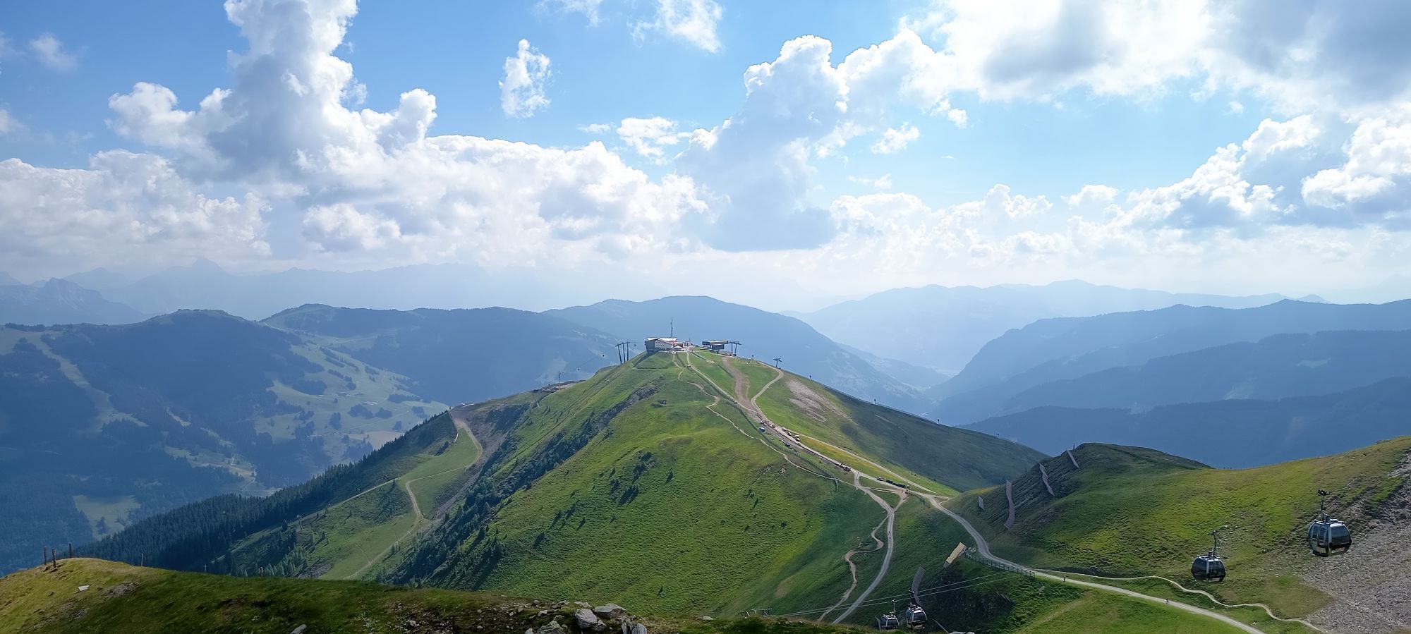
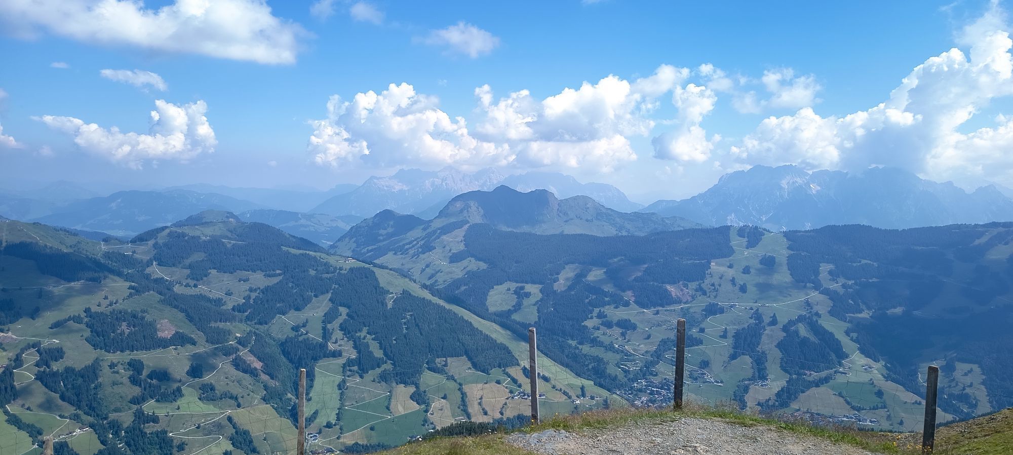
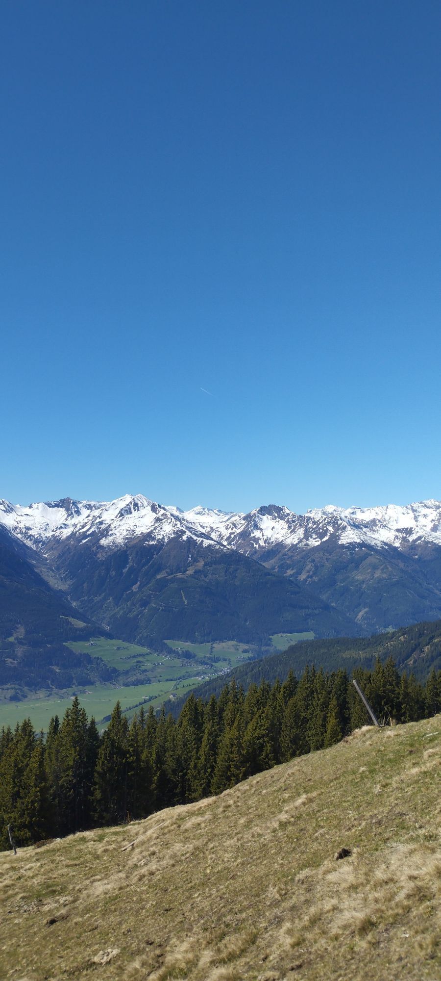
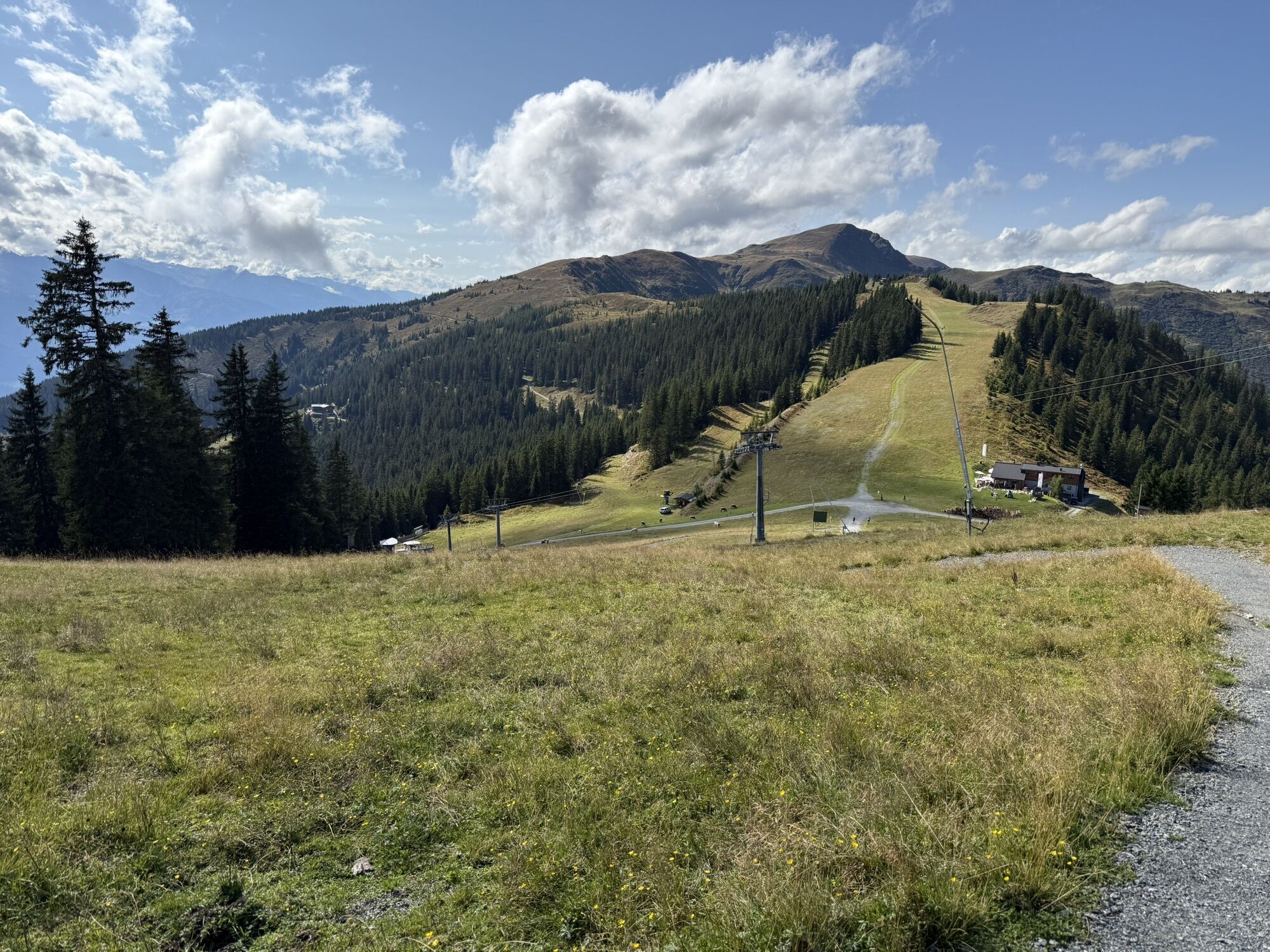
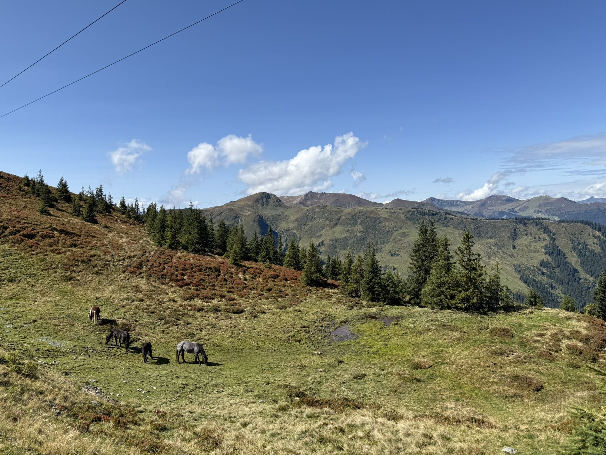
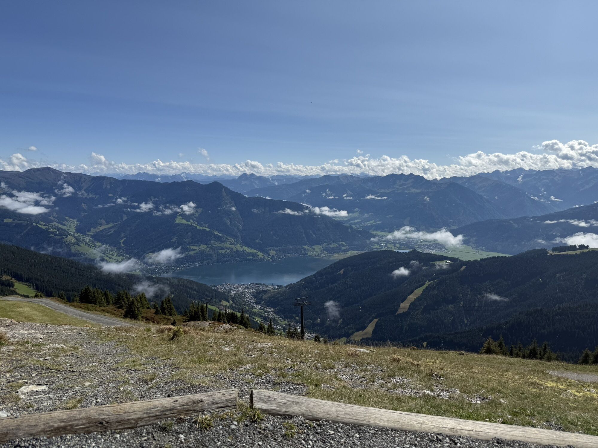
The Pinzgau walk via Viehhofen is a scenic high-altitude hike that combines leisurely hiking pleasure with impressive panoramic views. The tour can be done classically on foot or comfortably with lift...
Depending on the variant, you reach the altitude above Viehhofen either from the valley or with the support of the cable car. From there, follow the well-developed high-altitude trail, which leads almost level through alpine pasture and meadow landscapes. You will be accompanied by magnificent views of the Glemmtal, the High Tauern, and the Zeller Basin.
The Pinzgau walk stands for relaxed hiking without major technical demands – perfect for those who want to enjoy the alpine landscape without taking long or steep climbs. Places to stop along or near the route invite you to take pleasant breaks.
At the western summit with the gondola to the valley and by bus from Hinterglemm (line 680) back to Viehhofen
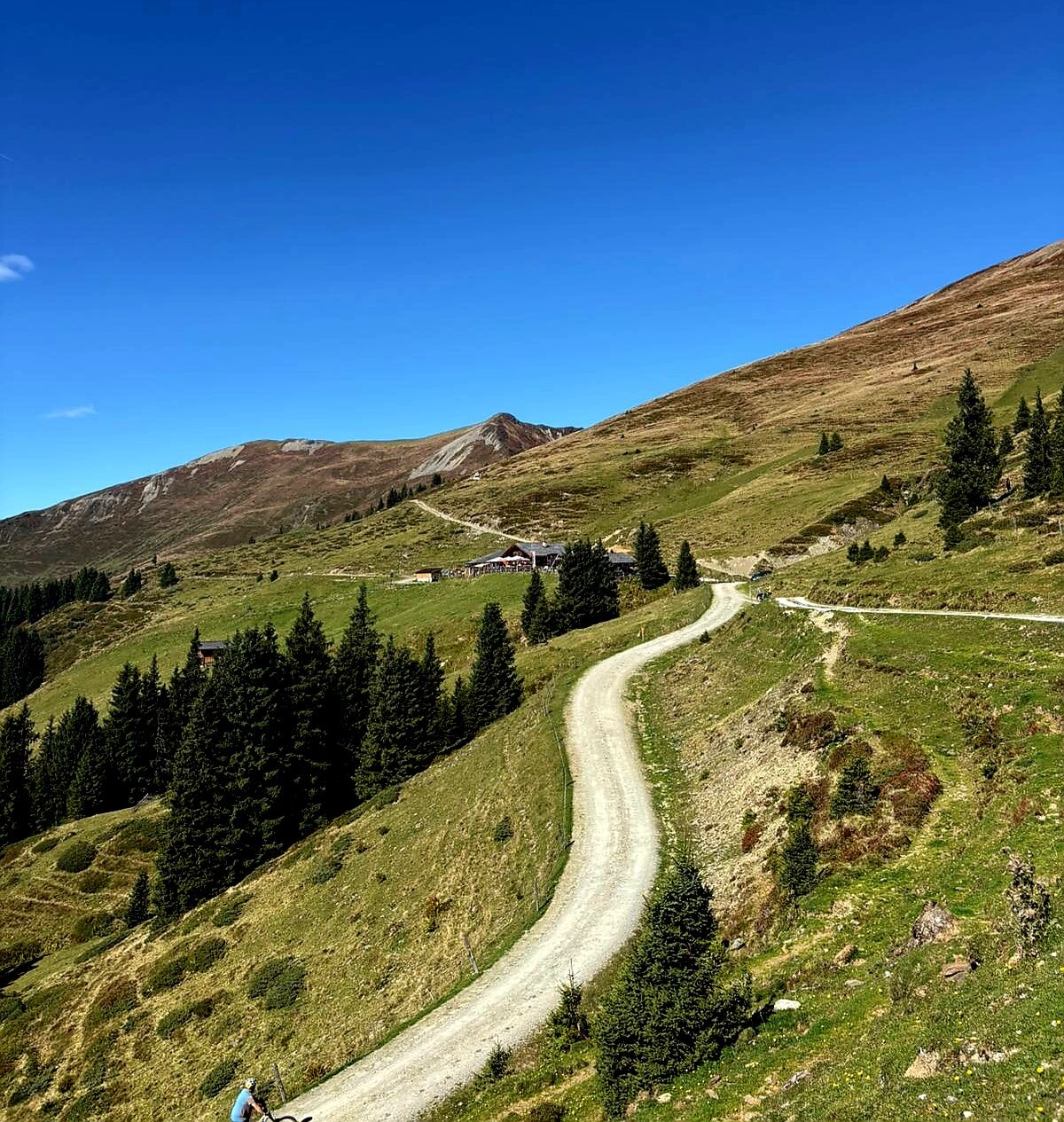

From there the hike initially leads towards Schmittenhöhe. From Schmittenhöhe you follow the route of the Pinzgau walk, which continues as a scenic high-altitude path. The route mostly passes through alpine terrain and offers wide views of the surrounding mountain world.
Tak
Please bring appropriate clothing and enough drinking water. A wind and rain jacket is recommended.
Self-assessment: Before any mountain tour, one should realistically assess their own physical fitness – as well as that of companions, especially children. Surefootedness and a head for heights are often required.
Alpine pasture and grazing areas – behavior around cows: In alpine pastures, attention should be paid to grazing animals.
Keep your distance
Stay calm
Keep dogs on a leash
Do not touch or feed calves
Take warning signals seriously
Planning and preparation: Careful tour planning is recommended. Hiking maps, guides and information from alpine clubs, mountain guides or hut hosts can be helpful.
Equipment: Suitable equipment and clothing are necessary, especially sturdy, ankle-high footwear with a grippy sole. Weather and cold protection should always be carried, as the weather can change quickly.
Weather forecasts: Current weather information can be found at www.zamg.at or www.uwz.at.
Together & Nature: The well-known rules for dealing with grazing animals should be observed. Waste must be taken back and nature left clean.
Turning back: It is sensible to turn back in time if weather conditions worsen, fog sets in, or the path becomes more difficult than expected.
Emergency numbers:
Alpine emergency: 140
International emergency: 112
â¡ï¸ More information: https://www.viehhofen.at/en/summer/hiking/safe_in_the_mountains
Yes, by bus line 680
zellamseeXpress
T1
With sufficient stamina, additional peaks such as Maurerkogel, Gernkogel or Zirmkogel can be climbed along the route.
Kamery internetowe z trasy
-
Schmittenhöhe
-
Schattberg - West
-
Asitz Gipfel
-
Schattberg Westgipfel
-
Hinterglemm Dorf
-
Kohlmais Tal
-
Sonnkogel
-
Schmittenhöhe
-
Zell am See / Hotel Berner
-
Schmittenhöhe
-
Schmittenhöhe
-
Hinterglemm - Saalbach
-
Großer Asitz / Gipfelkreuz
-
Saalbach-Hinterglemm - Schattberg Ost
-
Saalbach-Hinterglemm - Zwölferkogel
-
Saalbach - Hotel Alpinresort
-
Zwölferkogel
-
Maishofen Sausteige
-
Leogang - Grosser Asitz
-
zellamseeXpress
-
Martenhof
-
Wohlfühlhotel-Johanneshof
-
Eberharthof - Saalbach-Hinterglemm
Uzyskaj wgląd
Zawsze na żywo z ponad 9 500 kamer internetowych. bergfex Jako użytkownik Pro, możesz teraz zobaczyć odpowiednie kamery internetowe dla wielu wycieczek w aplikacji wycieczki od. Pozwala to na bezpośredni podgląd aktualnych warunków.
Popularne wycieczki w okolicy
-
4,3
Schwalbenwand Nr. 80, 81, 82
średniWędrówka 13,0 km -
4,7
Sigmund Thun Klamm, Klammsee, Bürgkogel
światłoWędrówka 4,56 km -
4,2
Maurerkogel (Top)
Wędrówka 10,5 km -
4,0
Berg der Sinne
światłoWędrówka 4,39 km -
4,9
Hochsonnberg Runde
średniMountainbike 59,8 km -
4,5
Thumersbach, Runde um den Zeller See
światłoWędrówka 13,3 km -
4,4
Sigmund Thun Klamm
światłoWędrówka 3,10 km -
4,2
Hundstein-Runde von Maria Alm
ciężkiMountainbike 44,4 km -
4,3
Saalachtaler Höhenweg EAST (Asitz - Biberg)
średniWędrówka 13,1 km -
4,6
Panorama route 3 peaks and 2 lakes
średniWędrówka 7,21 km
Wędrówki i tropienie


Nie przegap ofert i inspiracji na następne wakacje
Twój adres e-mail została dodana do listy mailingowej.





