






From Gries im Pinzgau to Bruck on the Glocknerstraße
Poziom trudności: T1
The parish church in St. Georgen is located a few minutes off the path, but the detour on the distinctive church hill is worth it. Inside the gothic church, the wall frescoes and the uniquely Salzburg...
The parish church in St. Georgen is located a few minutes off the path, but the detour on the distinctive church hill is worth it. Inside the gothic church, the wall frescoes and the uniquely Salzburg high altar, made entirely of red Adneter marble, are fascinating. A little below the church, the mighty lime tree recalls the sad chapter of the Protestant expulsion. When the church innkeeper had to leave St. Georgen in 1732, he planted this tree, which now, with a trunk circumference of over seven meters, is a natural monument under special protection. Half an hour later, in Hundsdorf, the Franciscans founded a monastery in 1736 to strengthen the faith, which today is the much-noticed Caritas support center St. Anton. The path is not only interesting for history enthusiasts; the hail witch also travels this path and tells of her adventures. The construction of the Großglockner high alpine road, which opened in 1935, was also an adventure. The road kilometer stone “0” in front of the eponymous bridge in Bruck marks the end of the hike.

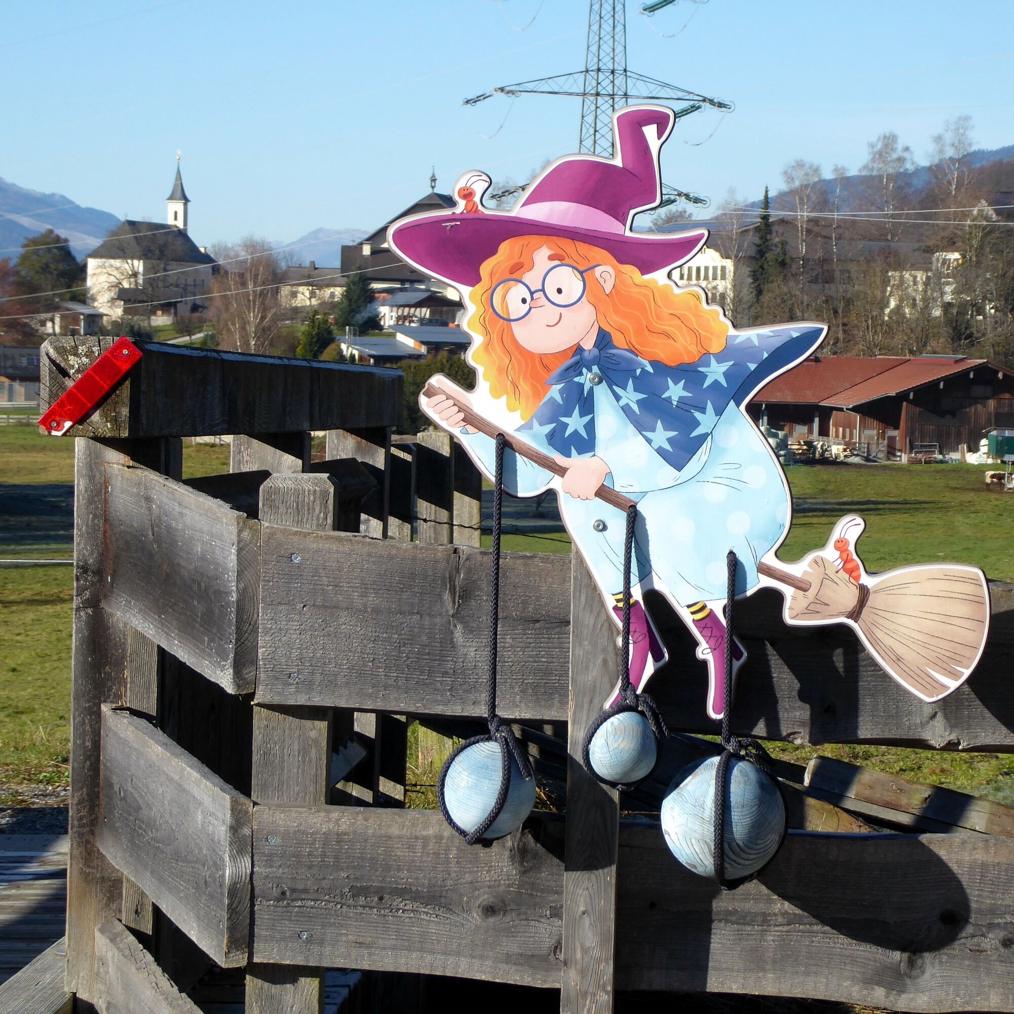
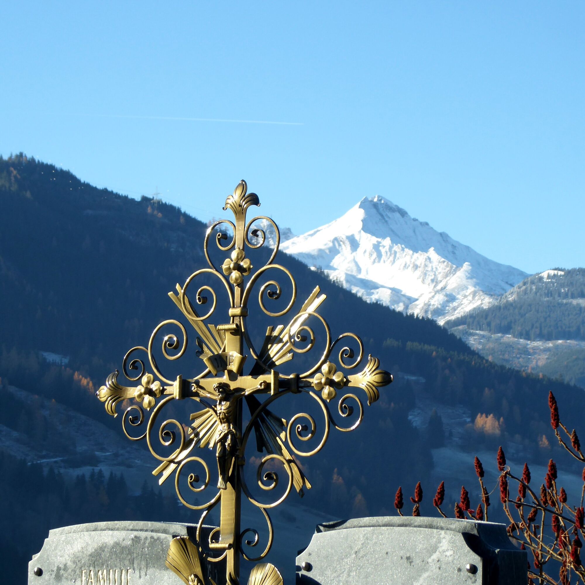
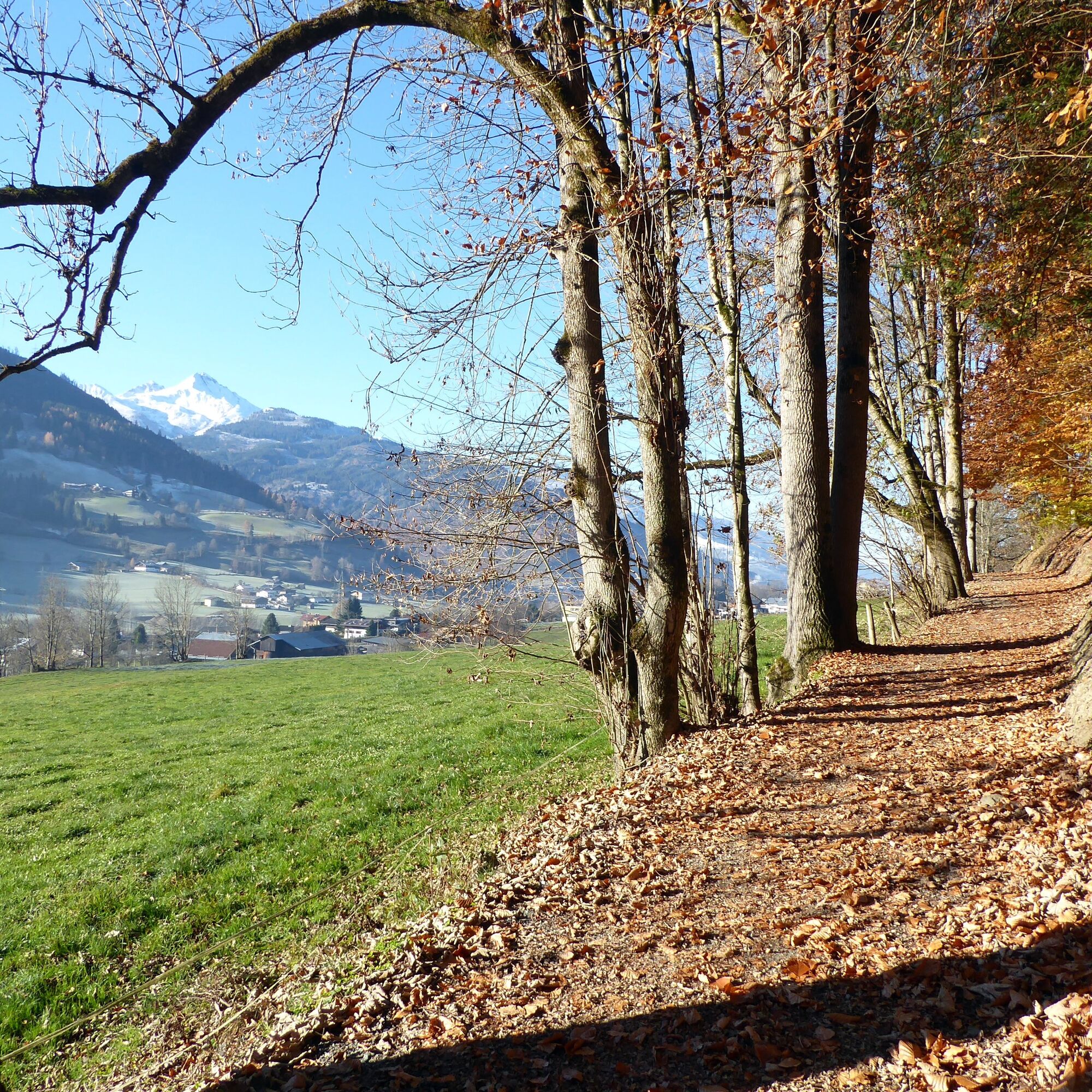
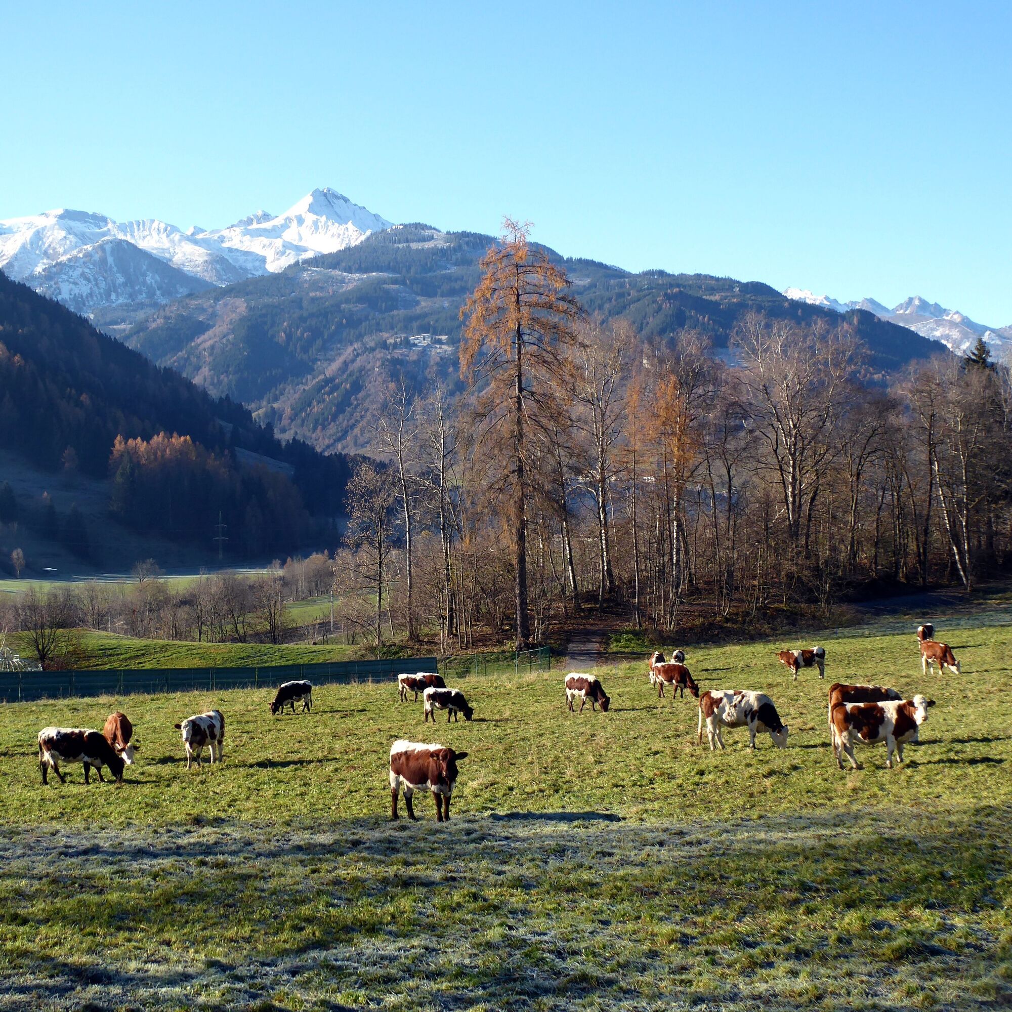
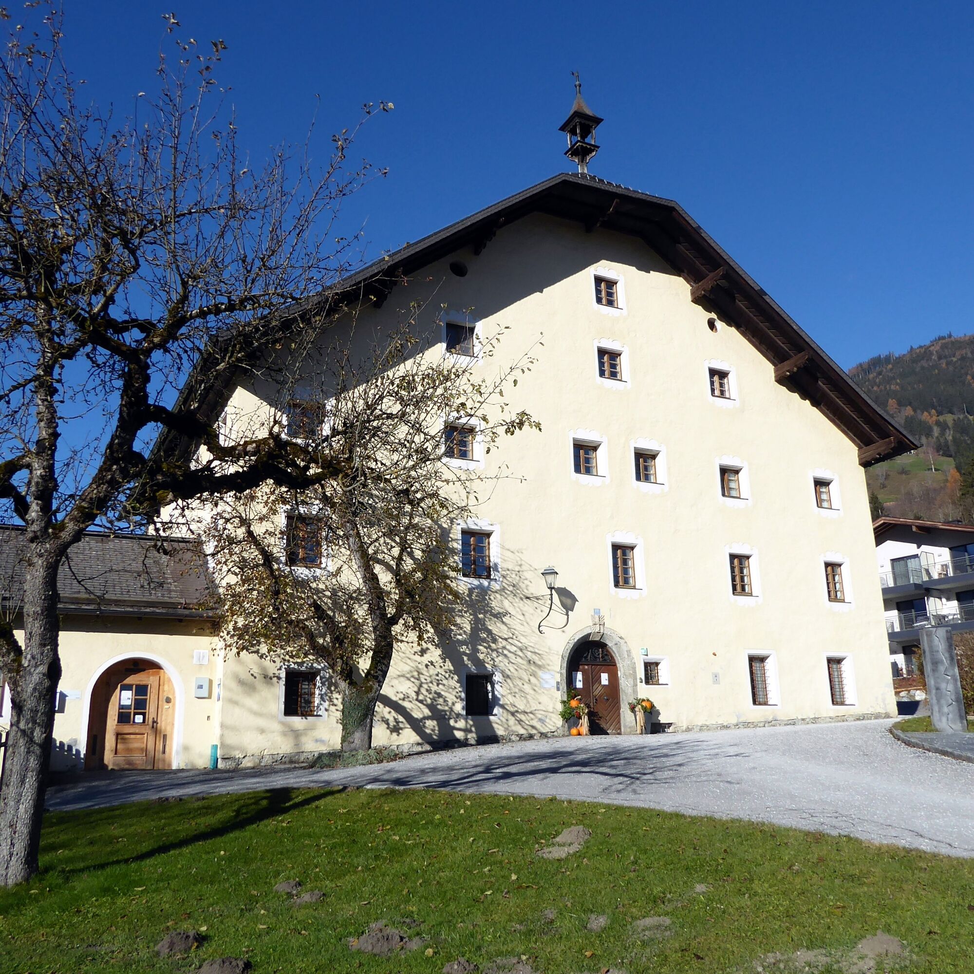
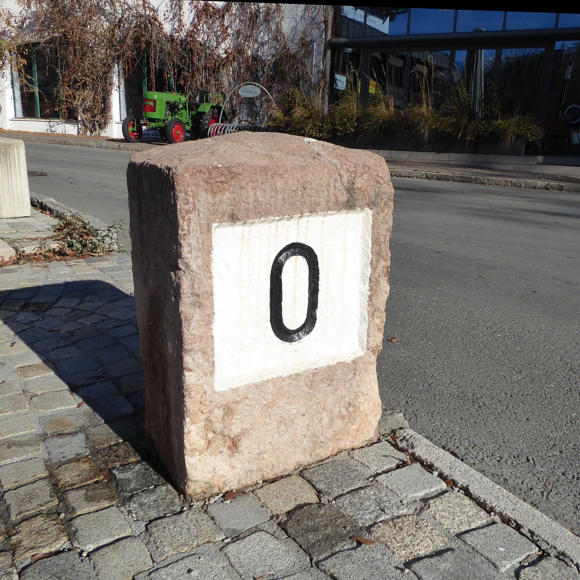
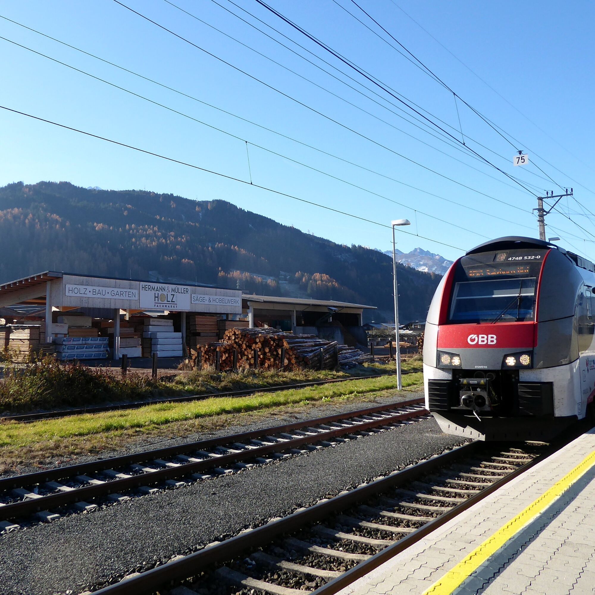

From Gries im Pinzgau station, the route crosses the federal road and now follows the marked paths 6 and 7 to St. Georgen. After visiting the church visible from afar, it continues via Steinbach, Viehhofweg, St. Georgweg, and Hausweg towards Bruck (path 6). The hail witch guards the wooden bridge shortly before Hundsdorf, where the Caritas center invites you to linger. The path leads down to the Salzach via driveways. A direct access to the station follows the signposted legend path over the footbridge to the left; a short detour remains along the Salzach and then crosses the river together with the Glocknerstraße, which begins here, via the Glockner bridge at kilometer stone “0”. Through the town center and past the parish church, the route leads to the left-turning Bahnhofstraße and follows it along to Bruck station.
Tak
Take the S 3 or REX to Gries im Pinzgau station. Return with S 3 or REX from Bruck-Fusch station.
Timetable information and download: online at www.salzburg-verkehr.at or on your smartphone via the free Salzburg Verkehr app for Android and iOS.
T1
www.bruck-fusch.at, www.grossglockner.at
Mag. Christian Heugl
5400 Hallein
christian.heugl@gmail.com
Photo credit: Christian Heugl
Maybe it fits right now: Every Tuesday and Thursday, from 11 a.m. to 3 p.m., a meeting cafe opens in the Caritas village St. Anton.
Uzyskaj wgląd
Zawsze na żywo z ponad 9 500 kamer internetowych. bergfex Jako użytkownik Pro, możesz teraz zobaczyć odpowiednie kamery internetowe dla wielu wycieczek w aplikacji wycieczki od. Pozwala to na bezpośredni podgląd aktualnych warunków.
Popularne wycieczki w okolicy
-
4,3
Schwalbenwand Nr. 80, 81, 82
średniWędrówka 13,0 km -
4,8
Highlight Kitzlochklamm Classic round
średniWędrówka 2,02 km -
4,7
Sigmund Thun Klamm, Klammsee, Bürgkogel
światłoWędrówka 4,56 km -
4,2
Maurerkogel (Top)
Wędrówka 10,5 km -
4,9
Hochsonnberg Runde
średniMountainbike 59,8 km -
4,5
Thumersbach, Runde um den Zeller See
światłoWędrówka 13,3 km -
4,4
Family hike Prinzensee
światłoWędrówka 4,13 km -
4,4
Sigmund Thun Klamm
światłoWędrówka 3,10 km -
4,2
Hundstein-Runde von Maria Alm
ciężkiMountainbike 44,4 km -
4,3
Saalachtaler Höhenweg EAST (Asitz - Biberg)
średniWędrówka 13,1 km
Wędrówki i tropienie


Nie przegap ofert i inspiracji na następne wakacje
Twój adres e-mail została dodana do listy mailingowej.





