






HOHE TAUERN PANORAMA TRAIL | Stage 09: Pinzgauer Hütte | Uttendorfer Hochsonnbergalm/Uttendorf-Pinzgauer Hütte
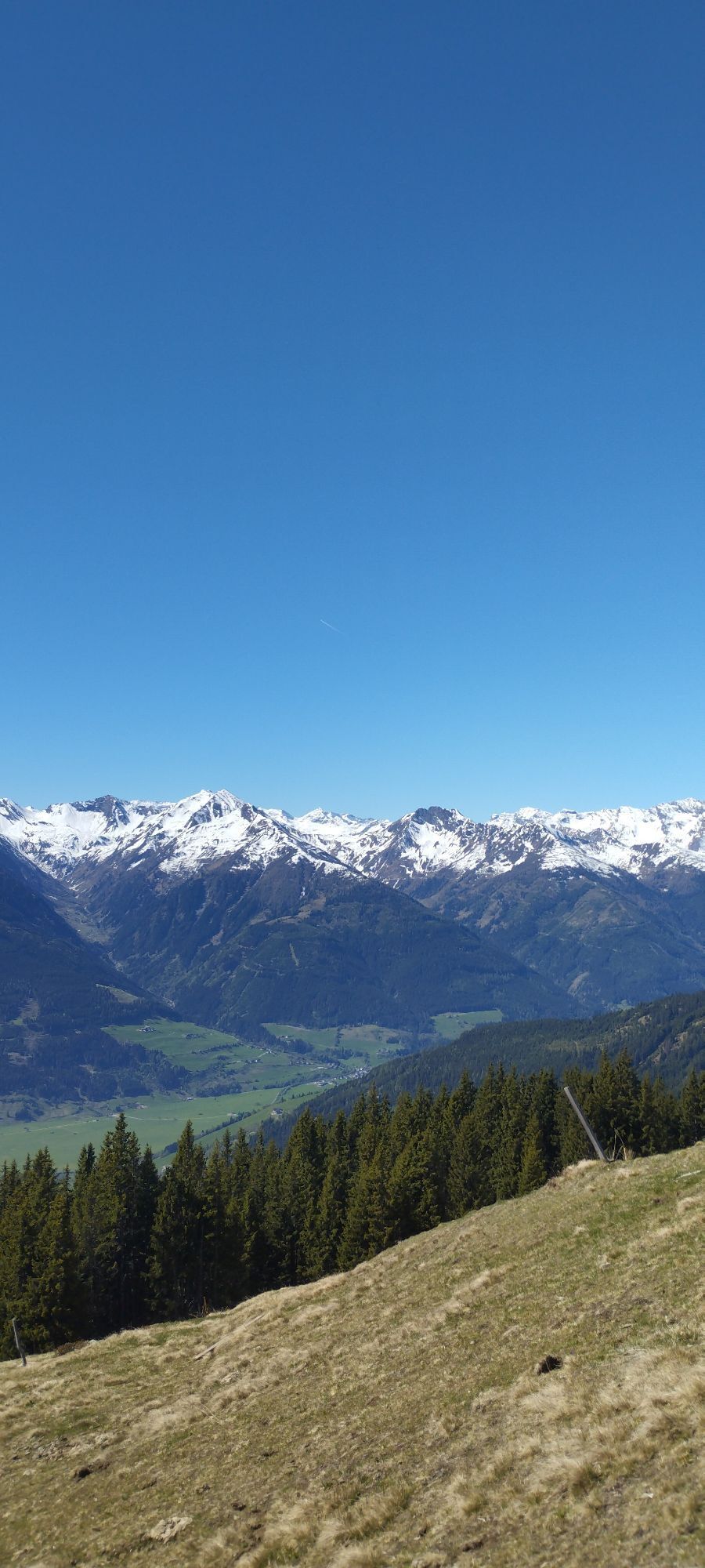
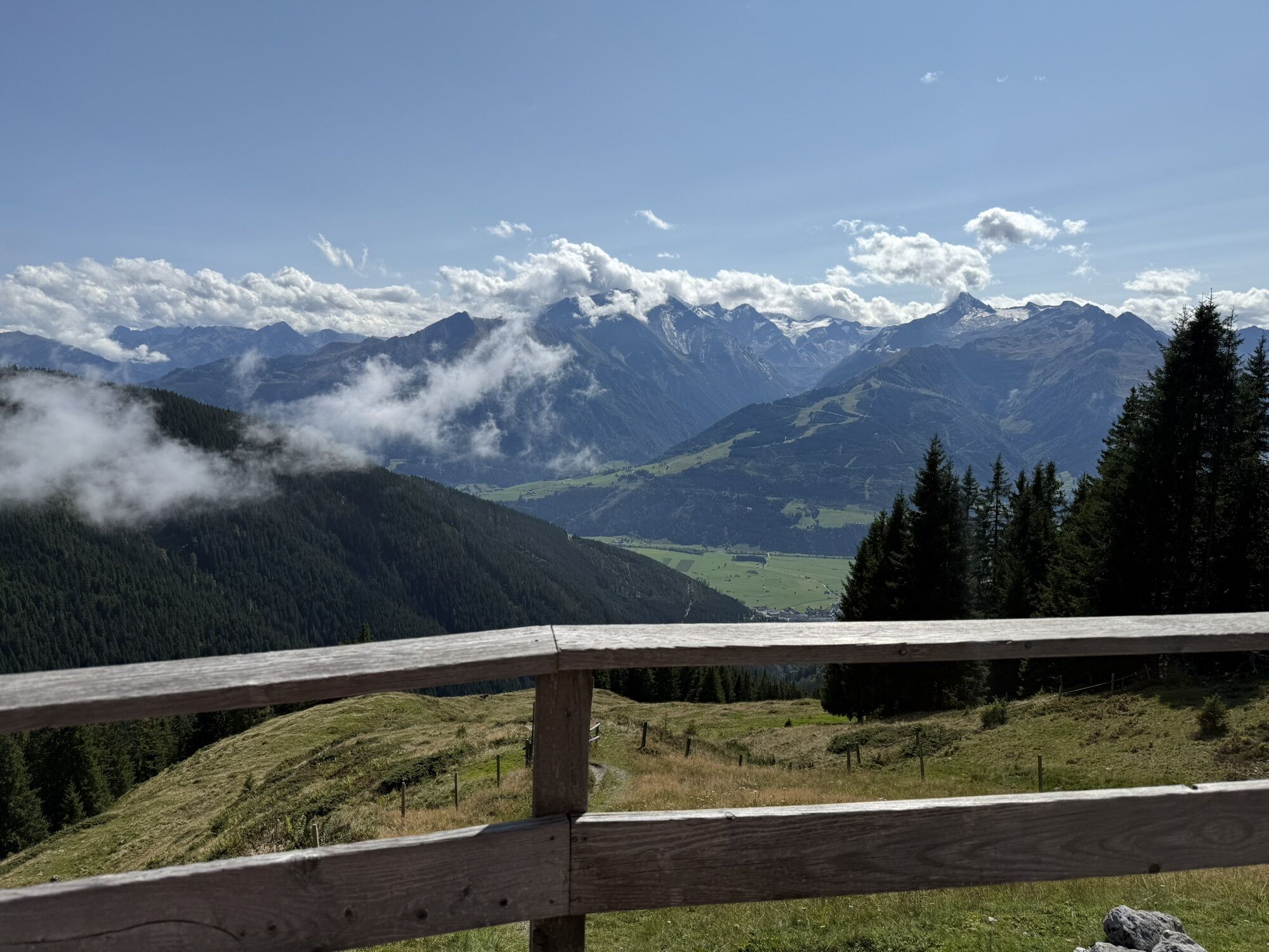
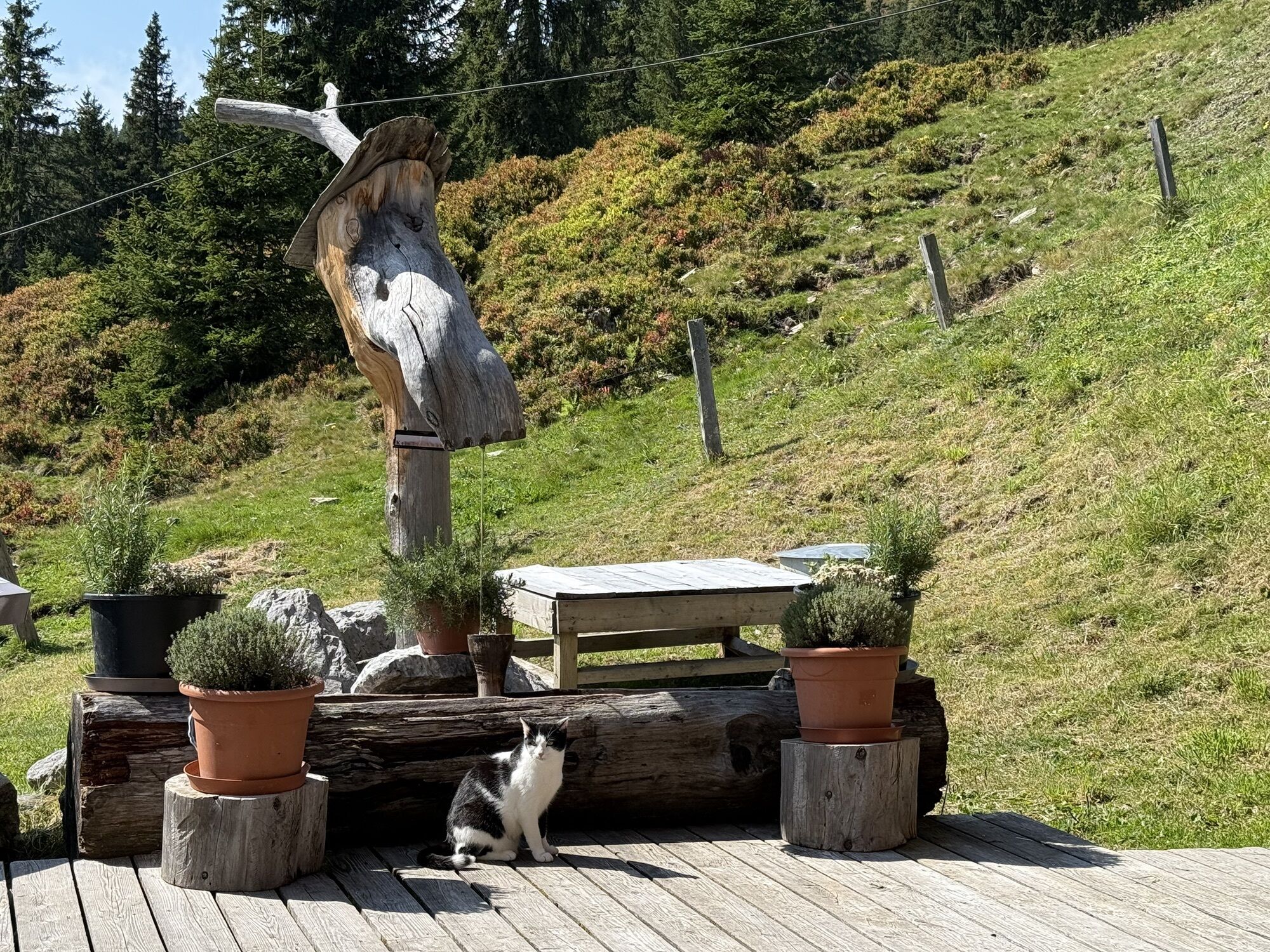
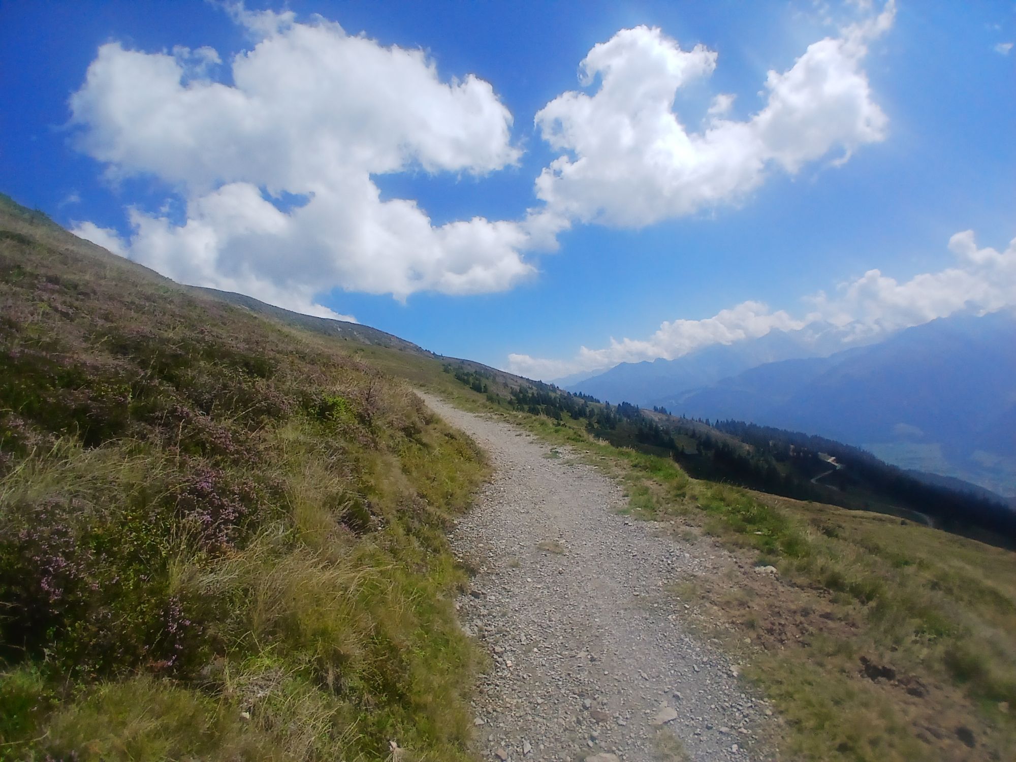
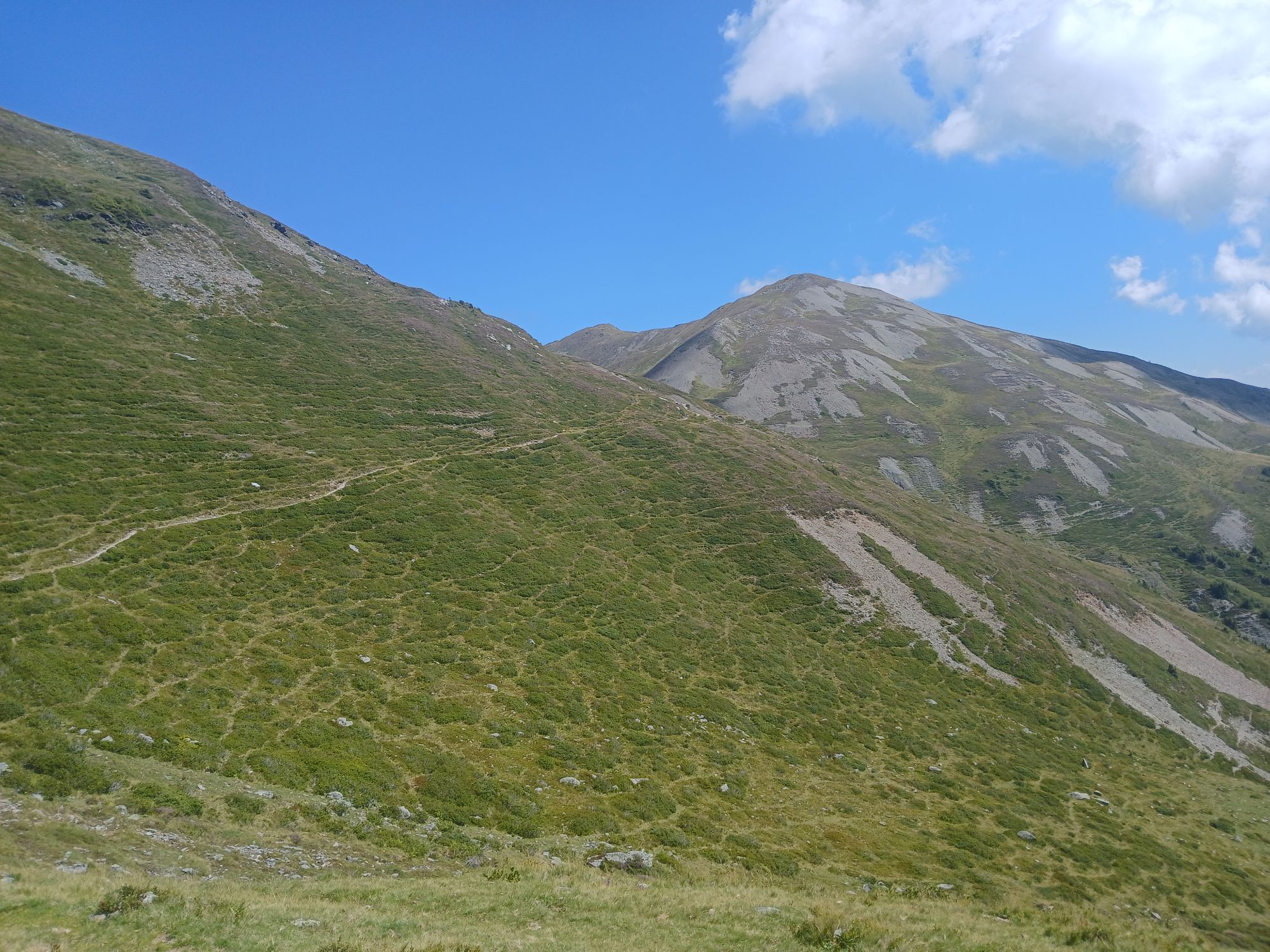
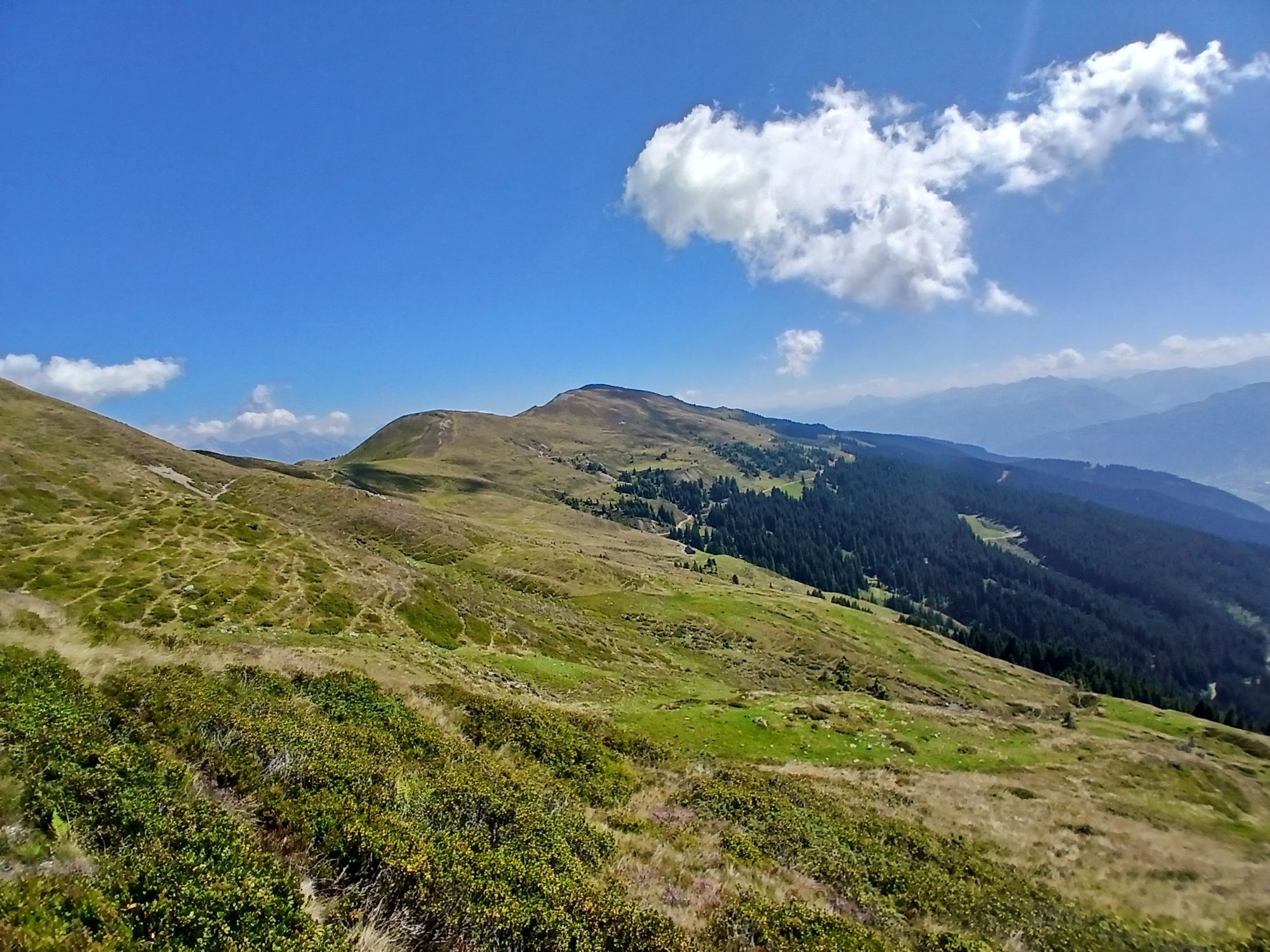
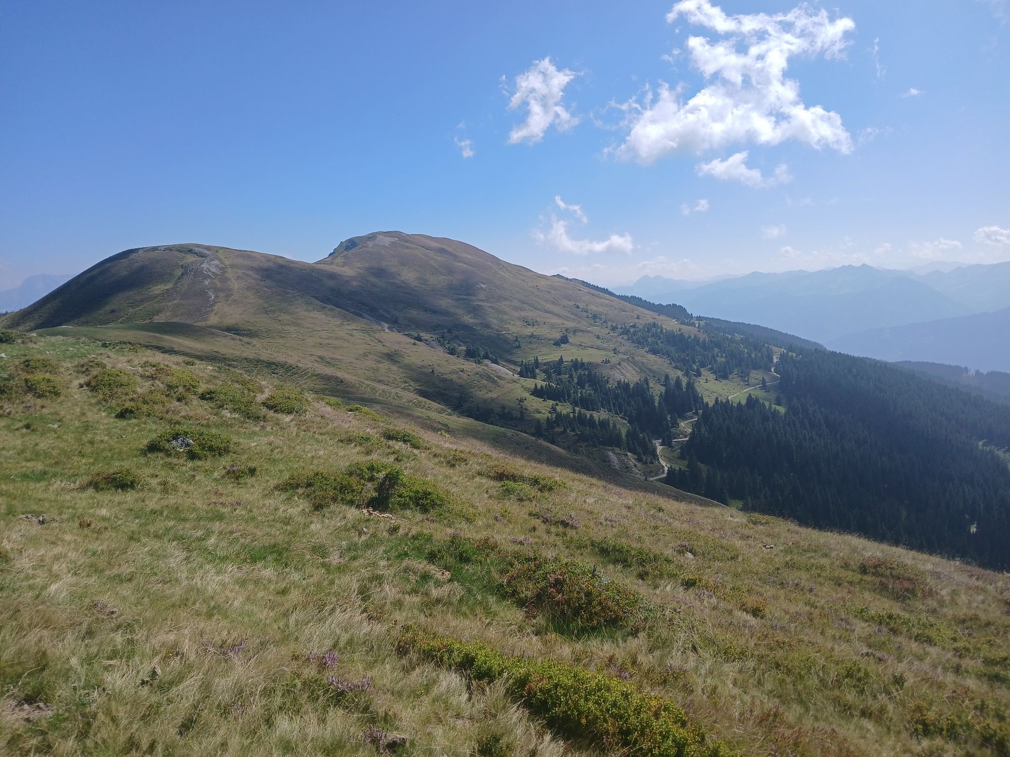
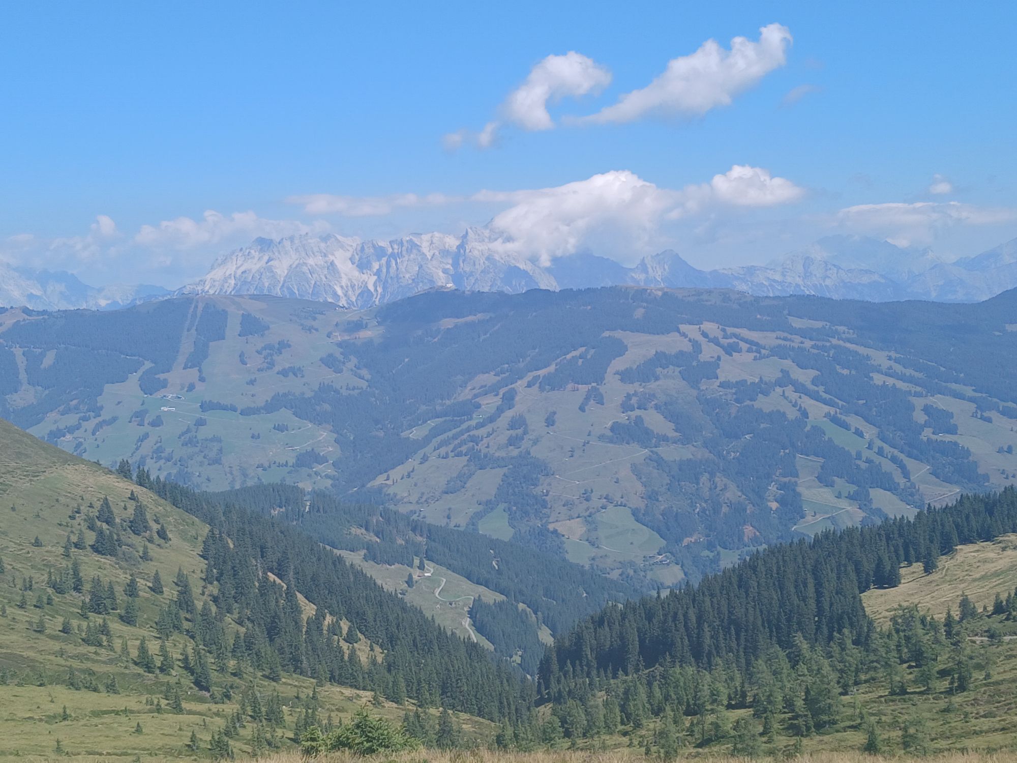
The ninth stage runs along the Pinzgauer Spaziergang trail to the Pinzgauer Hut. It crosses alpine meadows to the Klammscharte pass and continues to the Rohrertörl pass, where there is a fantastic view...
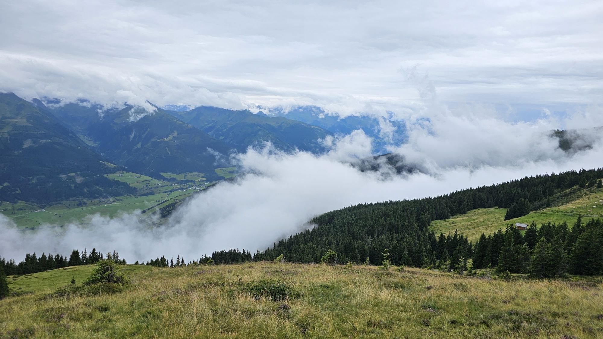
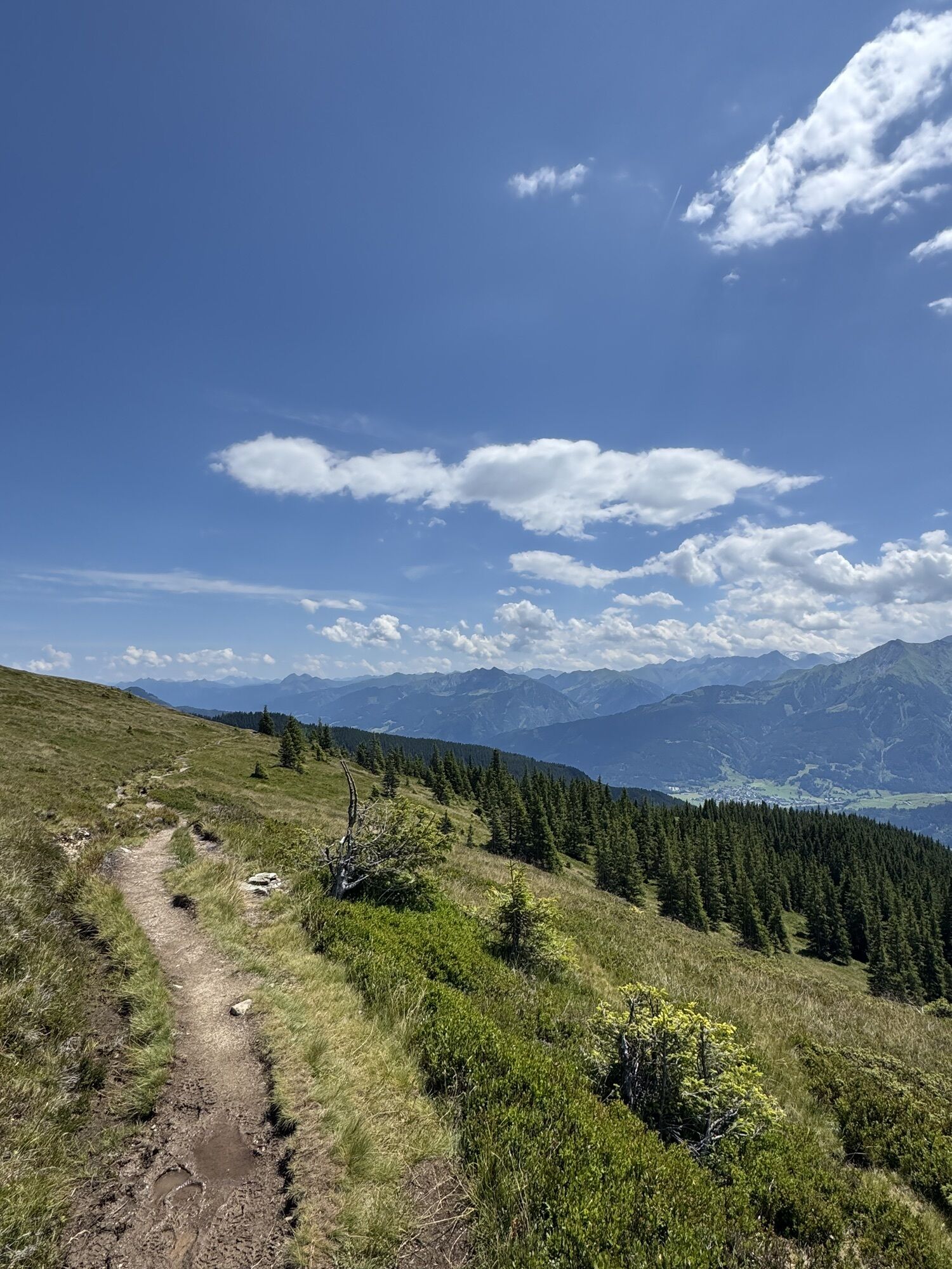
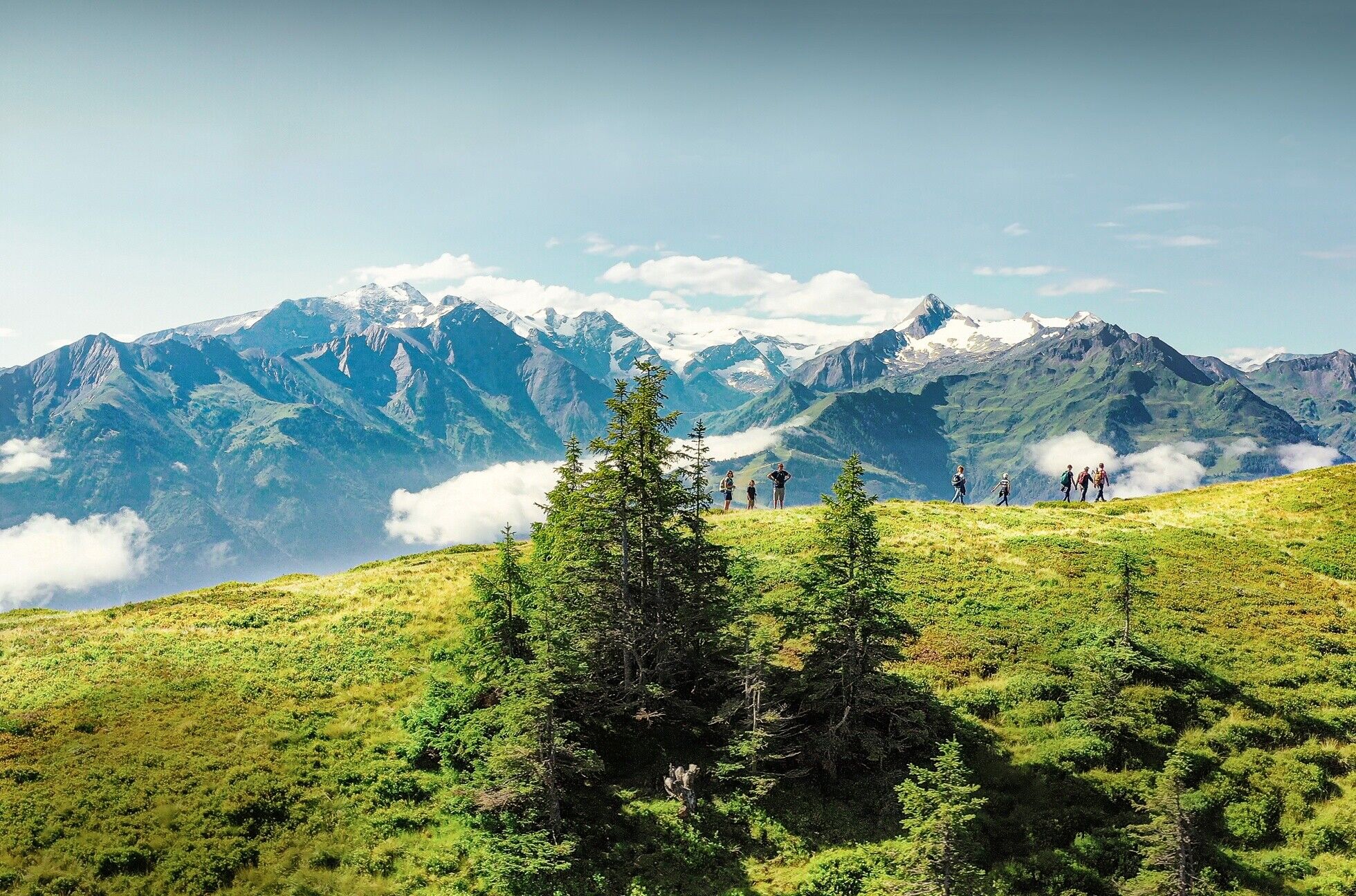
The ninth stage runs along the Pinzgauer Spaziergang trail to the Pinzgauer Hut. It crosses alpine meadows to the Klammscharte pass and continues to the Rohrertörl pass, where there is a fantastic view of the Großglockner. The route is around 15 kilometres long and runs through magnificent high mountain scenery with virtually no significant differences in altitude.

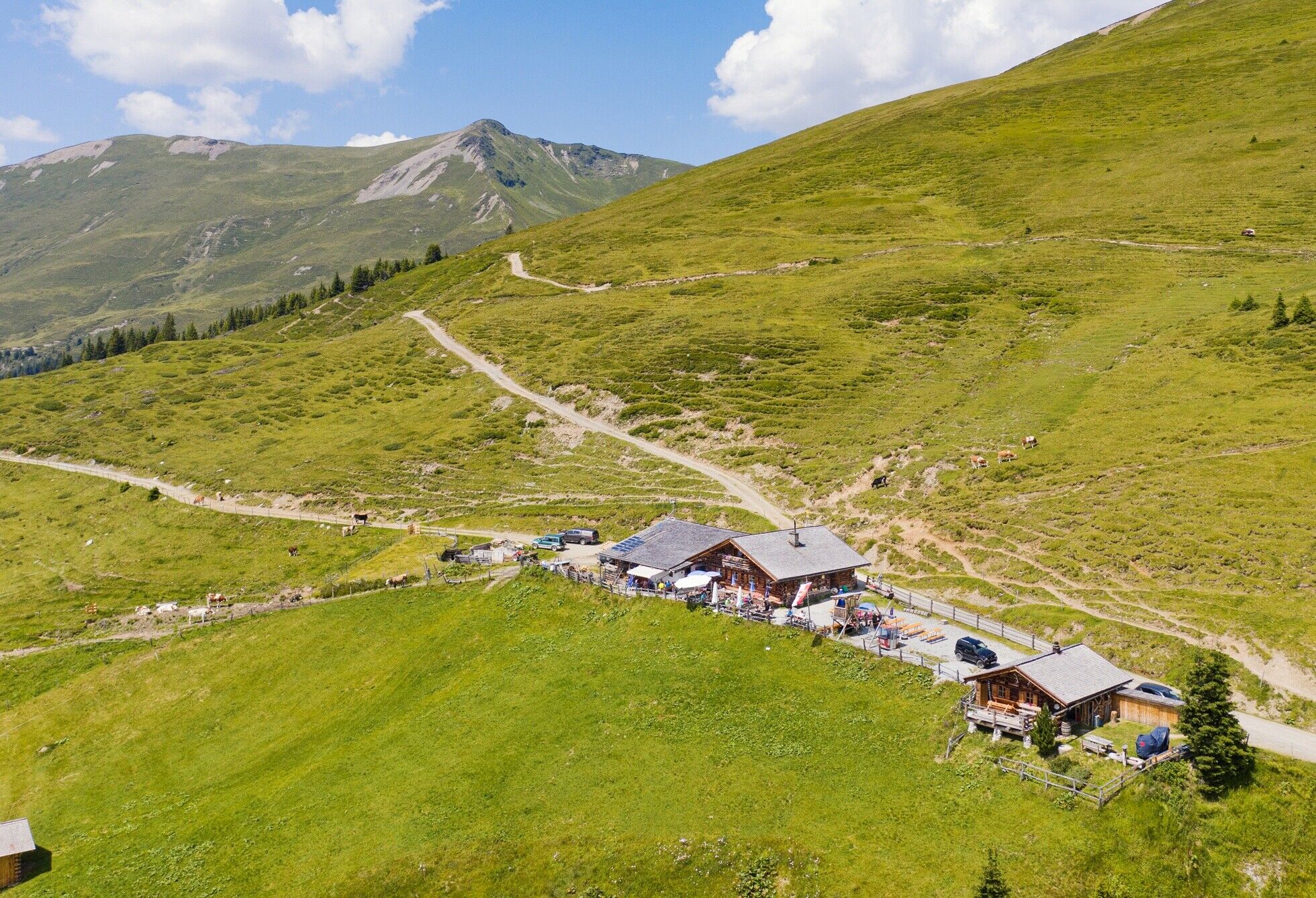
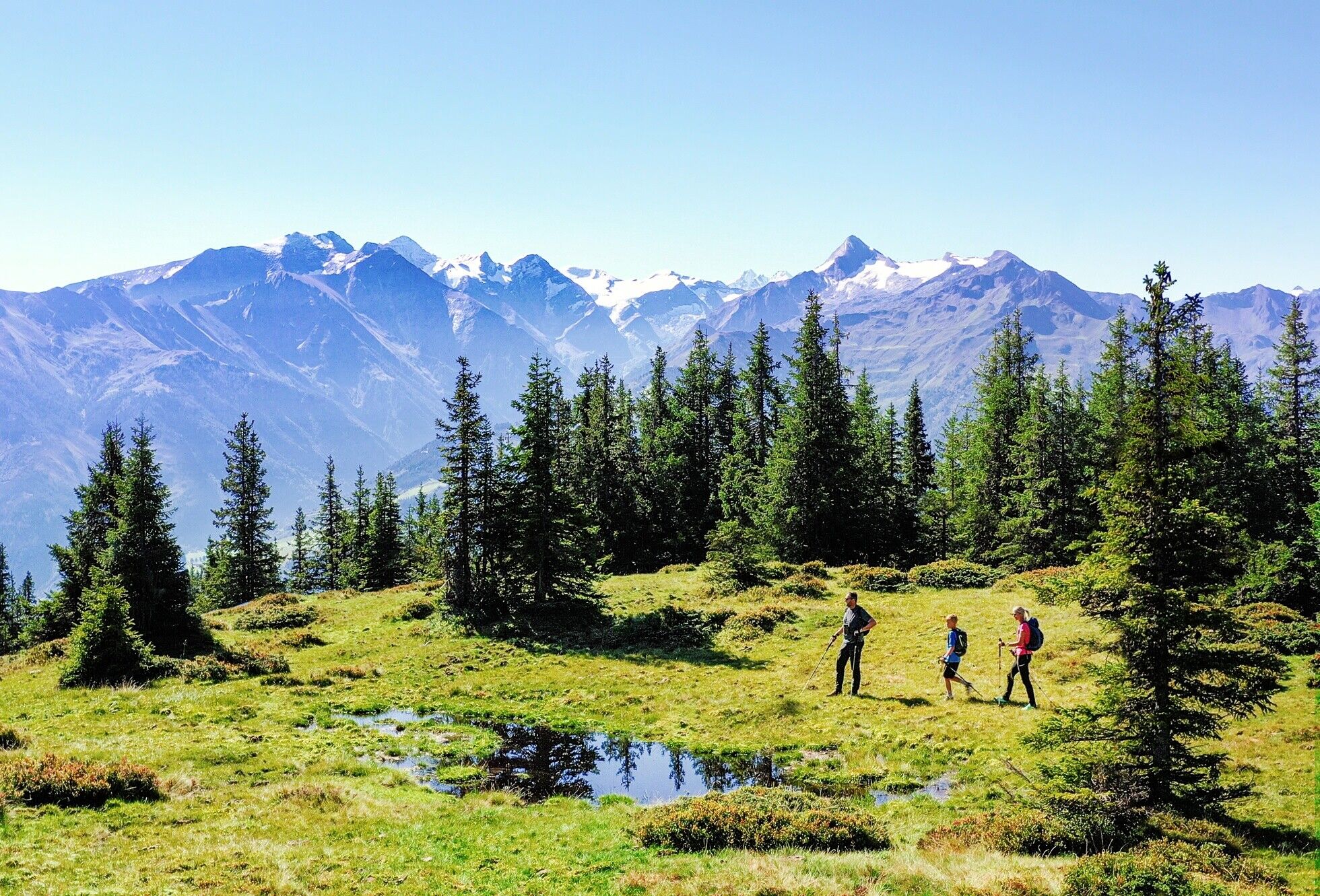

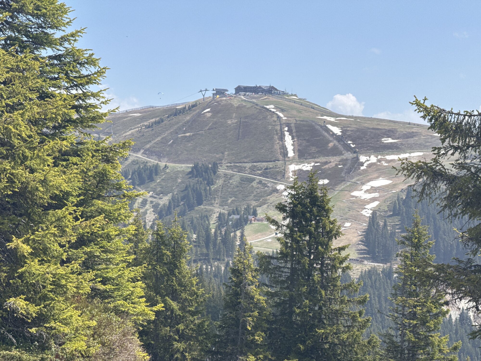
At the eastern end of the Rohrertörl, we recommend a short detour to the Piesendorfer Hochsonnbergalm for a refreshment stop before returning to the trail. Continue eastwards at the same altitude to the Kesselscharte (1,844 m). There, leave the Pinzgauer Spaziergang and follow a path sharply to the right down to the road, then turn left onto the hiking trail that leads you directly to the Pinzgauer Hütte (1,700 m).
You need alpine hiking equipment for the Hohe Tauern Panorama Trail:
Day backpack, capacity: 25–30 litres, with waist belt and rain cover Hiking boots – minimum category B Weather-adapted and hard-wearing clothing in multiple layers. The Hohe Tauern Panorama Trail is mostly at altitudes between 1,300m and 2,450m - this should be taken into account when choosing your hiking equipment (especially your clothing).Height-adjustable trekking polesSun and rain protectionMake sure take enough to eat and sufficiently large water bottles with you, as there are not refreshment stops and fountains on all stages (e.g. on stages 5 and 7).First aid kitPocket knifeMobile phoneTour description or hiking mapComing from the north - (D, NL, ...): Munich - Kufstein - St. Johann in Tirol - Kitzbühel - Pass Thurn - Mittersill - PiesendorfComing from the west (CH): Inntal-Autobahn - exit Wörgl Ost - St. Johann in Tirol - Kitzbühel - Pass Thurn - Mittersill - PiesendorfComing from the east: Vienna - Salzburg - St. Johann im Pongau - Zell am See - PiesendorfComing from the south: Lienz - Matrei - Felbertauernstrasse (toll road) - Mittersill - Piesendorf
670 line: Zell am See - Mittersill – Krimml673 line: Wald im Pinzgau - Krimml - Almdorf Königsleiten
Timetables and information on how to get there by public transport >>
Parking is available at the respective starting points of the trail trip. Most of the parking spaces are free and not monitored!
Ferienregion Nationalpark Hohe Tauern Gerlosstraße 18 5730 Mittersill, Austria Phone +43 6562 40939 E-Mail: hohetauerntrail@nationalpark.at
Booking center & info hotline Trail Angels GmbH 9821 Obervellach 15, Austria Phone +43 4782 93093 E-Mail: info@bookyourtrail.com
The official brochure and map material of the Hohe Tauern National Park Holiday Region provides everything you need for your long-distance hike on around 100 pages: detailed information on all 17 stages, dining options, highlights, elevation profiles, maps, and much more.
The Markus Gassner shuttle service, tel. +43 6563 8484, will take you to the start of the stage at the Hochsonnbergalm in Uttendorf.
 Uzyskaj wgląd Zawsze na żywo z ponad 9 500 kamer internetowych. bergfex Jako użytkownik Pro, możesz teraz zobaczyć odpowiednie kamery internetowe dla wielu wycieczek w aplikacji wycieczki od. Pozwala to na bezpośredni podgląd aktualnych warunków.
 Popularne wycieczki w okolicy
- 4,8
Sigmund Thun Klamm, Klammsee, Bürgkogel
światłoWędrówka 4,56 km - 4,6
Sigmund Thun Klamm
światłoWędrówka 3,10 km - 4,9
Hochsonnberg Runde
średniMountainbike 59,8 km - 4,4
Thumersbach, Runde um den Zeller See
światłoWędrówka 13,3 km - 4,0
Berg der Sinne
światłoWędrówka 4,39 km - 5,0
Panorama route 3 peaks and 2 lakes
średniWędrówka 7,35 km - 3,8
Maurerkogel (Top)
Wędrówka 10,5 km - 5,0
Leo’s play hiking trail
światłoTrasa tematyczna 4,89 km - 4,7
Tristkogel
ciężkiWędrówka 15,6 km - 4,2
Saalachtaler Höhenweg EAST (Asitz - Biberg)
średniWędrówka 13,1 km
Wędrówki i tropienie


Nie przegap ofert i inspiracji na następne wakacje
Twój adres e-mail została dodana do listy mailingowej.





