


719 | Pinzgauer Spaziergang
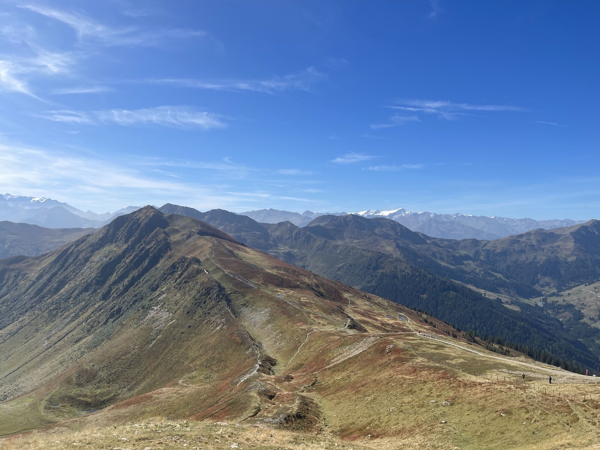
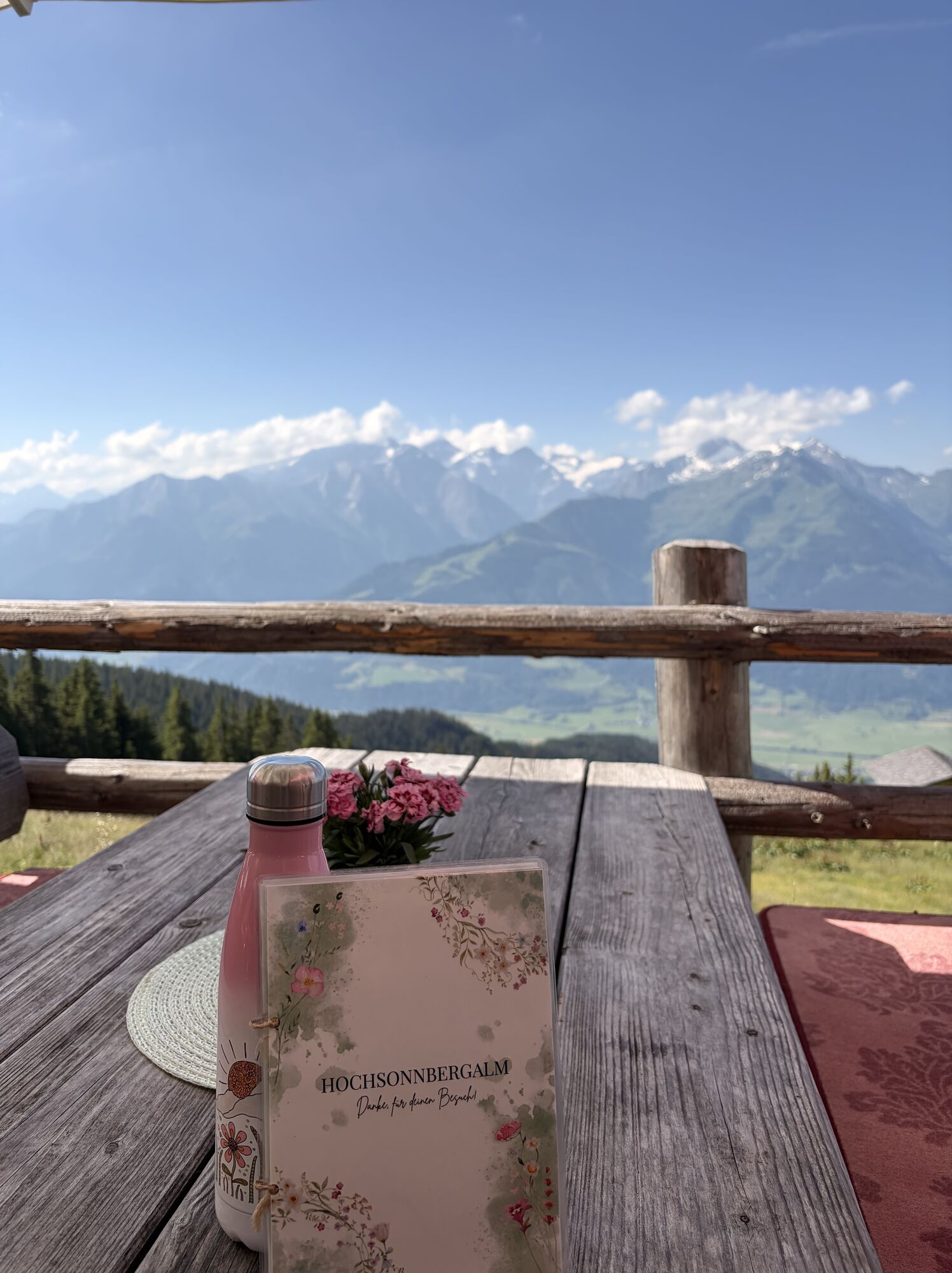
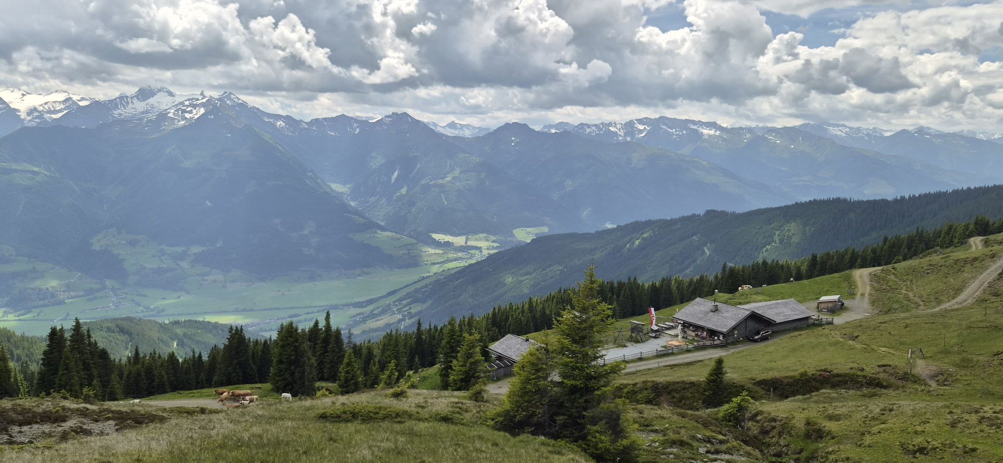
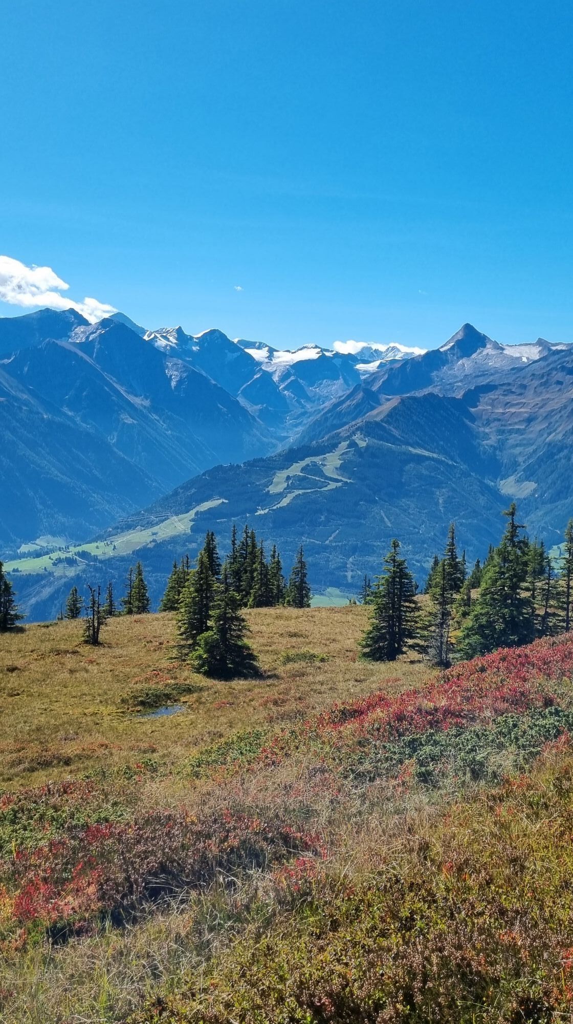

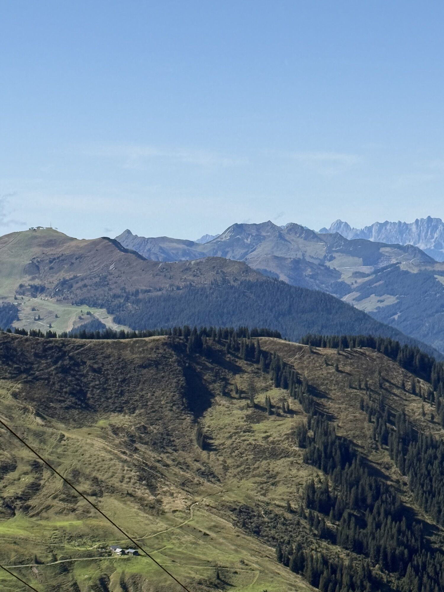
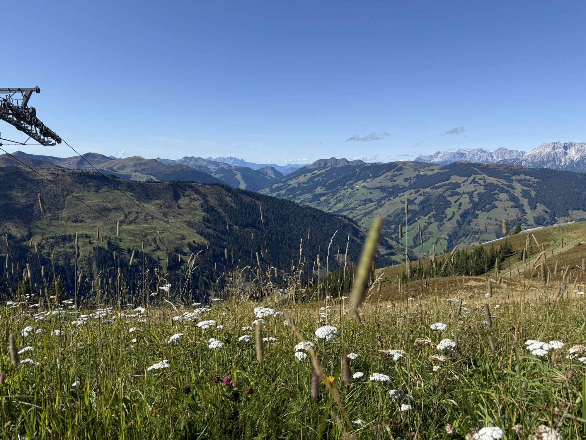


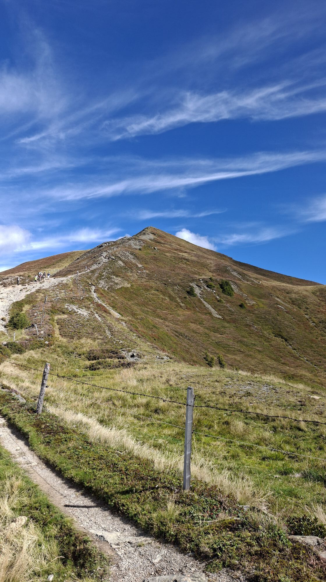
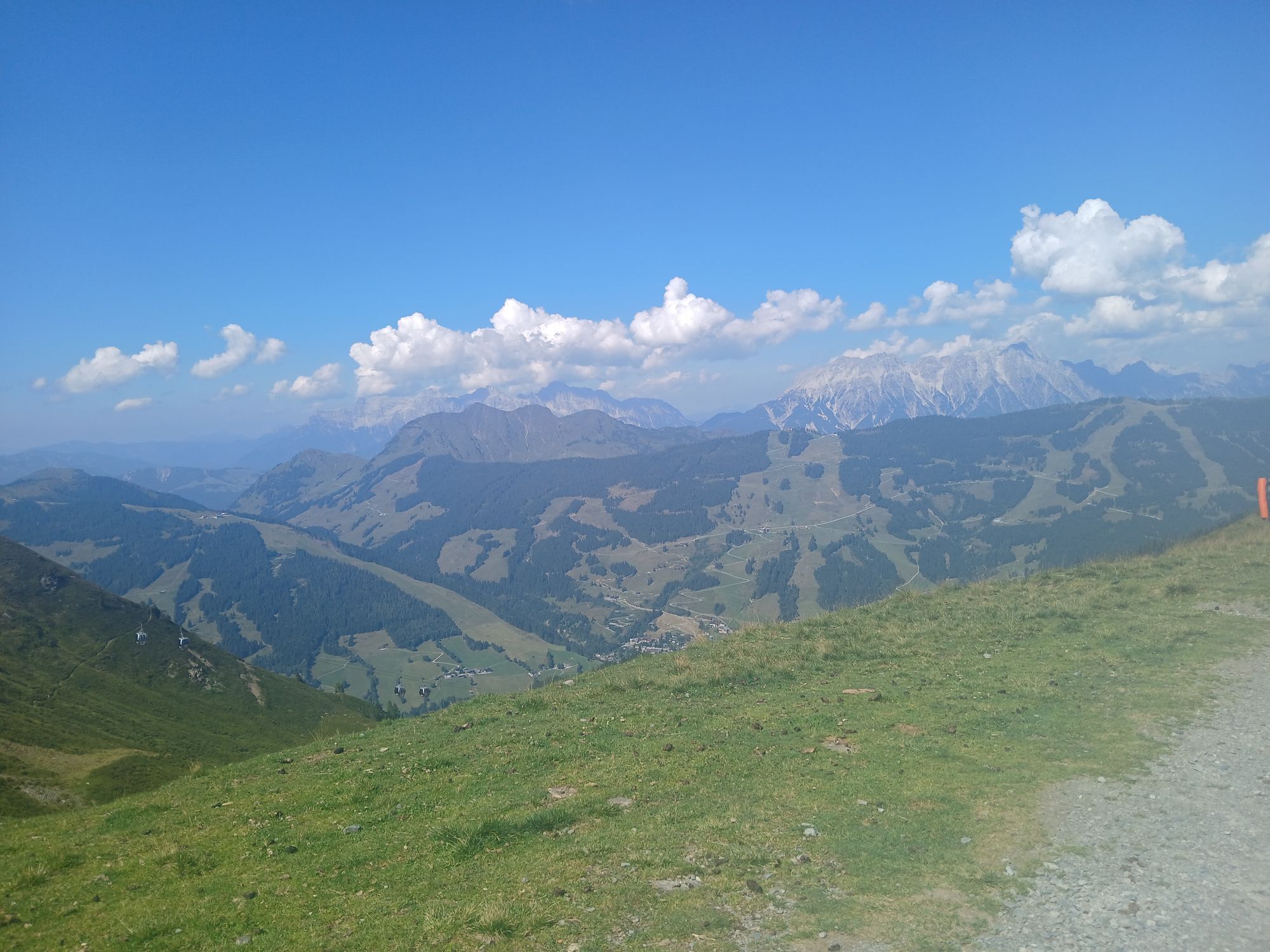
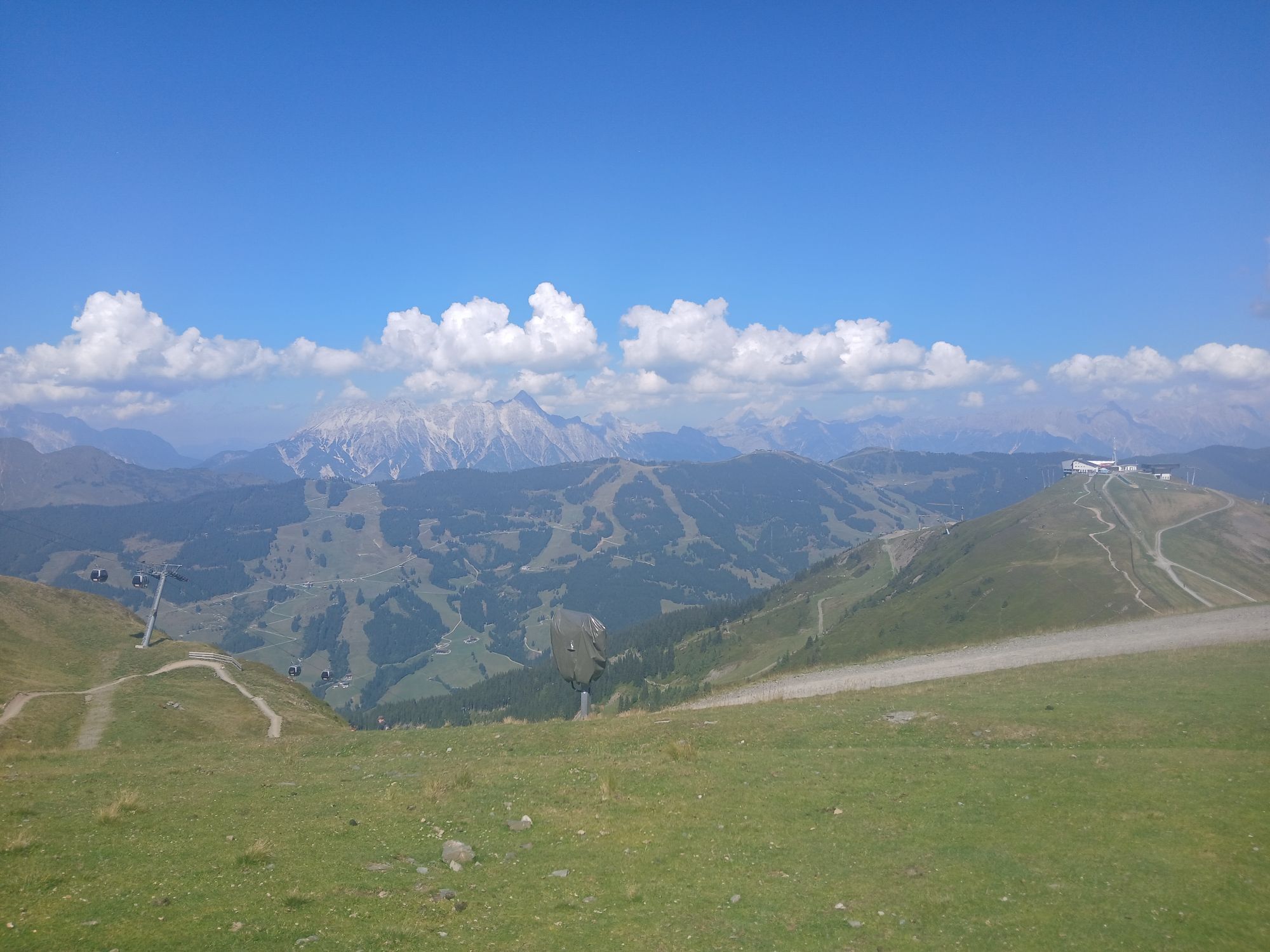
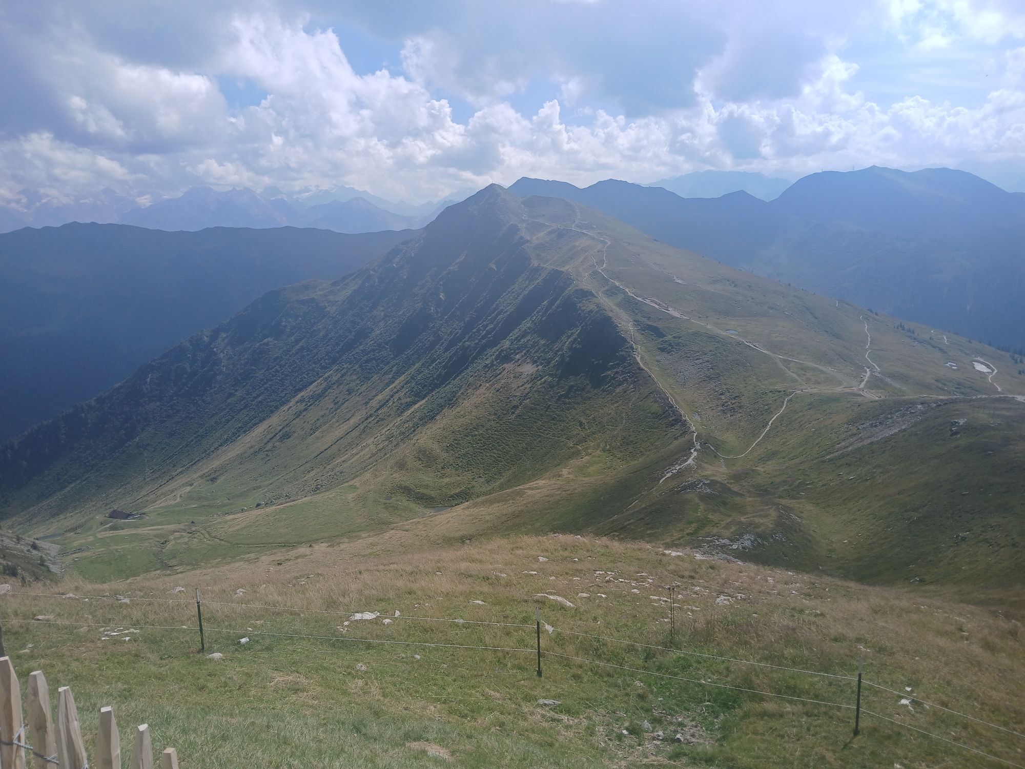
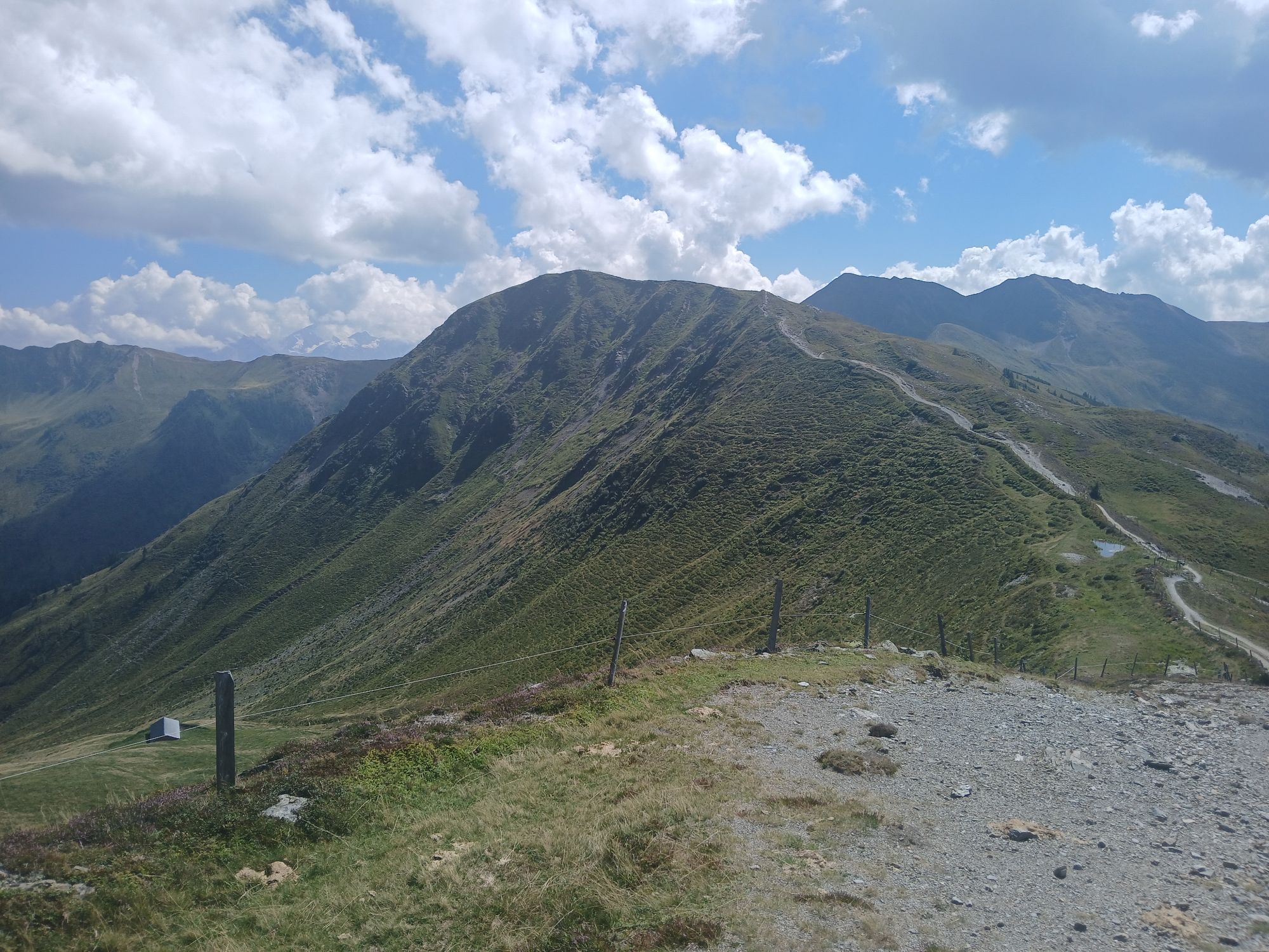
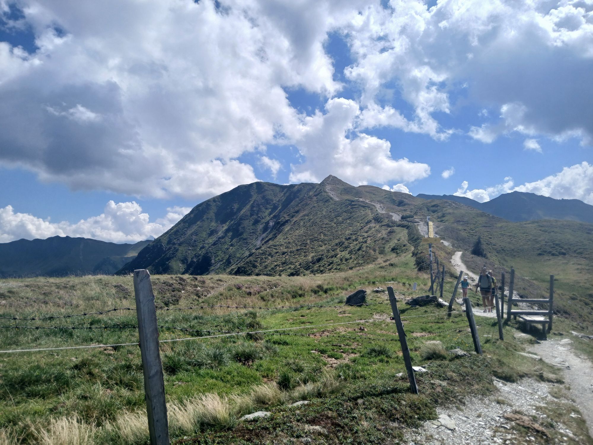
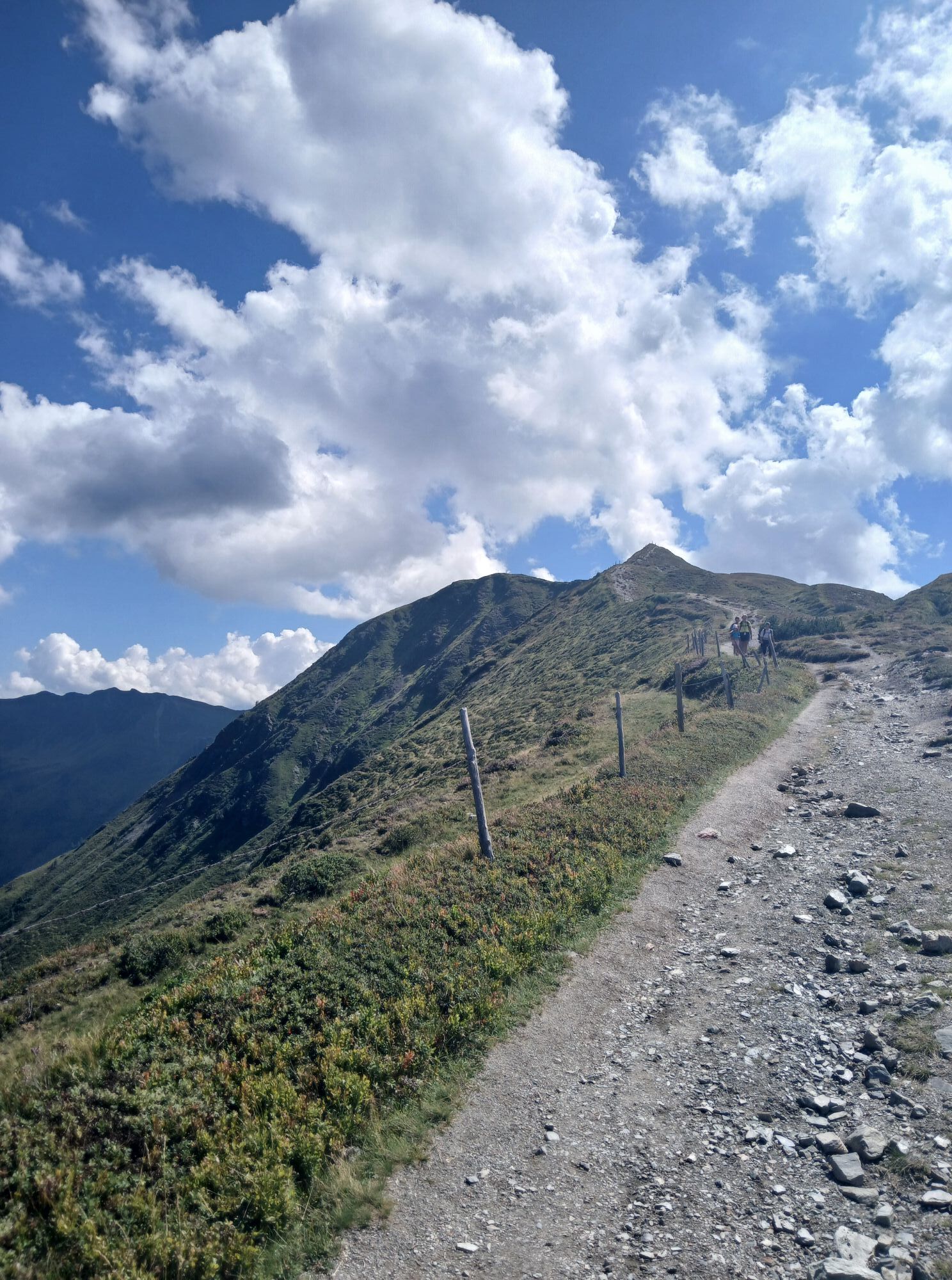
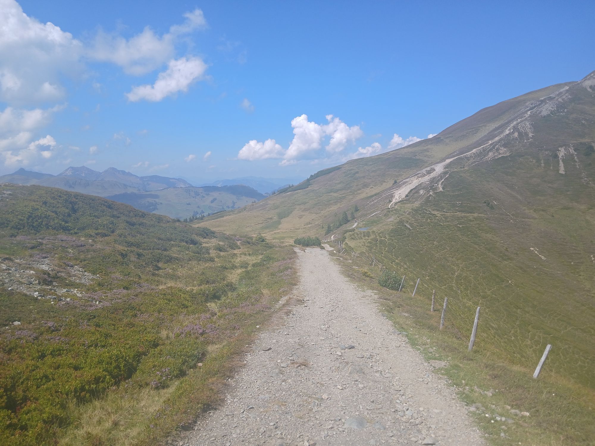
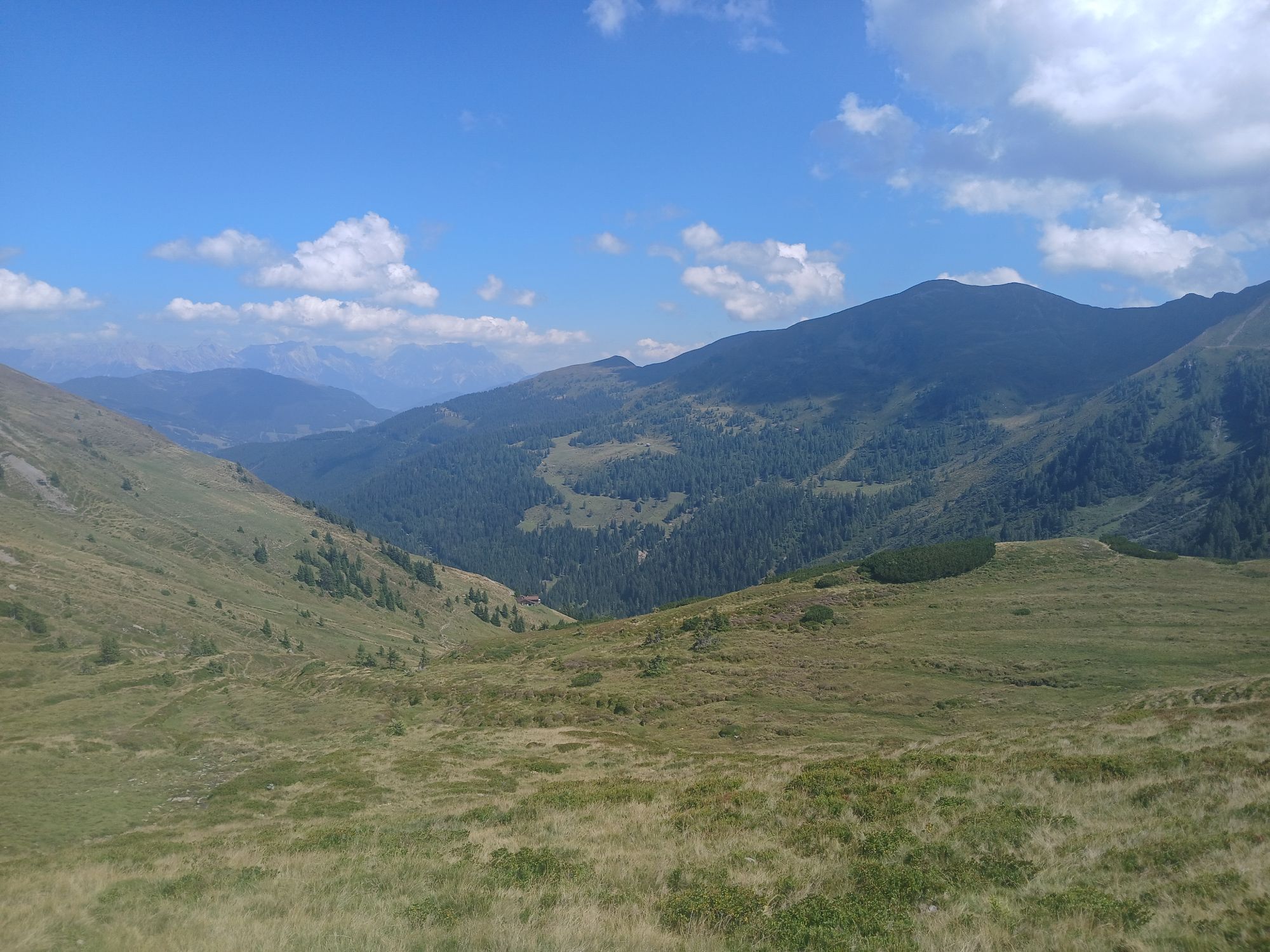

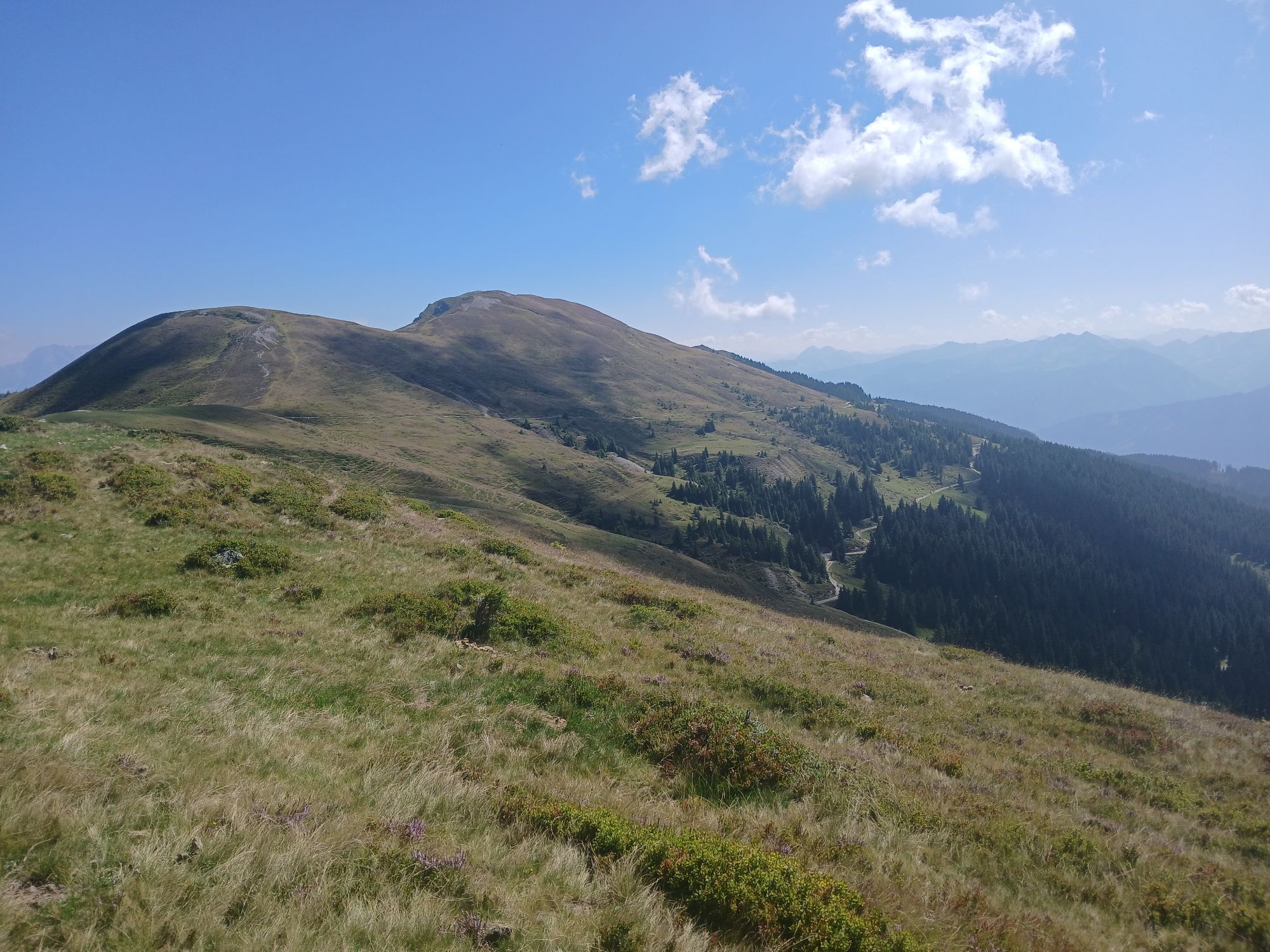

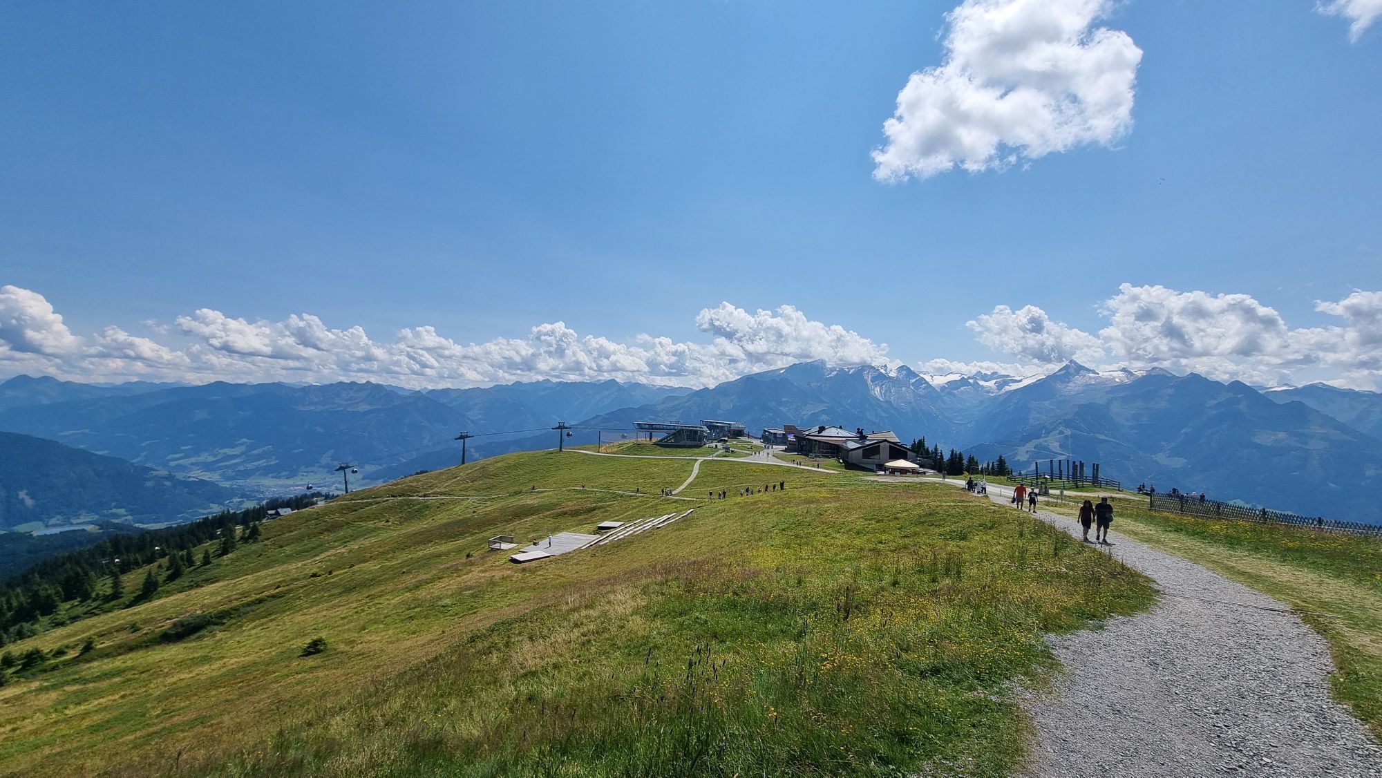


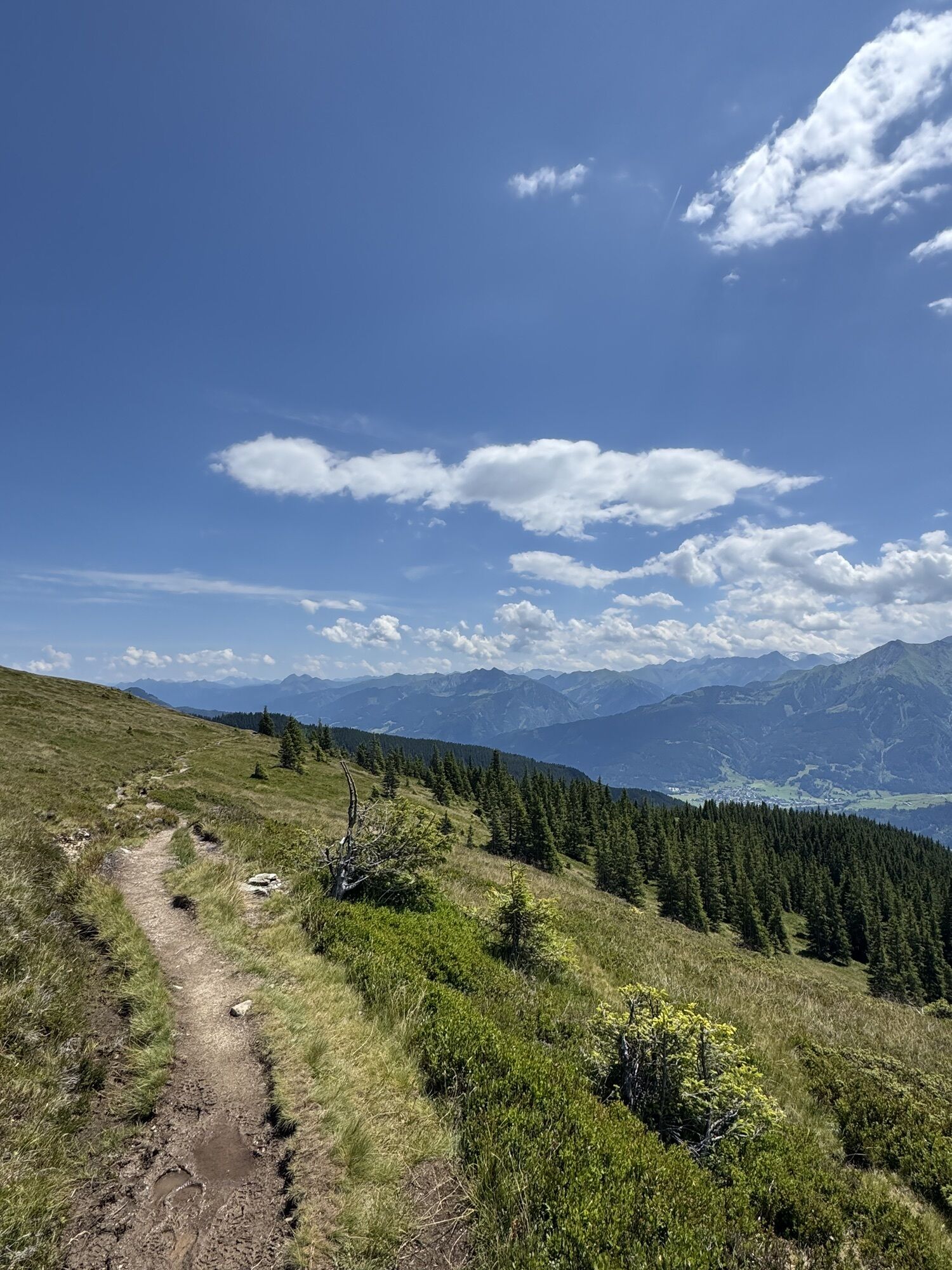
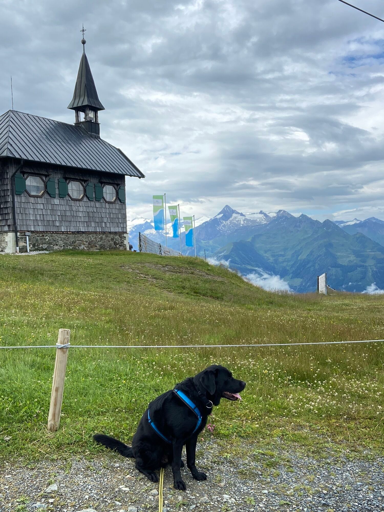
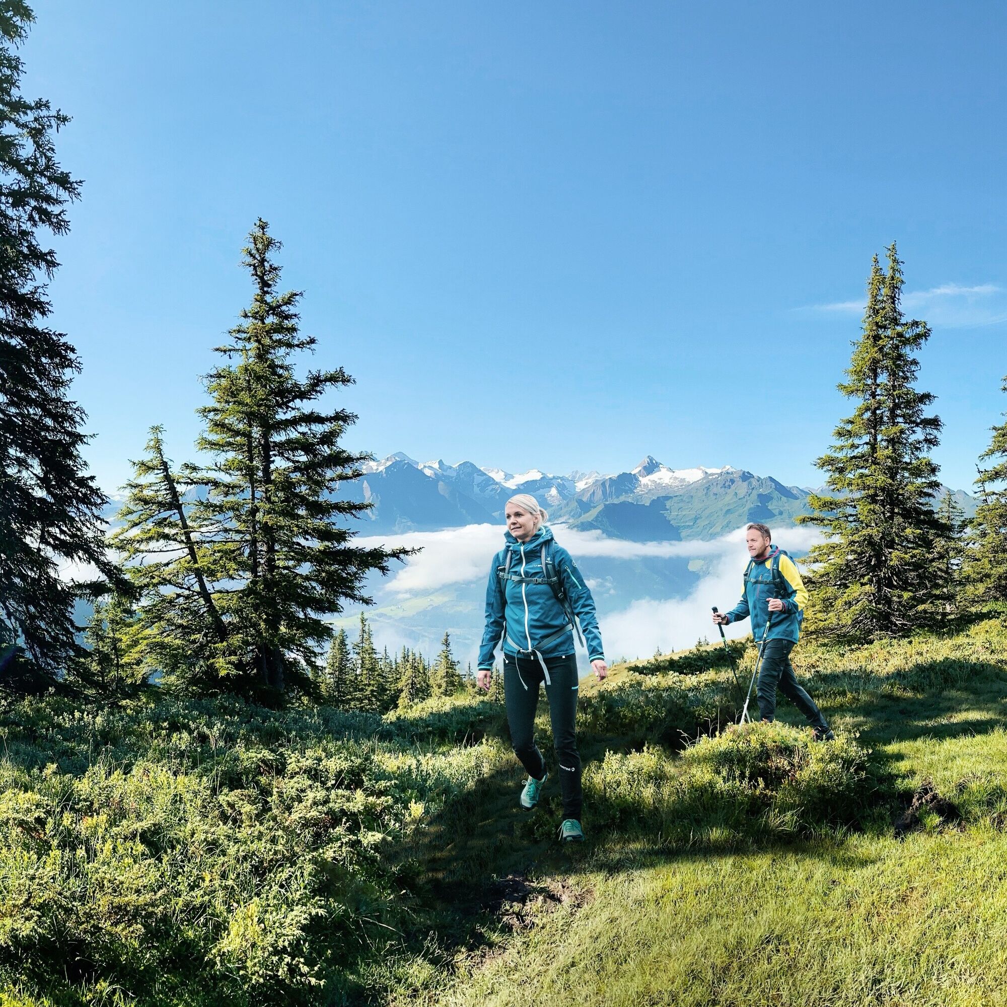
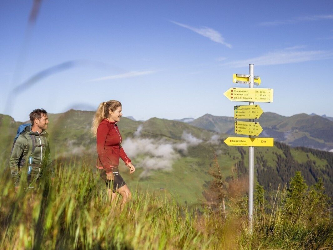
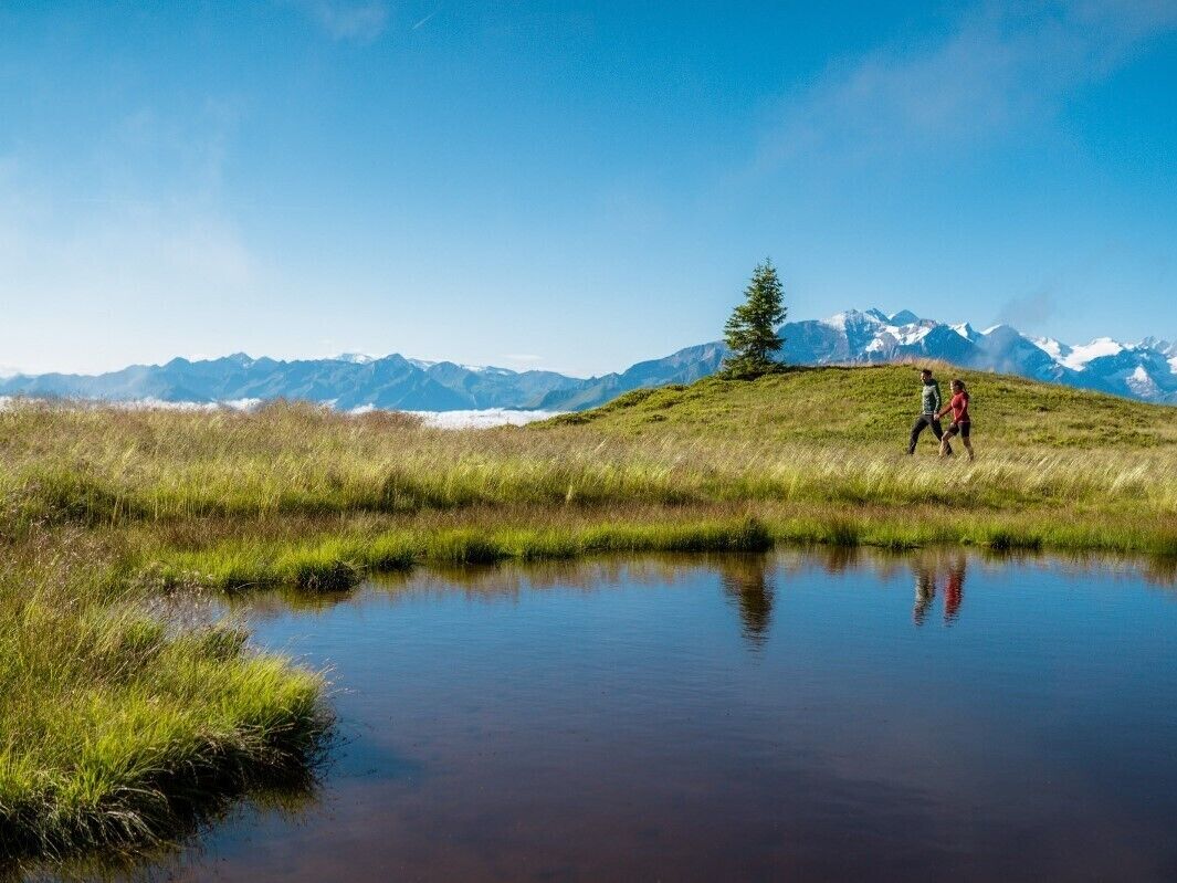
The route begins at Schmittenhöhe near Elisabethkapelle chapel and leads over Kettingtörl to Pinzgauer Hütte, along the Hahnkopflift over Kettingkopf and below the ridge to Hochsonnbergalm. It continues...
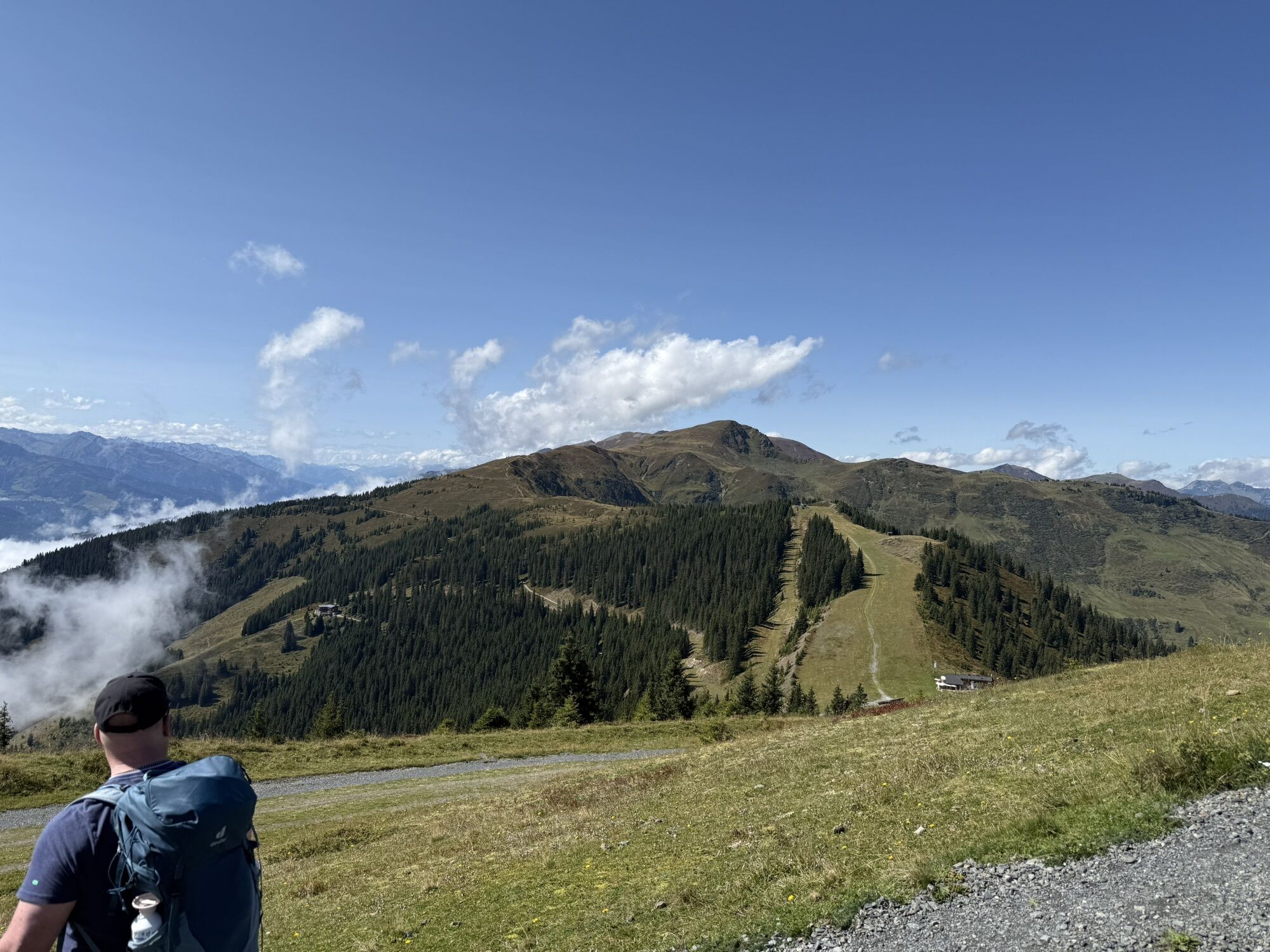
From Klingertörl, there are various options: descent via Hacklbergalm to Hinterglemm, continuation via Saalbachkogel and Stemmerkogel to Schattberg, or longer tours to Medalkogel and Bürglhütte with overnight accommodation.
Further options: Hike from the Klingertörl to the Medalkogel and descent to Uttendorf. For long-distance hikers, the Pinzgau Walk ends at the Bürglhütte (overnight accommodation) - descent to Stuhlfelden. Röhrertörl: approx. 2.5 h, descent to Piesendorf: approx. 3.5 h, descent to Niedernsill: approx. 6 h, Klingertörl: 5 h, descent to Uttendorf: approx. 8 h, Bürgl Hütte: approx. 10 h, Schattberg: approx. 6 h, descent to Hinterglemm: approx. 9 h
There are no open huts or mountain restaurants along the route! Bring sufficient supplies – ideally two complete meals, additional snacks and several litres of water. Good food wear, protection agains rain and sun! The weather can change quickly in the mountains!
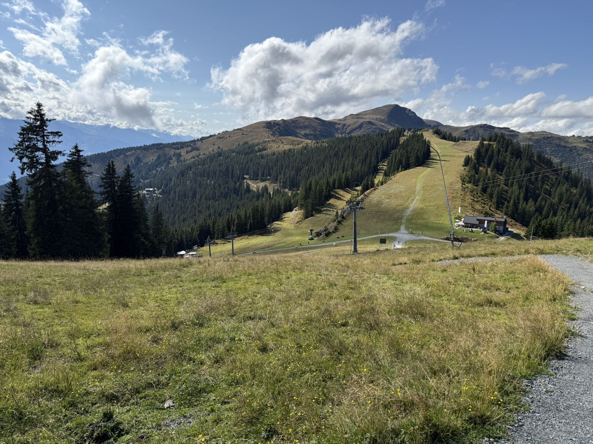
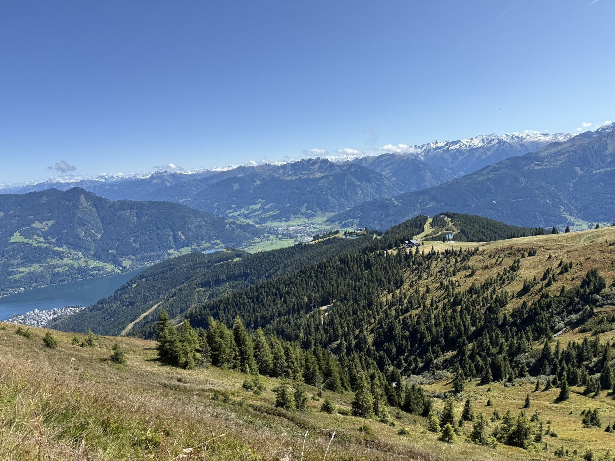
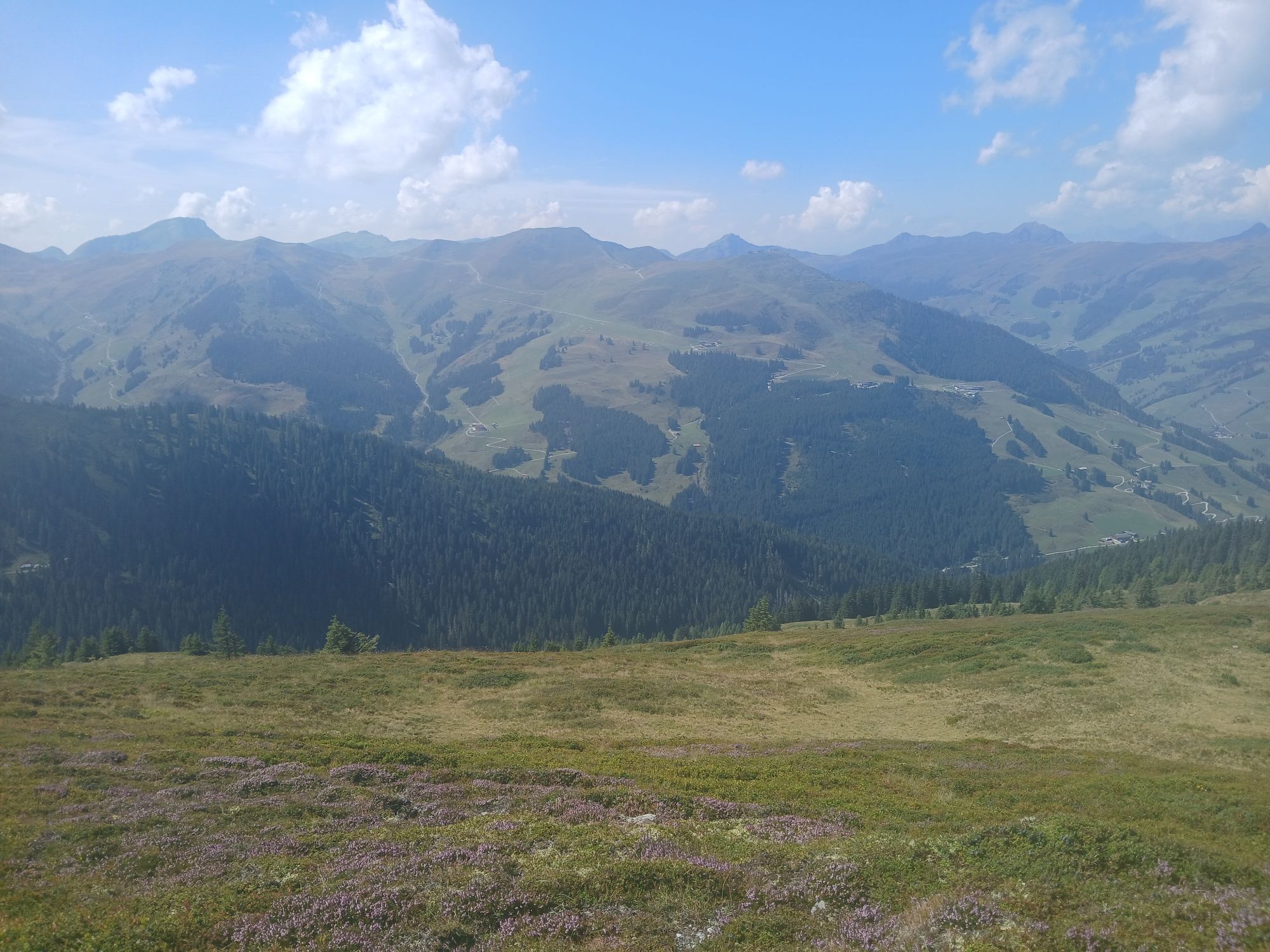
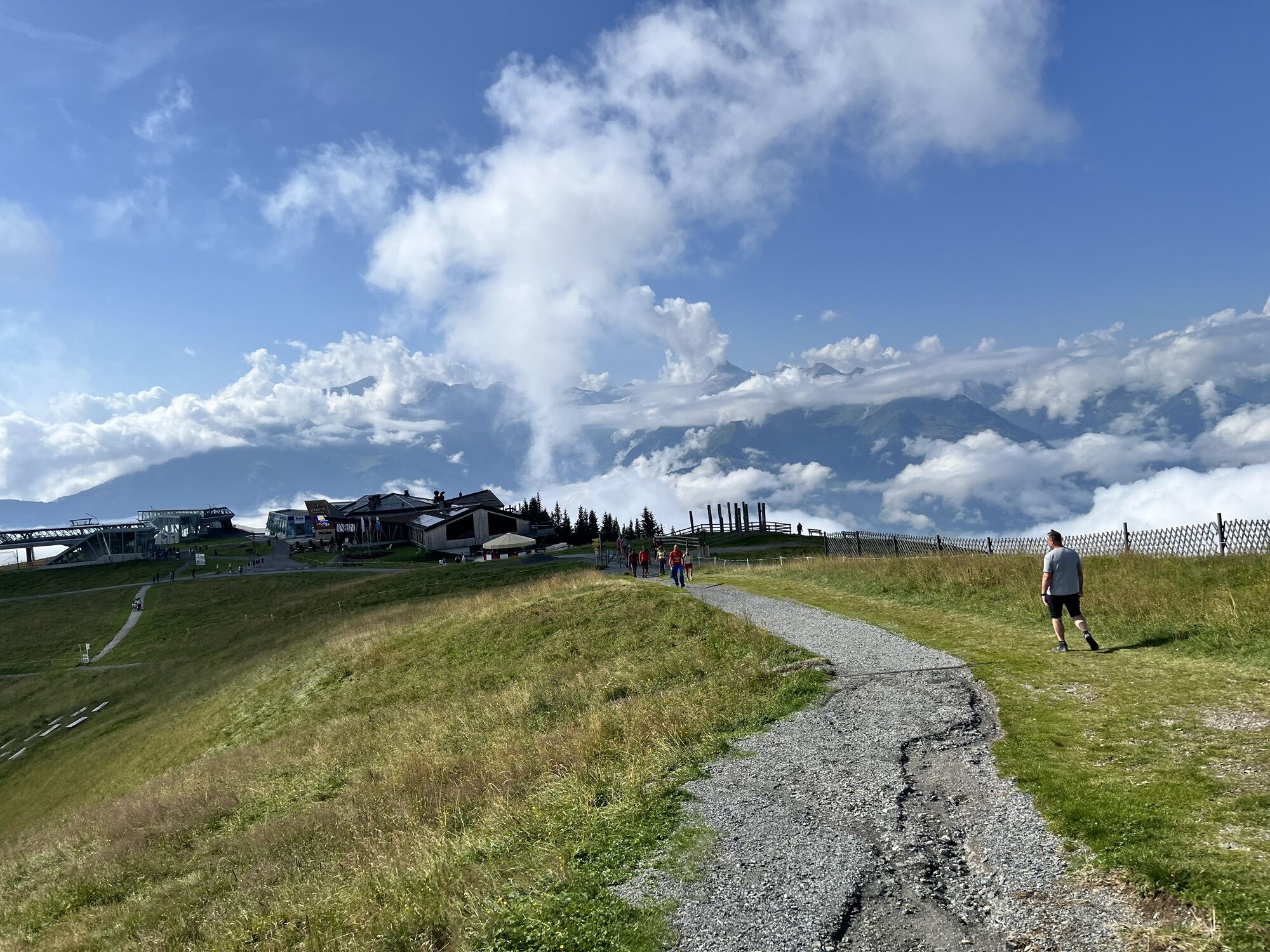
Ride up on the Schmittenhöhe cable car. Afterwards hike along the "Pinzgau Walk" to Saalbach. Ride down on the Schattberg X-Press. Back by bus to the original starting point.
Kamery internetowe z trasy
-
Schmittenhöhe
-
Schattberg - West
-
Schattberg Westgipfel
-
Hinterglemm Dorf
-
Kohlmais Tal
-
Zell am See / Hotel Berner
-
Hinterglemm - Saalbach
-
Saalbach-Hinterglemm - Schattberg Ost
-
Saalbach-Hinterglemm - Zwölferkogel
-
Saalbach - Hotel Alpinresort
-
Zwölferkogel
-
zellamseeXpress
-
Martenhof
-
Wohlfühlhotel-Johanneshof
-
Eberharthof - Saalbach-Hinterglemm

Popularne wycieczki w okolicy
-
4,3
Schwalbenwand Nr. 80, 81, 82
średniWędrówka 13,0 km -
4,8
Sigmund Thun Klamm, Klammsee, Bürgkogel
światłoWędrówka 4,56 km -
4,0
Maurerkogel (Top)
Wędrówka 10,5 km -
4,9
Hochsonnberg Runde
średniMountainbike 59,8 km -
4,5
Thumersbach, Runde um den Zeller See
światłoWędrówka 13,3 km -
4,4
Sigmund Thun Klamm
światłoWędrówka 3,10 km -
4,0
Berg der Sinne
światłoWędrówka 4,39 km -
5,0
Panorama route 3 peaks and 2 lakes
średniWędrówka 7,21 km -
5,0
Leo’s play hiking trail
światłoTrasa tematyczna 4,89 km -
4,2
Saalachtaler Höhenweg EAST (Asitz - Biberg)
średniWędrówka 13,1 km
Wędrówki i tropienie


Nie przegap ofert i inspiracji na następne wakacje
Twój adres e-mail została dodana do listy mailingowej.