







The Steinalm in Saalfelden
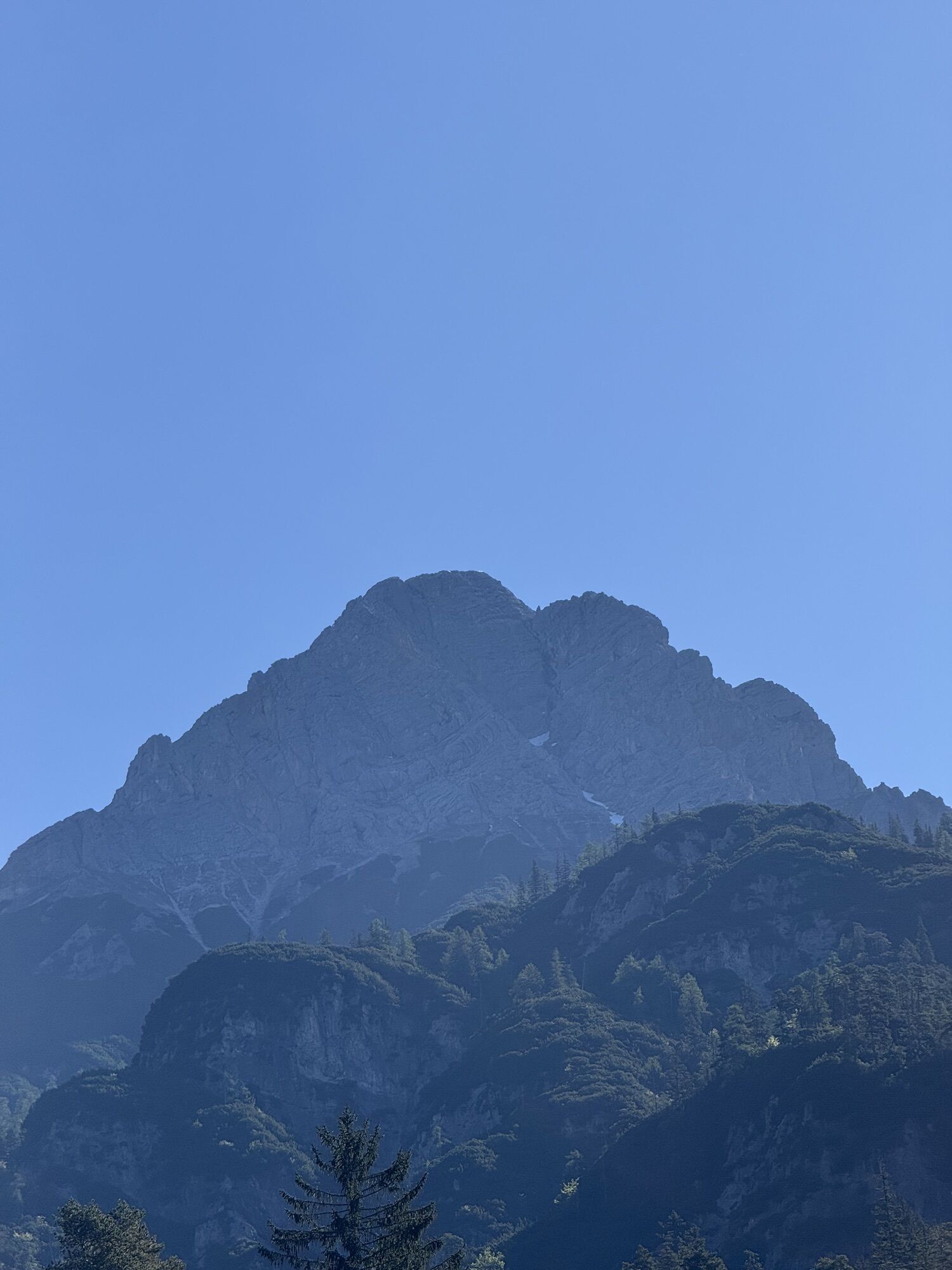
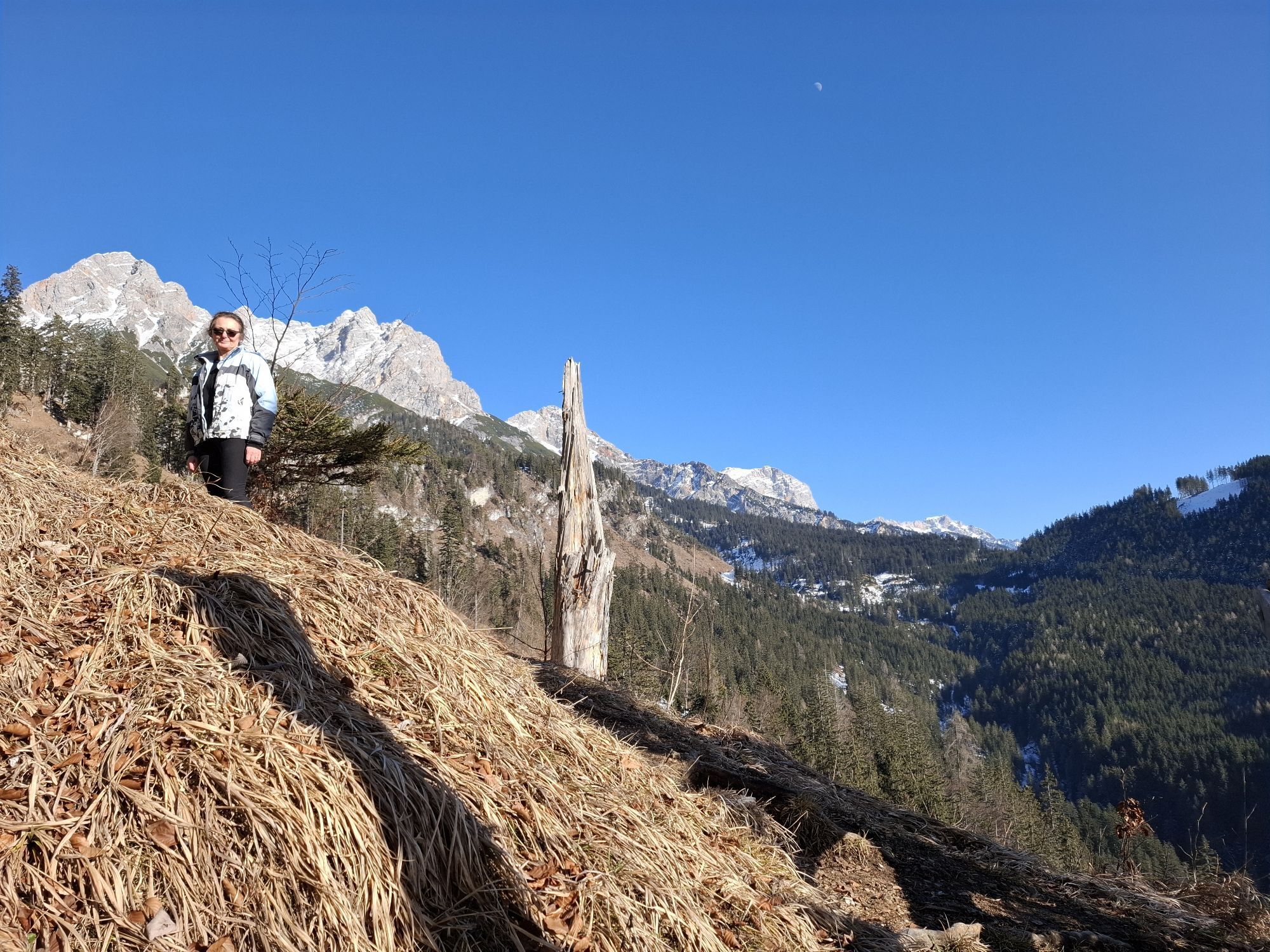

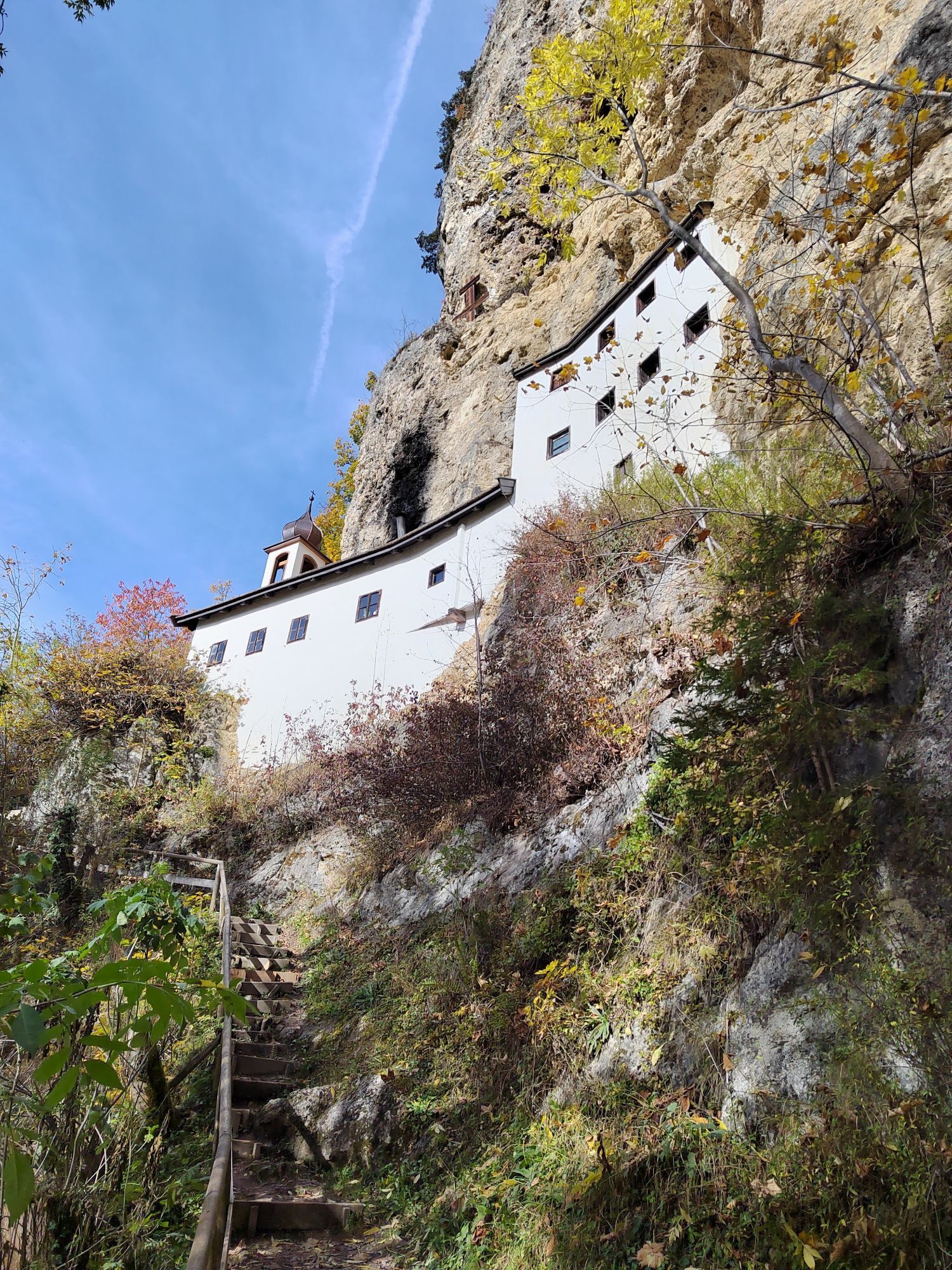
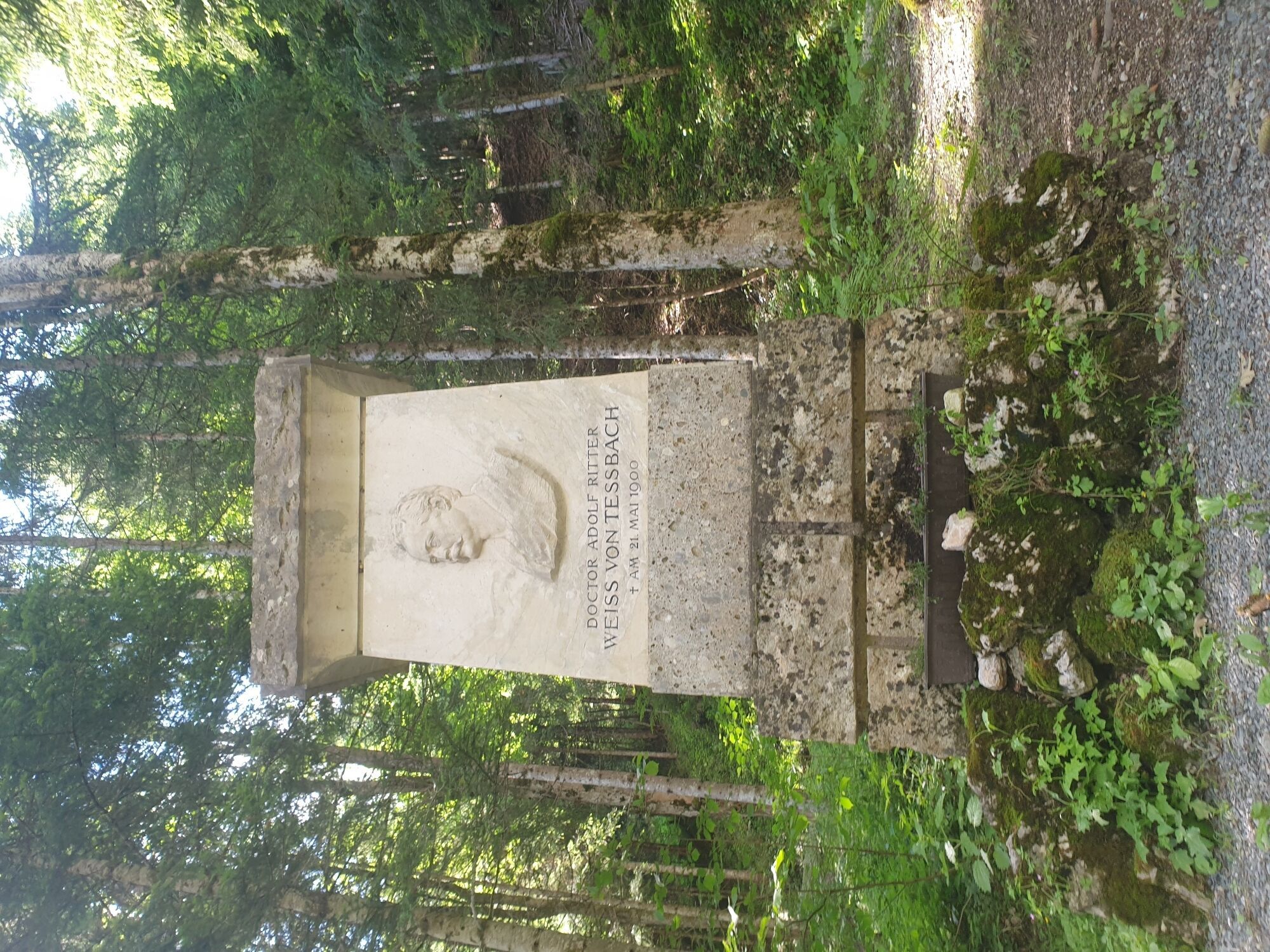
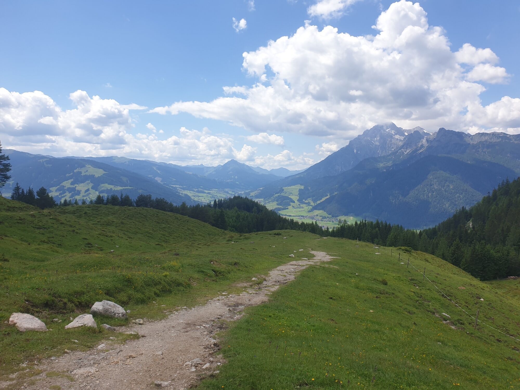
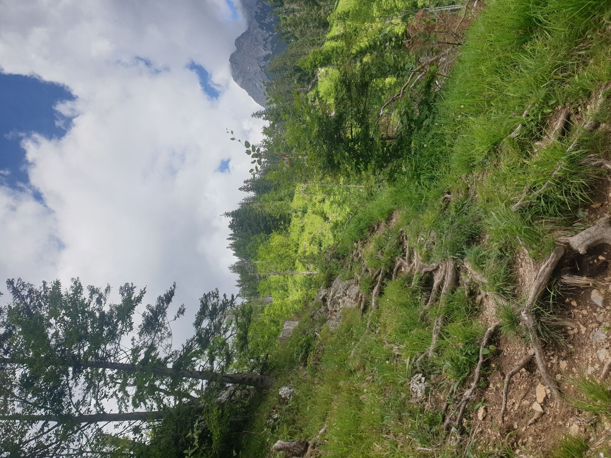
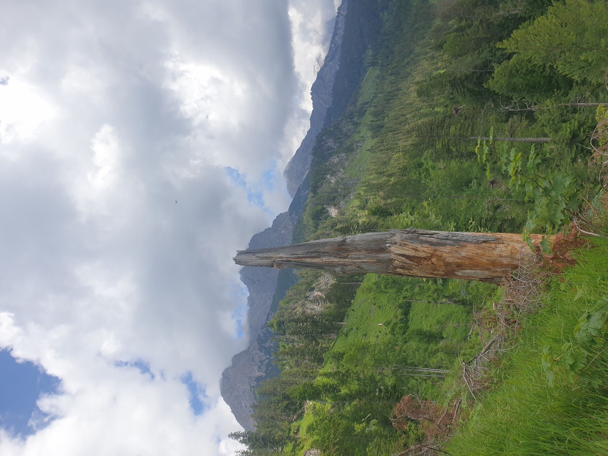
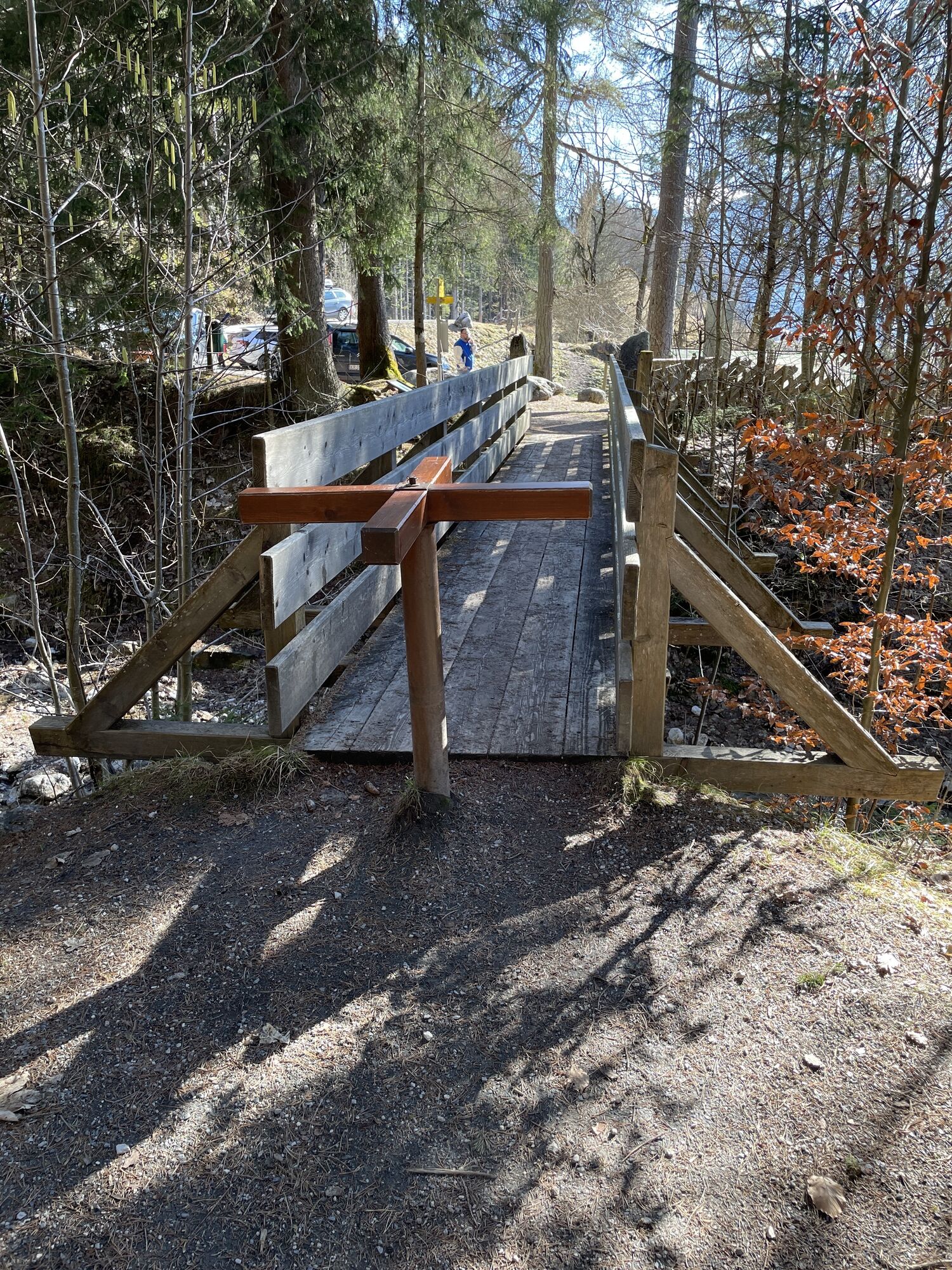
The district of Bachwinkl in Saalfelden is a popular starting point for the approach to the Wiechenthaler Hut with the option for challenging high alpine tours into the Steinernes Meer, but also for leisure...
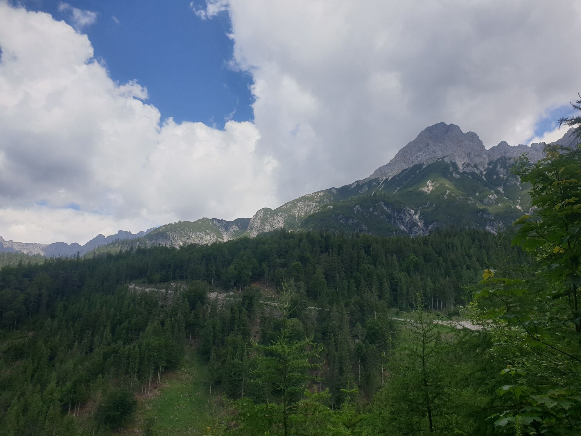
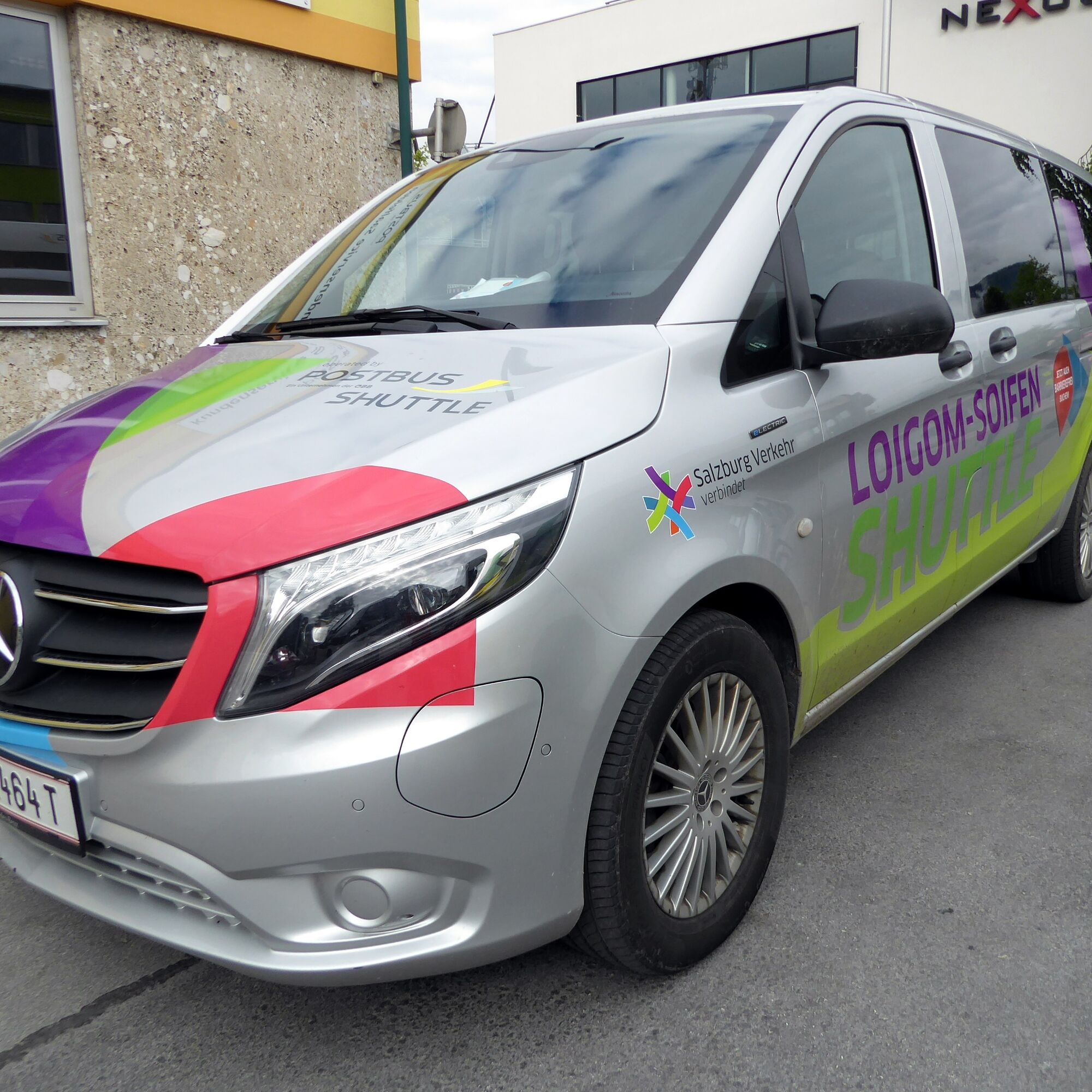
The district of Bachwinkl in Saalfelden is a popular starting point for the approach to the Wiechenthaler Hut with the option for challenging high alpine tours into the Steinernes Meer, but also for leisure tours in the Steinalm area or to the hermitage at Palfen. The paid parking lot is therefore usually busy. Fortunately, for recreational athletes and also for residents, there is the environmentally friendly Loigom-Soifen Shuttle, which also enables several options. The circular hike to the Steinalm (1,269 m) can be tailored completely to needs, suitable for families or somewhat more demanding. There is plenty of time to marvel and enjoy at the sunny foot of the Steinernes Meer in any case.

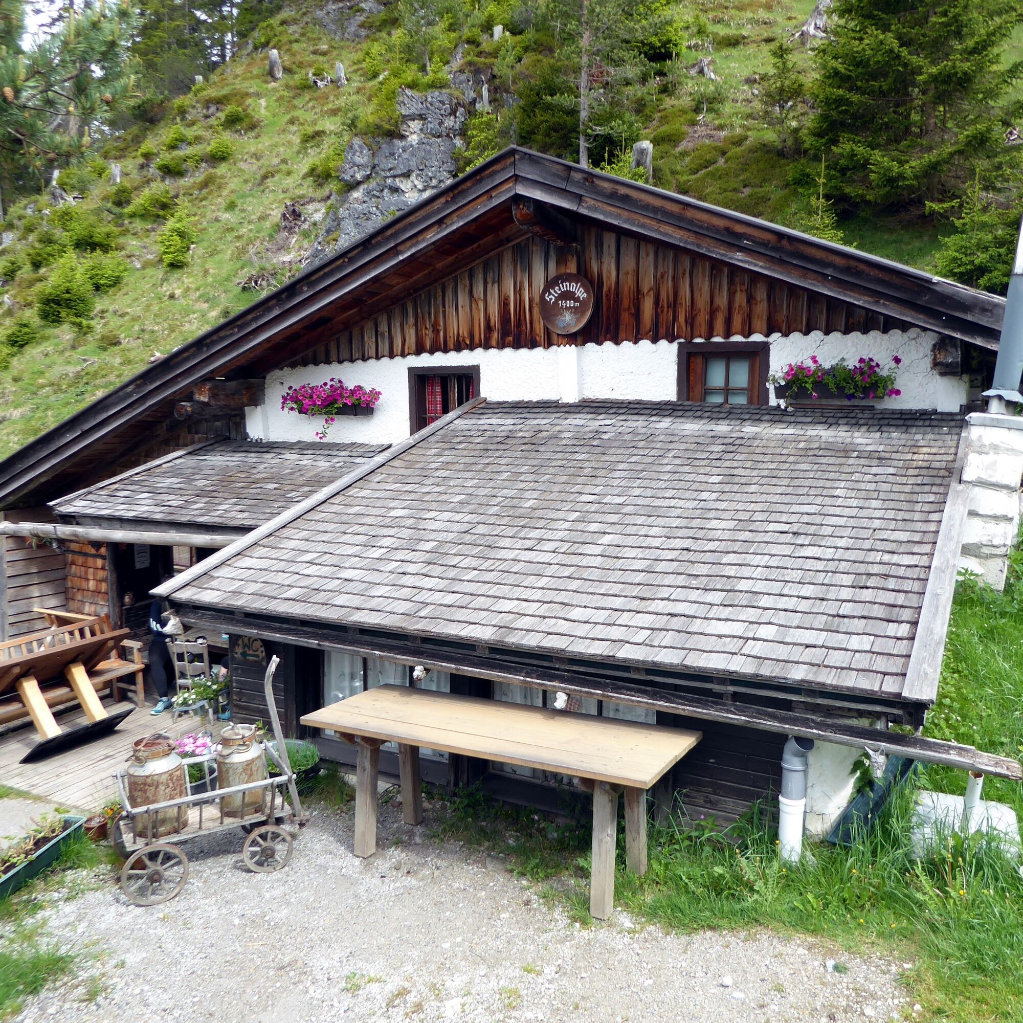
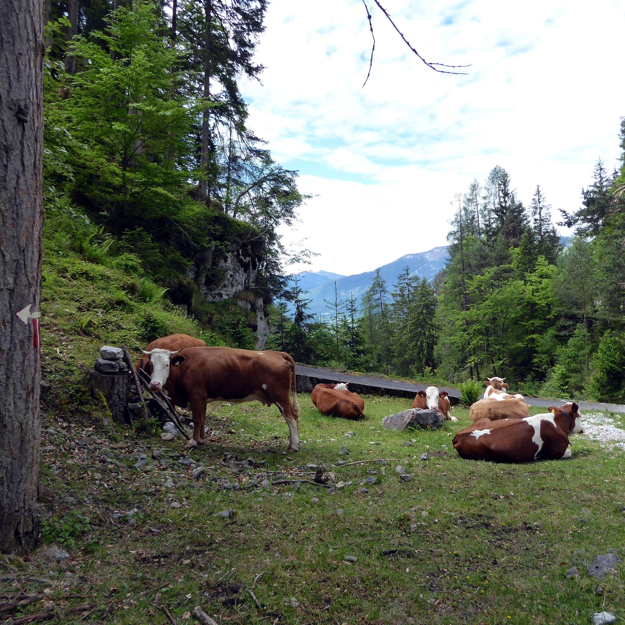
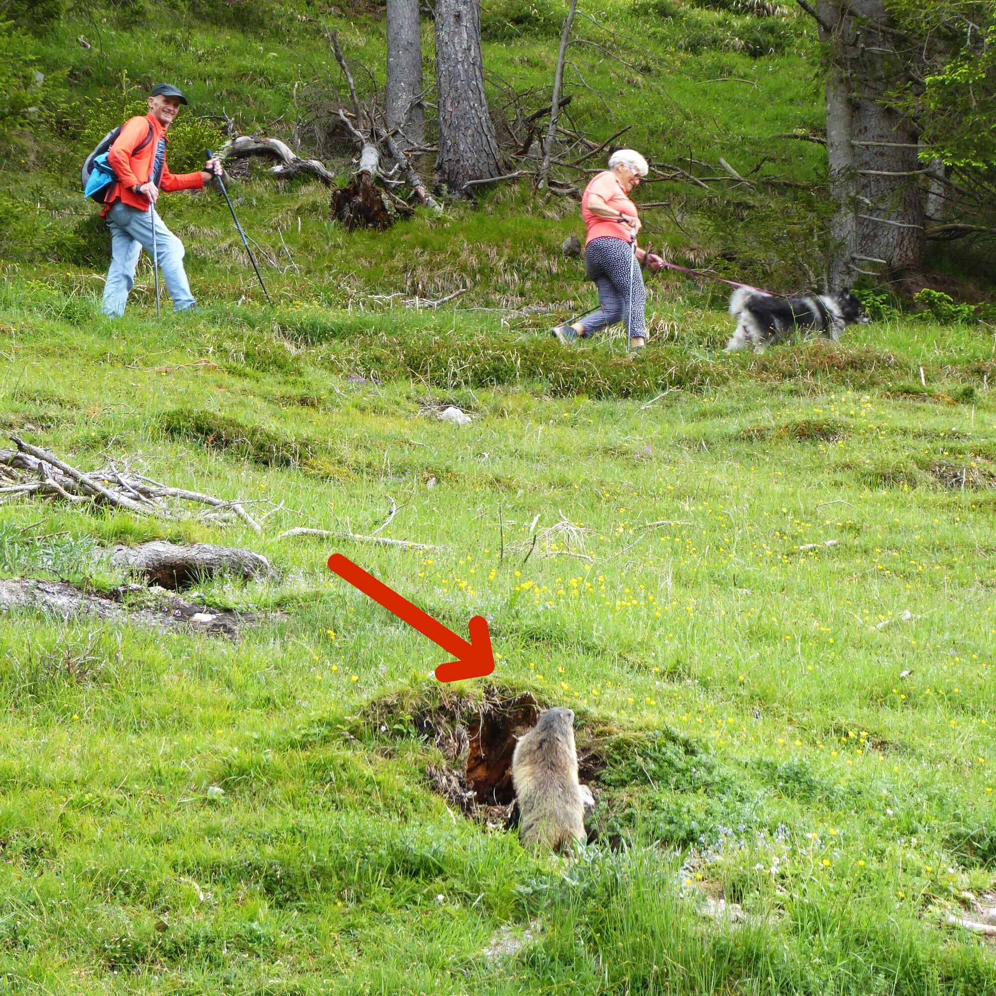
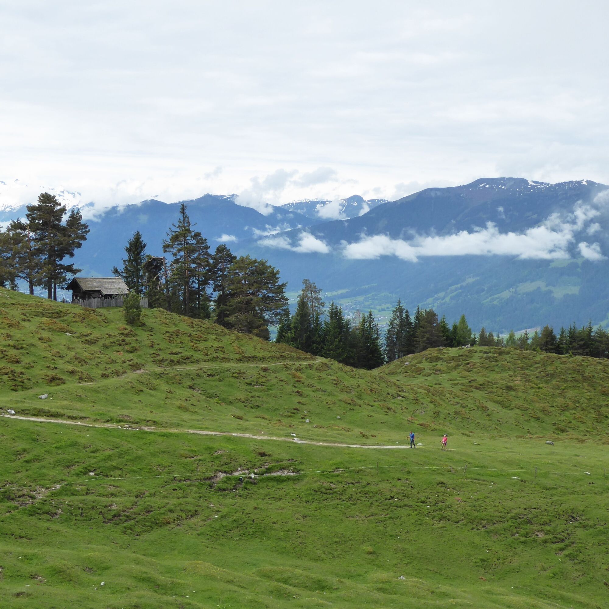
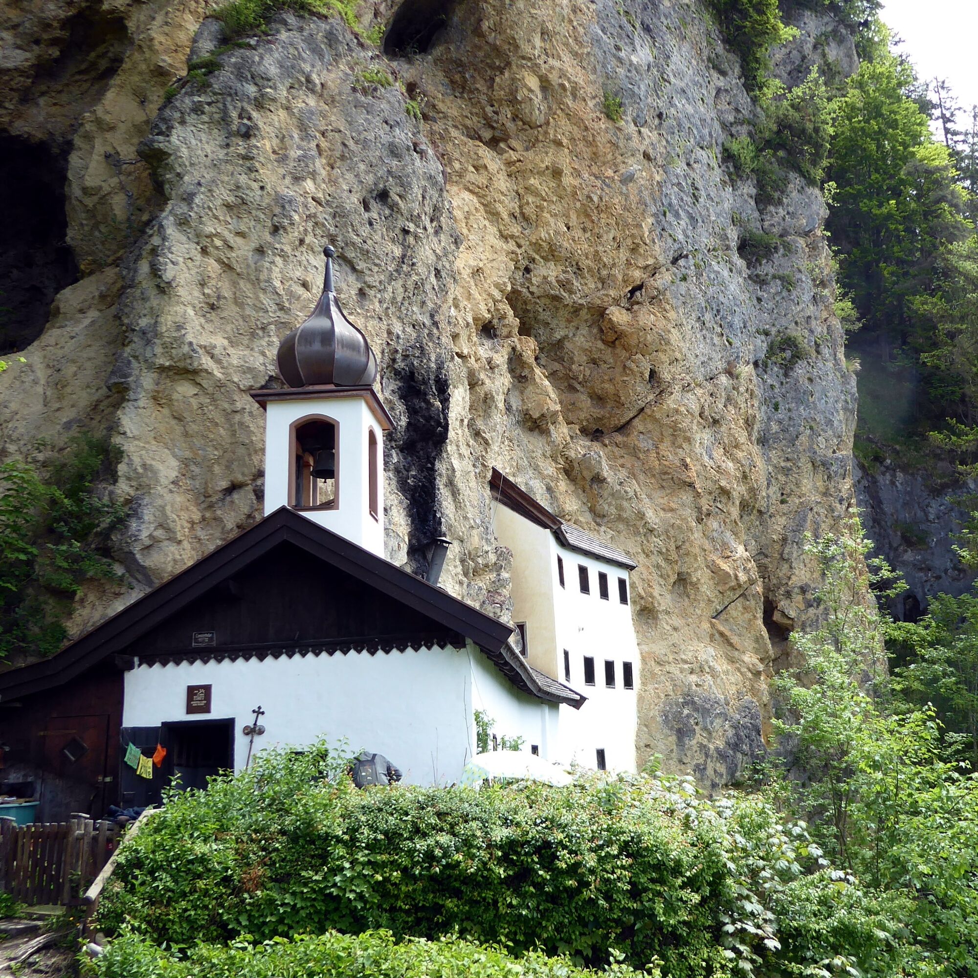
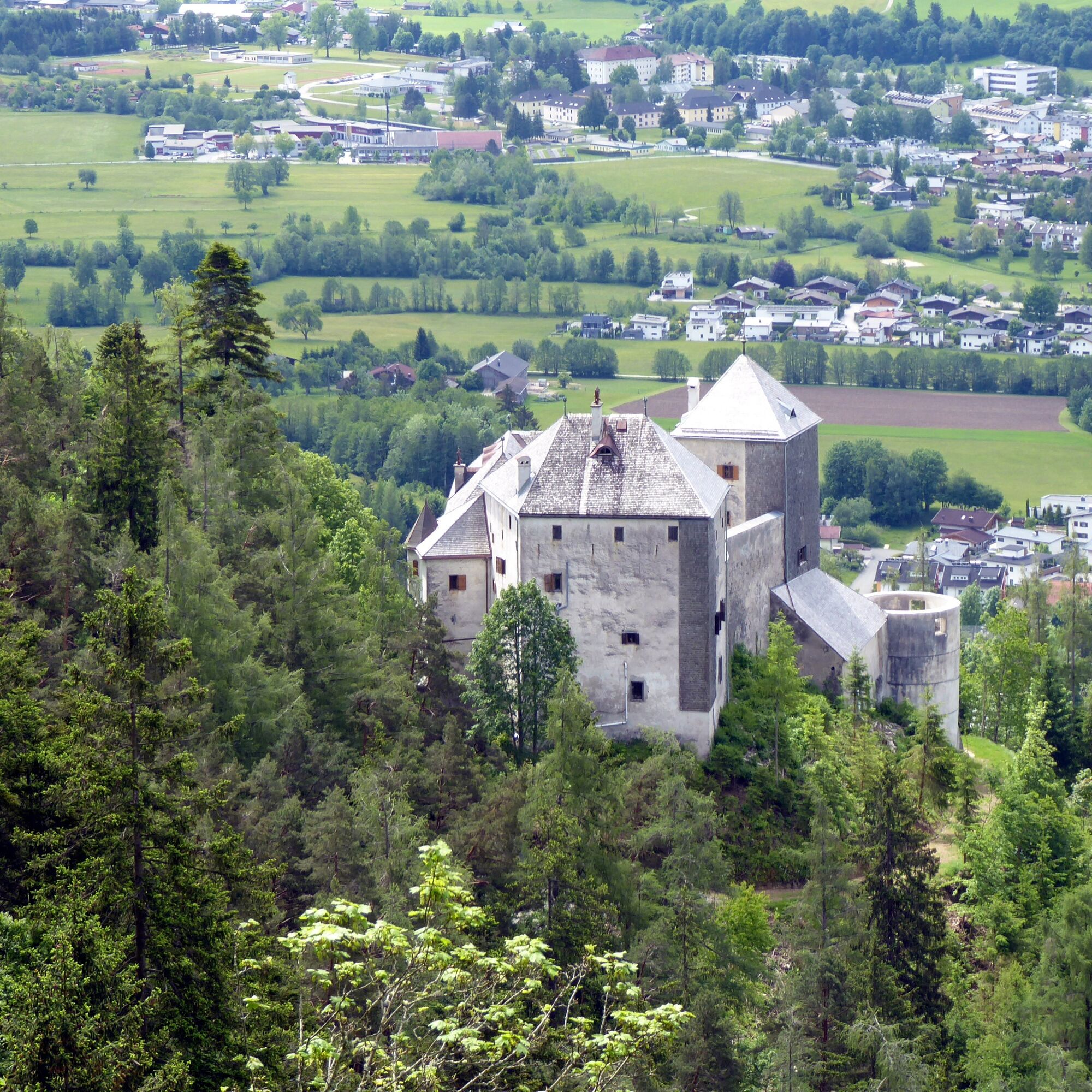
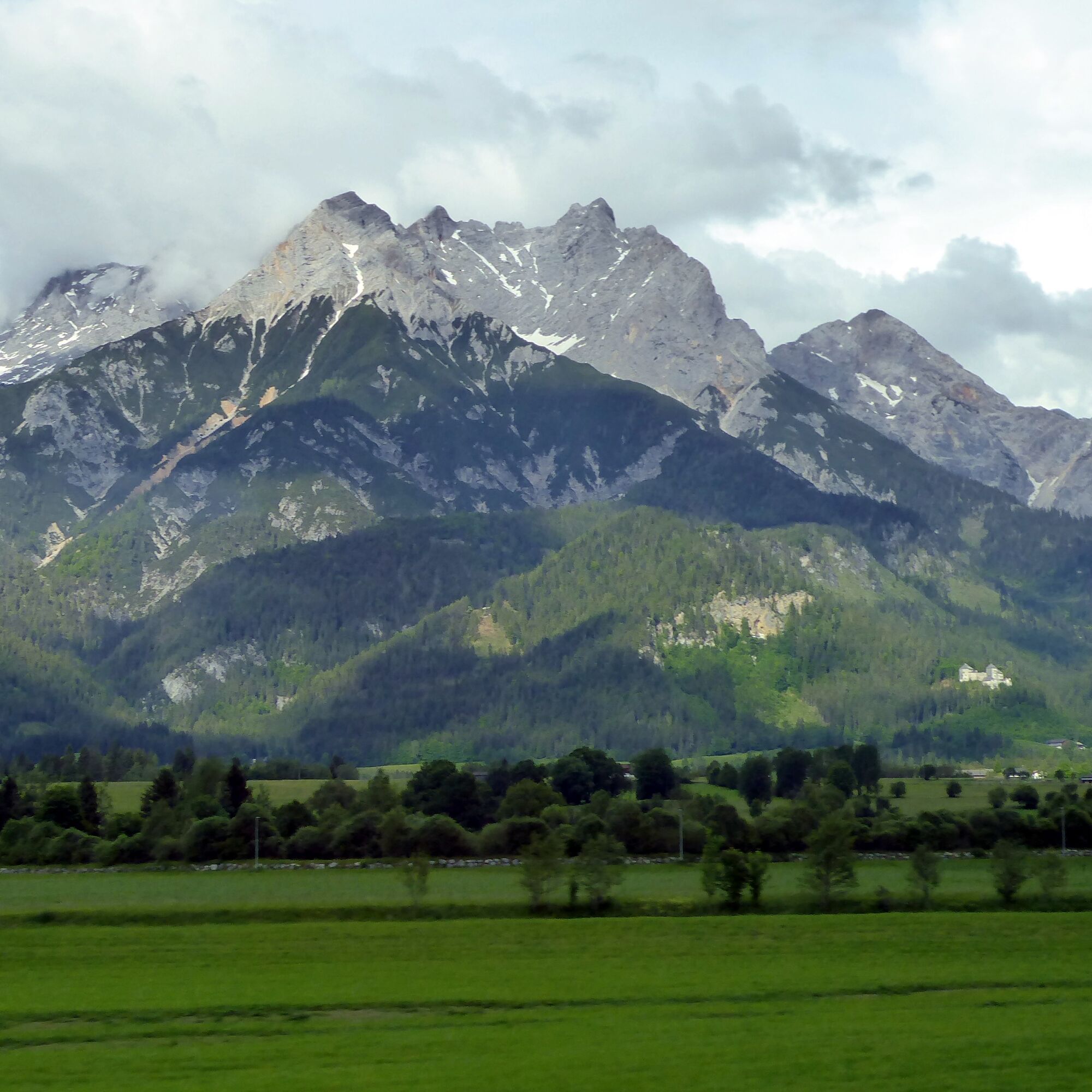

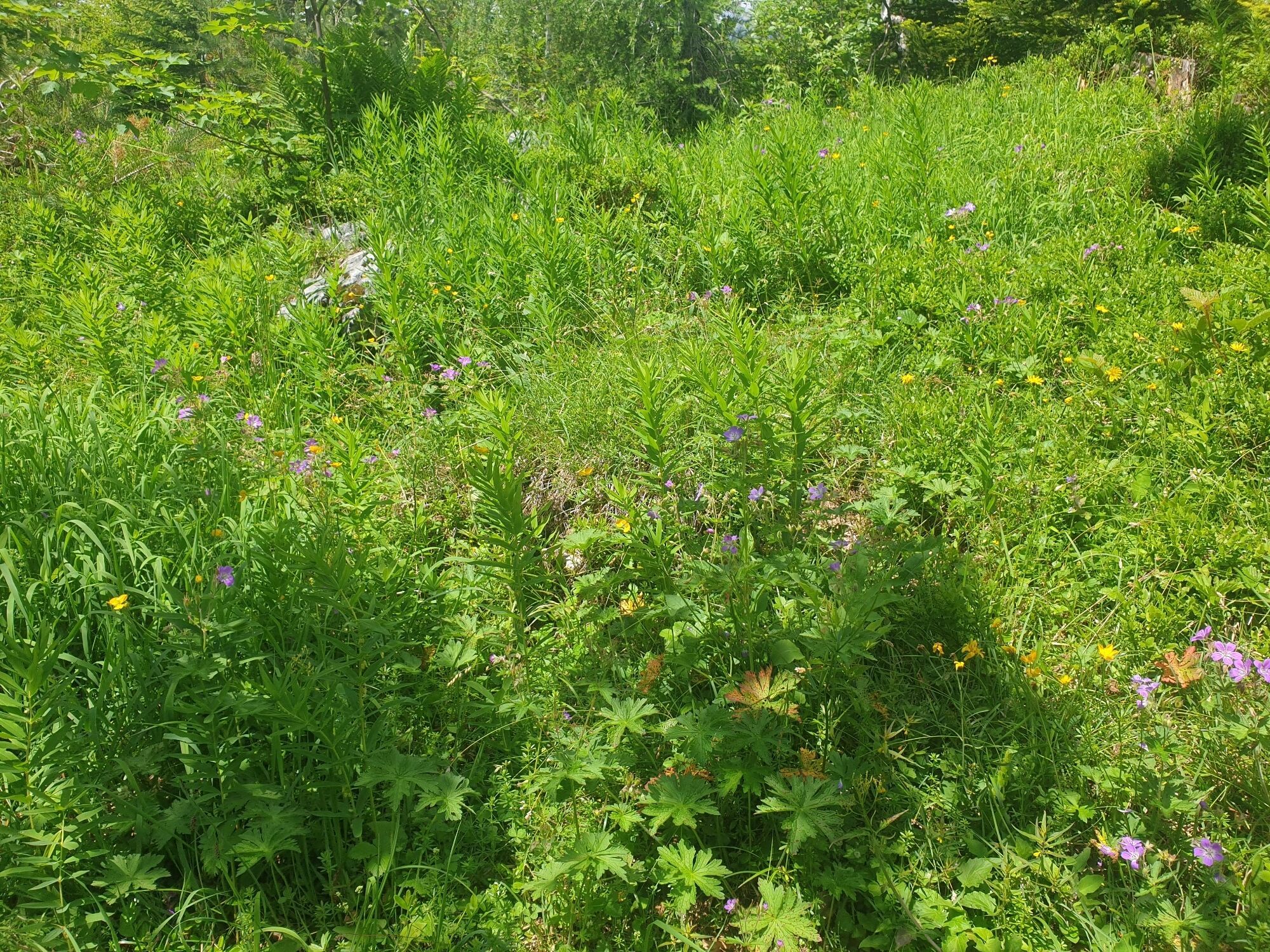
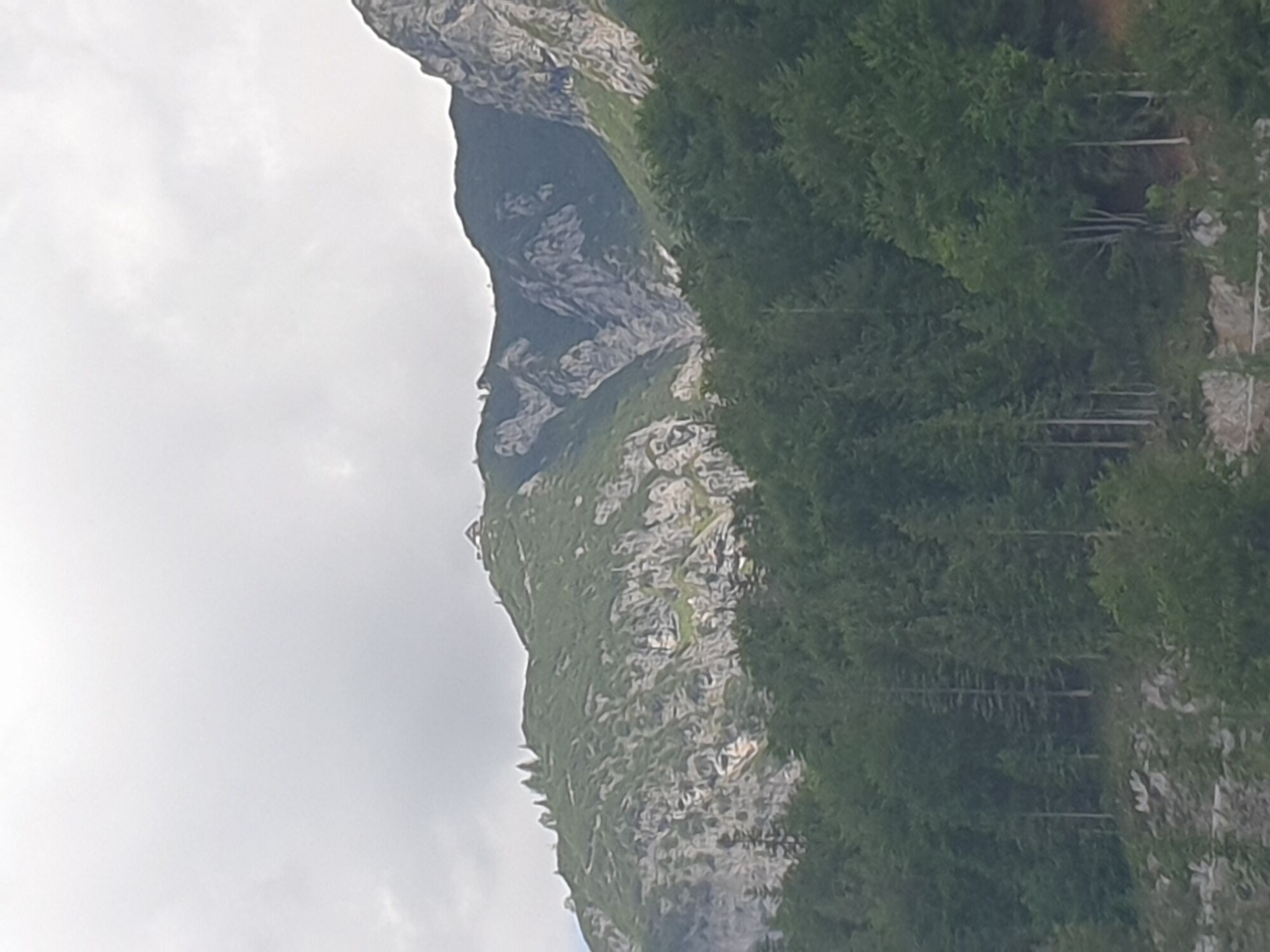
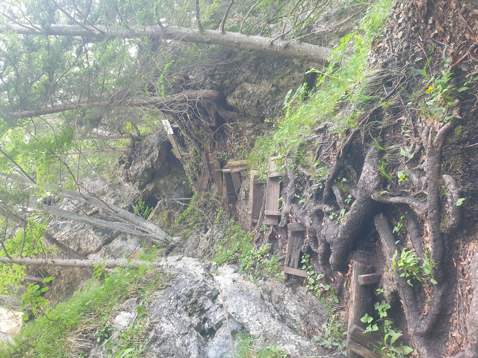
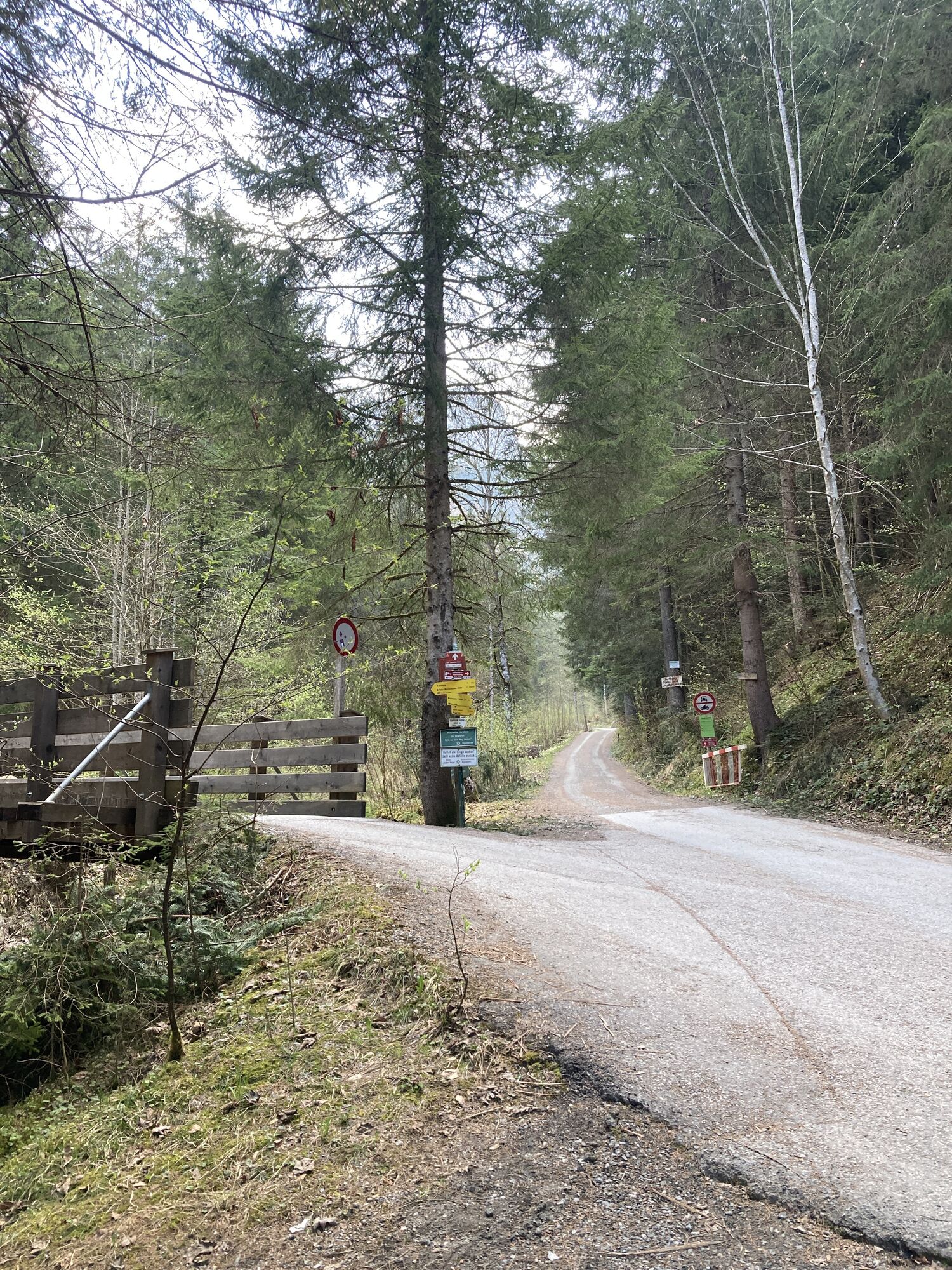
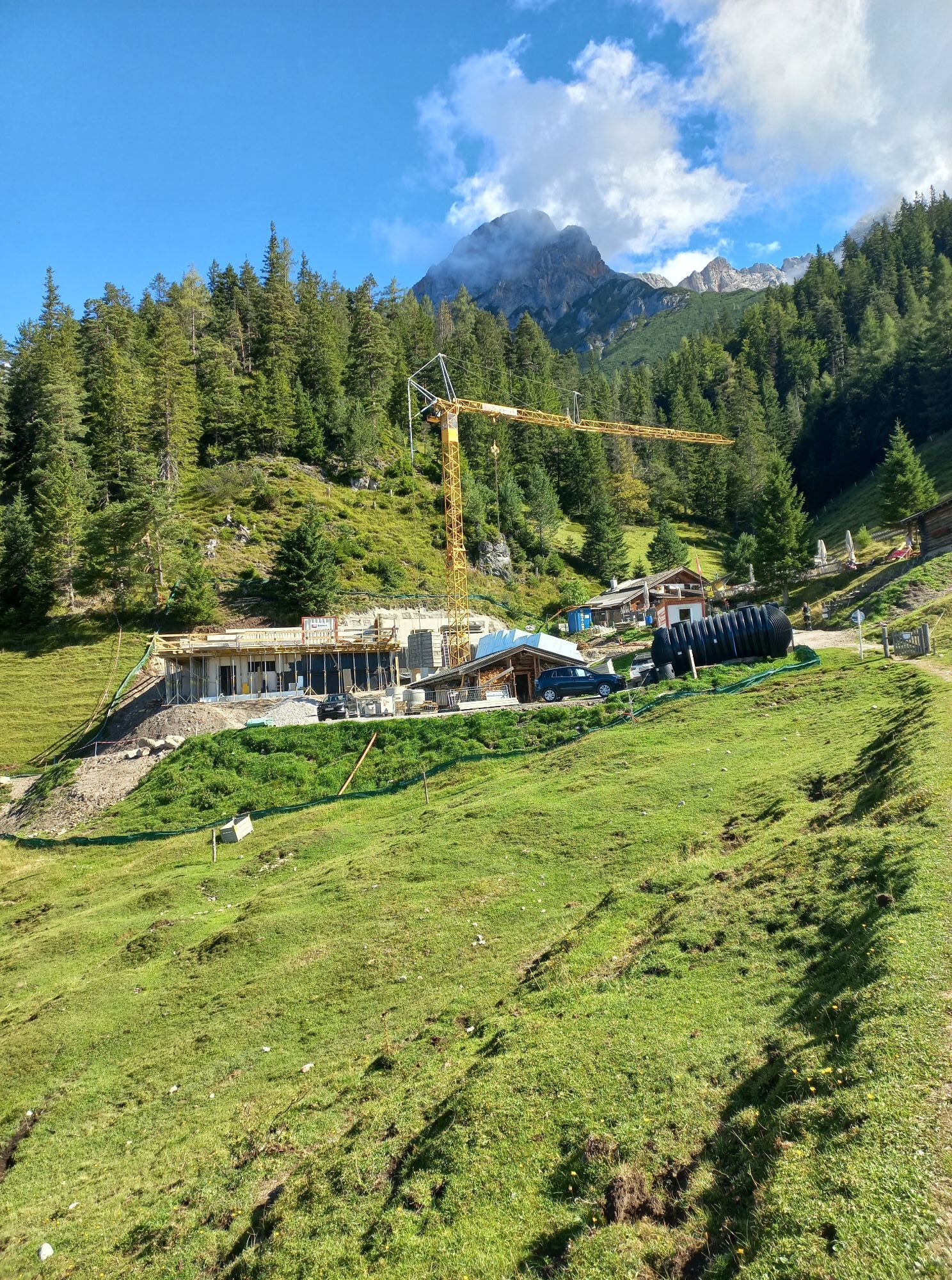
From the Hubertus stop, the path leads a few meters straight ahead through the Bachwinkl settlement and the first yellow signs already point to the various possibilities. The path to the Steinalm initially follows the direction of the Wiechenthaler Hut, at the next fork the bike-friendly ascent variant "Steinalm" branches off to the right onto the wide alpine access road. Much more exciting is the approach that still briefly follows a small ditch inward towards the Wiechenthaler Hut (path 412) and only then continues as route 412 h on the right through the steep mixed forest in 1 1/4 hours to the managed Steinalm. Around the rustic hut there is plenty of space for playing, snacking, and observing marmots. The gentle hill located a few minutes east proves to be a nice summit substitute. The descent options range from the comfortable, new alpine access road Lärchbachweg (1 hour), to the very demanding, partly cable-secured Fuchssteig via the hermitage (1 1/2 hours, path 412 g). An alternative route (2 hours) branches off to the left before the Fuchssteig, then leads less steeply past Kühloch into the Bürgerau and returns on the right via path 20 with a short ascent back to the Bachwinkl district to the Hubertus stop.
Tak
Tak
By train or bus to Saalfelden. By bus 61 (Mon-Fri) from Saalfelden Am Postplatz to Saalfelden Hubertus or the Loigom-Soifen Shuttle.
Timetable information and download: Online at www.salzburg-verkehr.at or on your smartphone via the free Salzburg Verkehr app for Android and iOS.
Opening hours Steinalm:
Mag. Christian Heugl
5400 Hallein
christian.heugl@gmail.com
Image credit: Christian Heugl
Visit to the Museum Schloss Ritzen in Saalfelden: www.museum-saalfelden.at

Kamery internetowe z trasy
Uzyskaj wgląd
Zawsze na żywo z ponad 9 500 kamer internetowych. bergfex Jako użytkownik Pro, możesz teraz zobaczyć odpowiednie kamery internetowe dla wielu wycieczek w aplikacji wycieczki od. Pozwala to na bezpośredni podgląd aktualnych warunków.
Aktywności na trasie
-

Saalfelden am Steinernen Meer, Salzburg/Österreich
16.07.2026 – Wędrówka -

Saalfelden am Steinernen Meer, Salzburg/Österreich
16.07.2026 – Wycieczki górskie -

Saalfelden am Steinernen Meer, Salzburg/Österreich
11.07.2026 – Wędrówka -

Saalfelden am Steinernen Meer, Salzburg/Österreich
11.07.2026 – Wędrówka -

Saalfelden am Steinernen Meer, Salzburg/Österreich
05.07.2026 – Wędrówka -

Saalfelden am Steinernen Meer, Salzburg/Österreich
04.07.2026 – Wędrówka -

Saalfelden am Steinernen Meer, Salzburg/Österreich
20.06.2026 – Wędrówka -
Saalfelden am Steinernen Meer, Salzburg/Österreich
08.02.2026 – Wędrówka -
Saalfelden am Steinernen Meer, Salzburg/Österreich
22.09.2025 – Wędrówka -
Saalfelden am Steinernen Meer, Salzburg/Österreich
22.09.2025 – Wędrówka -
Saalfelden am Steinernen Meer, Salzburg/Österreich
21.09.2025 – Wędrówka -
Saalfelden am Steinernen Meer, Salzburg/Österreich
21.09.2025 – Wędrówka
Popularne wycieczki w okolicy
-
5,0
Königssee - Kärlinger-Haus
Wędrówka 10,1 km -
4,5
Wimbachgrieshütte
Wędrówka 8,30 km -
4,3
Maria Alm - Riemannhaus
Wędrówka 3,99 km -
4,8
Summit stormer route Lauskopf
ciężkiWędrówka 8,16 km -
4,8
Summit storming route Taghaube
ciężkiWędrówka 6,25 km -
4,6
Steinalm
światłoWędrówka 2,71 km -
4,3
Schwalbenwand Nr. 80, 81, 82
średniWędrówka 13,0 km -
5,0
Watzmann Überschreitung an einem Tag
ciężkiWędrówka 23,9 km -
4,4
Peter-Wiechenthaler Hut
średniWędrówka 4,32 km -
4,9
Breithorn
średniWędrówka 10,0 km
Wędrówki i tropienie


Nie przegap ofert i inspiracji na następne wakacje
Twój adres e-mail została dodana do listy mailingowej.





