







From Strobl to St. Wolfgang

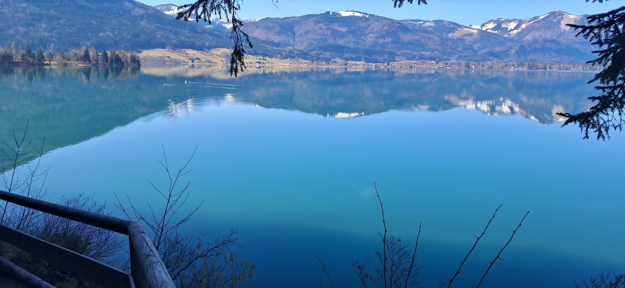
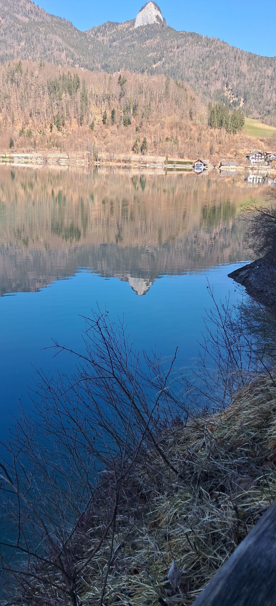
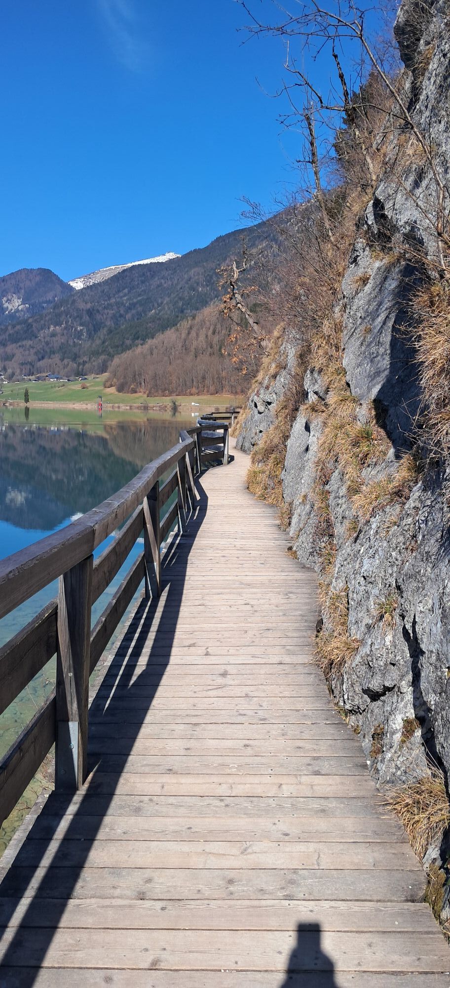
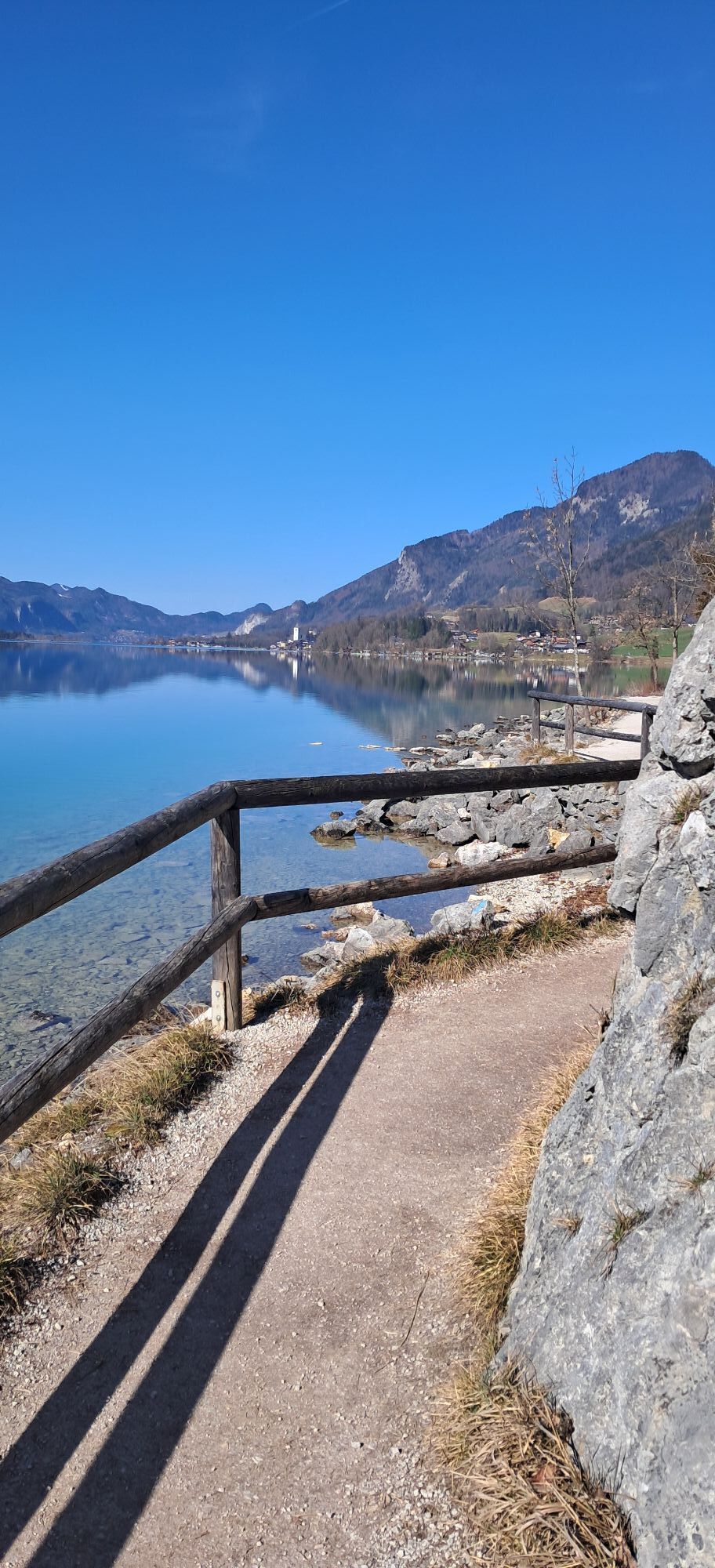
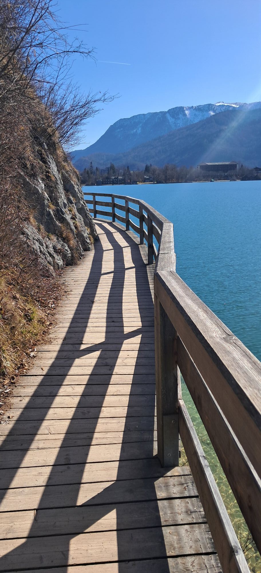
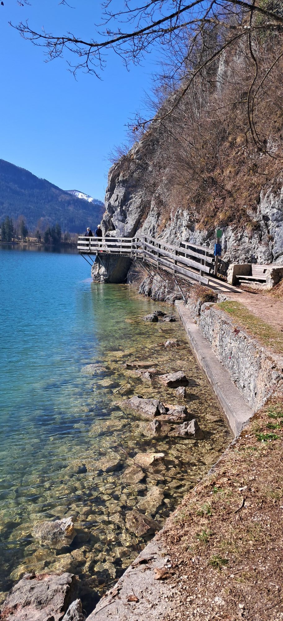
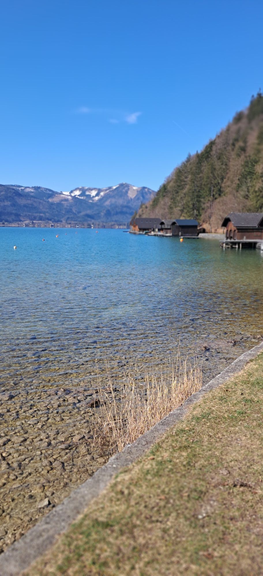

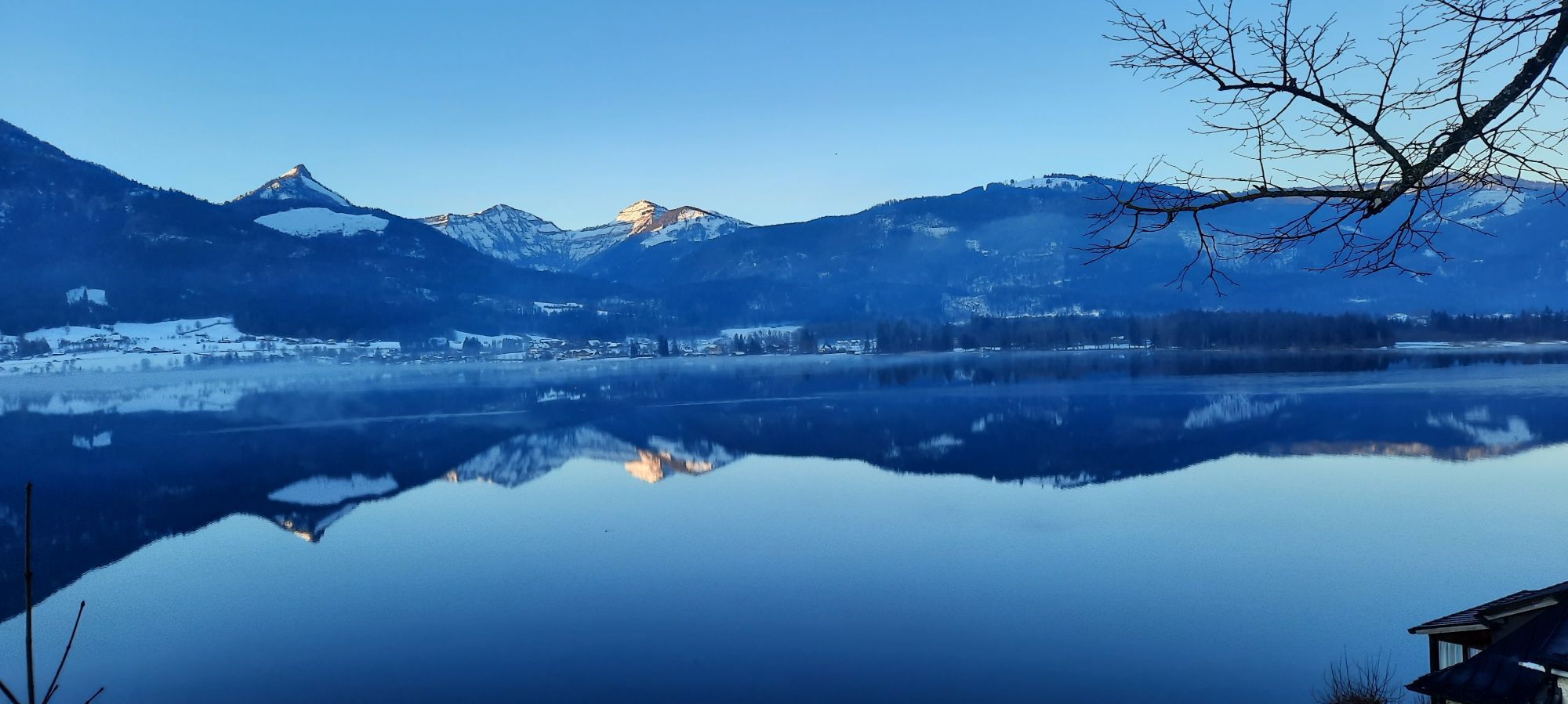

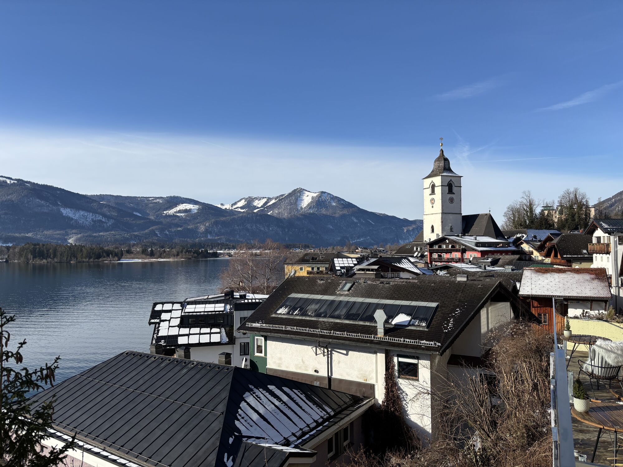
A path of contrasts: In Strobl, it is mostly quite tranquil, while in St. Wolfgang the stream of tourists is somewhat more concentrated. The route itself also offers great differences. While the first...
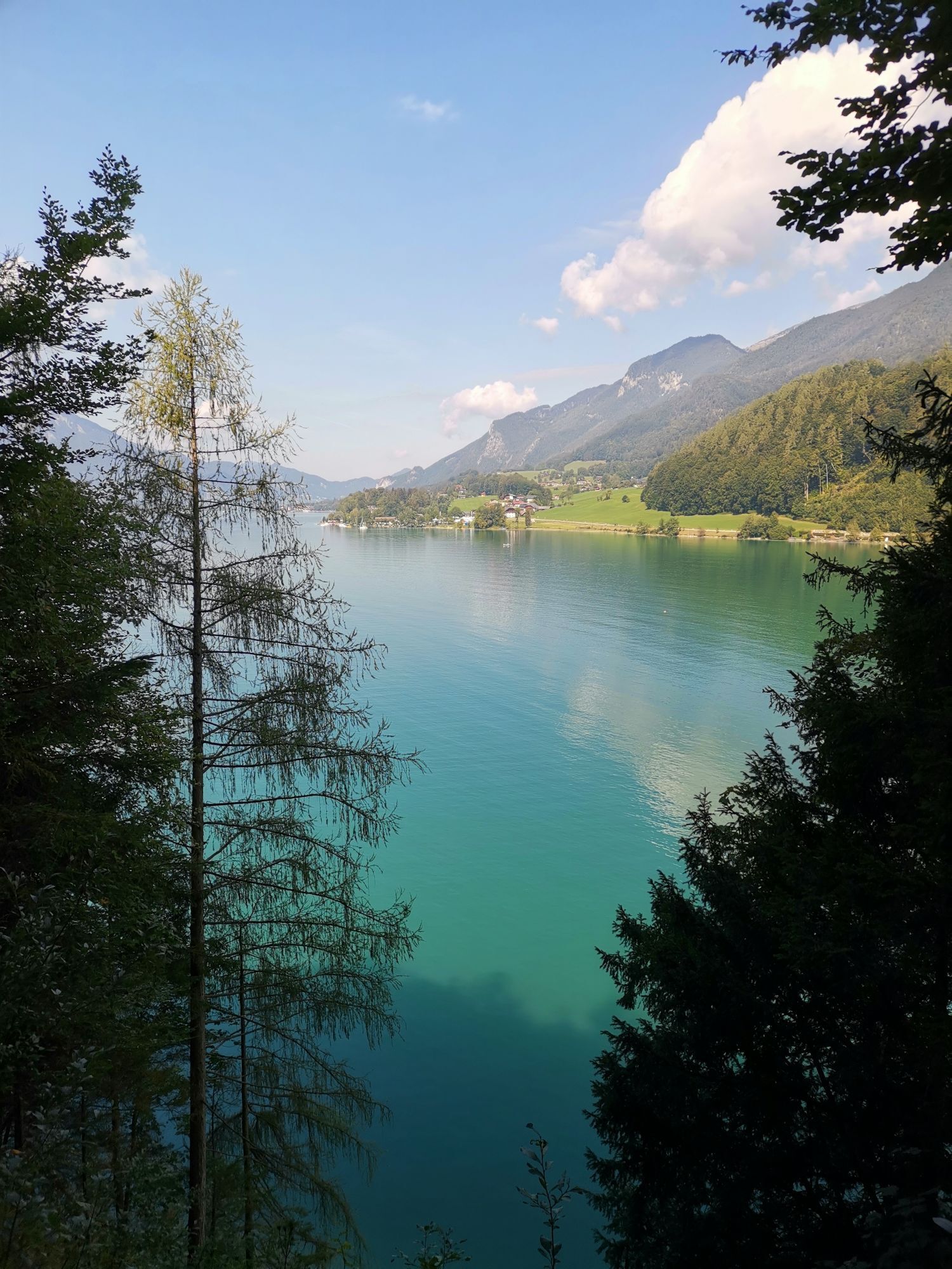
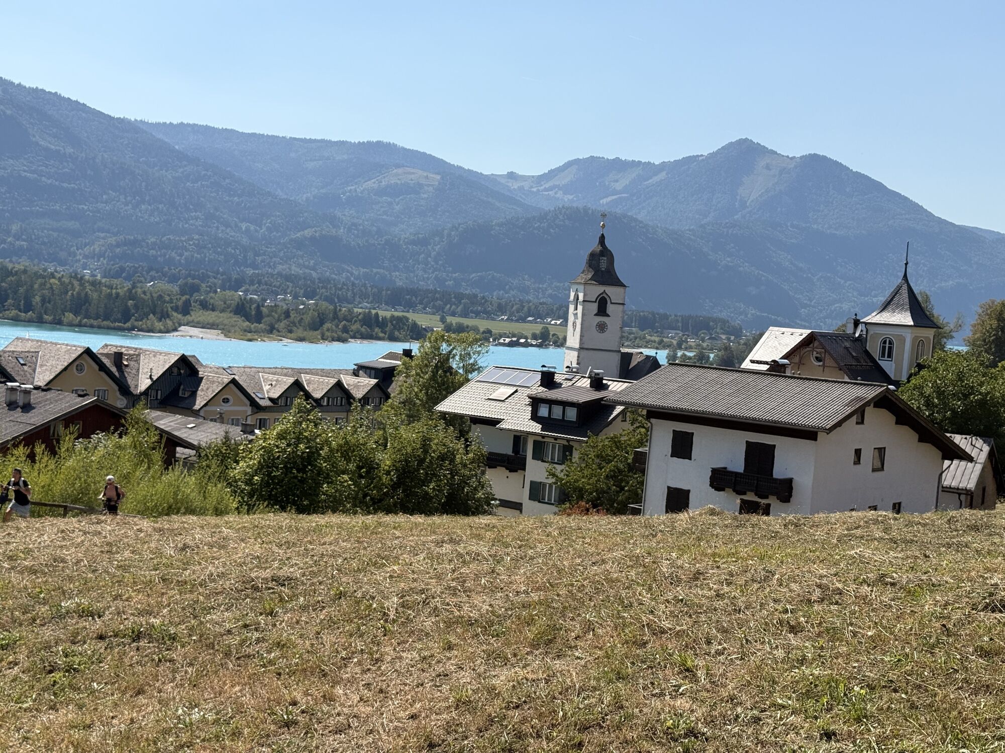
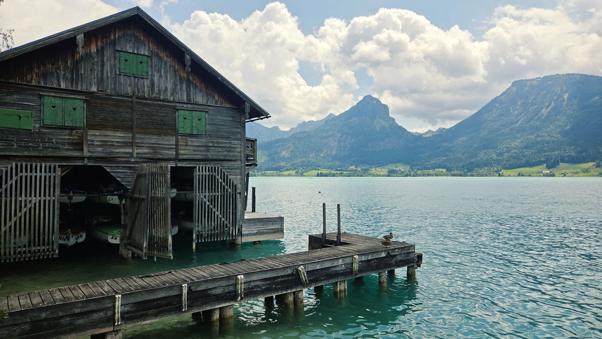
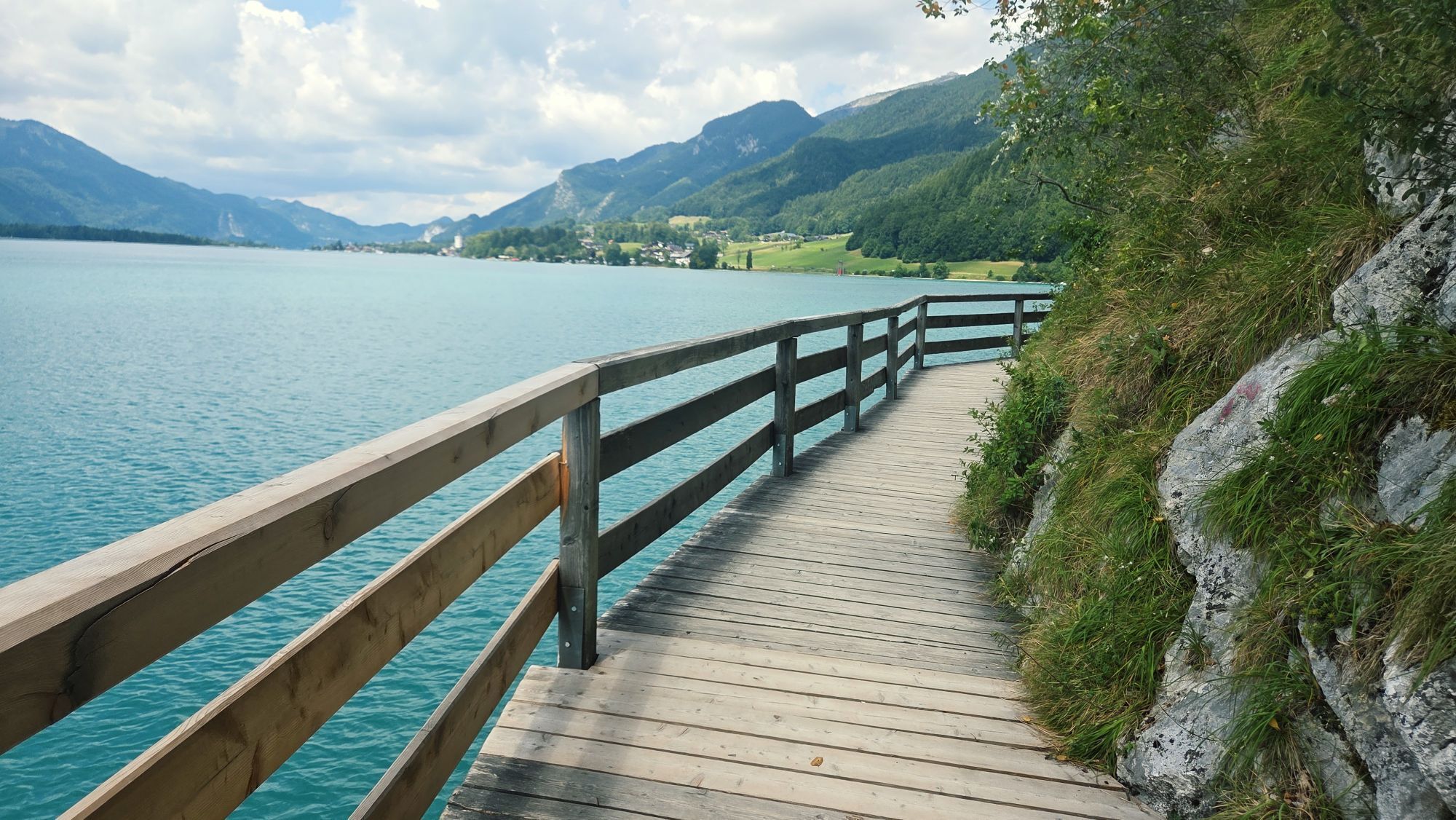
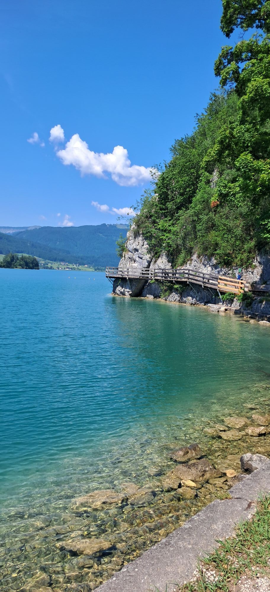
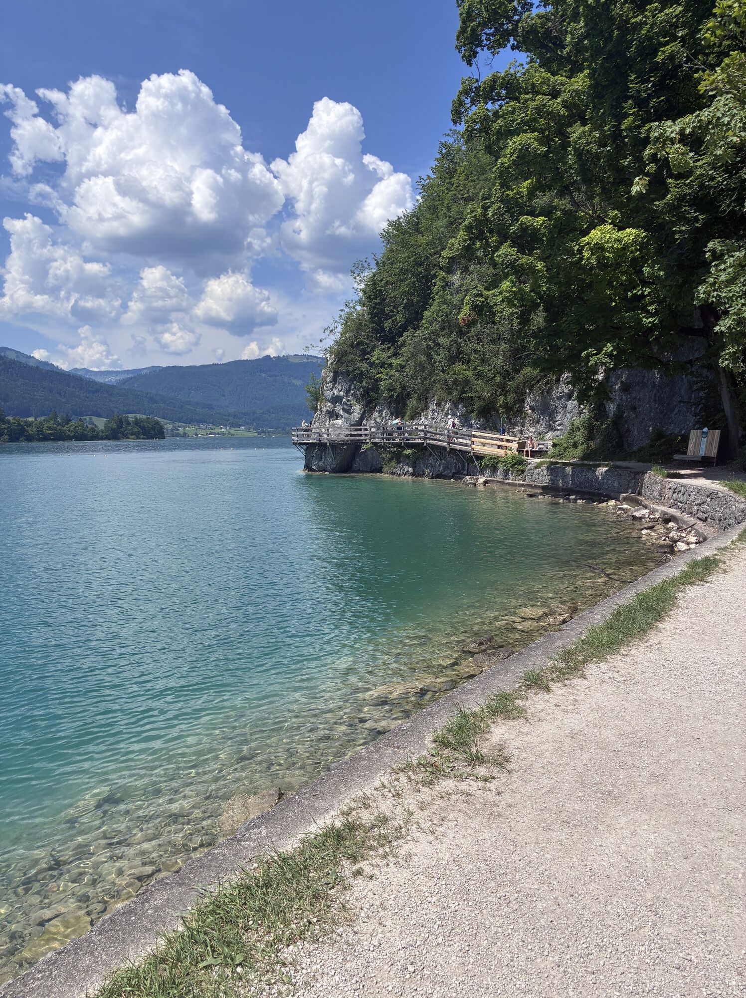
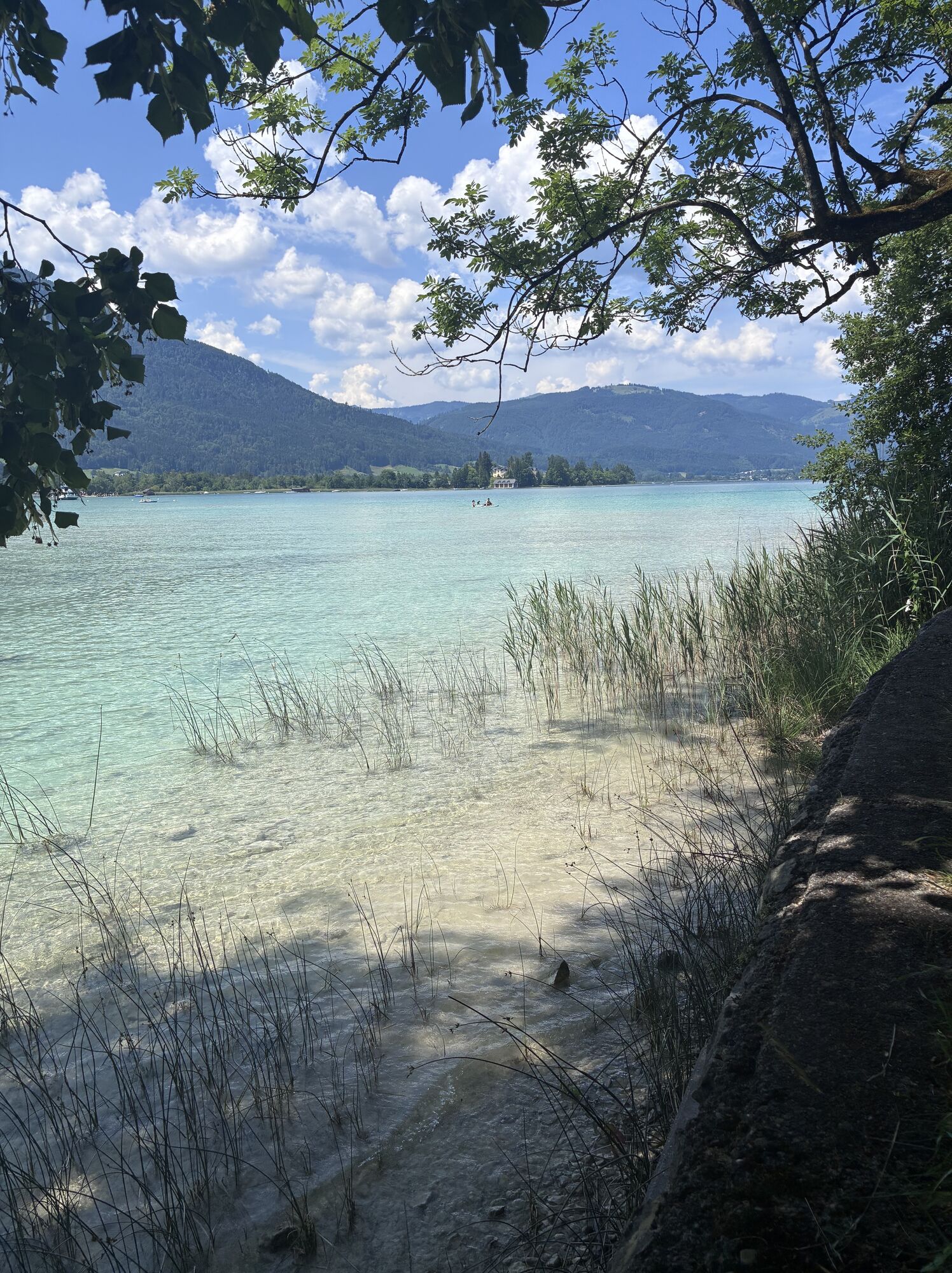
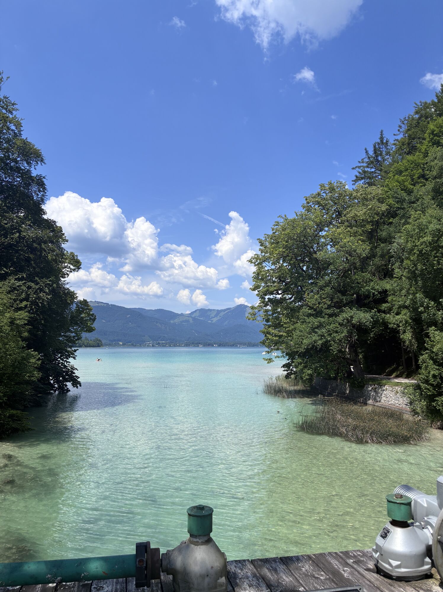
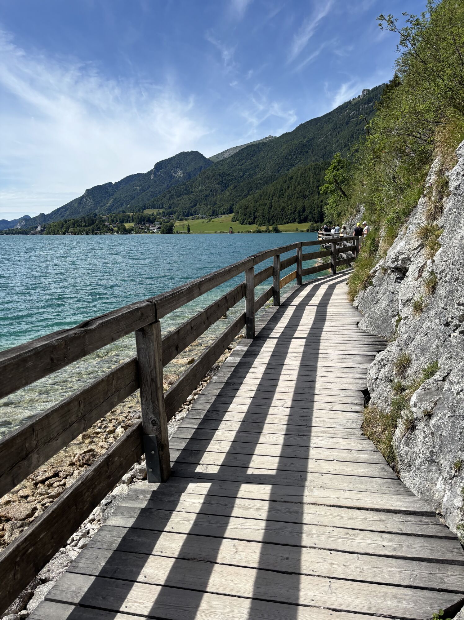
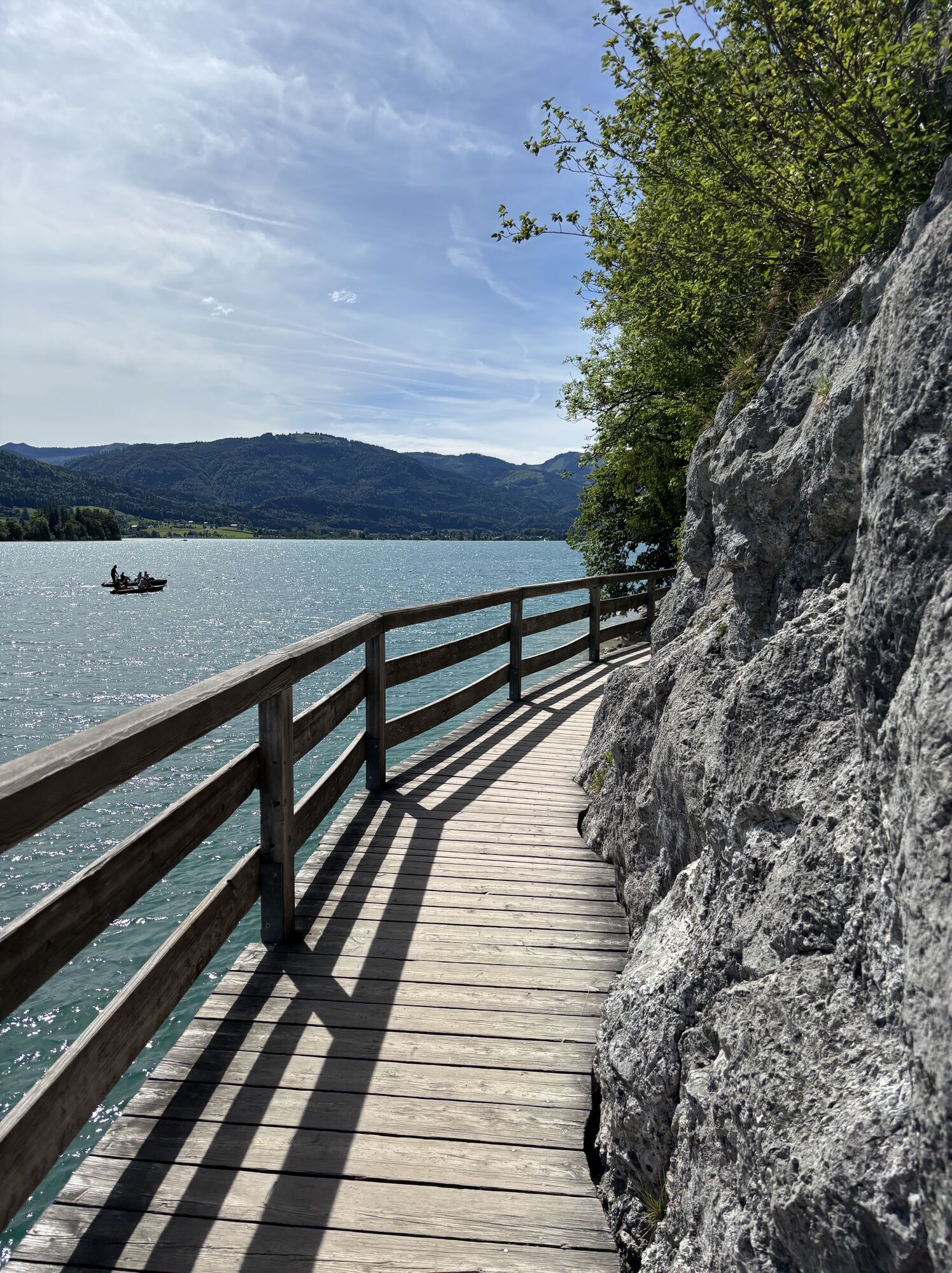
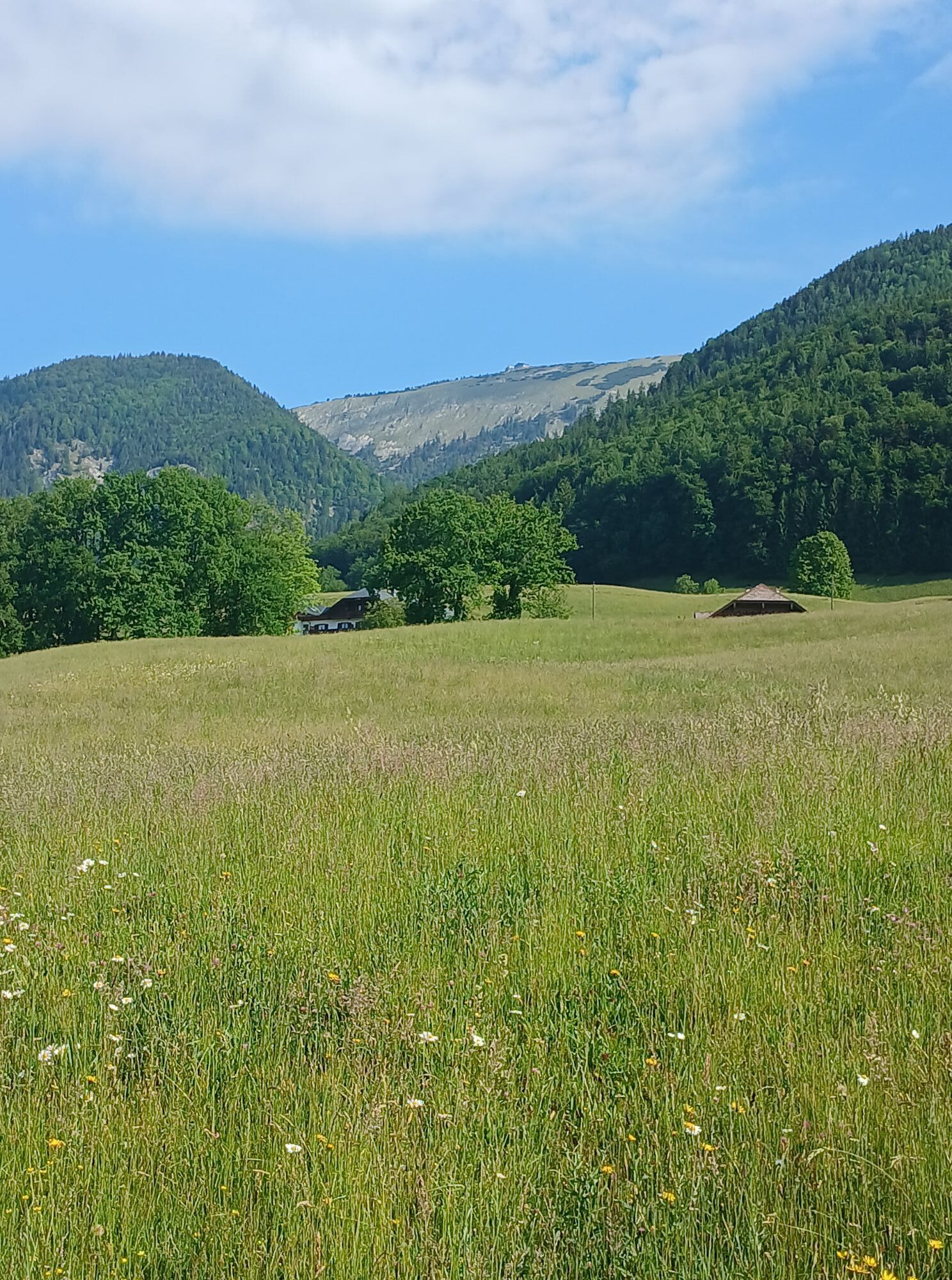
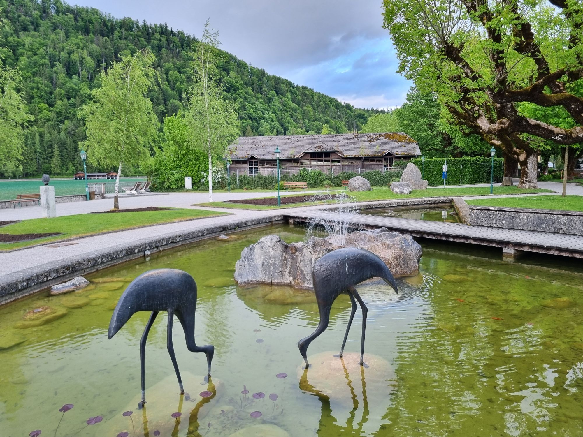
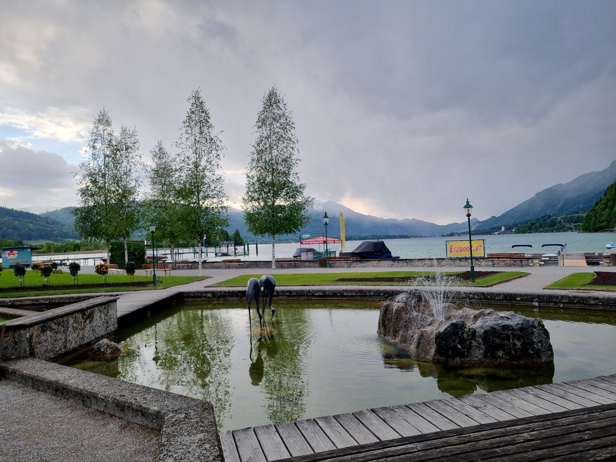
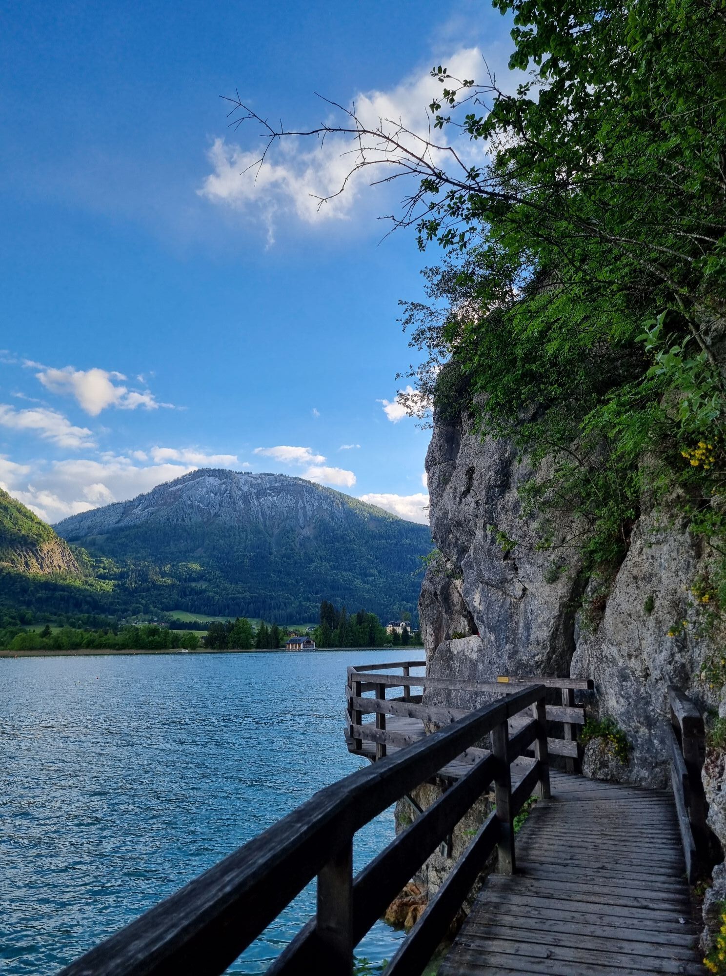
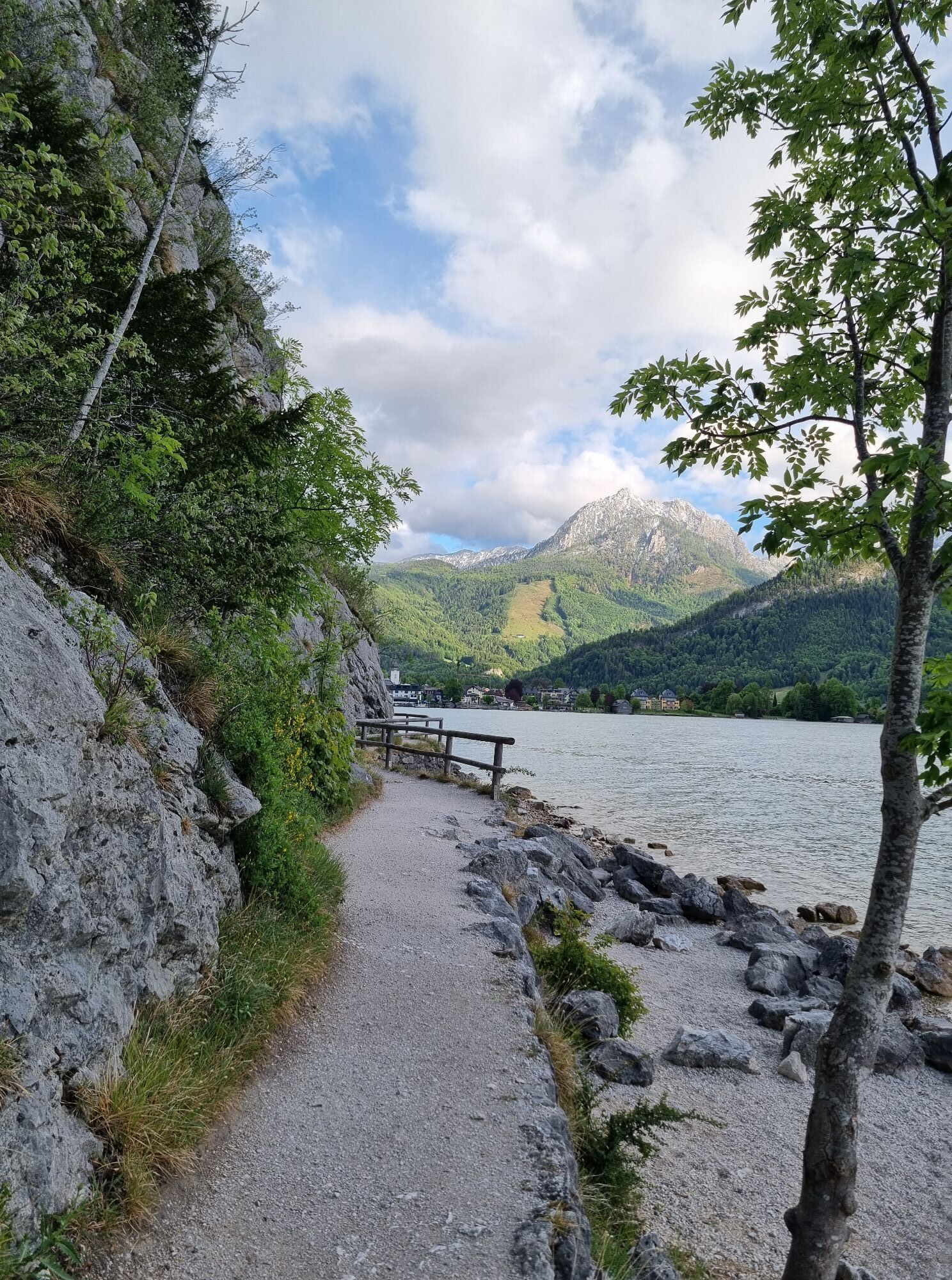
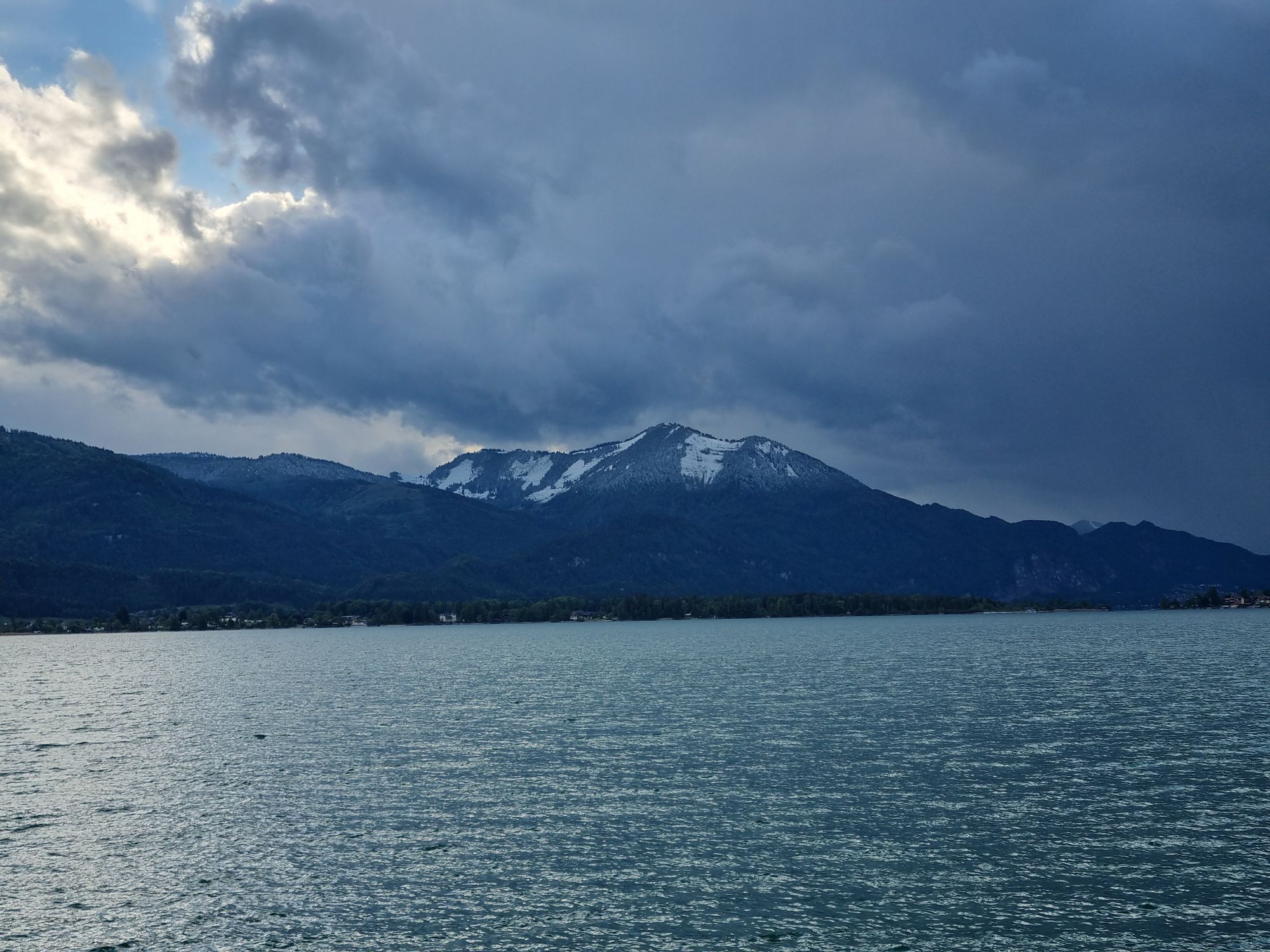
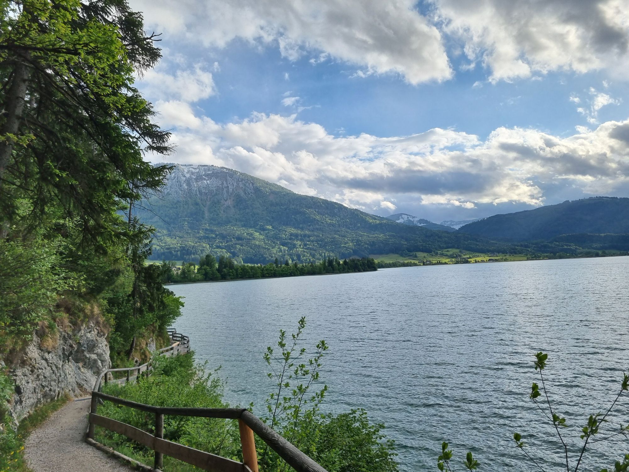
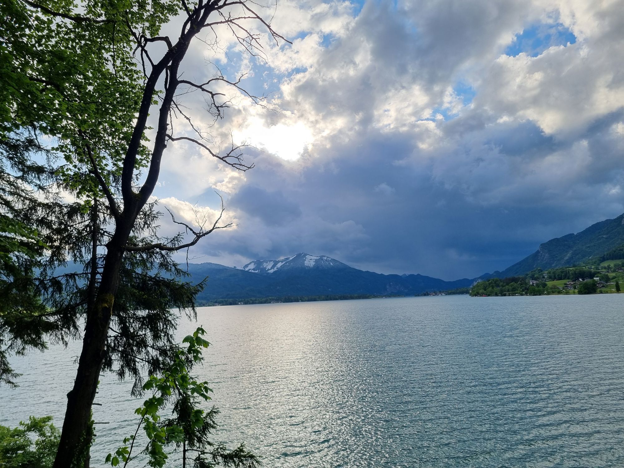
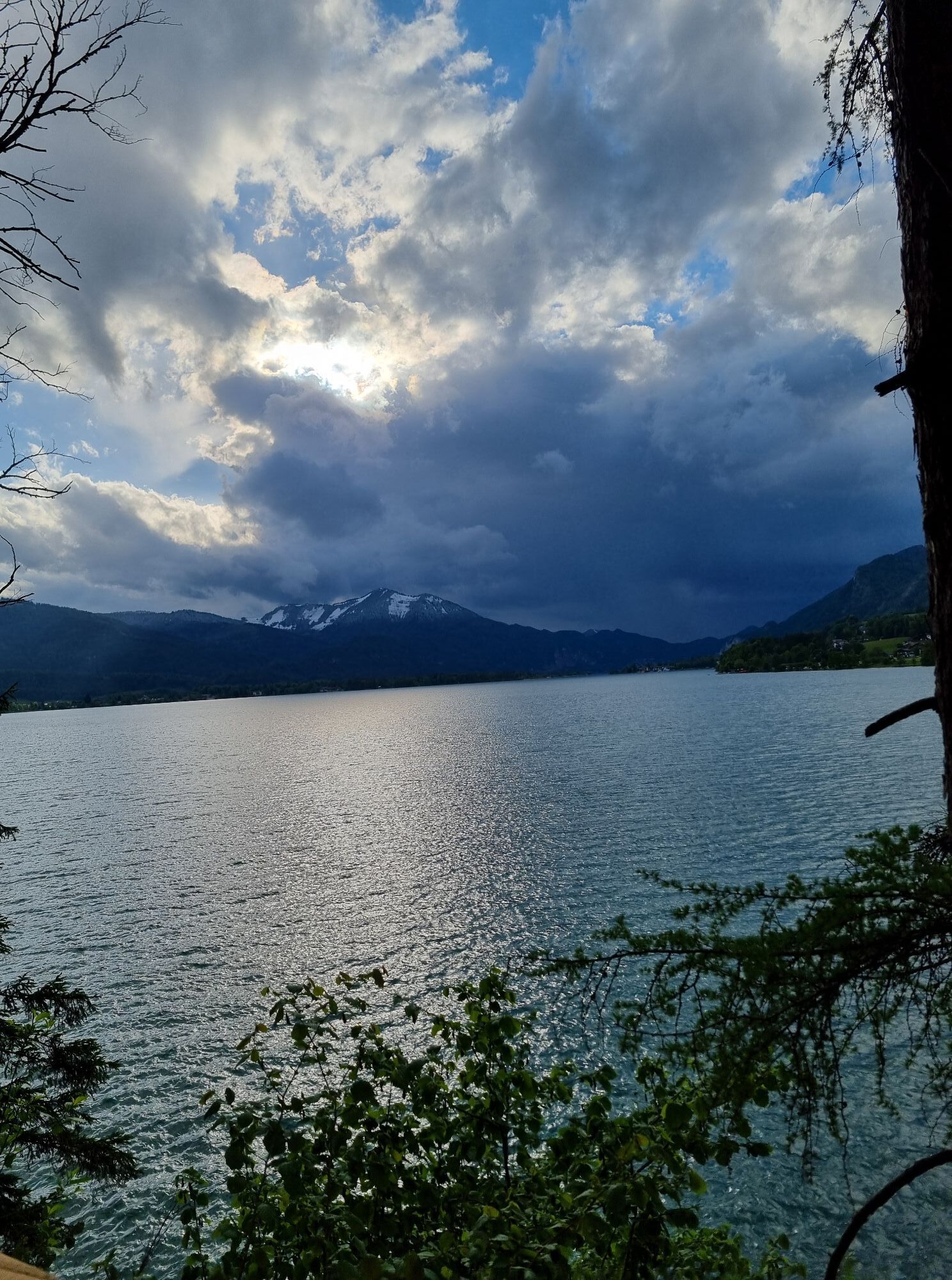
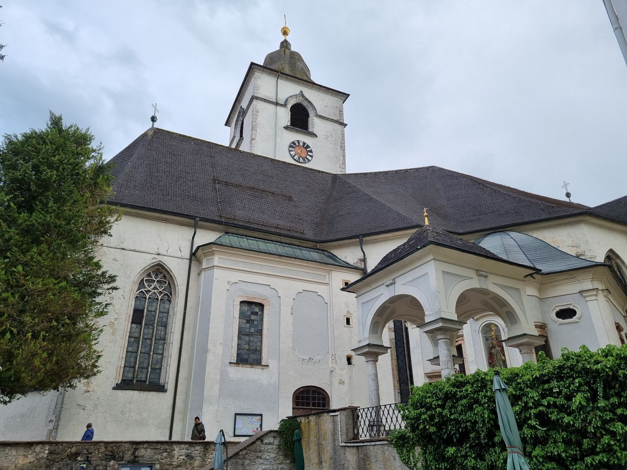
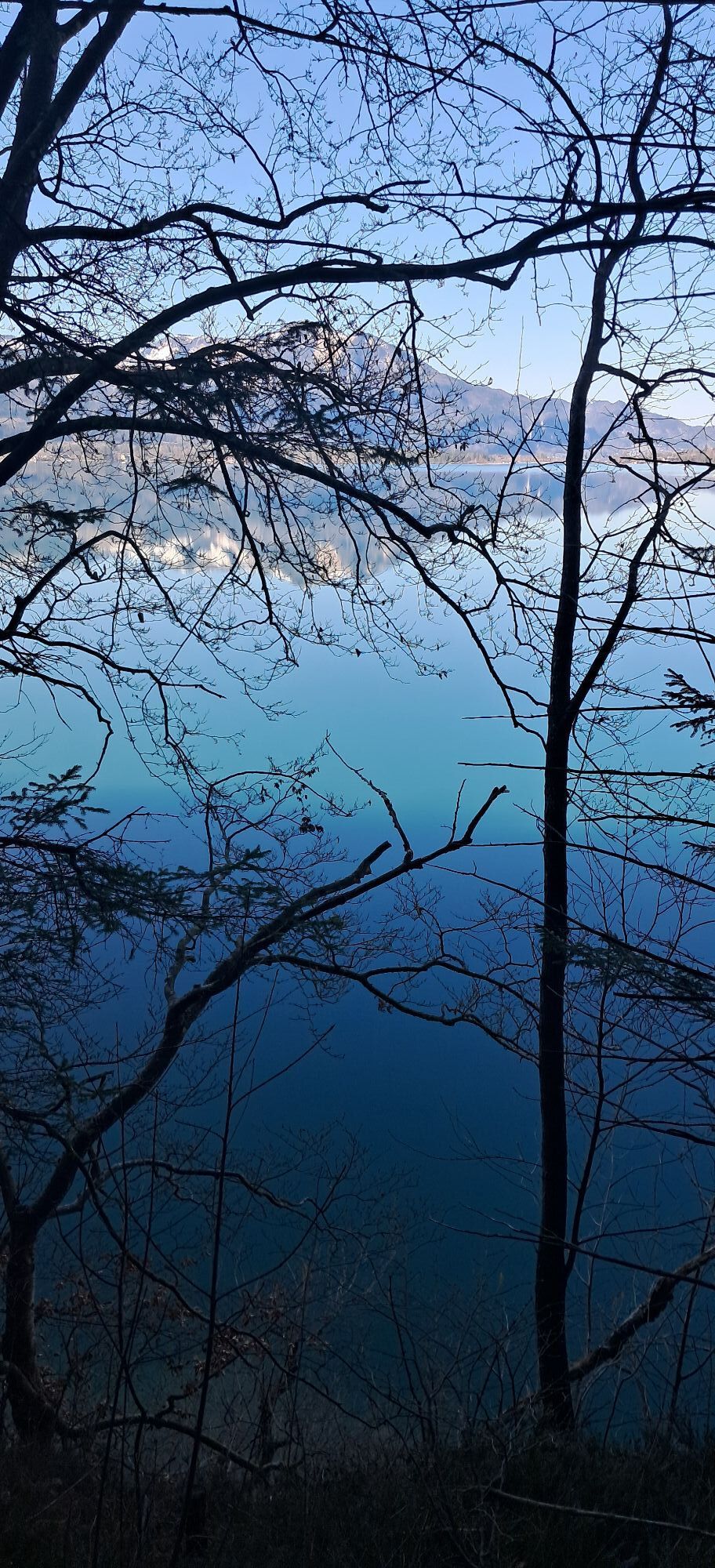
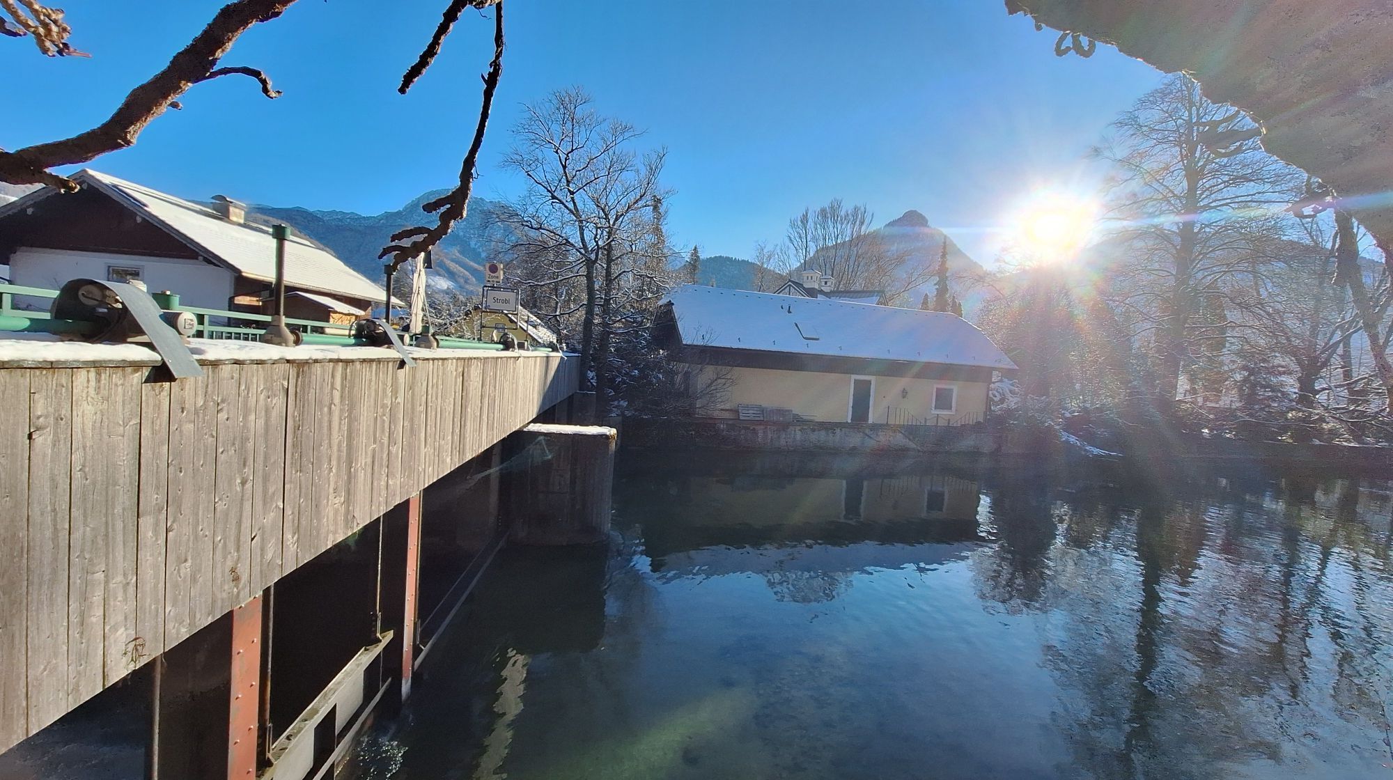
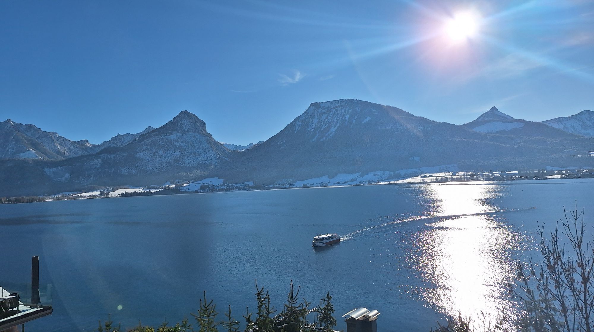
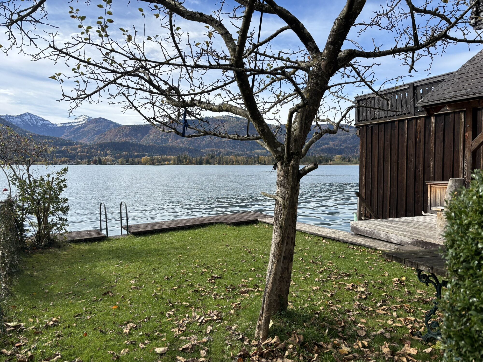
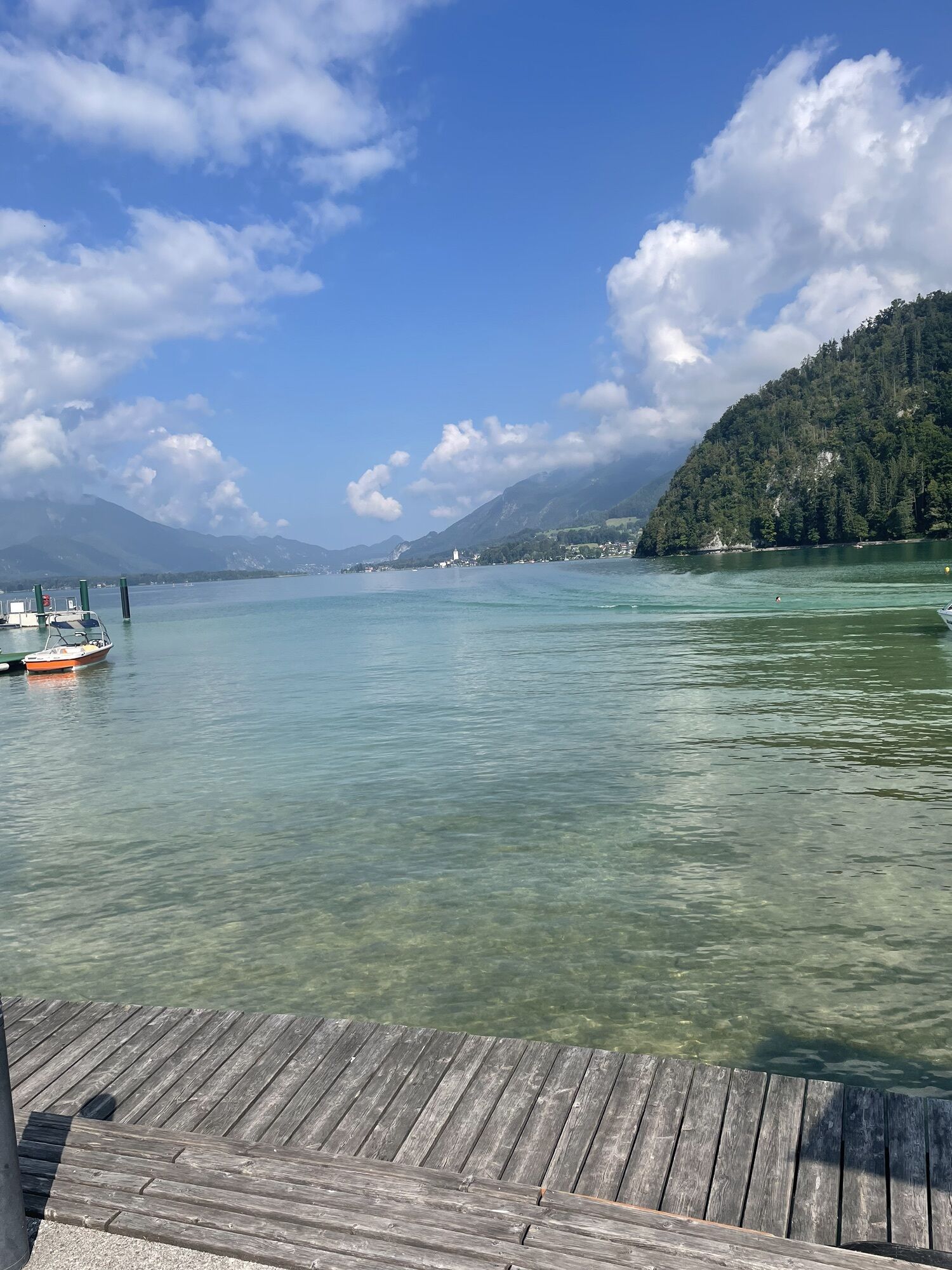
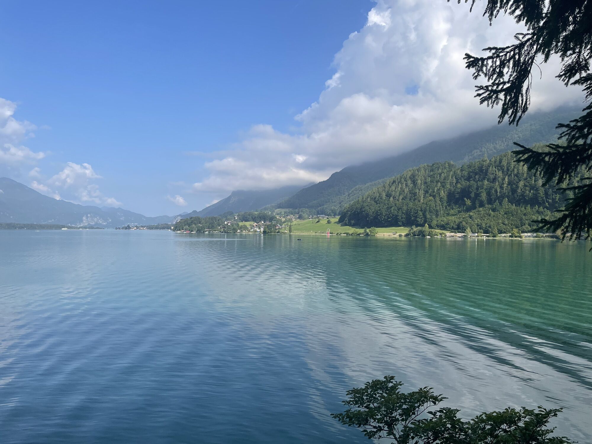
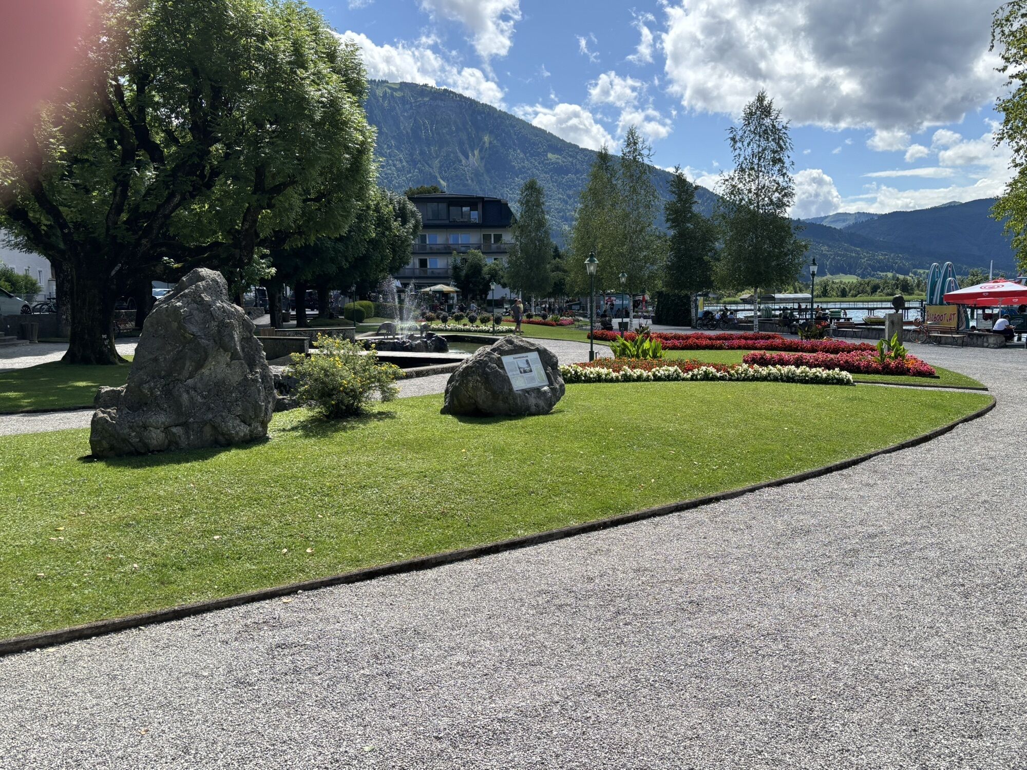
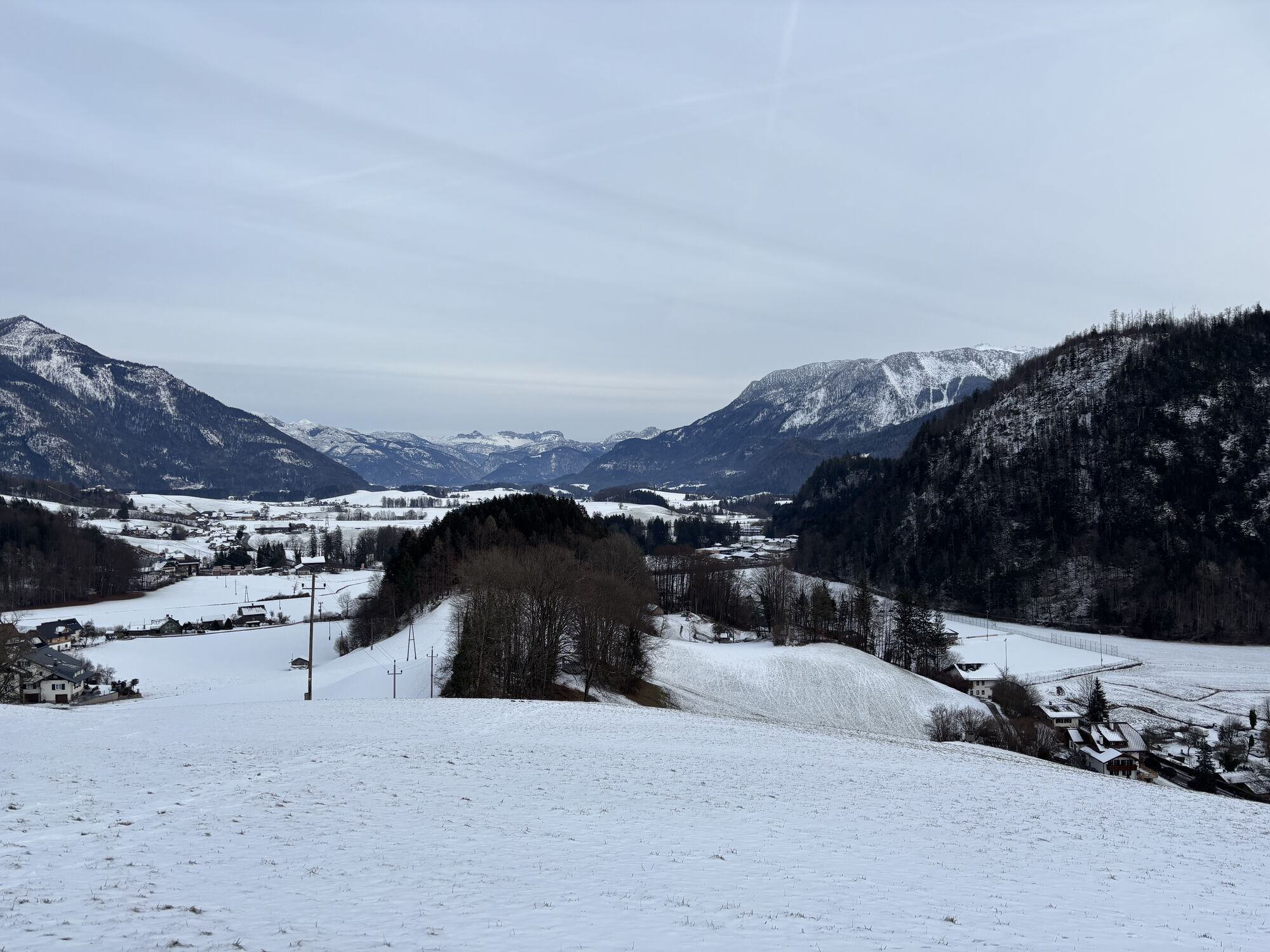
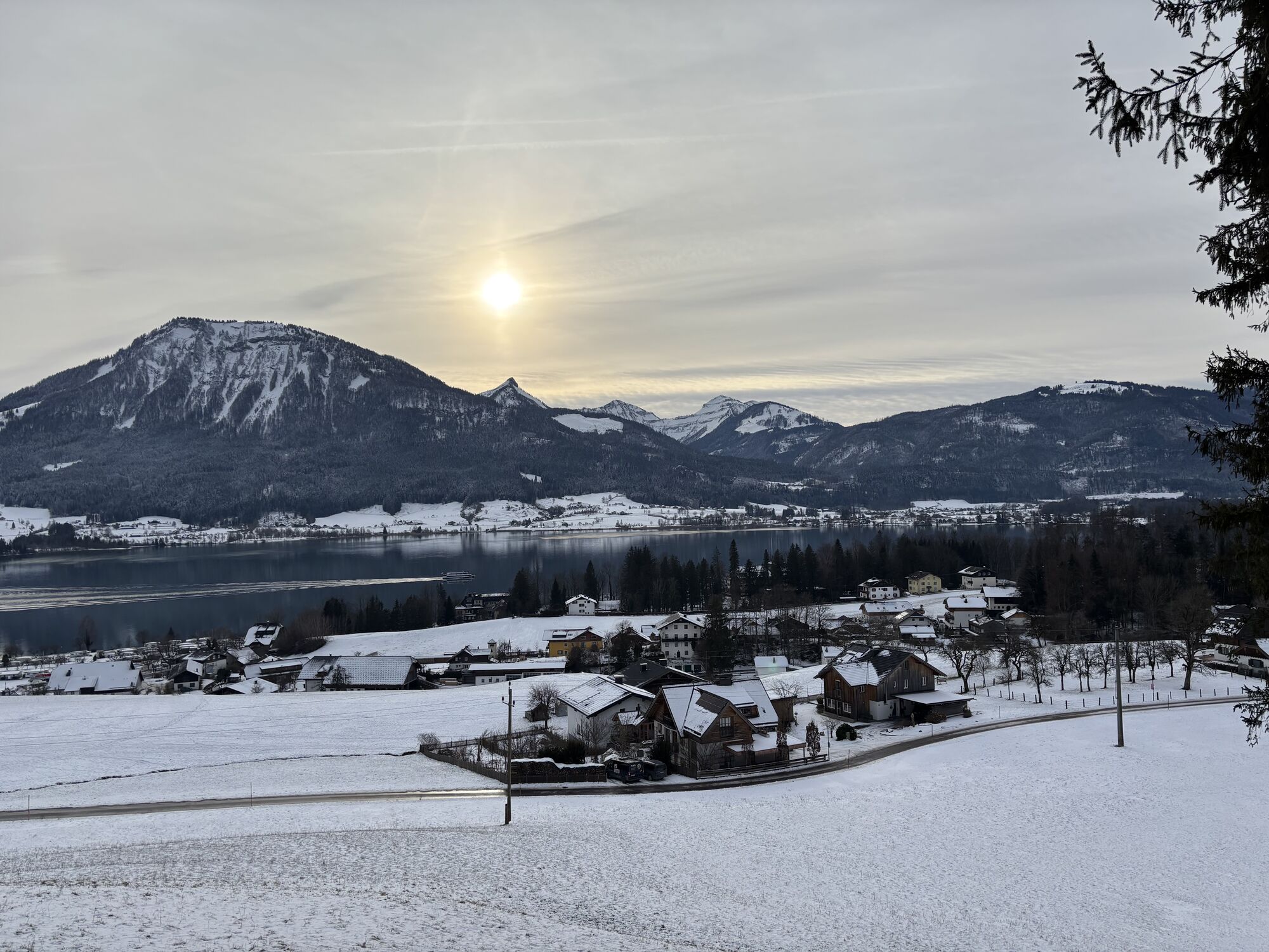
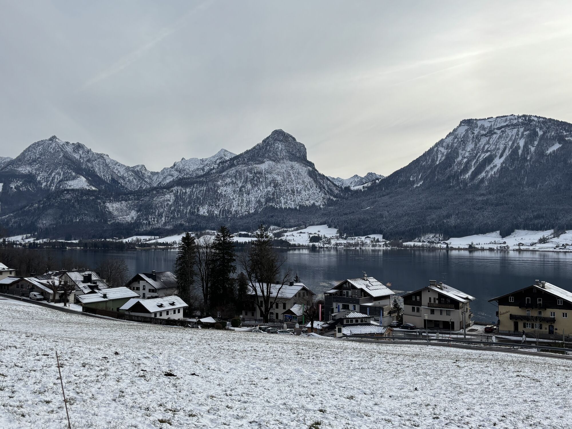
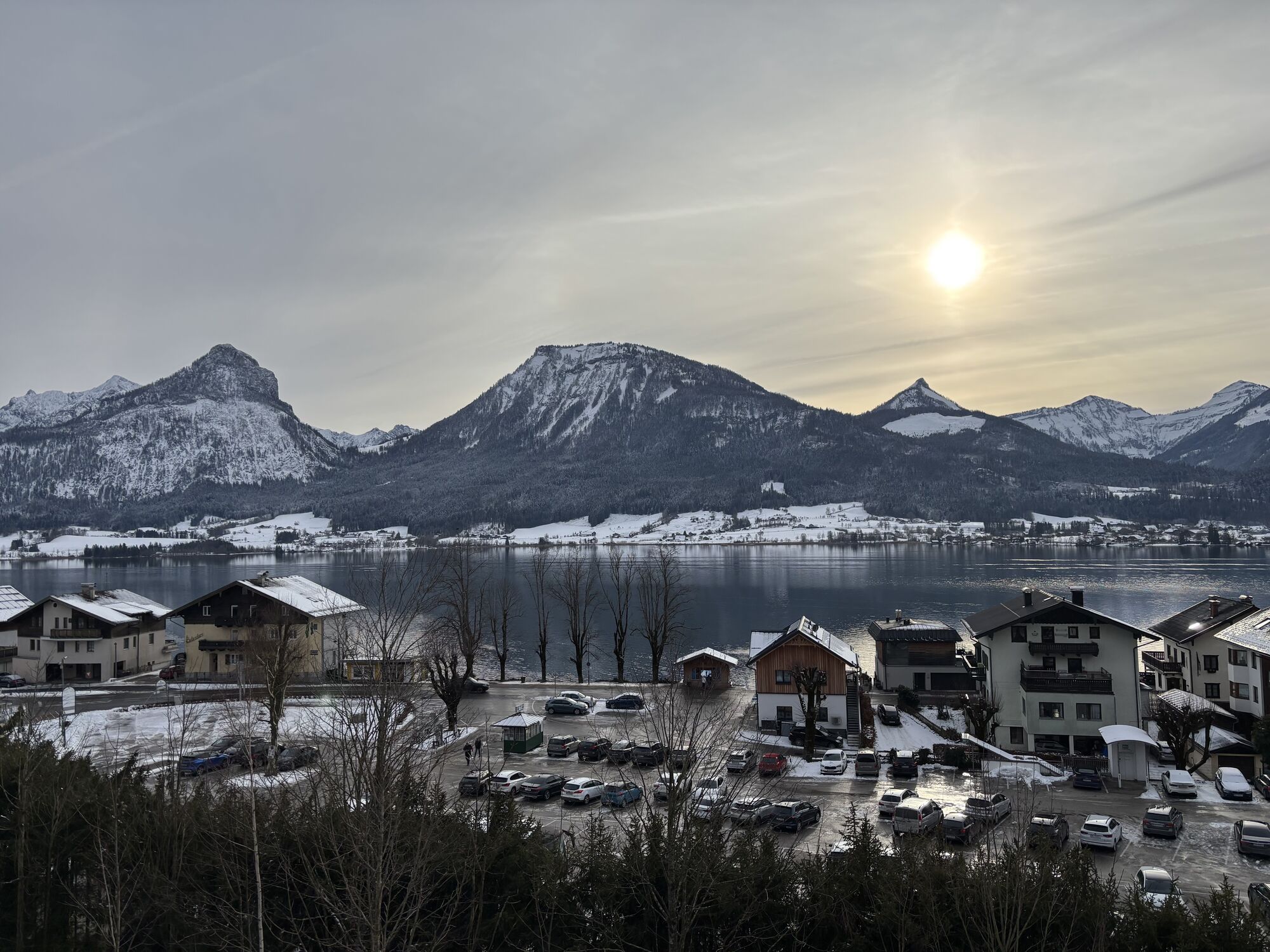
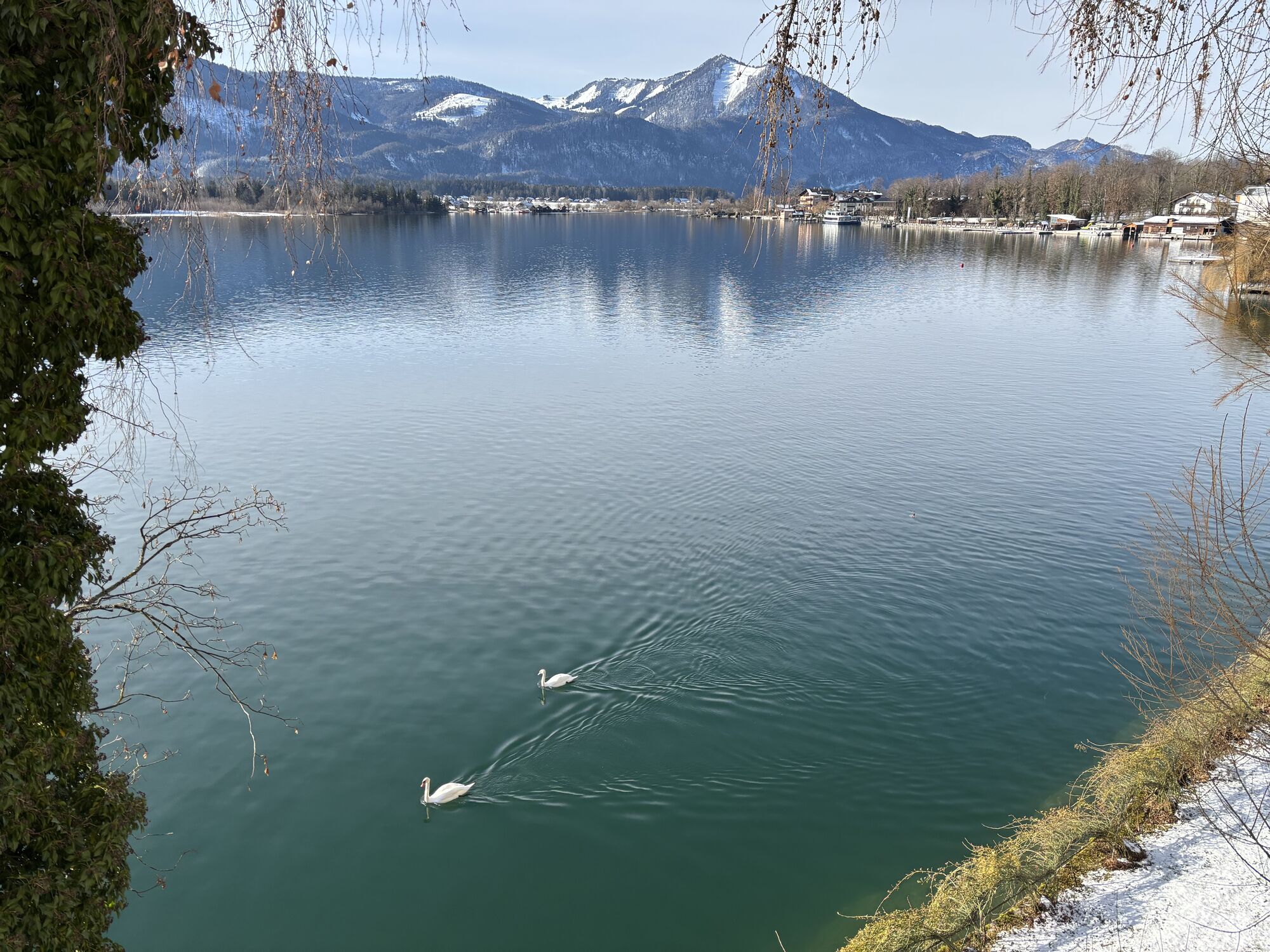
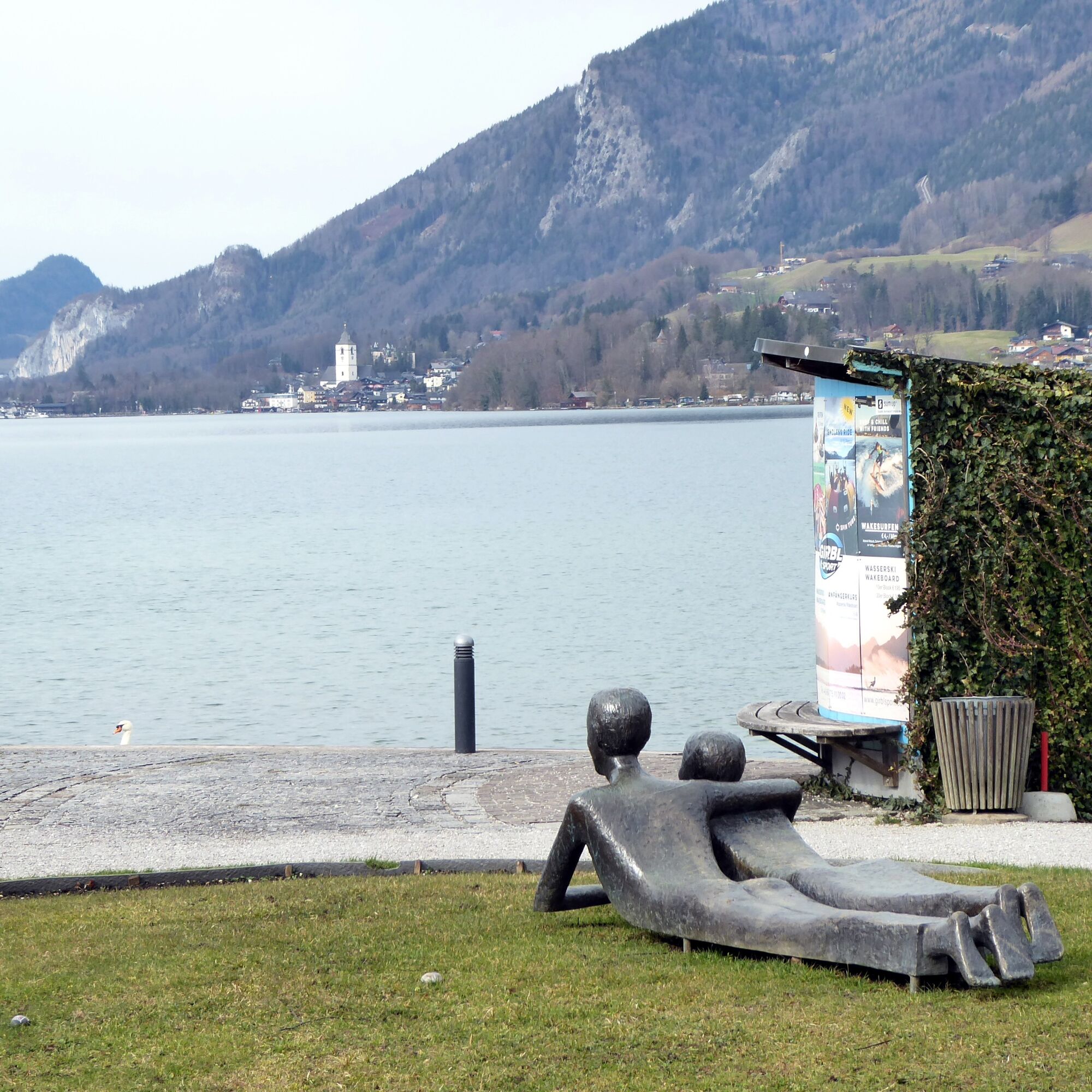
A path of contrasts: In Strobl, it is mostly quite tranquil, while in St. Wolfgang the stream of tourists is somewhat more concentrated. The route itself also offers great differences. While the first part invites you to (foot) bathing, the second section offers spectacular lake views from great heights. Both Salzkammergut towns share a high density of cultural monuments. In Strobl, the locally born artist Eva Mazzucco (1925 – 2013) has left diverse traces with her delightful bronze sculptures. Right at the start, the “Reading Boy” contemplates on the meadow in front of the elementary school; soon after, between the parish church and the municipal office, the bronze sculpture of the legendary Hans III Strobl reminds of the origin of the town’s name; and at a particularly picturesque spot on the lakeside promenade, the “Platonic Pair” lying in the grass dreams of the opposite St. Wolfgang. There, in the world-famous pilgrimage and operetta town, the magnificent interior of the church with the Gothic Michael Pacher altar is probably the highlight. There is plenty to see, and the return journey can also be turned into an additional highlight with a boat trip.
Direct arrival and details at: salzburg-erfahren.at

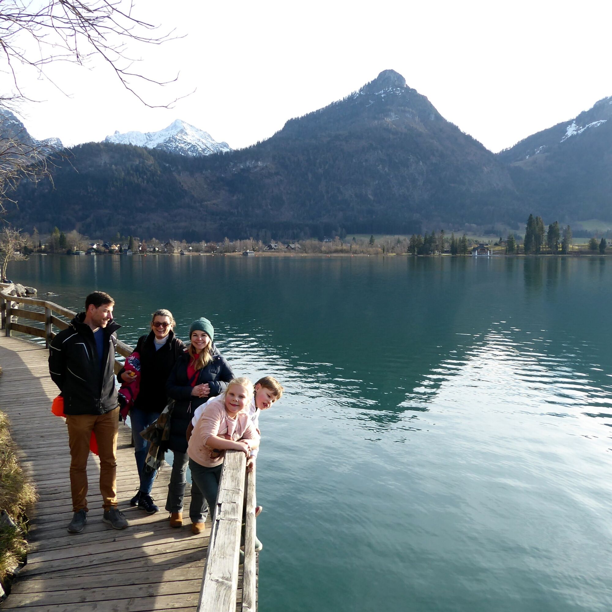
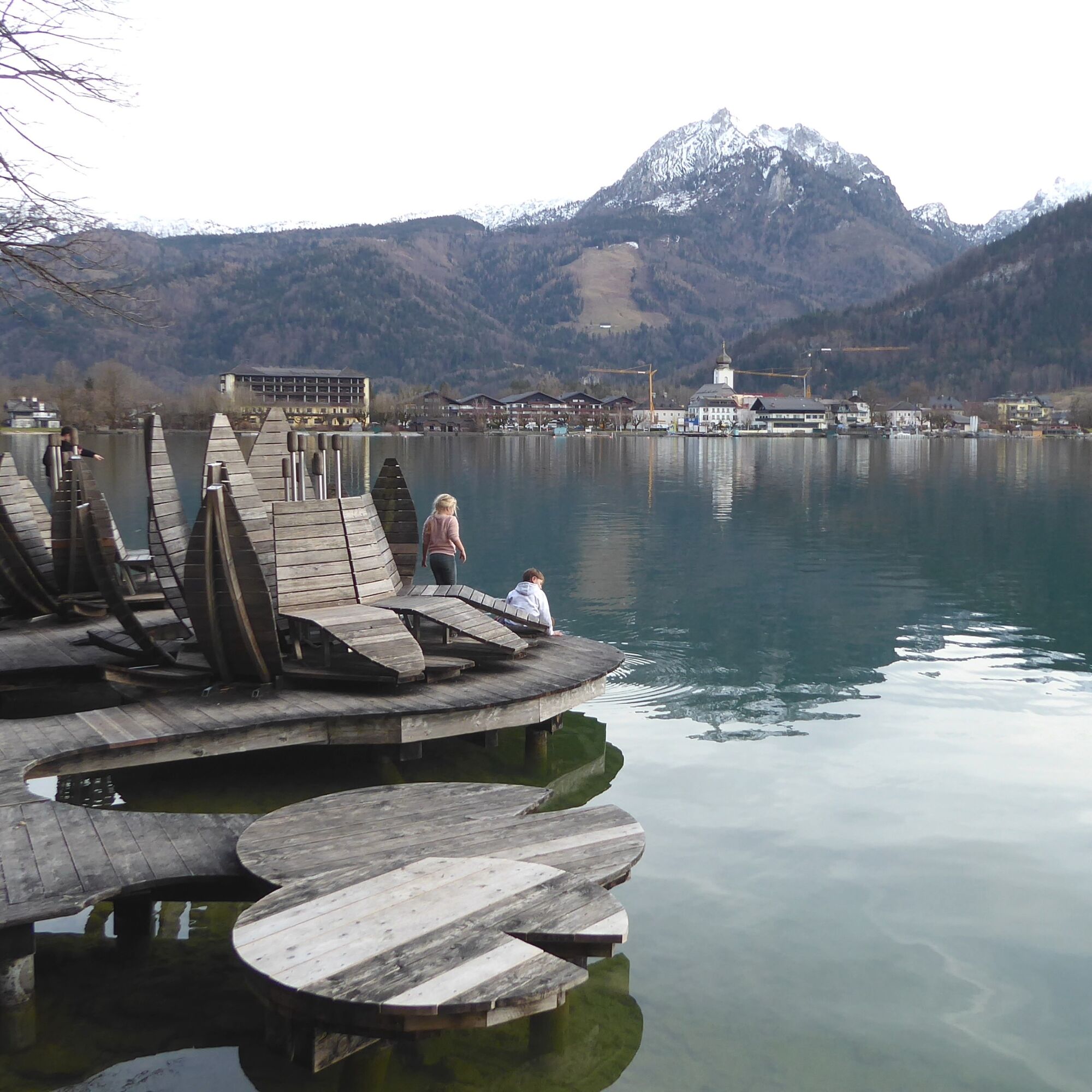
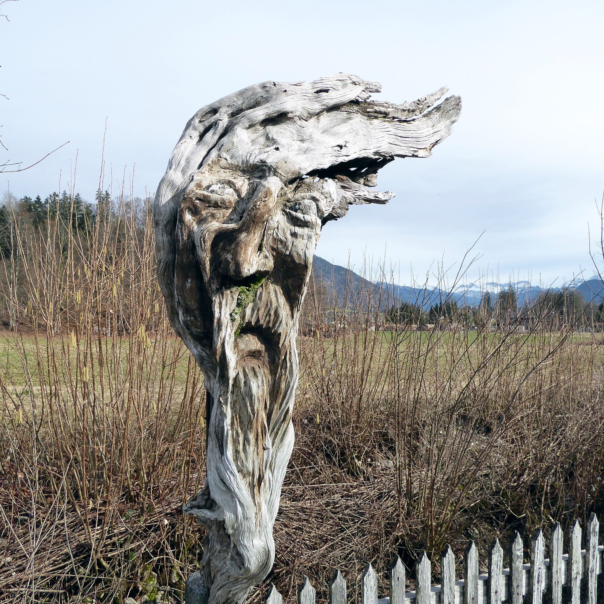
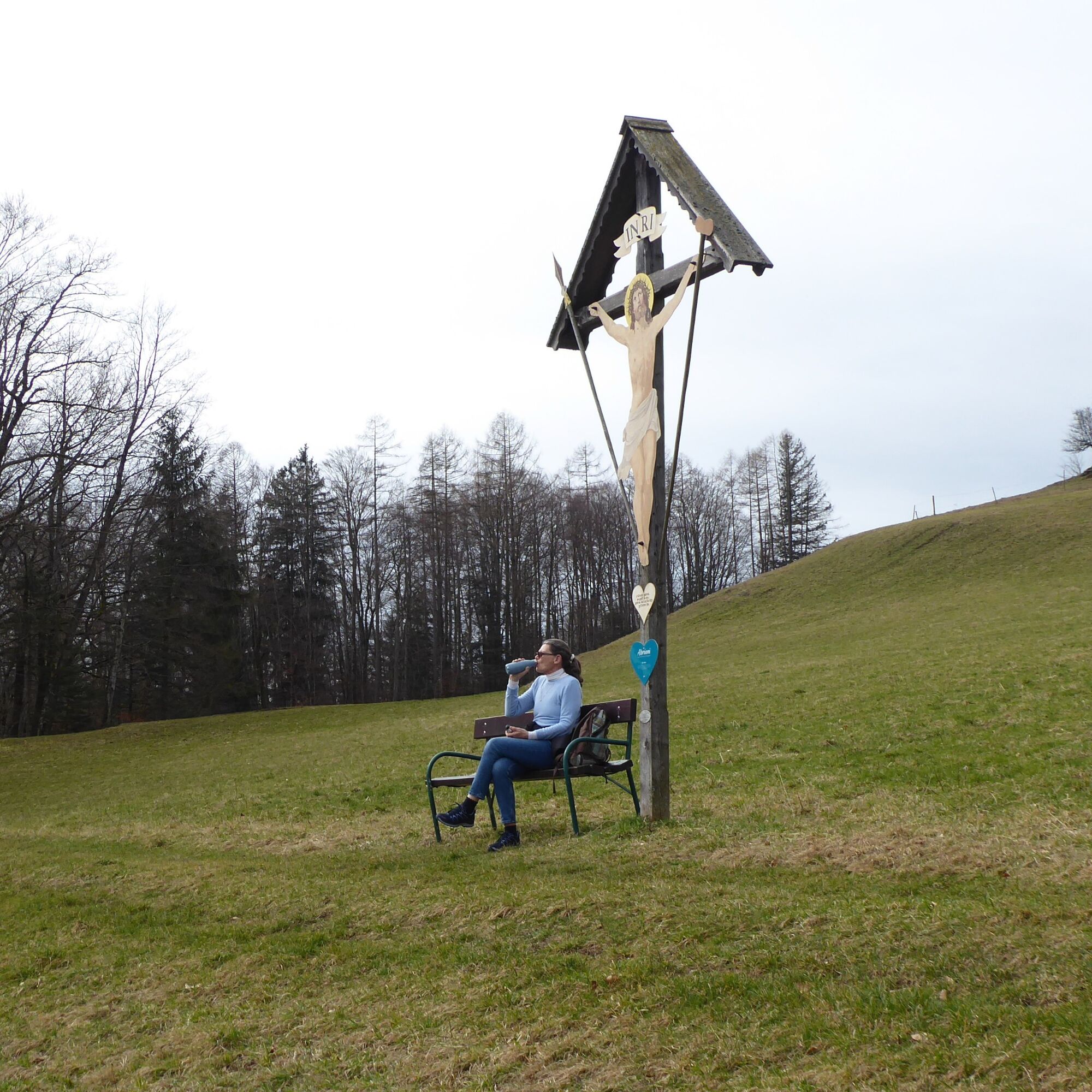
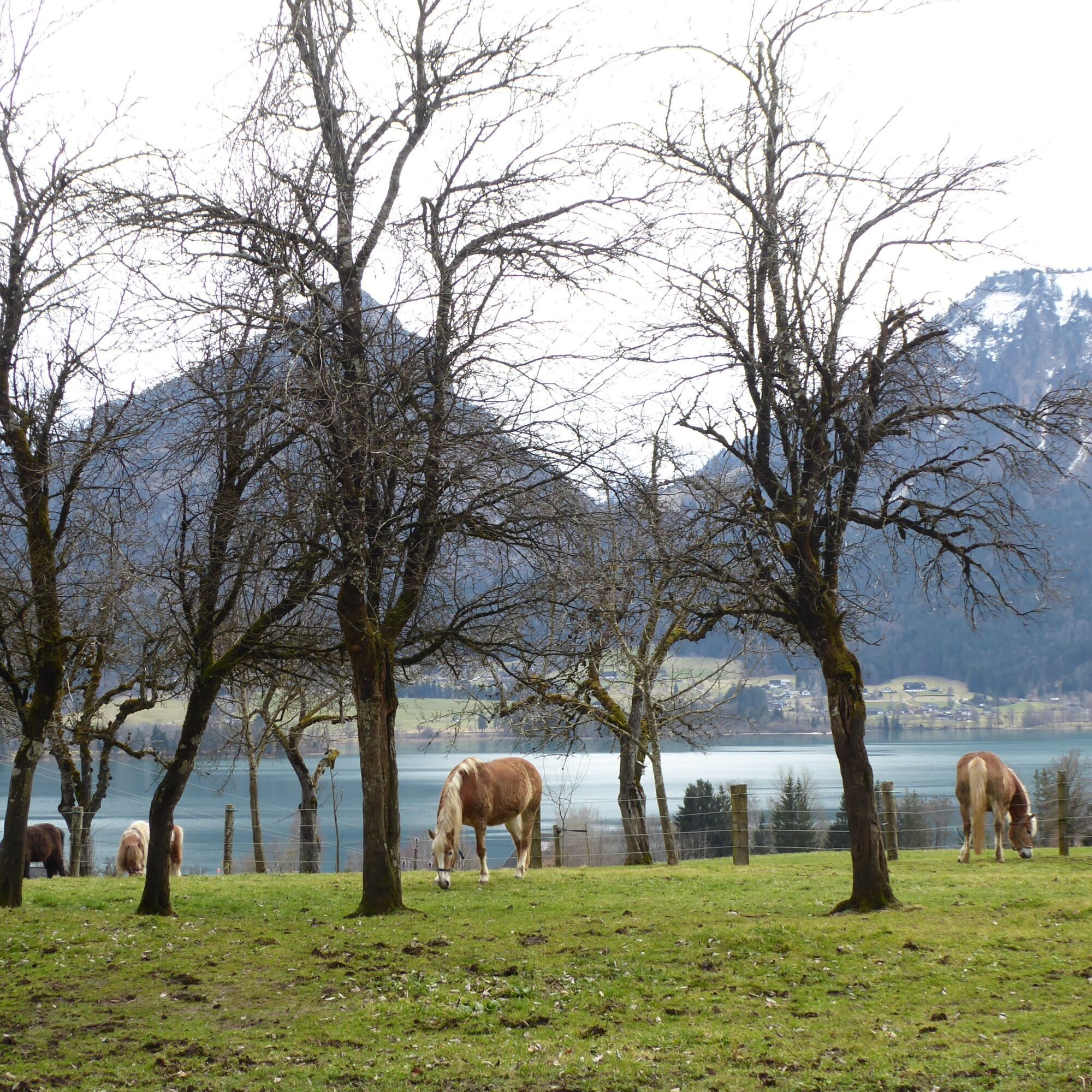
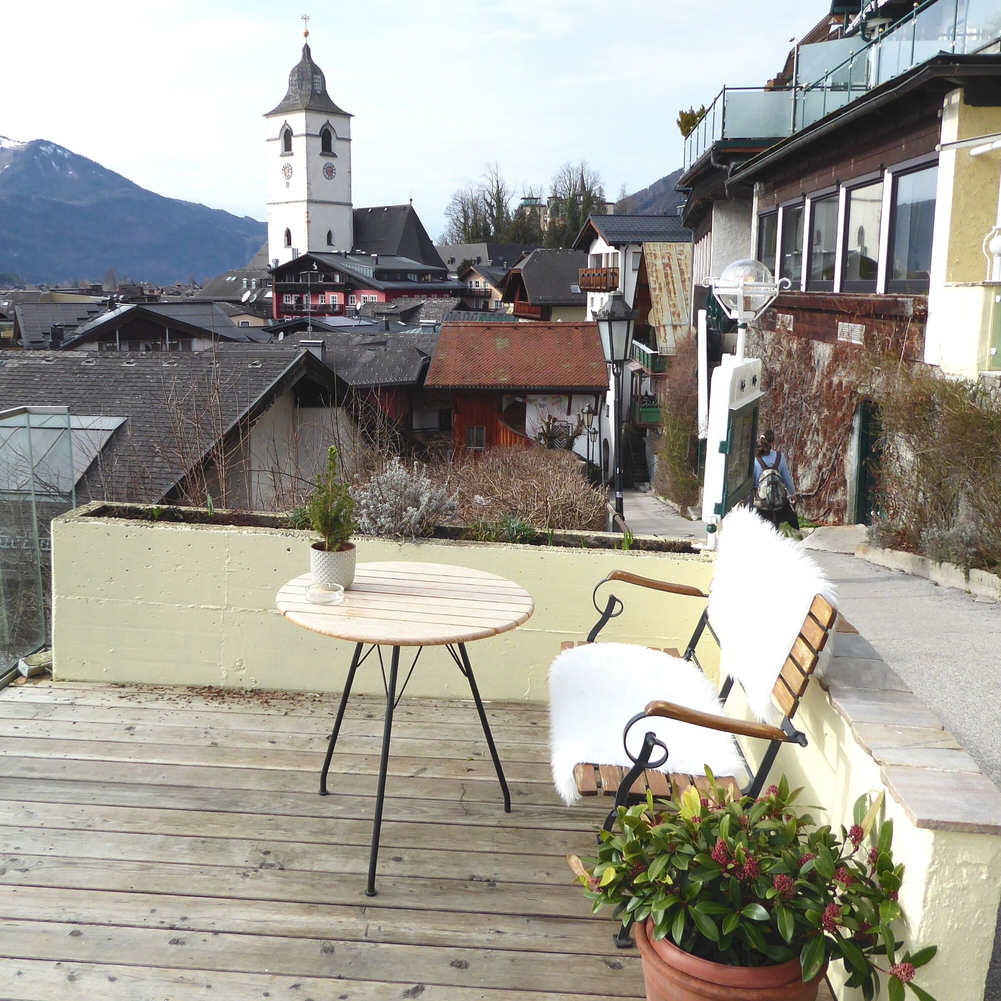
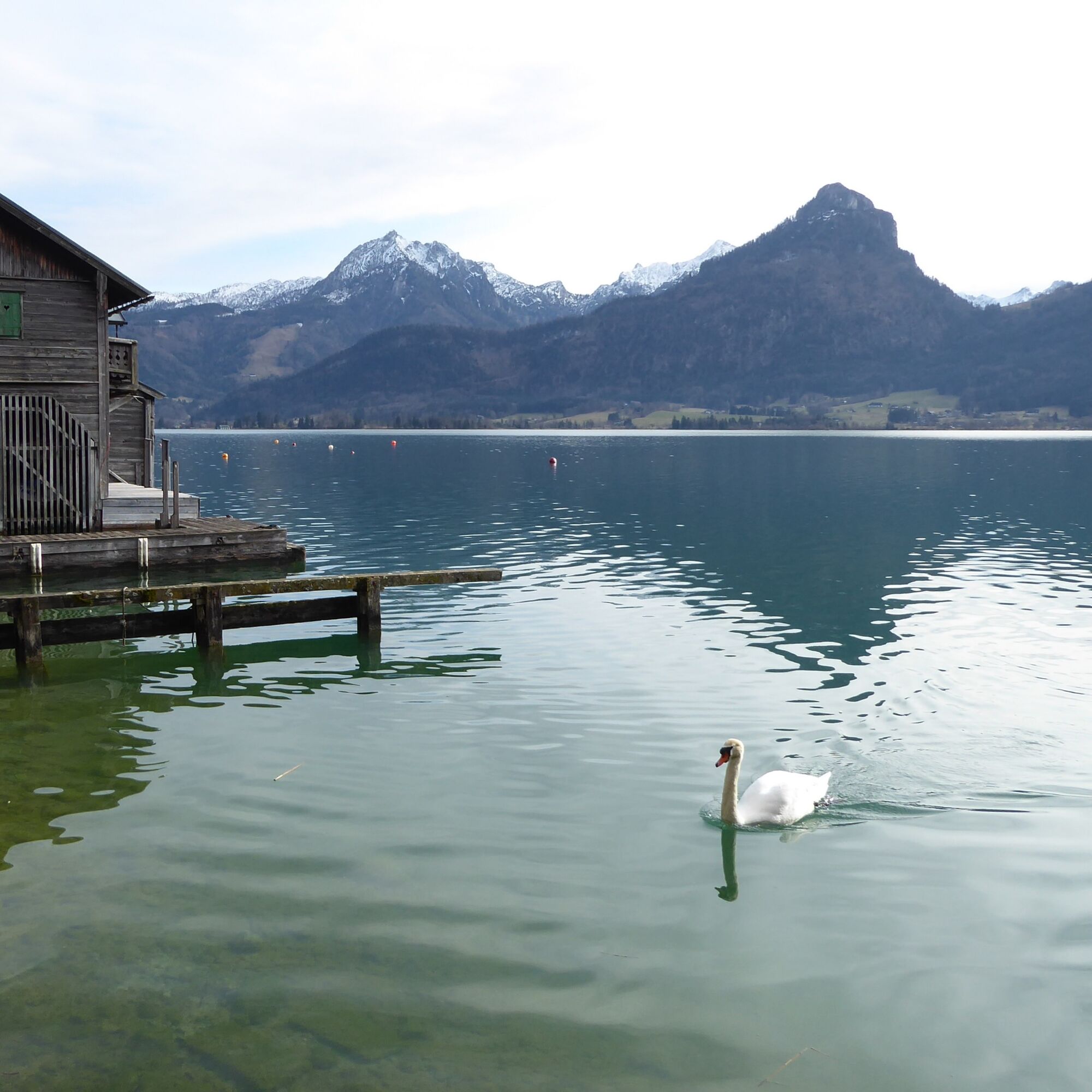

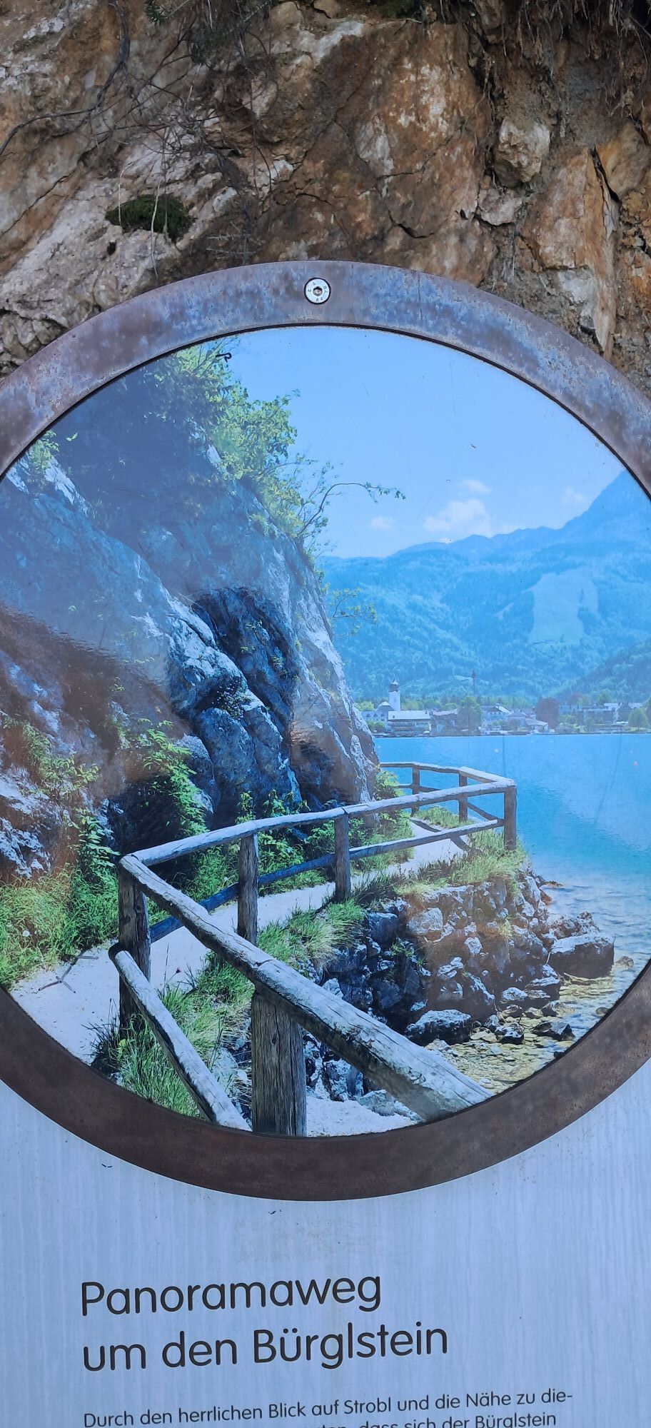
From the bus terminal, the path leads along Bahnstraße towards the church into the town center. Turning right along the lakeside promenade, then near the shore the route crosses the Ischl river and thereby also changes from the state of Salzburg to Upper Austria. The boardwalk runs directly along the rock, bypasses the Bürglstein, and meets the road to St. Wolfgang. Now going in the opposite direction 300 m along the state road to the right, and then following the signposting “St. Wolfgang Buchberg” left to the tavern “Mosti”. There, the scenic “Meadow Path 33” branches off to the right and, passing an atmospheric weather cross, meets a farm driveway at Buchberggut (650 m). Path 33 to St. Wolfgang follows this and after 30 minutes enters the town center at the tourist information. The first bus stop is here, another is shortly after the church at St. Wolfgang market (Mich.-Pacher-Haus), and the boat dock for the alternative return trip across the lake is only a few moments away.
Tak
Tak
By bus 150 from Salzburg main station (Südtiroler Platz) to Strobl bus station. Return by bus 546 from St. Wolfgang market (Mich.-Pacher-Haus) or from St. Wolfgang Au to Strobl bus station and further with bus 150.
Very good frequency (half-hourly)!
Schedule information and download: Online at www.salzburg-verkehr.at or on your smartphone via the free Salzburg Verkehr app for Android and iOS.
Direct arrival and details at: salzburg-erfahren.at
www.5schaetze.at/de/wolfgangseeschifffahrt/preise-und-fahrplan.html
Mag. Christian Heugl
5400 Hallein
Photo credit: Christian Heugl
The hike can be perfectly combined with a boat trip:
https://www.5schaetze.at/de/wolfgangseeschifffahrt/preise-und-fahrplan.html


 Uzyskaj wgląd
Zawsze na żywo z ponad 9 500 kamer internetowych. bergfex Jako użytkownik Pro, możesz teraz zobaczyć odpowiednie kamery internetowe dla wielu wycieczek w aplikacji wycieczki od. Pozwala to na bezpośredni podgląd aktualnych warunków.
Uzyskaj wgląd
Zawsze na żywo z ponad 9 500 kamer internetowych. bergfex Jako użytkownik Pro, możesz teraz zobaczyć odpowiednie kamery internetowe dla wielu wycieczek w aplikacji wycieczki od. Pozwala to na bezpośredni podgląd aktualnych warunków.


Popularne wycieczki w okolicy
-
4,5
Weißenbach am Attersee - Schoberstein
średniWędrówka 3,31 km -
4,2
Pillstein Panorama Rundweg
światłoWędrówka 3,40 km -
4,9
From Rußbach over the Gamsfeld
ciężkiWędrówka 11,5 km -
4,7
Pleasure hike over the Falkenstein
średniWędrówka 9,81 km -
3,7
Mondsee: Rund um den Mondsee
światłoJazda na rowerze 26,3 km -
3,6
Unterach am Attersee: Hochplettspitz
Wędrówka 4,25 km -
4,6
The Plombergstein: Adventure and summit panorama
światłoWędrówka 4,12 km -
4,9
Schwarzeneckalm-Bleckwand
światłoWędrówka 5,94 km -
4,8
Eisenaualm
średniMountainbike 37 km -
4,8
Salzkammergut: Die Drachenwand
ciężkiVia ferrata 4,32 km
Wędrówki i tropienie


Nie przegap ofert i inspiracji na następne wakacje
Twój adres e-mail została dodana do listy mailingowej.





