







4 Mountains 3 Lakes - 2nd Stage (St. Gilgen - Schafberg)
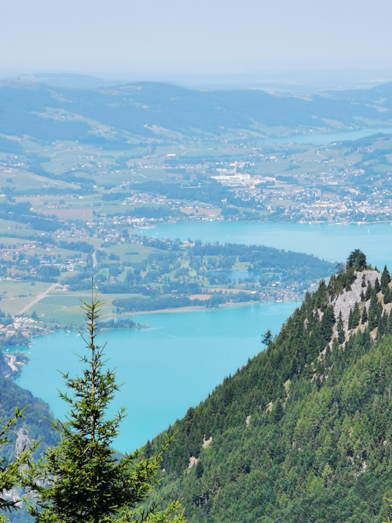
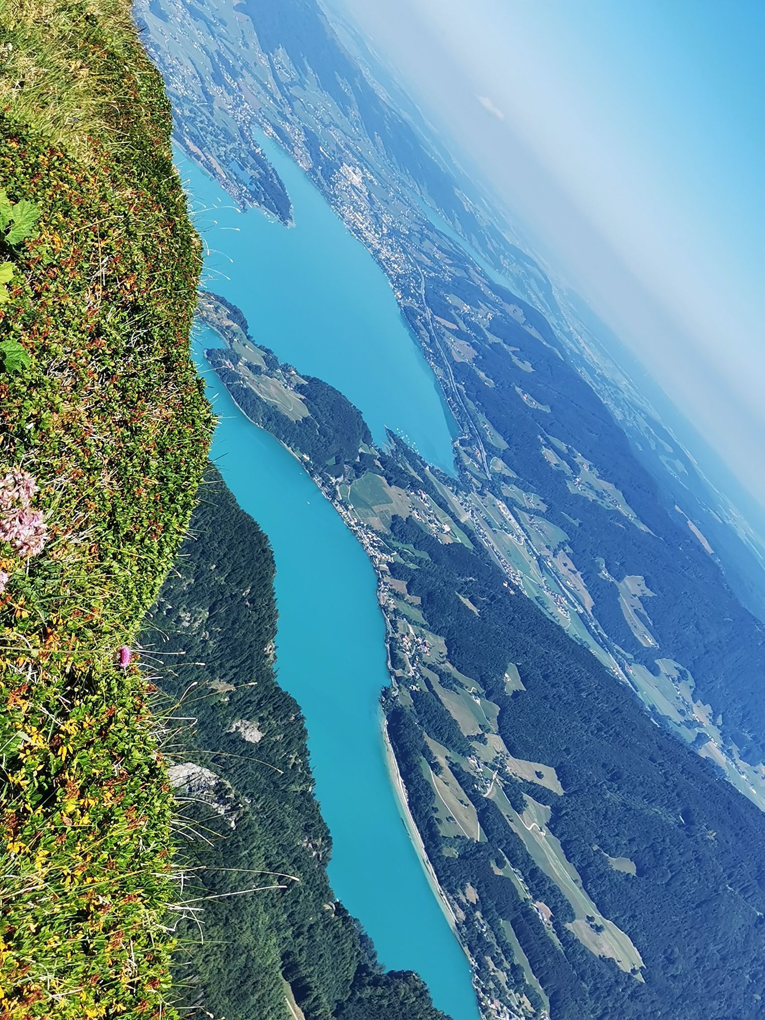
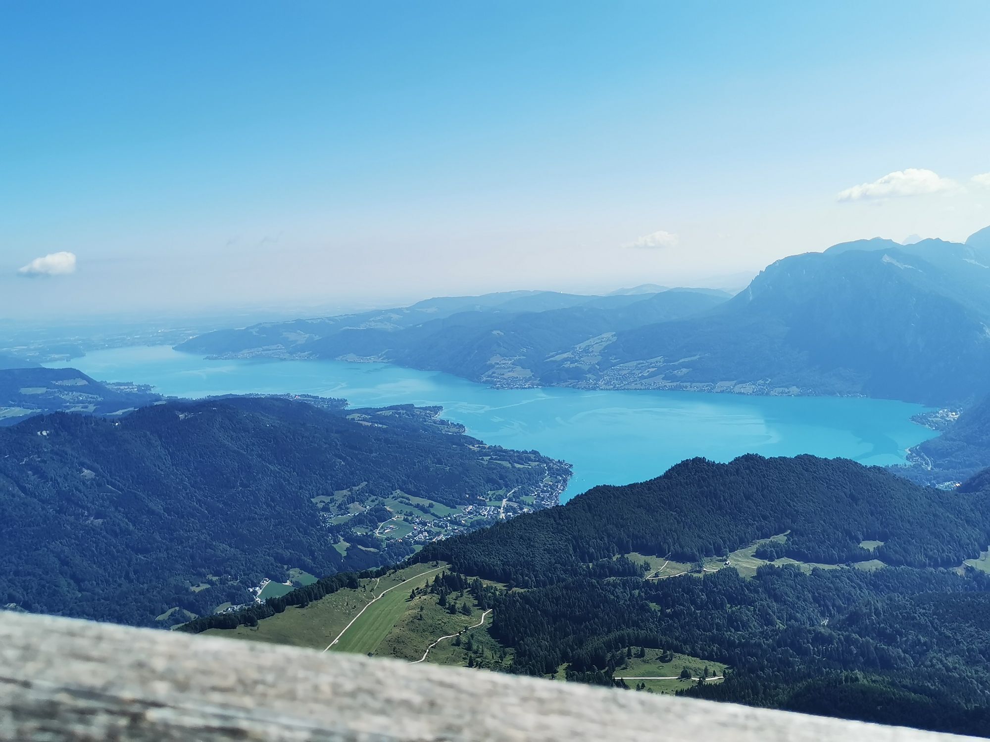
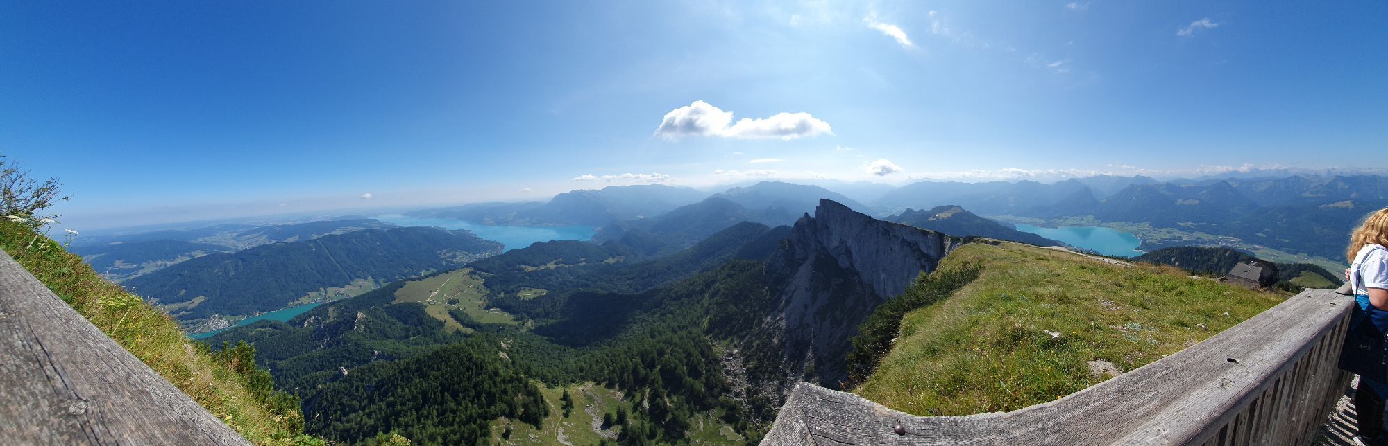
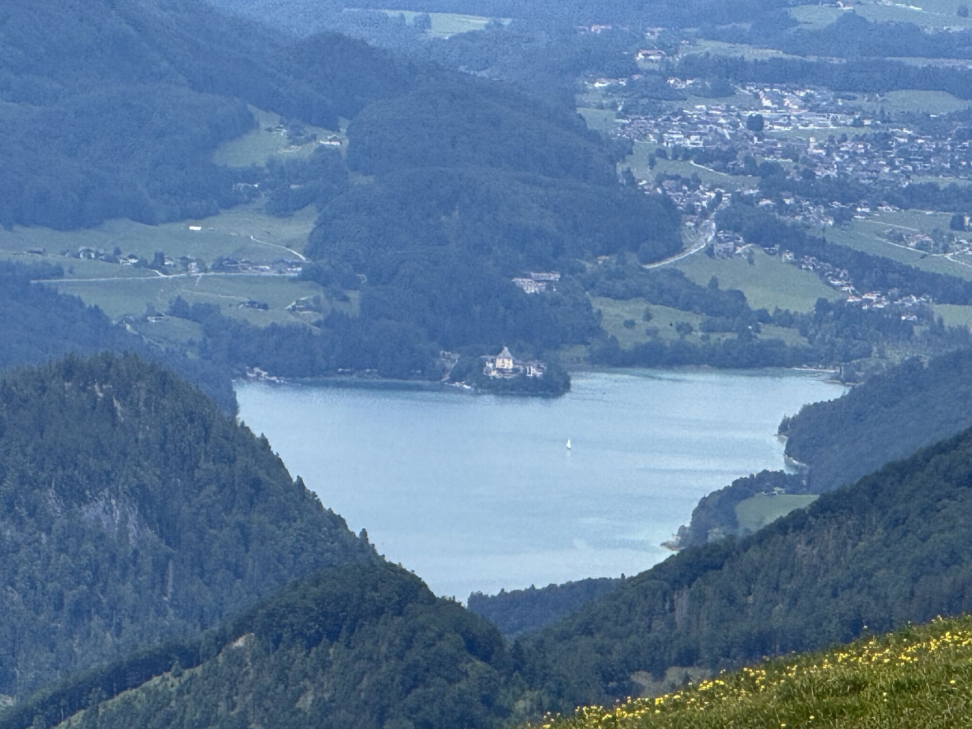
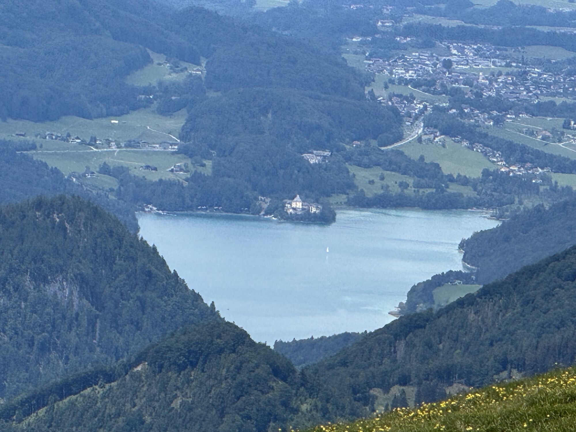
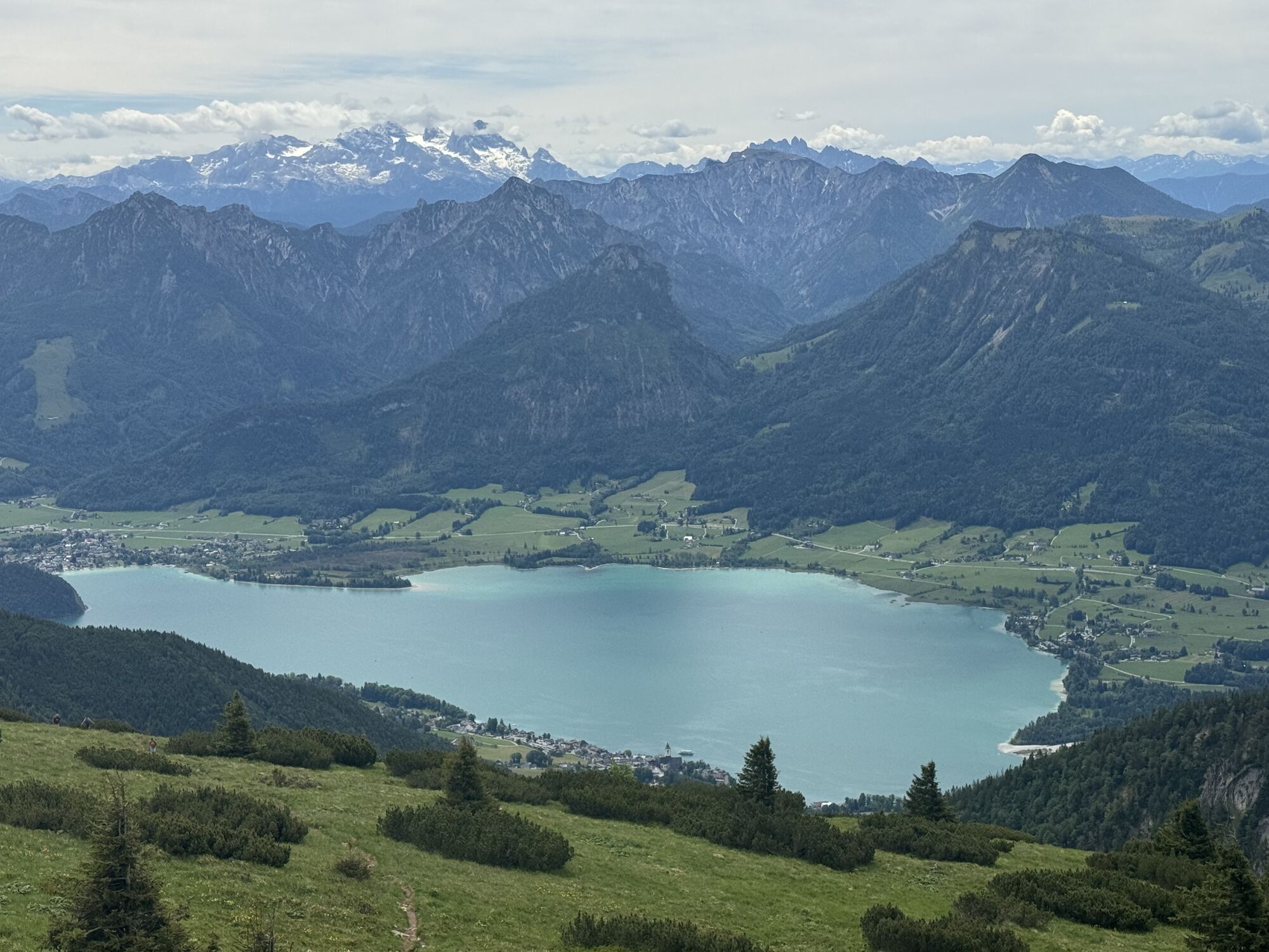
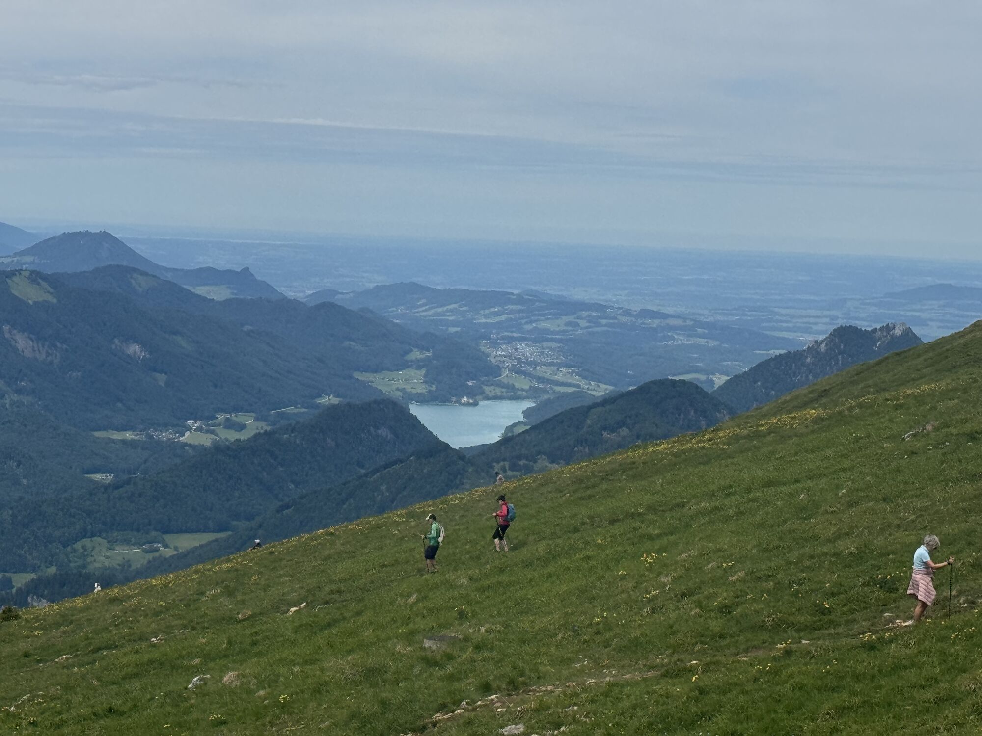
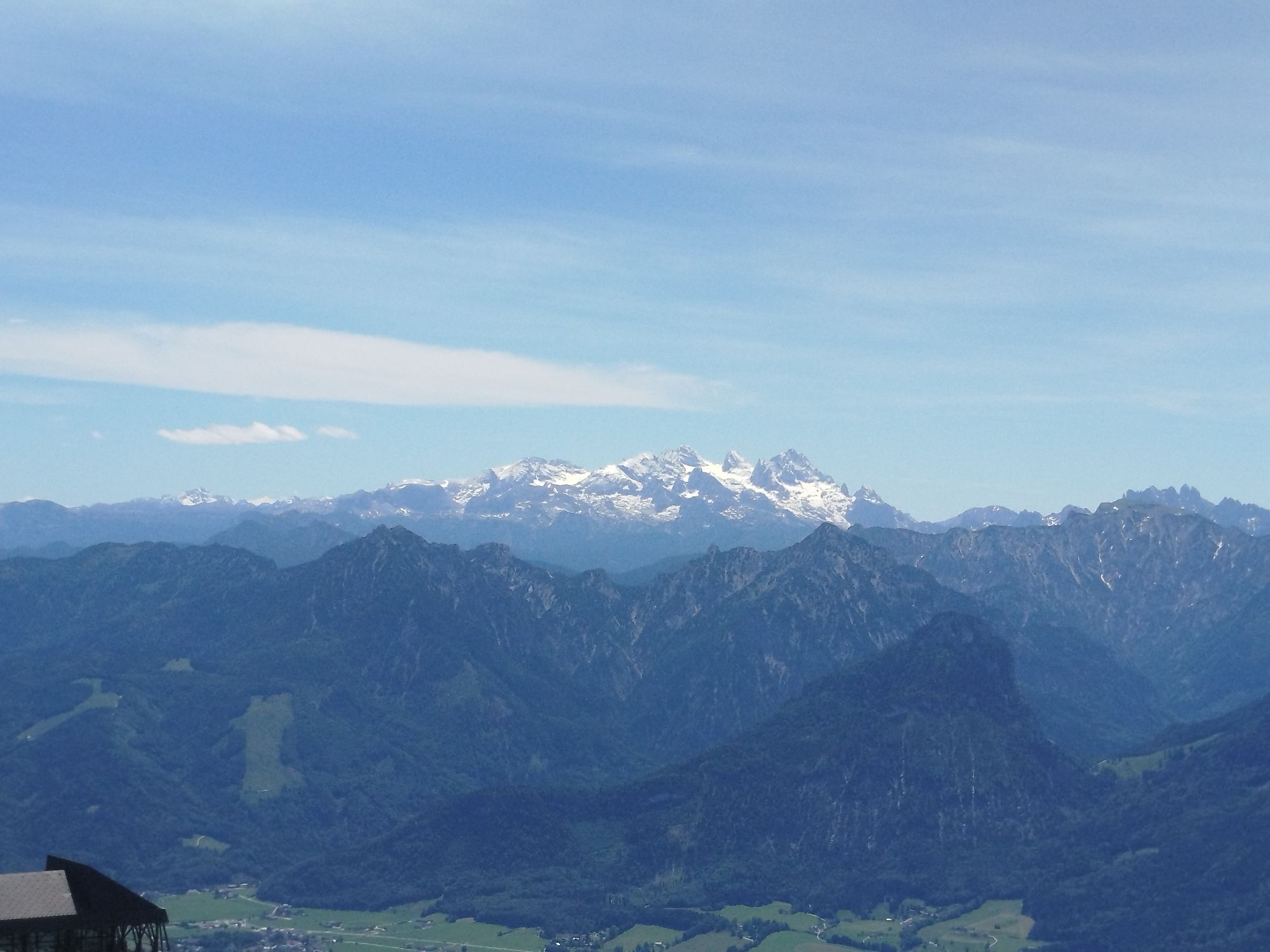
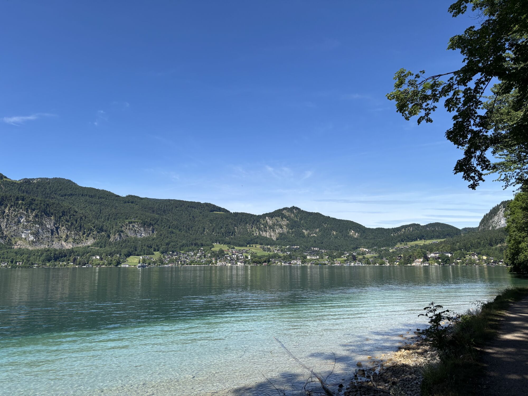
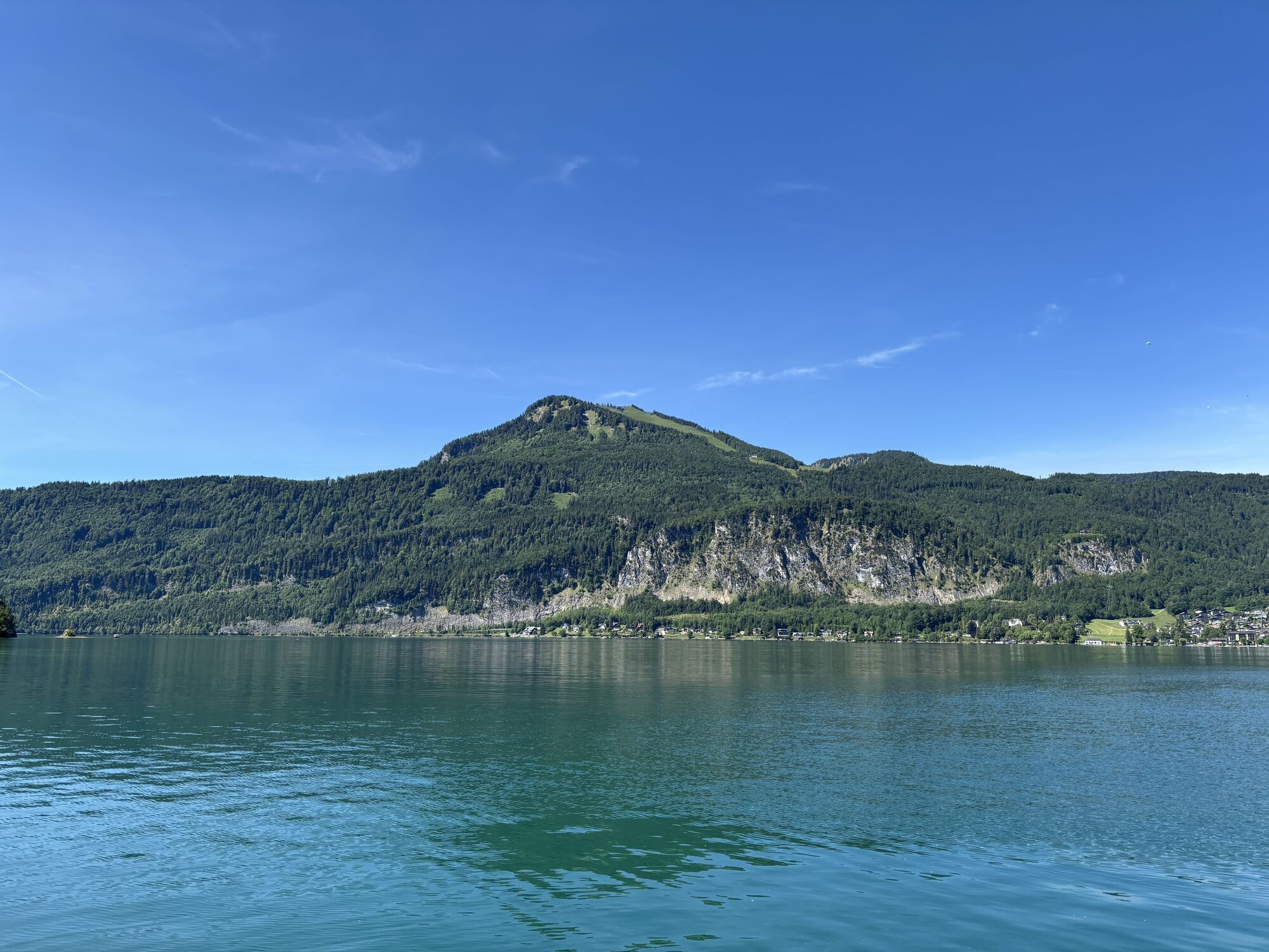
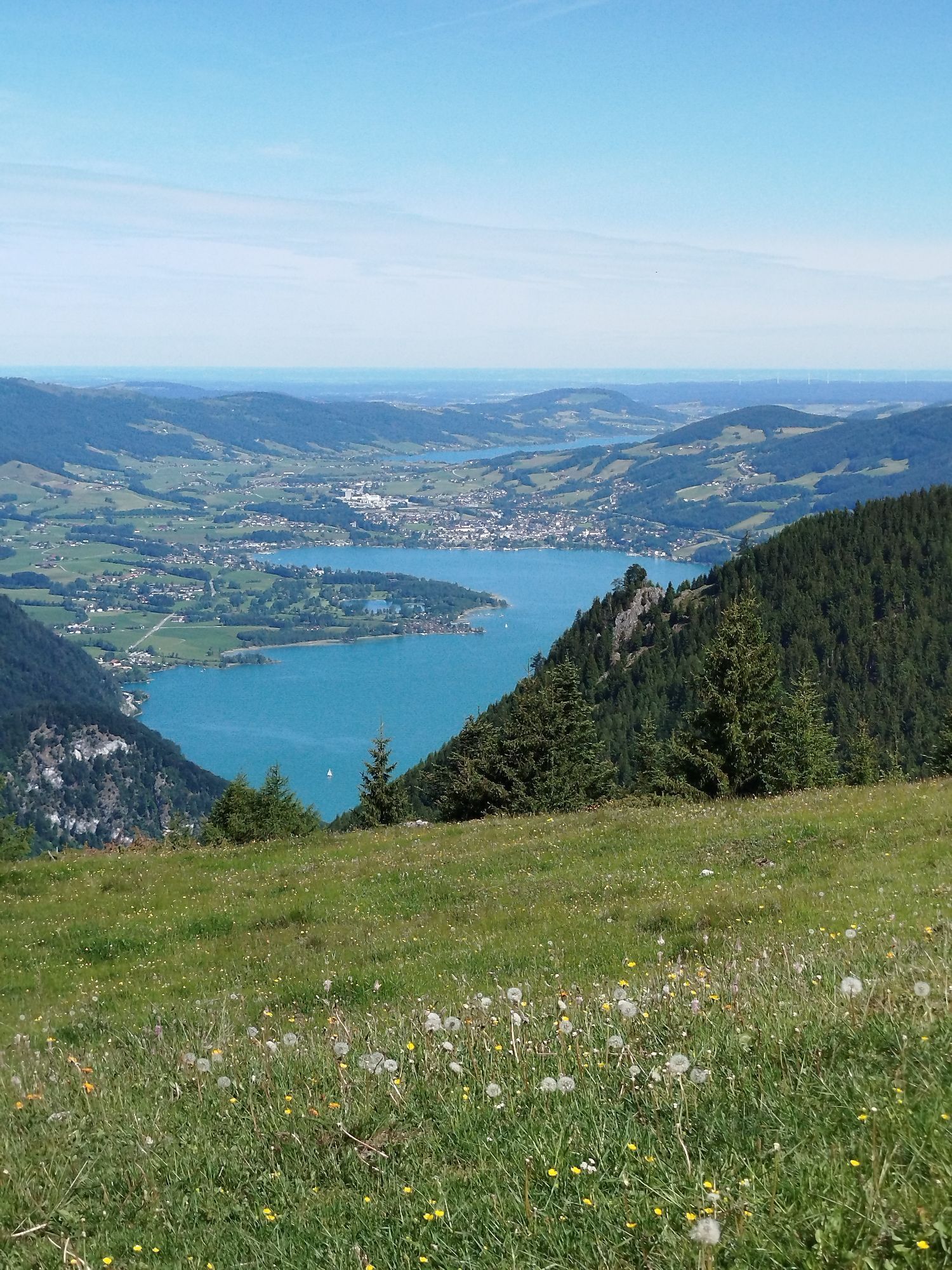
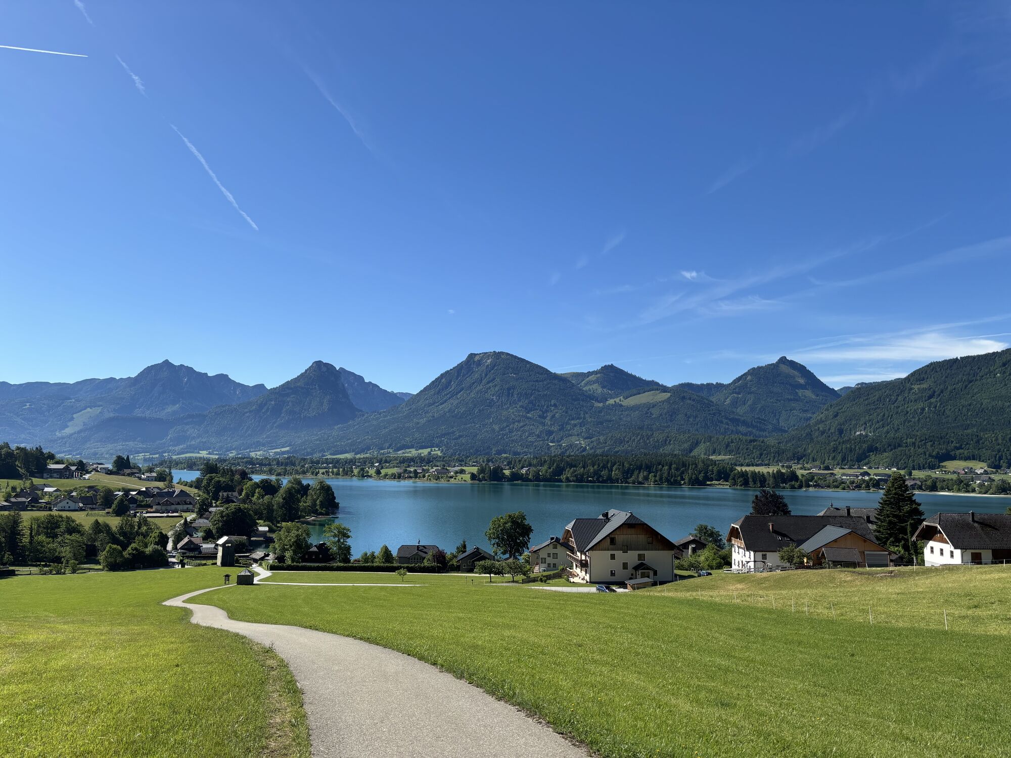
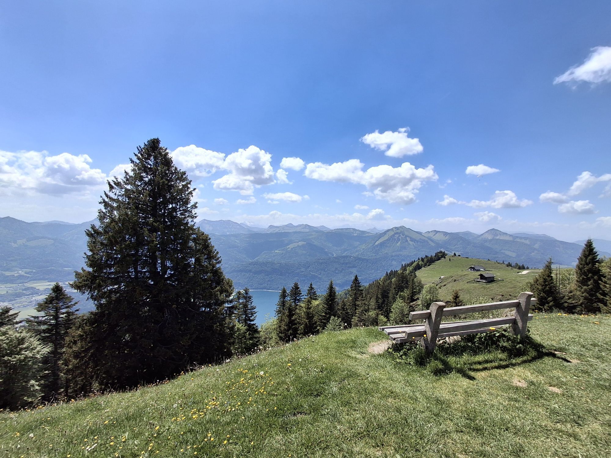
Over four days, you hike through the most beautiful landscape in the Salzkammergut.
Per stage, you hike 5 – 7 hours, and all this without luggage.
The highlights of the route are the Wolfgangsee boat trip,...
Over four days, you hike through the most beautiful landscape in the Salzkammergut.
Per stage, you hike 5 – 7 hours, and all this without luggage.
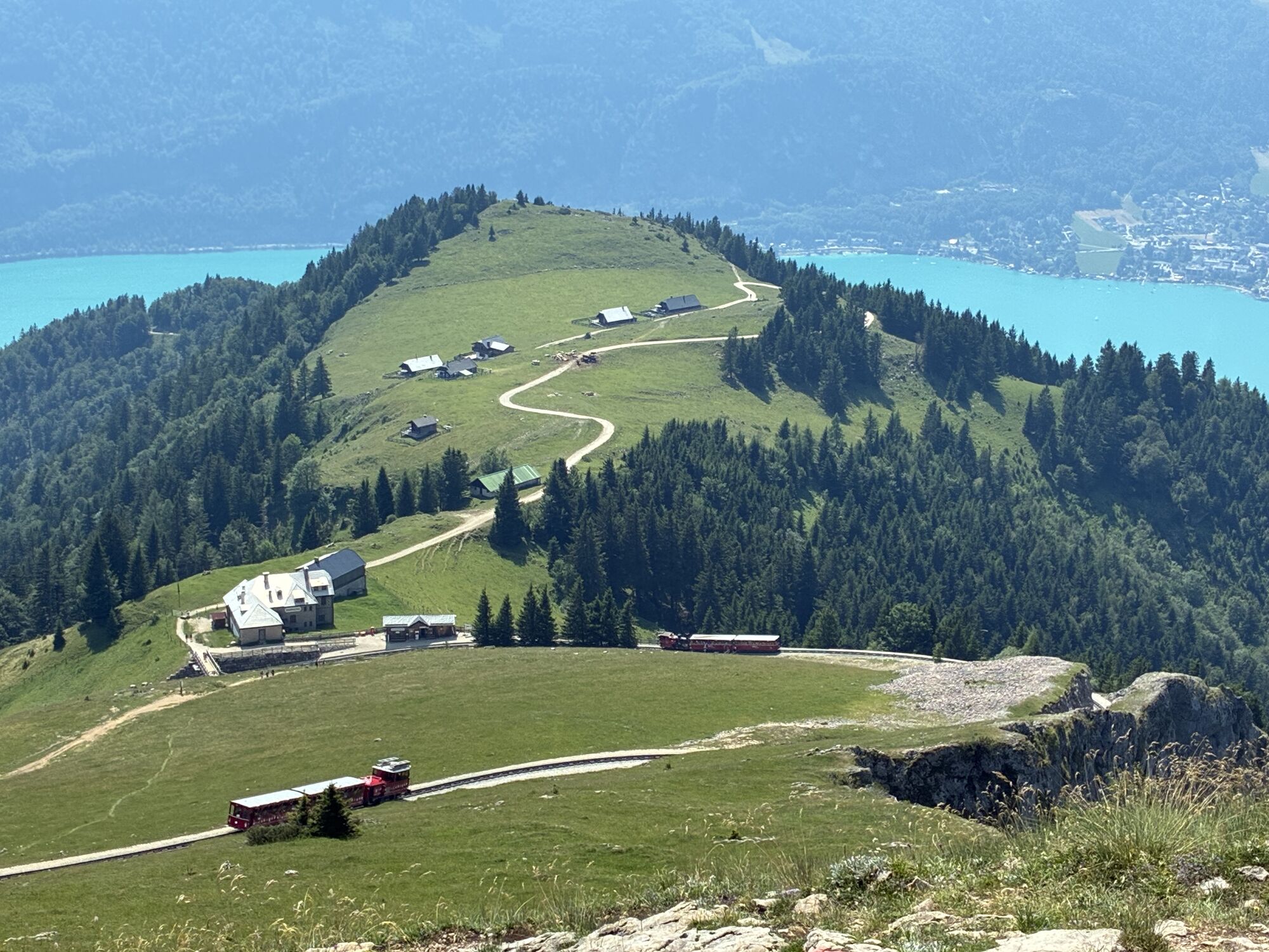
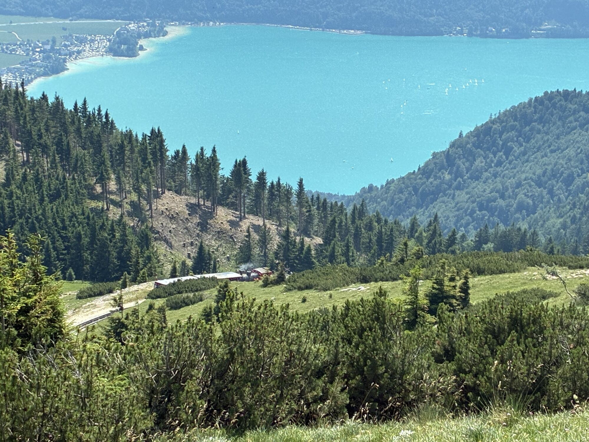
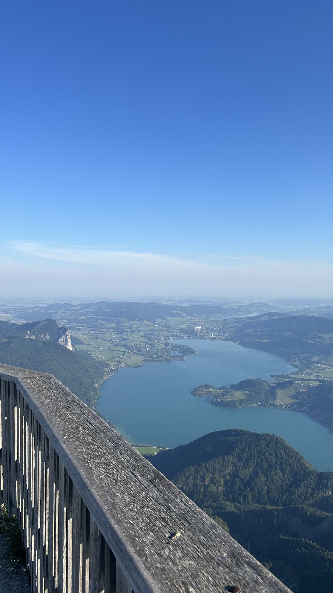
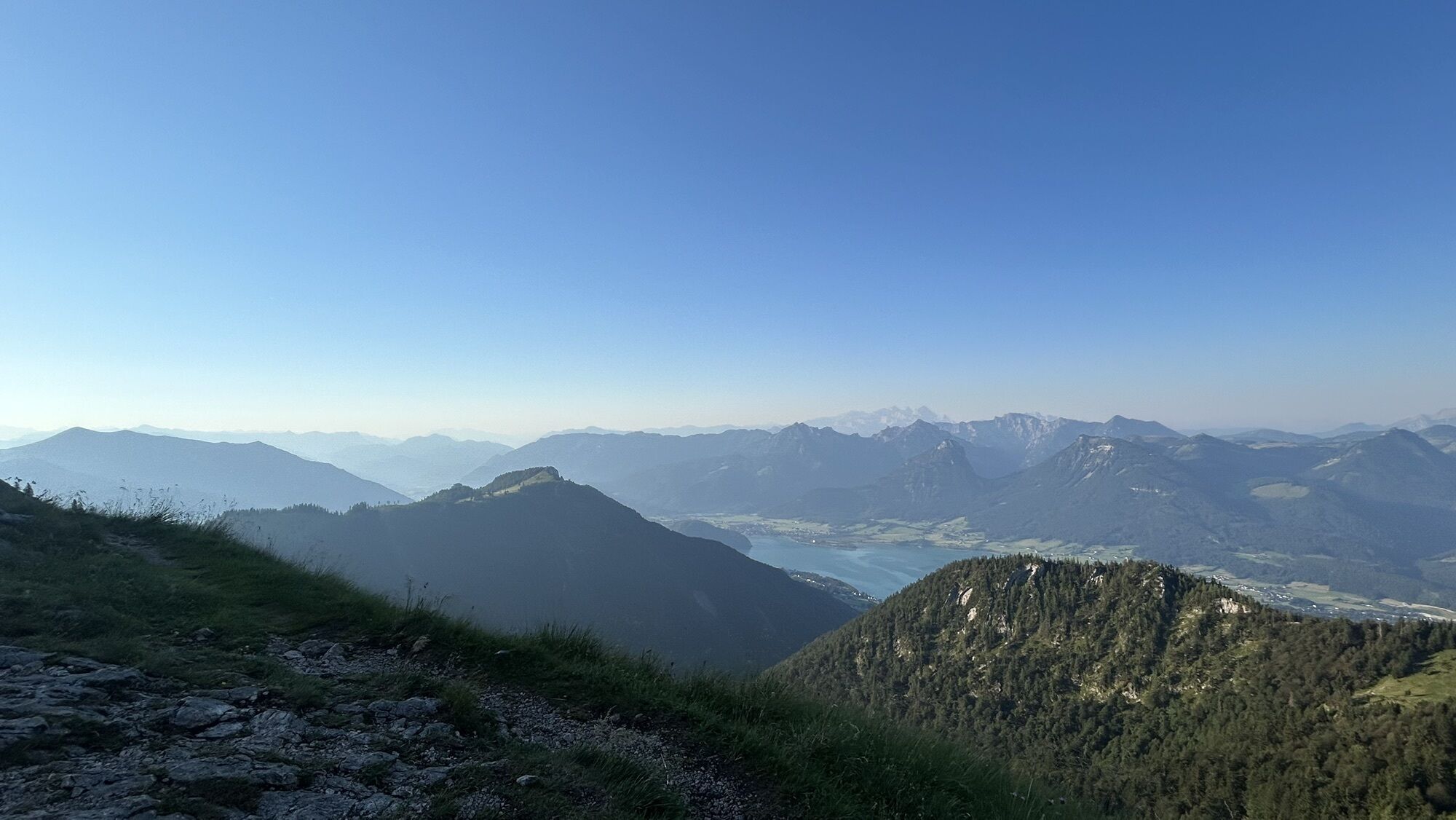
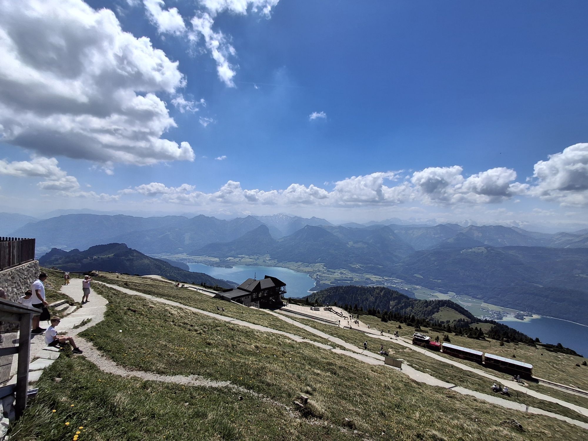
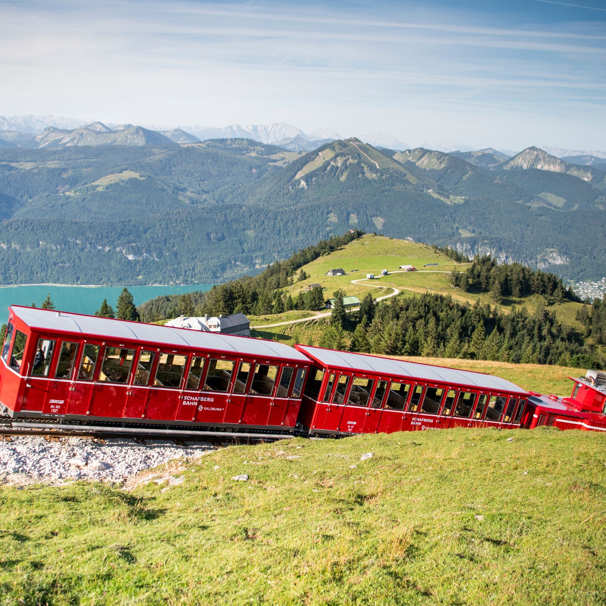
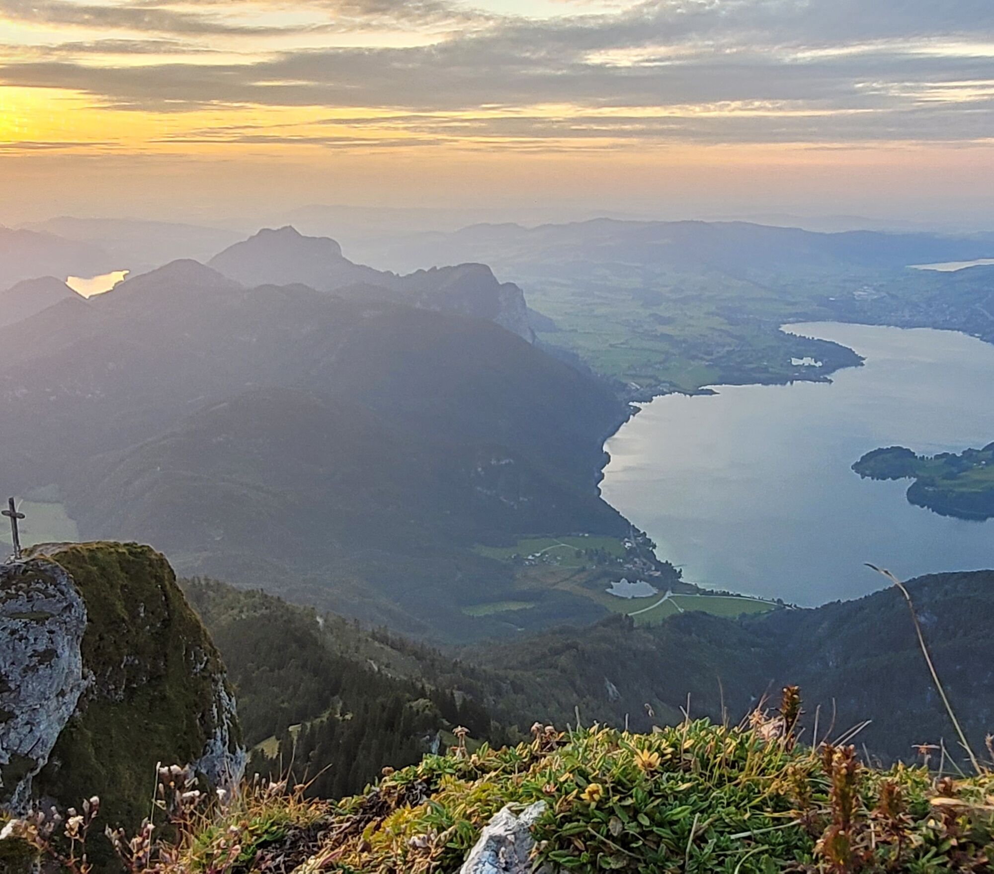
The highlights of the route are the Wolfgangsee boat trip, the sunrise on Schafberg, and the historic cog railway.
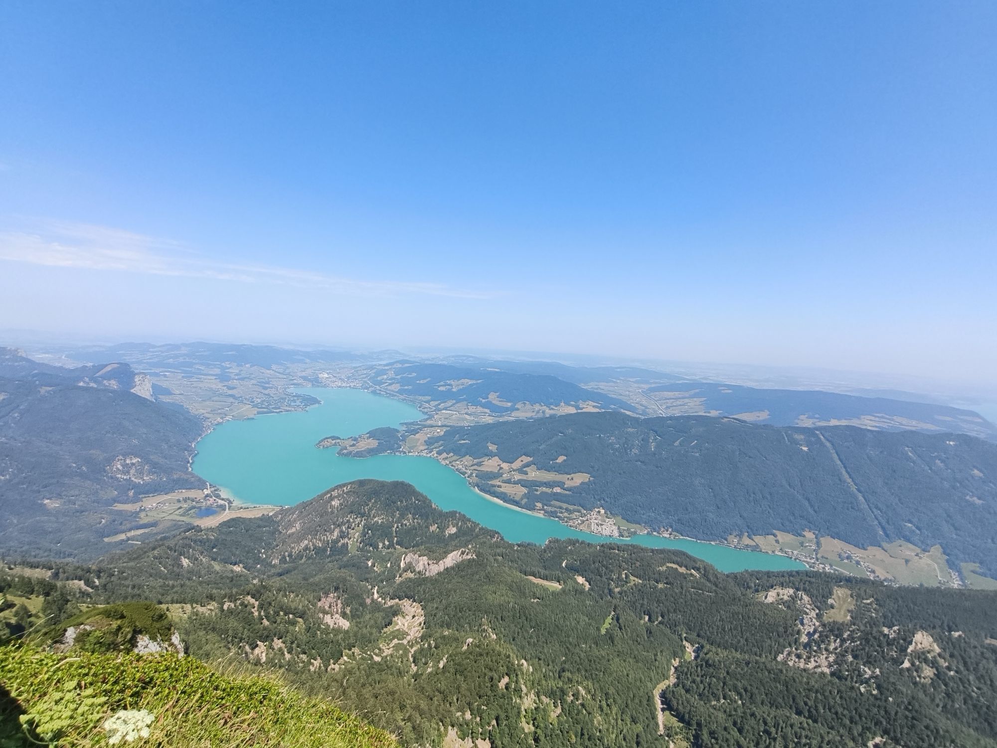
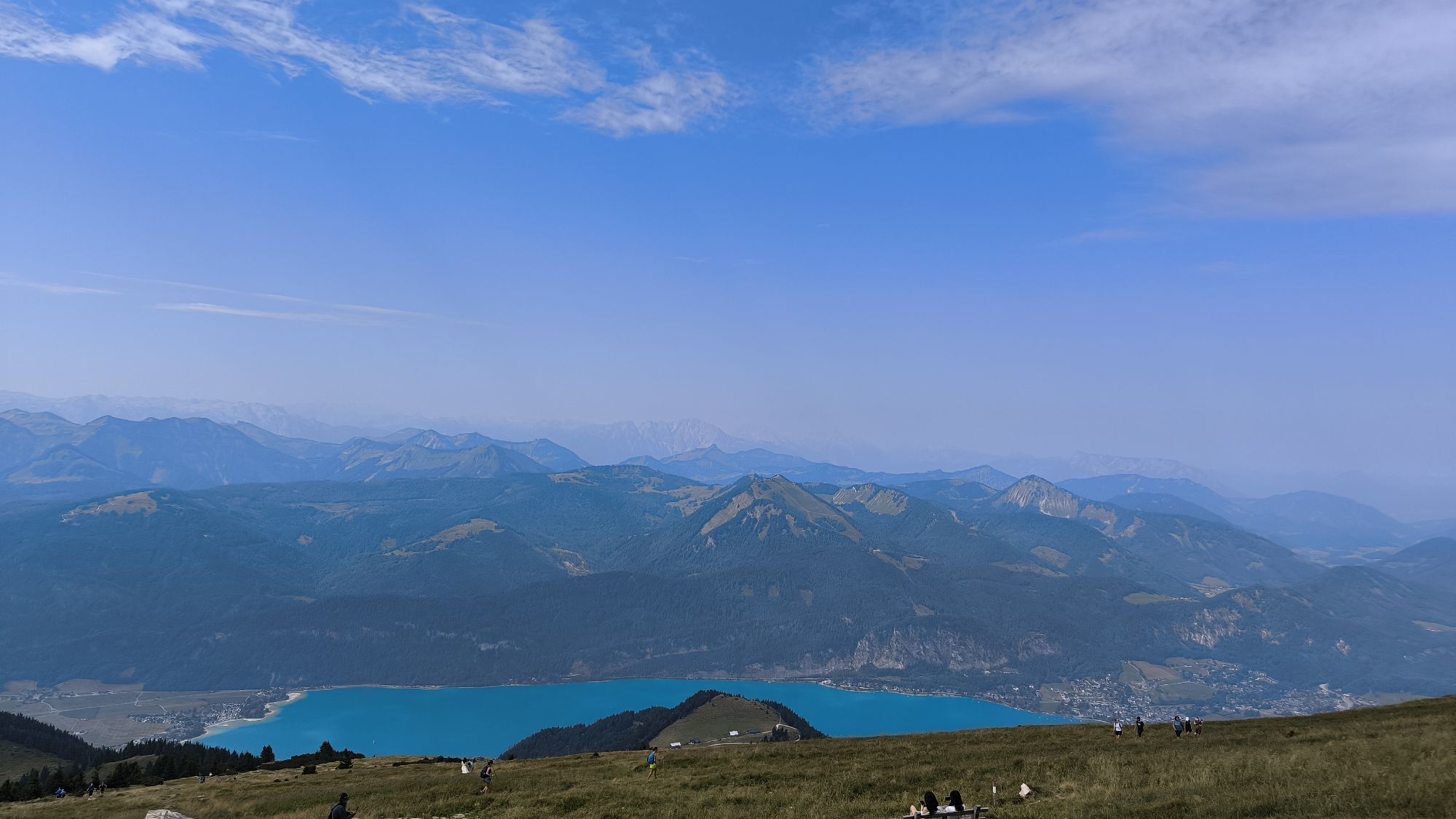
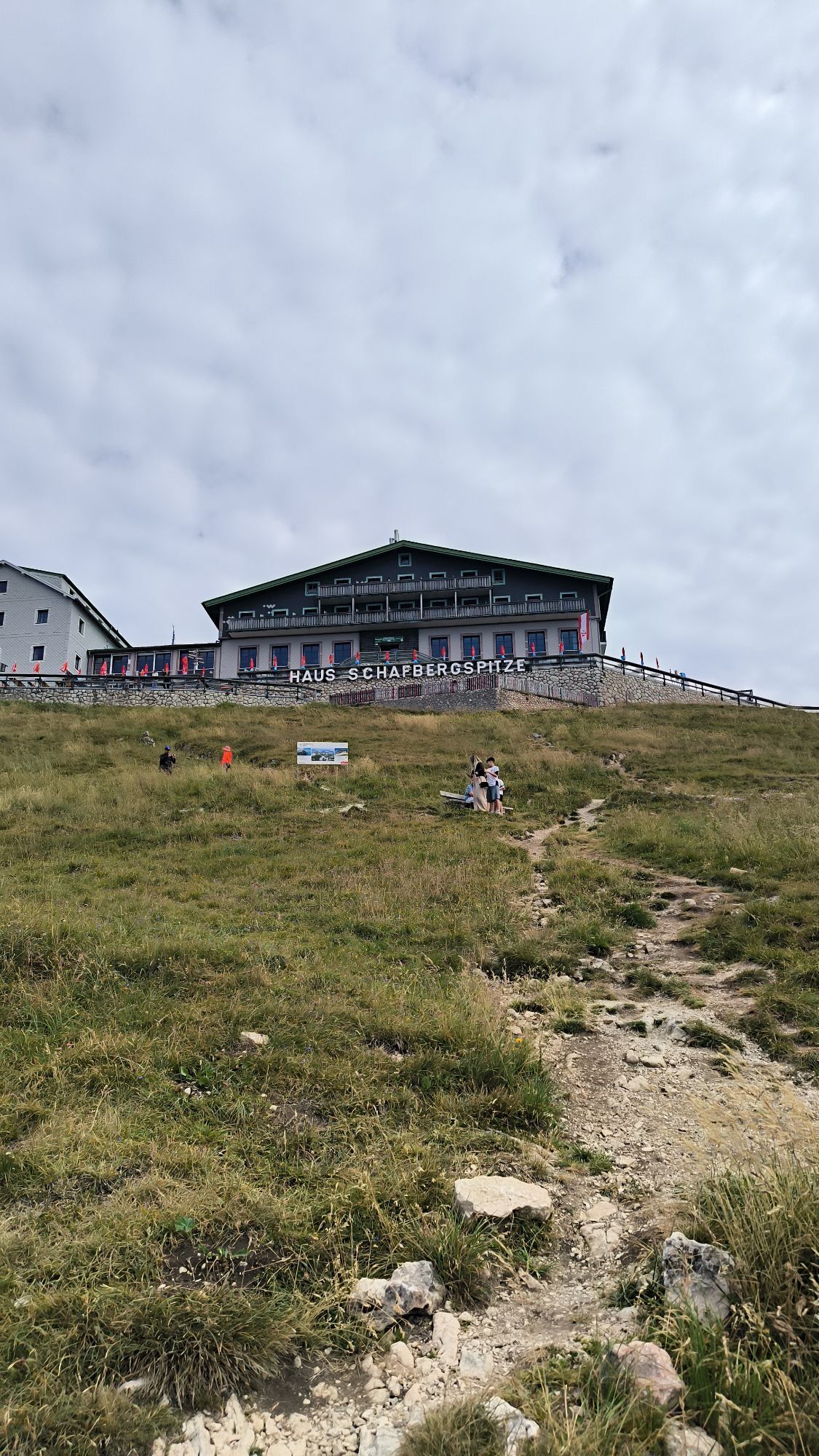
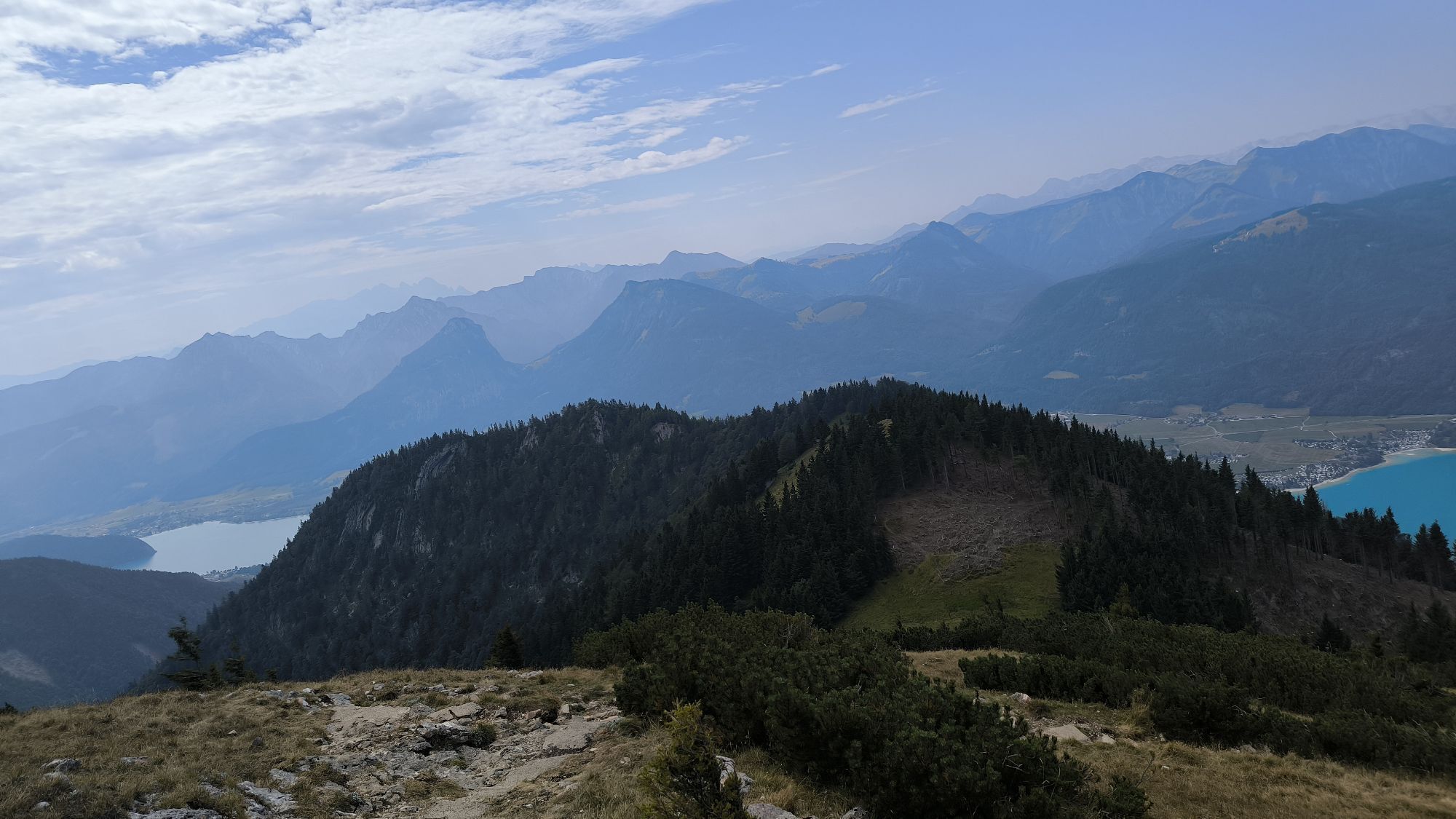
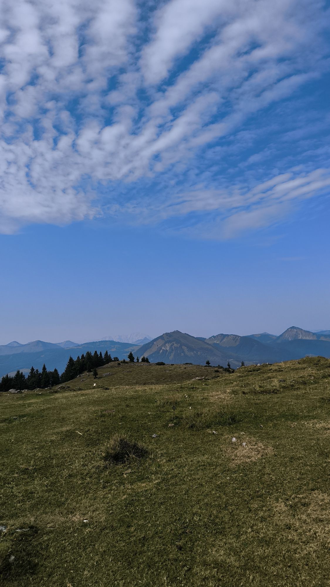
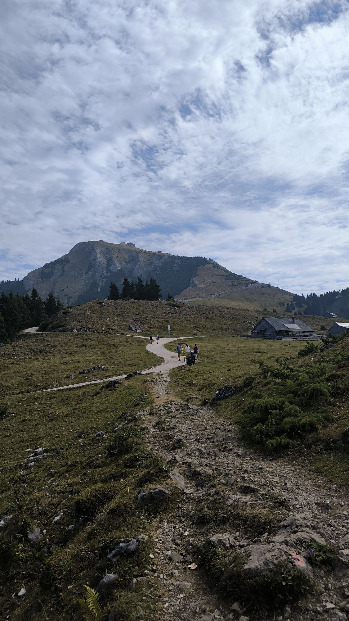
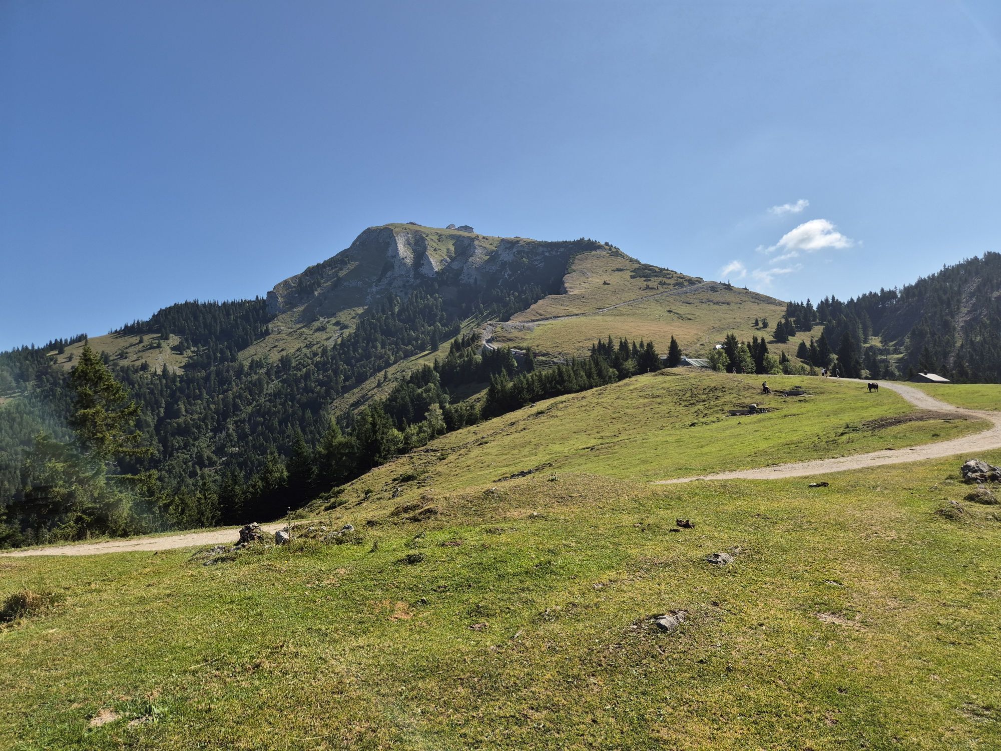
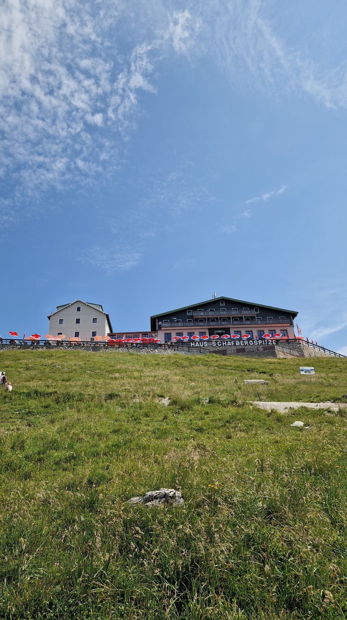
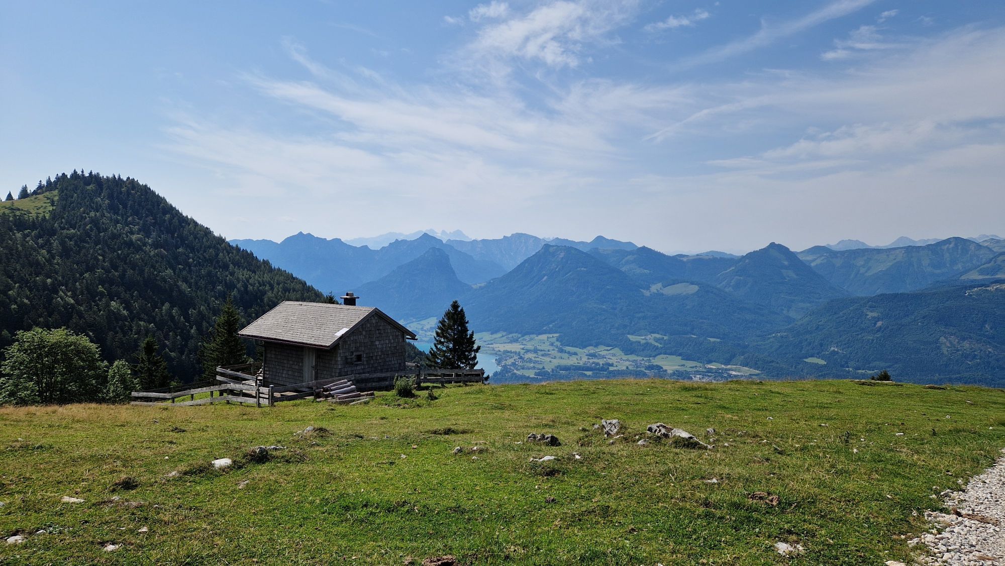
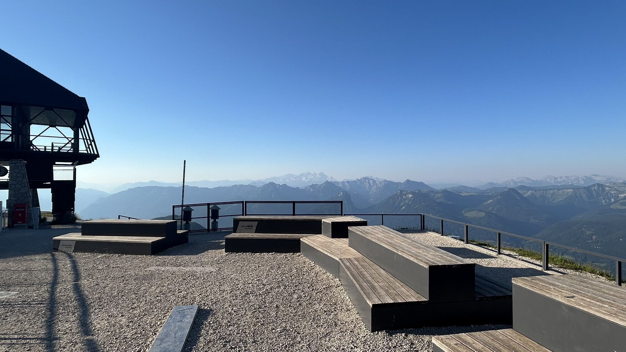
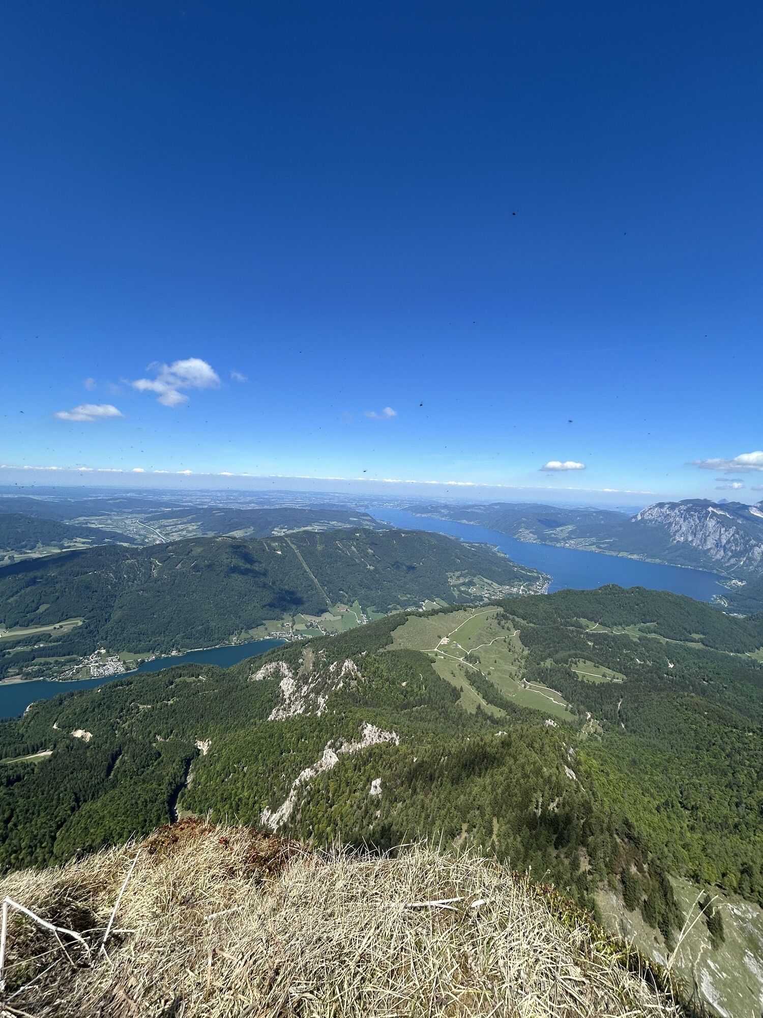
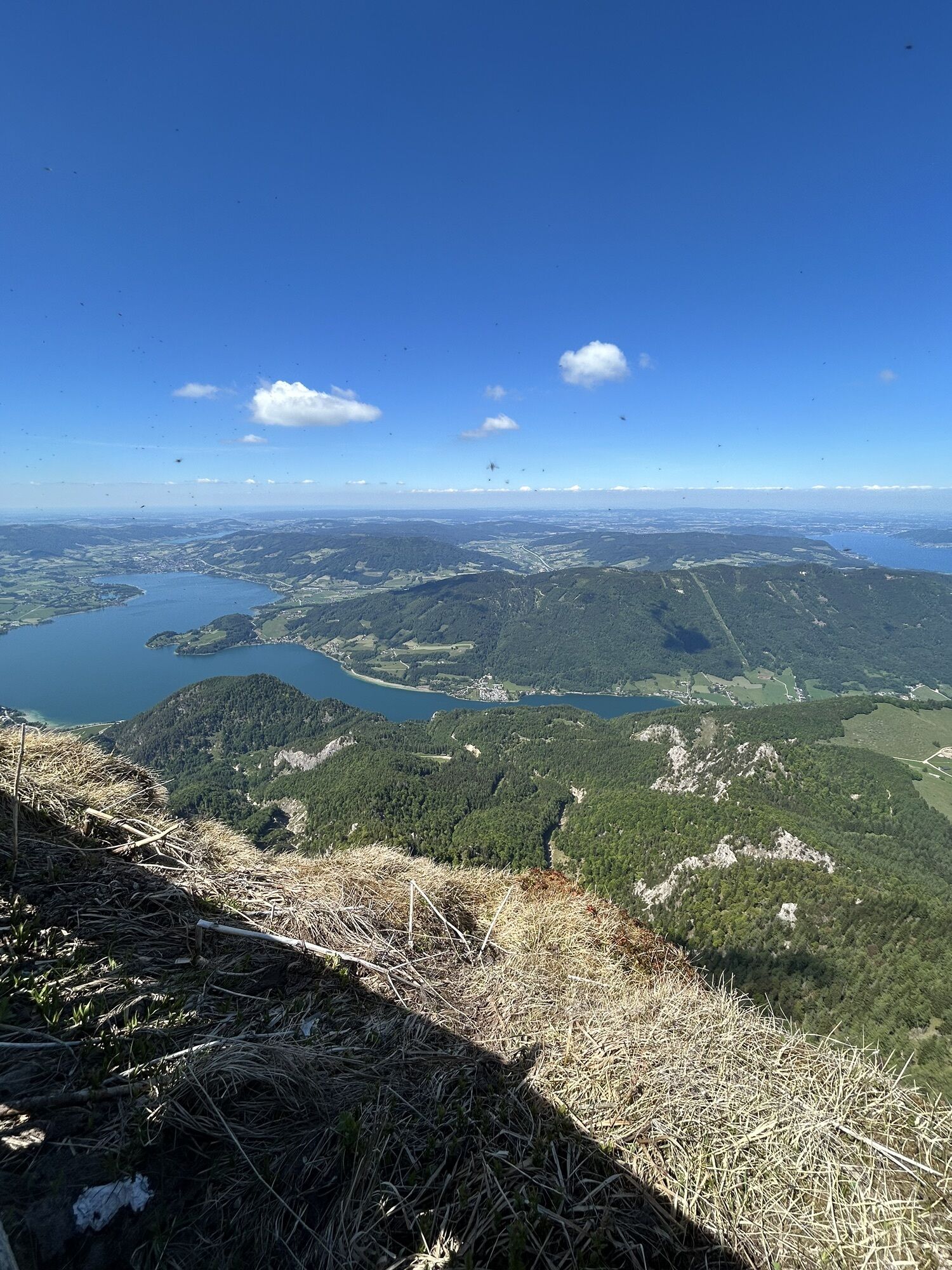
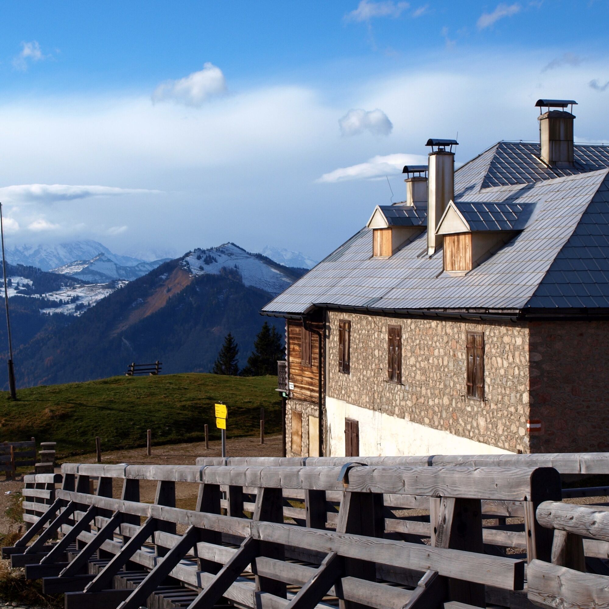
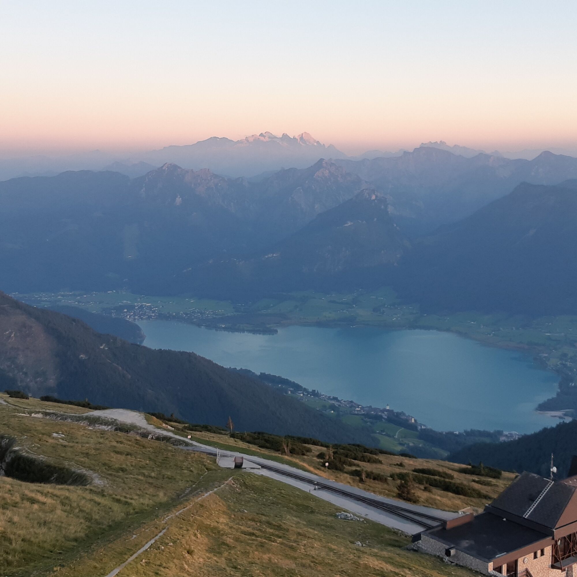
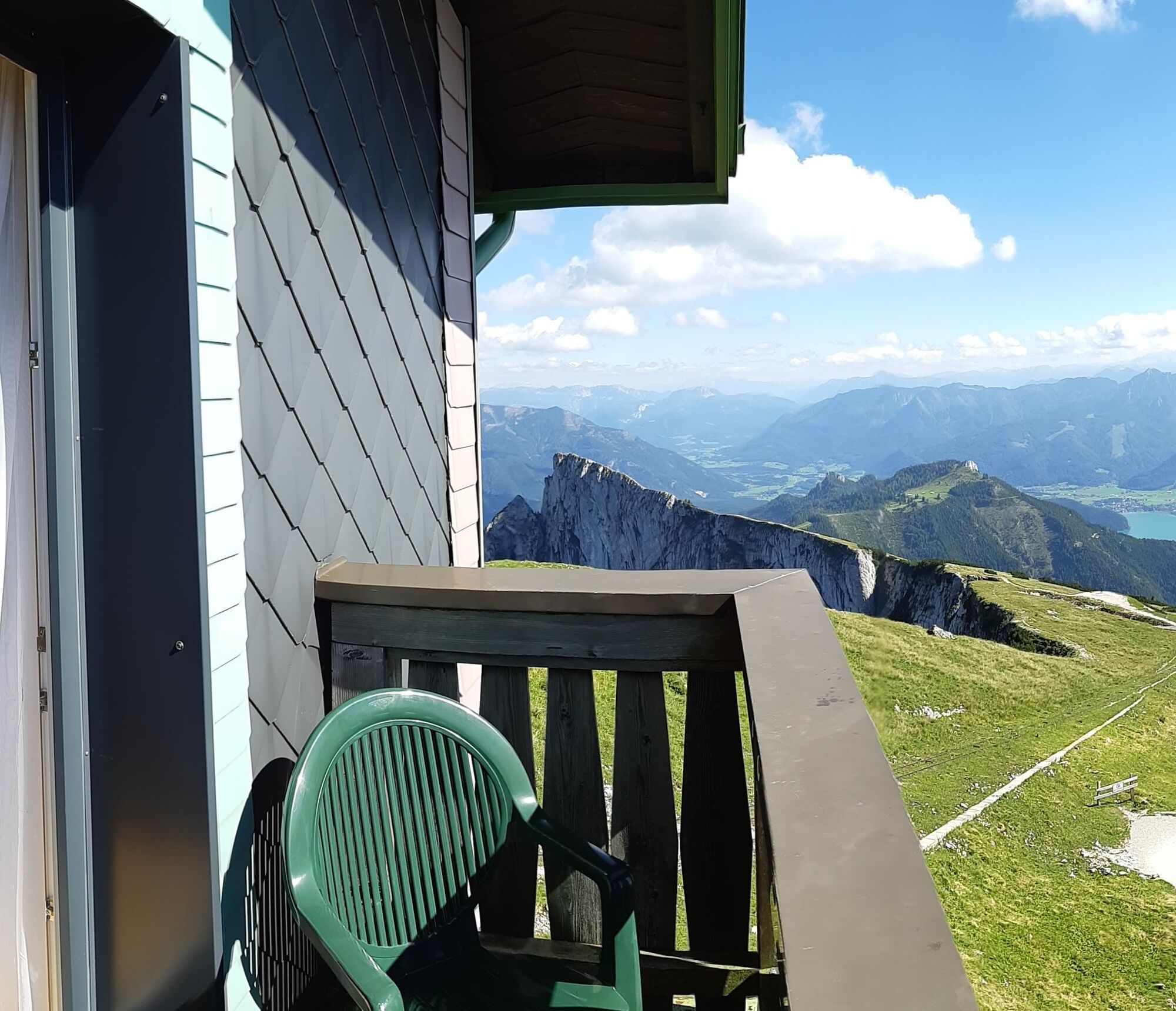
The 2nd stage starts comfortably with a boat trip and then leads via the pilgrimage path over the Falkenstein almost to St. Wolfgang. Over beautiful hiking paths and trails, it goes to the scenic summit of Schafberg. The highlight is the overnight stay directly at the Hotel Schafbergspitze.
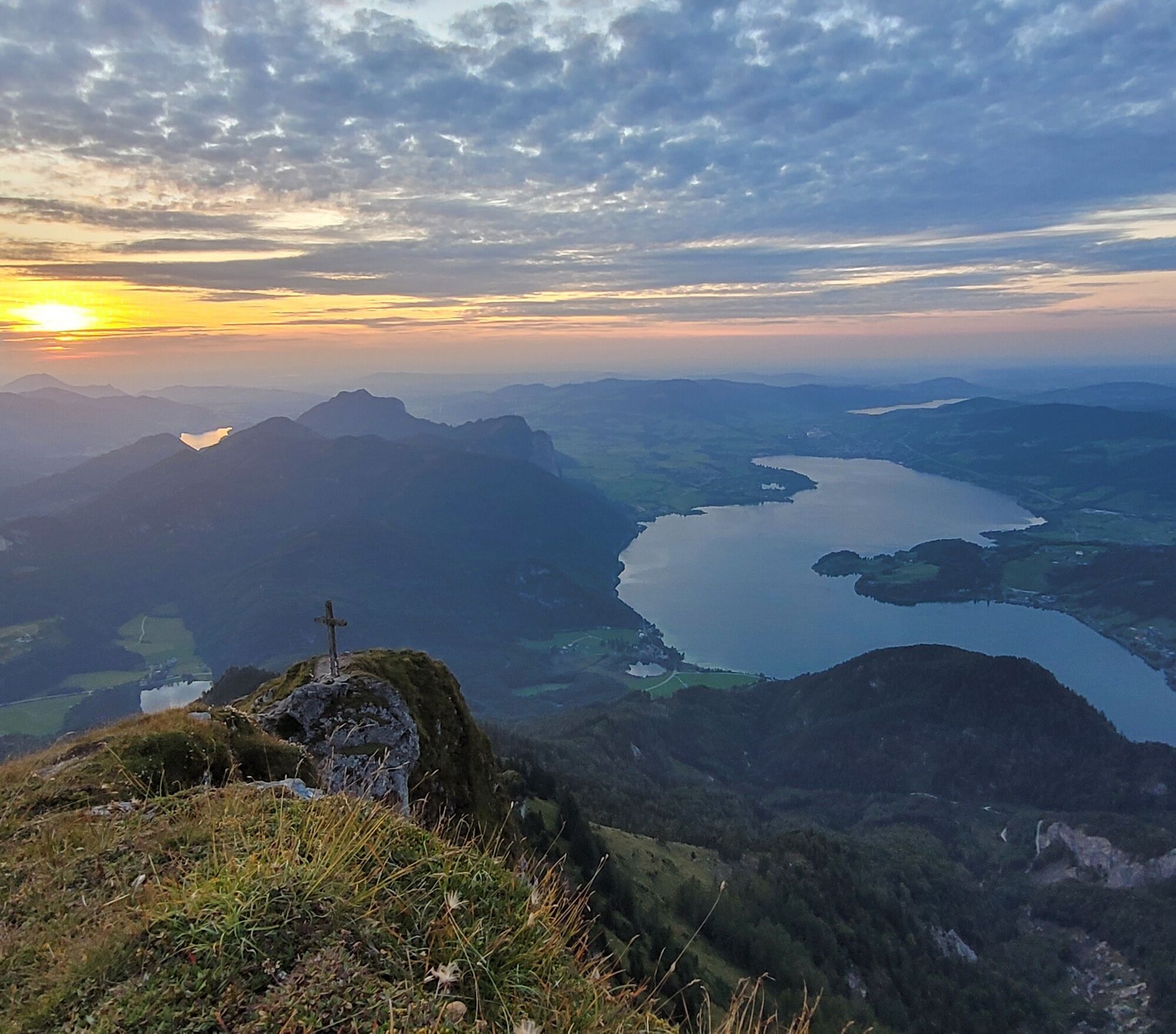
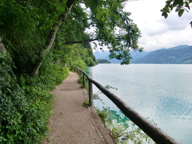
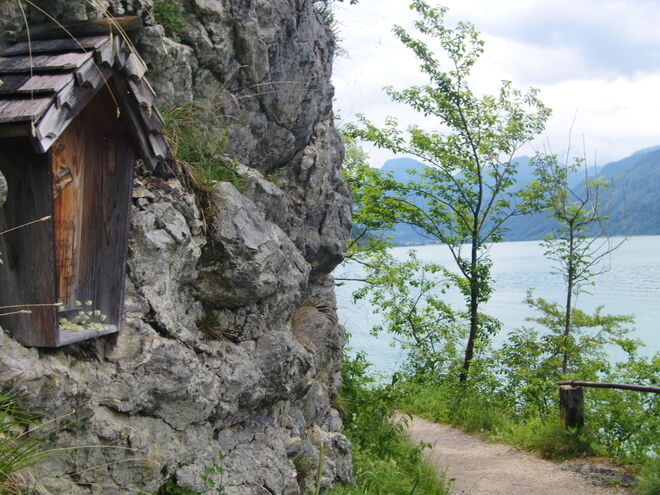
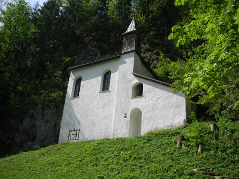
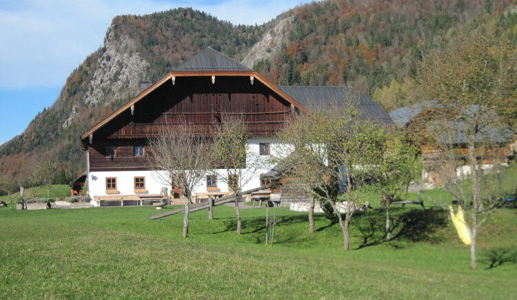
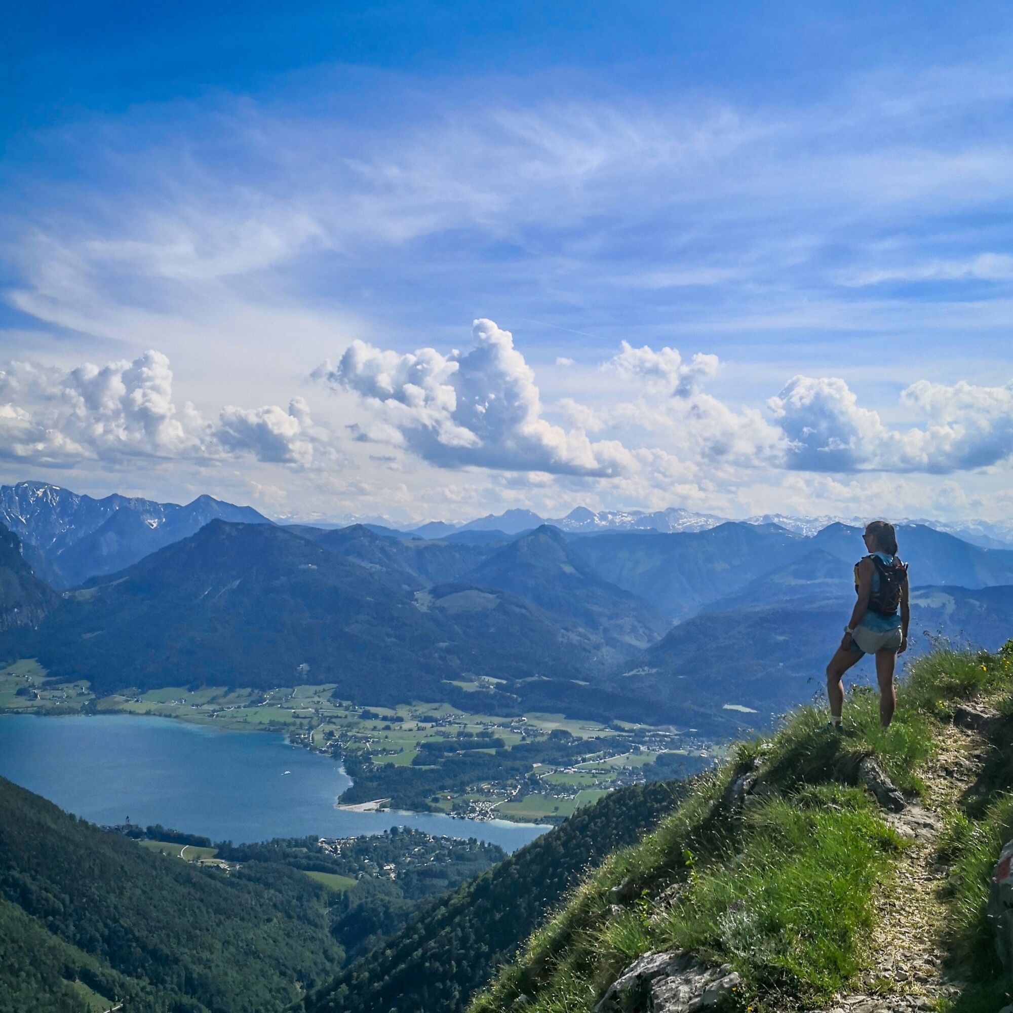
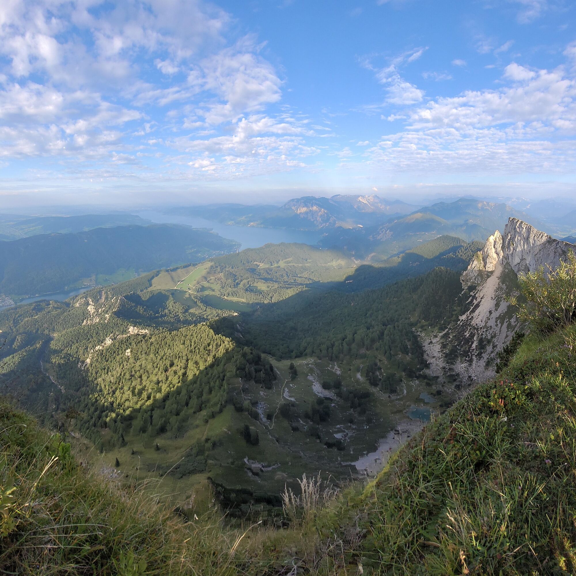
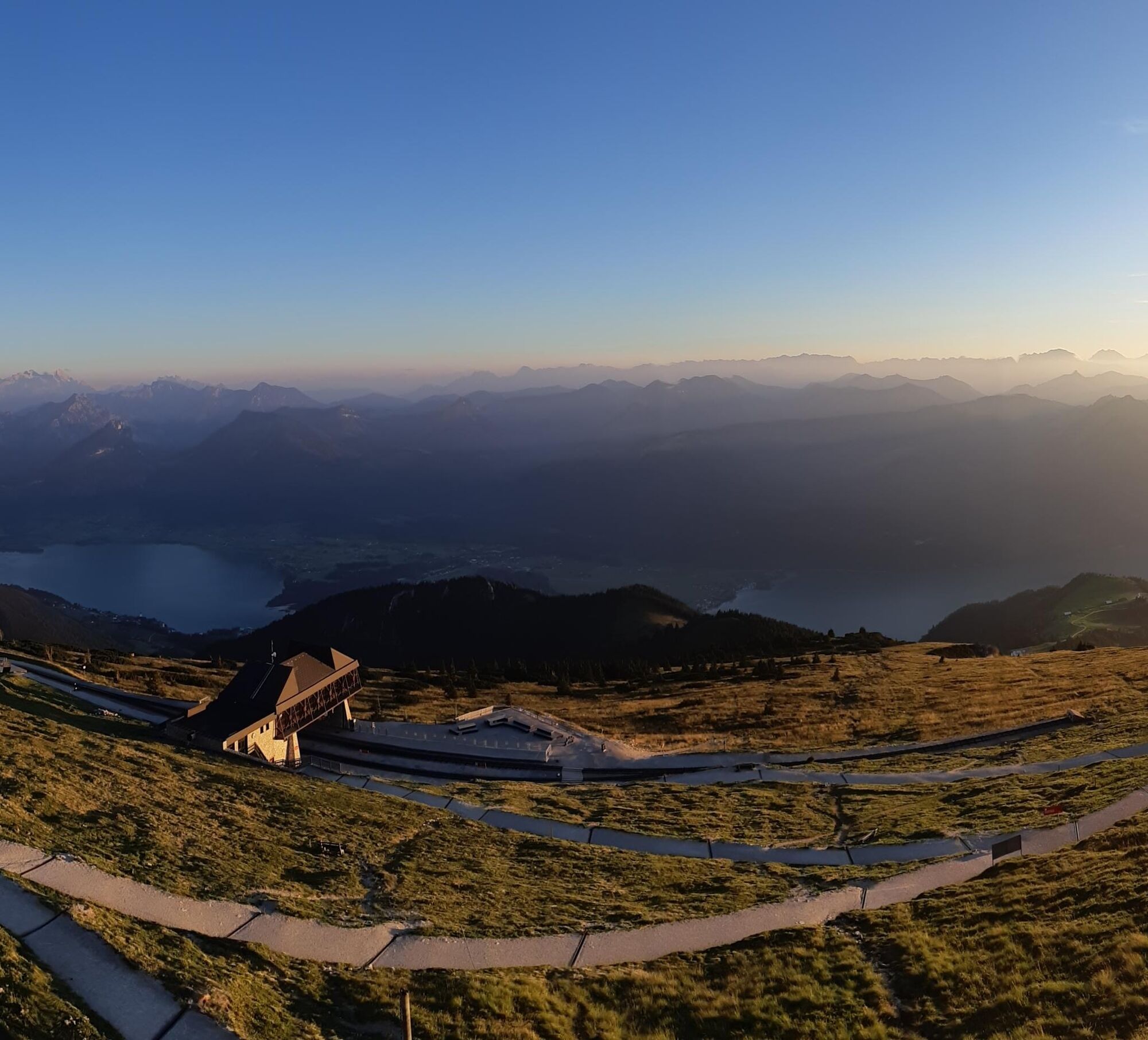
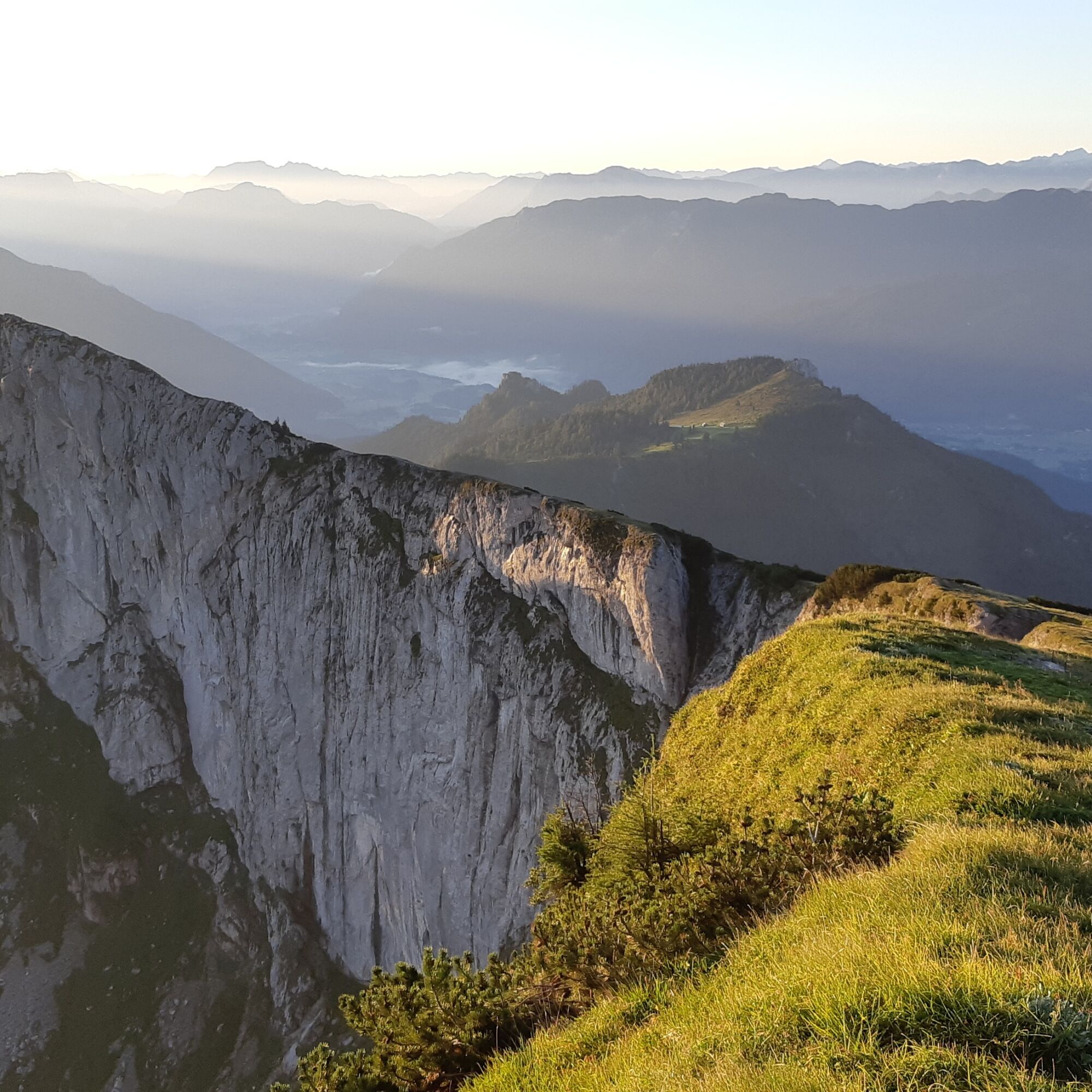
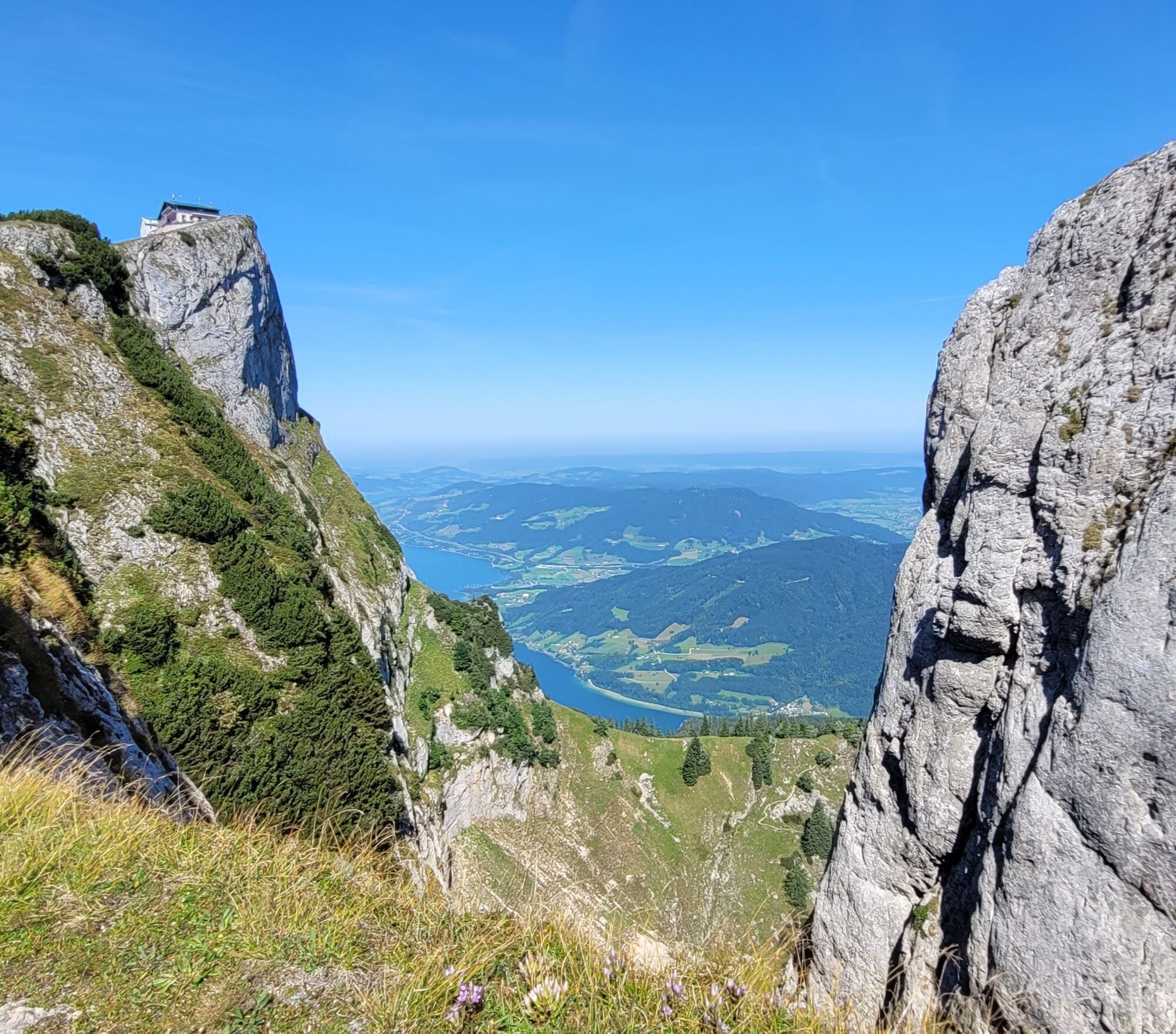
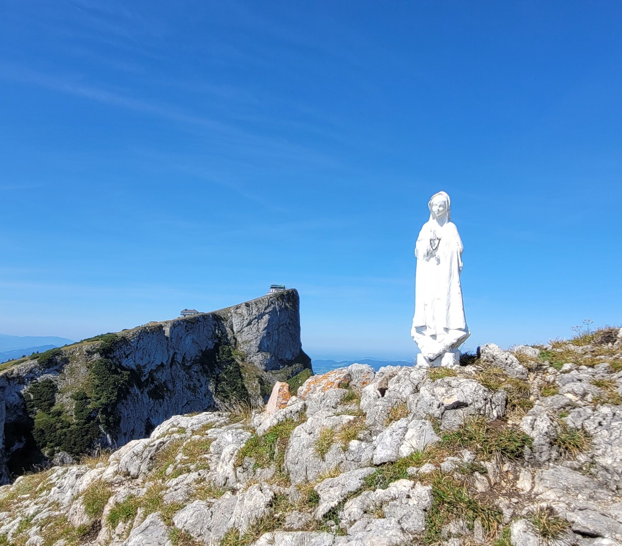

From St. Gilgen by boat, the pier is right in the center on the promenade, to Fürberg. The "Gasthof & Hotel Fürberg" with its 300-year history is a gem of hospitality on Wolfgangsee.
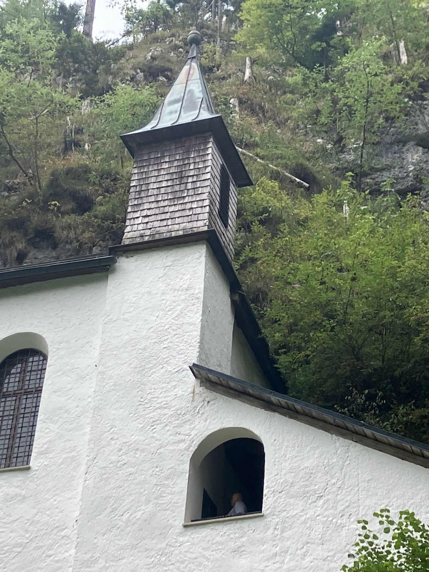
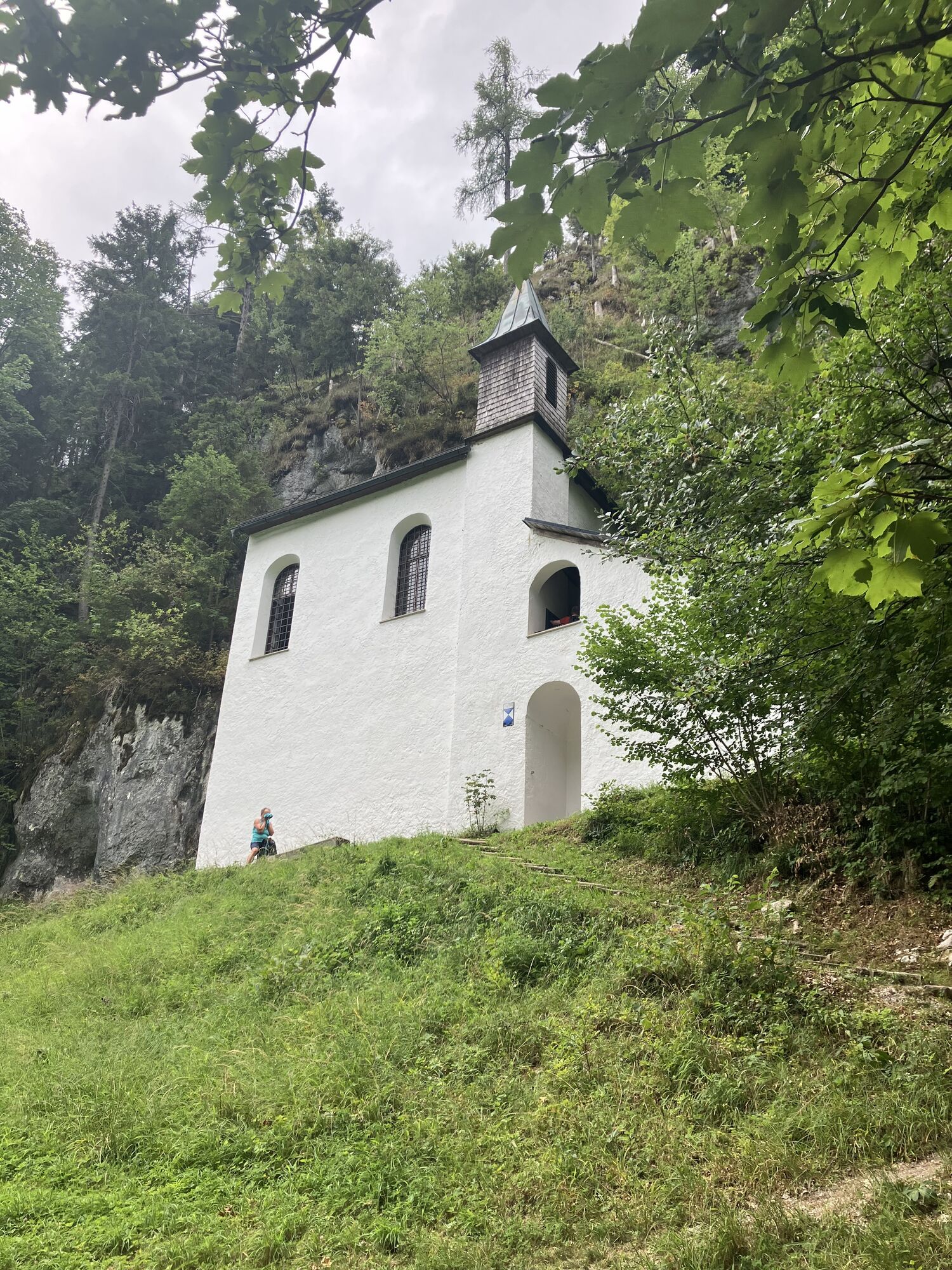
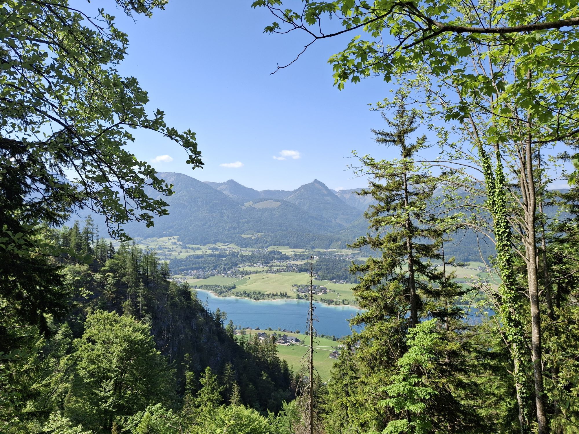
300 m to the right along the lake, then left, the pilgrimage path leads past charming memorial chapels to the pilgrimage chapel on the Falkensteinwand.
Along the Hochwand, it goes towards Ried until you come to a junction before reaching the first houses. Turn left onto the Rieder Steig and reach the snack station Aschinger.
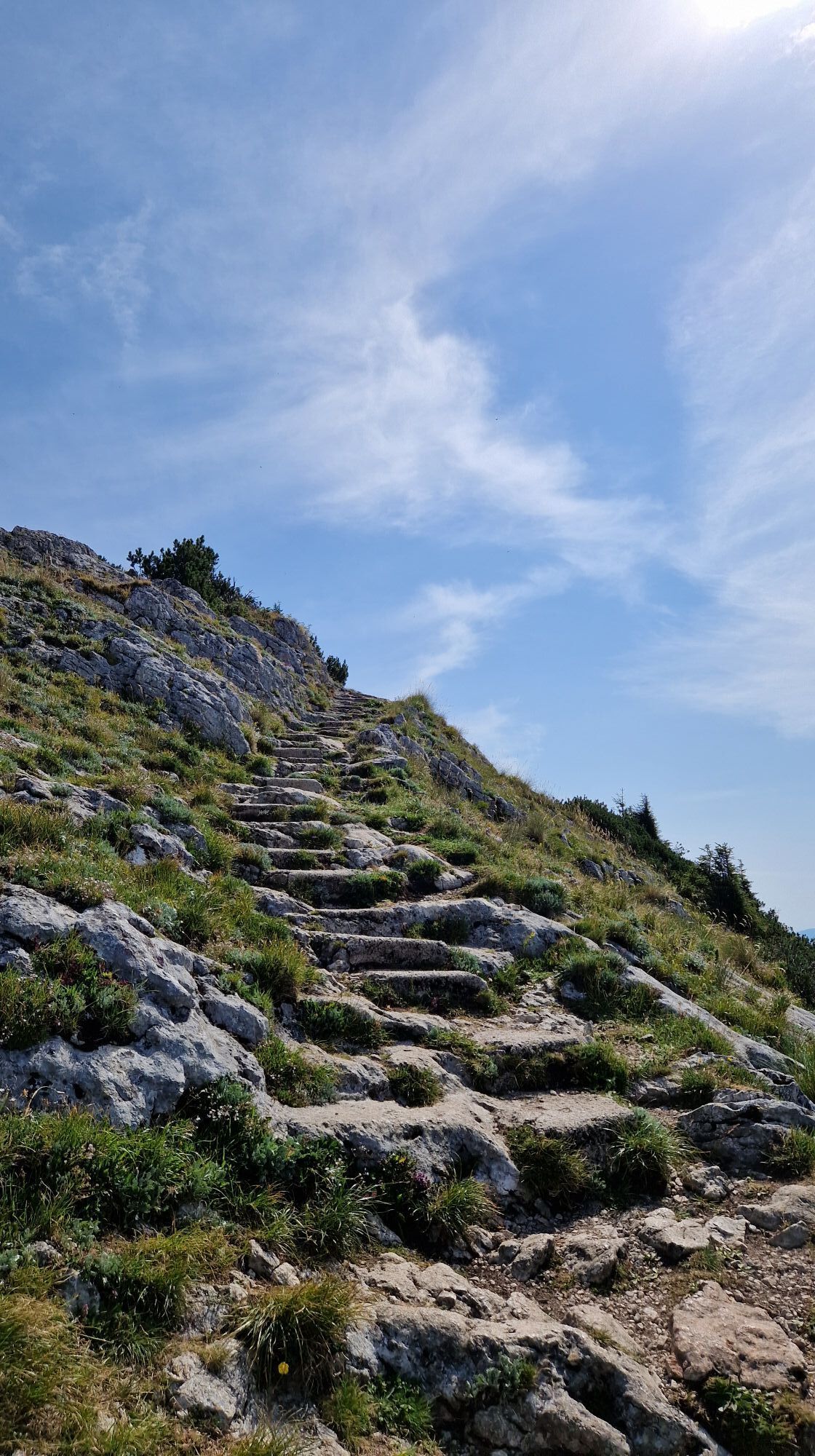
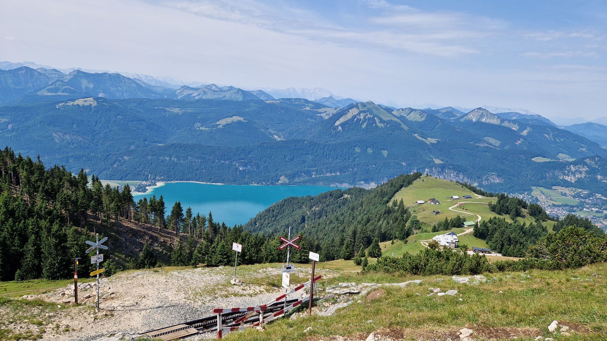
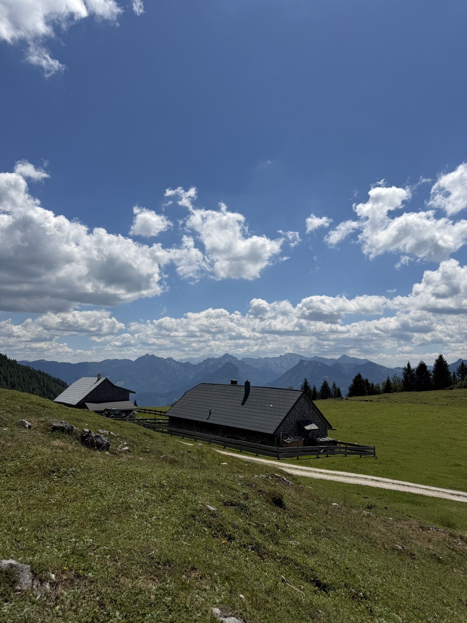
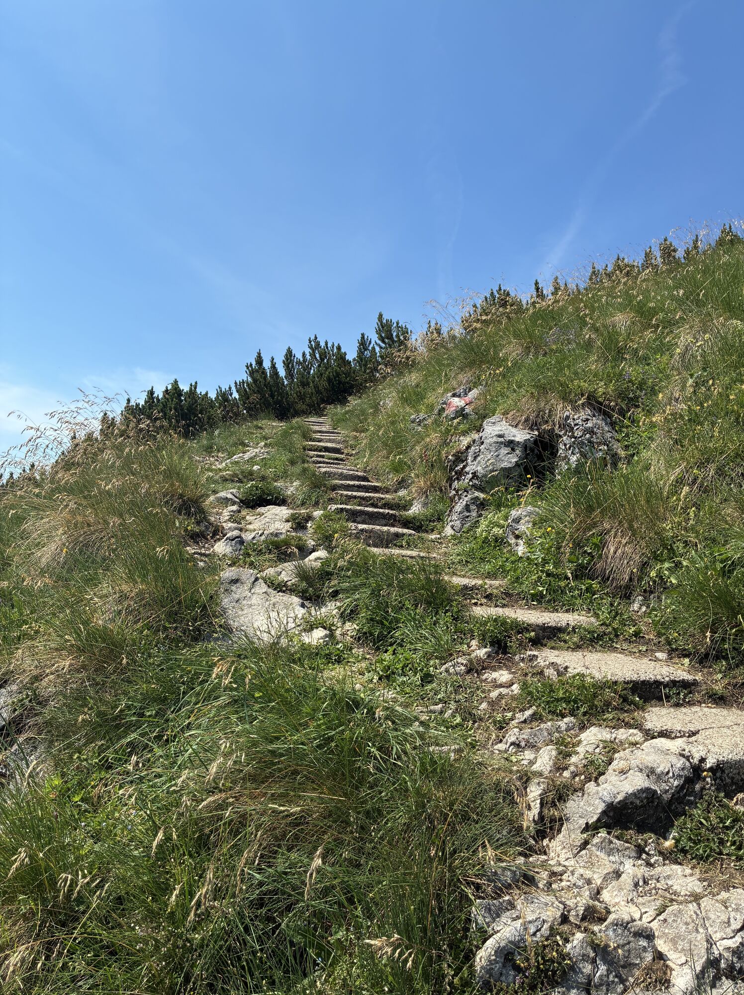
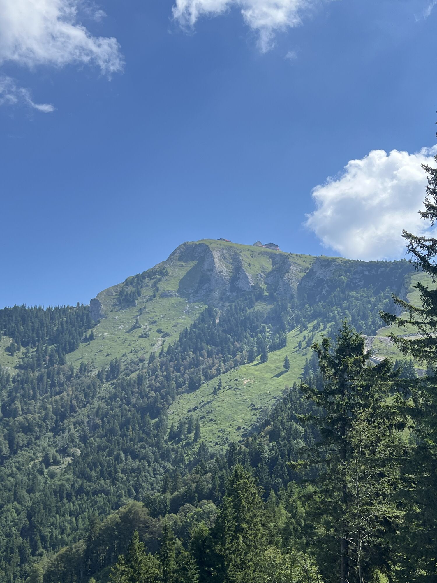
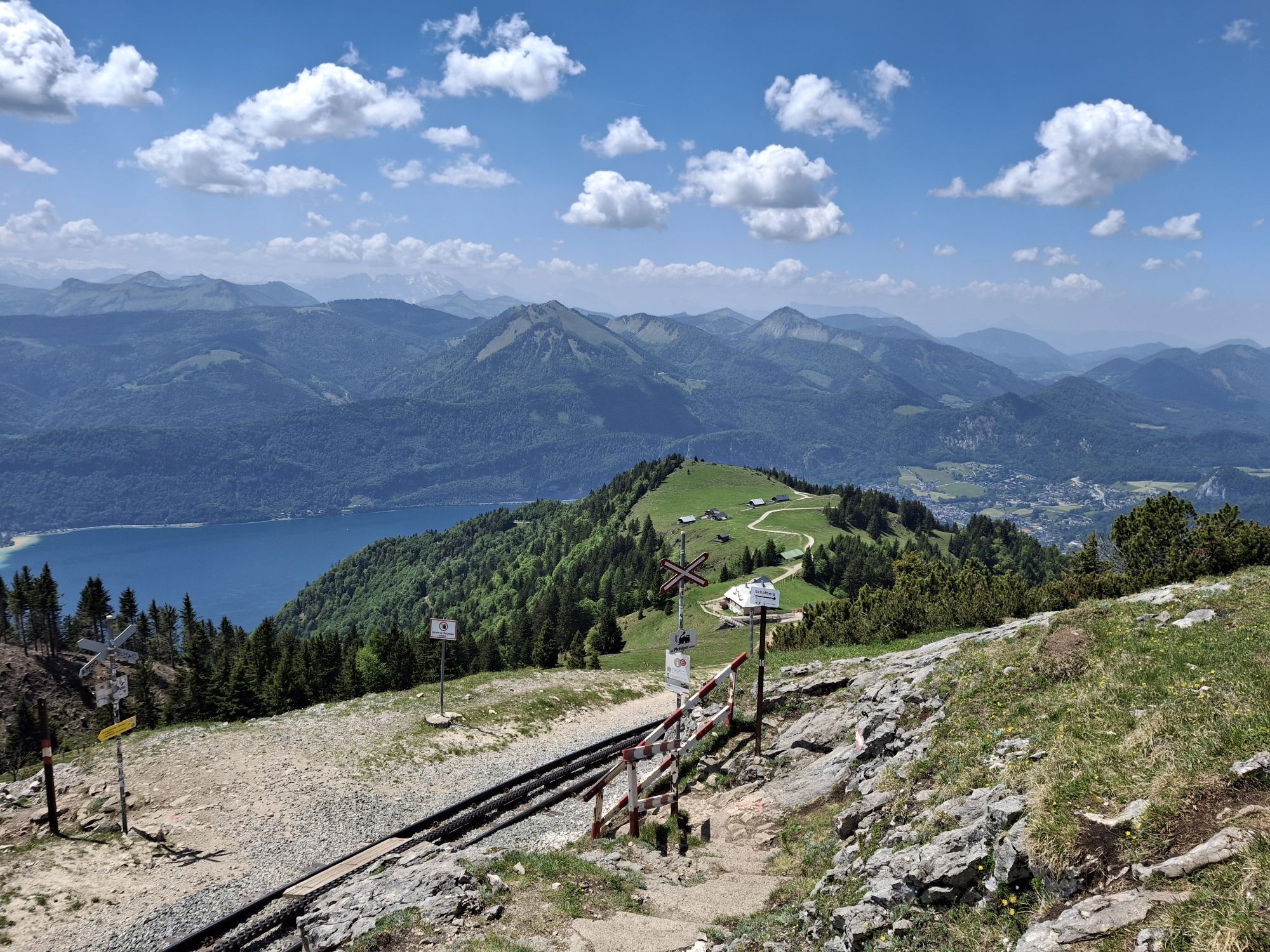
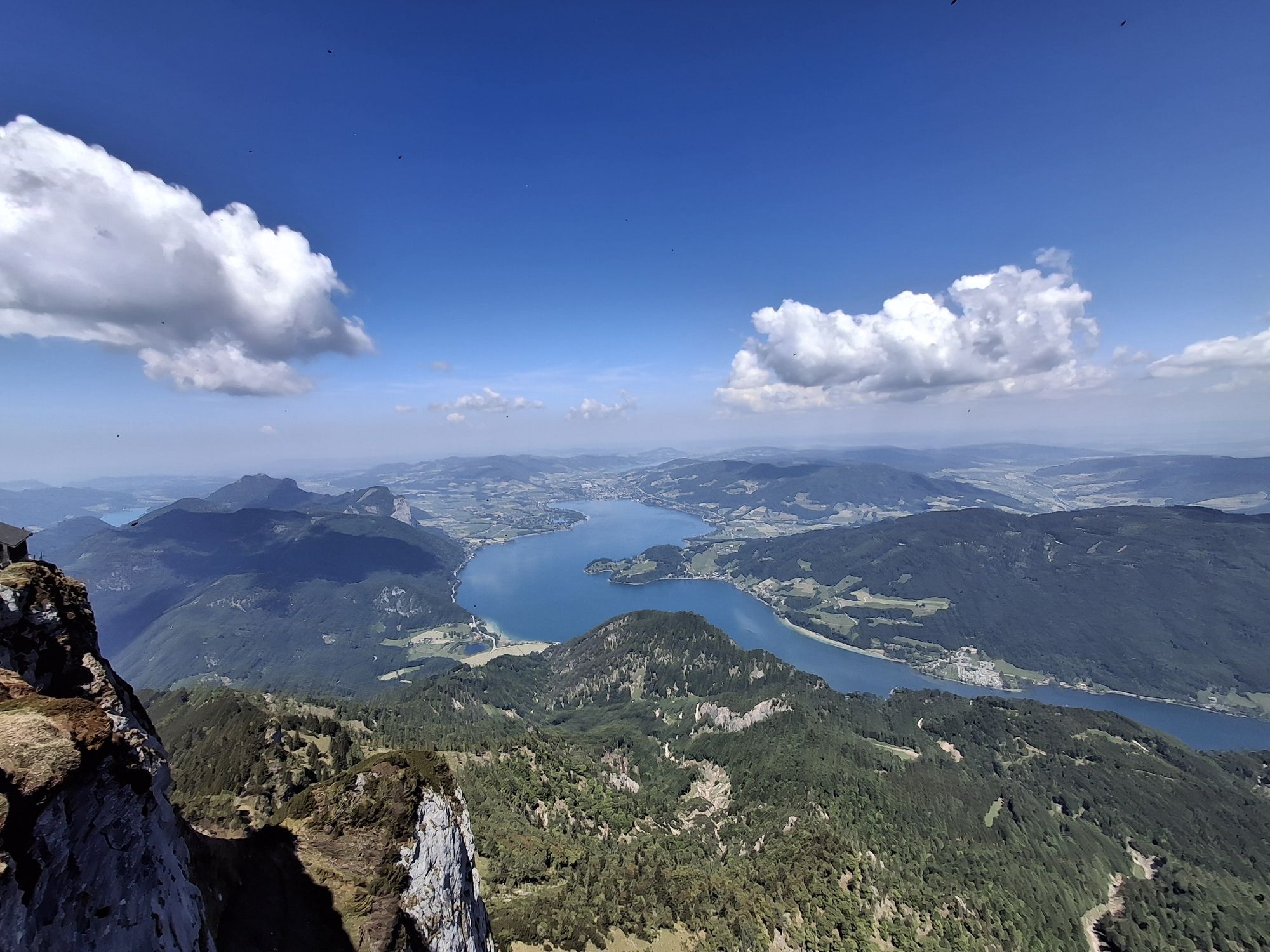
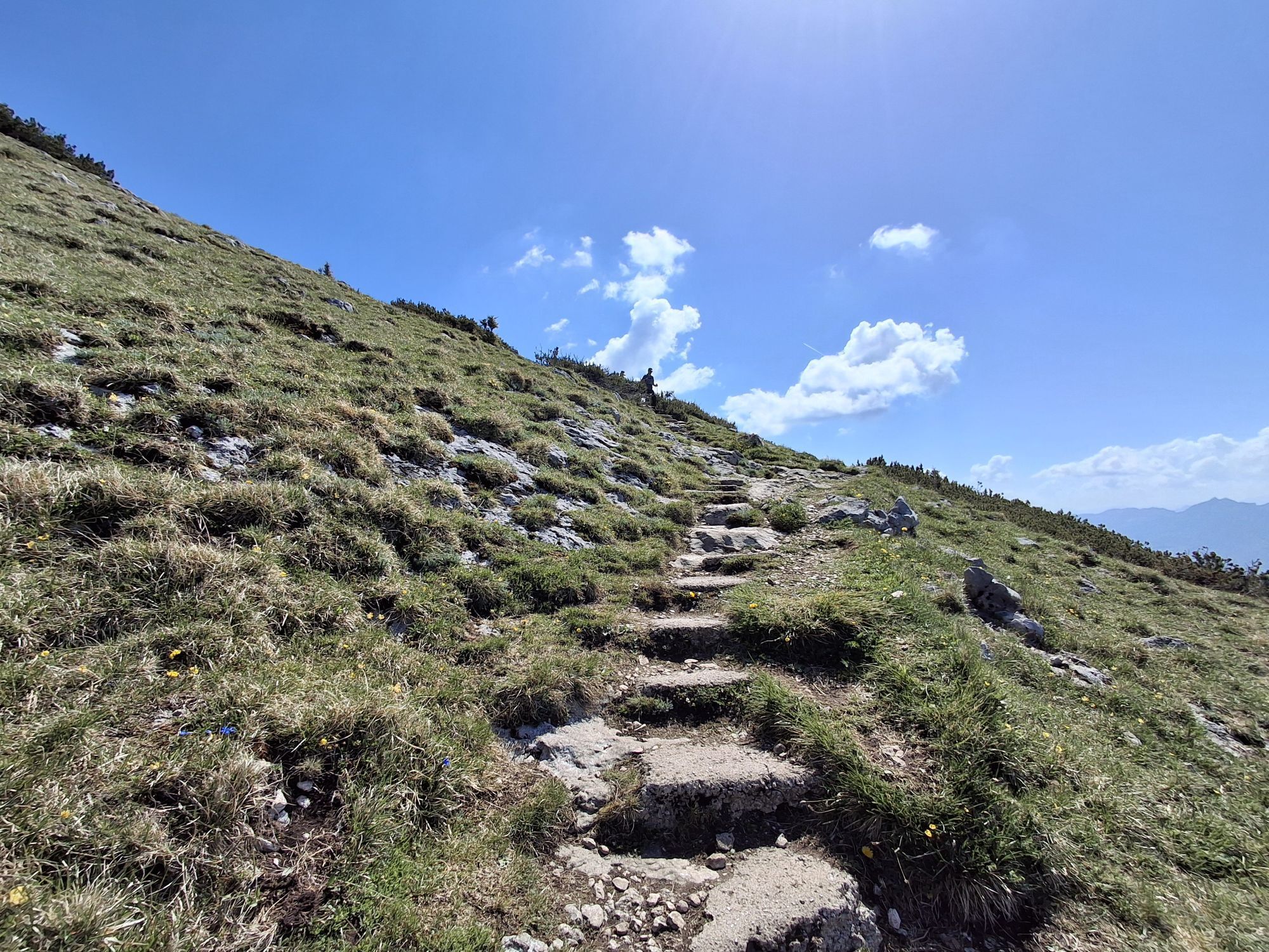
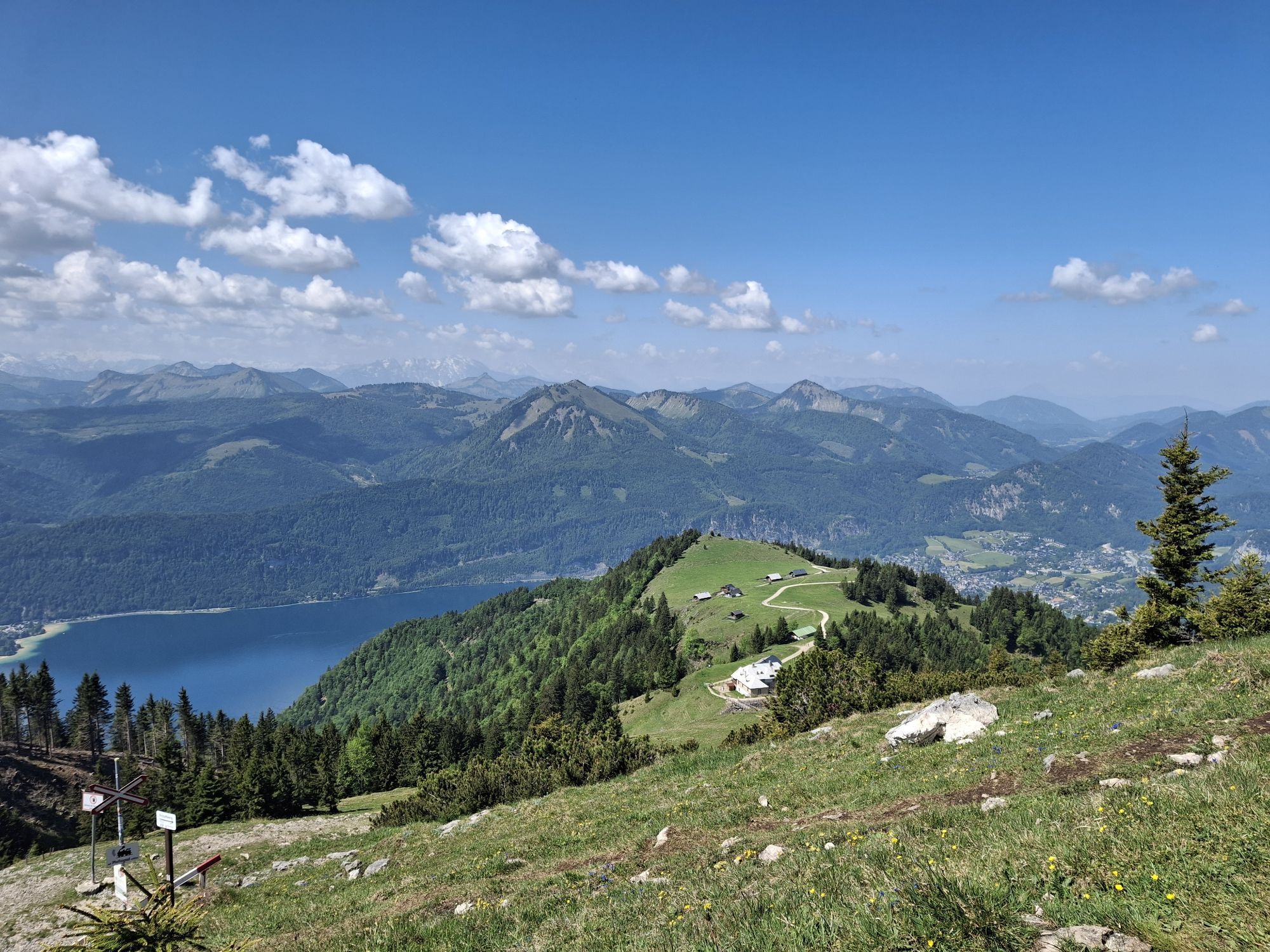
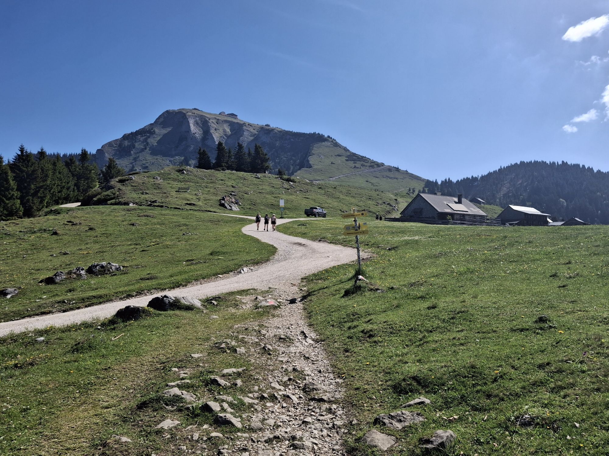
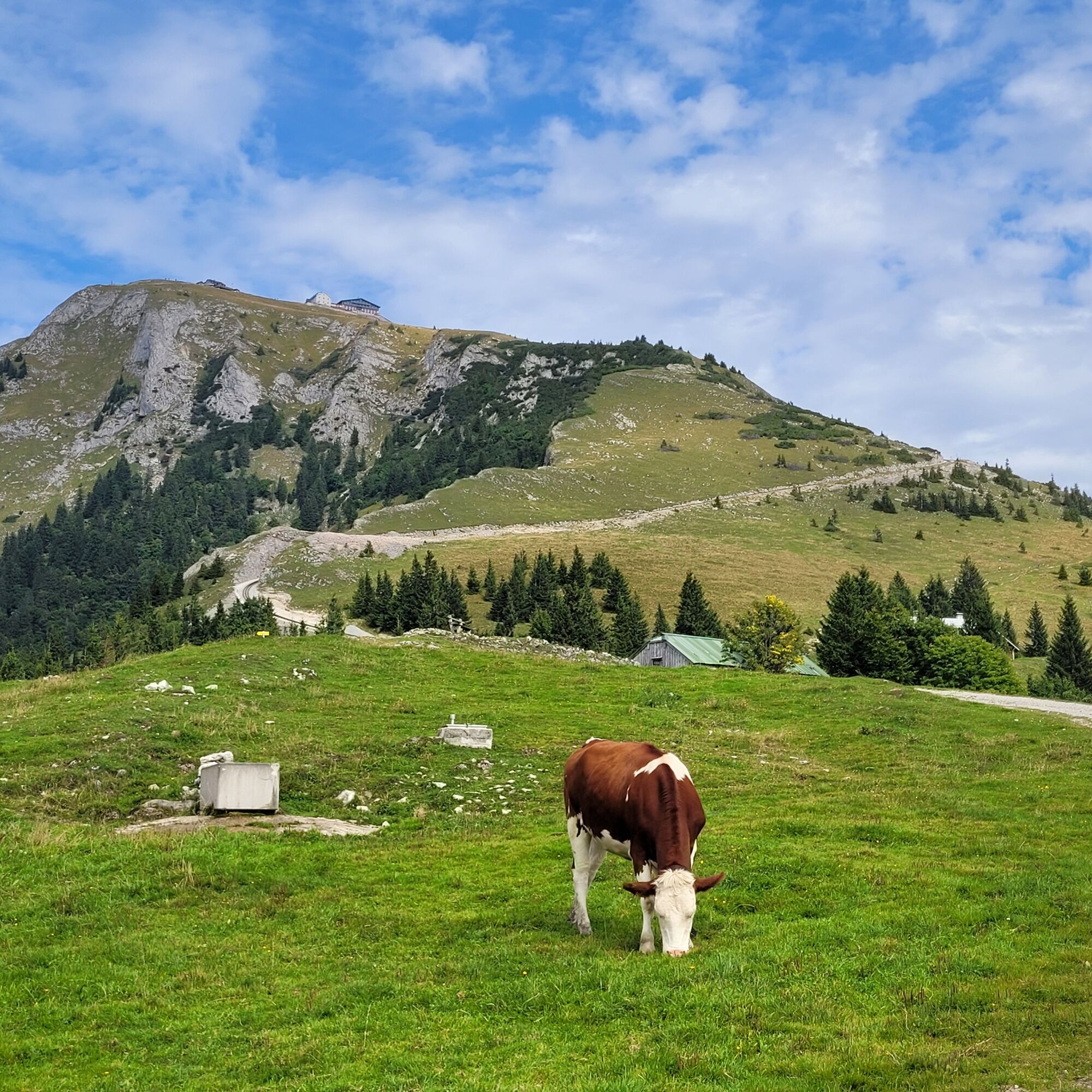
Continue on path 23 over the Dorneralm and the Schafbergalm, after which we cross the Schafbergbahn track twice, up to the summit of the 1,782 m high Schafberg.
Shortcut options:
- from Fürberg towards Aich and on the path "Schafberg via Schafbergsteig" to the summit
- take the boat to St. Wolfgang
- take the Schafbergbahn from St. Wolfgang to the Schafberg
- in very bad weather, take the luggage transfer to St. Wolfgang and take a walk through the town – then take the Schafbergbahn to the Hotel Schafbergspitze
Tak
Tak
Sturdy footwear and possibly hiking poles are recommended.
Not all refreshment options are open. Remember to bring enough water and food before you start hiking. Do not expect any open huts!
Remember cash, especially at huts on Schafberg, no cards are accepted!
Leash requirement for dogs.
Arrival via the A1 West Motorway - Exit Thalgau
Follow the country road towards Hof near Salzburg. At the first roundabout, take the second exit onto the Wolfgangsee federal road (B 158) and follow this until St. Gilgen.
By bus
St. Gilgen is very well accessible by the public lines of the Salzburger Verkehrsverbund from Salzburg.
Salzburger Verkehrsverbund, line 150
By train
Information about train connections can be found at www.oebb.at or www.bahn.de
By plane
The Salzburg Airport W.A. Mozart is located very close to the city of Salzburg. Bus lines 2 or 27 take you to the main train station, where you can transfer to bus no. 150.
As part of the package booking, the parking lot is included for you.
For the route from St. Gilgen, the public parking lots in St. Gilgen are suitable.
Information about the 4 Mountains 3 Lakes package by email incoming@fuschlseeregion.com +43 6226 8384
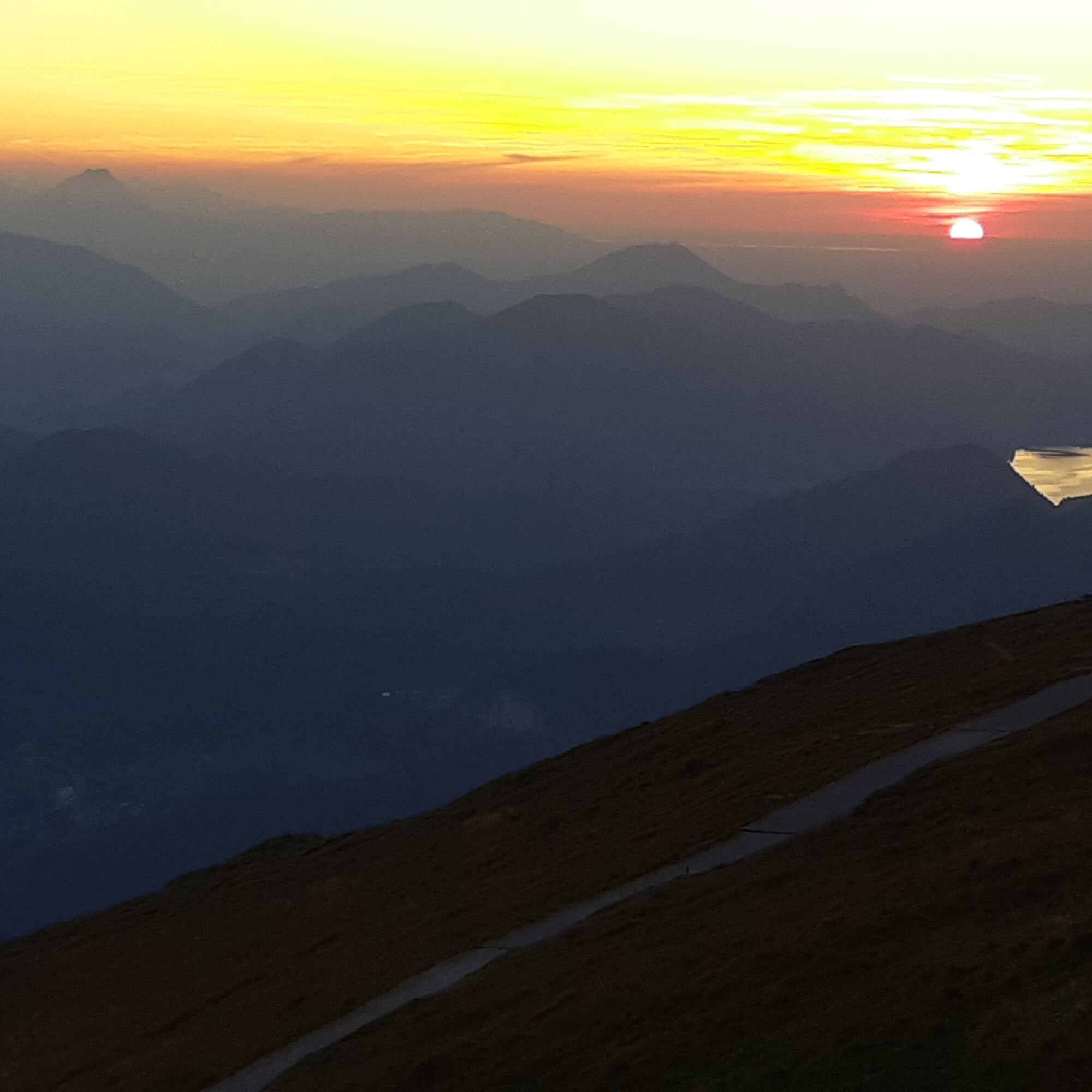
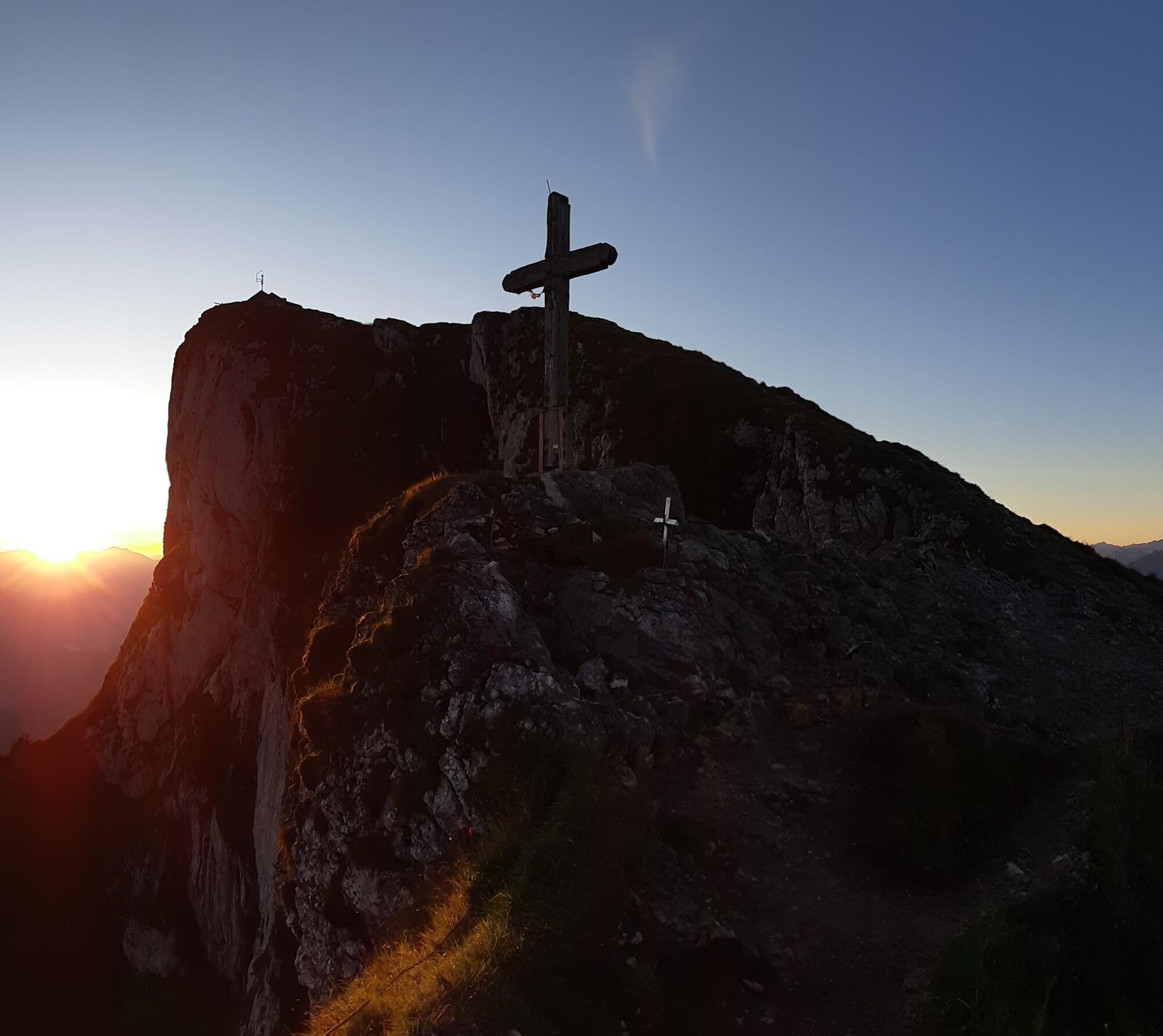
The sunset and sunrise at Schafberg! Getting up early is definitely worth it! Remember warm clothing, as it is often cool and windy in the early morning and evening, even in summer.


Kamery internetowe z trasy
Uzyskaj wgląd Zawsze na żywo z ponad 9 500 kamer internetowych. bergfex Jako użytkownik Pro, możesz teraz zobaczyć odpowiednie kamery internetowe dla wielu wycieczek w aplikacji wycieczki od. Pozwala to na bezpośredni podgląd aktualnych warunków. Aktywności na trasie

Sankt Gilgen, Salzburg/Austria
26.07.2026 – WędrówkaSankt Gilgen, Salzburg/Österreich
23.07.2026 – WędrówkaSankt Gilgen, Salzburg/Austria
21.07.2026 – WędrówkaSankt Gilgen, Salzburgo/Austria
05.07.2026 – Bieganie
Sankt Gilgen, Salzburg/Austria
27.06.2026 – Wędrówka
Sankt Gilgen, Salzburg/Österreich
21.06.2026 – WędrówkaSankt Gilgen, Salzburg/Austria
23.05.2026 – Wędrówka
Sankt Gilgen, Salzburg/Österreich
04.05.2026 – WędrówkaSankt Gilgen, Salzburg/Österreich
30.04.2026 – Wędrówka
Sankt Gilgen, Salzburg/Österreich
24.04.2026 – WędrówkaSankt Gilgen, Salzburg/Österreich
22.03.2026 – WędrówkaSankt Gilgen, Salzburg/Österreich
21.12.2025 – WędrówkaSankt Gilgen, Salzburg/Österreich
18.10.2025 – WędrówkaSankt Gilgen, Salzburg/Österreich
03.10.2025 – WędrówkaSankt Gilgen, Salzburg/Österreich
08.09.2025 – WędrówkaSankt Gilgen, Salzburg/Österreich
26.08.2025 – Wędrówka
Sankt Gilgen, Salzburg/Austria
24.08.2025 – Wędrówka
Sankt Gilgen, Salzburgo/Austria
18.08.2025 – WędrówkaSankt Gilgen, Salzburg/Österreich
14.08.2025 – Wędrówka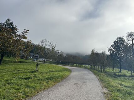
Sankt Gilgen, Salzburg/Österreich
25.09.2024 – Wędrówka
Popularne wycieczki w okolicy
- 4,8
Fuschl: Ruine Wartenfels - Schober - Frauenkopf
średniWędrówka 7,62 km - 4,4
Fuschlseewanderung
światłoWędrówka 11 km - 4,4
Weißenbach am Attersee - Schoberstein
średniWędrówka 3,31 km - 4,2
Pillstein Panorama Rundweg
światłoWędrówka 3,40 km - 4,9
From Rußbach over the Gamsfeld
ciężkiWędrówka 11,5 km - 3,7
Mondsee: Rund um den Mondsee
światłoJazda na rowerze 26,3 km - 4,7
Pleasure hike over the Falkenstein
średniWędrówka 9,81 km - 3,6
Unterach am Attersee: Hochplettspitz
Wędrówka 4,25 km - 4,6
The Plombergstein: Adventure and summit panorama
światłoWędrówka 4,12 km - 4,9
Schwarzeneckalm-Bleckwand
światłoWędrówka 5,94 km
Wędrówki i tropienie


Nie przegap ofert i inspiracji na następne wakacje
Twój adres e-mail została dodana do listy mailingowej.





