Nawigacja
Pobierz tę trasę na swój telefon komórkowy
Mapa
Bärensteigkogel
ciężki
Wędrówka
13,89 km
Zeskanuj kod QR i rozpocznij nawigację w aplikacji bergfex.
QR Code
Wędrówki i tropienie
Pobierz dla iOS
Pobierz dla systemu Android

Bärensteigkogel

ciężki
Wędrówka
Odległość
13,9 km
Czas trwania
06:45 h
Ascent
961 hm
Poziom morza
1 261 - 2 213 m
Ścieżka do pobrania
Mapa
Bärensteigkogel
ciężki
Wędrówka
13,89 km

Very quiet mountain hike at the end of Schwarzachergraben.

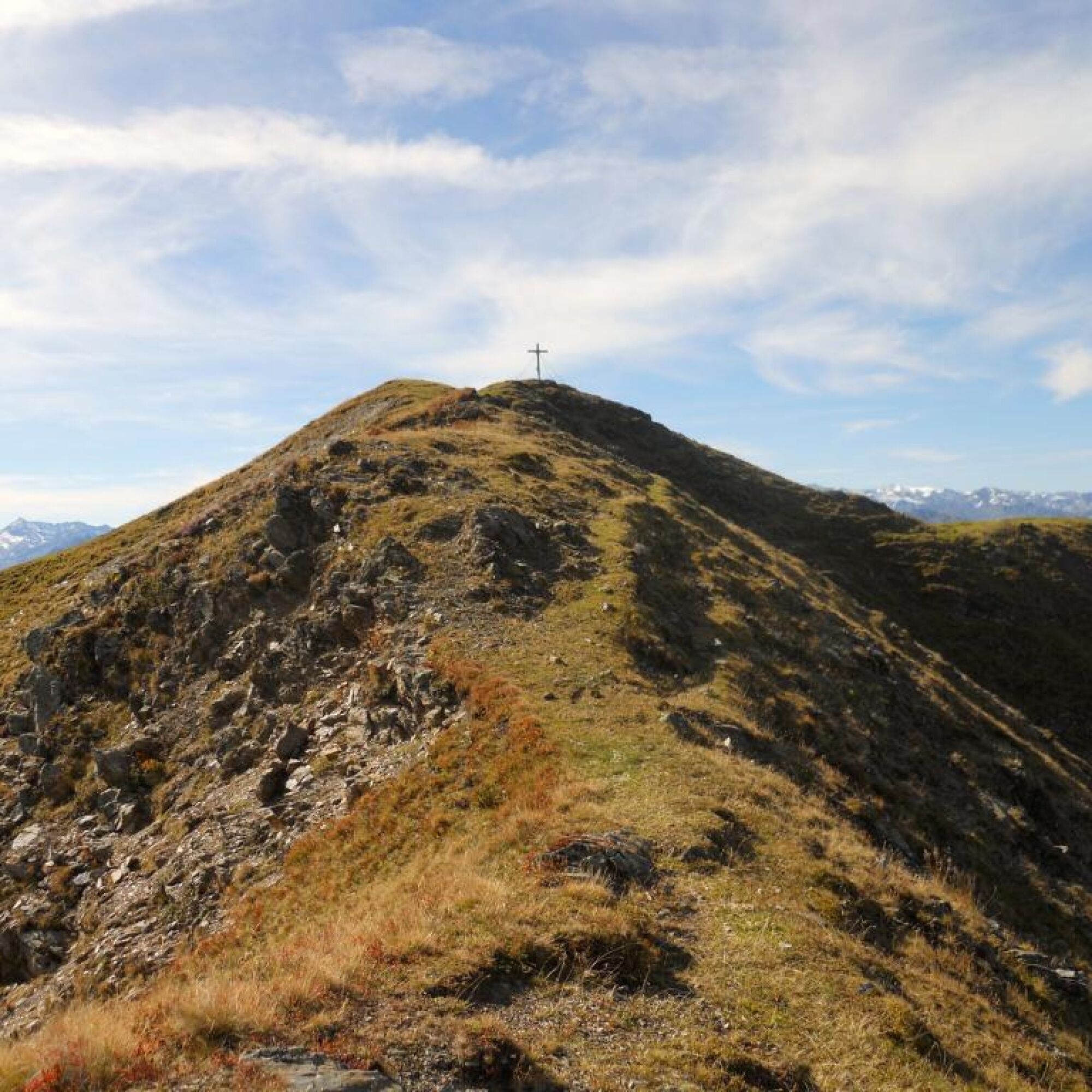
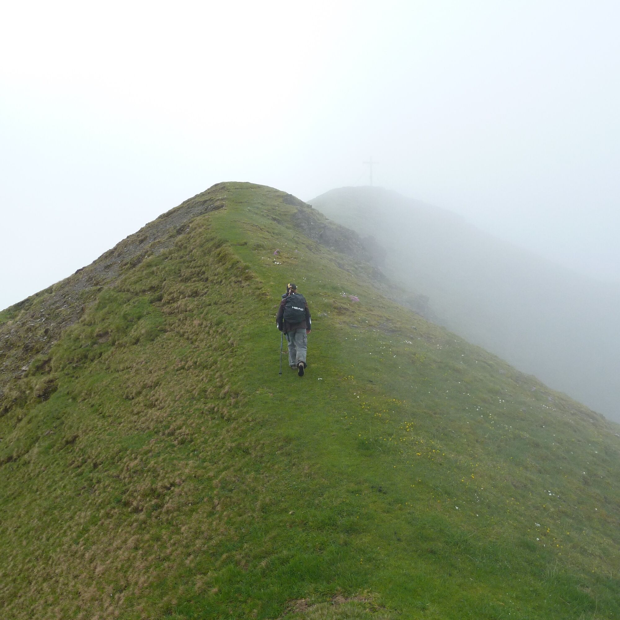
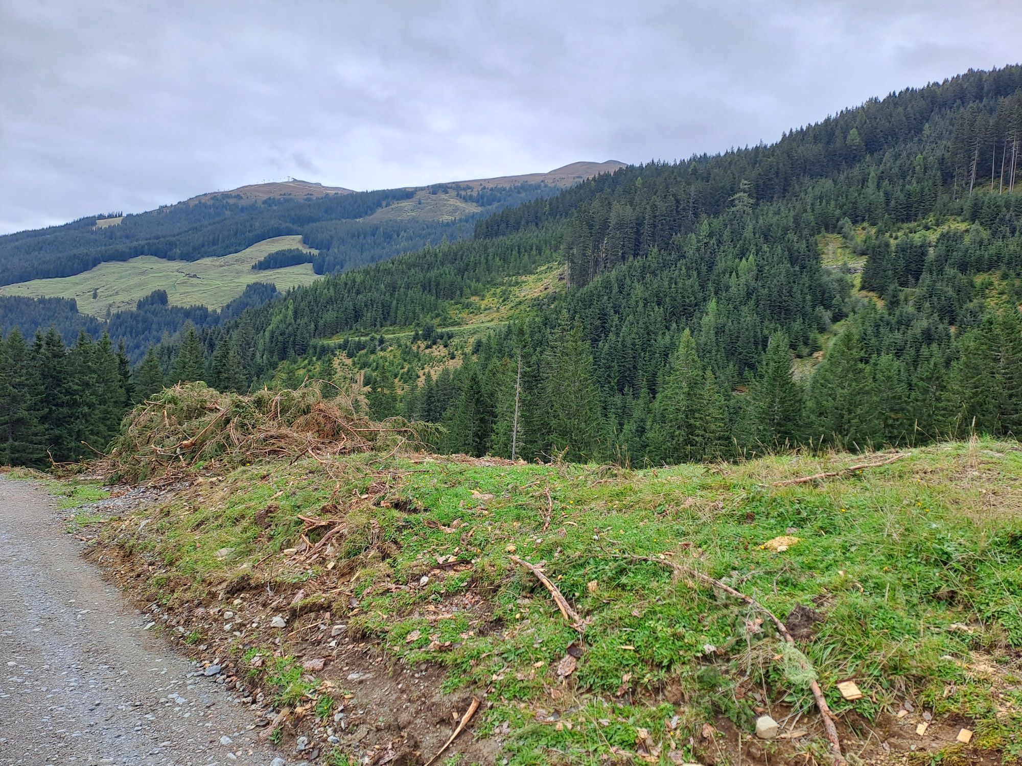
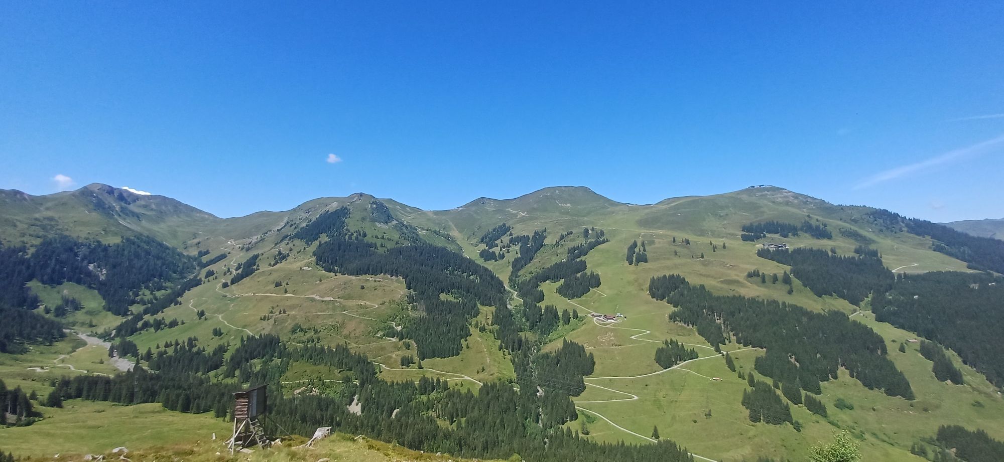
From Huberalm, a nice ascent partly through the forest, later a ridge hike with views of the Salzach Valley and the High Tauern.

The descent leads...

Opis
Very quiet mountain hike at the end of Schwarzachergraben.

From Huberalm, a nice ascent partly through the forest, later a ridge hike with views of the Salzach Valley and the High Tauern.

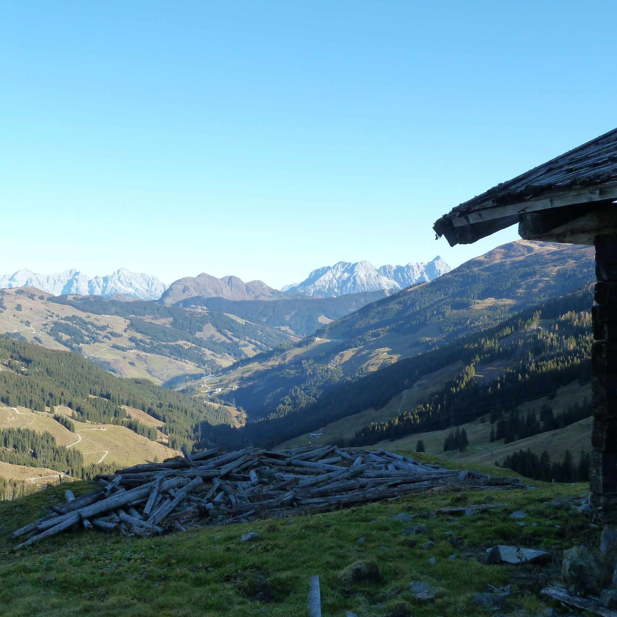
The descent leads over alpine pastures with old huts, which are not managed.

Trasa
Sonnberg
(2 187 m)
Szczyt
5,7 km
Bärensteigkopf
(2 225 m)
Szczyt
6,0 km
Lamperbichlkogel
(2 036 m)
Szczyt
7,2 km
Sommertörl
(1 939 m)
Siodełko górskie
7,8 km
Vogelhof Hochalm
(1 706 m)
Korytarz/teren
9,4 km
Berger Grundalm
(1 546 m)
Korytarz/teren
10,5 km
Vogelhof Grundalm
(1 510 m)
Korytarz/teren
10,8 km
Trasa
Mapa
Bärensteigkogel
ciężki
Wędrówka
13,89 km
Sonnberg
(2 187 m)
Szczyt
5,7 km
Bärensteigkopf
(2 225 m)
Szczyt
6,0 km
Lamperbichlkogel
(2 036 m)
Szczyt
7,2 km
Sommertörl
(1 939 m)
Siodełko górskie
7,8 km
Vogelhof Hochalm
(1 706 m)
Korytarz/teren
9,4 km
Berger Grundalm
(1 546 m)
Korytarz/teren
10,5 km
Vogelhof Grundalm
(1 510 m)
Korytarz/teren
10,8 km
Informacje o wycieczce

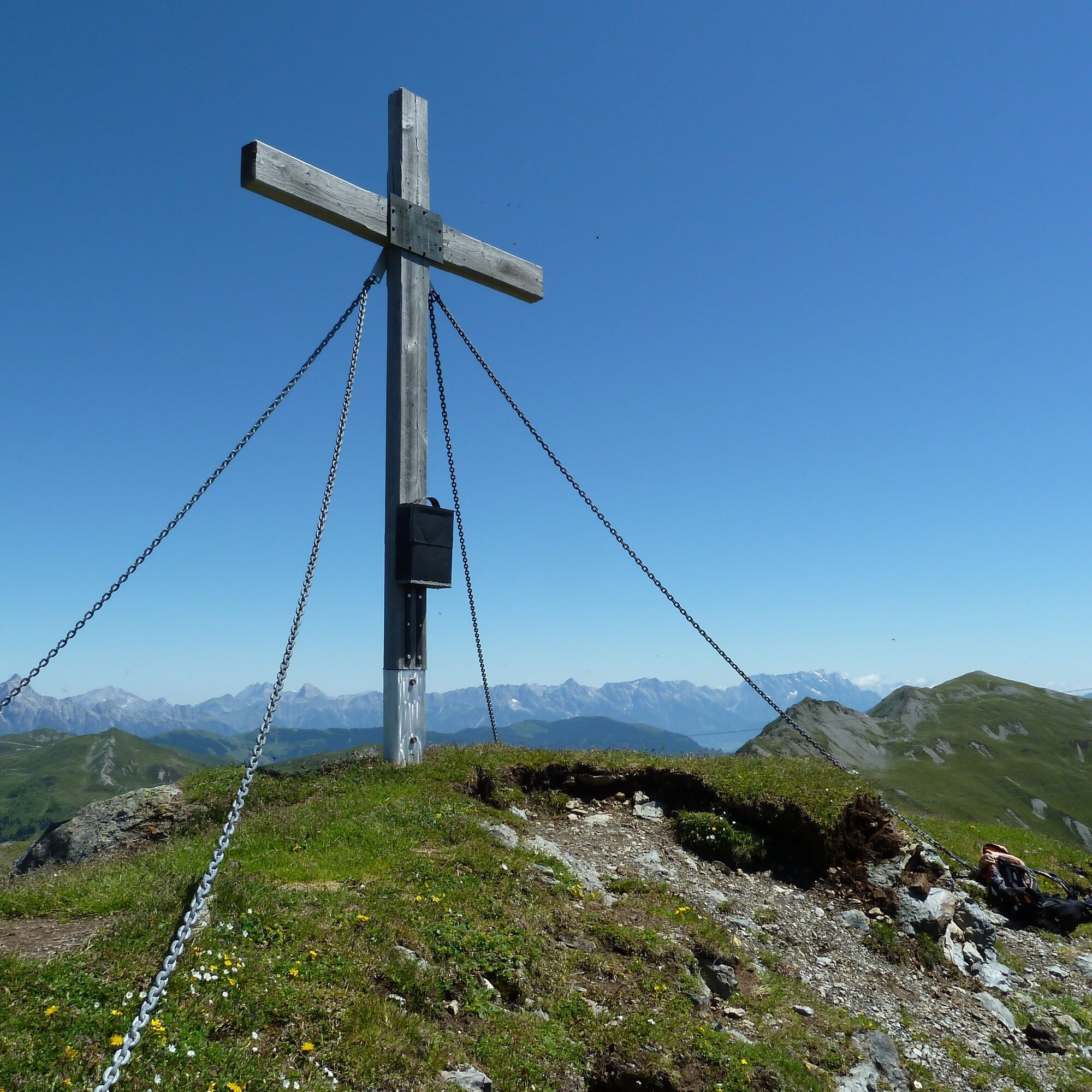
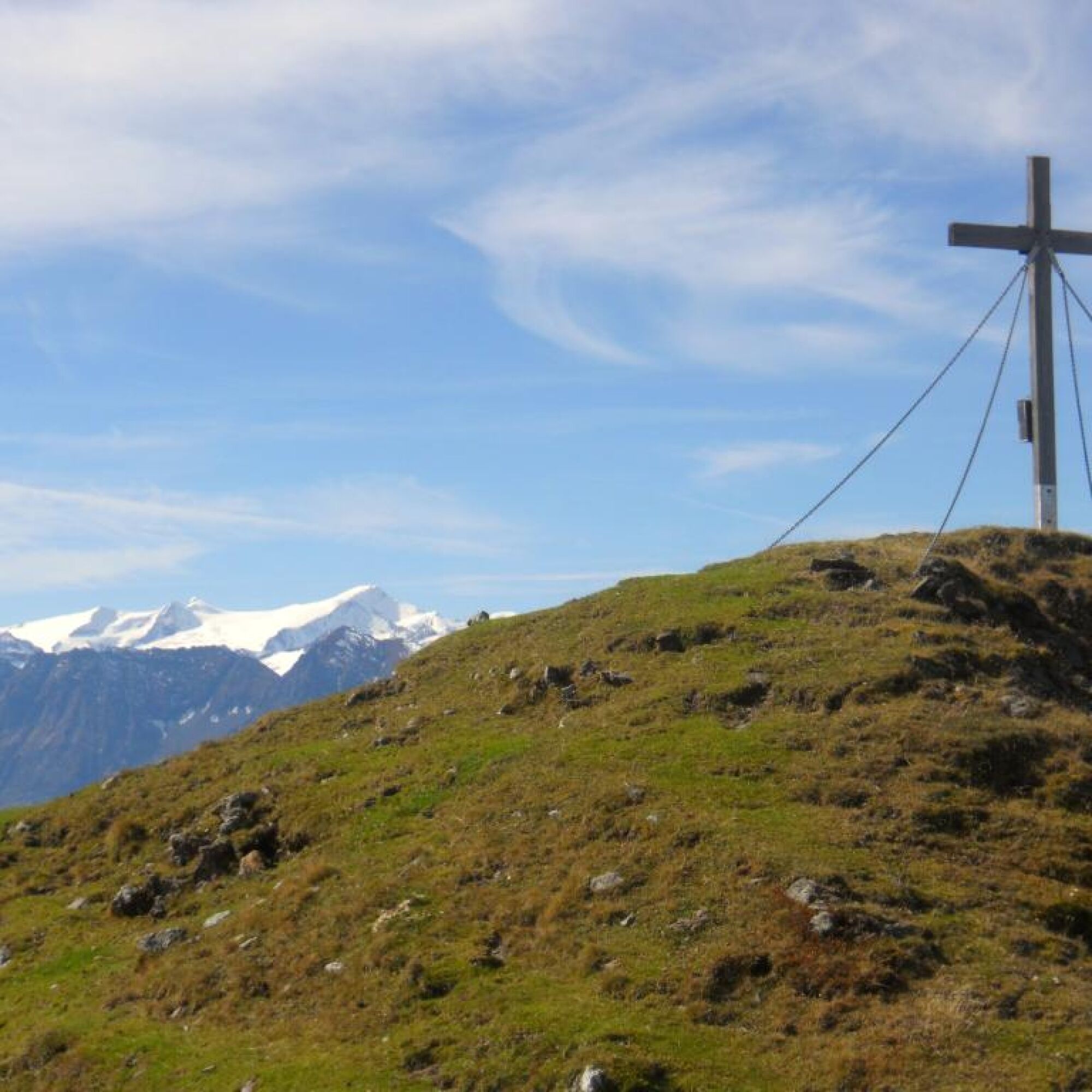
Lonely mountain peak with a magnificent view

Technologia
n.d.
Stan
5 / 6
Krajobraz
5 / 6
Doświadczenie
5 / 6
Najlepsza pora roku
Sty
Lut
Mar
Kwi
Maj
Cze
Lip
Sie
Wrz
Paź
Lis
Gru
Autor
Dostarczone przez Saalbach Hinterglemm
Wycieczkę Bärensteigkogel zapewnia outdooractive.com.
Logo
Udostępnij trasę
Mapa
Bärensteigkogel
ciężki
Wędrówka
13,89 km
Błąd
Wystąpił błąd. Spróbuj ponownie.
Informacje o trasie
Trasa
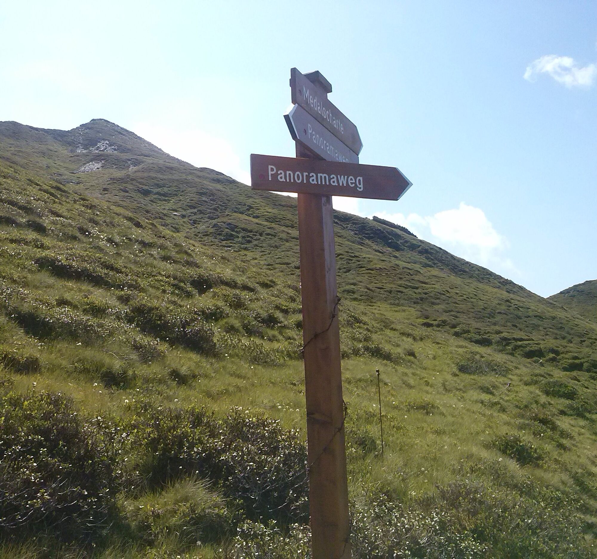
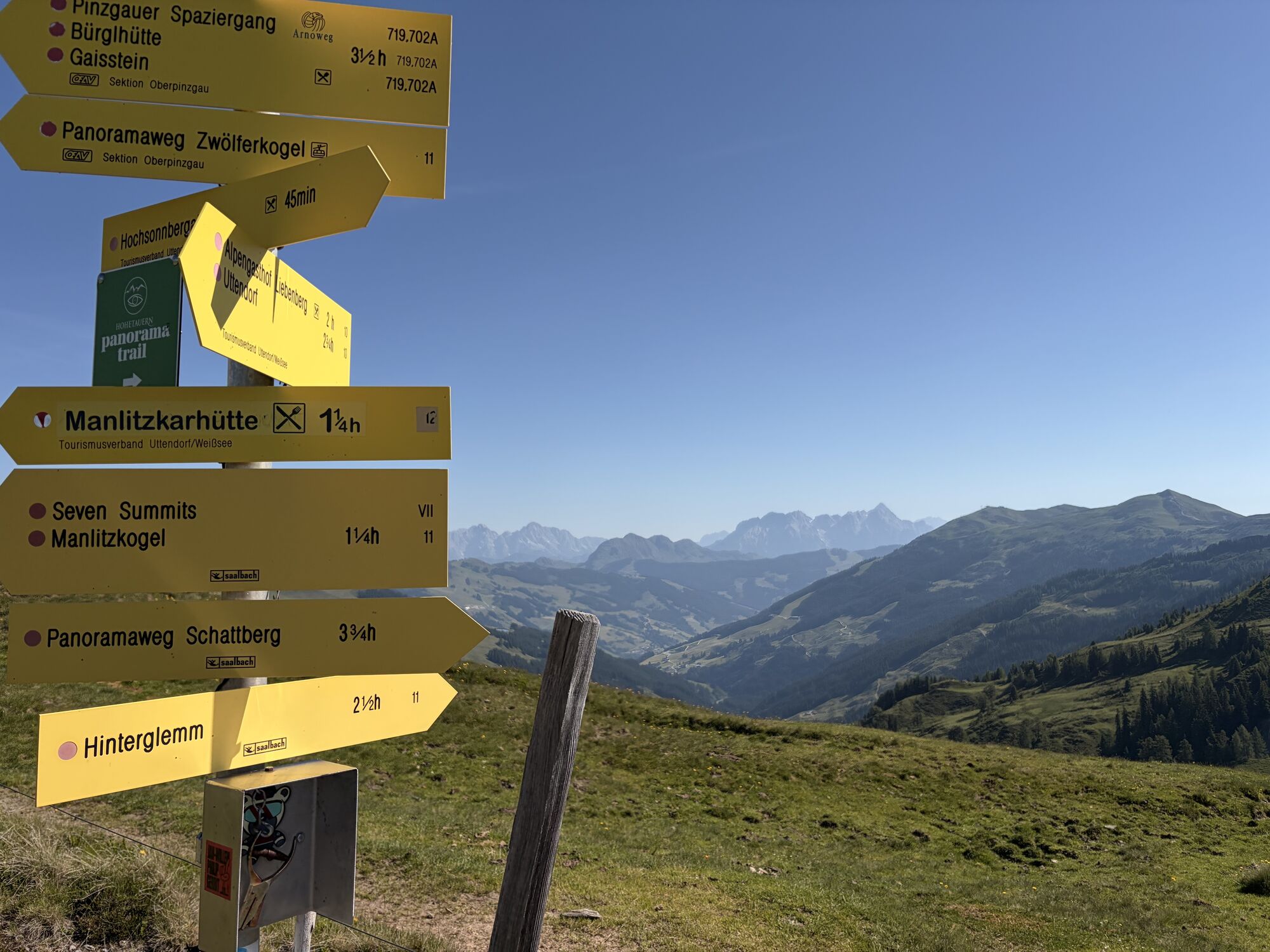
Initially along the forest road to Huberalm, behind it the path leads up to Huber Hochalm and further along the mountain ridge until reaching the panorama trail. From here to Medalscharte and further to Bärensteigkogel.

The descent first leads to Lämmperbichel, later to Sommertor and over Voglhof Hoch- and Grundalm back to the starting point.

Wycieczka na szczyt

Tak

Sprzęt

Hiking boots, rain gear, sun protection

Instrukcje bezpieczeństwa

No dining options from Huberalm onwards.

Informacje o przyjeździe
Przybycie
From Maishofen approx. 18 km along the L111 to Hinterglemm. At the tunnel exit, turn left towards Hinterglemm town center and then take the first right onto Schwarzacherweg.

Follow Schwarzacherweg to the barrier on the Güterweg Huberalm.

Transport publiczny
Postbus - daily from 07:00 to 19:00

http://www.postbus.at/de/Fahrplanauskunft/index.jsp

Parking

Parking available at the barrier on the Güterweg Huberalm

Wędrówki i tropienie

Wędrówki i tropienie

Pobierz dla iOSPobierz dla systemu Android
Wędrówki i tropienie
Ponad 550.000 propozycji wycieczek, szczegółowe mapy i intuicyjny planer tras sprawiają, że aplikacja jest niezbędna dla wszystkich entuzjastów przyrody.
bergfex