







Großarl: Kreuzkogel - Harbach hut - Gehwolfalm
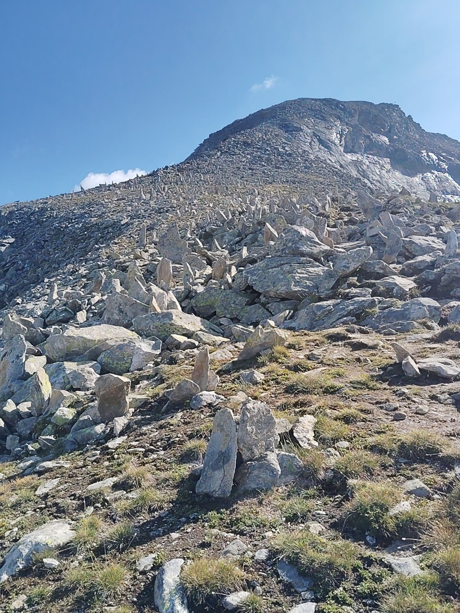
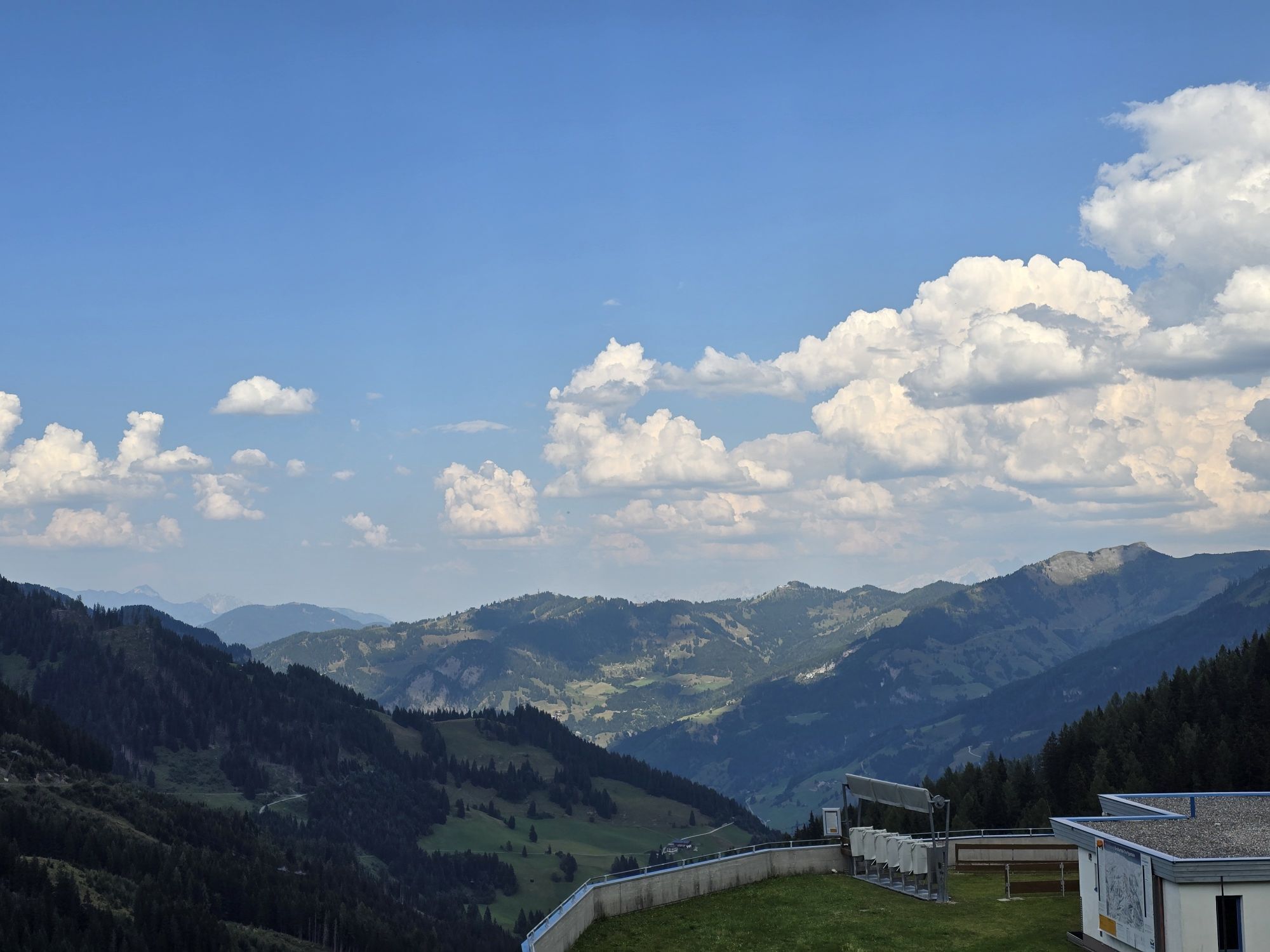
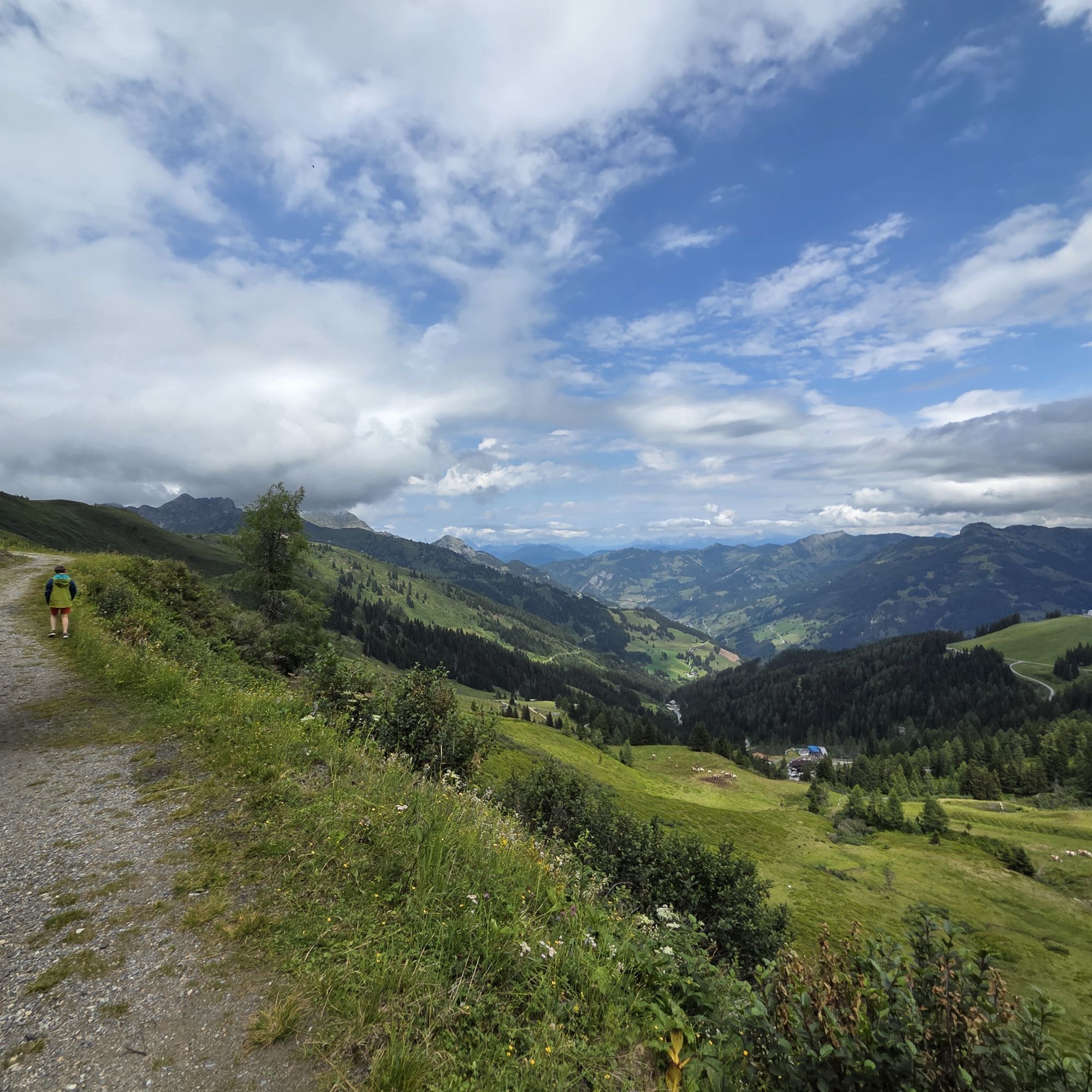
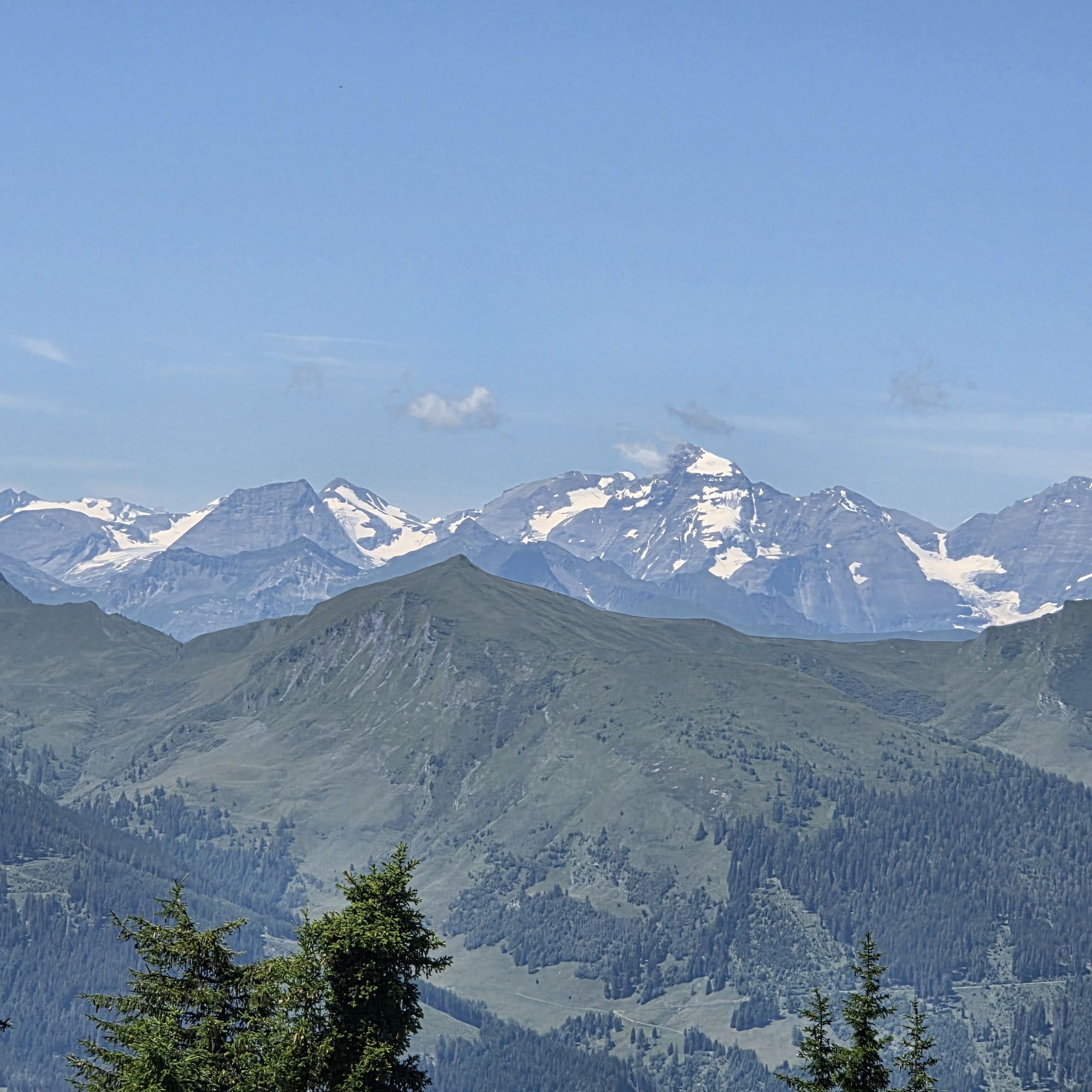
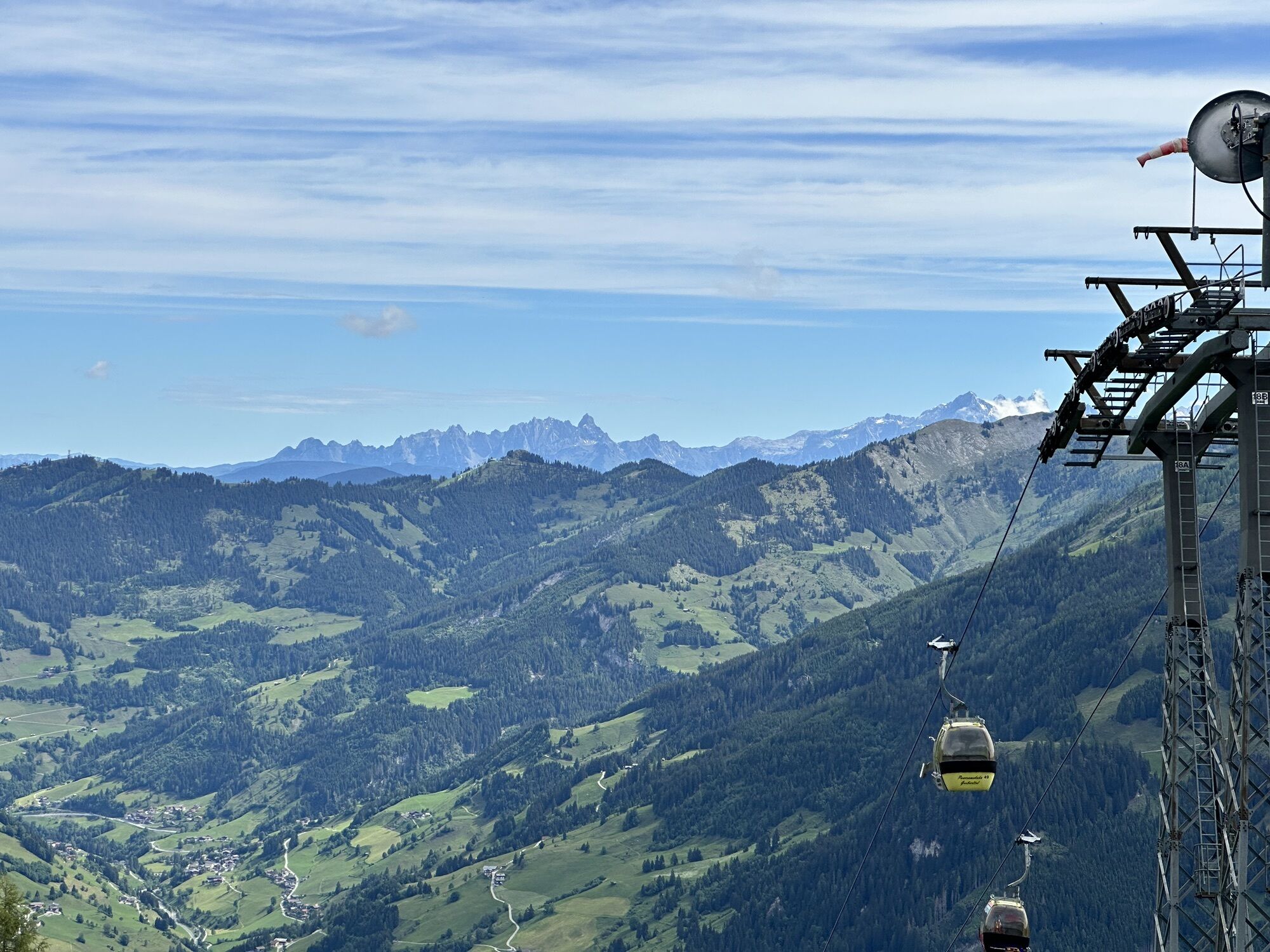
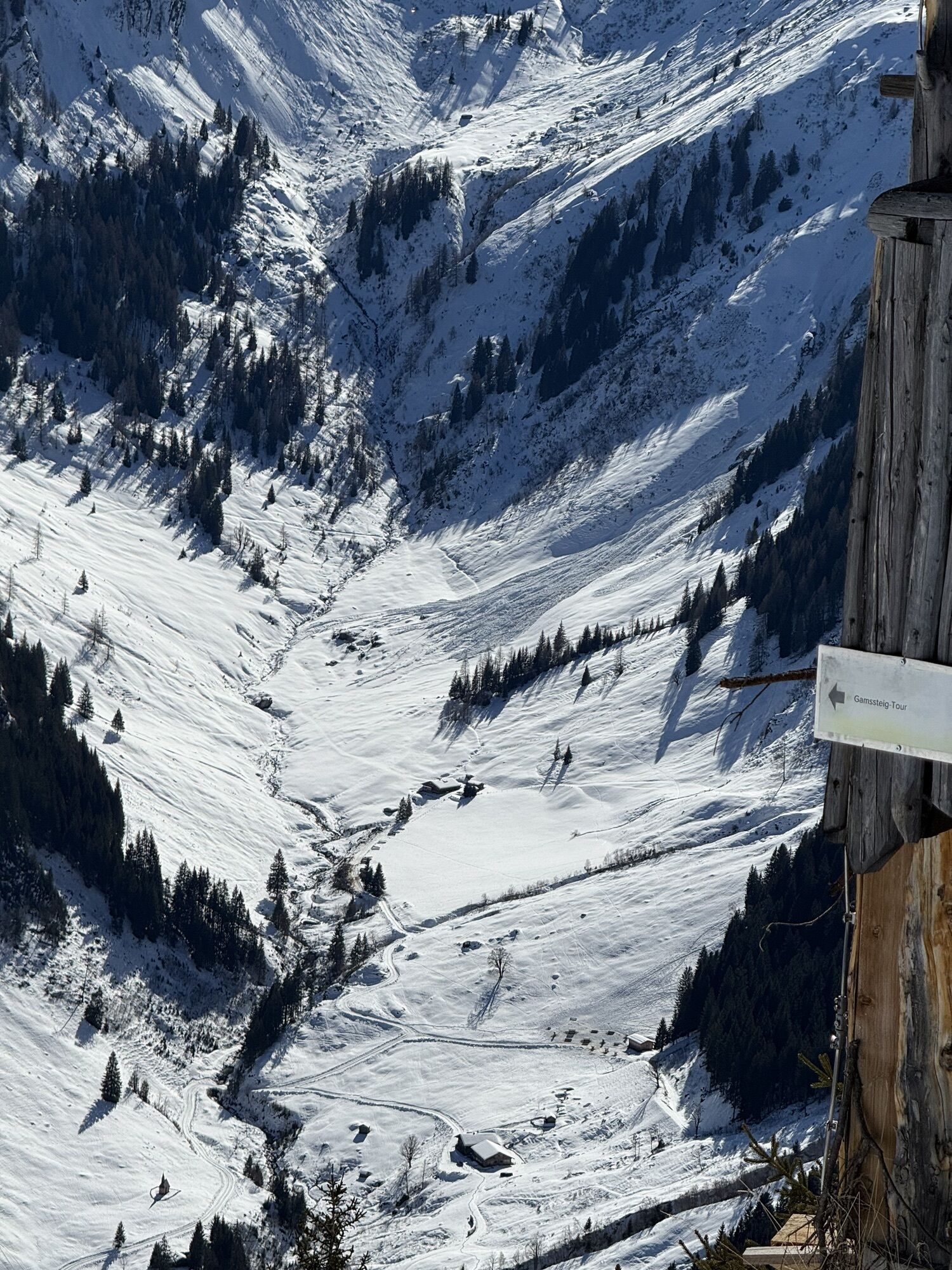
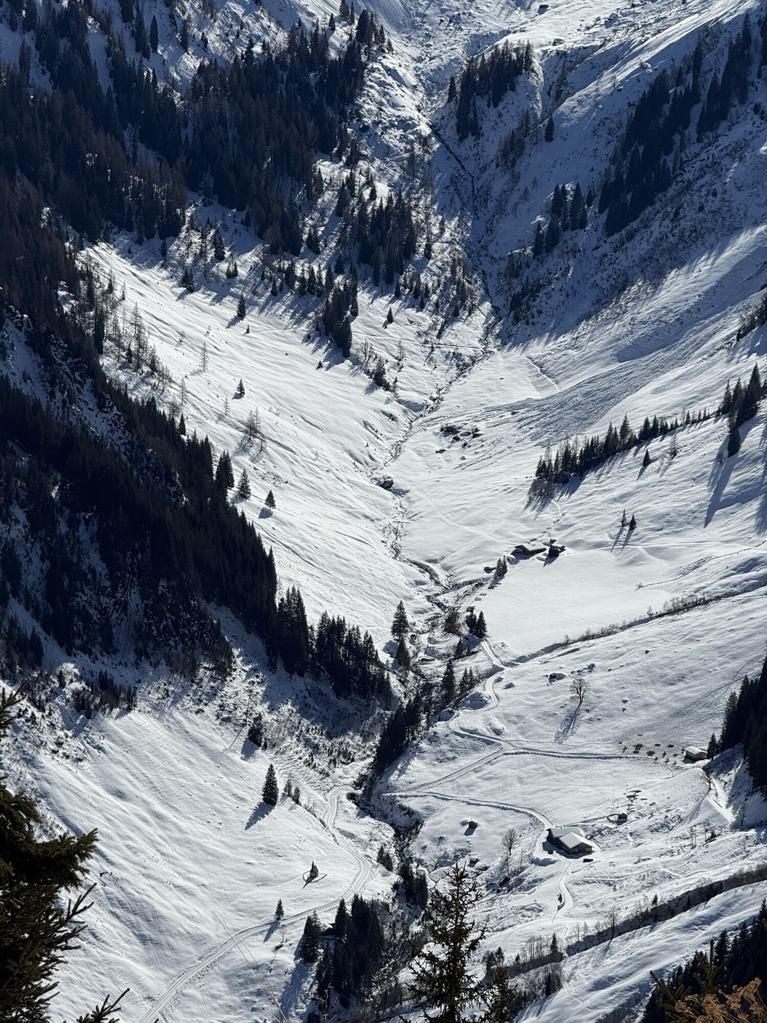
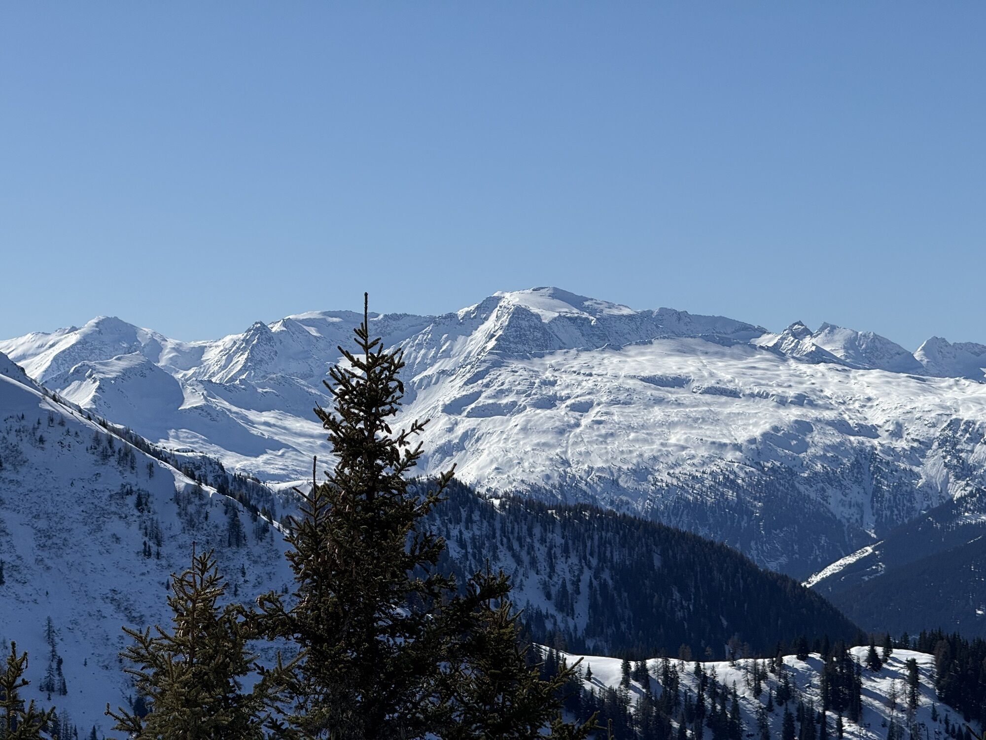
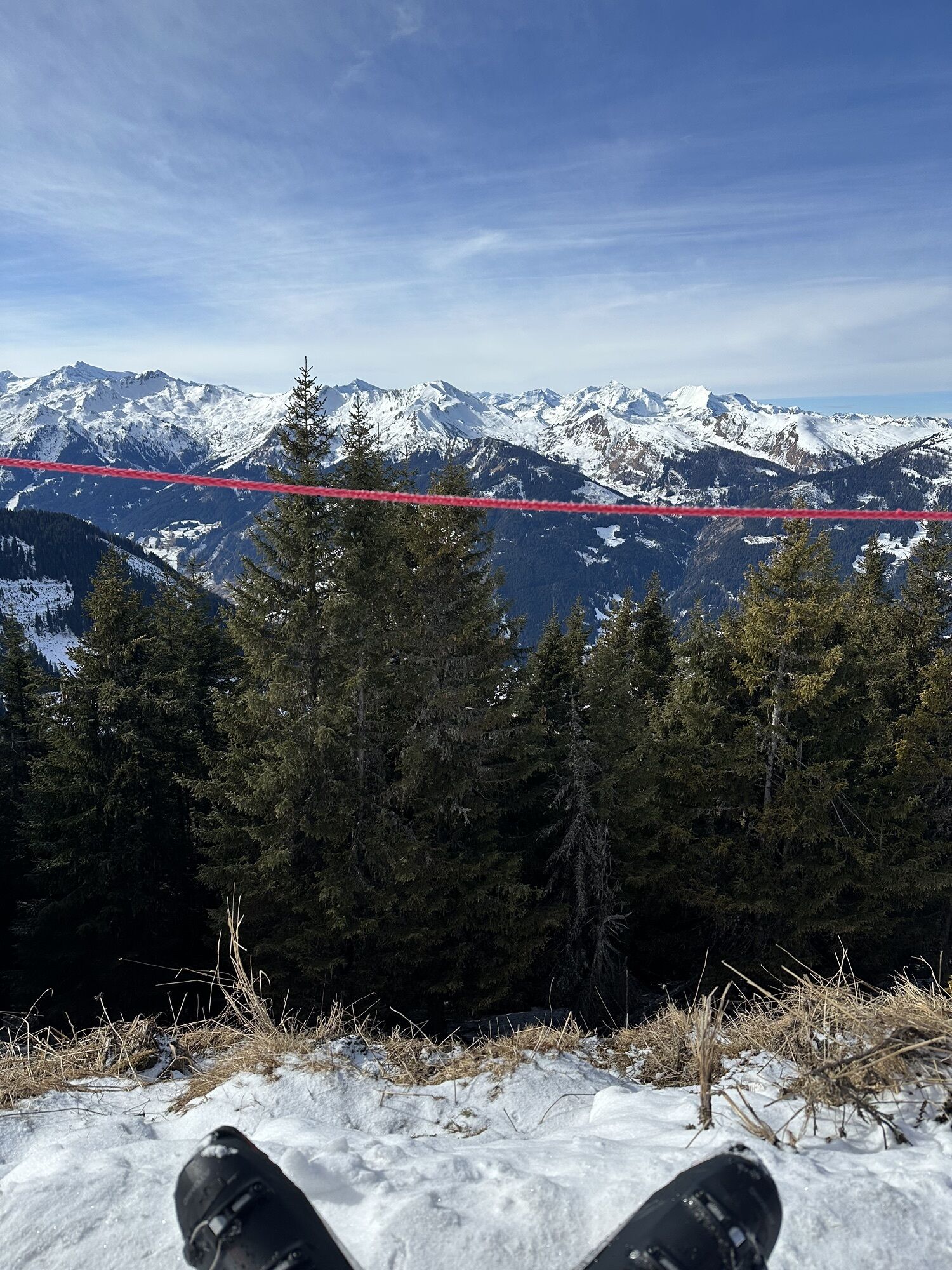
Ride with the Panoramabahn Großarltal up to the Panorama plateau. Here you have the opportunity to indulge yourself with delicacies at the Laireiteralm. Upslope, it goes very leisurely along a forest road...
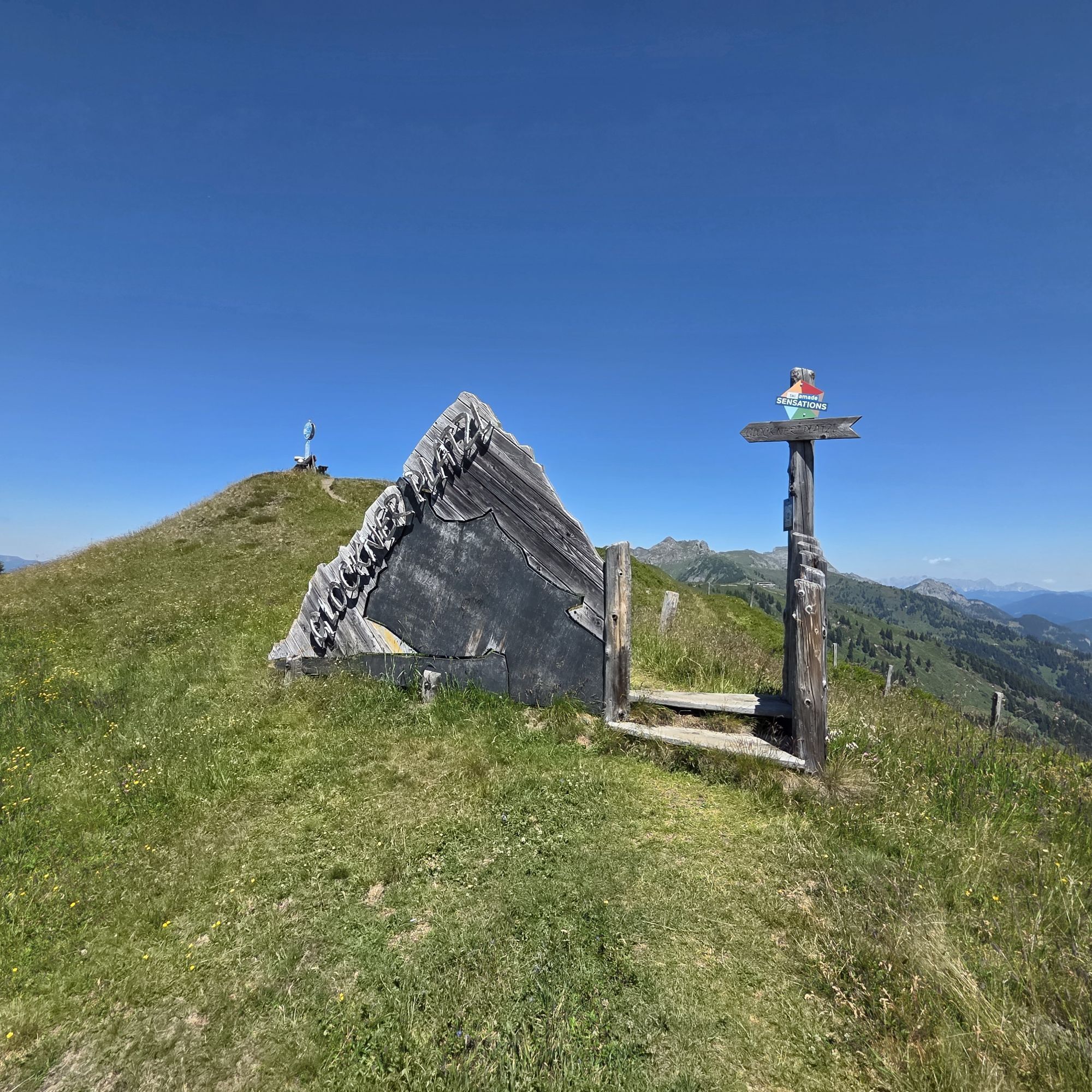
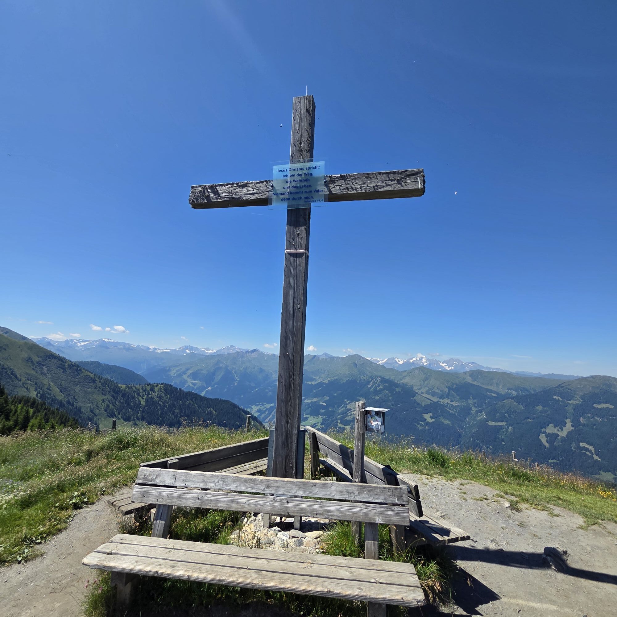
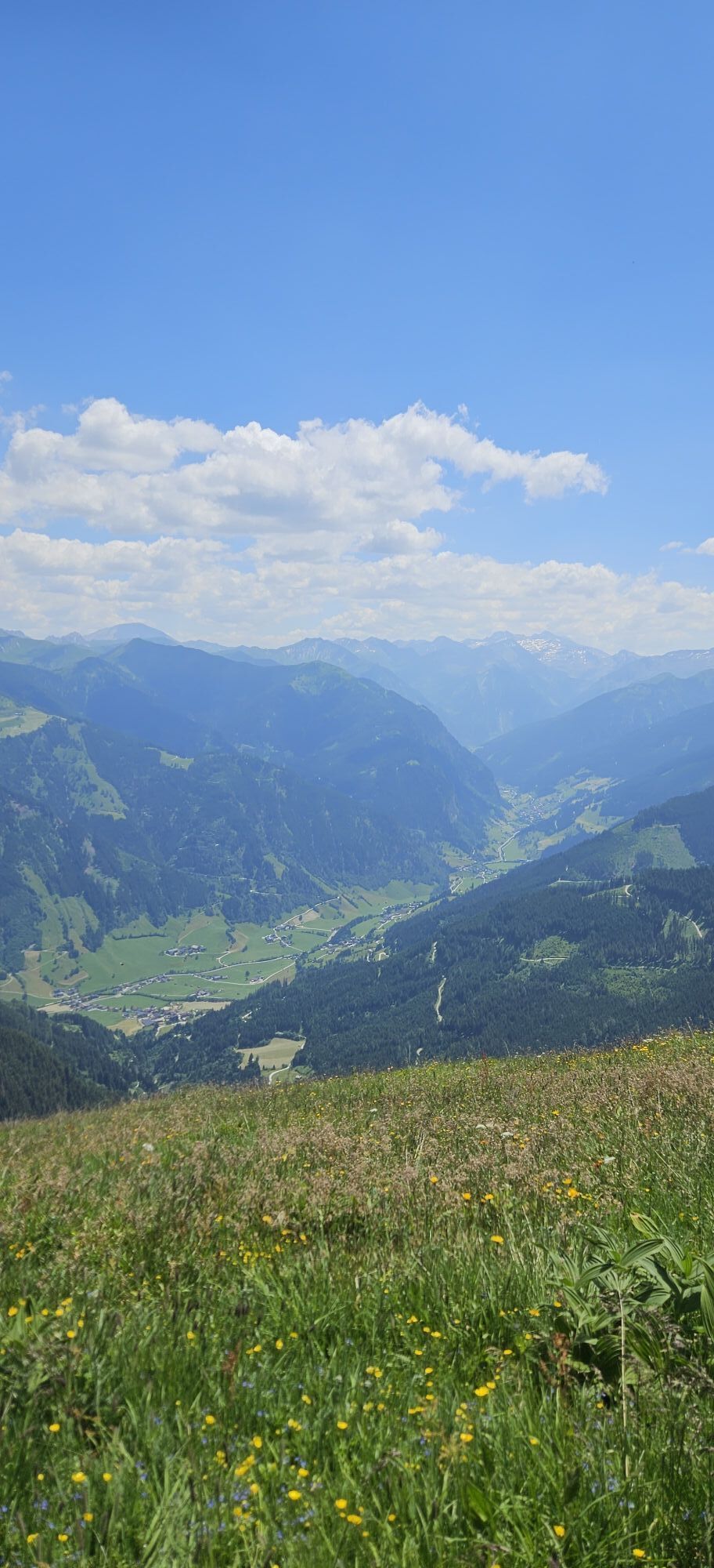
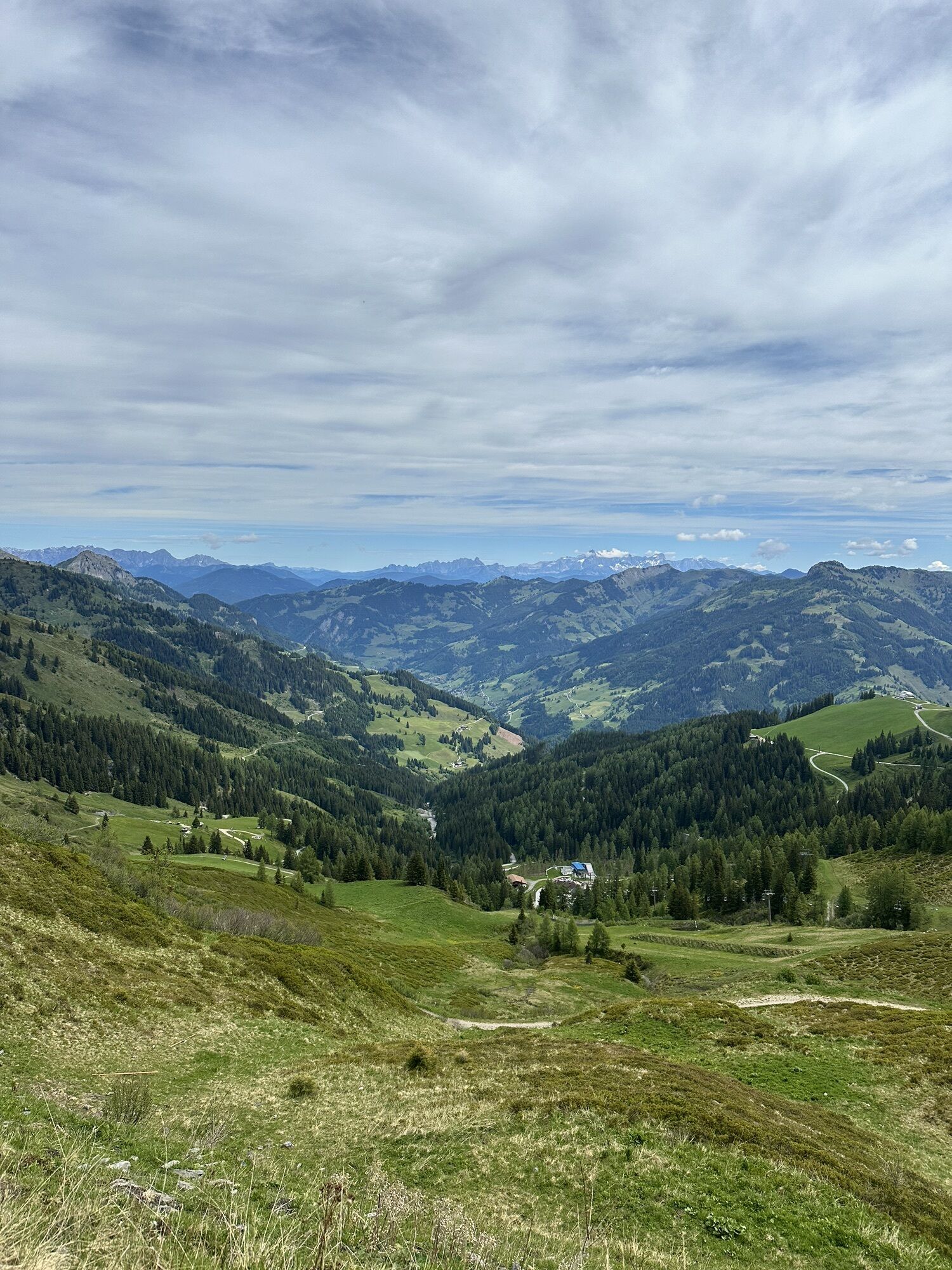
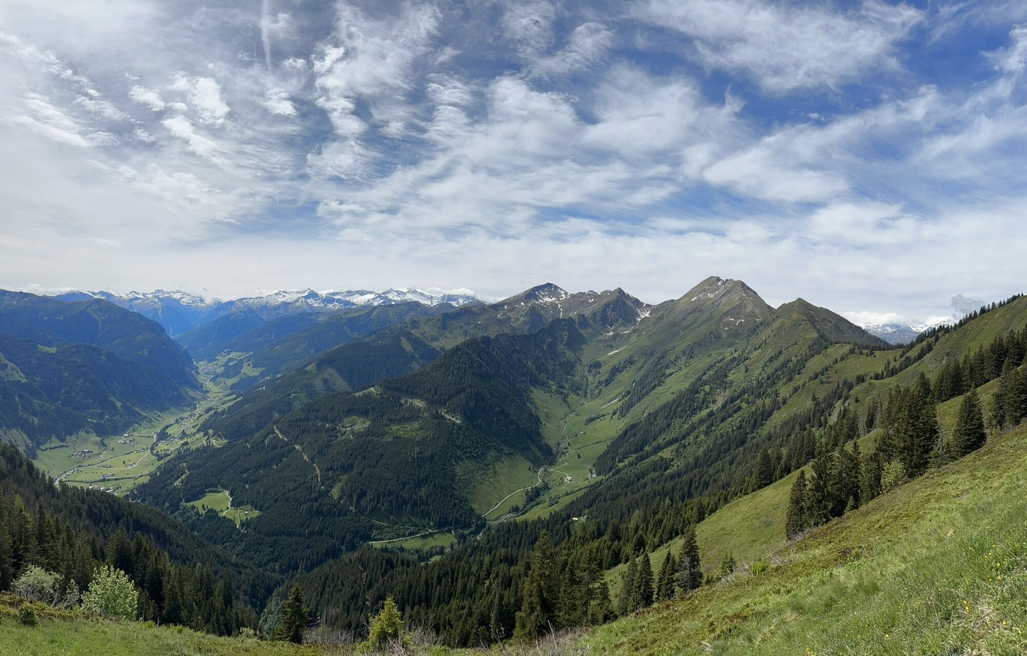
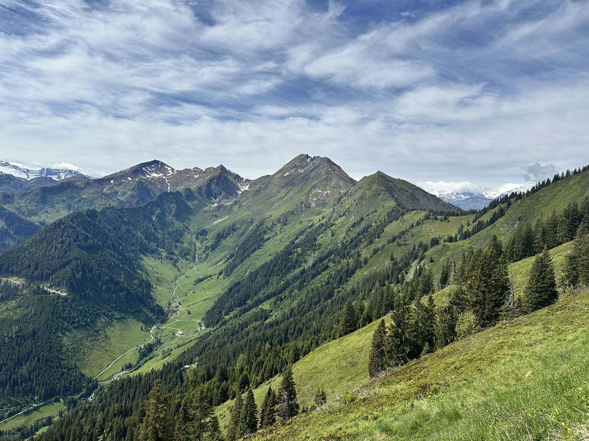
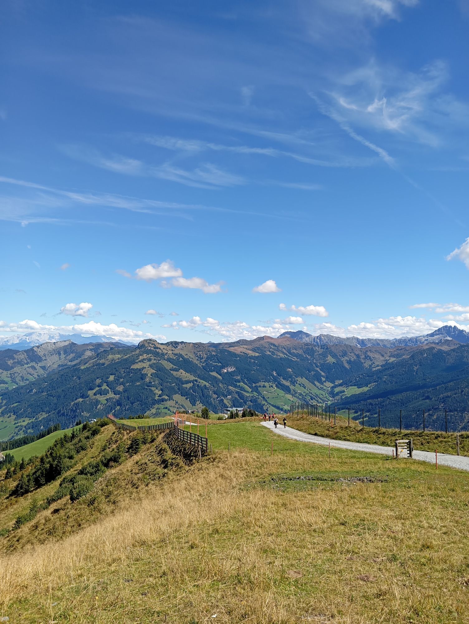
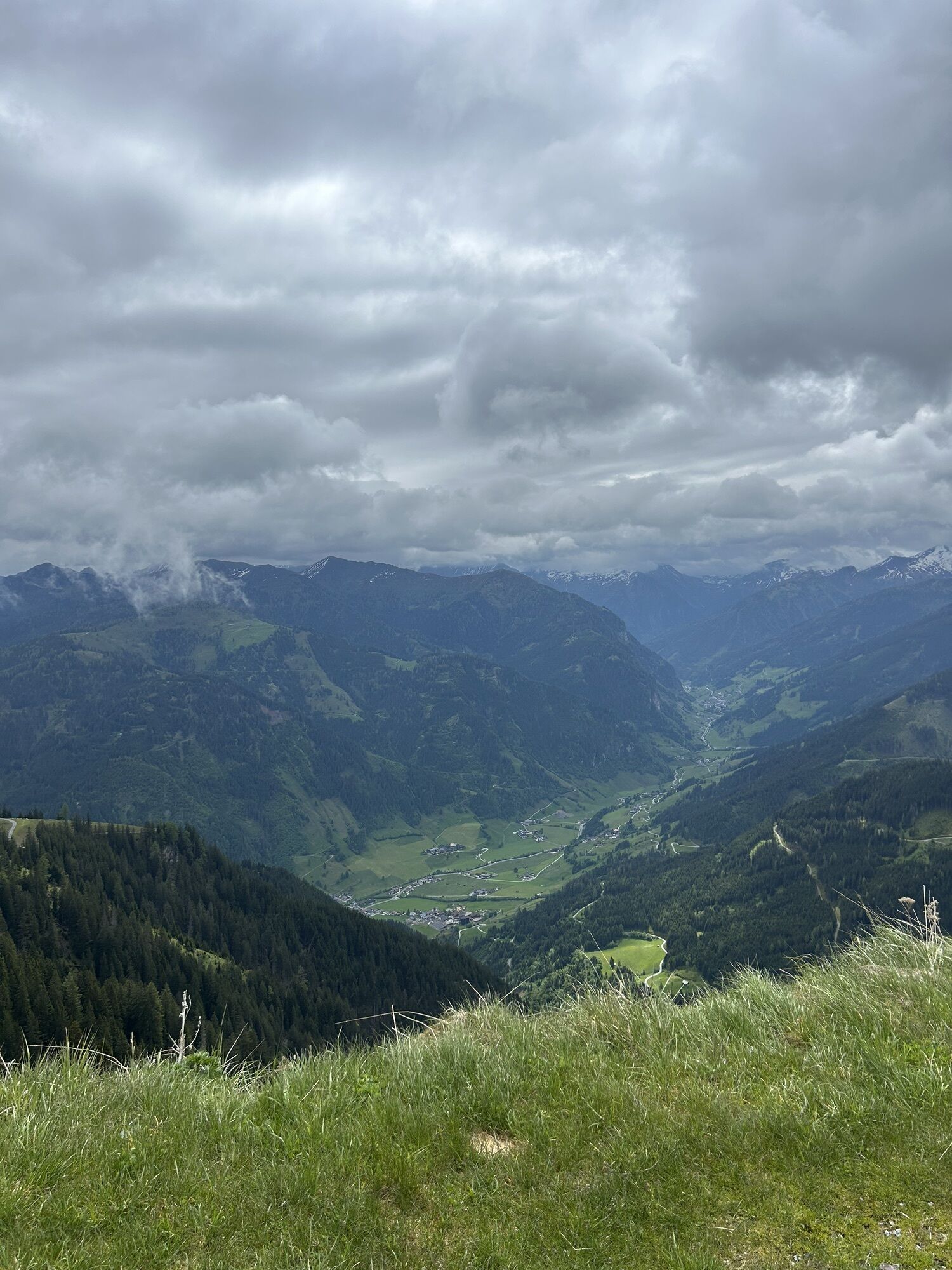
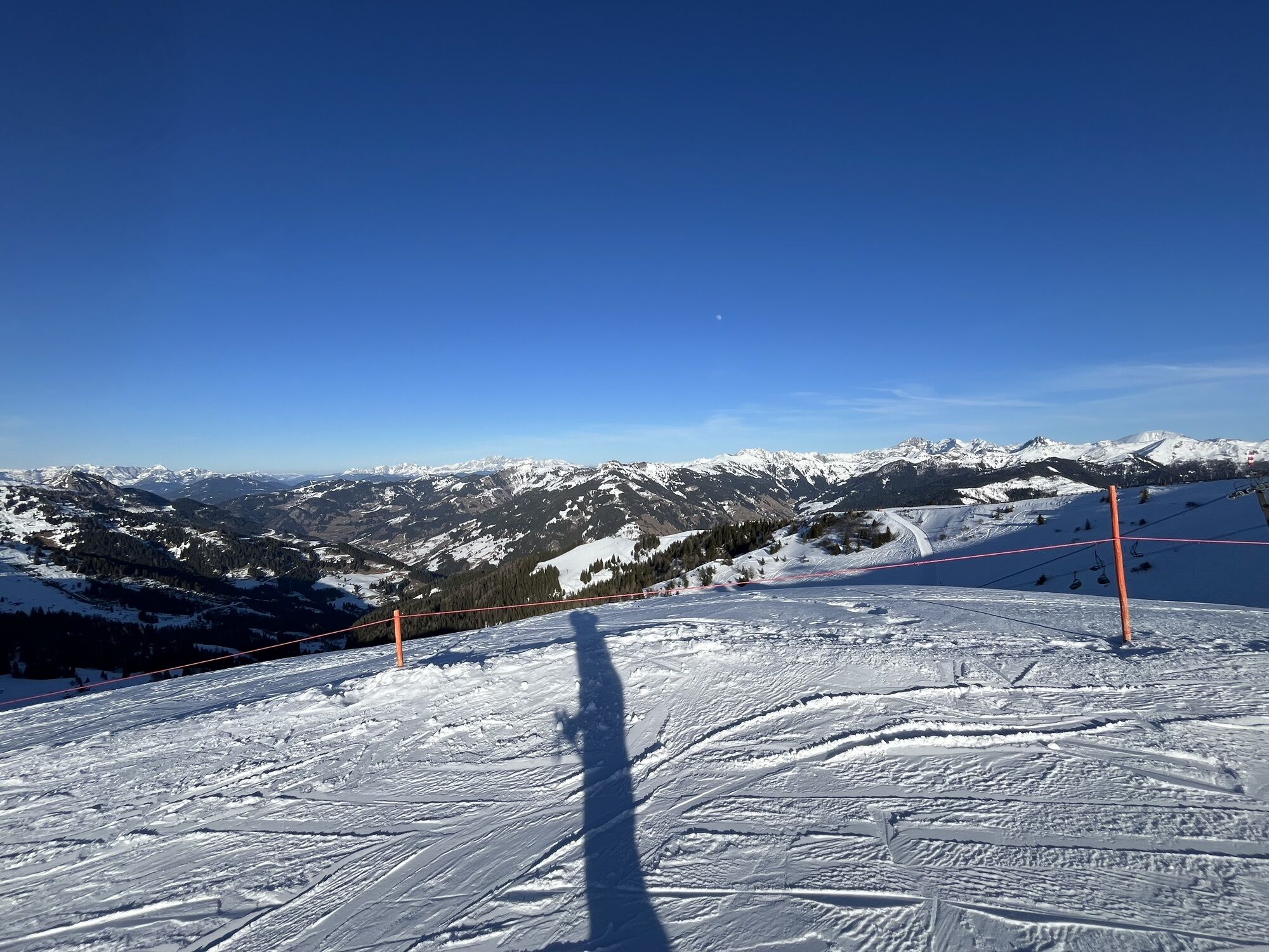
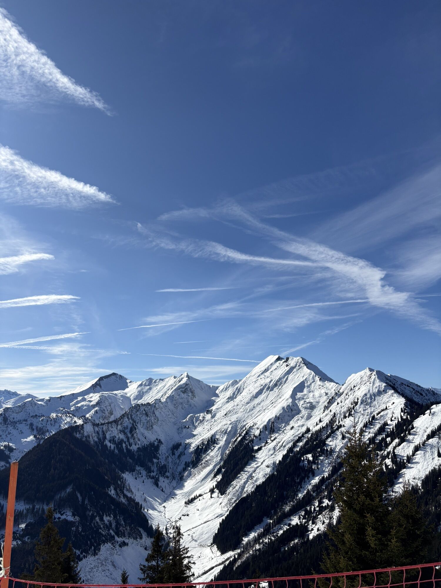
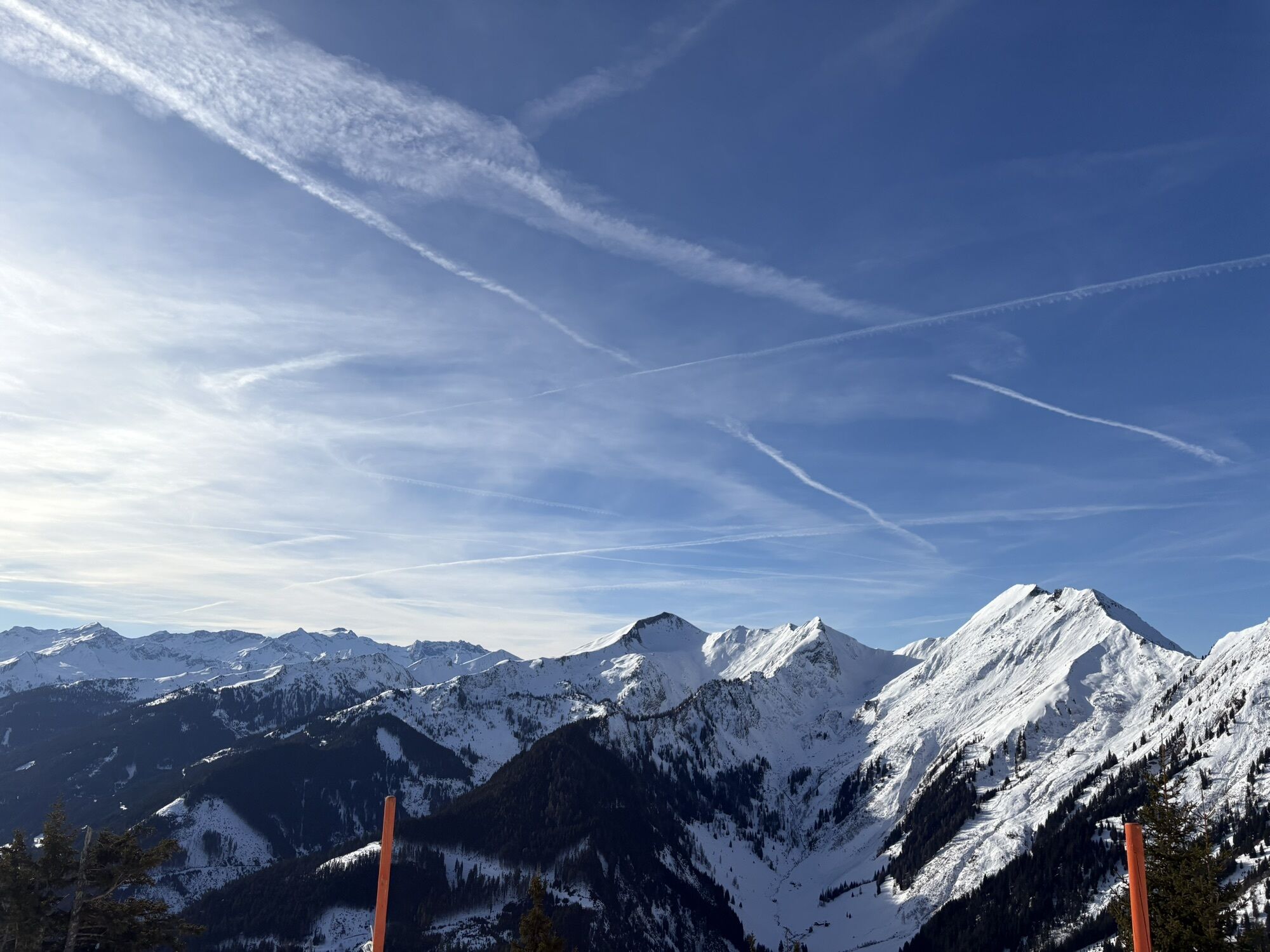
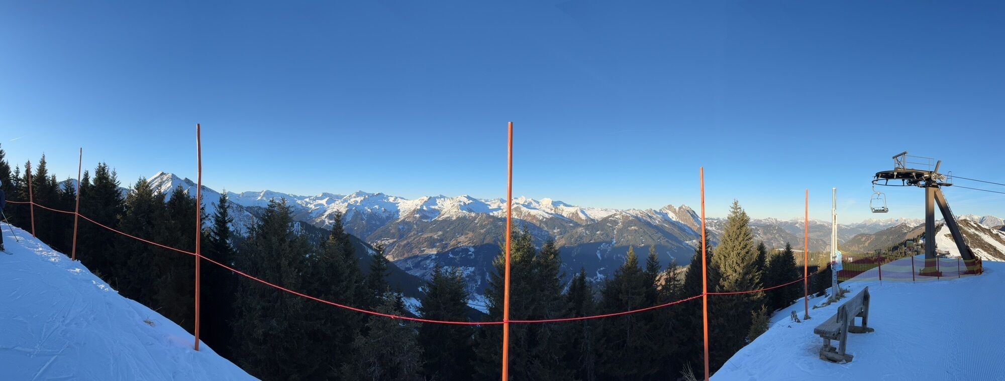
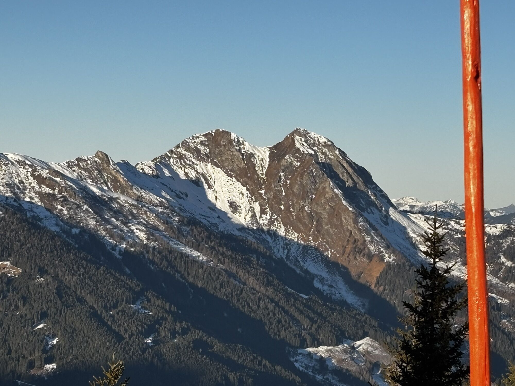
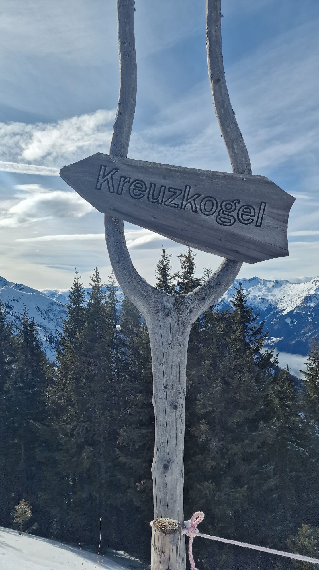
Ride with the Panoramabahn Großarltal up to the Panorama plateau. Here you have the opportunity to indulge yourself with delicacies at the Laireiteralm. Upslope, it goes very leisurely along a forest road to the Kreuzkogel. Where skiers race down the mountain in winter, you can comfortably hike in the summer. Just below the Kreuzkogel, you will be treated to delicacies at the Schialm. From the Kreuzkogel, you have a magnificent view of the surrounding mountains and experience a real summit experience, even though you have been on the way for only about half an hour. Then continue very leisurely to the Harbach hut and the Gehwolfalm. At both huts, you will be treated to delicacies. Afterwards, you have the choice: either go uphill to the Panoramabahn mountain station or downhill to the middle station and take the gondola back down to the valley.
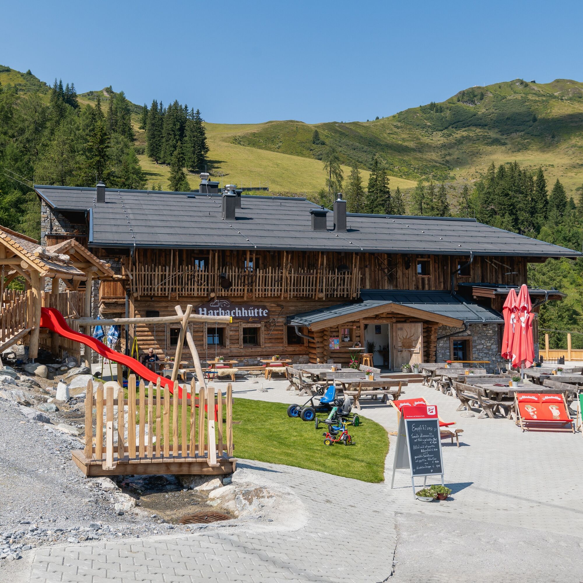
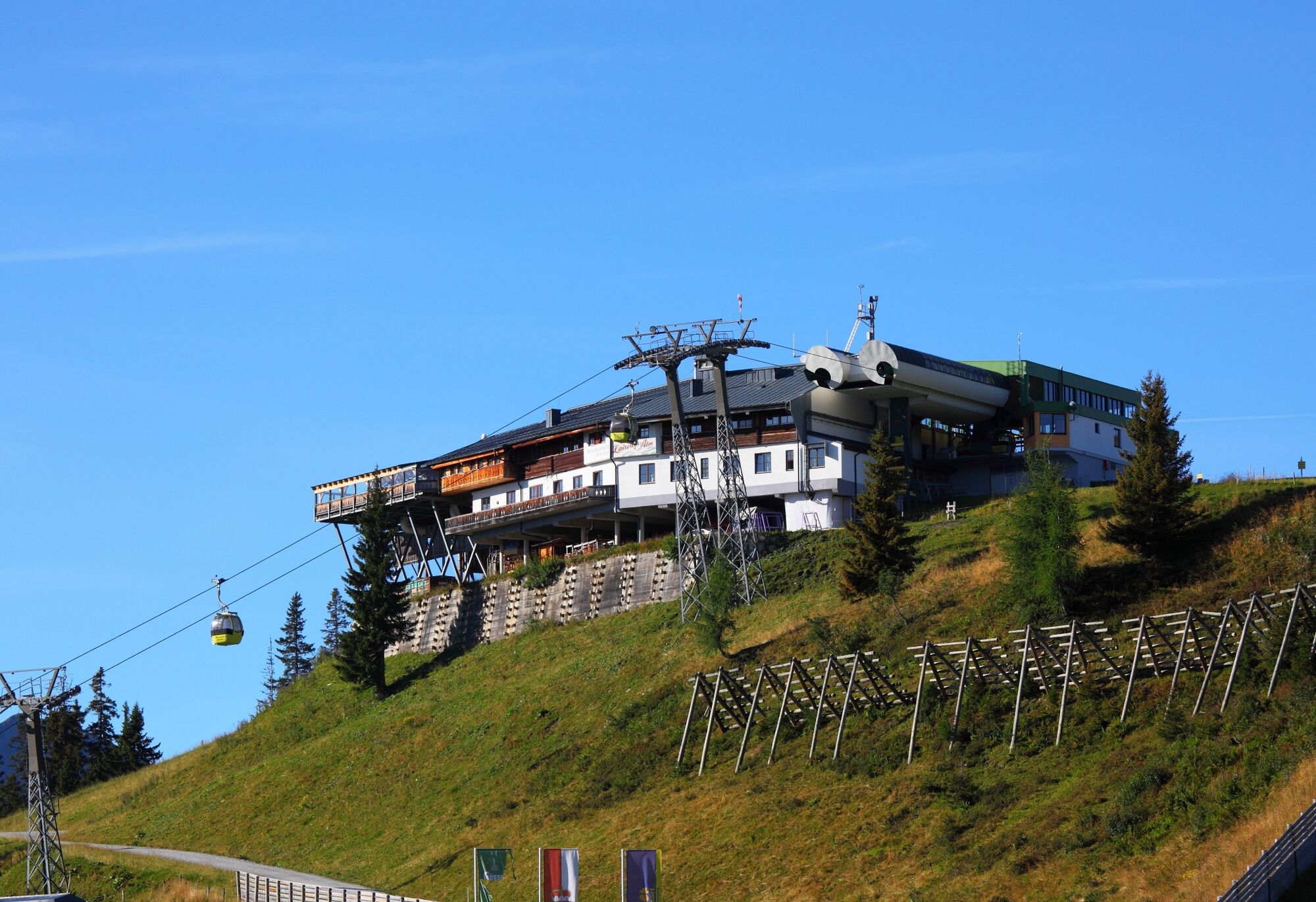
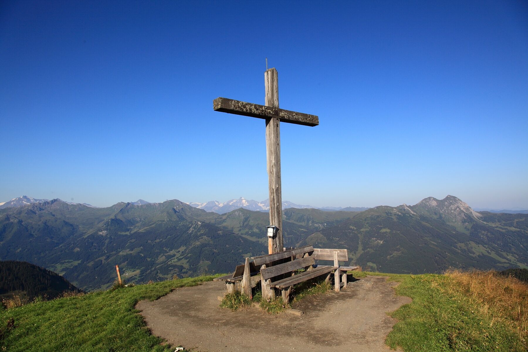
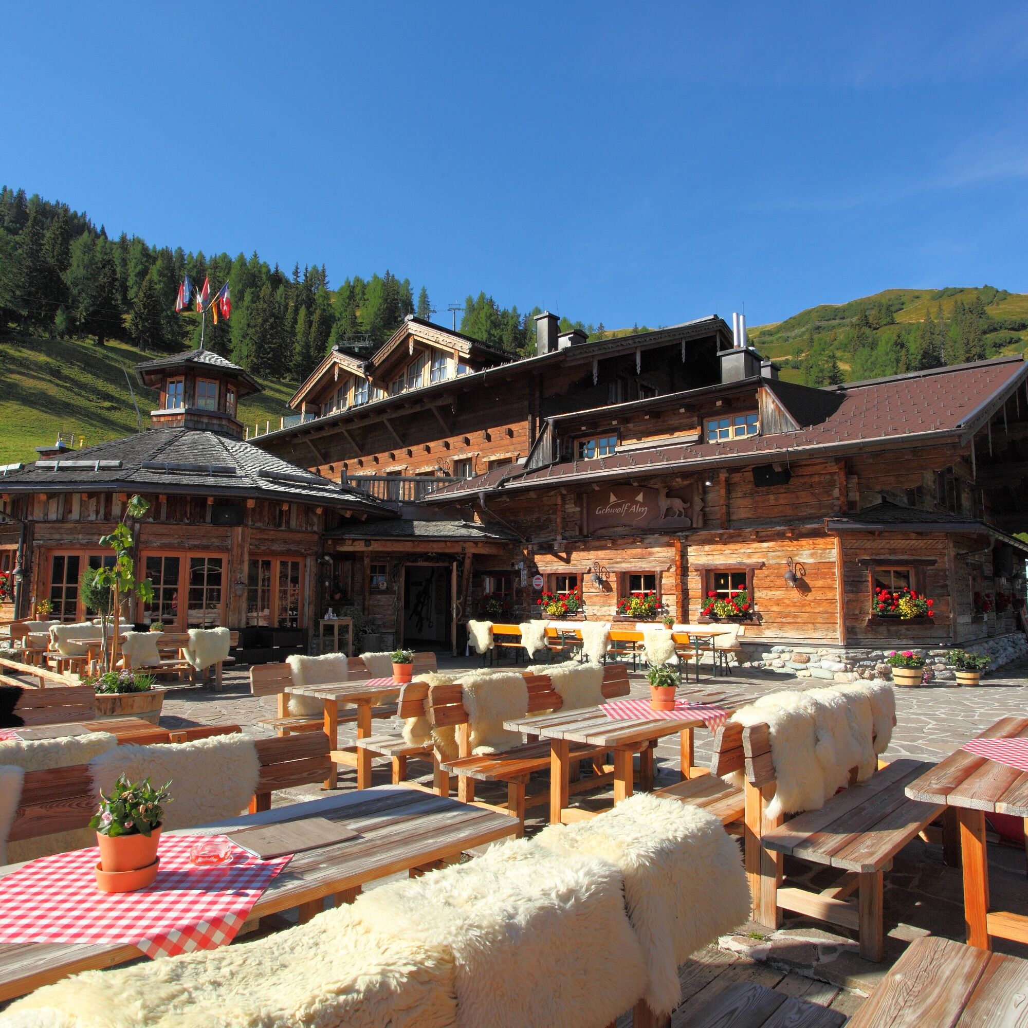

Ascent with the Panoramabahn Großarltal up to the Panorama plateau, 1,840 m - leisurely climb on the forest road (path no. 36) to the Kreuzkogel, 2,027 m (about 1/2 hour). Short ridge hike towards Fulseck - descent via the Almsteig (path no. 36B) to the Harbach hut, 1,683 m and to the Gehwolfalm, 1,675 m (about 3/4 hour). From here, either take the forest road (path no. 36) uphill (about 1/2 hour) back to the Panoramabahn mountain station or downhill on path no. 36 (about 3/4 hour) to the middle station.
Tak
Tak
Tak
Hiking boots with profiled sole, hiking map
Travel by car or by Postbus line no. 540 from St. Johann im Pongau/Hüttschlag to Großarl (bus stop Sports Center).
Mountain railways parking lot
If you walk from the Kreuzkogel about half an hour further towards Dorfgastein, you will reach the Spiegel lake, where there is a barefoot path and a wobbling rock path. This lake is especially popular with families with children.
Kamery internetowe z trasy
-
Kreuzkogel
-
Fulseck
-
Dorfgastein - Spiegelsee
-
Bergstation 6er Sesselbahn Harbach
-
Gästehaus Hagenhofer - Dorfgastein
-
Ellmautal - Palfenhof
-
Kühhagerbahn Bergstation
-
Großarl - Ort
-
Dorfgastein - Spiegelsee
-
Dorfgastein - Spiegelsee
-
Dorfgastein - Spiegelsee
-
Dorfgastein - Spiegelsee
-
Dorfgastein - Bergl
-
Großarl - Kieserlbahn
-
Grossarl - Hotel Gasthof Schützenhof
-
Großarl - Hotel Kristall Übungslift
-
Bergstation Kieserl
-
Fulseck
-
Großarl
Uzyskaj wgląd
Zawsze na żywo z ponad 9 500 kamer internetowych. bergfex Jako użytkownik Pro, możesz teraz zobaczyć odpowiednie kamery internetowe dla wielu wycieczek w aplikacji wycieczki od. Pozwala to na bezpośredni podgląd aktualnych warunków.

Popularne wycieczki w okolicy
-
5,0
Hüttschlag: Karteistörl - Tappenkarsee - Draugsteintörl - Draugsteinalmen
średniWędrówka 13,5 km -
5,0
Großarl: Heukareck
średniWędrówka 12,5 km -
4,9
Großarl: Aualm - Liechtensteinkopf - Aukopf - Schuhflicker - Schuhflickersee
średniWędrówka 5,84 km -
4,8
Highlight Kitzlochklamm Classic round
średniWędrówka 2,02 km -
4,2
Tappenkarsee Kleinarl
średniWędrówka 9,11 km -
4,9
Großarl: Alpine pasture circuit in Ellmautal
średniWędrówka 9,69 km -
4,6
Großarl: Mooslehenalm – Niggeltalalm – Viehhausalm
średniWędrówka 5,44 km -
4,7
Großarl: Saukaralm - Saukarkopf - Gerstreitalm
średniWędrówka 9,39 km -
4,5
Gasteiner Höhenweg von Bad Gastein nach Bad Hofgastein
światłoWędrówka 8,58 km -
4,8
Großarl: Bichlalm
średniMountainbike 18,9 km
Wędrówki i tropienie


Nie przegap ofert i inspiracji na następne wakacje
Twój adres e-mail została dodana do listy mailingowej.





