






3-summit route

Poziom trudności: T1
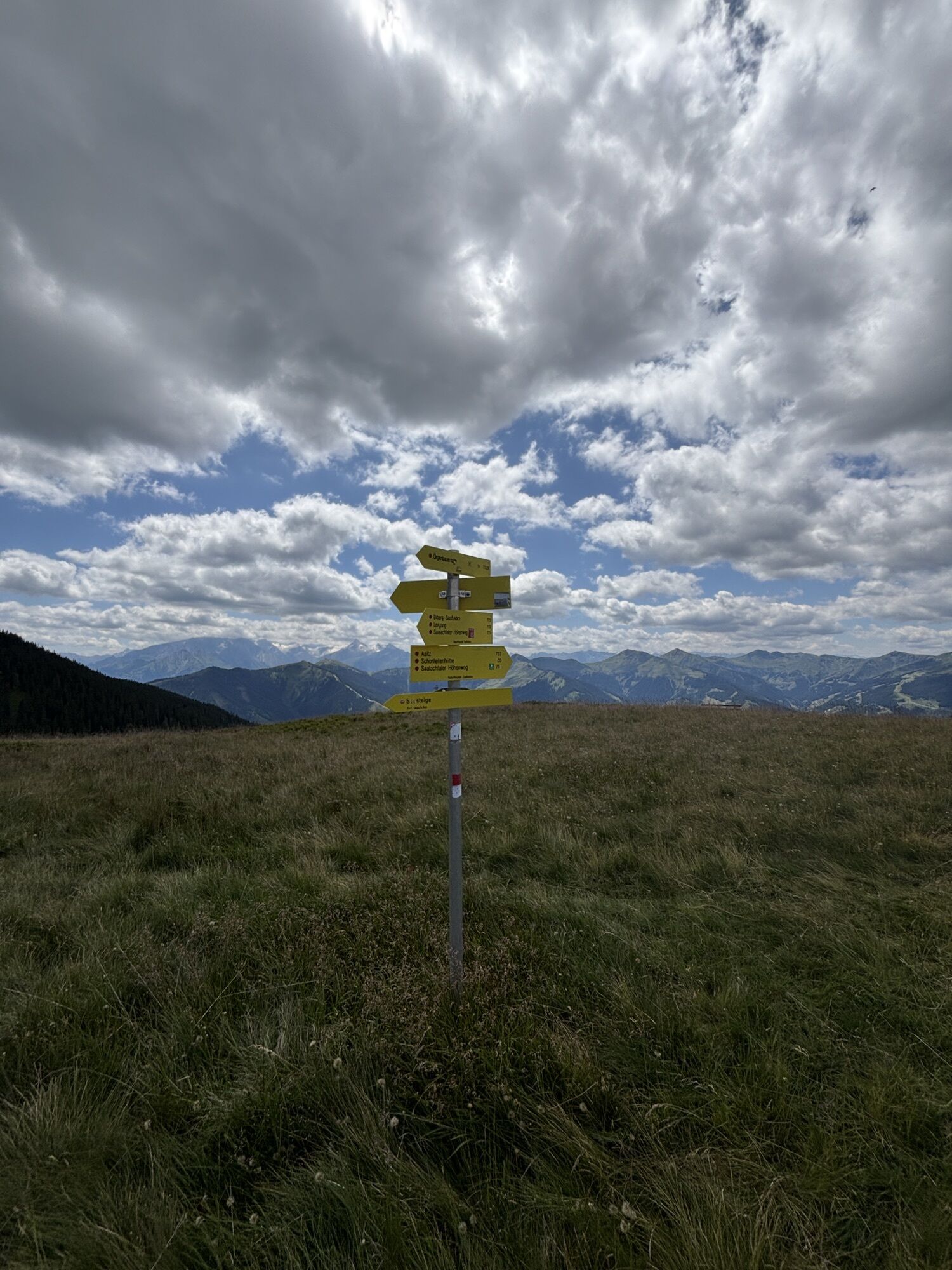
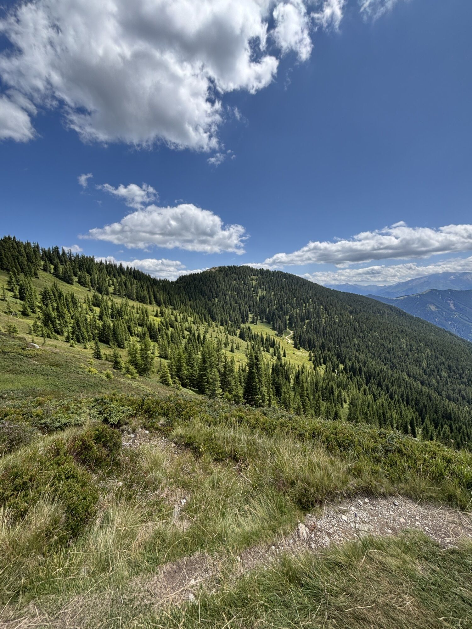
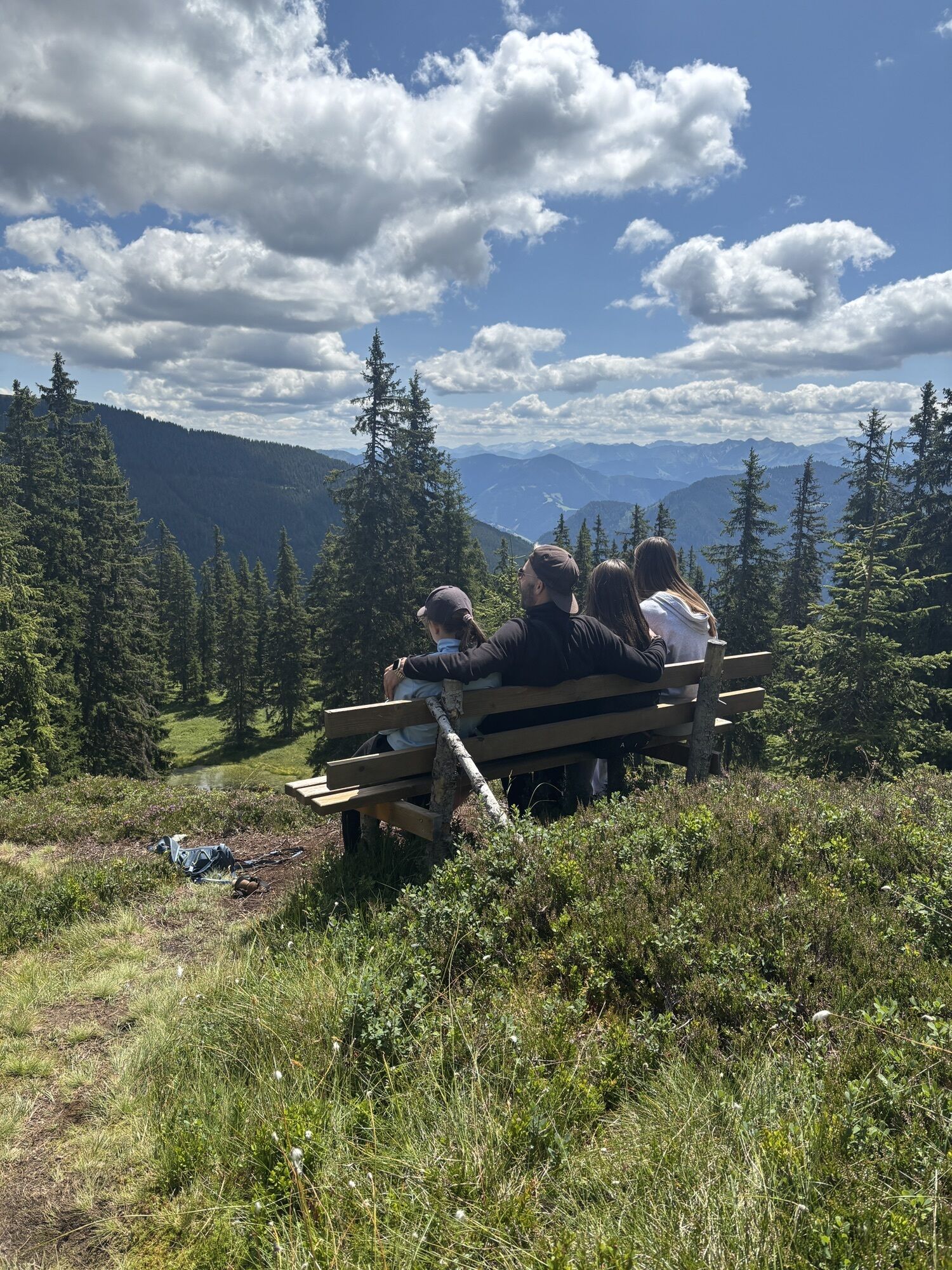
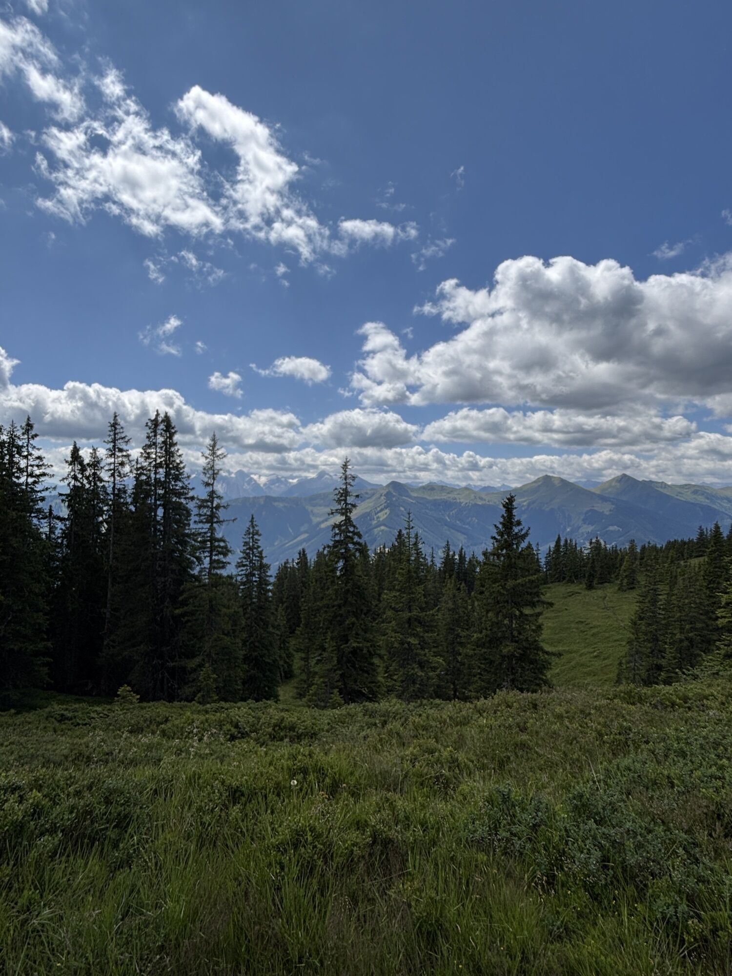
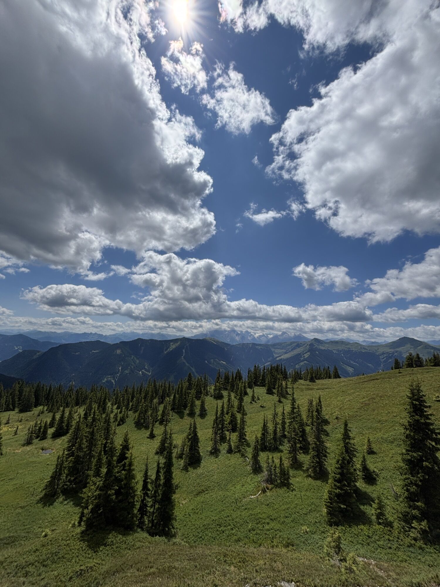
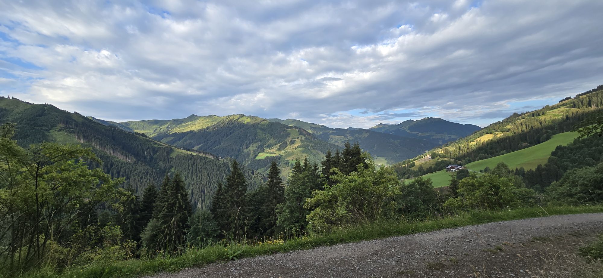
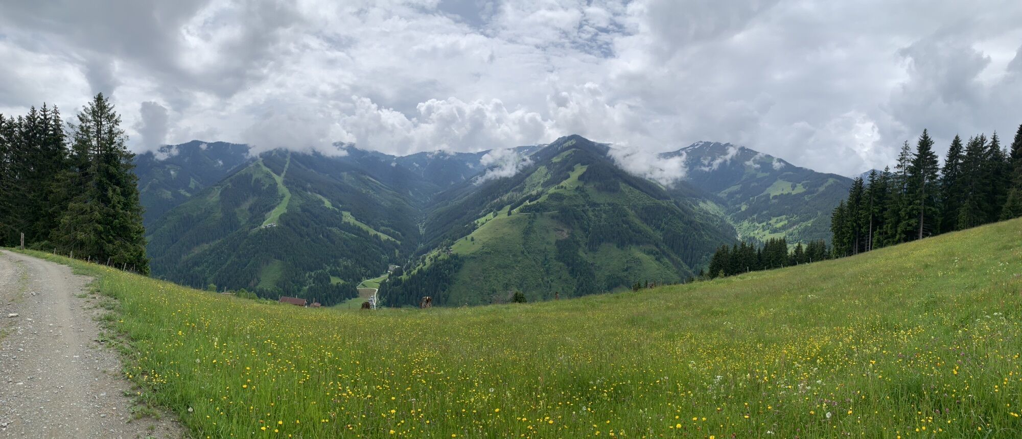
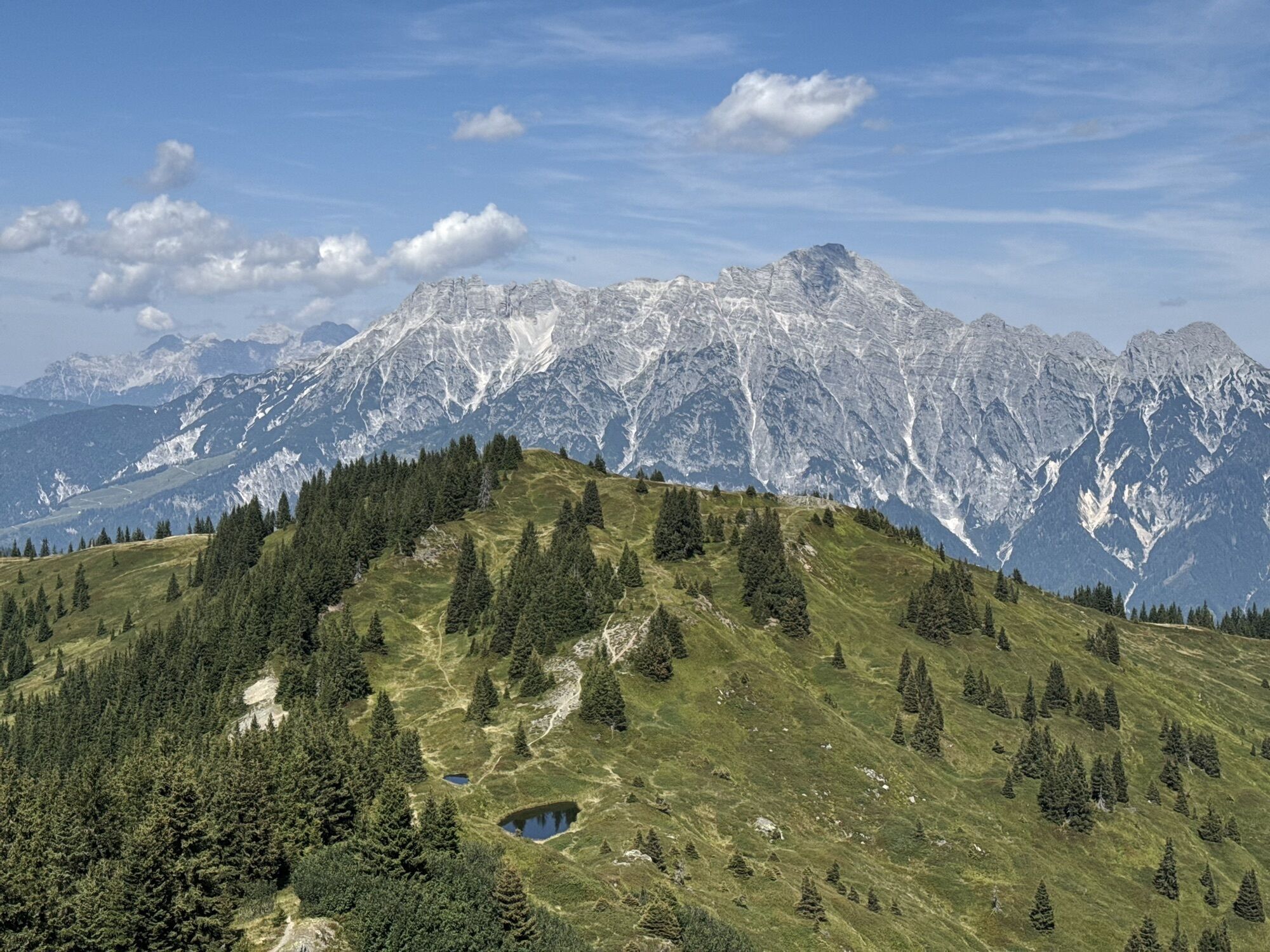
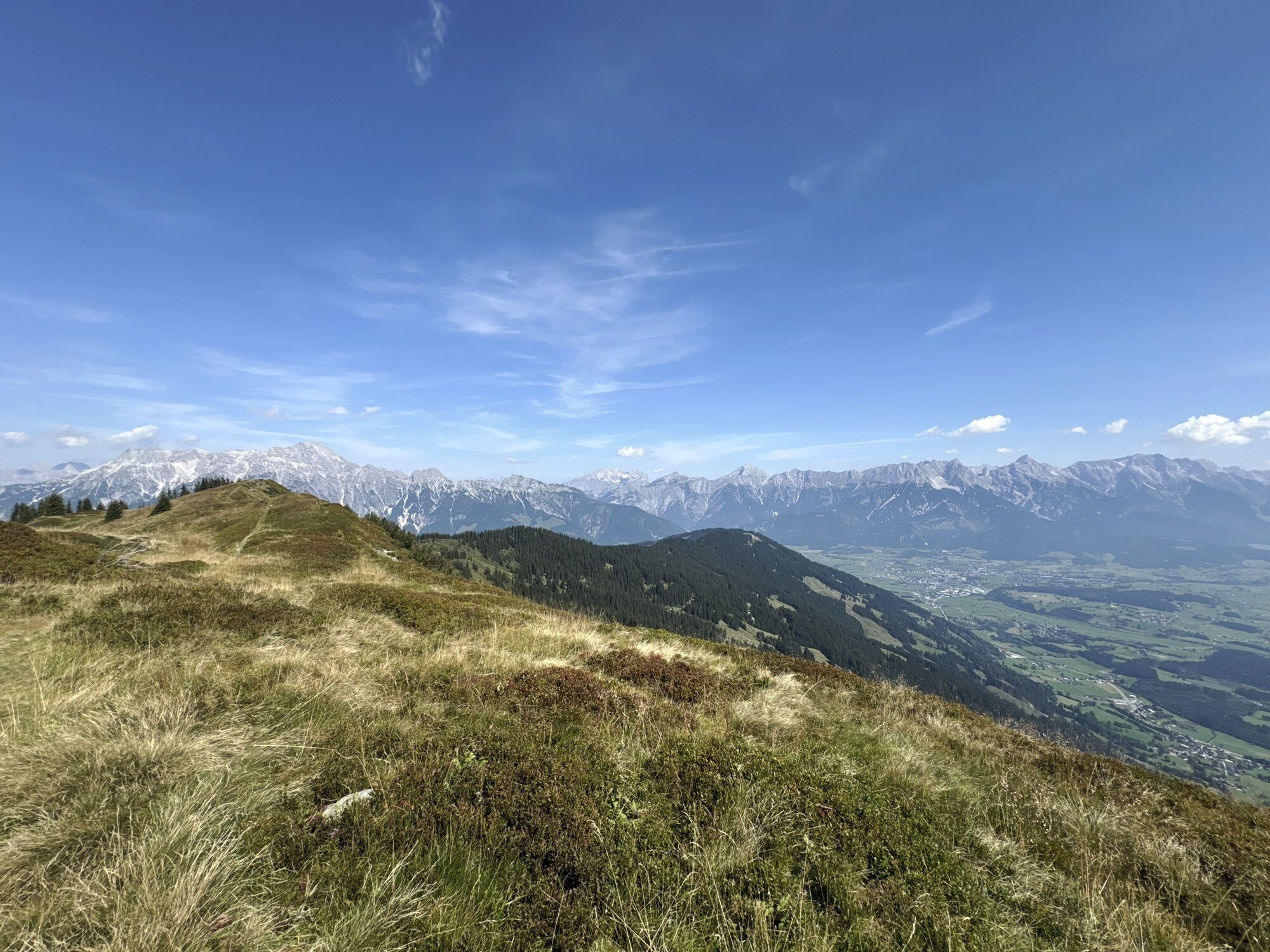
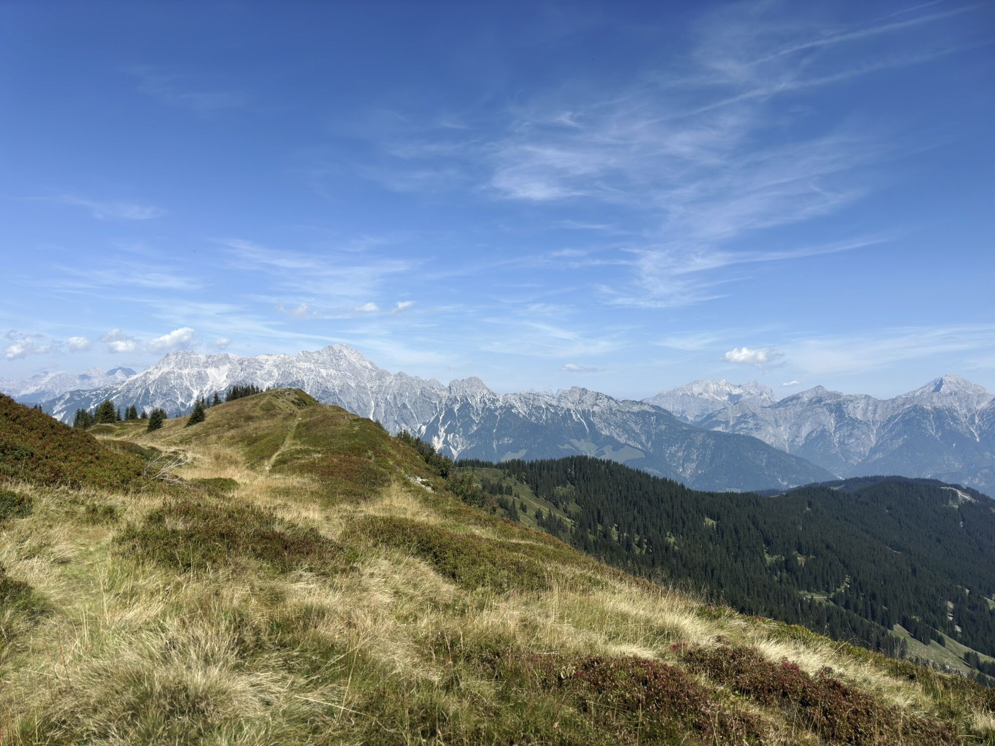
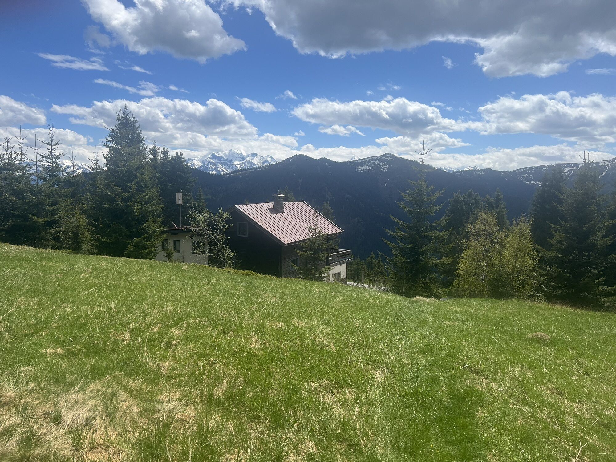
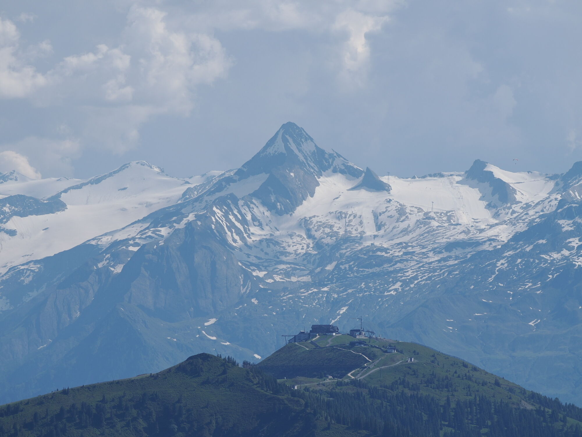
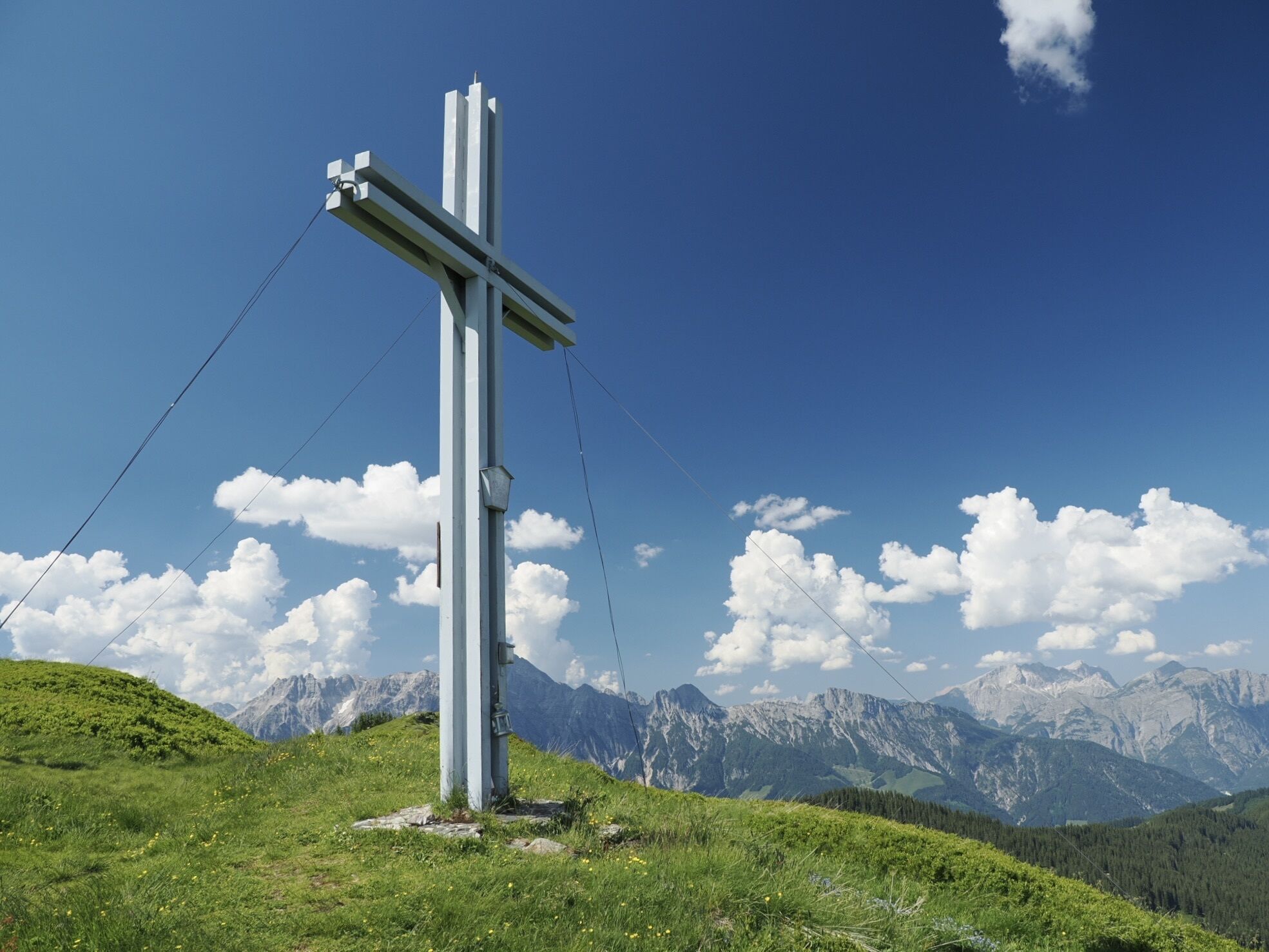
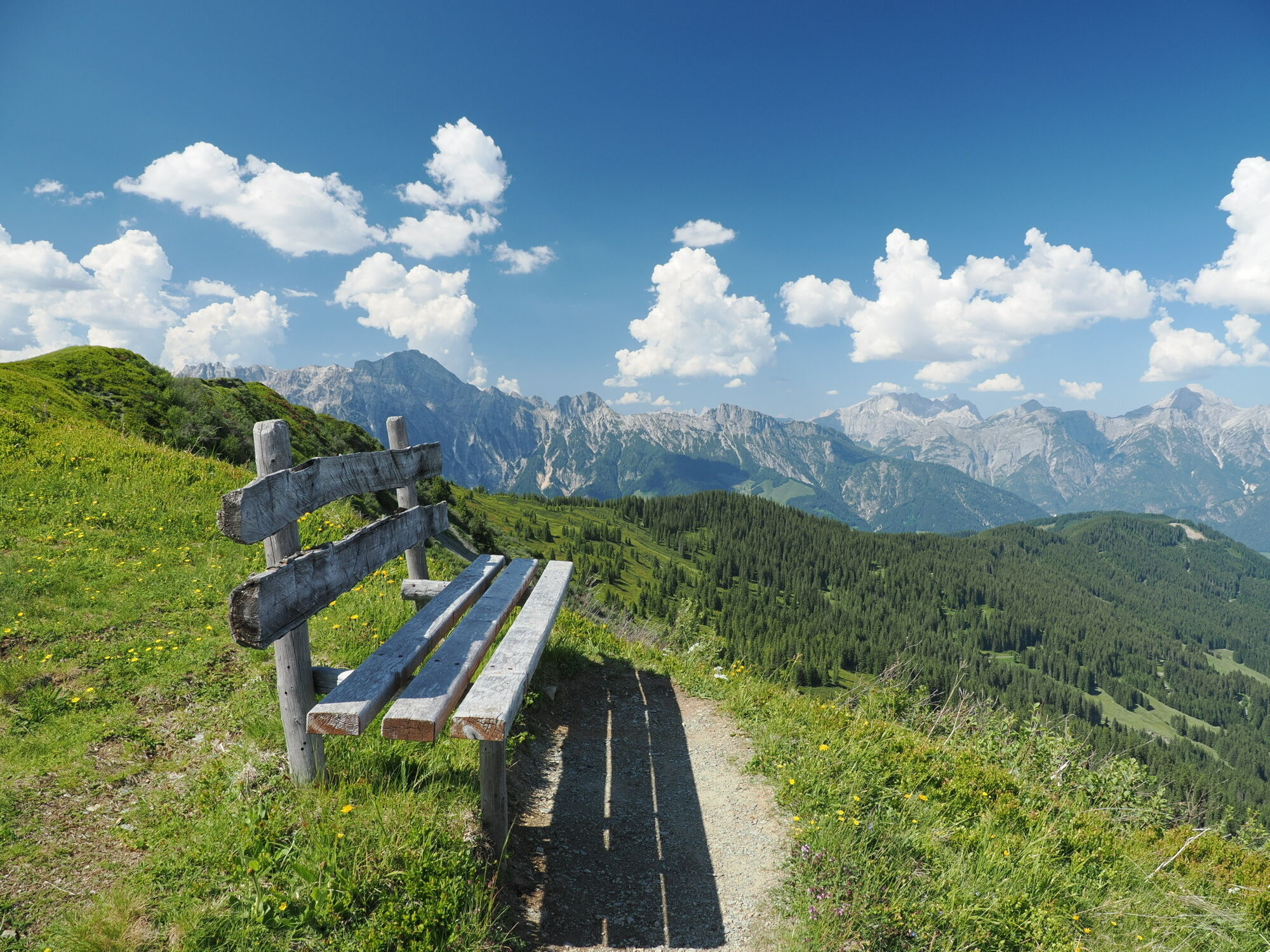
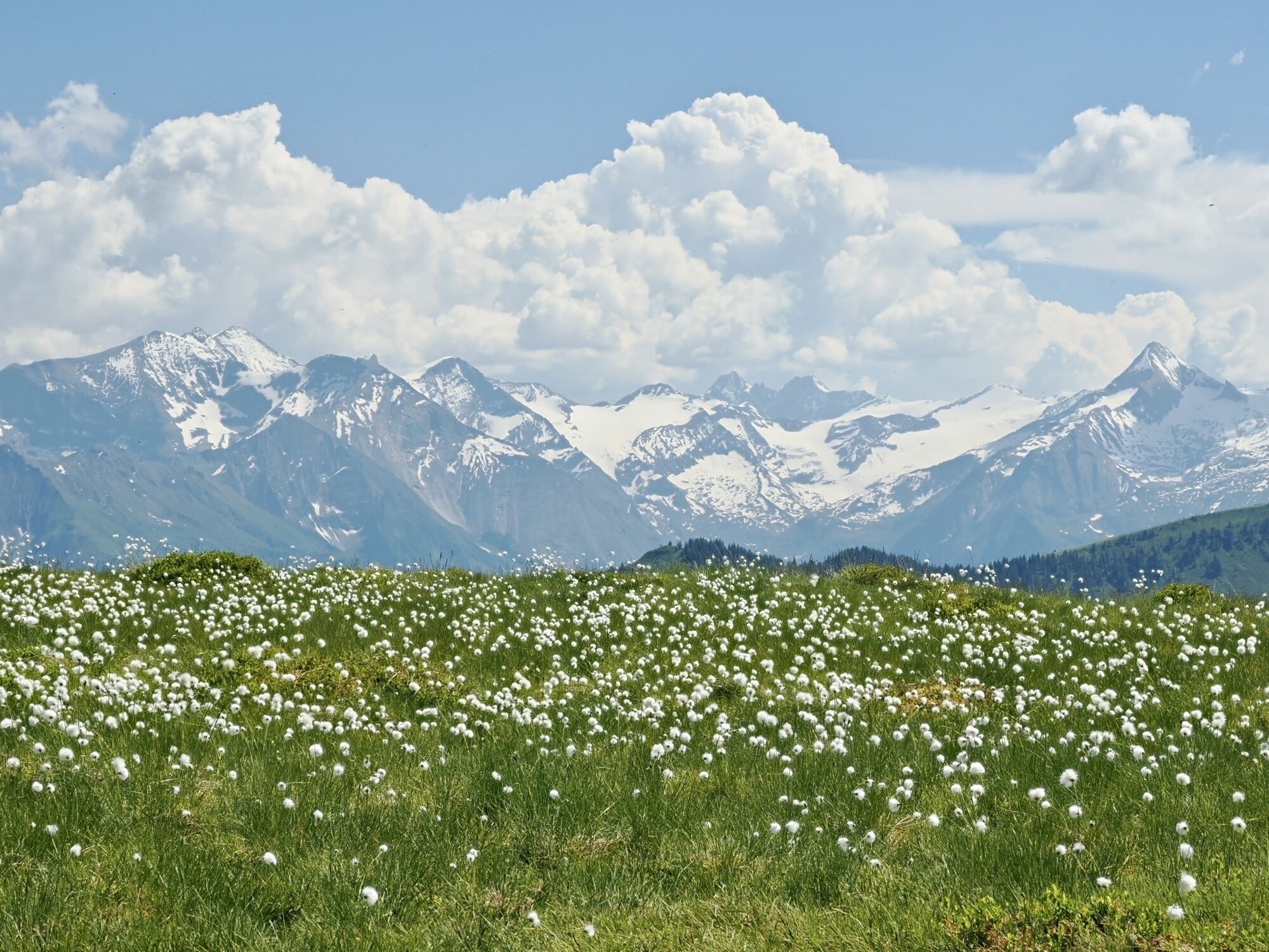
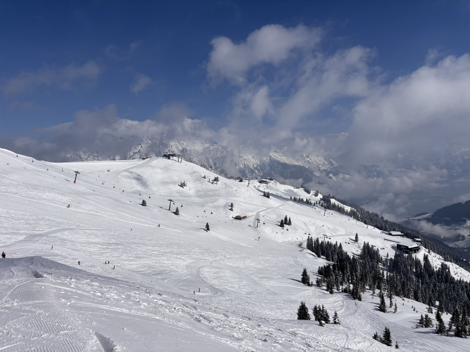
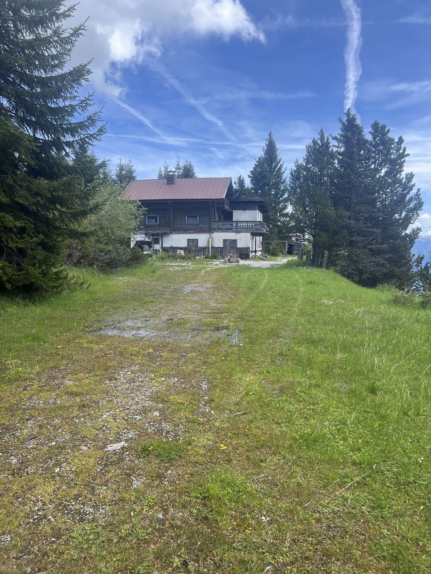
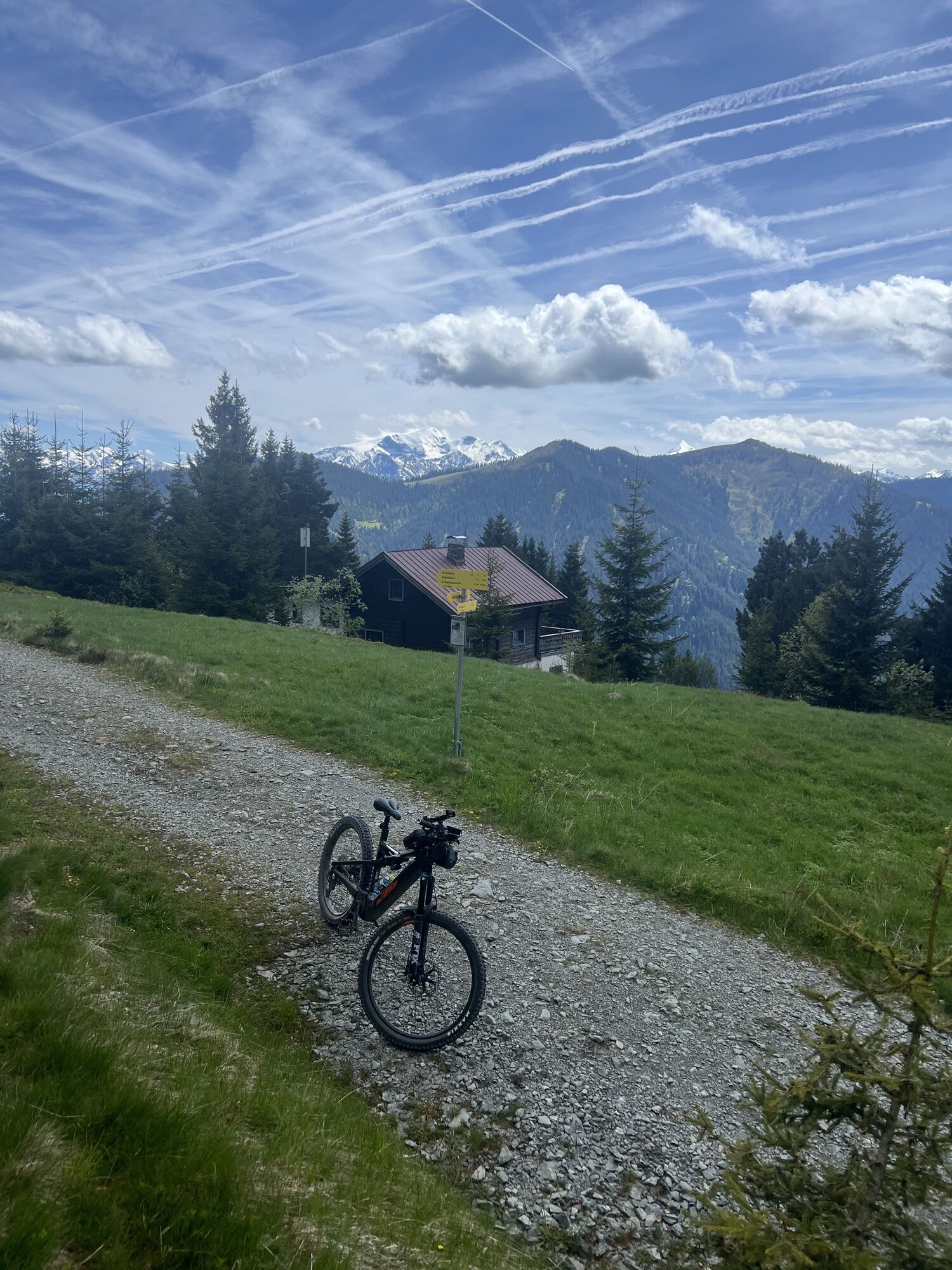
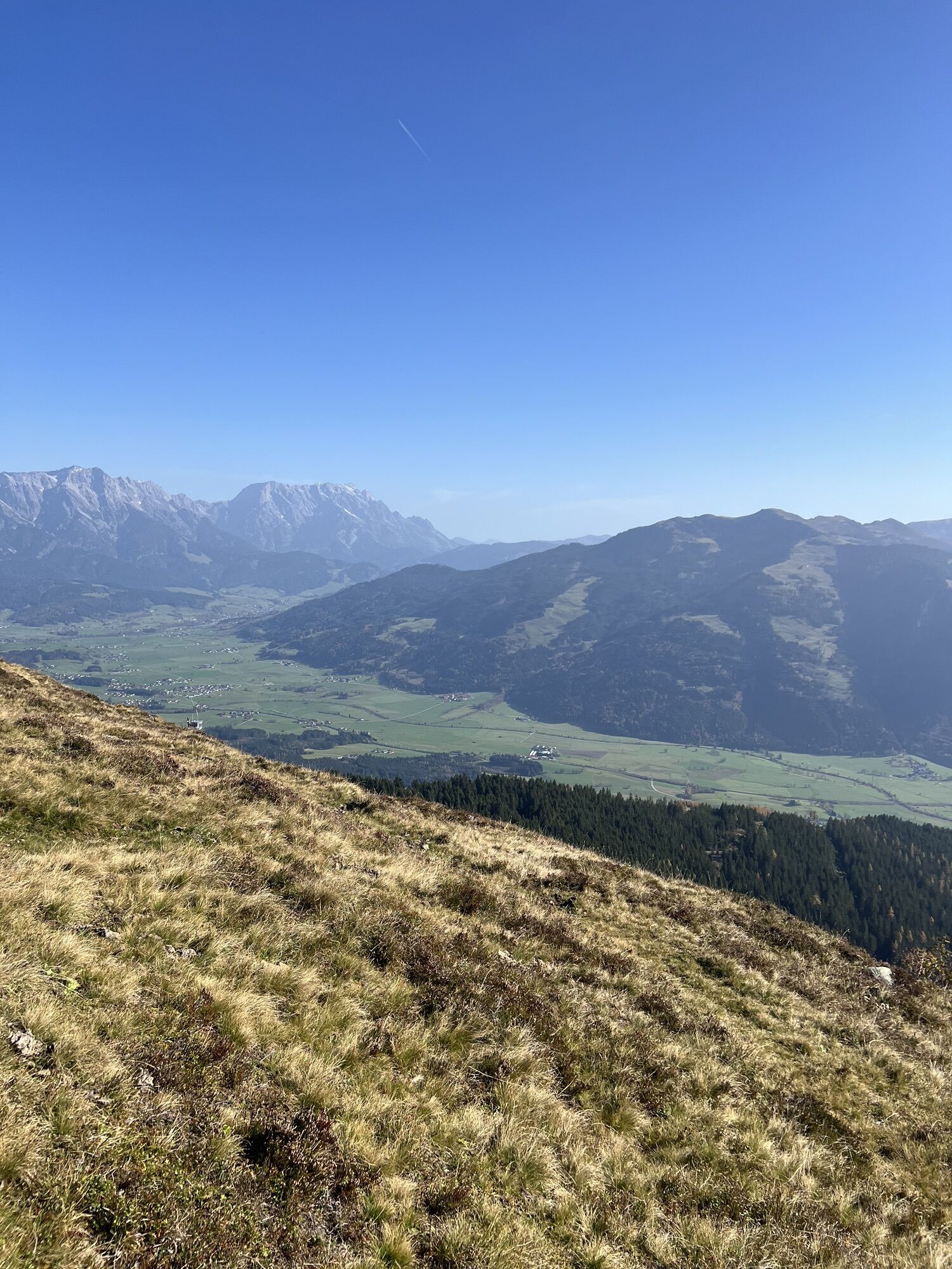
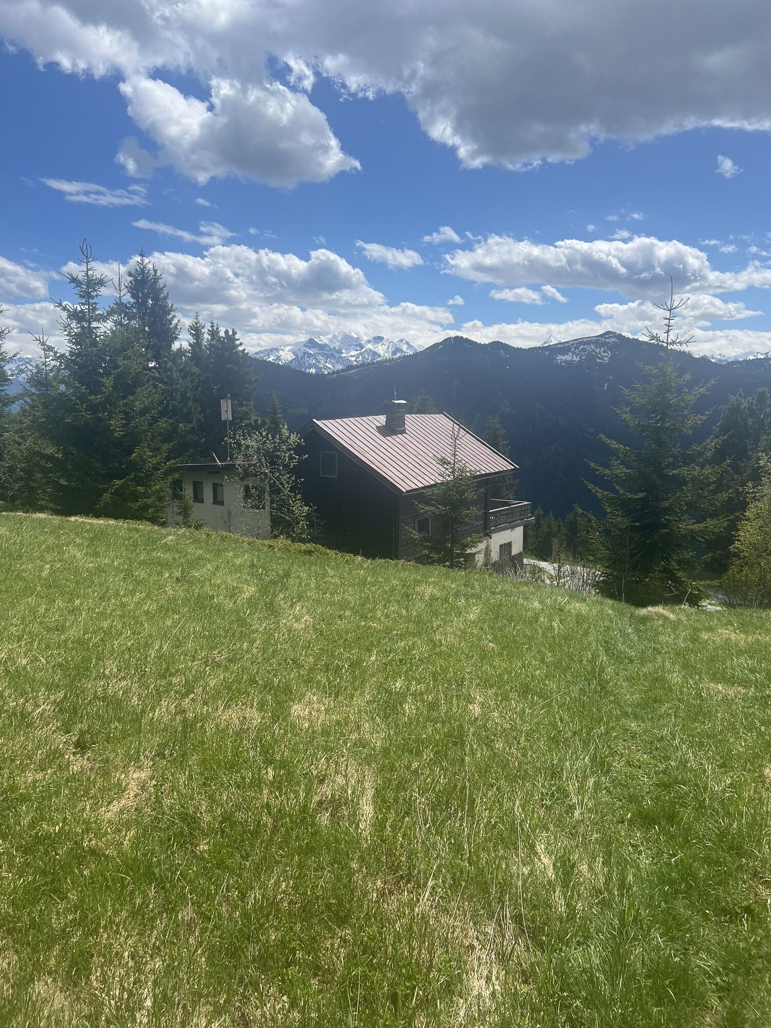
Very beautiful panoramic hike with a fantastic view.

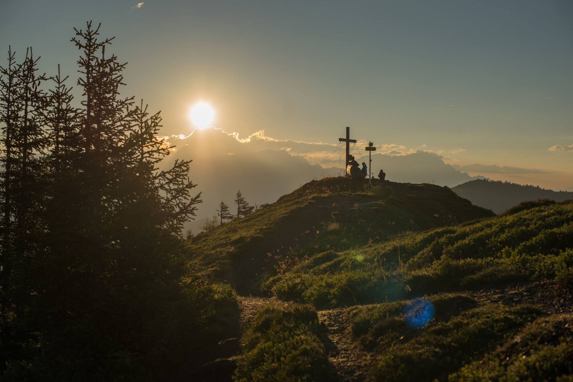
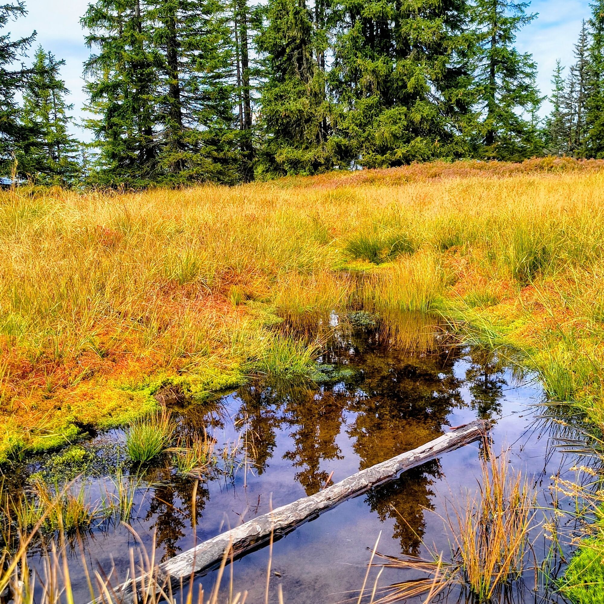
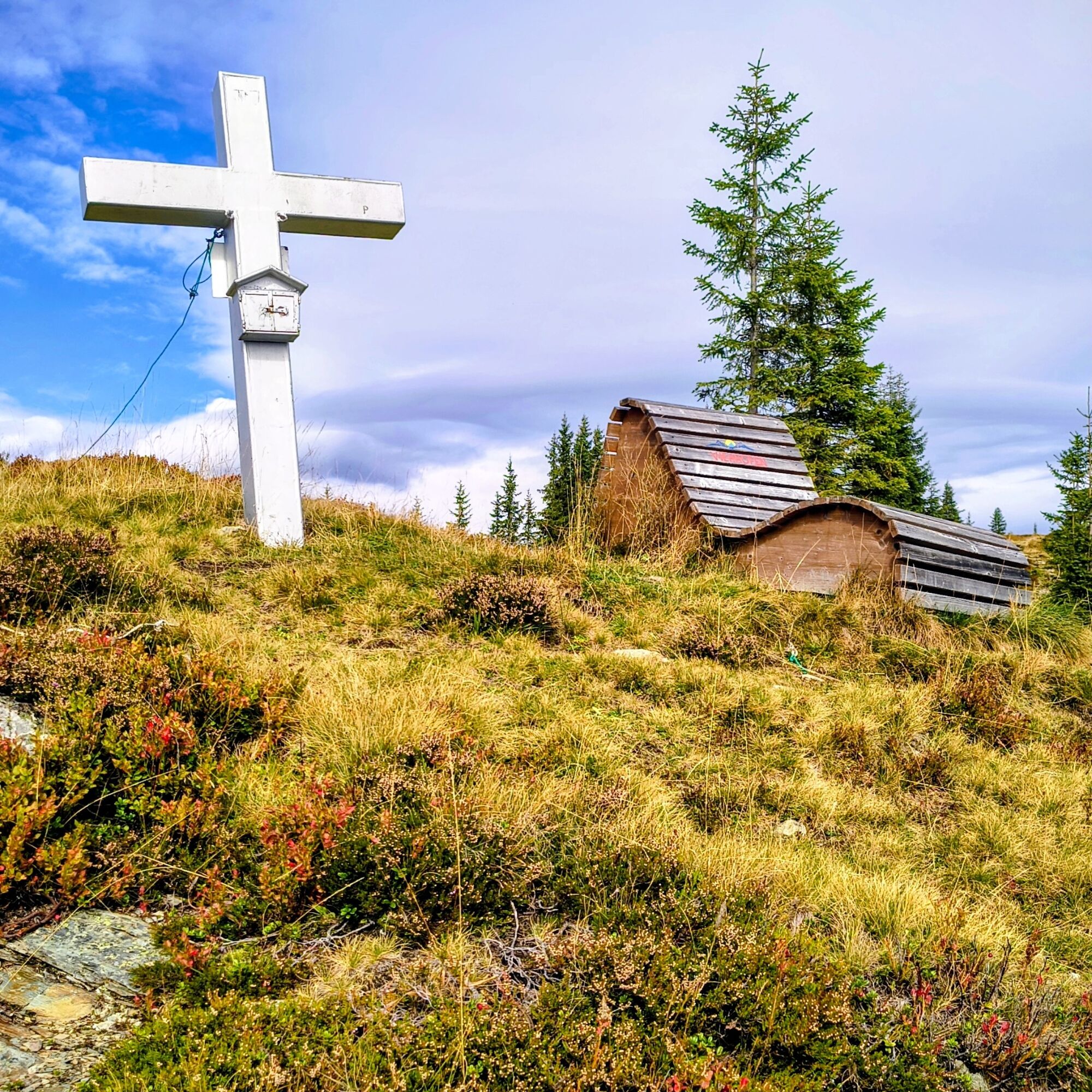

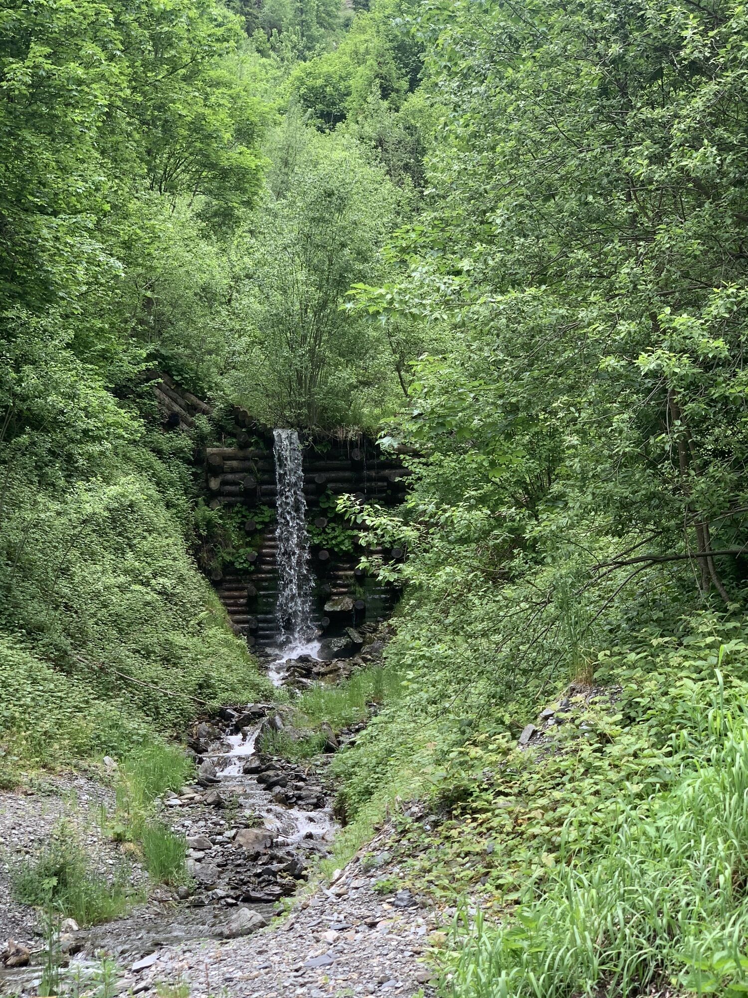
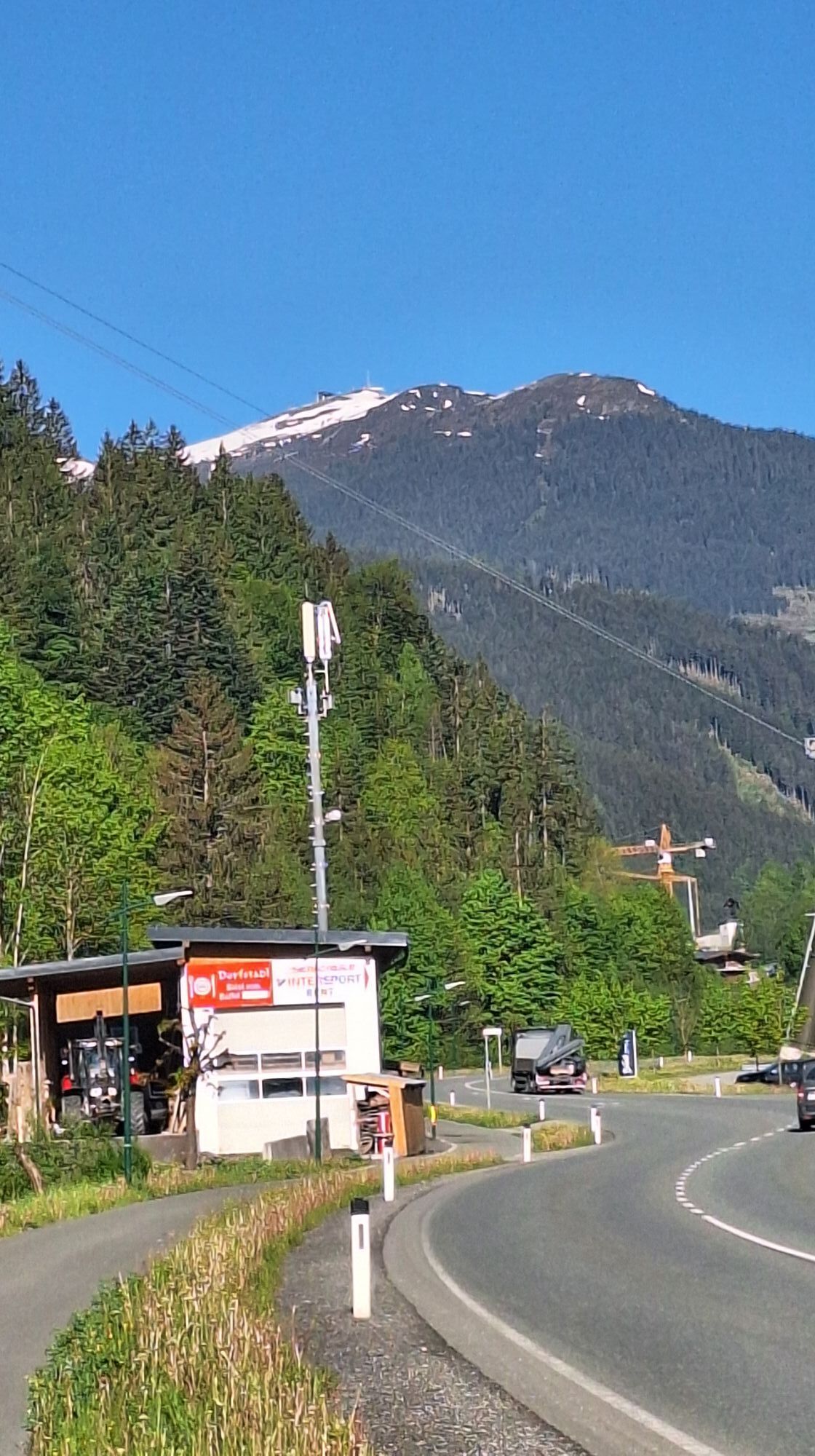
Follow Dorf and Erzbachstraße up to the flood barrier, cross it, and follow the signage. The first summit is Sausteigen (1,912 m), then continue along the Saalachtaler Höhenweg to Geierkogel (1,853 m) and Schaberg (1,888 m). The descent is via the Hecherhütte. About 50 m below the Hecherhütte, turn right and continue towards "Rembergalm." Before the hut, cross the creek on the left and continue downhill on the forest road. Follow the road between the farms. At the first hairpin turn, turn left and follow the path to the main road. Cross this and go left along the cycle/pedestrian path back to the village square.
Tak
Tak
Sturdy footwear, rainwear, and sun protection are recommended.
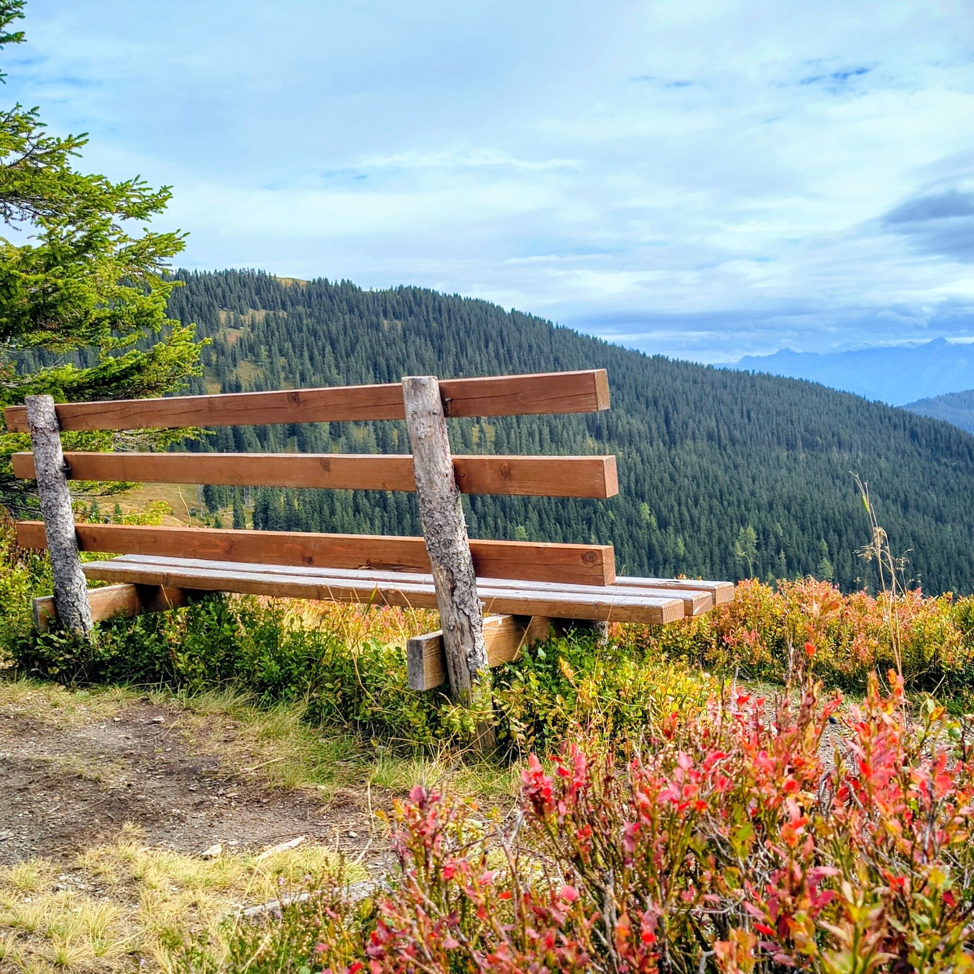
Use the shelter huts not only to rest but also as protection against thunderstorms, storms, and hail.
Viehhofen lies in the Glemmtal valley between Zell am See and Saalbach-Hinterglemm. Both places are about 9 km away.
From the direction of Zell am See and Saalfelden, turn off at Maishofen into the Glemmtal valley. From Maishofen, it is about 5 km to Viehhofen.
Arrival by train to Zell am See. Bus no. 680 runs hourly between Zell am See and Viehhofen. The starting point of the route is located directly at the stop "Viehhofen Ortszentrum."
Right in the center of Viehhofen, there is a public parking lot that can be used free of charge during the day. The starting point is located directly at this parking lot.
T1
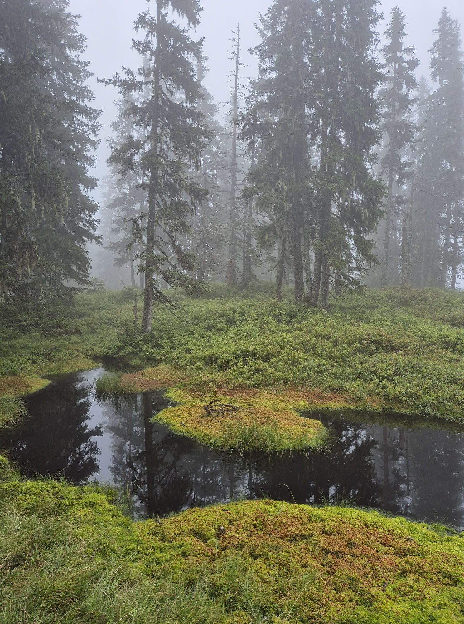
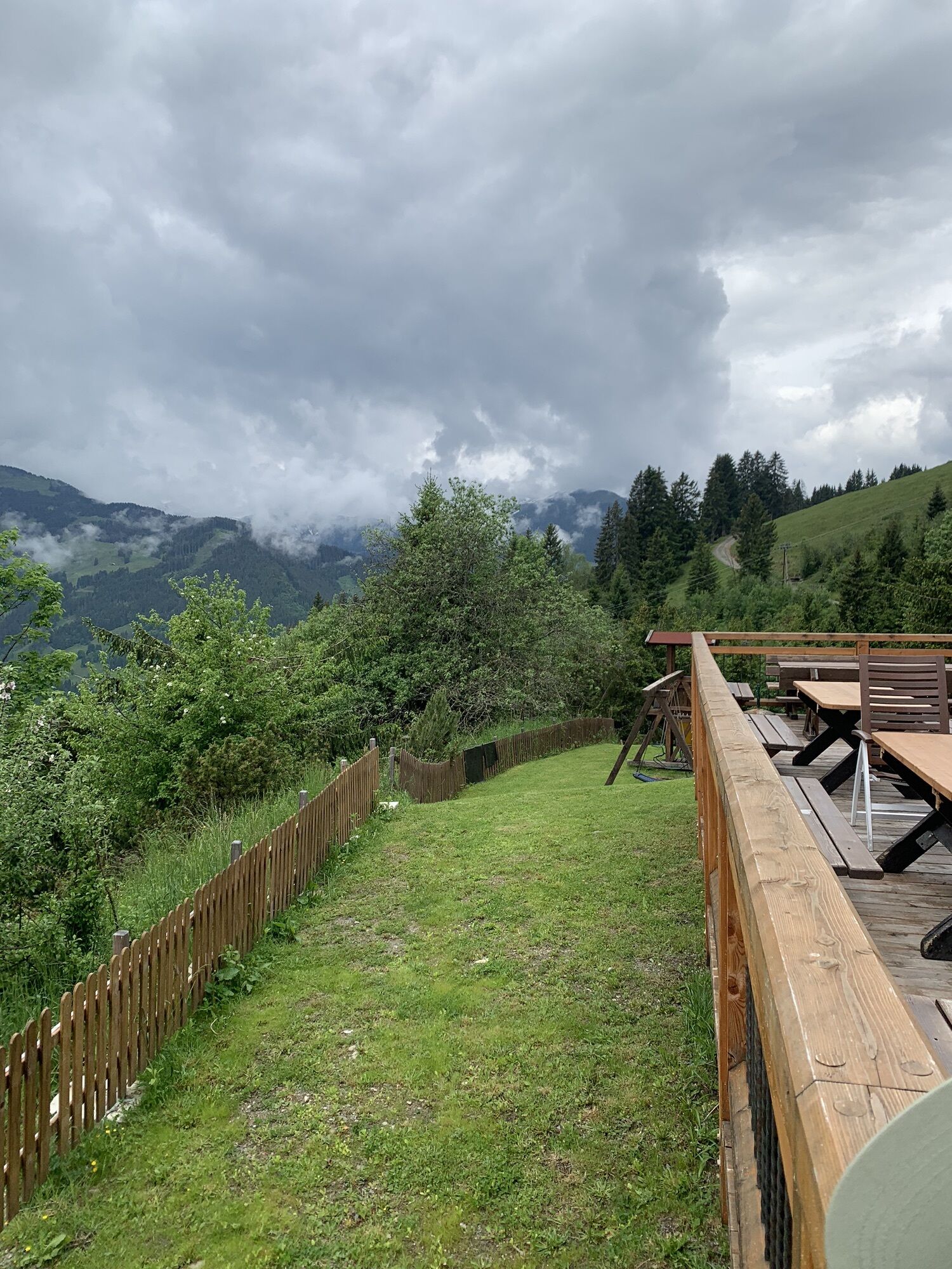
Visit the Viehhofener Lacken. Place to eat: Hecherhütte
Kamery internetowe z trasy
-
Schmittenhöhe
-
Asitz Gipfel
-
Berghotel Seidl-Alm
-
Asitz Mittelstation
-
Kohlmais Tal
-
Sonnkogel
-
Schmittenhöhe
-
Asitz Talstation
-
Schmittenhöhe
-
Schmittenhöhe
-
Großer Asitz / Gipfelkreuz
-
Leogang Schanteilift
-
Saalbach-Hinterglemm - Wildenkarkogel
-
Wildenkarkogel
-
Talstation Asitzbahn
-
Maishofen Sausteige
-
Maishofen - Schloss Kammer
-
Saalbach-Hinterglemm - Kohlmais
-
Leogang - Grosser Asitz
-
Maishofen Dorfplatz
-
zellamseeXpress
-
Schmittenhöhe
-
Schmittenhöhe


Popularne wycieczki w okolicy
-
4,4
Schwalbenwand Nr. 80, 81, 82
średniWędrówka 13,0 km -
4,6
Peter-Wiechenthaler Hut
średniWędrówka 4,32 km -
4,6
Steinalm
światłoWędrówka 2,71 km -
4,3
Persailhorn South via ferrata
średniVia ferrata 6,83 km -
4,2
Maurerkogel (Top)
Wędrówka 10,5 km -
4,7
Panorama route 3 peaks and 2 lakes
średniWędrówka 7,21 km -
5,0
Leo’s play hiking trail
światłoTrasa tematyczna 4,89 km -
4,6
MTB route Ramseiden round (route 1)
średniMountainbike 18,9 km -
4,2
Passauer Hütte
ciężkiWędrówka 4,14 km -
4,1
Berg der Sinne
światłoWędrówka 4,39 km
Wędrówki i tropienie


Nie przegap ofert i inspiracji na następne wakacje
Twój adres e-mail została dodana do listy mailingowej.





