







Stuhlfelden: Kälberrainrunde
Poziom trudności: T1
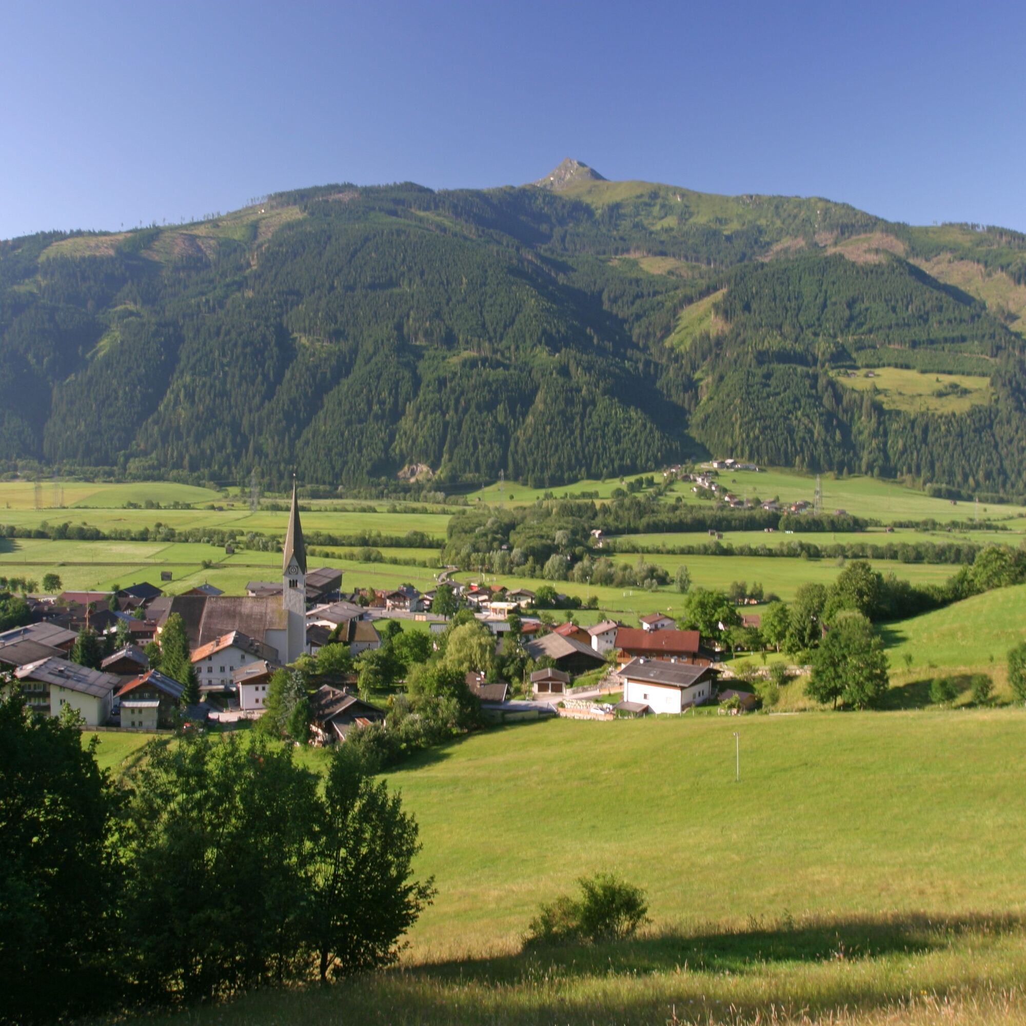
Stuhlfelden, Europe's first bow village, has already hosted a variety of events. The highlight was undoubtedly the European Championship. In 2010, Stuhlfelden was the venue for the European Bowhunter Championship...
Stuhlfelden, Europe's first bow village, has already hosted a variety of events. The highlight was undoubtedly the European Championship. In 2010, Stuhlfelden was the venue for the European Bowhunter Championship - the European championship for archers. Over 1,500 participants and spectators, a diverse supporting program from opening and closing ceremonies, parties to special seminars made the EBHC 2010 the biggest sporting event in Oberpinzgau.

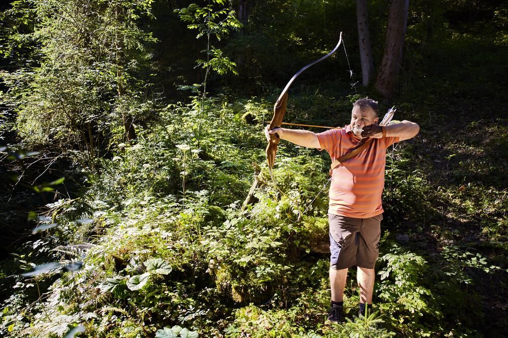

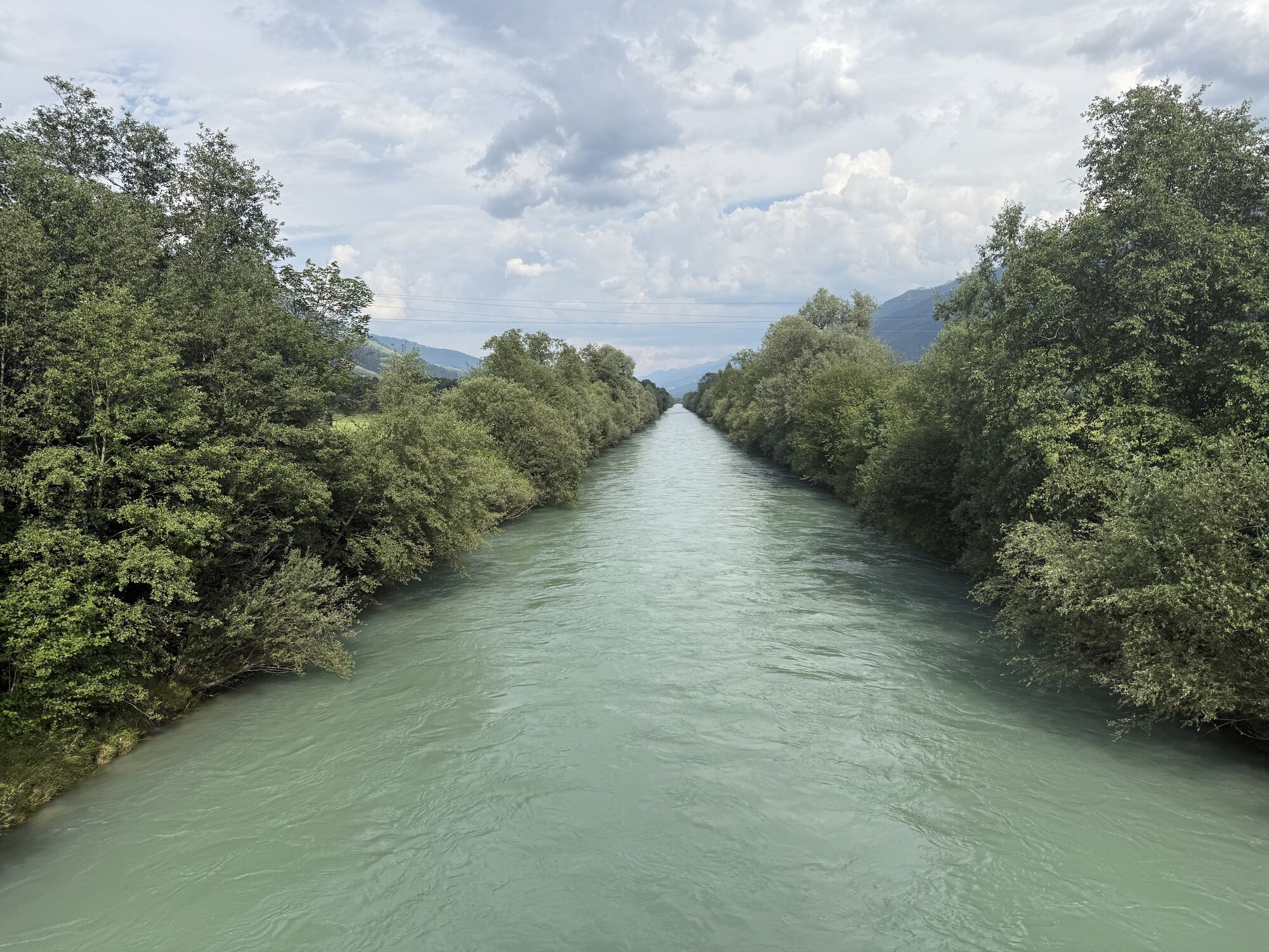
From Stuhlfelden station, first walk along the asphalt road to the district of Wilhelmsdorf. From there, follow the road uphill past the last farm. Now the asphalt road turns into a gravel road. Follow this uphill until you reach a junction. Turn left and follow the hiking signs "Kälberrainrunde". The forest path initially leads steeply uphill, but after a few altitude meters you reach a clearing with a fantastic view and a bench to rest. After this break, turn left downhill again and follow the hiking trail. After some time you reach the Stuhlfelden archery course. Always follow the hiking trail downhill until you reach the forest road at the very bottom of the valley. Turn left now and follow the asphalt road until you reach the Salzach bridge. Follow the road until you reach the starting point.
Tak
Ankle-high mountain boots and sufficient drinking water required.
A basic surefootedness is required.
The route starts directly at Stuhlfelden station.
The Mittersill-Hollersbach-Stuhlfelden region is very easily accessible by the Pinzgauer Lokalbahn and ÖBB buses.
There are sufficient parking facilities at Stuhlfelden station!
T1
Mittersill Plus GmbH, Zeller Straße 2, 5730 Mittersill, Tel. +43(0) 6562 4292
welcome@mittersill.info, www.mittersill.info
In the summer months, a free introductory archery session is offered on Thursdays: https://www.mittersill.info/de/veranstaltung/page-schnupper-bogenschiessen.html#24.08.2023
Popularne wycieczki w okolicy
-
3,9
Mittersill - Hintersee und Plattachsee
ciężkiWędrówka 9,90 km -
4,3
Maurerkogel (Top)
Wędrówka 10,5 km -
4,7
Hollersbach - Neue Fürther Hütte
Wędrówka 16,0 km -
4,9
Hochsonnberg Runde
średniMountainbike 59,8 km -
4,9
Schmittenhöhe - Hochsonnbergalm - Pinzgauer Hut
średniWędrówka 9,09 km -
4,6
Panorama route 3 peaks and 2 lakes
średniWędrówka 7,21 km -
4,7
Tristkogel
ciężkiWędrówka 15,6 km -
4,9
10D Hochsonnbergrunde
średniMountainbike 26,4 km -
3,9
Hollersbach: Pihapper path no. 935
ciężkiWędrówka 12,8 km -
4,1
Via the Schösswendklamm to Hintersee
średniWędrówka 8,29 km
Wędrówki i tropienie


Nie przegap ofert i inspiracji na następne wakacje
Twój adres e-mail została dodana do listy mailingowej.





