


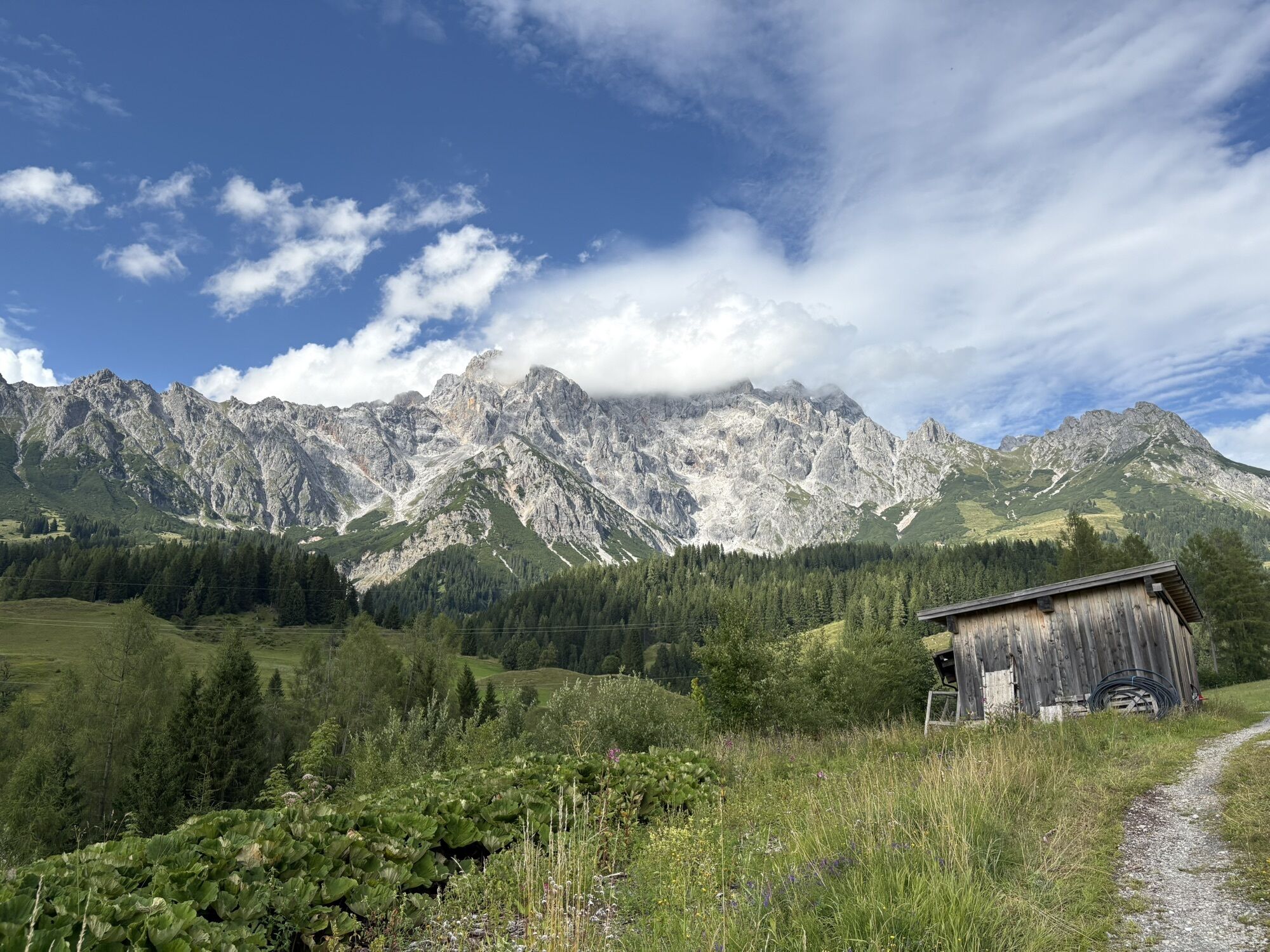
Hinterdientner Hiking Trail
We start at the Dienten Ski Centre - through the parking deck - and walk along the neighbouring road "Reizegg" until we reach the main road "B164 Hochkönig Bundesstraße". Here we follow the road uphill...
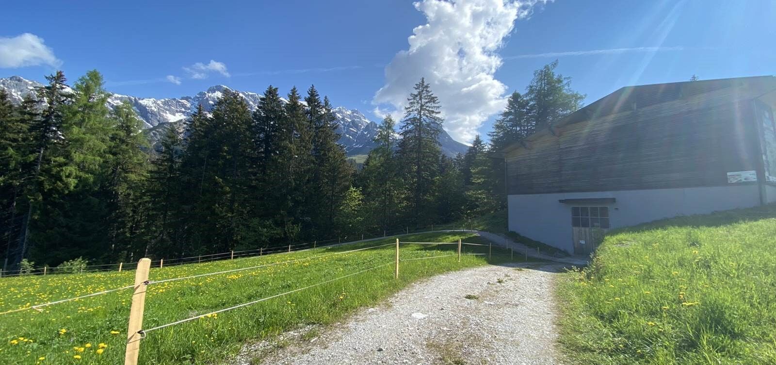
We start at the Dienten Ski Centre - through the parking deck - and walk along the neighbouring road "Reizegg" until we reach the main road "B164 Hochkönig Bundesstraße". Here we follow the road uphill to the junction on the left (trail no. 65) where we walk past the "Priesterhöfl & Innerhöfl" farms to the Hotel Übergossene Alm Resort. From here we walk along the"Klimaschutzweg"(climate protection trail) for a while. At the heating plant we come back to the main road. Walk along this road for a short distance until you reach the turn-off to the Dacheggbauer/Heimatküche.

We start at the Dienten Ski Centre - through the parking deck - and walk along the neighbouring road "Reizegg" until we reach the main road "B164 Hochkönig Bundesstraße". Here we follow the road uphill to the junction on the left (trail no. 65) where we walk past the "Priesterhöfl & Innerhöfl" farms to the Hotel Übergossene Alm Resort. From here we walk along the "Klimaschutzweg"(climate protection trail) for a while. At the heating plant we come back to the main road. Walk along this road for a short distance until you reach the turn-off to the Dacheggbauer/Heimatküche.
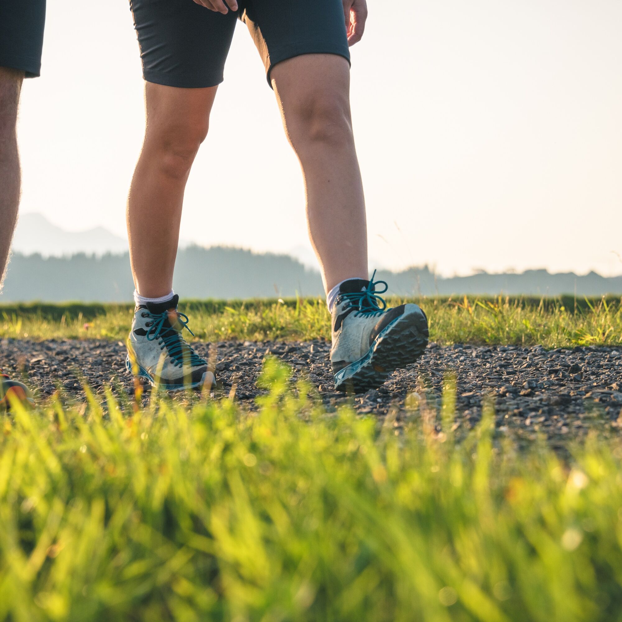
Sturdy, ankle-high footwear
Hiking clothing
Hiking poles
Headgear
Sun protection and sunglasses with UV protection
Rain protection
Drinks and a small snack
Necessary medication
First aid kit
Hiking map
self-assessment: Check your physical fitness before every mountain tour and correctly assess your strength and that of your companions - especially your children! Surefootedness and a head for heights are often very important!
planning and preparation: Plan every intended mountain tour in advance. Hiking maps and guides as well as information from alpine clubs and local experts such as mountain guides and hut keepers can be helpful.
equipment: On the mountain, you need appropriate equipment and clothing, especially sturdy, high footwear with a non-slip sole. Weather and cold protection are essential, as the weather can often change unexpectedly.
weather forecasts: Check the current weather conditions at: www.zamg.at or www.uwz.at.
togetherness: Observe the 10 rules for the correct handling of grazing animals and do not leave any waste in nature!
do not kick stones: Do not step on stones, as this can seriously endanger other hikers. Marked places where there is a risk of falling rocks should be crossed as quickly as possible and with attention and caution.
turn back in good time: This is not a disgrace, but a sign of common sense. It becomes necessary when the weather changes, fog sets in, and also when the path is too difficult or not in good condition.
emergency numbers: Alpine emergency number: 140, International emergency number: 112, Rescue: 144
Further information on hikes and activities in the Hochkönig region:
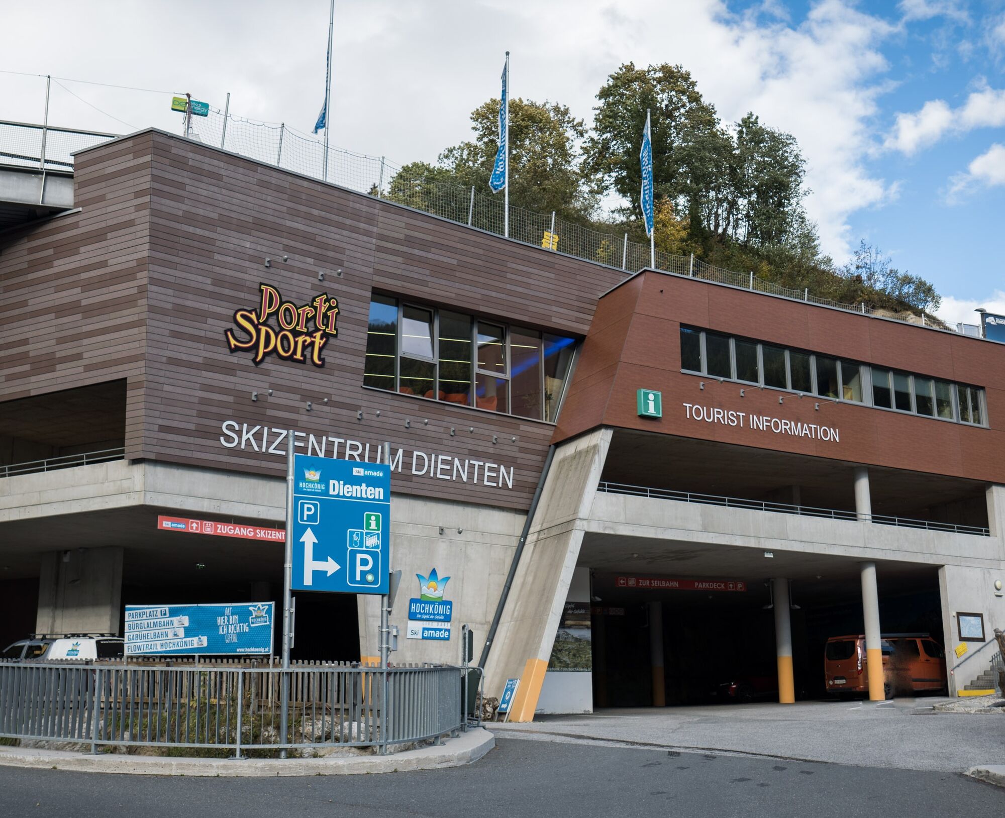
For detailed information about hiking maps, the opening hours of the cable cars and the huts and mountain pastures in summer, we recommend you visit the local service centre. There you will not only receive the hiking map, but also valuable tips on the best hiking routes and current conditions.
Opening hours of the mountain lifts in summer:The mountain lifts offer different opening hours during the summer months, which can vary depending on the weather and season. Please check the current operating times in advance.
Opening hours of huts & mountain huts in summer:The huts and mountain huts in the region are ideal rest stops for hikers. Here, too, opening hours may vary depending on the season and day of the week. Ask the friendly hosts for advice about the offers and specialities on site.
For more information, please visit our website: www.hochkoenig.at.
If you have any questions or require specific information, please do not hesitate to contact us:
- E-mail: region@hochkoenig.at
- Telephone: +43 (0)6584 20388
We look forward to helping you and hope you enjoy exploring the beautiful Hochkönig hiking region!
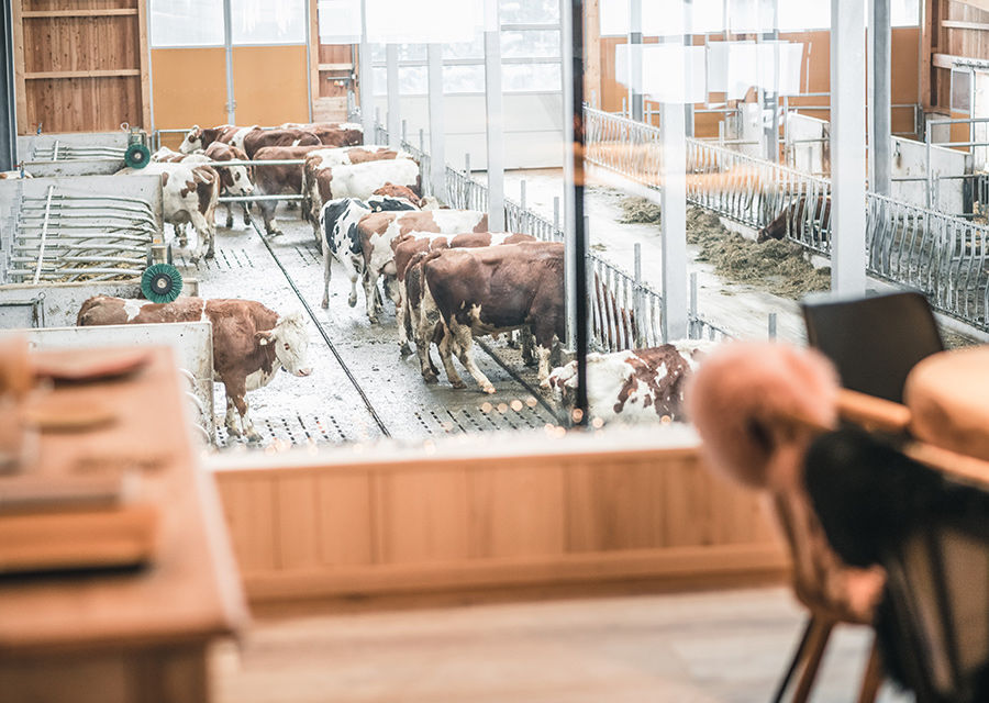
A cooool stop in the home kitchen Heimatküche!!
Kamery internetowe z trasy
Mühlbach am Hochkönig
Maria Alm - Hochmaisbahn
Bürglalmlift - Dienten
Bergstation Kings Cab
Matrashaus am Hochkönig
Grünegg Alm & Edelbrennerei
Dienten - Übergossene Alm Resort
Dienten - Almsee
Dienten - Übergossene Alm Resort
Dienten, Bürglalmabfahrt
Bürglalmbahn Abfahrt
Hochkönigblick
Hinterthal - Urslauerhof
Hinterthal - Urslauerhof
Popularne wycieczki w okolicy
- 4,2
Maria Alm - Riemannhaus
Wędrówka 3,99 km - 4,8
Summit stormer route Lauskopf
ciężkiWędrówka 8,16 km - 4,8
Summit storming route Taghaube
ciężkiWędrówka 6,25 km - 4,7
Panorama hike to the Hochkeil
średniWędrówka 6,07 km - 4,7
About the "Four Huts circular route" to Windraucheggalm
średniWędrówka 10,1 km - 3,6
Wanderung zur Ostpreußenhütte in Werfen (1.630 m)
średniWędrówka 11,2 km - 4,6
Steinalm
światłoWędrówka 2,71 km - 4,3
Schwalbenwand Nr. 80, 81, 82
średniWędrówka 13,0 km - 4,4
Peter-Wiechenthaler Hut
średniWędrówka 4,32 km - 4,8
Hochkönig - Gipfel der Gefühle - Matrashaus
ciężkiWędrówka 20,9 km
Wędrówki i tropienie


Nie przegap ofert i inspiracji na następne wakacje
Twój adres e-mail została dodana do listy mailingowej.