







Haidensperre
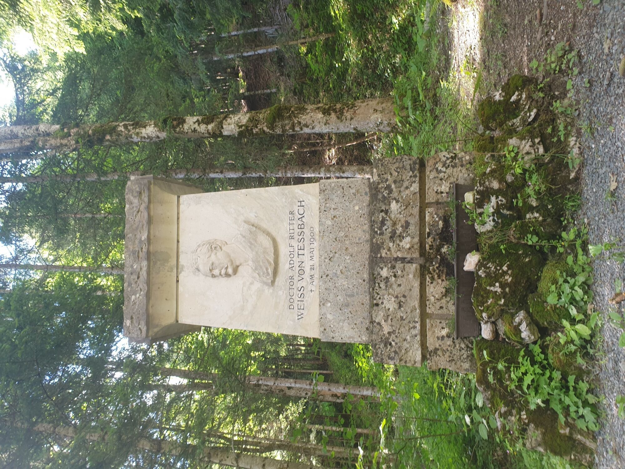
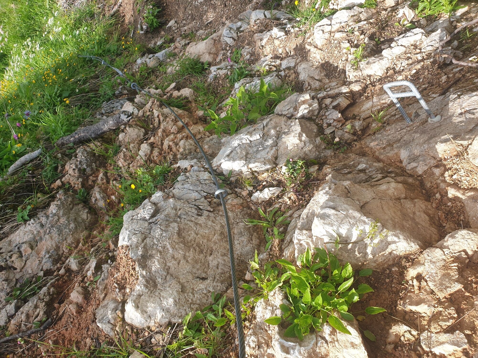
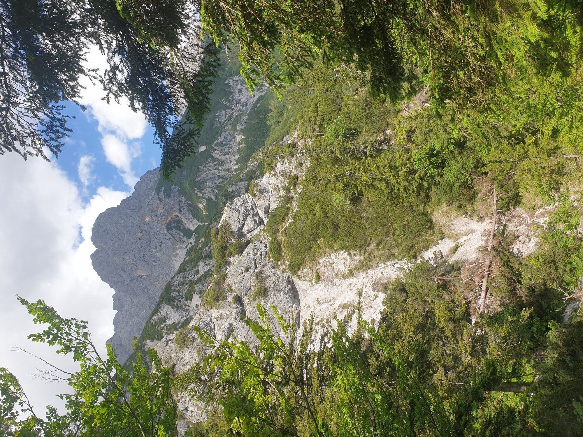
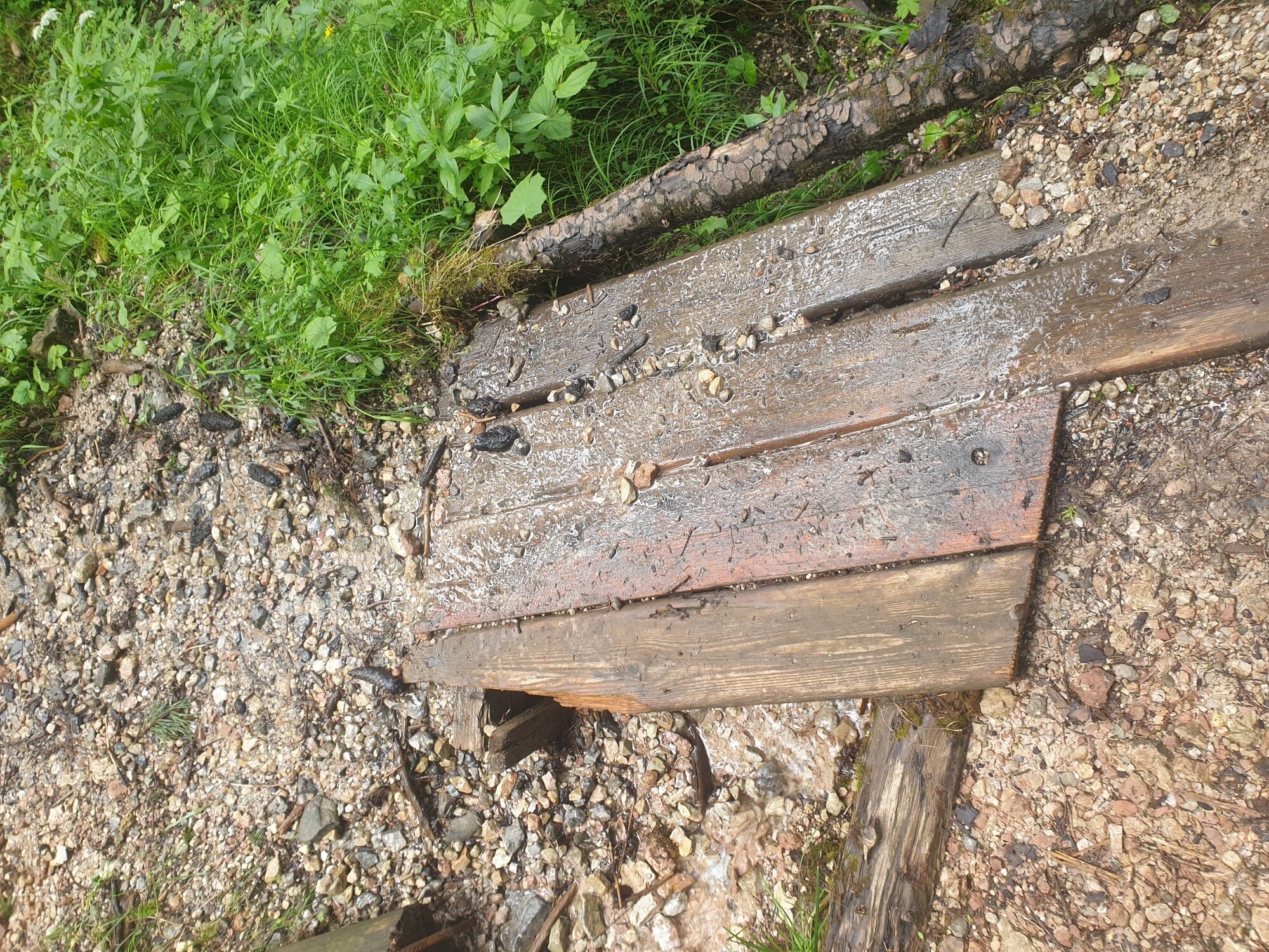
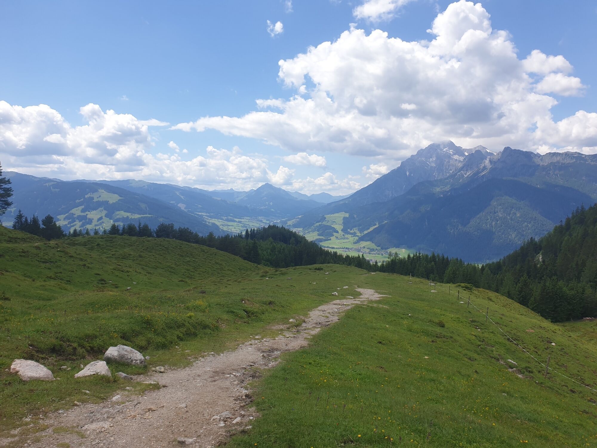
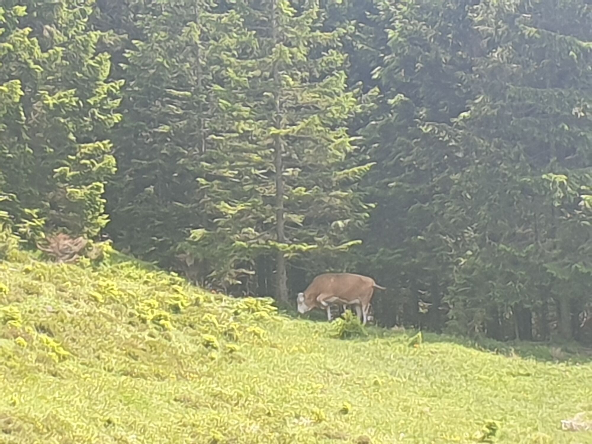
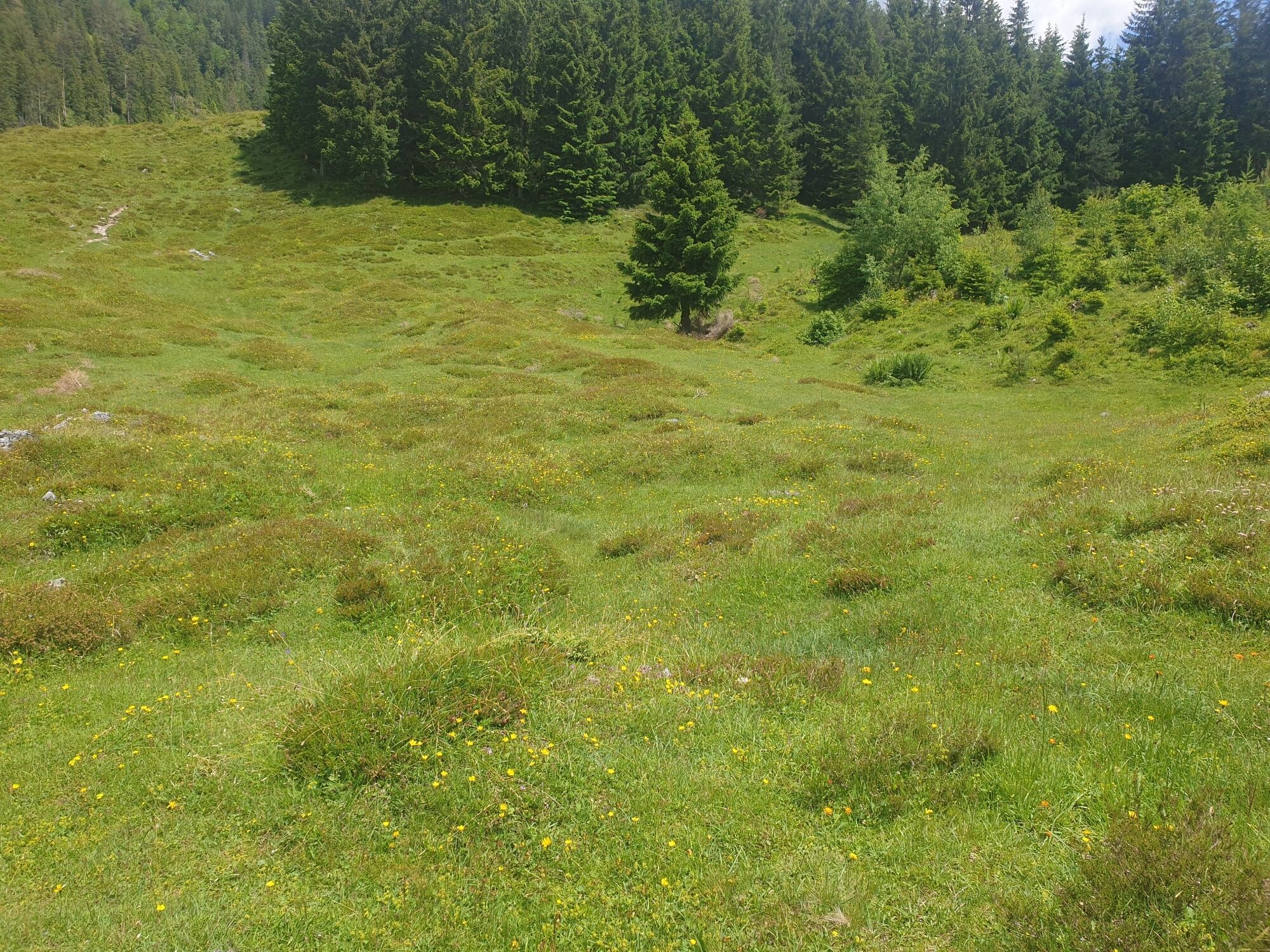
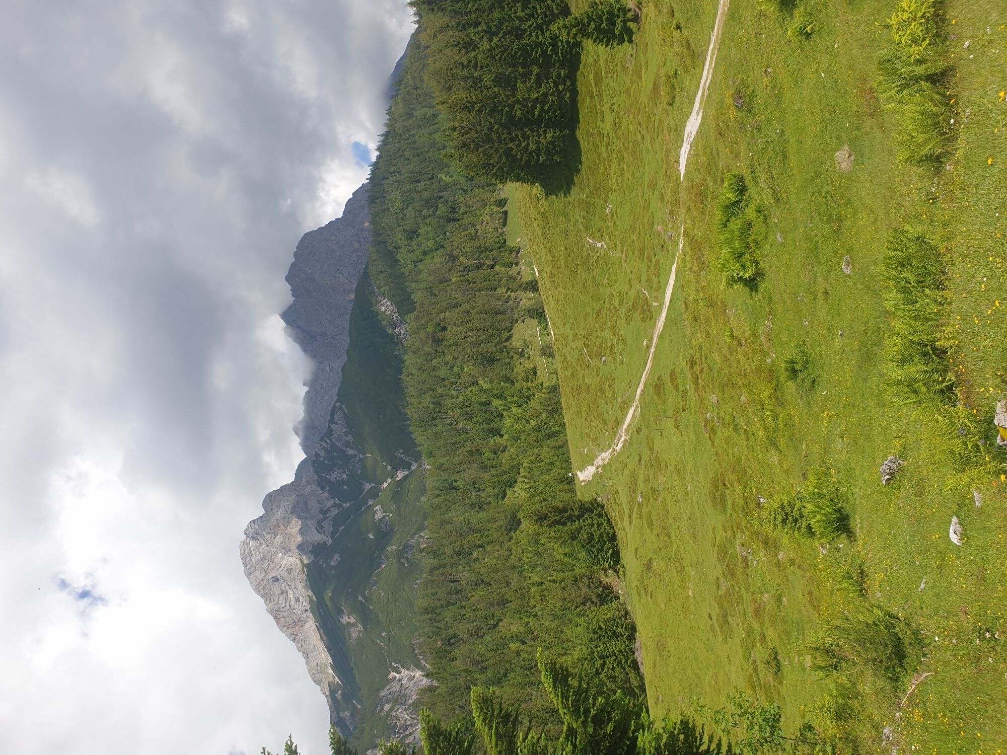
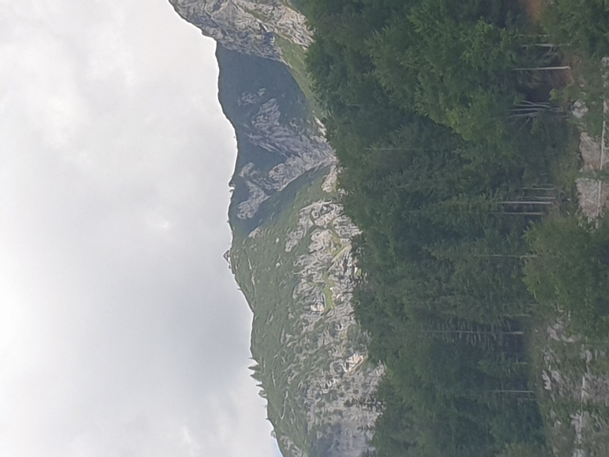
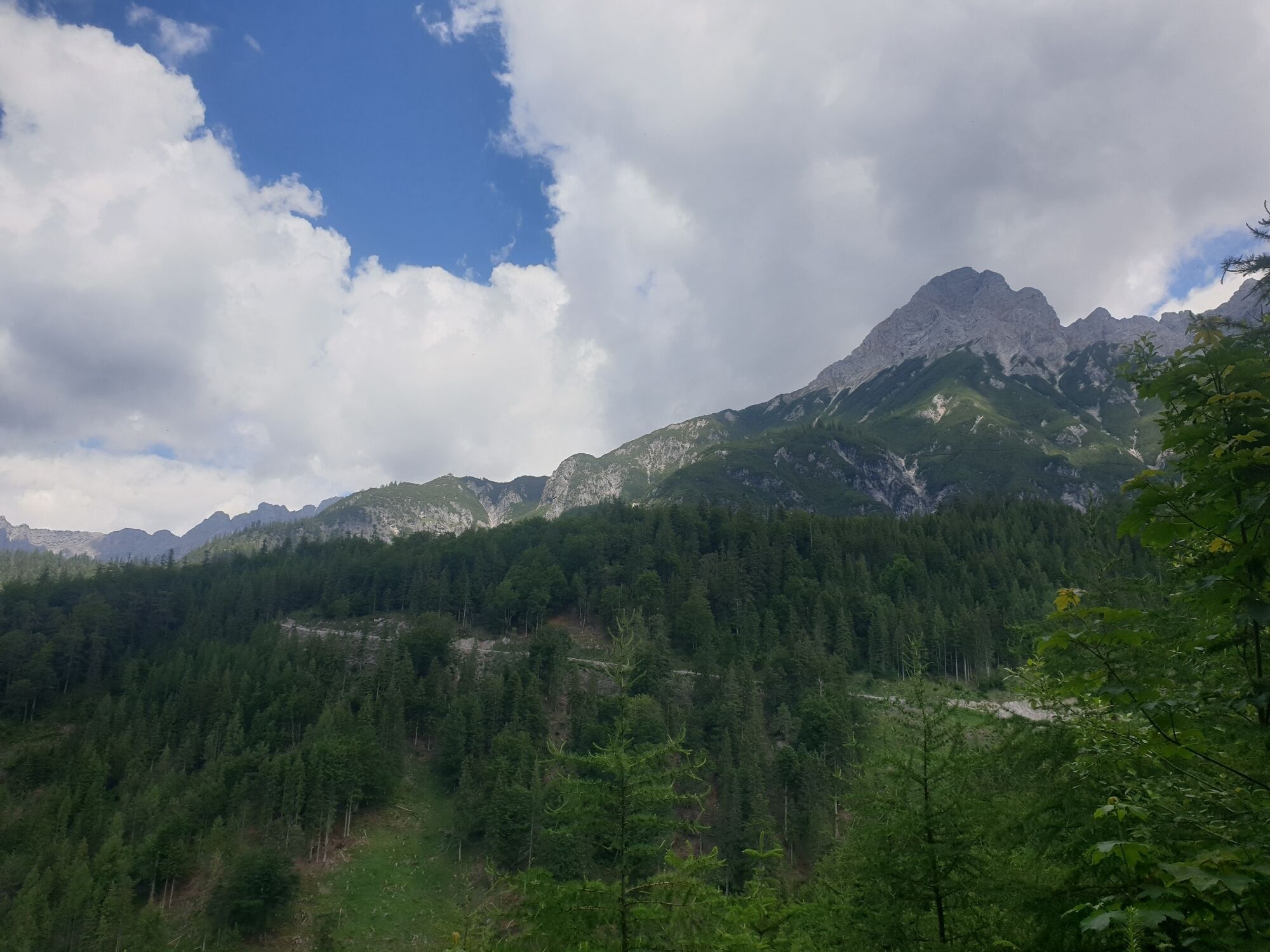
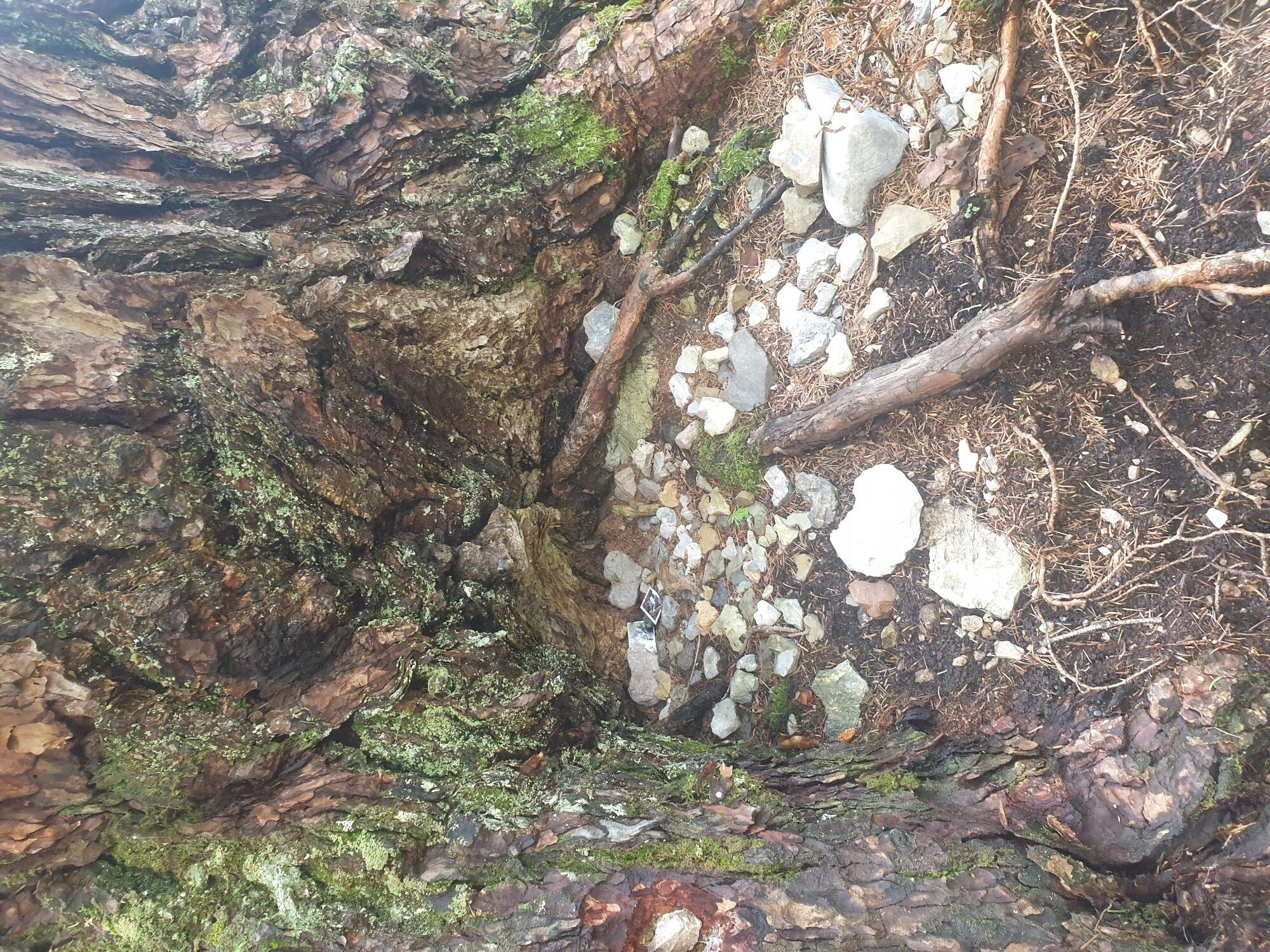
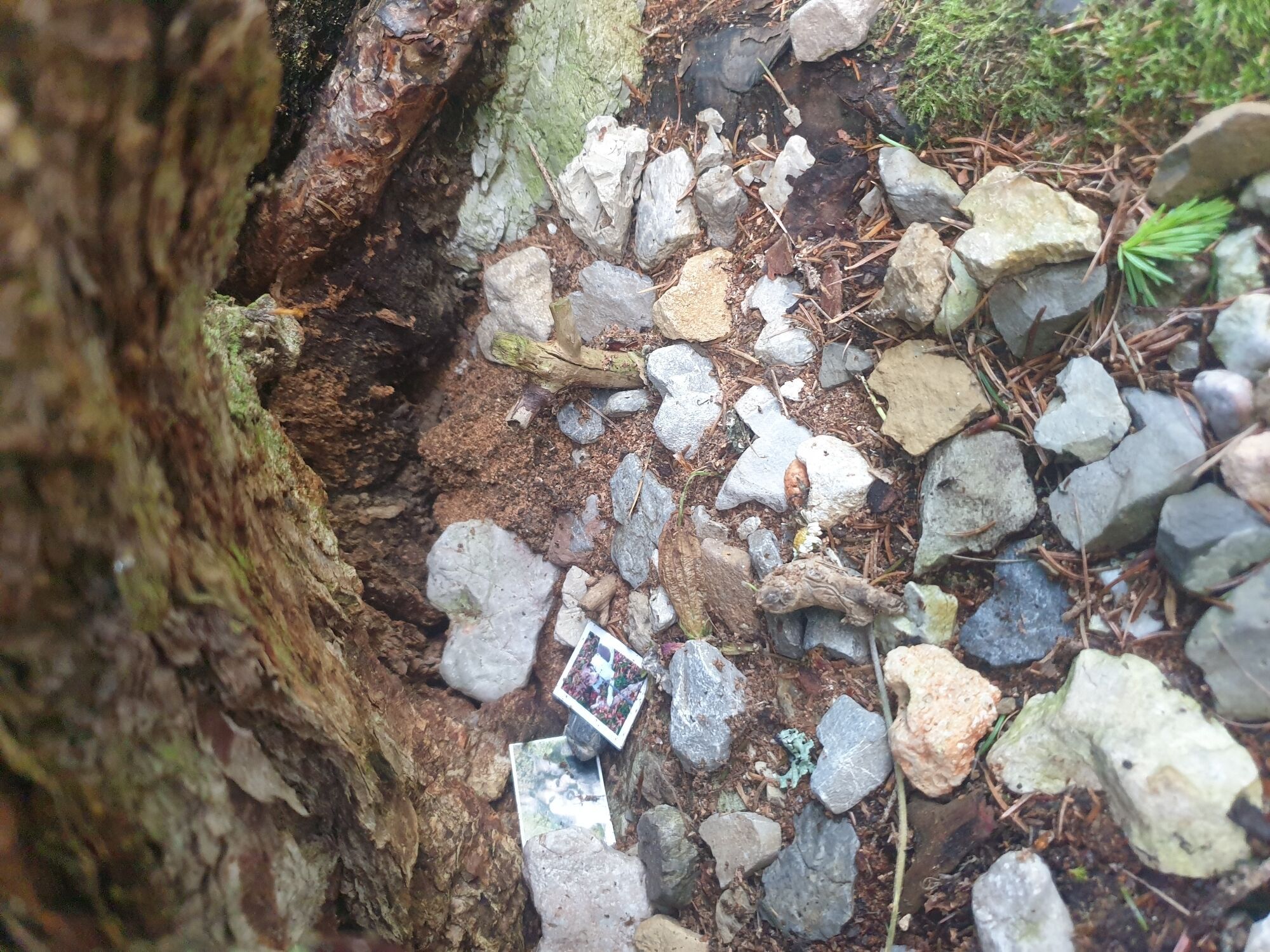
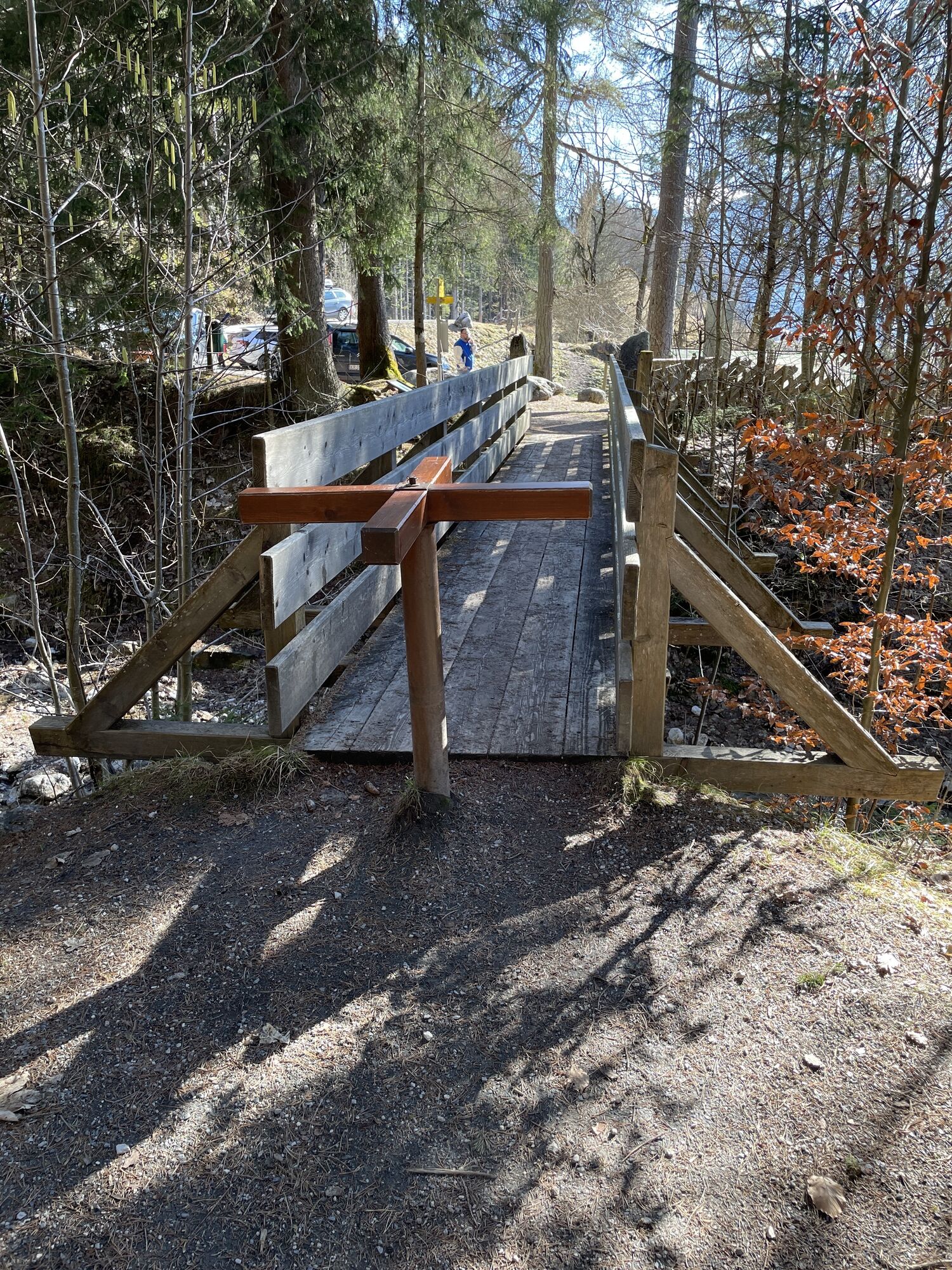
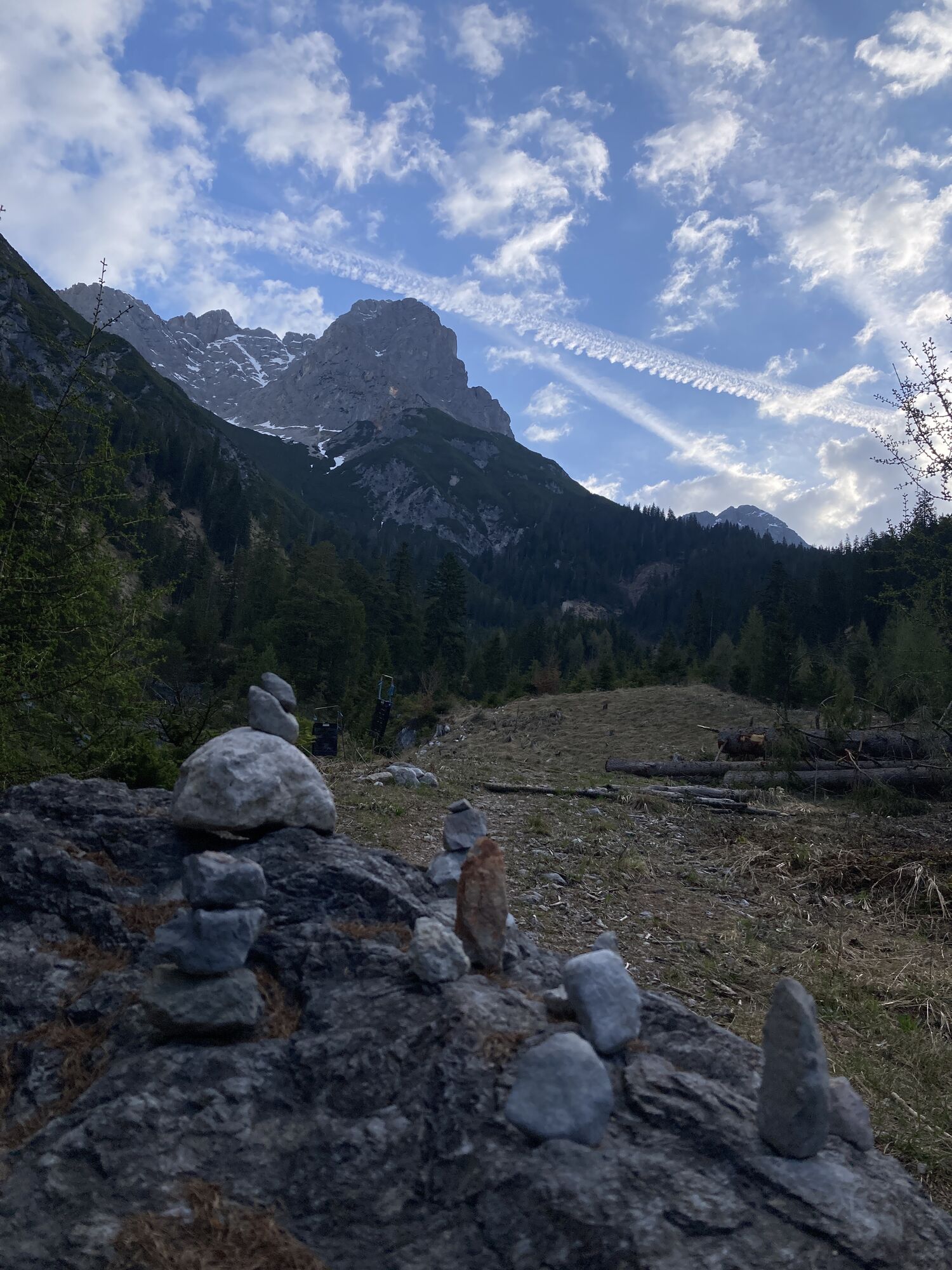
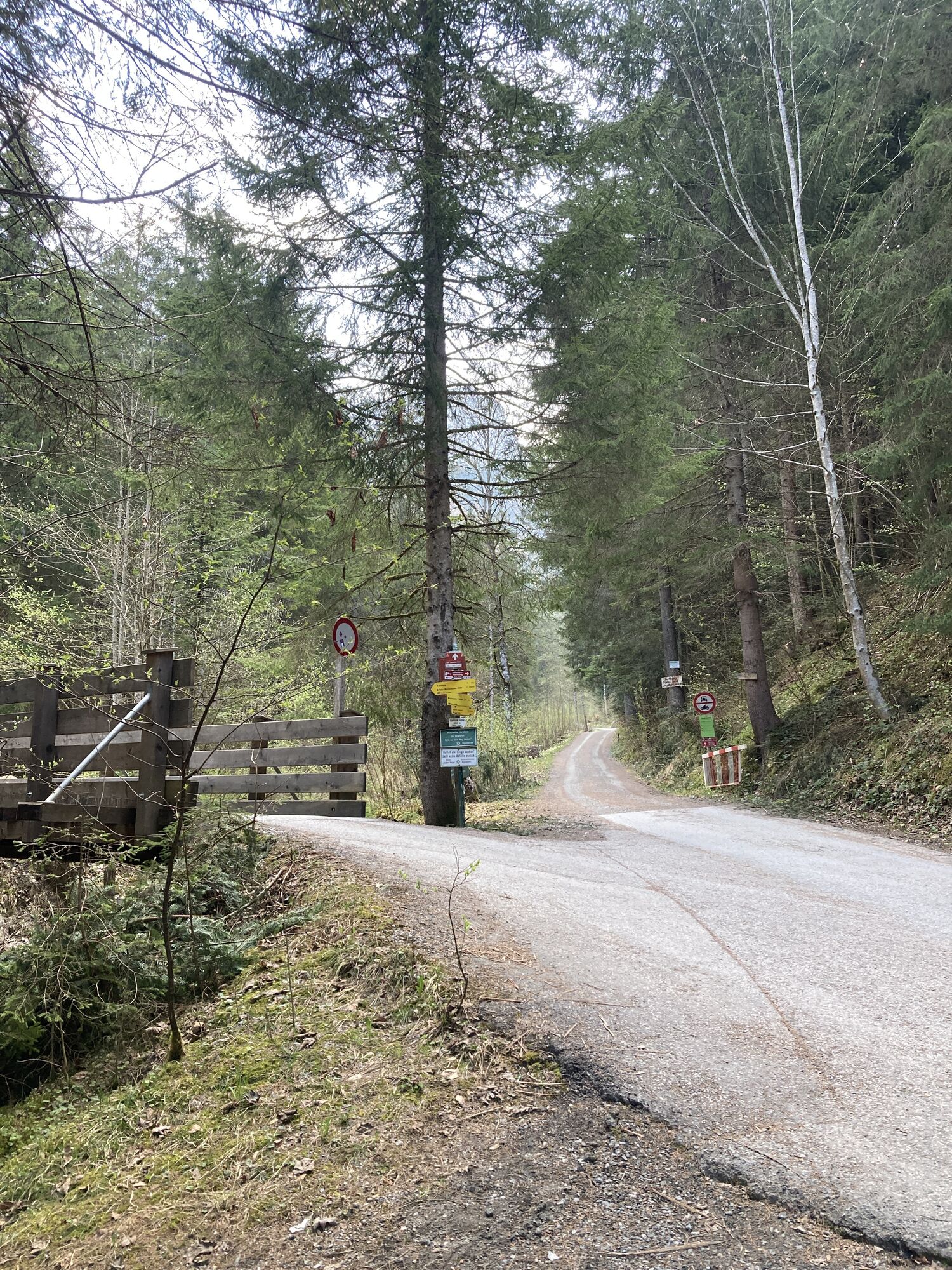
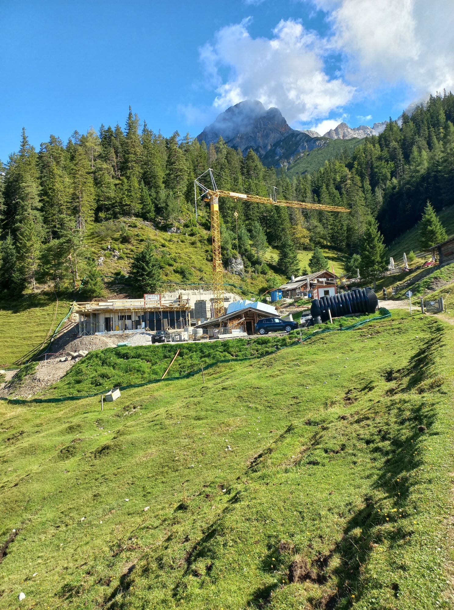
From the starting point at the Bürgerau car park, you reach the Steinalm via the Haidensperre, then return to the starting point at Bürgerau.

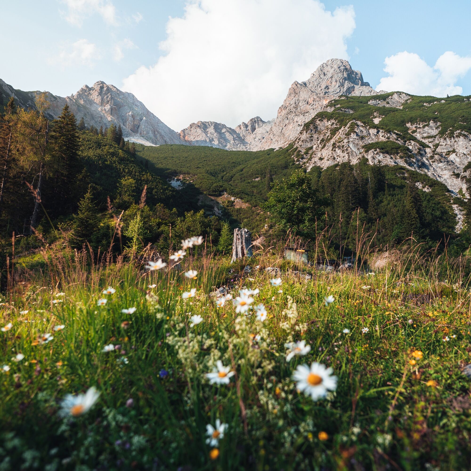
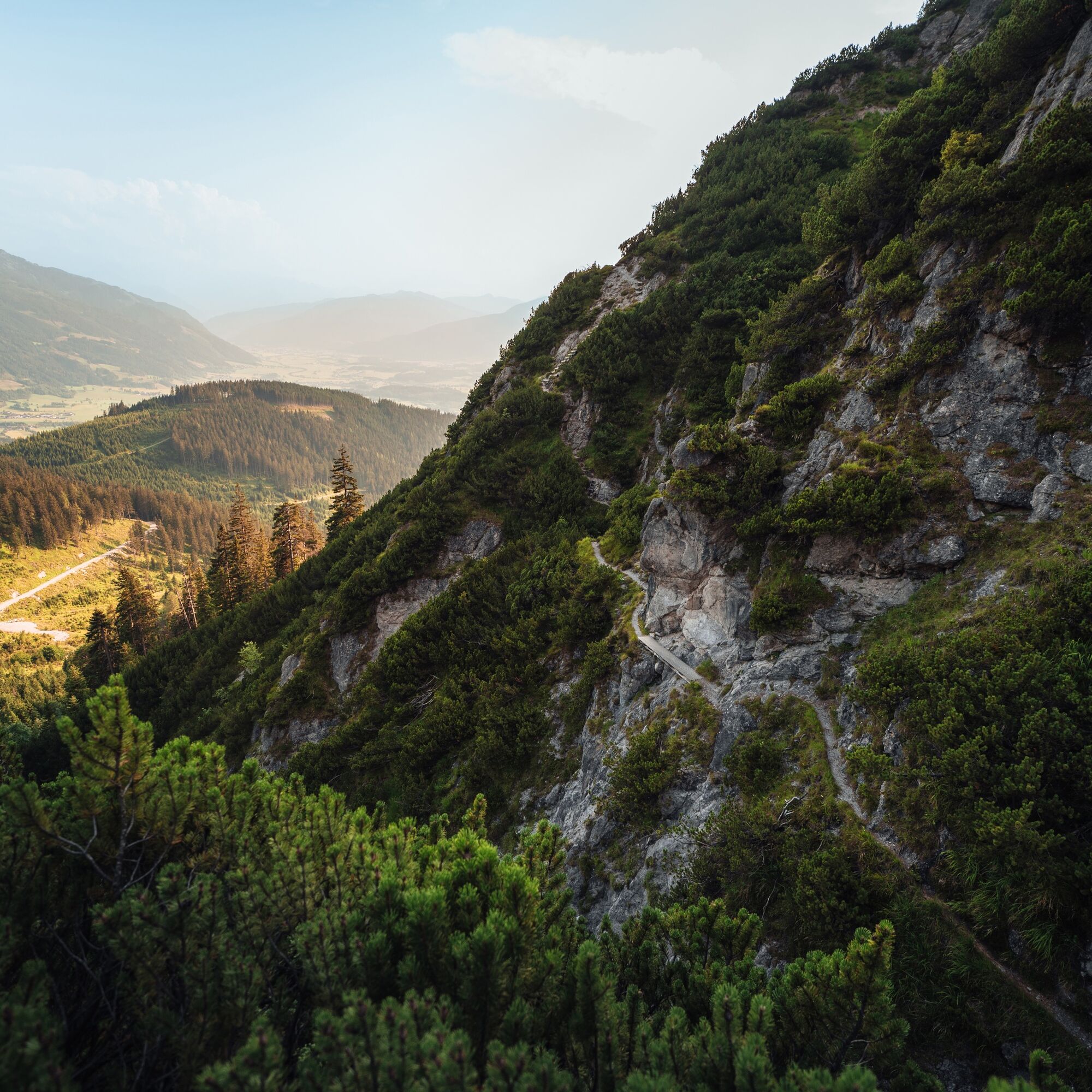
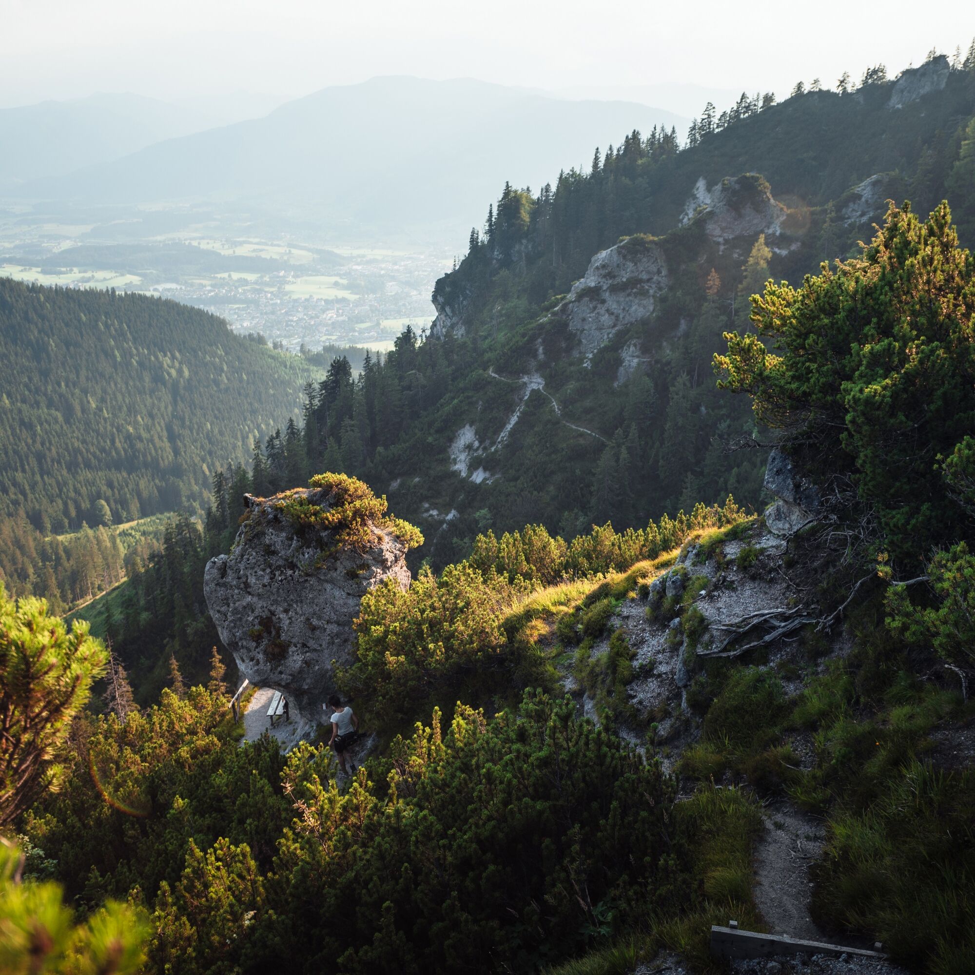

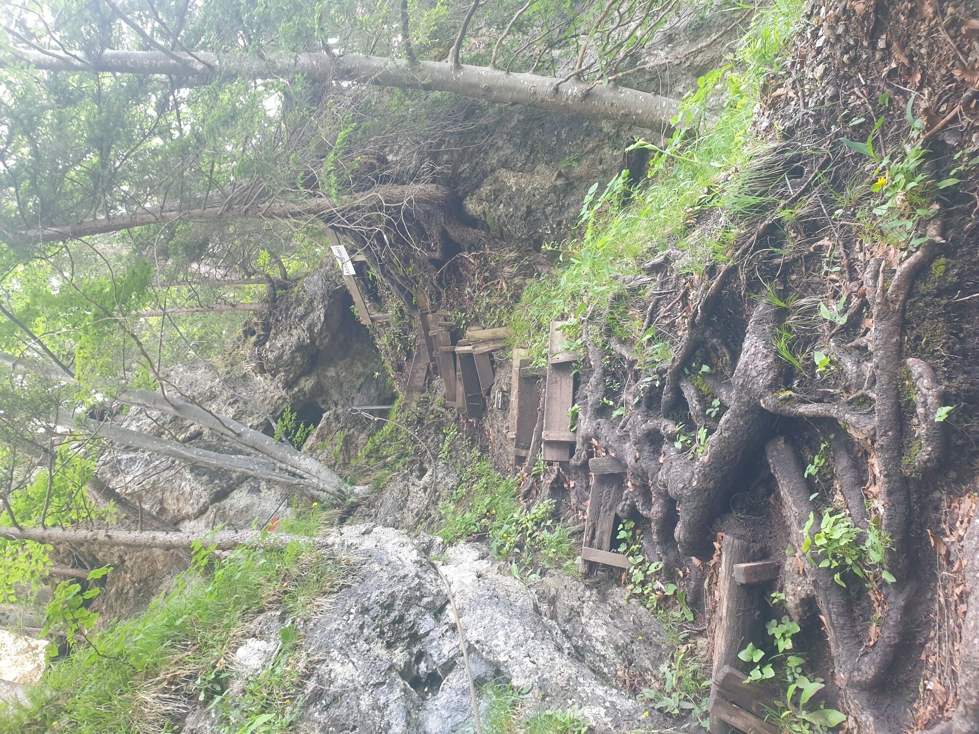
From the starting point at the Bürgerau car park, first follow the forest path, then steeply climb up to the Haidensperre and continue toward the Steinalm. The route leads over partly very steep, exposed sections. At some places, ladders must be overcome. From the Steinalm, you can return to the starting point at Bürgerau via an easy hiking trail.
Hiking boots, sun protection, sufficient fluids
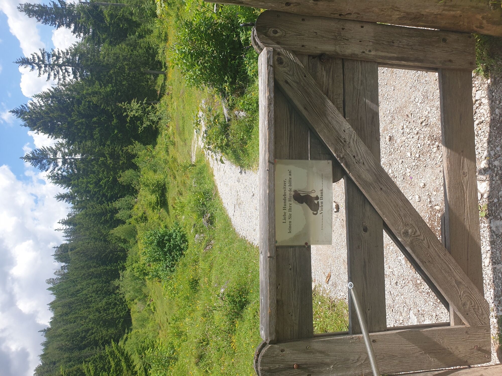
Due to exposed and steep sections, recommended ONLY for experienced, sure-footed, and fearless hikers! There is no possibility to switch to an easier path. Not recommended for children, inexperienced hikers, or dogs.
BY CAR
Drive on the Pinzgauer federal road B311 from Saalfelden towards Lofer. About 500 m after the roundabout at Interspar, turn right into Anton-Wallner-Straße. Follow the street for about 350 m, then keep left onto Lichtenbergstraße. Follow the street for about 1.5 km past the school (HIB) until the car park appears on the left side.
BY TRAIN
You can enjoy your holiday right from the start by train. No traffic jam will stop you from reaching Saalfelden Leogang! Furthermore, the ÖBB timetable helps you quickly and easily find the ideal train connection to Saalfelden station: www.oebb.at
BY BUS
The starting point at the Bürgerau car park in Saalfelden can be reached by the Postbus from Saalfelden town center. From the bus stop "Saalfelden Fohrenweg," the starting point is reachable on foot in about 20 minutes. More information can be found at https://fahrplan.salzburg-verkehr.at/
Free parking is available at the starting point, the Bürgerau car park.
A stop at the Steinalm is a must!

 Uzyskaj wgląd Zawsze na żywo z ponad 9 500 kamer internetowych. bergfex Jako użytkownik Pro, możesz teraz zobaczyć odpowiednie kamery internetowe dla wielu wycieczek w aplikacji wycieczki od. Pozwala to na bezpośredni podgląd aktualnych warunków.
 Popularne wycieczki w okolicy
- 4,4
Maria Alm - Riemannhaus
Wędrówka 3,99 km - 4,8
Königssee - Kärlinger-Haus
Wędrówka 10,1 km - 4,5
Wimbachgrieshütte
Wędrówka 8,30 km - 4,8
Summit stormer route Lauskopf
ciężkiWędrówka 8,16 km - 4,8
Summit storming route Taghaube
ciężkiWędrówka 6,25 km - 4,6
Steinalm
światłoWędrówka 2,71 km - 4,3
Schwalbenwand Nr. 80, 81, 82
średniWędrówka 13,0 km - 5,0
Watzmann Überschreitung an einem Tag
ciężkiWędrówka 23,9 km - 4,5
Peter-Wiechenthaler Hut
średniWędrówka 4,32 km - 4,6
Seisenberg Gorge
światłoWędrówka 2,41 km
Wędrówki i tropienie


Nie przegap ofert i inspiracji na następne wakacje
Twój adres e-mail została dodana do listy mailingowej.





