


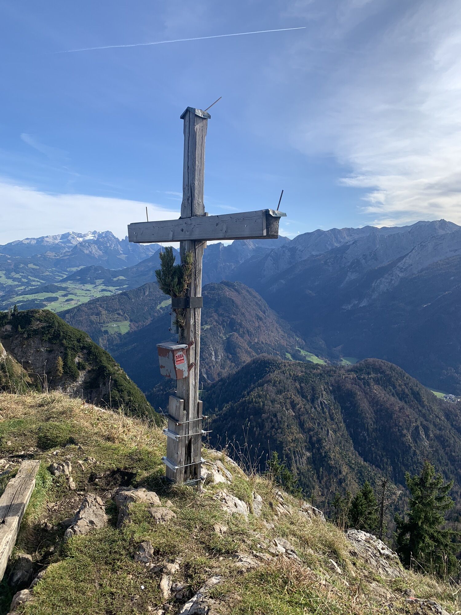
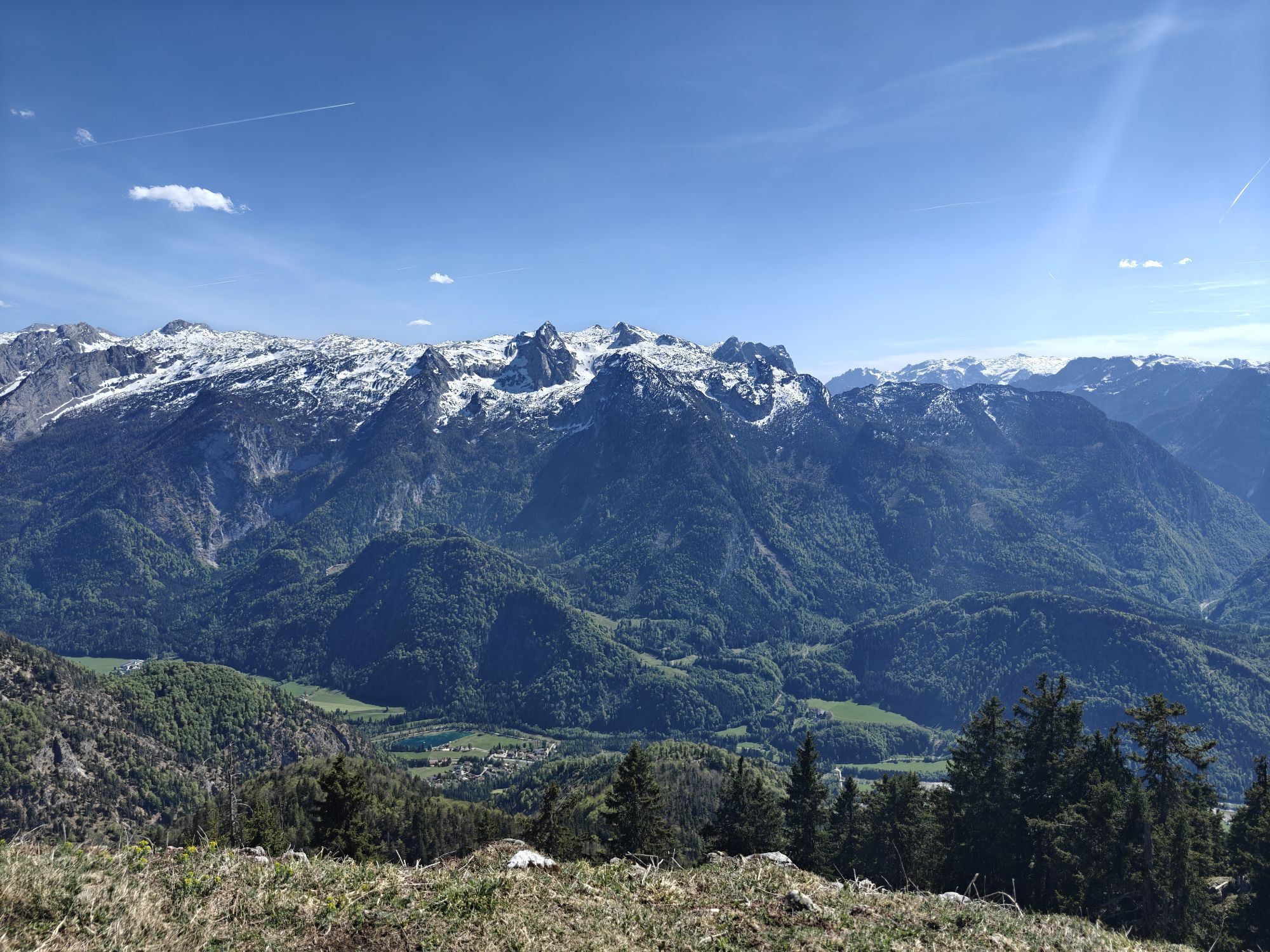
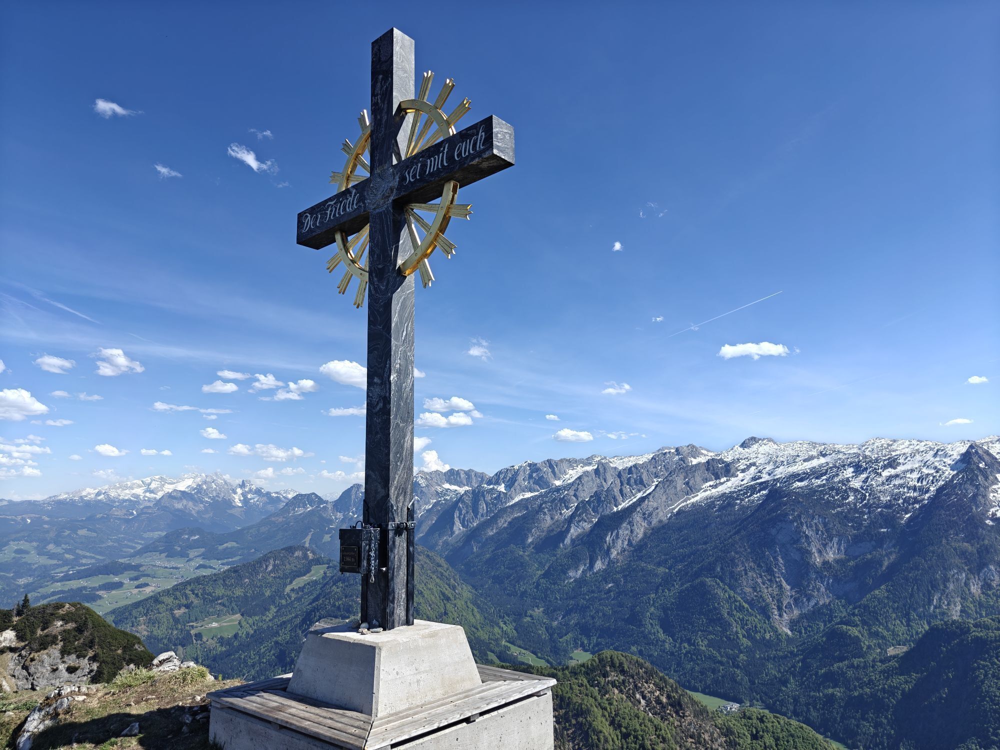
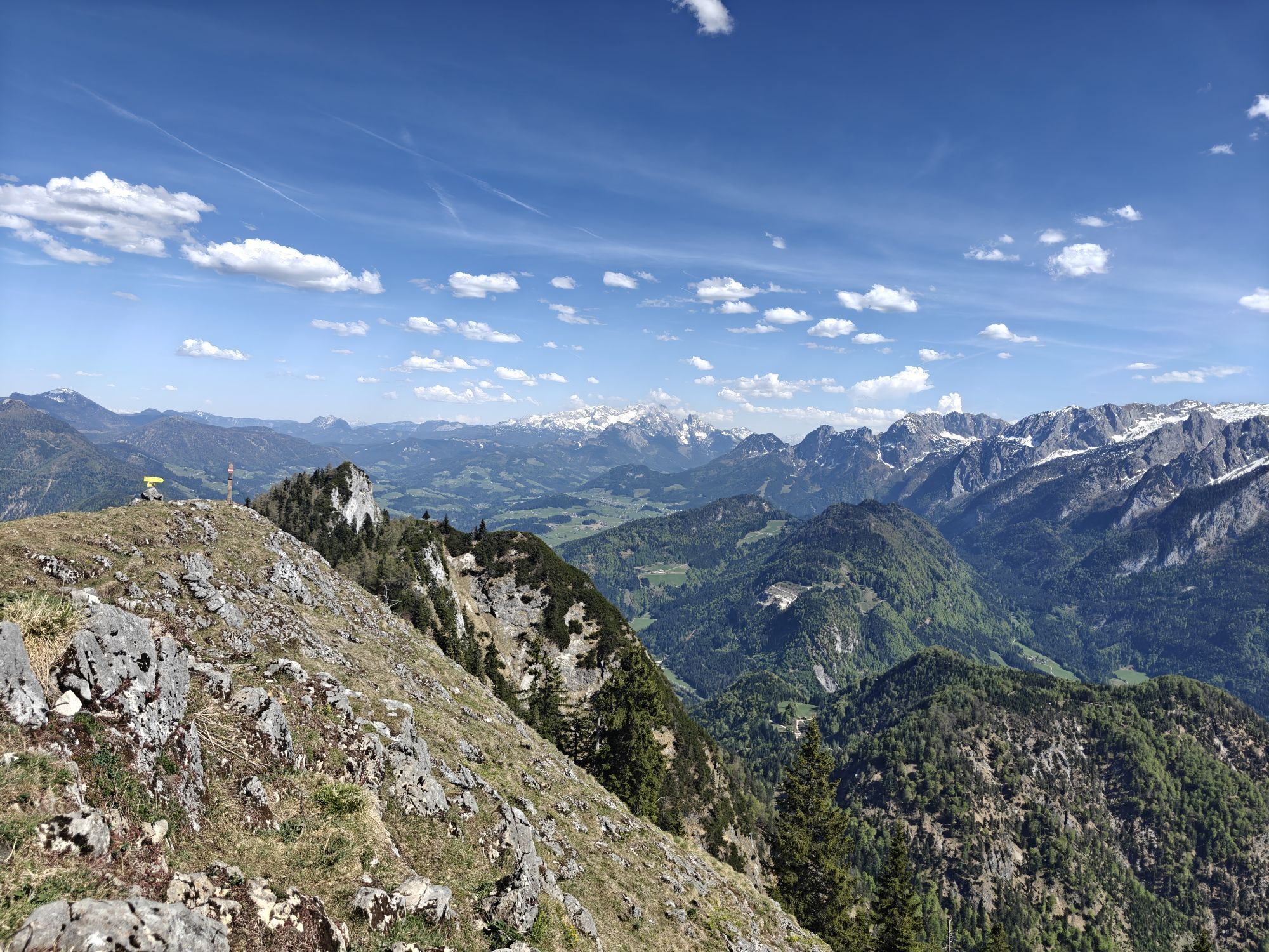
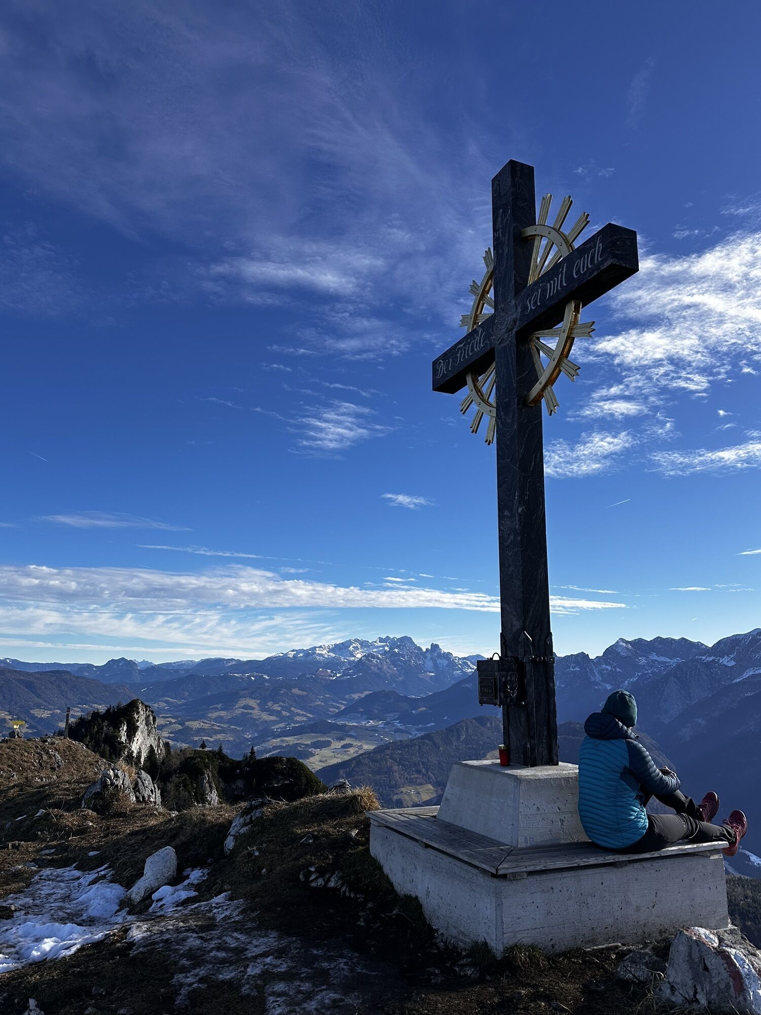
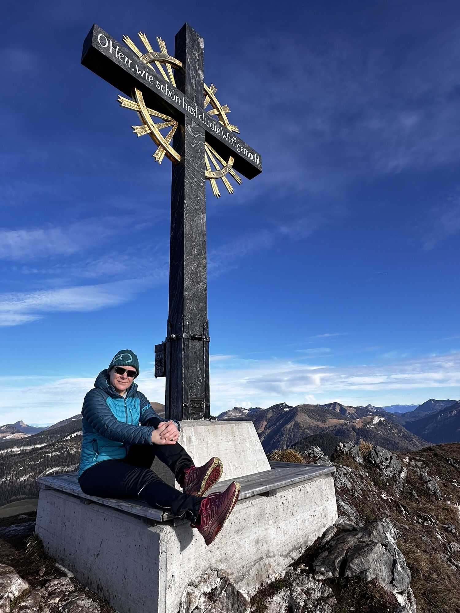
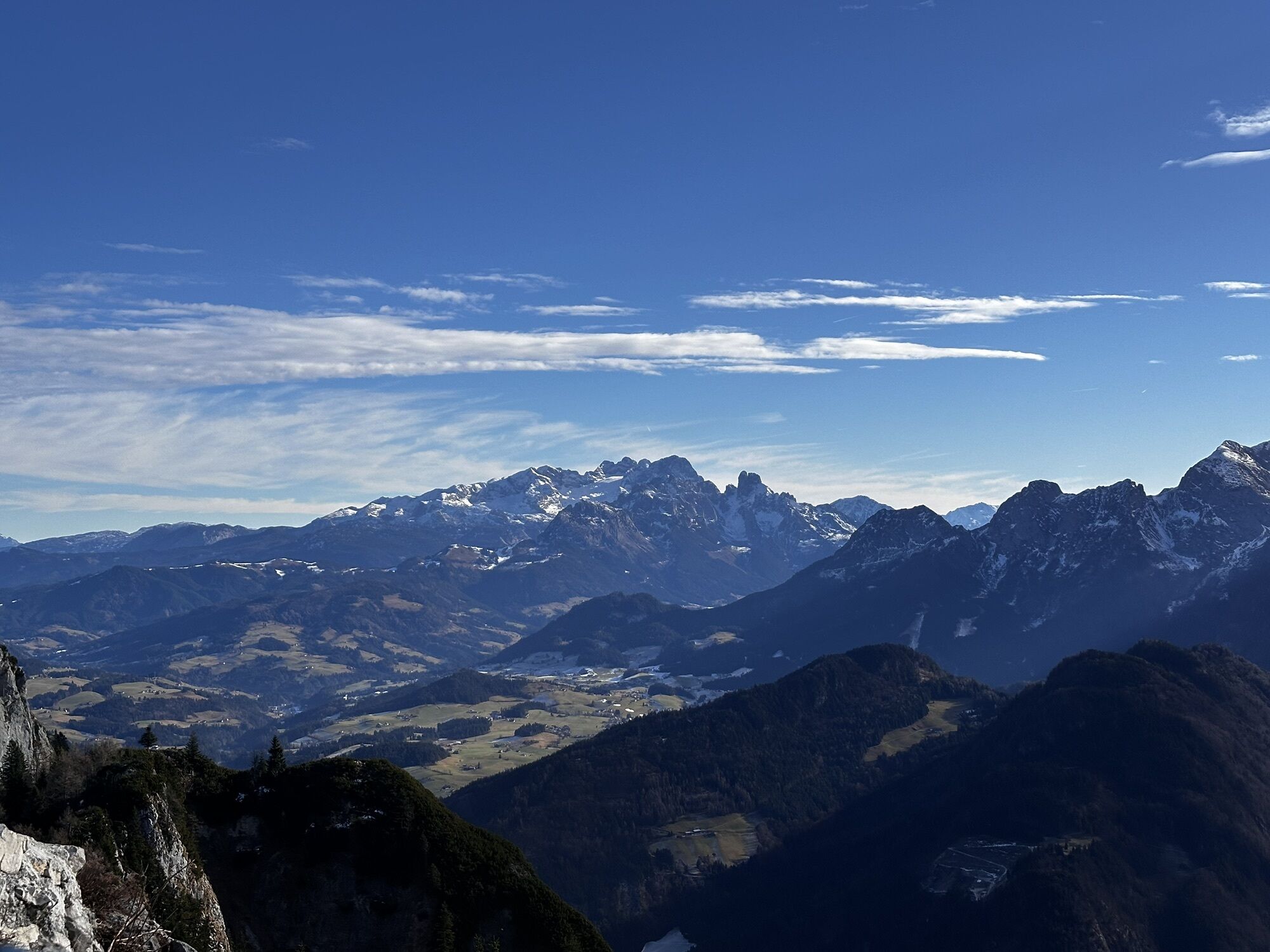
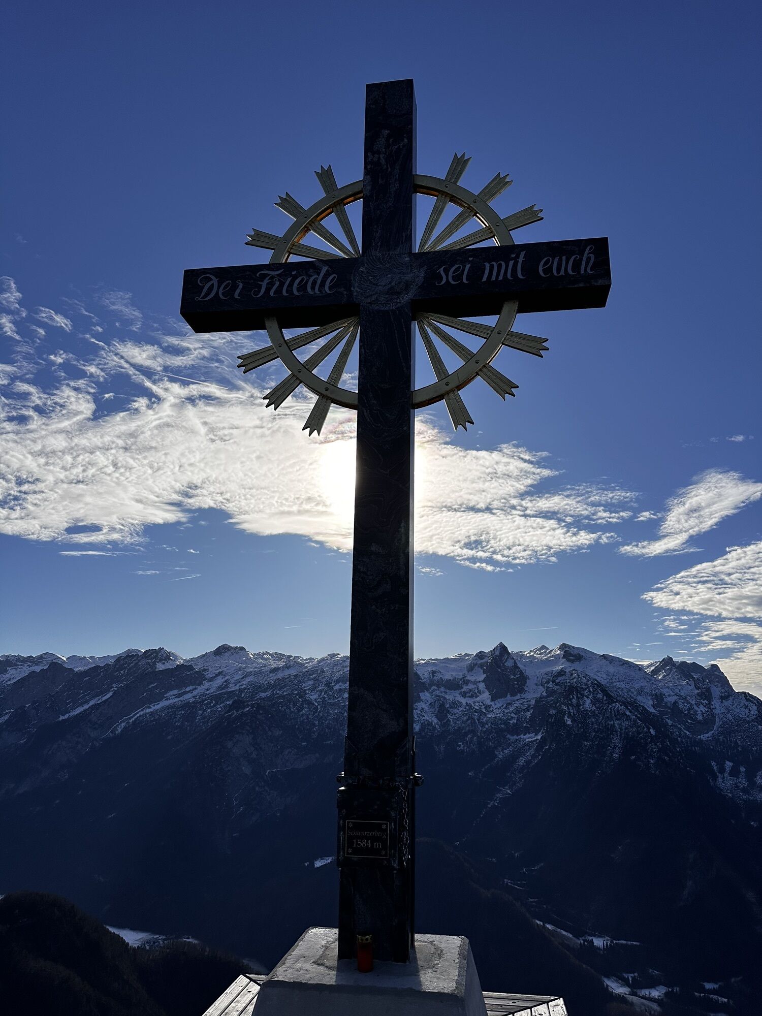
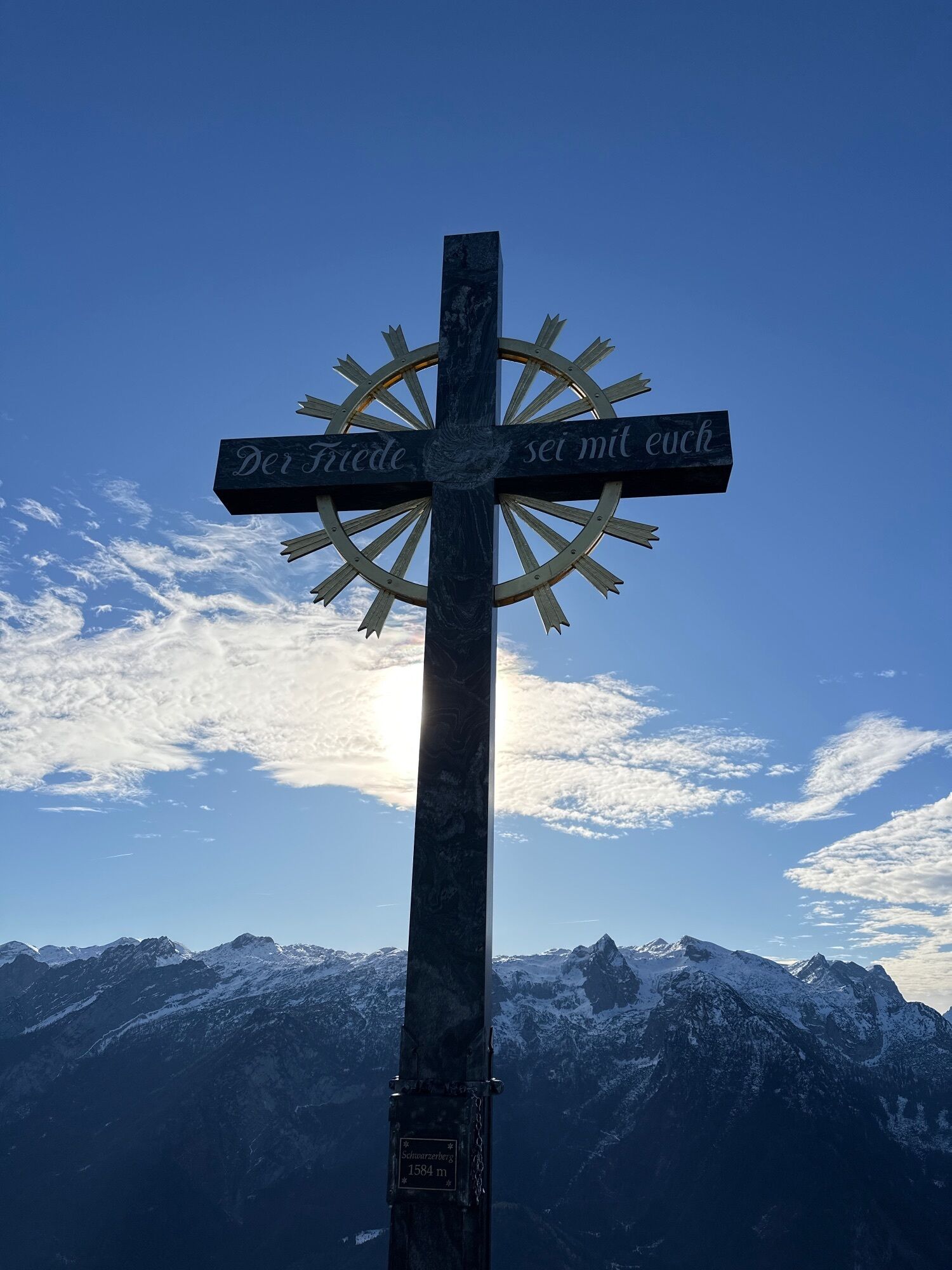
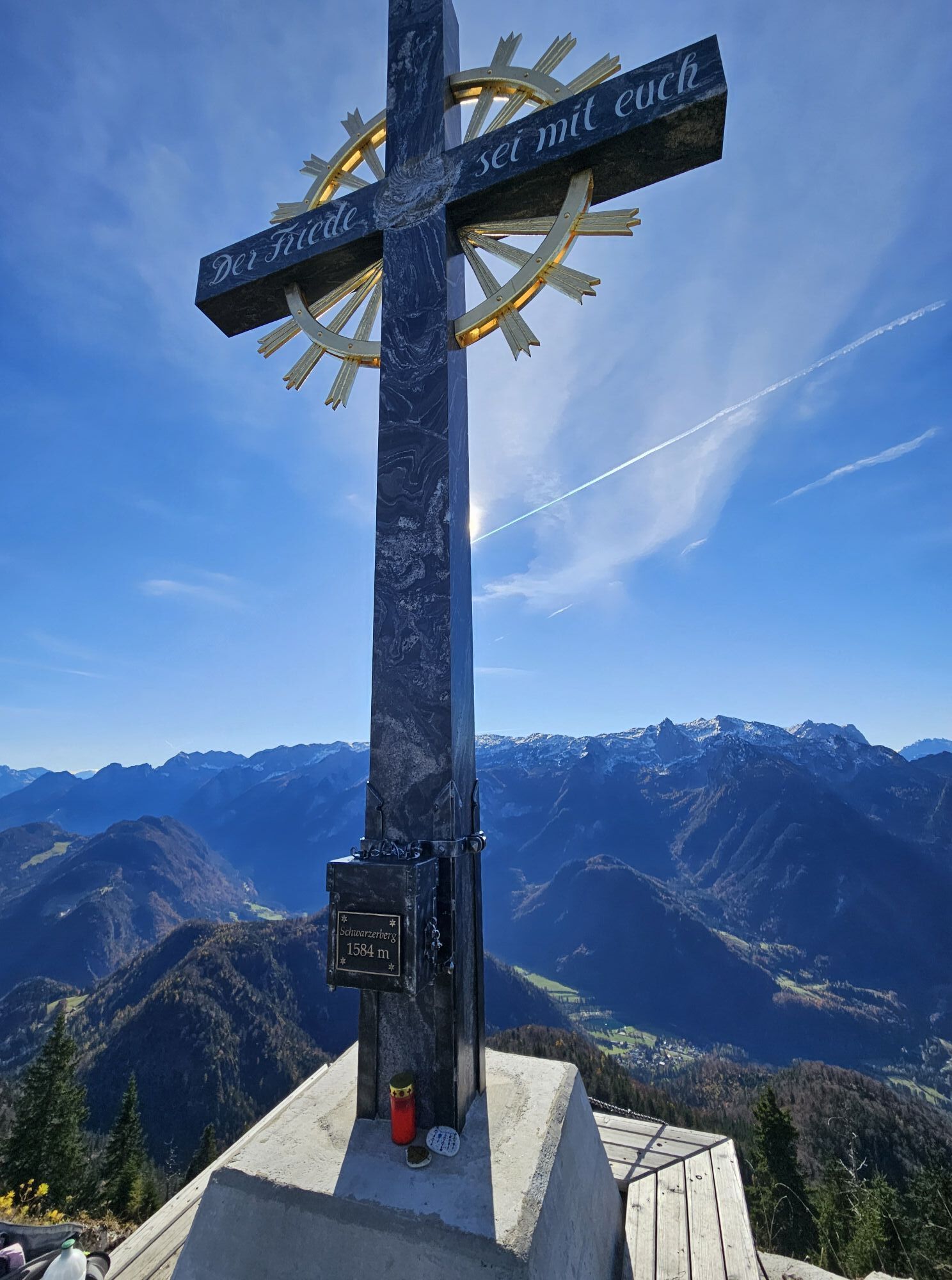
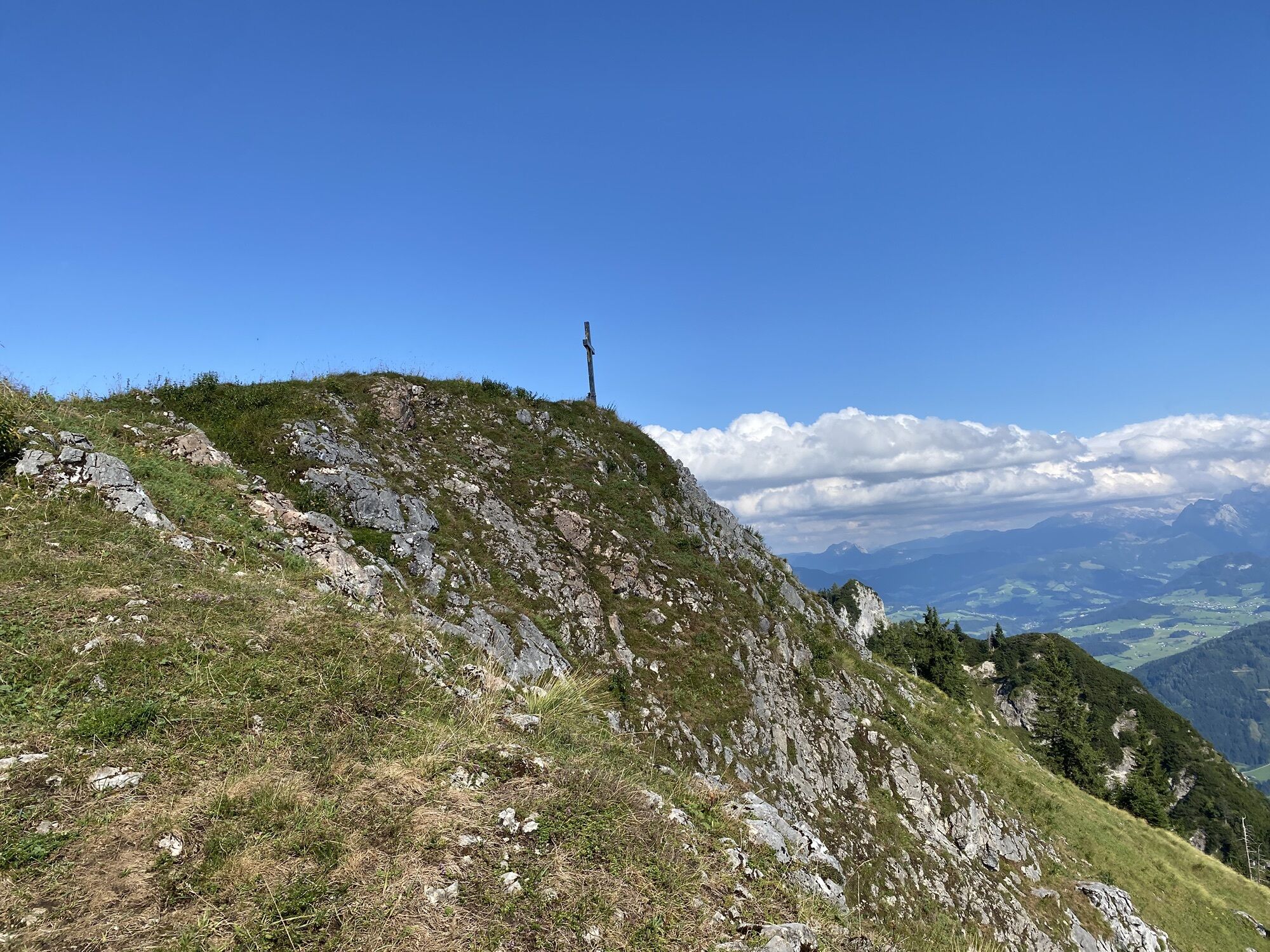
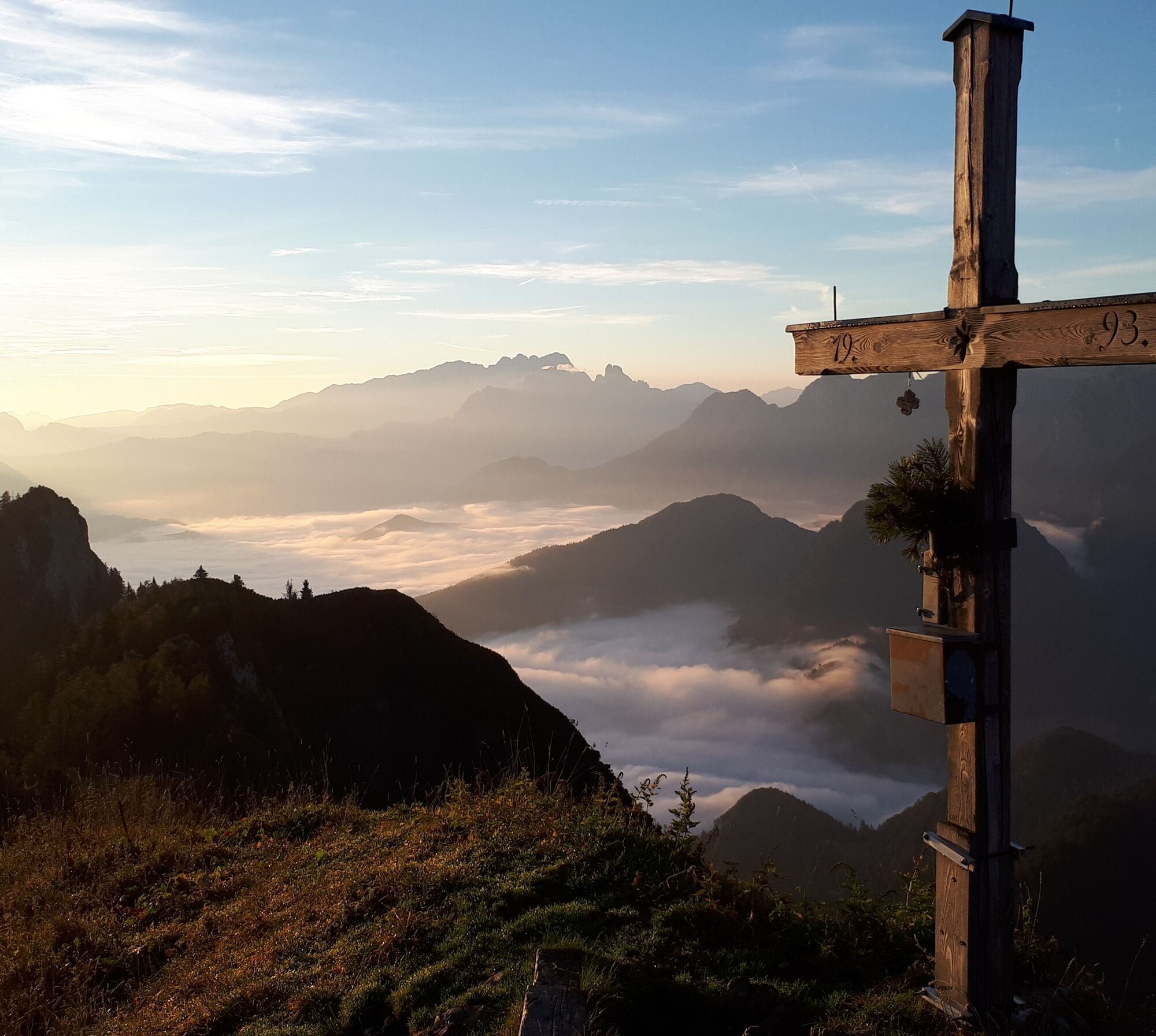
Black Mountain
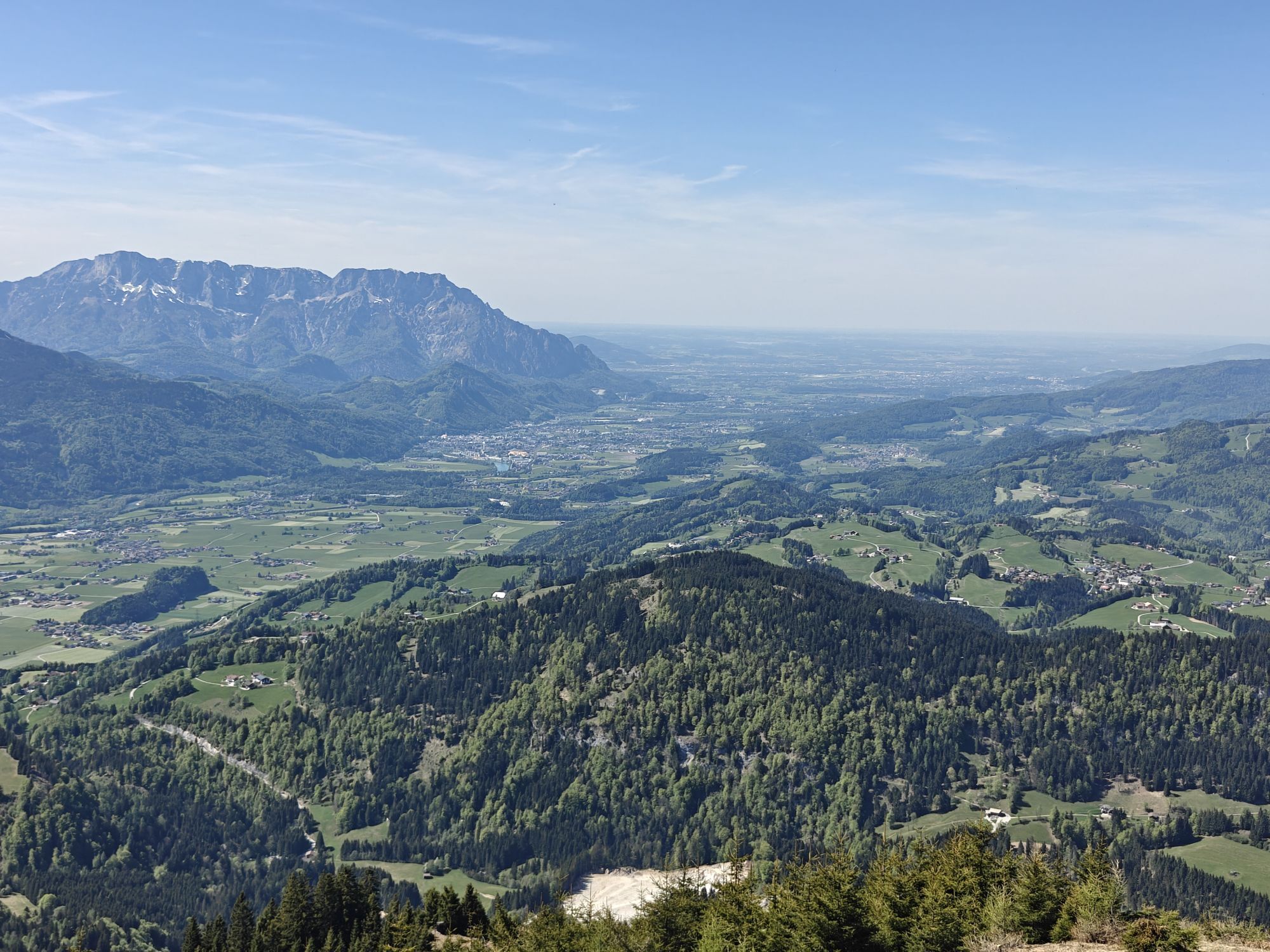


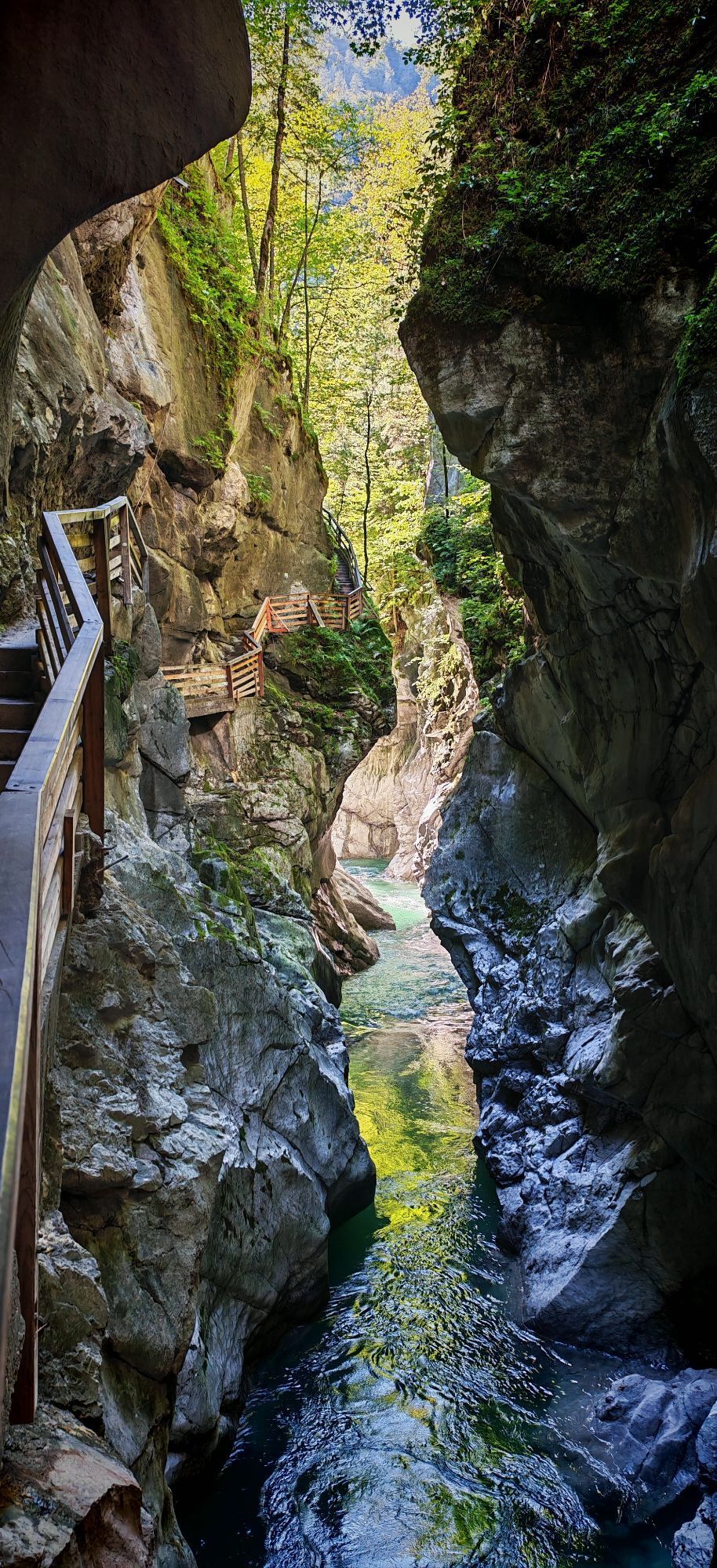
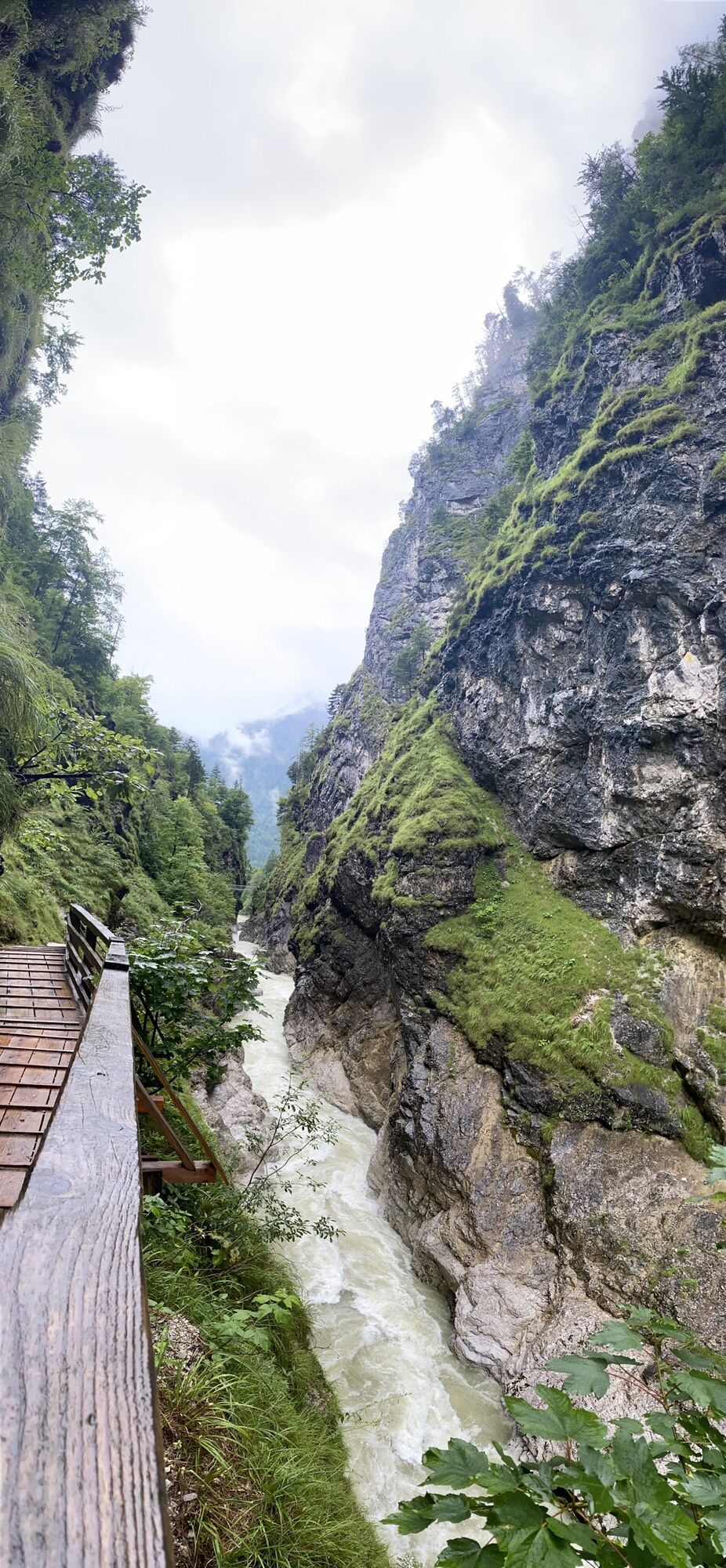


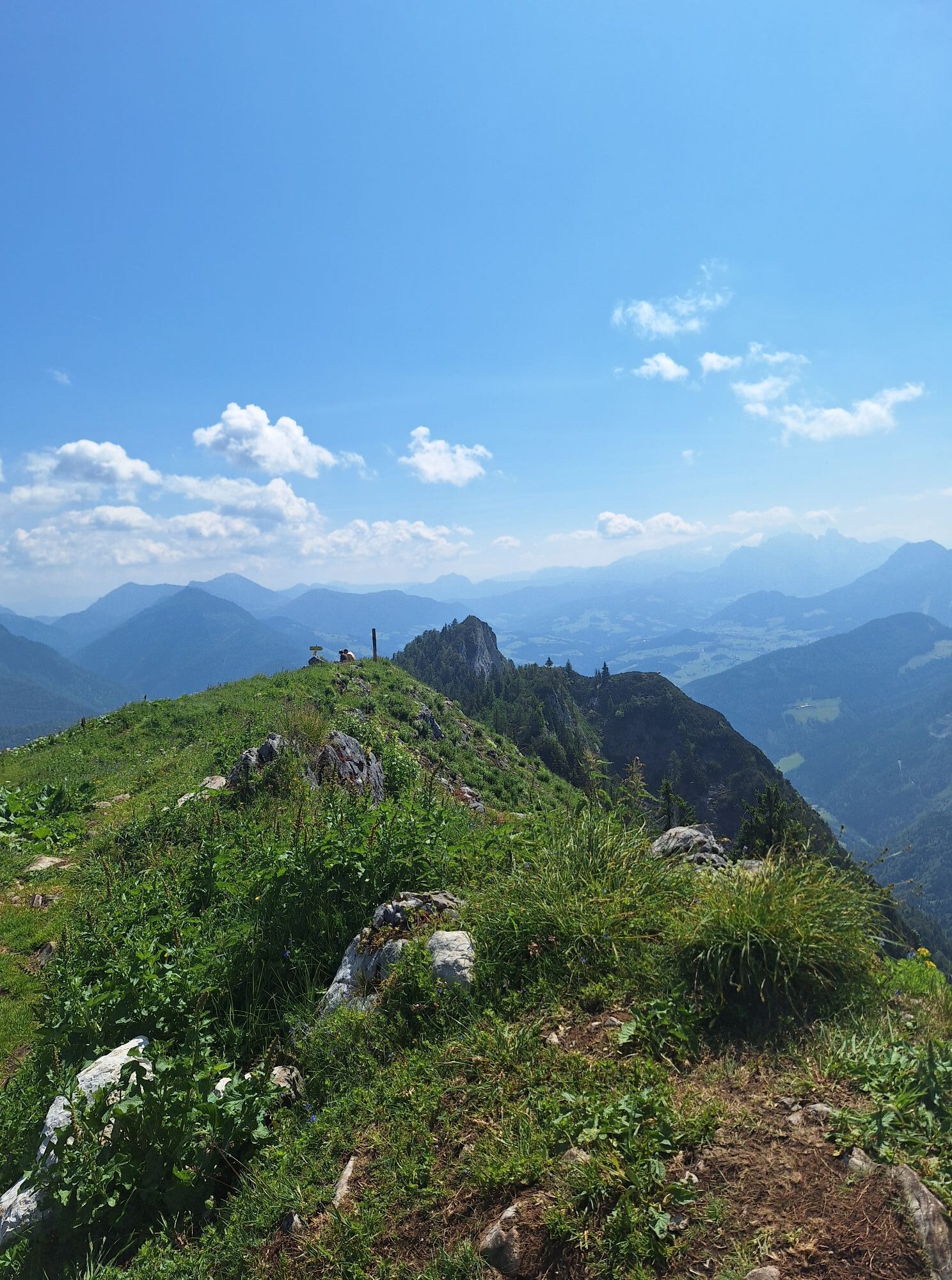
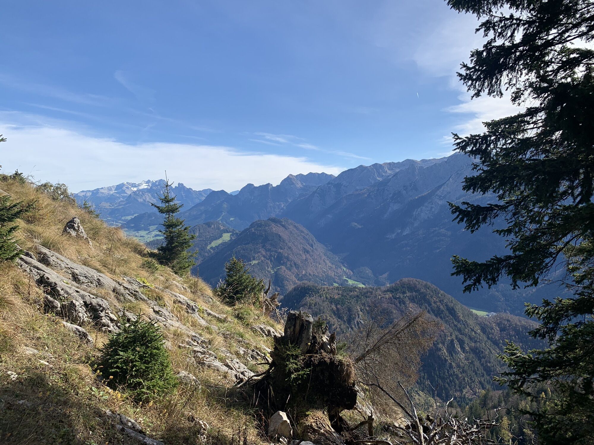
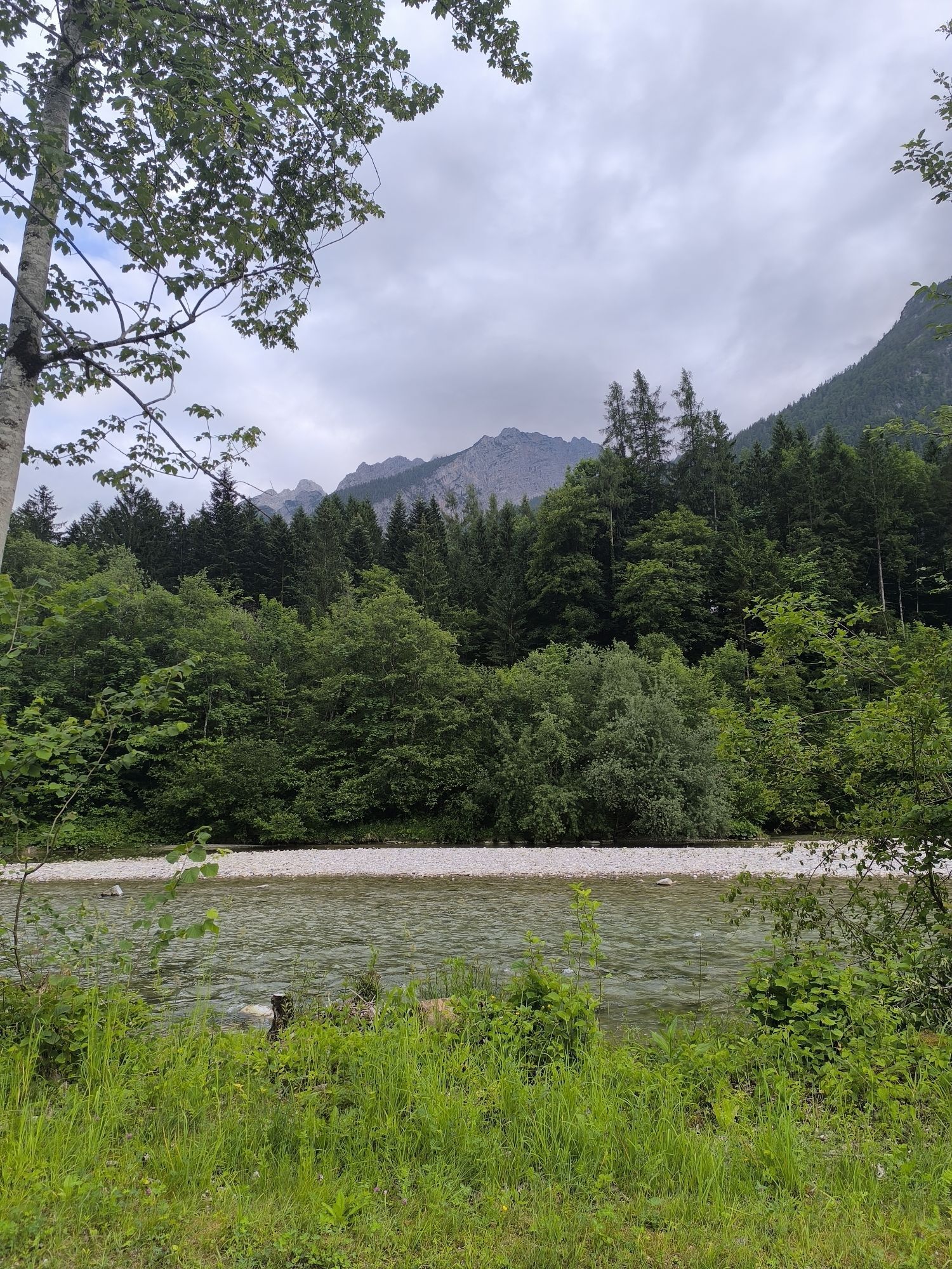
From the inn „Pointwirt“ we hike along the municipal road towards Oberscheffau until reaching „Pointbauer“. Here we keep left and walk on the paved, ascending road over Rabenstein to the Ölbrenner bridge....
Descent options:
1.) Descent like ascent
2.) Descent on trail no. 844, 27 to the inn „Bachrainer“ Mossegg. Here we keep left and follow (no. 27A) the gently descending road (approx. 500 m) to the house „Holzer”. Shortly after, the path leads us left into the forest, descending to „Schröck” and further right down the forest road, past a hunting lodge, to a fork in the road. We follow left and hike trail no. 92 uphill to „Haareck”, from where it goes downhill to the right, past Hochbergbauer and Schwalberbauer, after a short time reaching our starting point Unterscheffau.
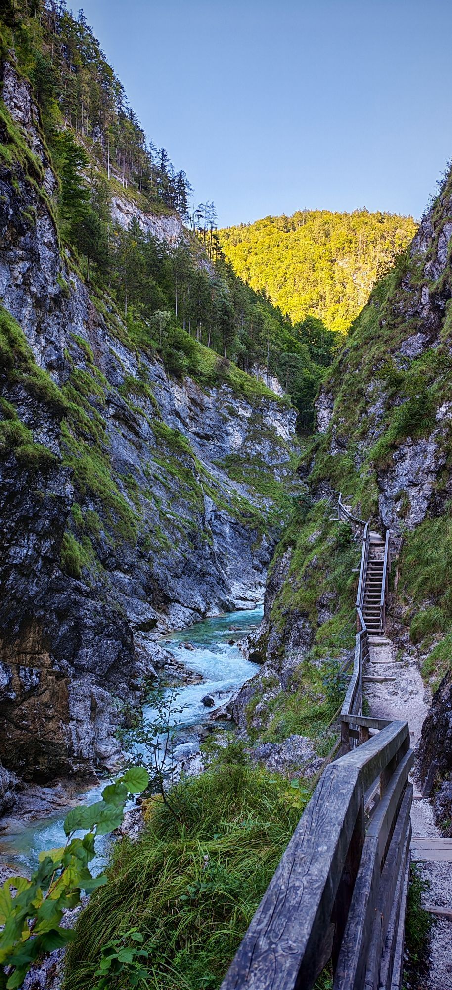
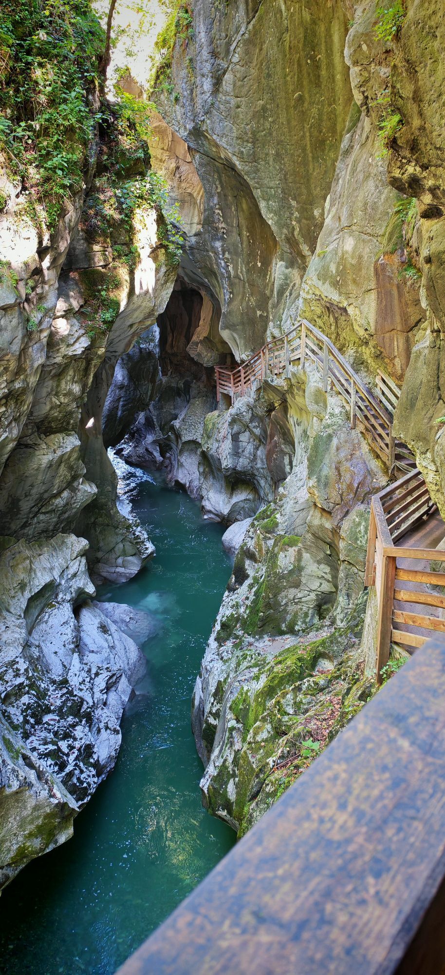
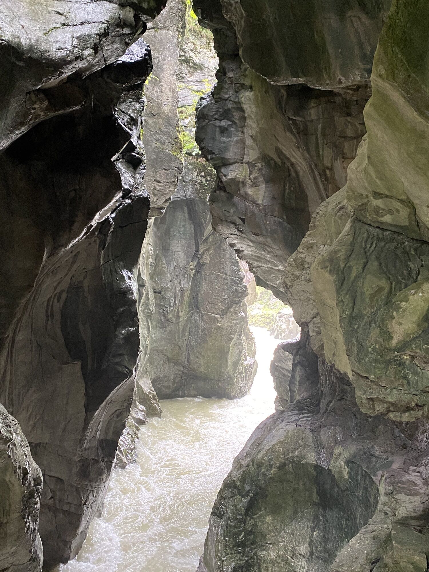
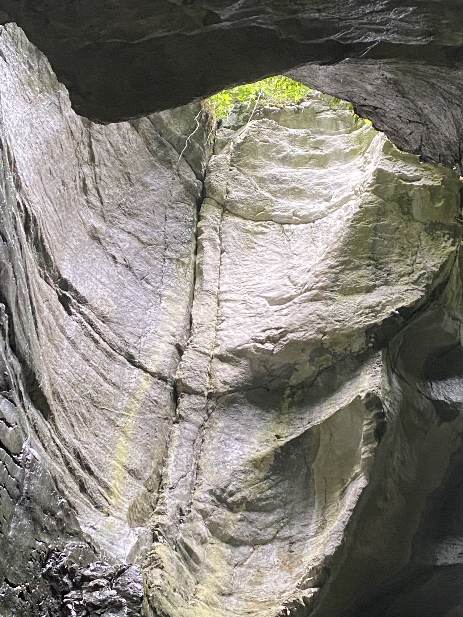
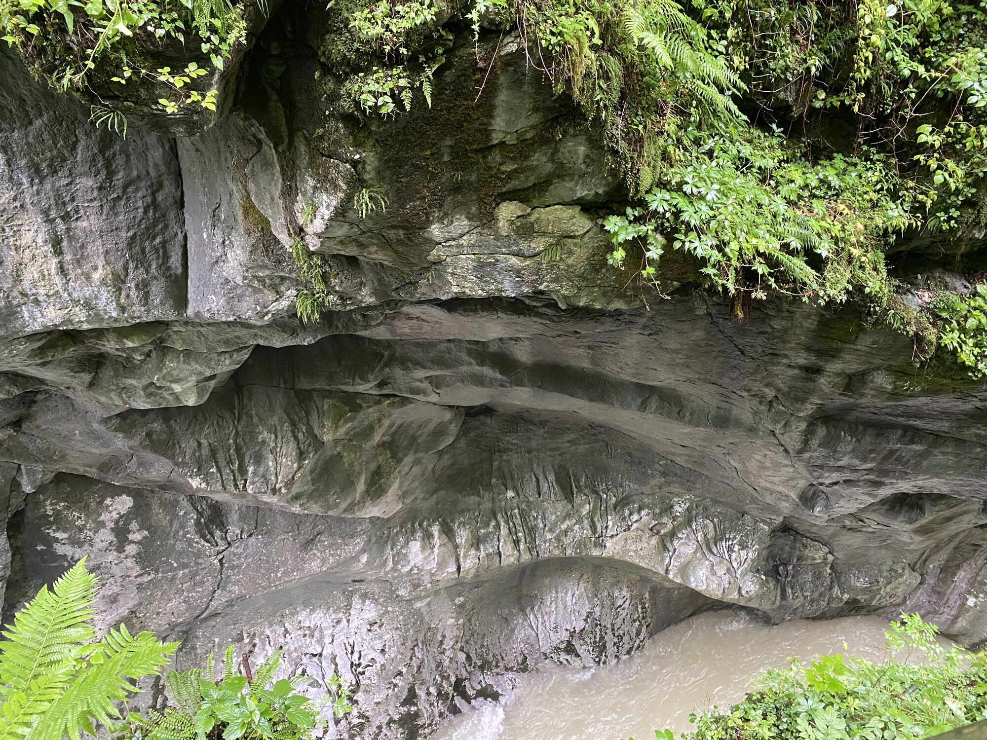
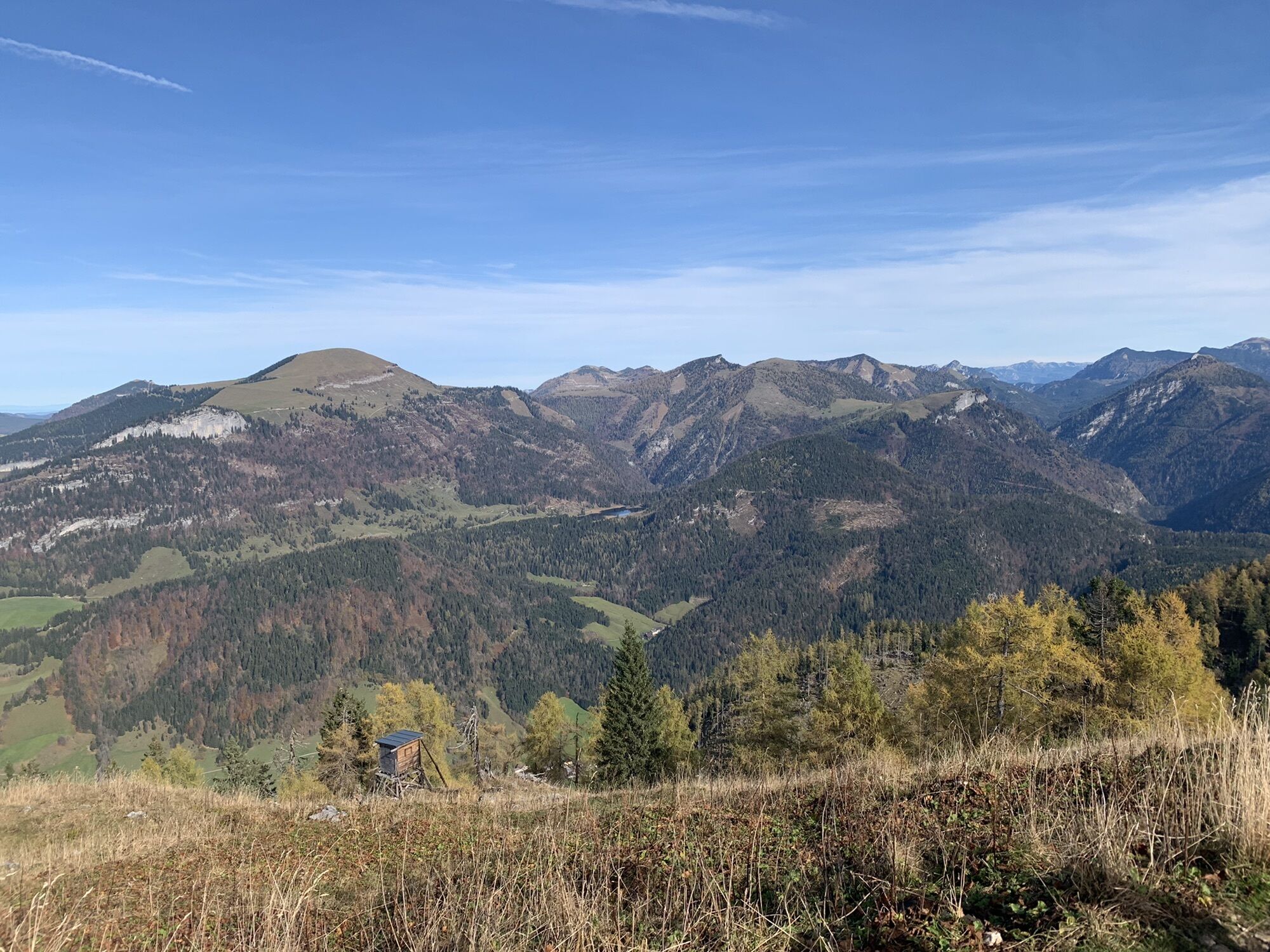
3.) Descent from the summit to Lehngriesalm (ruined) and further down the path to Wallingalm. Now we follow the forest road trail no. 91, 844 to Heubergalm and further to Oberscheffau (Lammerklamm). Here there is the possibility to return by post bus, or on foot along the Lammer circular trail no. 94 (approx. 1 hour) to the starting point.
For each descent variant (+ ascent), one should plan a full day hike.

Descent options:
1.) Descent like ascent
2.) Descent on trail no. 844, 27 to the inn „Bachrainer“ Mossegg. Here we keep left and follow (no. 27A) the gently descending road (approx. 500 m) to the house „Holzer”. Shortly after, the path leads us left into the forest, descending to „Schröck” and further right down the forest road, past a hunting lodge, to a fork in the road. We follow left and hike trail no. 92 uphill to „Haareck”, from where it goes downhill to the right, past Hochbergbauer and Schwalberbauer, after a short time reaching our starting point Unterscheffau.
3.) Descent from the summit to Lehngriesalm (ruined) and further down the path to Wallingalm. Now we follow the forest road trail no. 91, 844 to Heubergalm and further to Oberscheffau (Lammerklamm). Here there is the possibility to return by post bus, or on foot along the Lammer circular trail no. 94 (approx. 1 hour) to the starting point.
For each descent variant (+ ascent), one should plan a full day hike.
Popularne wycieczki w okolicy
-
4,7
Schwarzer Berg / Golling
średniWędrówka 2,54 km -
4,9
Werfenweng Mountainbikerunde Söldenhütte
średniMountainbike 18,8 km -
4,9
Hoher Göll über Mannlsteig
średniWędrówka 16 km -
4,8
Gennerhorn über Lämmerbach
średniWędrówka 10,2 km -
4,7
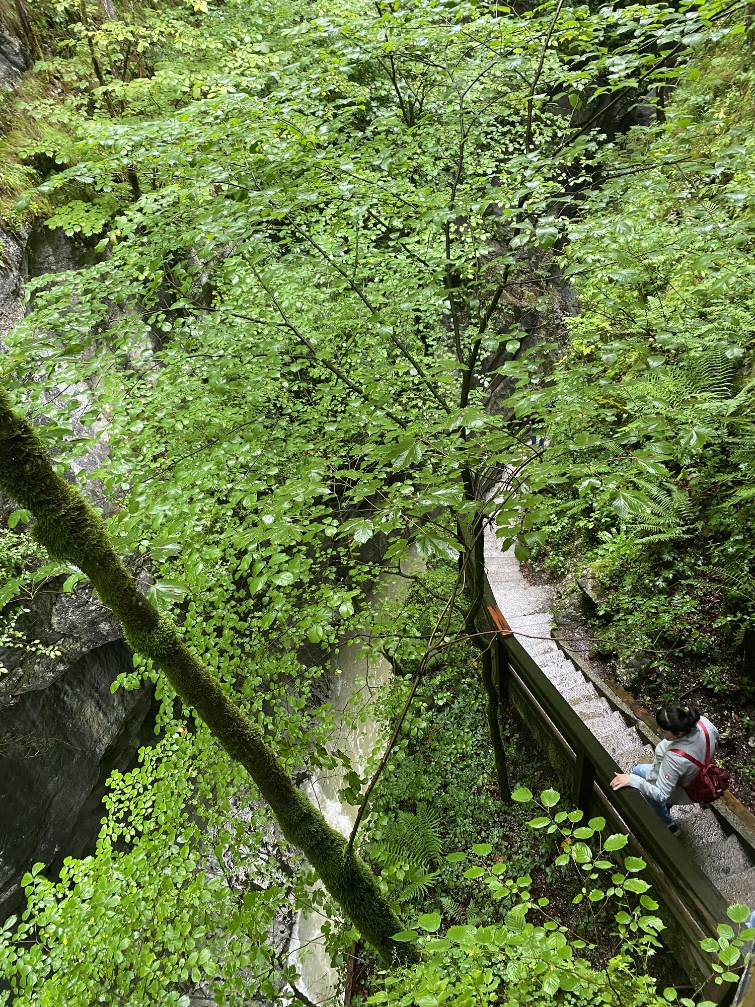
Mühlenweg und Winnerfall Scheffau am Tennengebirge
średniWędrówka 4,79 km -
4,7
Schlenken von Halleiner Hütte
średniWędrówka 7,29 km -
4,6
Schlenken and Schmittenstein hike
ciężkiWędrówka 10,9 km -
4,5
Hoher Göll vom Alpeltal
ciężkiWędrówka 15,0 km -
4,3
3 Peaks route "Gennerhorn-Gruberhorn-Regenspitz"
ciężkiWędrówka 14,2 km -
4,4
From Satzstein via Feichtenstein Alm to Regenspitz
średniWędrówka 11,2 km
Wędrówki i tropienie


Nie przegap ofert i inspiracji na następne wakacje
Twój adres e-mail została dodana do listy mailingowej.