


From Satzstein via Feichtenstein Alm to Regenspitz
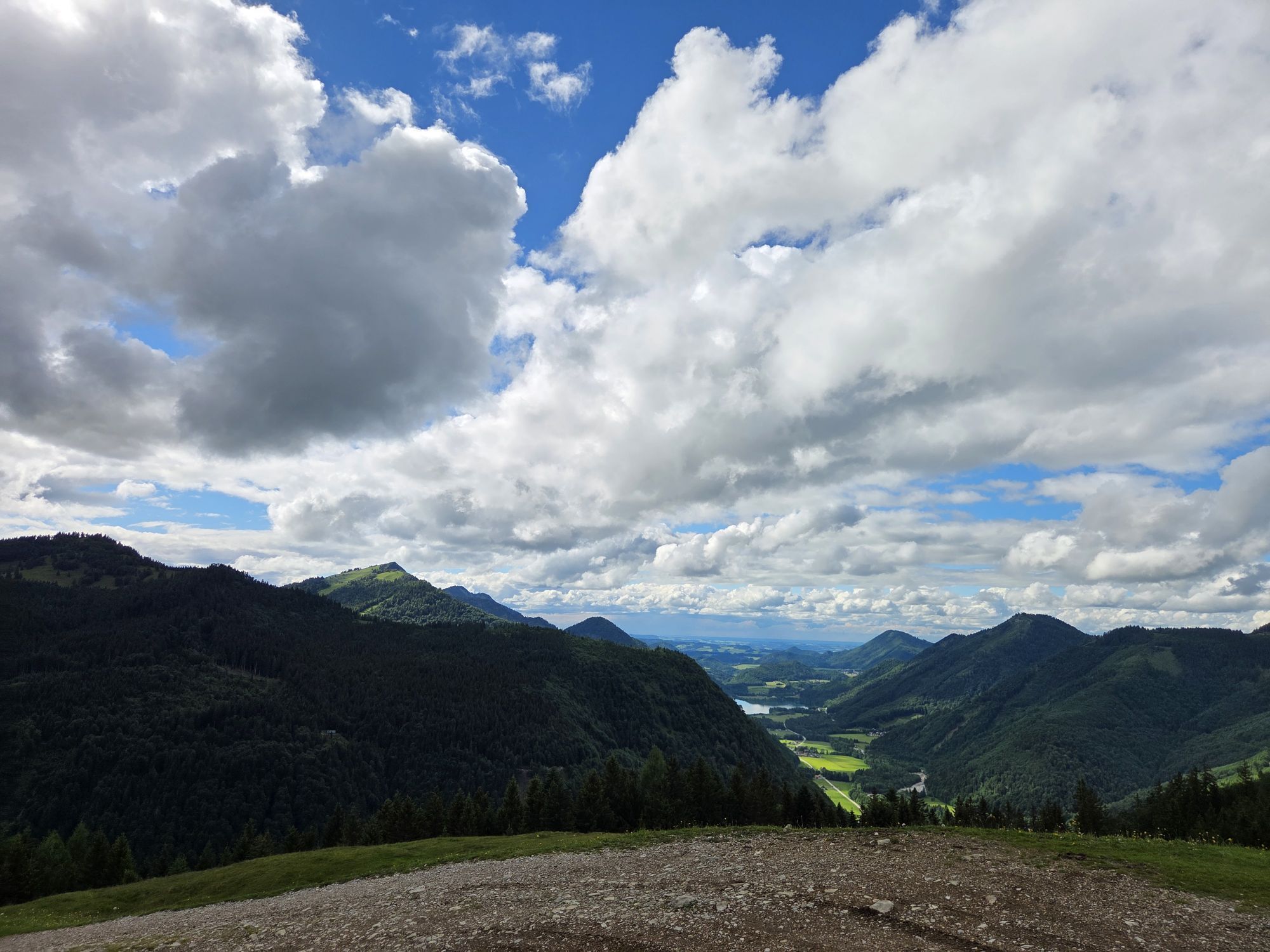
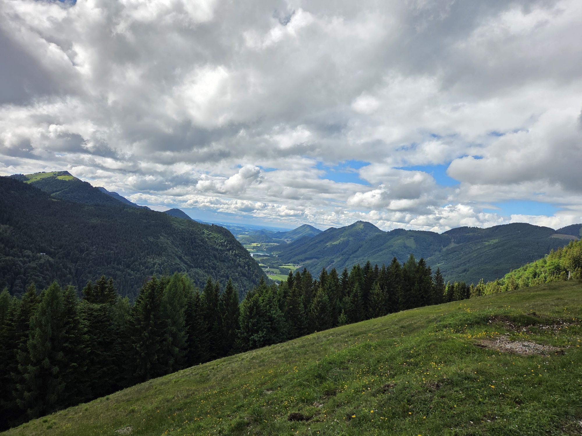
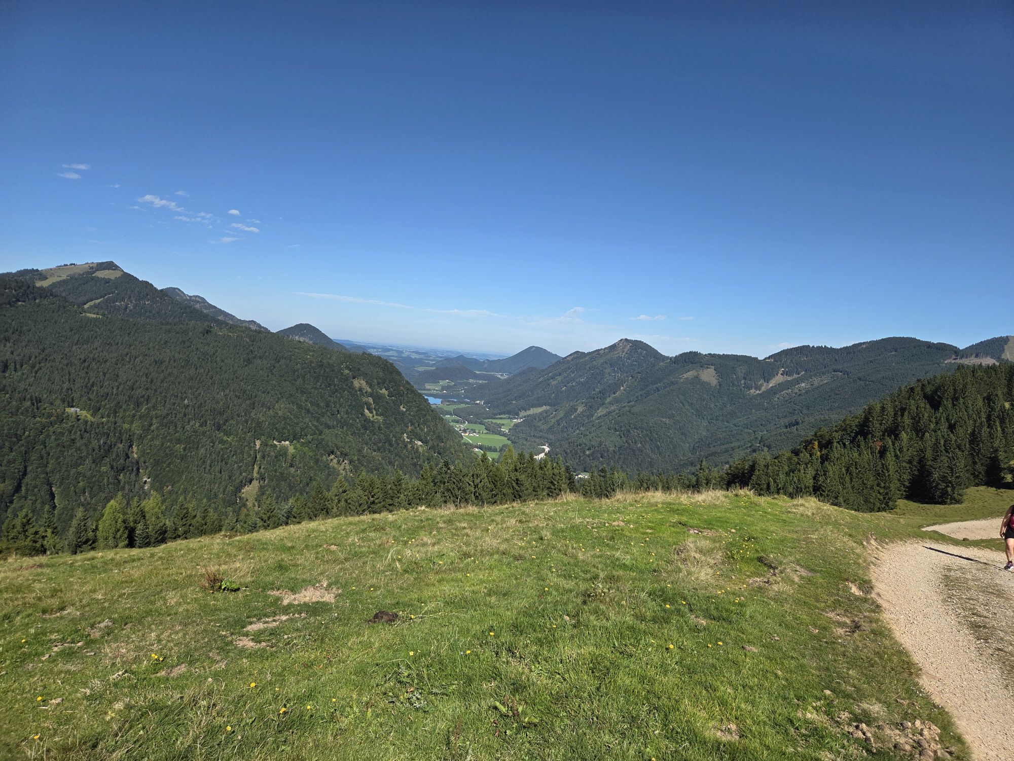
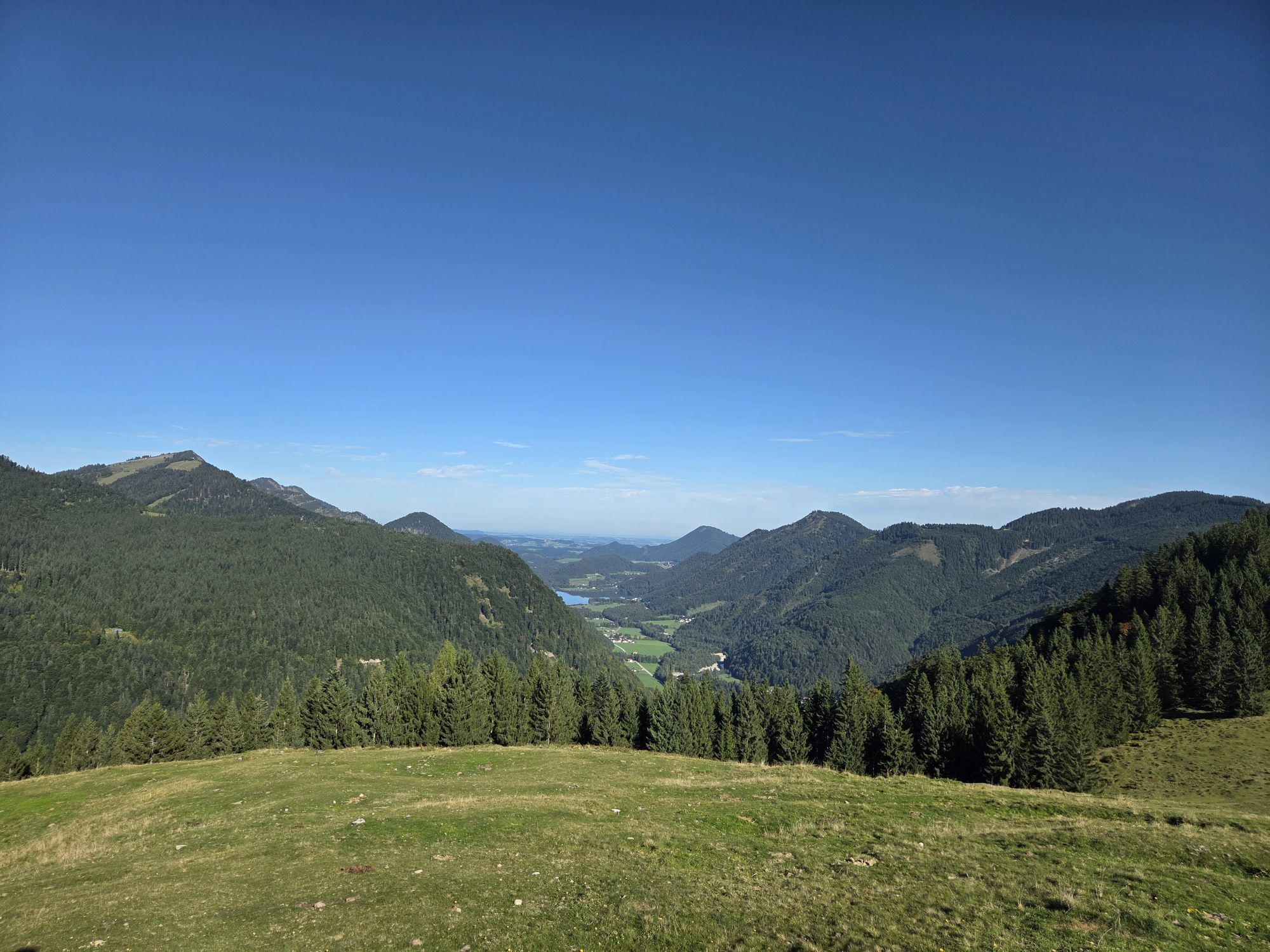
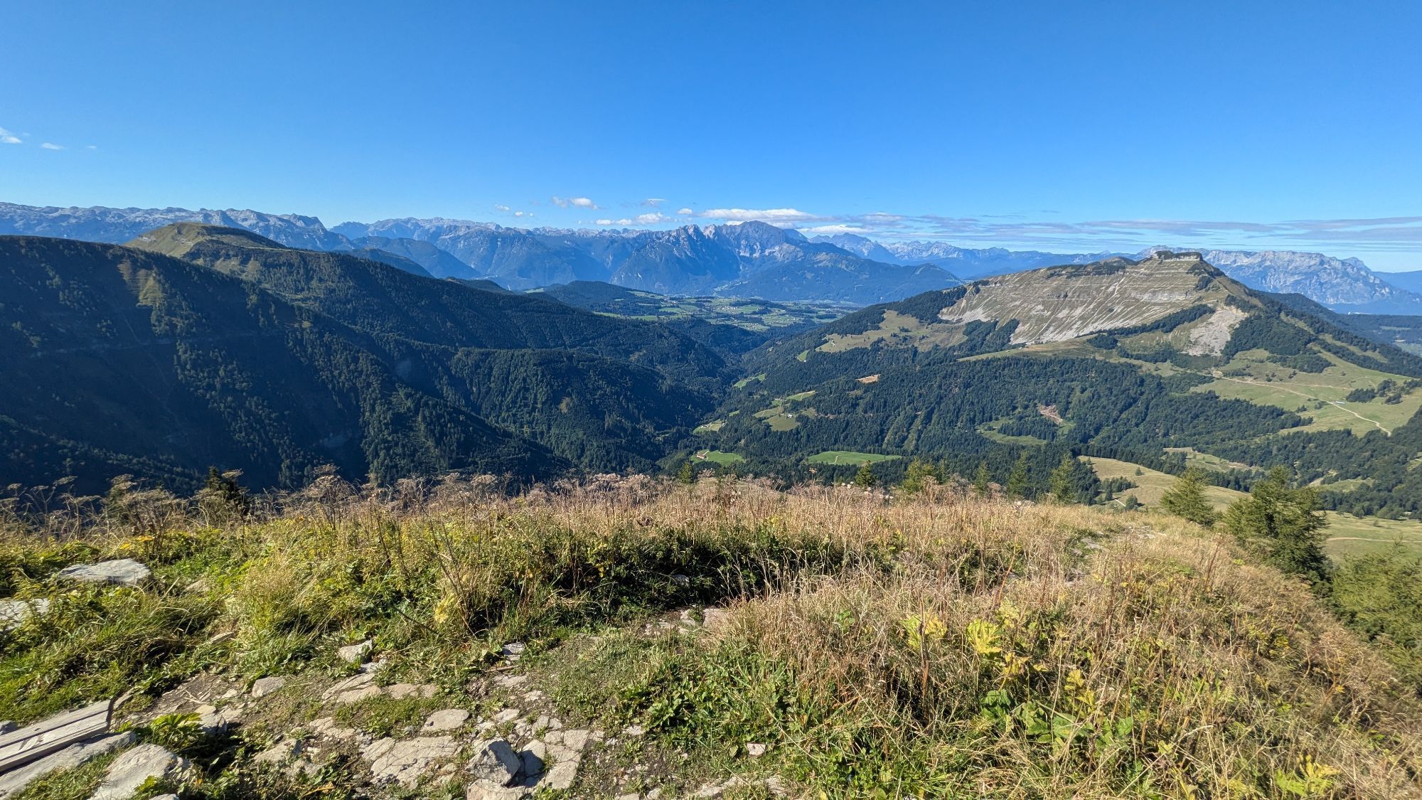
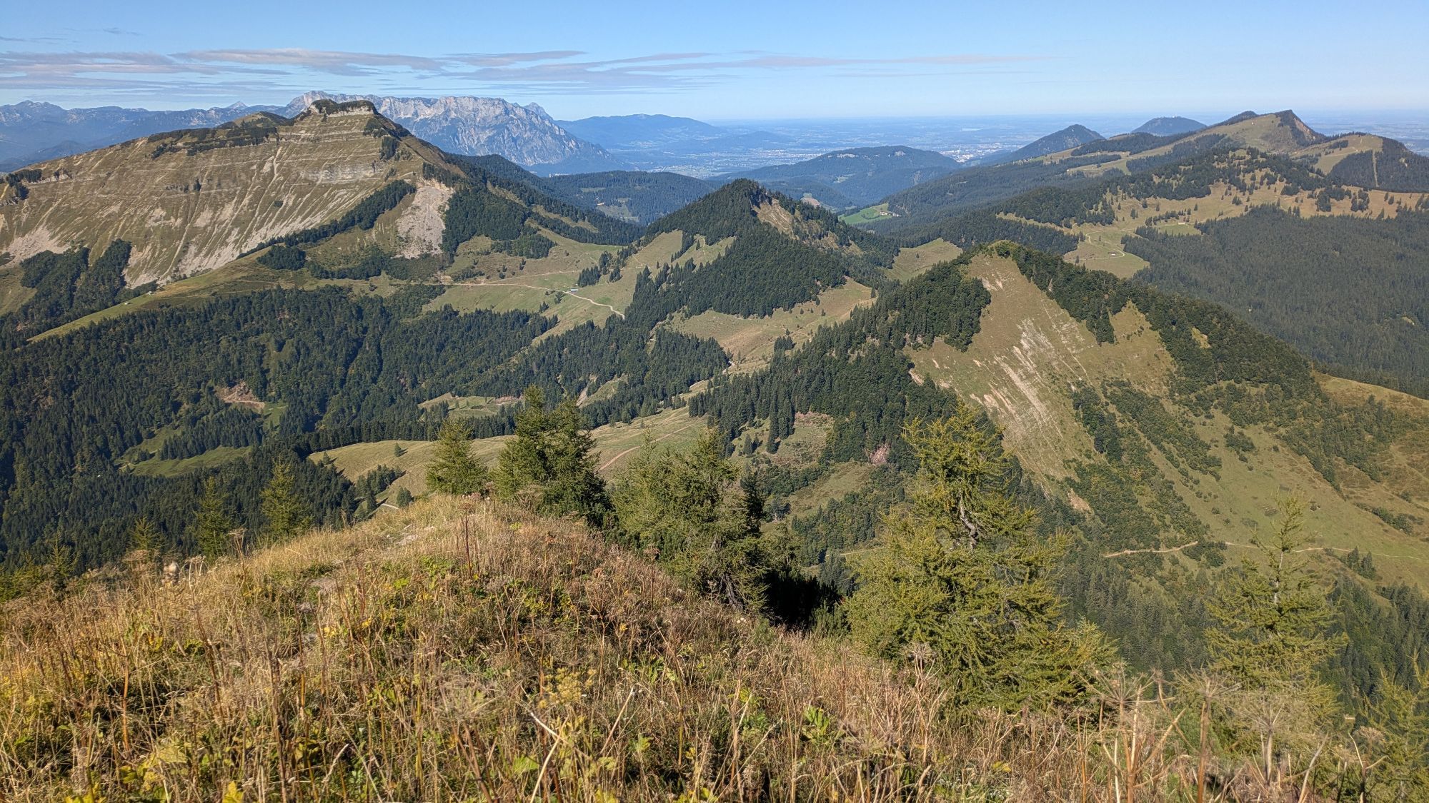
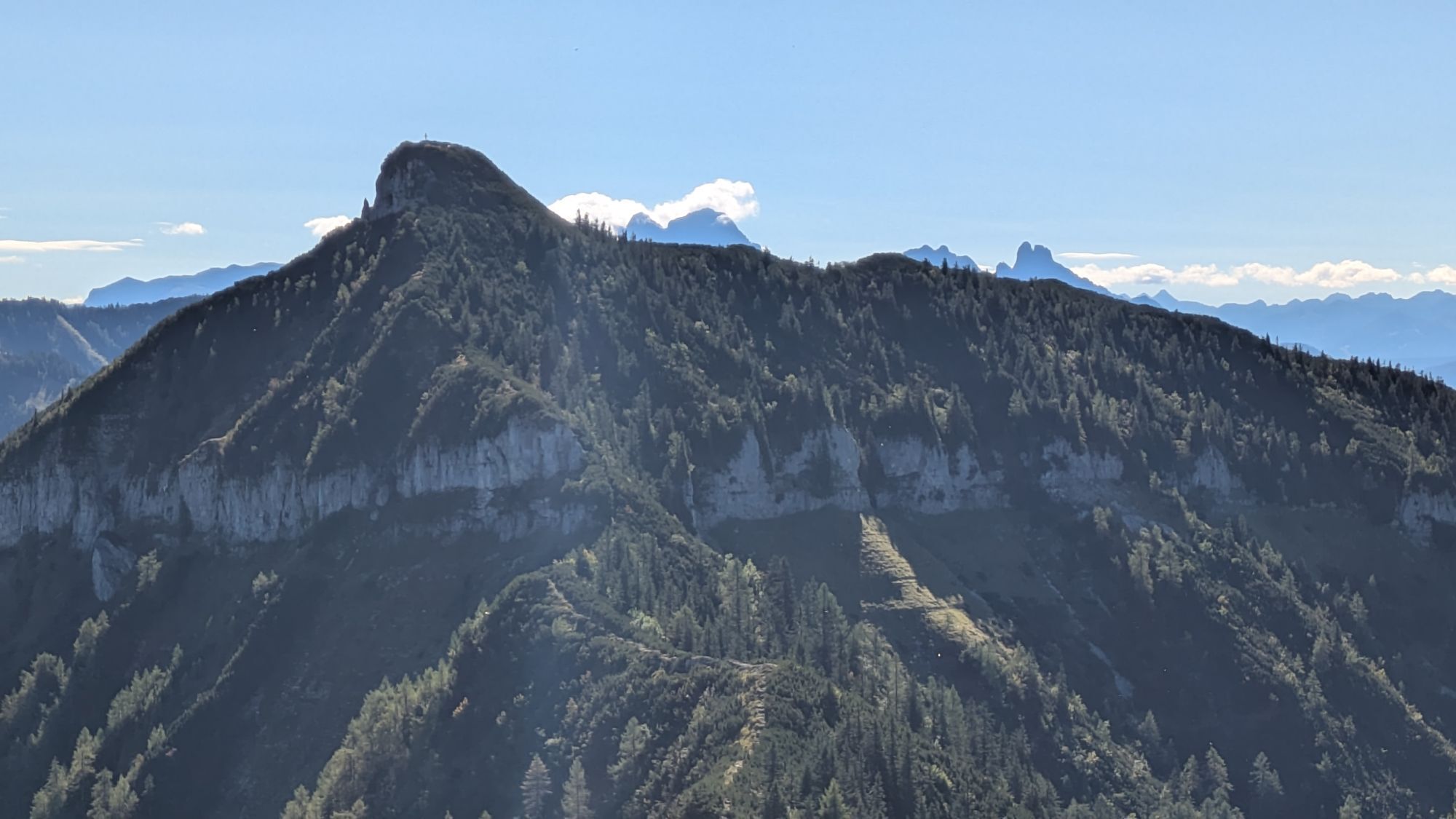
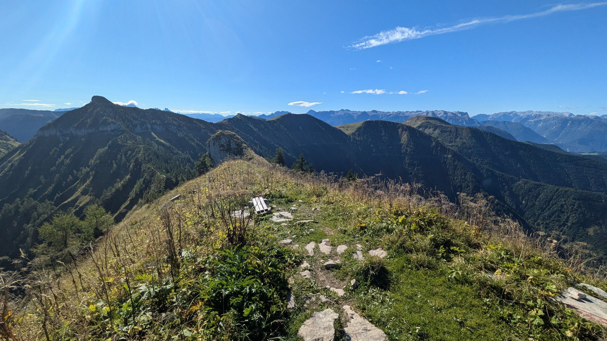
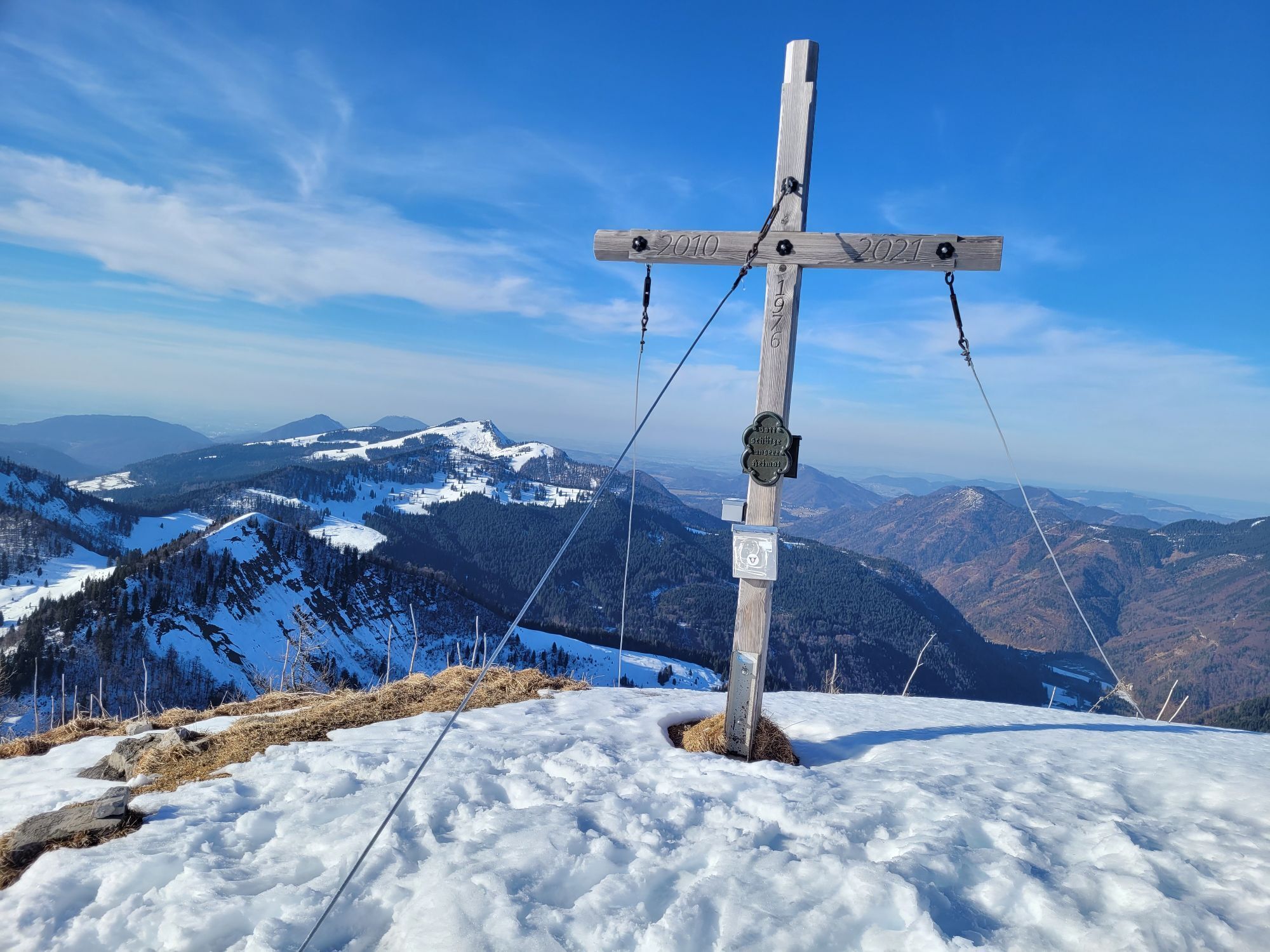

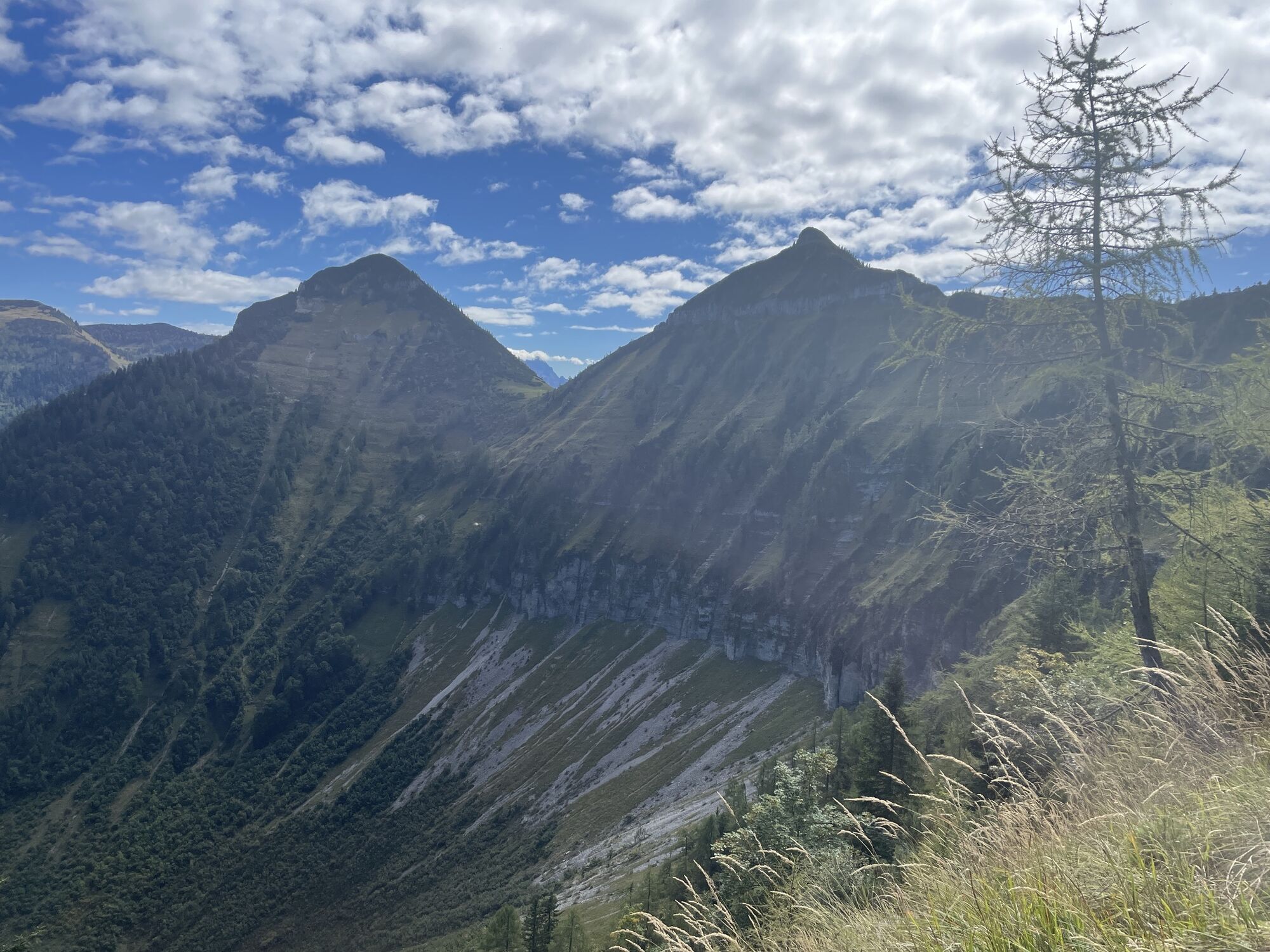

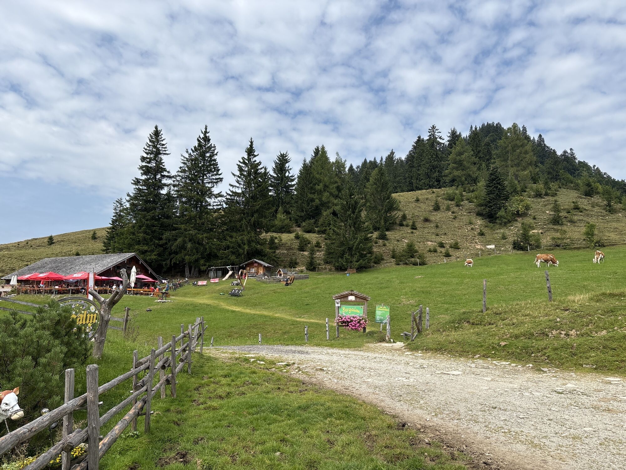
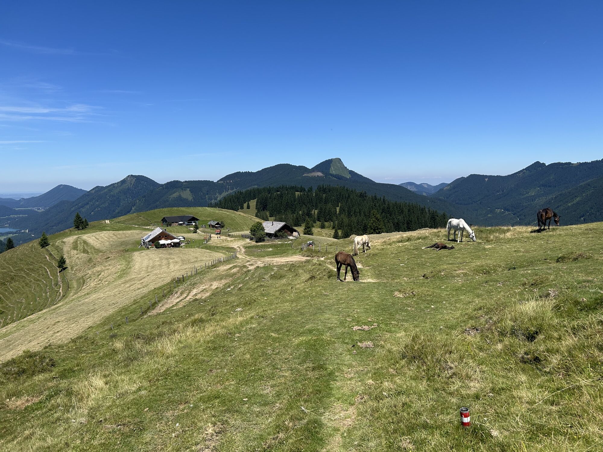
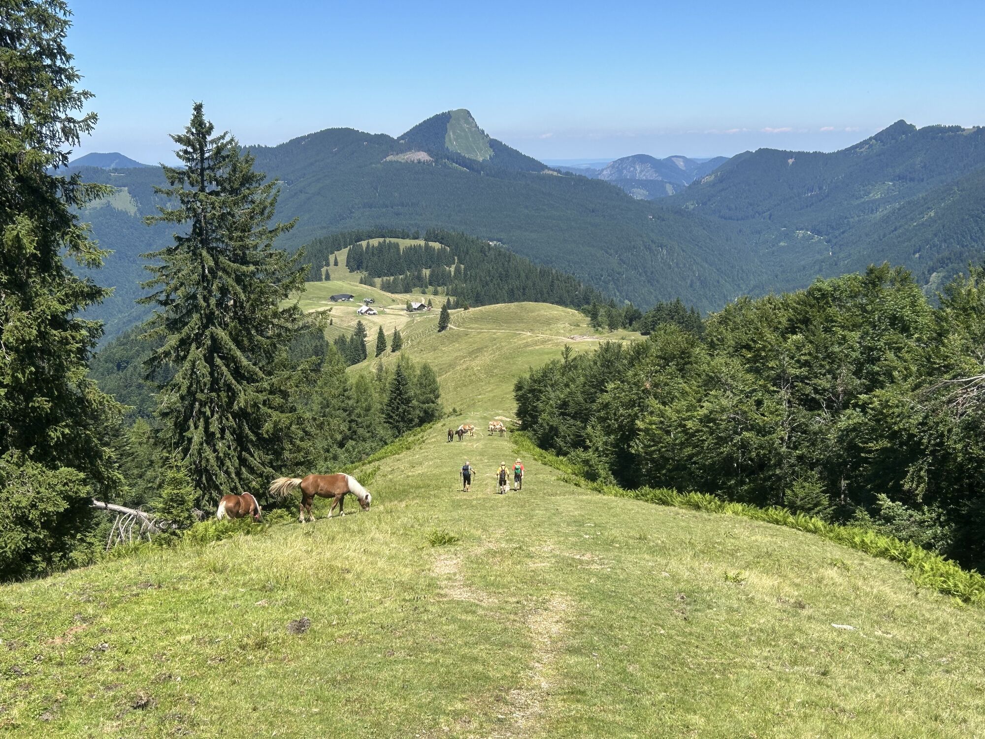
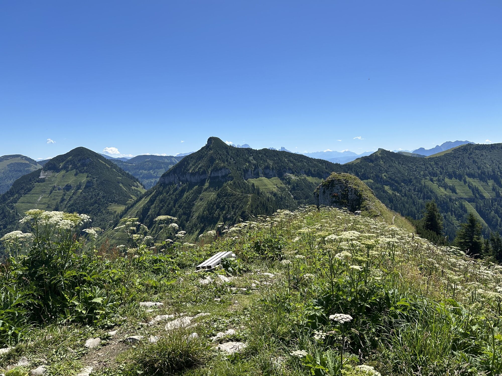
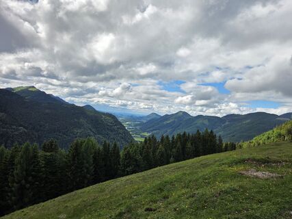
Regenspitz is one of the three striking peaks south of Hintersee. They are visible from afar. The two alms - Feichtenstein and Bergalm - are popular excursion destinations for families and mountain bikers....
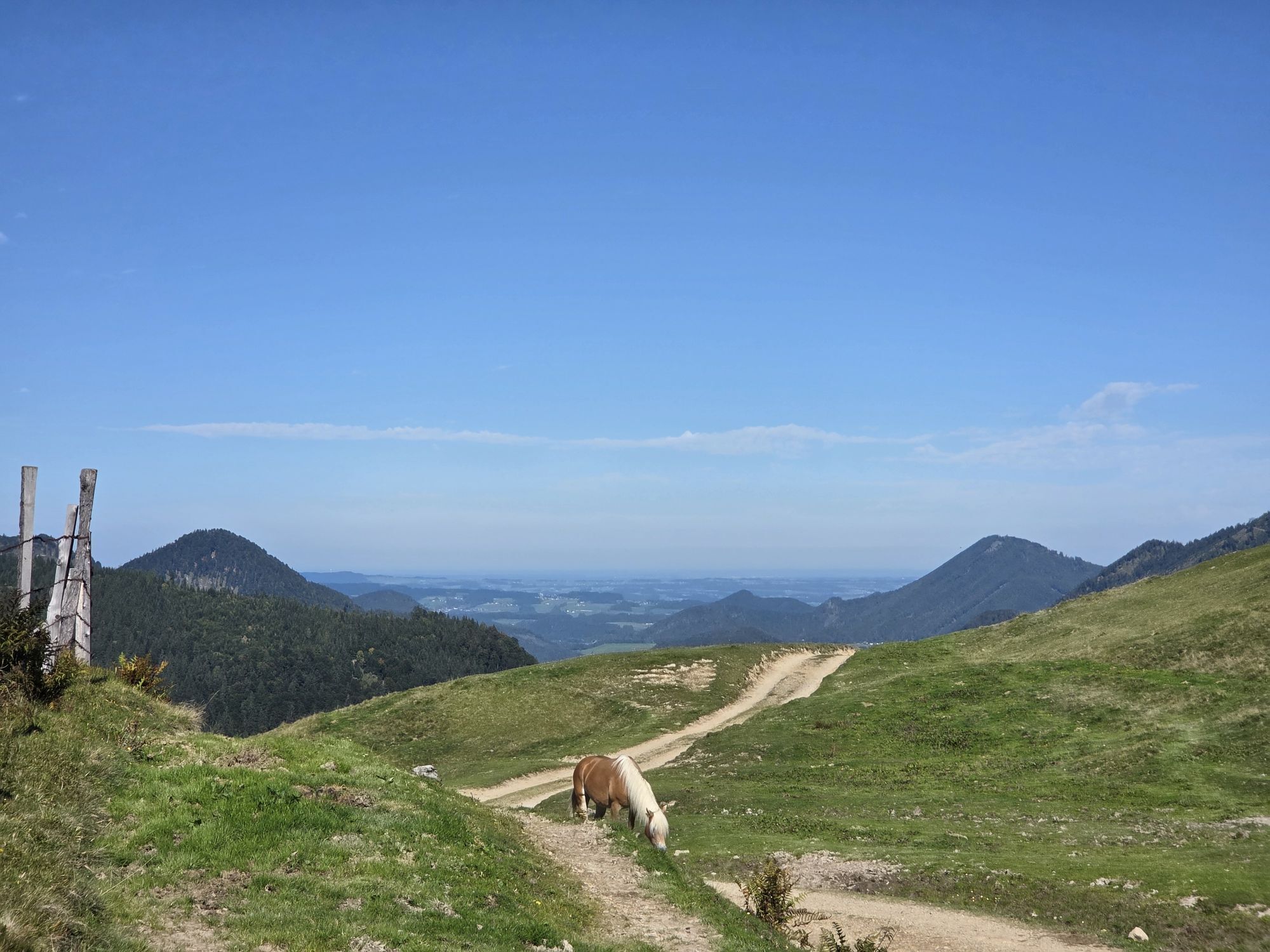
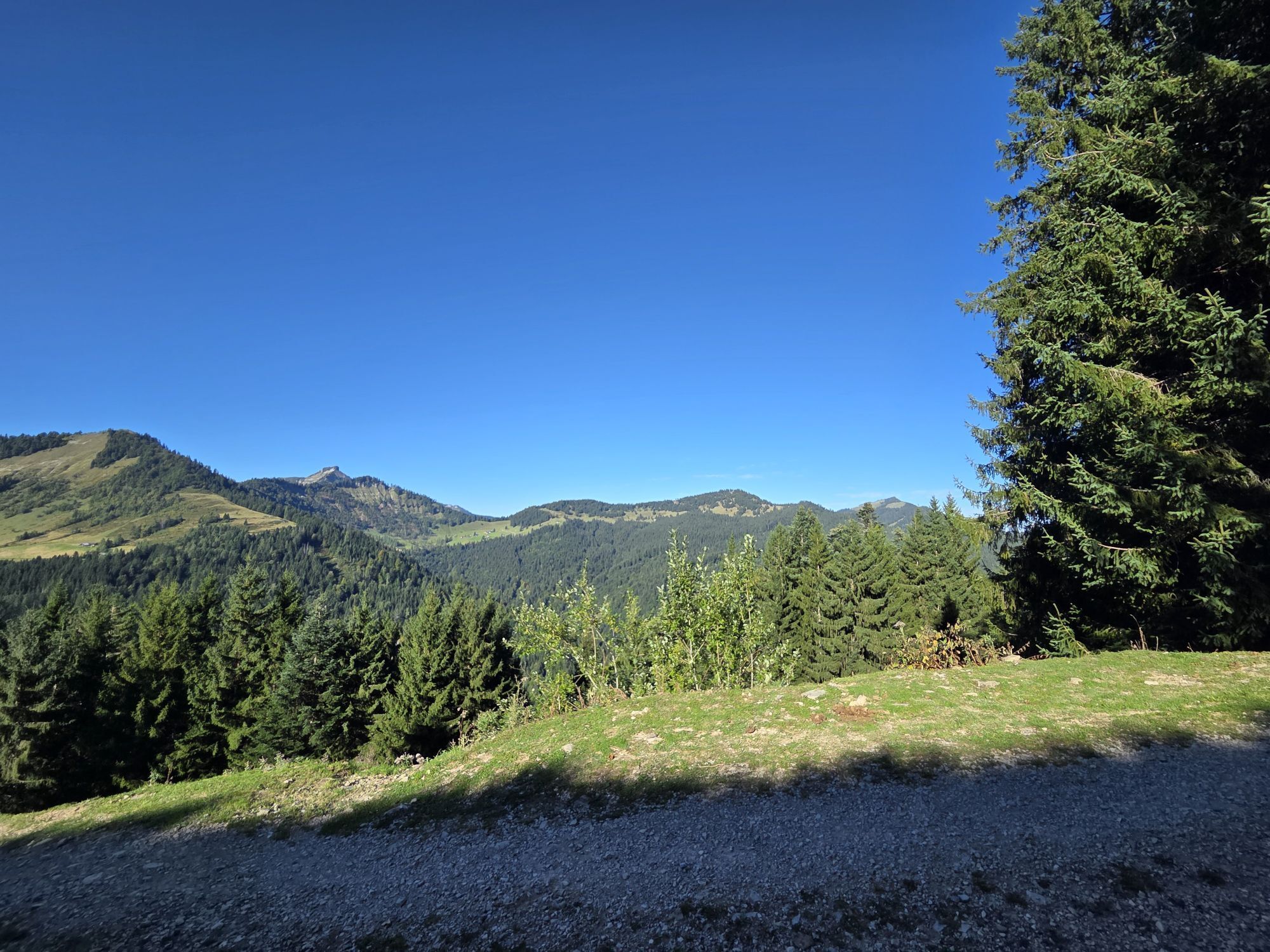
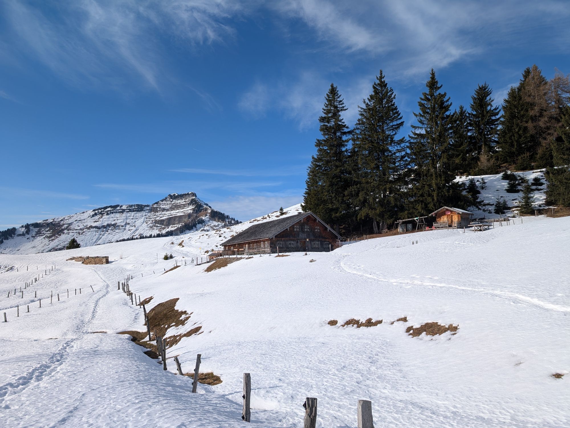
Regenspitz is one of the three striking peaks south of Hintersee. They are visible from afar. The two alms - Feichtenstein and Bergalm - are popular excursion destinations for families and mountain bikers. The hut keepers spoil their guests with hearty snacks and various homemade sweet treats. Both alms are very suitable for a stopover, also for longer hikes to one or another additional peak.

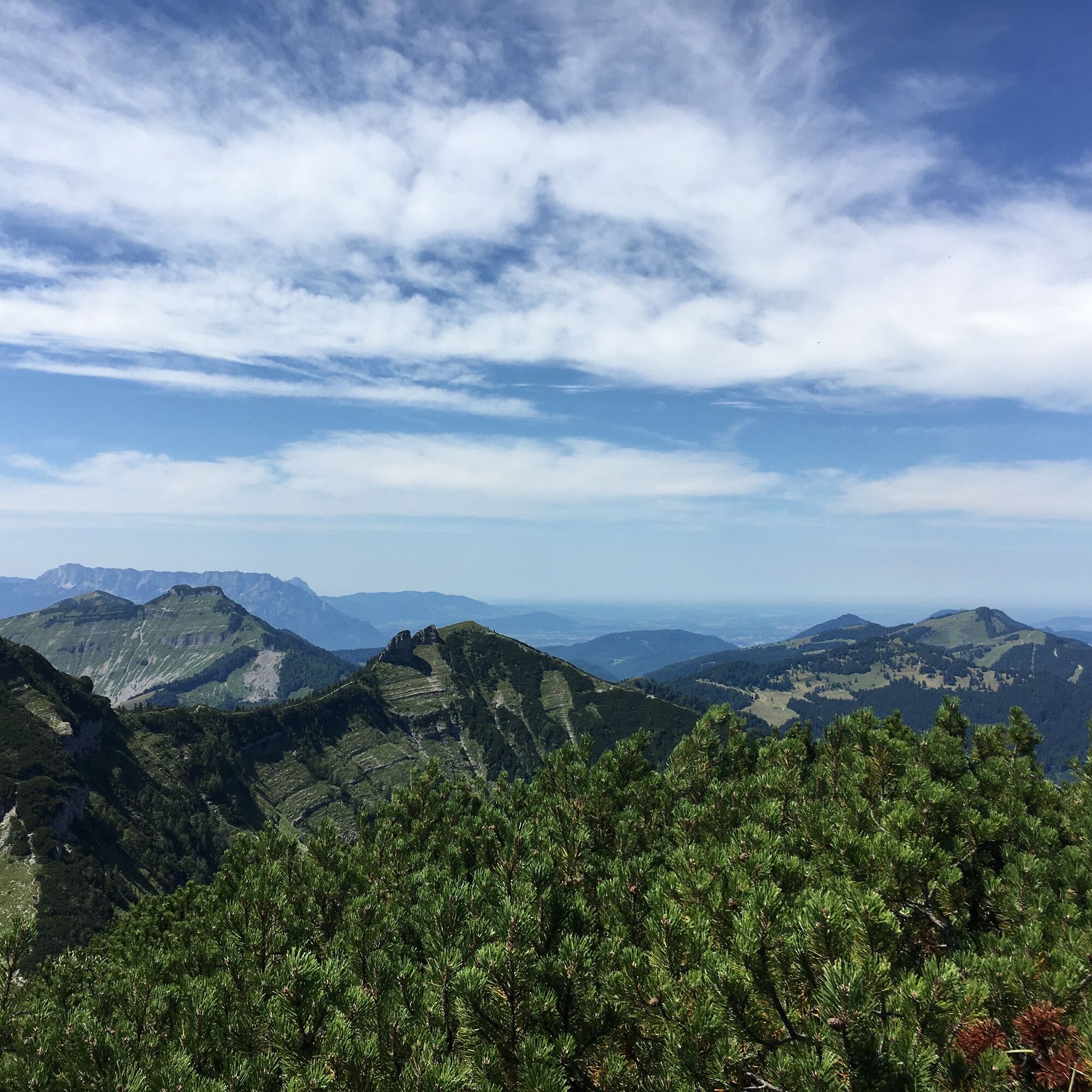
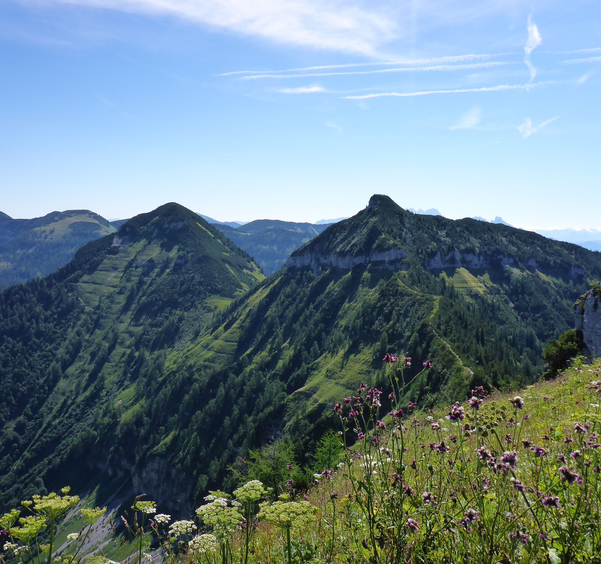
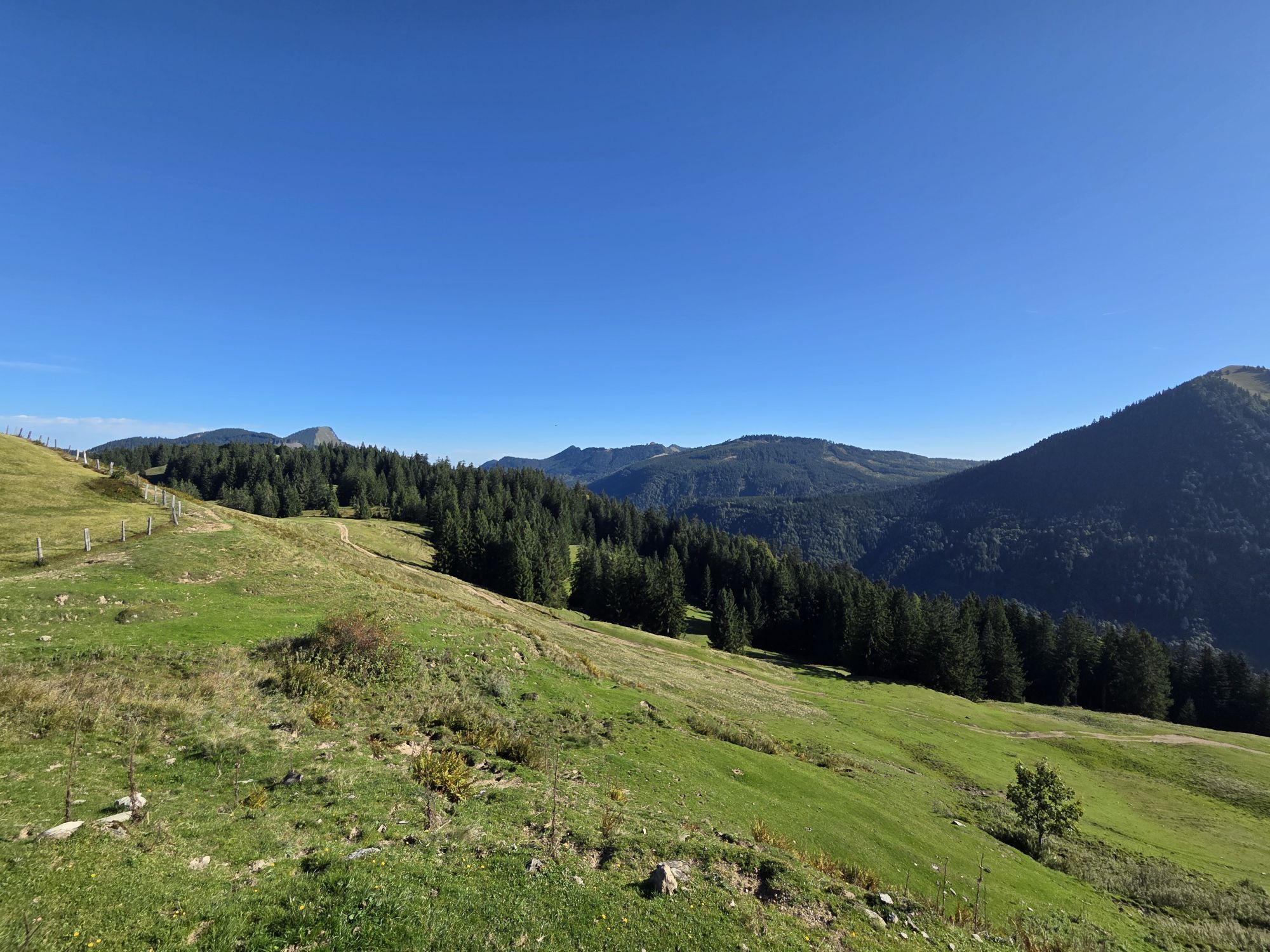
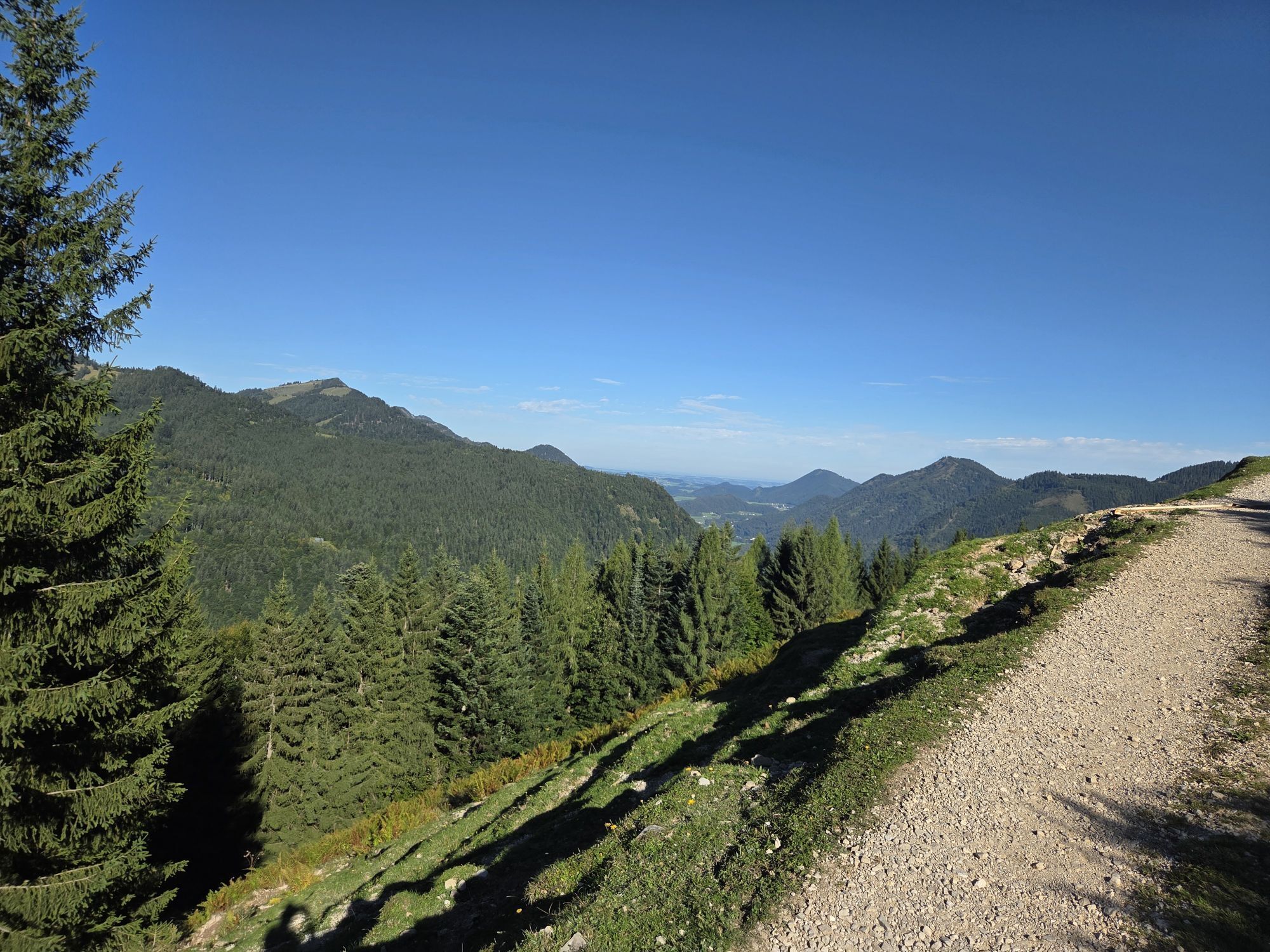
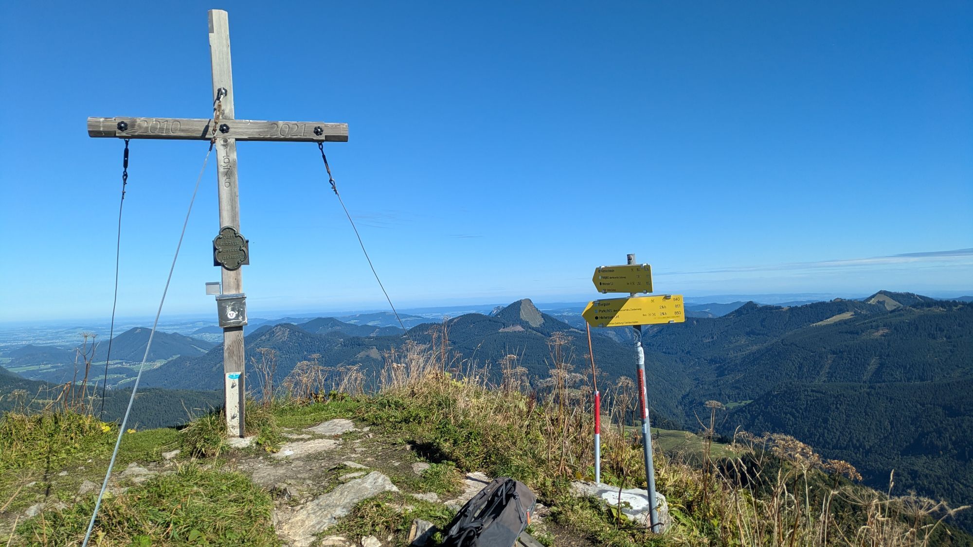
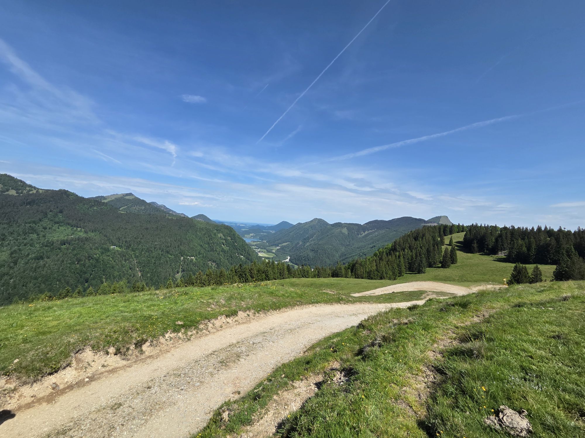
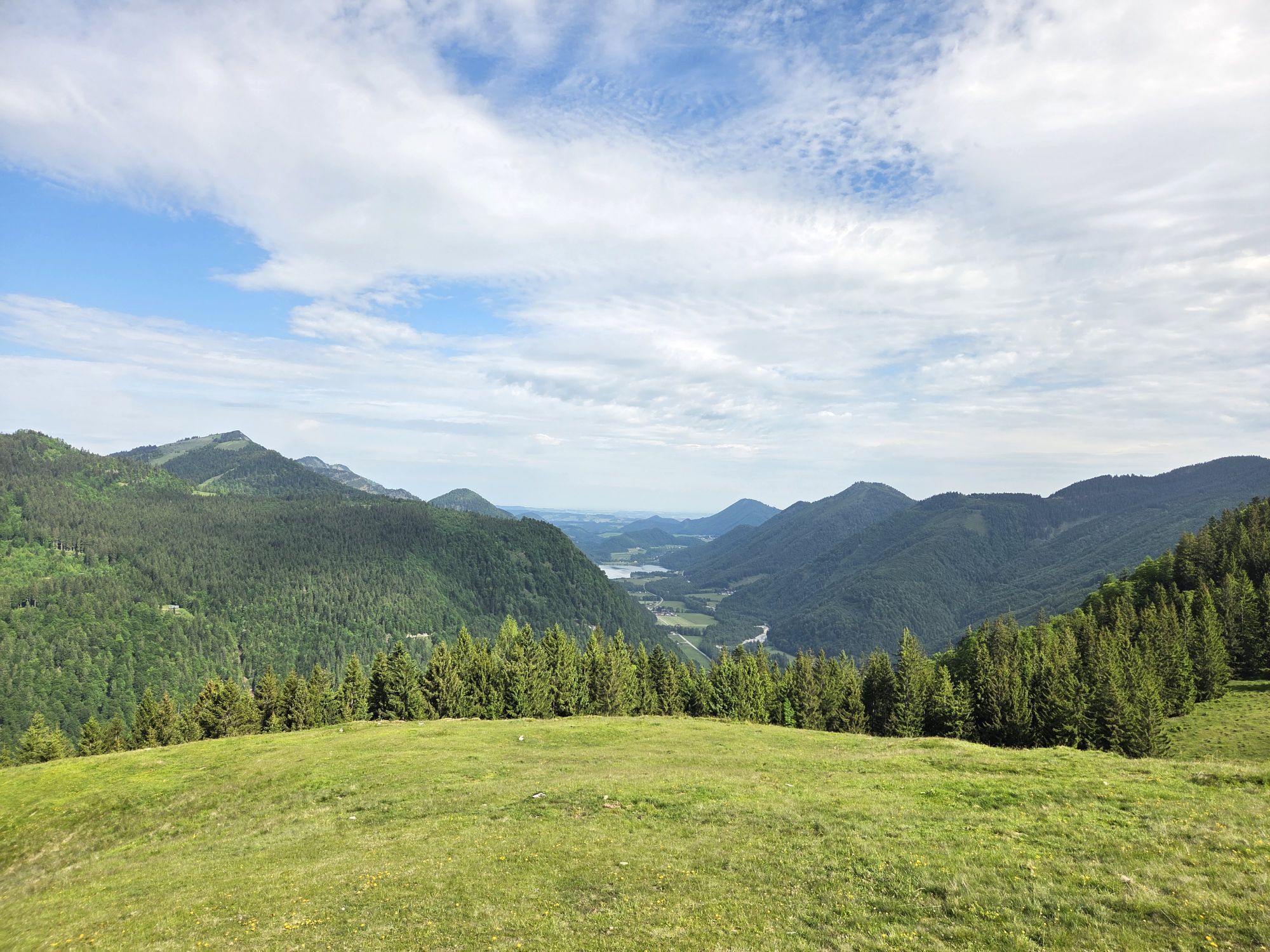
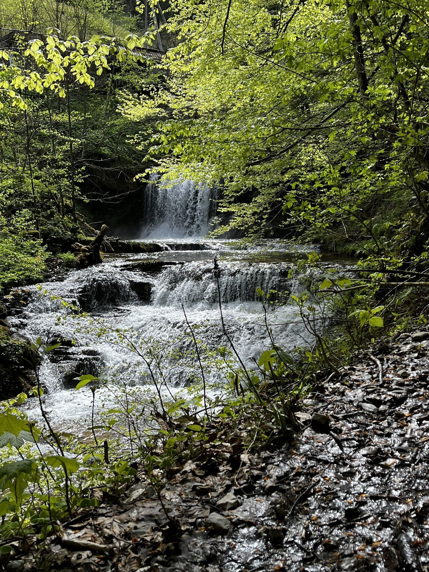
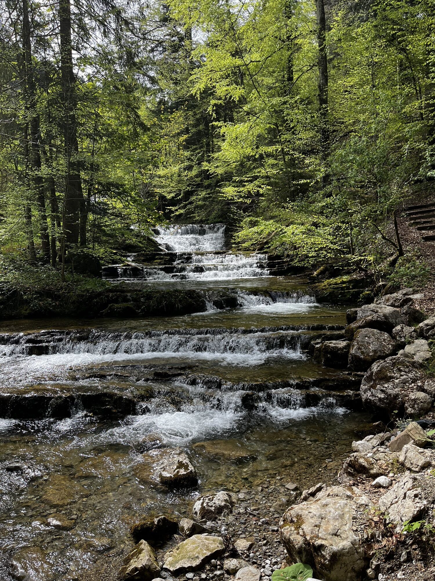
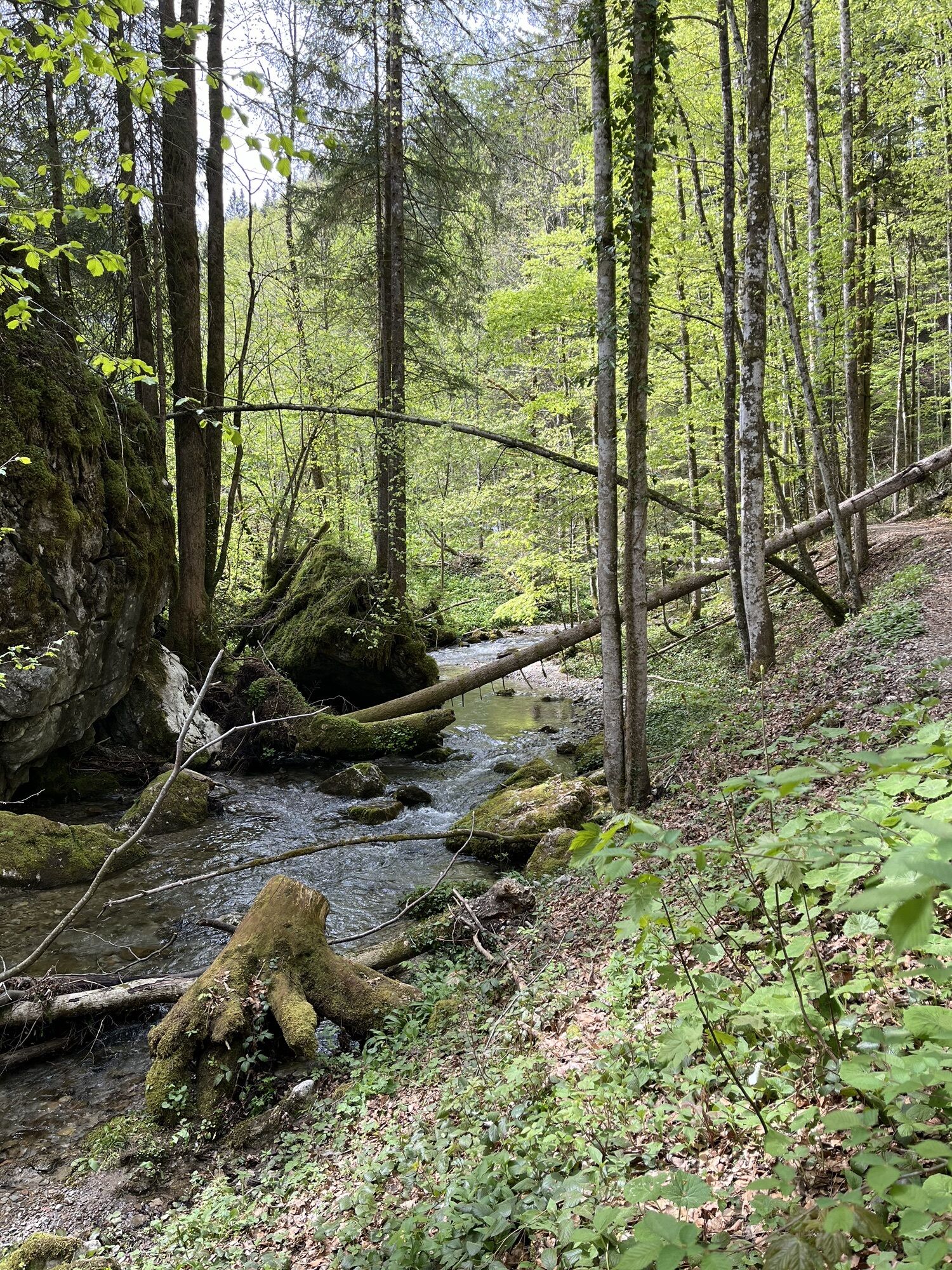
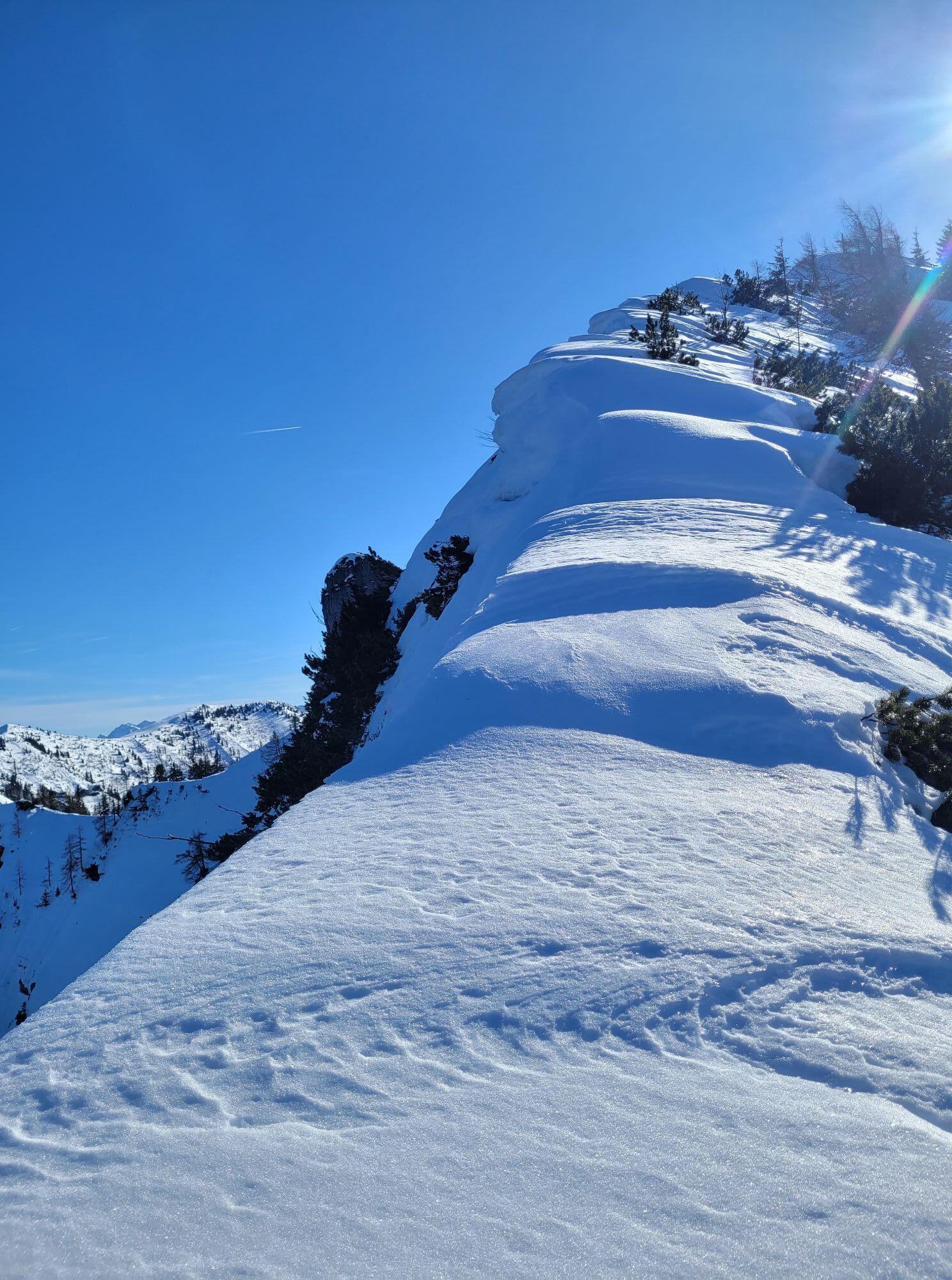
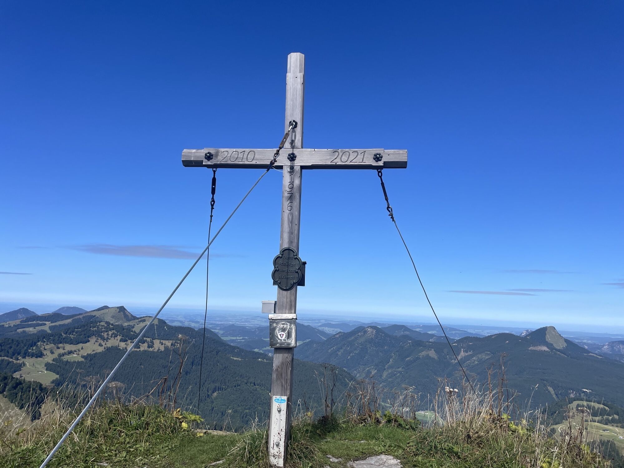
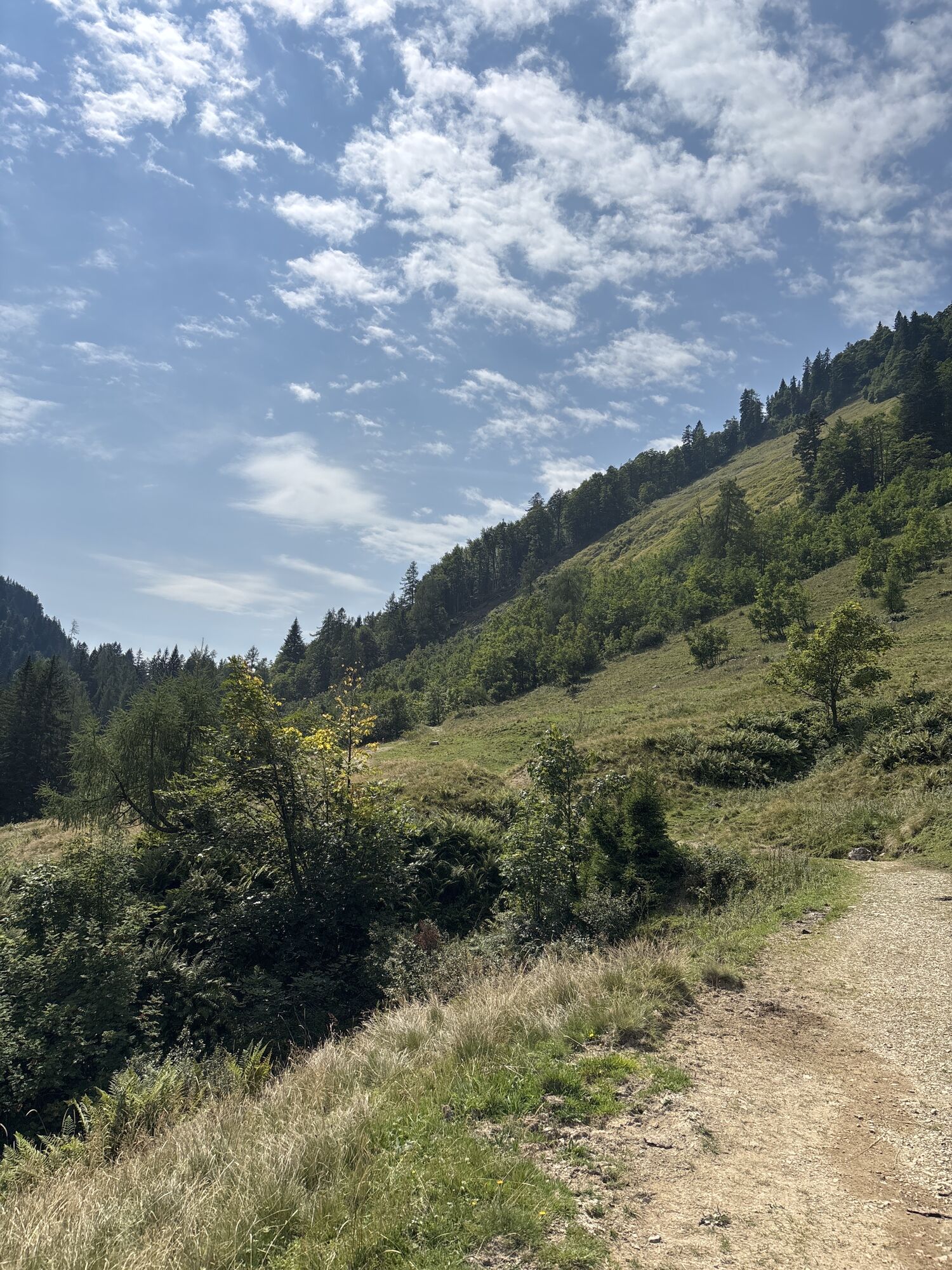
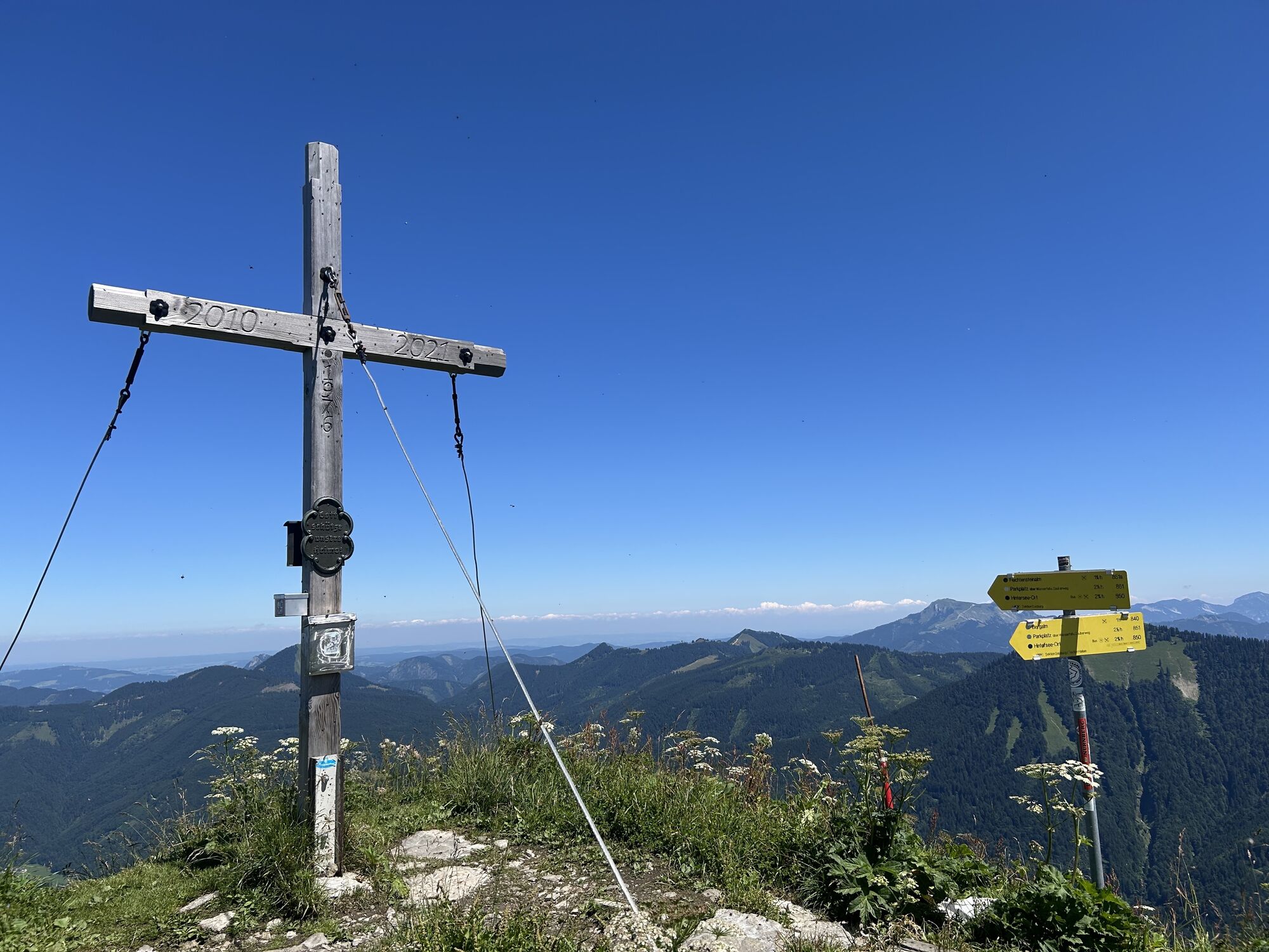
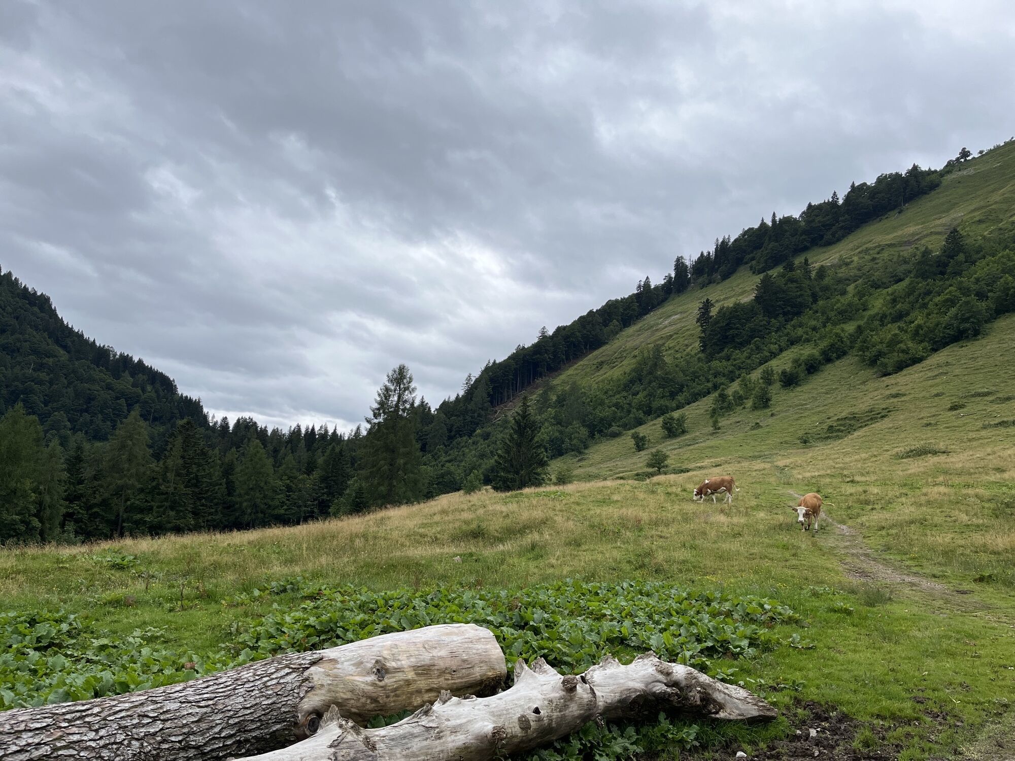
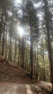
The somewhat more demanding hike starts at the Satzstein parking lot in Hintersee. We first follow the marked Forest-Water-Magic Trail. After about 700m, this merges into path 55 (851A) towards the Feichtenstein Alm. After another 600m, we reach the Untertiefenbach Alm. The path now turns left into the forest. From here, it goes moderately steep with some switchbacks through the forest. Upon reaching the Alm, we continue right on path 55. We pass the managed Stegleitn hut. After the Alm, we stay on the left path, which leads us over a mountain ridge directly to the summit of Regenspitz. At the summit, we follow the descent to the right towards the Bergalm (840). The Bergalm lies directly at the saddle between Bergköpfl and Regenspitz. For the return from the Bergalm, we take path 851. Up to the Tiefenbach Alms, we first go through the Alm area and later mostly on a well-developed forest road in the woods. We follow this back to the starting point.
Tak
Hiking boots, otherwise no special equipment necessary. Hiking poles are recommended.
Trail surface
Forest roads and paths
Leash requirement for dogs
There is an ordinance in effect throughout the entire municipality of Hintersee regulating the leash requirement for dogs. This applies to all hiking trails as well.
Arrival via the A1 West Motorway - Thalgau exit
Follow the state road towards Hof near Salzburg. At the first roundabout, take the second exit onto the Wolfgangsee federal road (B 158) and follow this to the second roundabout. Here, take the first exit and follow the Hintersee state road to the town center. Turn right before the church and continue to the Satzstein parking lot.
By bus
Hintersee is accessible from Salzburg by public lines of the Salzburg Transport Association.
Salzburg Transport Association: lines 150, 155
By train
Information about train connections can be found at www.oebb.at or www.bahn.de
By plane
Salzburg Airport W.A. Mozart is located in the immediate vicinity of the city of Salzburg. Bus lines 2 or 27 take you to the main train station where you can change to bus no. 150.
Paid parking lot at Satzstein in Hintersee
Kamery internetowe z trasy
Aktywności na trasie

Hintersee, Salzburg/Österreich
05.06.2026 – Wędrówka
Sankt Koloman, Salzburg/Österreich
05.06.2026 – Wędrówka
Hintersee, Salzburg/Österreich
29.05.2026 – Wycieczki górskie
Hintersee, Salzburg/Österreich
17.05.2026 – Wycieczki górskie
Hintersee, Feichtensteinalm
08.02.2026 – Wycieczki górskieHintersee, Salzburg/Österreich
11.10.2025 – BieganieHintersee, Salzburg/Österreich
03.09.2025 – WędrówkaHintersee, Salzburg/Österreich
06.08.2025 – Wędrówka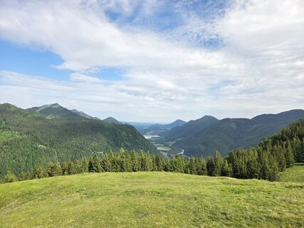
Hintersee, Salzburg/Österreich
01.06.2025 – Wędrówka
Popularne wycieczki w okolicy
- 4,7
Schwarzer Berg / Golling
średniWędrówka 2,54 km - 4,8
Fuschl: Ruine Wartenfels - Schober - Frauenkopf
średniWędrówka 7,62 km - 4,2
Fuschlseewanderung
światłoWędrówka 11 km - 4,1
Pillstein Panorama Rundweg
światłoWędrówka 3,40 km - 4,9
Pleasure hike over the Falkenstein
średniWędrówka 9,81 km - 4,5
The Plombergstein: Adventure and summit panorama
światłoWędrówka 4,12 km - 4,9
Schwarzeneckalm-Bleckwand
światłoWędrówka 5,94 km - 4,8
Schober -Aussichtsplattform mit Seensicht
ciężkiWędrówka 2,65 km - 4,8
Gennerhorn über Lämmerbach
średniWędrówka 10,2 km - 4,8
Schafberg ab Winkl nahe Sankt Gilgen, Österreich
średniTrailrunning 6,12 km
Wędrówki i tropienie


Nie przegap ofert i inspiracji na następne wakacje
Twój adres e-mail została dodana do listy mailingowej.