







Hike to Gruberalm in Hintersee
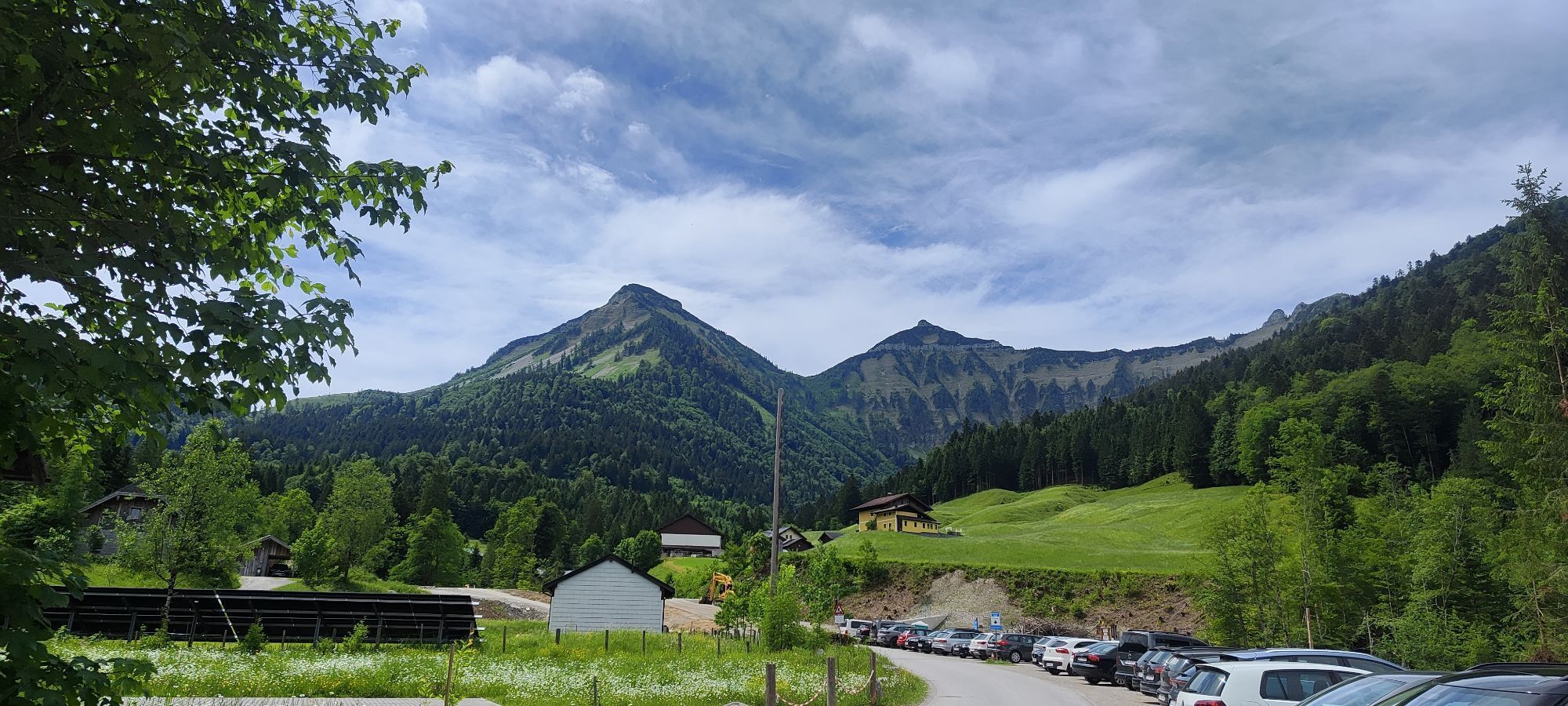
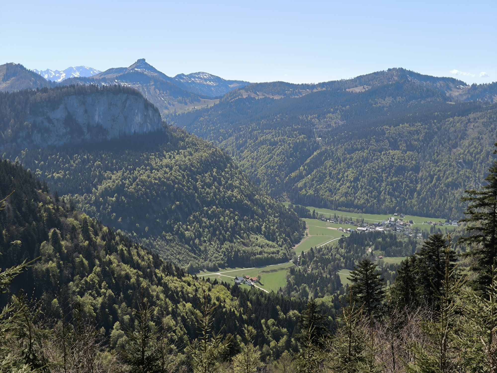
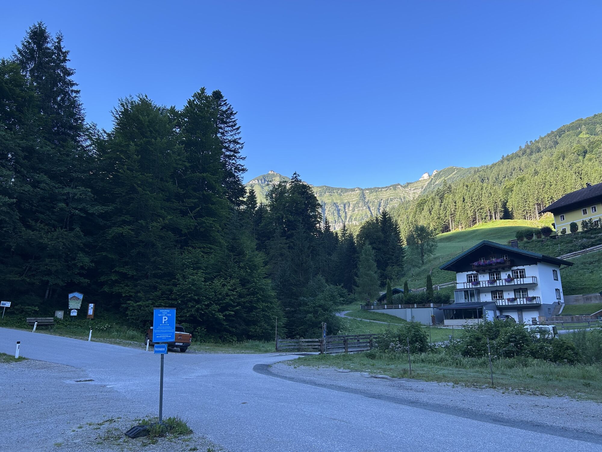
This light and wonderfully family-friendly route is also highly recommended for families with younger children. The ascent is quite easy and the extensive alpine meadow area at the destination awaits you...
This light and wonderfully family-friendly route is also highly recommended for families with younger children. The ascent is quite easy and the extensive alpine meadow area at the destination awaits you with diverse playground facilities and delicious cuisine. The view of Regenspitz, Gruberhorn, and Gennerhorn is really beautiful, so mom and dad can wonderfully relax at the alpine hut while the children are free to move and romp around.
Direct travel and details at: salzburg-erfahren.at

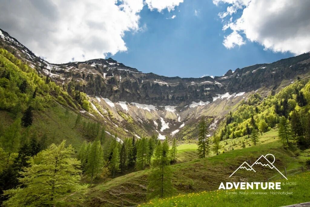
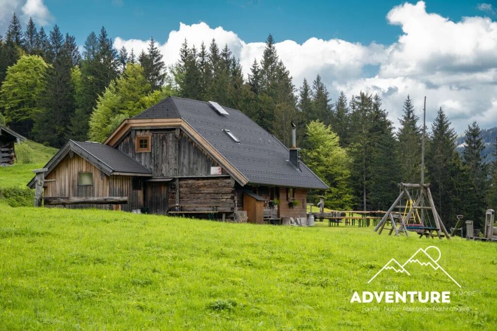
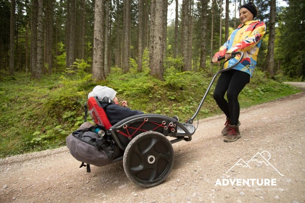
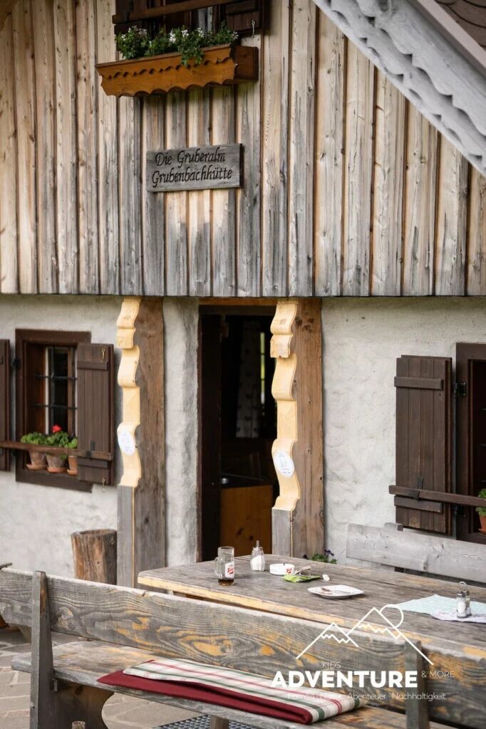

The path to Gruberalm is pushchair-accessible if you stay on the forest road in the upper section. 200 meters of elevation with a pushchair is sporty but doable, with an all-terrain pushchair definitely recommended.
Those without a pushchair who like rooty hiking paths should take the marked turnoff to the left into the forest from about halfway along the route.
Tak
Tak
Tak
From Salzburg main station (Südtiroler Platz), take bus 155 to the Faistenau Schule stop. There, transfer to bus 157 and continue to Hintersee Lämmerbach.
Timetable information and download: Online at www.salzburg-verkehr.at or on your smartphone via the free Salzburg Verkehr app for Android and iOS.
Direct travel and details at: salzburg-erfahren.at
Thomas Grah
5061 Elsbethen
@adventuremo.de
Photo credit: Thomas Grah
Be sure to try the farmer's doughnuts at the alpine hut
Plan enough time to linger!
 Uzyskaj wgląd
Zawsze na żywo z ponad 9 500 kamer internetowych. bergfex Jako użytkownik Pro, możesz teraz zobaczyć odpowiednie kamery internetowe dla wielu wycieczek w aplikacji wycieczki od. Pozwala to na bezpośredni podgląd aktualnych warunków.
Uzyskaj wgląd
Zawsze na żywo z ponad 9 500 kamer internetowych. bergfex Jako użytkownik Pro, możesz teraz zobaczyć odpowiednie kamery internetowe dla wielu wycieczek w aplikacji wycieczki od. Pozwala to na bezpośredni podgląd aktualnych warunków.
Popularne wycieczki w okolicy
-
4,7
Schwarzer Berg / Golling
średniWędrówka 2,54 km -
4,8
Fuschl: Ruine Wartenfels - Schober - Frauenkopf
średniWędrówka 7,62 km -
4,4
Fuschlseewanderung
światłoWędrówka 11 km -
4,2
Pillstein Panorama Rundweg
światłoWędrówka 3,40 km -
4,7
Pleasure hike over the Falkenstein
średniWędrówka 9,81 km -
4,9
From Rußbach over the Gamsfeld
ciężkiWędrówka 11,5 km -
4,6
The Plombergstein: Adventure and summit panorama
światłoWędrówka 4,12 km -
4,0
Bärenweg am Lidaun
światłoWędrówka 9,05 km -
4,9
Salzkammergut: Die Drachenwand
ciężkiVia ferrata 4,32 km -
4,9
Schwarzeneckalm-Bleckwand
światłoWędrówka 5,94 km
Wędrówki i tropienie


Nie przegap ofert i inspiracji na następne wakacje
Twój adres e-mail została dodana do listy mailingowej.





