







Summit conqueror Ahornstein
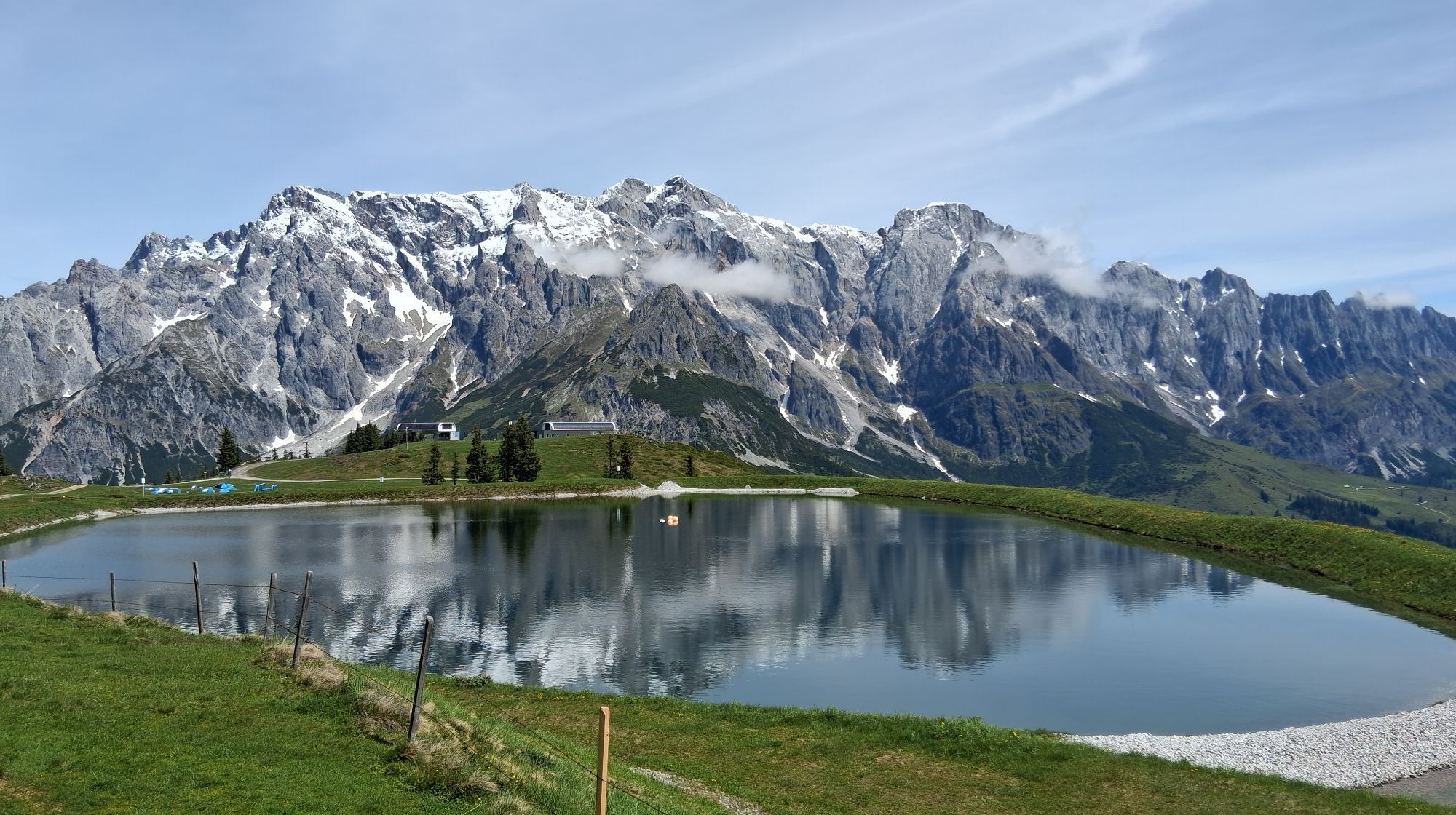
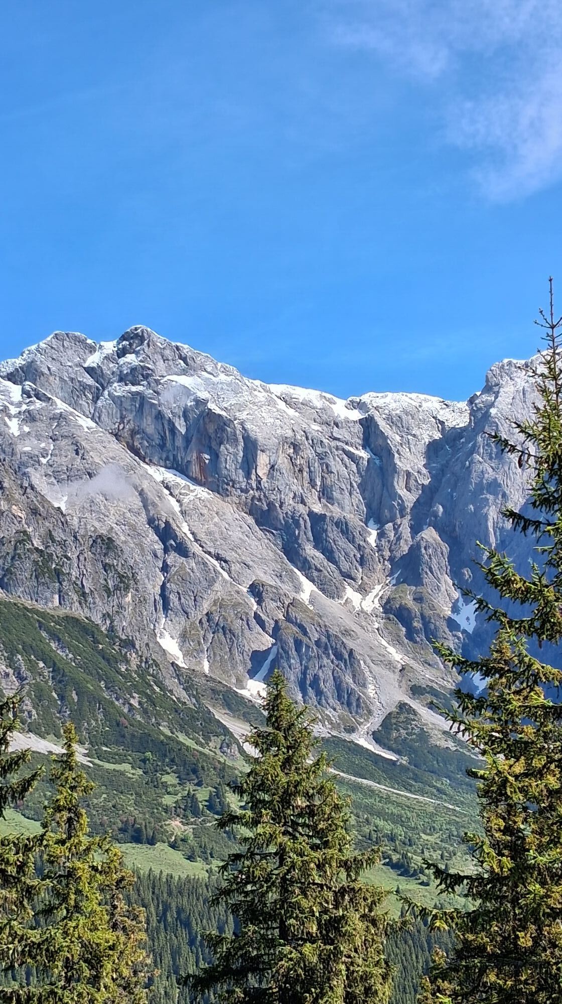
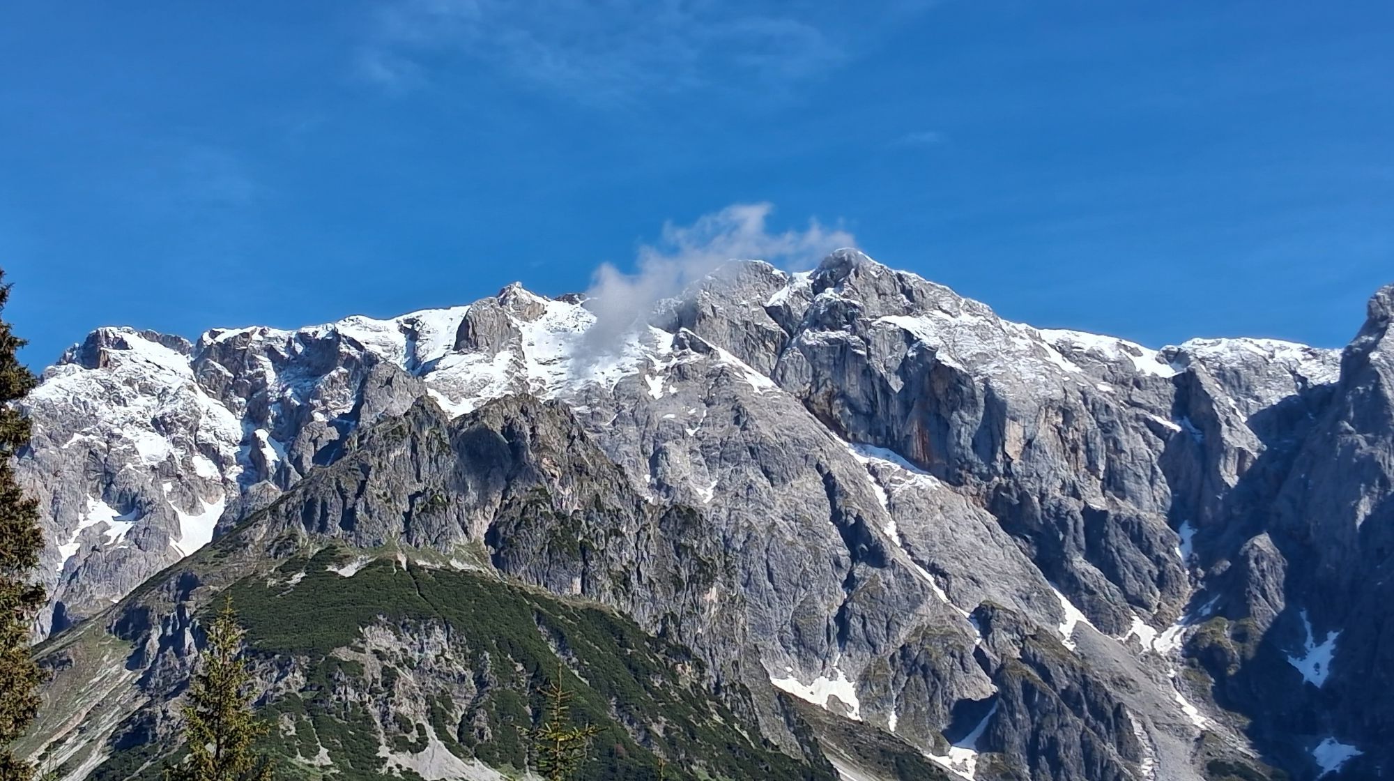
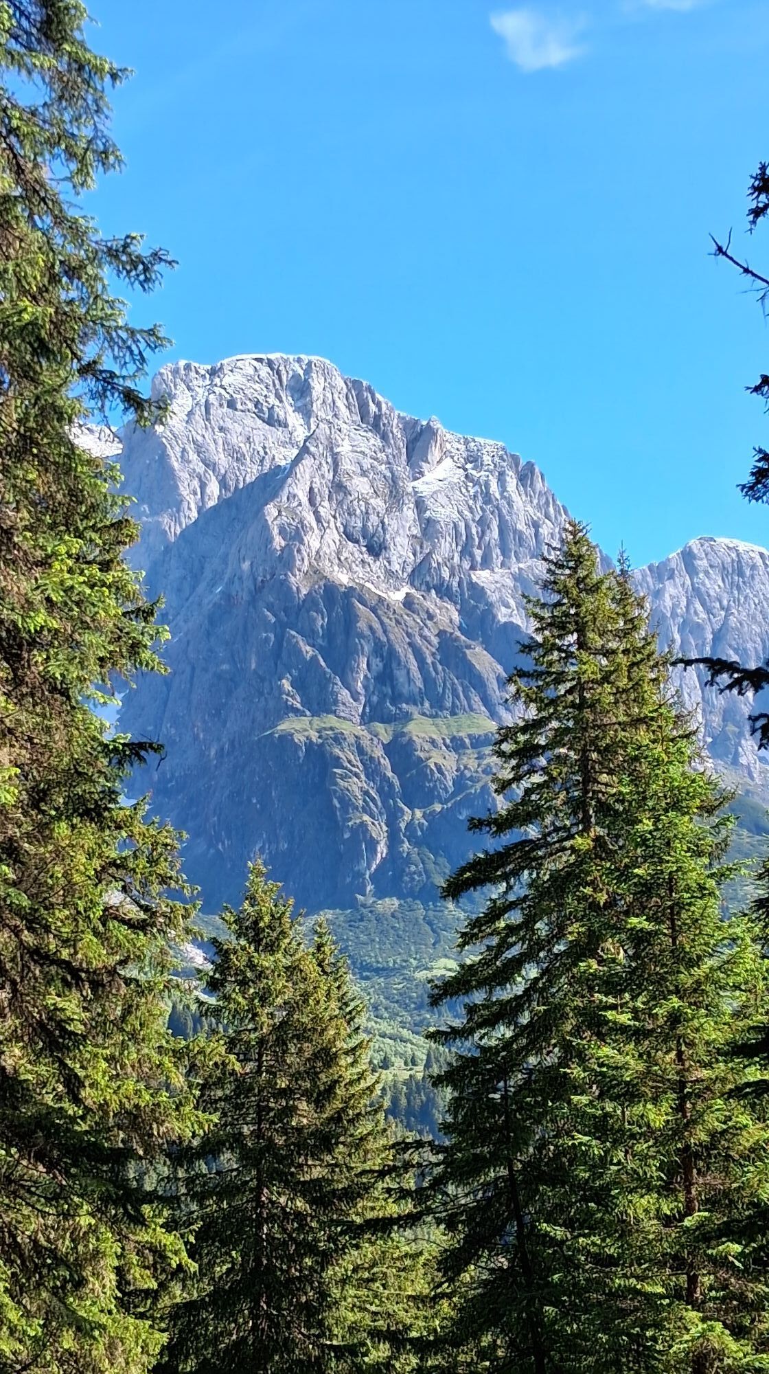
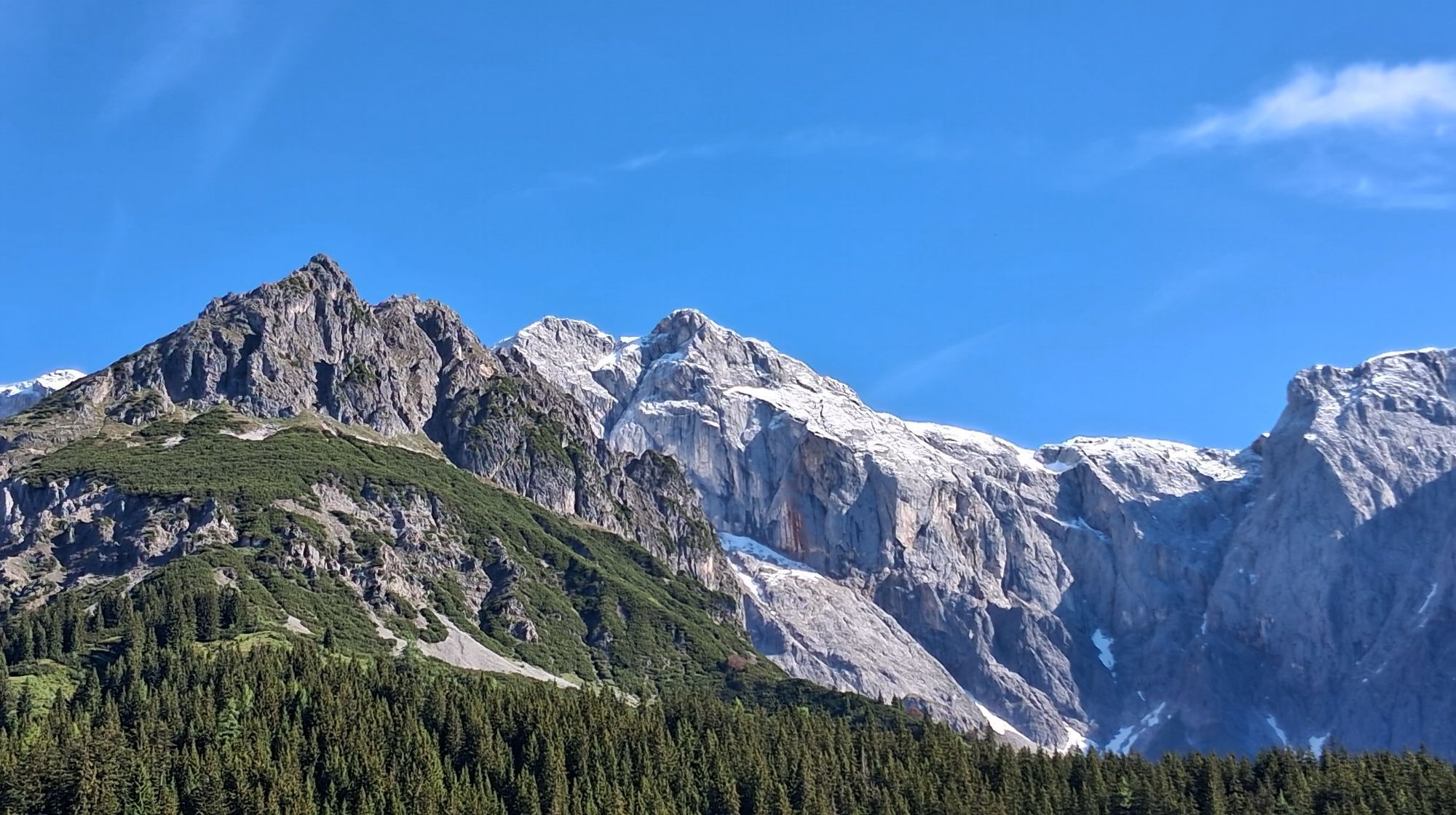
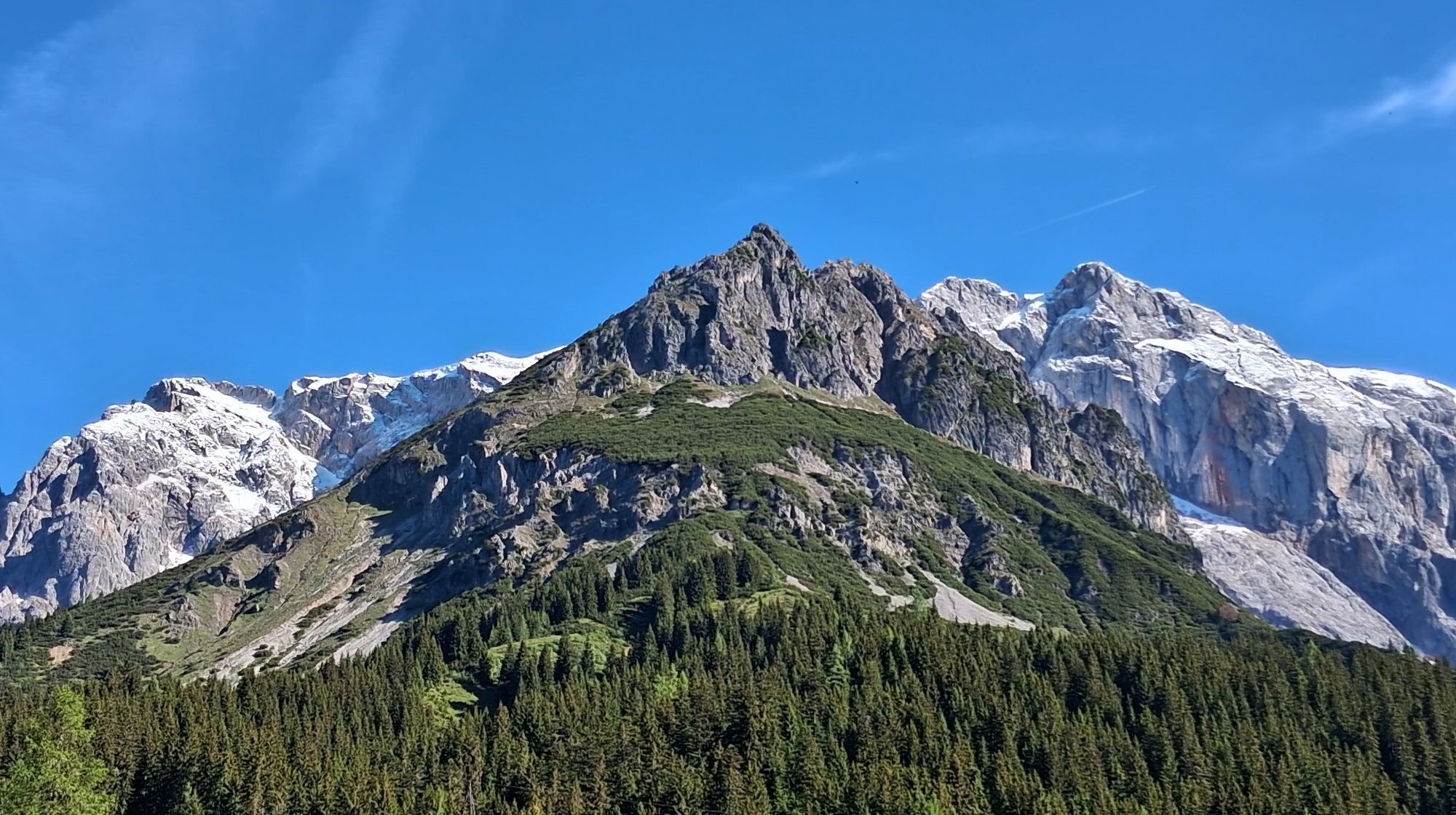
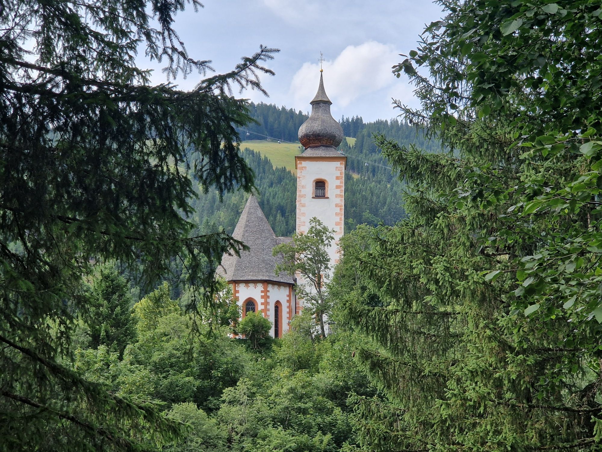
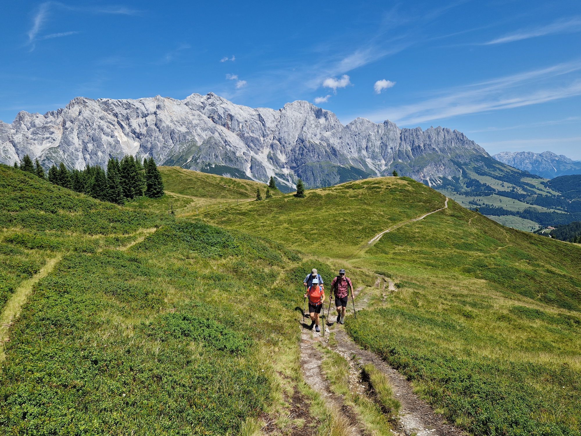
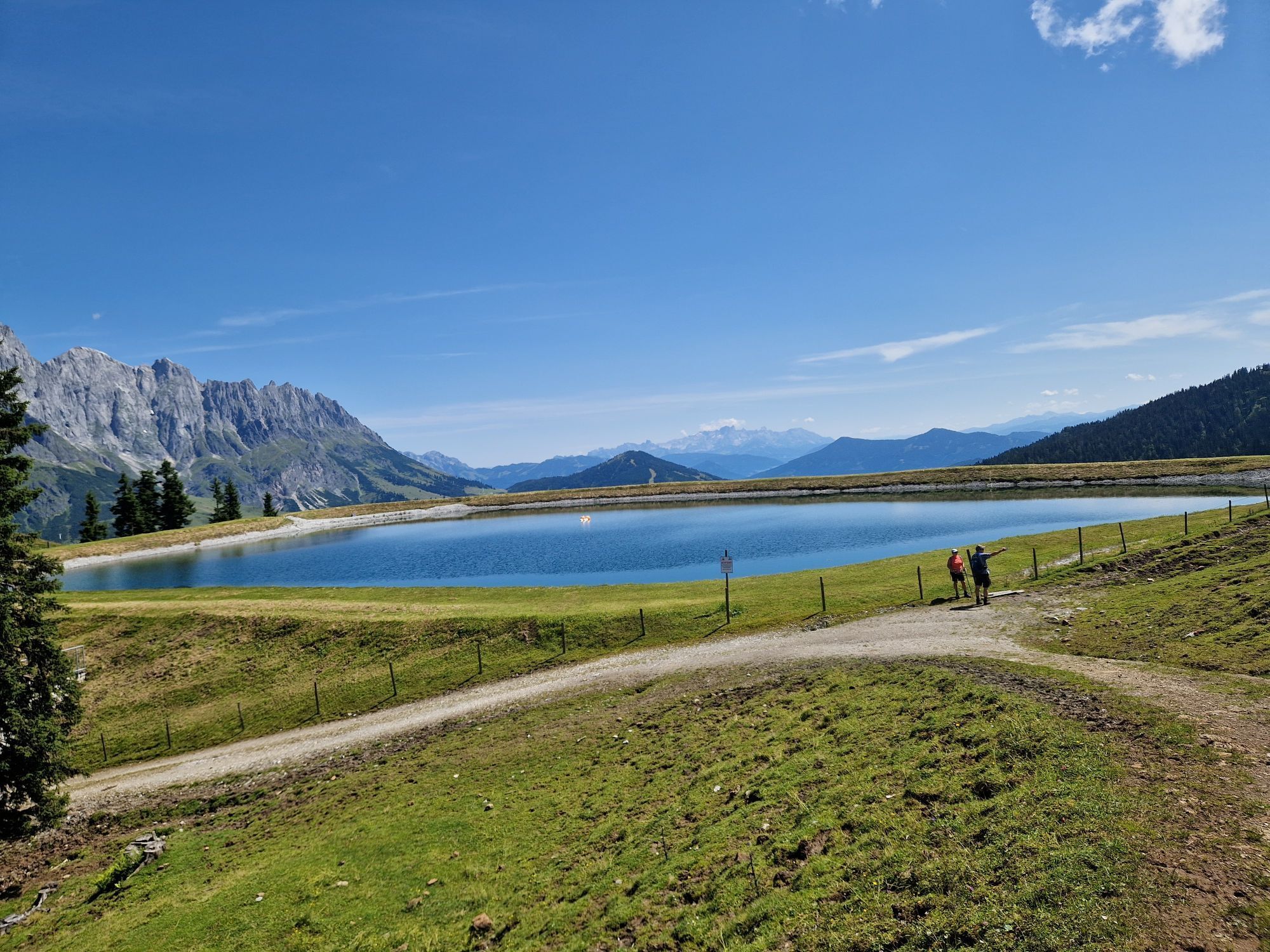
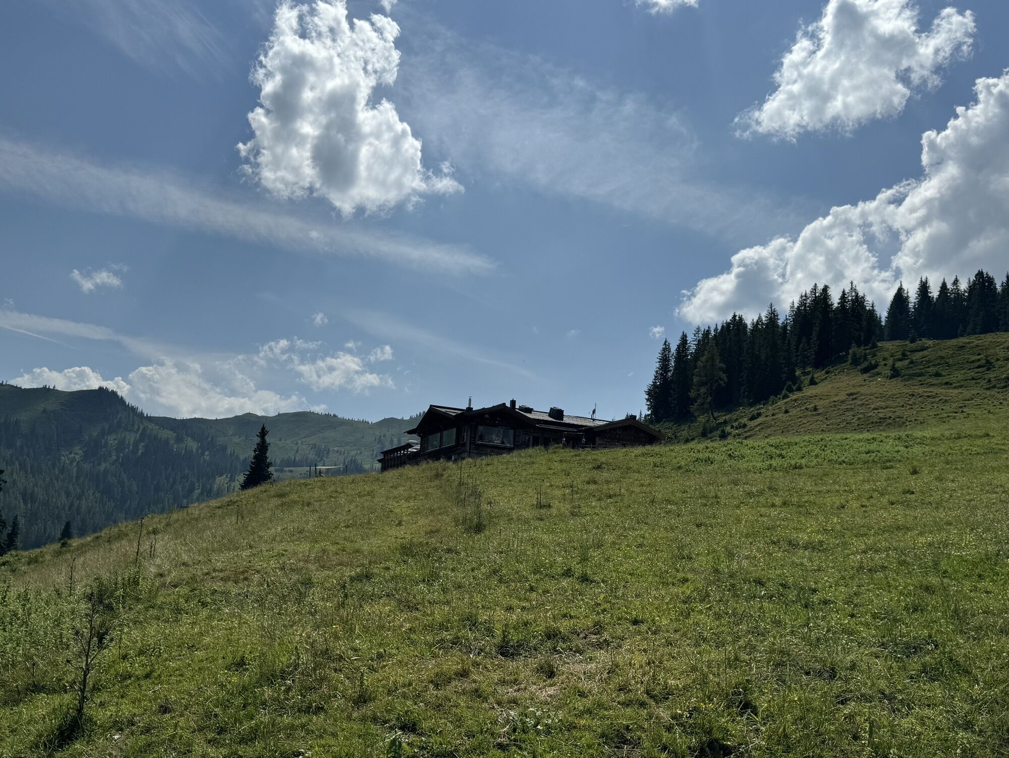
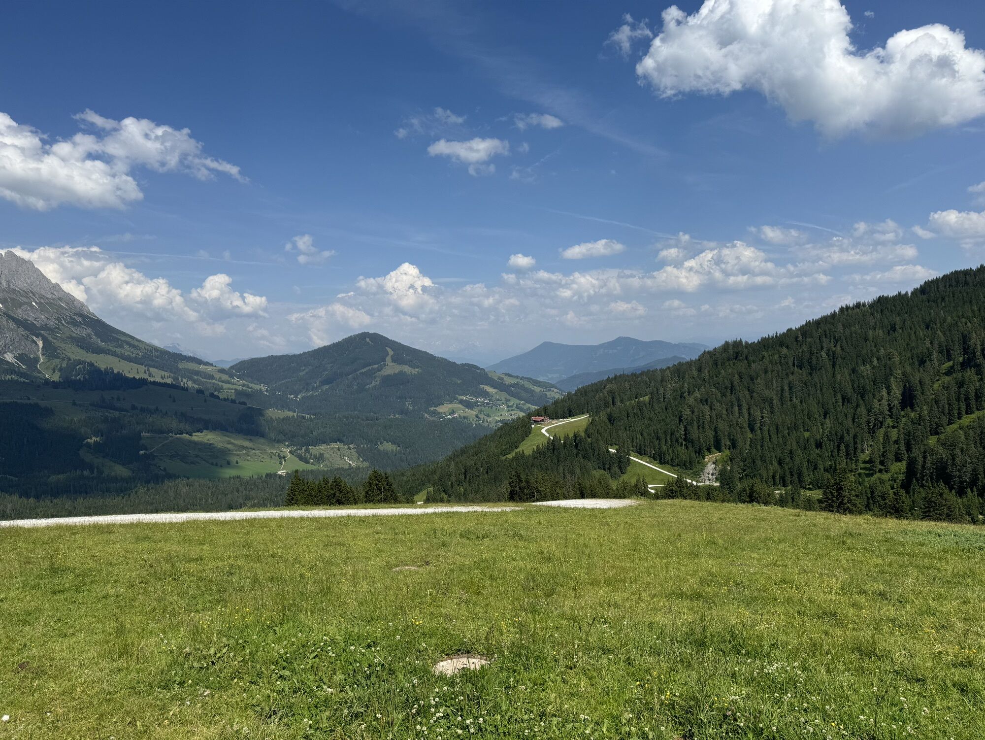
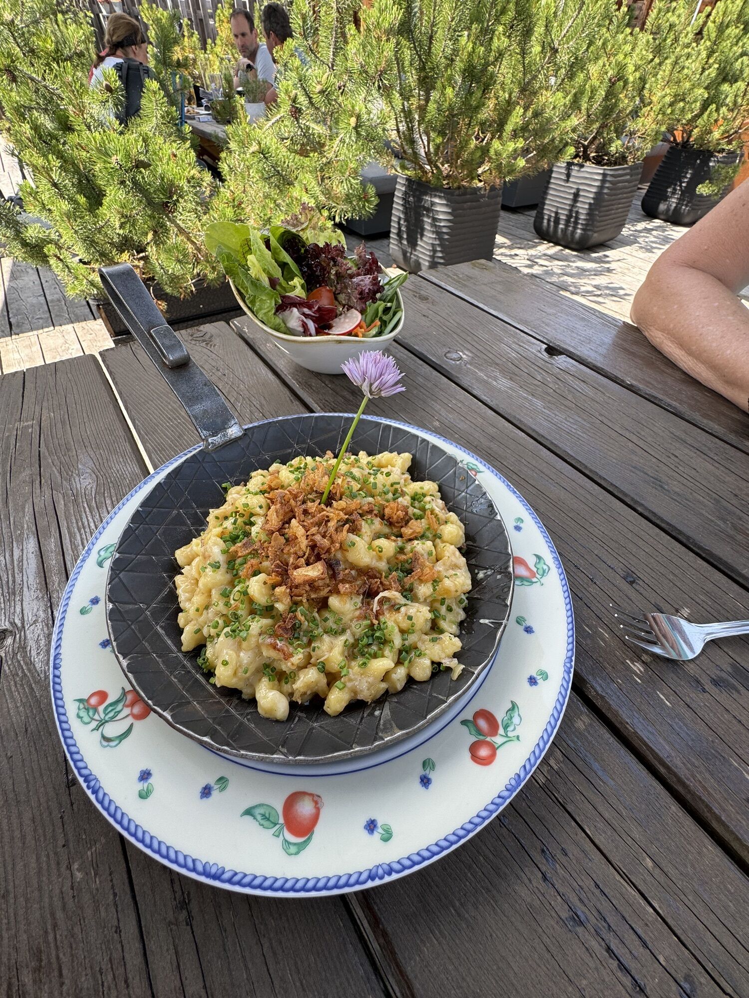
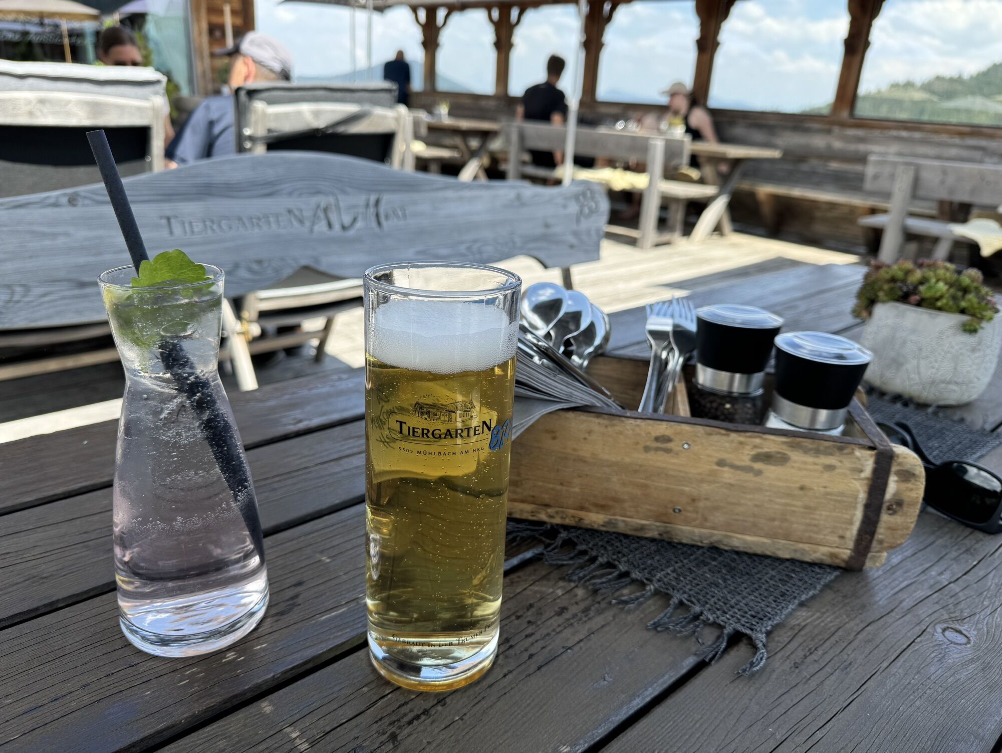
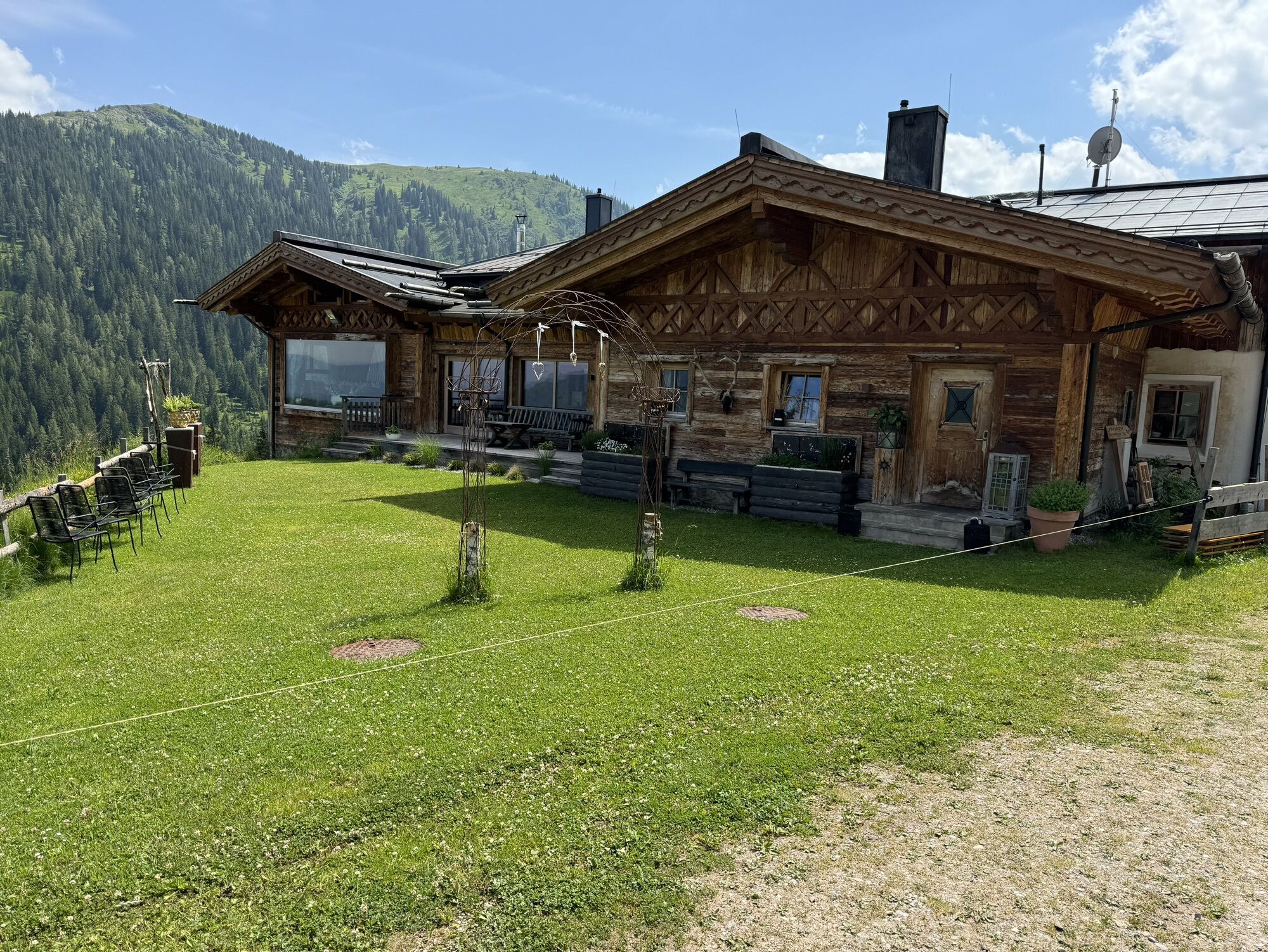
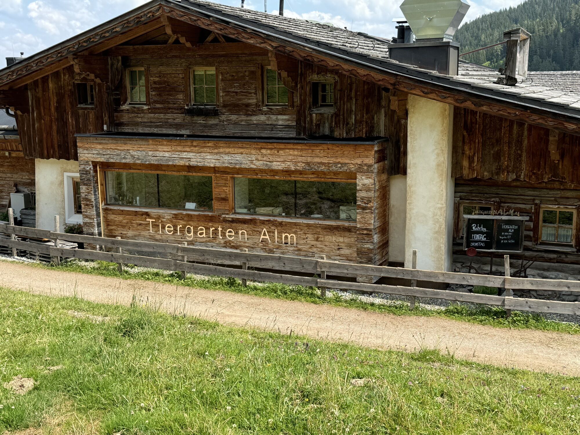
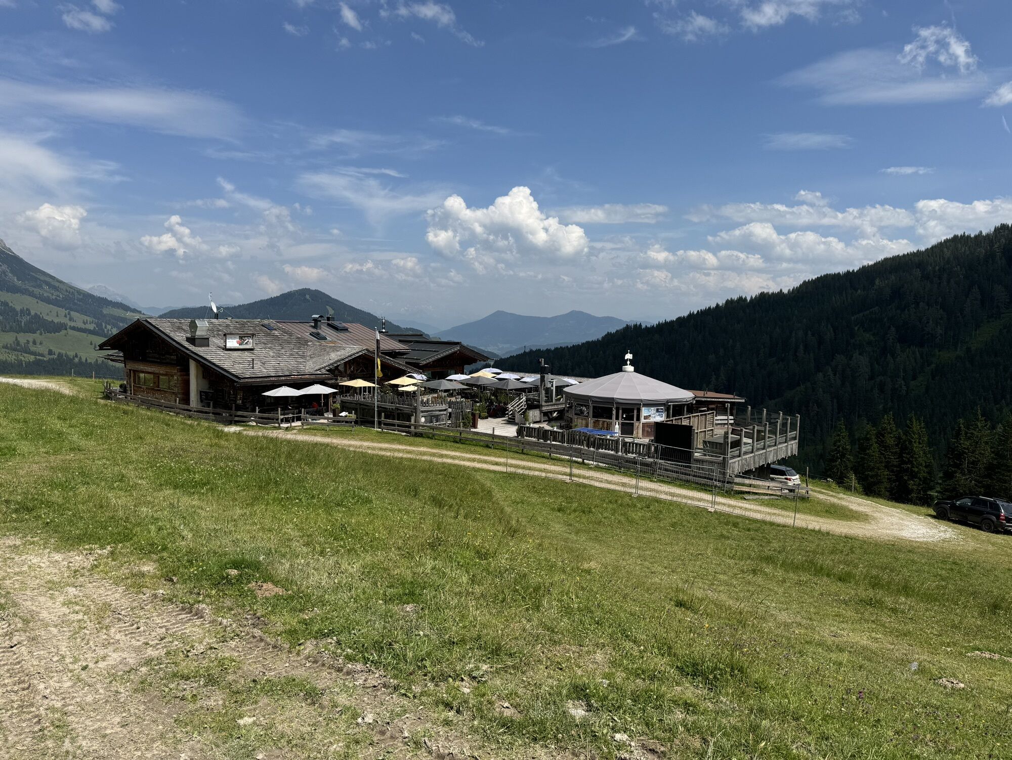
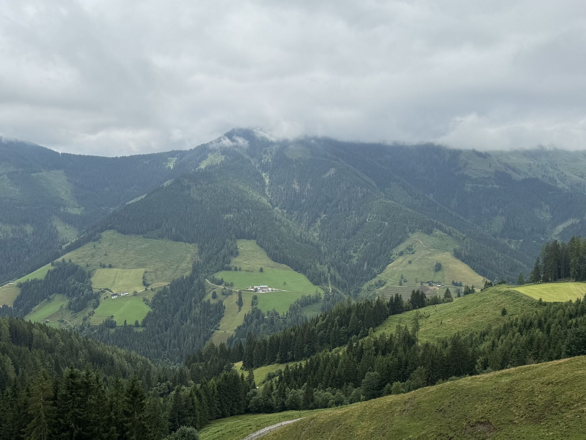
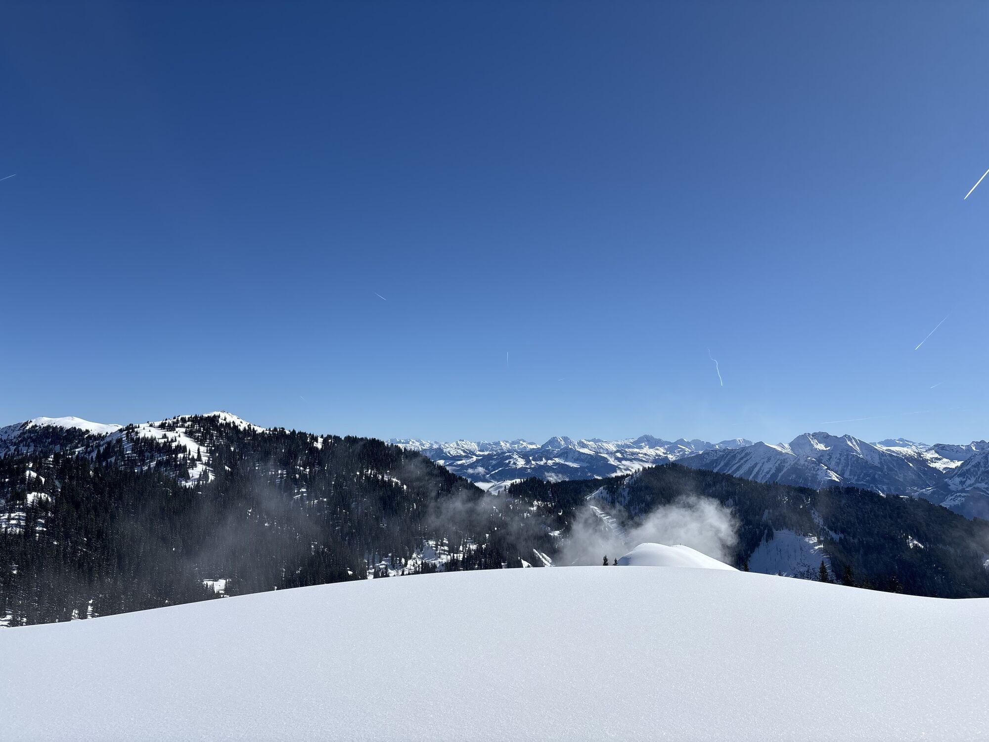
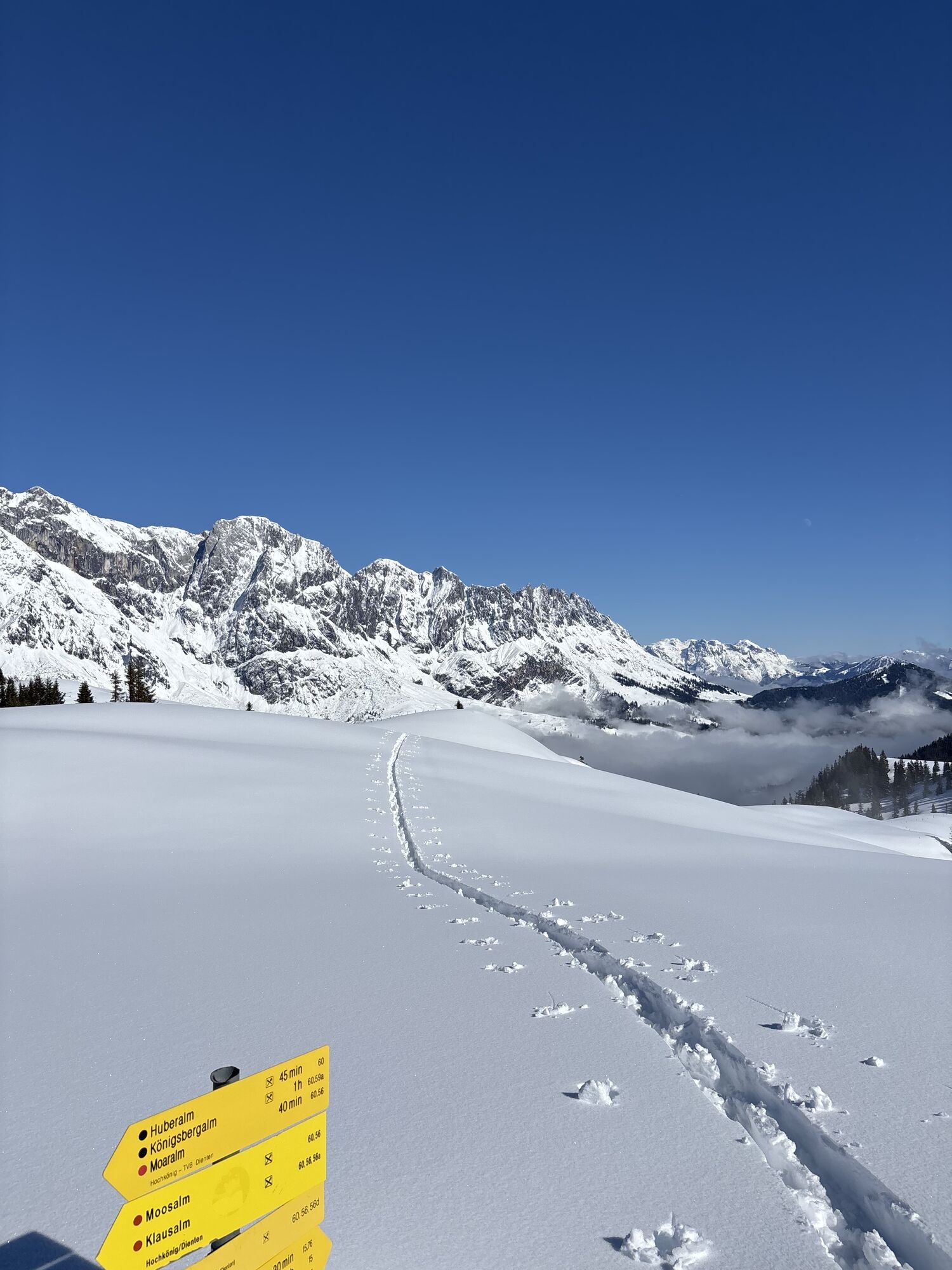
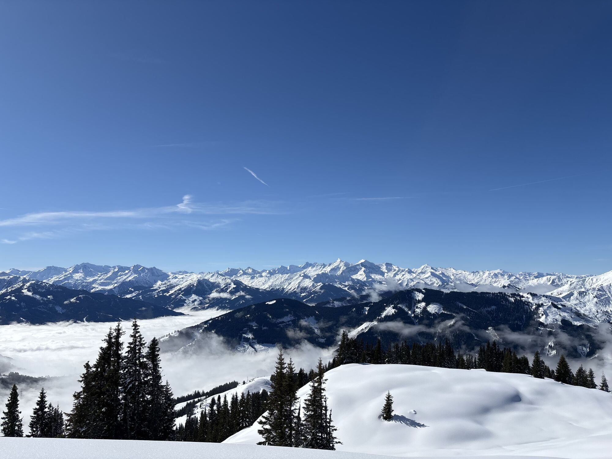
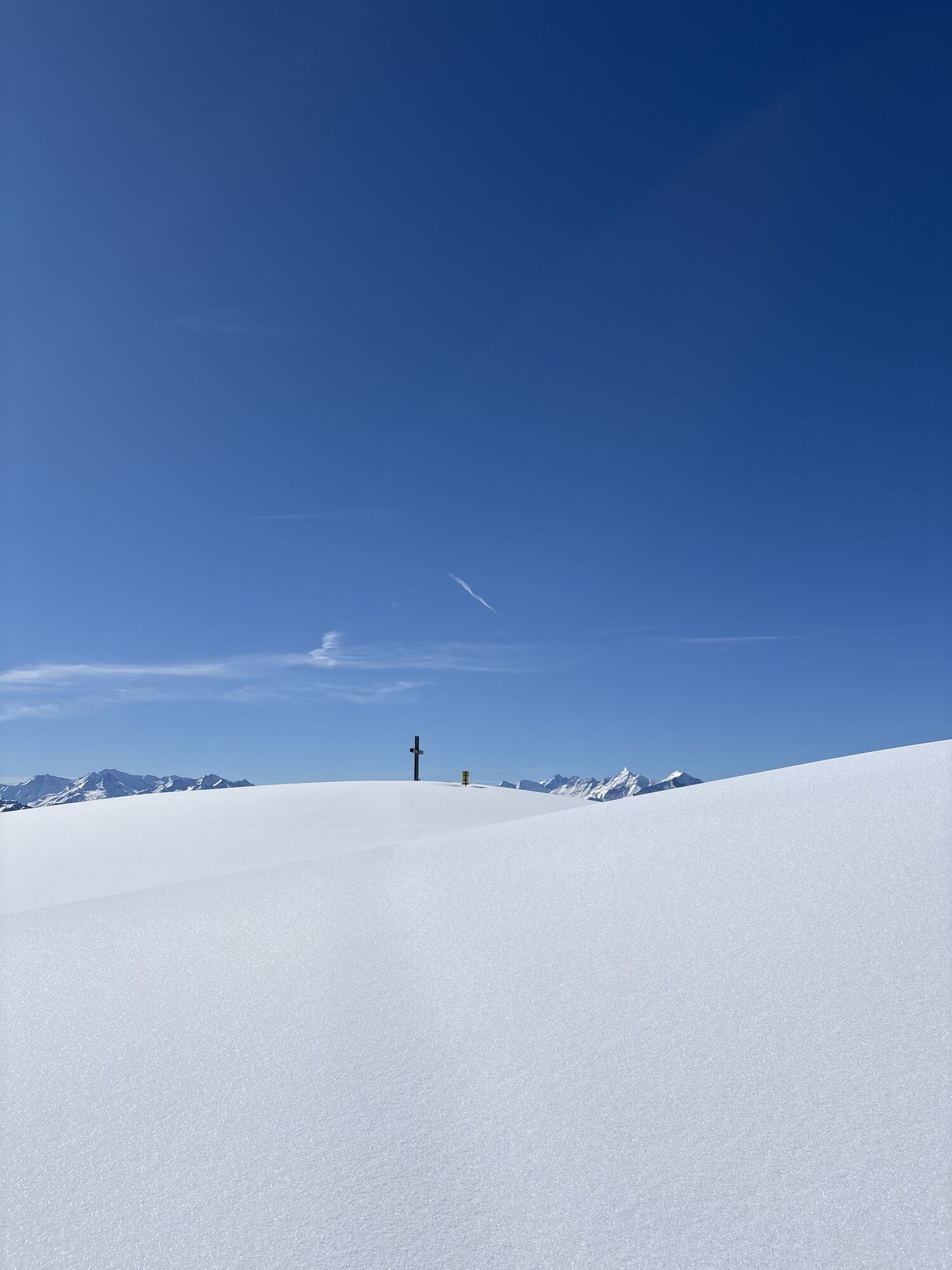
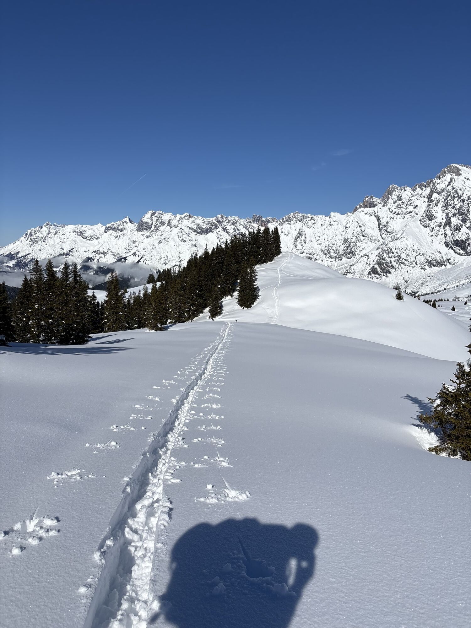
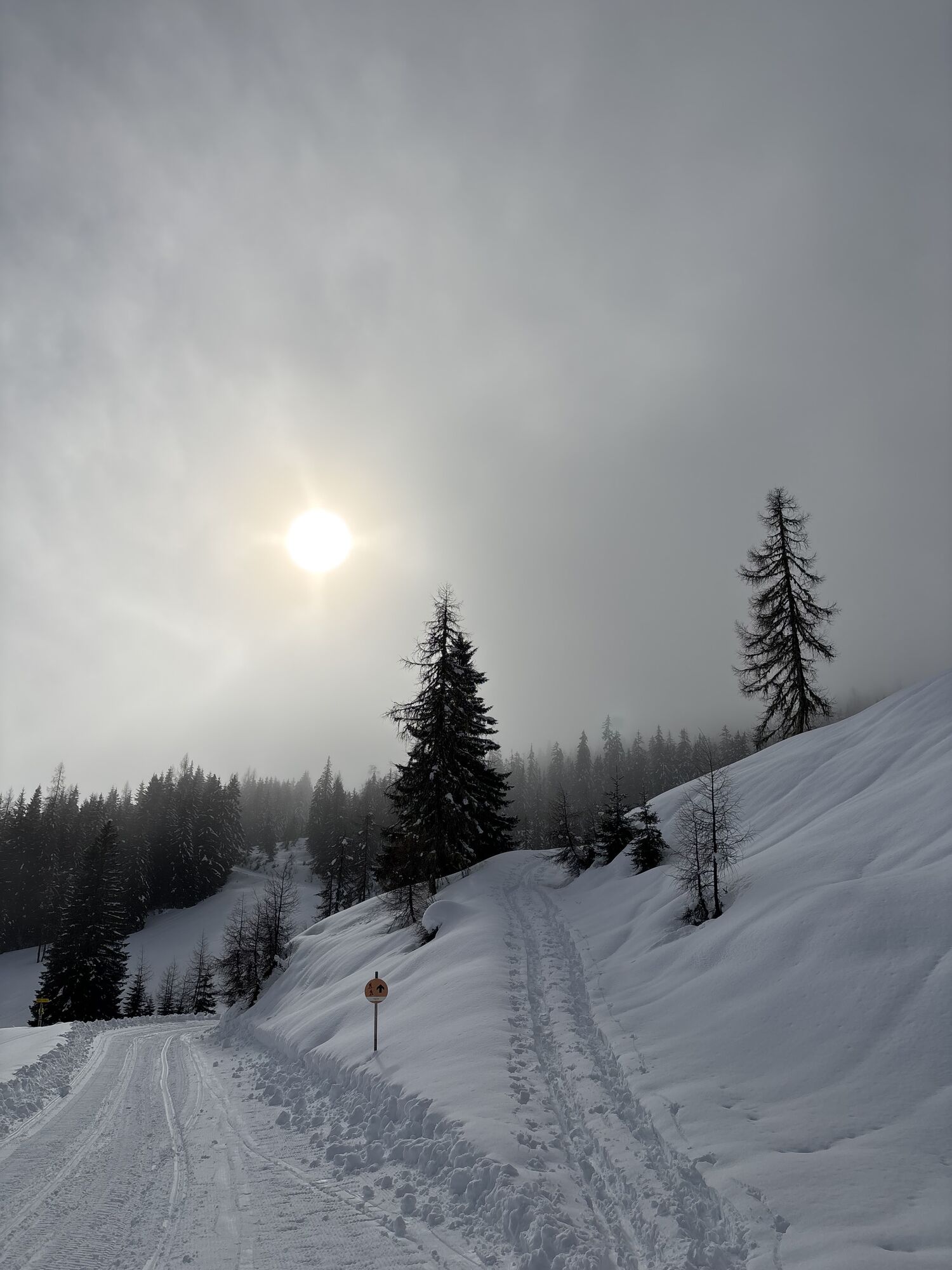
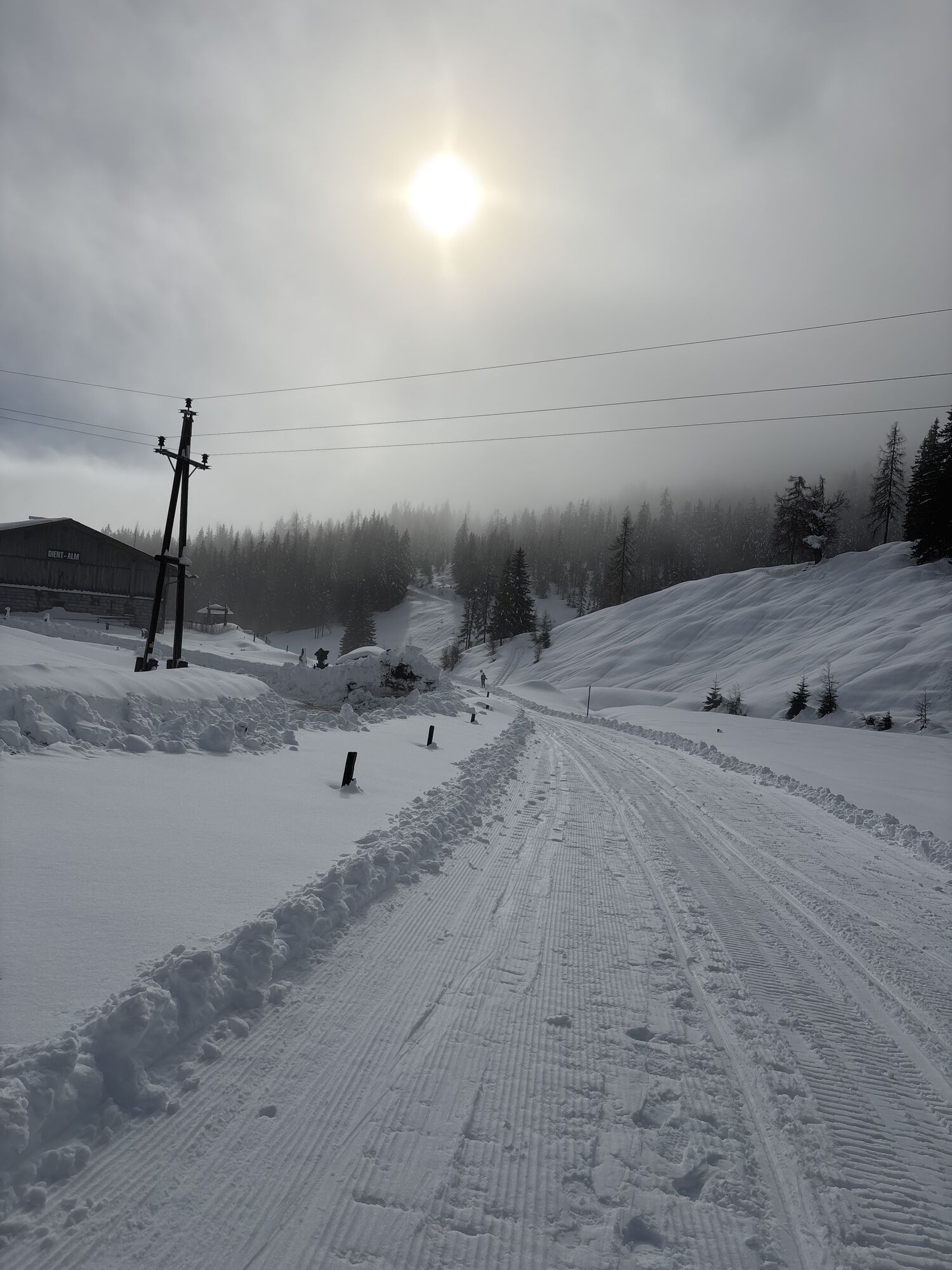
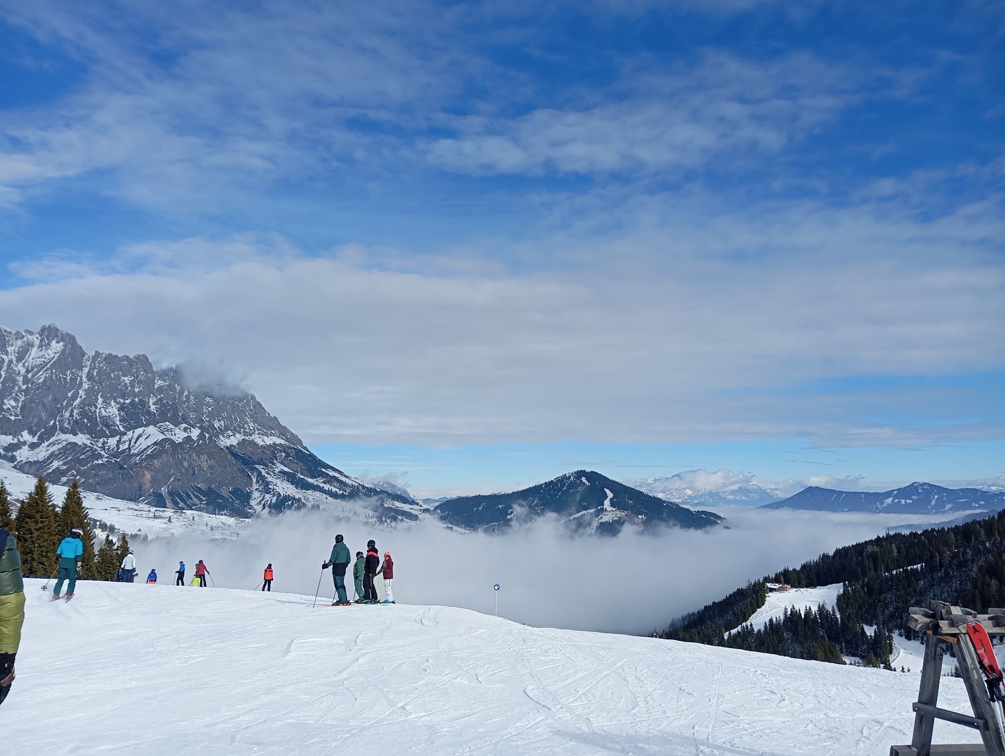
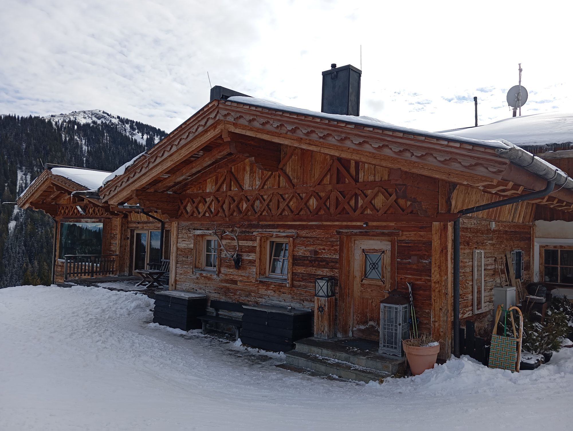
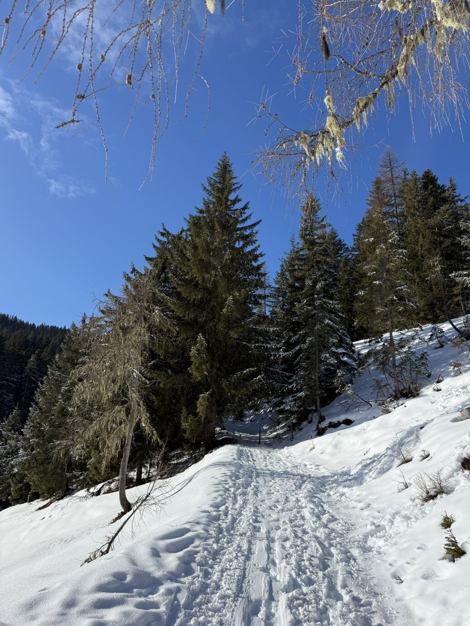
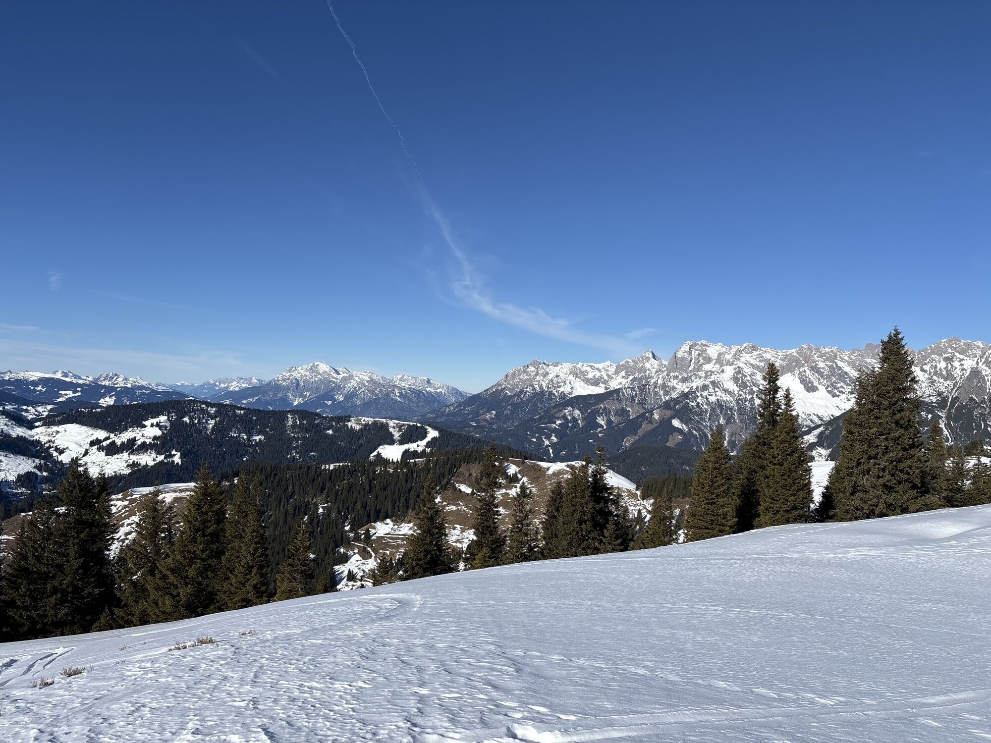
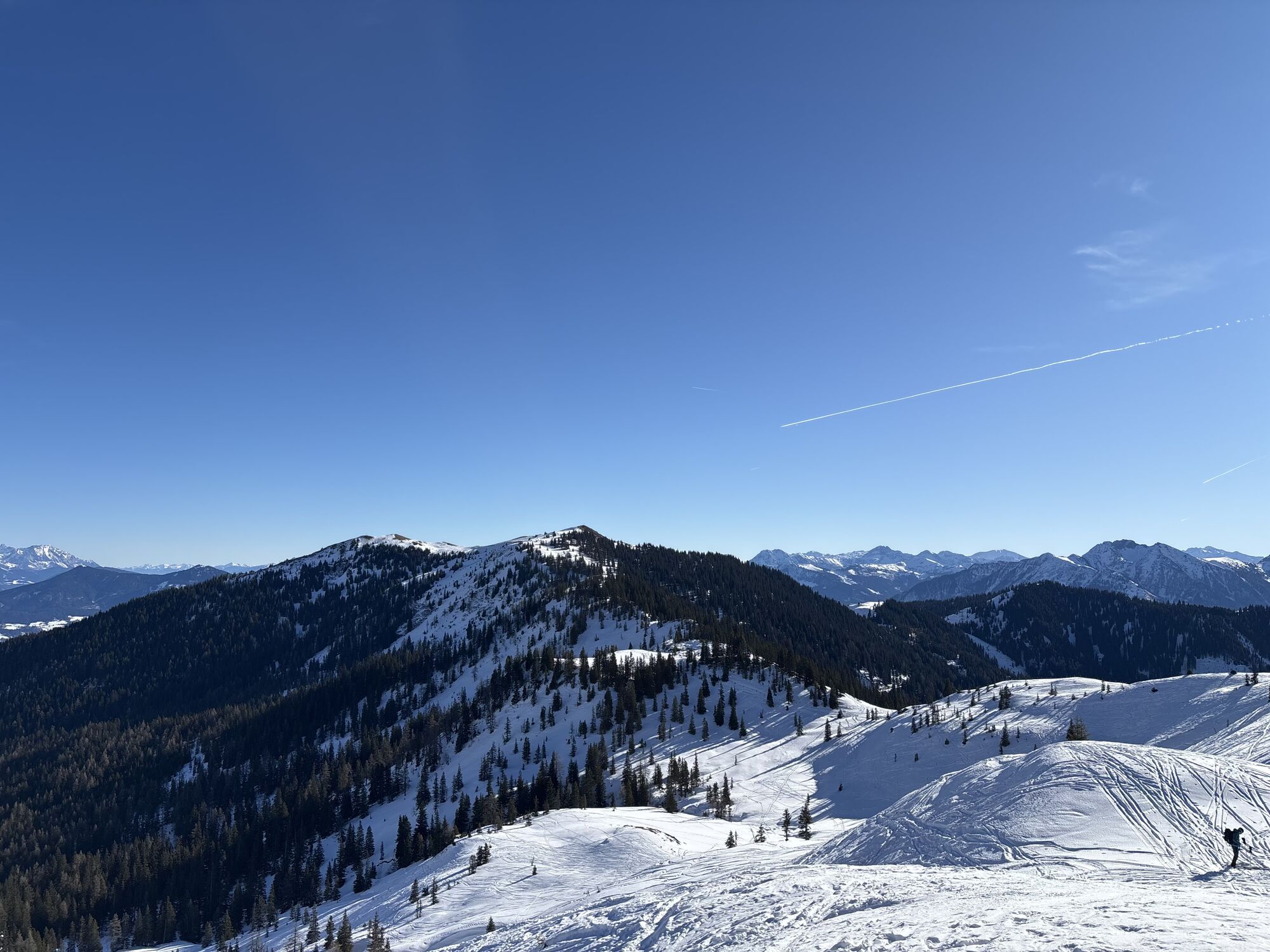
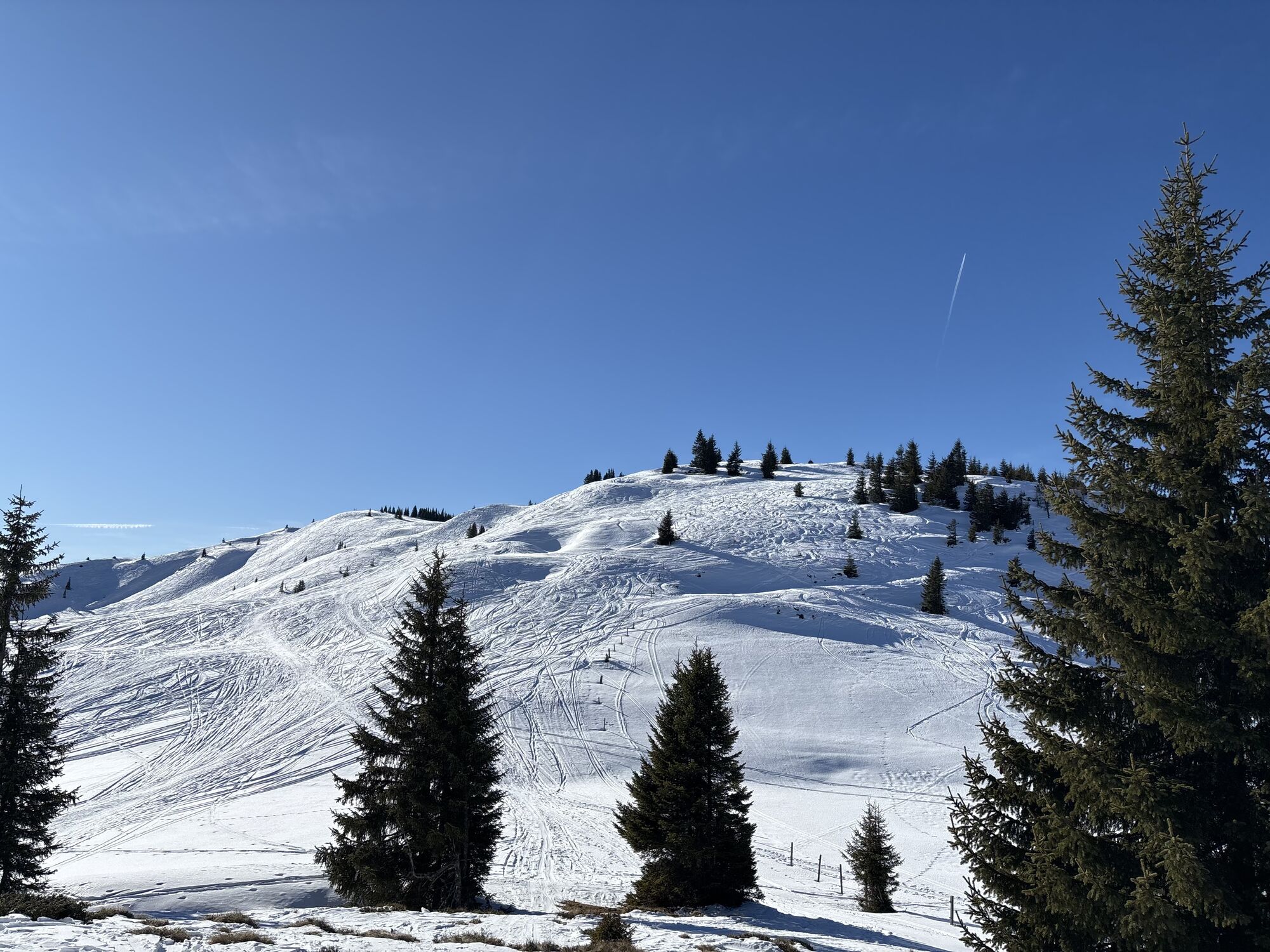
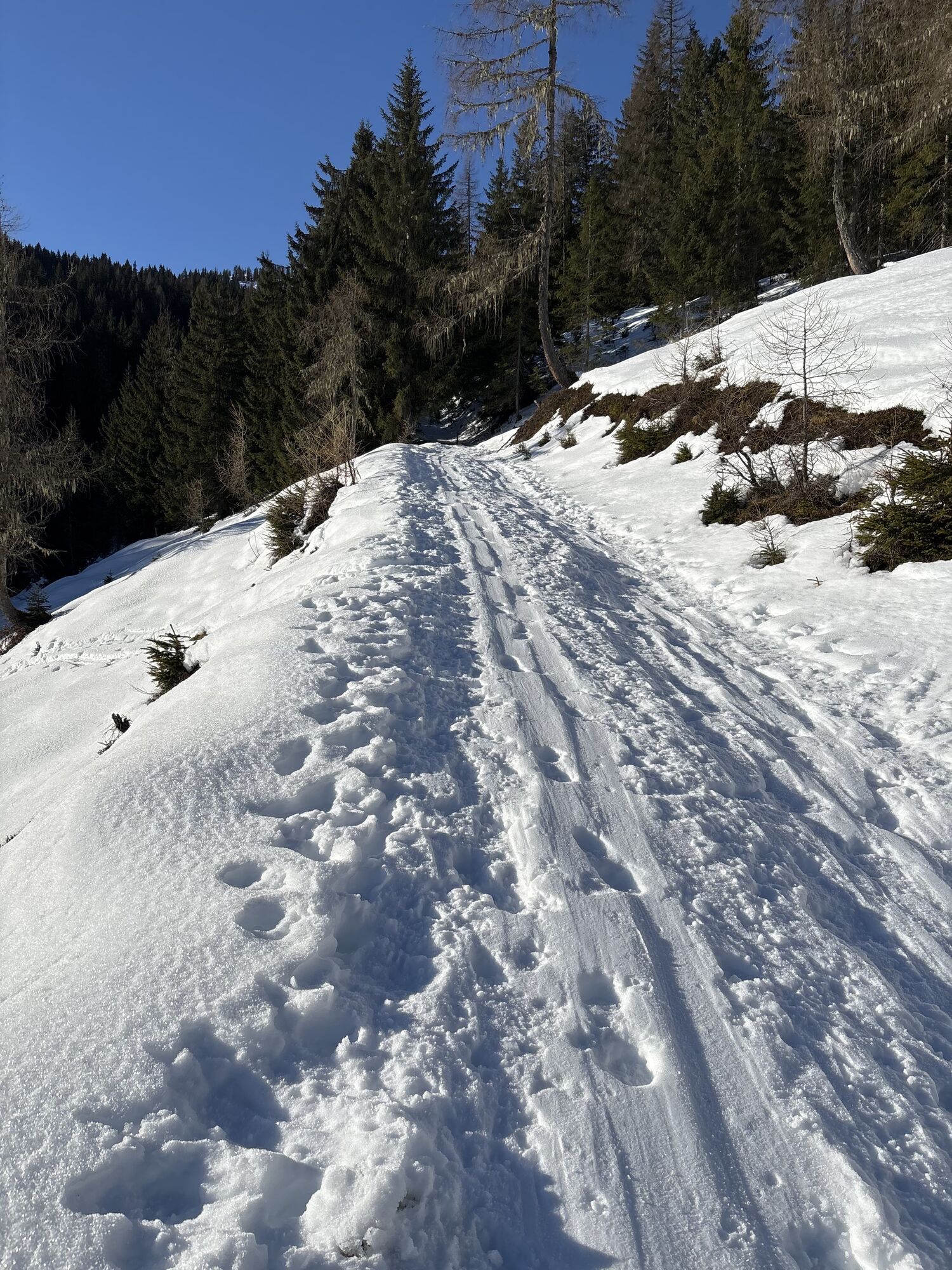
Take the hiking bus to Dientner Sattel, past the Dientalm on trail no. 75 to the Tiergartenalm and continue towards Dienten to Kollmannsegg. From there, a narrow path leads over gentle grassy hills to...

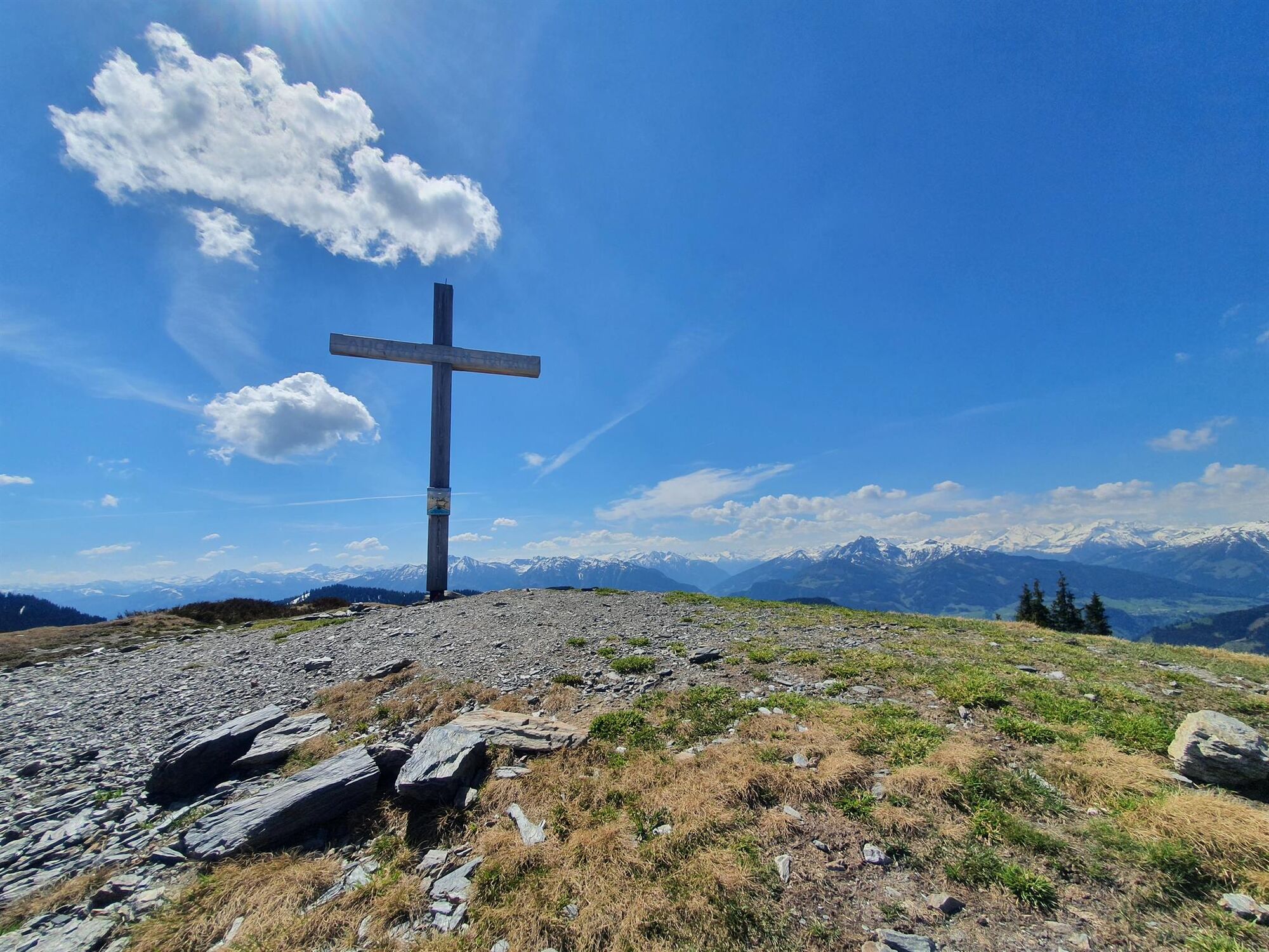
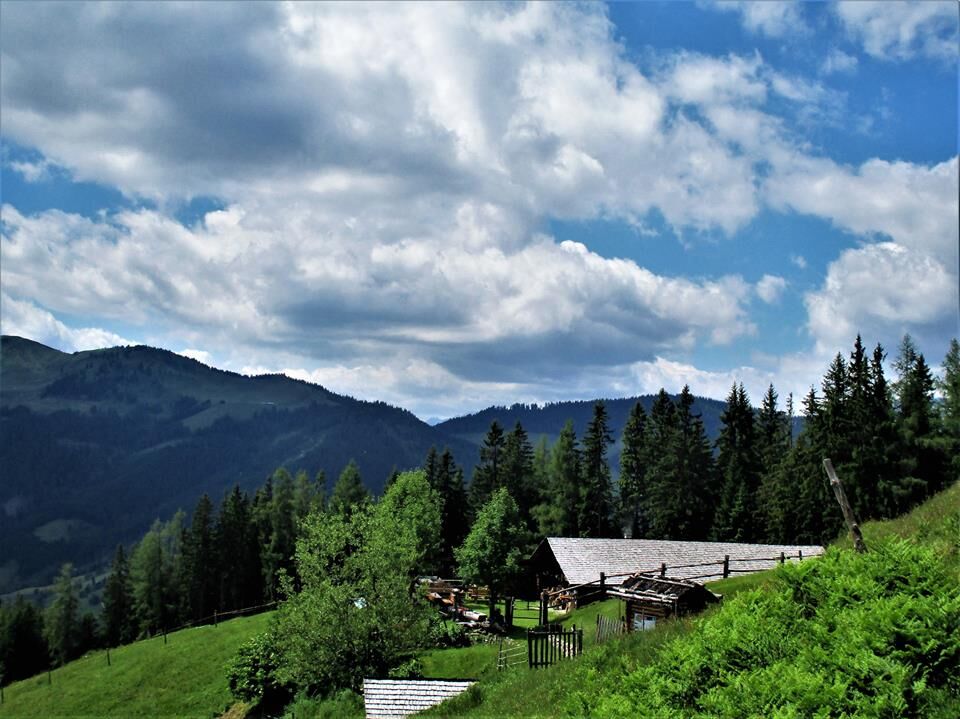
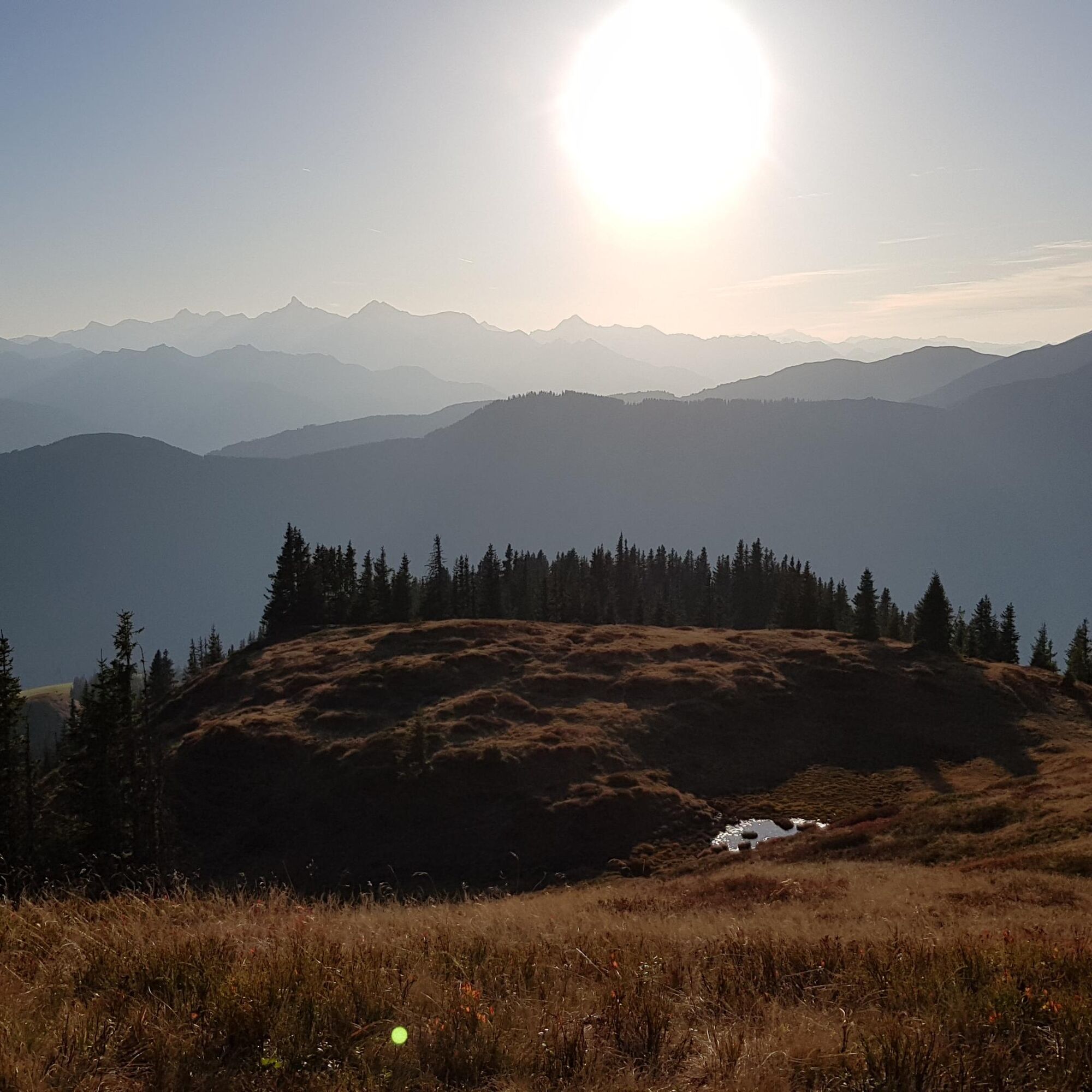

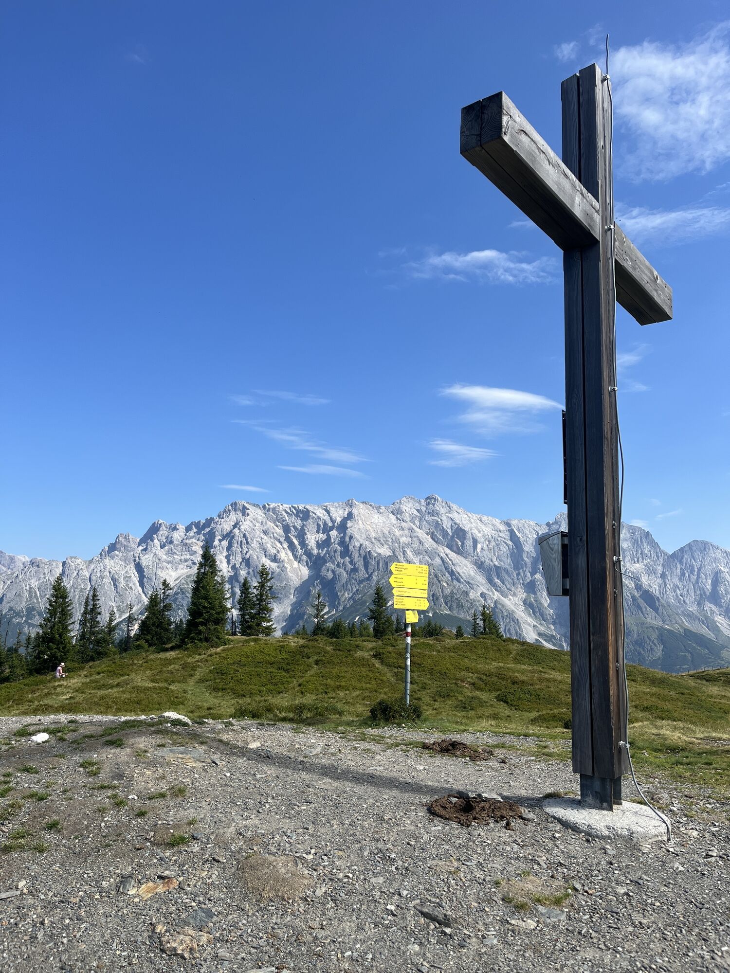
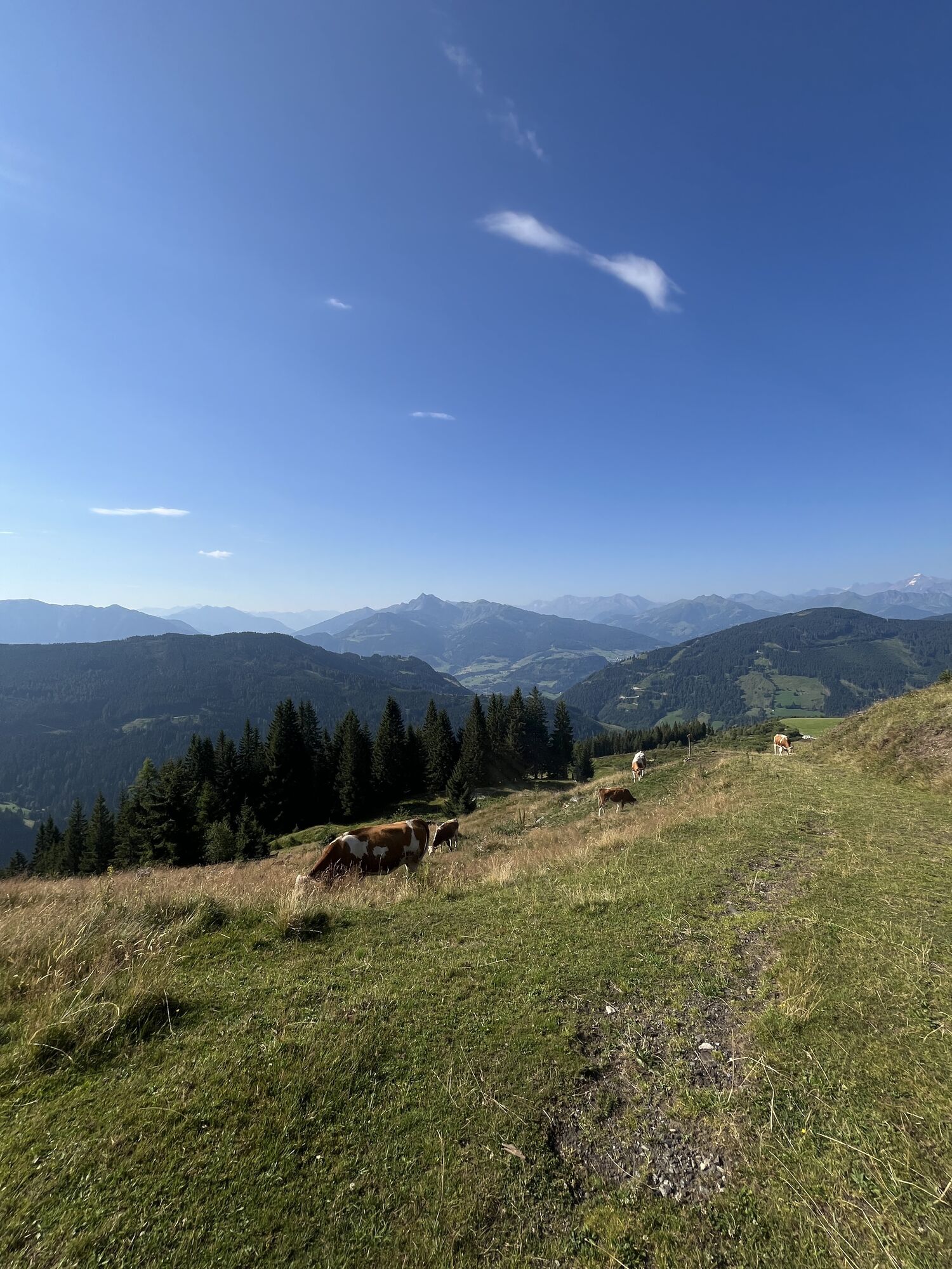
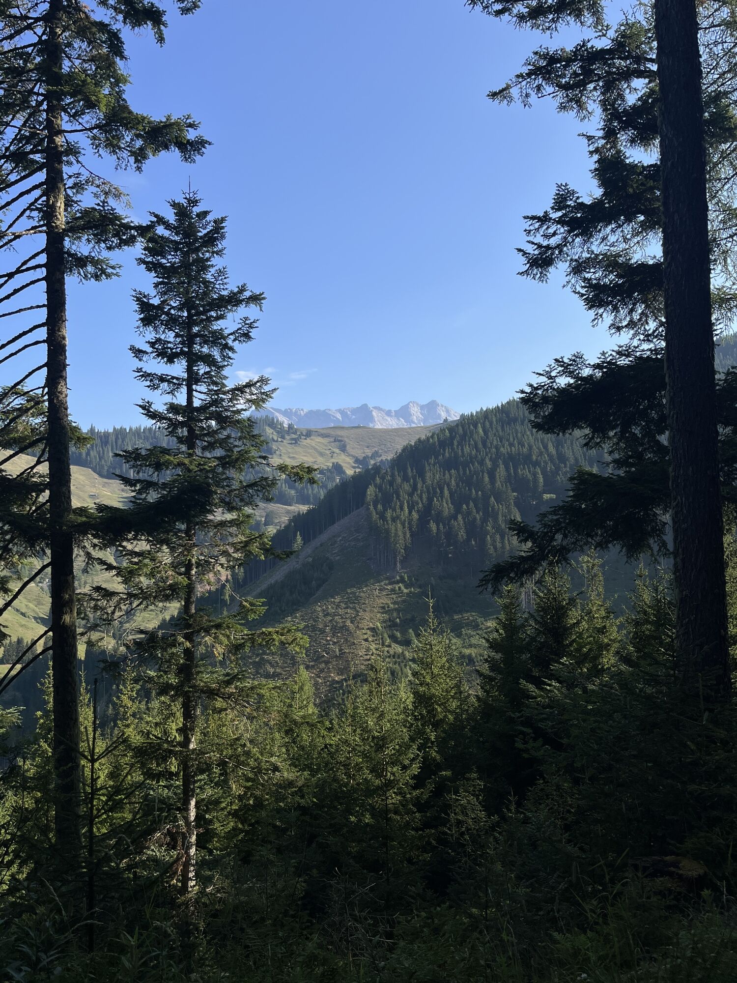
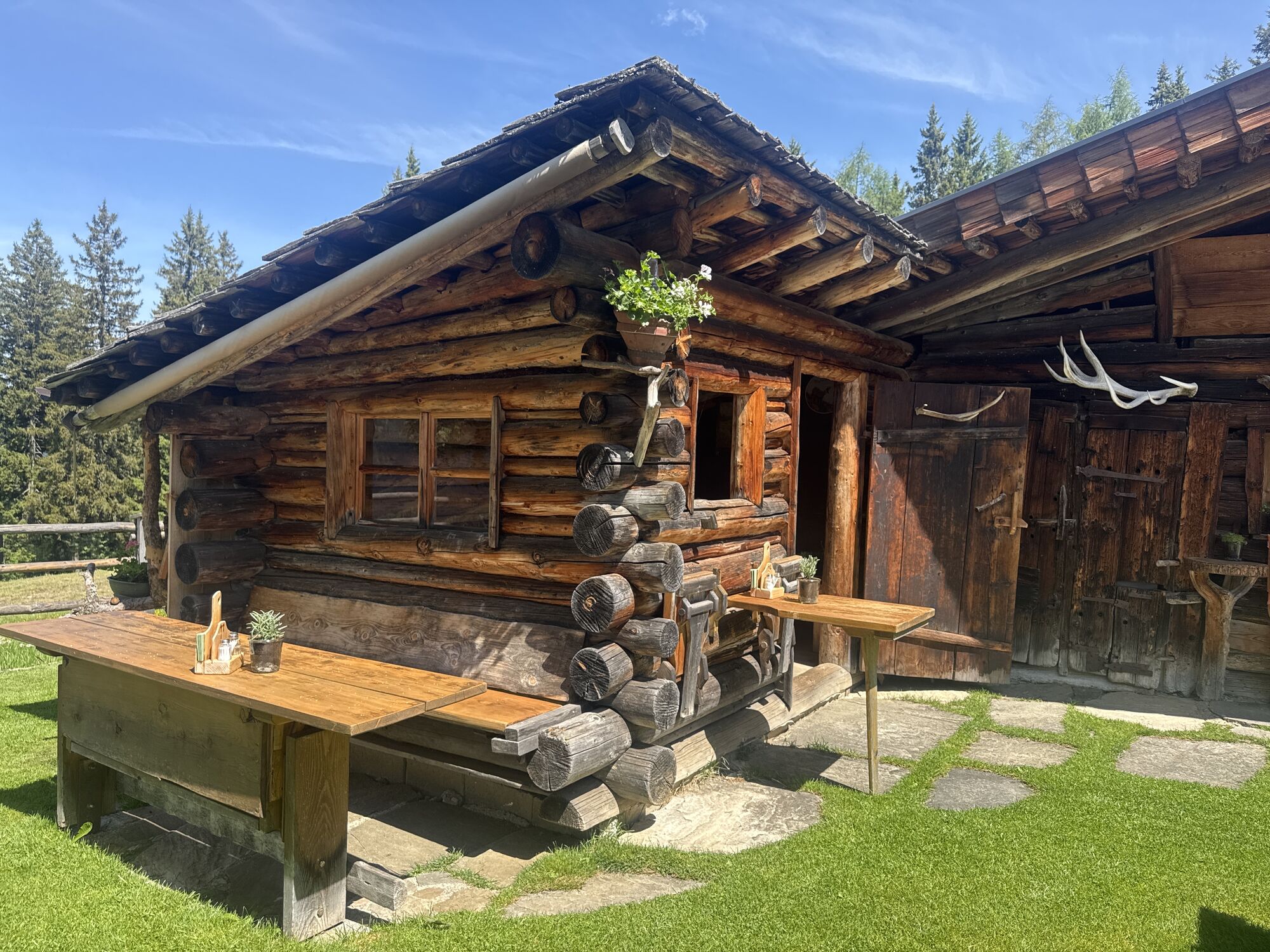
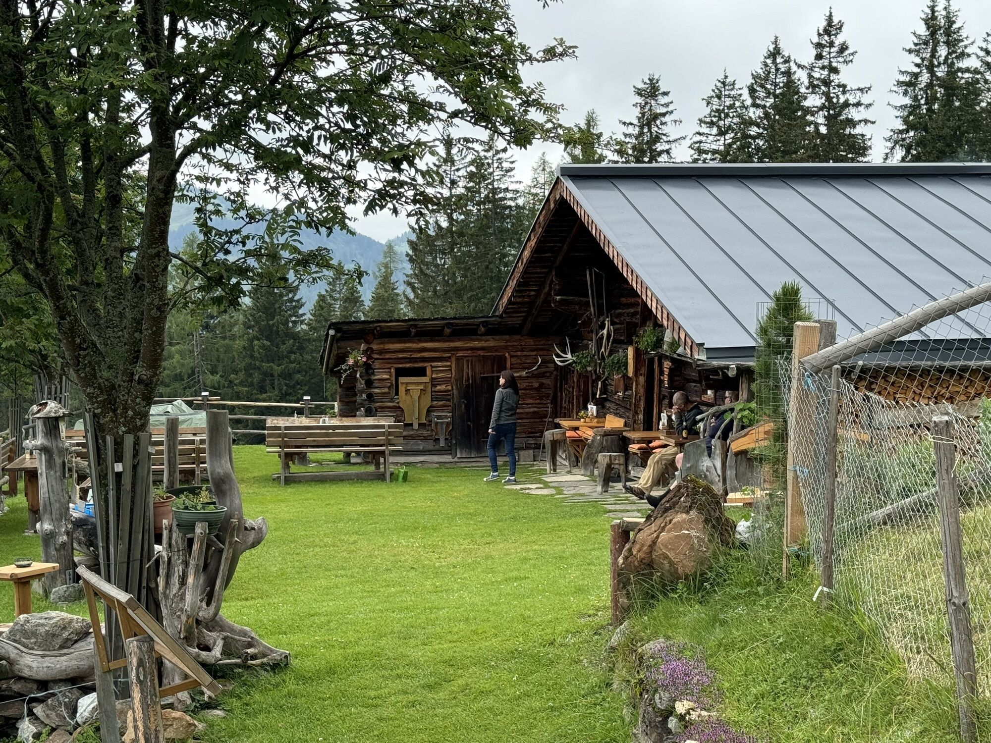
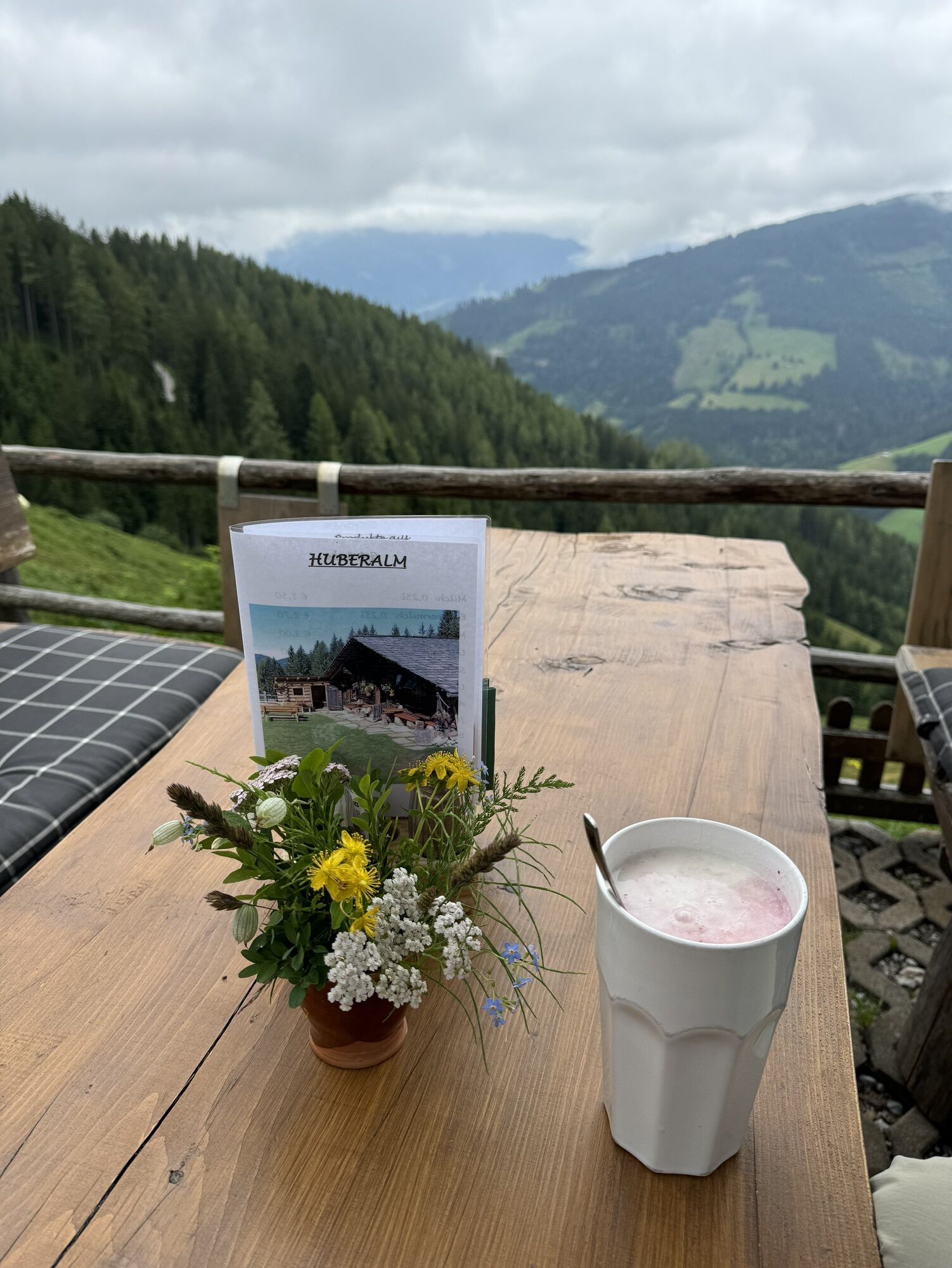
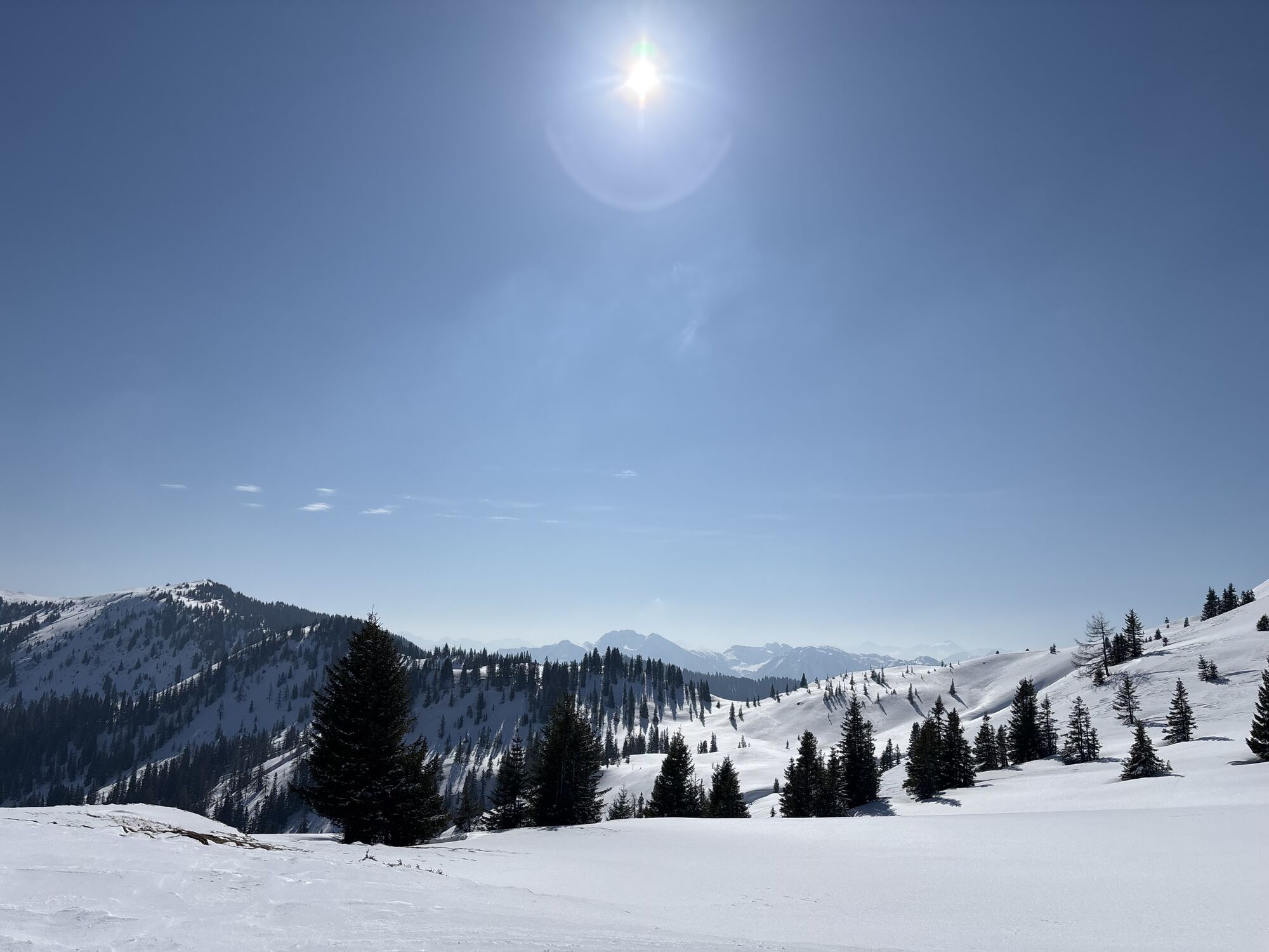
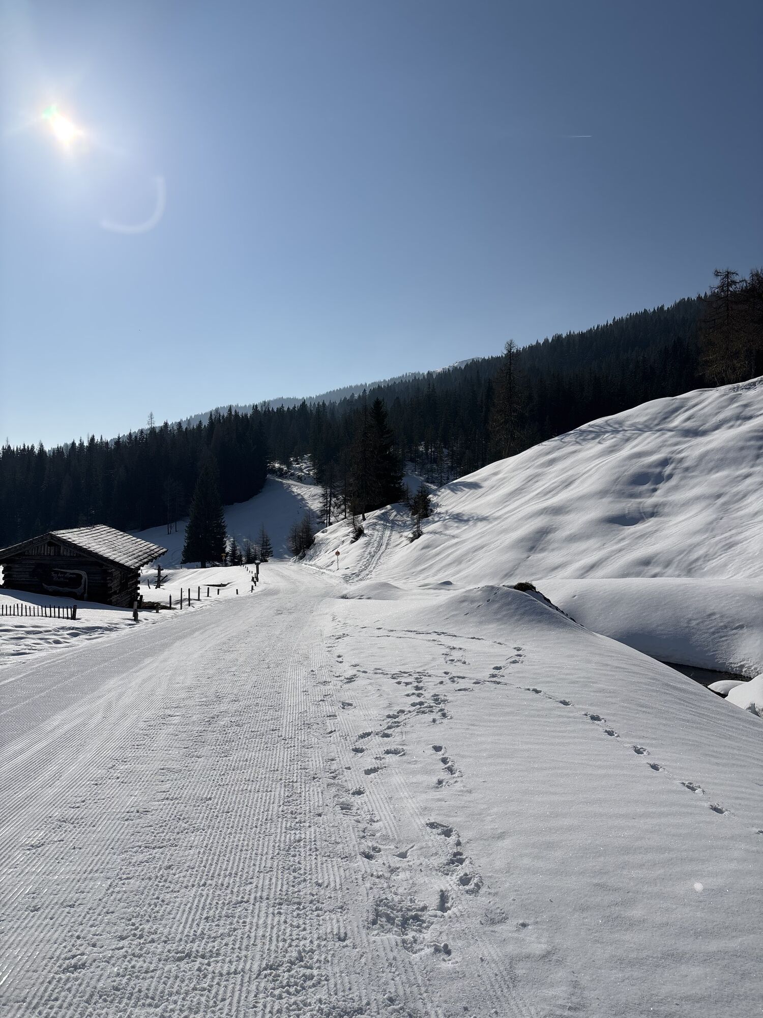
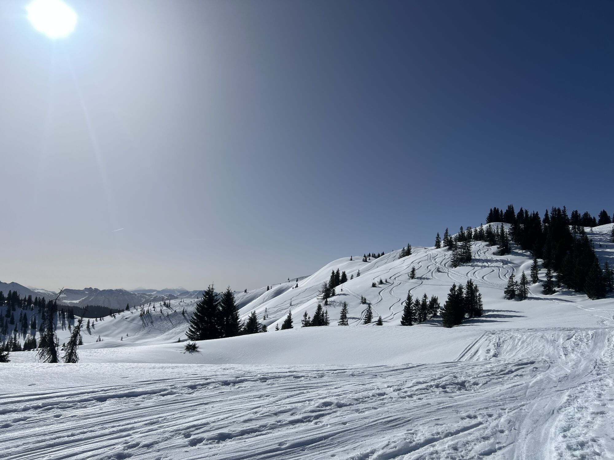
Take the hiking bus to Dientner Sattel, past the Dientalm on trail no. 75 to the Tiergartenalm and then back towards Dienten (no. 76) to Kollmannsegg. From there, a narrow path (no. 15) leads us over gentle grassy hills to the Ahornstein summit cross. From there, we follow trail no. 60 downhill to the Huberalm. Upon arrival at the Huberalm, a path to the right leads through the forest (no. 61) toward Hirscheggalm. This first goes downhill, then a stretch uphill past Schoberalm and on a narrow path to Hirscheggalm. Once there, the route goes uphill again on a forest road (no. 62) up to the junction for Dorf Dienten. This path leads back to the village via Lengthalalm.
Tak
Sturdy ankle-high footwear
Hiking poles
Headgear
Sun protection
Sunglasses
Rain protection
Drinks and a small snack
Necessary medication
First aid kit
Hiking map
Planning and preparation: Plan each intended mountain hike carefully in advance. Hiking maps and guides, as well as information from alpine clubs and locals such as mountain guides and hutkeepers, can be helpful.
Equipment: In the mountains, you need appropriate gear and clothing, especially sturdy, high footwear with good soles. Weather and cold protection are indispensable, as weather can change unexpectedly.
Weather forecasts: Check current weather conditions at: zamg.at or www.uwz.at.
Togetherness: Observe the 10 rules for proper interaction with grazing animals and do not leave any waste in nature!
Do not displace stones: Do not displace stones as this can seriously endanger other hikers. Areas marked as rockfall hazard should be crossed quickly, attentively, and with caution.
Turn back in time: This is no shame but a sign of prudence. It becomes necessary when the weather changes, fog sets in, or the path is too difficult or in poor condition.
Emergency numbers: Alpine emergency: 140, international emergency: 112, rescue: 144
Arrival from Salzburg: Take the A10 motorway to the Bischofshofen exit, then B311 towards Bischofshofen. Follow the Hochkönig federal highway/B164 to Mühlbach and continue to Dienten.
Arrival from Innsbruck/Kufstein: Take the Loferer Straße/B178 toward St. Johann i.T., then via the Hochkönig federal highway/B164 through Saalfelden and Maria Alm to Dienten or Filzensattel, then continue toward Mühlbach.
A valid vignette is required for using Austrian motorways and expressways. Carrying a first aid kit, warning triangle, and high-visibility vest is also mandatory. More info at Asfinag.
ÖBB Scotty: Timetable info
Bus line 620: Timetable info
Bus line 631: Timetable info
Hiking bus: Timetable info
Free parking at Dientner Sattel, near the Dientalm and at the Erichhütte parking lot
For detailed information about hiking maps, summer opening hours of mountain lifts as well as huts and alms, we recommend visiting the service center on site. There you will receive not only the hiking map but also valuable tips on the best hiking routes and current conditions.
Summer opening hours of the mountain lifts: The mountain lifts offer various opening hours during the summer months that can vary depending on weather and season. Please find out in advance about the current operating times.
Opening hours of huts & alms in summer: The huts and alms in the region are ideal rest stops for hikers. Here, too, the opening hours can vary depending on season and day of the week. Let the friendly hosts advise you on the offers and specialties on site.
For more information, please visit our website: www.hochkoenig.at.
If you have questions or want to obtain specific information, feel free to contact us:
Email: region@hochkoenig.at
Phone: +43 (0)6584 20388
We look forward to helping you and wish you lots of fun exploring the beautiful hiking region Hochkönig!
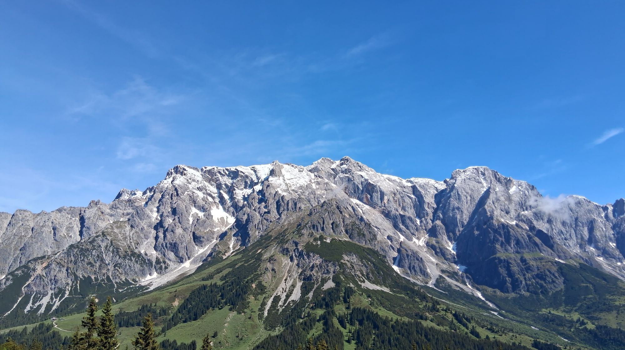
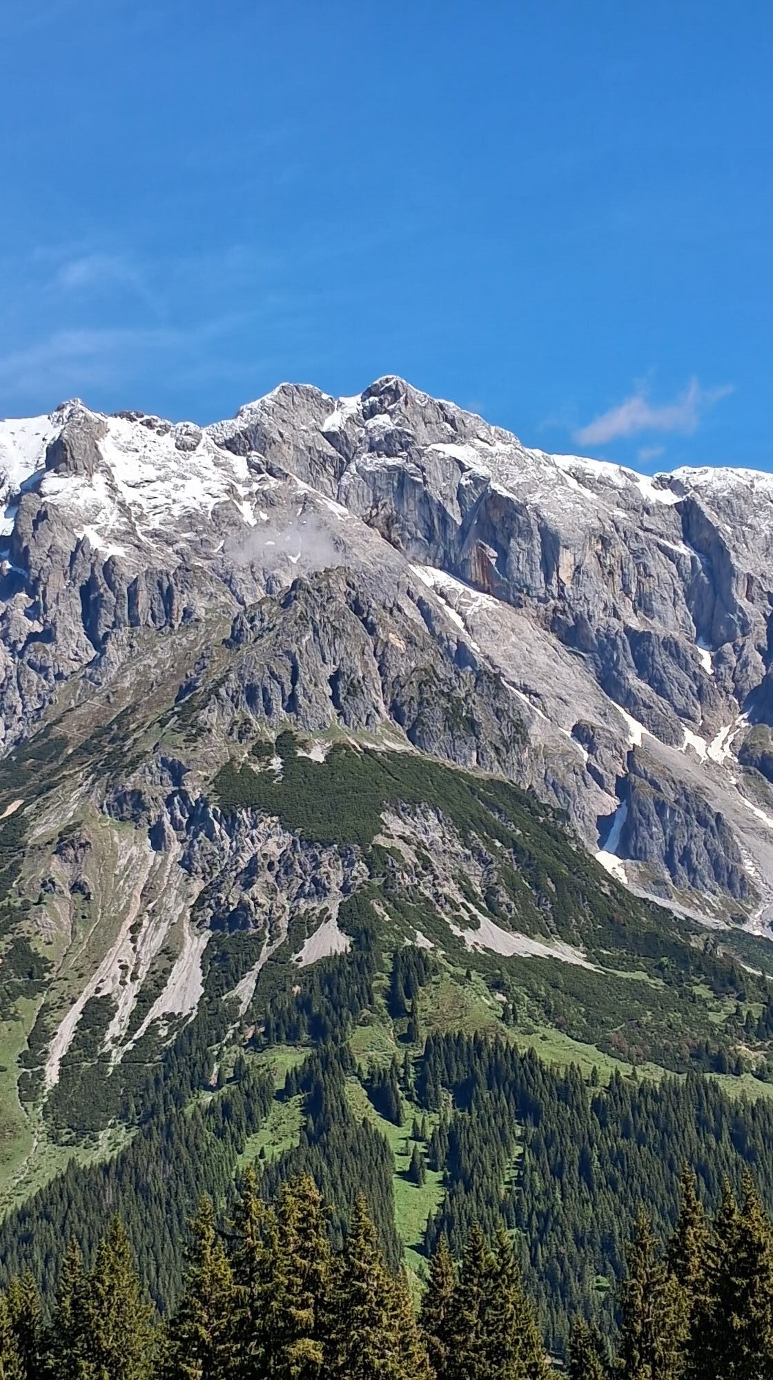
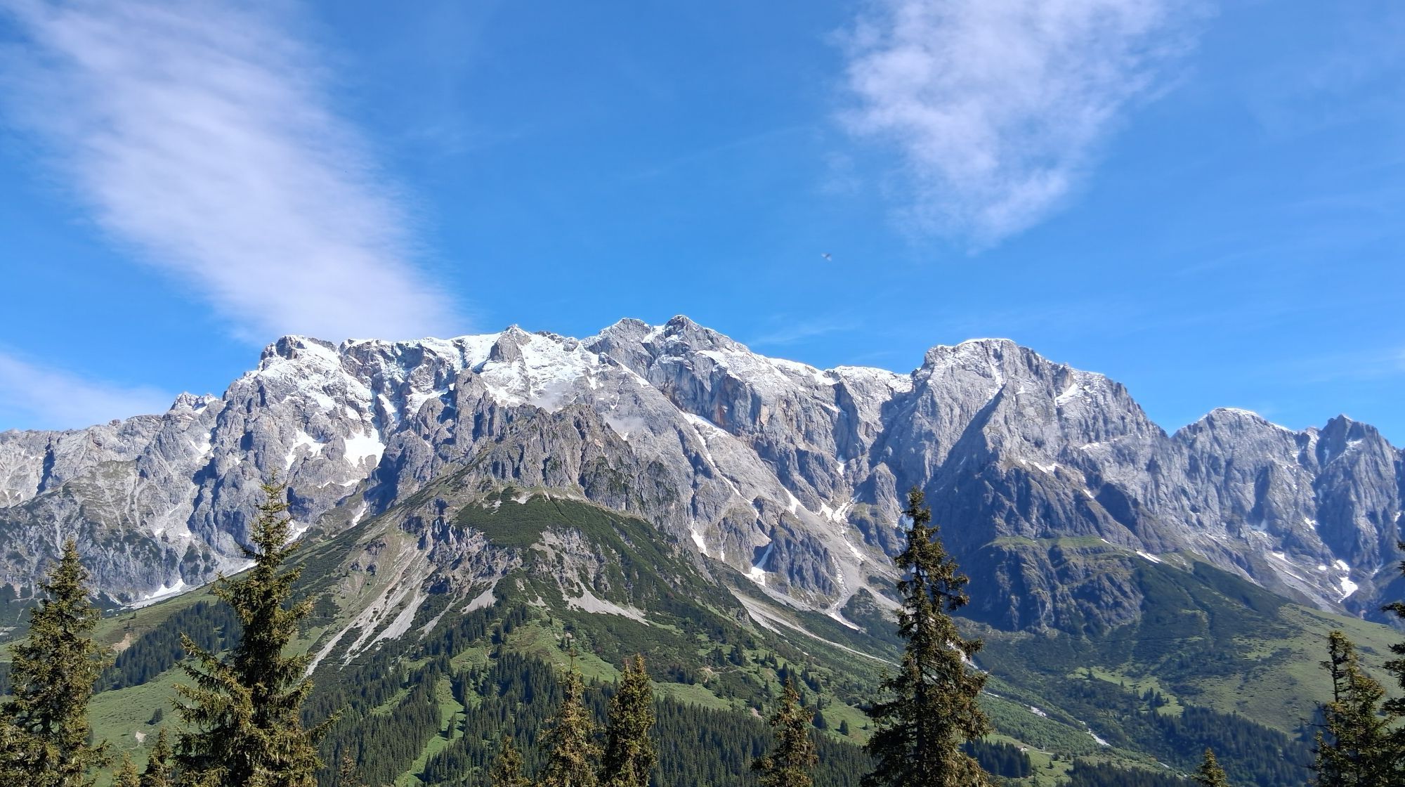
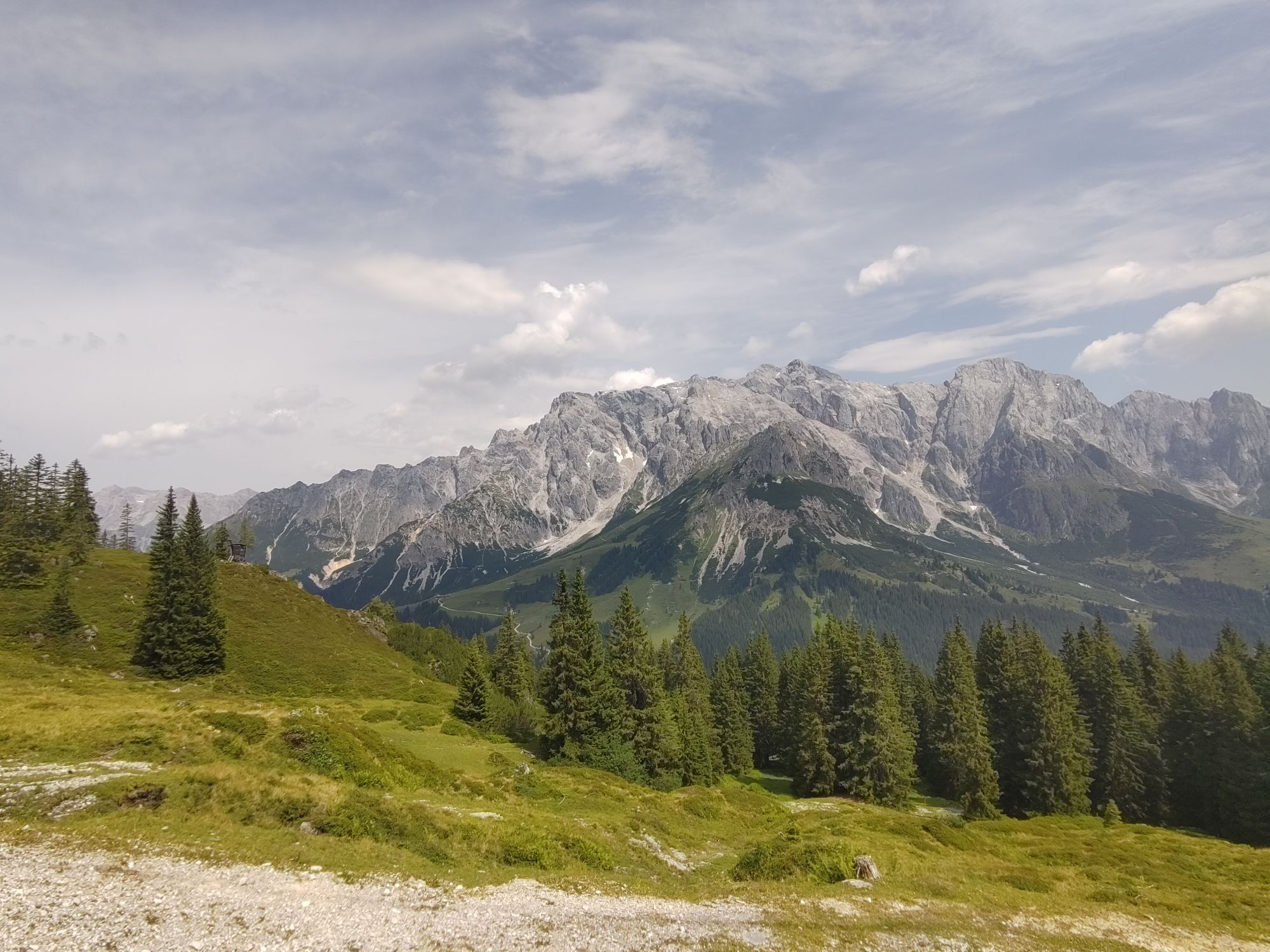
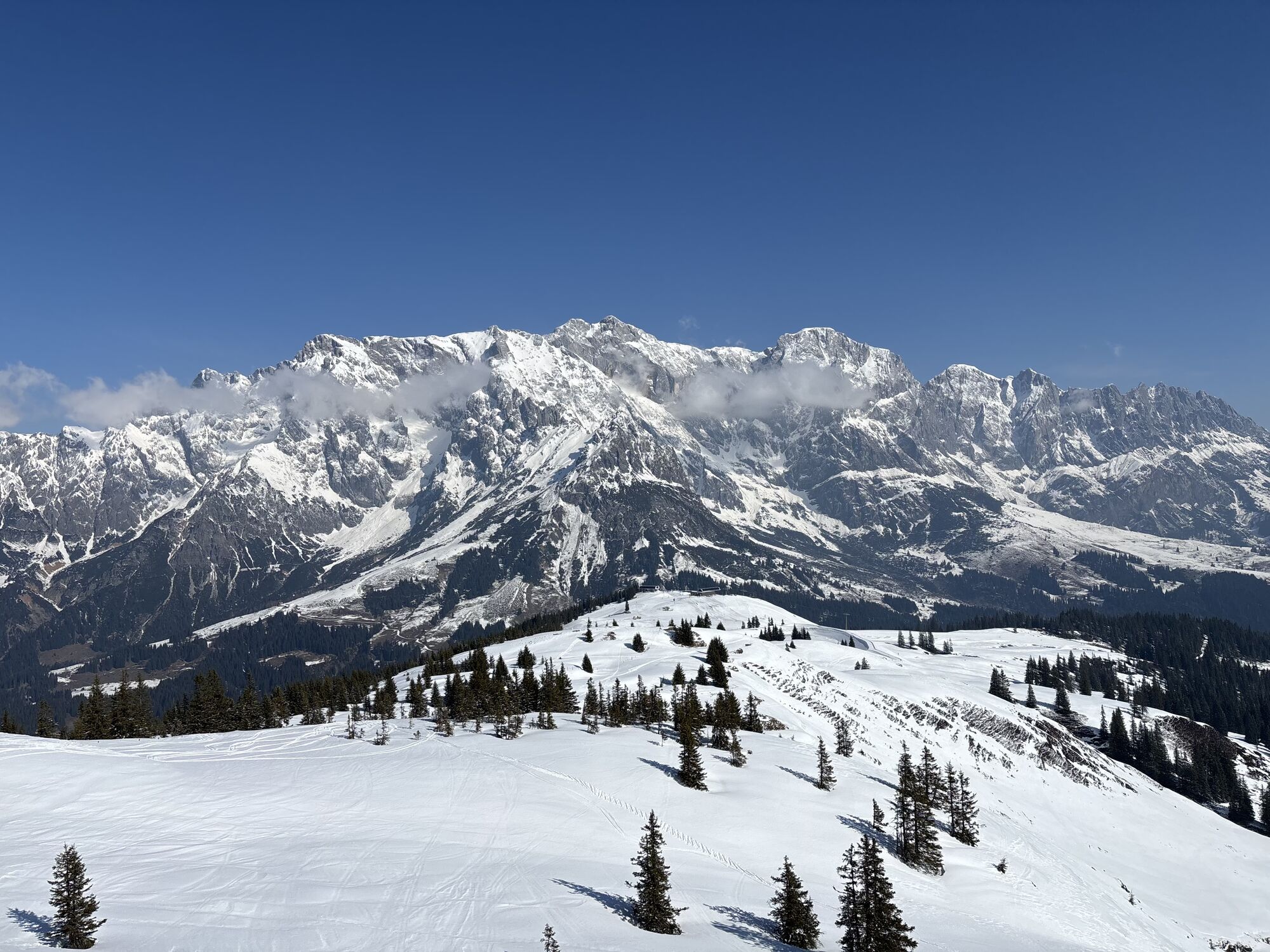
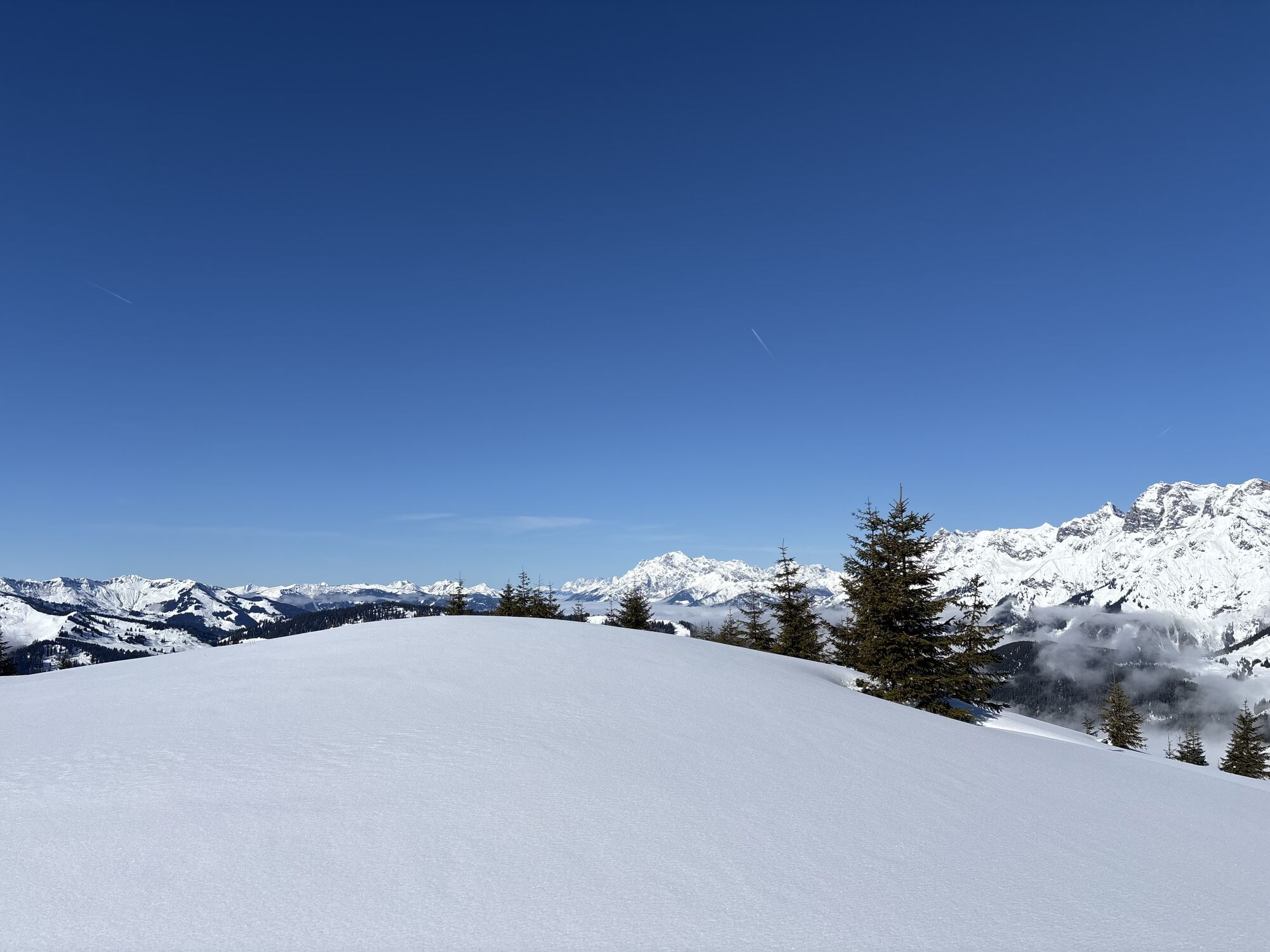
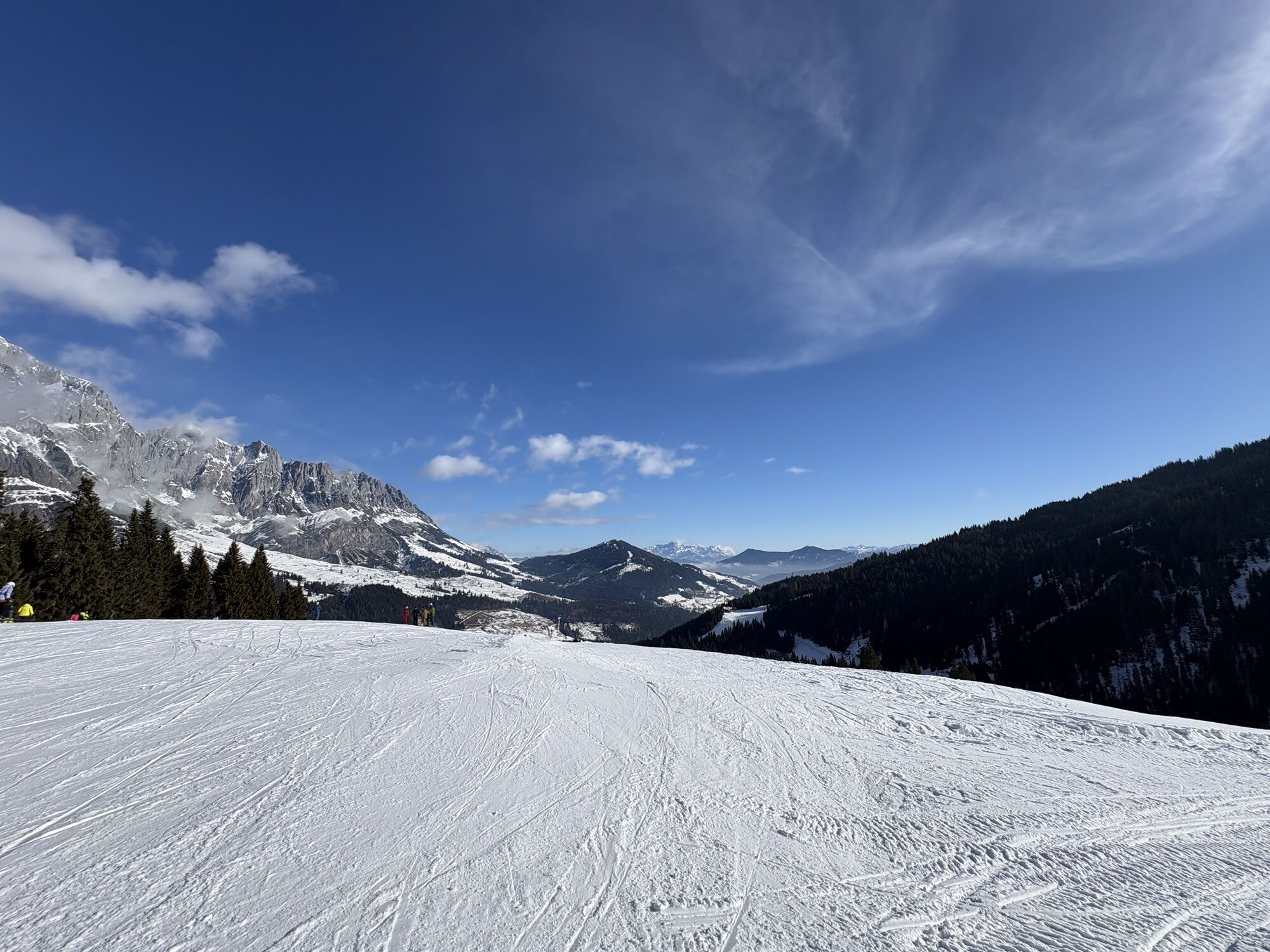
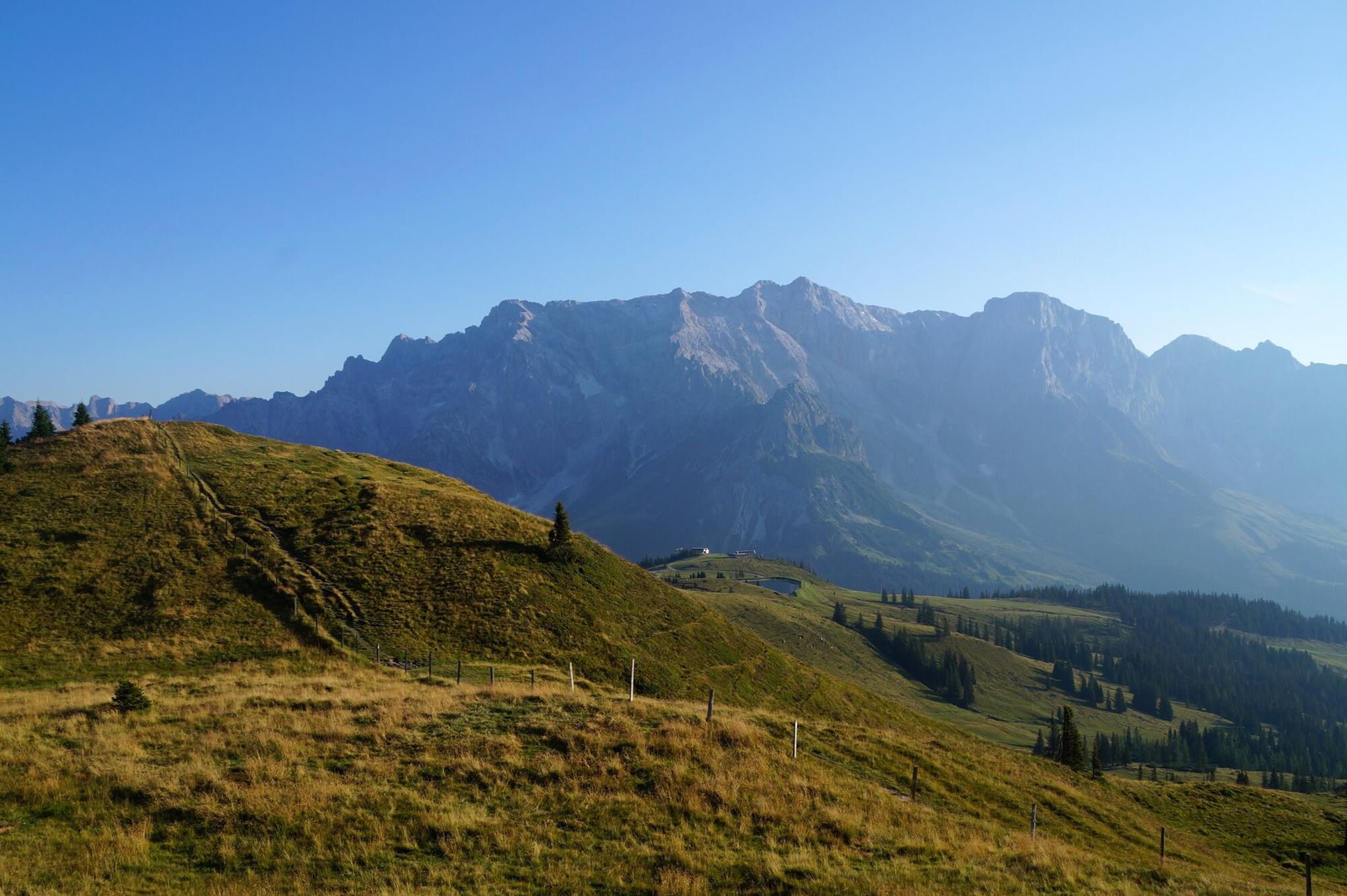
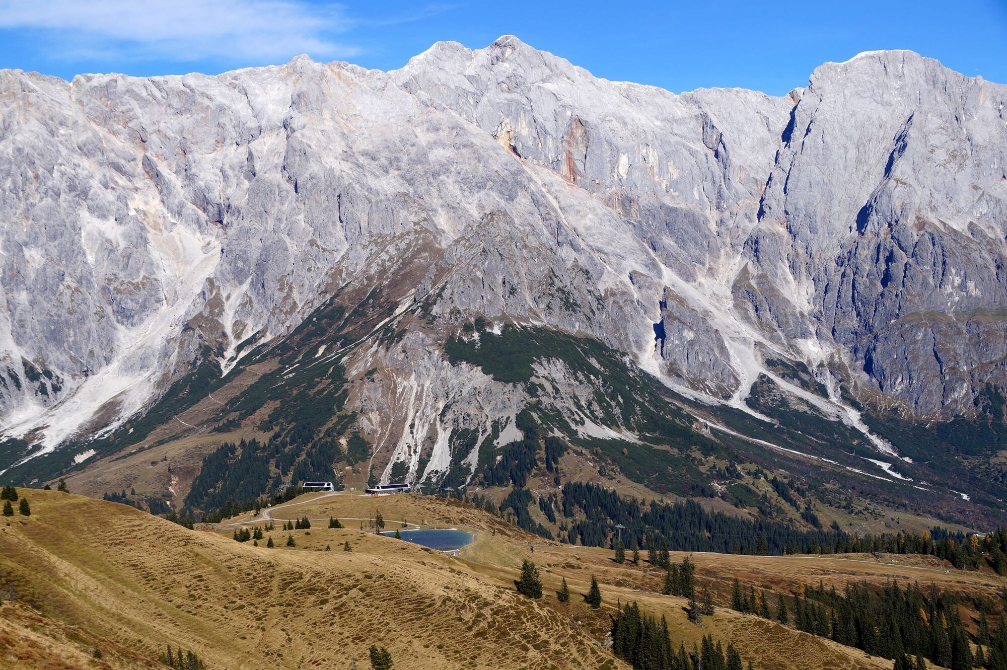
Great panoramic view of the Hochkönig!

Kamery internetowe z trasy
Mühlbach am Hochkönig
Maria Alm - Hochmaisbahn
Mühlbach am Hochkönig - Hotel Bergheimat
Bergstation Kings Cab
Matrashaus am Hochkönig
Dienten - Übergossene Alm Resort
Dienten - Almsee
Dienten - Übergossene Alm Resort
Dienten, Bürglalmabfahrt
Bürglalmbahn Abfahrt
Hochkönigblick
Hinterthal - Urslauerhof
Hinterthal - Urslauerhof
Uzyskaj wgląd Zawsze na żywo z ponad 9 500 kamer internetowych. bergfex Jako użytkownik Pro, możesz teraz zobaczyć odpowiednie kamery internetowe dla wielu wycieczek w aplikacji wycieczki od. Pozwala to na bezpośredni podgląd aktualnych warunków. Popularne wycieczki w okolicy
- 4,4
Maria Alm - Riemannhaus
Wędrówka 3,99 km - 4,9
Großarl: Aualm - Liechtensteinkopf - Aukopf - Schuhflicker - Schuhflickersee
średniWędrówka 5,84 km - 4,8
Summit stormer route Lauskopf
ciężkiWędrówka 8,16 km - 4,8
Highlight Kitzlochklamm Classic round
średniWędrówka 2,02 km - 4,8
Summit storming route Taghaube
ciężkiWędrówka 6,25 km - 4,7
About the "Four Huts circular route" to Windraucheggalm
średniWędrówka 10,1 km - 4,4
Schwalbenwand Nr. 80, 81, 82
średniWędrówka 13,0 km - 4,6
Panorama hike to the Hochkeil
średniWędrówka 6,07 km - 5,0
Großarl: Heukareck
średniWędrówka 12,5 km - 4,6
Großarl: Mooslehenalm – Niggeltalalm – Viehhausalm
średniWędrówka 5,44 km

Wędrówki i tropienie


Nie przegap ofert i inspiracji na następne wakacje
Twój adres e-mail została dodana do listy mailingowej.





