







Lungötz: Arzbergalm - Sulzkaralm - Mahdalm (20 points)
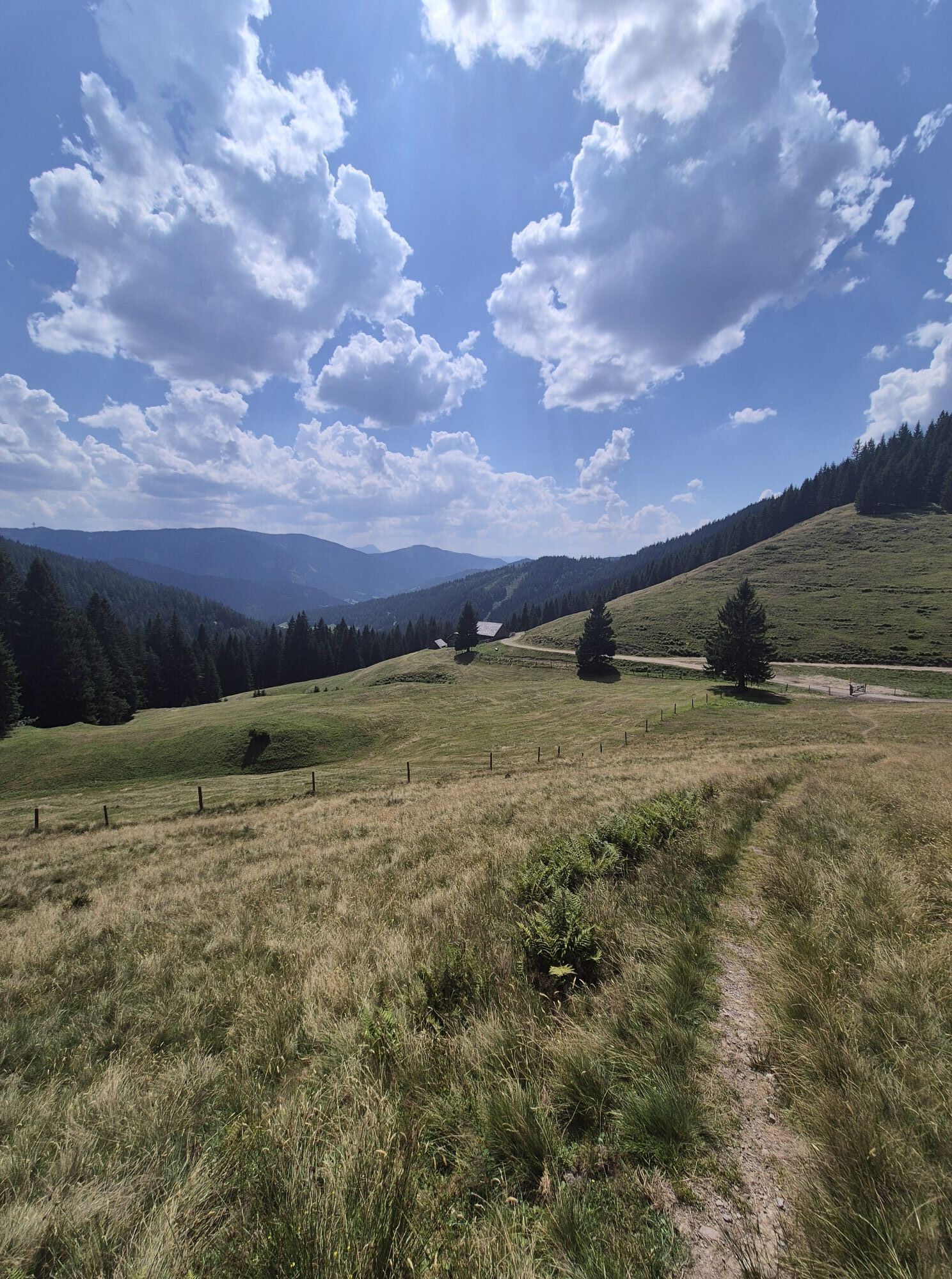
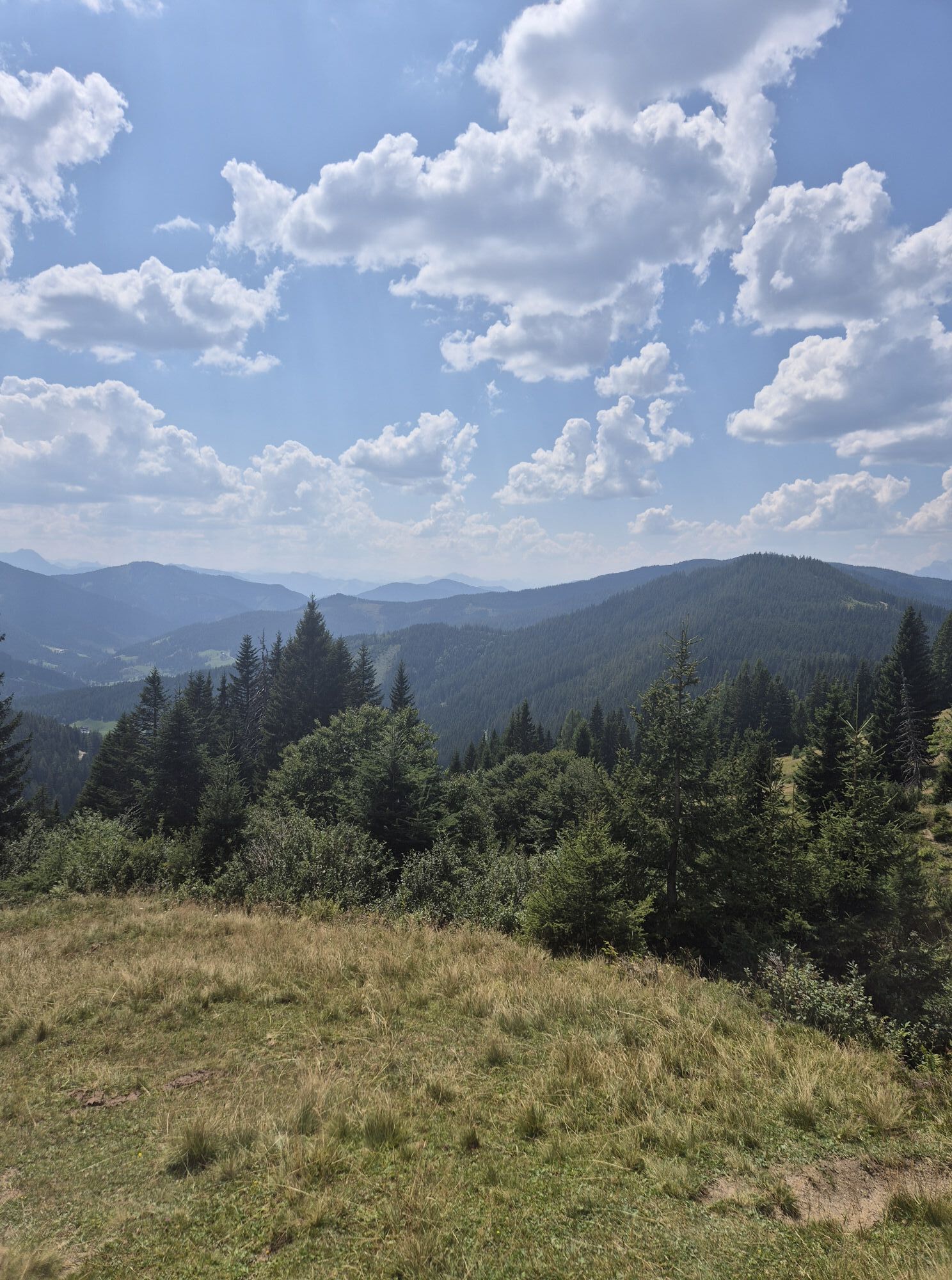
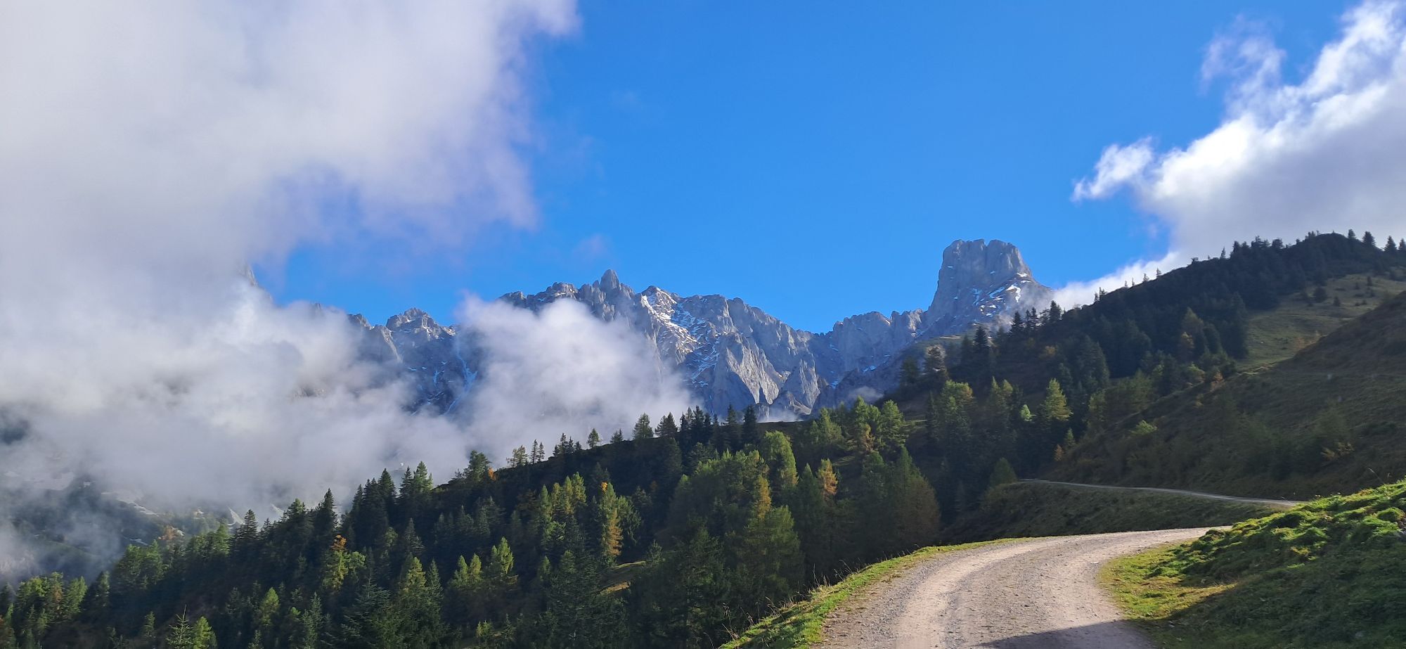
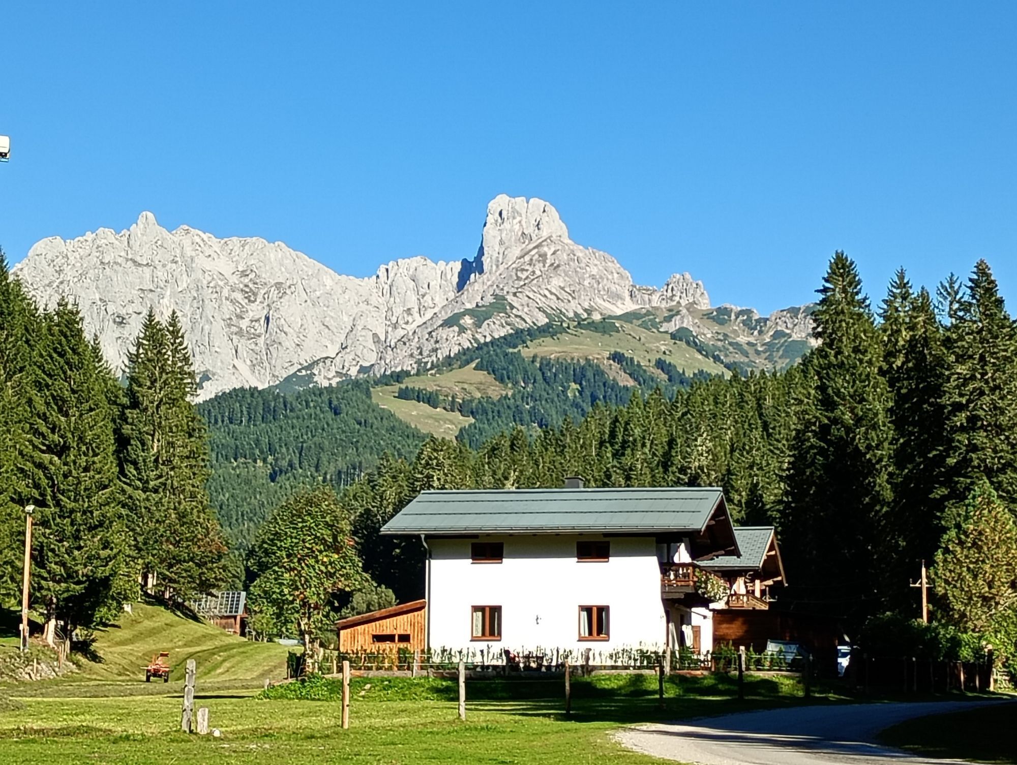
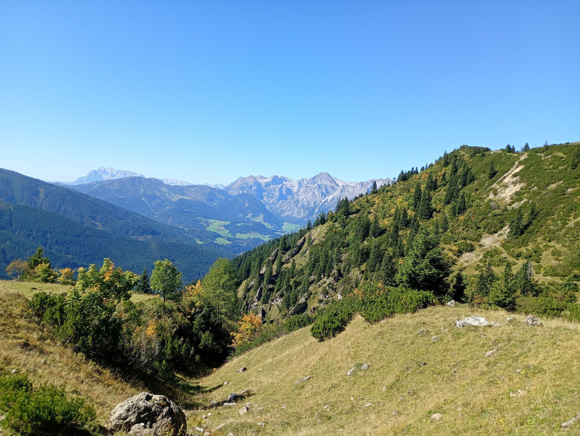
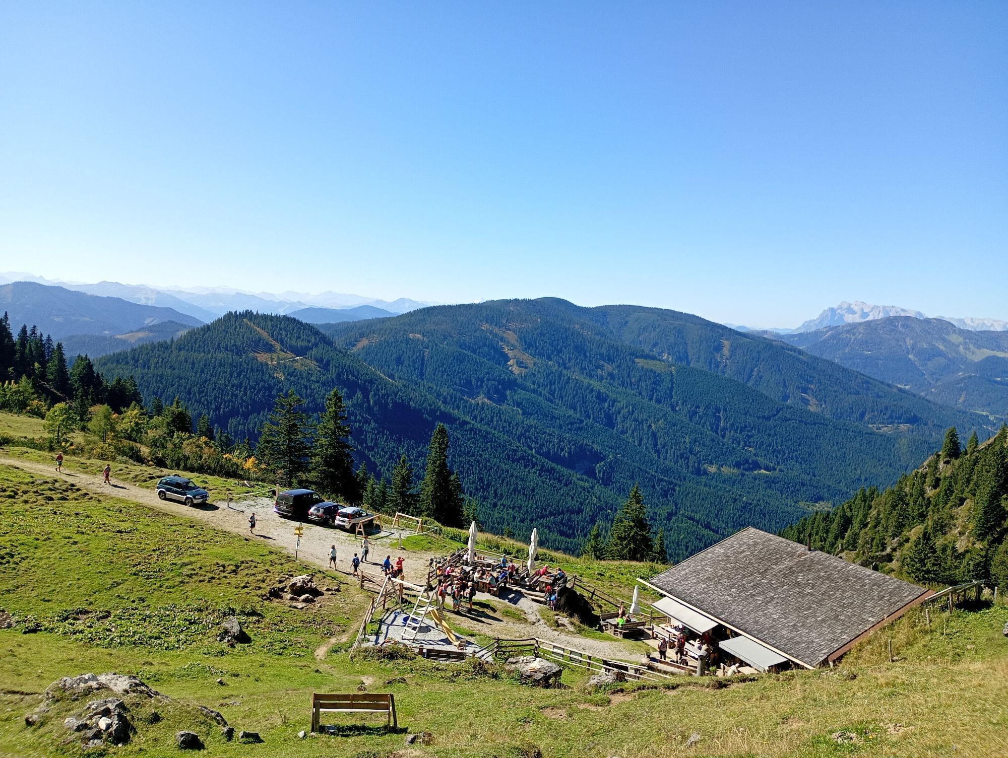
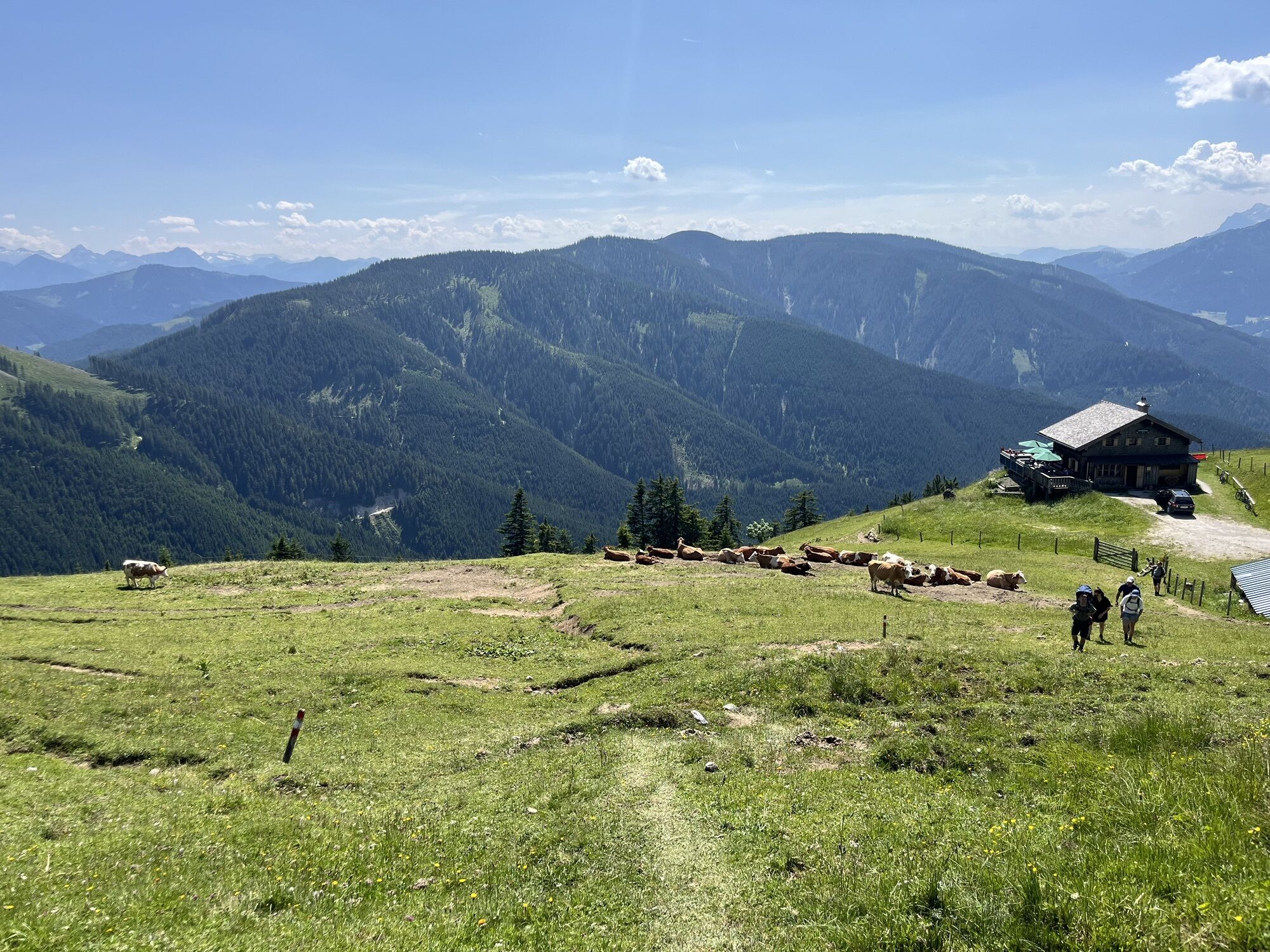
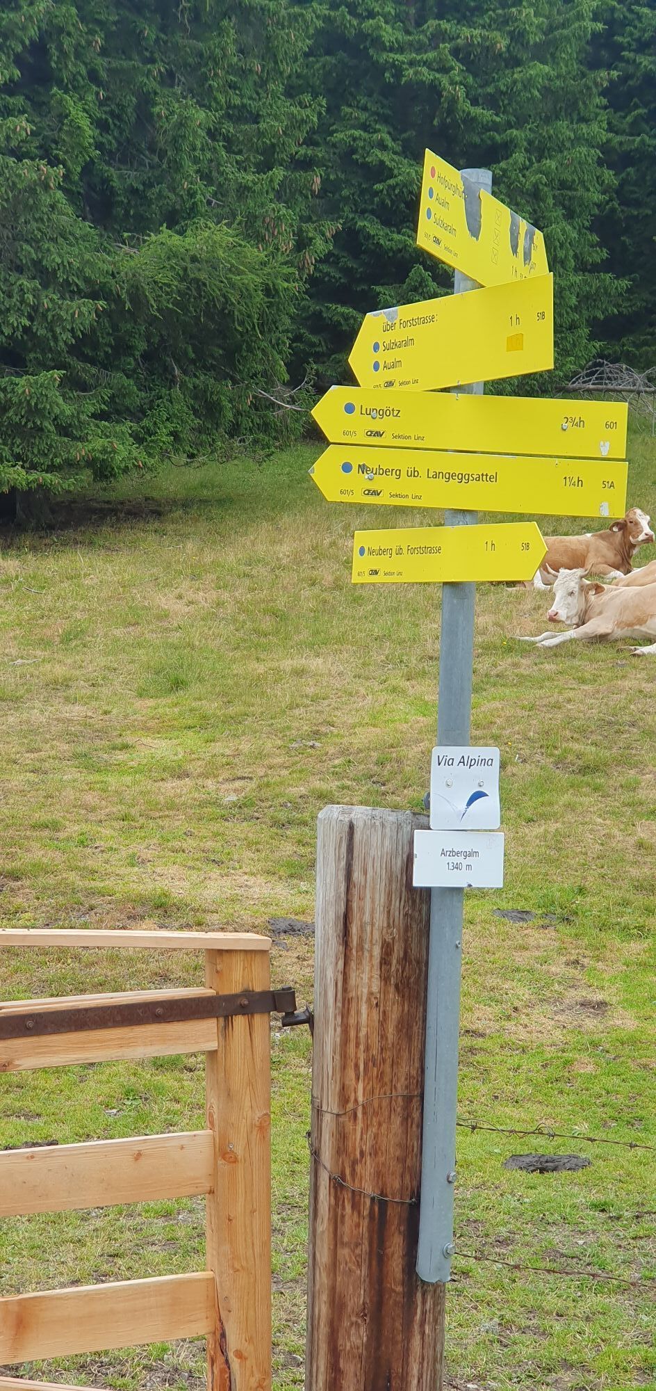
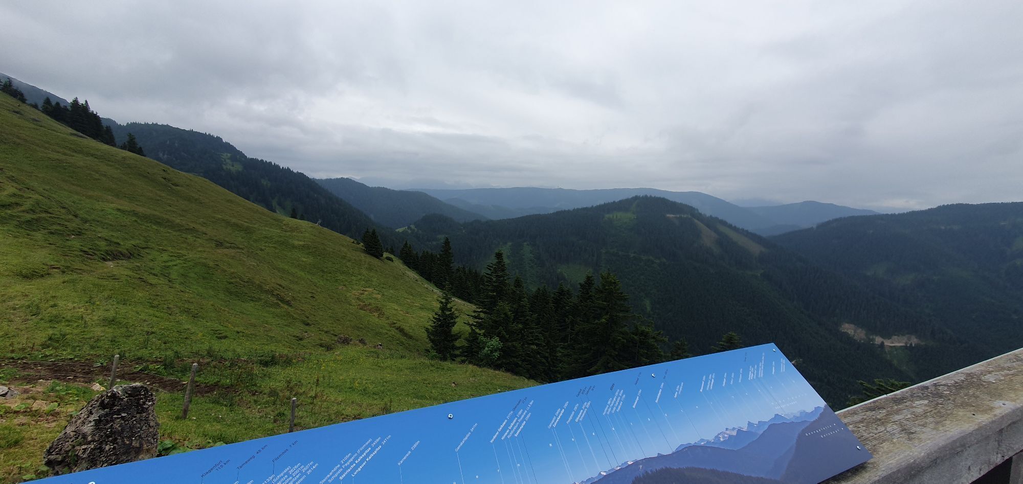
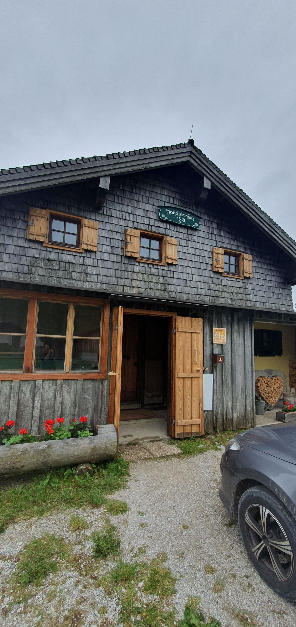
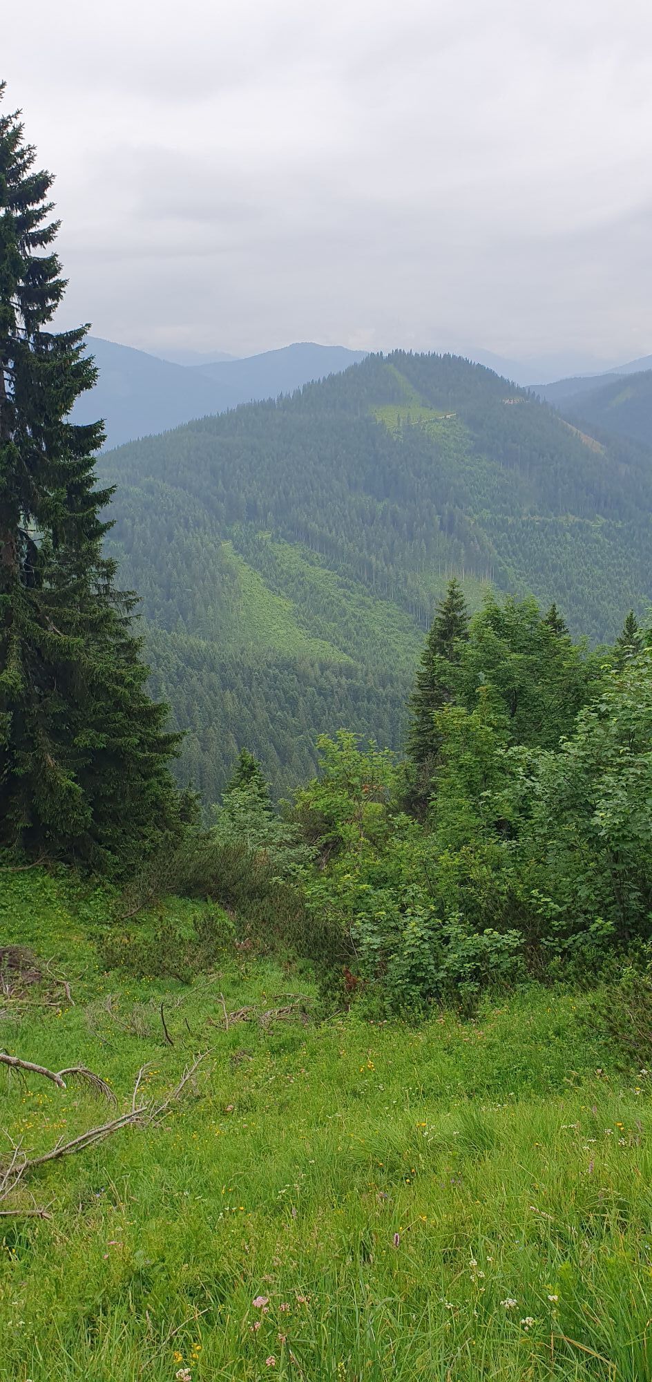
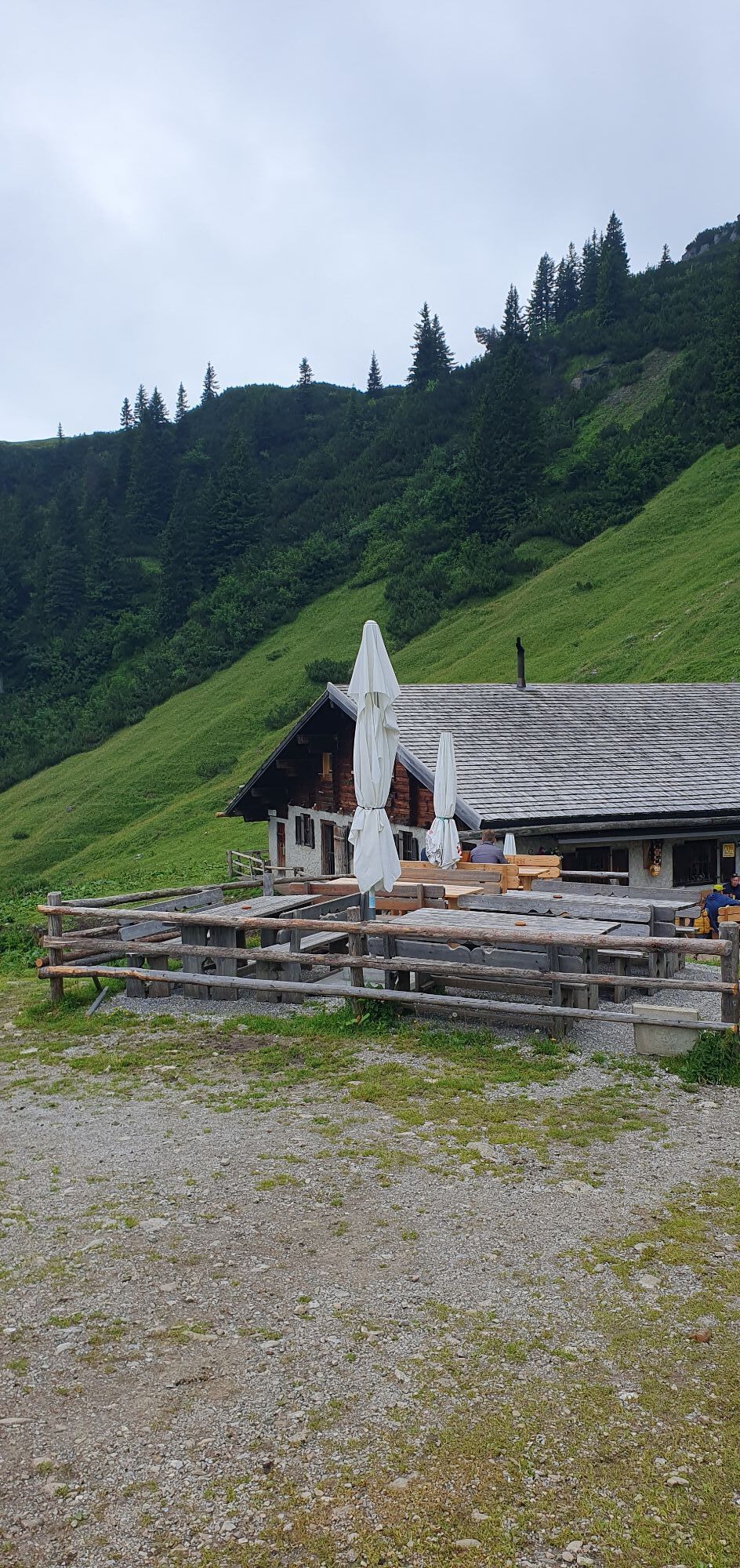
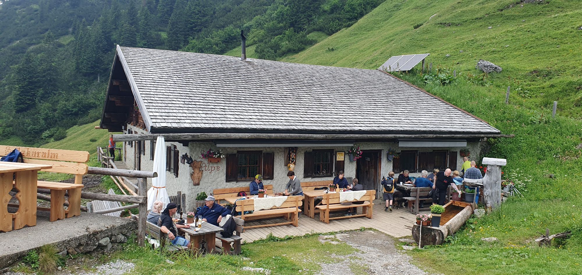
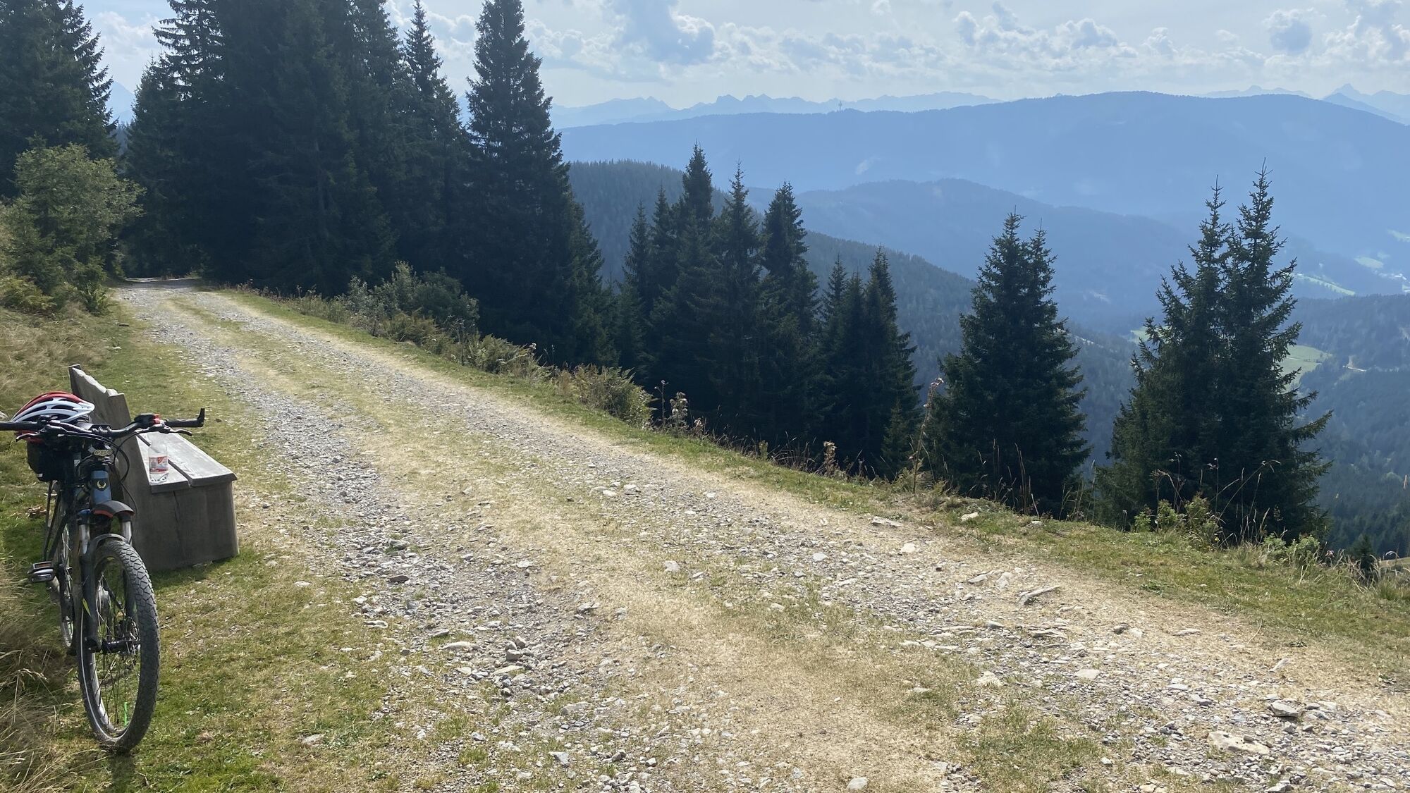
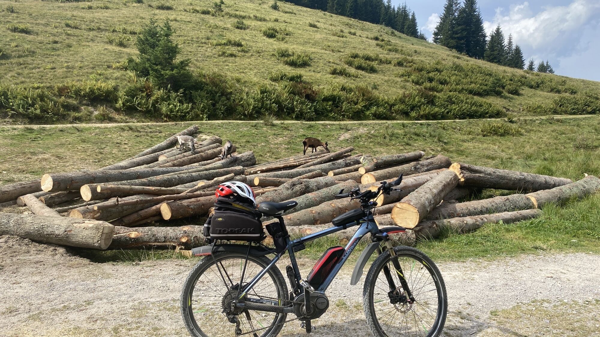
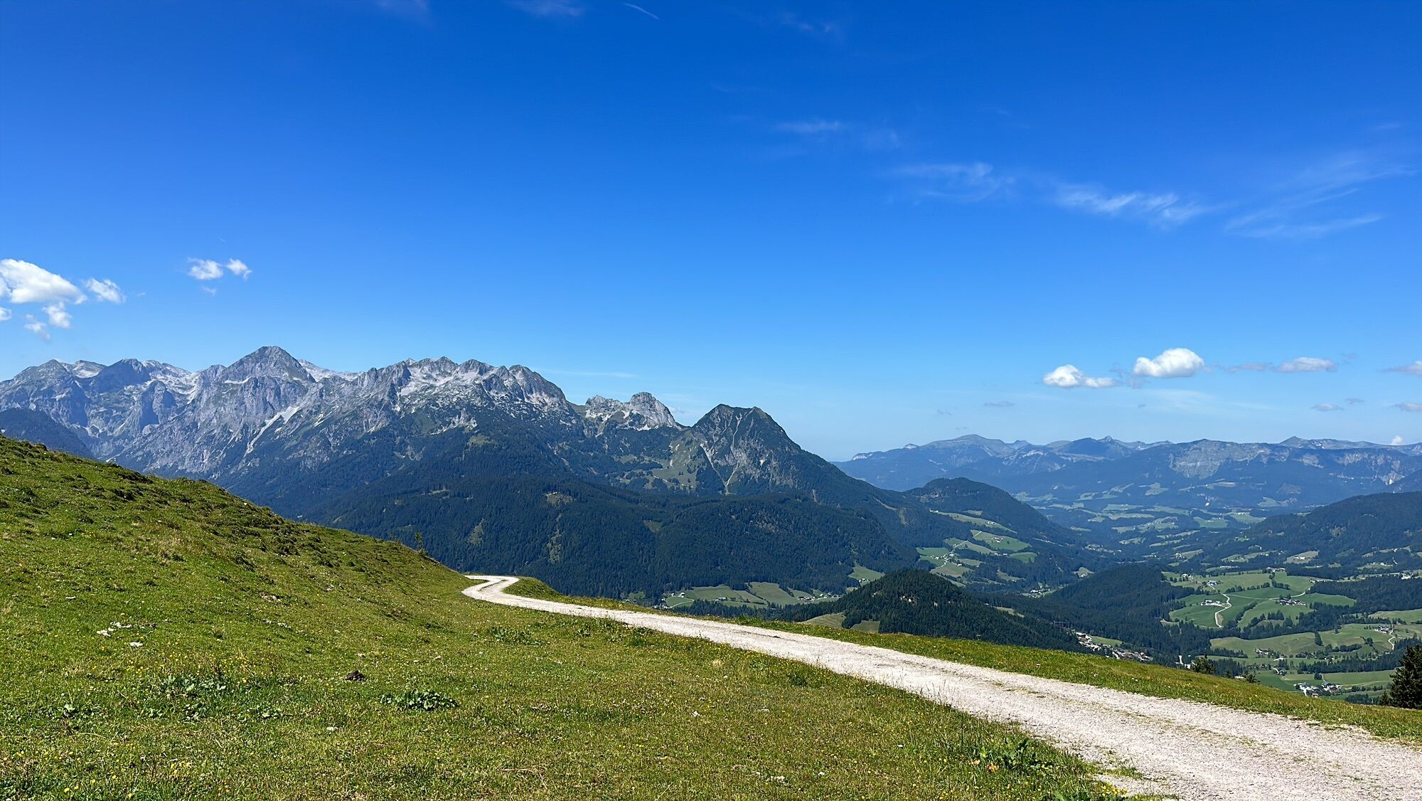

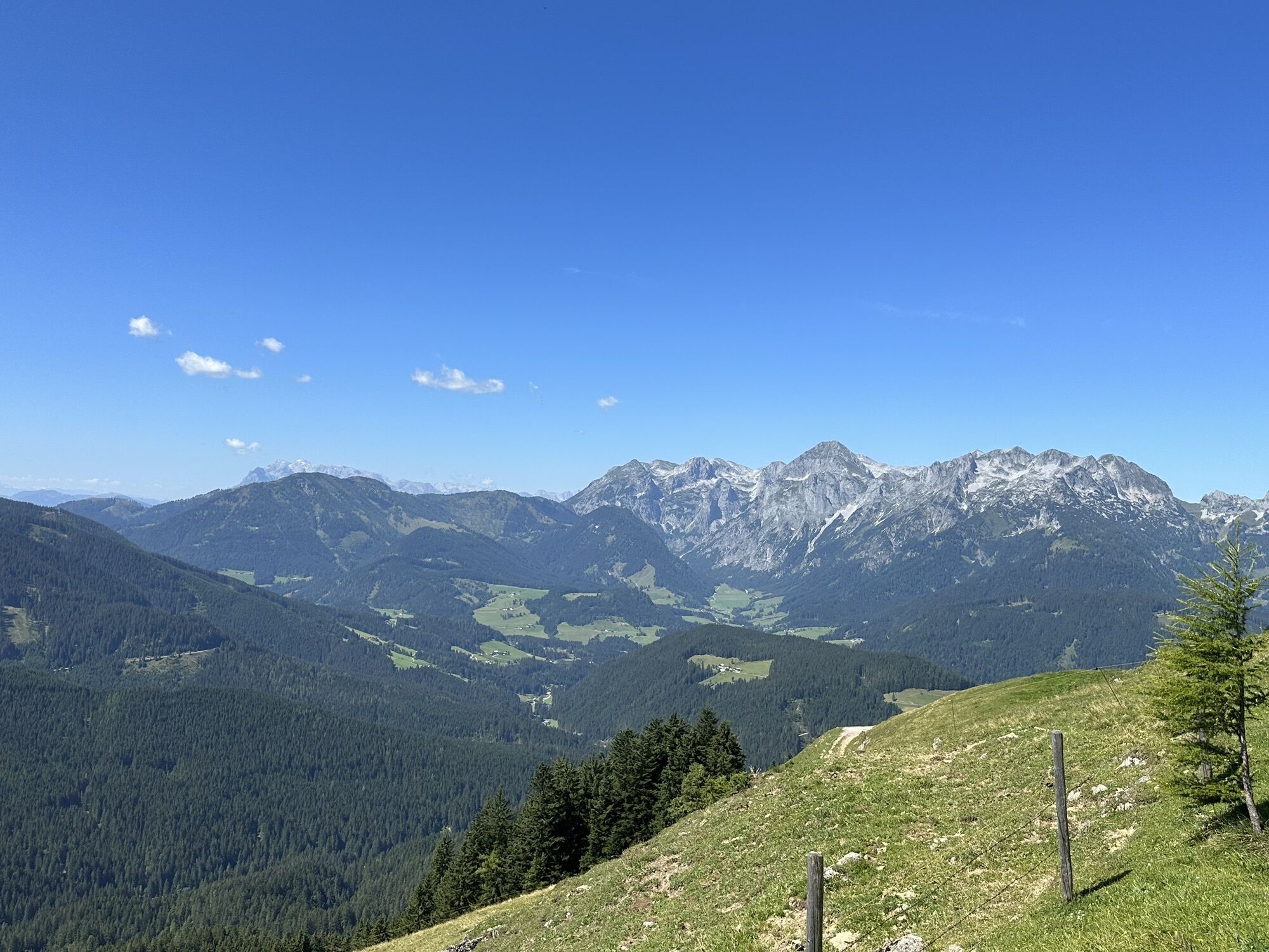
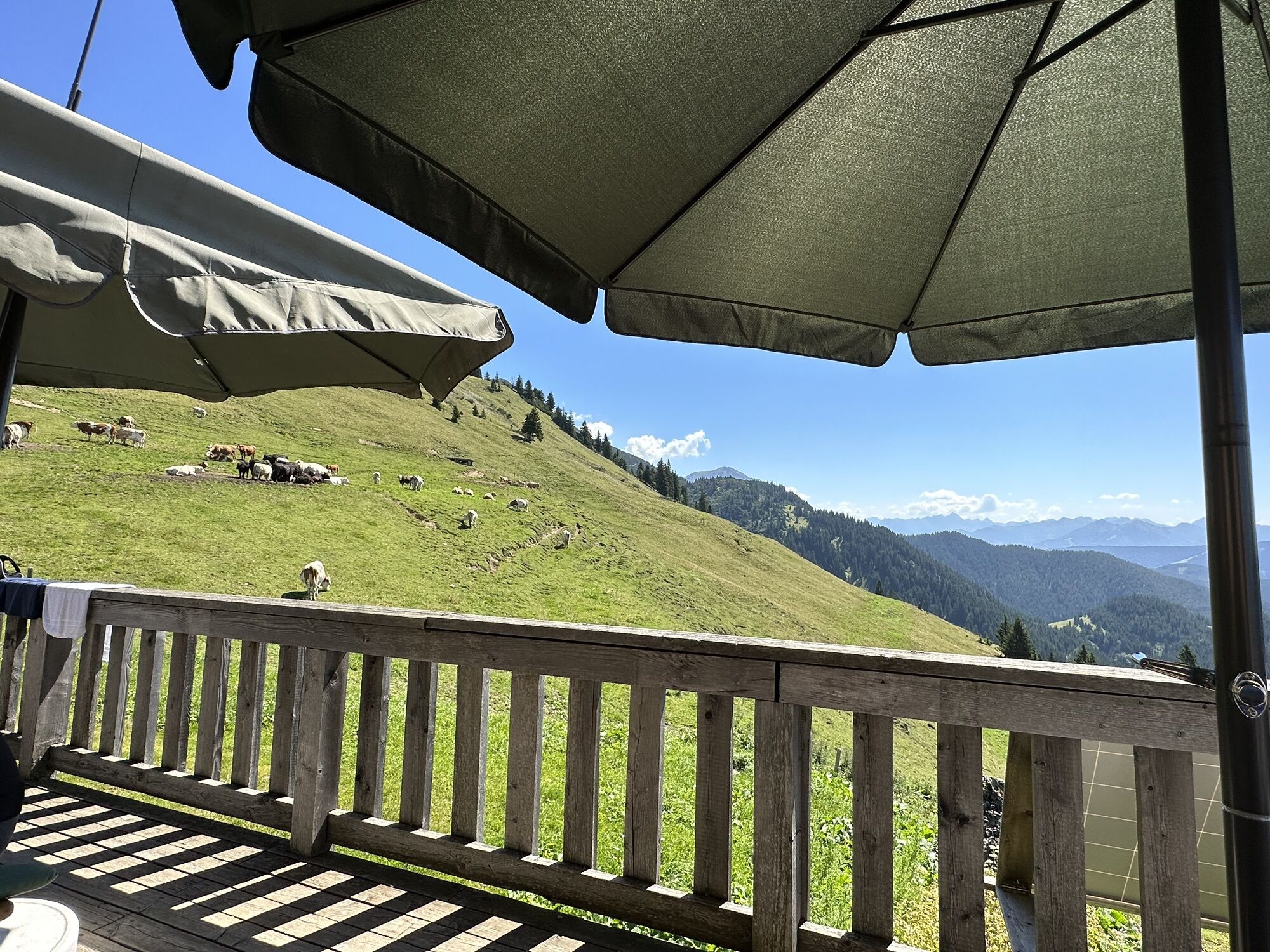
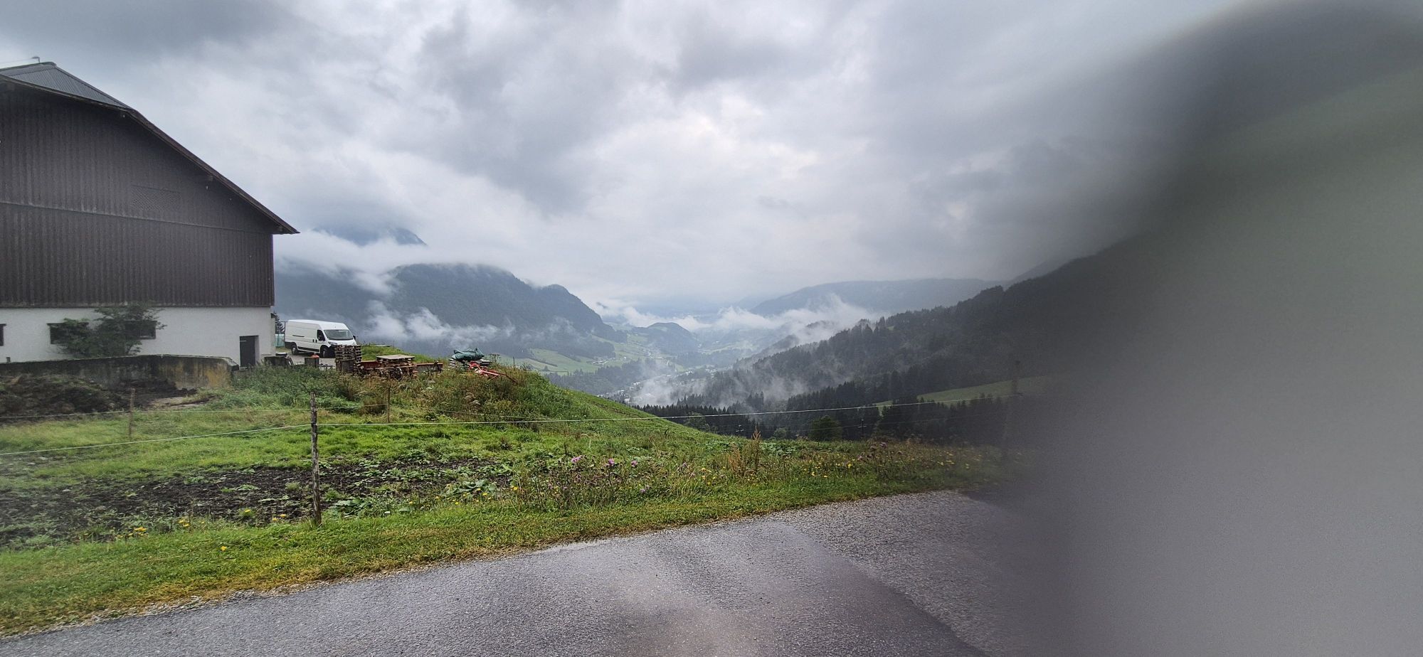
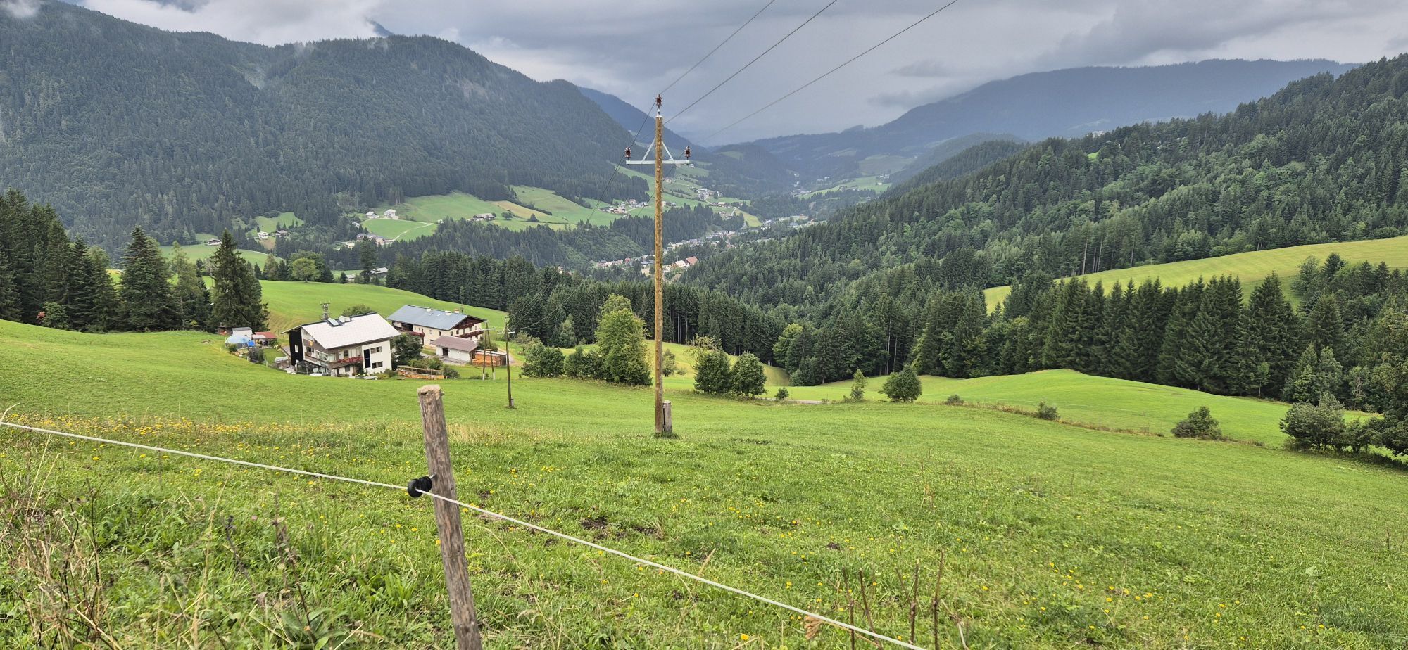
From Neubachtal in Lungötz, a forest road and alpine path lead up to the alpine pasture area. This is crossed at the foot of the Gosaukamm on well-marked hiking trails, to then complete the circular route...
From Neubachtal in Lungötz, a forest road and alpine path lead up to the alpine pasture area. This is crossed at the foot of the Gosaukamm on well-marked hiking trails, to then complete the circular route back to Lungötz downhill.

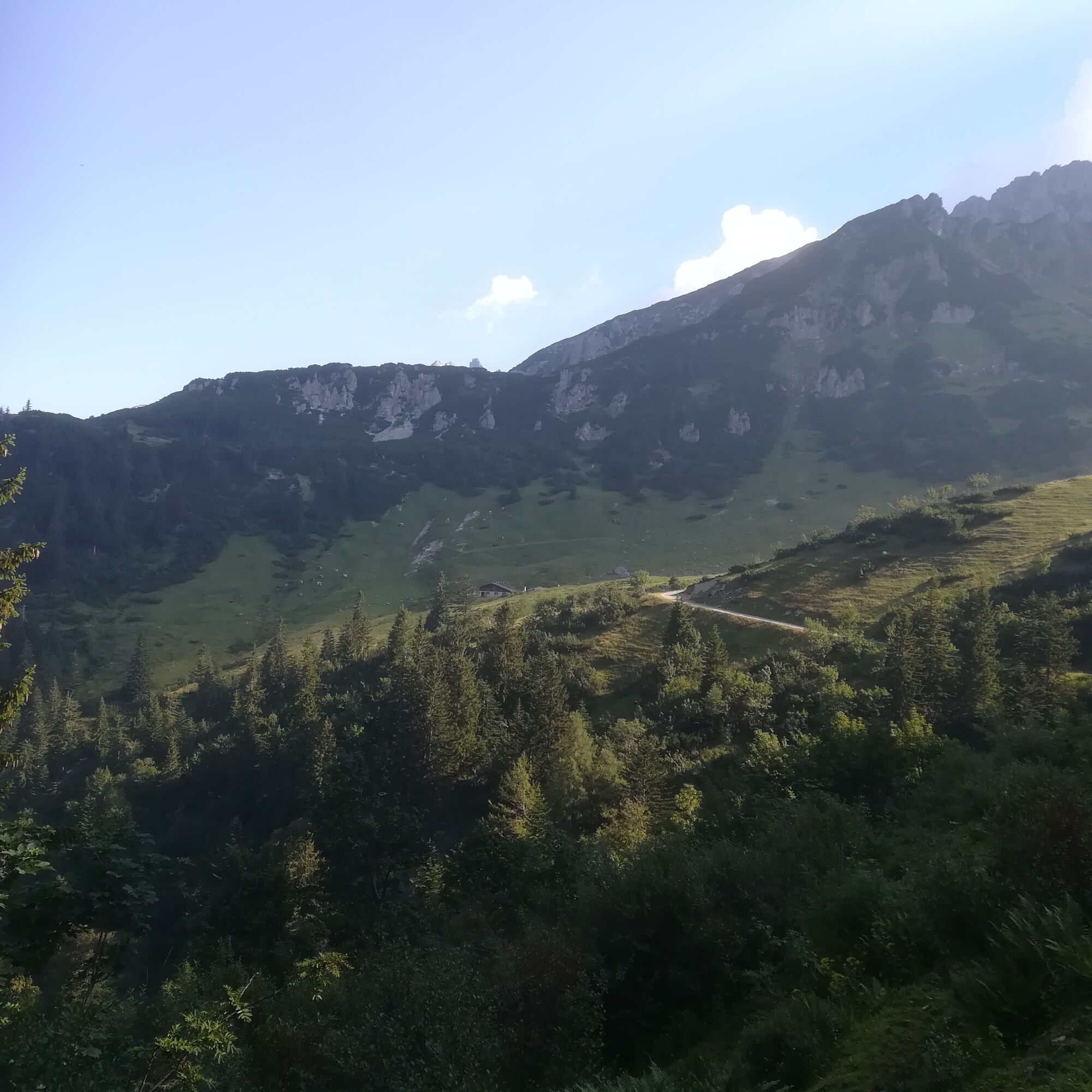

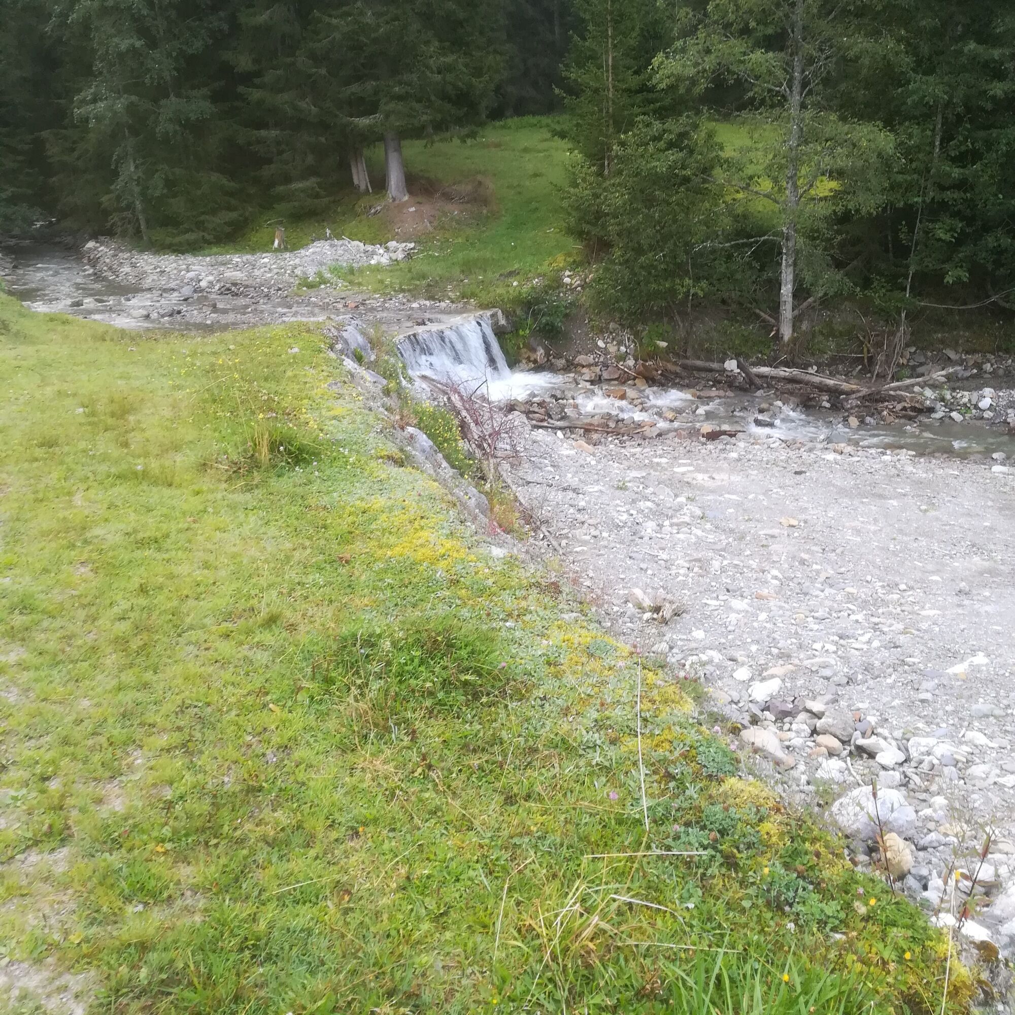
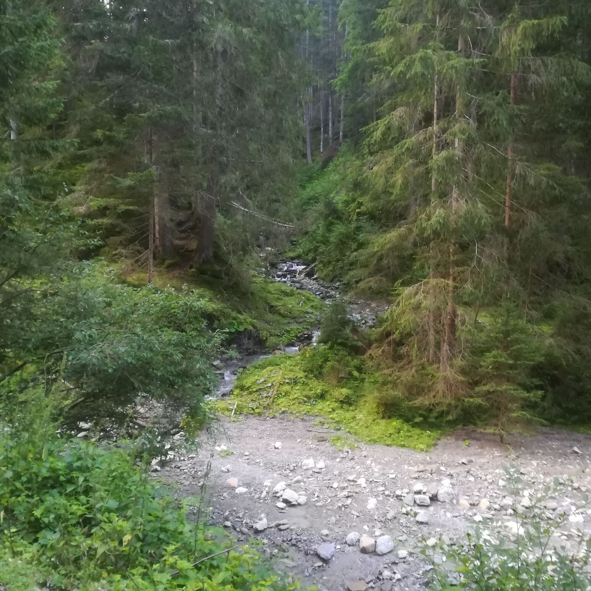
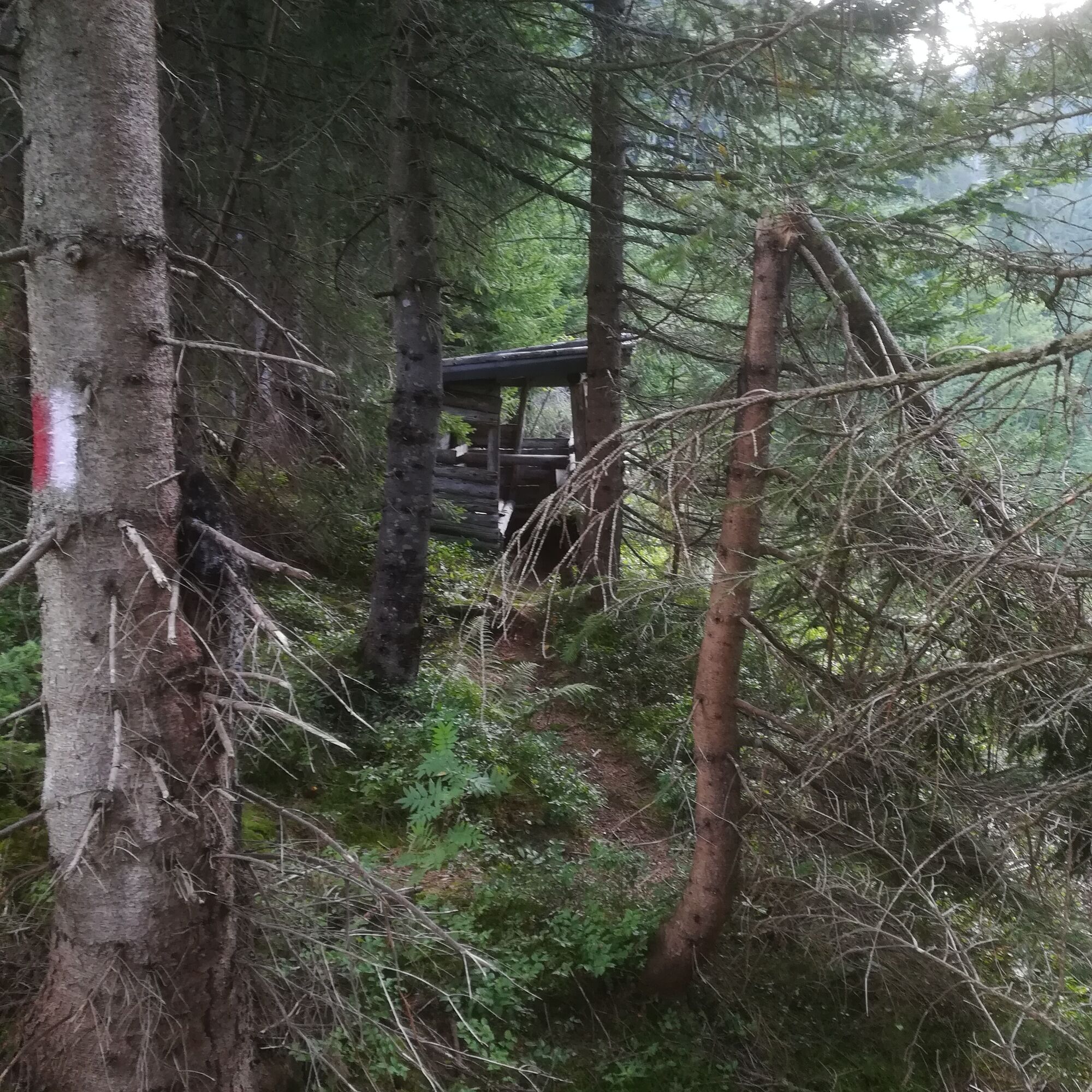
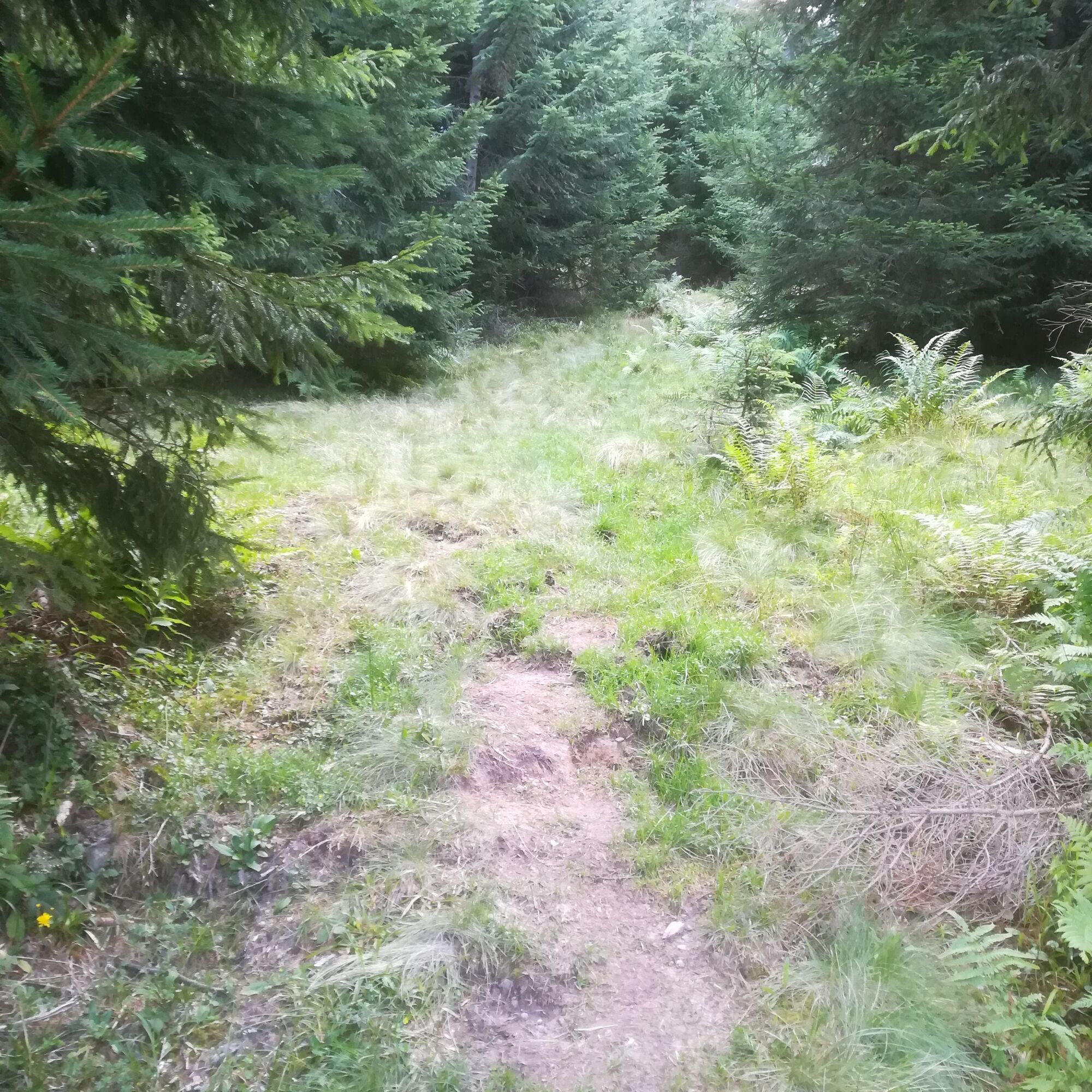
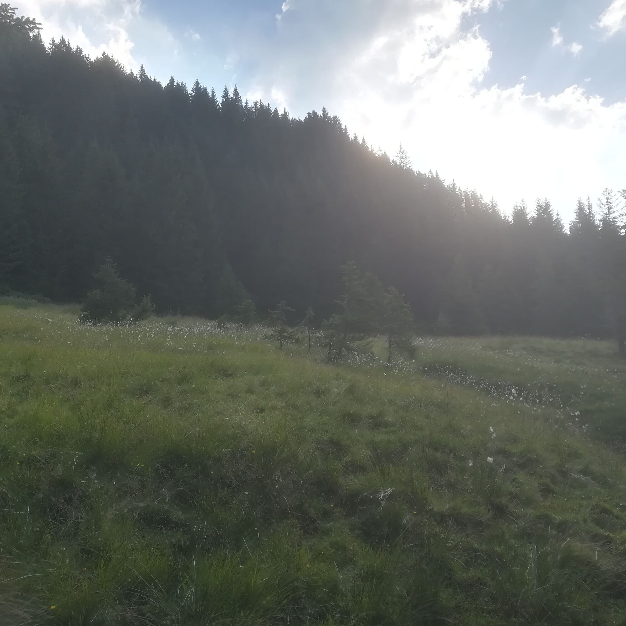
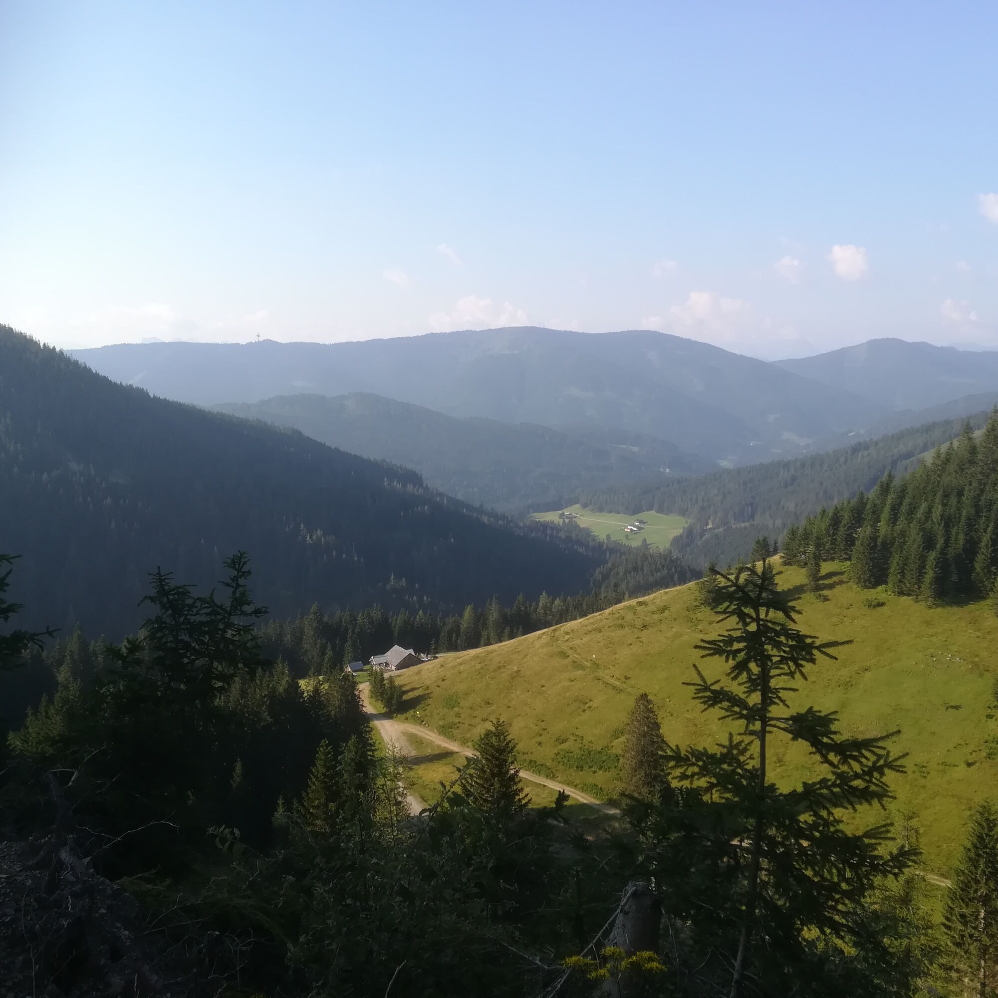
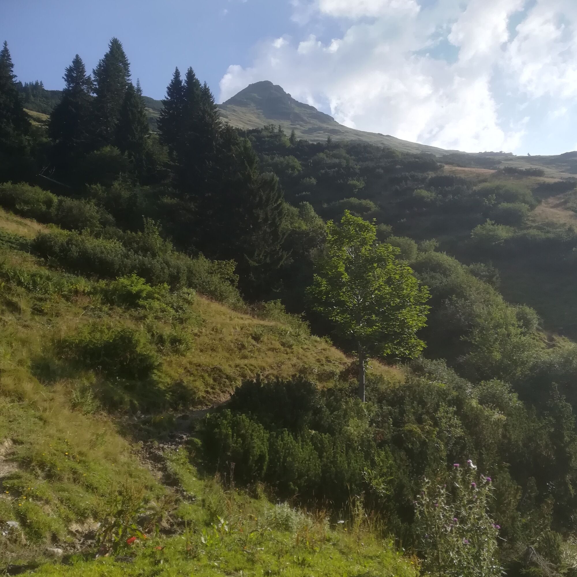
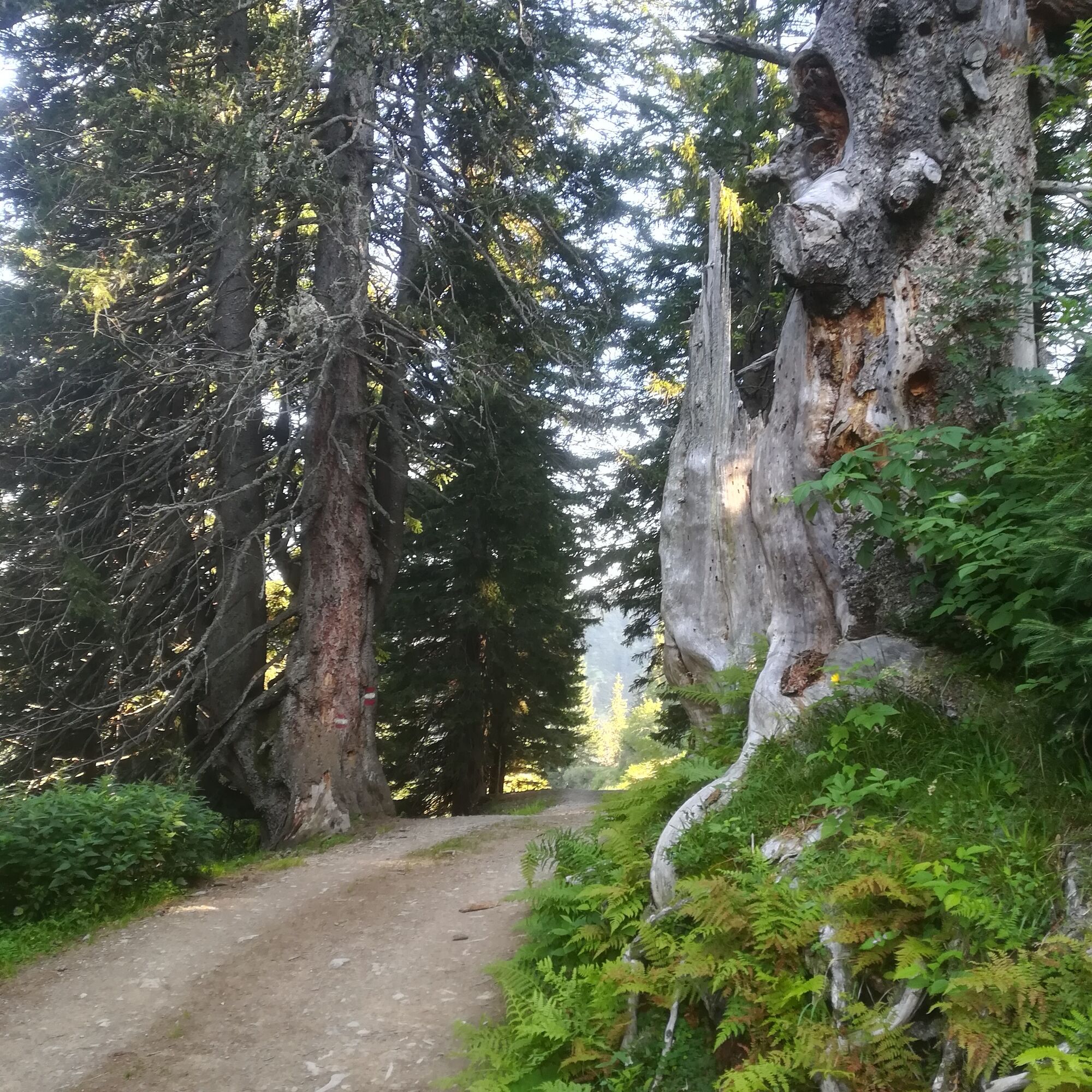
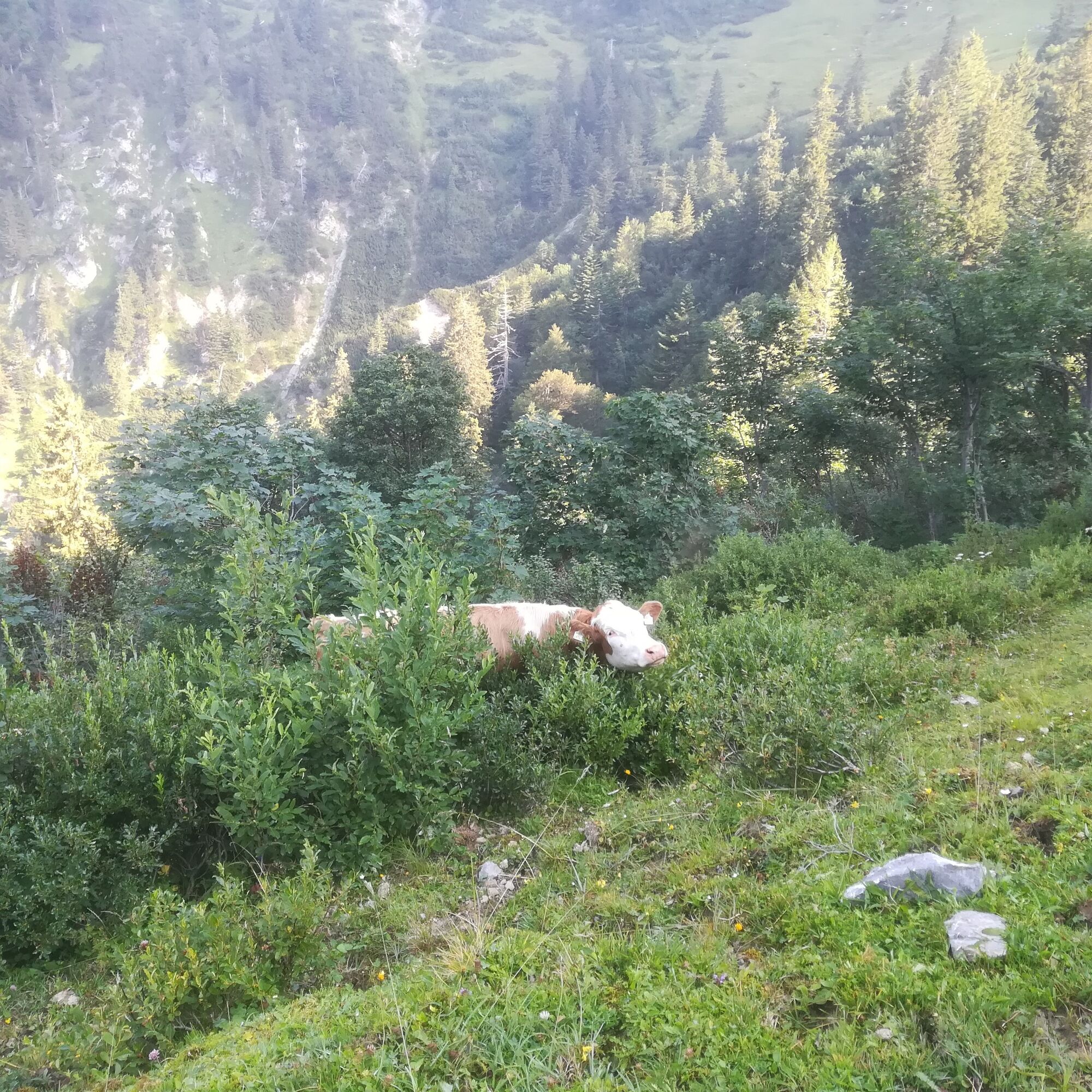
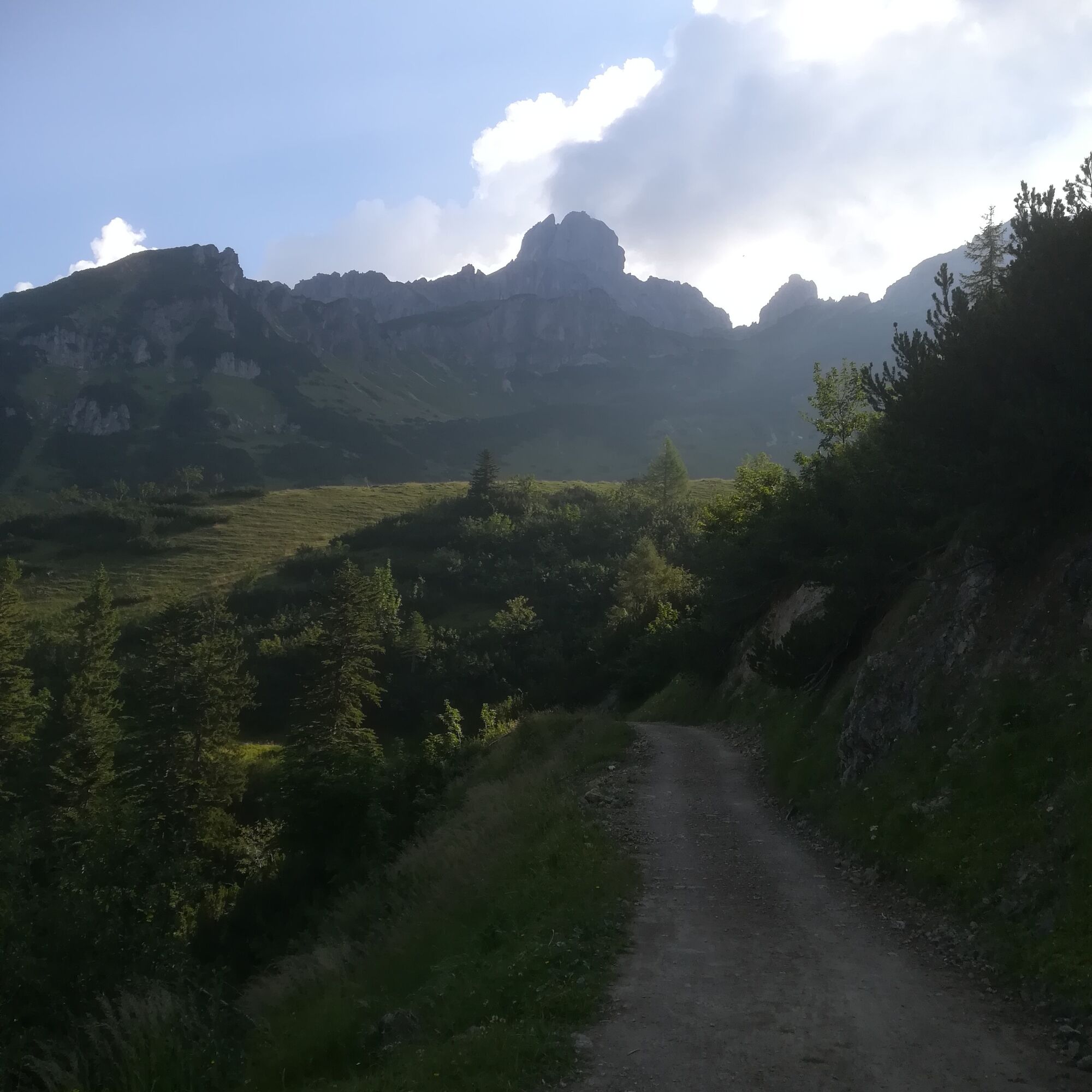
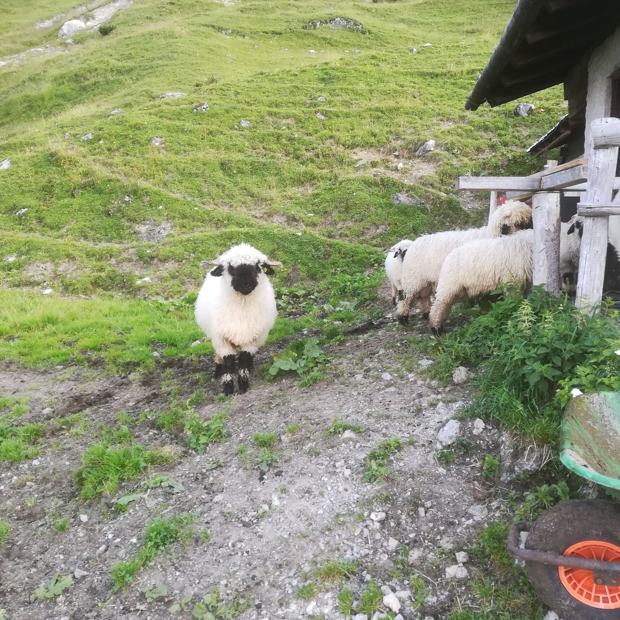
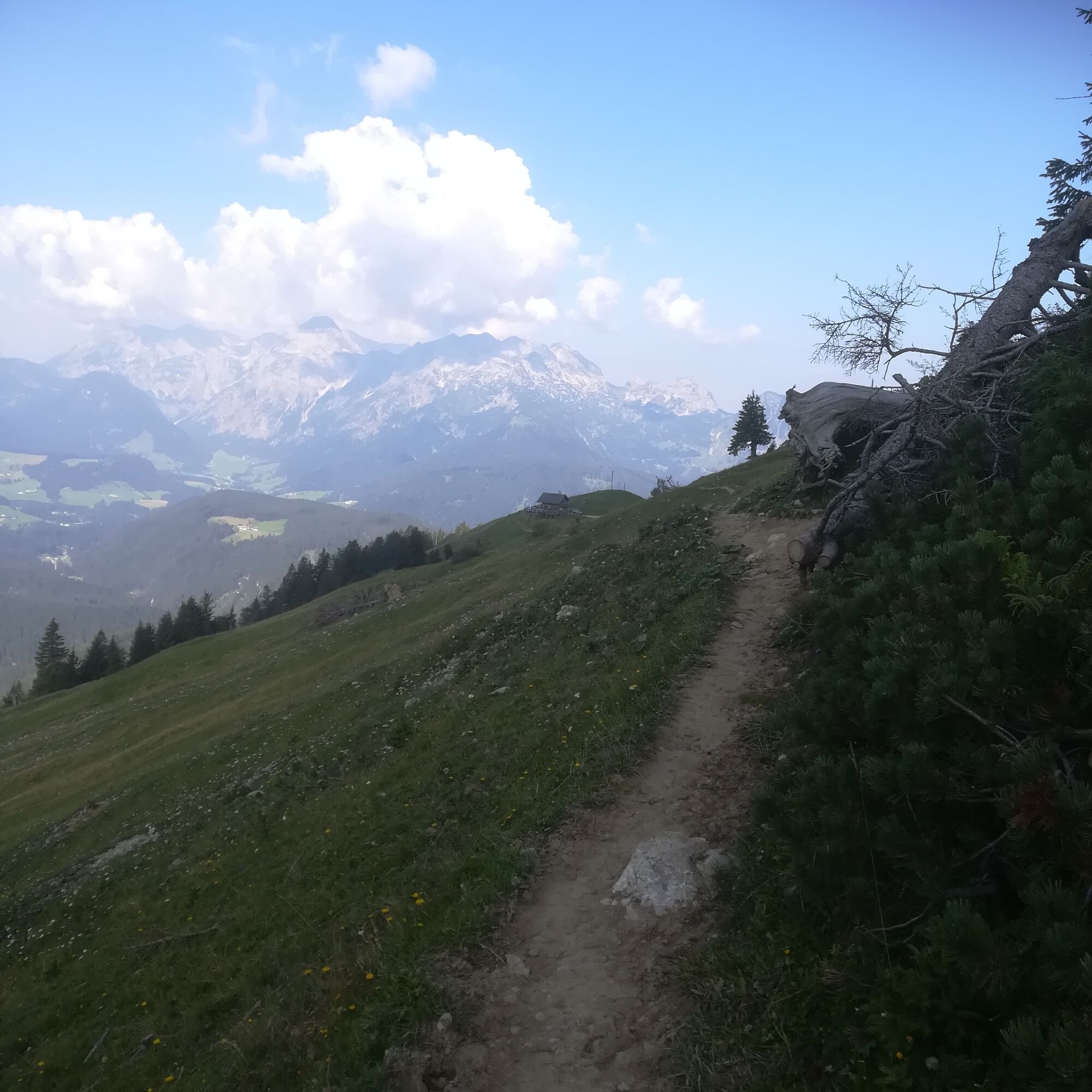
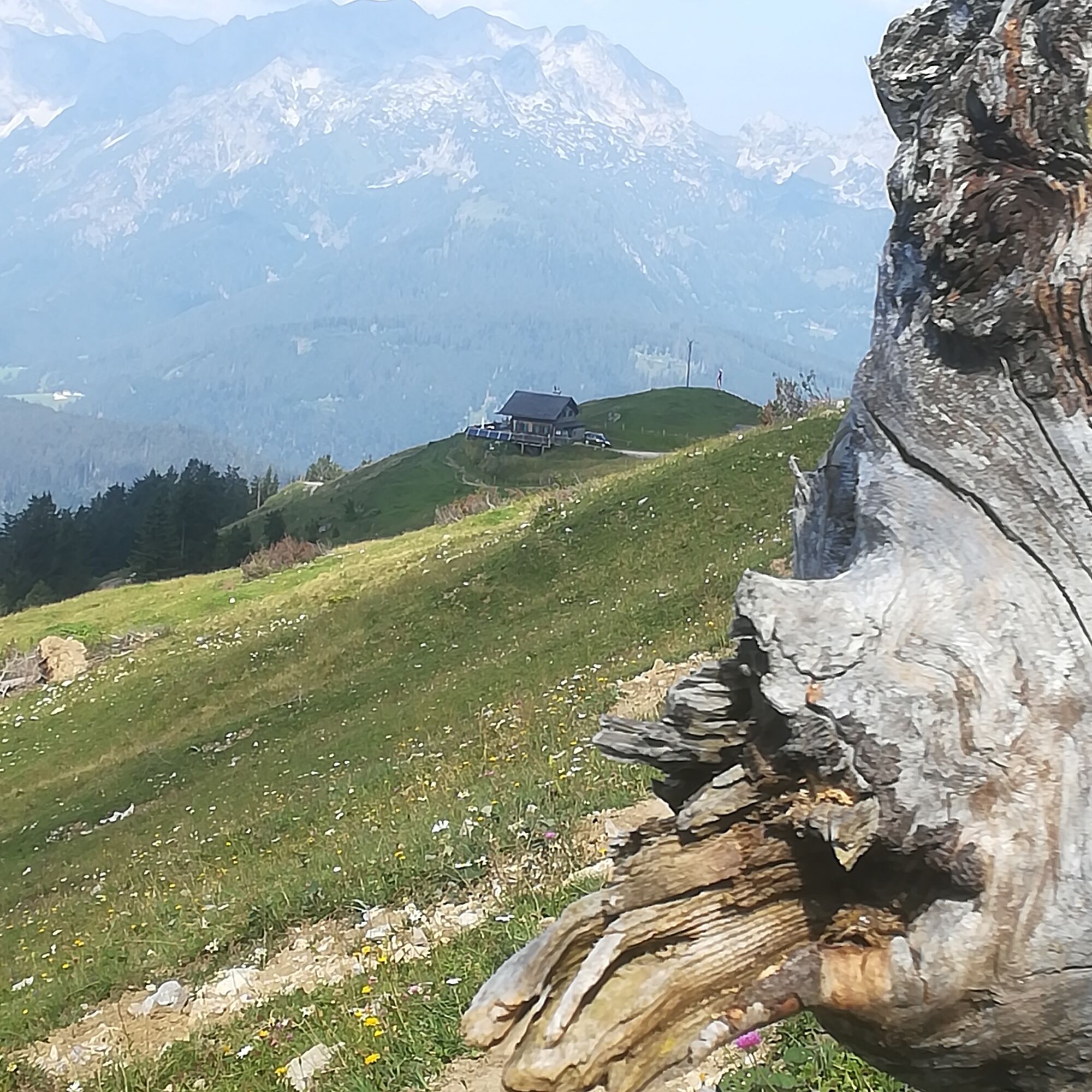

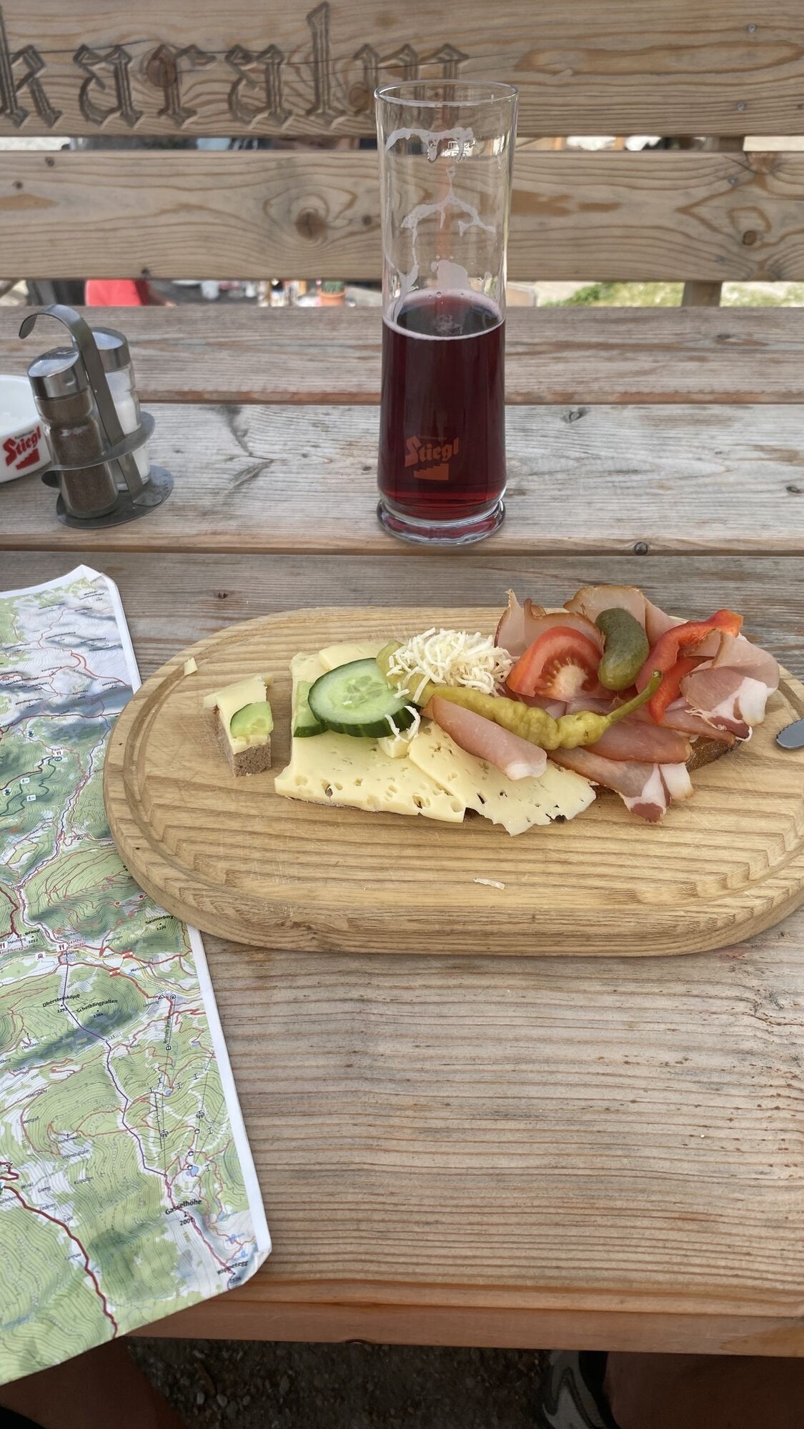
In Lungötz into Neubachtal up to the Wieseralm parking lot. From here the path goes towards the inn Gasthof Schichlreit (last parking possibility), then on the forest road and an alpine trail up to Arzbergalm. From here either follow the alpine pasture path or the forest road to Sulzkaralm (homemade cheese, butter, bread • ). Via an alpine trail it continues to Mahdalm, descent to the Mauerreith parking lot, following the road downhill to Unterdürrmoos and then left over the farm road into Neubachtal to the starting point.
For the alpine trails on this route, good footwear and surefootedness are required.
After the Mahdalm, there are only a few options to refill water bottles. The huts listed here are all staffed, however the alpine summer varies in length - please consider this when planning a stop.
From the A10 Tauern motorway exit Hüttau, turn left towards St. Martin, continue to Lungötz. There turn right into Neubachtal and continue straight to the parking lot.
Parking lot at Wieseralm (free of charge)
From the Sulzkaralm, it is possible to hike to the Mahdalm via the Mahdriedl. From there, you have a magnificent view over the entire mountain world (additional walking time: approx. 30 minutes). ATTENTION: Currently not possible due to snowfall (September 2022)
 Uzyskaj wgląd
Zawsze na żywo z ponad 9 500 kamer internetowych. bergfex Jako użytkownik Pro, możesz teraz zobaczyć odpowiednie kamery internetowe dla wielu wycieczek w aplikacji wycieczki od. Pozwala to na bezpośredni podgląd aktualnych warunków.
Uzyskaj wgląd
Zawsze na żywo z ponad 9 500 kamer internetowych. bergfex Jako użytkownik Pro, możesz teraz zobaczyć odpowiednie kamery internetowe dla wielu wycieczek w aplikacji wycieczki od. Pozwala to na bezpośredni podgląd aktualnych warunków.
Popularne wycieczki w okolicy
-
4,5
Ramsau am Dachstein: Steinerne Jungfrauen
Wędrówka 8,11 km -
4,3
Filzmoos: Rötelstein (Rettenstein)
Wędrówka 9,50 km -
4,8
Werfenweng Mountainbikerunde Söldenhütte
średniMountainbike 18,8 km -
4,8
Tour around the Gosaukamm
średniWędrówka 20,9 km -
4,9
From Rußbach over the Gamsfeld
ciężkiWędrówka 11,5 km -
4,7
Tor-Wanderung
ciężkiWędrówka 14,2 km -
4,7
Tour around the Lake Gosau
światłoWędrówka 4,43 km -
4,5
Adamekhütte vom Vorderen Gosausee
średniWędrówka 23,2 km -
4,8
Hoher Dachstein
średniWycieczka wysokogórska 6,49 km -
4,4
Rittispanoramaweg
światłoWędrówka 5,30 km
Wędrówki i tropienie


Nie przegap ofert i inspiracji na następne wakacje
Twój adres e-mail została dodana do listy mailingowej.





